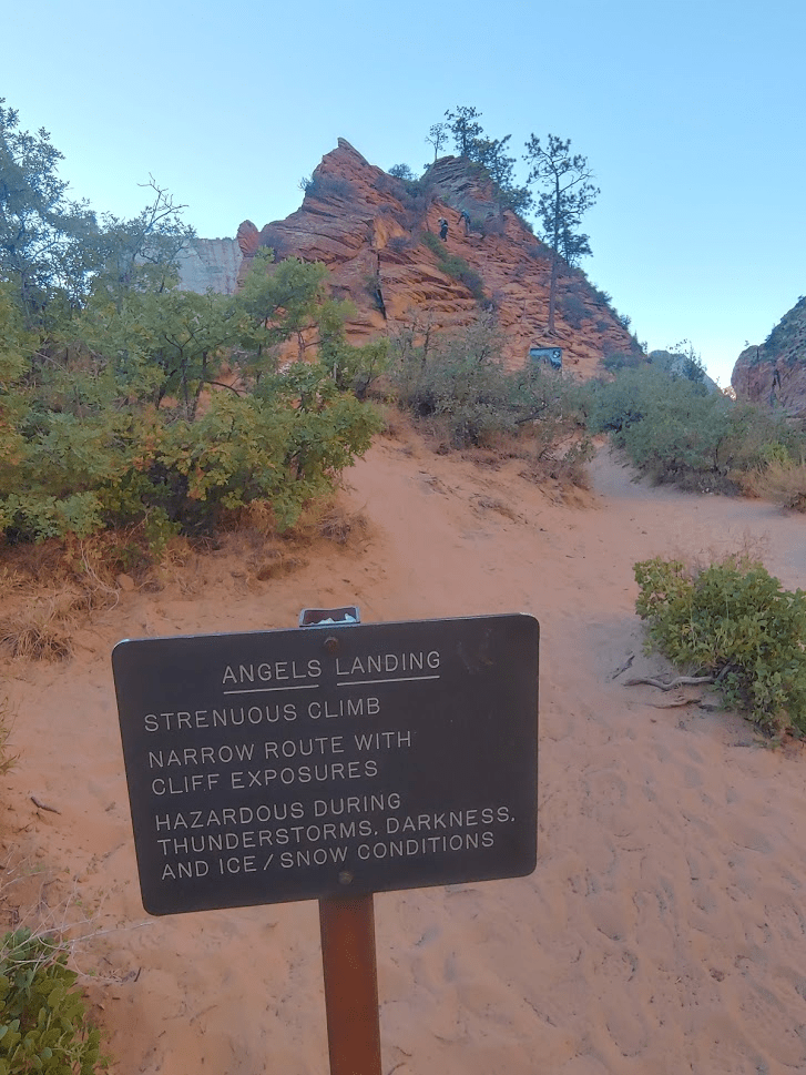
Angels Landing
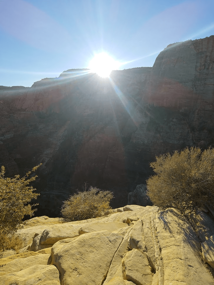
I woke up on Tuesday for my 2nd day in Zion at 5:15am. I had to get to the visitor center early again to catch the shuttle. It took about 45 minutes to drive from the East Mesa Trailhead to the visitor center. I saw 10-12 deer on the drive, mostly just off the side of the road looking for the things to nibble on. I made sure to drive carefully, but the deer all seemed so accustomed to cars driving by that they never looked like they were going to jump out into the middle of the road. It was nearly 60 degrees at the visitor center compared to 35 when I woke up on the east rim. My plan for the morning was to hike Angels Landing (5790 feet), which is Zion’s other iconic hike (along with the Narrows). Once again, it was pitch black out when I first boarded the shuttle at 7, but gradually started to get lighter as I made my way up the canyon. I got off at The Grotto shuttle stop and began hiking at 7:26am from 4270 feet.
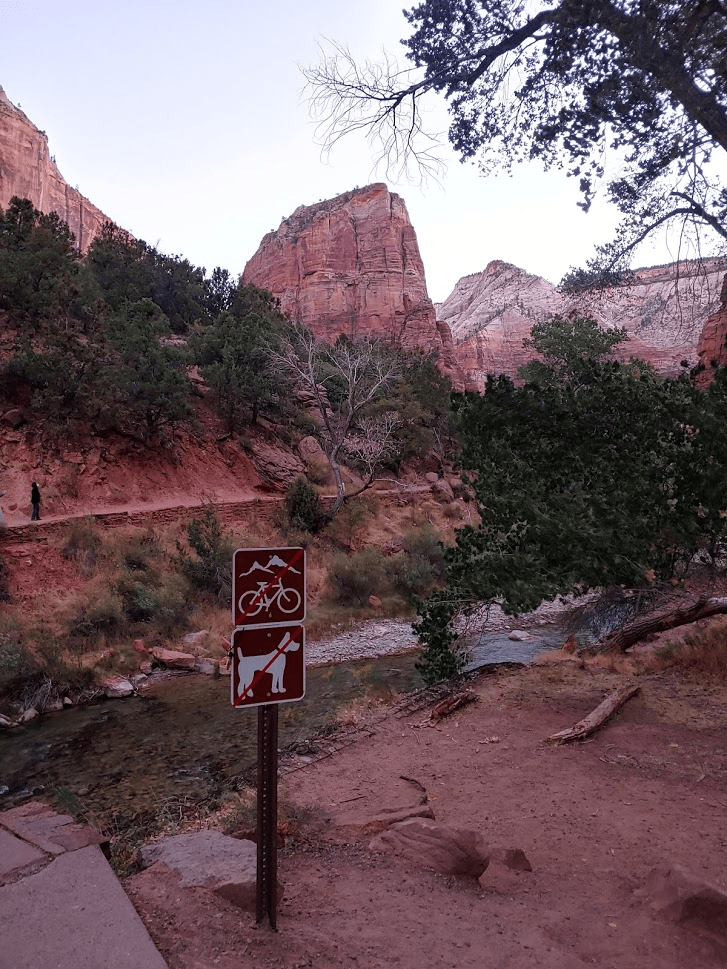
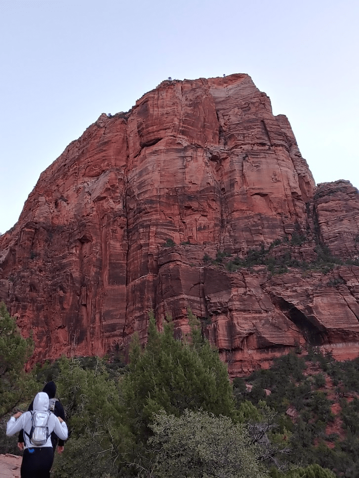
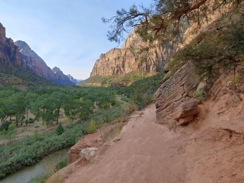
I crossed to the west side of the Virgin River and began hiking north towards Angels Landing, which is a massive rock formation that juts out into the canyon. It looked very impressive from the lower part of the trail.
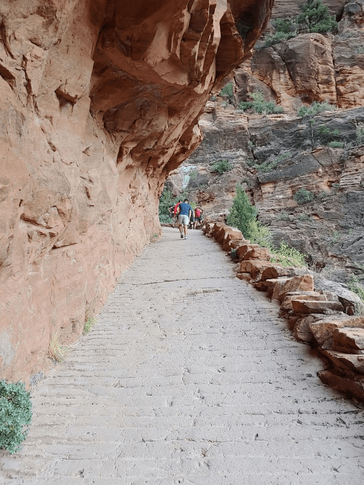
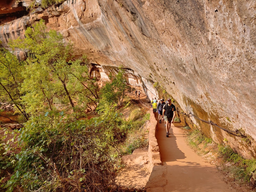
The trail is actually paved which I thought was pretty lame. There were plenty of other hikers out, but it wasn’t too crowded yet.

It was pretty warm already, so I immediately shed the layers I had on. I passed many hikers on the way up.
The trail makes a few switchbacks and then climbs up a canyon between Angels Landing and the adjacent rock wall. My GPS started to freak out here again.

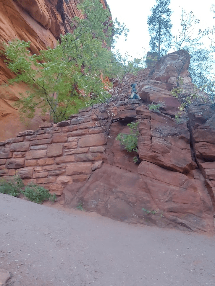
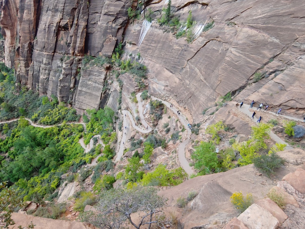
The trail then makes a sharp 180 degree back to the south. The next part is called “Walter’s Wiggles,” which is a section of very short and steep switchbacks.
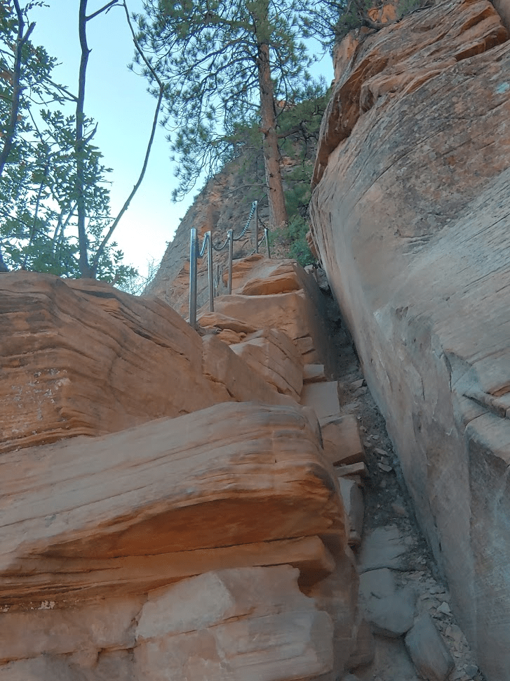
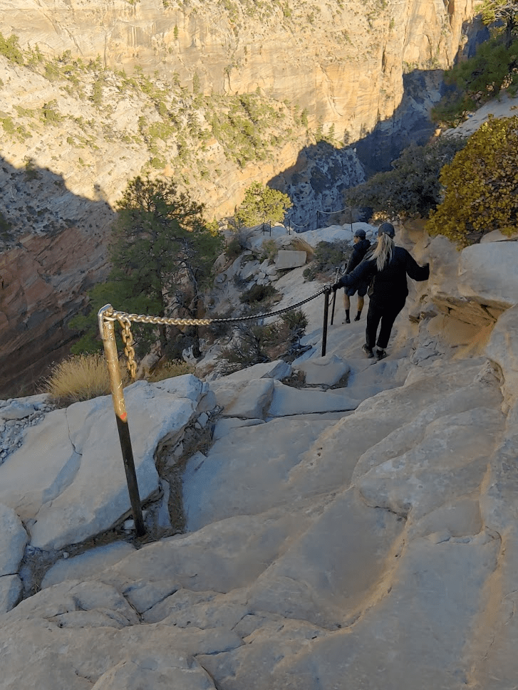
At the top of Walters Wiggles, I made it to Scout Lookout at about 2 miles. The final half mile to the summit is known as the “Chains” section. It is a class 3 climb along a narrow spine with steep drop-offs on either side. Fixed chains have been installed by the Park Service to help hikers safely make it through this section. The chains had actually been closed for the last few months due to Covid but just reopened within the last week or 2. I was very happy about that – it would have been a bummer to drive all the way to Zion and not be able to climb Angels Landing.
The Chains section was cool but maybe not as scary as I had been prepared for. I certainly could have made the climb without them, but I can see why they are necessary given the hundreds of people on the trail each day. I was glad to be up here so early to avoid any major bottlenecks along the route.
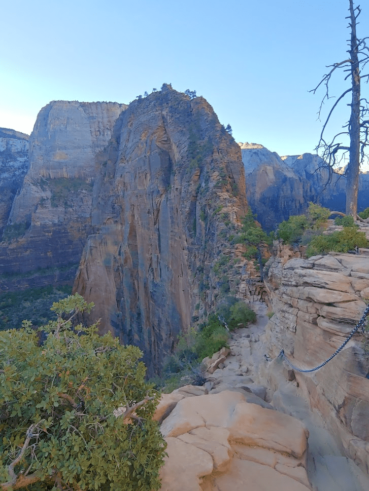
There were only a few people on the route now. I carefully made my way towards the top. It was very windy on the low point between Scout Lookout and Angels Landing.

The wind died down as I climbed higher. I was close now!
Just a little further!

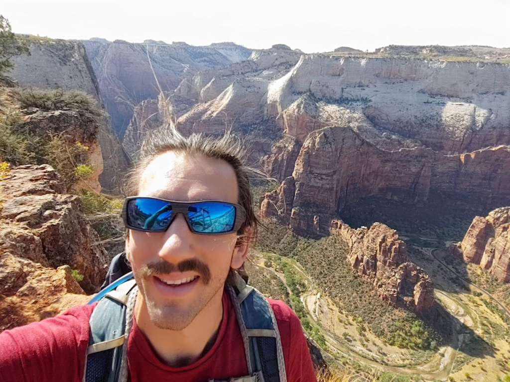
I made it to the top at 8:31am at 2.54 miles!

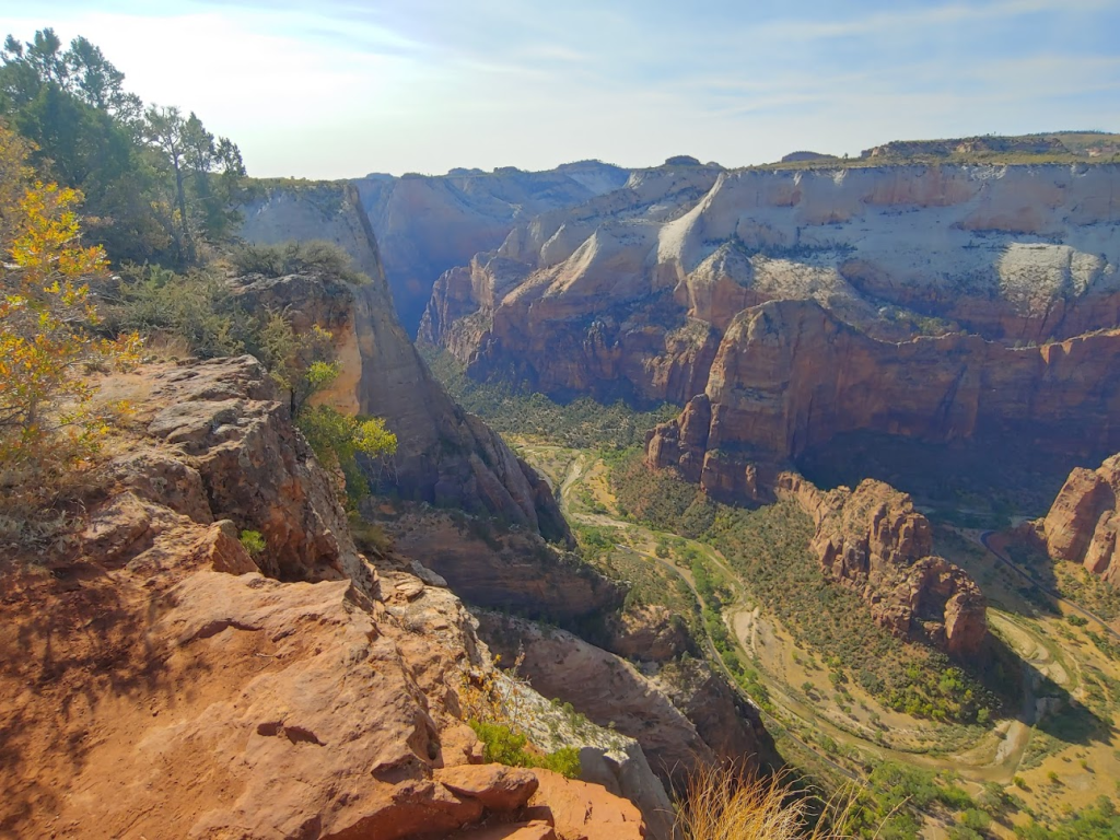
The view obviously was stunning. It was similar to Observation Point, except Angels Landing is about halfway up the canyon whereas Observation Point is up on the rim. Here is the view looking south down Zion Canyon:
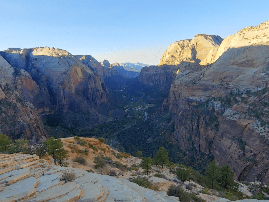
The is the view looking north up Zion Canyon towards the Temple of Sinawawa:

The sun was just beginning to poke up above the east rim.
There were a few other hikers up there as well, but it wasn’t too crowded yet. I spent about 30 minutes on the summit enjoying the view and then began the descent.
I was careful during the descent, but the chains made it easy. I was glad to be wearing my hiking boots with good traction.

At 3.11 miles I made it back to Scout Lookout. I then proceeded back down Walters Wiggles.
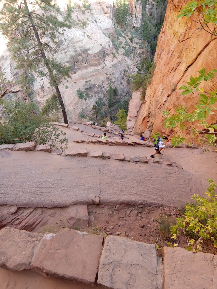
The trail was getting very crowded now as I headed back down towards the canyon floor.

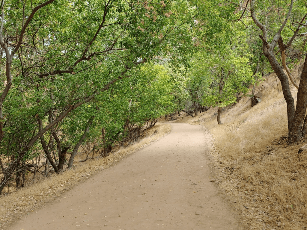
At 5 miles I reached the bottom. Rather than cross the Virgin River and return to the shuttle stop, I decided to keep hiking. My plan was to continue south on the Kayenta Trail towards the Emerald Pools, then cross the river to Zion Lodge, and then return to my starting point via the Grotto Trail. The Kayenta Trail, which thankfully isn’t paved, was very beautiful as it parallels the Virgin River on its way south.
The trail was slightly uphill. It was still shady in the canyon as the sun wasn’t high enough yet to get over the walls. It took about a mile to reach the Emerald Pools area. There are 3 pools, so I decided to visit the lower pool first.
I reached Lower Emerald Pool at 5.97 miles.
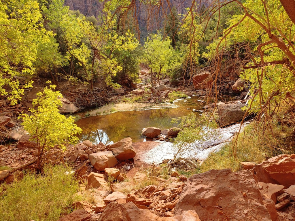
There was a cool waterfall spraying down from the Middle Pool to the Lower Pool.

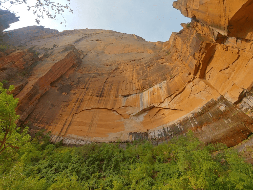
I climbed up right past the Middle Pool on accident. The trails were a bit confusing in this area. I reached the Upper Emerald Pool at 10:42am at 6.55 miles.

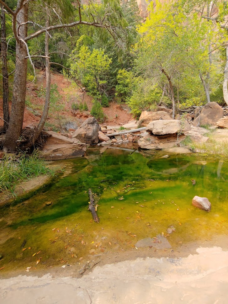
They are called Emerald Pools due to a type of algae that grows in them that gives them a greenish color. The Upper Pool was surrounded by some very impressive rock walls.
I took a short break and then hiked down to the Middle Emerald Pool, which I reached at 7.1 miles. This was the greenest of the 3 pools.
I then descended towards the canyon bottom and crossed the Virgin River again.

I reached Zion Lodge at 8.23 miles.

Zion Lodge is a rather large complex consisting of many cabins for guests to stay in, as well as a gift shop and café. I considered exploring the gift shop real quick, but there was a long Covid line to get in so I opted against it. I could have caught the shuttle back to the visitor center from here, but it was only a half mile back to the Grotto bus stop and I wanted to complete the loop. I followed the very easy Grotto Trail for about a half mile.
I saw a beautiful butterfly in the grass off to the side.

I reached the shuttle stop at 11:45am. This hike totaled about 9 miles and 4:19:50 total time. I’m posting my GPS track below but once again the elevation gain is nonsense (I’m guessing it was around 2000 feet total).


Cable Mountain
I rode the shuttle back to the visitor center and got back to my car. Despite how awesome Zion Canyon was, I was not sad to be leaving the massive crowds behind. I also wasn’t a fan of having to leave my car and ride a shuttle around. I see why it’s necessary in a place like Zion, but the whole thing felt more like Disneyland than an actual wilderness experience. I had one more hike to do in Zion before leaving – Cable Mountain (6940 feet). This hike would be very similar to the previous afternoon – a few miles through the forests on the eastern rim and then an incredible viewpoint at the end (Cable Mountain is not a real mountain but a point on the rim, just like Observation Point). I once again drove to the East Mesa section of the park and arrived at the Stave Trailhead, about a few miles south of the trailhead I used the previous day for Observation Point. Again, this required driving on some dirt roads, but they were smooth and well graded. I even saw a Dodge Charger at the trailhead (I wouldn’t recommend that though). I began this hike at 1:49pm from 6403 feet.

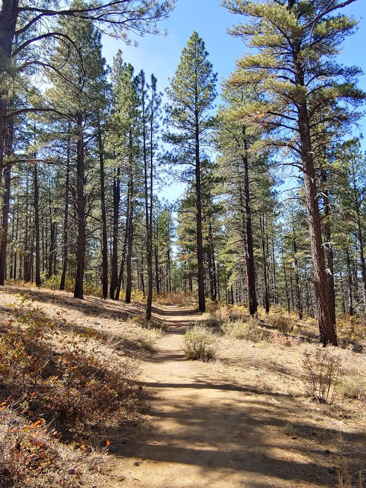
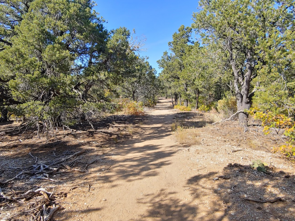
The trail starts out heading west through tall pine trees.
I almost immediately ran into 2 people wearing yellow jackets. They turned out to be Search and Rescue out looking for a missing hiker. I had actually noticed some signs down in the canyon earlier that day referencing a girl who was missing. They asked me if I had any information and then sent me on my way. For anyone interested, the missing hiker was found a few days later, but the story is very strange (sounds like the whole thing was possibly a Gofundme scam by her and her family). Anyway, I continued on the trail as the trees thinned out.
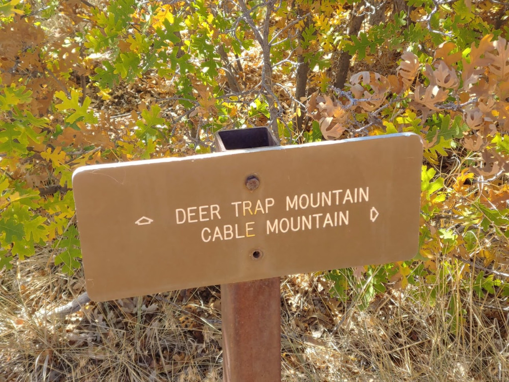
I went left at a junction at 0.6 mile and then right at 0.9 mile. At 1.5 mile I ran into 2 more SAR personnel and I also told them I didn’t have any information. At 2 miles I reached the junction for Deer trap and Cable Mountains. Deer Trap is another viewpoint along the rim. It’s a bit further which is why I chose to do Cable. Combining both into one hike is an option as well, but I didn’t have time for all that.
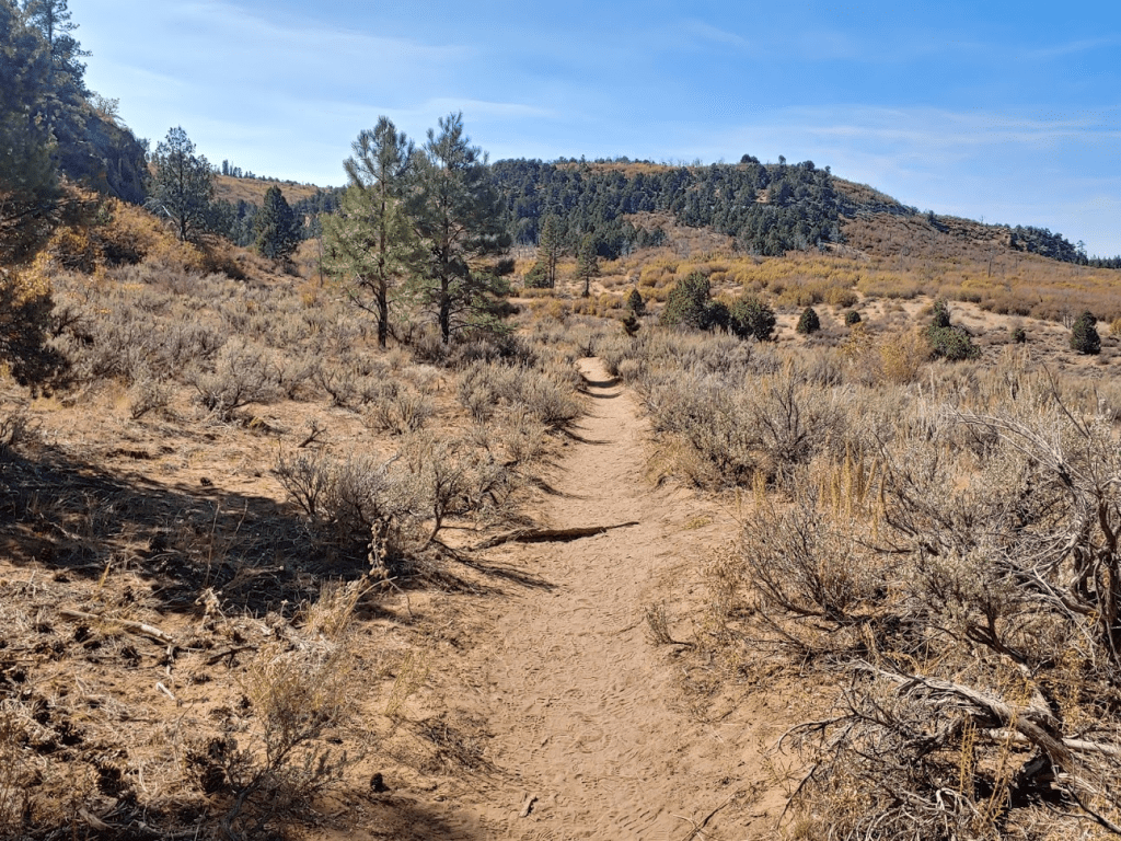
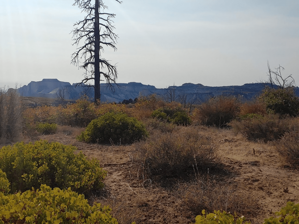
The trail went over a small hill and then began descending gradually to the rim. The scenery looked just like the Observation Point Trail the day before.
I reached Cable Mountain at 3:08pm at 3.85 miles!
I took my shoes off and had a nice break. Cable Mountain is just across the canyon from Angels Landing.

This was the view north up the canyon:

And this was the view south:
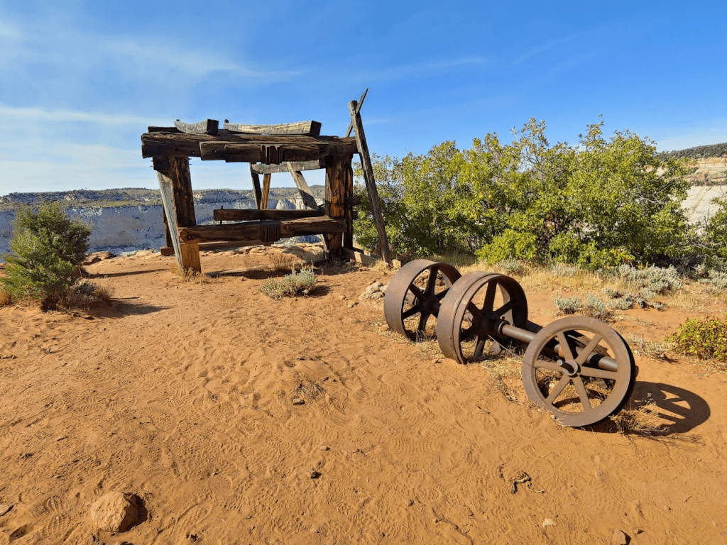
There was an old cable works on the summit that I checked out (hence the name Cable Mountain). The structure was used to lower lumber from the rim down into the canyon during construction of the Lodge in the 1920s.
I spotted a helicopter while I was up there. I think helicopter tours are a popular way to see the canyon (lame).

After I was done enjoying the views, I returned the way I came. I made a quick stop at a minor peak just off the trail of elevation 6939 feet.
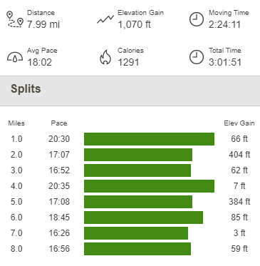
I then hiked back to the trail and retraced my steps to the trailhead. This hike totaled 7.99 miles, 1070 feet elevation gain, and 3:01:51 total time.

It was finally time to leave Zion and continue my road trip. I had only spent 2 days there, but I was excited to get on the road again and keep moving. I packed up and drove back out to State Route 9 which I took east to Mount Carmel. I stopped there and got a sandwich at Subway – this would be my 2nd and final actual meal of the entire trip. I also restocked on fuel, ice, and a few other grocery items. I was planning to do Bryce Canyon the next day so my plan for the evening was to drive up that way and then camp in some national forest land just outside the park (this is still Dixie National Forest). I took US-89 north to State Route 12, which I took east for a few miles and then turned left (north) onto Toms Best Spring Road. I drove a few miles up this well graded dirt road and found a nice spot to park for the night. Note there are dozens of excellent spots in this area both for tents and RVs so this is a great area to keep in mind if you are looking for free camping near Bryce Canyon. The elevation was around 7800 was got pretty cold in the night. I had an excellent night of sleep.
To be continued…
