I was off on the beginning of an epic 10 day, 9 night road trip through the Southwestern United States. My primary destinations were 3 of Utah’s famous national parks, as well as the North Rim of the Grand Canyon. I also was hoping to sprinkle in some desert peaks in the area. It would be the 2nd longest road trip of my life, the first being a 2 week trip I took in August 2018 that covered 8 states and culminated in an ascent of the Mount Whitney, the highest peak in the Contiguous United States. I had an entire week off work and had spent the previous month or so planning every meticulous detail, from which hike I planned to do each day to where I planned to sleep each night. I left around 6pm on Friday October 9th, with my only plan for the evening to drive as far as I could before I got tired. I ended up parking on a dirt road near the Rasor Road exit on I-15, about 13 miles south of Baker, CA. It was a fairly warm night, but I still managed a decent night of sleep.
I woke up at 5am the next morning and quickly was on the freeway heading north again. My plan for the day was to climb Virgin Peak, an 8071 foot desert peak in Gold Butte National Monument about an hour north of Las Vegas in southern Nevada. I took the Highway 170 exit near Mesquite and then turned right onto Gold Butte Road. This is a paved road, but it’s definitely seen better days. It was about 20 miles to Whitney Pocket, where I turned left (east) onto Whitney Pass Road. I noticed some decent campsites around here among forests of Joshua trees. I drove a short way and then turned north onto a poor dirt road. I stopped just a short distance from the main road and started hiking at 8:56am from 3865 feet.

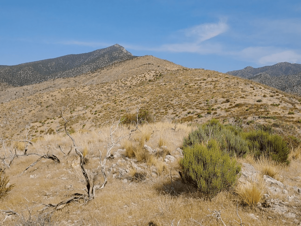
I started out by continuing north along the road. Virgin Peak was immediately visible in the distance.
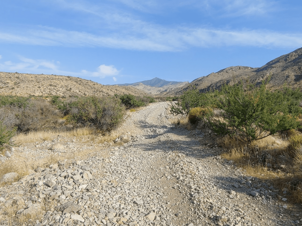
It was already about 80 degrees out, but it was hazy (smoky?) which made the sun less intense. At 0.6 mile I reached an old corral. I certainly could have driven this far, but probably would have had to stop here. I certainly wasn’t too upset about adding one extra mile to the hike.

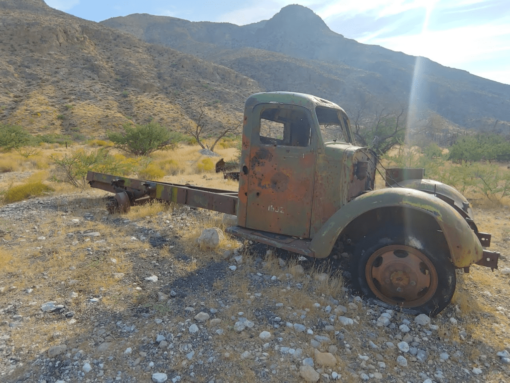
There was a cool old rusty truck near the corral.
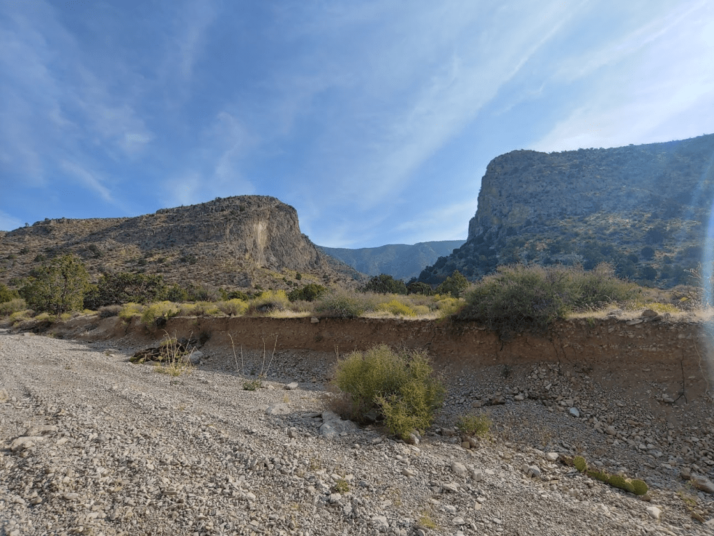
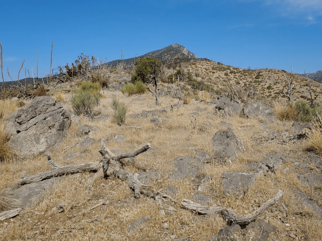
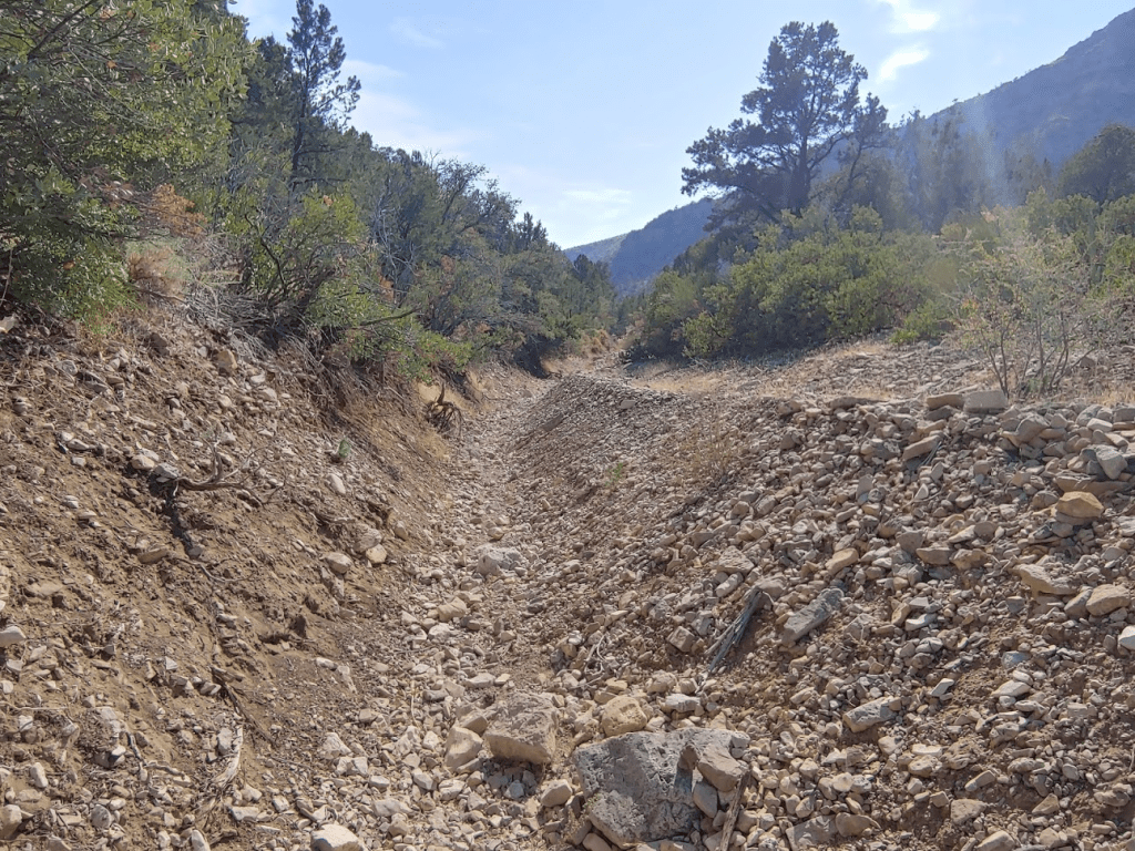
I continued north past the corral. The road started to get rough as it bent to the northeast and entered a canyon.

I passed a cool side canyon to the east. The steep rock faces in either side of the valley reminded me of a miniature Yosemite.
The main ridge leading up to Virgin Peak was now to my left (west). At 3.06 miles I left the road and started climbing up to the ridge.
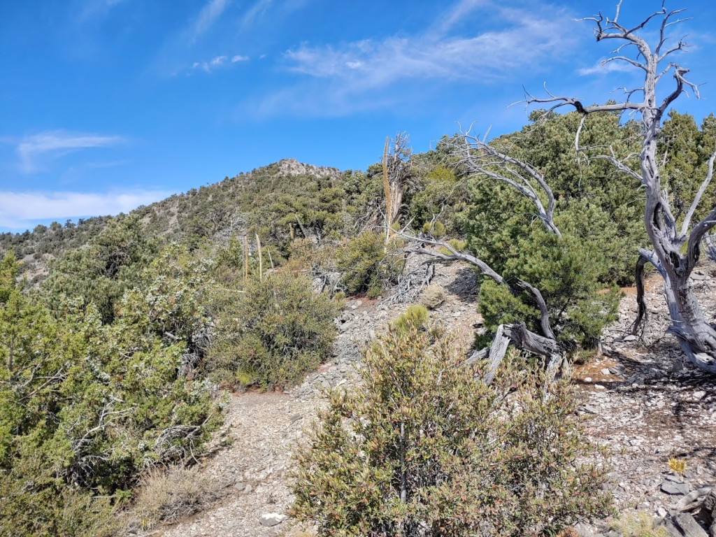
I reached the main ridge a short while later. Virgin Peak now appeared pretty close but was still a few miles away and about 2300 feet above me.
From here, navigation was extremely simple: all I had to do was keep walking north until I hit the peak.
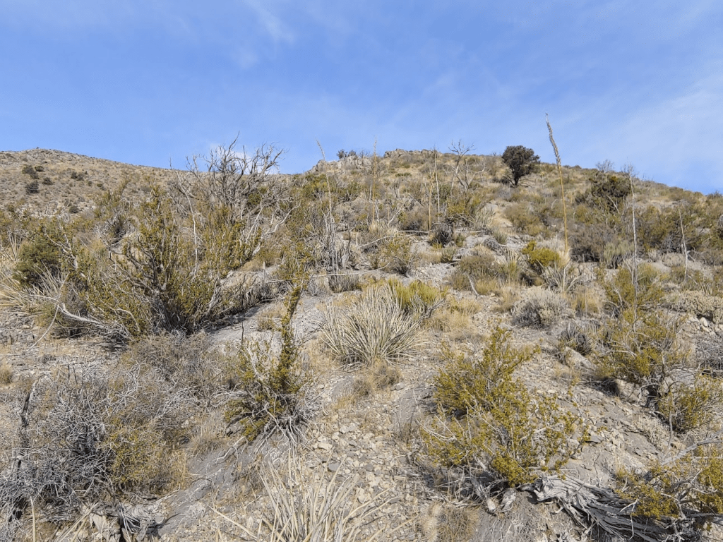
After about a mile on the ridge, the brush became much thicker around the 6500 foot level. The typical desert vegetation had given way to scraggly pinion pines and juniper shrubs. This slowed me down somewhat, but it wasn’t too bad.
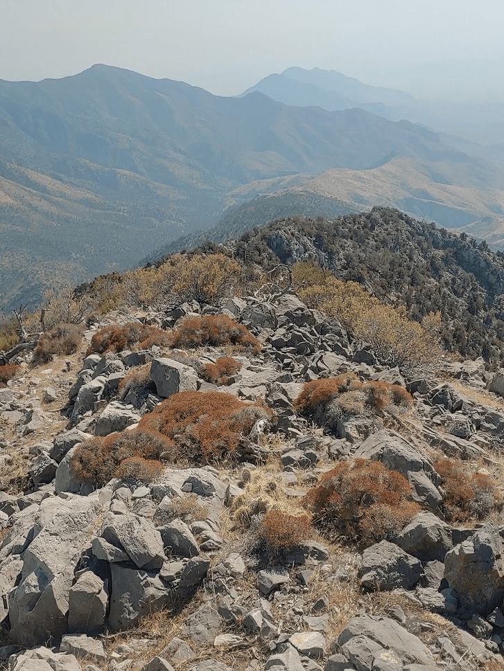
For much of the route, the ridge was broad enough that I was able to walk up it in a straight line. Towards the top, the ridge narrowed and became rockier, so I had to choose my route a little more carefully.
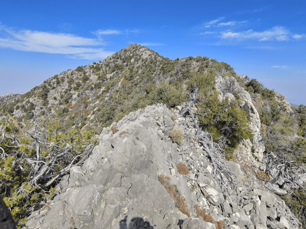
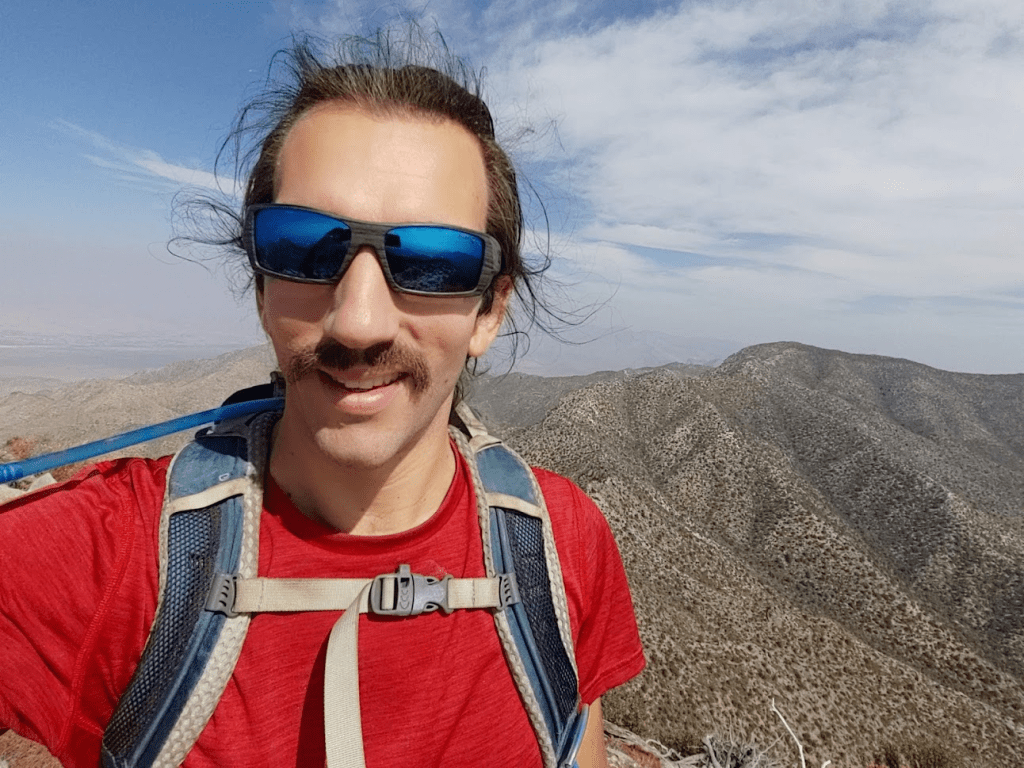
I reached the summit at 11:50am at 6.33 miles!
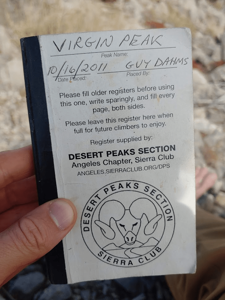
There are no USGS markers on this peak. I located the register which was an official looking Sierra Club notebook. The previous ascent had been May 23rd, nearly 5 months prior!
Unfortunately, the views were pretty much nonexistent due to the haze/smoke.
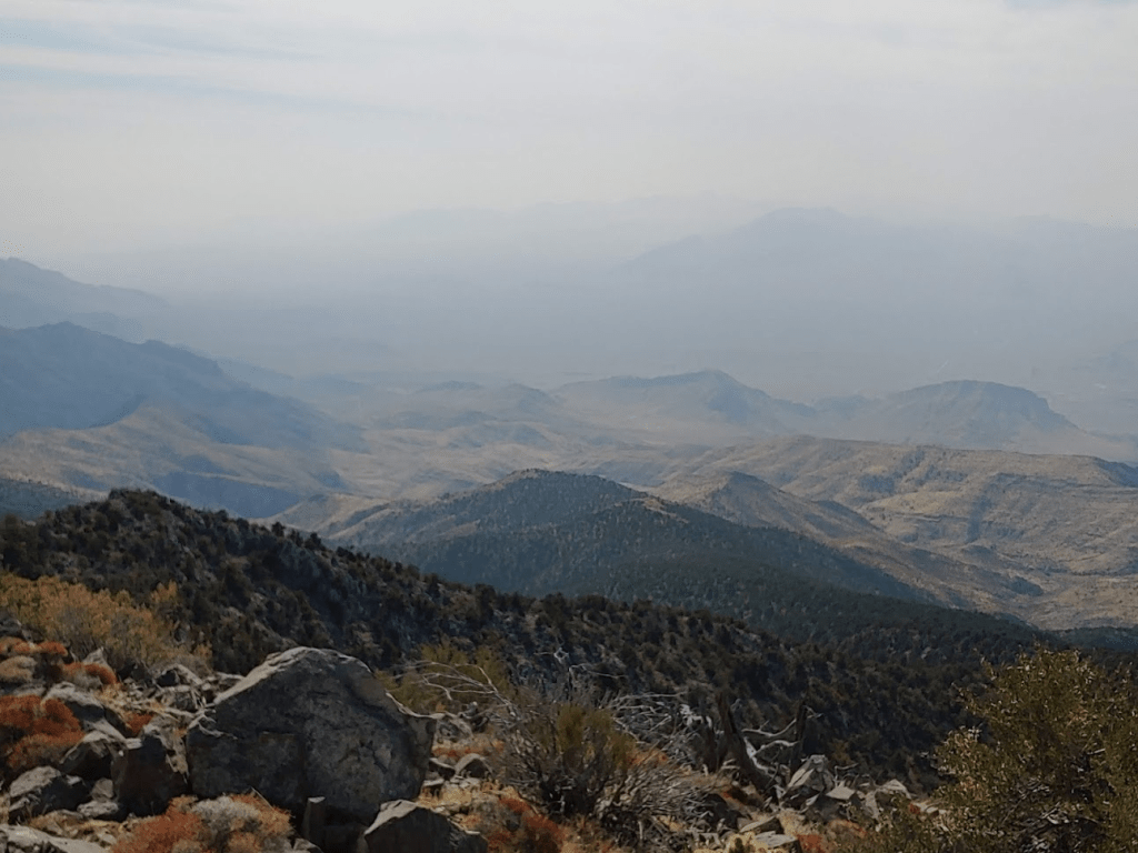
The only nearby peak I could really see clearly was Mount Bangs, a few miles northeast across the Arizona border (didn’t show up in any pictures though). I could also see the town of Mesquite, Nevada to the north as well as the Virgin River snaking its way towards Lake Mead (this is the same river responsible for the formation of Zion Canyon many miles upstream). I stayed on the summit for nearly 50 minutes before beginning the descent. I started by heading south down the same ridge I came up.
I decided to take a slightly different route down by leaving the main ridge sooner and climbing down to the road. I believe this is the old DPS route, back when the road was still passable up to that point. The road is now so badly washed out that the new DPS route ascends the ridge must sooner (my ascent route). I left the ridge to climb down to the road at 7.44 miles.

The way down was very brushy and there were also some rock formations to climb around. It was about a mile until I reached the road again. I had descended about 1200 feet from the ridge. The road was indeed in poor shape.
It was starting to get pretty warm now, but the haze still made the sun less intense than it could have been. Walking down the road was easy though, so I wouldn’t have minded some more direct sunlight. At 9.4 miles I passed another rusty old tuck a few yards from the road, this one in worse shape than the last one.

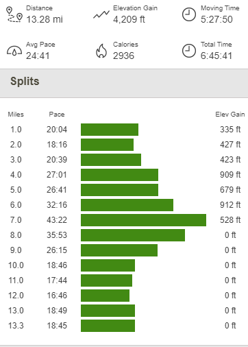
I rejoined my ascent route at 10.05 miles. From there, it was easy going back to the car. The breeze even picked up a little which felt nice. I did notice a jeep parked at the old corral. I hadn’t seen anyone else all day, so I wondered where the owner was. Perhaps they were also climbing Virgin Peak, and I missed them on separate routes? Who knows. I reached the car once more at 3:42pm. This hike totaled 13.28 miles, 4209 feet elevation gain, and 6:45:41 total time.

It wasn’t too late in the day yet, so I considered doing another minor peak nearby before heading to Utah. There are a few Zdon peaks in the area that I could have done quickly, but ultimately, I decided to take it easy since I had a ton of hiking planned for the next week. I made the long drive back to the freeway and continued northeast on I-15. The freeway passes through a small corner of Arizona before reaching Utah. This is honestly one of the craziest stretches of interstate highway I had ever seen, as the freeway travels through the impressive Virgin River Gorge. I reached the city of St George soon after crossing the state line. I lost an hour here as I switched from Pacific time to Mountain time. St George is actually a decent sized city (for being in the middle of the desert). I stopped at Chipotle for dinner, which would end up being one of only 2 real meals I would have all week. I then drove north on State Route 18 and then turned east onto a paved forest road which led to the small mountain community of Pine Valley. Here I drove to the Forsyth Trailhead, where I spent a very restful night at 6500 feet.
To be continued…
