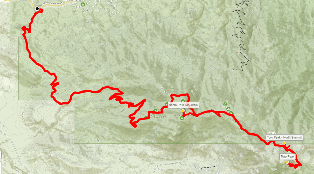
The Santa Rosa Mountains are a very rugged mountain range and contain some of the most remote places in Southern California. The mountains separate the Coachella Valley (Palms Springs/Indio area) from Anza Borrego Desert State Park. Few roads or trails penetrate the range. However, the range highpoint, Toro Peak, is accessible via a 13 mile Forest Service Road from Highway 74. Toro Peak is 8716 feet above sea level and is one of the most prominent mountains in Southern California. It can be seen from almost any high peak in the area. It had always bothered me that I had never climbed the peak, especially since I can usually see it from most other hikes I do. Up until a few months ago, I didn’t have a vehicle capable of making it up the 4WD road to the summit. A further complication is that the summit area is actually located within the Santa Rosa Indian Reservation. The top of the peak, which has a communications facility on it, is gated and access is restricted (this is typically ignored by hikers). I thought it was finally time to climb this magnificent peak. The road up the mountain is gated during the winter due to snow and ice, so I would be attempting an epic 28 mile hike along the entire length of the road from Highway 74. My plan was also to climb Santa Rosa Mountain (8070 feet), which is a subpeak of Toro, and is located just a short distance from the road at about mile 10. Since I was in for a very long day of hiking, I got a very early start. I woke up at 3:15am and was out the door at 3:45. It is about a 1 hour 45 minute drive to where I parked my car on the side of Highway 74 where the Santa Rosa Truck Trail begins.

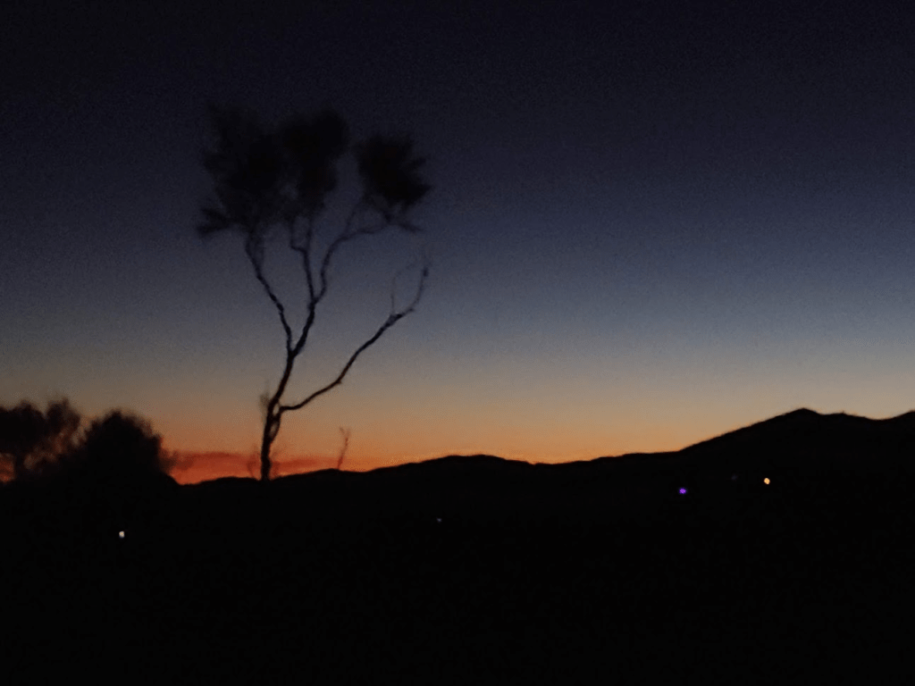
The trailhead is around 4550 feet above sea level, so I had a lot of climbing to do. I started hiking in the dark with my headlamp at 5:43am as I passed through the locked gate. It was pretty cold as I got started (upper 30s).

As soon as I passed through the gate, I was startled to see an animal carcass laying in the middle of the road. It creeped me out in the dark, so I quickly moved passed it. On the way back down, I looked more closely at it and saw that it was a bighorn sheep. The small size of the horn I found indicated it was a very young one. It couldn’t have been there long since someone would have moved it if the road was still open. The road closes November or December most years. The first signs of dawn were materializing in the east.
I only used my headlamp for about 30 minutes until it became light enough to move without it.
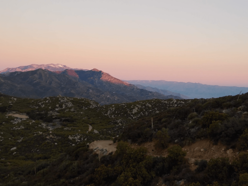
I could see the lights of Palm Springs in the distance behind me.
As I got a bit higher, I could already see San Jacinto and the peaks of the Desert Divide.
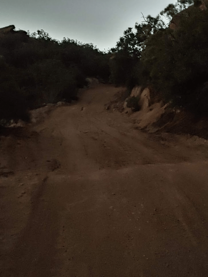
The road was wide and made for some easy walking.

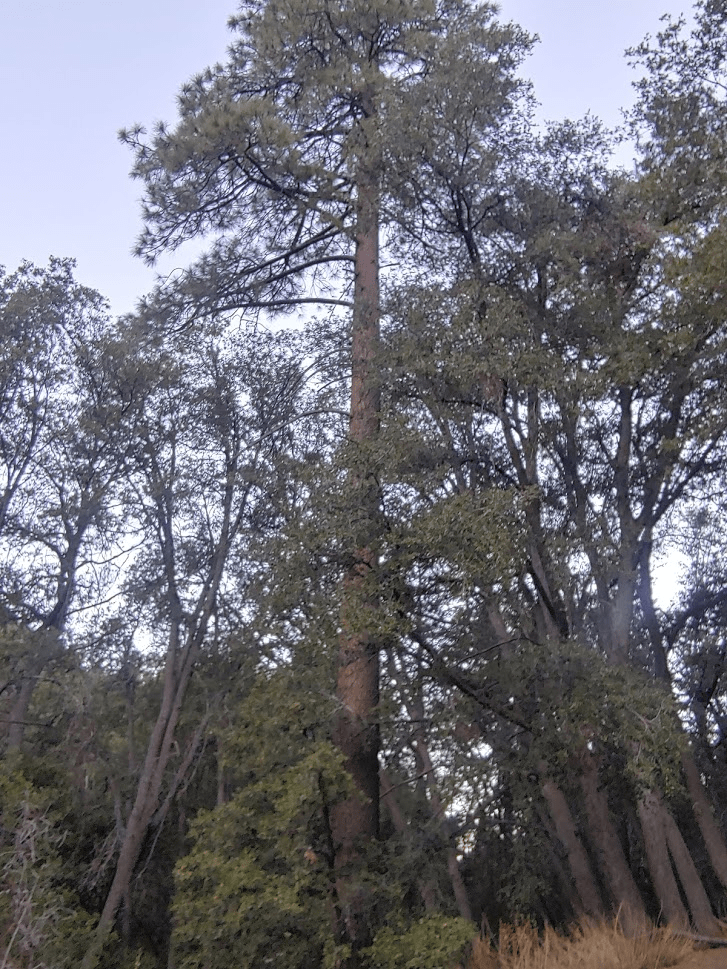
The vegetation for the first few miles is the usual low elevation chaparral. At just under 5 miles, the first pines trees began to appear at around 6000 feet.
Shortly after this, small patches of snow began appearing on the road.
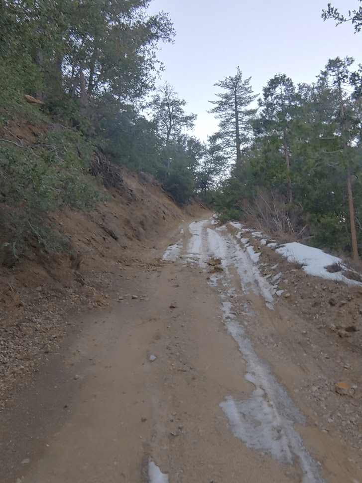
The next couple miles were a transition zone between the low elevation chaparral and the high elevation conifer forest.

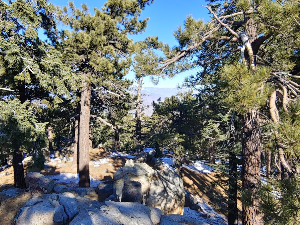
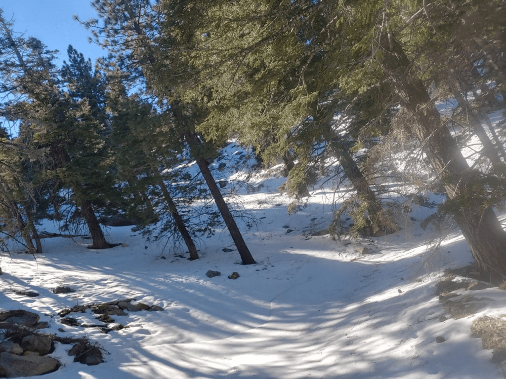
At around the 6700 foot level, the scenery was now completely pine forest. I was about 2 hours into my hike and had covered 6.6 miles. The snow patches were getting worse. I knew I would have to deal with snow and ice on this hike, but I was a bit concerned at how early it was becoming an obstacle. At this point, there were tire tracks in the snow which made it easier to walk through.
For the next mile or so, the road alternated between dry and snow-covered depending on which direction the slope was facing. At around 8am, I finally saw the sun for the first time as it rose above the foothills.

Many large pinecones littered the road.
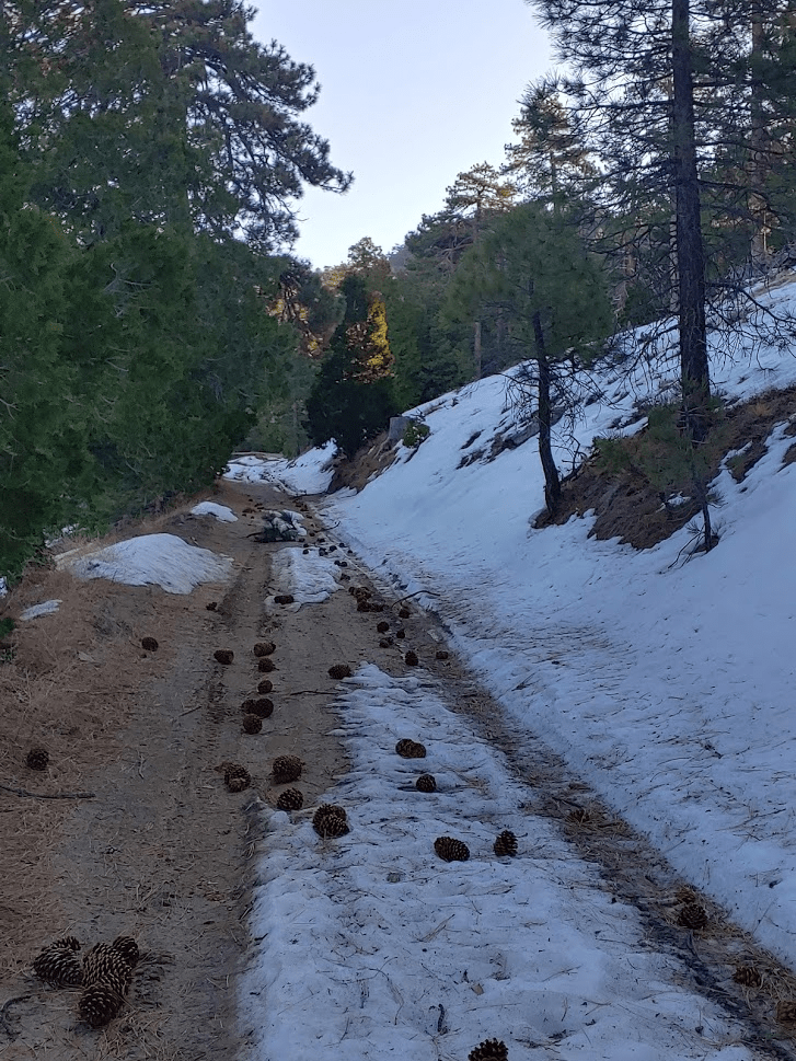
At about the 8 mile mark I passed a campsite. There are a few campsites scattered along the road at various points.

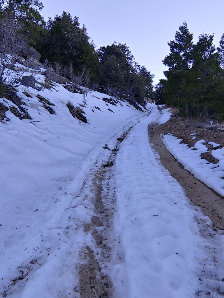
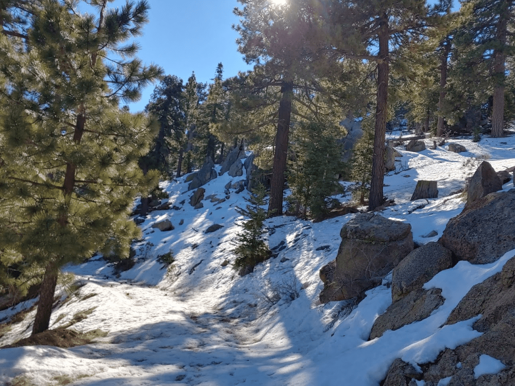
Above 7000 feet most of the mountain was covered in snow. It started to slow me down a bit but not too much yet.

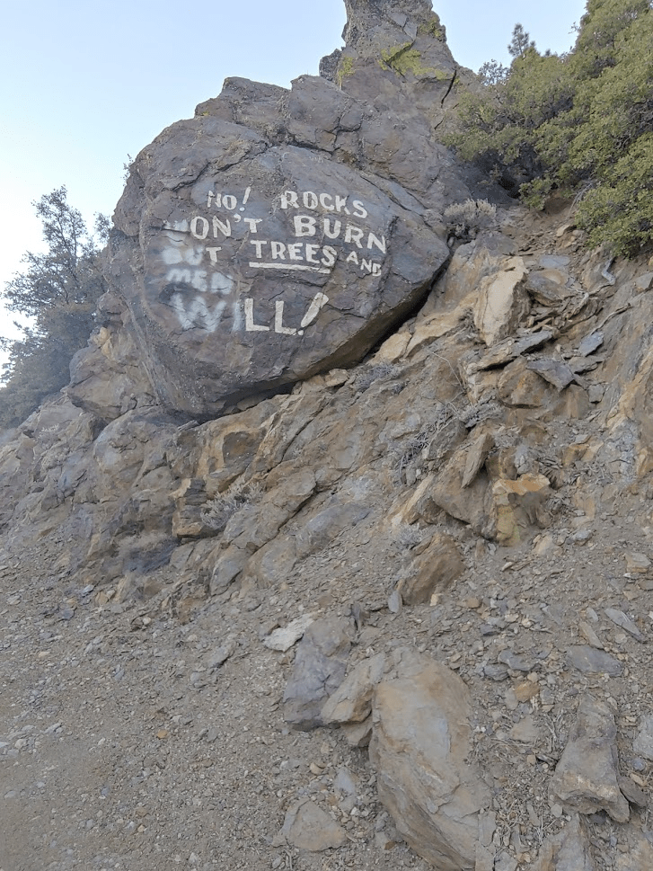
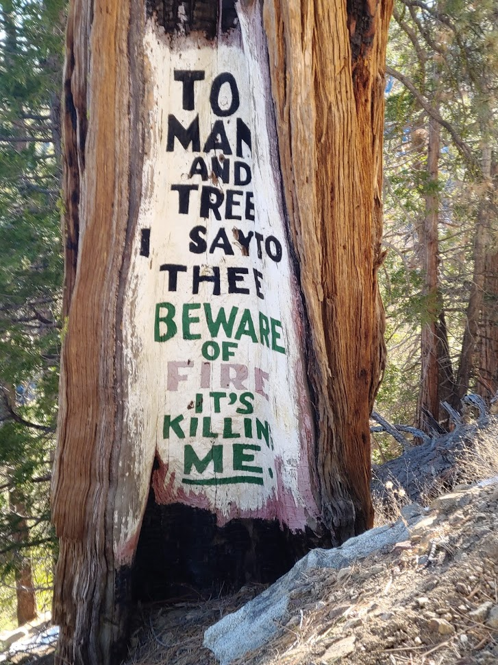
I passed a few weird signs warning against forest fires. I have no idea who put these there or why they did it. I’m not a fan

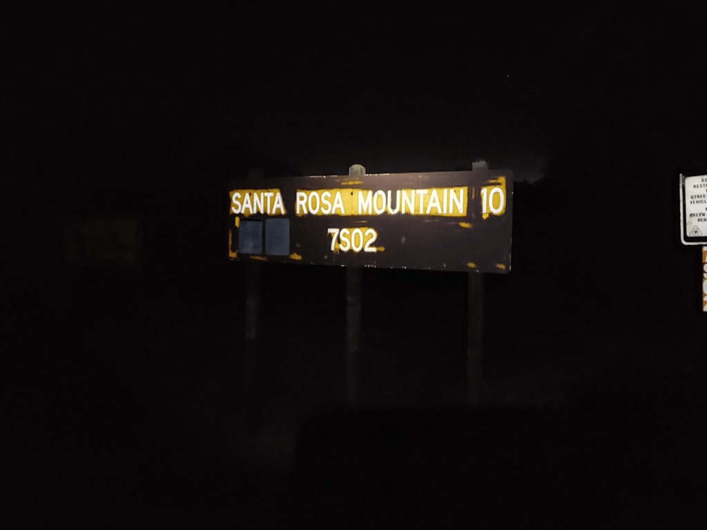
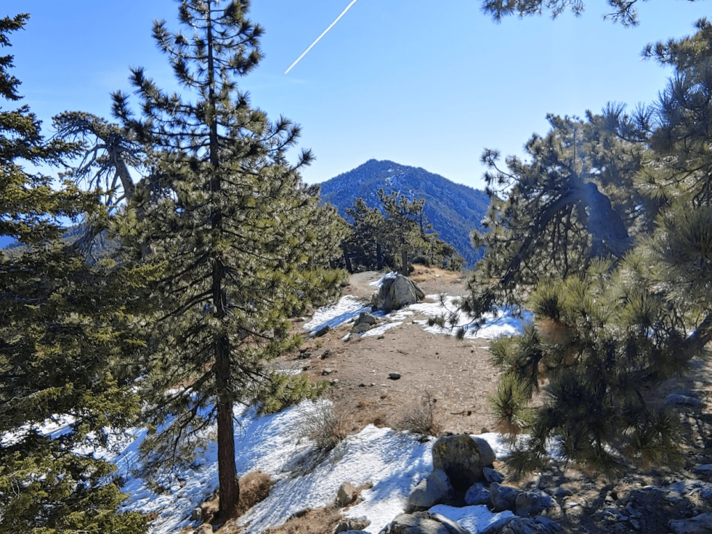
At around 10 miles, I reached the turnoff for Santa Rosa Mountain.

The summit is just a few tenths of a mile from the turnoff. There are a few more campsites near the summit.

At 9:10am I was standing on the summit of Santa Rosa. I had been hiking for 10.32 miles.

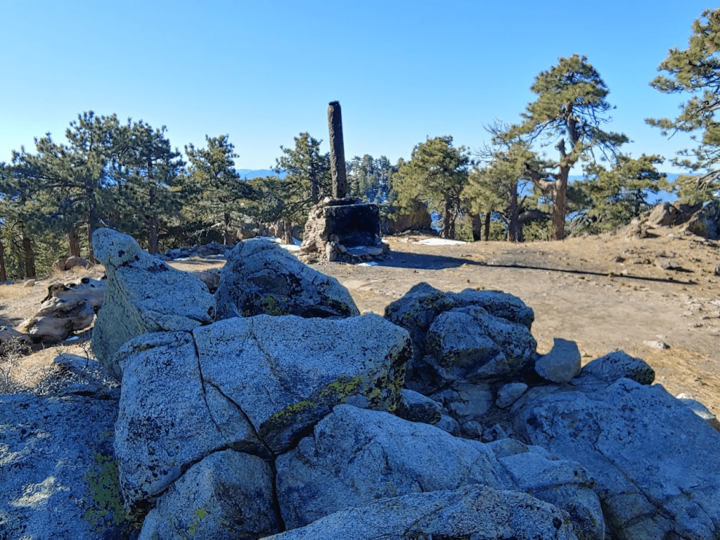
Santa Rosa Mountain only has 350 feet of prominence, so it is really just a minor subpeak of Toro. Santa Rosa is on the Sierra Club Hundred Peaks Section list and Andy Zdon’s Desert Peaks list. The views were mostly obscured by trees.
However, I did catch my first glimpse of Toro in the distance.
There are no USGS markers on this peak, and I was unable to locate a register. There is an old chimney near the top which apparently was part of an old log cabin that used to be up there.
I rested for 10 minutes or so and had some snacks. I was having serious thoughts about turning back around. I still had about 4 miles to the summit of Toro and the snow was slowing me down quite a bit. This wouldn’t normally concern me, but for a 28 mile hike this could definitely be a problem if it slowed me too much or made me consume too much energy. I decided to continue to Toro, at least for a little while to see how I felt. I returned to the main road and started the final push.
There’s a stretch of downhill immediately after the turnoff for Santa Rosa. The downhill was nice now but it would be painful on the return. I passed a few more campsites.

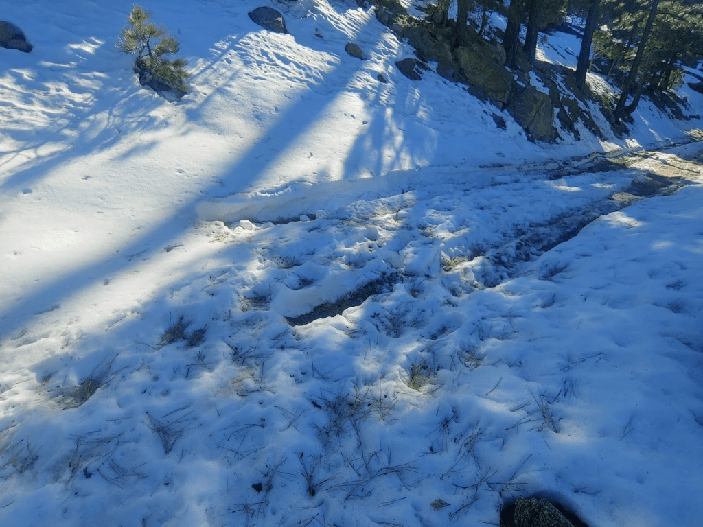
The snow was a foot deep in places. It was tough going and I was thinking hard about turning around. I was making decent enough progress though, so I decided to push on.
Eventually I came to a gate. I was probably about a mile and a half from the summit here.
At this point is the turnoff for the west summit of Toro. West Toro is the official summit that the Sierra Club uses for the Hundred Peaks Section list. Apparently, they used to use the actual summit but then moved it to the slightly lower west summit due to the Indian Reservation access issues. West Toro is about a 500 foot climb from the road and would be very difficult in the snow. I decided to continue to the main summit and would consider climbing the west summit on the descent if I had enough energy. I continued through the open gate. The true summit was looking close.

A half mile from the turnoff for West Toro, I scrambled up a pile of rocks which is called the North Summit of Toro on Peakbagger. This is not a peak in any sense of the word, but it is apparently the highest point within the boundary of the Santa Rosa Wilderness. It was just a short scramble from the road. The elevation here is 8000 feet.

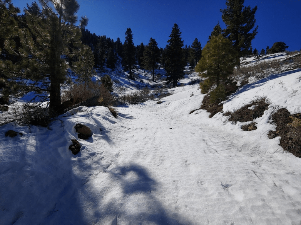
I continued on through the snow. After another difficult mile or so, I reached the gate indicating I was about to enter the Santa Rosa Indian Reservation. I ignored the No Trespassing sign and made the final steep climb to the summit.

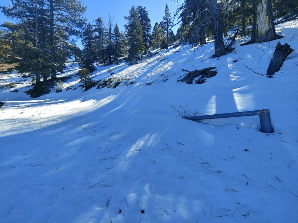
I passed a few facilities just below the summit.

One more gate to go through.

I passed the communication facilities which are owned by Verizon.
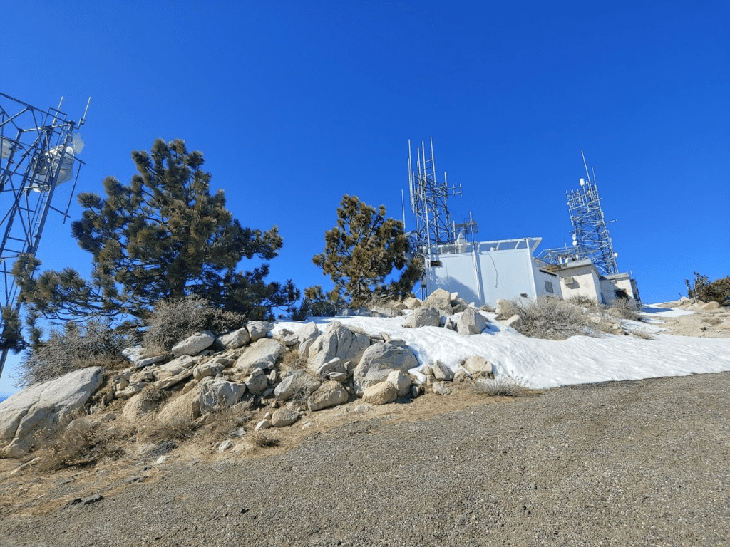
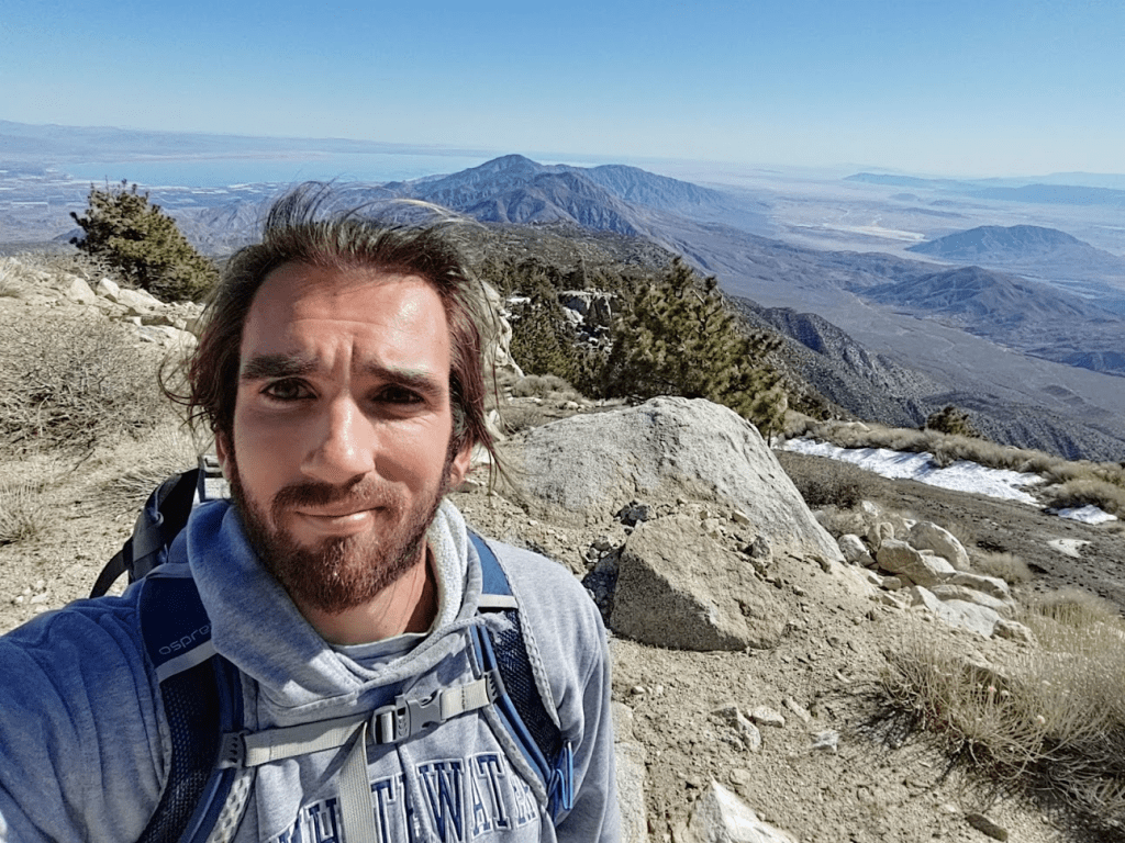
Finally made it! It was 11:39am and I had been hiking for 15.08 miles. That’s just under 6 hours of hiking so far!
There was no register on top (register is located on the HPS summit of West Toro). I only located Reference Marker Number 1.

The views were spectacular. It was as clear of a day as you could possibly ask for (I didn’t see a cloud all day). With almost 4000 feet of prominence, Toro commands impressive views in every direction. It’s higher neighbors, San Jacinto and San Gorgonio, were close to the northwest.

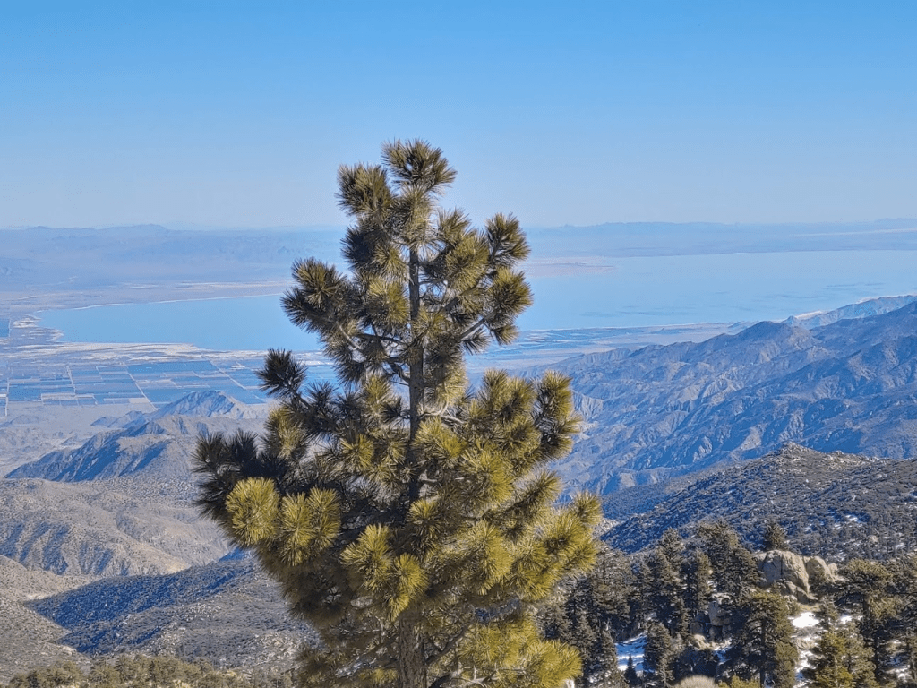
To the south was Anza Borrego Desert State Park, along with many of the high peaks of San Diego County including Cuyamaca Peak (right side of the picture below).

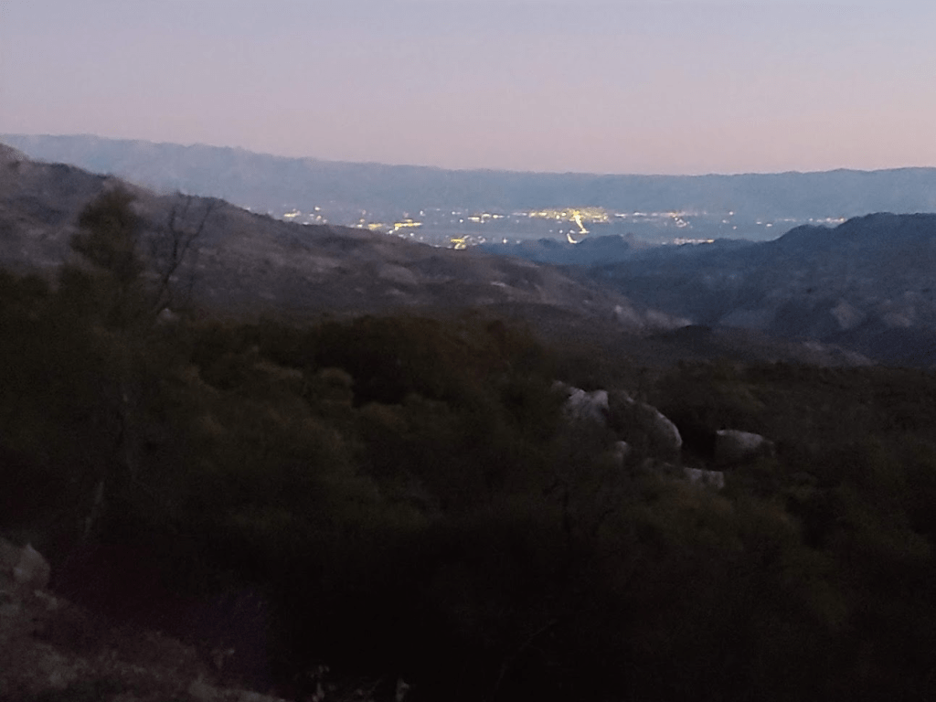
To the east were the desert cities of the Coachella Valley (Indio, Palm Desert, Palm Springs) as well as the mountains of Joshua Tree National Park.

The Salton Sea was close by to the southeast.
The rest of the Santa Rosa Mountains stretched away from Toro down to the lowlands in Anza Borrego. The high peak in the left center of the picture below is Rabbit Peak. The peak to its right is Villager Peak. The ridge to Villager’s right goes all the way to the desert floor around 800 feet (about 8000 feet lower than where I was standing).

I spent a good 45 minutes relaxing on the summit. I couldn’t believe how warm it was at nearly 9000 feet. The temperature must have been in the 50s. It had been a very warm and dry January, so it actually surprised me how much snow was on the mountain. We had a few winter storms in November and December, but I had figured a decent amount of the snow would have melted. Anyway, after refueling and rehydrating, I started the long descent down the mountain.

As expected, it was much easier going down. It took me about 25 minutes to cover the mile and a half to the North “Summit.” By 1pm I reached the turnoff for West Toro once again. I debated whether I should climb it or not, but in the end, I decided against it. Travelling cross country up a steep snow-covered slope would take a long time and would be dangerous. I still had about 12 miles to reach my car so I thought I would be better off conserving my energy. I was a little disappointed to miss the HPS summit, but that was always a secondary goal to reaching the true summit.
It was really starting to warm up now, so I took off my top layer.
By 2pm I had reached the turnoff for Santa Rosa once more. As expected, the uphill portion before the turnoff was pretty brutal. I was getting sick of hiking through the snow by this point.

I stopped every now and then to admire the desert views.

I was happy when I started to see my dry patches of road.

I reached the point where there was tire tracks through the snow. This made things a lot easier.
At around the 20 mile mark, the road was pretty much clear the rest of the way besides small patches here and there. I still had about 2 ½ hours of hiking.

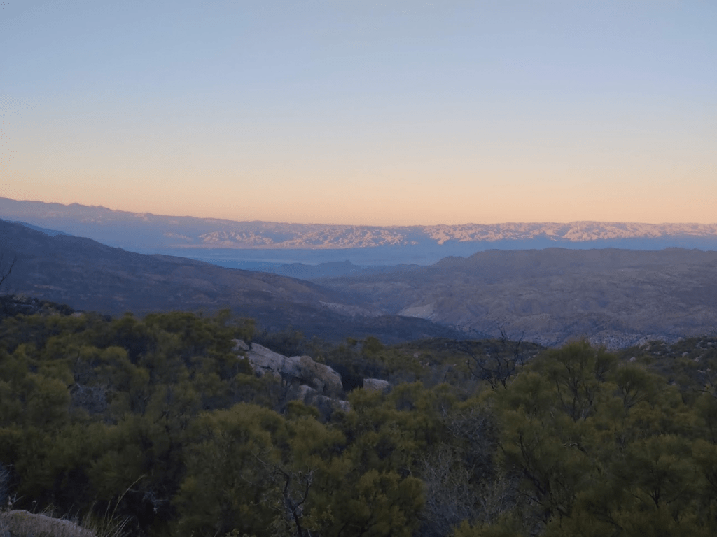
The sun started to get low in the sky as I neared the end of my hike.
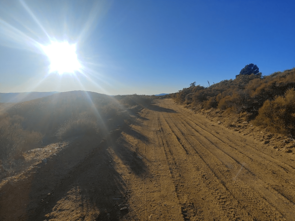
As I got near my car, the surrounding desert started to look very pretty in the fading daylight.
I finally reached my car again around 5:30. What a day! I had been out from sunrise to sunset and had covered over a marathon’s worth of miles. I was extremely exhausted. My totals for the day were 28.7 miles, 5184 feet elevation gain, and 11:48:37 total time.


Always wanted to do Toro Peak during my San Diego years, never did. While hiking the Lagunas and Palomar, always admired Toro in the distance.
Great photos and narration.
Thanks,
Chris
LikeLike