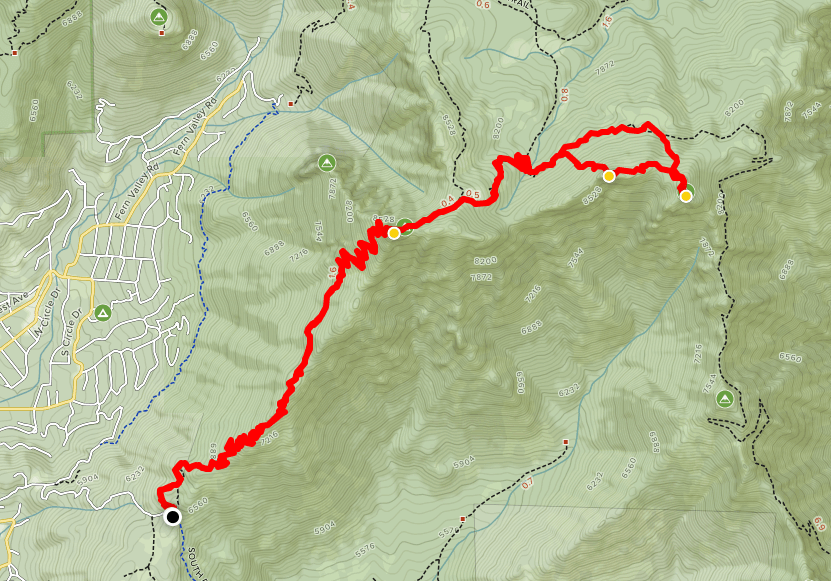
I started my day at 4:30am and quickly got ready, made coffee, and hit the road by 5. I arrived at the ranger station in Idyllwild around 7 and got my wilderness permit. A permit is required for any hiking in the San Jacinto wilderness. Day permits are self-issued. The road to the South Ridge Trailhead was pretty rough for the last mile. I was very happy to be driving my new Subaru Forester. I definitely wouldn’t have made it in my old Honda Accord! I found 3 other cars (all 4x4s) at the trailhead which was about 6400 feet above sea level. My goal for the day would be 3 peaks, two of which are on the Sierra Club Los Angeles Chapter Hundred Peaks List. Tahquitz and Red Tahquitz would be my 57th and 58th peaks on the list. I also intended to climb a 3rd peak in between the other two – Grey Tahquitz.

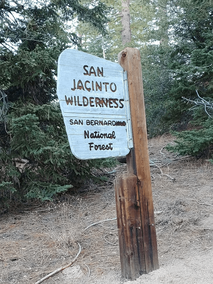
By 7:20 I was hiking and I quickly passed the sign indicating I was now in the San Jacinto Wilderness. The wilderness permit is required for all hiking past this point
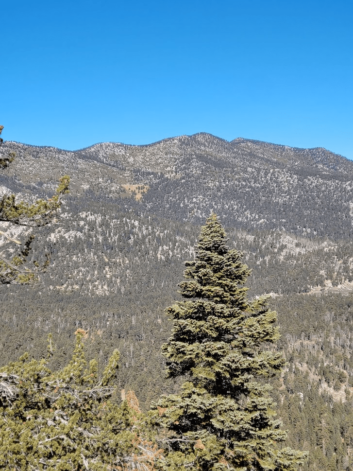
It was a rather chilly November morning, so I kept my jacket on as I quickly gained elevation. There wasn’t a cloud in the sky and no morning fog, so the views were expansive as I climbed higher and higher.
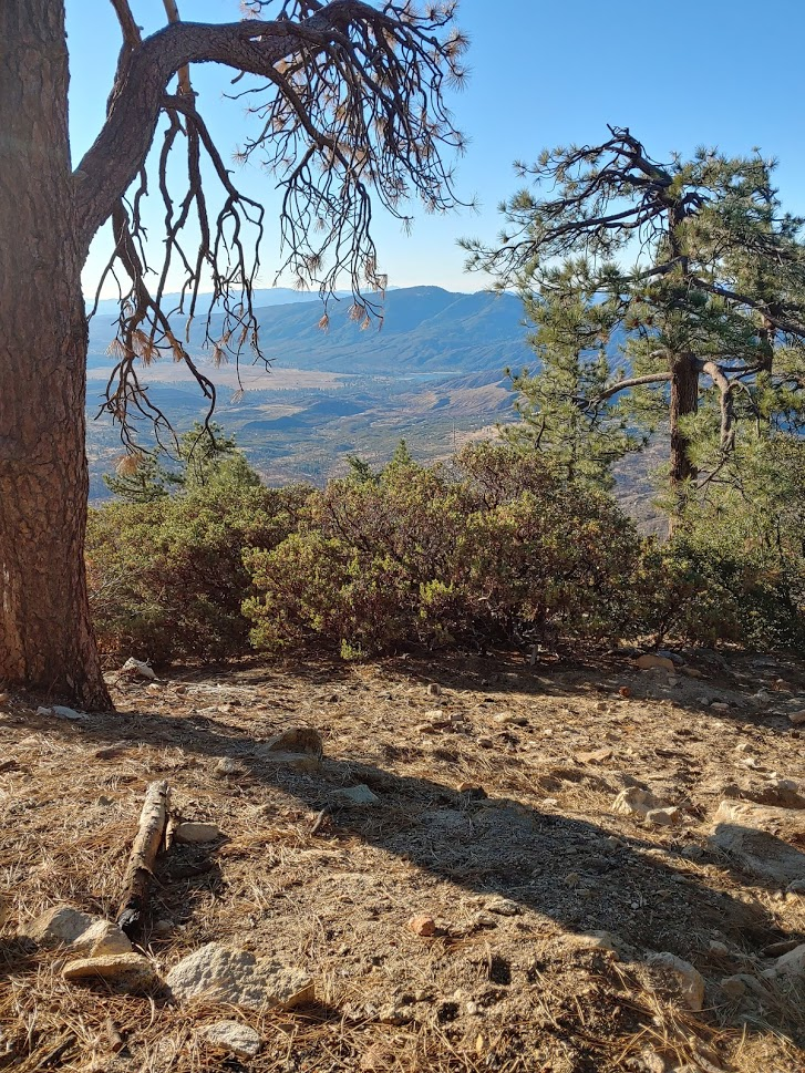
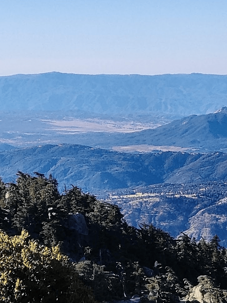
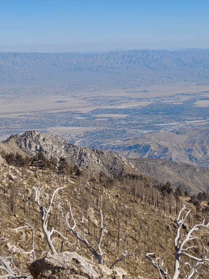
I made a point to stop many times on my way up to look behind me and admire the view. To the southwest, I could make out Thomas Mountain and Cahuilla Mountain, as well as Palomar Mountain behind the other two. I could even make out the small white circle of the Palomar Observatory (see picture below)! I had toured the Observatory with my girlfriend Alexia the previous spring.
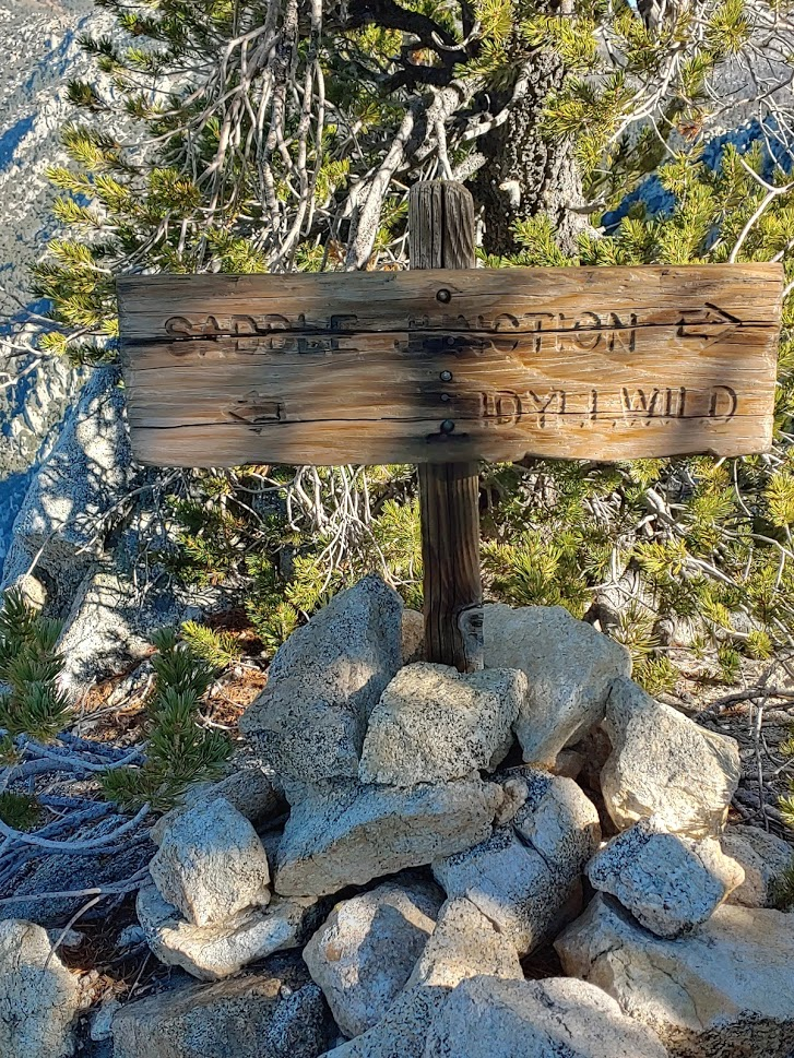
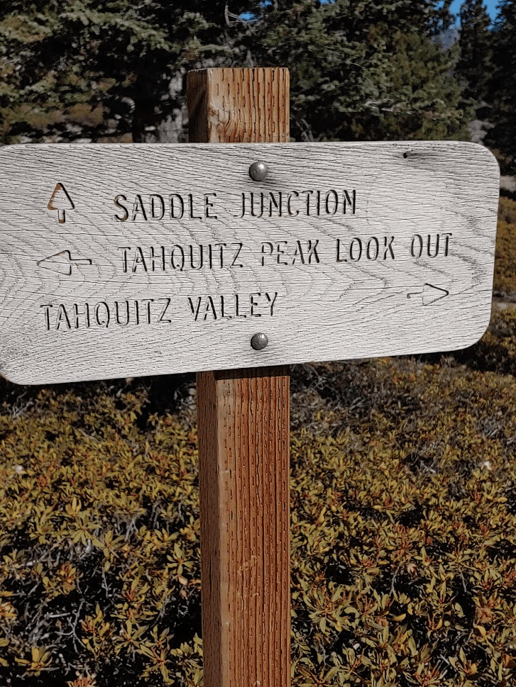
After about 3.5 miles, I made it to the first junction of the day.
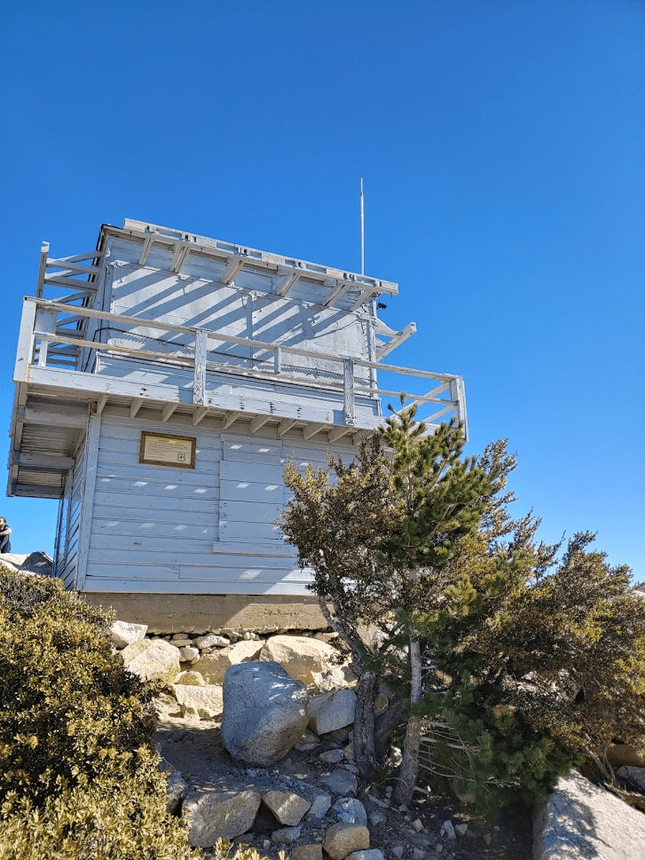
Here I turned right and made it up the very short distance to the summit of Tahquitz Peak where I got my first look at the fire lookout on top. At 8846 feet, this would be the high point of the day for me. It was 8:50am when I arrived. It was about 3.5 miles and 2400 feet gained in 1.5 hours since the trailhead.
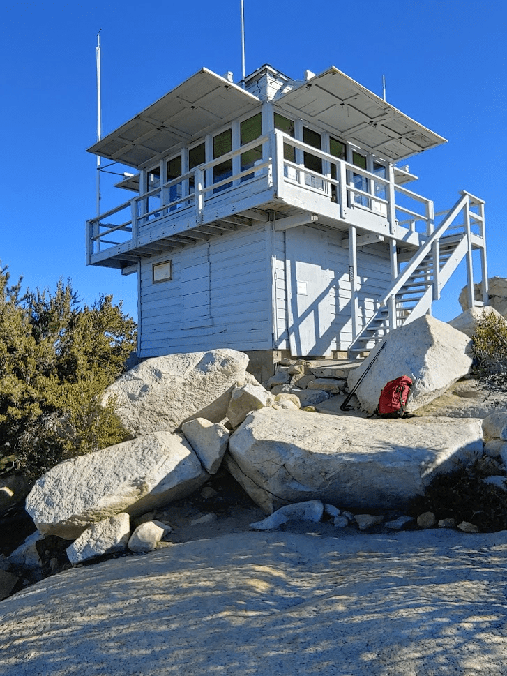
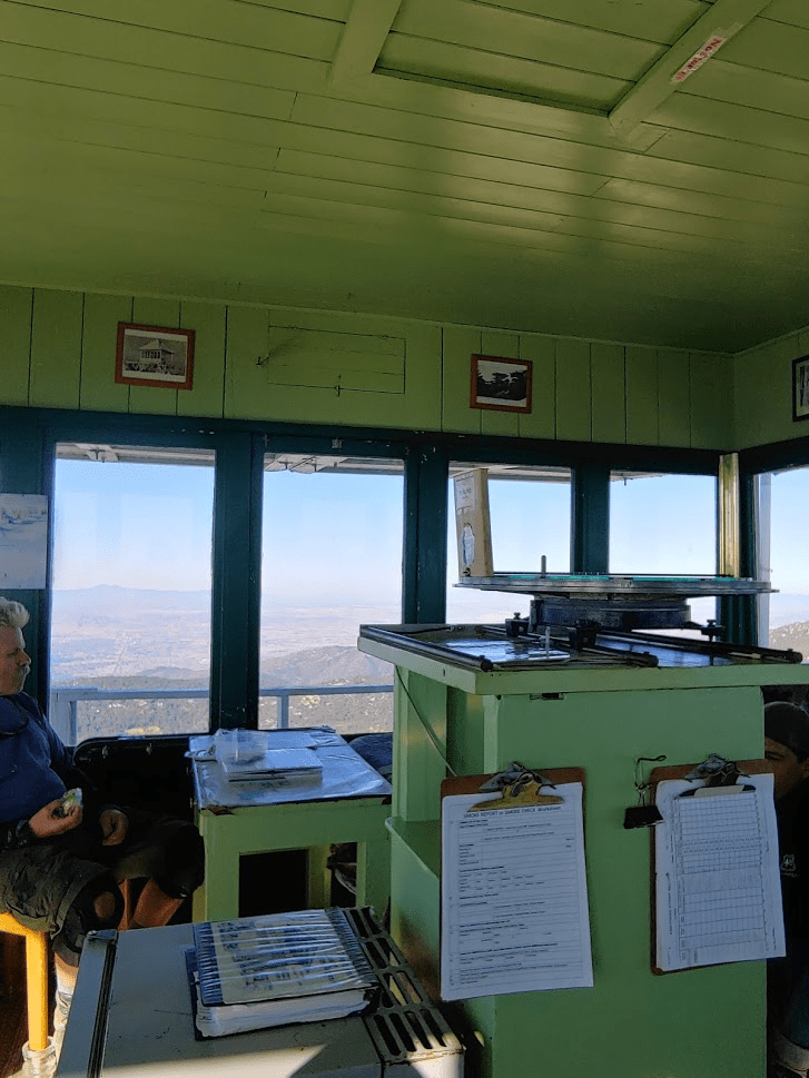
I went inside the tower and found 5 forest service volunteers hanging out. I chatted with them for a few minutes and found out that they would be closing the lookout for the season since snow was predicted to fall in the next few days.
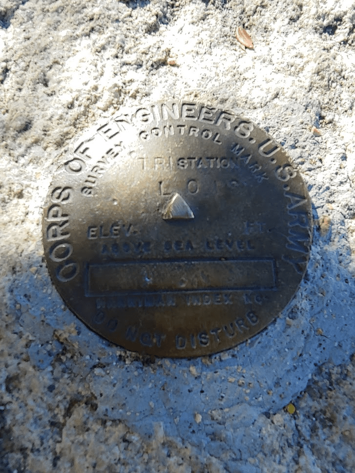
I then spent some time on the summit, eating a few granola bars and an apple. It took me a minute to find the USGS benchmark marked LOIS, which was near the tower. I did not find a summit register.
I spent some time admiring the views before continuing. Especially prominent were the Santa Ana mountains to the west. The two highest bumps in the middle are Santiago Peak (left) and Modjeska Peak (right). I climbed both last spring. At 5689 feet, Santiago Peak is the highest point in Orange County.
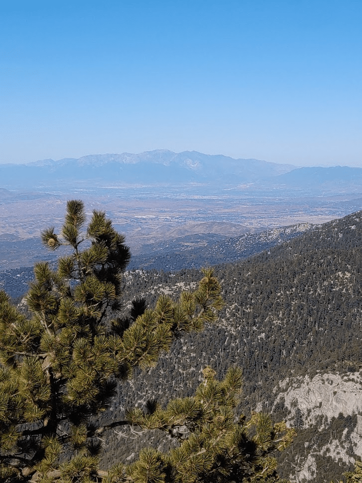
A little more distant but equally (if not more so) impressive was Mount Baldy to the northwest. At 10,046 feet, Mount Baldy is the highest point in Los Angeles County. I climbed Mount Baldy in December 2017.
I started to make my way northeast towards my other 2 destinations for the day – the slightly lower Grey Tahquitz and Red Tahquitz. I passed the junction where hikers coming up the Devil’s Slide trail from Humber Park would be coming from. This is the most popular route up Tahquitz, and is subject to a daily quota during summer weekends. I continued straight on the Tahquitz Valley trail.
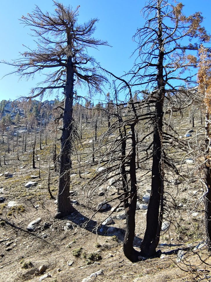
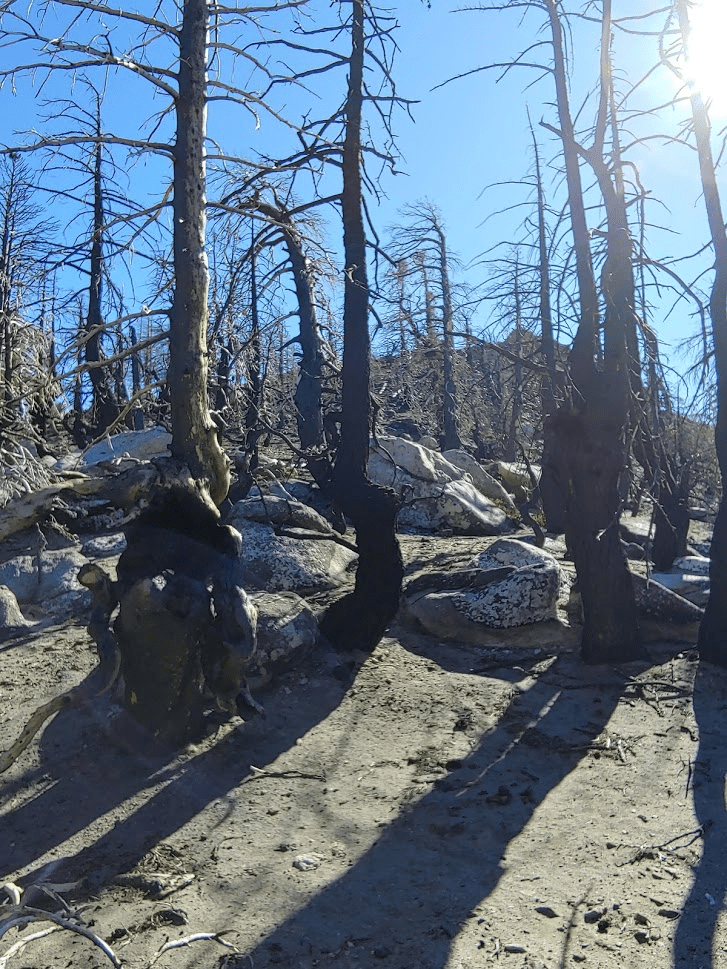
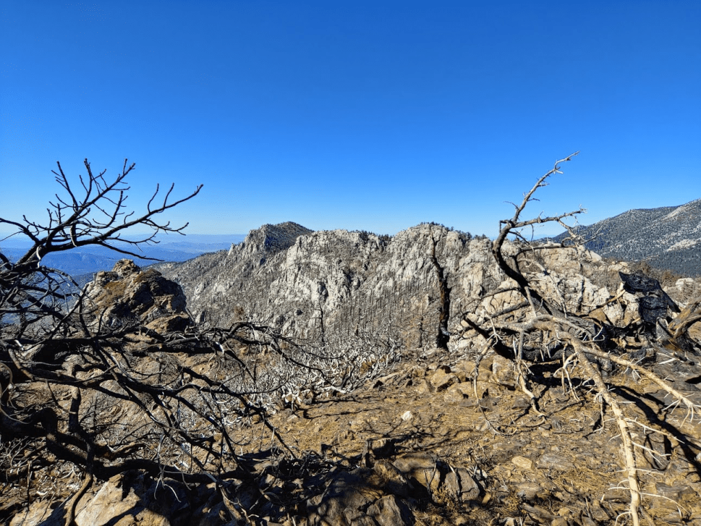
As I continued to hike, damage from recent fires became apparent.
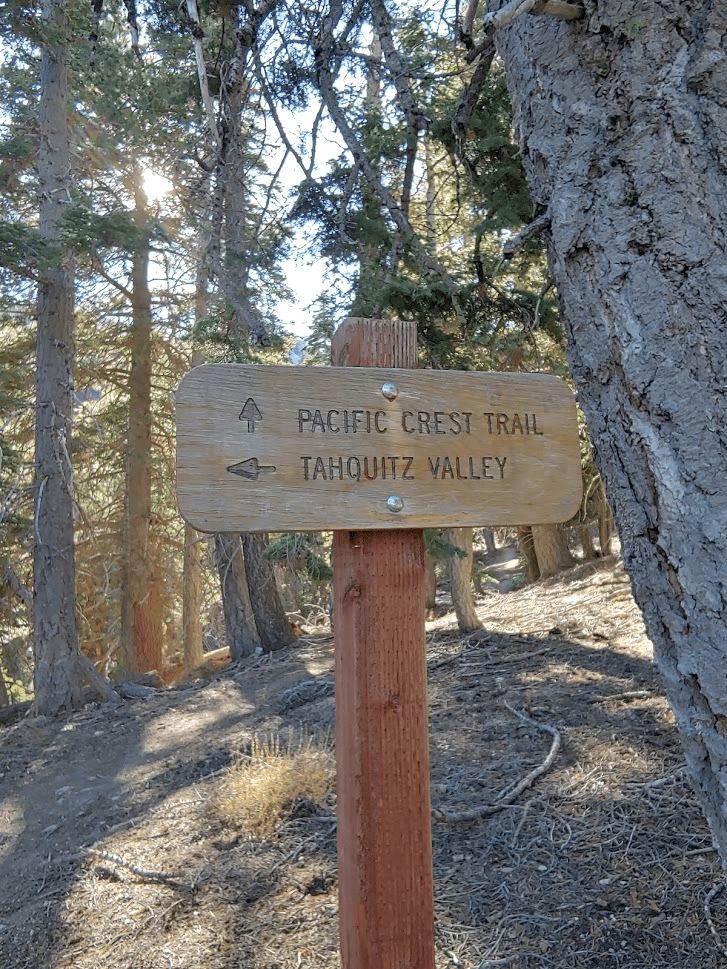
I passed yet another junction and continued on the Pacific Crest Trail.
Not long after passing this junction, I left the trail and started to head east up the slope to Grey Tahquitz (or Middle Tahquitz as it is sometimes referred to).
This was very slow going, as the grade was very steep. I eventually had to put away my poles and use my hands as I got near the top. I saw a few deer (I think 3), but I could not get close enough for a picture. At around 10:10 am, I reached the summit of Grey Tahquitz (8792 feet).
The views once more were impressive. Here I had excellent perspective of San Jacinto Peak just a few miles north, which is the high point of the range (and Riverside County) at 10,833 feet. I climbed San Jacinto in June 2018.
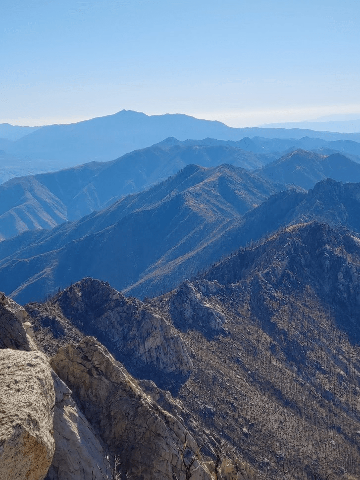
I also had excellent views to the south down the desert divide all the way to Toro Peak in the distance.
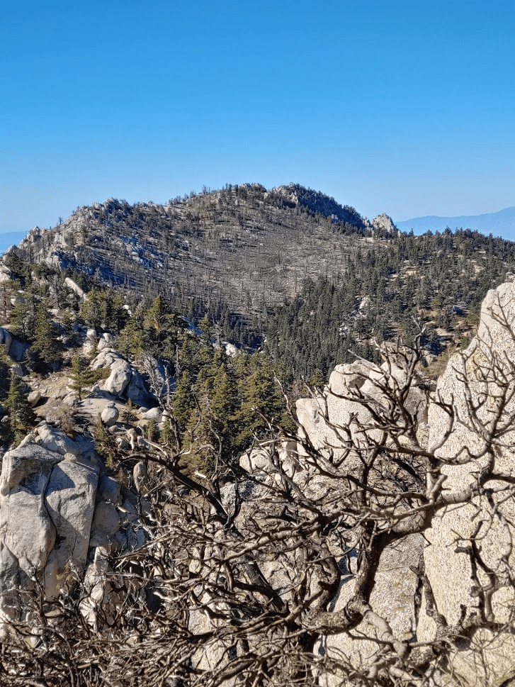
I signed the summit register and then started towards my final destination for the day – Red Tahquitz. The area between these 2 peaks was heavily damaged by fire. It was a fairly short distance between these 2 peaks but entirely off trail so the going was a bit slow.
At 10:35, I reached the summit of Red Tahquitz (8720 feet).
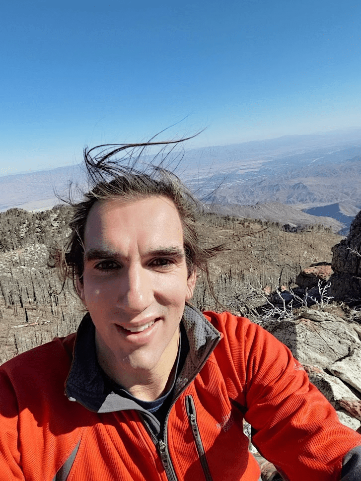
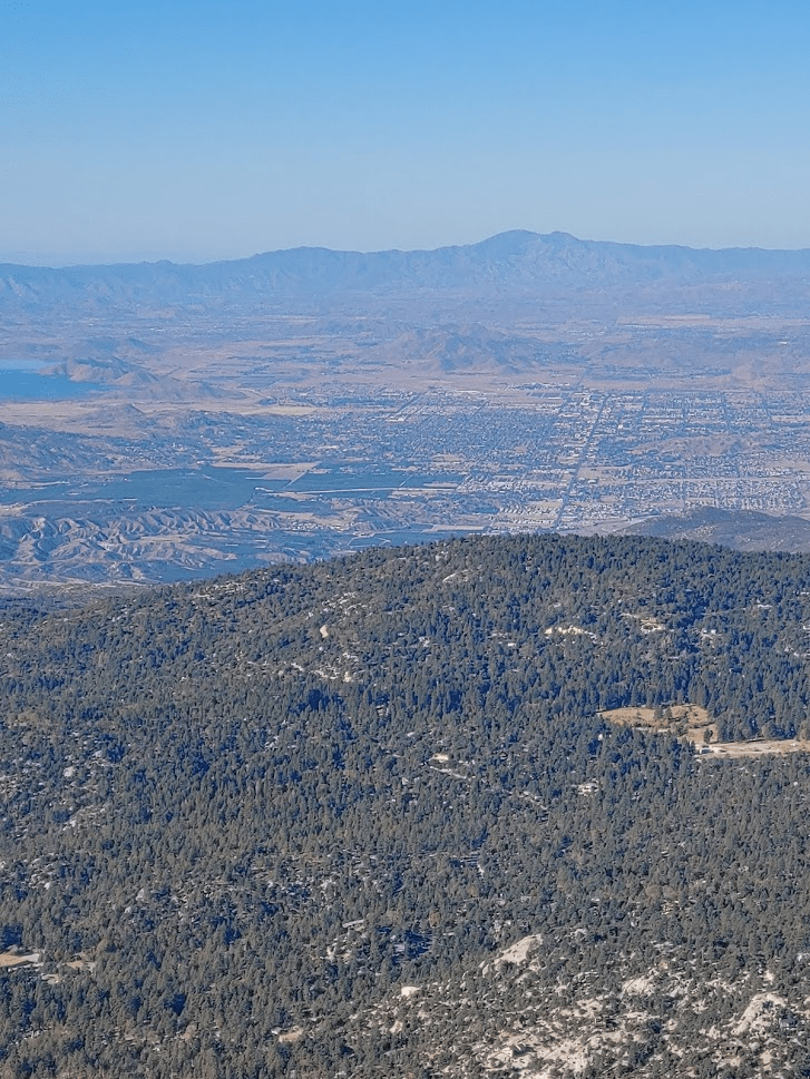
For the first time of the day, I had excellent views of the desert to the east. I could see Palms Springs and other desert cities, as well as the mountains of Joshua Tree National Park behind them.
I also had incredible views of the 2 peaks I had just visited earlier in the day. Tahquitz is on the left and Grey Tahquitz is on the right.
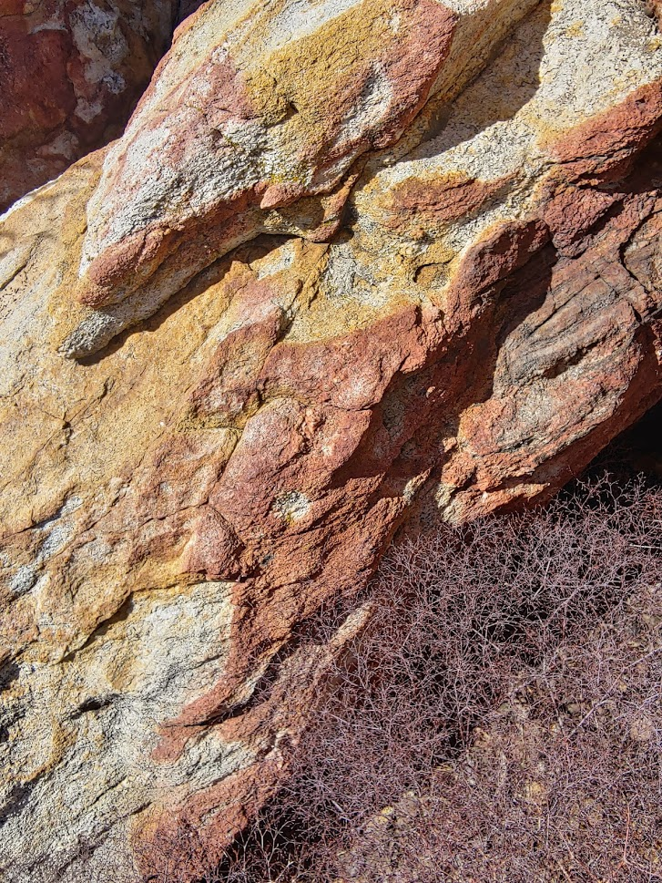
I also noticed a lot of reddish color on the rocks in the summit area which give Red Tahquitz its name.
I took my longest break of the day here since this was the half way point of the day. I had another apple and a few more granola bars. I found the summit register among some rocks and signed it. After about a half hour I began my descent. It took me about 10 minutes to make my way down the slope and find the trail again. Once on the trail, I made quick time heading back the way I came. It was getting warm now and the wind was dying down so I took off my jacket and converted my pants into shorts. I passed the junctions I went through before and by 12:10 I had reached the fire lookout on Tahquitz once more. It appeared that in the 3 hours since I had been there the volunteers had finished closing the tower for the season. It was now boarded up:
I took another short break here before finally heading down. As I got near the trailhead, I looked back up and could now recognize the distinct red color atop Red Tahquitz.

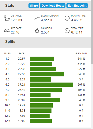
I reached my car again at about 1:30. I stopped in Temecula for dinner and was home around 4. My final stats for the day were 12.6 miles, 3855 feet elevation gain, 6:12:14 total time