It was the first day of spring and Governor Newsom had just given the shelter-in-place order for the state of California amidst the COVID-19 Coronavirus outbreak, meaning that we weren’t allowed to leave our homes except for essential errands or activities. Luckily, outdoor exercise and recreation is one of the exceptions, so I decided it would be a great idea to hit a nearby trail and bag some peaks. I decided on climbing two peaks on the Sierra Club Lower Peaks Committee list, Sugarloaf (3227 feet) and Old Sugarloaf (3326 feet). These 2 peaks are in the Santa Ana Mountains, a relatively low mountain range that divides the suburban sprawls of Orange County and Riverside County. Hikers generally climb the 2 peaks together, due to them being about a mile apart. The San Juan trail, a popular mountain biking trail, runs very near both peaks and they can be accessed via short, steep use trails from the main trail. You can pick up the San Juan trail from either the east or west. The route from the east is shorter but actually starts at a higher elevation than both peaks. I chose instead to hike the longer, steeper route from the west, picking up the San Juan trail at 763 feet above sea level. Accompanying me on this hike would be Stella, the world’s greatest dog. We woke up a little before 5am and hit the road at 5:15. We took 5 North up to Orange County and then Highway 74 (Ortega Highway) east into the mountains. I turned left (north) onto Hot Springs Canyon Road near a USFS fire station and proceeded for about a mile before parking in a large dirt parking area. The road was a little rough and was flooded from all the recent rain, but I was able to make it around the large puddles. I was a little surprised to see 5-6 other cars already there so early. We started hiking at 6:52am.

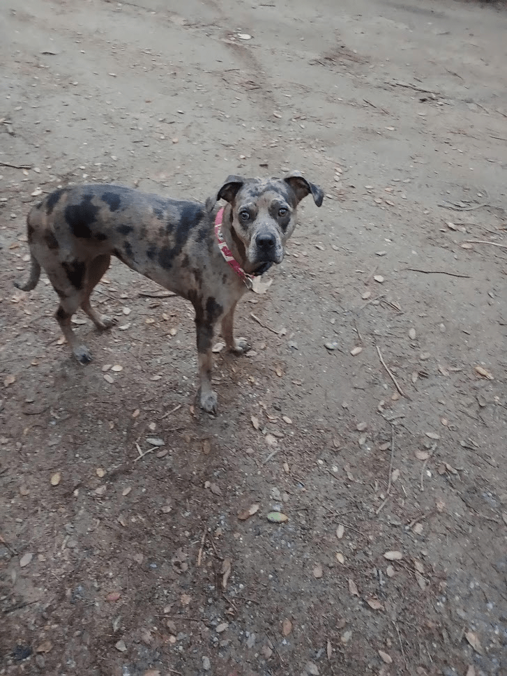
It had been a few months since Stella and I had hiked together. Our last hike was when we climbed Morton and Cram Peaks in the San Bernardino Mountains in December. She was very excited to get started!
We picked up the San Juan trail towards the east end of the parking area.

The single track trail was nice and wide, but a little eroded from heavy mountain bike use. It was cloudy and little chilly, but a light jacket was all I needed.
The trail starts gaining elevation right away as it switch backs up a slope.

Mountain bikers already started to pass us from behind. We had a nice view of the canyons below.
At the 2 mile mark, we decided to make a quick detour to Peak 2040 which I found listed on Peakbagger near the San Juan trail. It would be about 0.5 miles and 350 feet of elevation gain from the main trail on a narrow, brushy use trail.

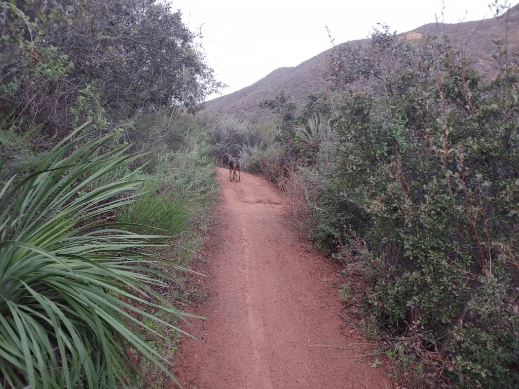
This is approaching Peak 2040:

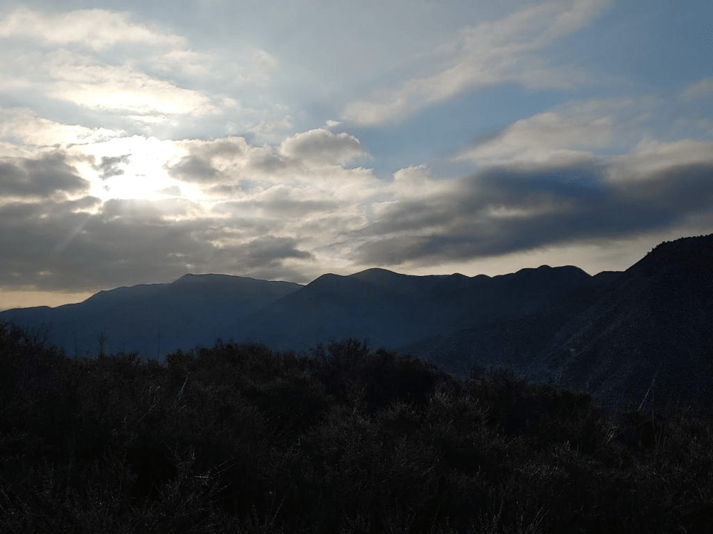
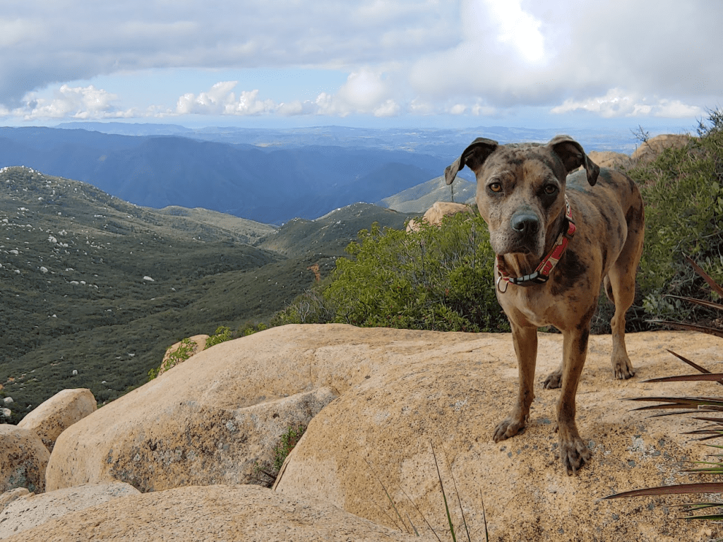
We reached the summit of Peak 2040 at 7:45am. We were 2.54 miles into the hike so far. We had a nice view west towards Orange County and the Pacific Ocean. We could even see Catalina Island.

I could see the 2 Sugarloafs to the north, but their summits were hidden by clouds, so I feared we would have no views on those peaks.

Stella was doing great so far!
We took about a 5 minute break and the proceeded back down the 0.5 mile use trail back to the San Juan trail. The sun was beginning to peak out.
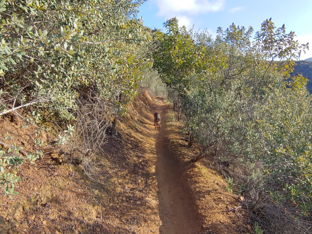
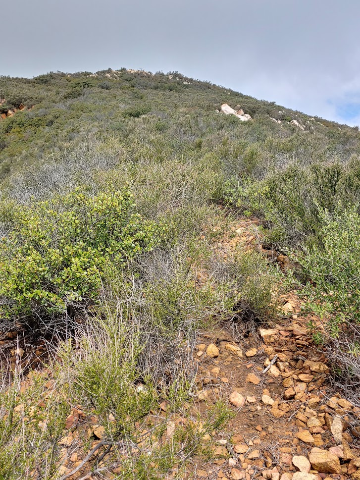
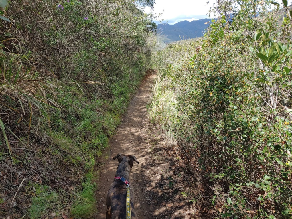
We had a few miles to go before reaching the turnoffs for the Sugarloafs. In the below picture you can see the trail switch backing up towards the peaks.
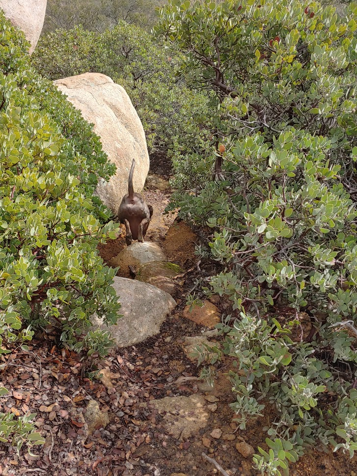
Stella led the way!
The mountain bike traffic was starting to pick up. It really wasn’t safe to have her off leash anymore, so I tied the leash to my backpack as we continued on the trail.

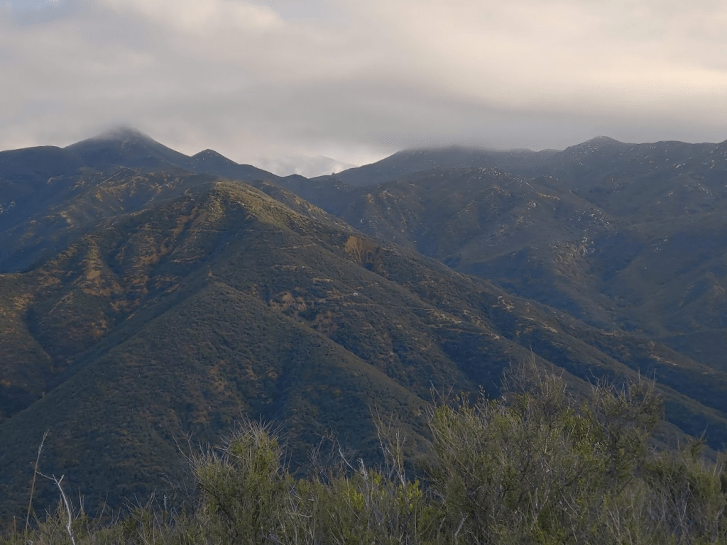
We got closer to the Sugarloafs as the weather began to get nicer. Their summits were no longer hidden behind clouds.

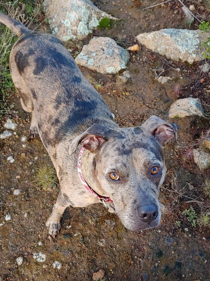
We passed the turnoff for Old Sugarloaf, but I wanted to do Sugarloaf first, so we continued on the trail. It was a little less than a mile to the Sugarloaf turnoff, which we found with no problem. A short use trail leads to the top of Sugarloaf. I let Stella off the leash, and she led the way once more.

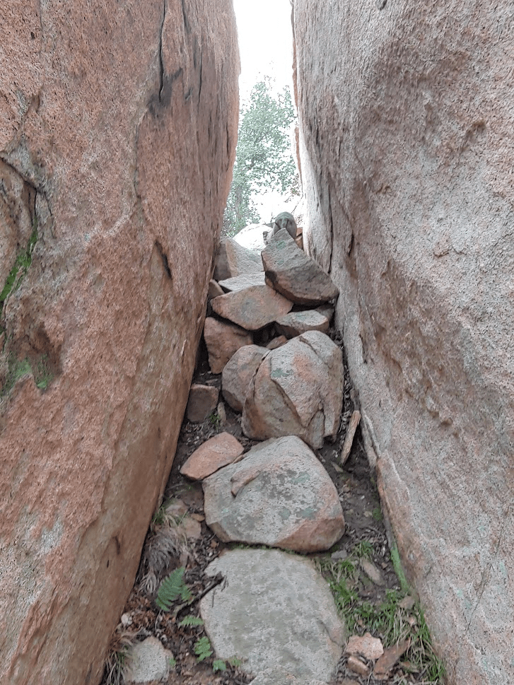
It was about a 200 feet gain to the summit from the San Juan trail. The final push was a narrow rocky climb between 2 large boulders.
We reached the summit at 9:44am. We had been hiking for 7.71 miles so far.
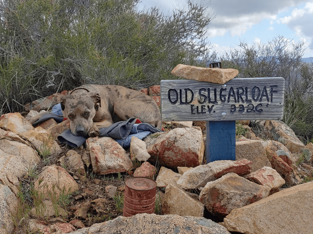
We found 2 signs and 3 register jars, but there was only a dry, intact register inside one of them.


There were some cool rock formations on top. The summit block, pictured below on the left, is a class 5 climb.

It was still pretty cloudy, but the views were pretty good.
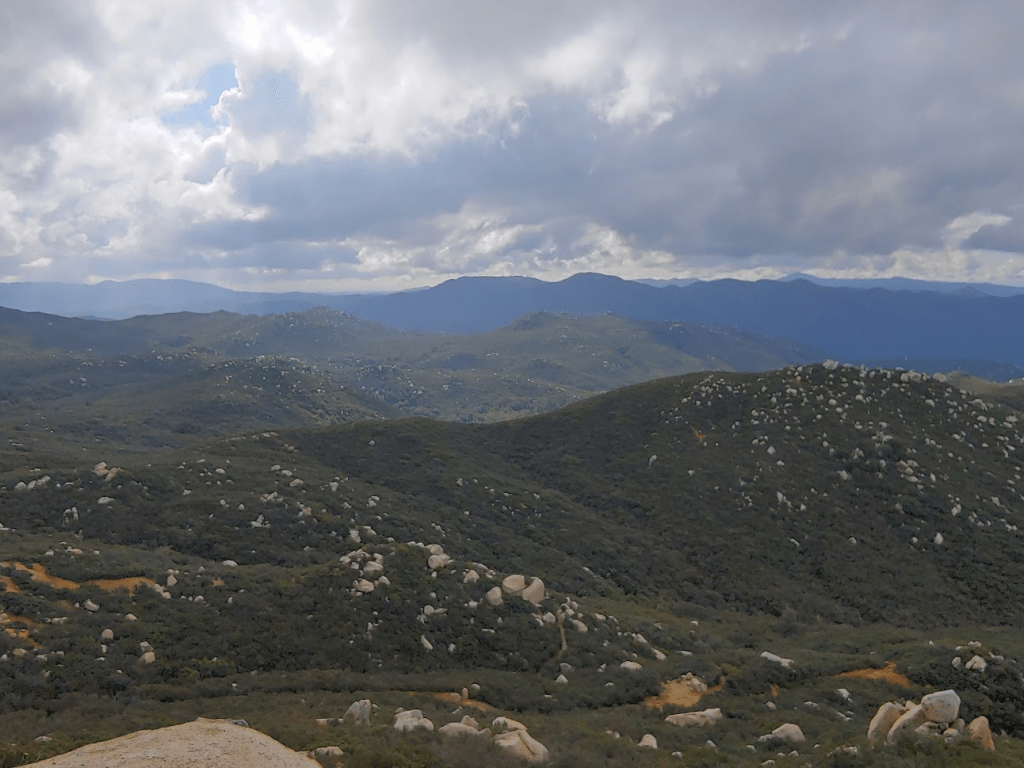
I had a good view of the slightly higher Old Sugarloaf about a mile to the west.
After a 20 minute break, we proceeded back down the use trail to the main trail.
Once back on the San Juan Trail, we proceeded back in the direction we came. It was 0.9 mile to the turnoff for Old Sugarloaf. We found the use trail marked by 2 small rock cairns.

This would be a much tougher climb than Sugarloaf. The use trail gains about 600 feet in 0.35 mile to the summit.
We reached the summit at 10:41am!

We had already been hiking for 9.14 miles. I had originally expected the hike to be in the 12-13 mile range, but I now realized it would be about 15 since I estimated we had about 6 miles to go back to the car. The weather was also much nicer than I had been expecting, and the sun was now out and beating down on us. Normally I would be happy about that, but the hot sun makes it tough for Stella. I made a little bed out of my jackets and let her take a little break on the summit.
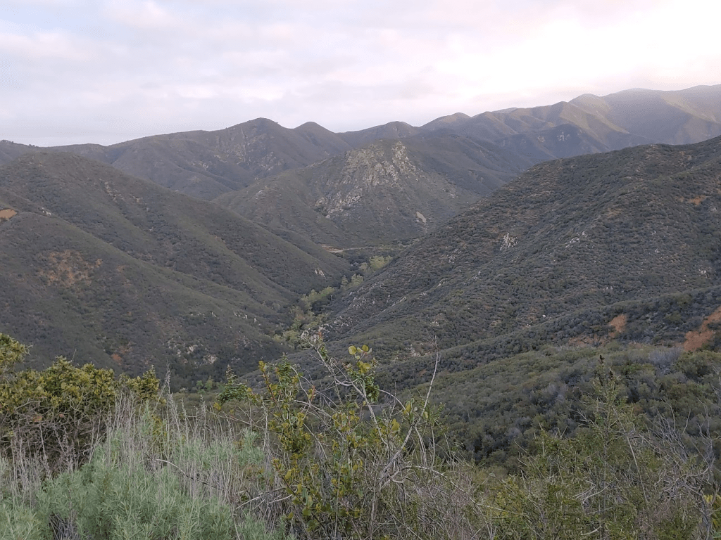
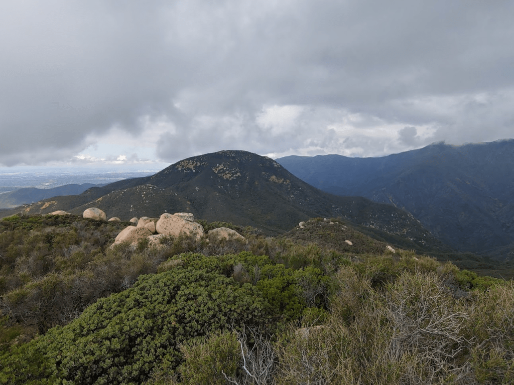
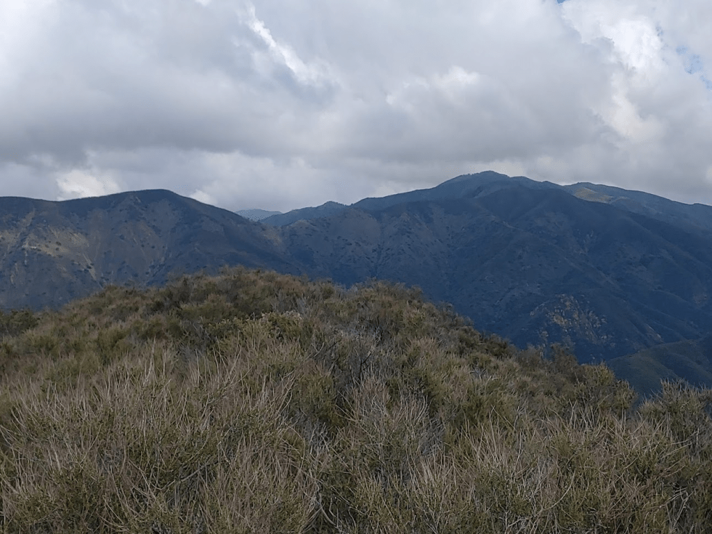
The views were similar to before. I could see Sugarloaf a short distance to the east, as well as the San Juan trail wrapping around the south side of it.

I could see 4510 foot Los Pinos Peak a few miles to the north. I climbed Los Pinos on January 18th, taking the difficult Bell Ridge route from Rancho Santa Margarita.
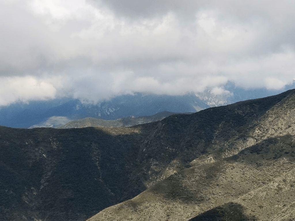
The highest peaks in the range, Santiago and Modjeska Peaks, were hidden by clouds.
We rested for 30 minutes and then started back down.

It took us only 9 minutes to reach the San Juan trail again.

We still had 5.5 miles to go, but no more peaks or other side trips, so we made quick time. At about the 12 mile mark, I could tell Stella was getting really tired, and the sun was definitely getting to her. She was able to rally though, and definitely caught her 2nd wind the last 2 miles.
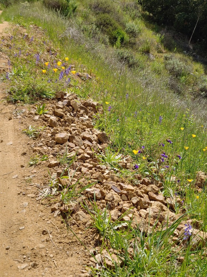
We really had to be careful since there were now tons of mountain bikers out. We also passed a few groups of hikers and joggers. This wasn’t my usual wilderness experience that I typically get when I hike in the desert. We were treated to a small wildflower display near the car.
We made it back to the car a little after 1pm. Stella was very happy to finally be done. She jumped right into the bed in the back of my car.

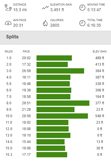
We clocked 15.3 miles, 3491 feet elevation gain, and 6:16:35 total time. Not bad for a little dog!

Whoa! Thanks TJ! This the best hiking blog I’ve came across. I’m loving all the pictures and detailed descriptions. It feels like I went on the hike too.
LikeLiked by 1 person
Thanks TJ!! I am in complete agreement with David. Will definitely seek out your other postings. 😎
LikeLike