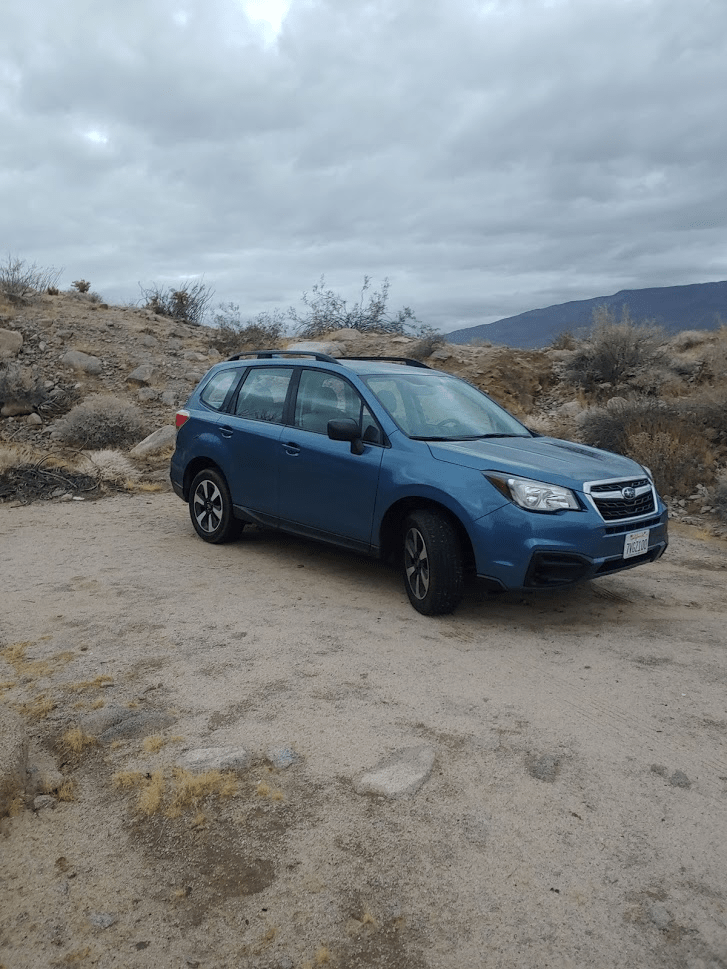
As usual I was up very early and out the door at 4:45am. Today my goal would be Stage Benchmark, a peak on the San Diego County 100 peaks list in Anza Borrego Desert State Park. I was very excited to be returning to the desert as it would be my first trip out there of the season. I was also very excited to continue my work on completing the San Diego peaks list. I had been stuck on 73 (out of 100) for quite some time. My previous climb had been Peak 3339 in McCain Valley on June 21st. It was quite a long drive to get out there. I took Interstate 8 up and over the mountains until it drops dramatically down into the desert where I exited at the small desert community of Ocotillo. I then took County Highway S-2 for many miles until a small dirt parking area where I would begin my hike. Hwy S-2 seems to go by many different names depending on which section you are on – Imperial Highway, Sweeney Pass Road, and the Great Southern Overland Stage Route of 1849. The last name is referencing an old mail route that carried passengers in stages from east. This is no doubt where Stage Benchmark gets its name from.
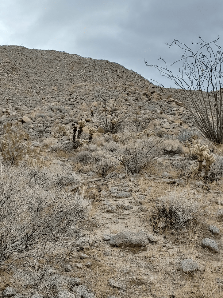
I started hiking at 6:33am. I climbed out of the little parking area immediately could see the peak that Stage Benchmark was on (on the left).
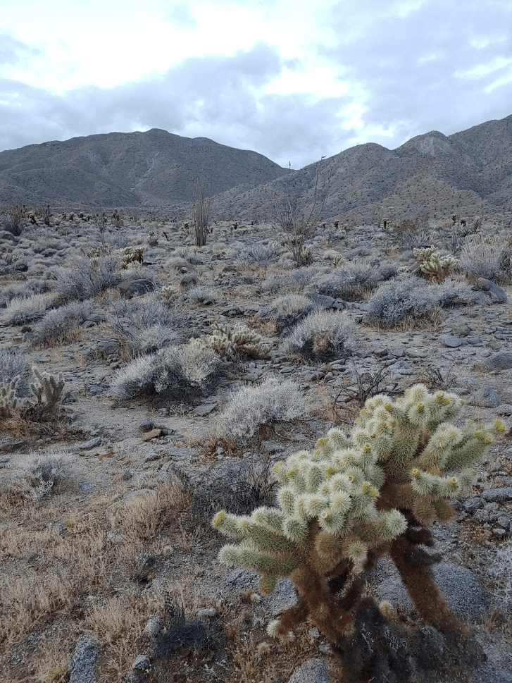
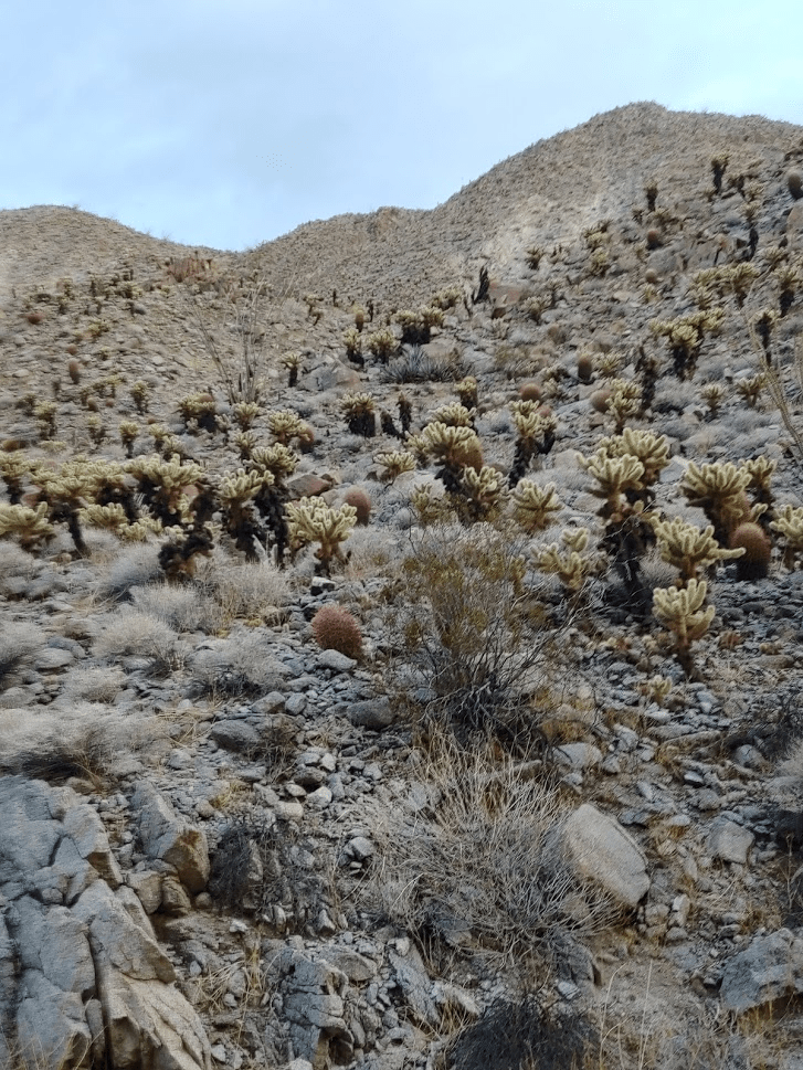
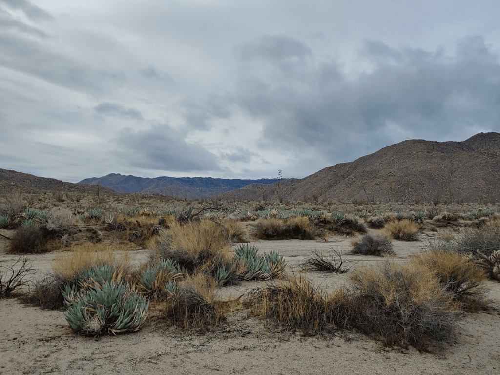
Stage Benchmark is a peak with over 1000 feet of prominence in a small mountain range known as the Tierra Blanca Mountains. This range is basically made up of foothills of the higher Laguna Mountains to the west. I also intended to climb a slightly lower neighboring peak which is unofficially referred to as Moonlight Peak. The only place I actually saw this peak called Moonlight Peak is in the register on the peak itself (Peakbagger just refers to it as Peak 2620). The route begins by crossing about a half mile of open desert. It was cloudy and the temperature was in the 50s, but there was no wind whatsoever, so I was comfortable in just my jacket. There were large amounts of teddy bear cholla and dodging these unfriendly cacti would be become a theme for the day.

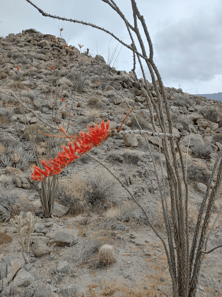
The other plants I saw were the usual ones you encounter in the low desert – barrel cacti, agave, beavertail, ocotillo, etc. Ocotillo normally look dead throughout the year, but after a rain storm they will sprout little leaves and have red blooms on the end.
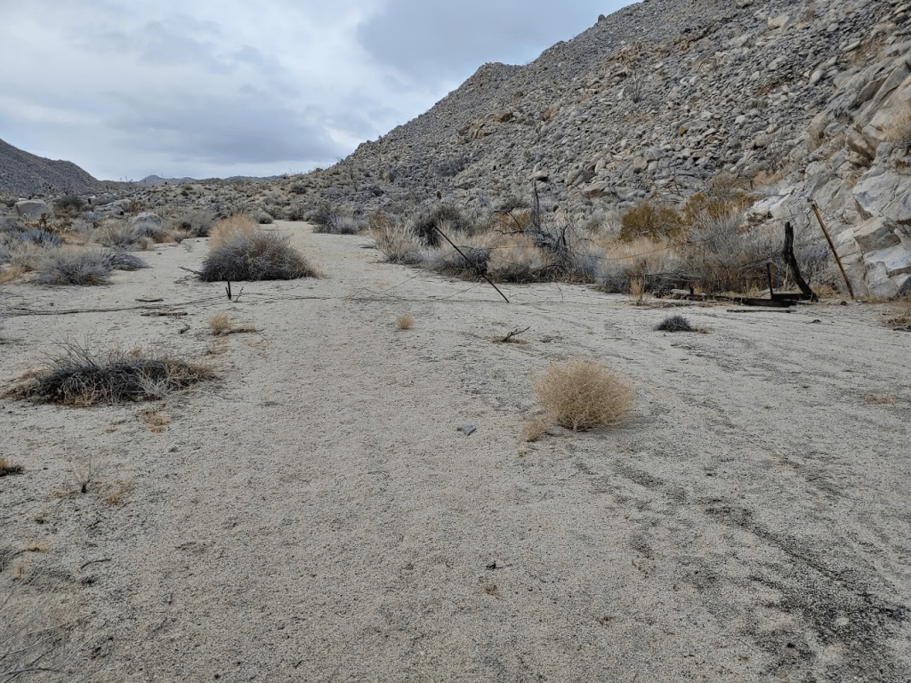
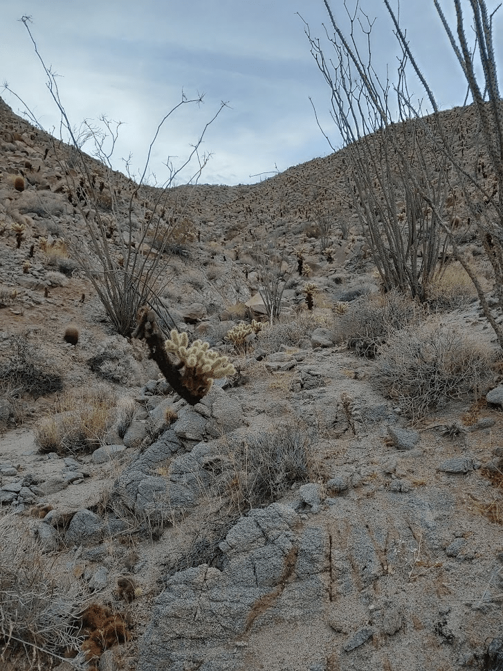
Once I got to the base of the mountains, I dropped into a large canyon.

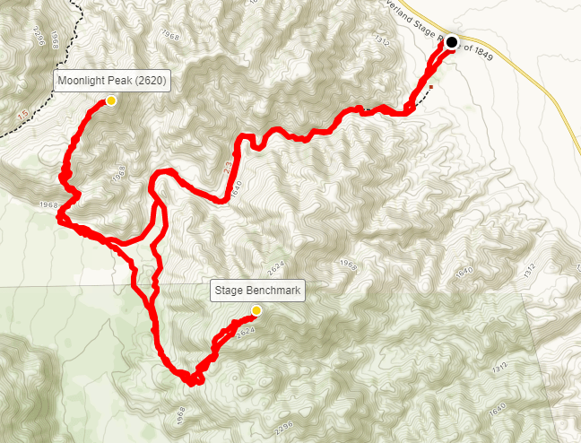
This wide sandy canyon cuts through the entire range, and most of the reports on Stage that I had read suggested taking this canyon all the way through and attacking the peak from the western side where the slopes were gentler. I made quick time through the canyon. I noticed the steep sides of it were covered in cholla.
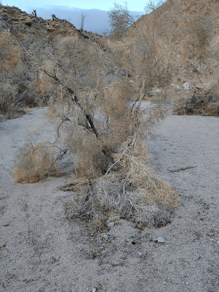
There were also smoke trees in the canyon, which I stopped to take a few pictures of. Smoke trees are so named because their gray colored “leaves” look like wisps of smoke from a distance. They tend to grow in dry watercourses such as the one I was in.
The canyon is not very steep at all, and there was maybe only one 5 foot dryfall I had to climb up. Towards the mouth of the canyon there was a trampled barbed wire fence.
After about 1 hour and 3 miles of hiking, I reached the top of the canyon which spills out onto an elevated desert plain known as the Inner Pasture. I had gained only about 600 feet of elevation from my car up to this point.
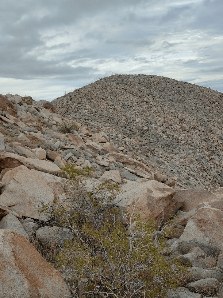
I was now in between the 2 peaks, with Moonlight to the north and Stage to the south. I decided to head up to Moonlight first. I made my way over to the base of the peak and began climbing up a small wash in a northeasterly direction.
The wash bends to the northwest a little before gaining the main ridge. The main ridge is very broad and not too steep compared to the wash. I could see the summit straight ahead.
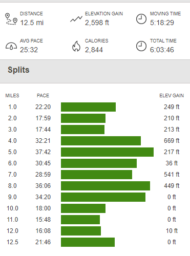
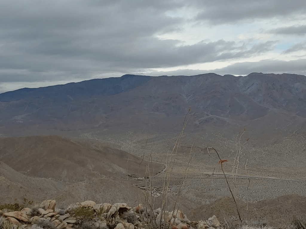
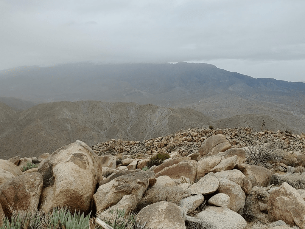
At 8:28am I reached the summit of Moonlight Peak (2620 feet). I had been hiking for 4.47 miles and just under 2 hours. The steep hiking had warmed me up considerably, so I took my jacket off. There was no benchmark on top, but I did sign the register which only contained a few entries. This clearly was not a very popular peak, which was fine with me. I had an excellent view of Whale Peak (5348 feet) to the north. Whale Peak, one of the most prominent mountains in Anza Borrego, looked very impressive from so near. The Agua Caliente campground is visible at the bottom of the picture.
I could see Stage very clearly across the canyon I had come up earlier.

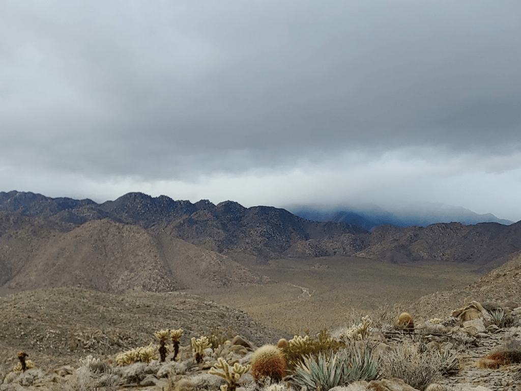
To the west the higher summits of the Laguna Mountains were obscured by clouds. There was a slight chance of rain in the forecast so the clouds concerned me a little.
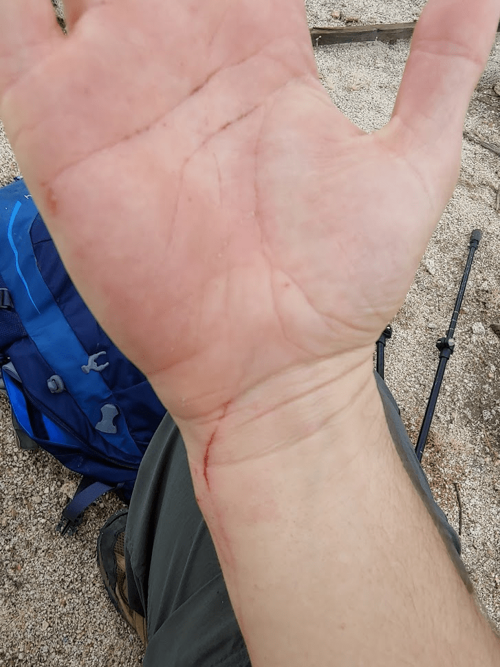
I ate a nature valley bar and after about ten minutes on top I started heading back down. The footing coming down was a little tricky and I slipped 2 or 3 times. On one such occasion I accidentally scraped my hand on a barrel cactus.
At 9:19am I was down on the Inner Pasture once more. It started to drizzle on me a little as I hiked over to the western base of Stage. I ascended a rocky wash in a southeasterly direction and then turned to the northeast as I got on top of the main ridge. Similar to Moonlight, the main ridge is broad and gently slopes upwards towards the summit area.
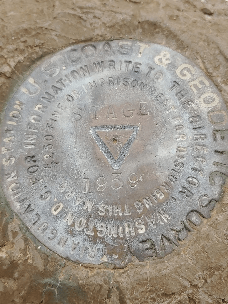
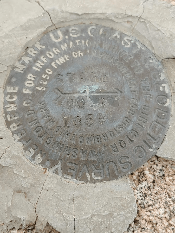
Finally, at 10:20am, I reached the summit at 2816 feet! I had been hiking for 7.58 miles up to this point. The summit area contains 2 neighboring peaks very close together. The benchmark and register are on the west one. It wasn’t obvious to me which one was higher but a few reports I had read indicated that the west one was 5-10 feet higher, so I didn’t bother hiking over to the east one. I located the triangulation benchmark as well as 2 reference markers. For some reason my picture of the 1st reference mark didn’t save.
I ate a snack (apple and Cliff bar) and signed the register as it began to rain a little harder. The top of Whale Peak was now obscured by clouds.
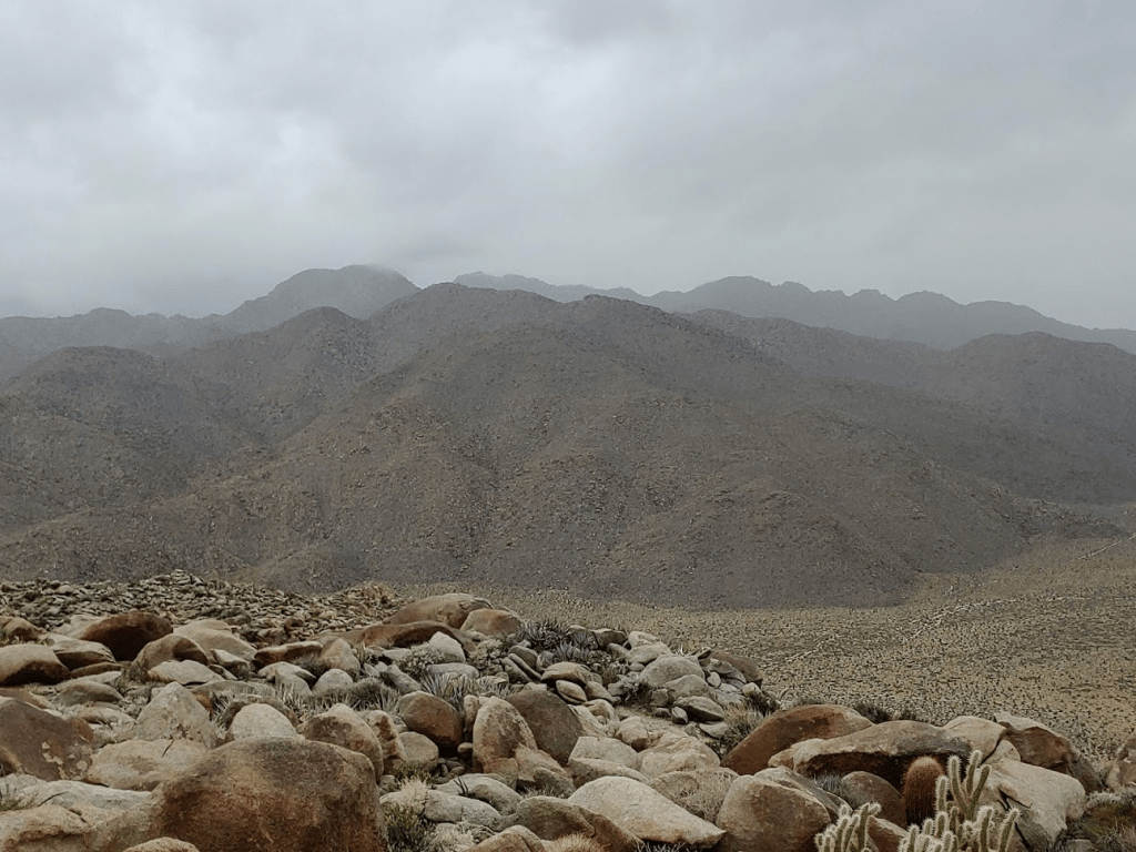
To the west were the Sawtooth Mountains. The Lagunas were now completely hidden by clouds.
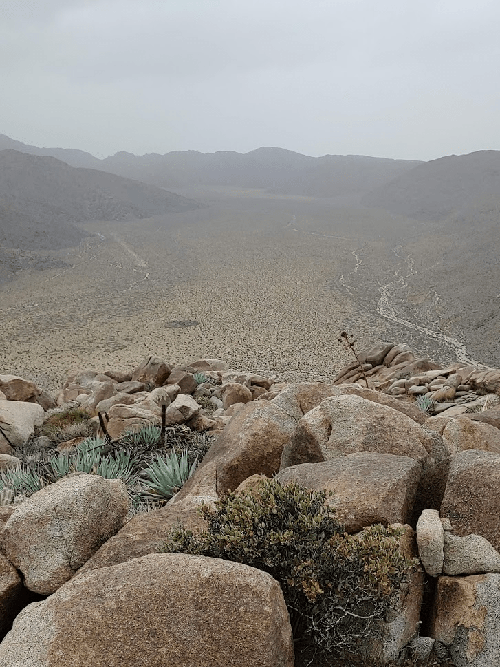
To the northwest was a good view of the Inner Pasture.
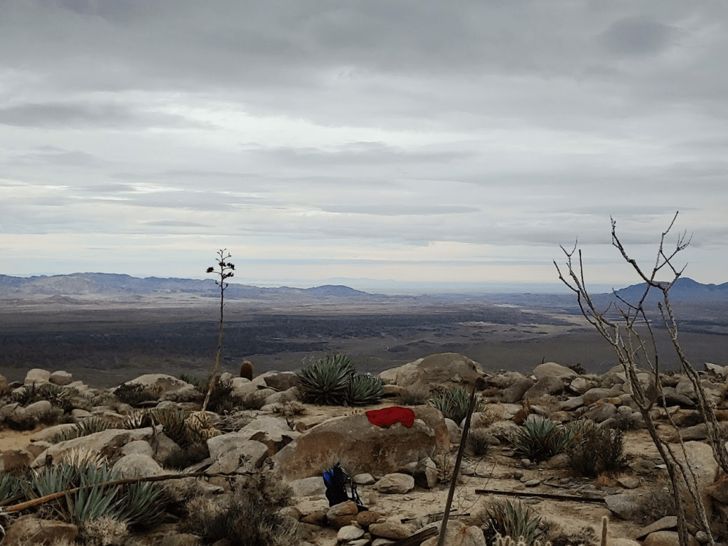
Looking across the desert to the east was the only direction that was somewhat clear. On a better day I imagine the southern tip of the Salton Sea would be visible.
I put my jacket on to keep warm from the rain. I spent just over 20 minutes on the summit before heading down. I normally would have stayed longer but I was concerned about descending if the rain got worse and really made things slippery. It took me an hour to reach the mouth of the canyon once more. The rain stopped during the descent and I took my jacket off again. I then made my way back down the final 3 miles through the canyon and back to my car. Despite the clouds and somewhat rainy conditions, it was an excellent hike, and it felt great to get back out to the desert and explore yet another part of Anza Borrego. The drive home over the mountains was so foggy at times that it slowed traffic down. I made it home around 2:30. Final stats for the day were 12.5 miles, 2598 feet elevation gain, and 6:03:46 total time.