Spanish Needle
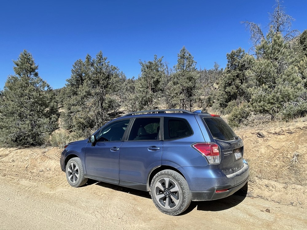
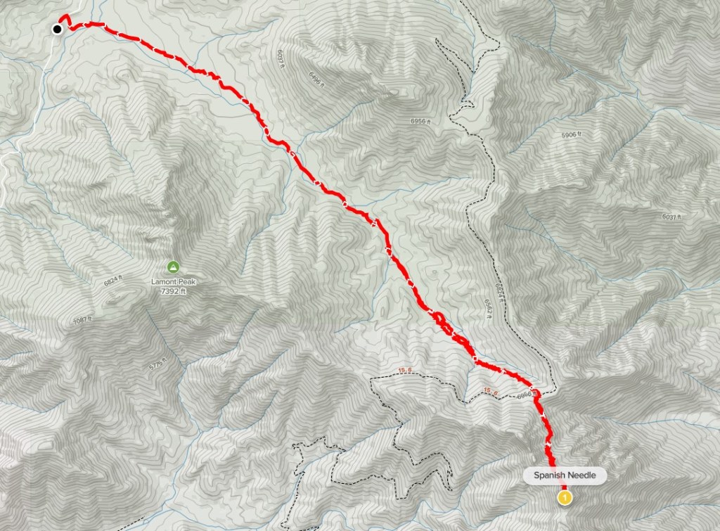
The weather was beginning to warm up, so I took a day off from work to make a 3 day weekend trip to the Southern Sierra. The first peak I planned to climb was Spanish Needle, a 7841 foot SPS peak in the Owens Peak Wilderness. I had missed Spanish Needle on a trip to the area the previous spring when I climbed Owens, Sawtooth, and Lamont Peaks. I had shied away from it on that trip due to some difficult class 3 climbing which is required to reach the summit. I left San Diego around 5am Saturday morning and made the 4 hour drive north. From Highway 178, I drove north on Chimney Peak Road for 9 miles and parked on the side of the road at Lamont Meadow. Chimney Peak Road is a graded dirt road and passable for any vehicle. I began hiking at 9:20am from 5260 feet above sea level.
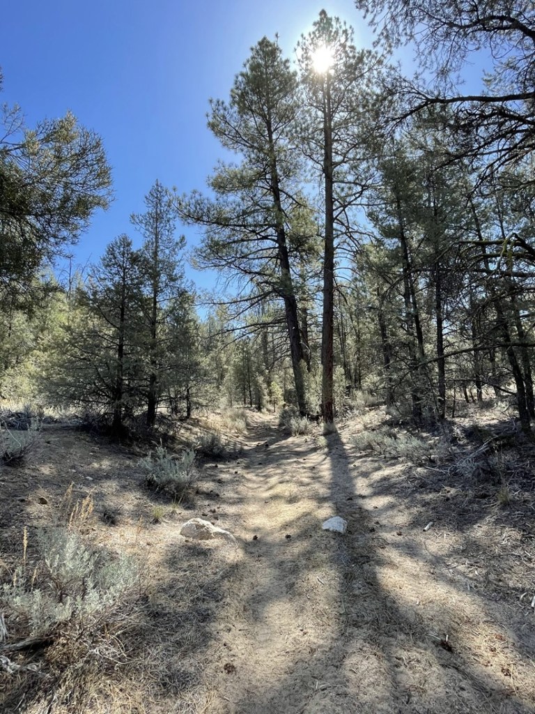
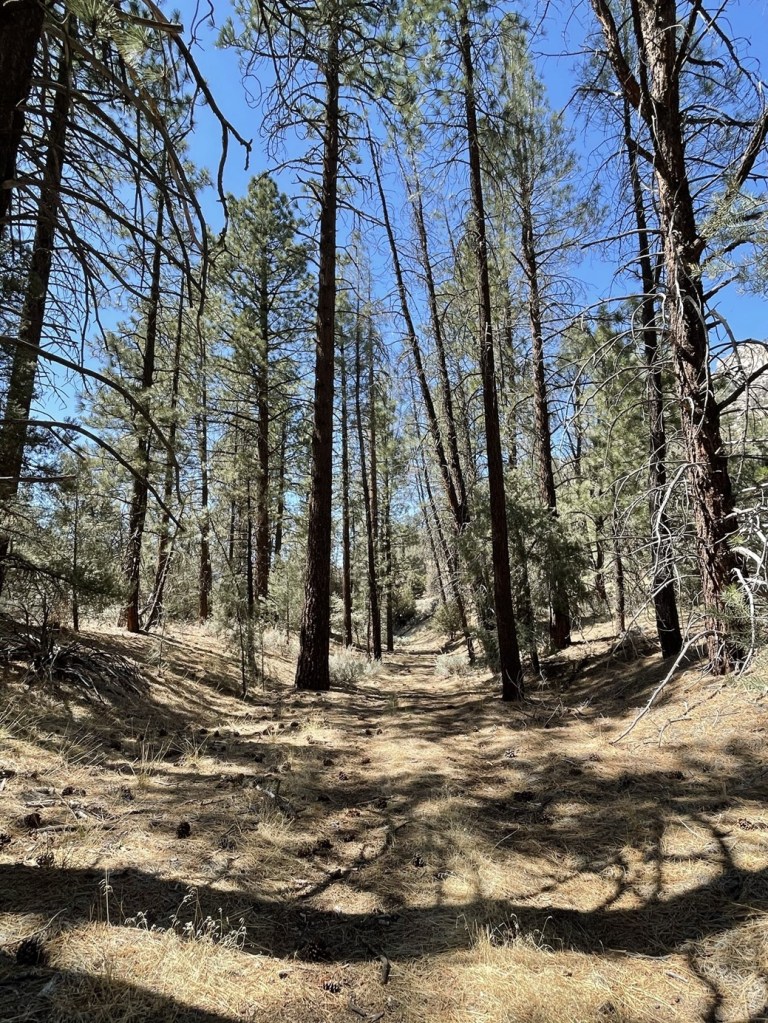
The route began on an old 4WD road that goes east from Chimney Peak Road. This road does show up on the topo map.
The road was very rough. At 0.2 mile I passed through a barbed wire fence.

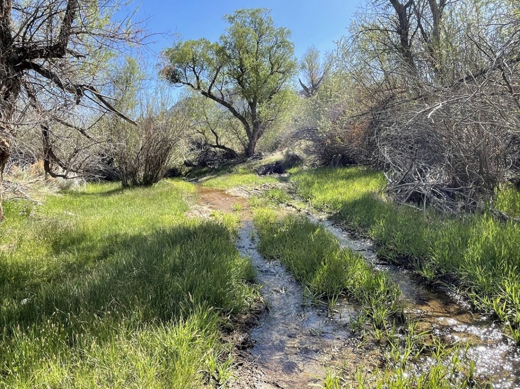
At 0.3 mile I crossed Chimney Creek.
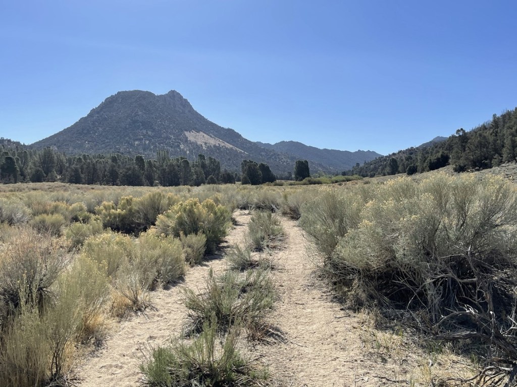
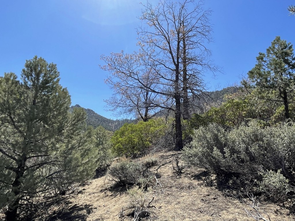
I continued east through the meadow. The weather was beautiful – it was nice and sunny but not too warm. Lamont Benchmark is the peak in the picture below. I climbed Lamont Benchmark in April 2020 on the same hike I did Sawtooth Peak.
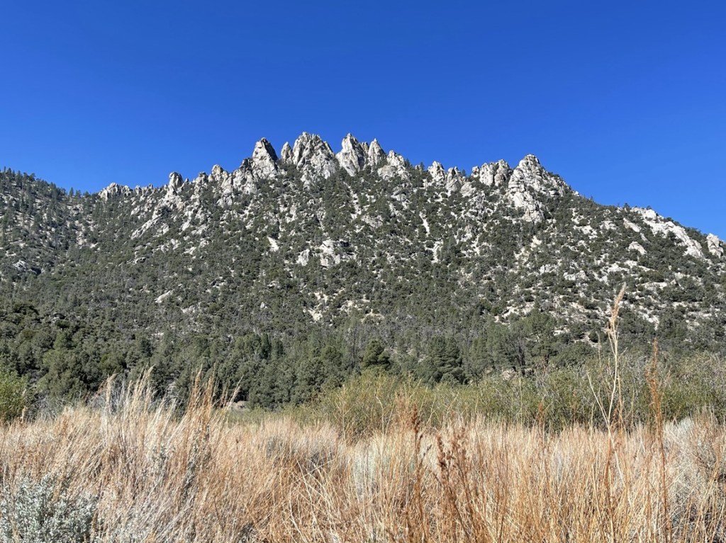
On my right side I had a great view of the Lamont Pinnacles.
The road was pretty sandy which made the uphill hiking a little difficult.
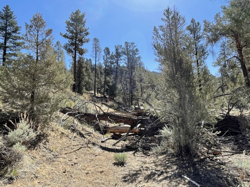
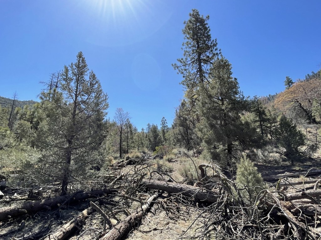
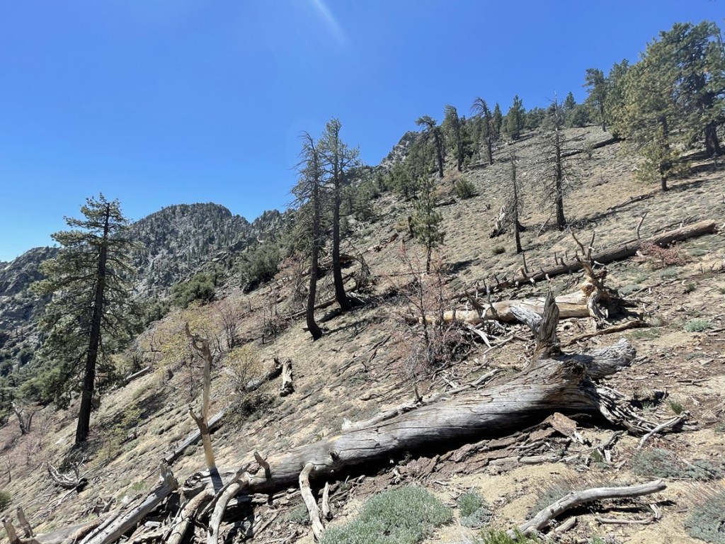
There were lots of dead trees in the area, including many blocking the road.
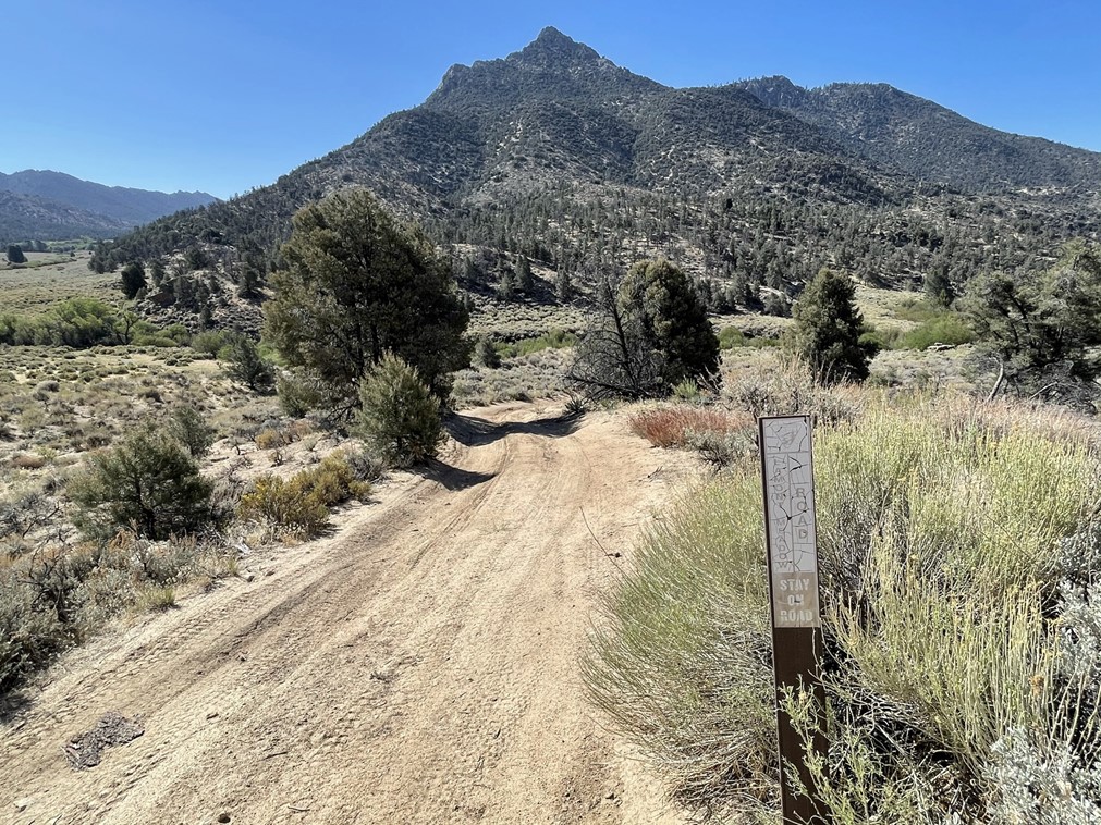
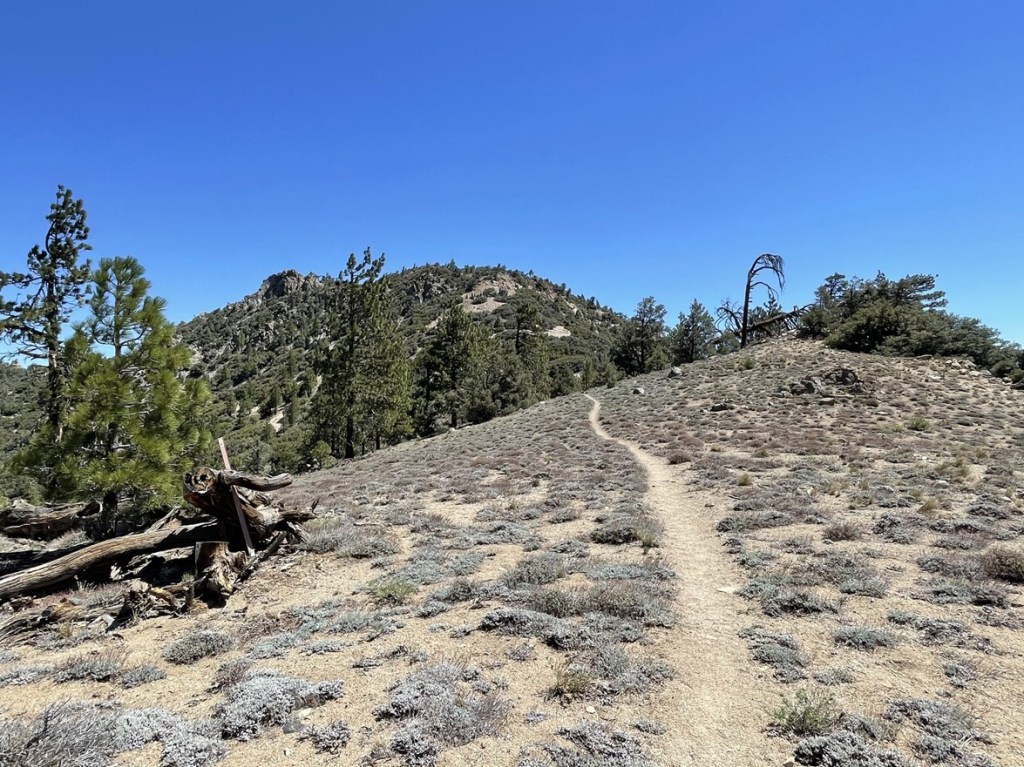
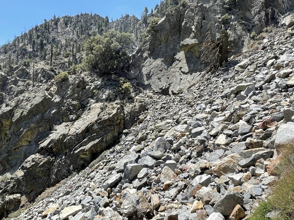
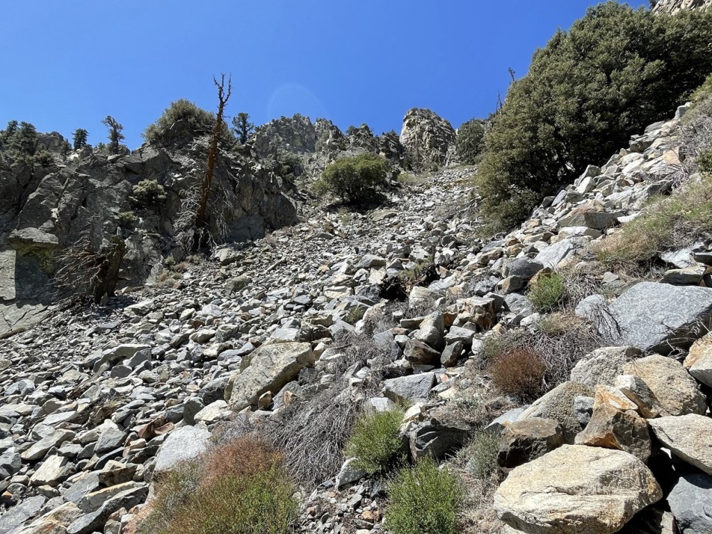
The road petered out around 3.3 miles. I then had to ascend about 800 feet in 1.2 miles to reach the PCT.
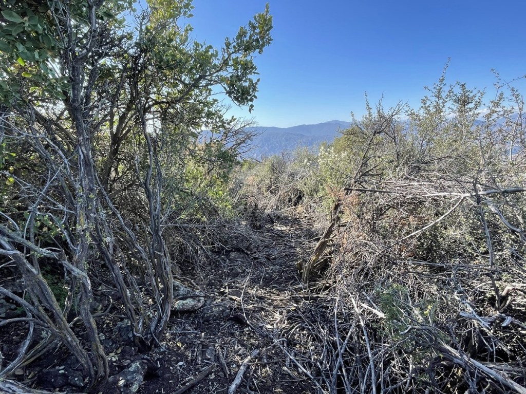
There were some sections of thick brush to maneuver around, but overall it wasn’t too bad. I stayed on the right hand side of the gully I was ascending which led to some tedious side-hilling.
I reached the PCT at 4.5 miles.
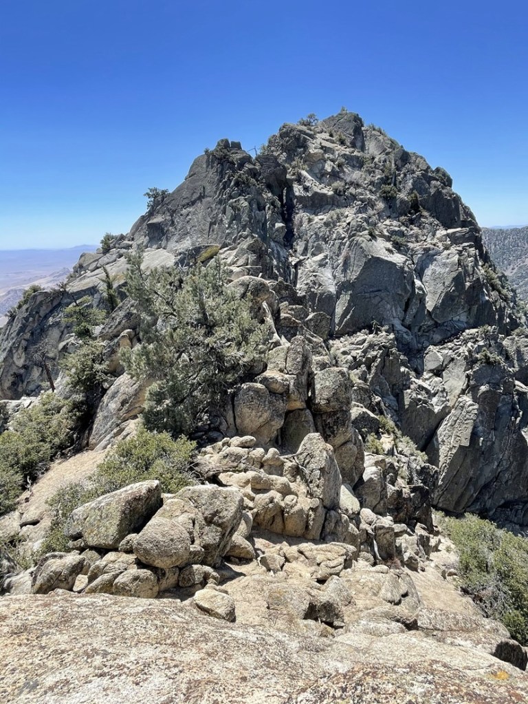
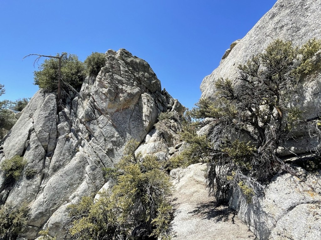
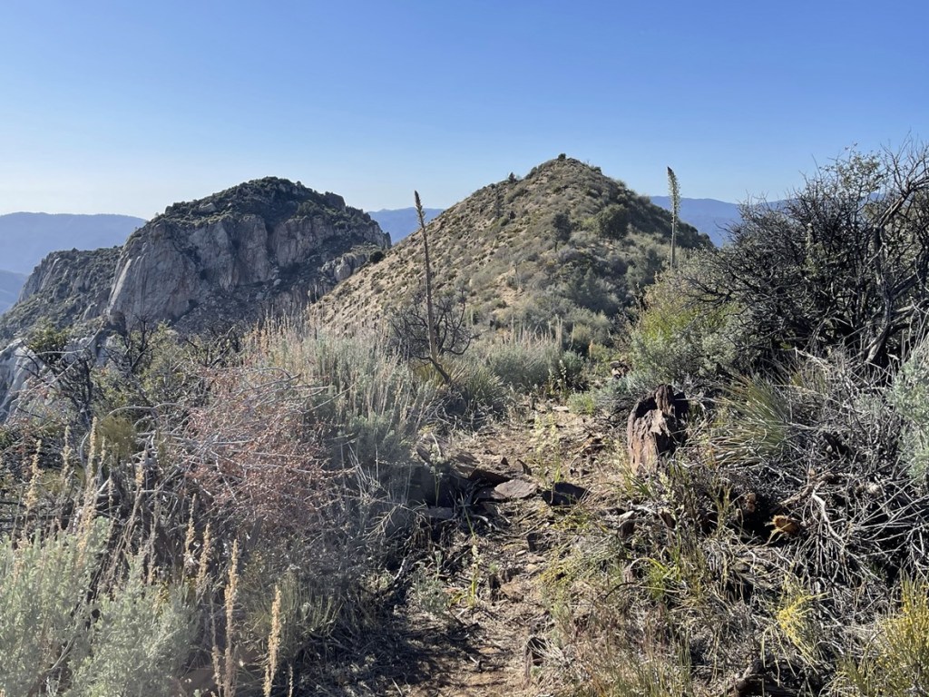
Unfortunately, I wouldn’t be doing any actual hiking on the PCT. I crossed over the trail and proceeded southeast towards Spanish Needle. The rocky peak on the left side of the picture below is North Needle. Spanish Needle, which is about 200 feet higher, is out of sight beyond North Needle. My route would require traversing around the northern side of the ridge that connects the two peaks.
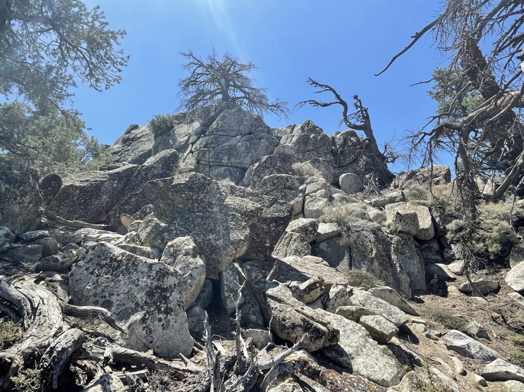
I had to do a lot of side-hilling. At times there was a vague use trail which helped a little.
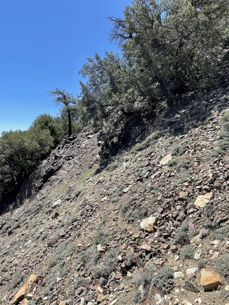
I had to cross a few rockslides.
The terrain was very rough.
As I got around North Needle, I started climbing towards the ridge.
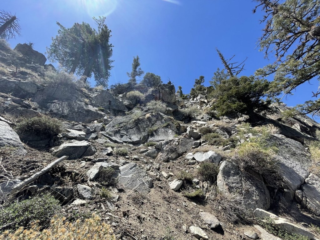
I had to do some class 2 scrambling (possibly low class 3) to gain the ridge.
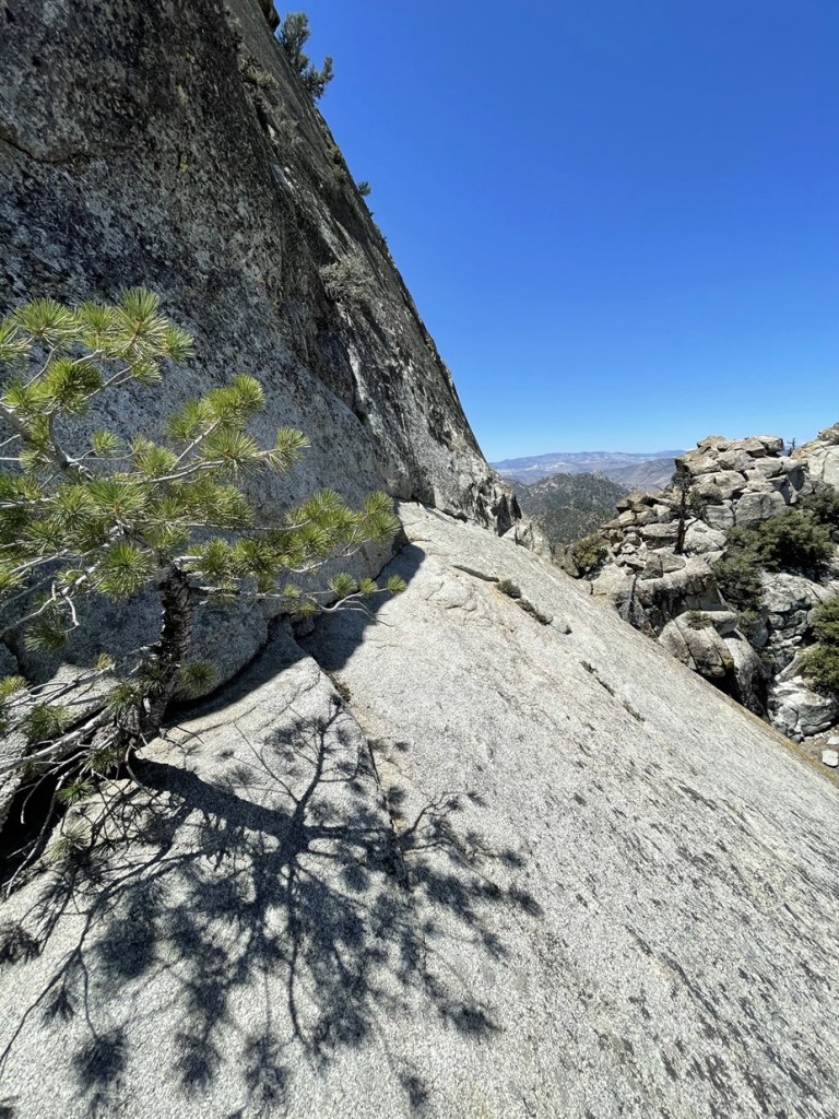
I reached the ridge, and the summit came into view. It was pretty windy on the ridge. The hardest part was still ahead of me.
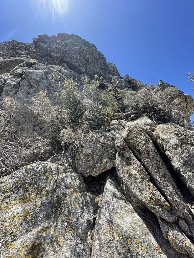
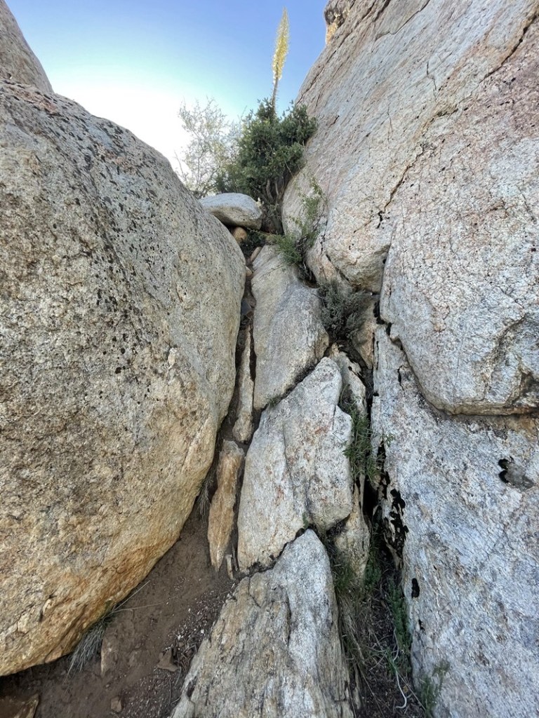
I descended to a minor saddle and then had to climb a class 3 section to reach a slab. This was the most difficult part of the route. I didn’t think it was too bad, but I knew descending this section would be trickier.
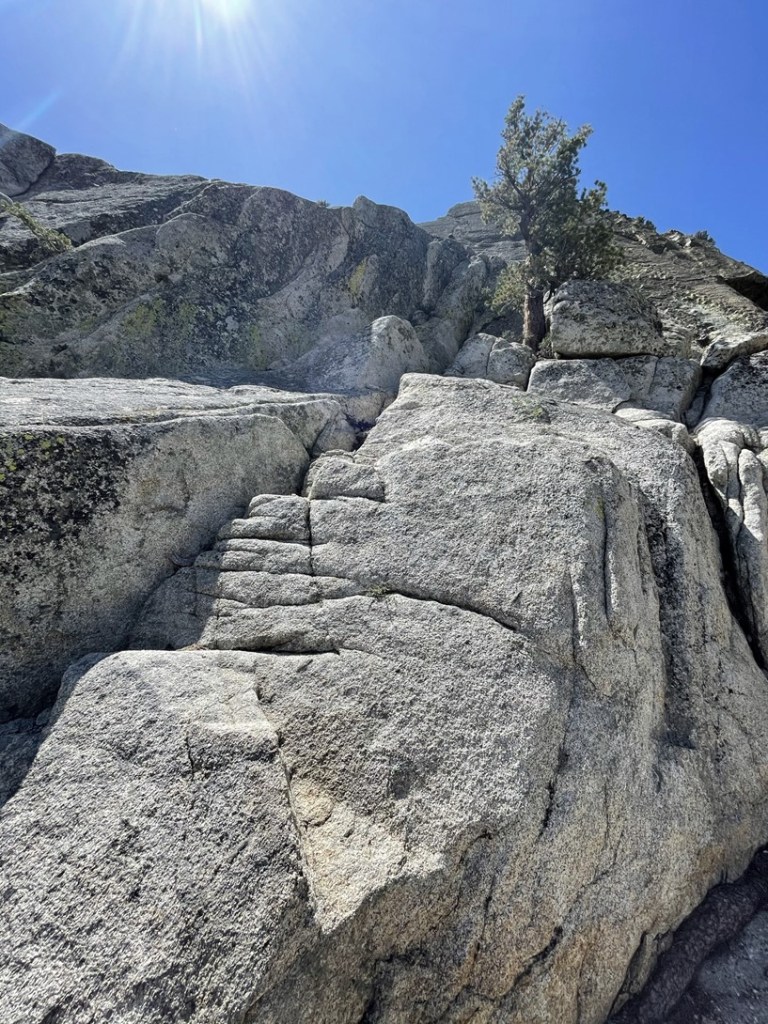
I made it up the class 3 section and then had to cross a large slab. I had been concerned about this part after reading various trip reports, but it wasn’t as sketchy as I had feared. A slip here would be really bad, but I stayed high on the slab and just trusted my shoes. I would just make sure you’re not wearing old shoes with worn out tread, and definitely avoid doing it in wet or icy conditions.
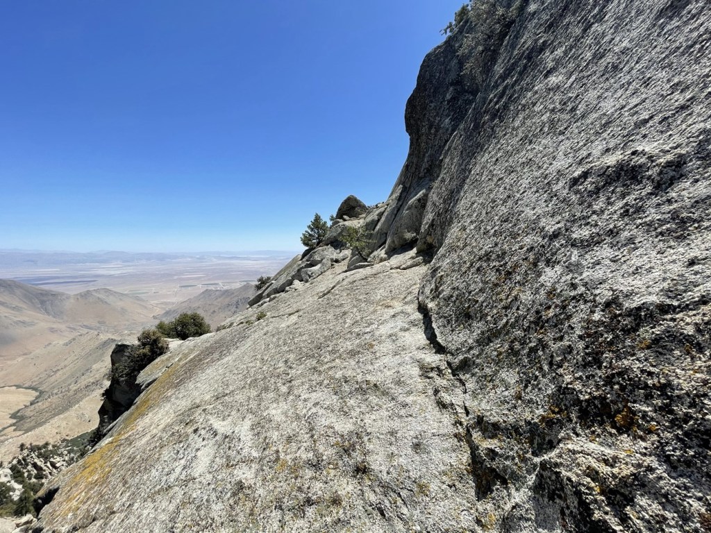
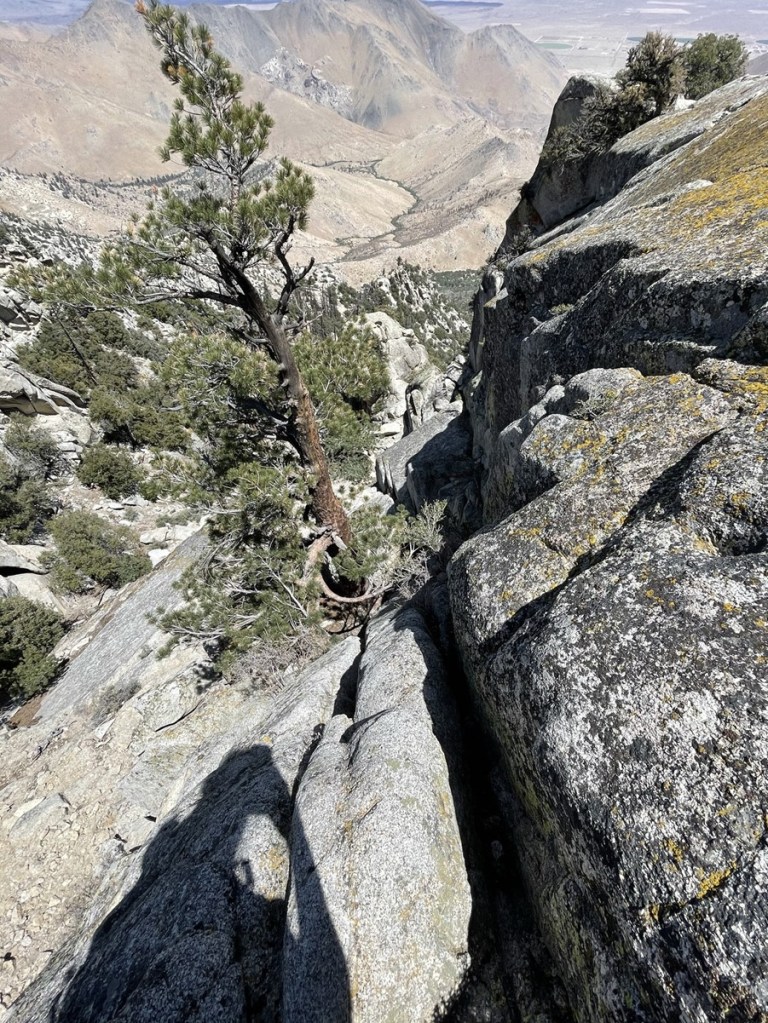
After crossing the slab, I climbed up another class 3 section.
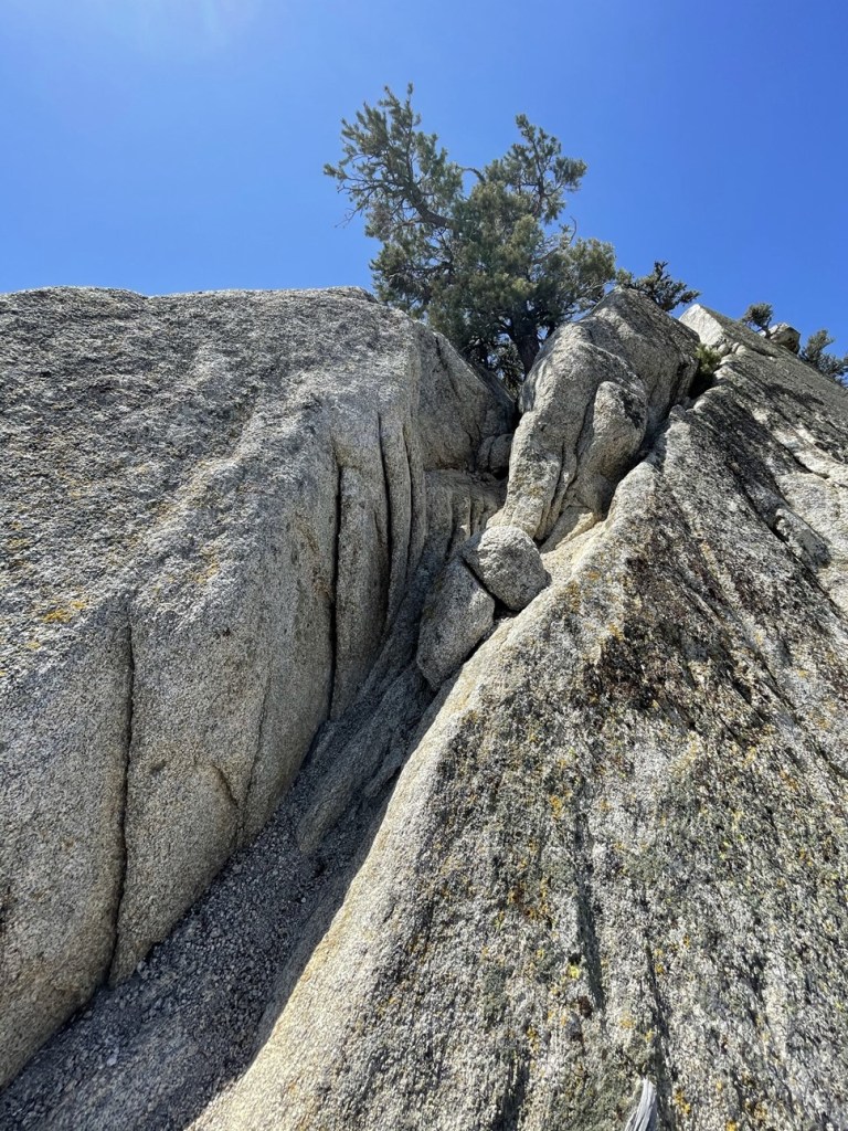
I was now just below the summit.
One more class 3 section:
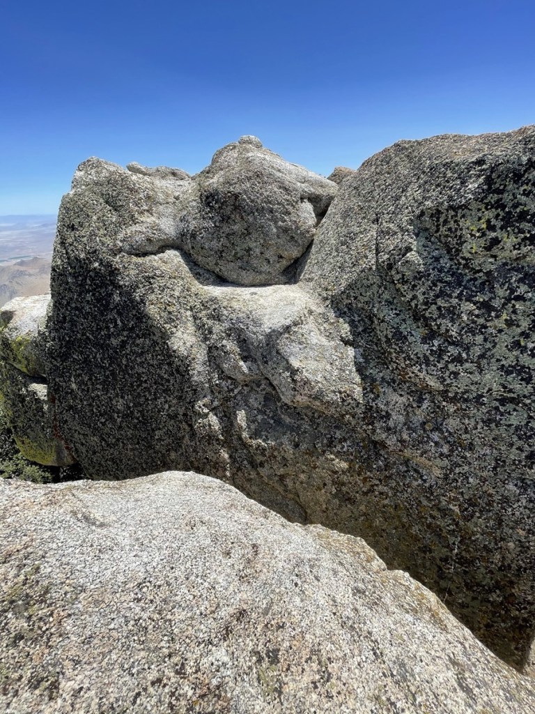
At the very top, you have to make a “leap of faith” across a 2 foot chasm to reach the summit. This wasn’t bad either – just don’t overthink it.
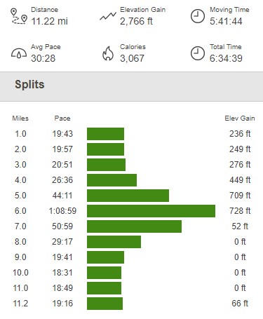
I reached the summit at 12:29pm at 5.6 miles!
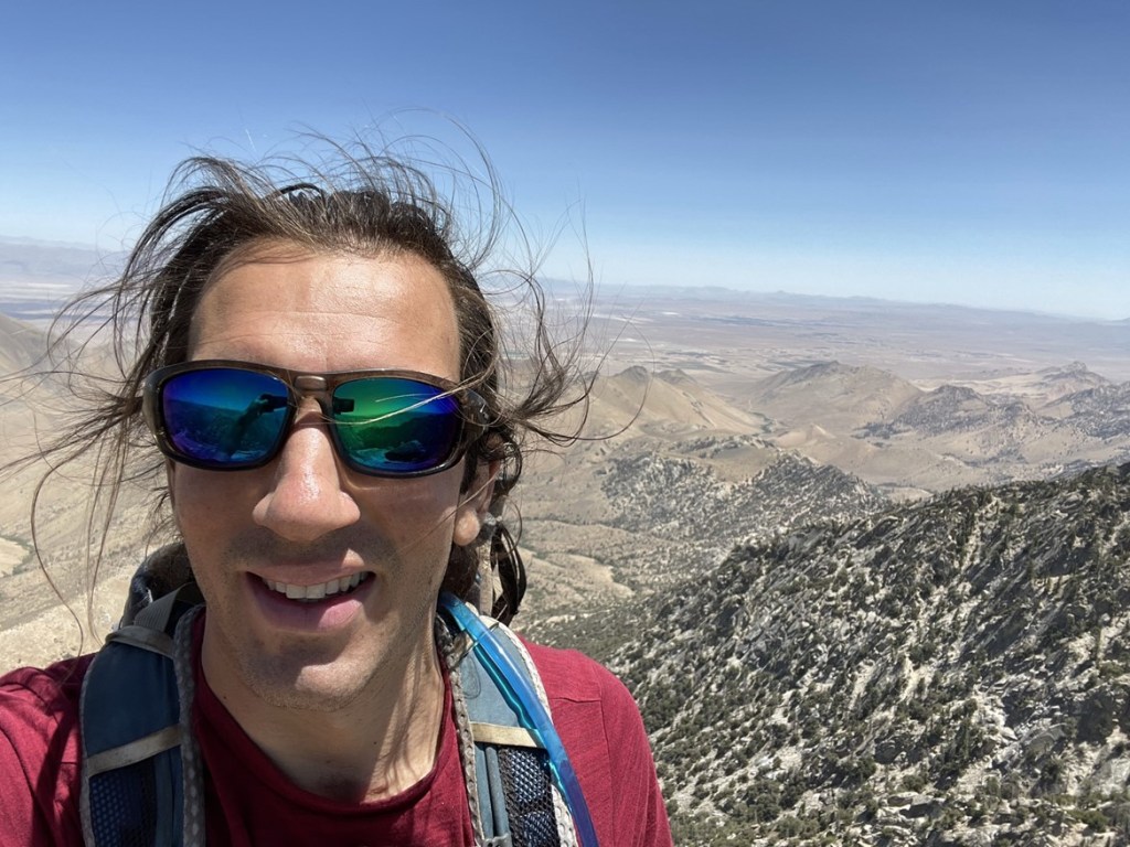
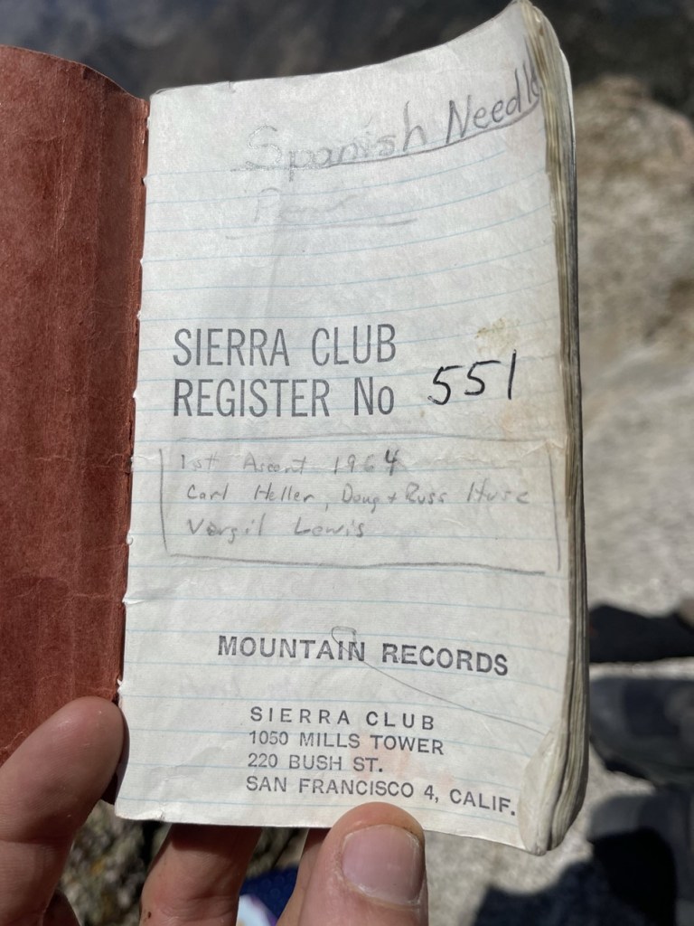
I was rather proud of myself for successfully reaching the summit as this was one of the most technically difficult hikes I had done up to this point. I signed the register which dated all the way back to 1964. The previous ascent was on April 24.
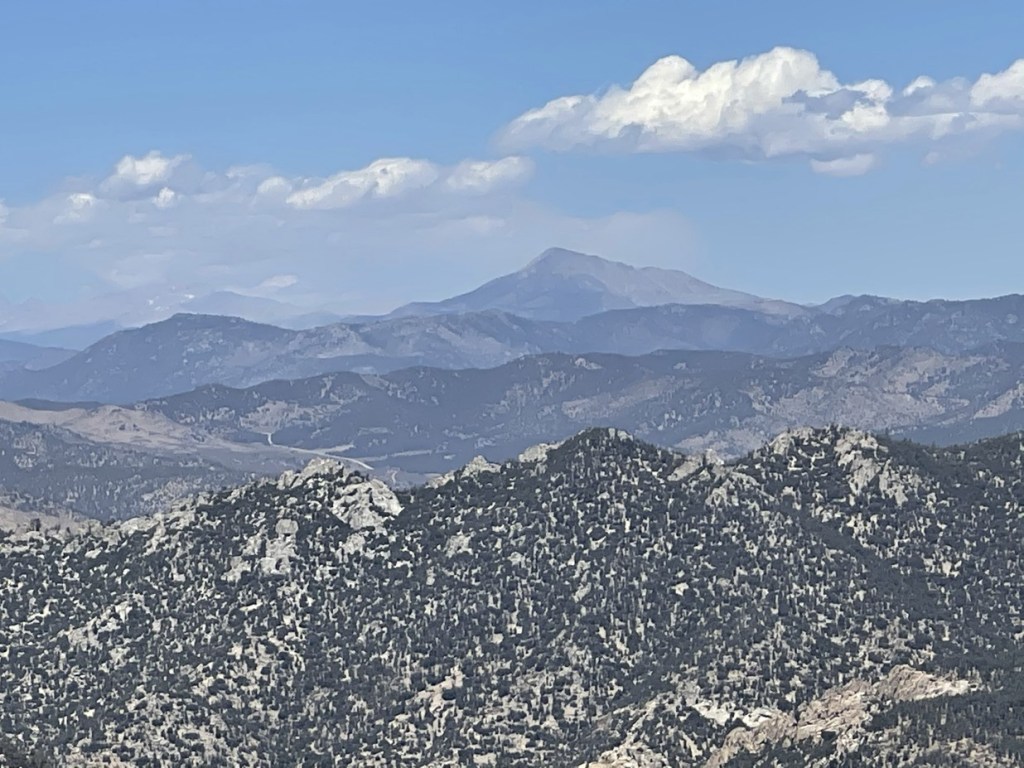
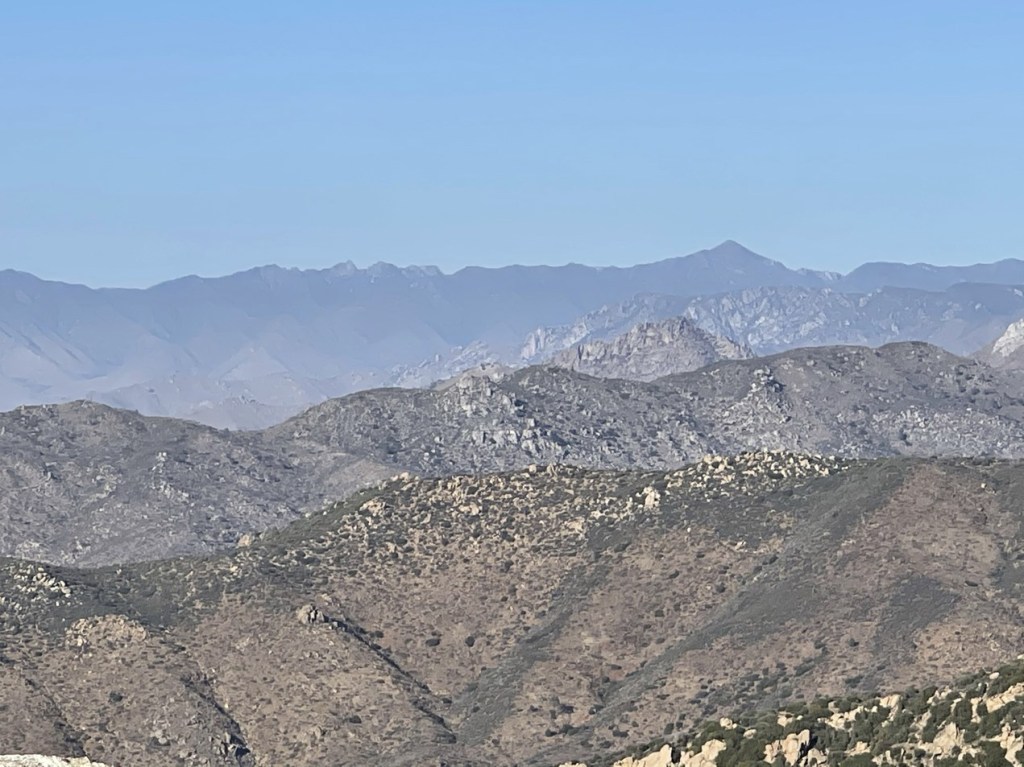
It was a clear day, so the views were pretty good. Owens Peak looked pretty impressive just a few miles south.

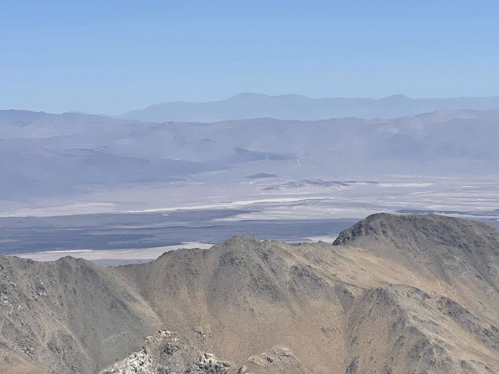
To the east I could see Telescope Peak in Death Valley National Park.
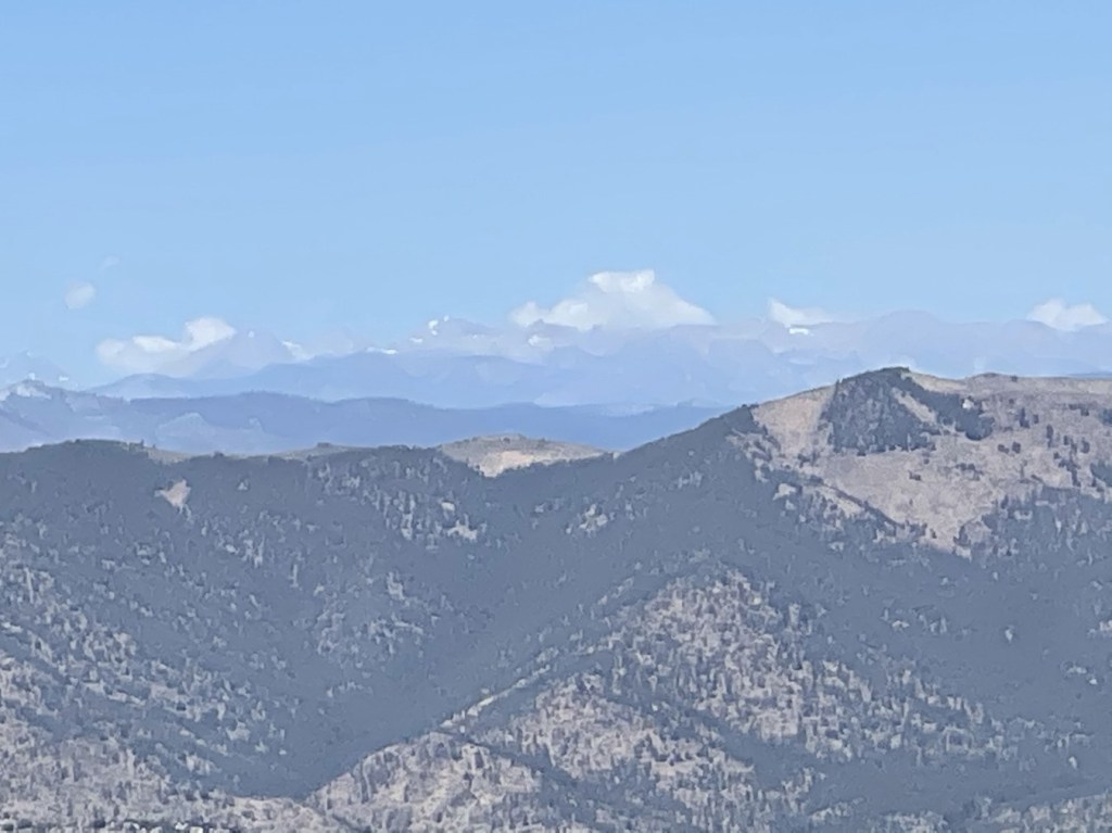
Far to the north I could see Olancha Peak rising dramatically above 12,000 feet.
I could barely make out Whitney and Langley beyond Olancha.
I began descending after a 25 minute break. I jumped back over the chasm and then carefully climbed down the class 3 sections. I had no issues with the slab once again. It looks worse than it actually is.
As I had expected, the most difficult part was downclimbing the class 3 section just below the slab.
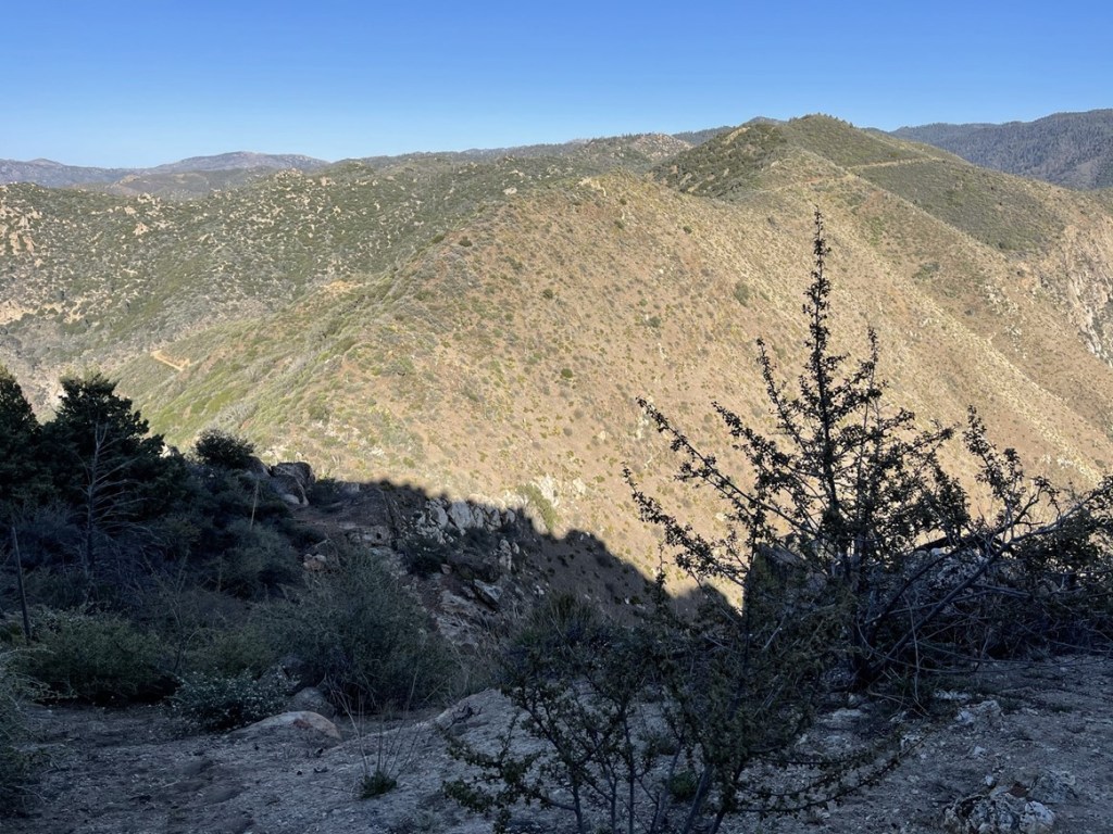
I breathed a little easier once that part was behind me. I retraced my steps back towards the PCT saddle.
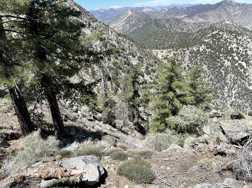
I reached the PCT again at 6.7 miles. I saw a thru hiker on his way north while I was taking a short break. From there, I continued northwest towards Lamont Meadow.
I saw some fresh bear poop but no actual bears. I had seen a bear while climbing nearby Sawtooth Peak around this same time the year before, so I was on the lookout. I eventually reached the road again.
From there, it was easy hiking back to the trailhead. I reached the car at 3:54pm. This hike totaled 11.22 miles, 2766 feet elevation gain, and 6:34:39 total time.
Bald Eagle Peak
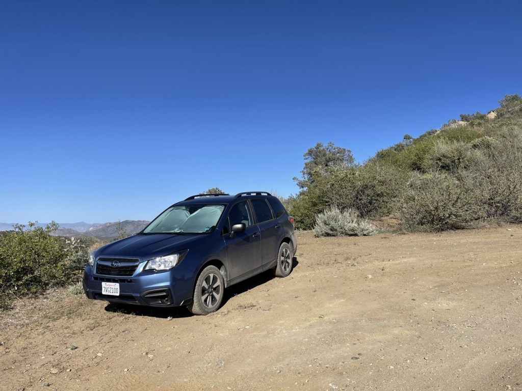
My plan for the rest of the weekend was to head to the Domeland Wilderness in Sequoia National Forest to climb 3 more SPS peaks in that area. I still had some time left in the day, so I decided to add on one more peak before heading that way. There are numerous HPS peaks just south of the Sierra, so I decided to climb one called Bald Eagle Peak (6181 feet). I drove back to Highway 178 and went west to Lake Isabella. From there, I went south on Lake Isabella Blvd which eventually turned into Caliente Bodfish Rd. I then drove southeast on Piute Mountain Road (Forest Route 27S02) for 5.3 miles and parked. Piute Mountain Road was in good shape and no problem for my Subaru. I started this hike at 5:25pm from 6090 feet.
I started hiking northwest towards the peak. It was less than a mile away so this would be a short hike. I would have to climb over a false summit (right) before reaching the actual peak (left).
It appeared that someone had recently clipped a pretty nice trail through the brush.
I climbed over the false summit and then descended to the saddle.

There was a short class 2 section not far below the summit.
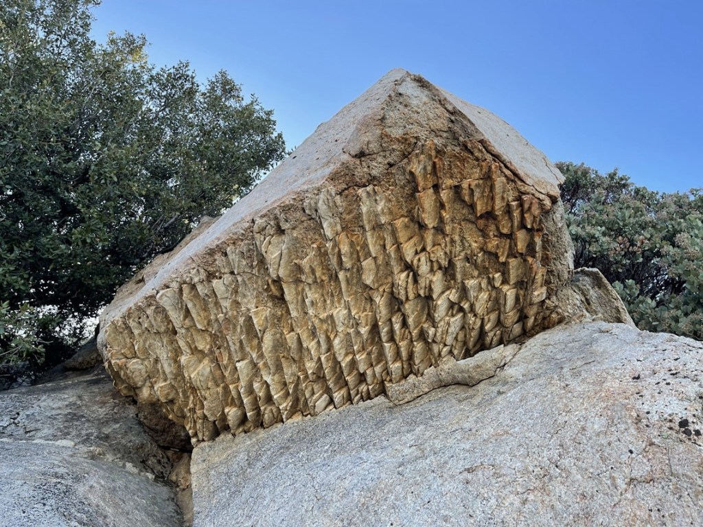
I noticed a weird looking rock on my way up.
I reached the summit at 5:46pm at 0.7 mile! I signed the register which had been placed in 1999 by legendary HPS hiker Mars Bonfire. The previous entry was from April 18. I had a very good view of Isabella Lake.
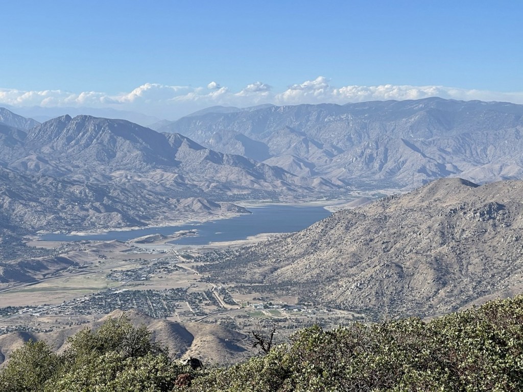
To the northeast I could see Spanish Needle (double summit on the left) and Owens Peak (tall peak on right).
To the southwest I could see Breckenridge Mountain.

I began the descent after a short break on the summit.
I retraced my steps and reached the car again at 6:15pm. This hike totaled 1.49 miles, 561 feet elevation gain, and 50:55 total time.


I packed up and then started driving towards Big Meadow, which is near the Domeland Wilderness. From Kernville, I drove north on Mountain Highway 99 to Sherman Pass Road. I went east on Sherman Pass Road and then south on Forest Route 22S12. I found a nice campsite along the road to spend the night.
