Rockhouse Peak
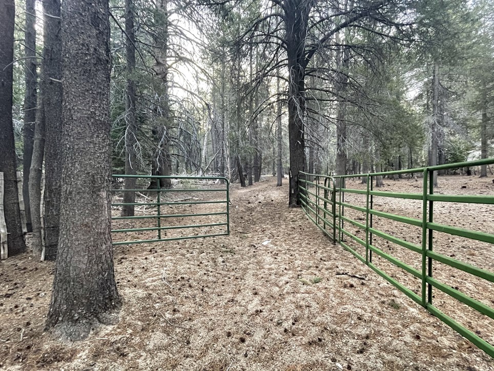
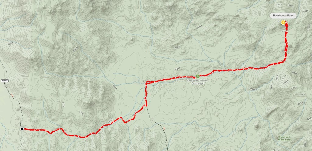
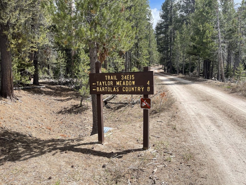
The Domeland Wilderness is a beautiful area in the Southern Sierra known for its many granite domes. Rockhouse Peak (8360 feet) and Taylor Dome (8802 feet) are 2 such domes and are both on the SPS List. They are generally climbed together due to their proximity to each other. I woke up early at my campsite on Forest Route 22S12 and drove south to Forest Route 23S07. I turned left and went east and then south around Big Meadow and then parked at the trailhead for the South Manter Trail. I would be able to access both peaks by hiking east into the wilderness on this trail. Rockhouse is much further, so I planned to climb that peak first and then climb Taylor on the way back. There was a slight chance of rain in the forecast, so I wanted to get the further peak out of the way first. There was one other truck parked there when I arrived. I began this hike at 6:19am from 7838 feet above sea level.
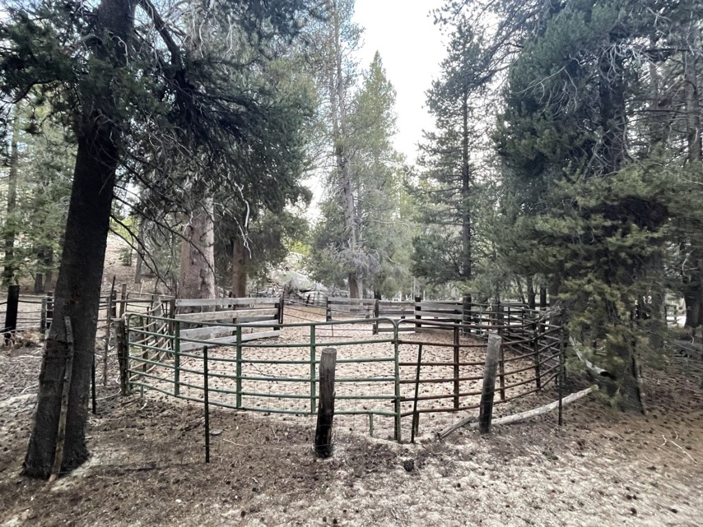
There was a large corral at the beginning of the trail.
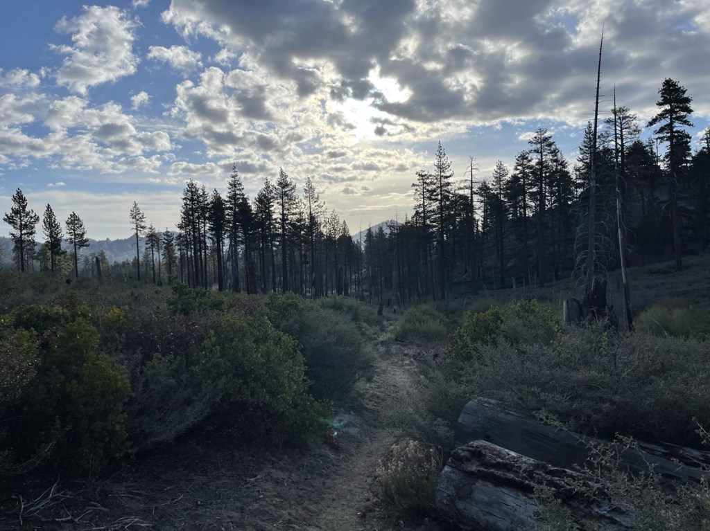
It was pretty chilly this early in the morning. I hiked east as the trail gained a little elevation at the beginning.
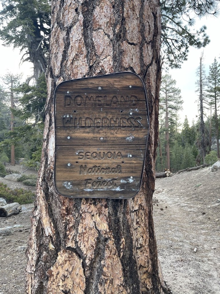
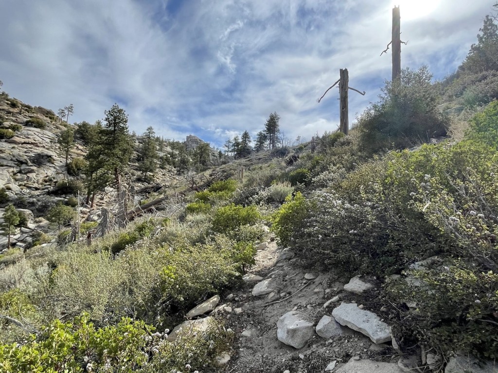
At 0.4 mile I entered the Domeland Wilderness.
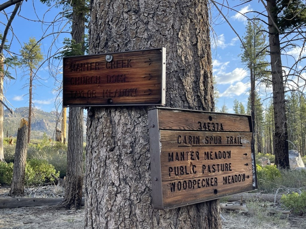
At 0.6 mile I passed a broken trail sign.

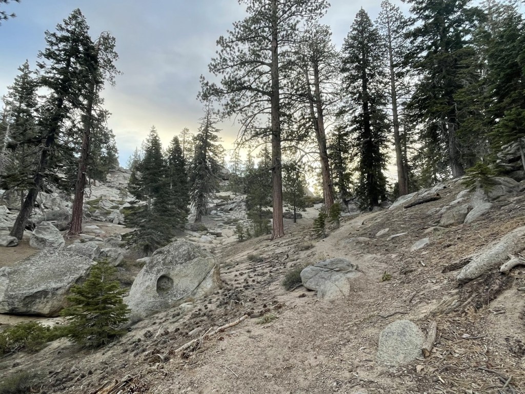
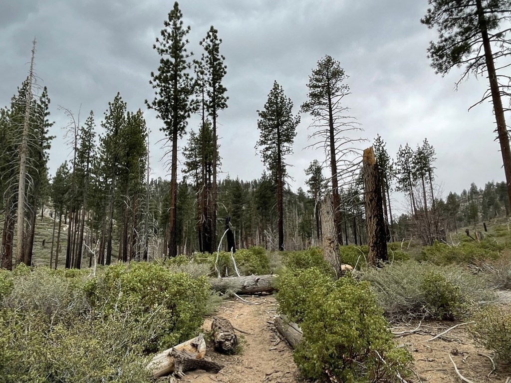
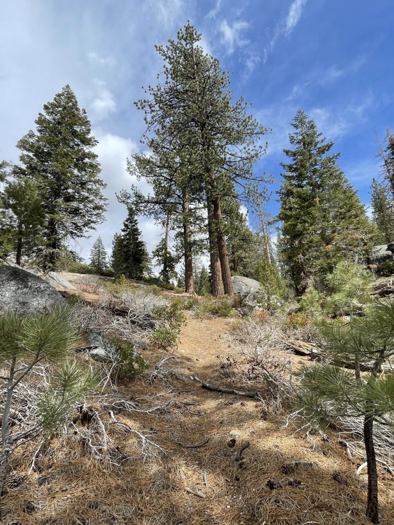
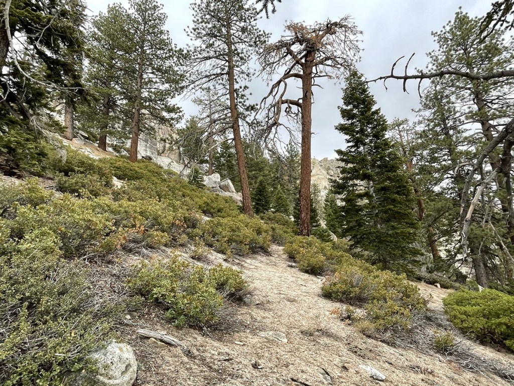
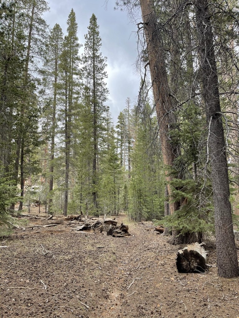
The trail was very beautiful. It was mostly downhill for the first few miles.
At 2.5 miles I reached a trail junction and went right towards Manter Meadow.
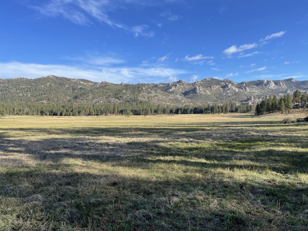
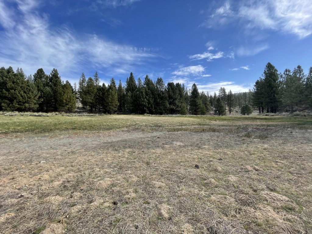
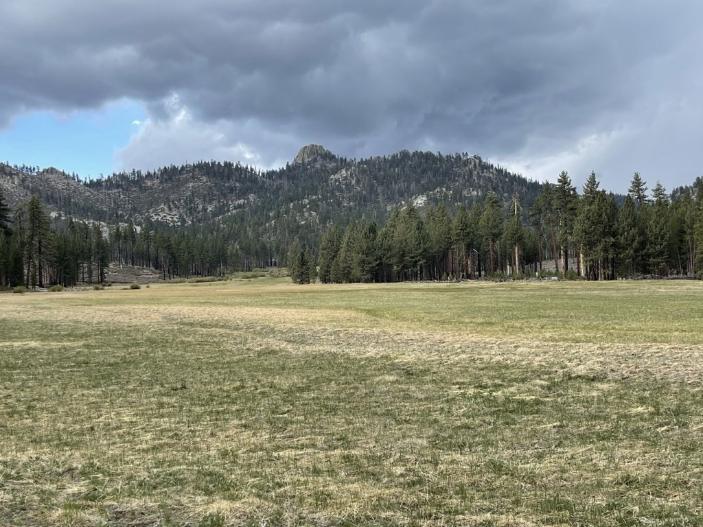
I reached Manter Meadow at 3 miles. It was massive!

The trail followed the southern edge of the meadow and then turned north along its eastern edge.
At 3.8 miles I turned east again towards Little Manter Meadow. There was a guy and his son camping in the forest near the meadow here. We chatted briefly before I continued. They were a bit surprised to see someone out hiking so early.
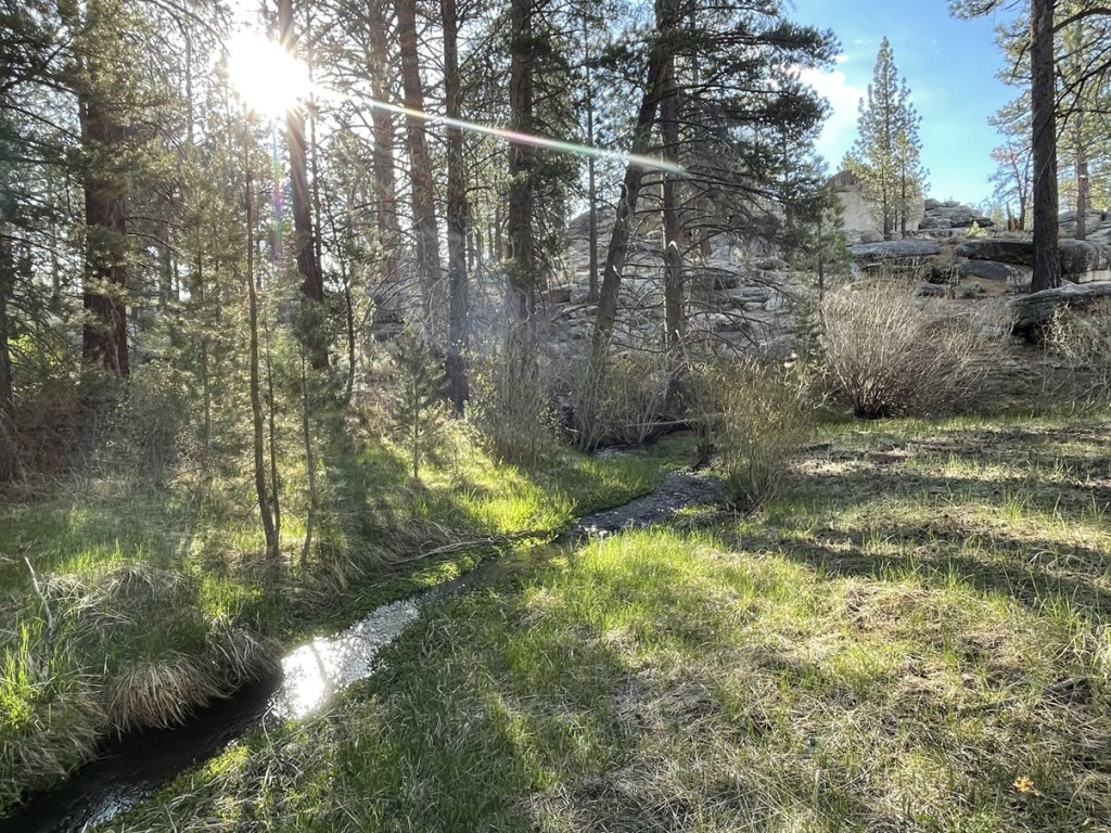
The trail follows Manter Creek for the next few miles.
It was steady downhill hiking.
At 4.9 miles I crossed the creek.
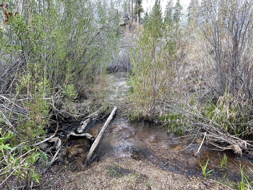
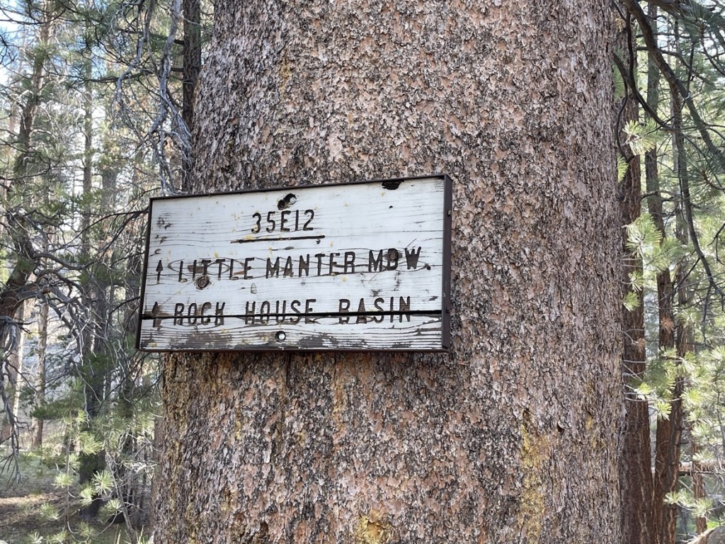
I crossed back to the other side shortly afterward. I reached Little Manter Meadow at 5.2 miles. It was much smaller than Manter Meadow.
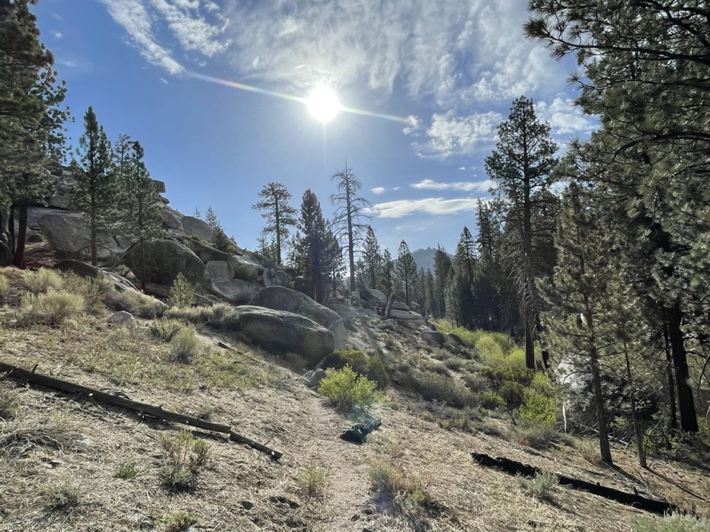
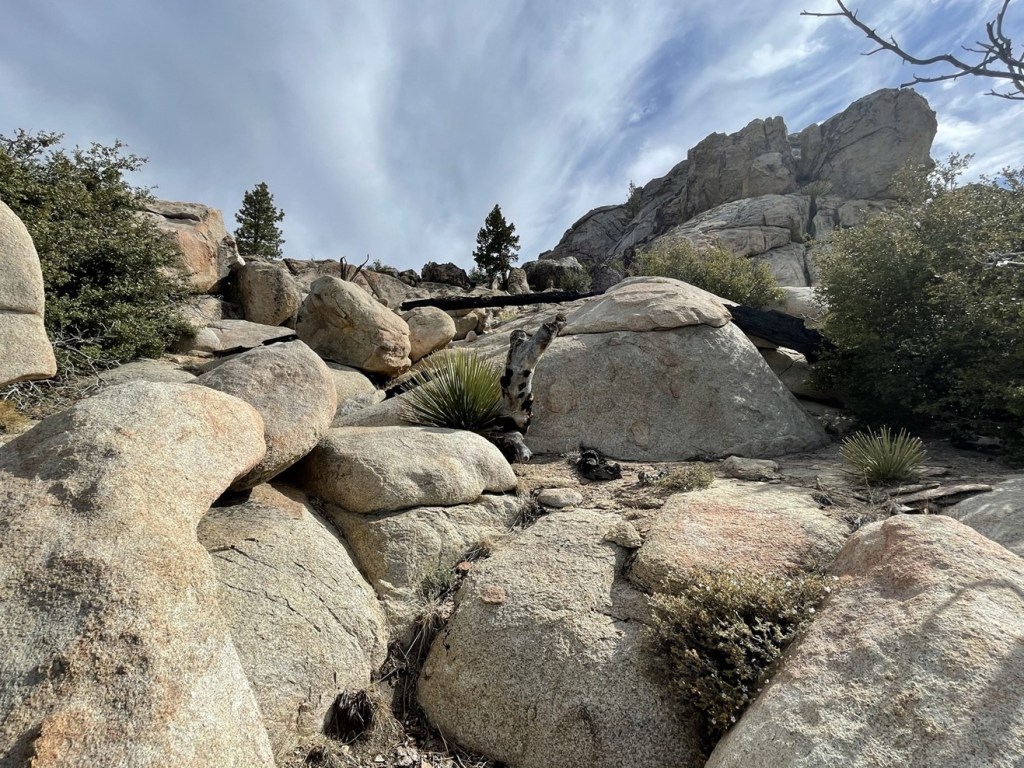
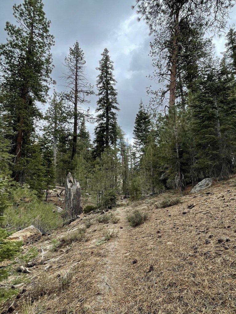
The trail was a little harder to follow through the next section but there were cairns to help guide the way.

I reached the low point on the trail around 6700 feet. I had descended over 1000 feet already. I then started climbing steadily as the trail finally gained some elevation.
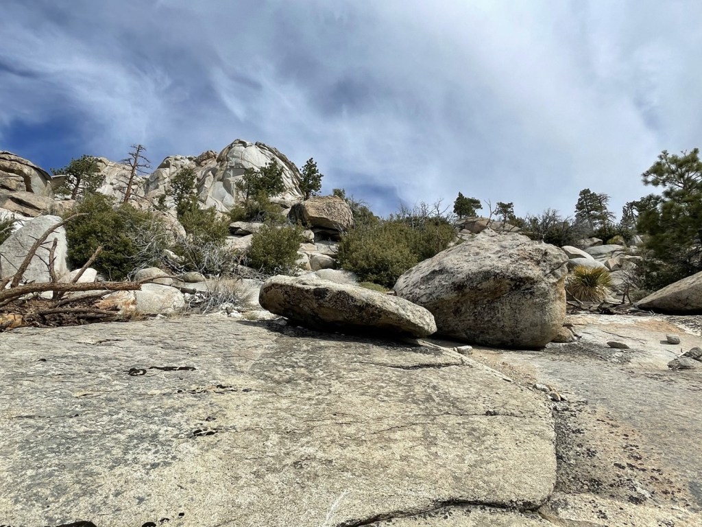
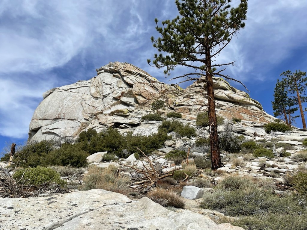
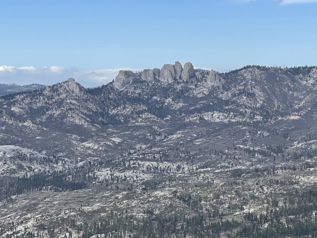
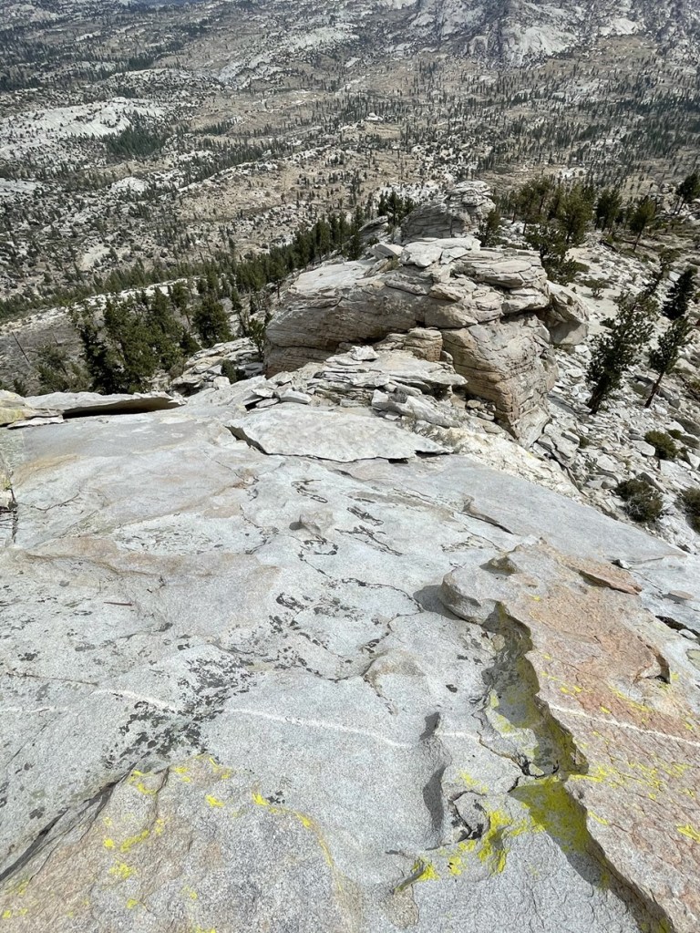
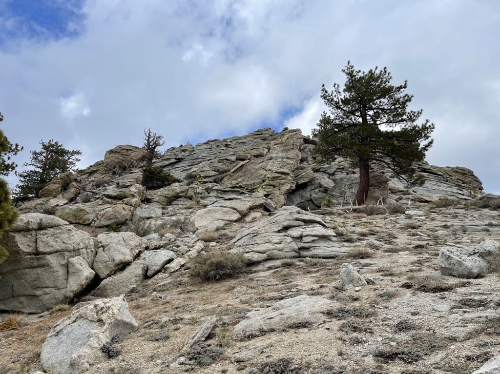
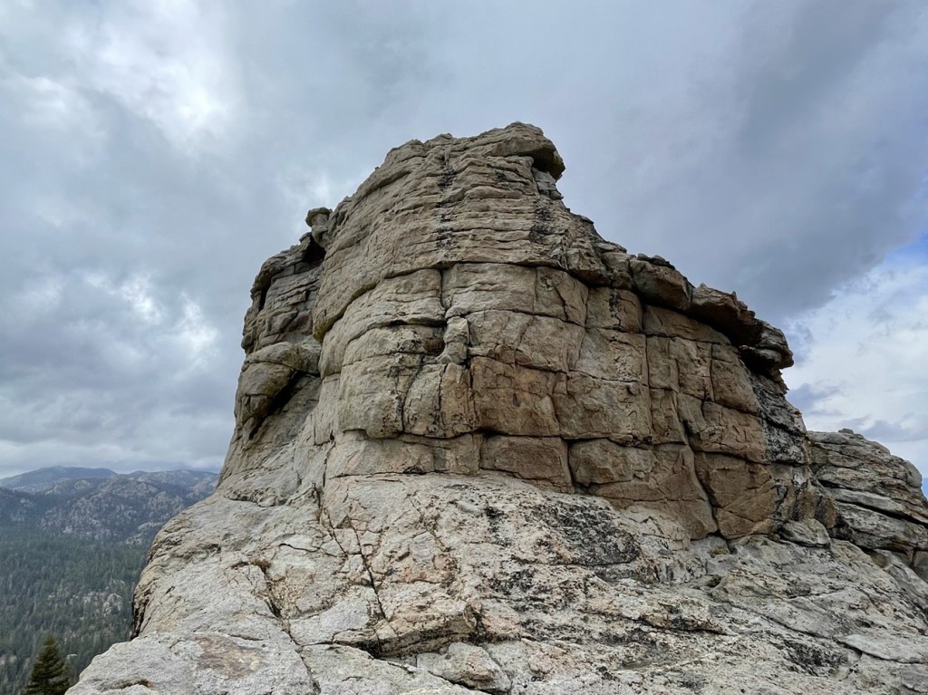
I reached a saddle at 7.1 miles. I left the trail to begin climbing north towards Rockhouse Peak. It would be about 1000 feet in 1.1 miles from here. Note the rocky peak pictured below is not Rockhouse. Rockhouse itself was still hidden from view.
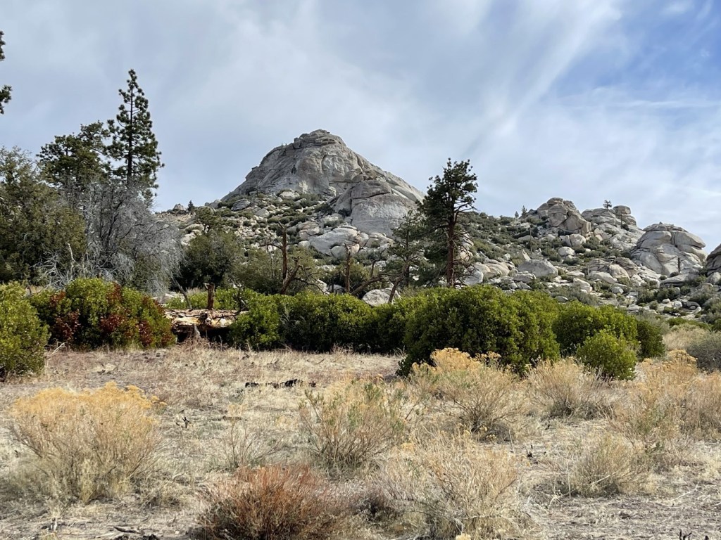
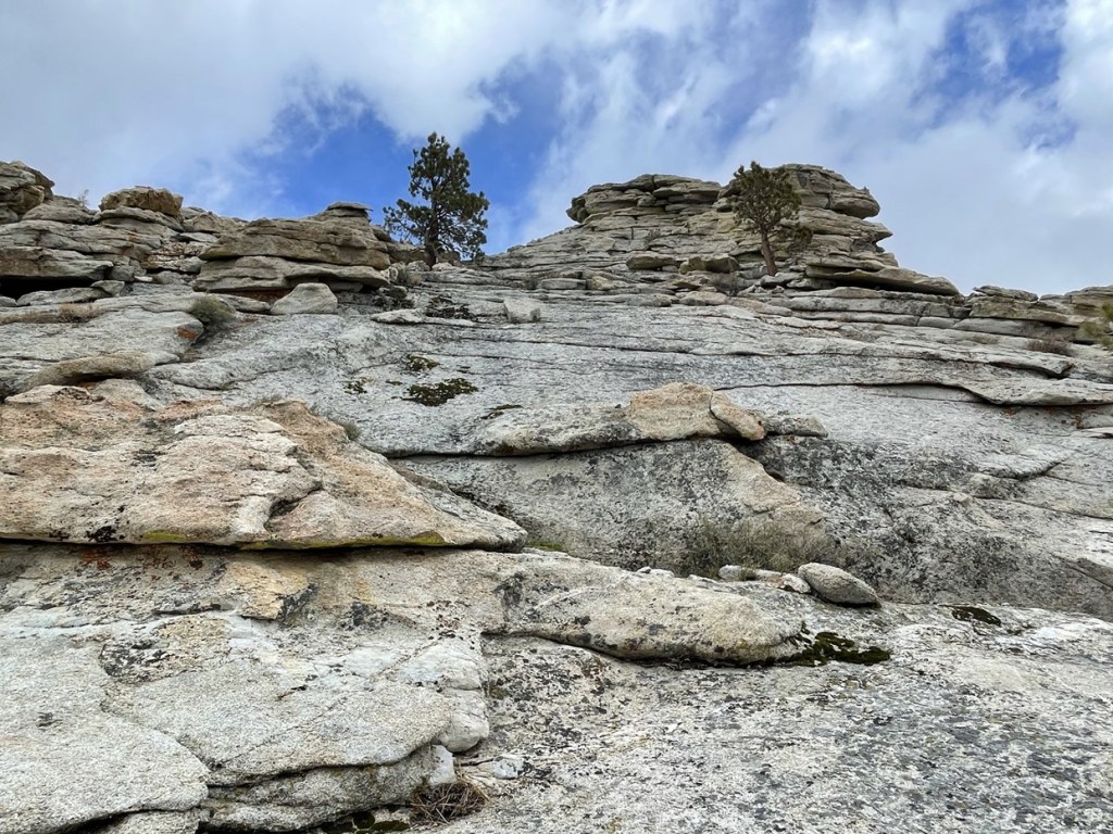
I climbed north through rocky terrain. I stayed to the west of the rocky point pictured above.
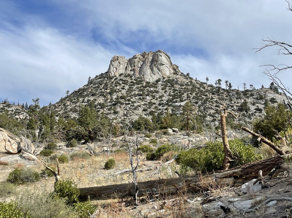
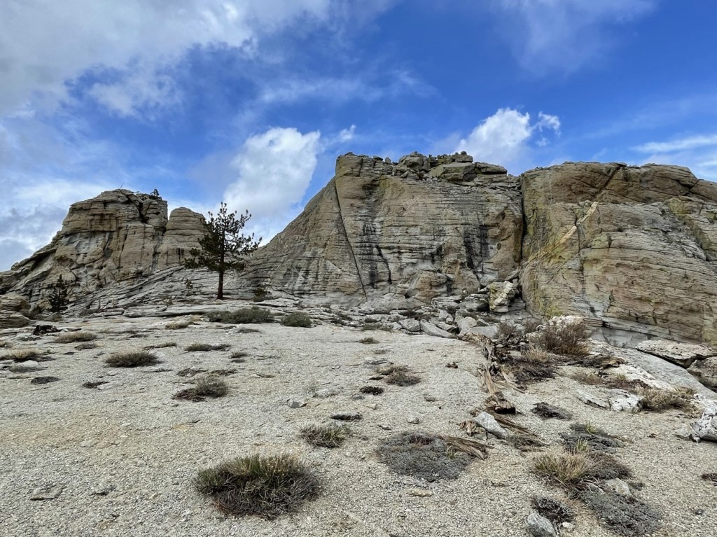
Once I passed the rocky point, Rockhouse Peak finally came into view.
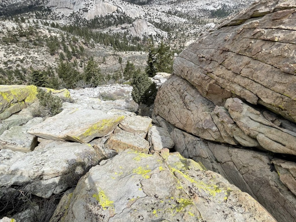
I climbed to the right to approach the summit from the east.
The summit was less imposing from the eastern side.
I left my poles just below the summit block and climbed up a series of ledges. A difficult class 3 move was required to pull myself up.

Once on top of the ledge, I climbed up some slabs to reach the top. The angle wasn’t too bad on this part.

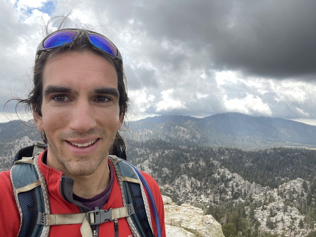
I reached the summit at 9:42am at 8.2 miles!
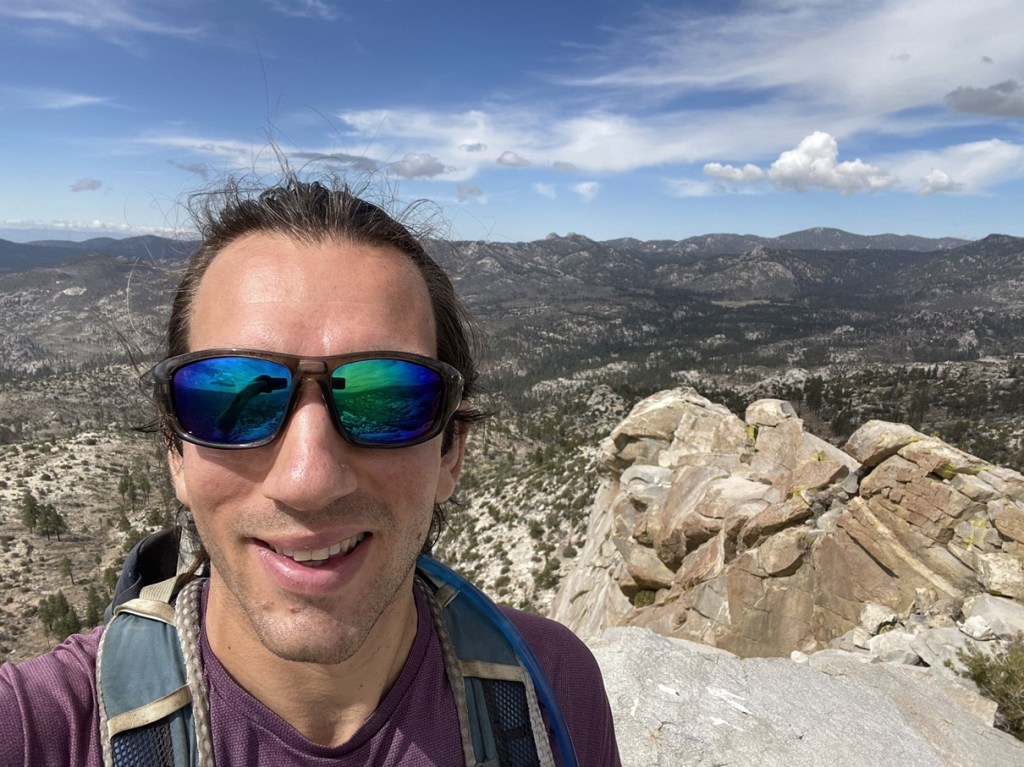
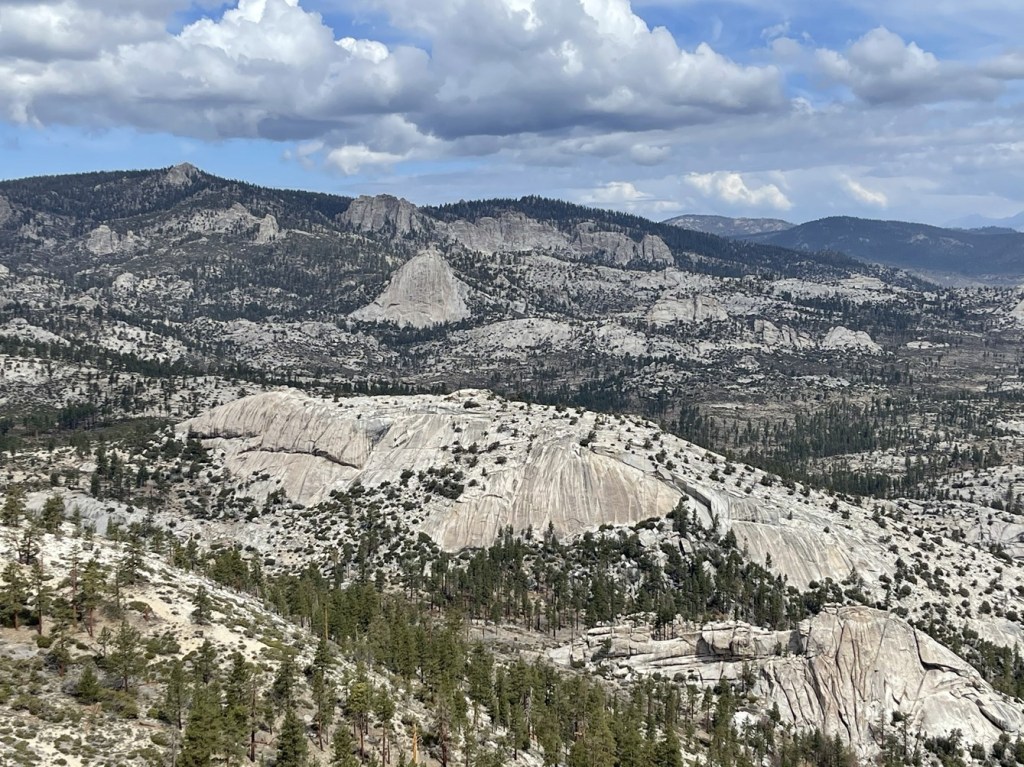
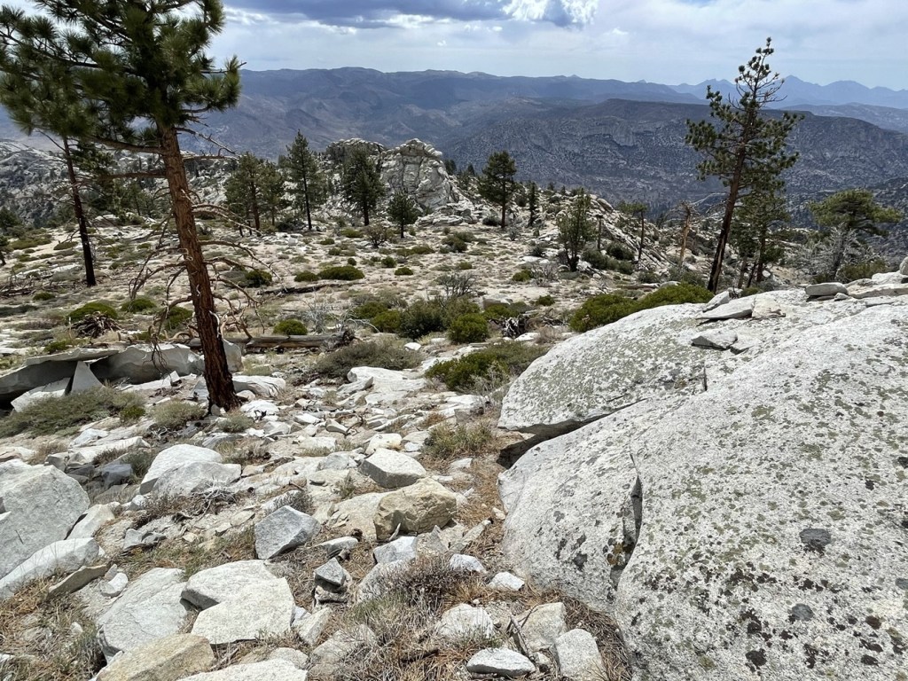
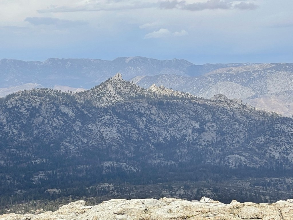
I signed the register which had been placed in 2014. I was surprised to see that a big group had signed in the day before, but the previous ascent before that was in June 2020. I had an excellent view of the Domeland Wilderness, including my next destination, Taylor Dome:
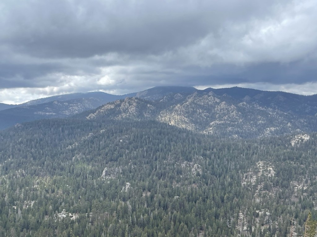
Church Dome:
And countless other granite domes all around me:
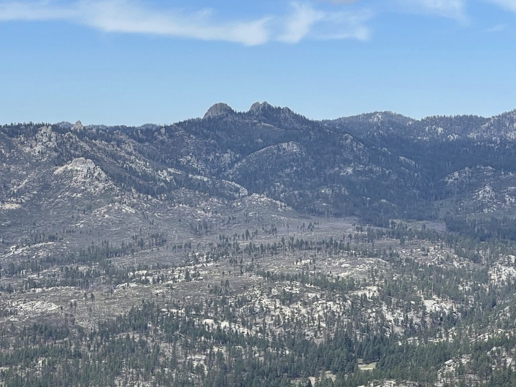
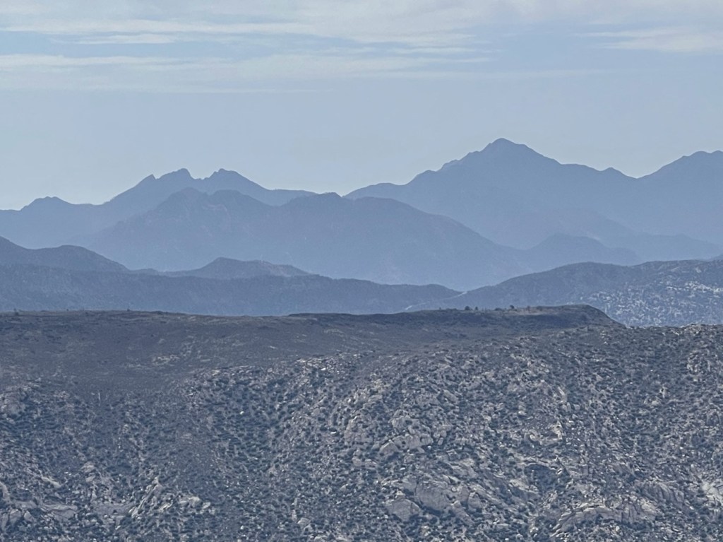
To the east I could see Spanish Needle (left) and Owens Peak (right).
To the north I could see Olancha Peak.
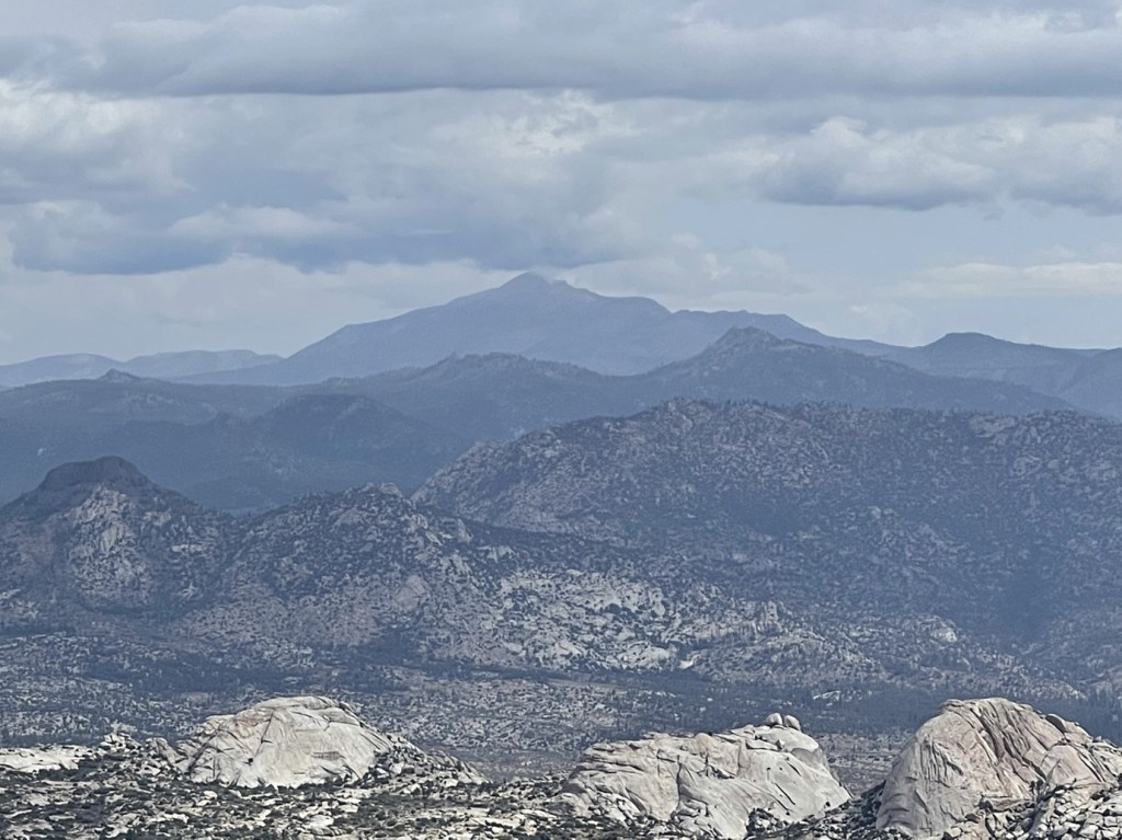
It was too cloudy to see the High Sierra beyond Olancha. I was a little worried with how dark and cloudy it was beginning to look. I took a 20 minute break on the summit and then began descending. I carefully climbed down the slabs just below the summit.
I was able to avoid downclimbing the tricky class 3 section by taking an easier class 2 route to the north.
Since I had left my poles at the base of the ledges on the eastern side, I had to go back and retrieve them once I had climbed down off the northern side of the summit block. I then started making my way south back towards the trail.
I reached the trail again at 9.5 miles. I turned west to begin heading towards Taylor Dome.

It was really starting to look dark as I approached Manter Meadow. I really hoped the rain would hold off. I don’t mind getting a little wet, but Taylor Dome would require some class 3 climbing and I didn’t want to attempt that on wet rock.
I reached Manter Meadow and waved again at the family I had seen earlier. The mother and the dog were out and about now too. I’m guessing they must have still been asleep when I passed through earlier. It began to thunder behind me to the east as I continued around the meadow.
The thunder became more frequent as I continued west. Thankfully, I never saw any lightning flashes. It began to rain on me too. It started as a drizzle and eventually turned into a light rain.

I made the decision to skip Taylor Dome for now and just get back to my car as soon as possible. This weather didn’t seem all that threatening, but an exposed granite dome seemed like an awful place to be during a thunderstorm. It was still early enough in the day that I figured I could wait out the storm in my car and then try for Taylor later in the afternoon. These mountain thunderstorms usually don’t last too long.
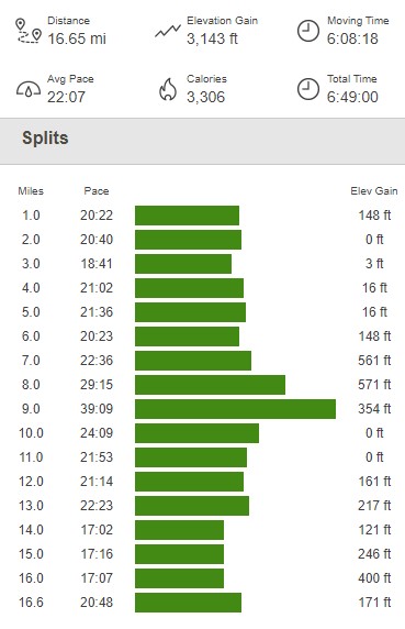
It continued to rain but it never downpoured. The thunder was almost constant, but it was still behind me and seemed to be moving north to south. I reached the car at 1:08pm. I was a little bummed out but not defeated. This hike totaled 16.65 miles, 3143 feet elevation gain, and 6:49:00 total time.
Taylor Dome
I crawled into the back of my car to dry off and wait out the weather. I had some lunch and then actually feel asleep for a little while. I woke up around 2:30pm and was excited to see the sun shining! I quickly got ready and hit the trail as soon as I could. I wasn’t sure how long this weather window would last for, so I wanted to take advantage of it. I started this hike at 2:38pm (from 7838 feet once again). There is actual a separate trail nearby that can be used to access Taylor Dome, so I hiked south on the road for a short distance and then went east.
I hiked east as the trail went gradually uphill. I was happy to find that the ground was pretty much dry. It was cold, but I warmed up as I went along.
I re-entered the wilderness at 0.4 mile.

It started to lightly rain on me again, but by this point in the day I was pretty convinced that it wasn’t going to get any worse. It wasn’t even raining hard enough to get me wet. At 0.7 mile I reached a trail junction and went south. Going north here would have led me to the Manter Meadow Trail I had been on earlier.
I went south up a small hill.
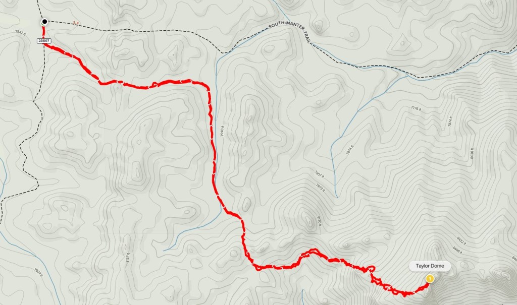
I left the trail at 1.4 mile and hiked east towards Taylor Dome.

The next section involved some side-hilling and a few ups and downs.
I then climbed up a steep sandy slope.

I turned southeast and climbed up to the ridge.
I then had to climb up some low-angled slabs.
I reached the twin summits just above the slabs. The higher summit is on the left.
There was a short class 3 section below the summit.

Almost there!
I reached the summit at 3:45pm at 2.2 miles!
I signed the register which dated to 2016. The previous entry was from October 25. The cloudy weather really obscured my view. I could see Rockhouse Peak just a few miles to the northeast.
To the north I could see Sirretta Peak hidden above the clouds. I planned to climb Sirretta the next day.
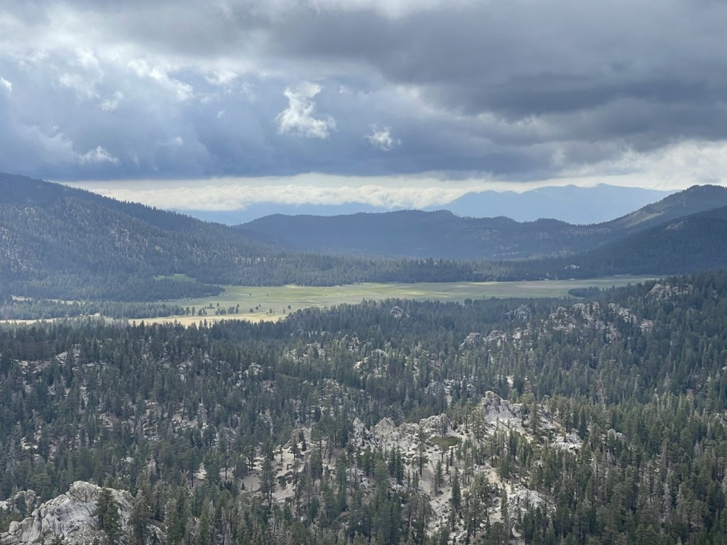
I had an excellent view of Big Meadow to the northwest.
I began the descent after a 20 minute break. I carefully climbed down the class 3 section.

I proceeded back down the slabs.

I retraced my steps down the sandy slope and through the side-hilling section. I eventually reached the trail again at 3.2 miles.
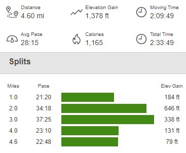
From there, it was an easy hike back to the trailhead. I reached the car again at 5:11pm. This hike was 4.6 miles, 1378 feet elevation gain, and 2:33:49 total time.
I had originally been planning to climb Cannell Peak at the end of the day, but I didn’t have the time or the energy after having to rearrange my hike of Rockhouse and Taylor. I didn’t really care about Cannell though, and I was actually very happy that I managed to get both Rockhouse and Taylor despite some inclement weather. My plan to wait out the weather before doing Taylor really worked out great! I drove north for a few miles and parked at the trailhead for Sirretta Peak. It was a very cold night, but I had a good night of sleep.
