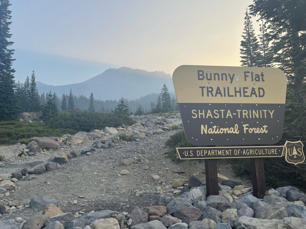
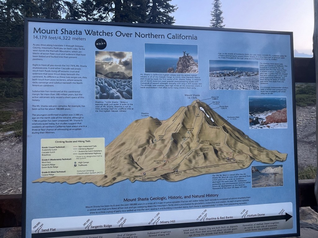
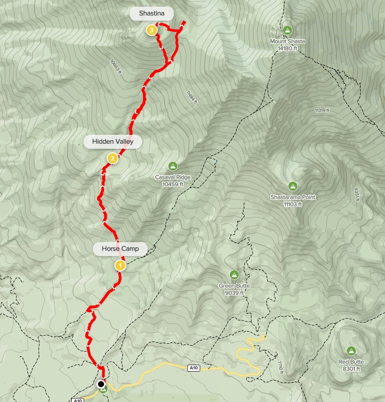
Shastina is a subpeak on the western side of the massive Cascade volcano, Mount Shasta. At 12330 feet, Shastina would be the 3rd highest peak in the Cascades if it were counted as a separate peak (after Mount Rainier and Mount Shasta itself). It does have 450 feet of prominence, but the peak is rarely climbed except as a side trip for those climbing Mount Shasta. I intended to climb Mount Shasta the following day via the Clear Creek Route, so I thought Shastina via the Cascade Gulch route would make a good warmup. The trailhead for this route is Bunny Flat, which is the same trailhead as the popular winter route for Shasta, Avalanche Gulch. I had camped the night before on Sand Flat Road, which is near Bunny Flat and contains many good pullouts to park for the night. There are 2 different permits needed for climbing on Mount Shasta. The first is a free wilderness permit. You simply fill out your information in a little book and take the carbon copy with you. The second is a $25 summit pass, which is required for climbing about 10000 feet on Mount Shasta. Thankfully, the pass is good for 3 days so I wouldn’t need a separate one for the next day. Both permits are self-issued at the trailhead. The third thing you need is a bag for solid waste. All they provide is a doggie bag, so I’d recommend bringing something a little sturdier if you want to. I began my climb of Shastina at 6:47am from 6871 feet above sea level. It was 51 degrees.
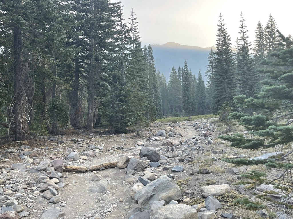
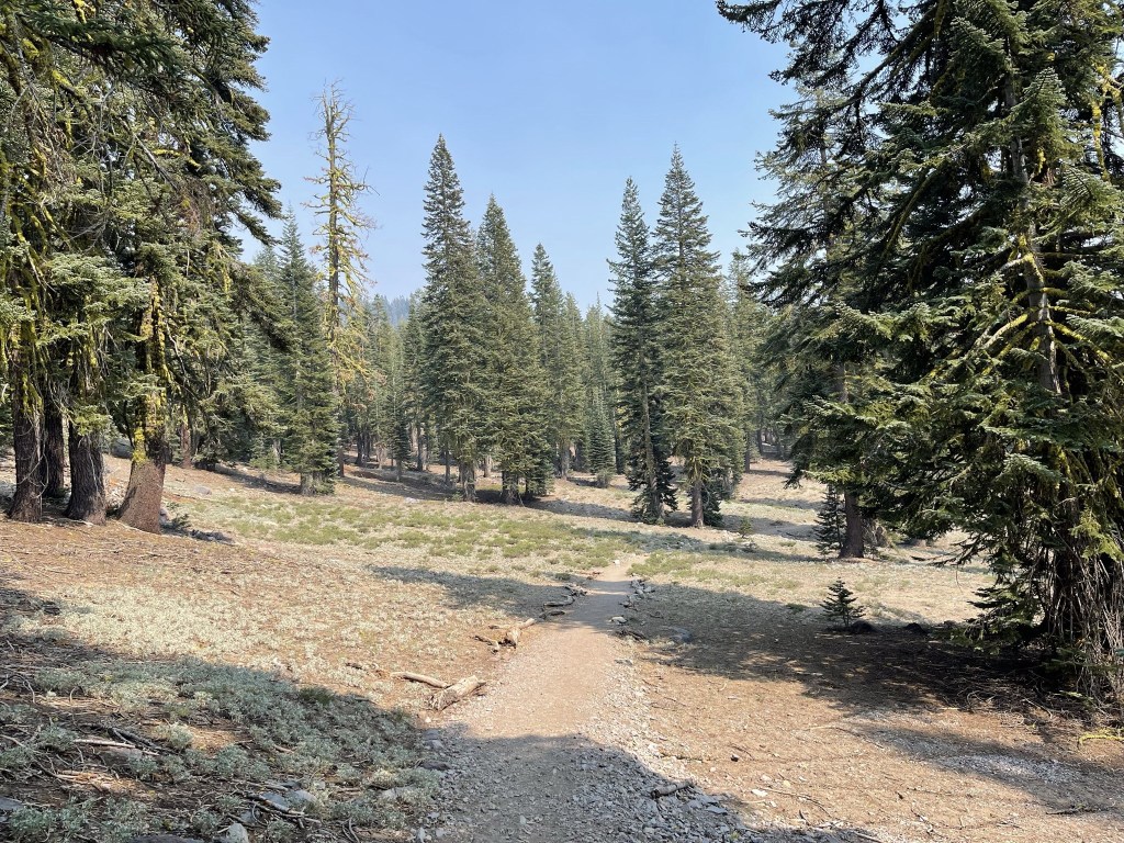
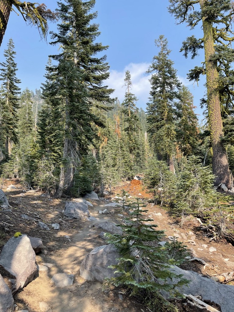
I hiked north on a nice sandy trail away from the parking lot. Mount Shasta loomed large in the distance. Shastina was not yet visible.
At 0.2 mile I went left at a trail junction towards Horse Camp.
It was a chilly morning but definitely warmer than what I had experienced in Central Oregon.
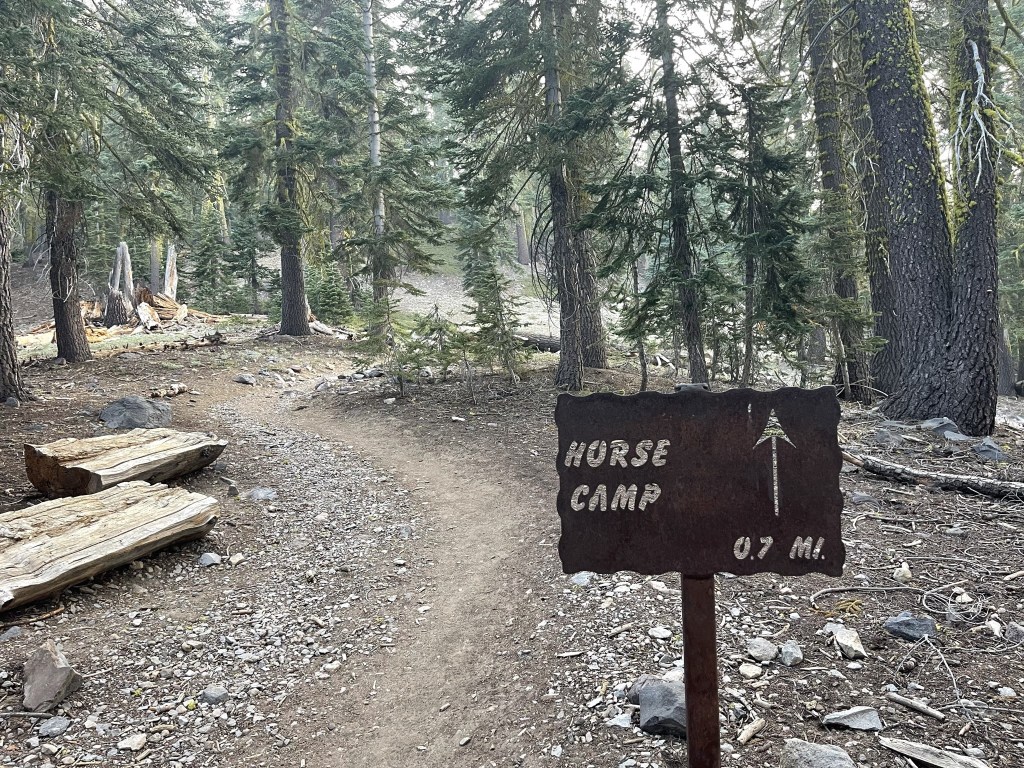
At 0.5 mile I passed a junction for Sand Flat. I went right to continue to Horse Camp.

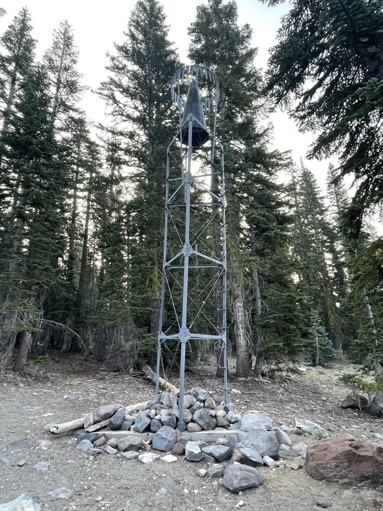
At 0.9 mile I passed a small tower.
At 1.1 mile I passed another junction for Sand Flat. Again, I stayed right to continue to Horse Camp.
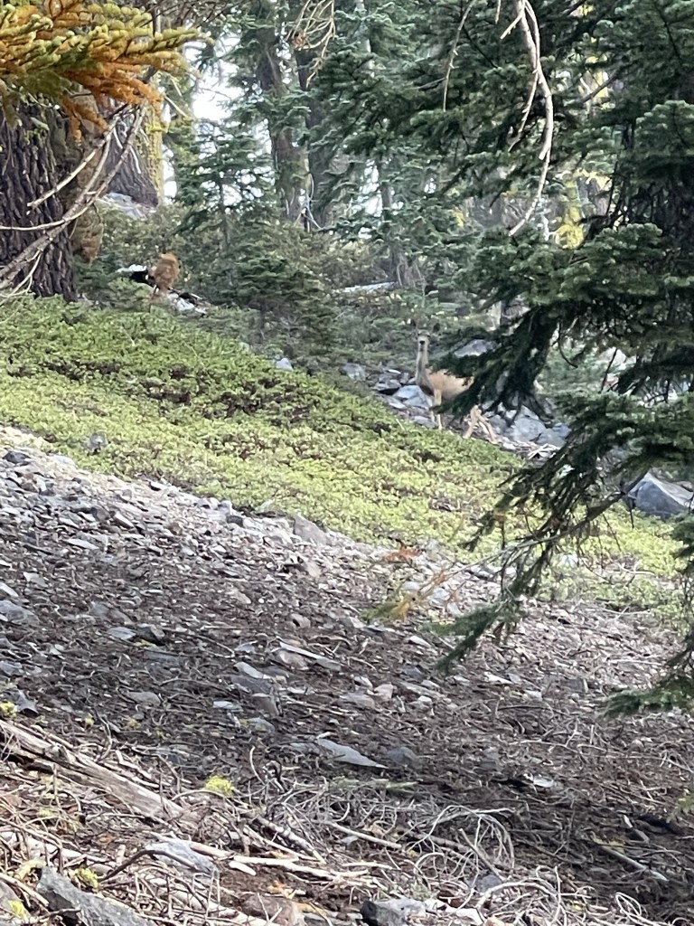
At 1.3 mile I saw a deer.
Shortly after that I entered the Mount Shasta Wilderness.

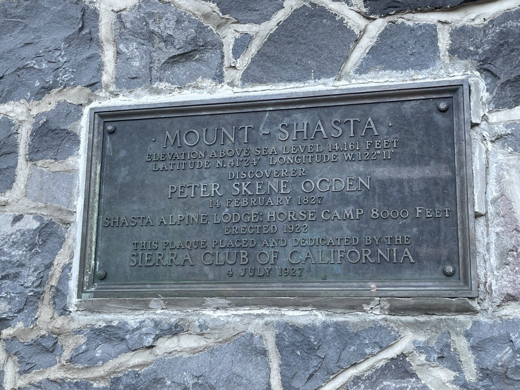
I saw many of these signs on trees along the trail. There is an old alpine hut at Horse Camp that I think the Sierra Club Foundation owns.

To my right I could see Avalanche Gulch, the popular climbing route up Shasta.

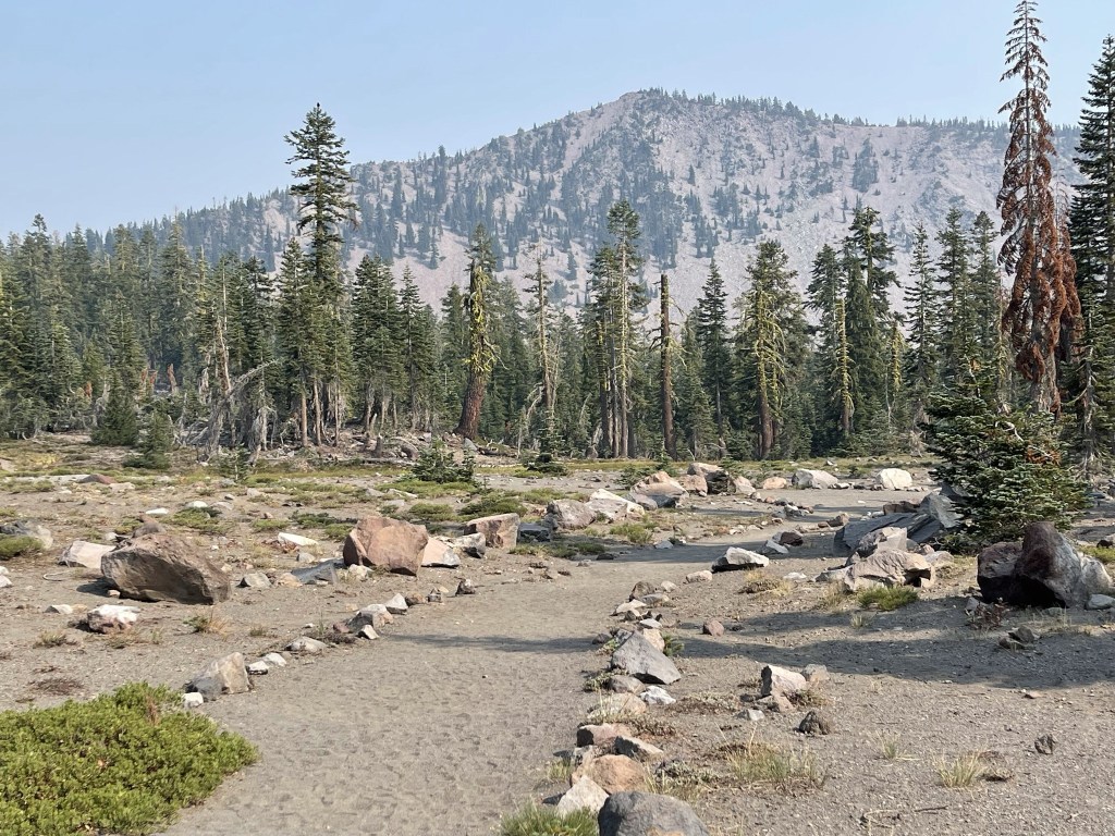
At 1.8 miles I reached Horse Camp. I had gained about 1000 feet up to this point, so the elevation gain had been fairly gradual. There is spring water and some backcountry campsites in this area, but I only saw 1 tent this morning.
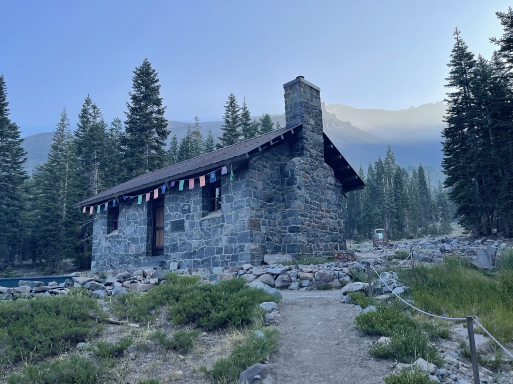
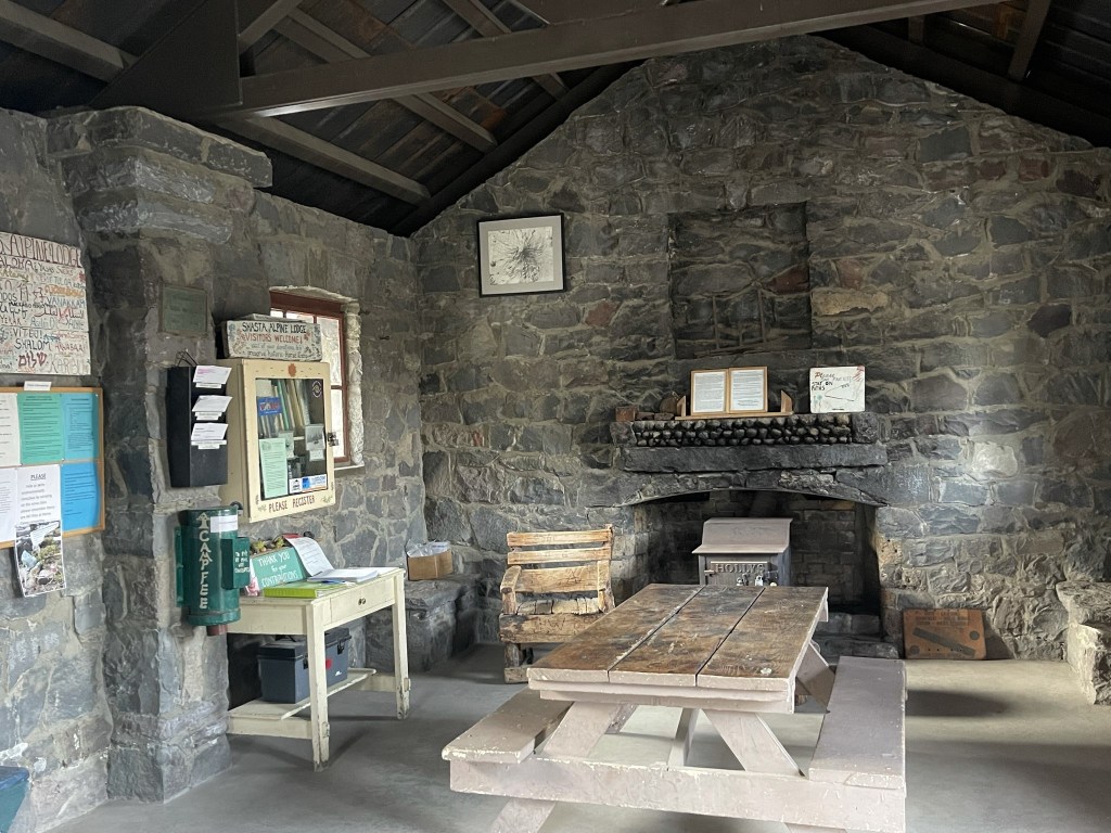
I explored the inside of the hut briefly.
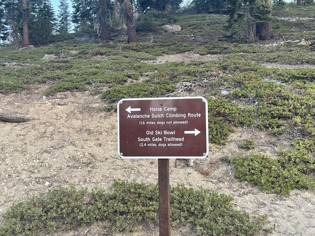
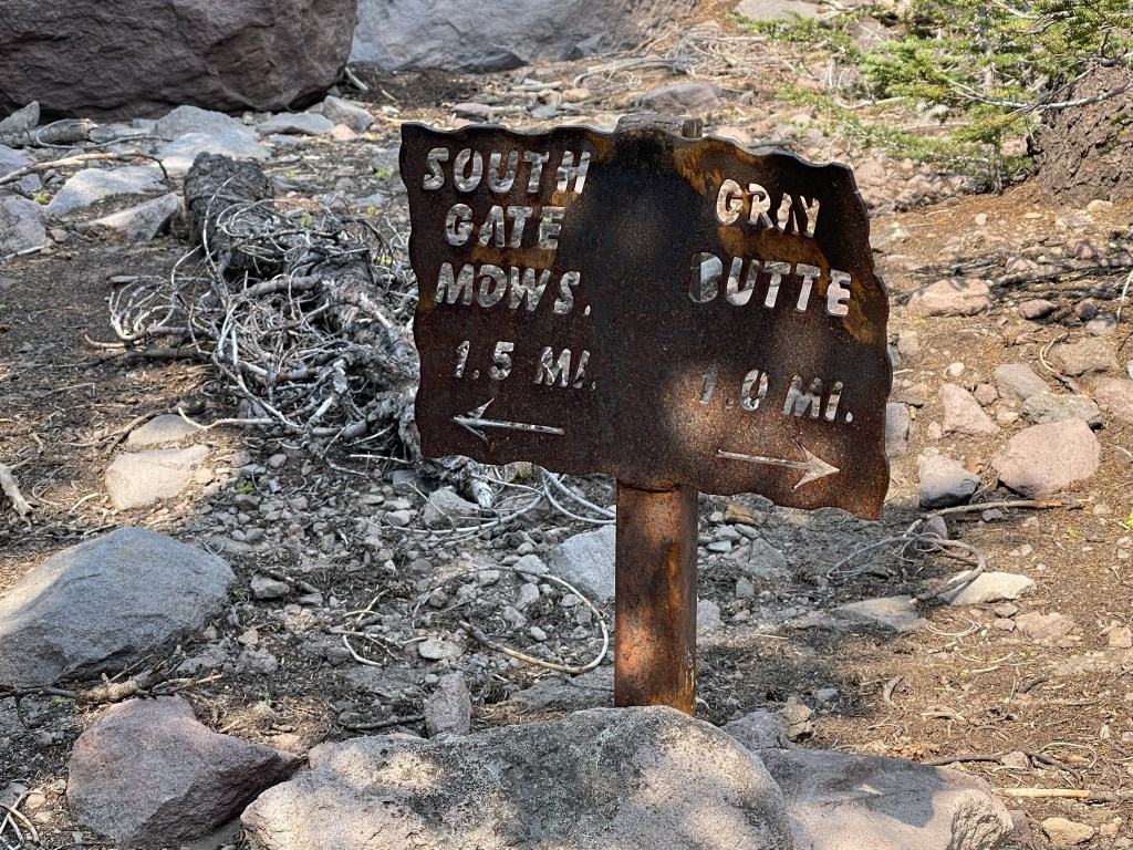
This is where the Avalanche Gulch and Cascade Gulch routes split up. The Avalanche Gulch route heads northeast from here, while the Cascade Gulch heads more directly north towards the saddle between Shasta and Shastina. The Cascade Gulch route first goes through Hidden Valley.

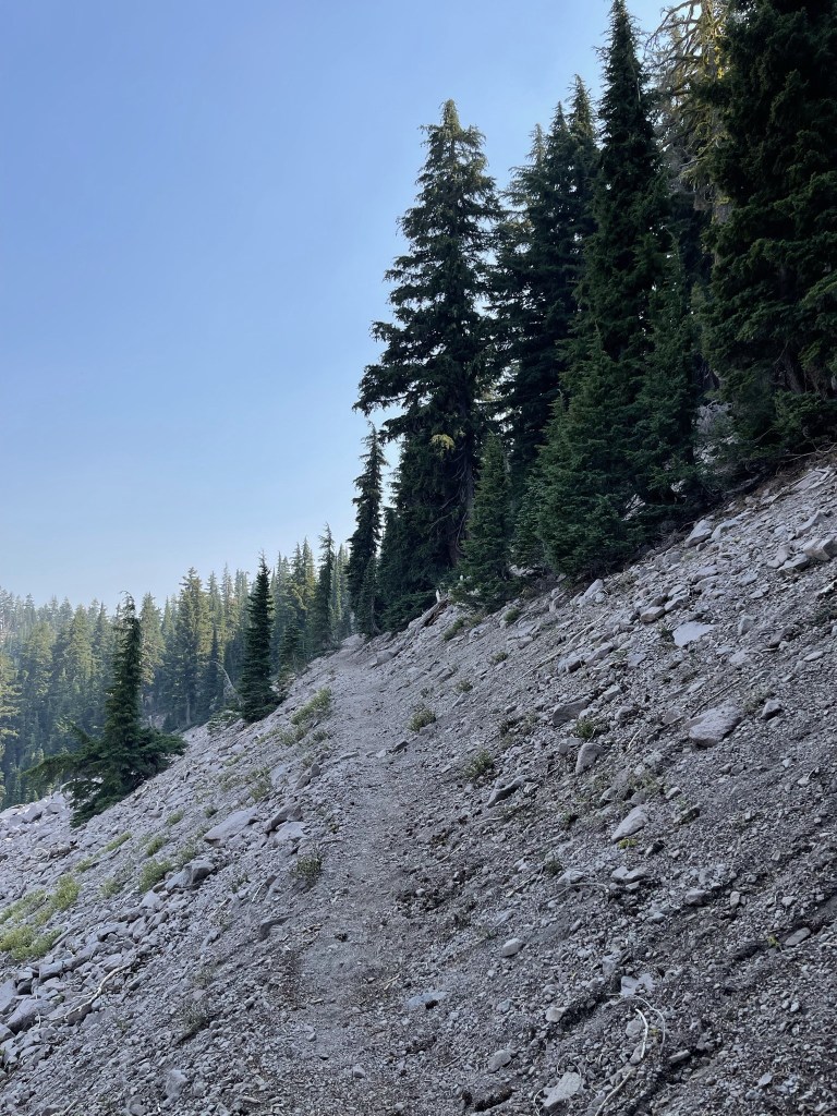
The trail was steeper and narrower beyond Horse Camp.
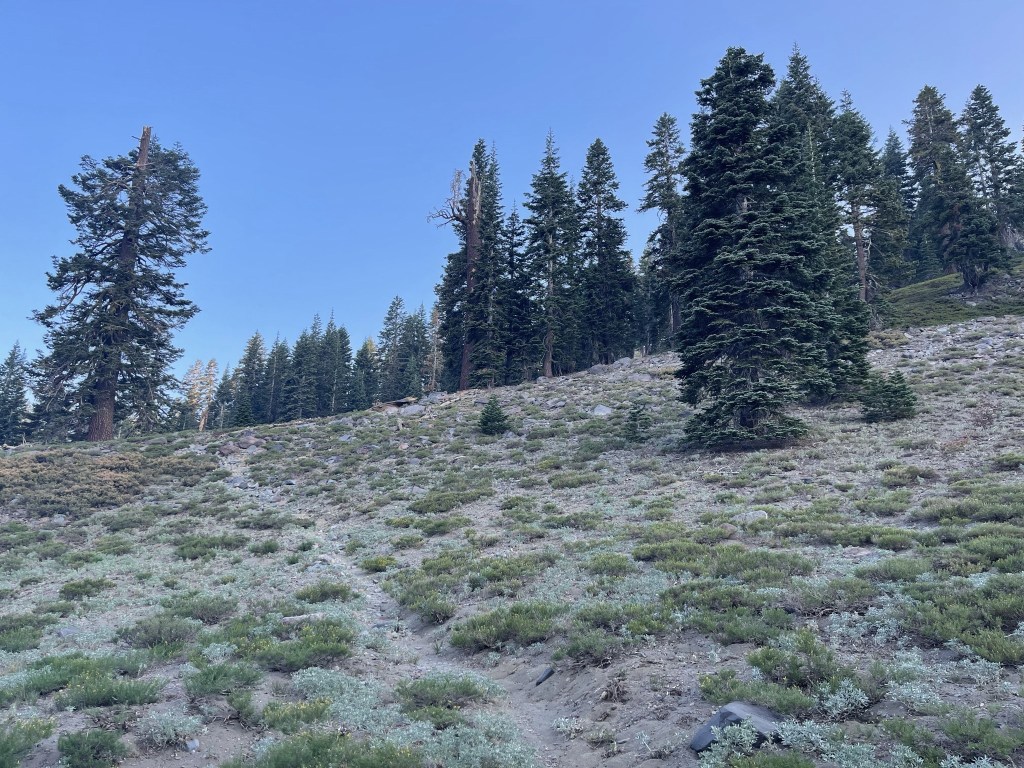
I hiked northwest as the trees began to thin out around 8400 feet.

The trail was much more vague among the rocks. There were some cairns to help guide the way.
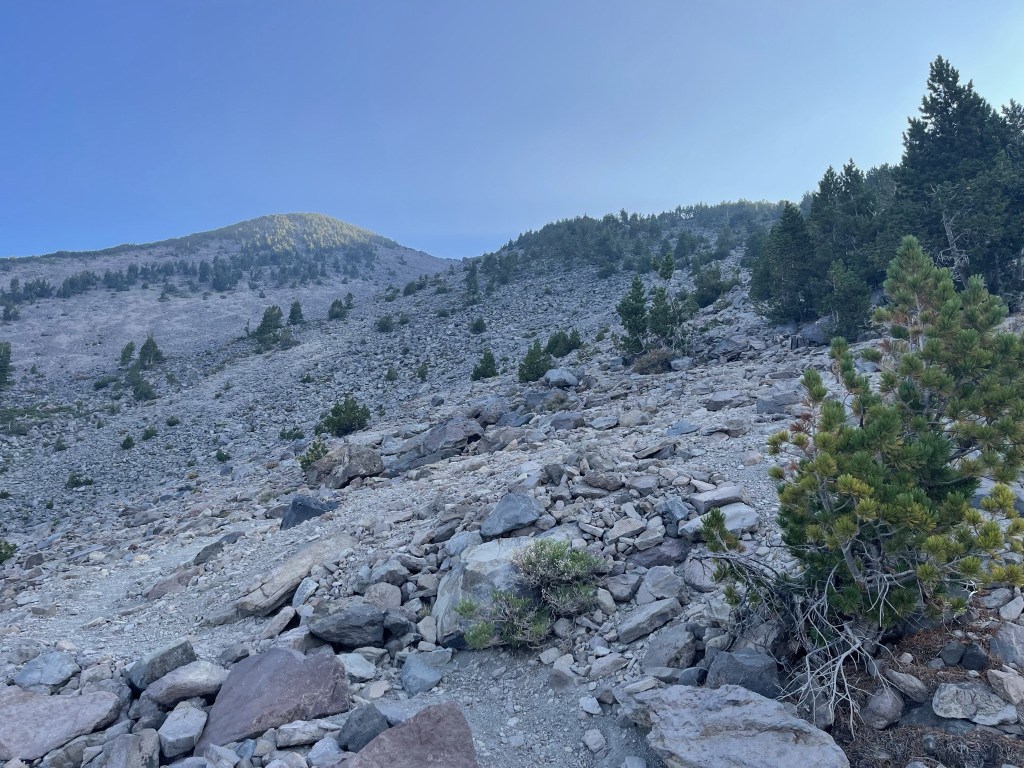
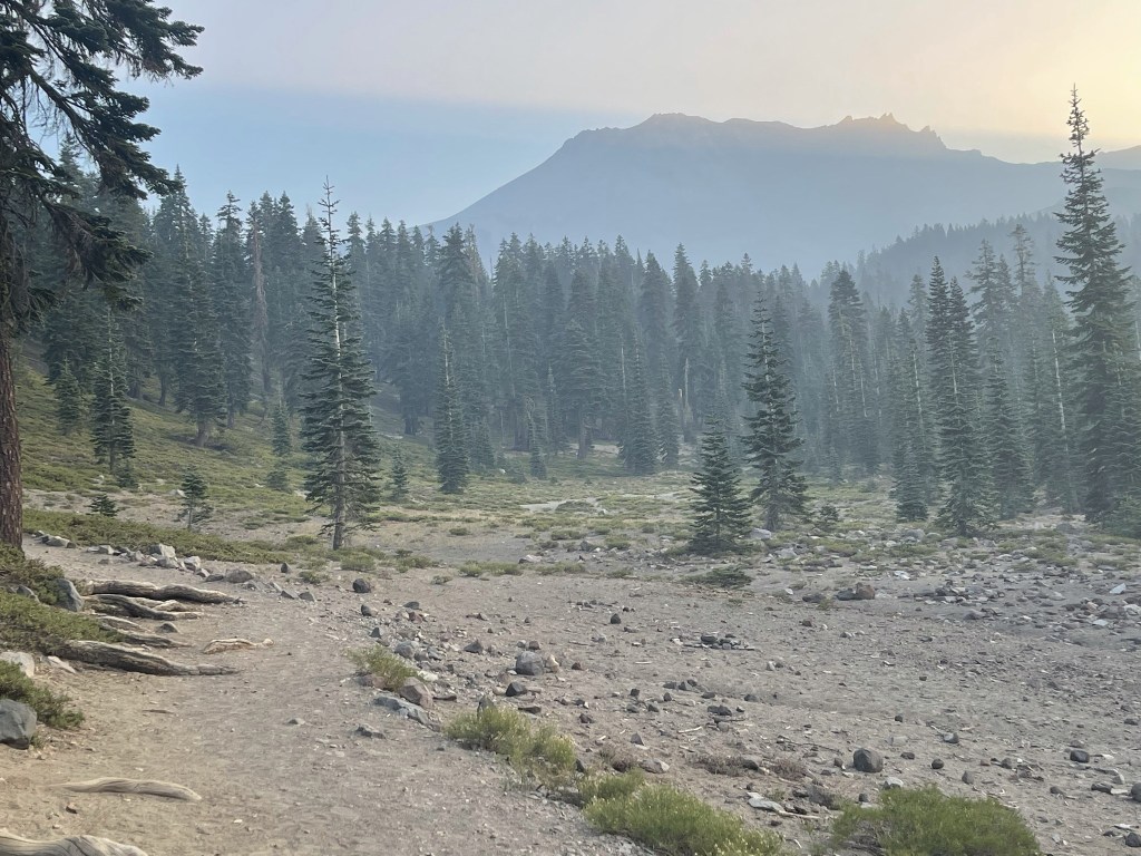
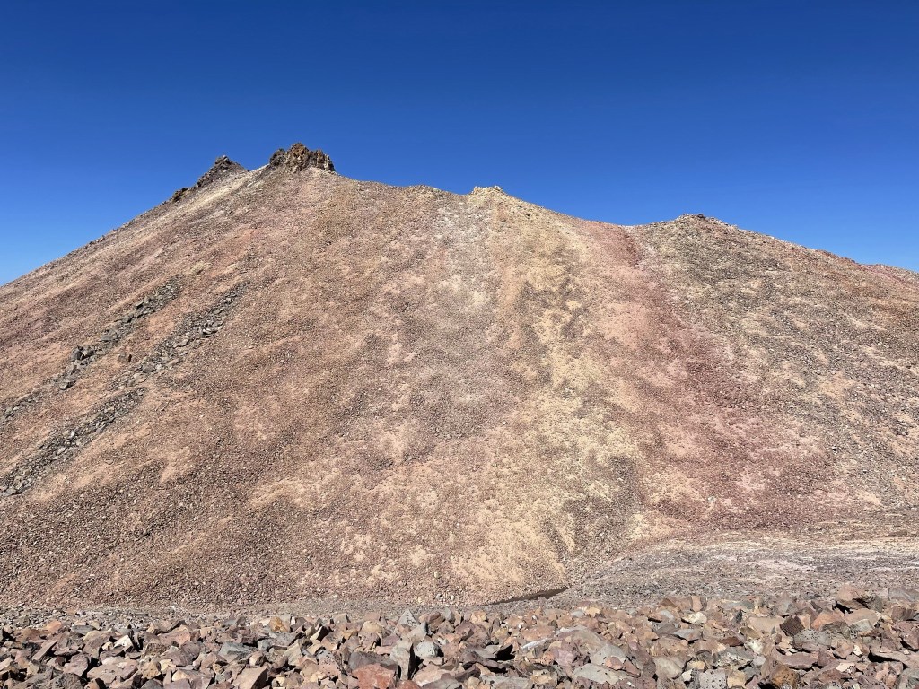
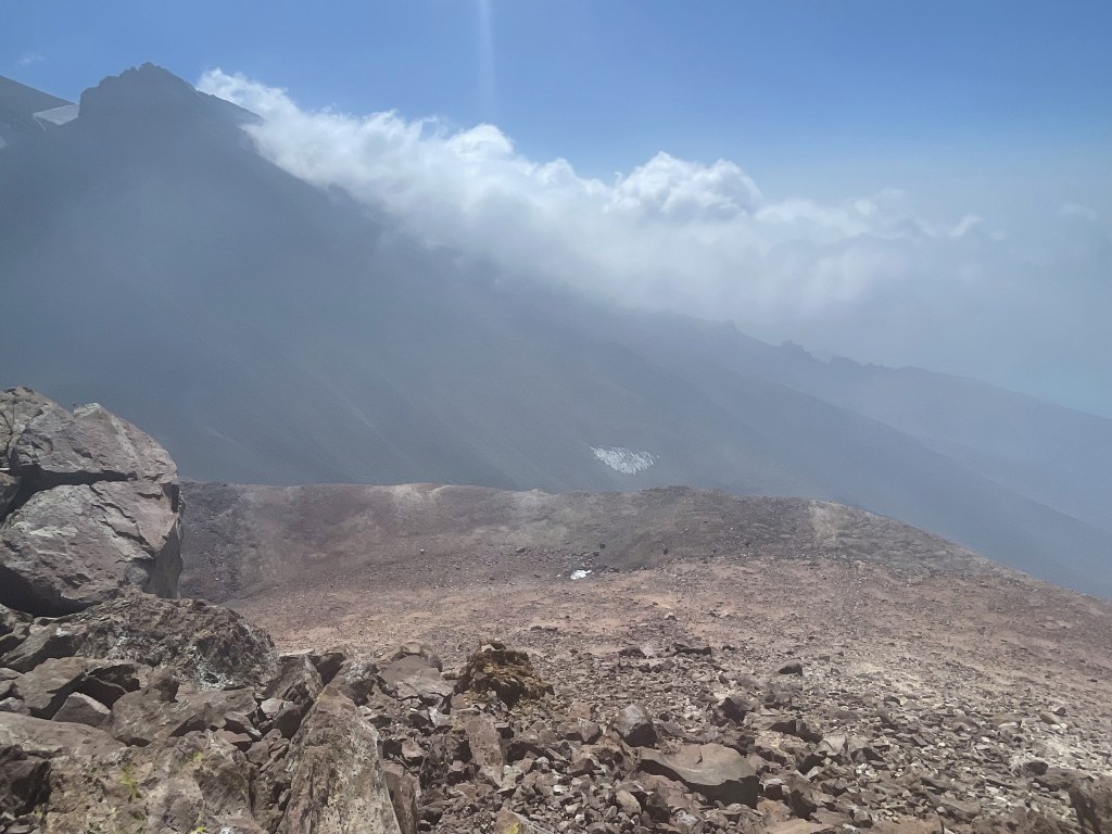
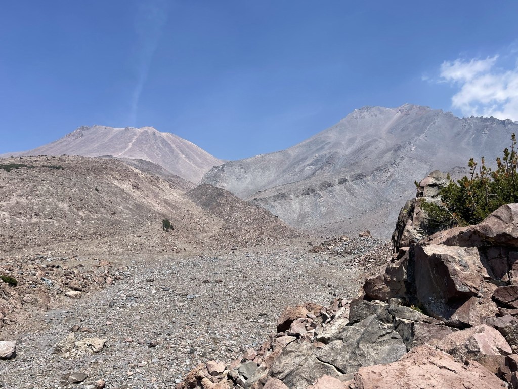
I got my first look at Shastina in the distance (left).

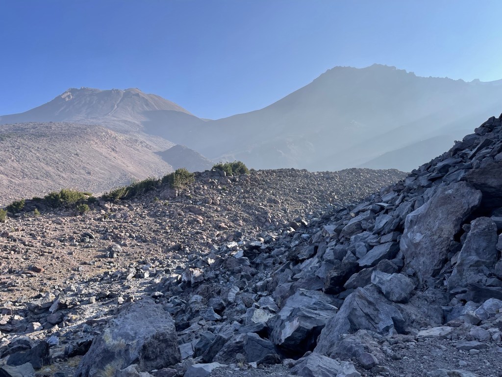
I reached Hidden Valley at 3.3 miles at 9200 feet. Shastina is on the left and Shasta is on the right.
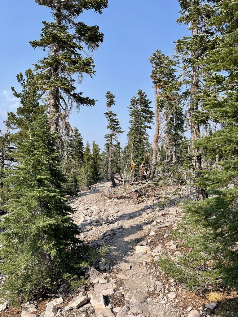
This is where I hit the tree line and also where the trail ended. I made my way north up Cascade Gulch.
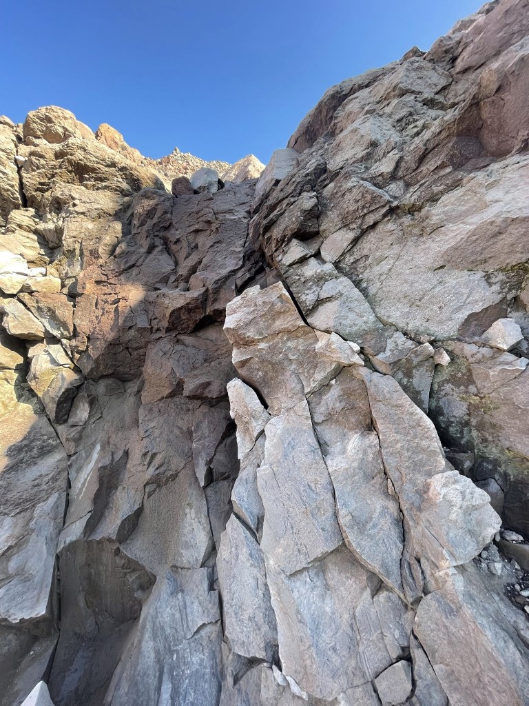
At 3.7 miles I climbed up a small, but steep chute.
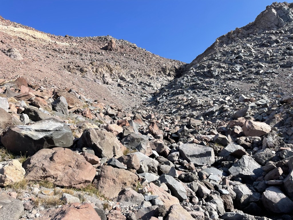
There was one dry fall I had to bypass on the right.
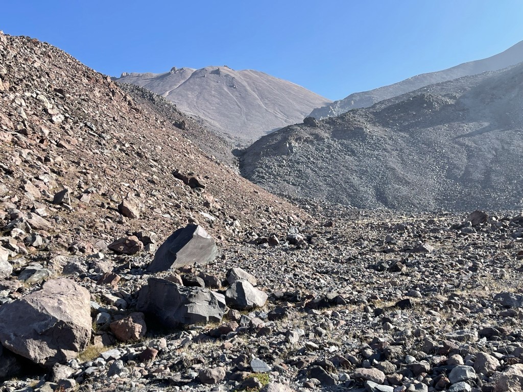
The terrain leveled out again after the chute.

I continued climbing up the gulch.

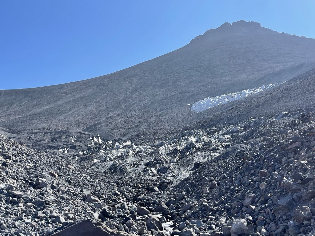
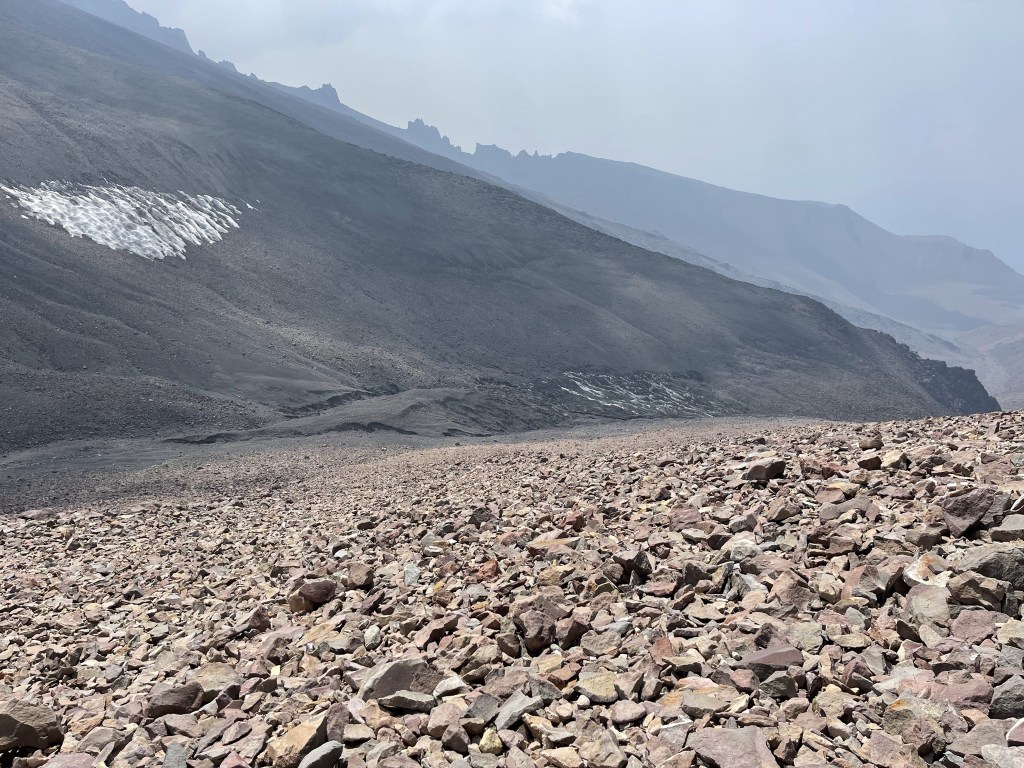
The route became much steeper again around 10200 feet. I started to notice some ice in the gulch.

The gulch reminded me of a desert wash, except for the ice. There was more and more ice as I ascended.

I kept climbing higher.

The gulch contained a half frozen stream as I climbed higher. I had to climb to the left or right of the gulch to avoid the really icy sections.

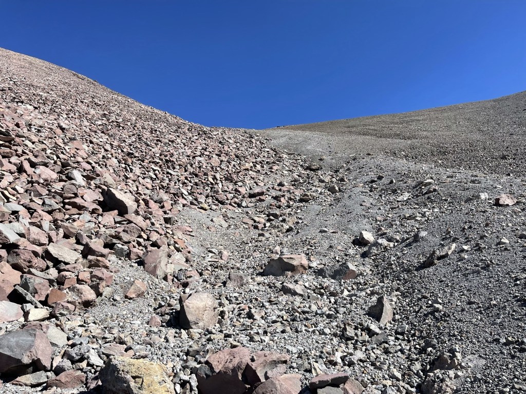
The terrain leveled out again around 11000 feet.
I passed the small glacier that was feeding the stream.

I continued climbing north, the way forward now dry.
It was steep but the mountain was surprisingly solid, especially compared to some of the Sierra peaks I had climbed recently. At 5.1 miles I reached the saddle between Shasta and Shastina at 11857 feet. This is looking east towards Shasta, still over 2000 feet above:

Before continuing to Shastina I made a short descent north to 2 small lakes I saw from the saddle. The topo map only shows 1 lake and labels it Sisson Lake. I reached the first lake at 5.2 miles. The surface of the lake was half frozen.
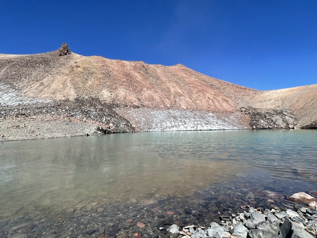
I reached the second lake at 5.3 miles. The turquoise color of the water was very beautiful.

I could see the glacier melt feeding the lake.

I took a short break to enjoy the beauty of the lakes and then returned to the saddle to make the final climb.

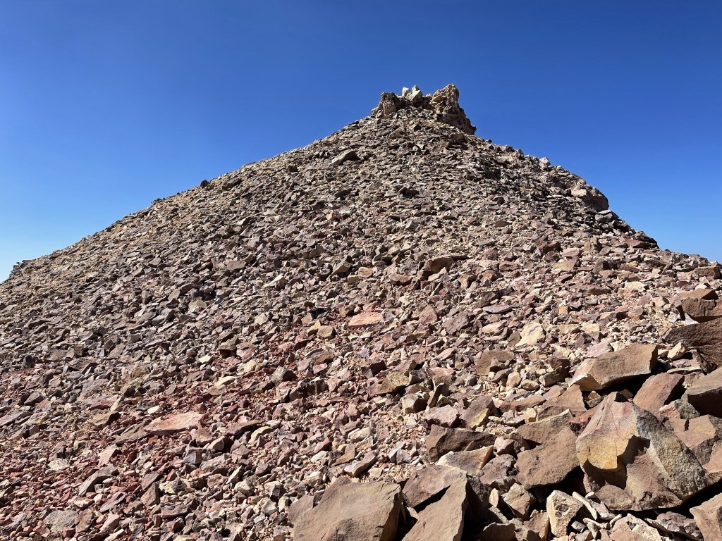
I reached a crest, and the true summit came into view.
I descended briefly towards a small glacier.

I then made the final ascent.
I passed to the left of a rock outcrop near the summit.
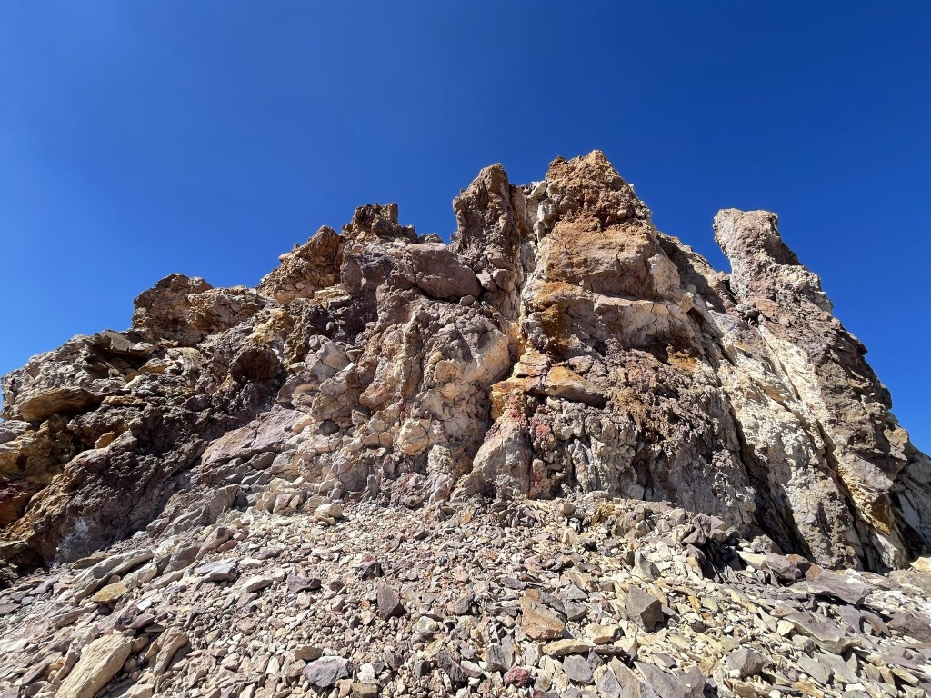
Almost there!
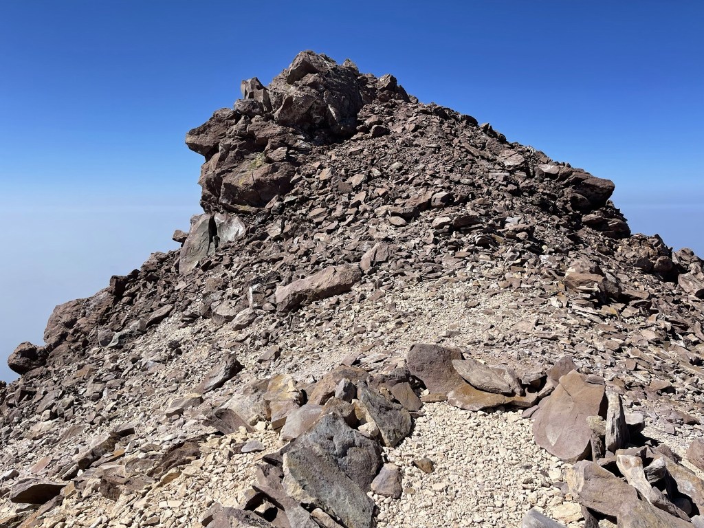
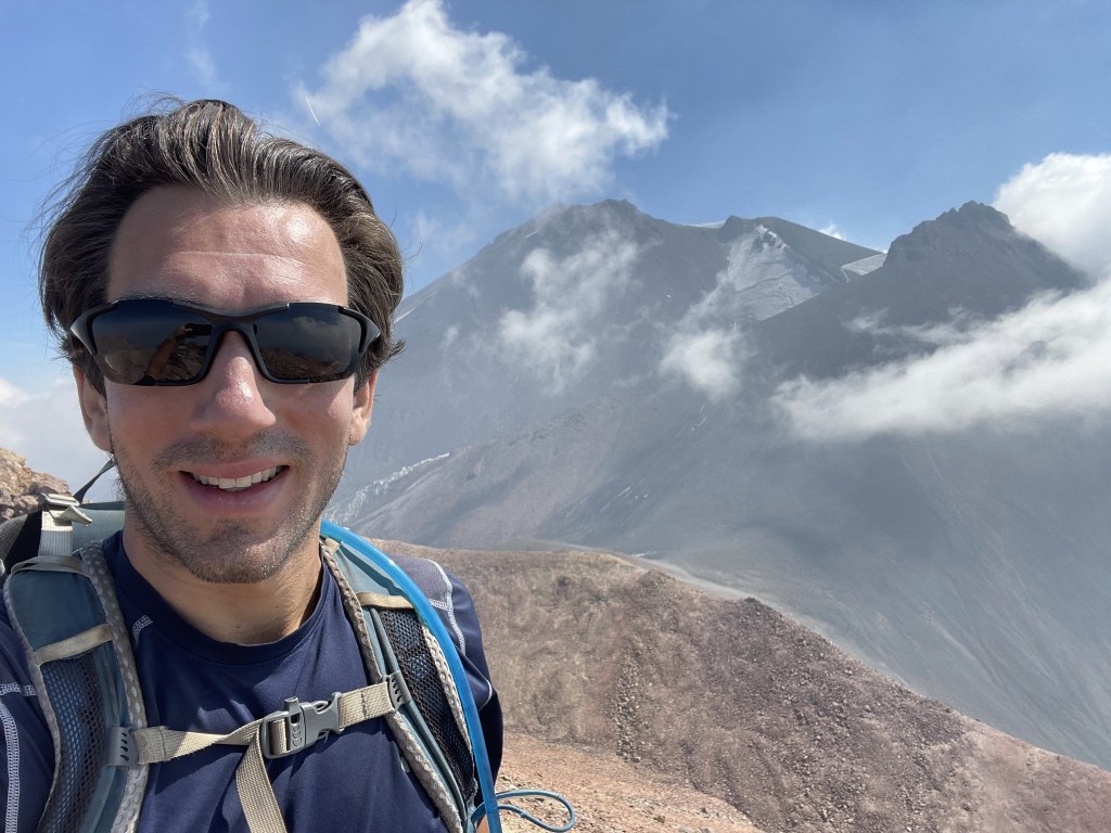
I reached the summit at 11:19am at 5.9 miles!
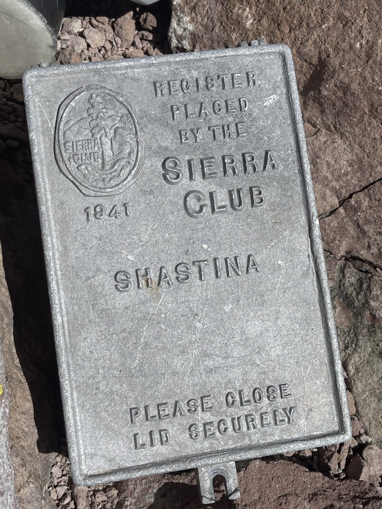
I signed the register which was placed inside a metal container that looked like it could survive the apocalypse. The register was placed in June 2019 and was most recently signed on August 15. There were a few older register books as well.
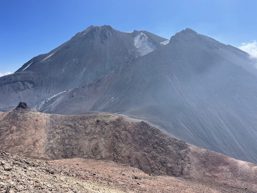
It was too smoky to be able to see the surrounding mountain ranges, but I had a great view of Shasta 1800 feet above me to the east.
Close up:

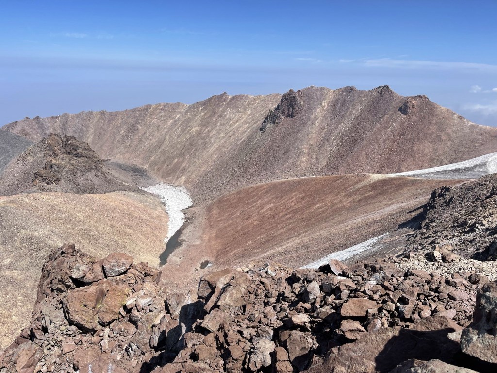
To the north I could see Clarence King Lake inside the summit crater.
The smoke was starting to get worse so I didn’t stay on the summit as long as I would have liked.
I was surprised at how warm it was on the summit. The forecast called for mid 40s and wind on the summit, but I was comfortable in a T shirt. I began descending just before noon. I decided to take a more direct route to the south rather than descend back to the saddle. I reached a small pool at 6.1 miles. At 11980 feet, this is apparently the highest lake in the Cascades (I’m sure it’s a little more impressive earlier in the season).

I then made a steep descent down the rocky slope towards Cascade Gulch.
I reached the gulch at 6.4 miles. The water was now thawed so it was a bull blown stream. This made it easier to navigate since I didn’t have to avoid the ice.

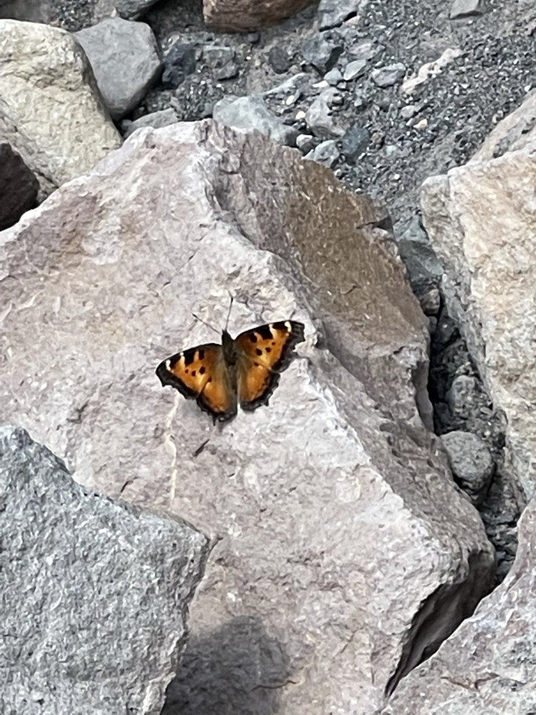
I found a pretty butterfly on the way down.
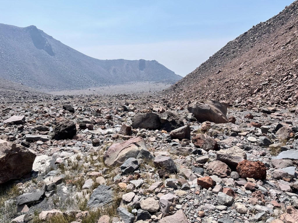
I reached Hidden Valley again at 7.7 miles. The smoke was definitely worse than in the morning.
I still had a nice view of Shasta and Shastina.
At 8 miles I reached the trail down to Horse Camp.

The smoke seemed to clear a little bit as a I descended. I passed a family of 4 day hiking to Hidden Valley at 8.7 miles. At 9.4 miles I reached Horse Camp again. I chatted with a lady there who said she was a Mount Shasta local. She was impressed when I told her I had climbed Shastina, and she also informed me that the entire national forest (as well as other national forests in Northern California) would be closing at the end of the weekend due to the extreme wildfire danger. I felt lucky the closures wouldn’t affect my trip at all.
From Horse Camp it was an easy hike back to the car. I reached the trailhead at 3:27pm. This hike totaled 11.21 miles 5476 feet elevation gain, and 8:39:16 total time.

Gray Butte
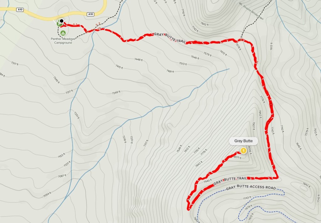
I still had a little time left in the day, but I also wanted to conserve my energy for Mount Shasta tomorrow. I decided to climb 8108 foot Gray Butte, which was nearby and wouldn’t be too long of a hike. I drove about 2 miles east to the Panther Meadow Trailhead and parked there. I began this hike at 4:09pm from 7443 feet above sea level.

There were some walk-in campsites near the parking lot. I could see Gray Butte in the distance almost immediately.
I passed a trail junction at 0.1 mile. I went right towards Gray Butte.

I hiked east through the forest.
At 0.6 mile I went right at another trail junction.
The trail turned south as it ascended the backside of Gray Butte.
The trail turned west and then north as it neared the summit.
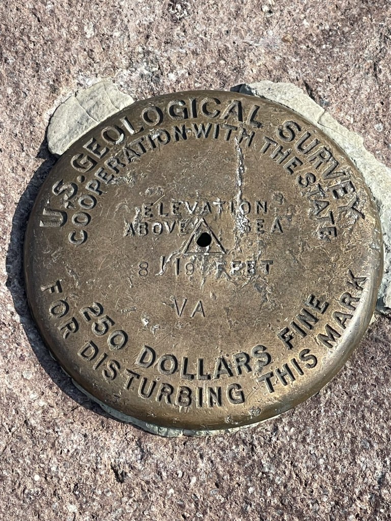
I reached the summit at 4:49pm at 1.7 miles! I located a benchmark.
The view of Mount Shasta was fantastic. Shastina was not visible from this angle.
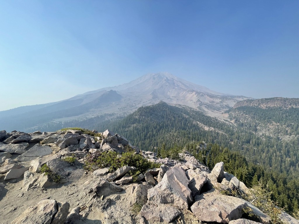
Close up:

I returned the same way I ascended. I reached the car at 5:32pm. This hike totaled 3.41 miles, 705 feet elevation gain, and 1:22:47 total time.

I drove into town and got something to eat. I then drove around to the southeast side of the mountain to the Clear Creek Trailhead, where I planned to start the next day for my climb of Shasta. It was a long dirt road drive to reach the trailhead. I relaxed for a bit when I finally got there and then had a good night of sleep.
