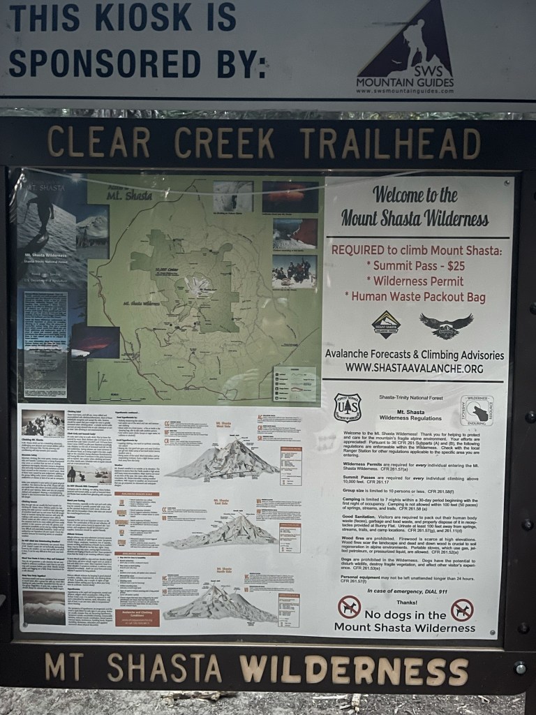
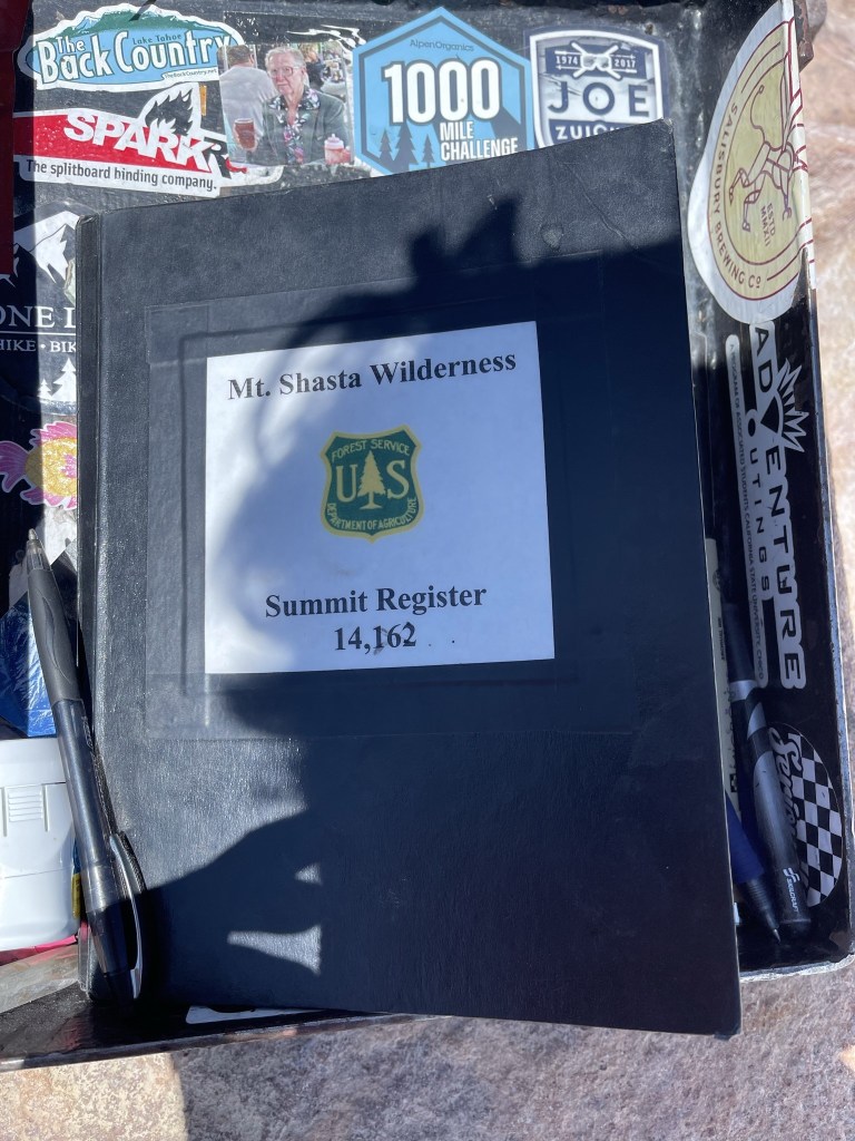
Mount Shasta is the northernmost and 5th highest of California’s 14ers. At 14162 feet, it is the second highest mountain in the Cascade Range, behind only Washington’s Mount Rainer. It is one of only three 14ers in the contiguous United States not part of the Rocky Mountains or Sierra Nevada (Mount Rainer and White Mountain Peak are the other two). With a ridiculous prominence of 9762 feet, it is the 3rd most prominent peak in the contiguous United States (behind Mount Rainer and Mount Whitney). I had been wanting to climb the mountain for quite some time, and I finally had a chance at the end of a 10 day road trip that took me all the way through California and up into Central Oregon. I arrived in the Mount Shasta area 2 nights prior and climbed Mount Shasta’s most prominent satellite cone, Shastina, the previous day. I would be taking the Clear Creek Route, which is the least technical route popular in the summer when the snows have melted. It ascends the southeastern side of the mountain up relatively gentle slopes of gravel and talus. There are 2 different permits needed for climbing Mount Shasta. The first is a free wilderness permit. You simply fill out your information in a little book at the trailhead and take the carbon copy with you. The second is a $25 summit pass, which is required for climbing about 10000 feet on Mount Shasta. Thankfully, I had already purchased one the previous day for my climb of Shastina, and the pass is good for 3 days. Both permits are self-issued at the trailhead, so no need to plan in advance (except to make sure you have cash with you). The third thing you need is a bag for solid waste. All they provide is a doggie bag, so I’d recommend bringing something a little sturdier if you want to. The Clear Creek Trailhead is a bit of an adventure to get to, requiring a fairly long dirt road drive from Highway 89. The roads back there are a bit of a maze, but Google Maps got me to the trailhead no problem. I arrived the night before and slept in my car so I could get an early start. There were 6 other cars there which surprised me a little since I thought there would be more climbers out on an August Saturday. I woke up early and began hiking at 6:11am from 6550 feet above sea level.
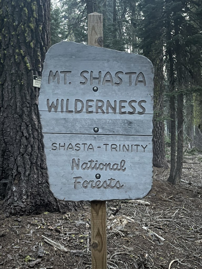
At 0.1 mile I crossed the wilderness boundary.
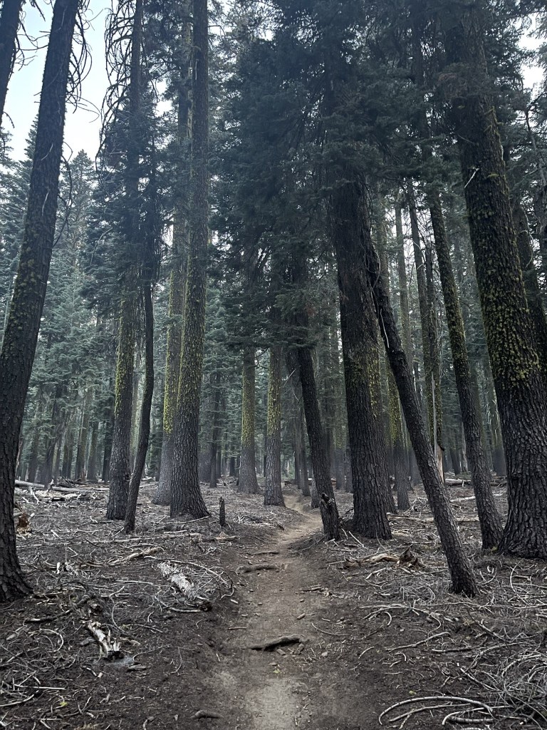
The elevation gain was fairly gradual at the beginning. The morning was cool and quiet.
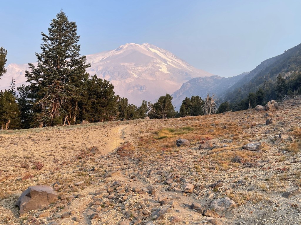
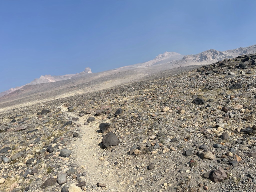
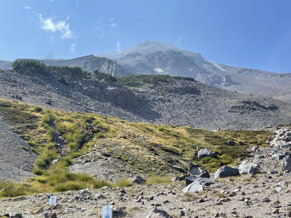
At 0.9 mile I got my first glimpse of the mountain.

The trail climbed the ridge to the east of Mud Creek Canyon. At 1.1 miles I saw 3-4 deer ahead of me on the trail, but they ran away before I managed to get a picture. The mountain was visible for the next mile or so straight ahead.

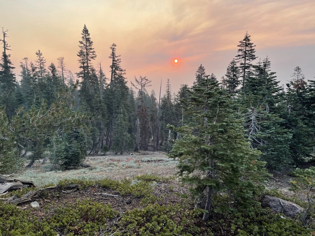
The smoke was worse than the previous day which was a bummer. An orange sun began to rise to the east.
I continued hiking northwest up the ridge.
The trees began to thin out as I climbed higher.

At 3.1 miles I reached Clear Creek. I believe the creek is spring fed. There wasn’t a ton of water, but it was flowing well enough.
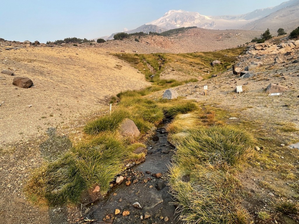
This is a popular camping area for those breaking up the hike into 2 or 3 days. Indeed, I saw a few tents scattered around.

The trail got much steeper beyond the creek. It’s basically straight up from here.
I hit the tree line around 8800 feet.
At 3.9 miles I passed 2 hikers packing up their campsite around 9600 feet. They had failed in their summit attempt the previous day due to a late start.
At 4.3 miles I passed a couple around 10300 feet. I had seen them in the parking lot the night before. They apparently had started at 2am and had only reached this point after nearly 7 hours of hiking.

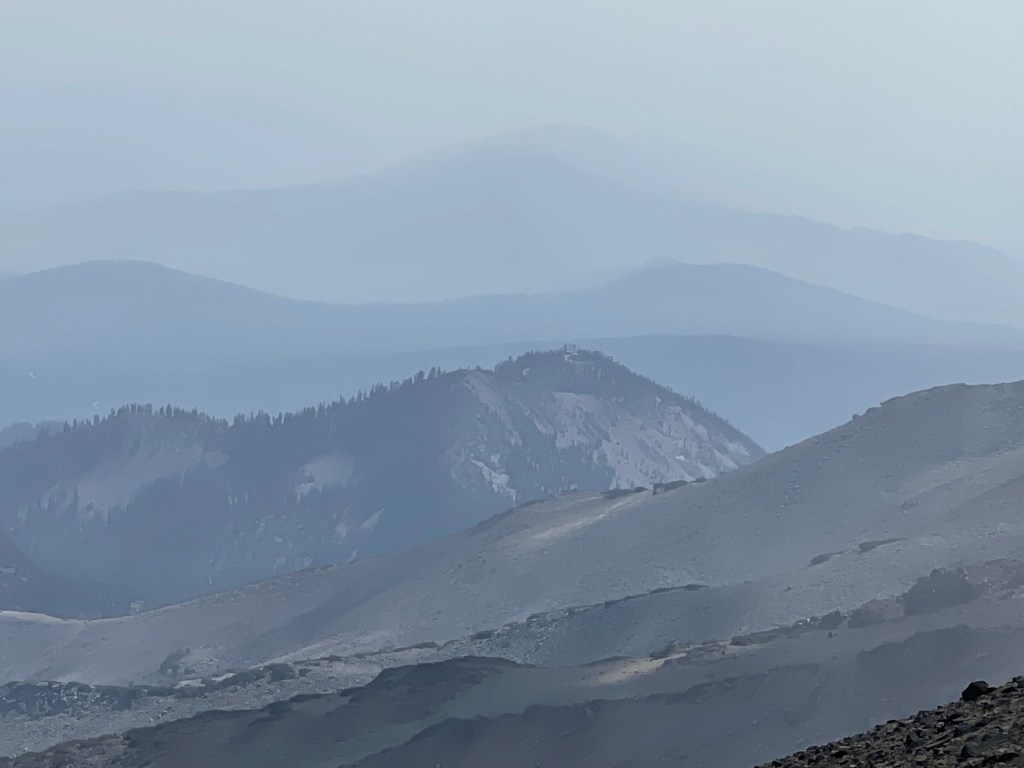
The smoke was so bad that it was even difficult to see the nearby ridges.
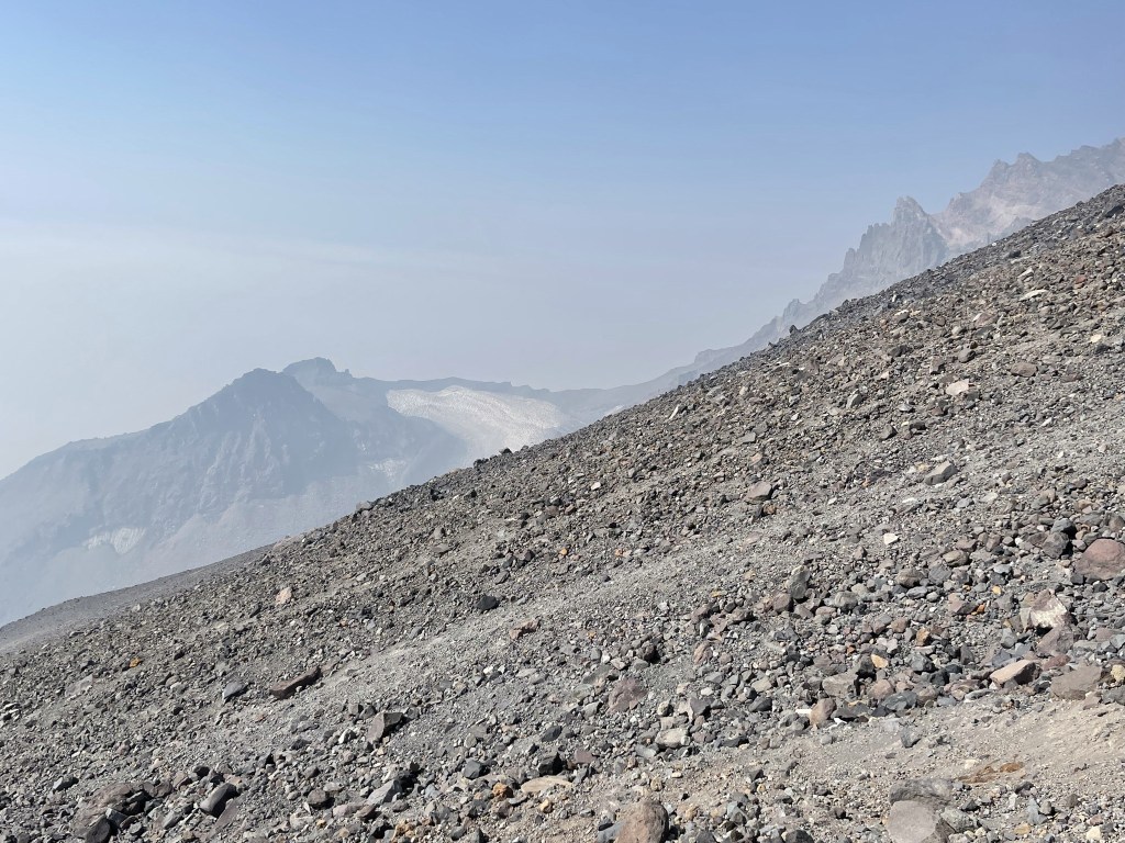
Thankfully, the sky above me was getting bluer as I climbed higher though.
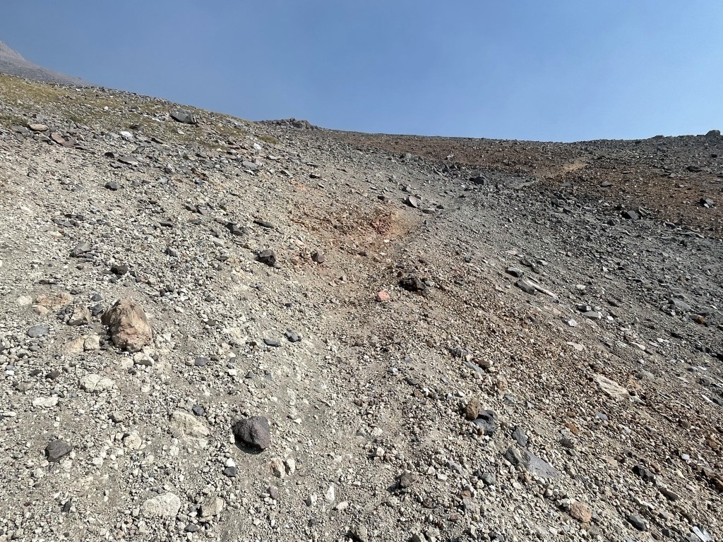
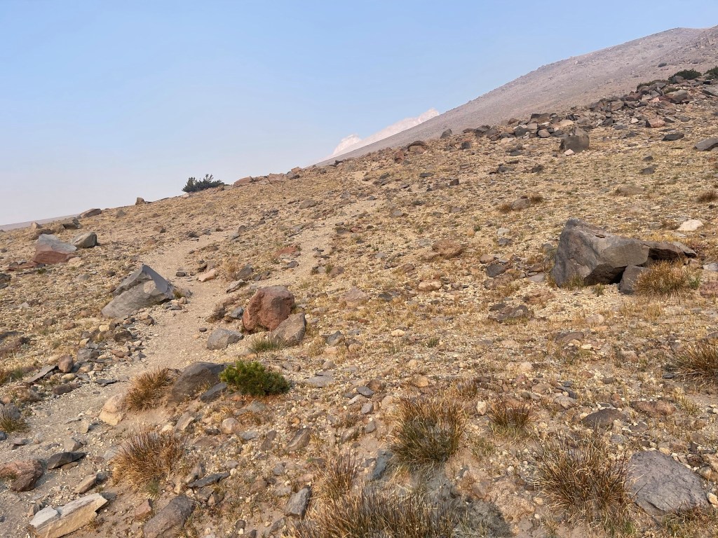
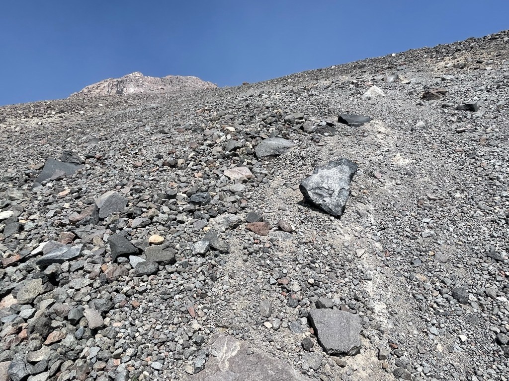
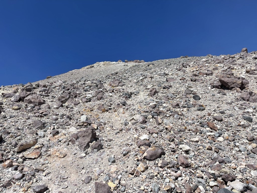
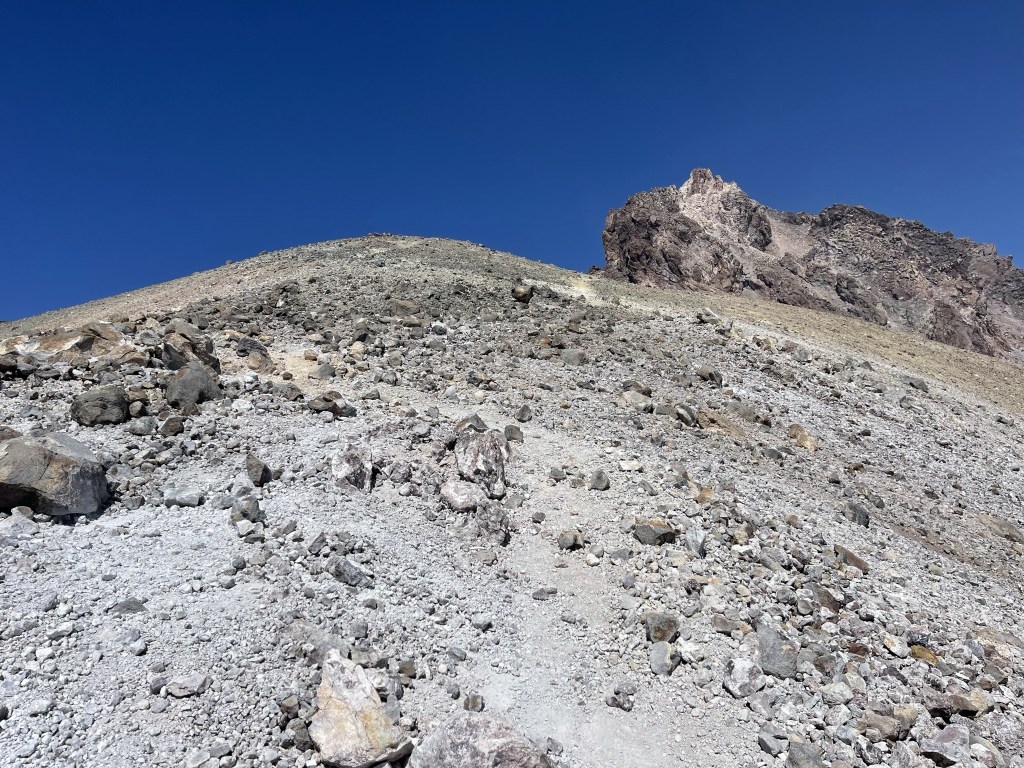
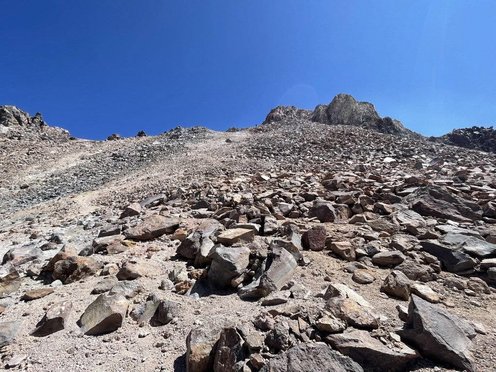
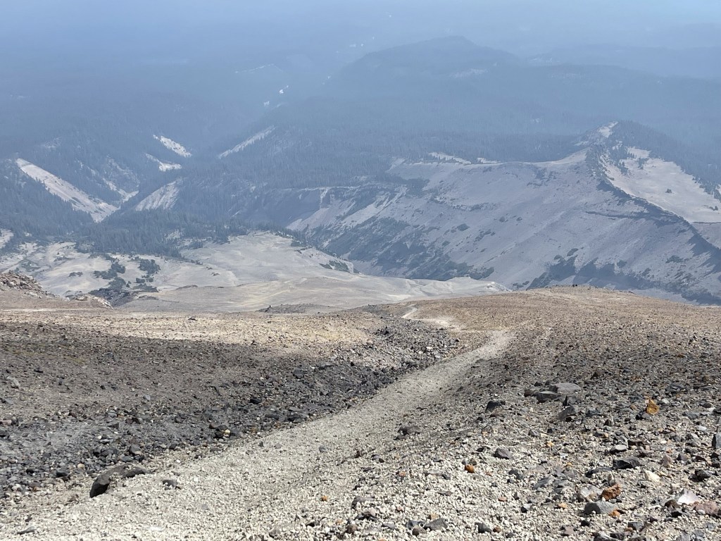
According to the map, the trail splits into 2-3 different braids around this point. I didn’t really notice any forks in the trail but based on my GPS track it appears I took the western braid. The eastern braid looks like it contains switchbacks which might make the ascent a little easier. Indeed, the trail became so steep around 11000 feet that it really slowed my progress. The mountain was so sandy and gravelly that I was taking 2 steps forward, 1 step back.
The worst part of the trail was between 12000 and 128000 feet. This was the steepest, loosest part of the mountain so I really struggled going up this part.
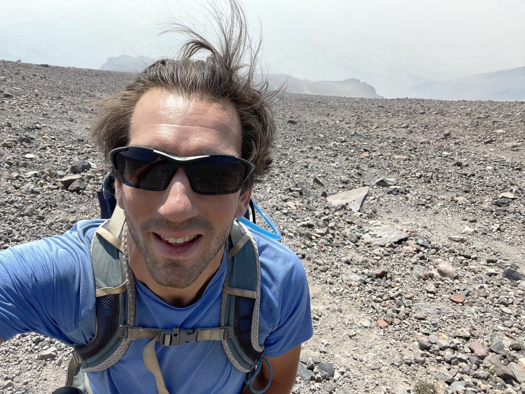
I still felt good though!
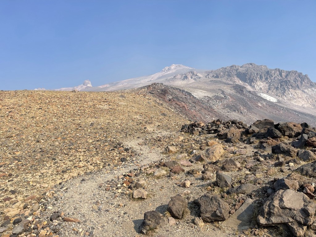
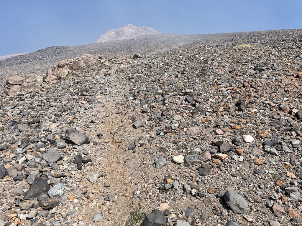
At 5.4 miles I finally reached the point I had been aiming at for the last few hours, which was a false summit of about 12800 feet. There were 2 groups of hikers resting here on their descent. They had camped at Clear Creek the previous night and then gotten an early start on their summit bid.
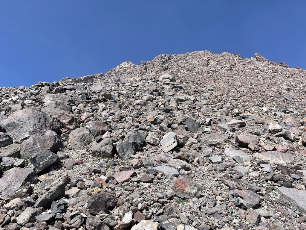
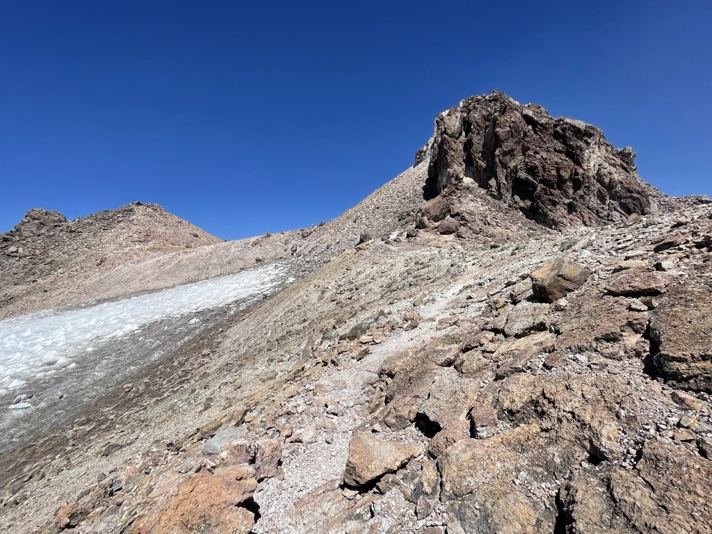
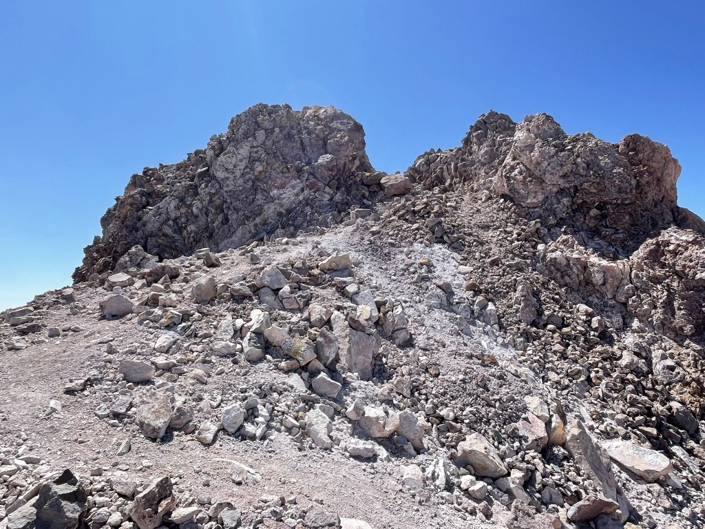
The route was much rockier above 12800 feet which was a welcome relief after the 4000 feet of loose sand/gravel I had just ascended.

I got off track to the east a little but managed to get back pretty quickly. I passed 2 more groups of hikers on their way down.
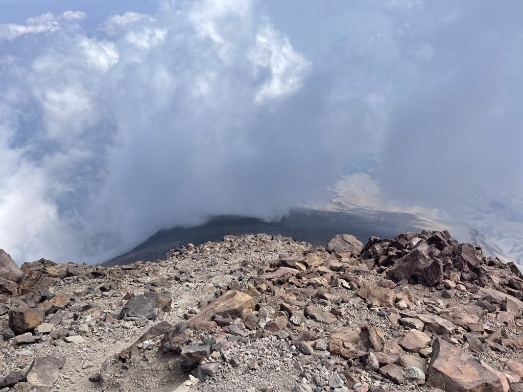
As I neared the summit the wind picked up and I also noticed a strong sulphur smell.
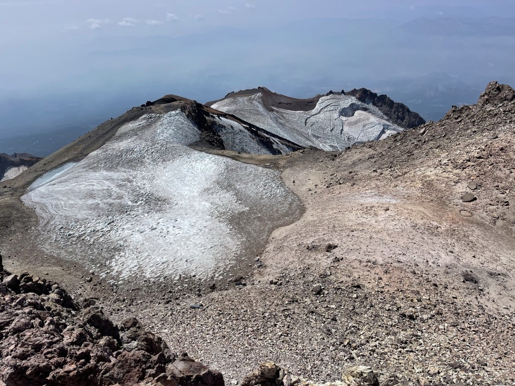
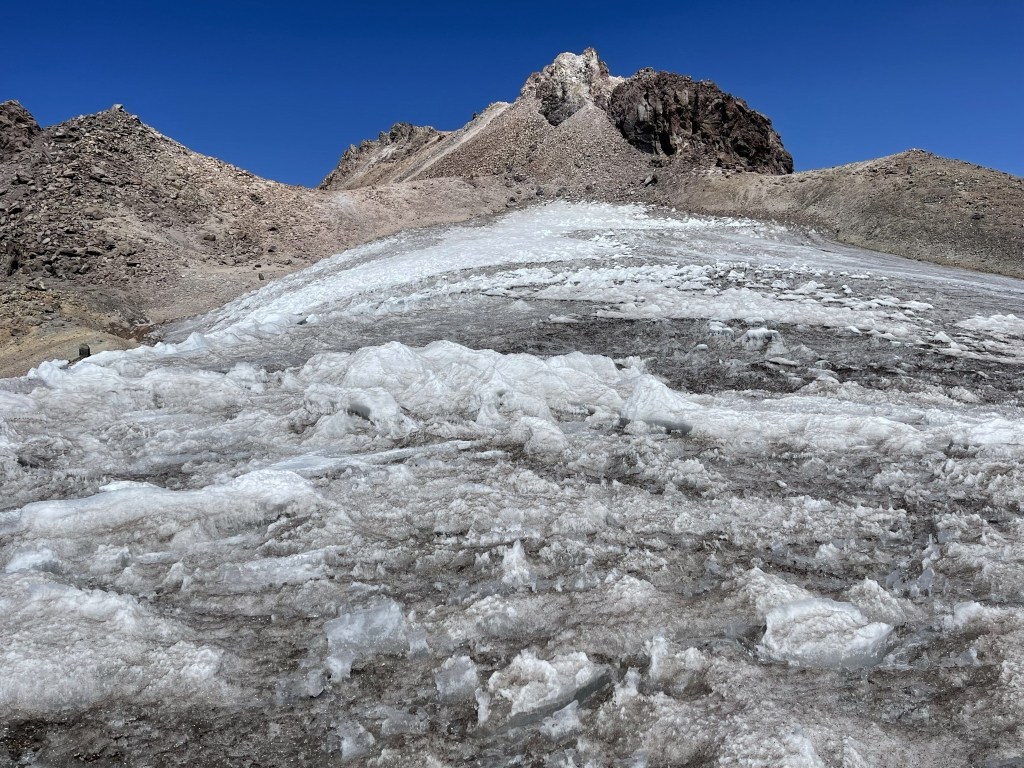
I passed near the top of the Whitney Glacier.

The summit was very close as the trail stayed east of the glacier.
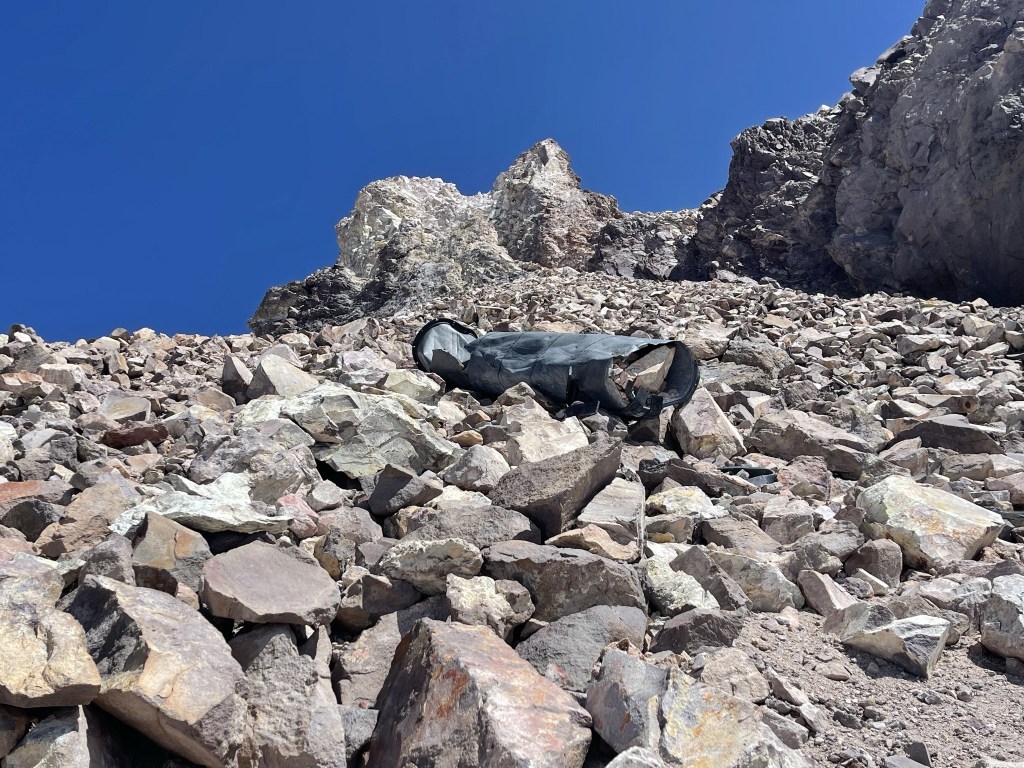
I found some old junk off to the side.
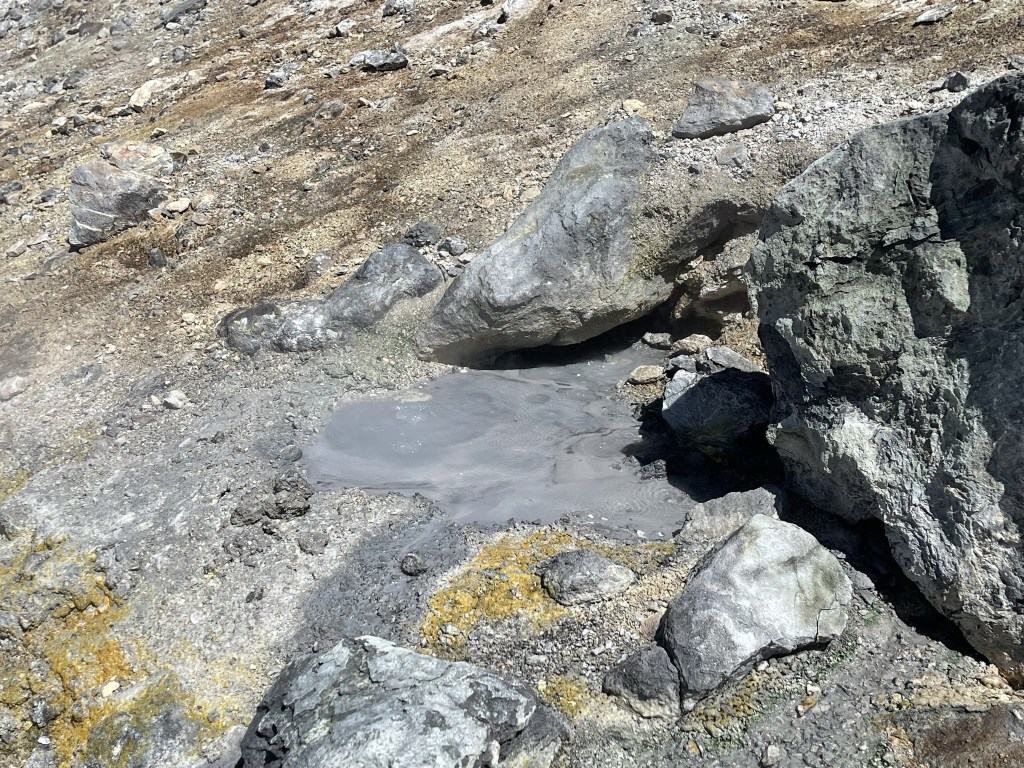
At 6.1 miles I found a bubbling sulphur springs around 13900 feet.
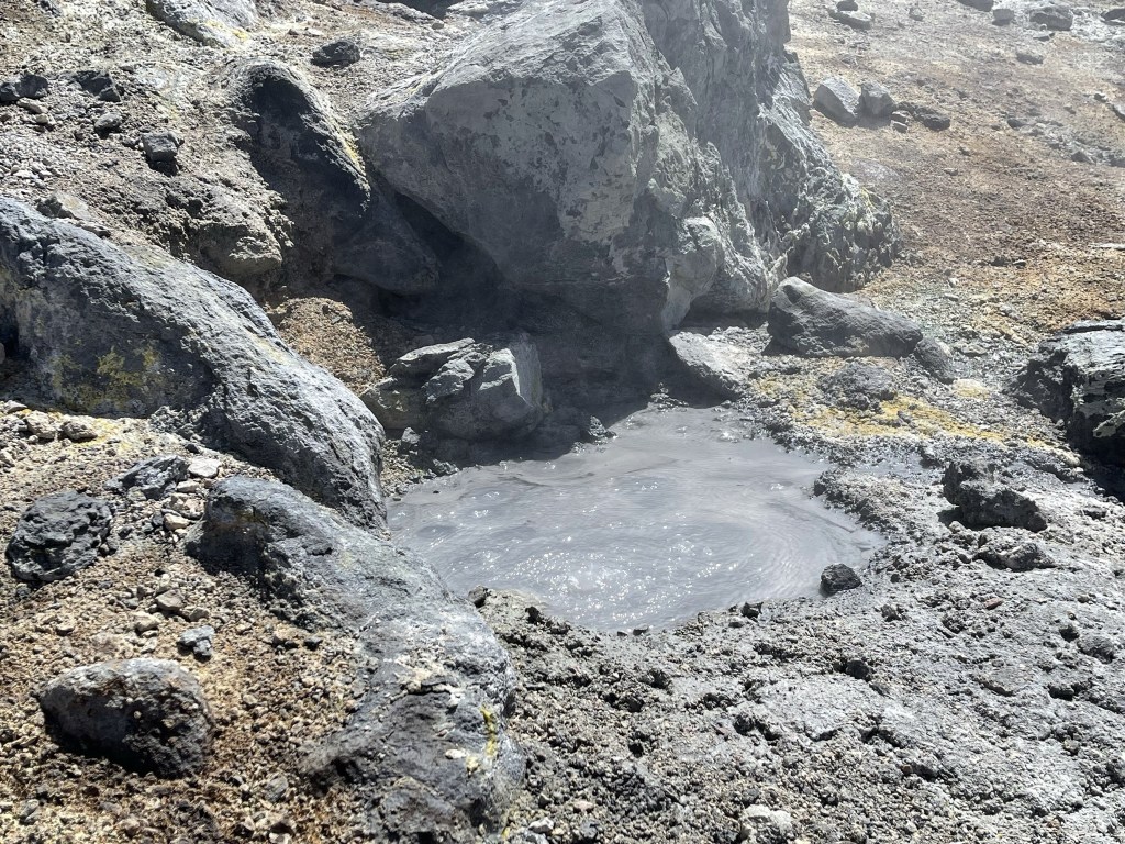
The smell was very strong, and I could feel the heat from the springs.
I then turned east and made the final climb up a talus slope to the summit.
I was very close now!
I reached the summit of Mount Shasta at 12:28pm at the 6.3 mile mark!
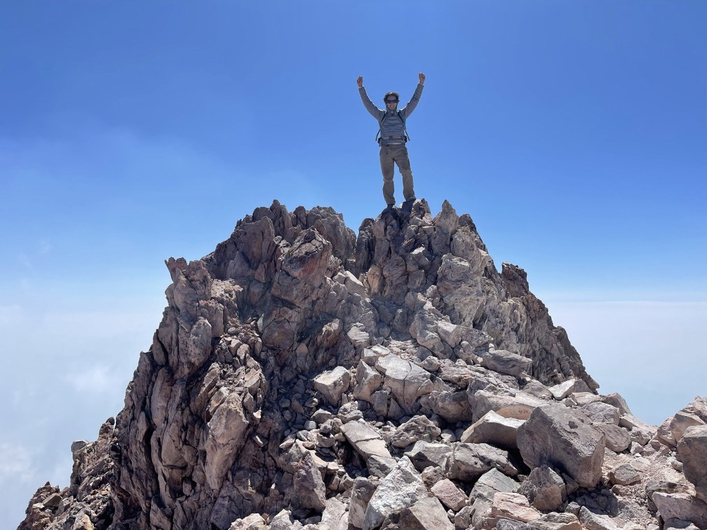
It was cold and windy on the summit. The forecast had called for a high of 35 and 40+ mph winds on the summit today. It was cold, but it definitely didn’t seem that bad. It felt warmer than it had on South Sister and Mount Bachelor earlier in the week. I had even packed my heaviest jacket in anticipation of extreme cold but never ended up using it. There was another couple who had summited just before me, so we were able to take pictures of each other. There was a very nice register on the summit. It was placed on June 6, 2021 by a climbing ranger. The ranger had left a note that they took the previous register to a library at the University of California-Berkeley. Pretty cool!
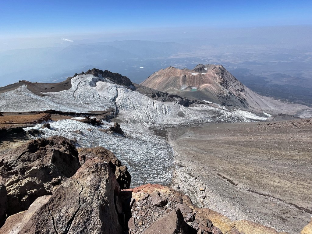
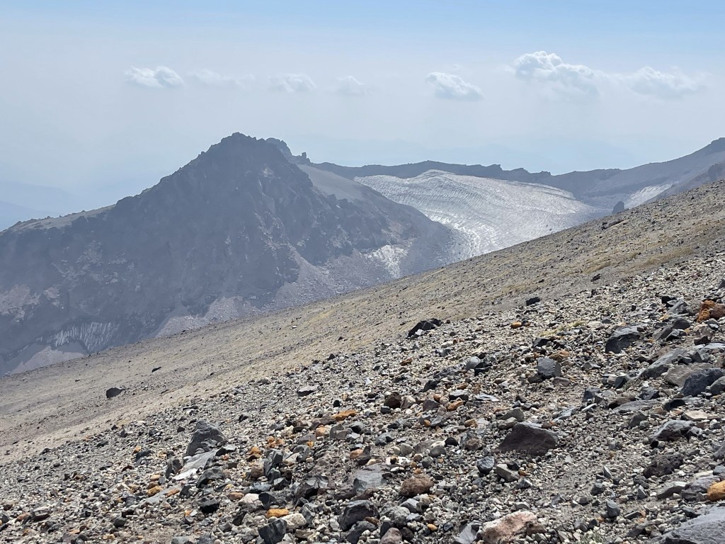
I had an excellent view of the Whitney Glacier southwest of the summit. The Whitney Glacier is the longest glacier in California.
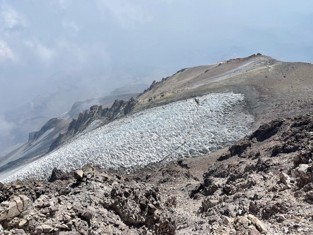
To the east I could see the top of the Wintun Glacier.
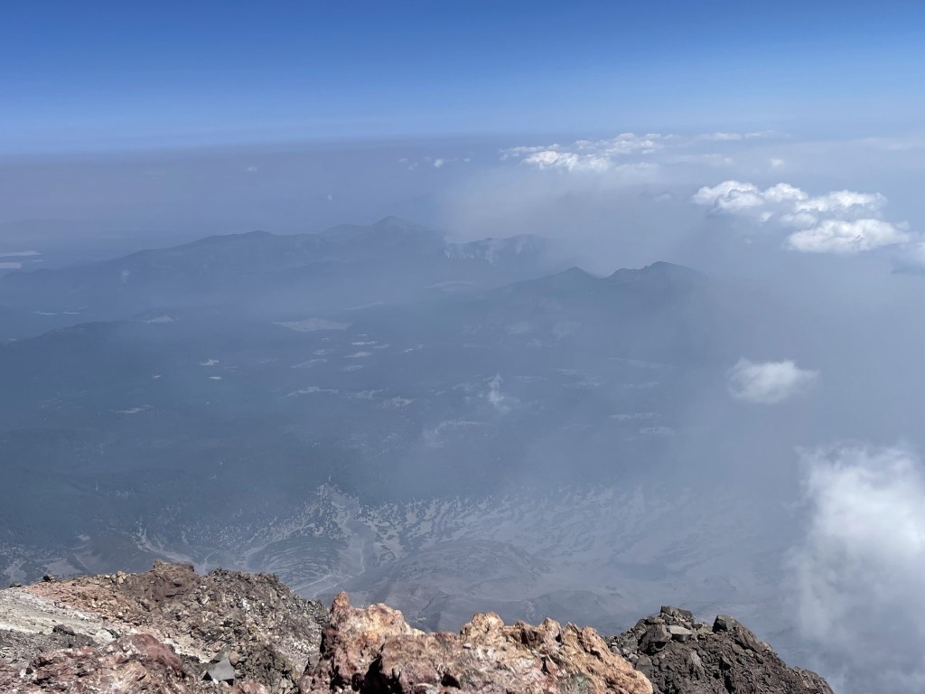
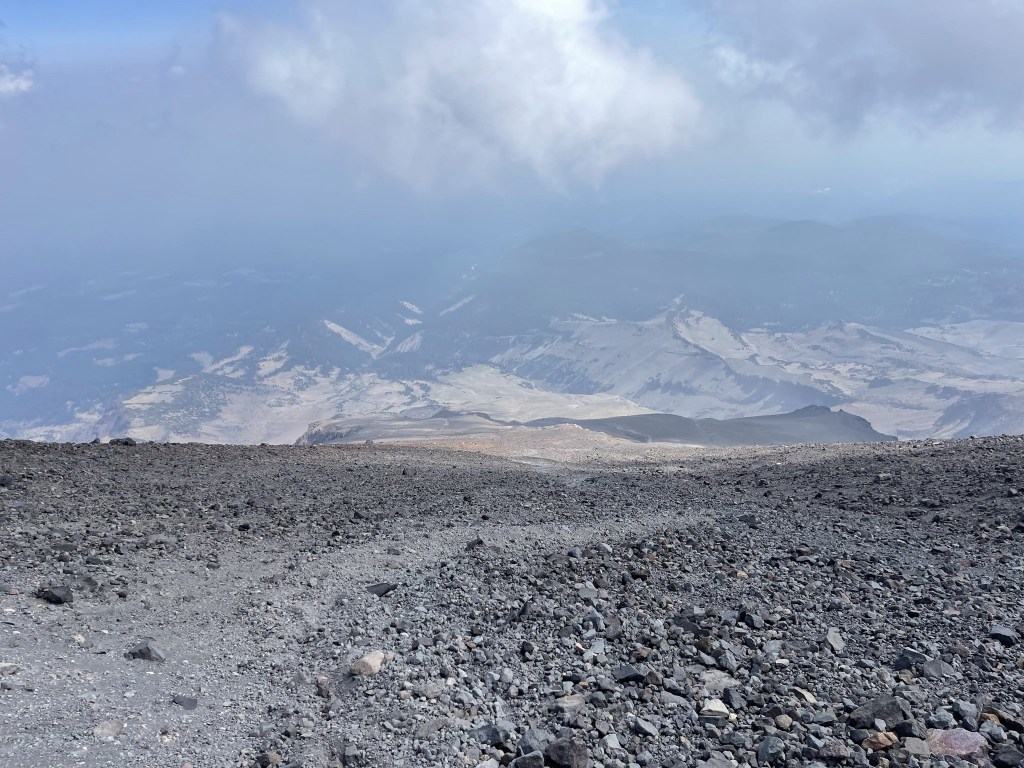
Unfortunately, the smoke was pretty bad which deterred from the views. It was the worst to the south, but the other three directions were somewhat clear. This is looking east:
This is looking west. I think Mount Eddy is one of the peaks visible.
The northern view was by far the clearest.

I began the descent at 1:15pm.
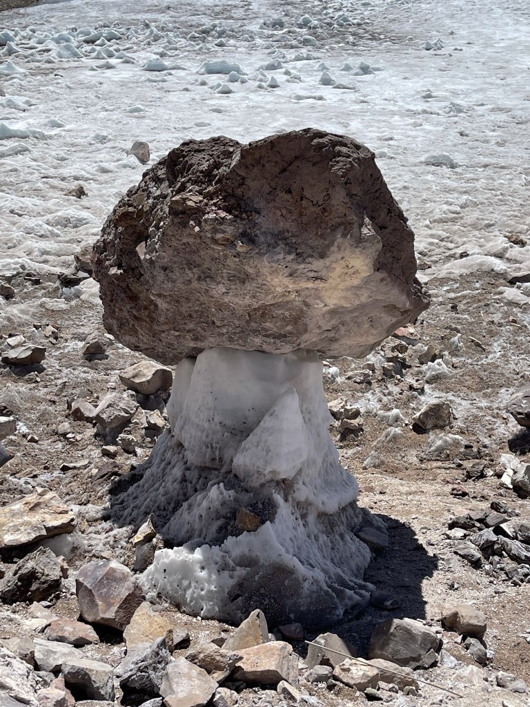
As I passed the Whitney Glacier again, I found a rock precariously perched on top of some ice.
I stepped off the trail slightly to take some pictures of the top of the Wintun Glacier.
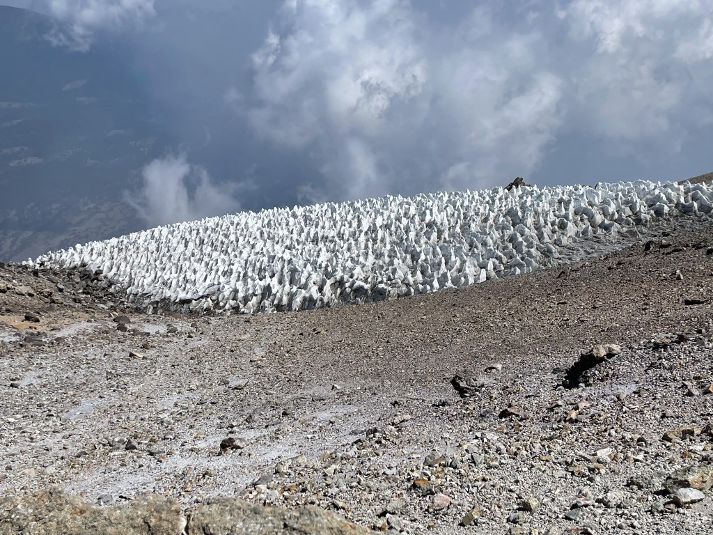
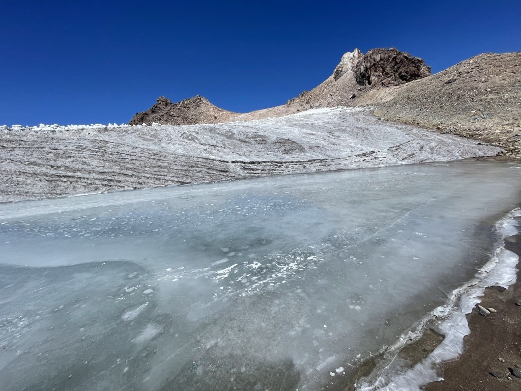
I decided to explore the Whitney Glacier a little before continuing my descent. There was a frozen pool on the south end of the glacier.
This is standing on the ice looking towards the summit:
I hiked far enough west to see Shastina beyond the Whitney Glacier. The glacier itself extends well out of sight.
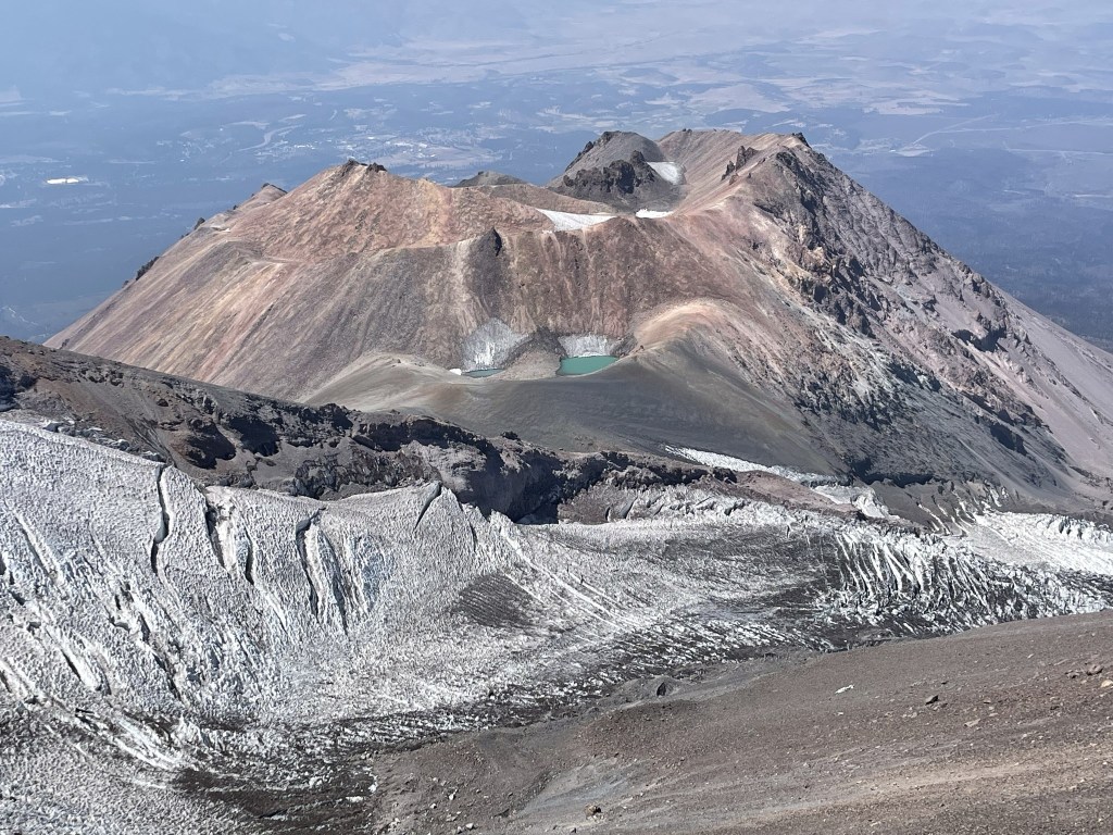
I could even see the two lakes (Sisson Lake) I had visited the previous day on my climb of Shastina.
Looking back up at Shasta again:

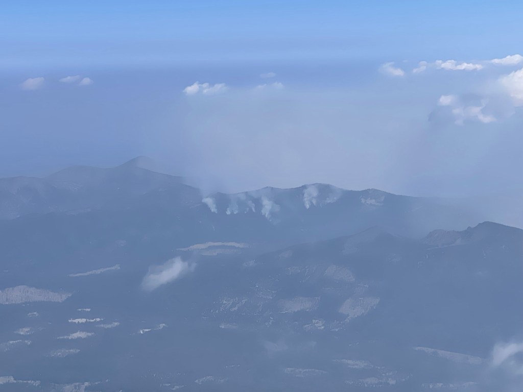
Once I had enough fun on the glacier, I continued my descent. Plumes of smoke approached from the east.
I actually wasn’t sure of they were smoke plumes or just regular clouds, but I soon was below them.
I could even see smoke rising from the surrounding hills. This might be from the Antelope Fire (not sure).
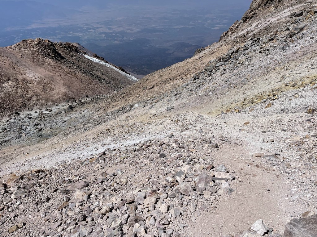
I climbed carefully down from the upper part of the mountain. At 7.7 miles I passed the same couple I saw struggling this morning who told me they had been hiking since 2am (over 12 hours ago now). They were around 12800 feet at this point so they were making progress, but they still had a ways to go. They asked me if I thought they should continue or if they should turn around at this point. I thought this was very weird to ask someone else. I told them I can’t make that call for them, but if they do continue, they need to be prepared to descend in the dark.
Once I was below 12800, I was back on the sandy/gravelly part of the route which really sped up the descent. I was able to “plunge step” down large sections of the route.
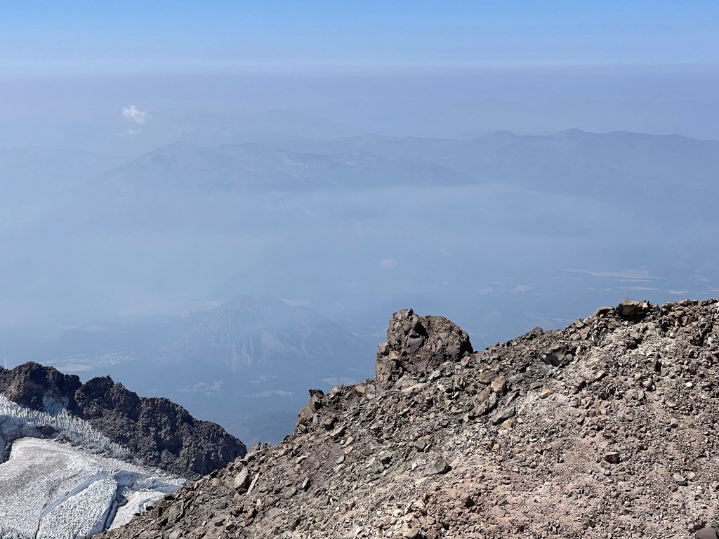
I recognized Gray Butte on my way down (center, foreground). I climbed Gray Butte the previous afternoon after I did Shastina.
It started to clear again as I descended which was nice. At 10 miles I reached Clear Creek, where I took a long break and soaked up some sun and views before continuing. I was absolutely covered in dust, so it felt nice to wash my arms, legs, and feet in the creek.
From there it was an easy hike back to the trailhead.

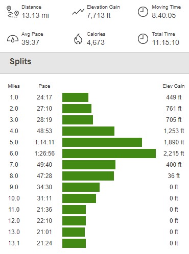
I reached the car at 5:26pm. This hike totaled 13.13 miles, 7713 feet elevation gain, and 11:15:10 total time.
I drove back into town and got something to eat. I then drove back up towards Bunny Flat to spend the final night of my trip on the mountain. I woke up early the next day to make the 12 hour drive home to San Diego. I broke up the morning by stopping in Chico to meet some co-workers for breakfast which was a lot of fun. The rest of the drive was long and uneventful.
What a trip! I had been on the road for 10 days and had driven over 2500 miles, hiked 126.9 miles, and gained 45445 feet (8.6 miles!) of elevation.
