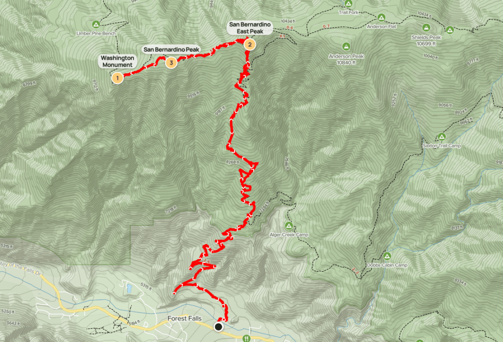
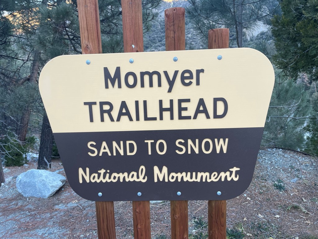
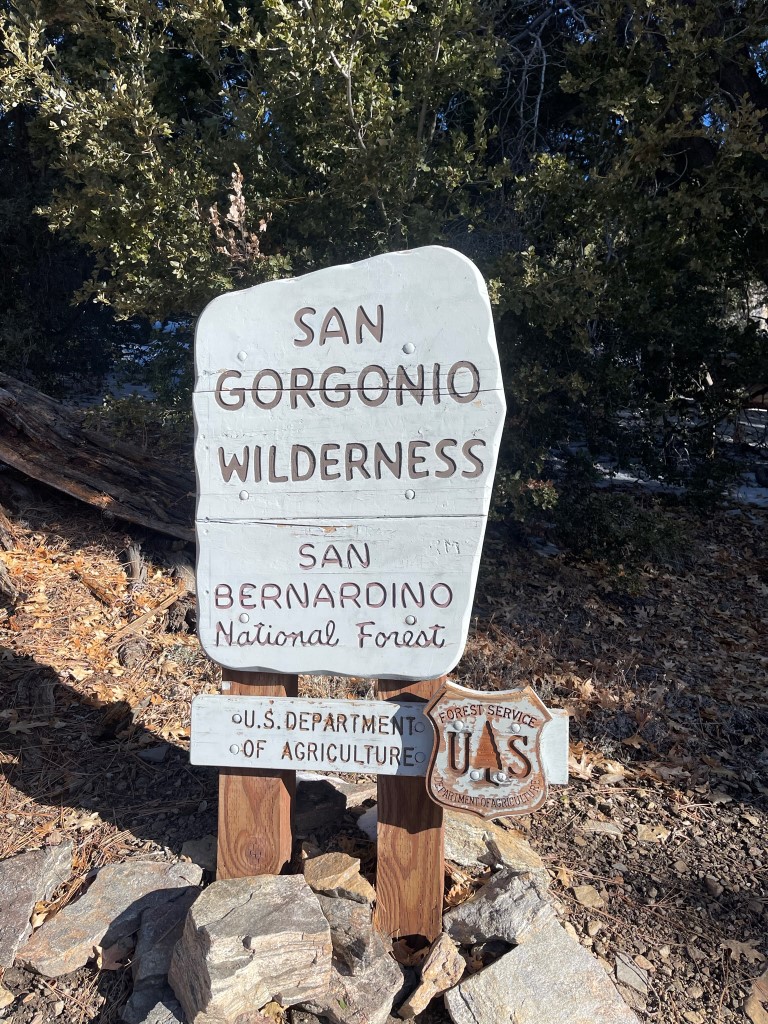
San Bernardino East Peak (10691 ft) was the last of the 10000 ft + HPS peaks I had to climb in the San Gorgonio Wilderness. I had hoped to climb it the week prior from the Forsee Creek Trailhead but ran out of time after climbing Anderson, Shields, and Alto Diablo. This time I planned to climb it from the Momyer Creek Trailhead along with San Bernardino Peak (10649 ft) and Washington Monument (10290 ft). I had climbed San Bernardino and Washington Monument previously in 2018 from Angelus Oaks via the San Bernardino Peak Trail. I left San Diego early Saturday morning and drove 2 hours to the Momyer Creek Trailhead, which is located on Valley of the Falls Drive in Forest Falls. I began this hike at 7:09am from 5504 feet above sea level. It was 31 degrees.
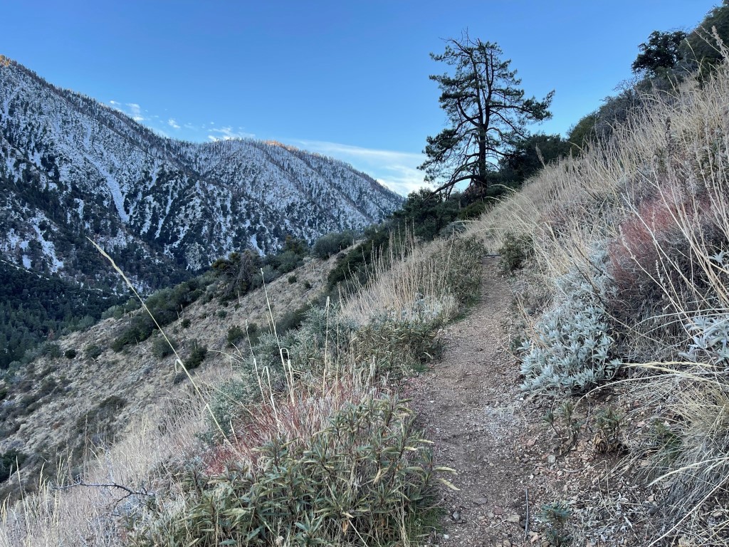
The Momyer Creek Trail essentially climbs directly up the southern face of San Bernardino East Peak. The lower part of the trail was dry.
I reached the wilderness sign at 2.7 miles.
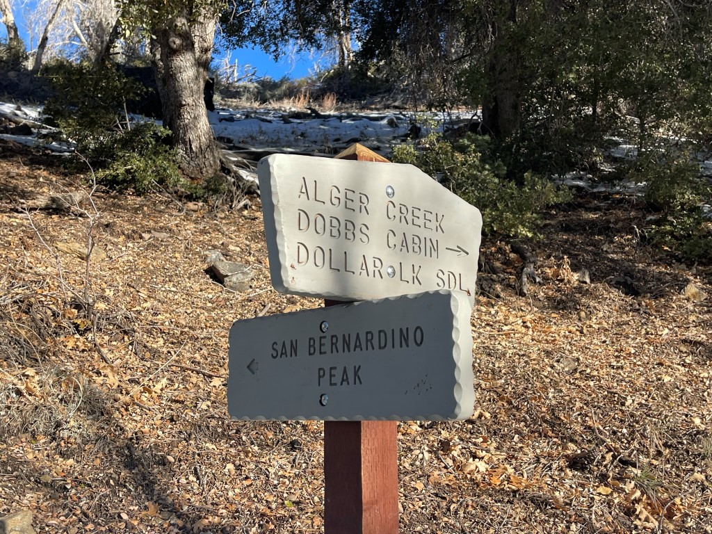
Just after that I went left at a trail junction.
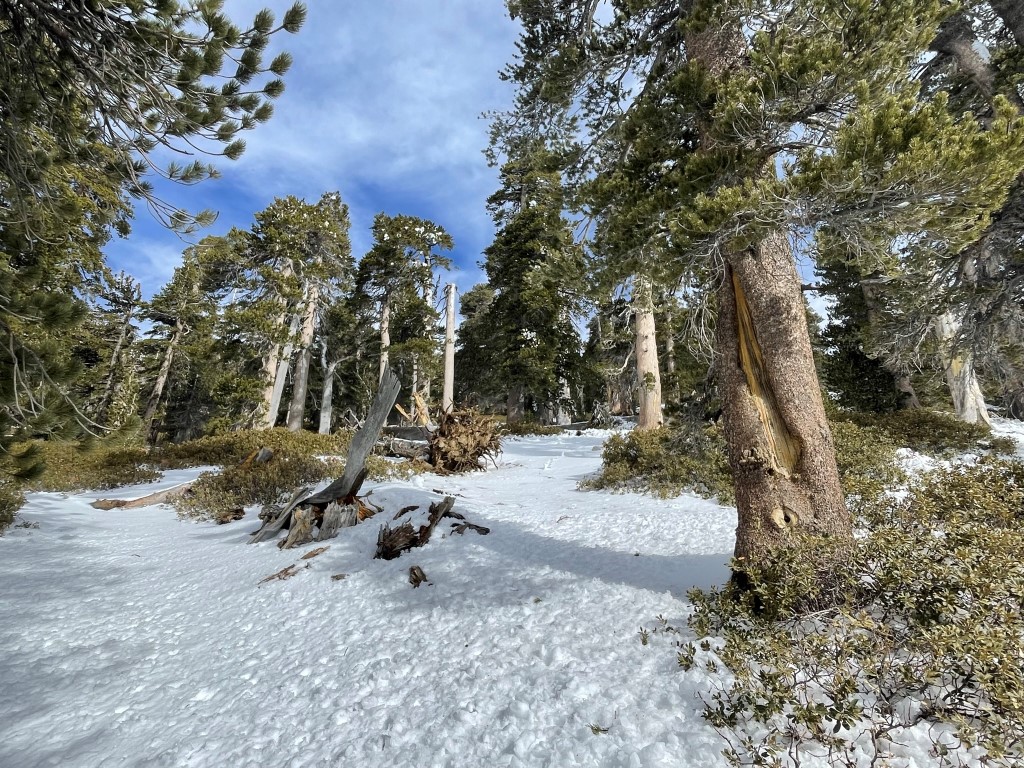
I caught up to a hiker named Michael. We hiked together for a little ways before I continued ahead. The trail now had consistent snow coverage and was a bit difficult to follow at times.
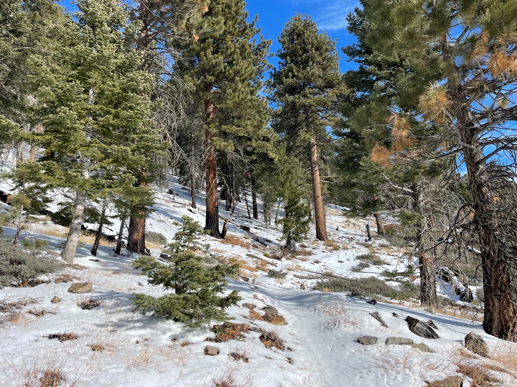
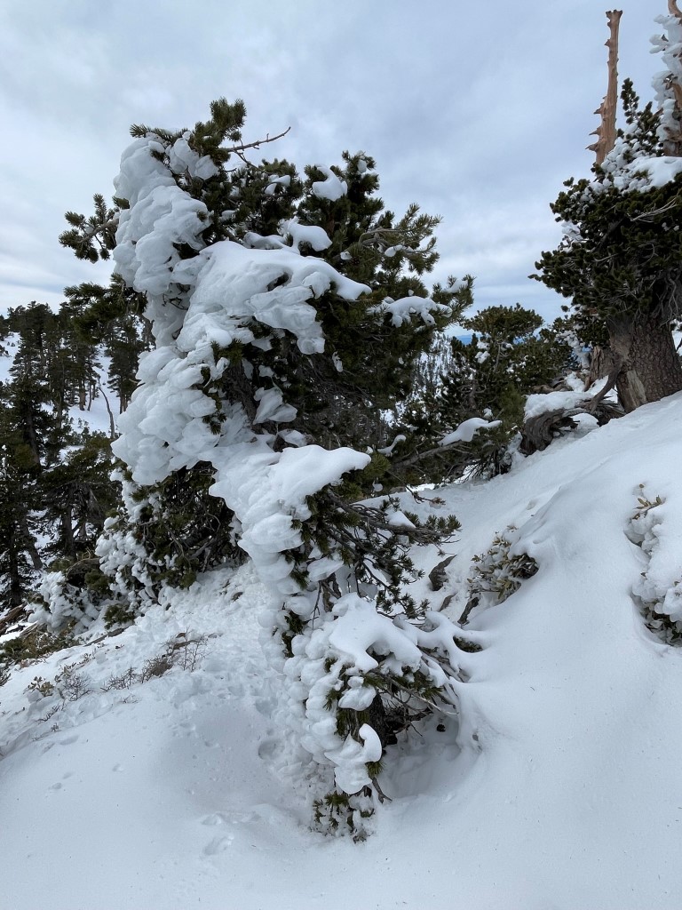
The trail continued its steep climb up to San Bernardino East Peak. The snow was soft and dry, so no traction was needed. It was never more than a few inches deep until I reached the crest of the range.
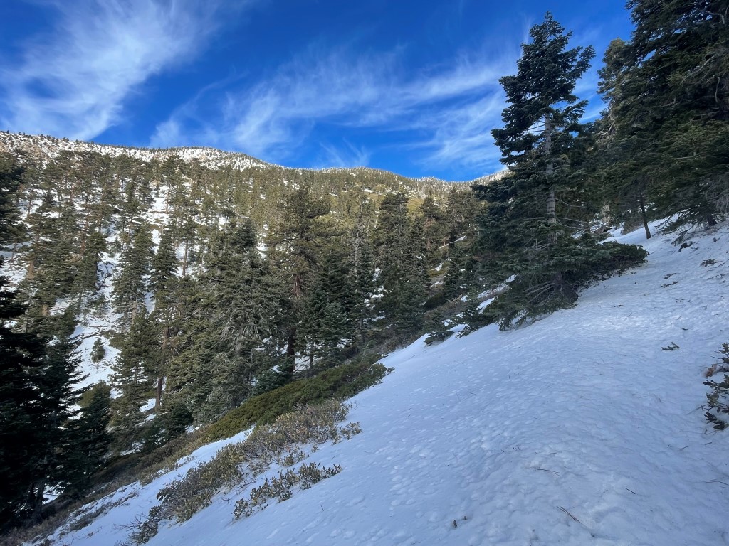
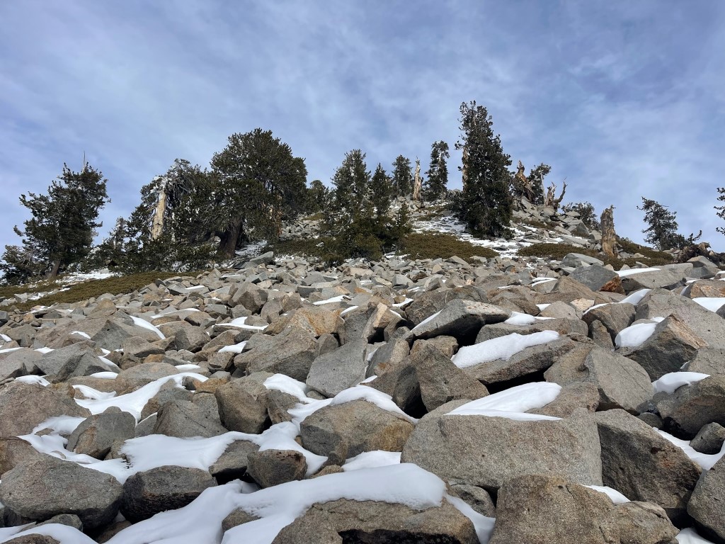
Towards the top I cut the switchbacks and climbed straight up the steep slope to the peak.
I scrambled up snow-covered rocks just beneath the summit.
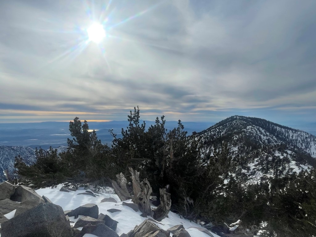
I reached the summit at 11:15am at 5.9 miles! There was no wind so it actually felt rather pleasant.

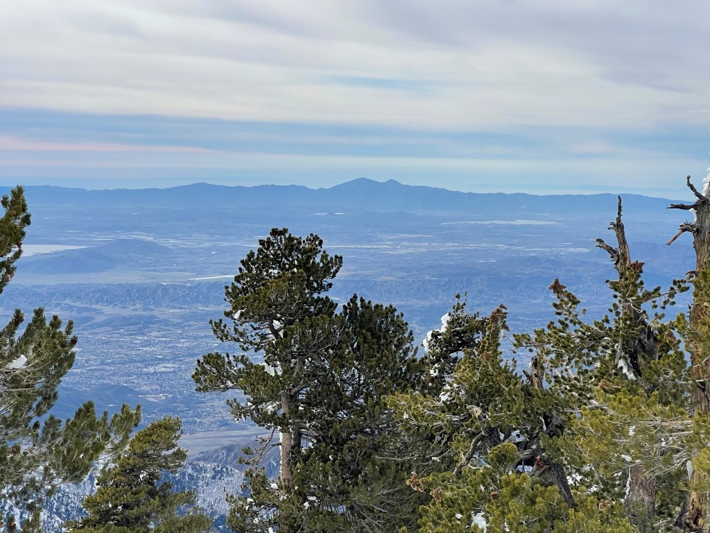
I found the ammo can that usually contains the register was missing its lid and there was no register inside. I had encountered this same thing on all my recent summits in the area, so I wondered if someone had stolen all the registers. I have no clue why someone would do that. The views were really nice despite a thin cloud layer. San Gorgonio to the east:
San Jacinto to the south:
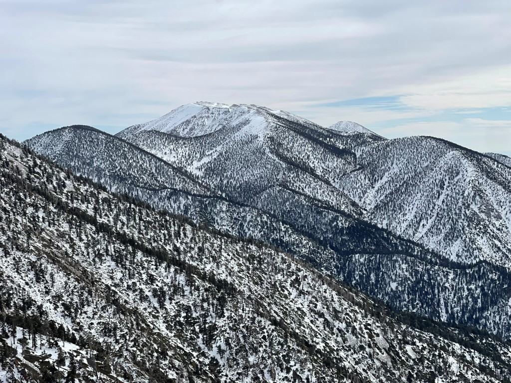
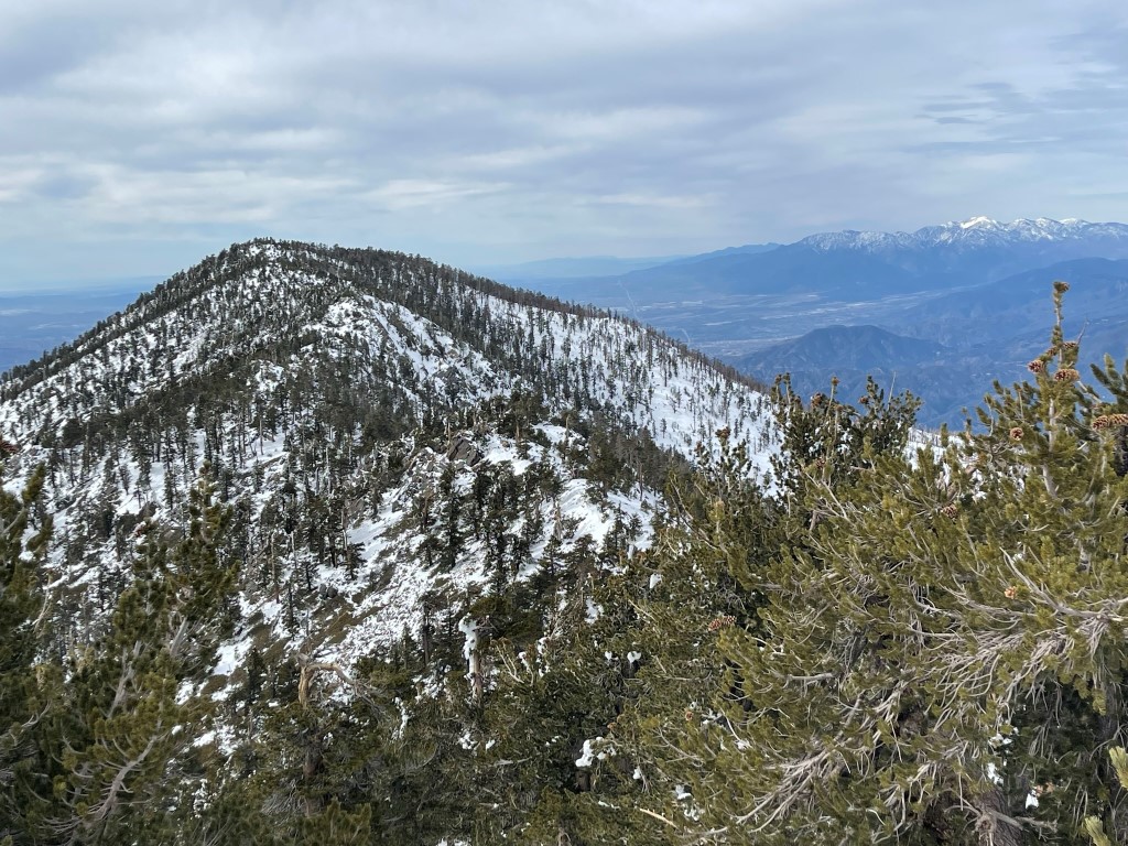
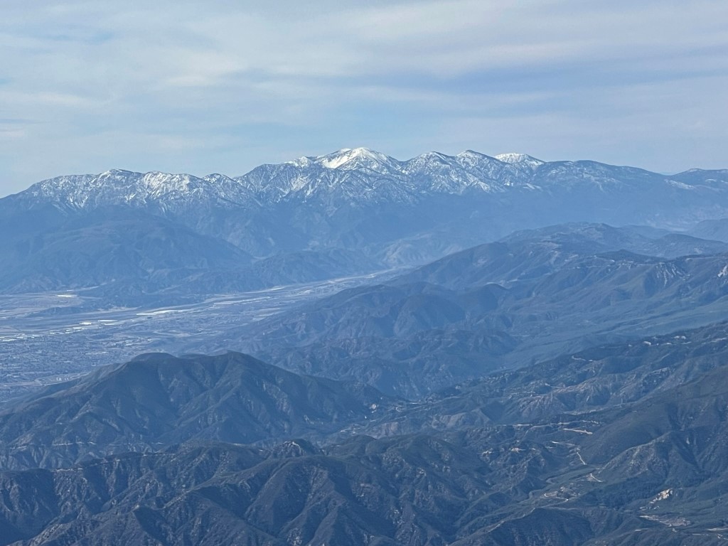
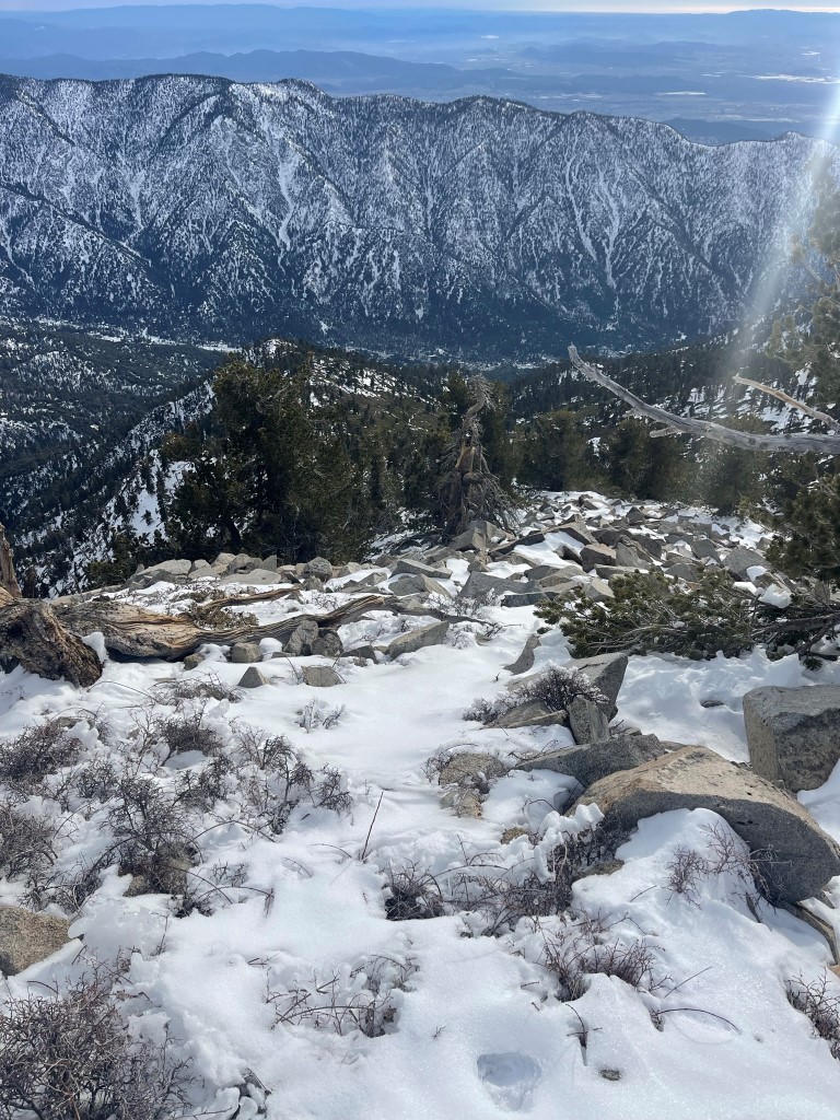
San Bernardino Peak to the west with Mount Baldy in the background:
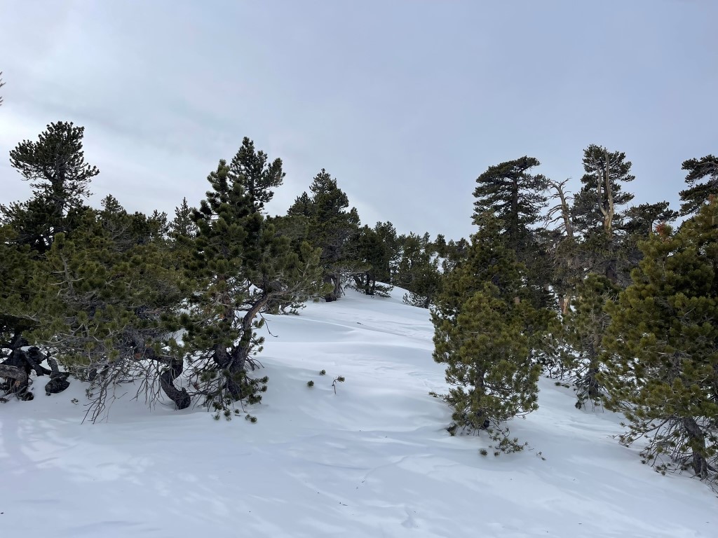
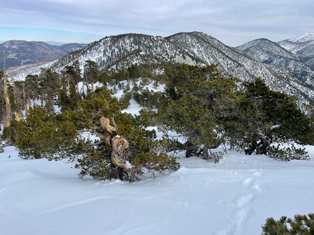
I descended north off the summit and climbed a small prominence which I thought was of similar height. I then hiked west along the crest of the San Bernardinos. The snow was much deeper here than it had been on the trail. There was also constant ice falling from the trees around me. I made an effort to not walk underneath any that had a large amount of ice on the branches.
I descended to a minor saddle and then climbed up to San Bernardino Peak.
I reached San Bernardino Peak at 12:17pm at 6.9 miles!

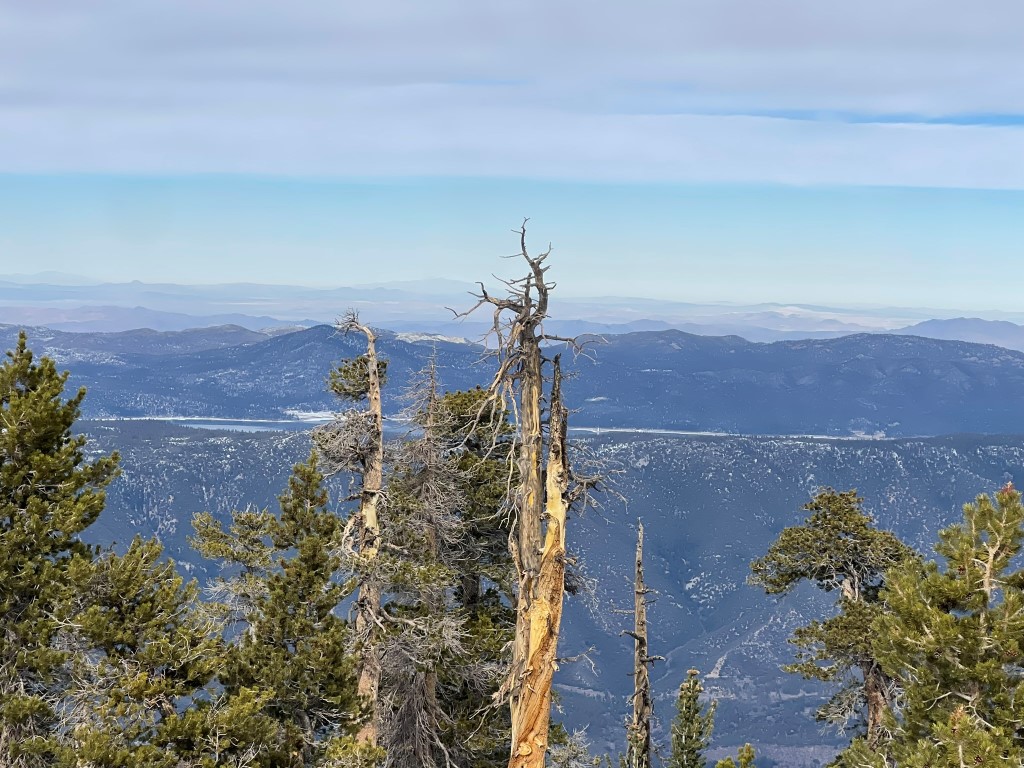
This time the ammo can still had a lid, but all of the register books appeared to have had the pages ripped out. The views were so-so due to tree cover, but I could see Big Bear Lake to the north:
Santiago Peak and Modjeska Peak to the south:
I then continued west along the crest towards Washington Monument. I descended a couple hundred feet through deep snow.

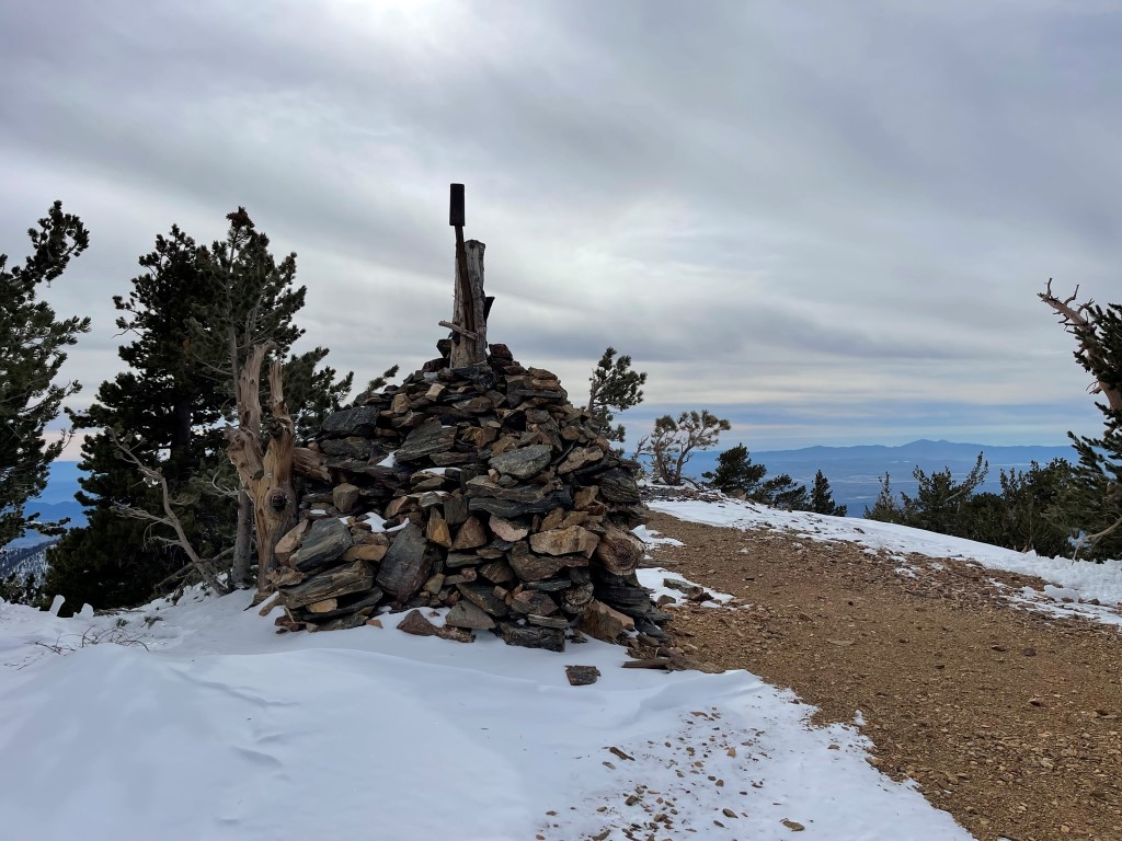
I reached Washington Monument at 12:47pm at 7.6 miles! Washington Monument is not a peak but rather a giant cairn which is an old survey marker.
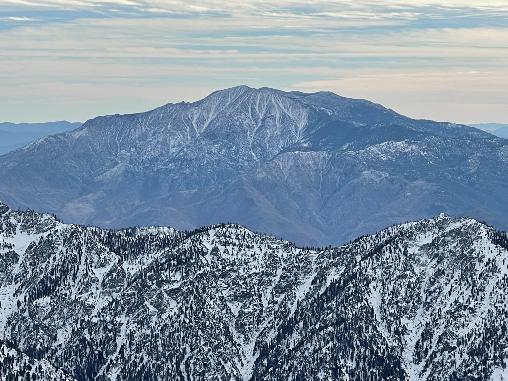
I had a great view of Mount Baldy to the west:
I then made my way back to the east along the San Bernardino Crest. The uphill portions were tough with the deep snow.
I reclimbed San Bernardino and San Bernardino East Peak along the way back. It was nearly 2:30pm when I started descending the Momyer Creek Trail.
I had to be careful scrambling down the snow-covered rocks beneath the summit.
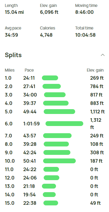
Once I reached the trail again, I made excellent time back down. I reached the car at 5:14pm in the dark. Stats for this hike were 15.04 miles, 6096 feet elevation gain, and 10:04:58 total time.