Not much needs to be said about San Gorgonio as an introduction – at 11499 feet it is the highest mountain in Southern California and the 7th most prominent peak in the contiguous United States. It is a worthy objective for both experienced hikers and amateur mountaineers. I planned on climbing it for the fourth time as part of my final training weekend in preparation for an upcoming trip to climb the Ecuador volcanoes. I slept in my car at the South Fork Trailhead the night before. It was 25 degrees when I woke up, so it was hard to get out of bed and get moving. I began this hike at 5:40am from 6871 feet above sea level.

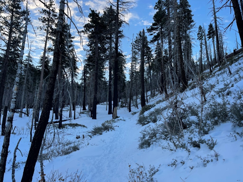
I hiked southeast along the trail as the day began. There was consistent snow coverage from the parking lot.

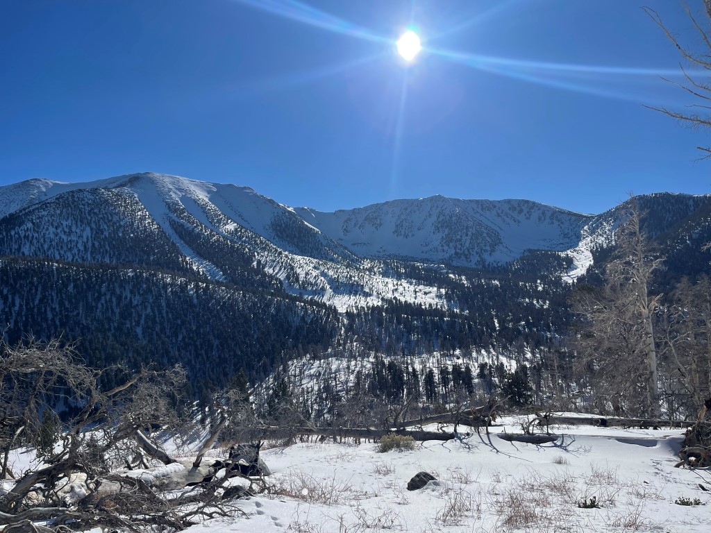
At 2.2 miles I made a quick detour to climb Poopout Hill, which is a very short distance from the main trail. I think the idea behind the name is that this is the point where hikers hit the wall on the way back, since there is a slight uphill section just before Poopout Hill on the return.
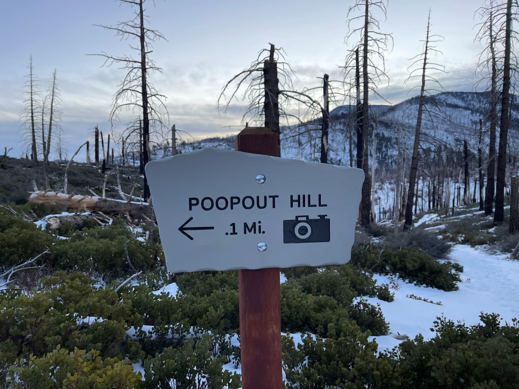
Poopout Hill has an excellent view of San Gorgonio.

I passed the wilderness sign just after Poopout Hill.

I continued southeast.
At 3.8 miles I reached the junction for Dry Lake and Dollar Lake. I turned left towards Dry Lake as the trail steepened. I passed a guy on his way down after spending the previous night at Dry Lake. He said his sleeping bag was rated for 35 degrees which makes me cold just typing.

I reached Dry Lake at 5.1 miles / 9054 feet. There was a group there already cooking up a quick breakfast before making their summit bid. Another group came up behind me and put on snowshoes before proceeding.

I turned south and hiked along the western edge of the lake.

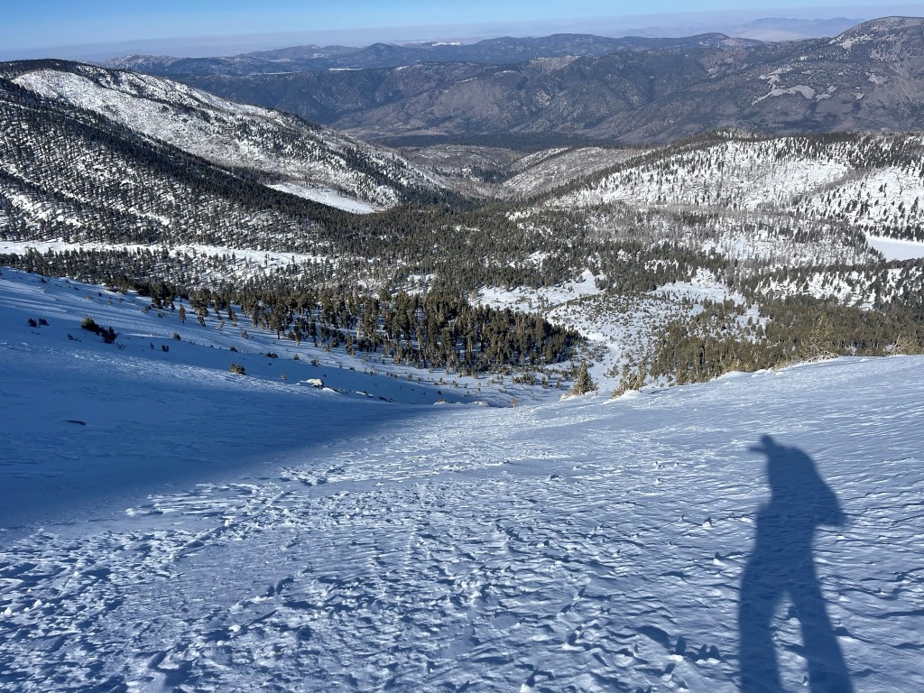
The snow was much deeper beyond Dry Lake. It was also steep, so my progress really slowed down.
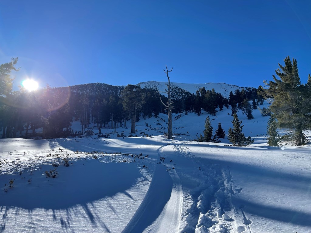
There are 4 distinct snow chutes visible on the north face of San Gorgonio. I had been up the 2nd from the left one previously, so I wanted to try a new route this time. I spotted a boot path heading towards the left, so I followed that in hopes of approaching the far left chute.

I followed the boot path for a while until it became clear that the tracks led directly up the ridge between the far left and 2nd from left chutes. I trudged a short way through deep snow and eventually gained the chute at 6.3 miles / 10390 feet.

The snow in the chute was initially comprised of a few inches of powder on top of a compacted layer. I was glad the soft layer wasn’t deeper, but it was still quite an effort to hike up. Finally, around 10700 feet the snow firmed up and was perfect for crampons.

I switchbacked my way up the steep chute.
I reached the top of the chute at 6.8 miles / 11400 feet. The summit was about 0.3 mile to the southeast (left background).
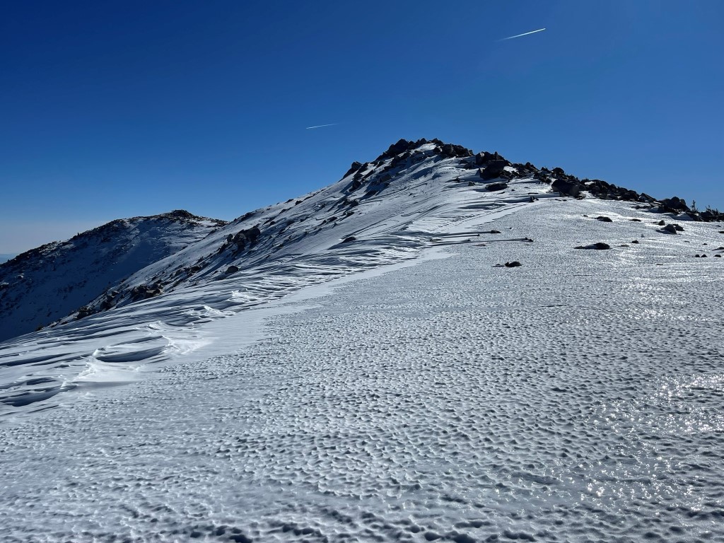
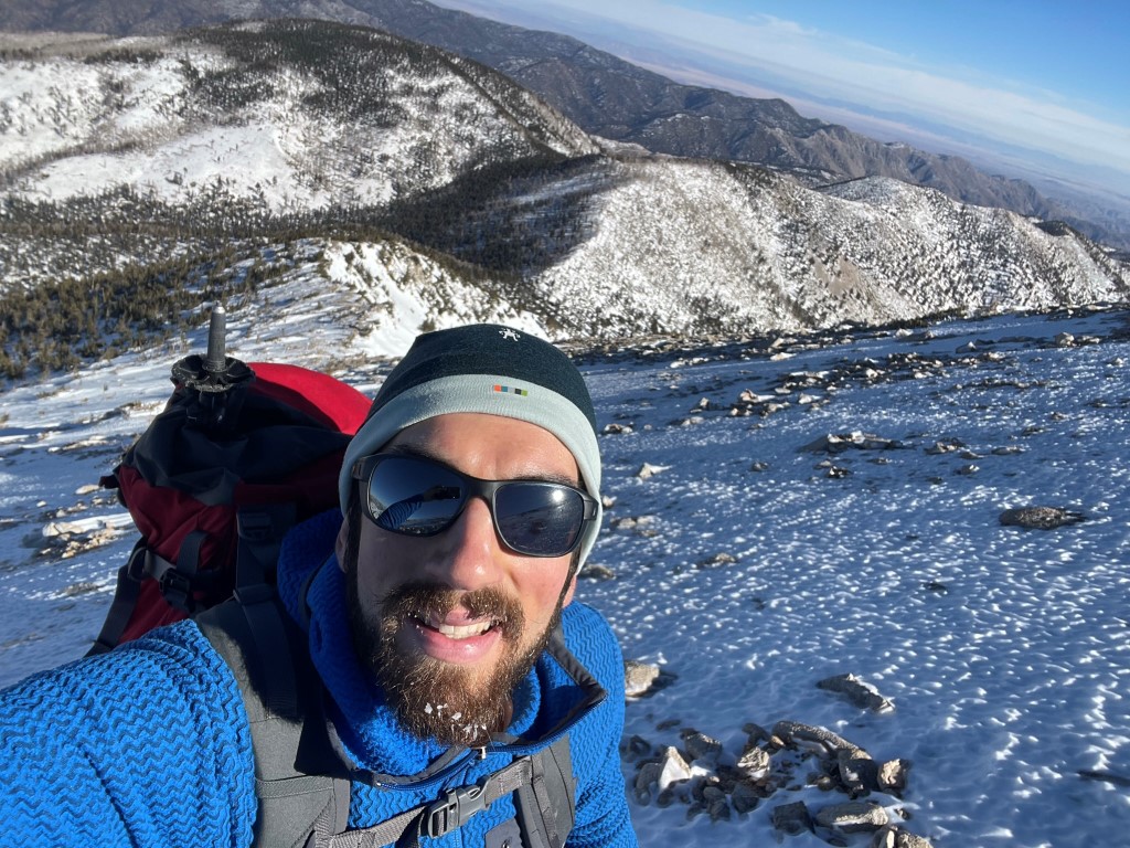
The summit plateau was so icy that it was essentially a skating rink. I proceeded carefully and reached the top at 11:13am at 7.2 miles!

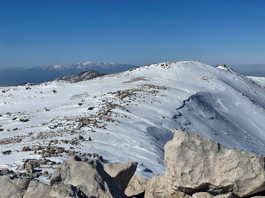
It was cold but thankfully there was no wind. I signed the register and spent some time admiring the view. San Jacinto to the south:
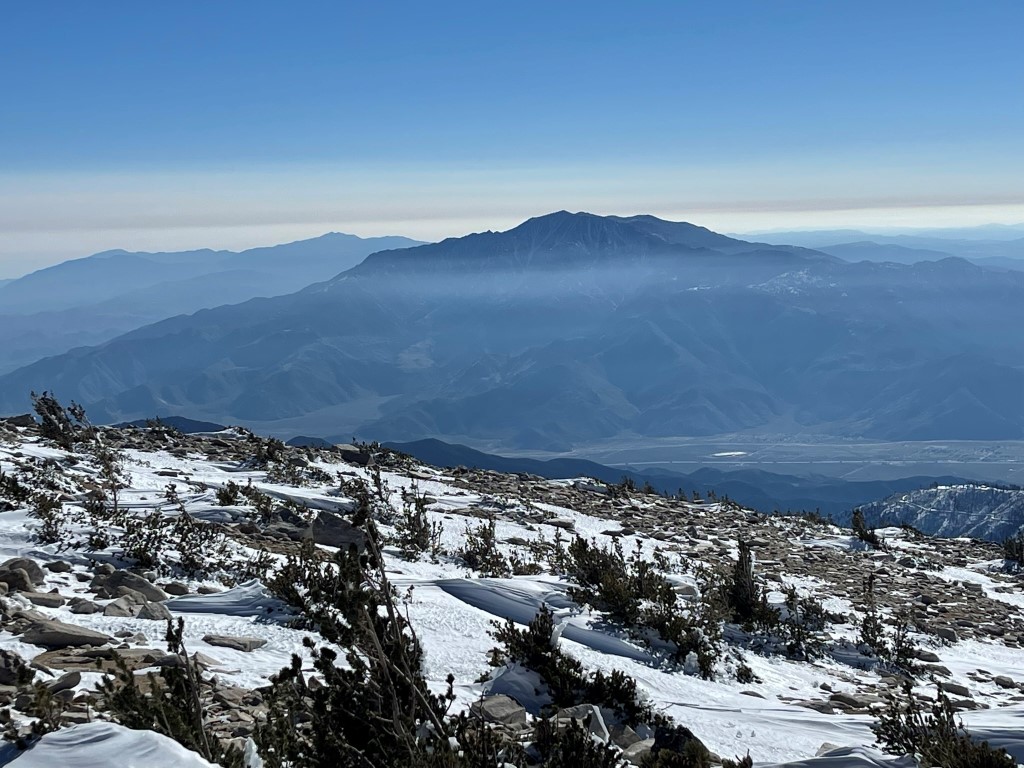
Mount Baldy to the west:
I then hiked west along the summit plateau and decided to descend the far right chute (when viewed from Dry Lake). Just as I was putting crampons back on, I spotted 2 hikers heading further west. I thought they were the 2 guys I had seen at Dry Lake putting on snowshoes, but it didn’t make sense to me that they were heading that direction. I ran into them in the parking lot later and learned they had chosen to descend all the way over by Charlton Peak. I carefully descended the steep chute.
As I had experienced in the ascent chute, the snow was firm until about 10700 feet. Once below that point, I was able to plunge step very quickly the rest of the way down. Eventually I cut northeast and rejoined the boot track heading down to Dry Lake. I reached Dry Lake at 9.5 miles. The sun was now out full blast, so it was the only time I felt warm all day. I decided to climb Peak 9630 before returning to the trailhead. Peak 9630 is a minor peak just north of Dry Lake.

I climbed the slope above Dry Lake. The snow wasn’t deep on this south facing slope, so I made good time. I reached the summit at 1:29pm at 10 miles. There were no views due to tree cover, so I took just a short break before descending. I was able to get a great picture of San Gorgonio and Jepson Peak on the descent.
I reached Dry Lake again at 10.4 miles. From there, it was an easy (but kinda long) 5 mile hike back to the car, which I reached at 3:41pm. Stats for this hike were 15.38 miles, 5318 feet elevation gain, and 10:00:51 total time.


