Sirretta Peak, Peak 9980, and Domeland Wilderness High Point
My plan for the final day of my 3 day trip to the Southern Sierra was to climb a 9977 foot SPS peak called Sirretta Peak. I also planned to climb an unnamed peak of elevation 9980, as well as the Domeland Wilderness High Point (9724 feet). I slept in my car the night before at the standard trailhead. I woke up very early and started hiking at 5:18am from 7808 feet.
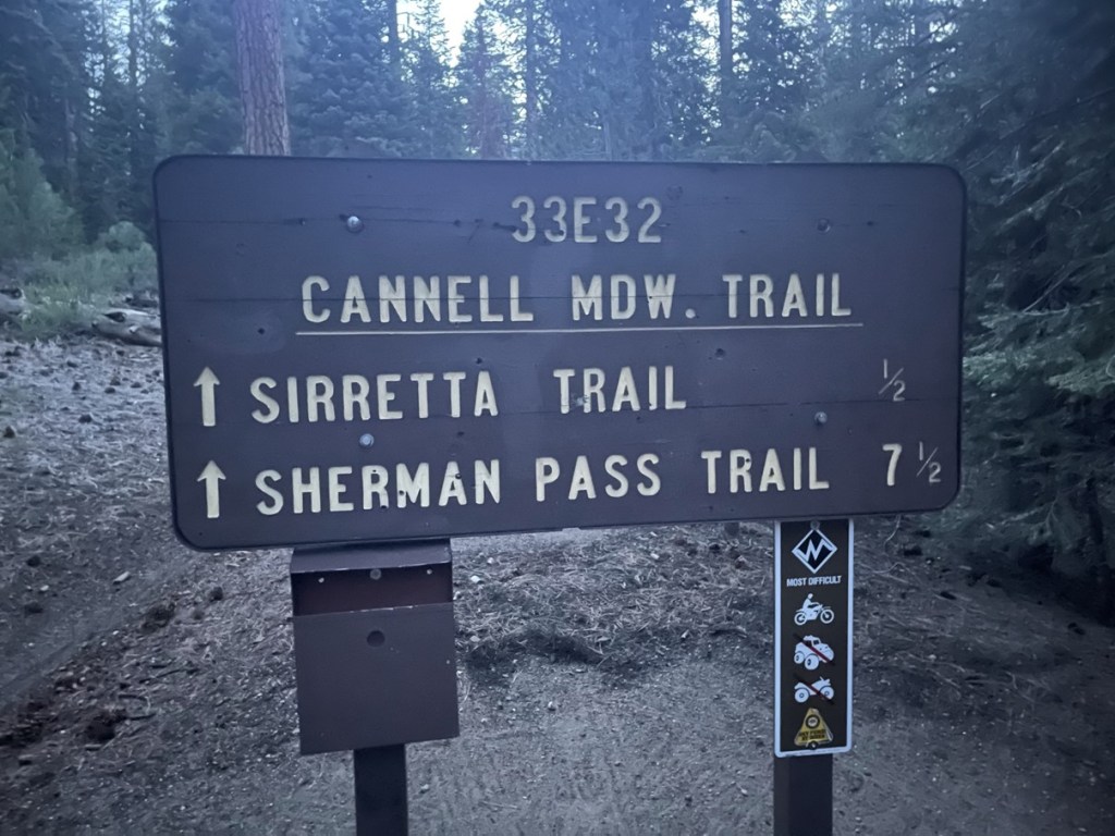
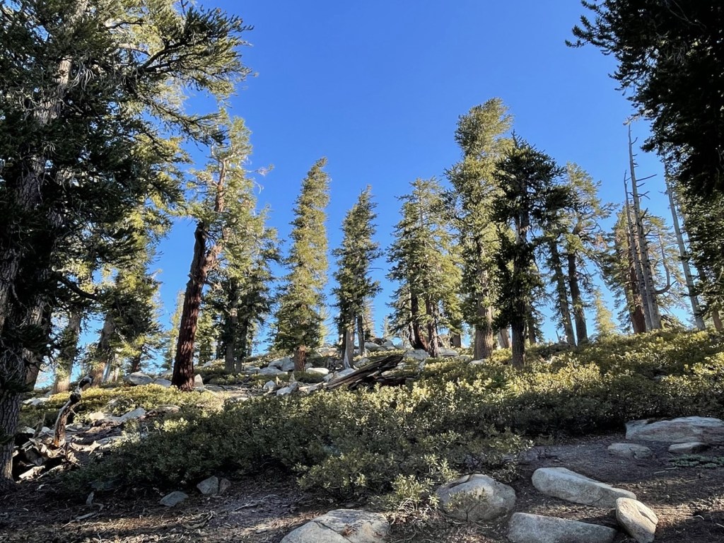
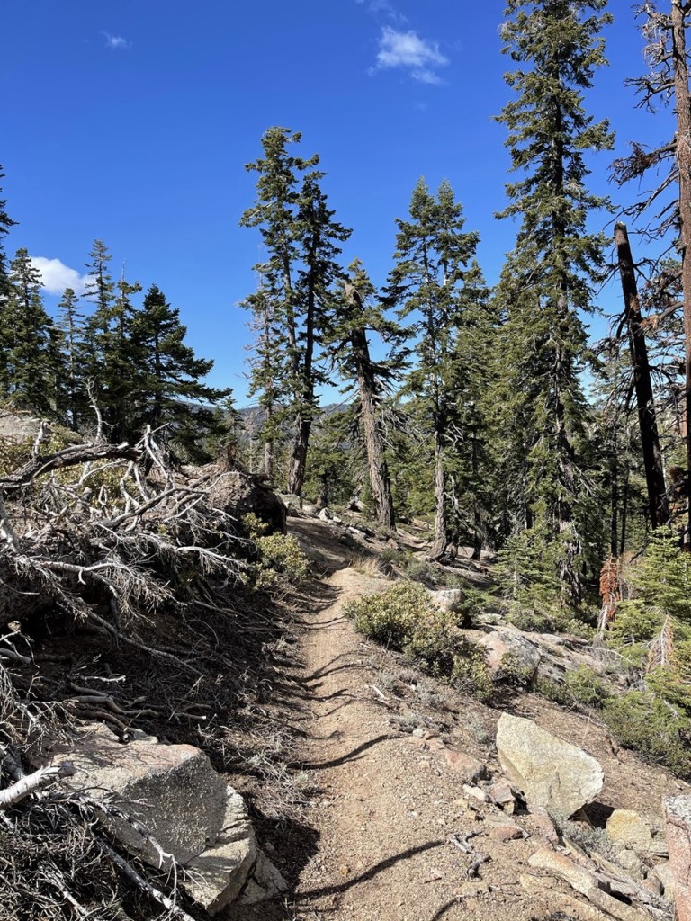
I started hiking north on the Cannell Meadow Trail. It was very cold so early in the morning, so I was bundled up.
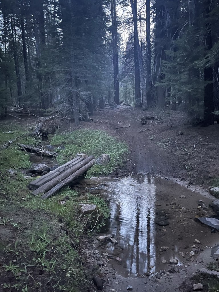
There were 2 creek crossings right away.
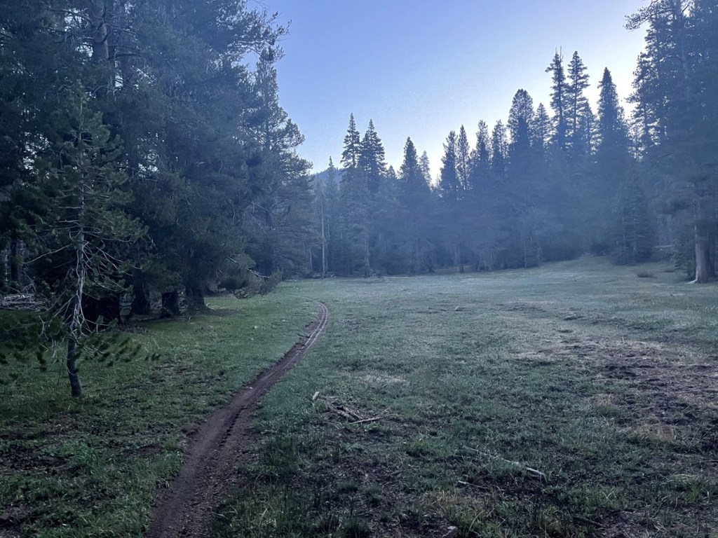
At 0.4 mile I hiked through a small meadow.
There was a massive tree fallen over to the side of the trail.

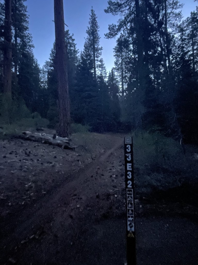
At 0.7 mile I reached a trail junction. I turned right onto the Sirretta Trail.
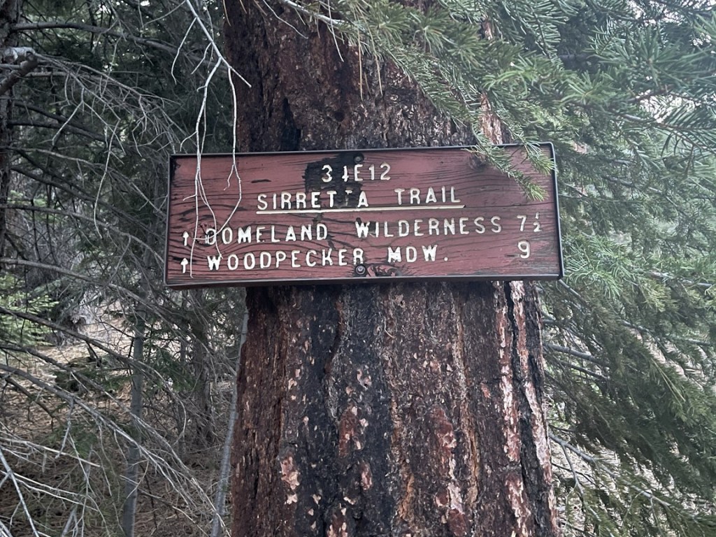
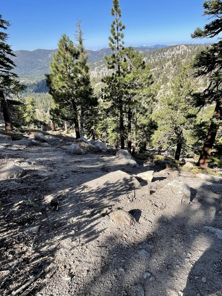
The trail was pretty steep beyond the junction.

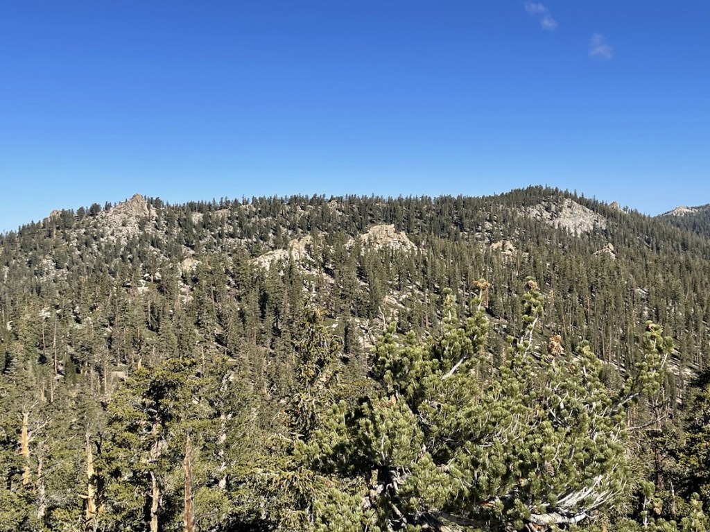
I could see Sirretta Peak high above me still.

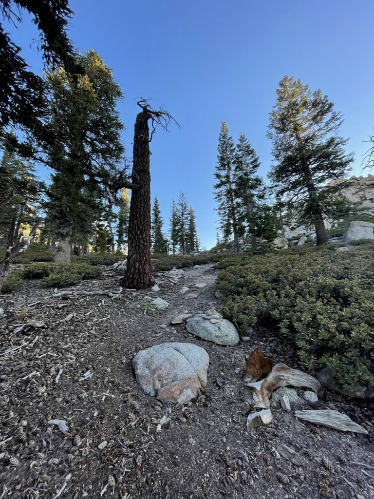
There were a few switchbacks as the trail climbed higher. At 2.7 miles I reached Sirretta Pass at 9500 feet. I left the trail to climb up to the saddle between Sirretta Peak and Peak 9980. 2 cairns marked the spot where the off-trail portion of the route begins.

I hiked west up the steep slope. There was a decent use trail and some cairns to help guide the way.
I soon reached the saddle and then turned south to head towards Sirretta.
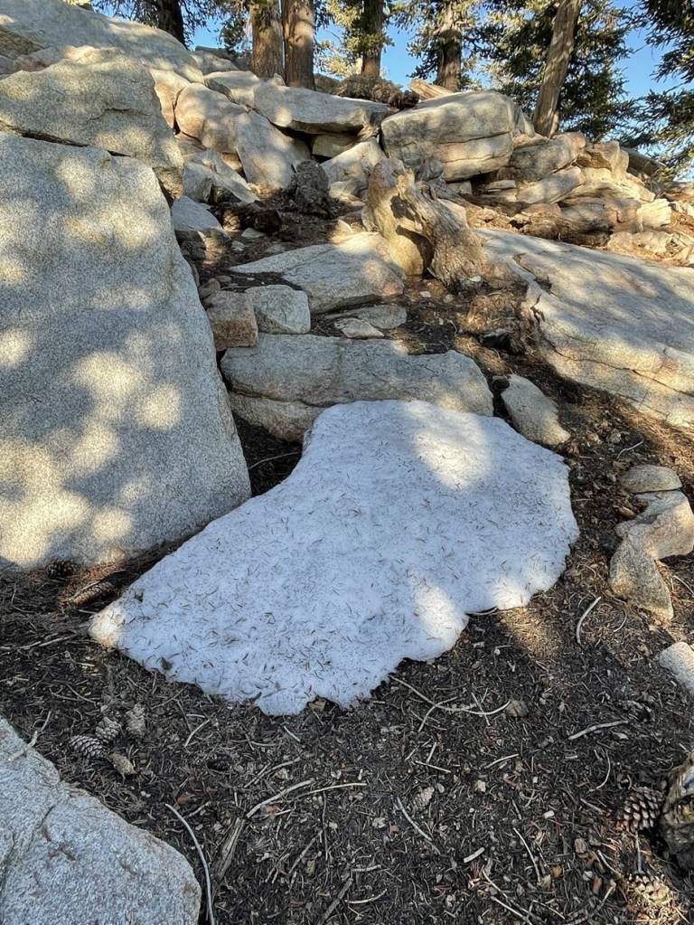
It was fairly flat from the saddle to the peak. I noticed the ground was frozen.
I even found a few small patches of snow.
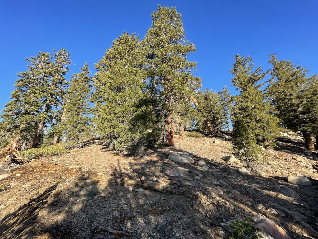
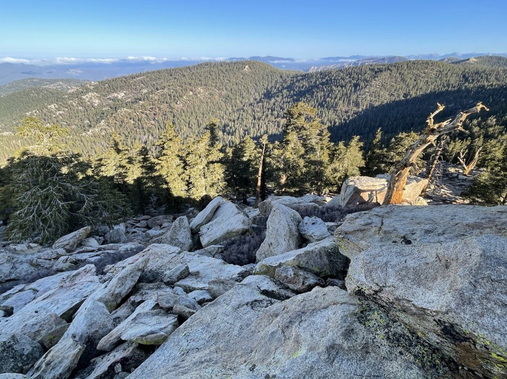
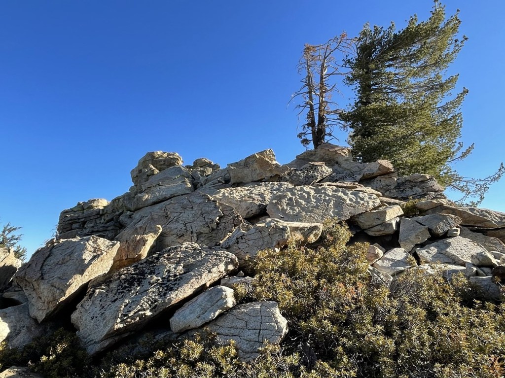
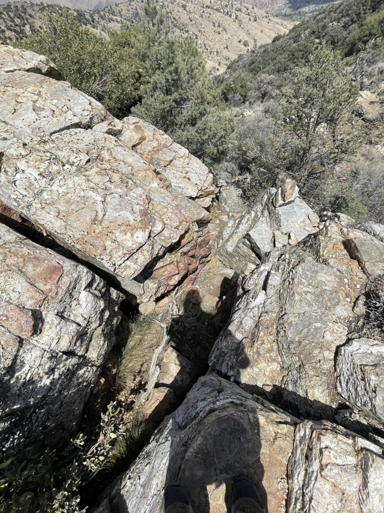
I soon reached the summit area. It was fun scrambling up the rocks; nothing more than class 2 required for this one.
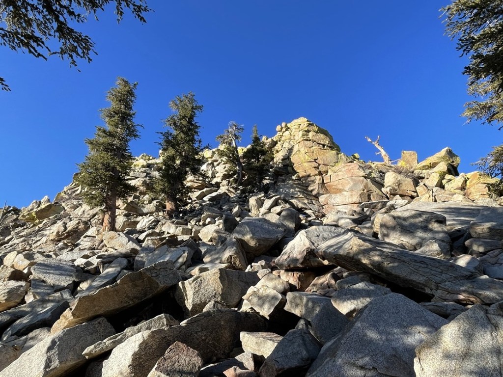
I climbed directly up the north side.
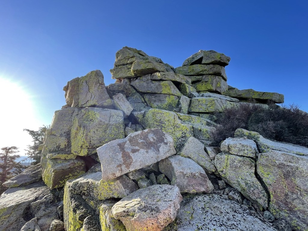
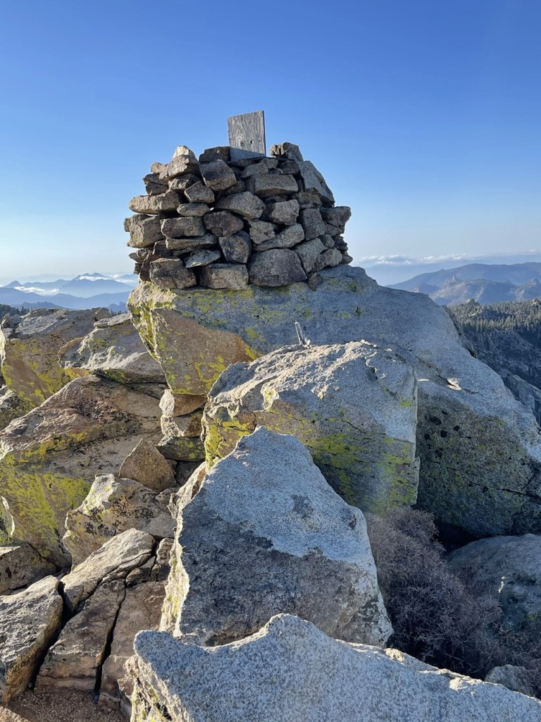
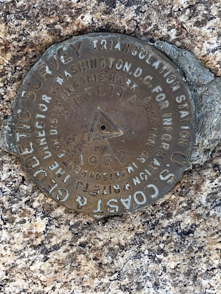
I reached the summit at 7:02am at 3.4 miles! There was a large rock pile on the summit.
I found 2 separate benchmarks.

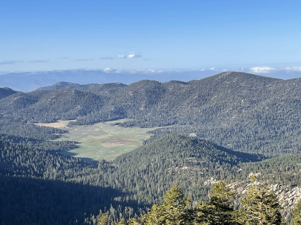
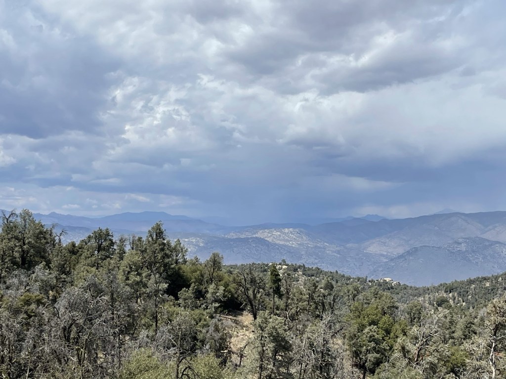
I signed the register which dated to 2019. There was no pen/pencil in the can but thankfully I had brought my own. The previous ascent was just 3 days earlier. It was very clear compared to the previous day, so the views were excellent. Directly south I could see Big Meadow with Cannell Peak rising above it on the right.
To the southeast I could see Spanish Needle, Owens Peak, and Mount Jenkins.
I descended to the north after a 15 minute break.
I hiked north along the broad ridge towards Peak 9980.
Similar to Sirretta, Peak 9980 required a short class 2 scramble to reach the summit.
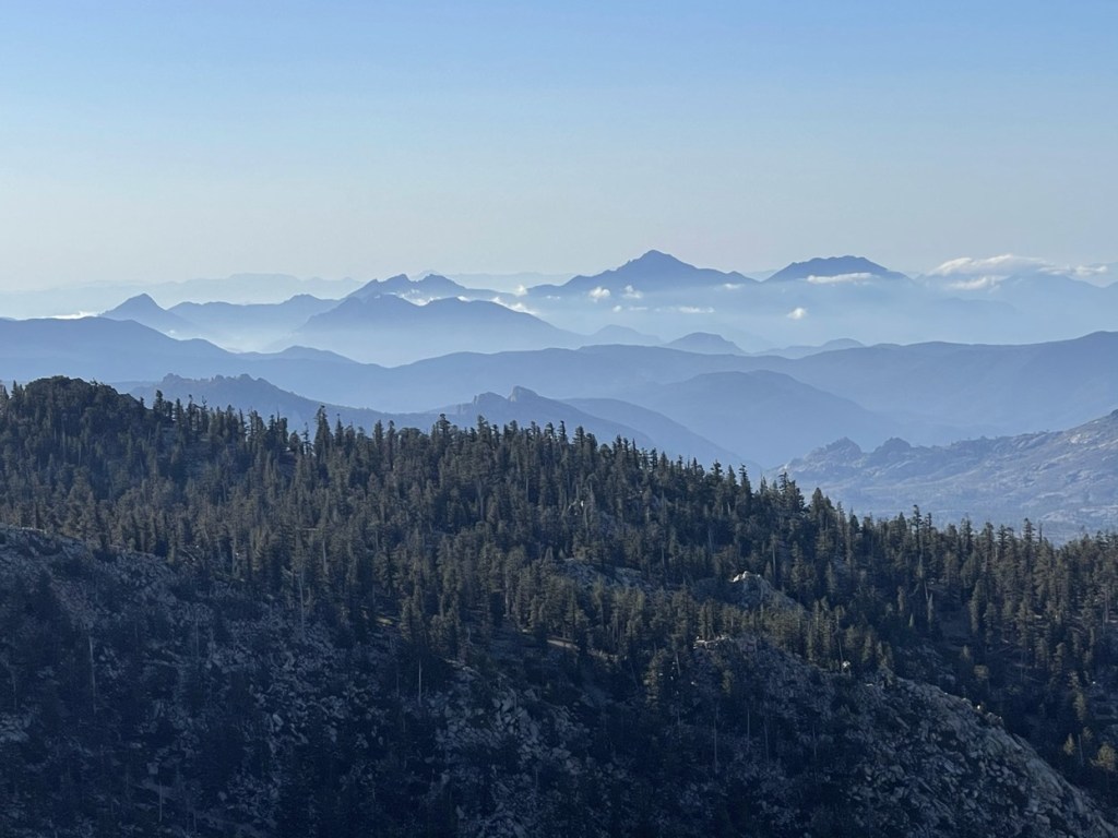
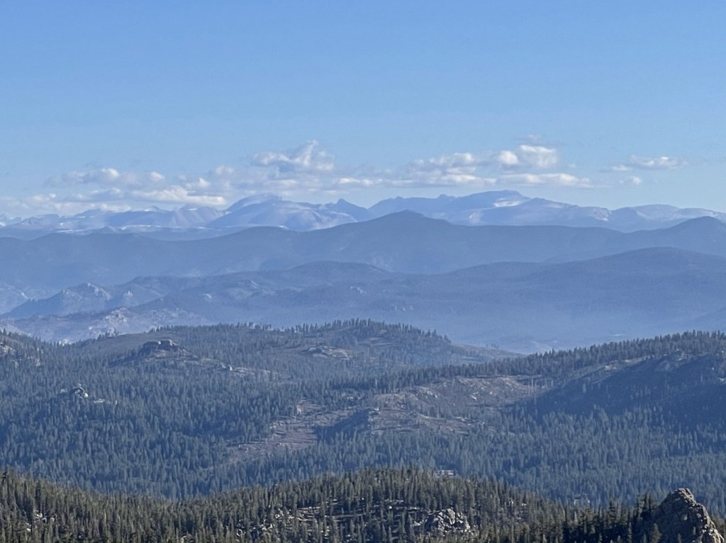
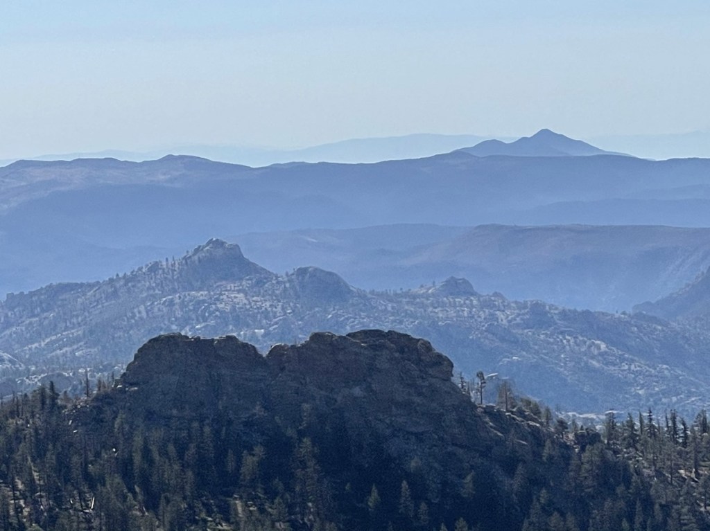
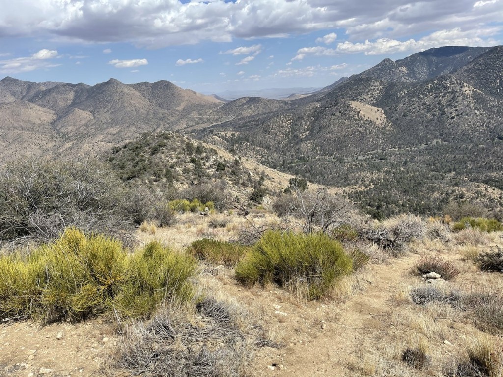
I reached the top at 7:40am at 4.2 miles! I signed the register which dated to 2010. The previous entry was from December 2020. They noted that they had also climbed Sirretta but had been unable to sign the register due to no pen/pencil. Peak 9980 had the best views of the entire weekend. The sky was perfectly clear, and I had an unobstructed view of the High Sierra to the north. Pictured below is the Mineral King area of Sequoia National Park and Mount Kaweah on the right.

I could even see 14ers Whitney and Langley along the Sierra Crest to the northeast.
Olancha Peak was impressive as always to the east.

I started descending from Peak 9980 after a 15 minute break.
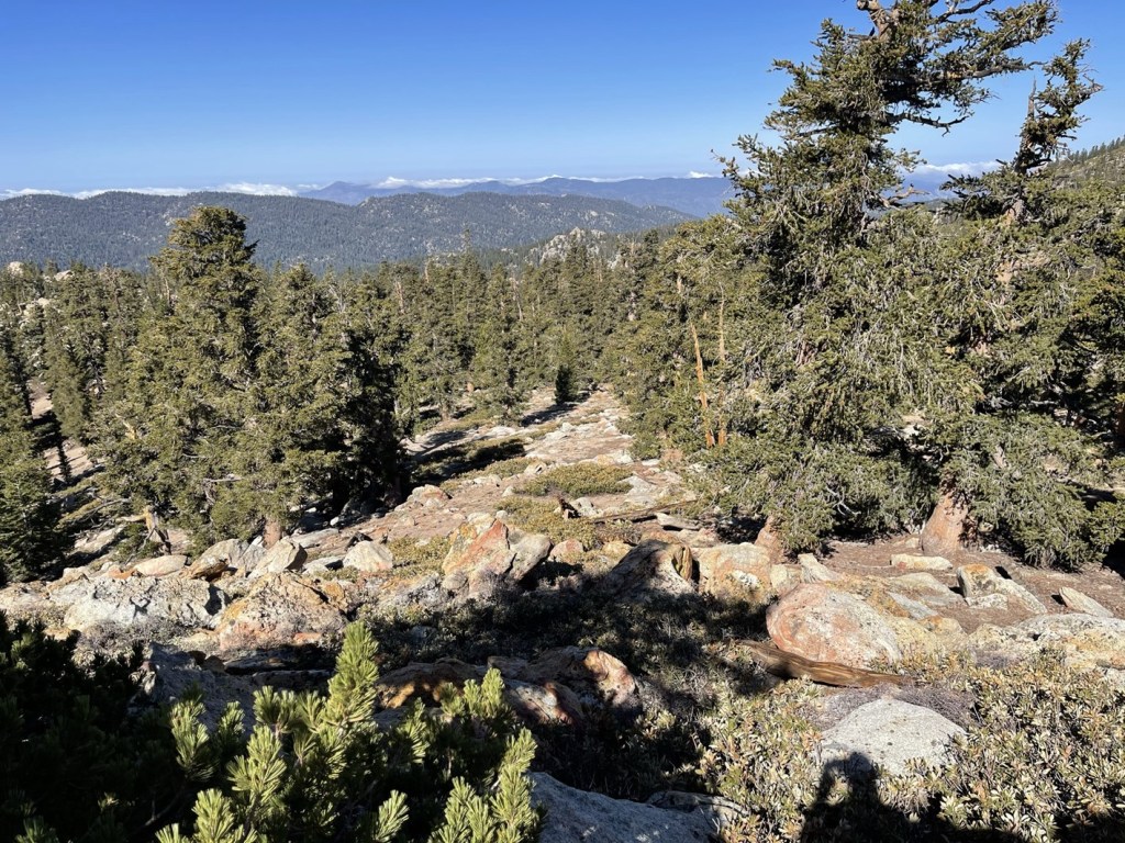
I returned to the saddle and then descended back to the main trail, which I reached at 4.7 miles. After just a tenth of a mile I left the trail again and hiked southeast towards the wilderness high point. Note that Sirretta Peak and Peak 9980 are both outside the wilderness boundary which is why they are higher than the wilderness high point.

I crossed over to the east side of the ridge and then descended to a minor saddle.

I passed the saddle and then ascended about 200 feet to the high point. Like the previous 2 peaks, the summit area was rocky and required some class 2 scrambling.

I climbed up and reached the summit at 8:40am at 5.6 miles! I signed the register which dated to 2016. The previous ascent was July 2020. The views were pretty much the same, but I had a good perspective of the first 2 peaks of the day. Sirretta is on the left and Peak 9980 is on the right.
I also had a good view of Rockhouse Peak which I climbed the day before (rocky dome left center).
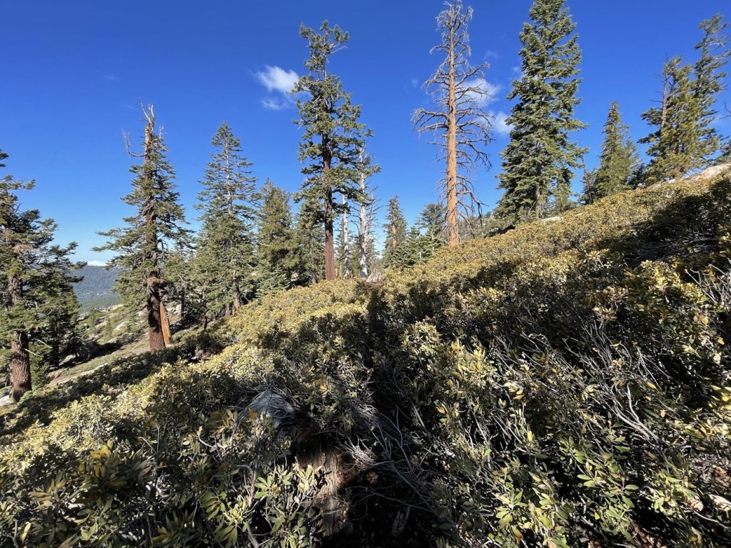
I began descending after a 15 minute break. Rather than backtrack to Sirretta Pass, I descended a more direct route to the west.
There was one short brushy section to fight through.
The descent to the trail was pretty steep. I was glad I hadn’t chosen to ascend this direction.
I reached the trail again at 6.3 miles.
From there it was about 2 miles back to the trailhead. I reached the car at 9:56am. This hike totaled 8.22 miles, 2575 feet elevation gain, and 4:38:20 total time.


Pinyon Peak
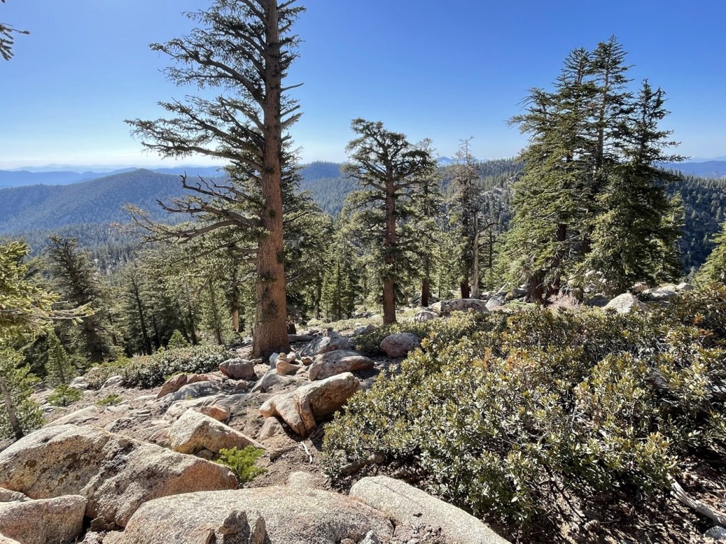
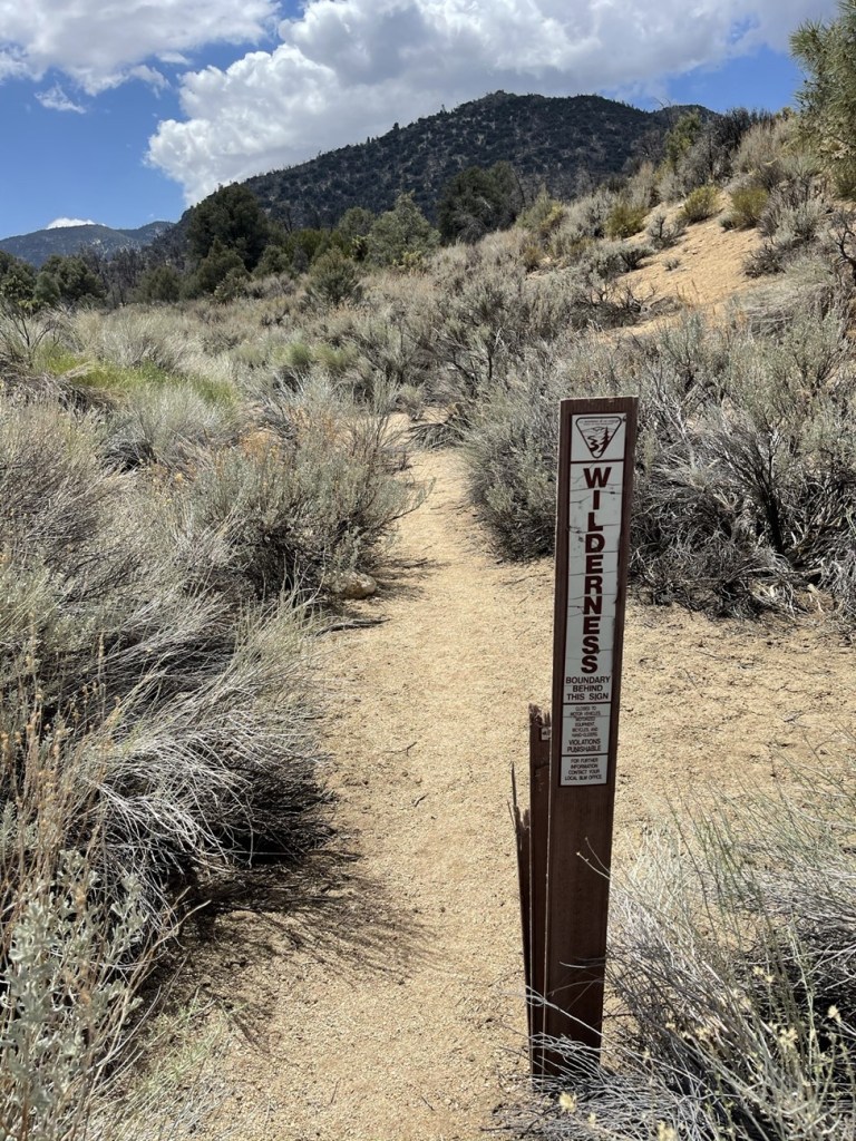
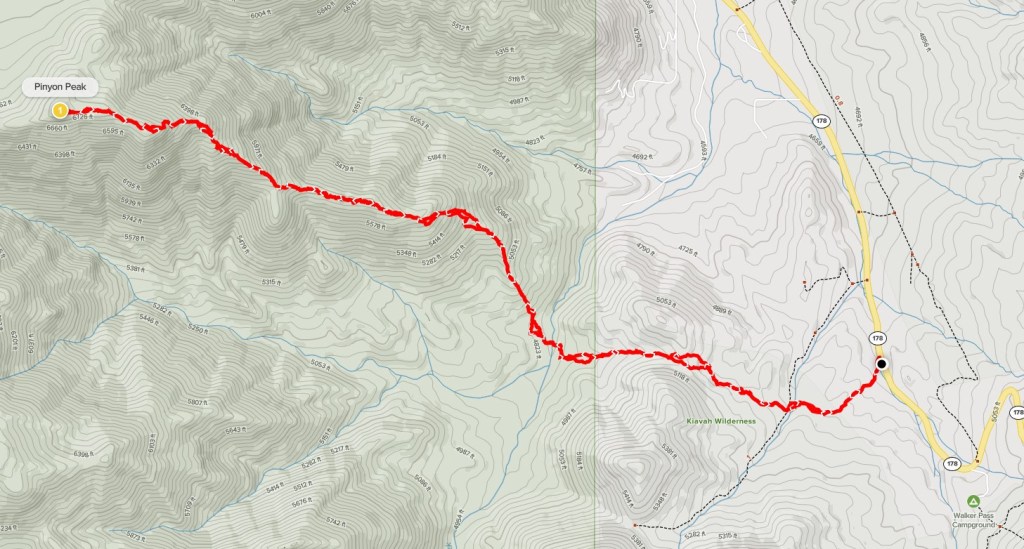
It was very early still so I knew I had time for another peak or 2 before heading home. I considered climbing nearby Cannell Peak which I had missed out on the day before, but instead I decided to leave the Sierra and climb one of the many nearby HPS peaks south of Highway 178. I settled on doing 6805 foot Pinyon Peak – the standard route is just over 7 miles which I thought would be a perfect distance for the amount of time I had left in the day. The trailhead is on Highway 178 a few miles west of Walker Pass. It took just over 2 hours to make the drive from Big Meadow, but thankfully it was on my way home so didn’t require any extra driving. I parked on the side of the highway and began this hike at 12:07pm from 4837 feet. I immediately entered the Kiavah Wilderness as I hiked west from the road.
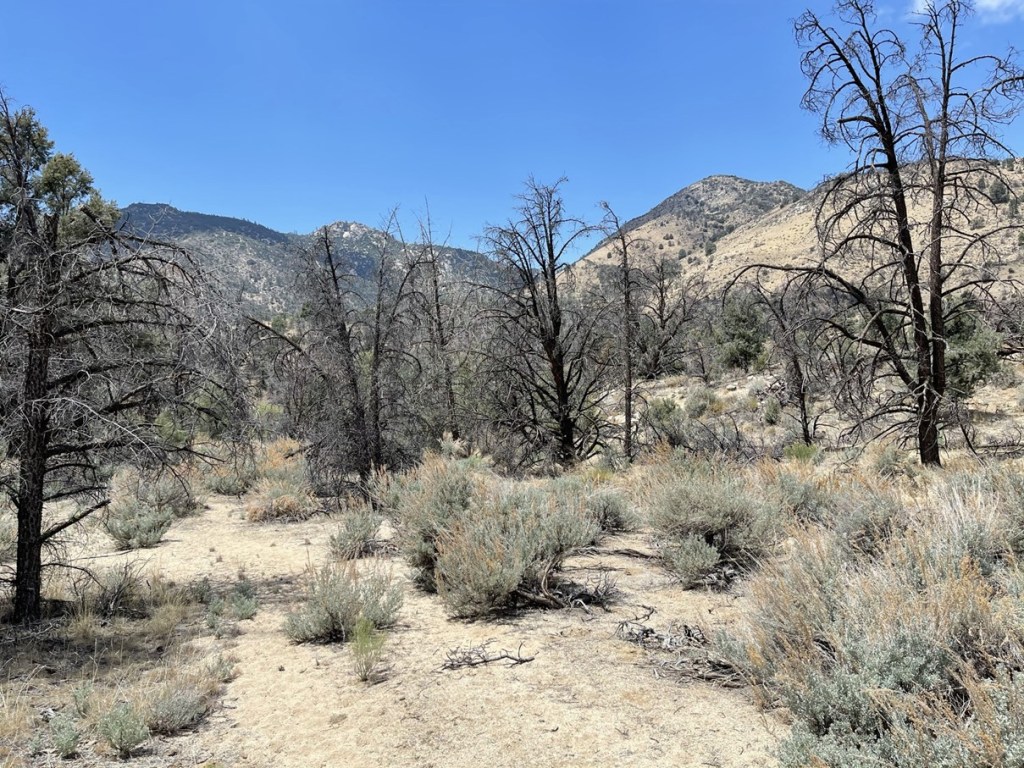
It was nearly 80 degrees when I started so it felt pretty warm, especially after how cold the morning was. I followed a decent trail use trail to the west. This was my second time in the Kiavah Wilderness – my first was when I climbed nearby Scodie Mountain in April 2020. Despite being so close to the Sierra, this area is quite a bit drier (the lower elevation has a lot to do with this).
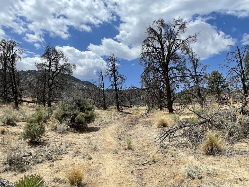
There were lots of dead trees blocking the trail.

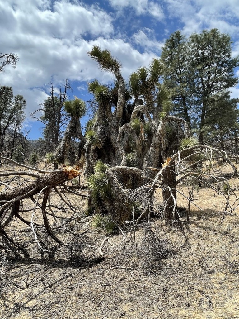
There were even a few Joshua trees scattered around.
At 1.1 mile I passed a national forest sign.

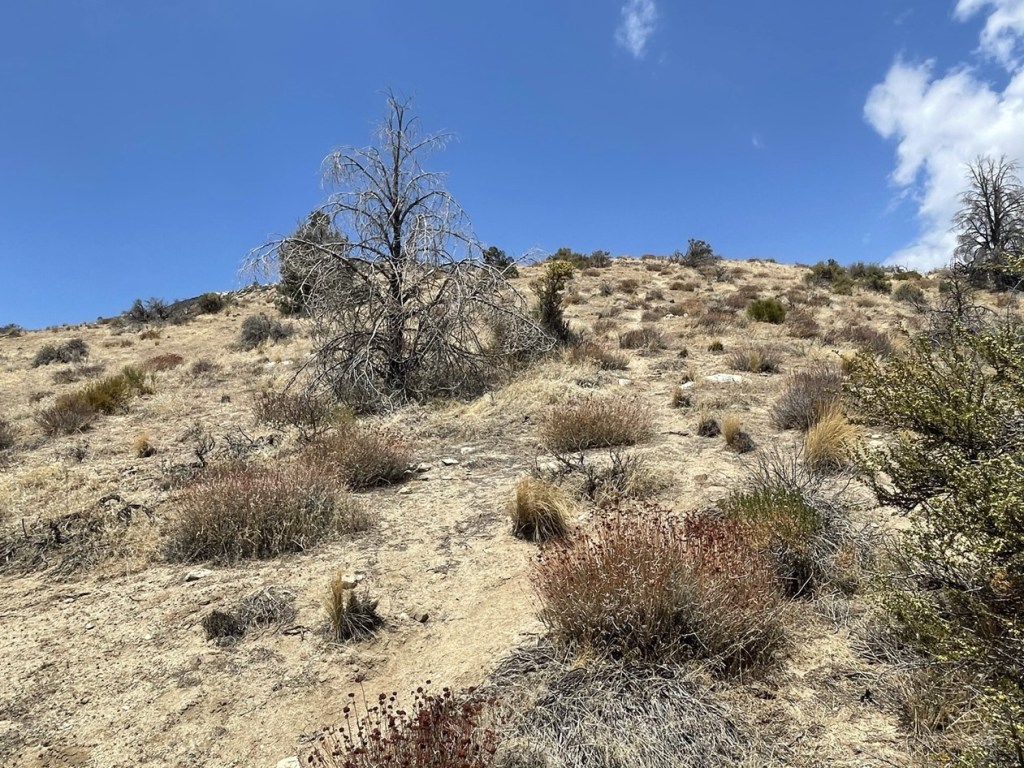
There were many ups and downs in the this first section, but no significant elevation gain. The trail was pretty vague and hard to follow in places, but thankfully the brush wasn’t much of a factor.
At 1.4 miles I crossed Jacks Creek. This was the low point of the hike at 4775 feet. The area around the creek was extremely brushy, and I had to crawl to get under a few branches.

After the creek I turned northwest and began climbing up the ridge. It would be very steep the rest of the way (2100 feet in 2.2 miles).
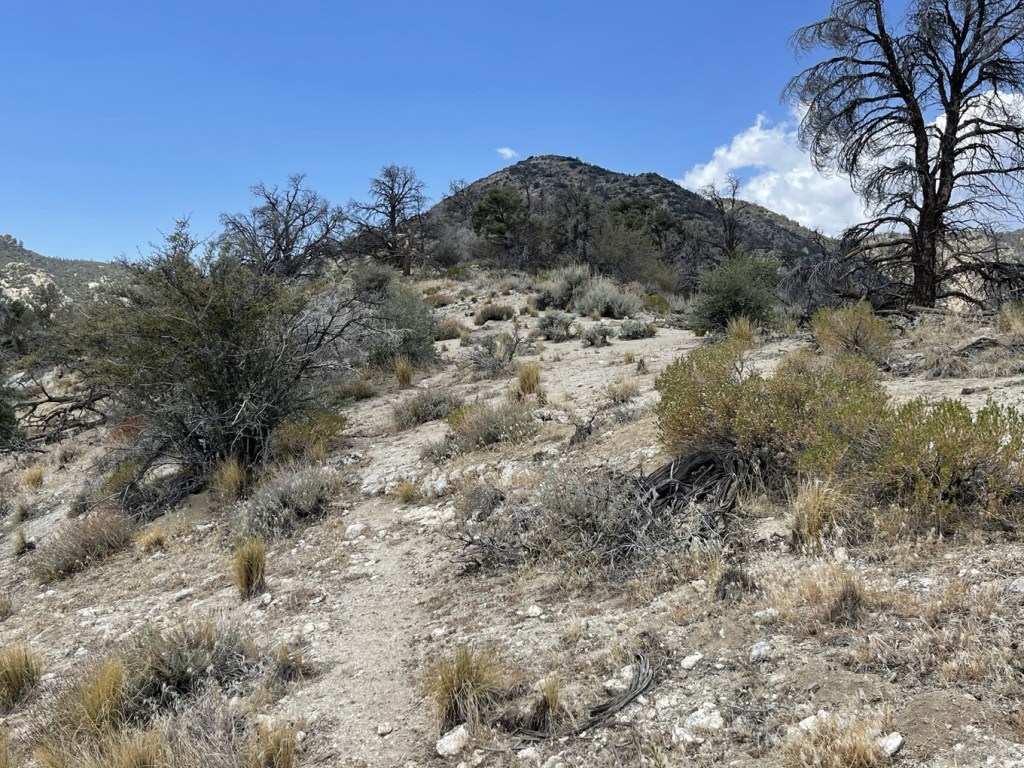
There was a decent use trail up the ridge. I turned west again as the trail flattened out for a little while.
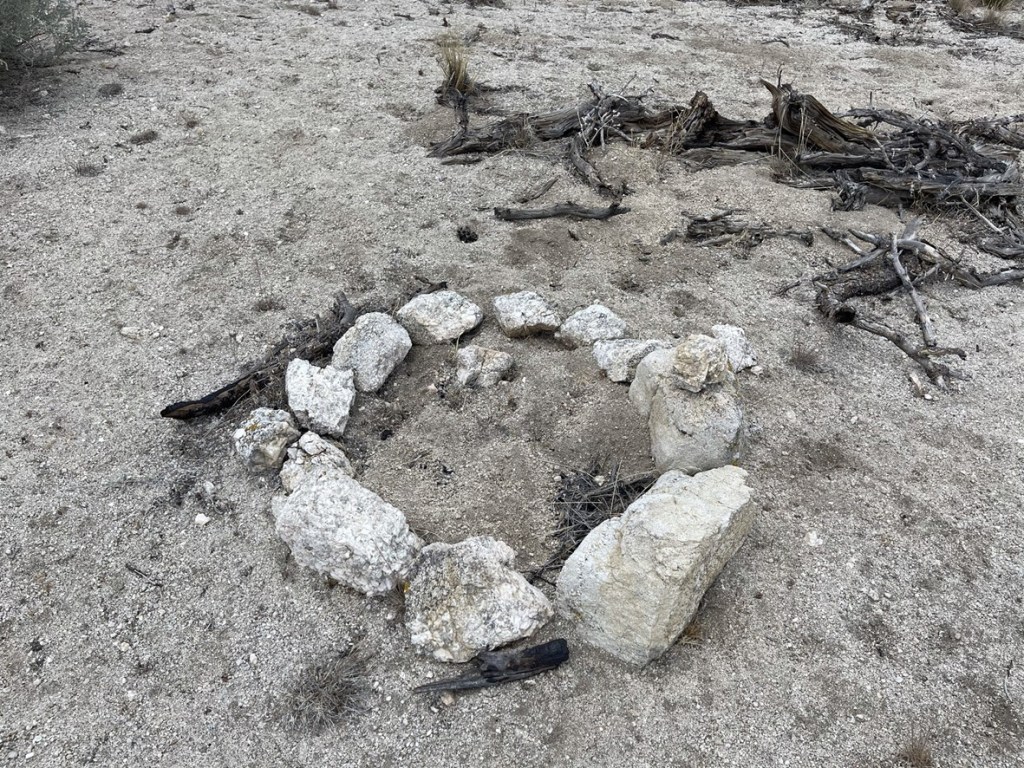
I found a random circle of stones on the side of the trail. It looked like a fire ring, but I didn’t see any recent evidence of a campfire.
After the flat part, the route steepened again.

The brush became more of a factor as I climbed higher.
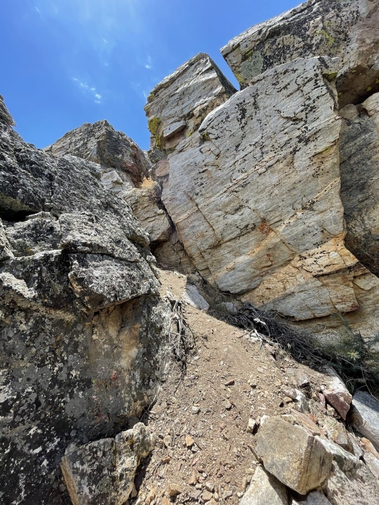
There was one small rocky part I had to climb up. Nothing above class 2.
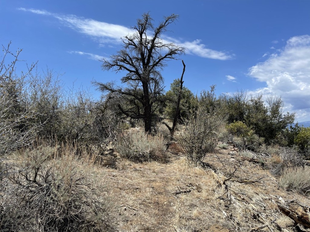
The summit finally came into view.

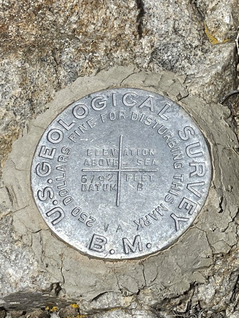
I reached the summit at 1:53pm at 3.6 miles! I signed the register which had been placed by Mars Bonfire in 1999. The previous entry was from May 2. I located one benchmark.
The views weren’t great due to the brush, but I was able to walk around the summit area and get some decent pictures. It was starting to cloud up and look threatening over the Sierra once again.
I had a great view of Spanish Needle (left) and Owens Peak (right).

I began descending after a 20 minute break. I climbed carefully down the rocky section.
I made really good time down the sandy ridge. I was able to “plunge step” down large portions of it which really increased my speed.
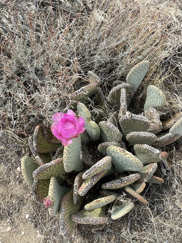
There were some pretty pink flowers near the bottom of the ridge.
I crossed the creek again at 5.9 miles. It really started to look dark for the last mile or so.

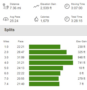
It started to rain about a half mile from the trailhead, but like yesterday, it was very light and barely got me wet. I reached the car at 3:35pm. This hike totaled 7.36 miles, 2539 feet elevation gain, and 3:28:15 total time.
I packed up and made the 4 hour drive home to San Diego. It was a great 3 day trip to the Sierra, and it made me very excited for more trips this summer!
