Rock Point (5280 ft), Butterfly Peak (6240 ft), and Ken Point (6423 ft) are 3 HPS peaks located along the Desert Divide in Riverside County. The Desert Divide is a long ridge of peaks extending south from San Jacinto, dividing Garner Valley to the west and the Coachella Valley to the east. It had been a long time since I had climbed any peaks in the area, so I was excited to get back and do some easier HPS peaks after spending most of my summer weekends in the Sierra. I left San Diego Saturday morning and drove about 1 hour 45 minutes to the trailhead. From Highway 74, I went right on Devils Ladder Road, left on Tool Box Spring Road, right on Butterfly Peak Road, and right on Table Mountain Road. I parked at the intersection of Table Mountain Road and Pathfinder Road. I began hiking at 9:28am from 4583 feet above sea level.
I set off west on Pathfinder Road. There is a private property sign on Pathfinder Road and a few large ranch houses on each side. I was a little uneasy, but there were people out and no one seemed to mind my presence. Previous trip reports also indicated no issue with accessing national forest land from here. I reached the end of the road and then turned left onto a rough dirt road that went north between 2 fences. I went past 2 more ranch houses on each side and then was in the clear.
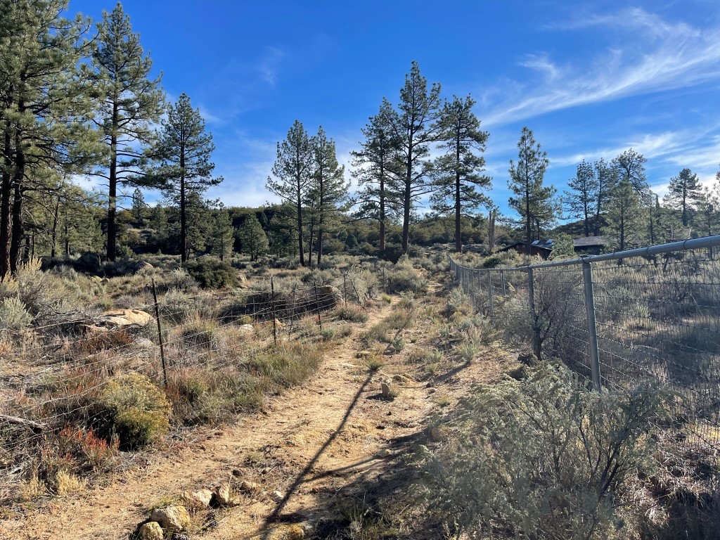
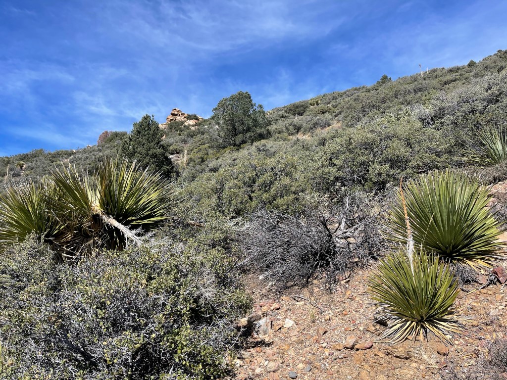
I followed the rough road north for a short way and then turned west towards Rock Point. I proceeded cross country for about a mile.
The terrain was very desert-like with sporadic pine trees mixed in. I intersected another road which I followed south for about a tenth of a mile. I then hiked southeast on a use trail up to Rock Point.
I reached the summit area at 10:30am at 2 miles. Unfortunately, I was unable to climb to the highest point since the summit block was a class 5 boulder.

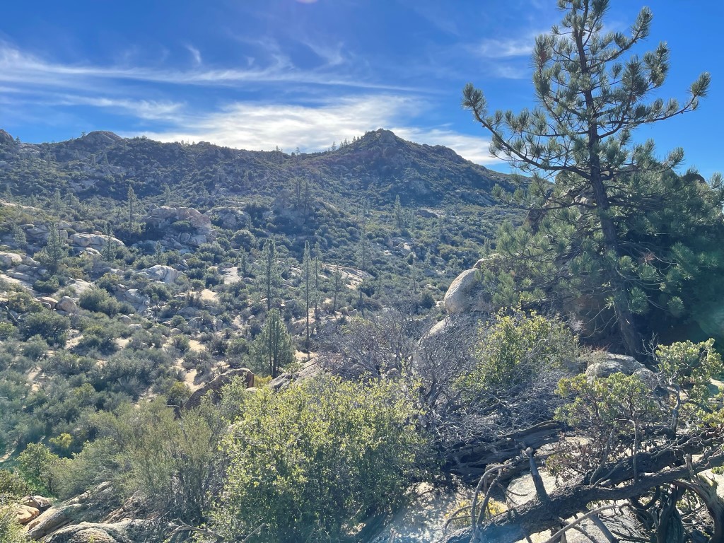
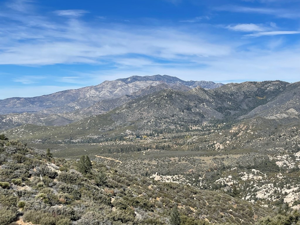
I did not locate a register. I had a good view of Butterfly Peak to the north:
I climbed up a class 3 boulder northwest of the summit block just for fun, and then descended the use trail back to the road. I hiked north on the road for a couple miles, bypassing Gold Hill on the west side. The road was very rough and overgrown. I noticed some old mining equipment off to the side.

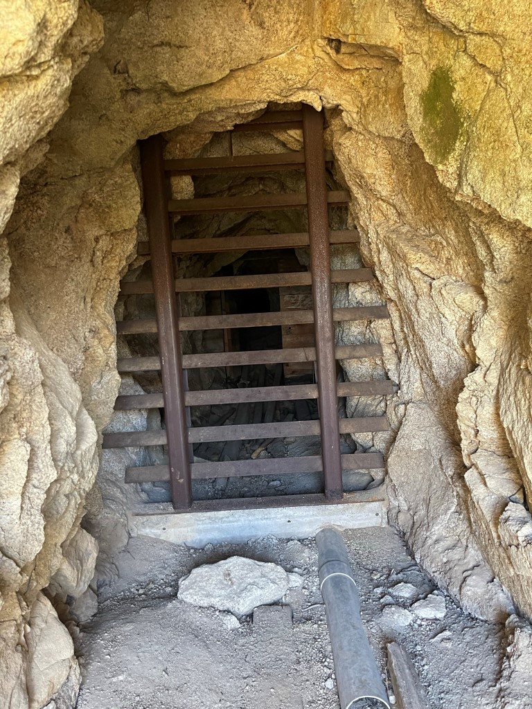
I passed a mine shaft a short while later. There was an information board about local bat species nearby.
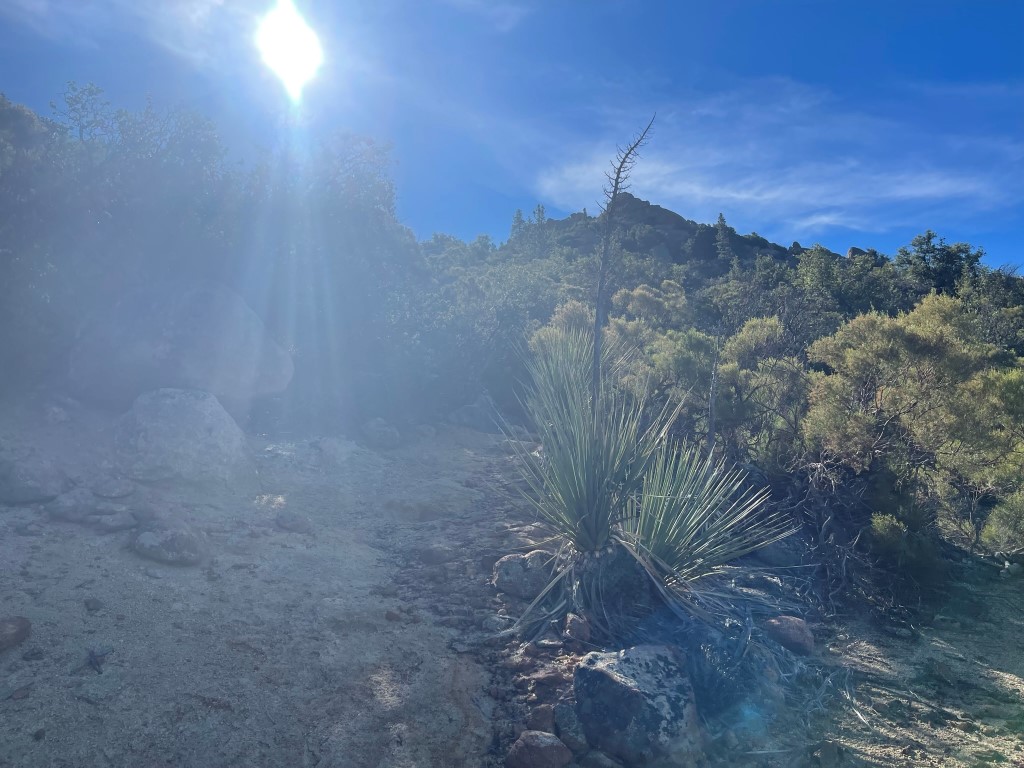
The road made a couple switchbacks and started to gain elevation as it continued northeast. I lost the road at one point and had to climb directly up a brush-infested slope. At 4.6 miles I left the road to make the 500 foot climb to Butterfly Peak.
I was mostly able to follow a narrow use trail through the brush. The summit was a simple class 2 scramble. I reached the summit at 12:27pm at 5.2 miles! The register was completely soaked so I was unable to sign it. I had a great view of San Jacinto to the north:
I descended directly to the southeast. There was no use trail in this direction, so I had to fight through the brush. I reached the road again at 5.6 miles. It descended a hundred or so feet and then turned north and climbed to the PCT, which I reached at 6.7 miles.
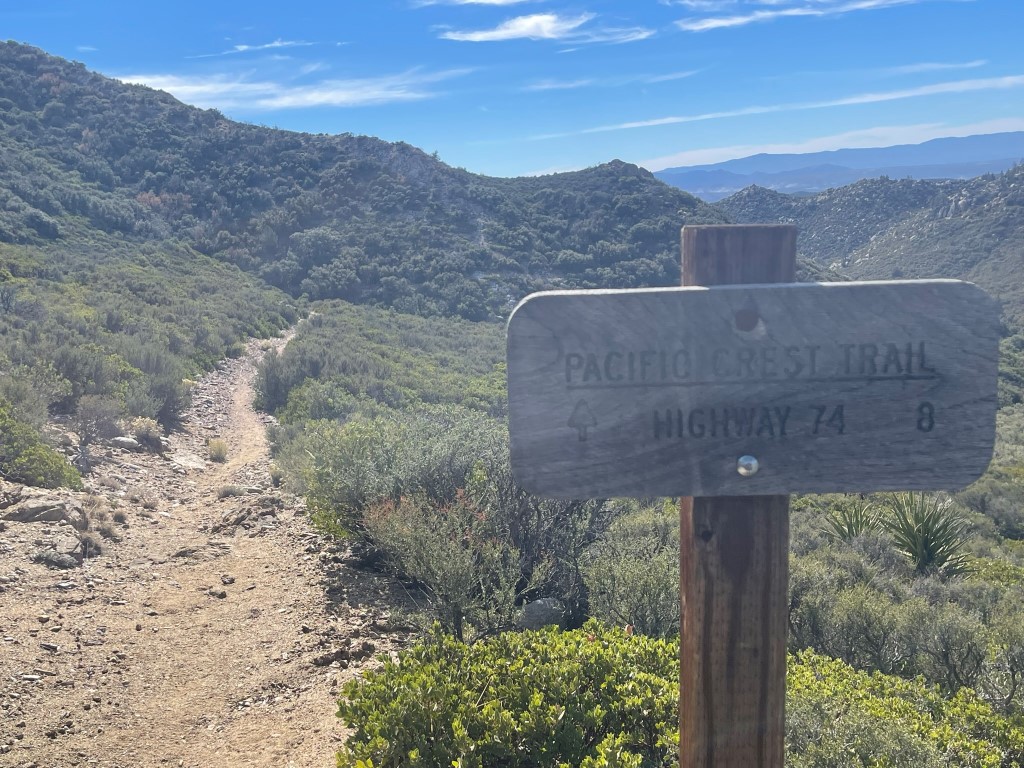
In my head, Ken Point was just off the PCT, so I hiked south for about 0.8 miles before realizing I was going the wrong way. There is actually a separate trail that goes directly southeast to the peak from the previous junction. I backtracked to the road junction and found the correct trail.

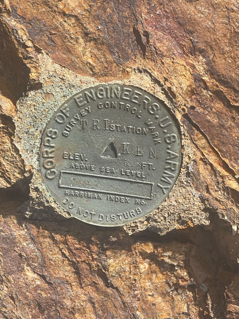
I hiked southeast for a little over a mile as the narrow trail followed the ridgeline. The trail eventually turned into an old road as it neared Ken Point. I left the road and climbed the remaining 300 feet through low density brush. I reached the summit at 2:42pm at 9.6 miles! I signed the register which was placed in February. There were only 4 previous entries, and it was most recently signed in August. I located a US Army benchmark.
I could see the desert ranges of Joshua Tree National Park to the east, with Asbestos Mountain in the foreground:

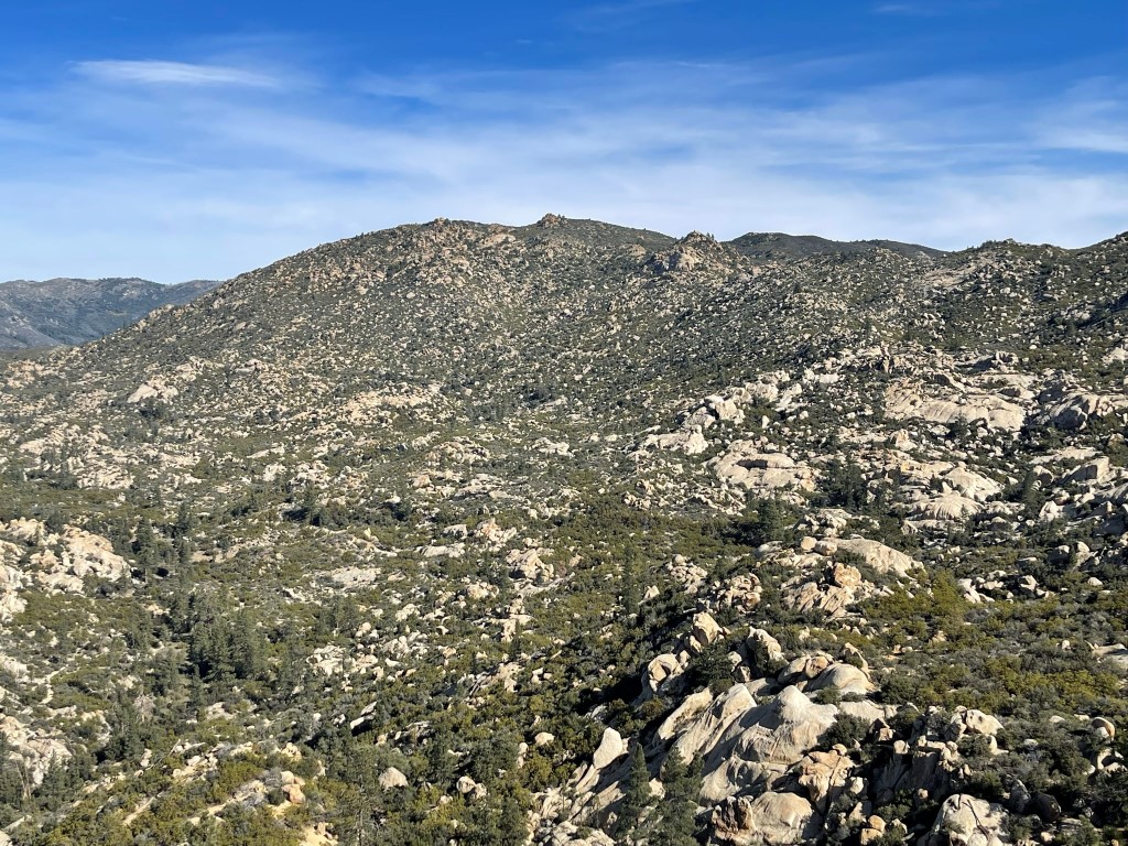
Martinez Mountain and Toro Peak to the south:

I returned the way I came, bypassing Butterfly Peak to the south. I made a quick ascent of Gold Hill on the way back, as it was only 200 feet off the road. There was a cool information board about the area’s mining history near where I left the road to make the climb.

I reached the summit of Gold Hill at 4:46pm at 14.3 miles. I did not locate a register. I had a cool view of the sun setting over Thomas Mountain to the west:

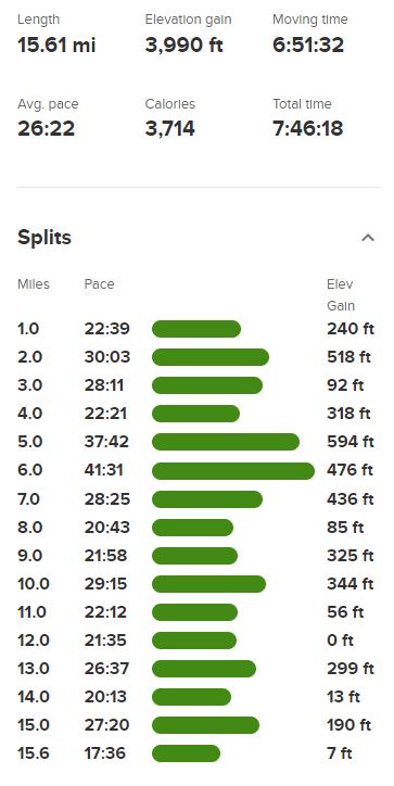
I descended directly south to the road and then hiked back to my car, which I reached at 5:14pm. Stats for this hike were 15.61 miles, 3990 feet elevation gain, and 7:46:18 total time.

I was considering a climb of West Toro Peak the next day, so I planned to make the long 10+ mile drive up the Santa Rosa Truck Trail that evening. The road was in bad shape, so I gave up after less than a mile. I certainly could have kept going, but I really wasn’t in the mood for over an hour of white knuckle driving. I assumed that the road hadn’t been graded since the summer monsoon storms. I found a large turnout near the highway to spend the night while I reevaluated my plans for the next day.
