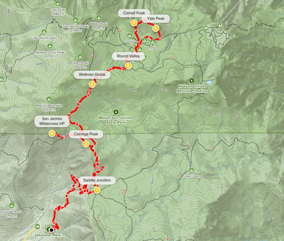
Cornell Peak (9750 ft), Harvard Peak (9550 ft), and Yale Peak (9369 ft) are a trio of peaks located just east of San Jacinto. Cornell is an HPS peak so it is by far the most popular, but its class 4 summit block also meant it would be the most difficult. I had spent the previous night camped along the Santa Rosa Truck Trail just off Highway 74. I woke up later than I had intended due to time change confusion, so I was about 30-45 minutes behind schedule. I drove 30 minutes to Idyllwild, where I picked up a wilderness permit at the ranger station. I drove another few minutes to Humber Park at the north end of town and parked in the large parking lot. I began hiking at 6:13am from 6512 feet above sea level.
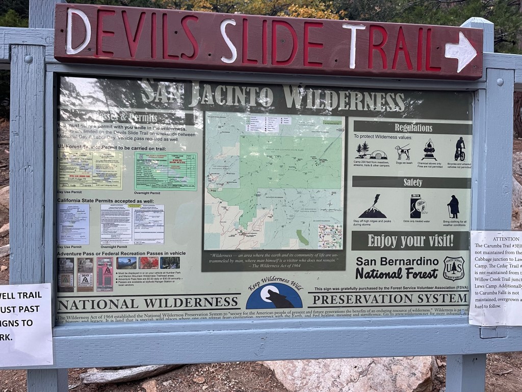
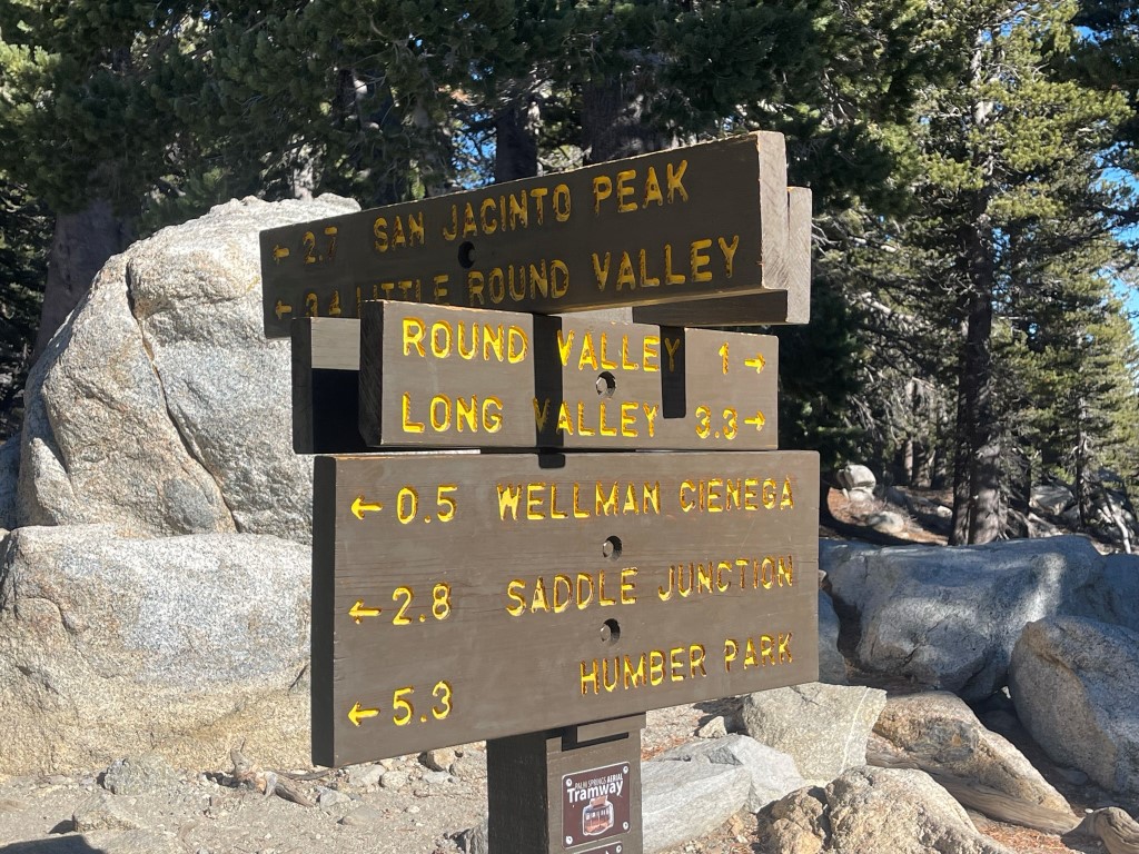
The Devils Slide Trail is a very popular trail that ascends to Saddle Junction from Idyllwild. During the summer months it is subject to a daily quota, so I was happy to not have to deal with that in early November. I passed the wilderness sign just beyond the parking lot.

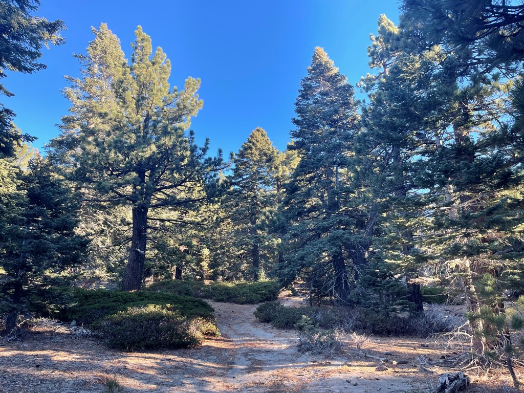
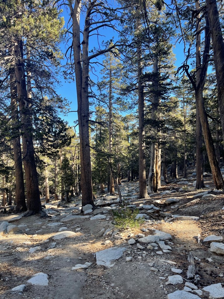
The well maintained trail made a couple switchbacks as it ascended to Saddle Junction.

I had a great view of Suicide Rock to the north.

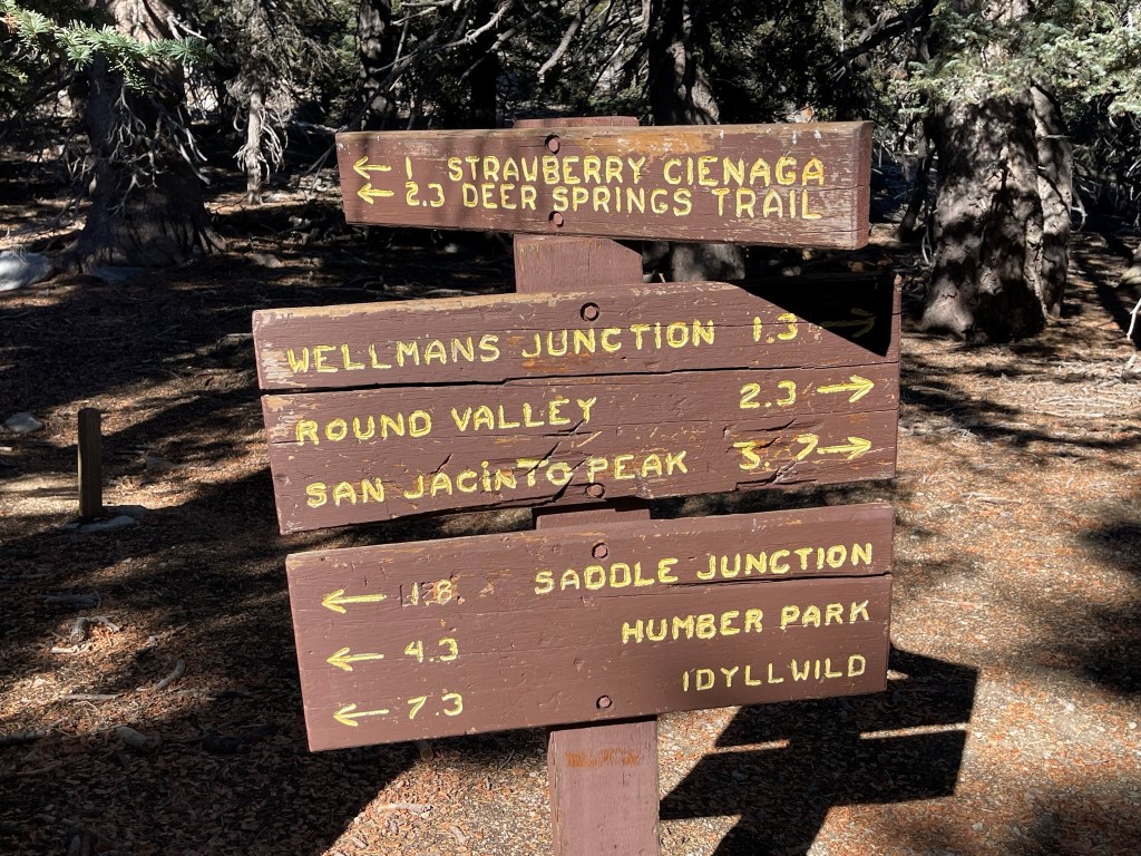
I reached Saddle Junction at 2.6 miles at 8100 feet.
I turned north at Saddle Junction onto the PCT. I continued to steadily gain elevation for the next couple miles.
I reached the next Junction at 4.5 miles at 9000 feet. I continued straight towards Wellman Divide.
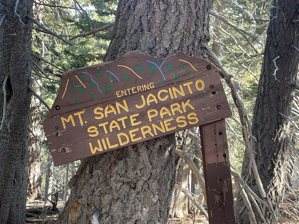
I crossed the boundary from national forest land to state park land.
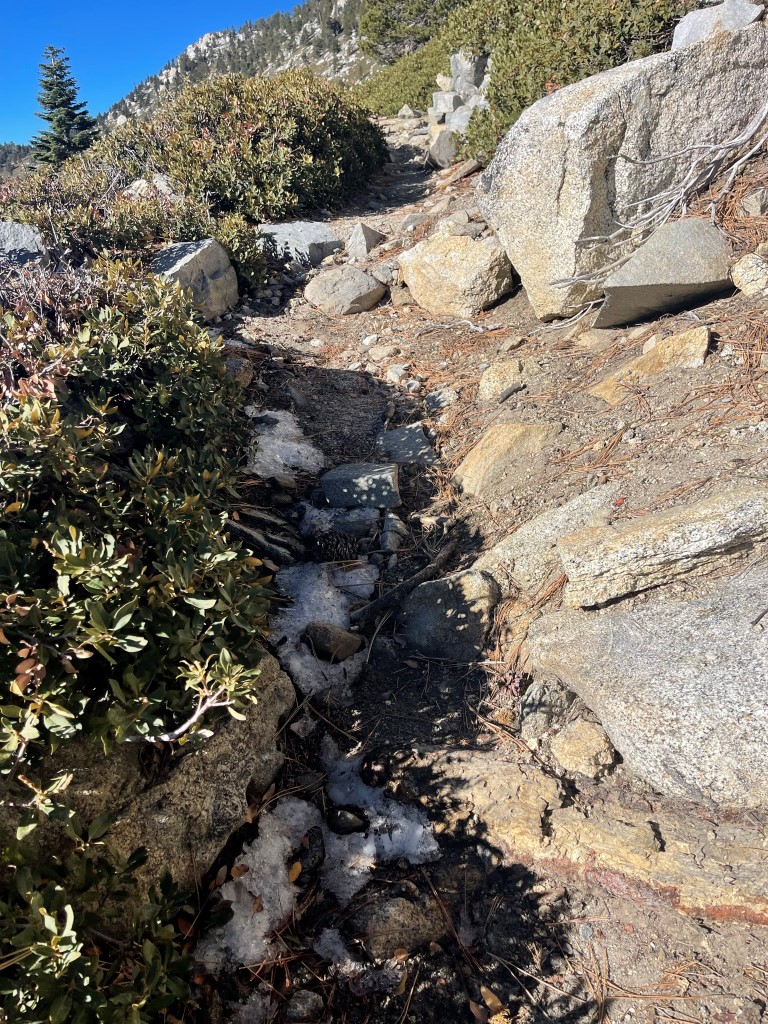
It was chilly in the early morning, but I was comfortable in just my fleece jacket. I noticed a few small patches of ice on the ground.
I reached Wellman Divide at 5.7 miles at 9700 feet. I turned right towards Round Valley.
Now on the other side of the mountain range, I descended about 600 feet to Round Valley.
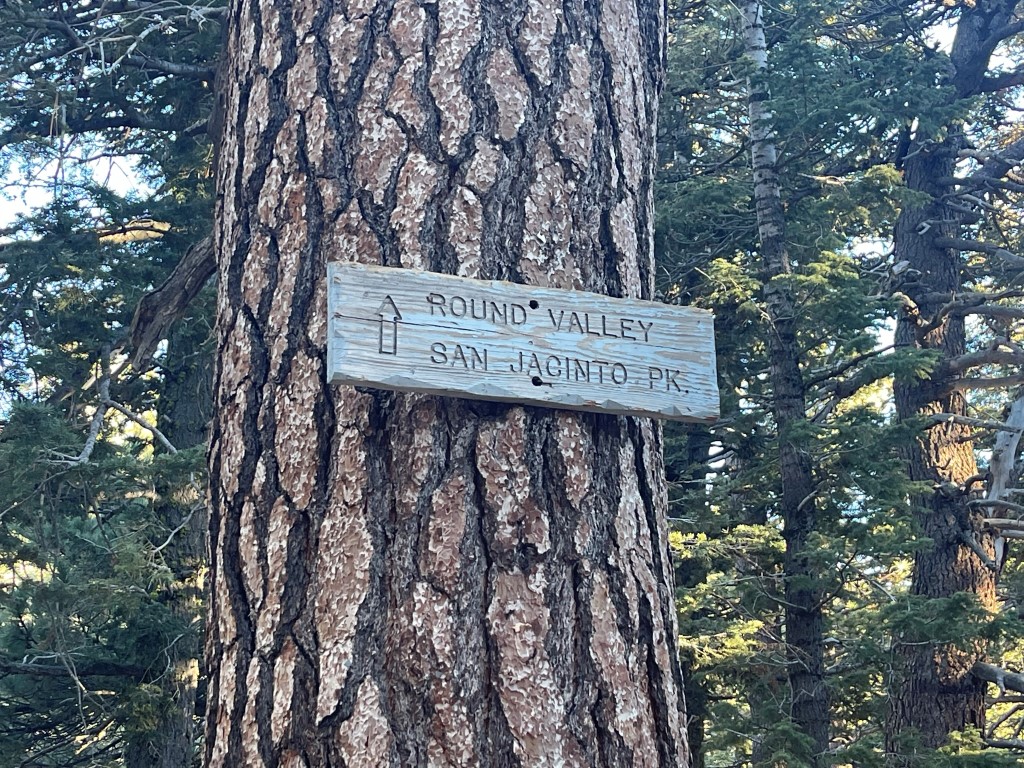
I reached Round Valley at 6.7 miles at 9100 feet. Round Valley is a popular backpacker campground for those attempting San Jacinto as an overnight trip.
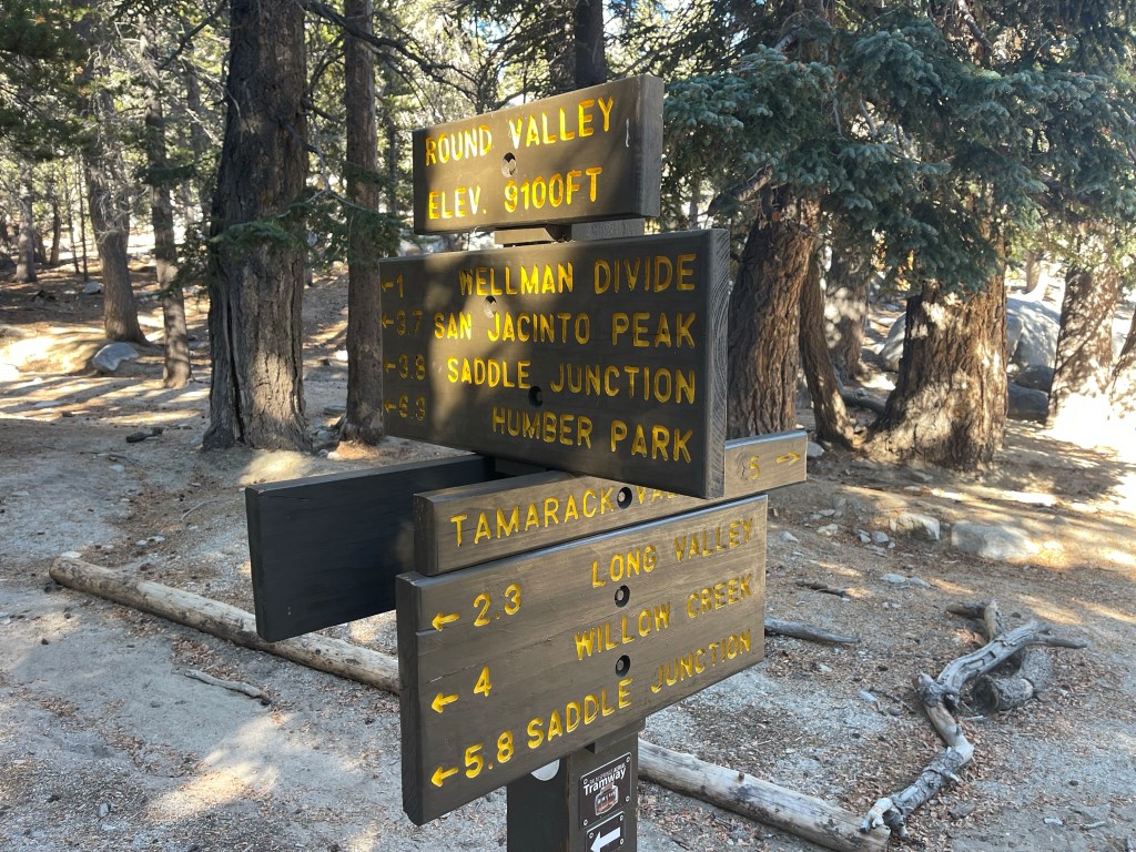
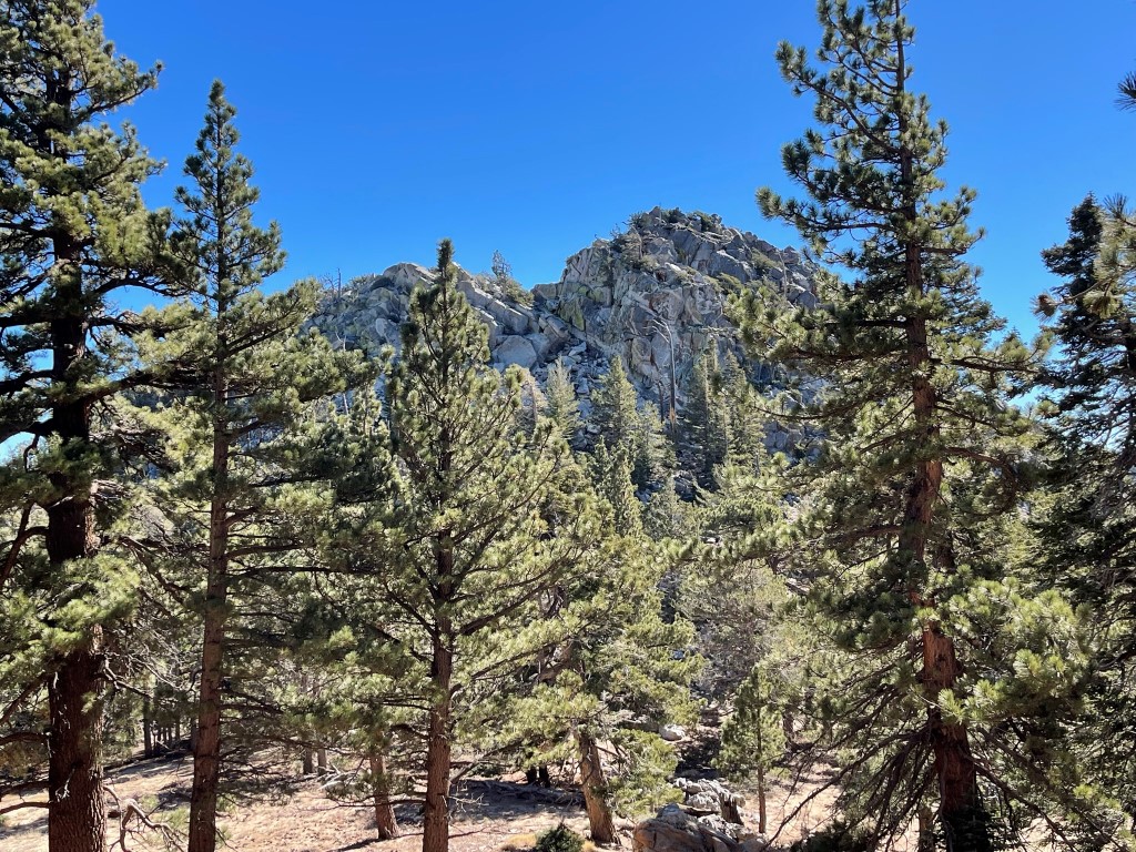
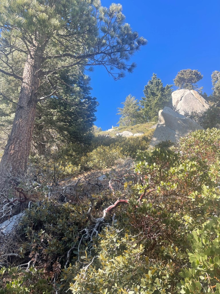
I hiked north past the campsites to Tamarack Valley, which is another backpacker campground. I left the trail at 7.2 miles to make the 700 foot climb north to Cornell Peak.
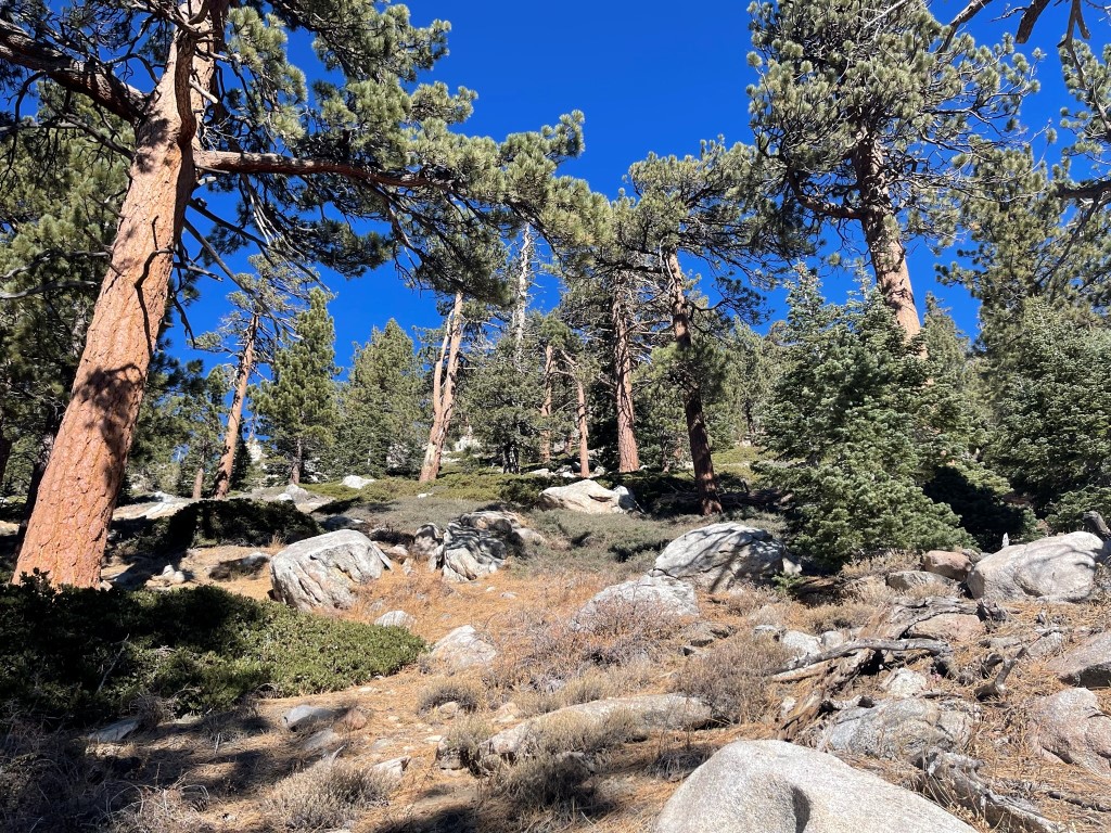
I climbed north up a steep forested slope. I had to do some scrambling over class 3 rock as I neared the top.

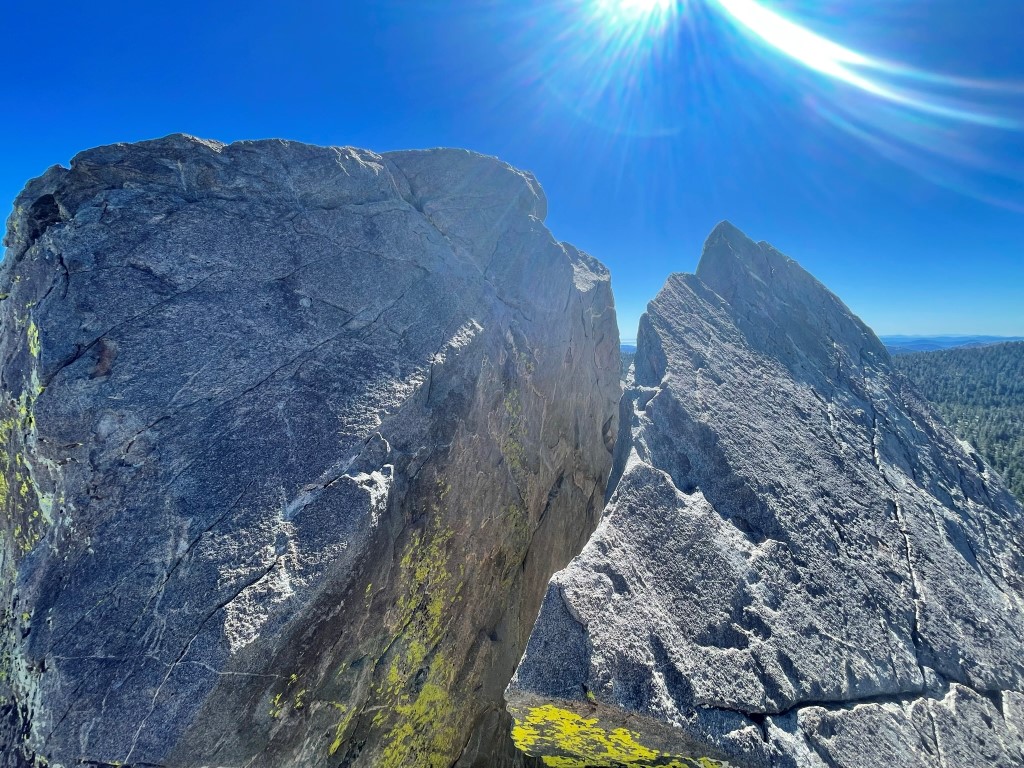
I soon reached the summit block. There were 2 tricky sections I had to get through. The first was a chimney with a chockstone. There were good handholds and footholds, so I didn’t have too much trouble with this part.
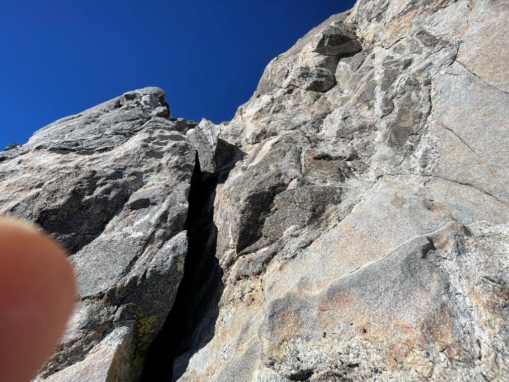
At the top of the chimney, the 2nd tricky part was a narrow rock with lots of exposure on both sides. I started climbing up using a small ledge on the left for my feet, and then transitioned about halfway up to a small ledge on the right. I had to straddle the rock as I moved from the left side to the right side.
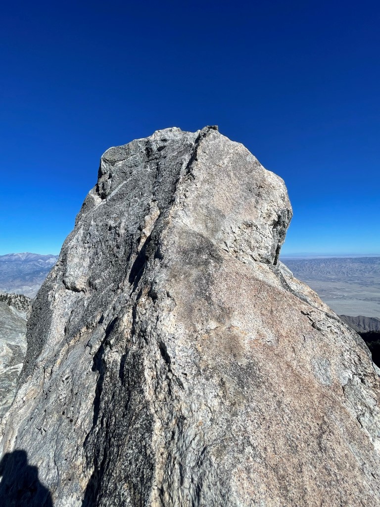
Once I had done that it was easy to climb to the very top. I reached the summit at 9:58am at 7.8 miles!
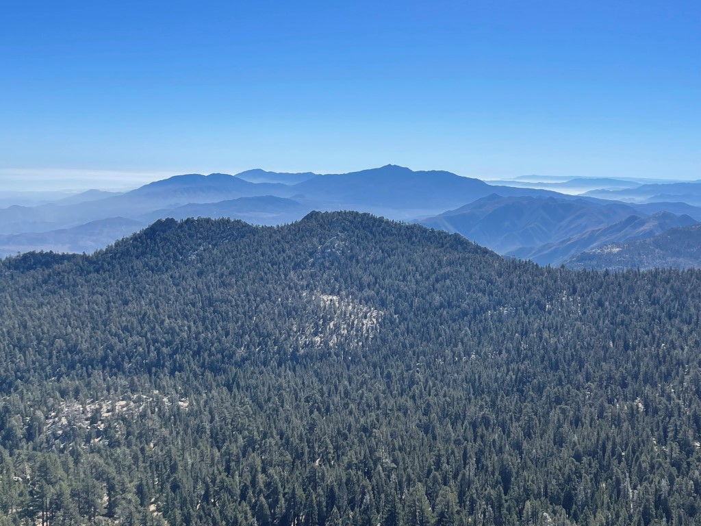
The views were excellent on this crisp, clear day. San Jacinto was close by to the west:

San Gorgonio to the north:

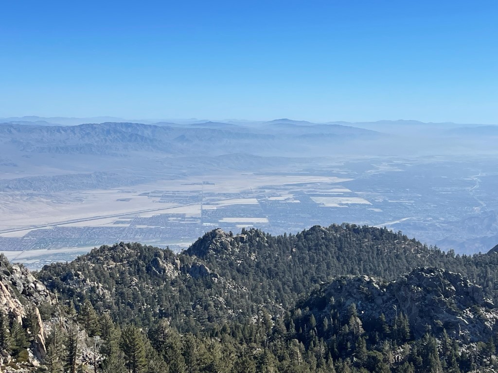
The Coachella Valley to the east, with Joshua Tree National Park behind it:
Martinez Mountain, Rabbit Peak, and Toro Peak to the south:
The register was located beneath the summit block, so I descended and signed it. It was placed in 2017 and most recently signed on September 4. I then proceeded east to Harvard Peak. I had to fight through some brush and then scramble along the ridge between the peaks.

I reached the summit block, which consisted of 2 large boulders with the east one being higher. I friction climbed up the smaller one using the top of it for handholds and then stemmed across to the higher one.
I was on the summit at 10:27am at 8 miles! I had a nice view of Cornell Peak (middle) with Jean Peak (left) and San Jacinto (right) behind it:

I then descended southeast to Yale Peak.
Yale was a simple class 2 scramble. I reached the summit at 10:46am at 8.4 miles. I took a short break and then descended south to the trail. Loose pine needles made for a slippery descent.
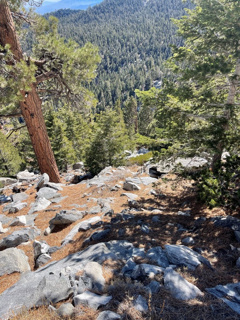
I reached the trail at 8.6 miles. I hiked back through Round Valley and up to Wellman Divide. The trail was getting pretty crowded with hikers going to San Jacinto from the tram station. Half the folks I saw looked like they were close to death, and pretty much everyone was bundled up like it was 20 degrees out. I reached Wellman Divide at 10.7 miles and thankfully left the crowds behind. Back on the west side of the mountain range, I descended to the next junction and took a short break at 11.9 miles. I decided I had enough time to climb the San Jacinto Wilderness High Point, which was located about a half mile to the west at 9220 feet. To be clear, this high point is for the national forest wilderness. The state park wilderness includes the summit of San Jacinto itself and the surrounding area. I hiked east on the PCT and left the trail at 12.4 miles.
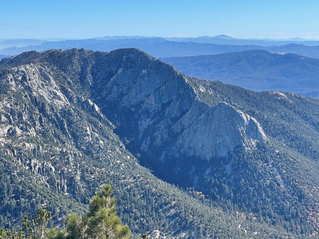
The wilderness high point was located about 0.2 mile/400 feet off the trail. Unfortunately, the south facing slope was covered in extremely dense brush. It took about 30 minutes to fight my way to the top, and I was left with numerous cuts and scratches on my arms. I eventually reached the high point at 1:30pm at 12.7 miles. I found a cairn and also a small register located on top of a large boulder. The register was placed in 2018 by Bob Burd and was most recently signed in 2019. Not surprisingly, I was only the 4th signature. I took in the view of Tahquitz Peak before descending. The huge rock face beneath the peak is a famous rock climbing destination.
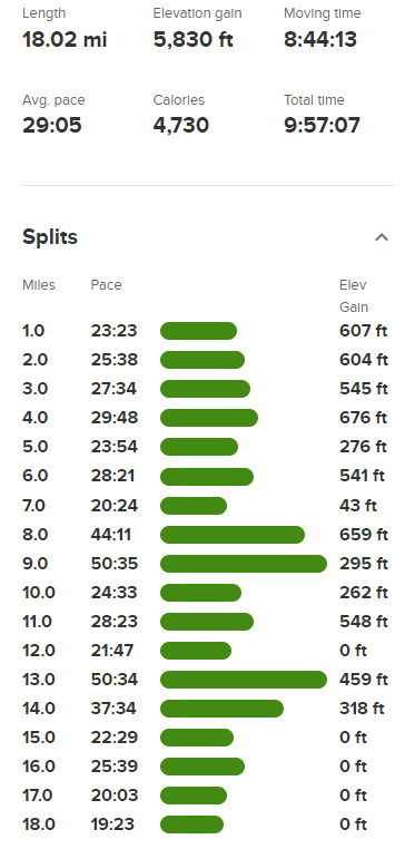
I made it back to the trail at 13.1 miles and hiked west back towards the Junction. Just before reaching the junction, I left the trail and made the short 100 foot climb south to Cienaga Peak. I reached Cienaga Peak at 13.6 miles and signed the register. The register was placed in 2015 and most recently signed on August 28. I then descended southeast to the trail, hiked back to Saddle Junction, descended the Devils Slide Trail, and reached the car at 4:10pm. Stats for this hike were 18.02 miles, 5830 feet elevation gain, and 9:57:07 total time.