Day 1
This weekend would take me to the southeastern corner of California to climb some random peaks on the Sierra Club Desert Peaks Section (DPS) list. The DPS peaks in this part of the state generally are the highpoints of small mountain ranges, many with over 2000 feet of prominence. This part of the desert is extremely arid, and the scenery can be kind of bland compared to other desert areas. Interstate 10 cuts through this remote corner of California on its way from Los Angeles to Phoenix. The small town of Blythe is a nice stop along the freeway, sitting right on the California/Arizona border. I wrapped up work a little early on Friday afternoon and hit the road at 4:15pm. I primarily took state and county highways through Julian and Borrego Springs before stopping at the small desert town of Mecca where I got a sandwich at Subway. From there it was a short drive to the public land just outside the south entrance of Joshua tree National Park. This area is about a mile or 2 north of I-10 and is a popular area to camp for those who can’t get reservations to one of the NPS campgrounds inside the park. On this Friday night it was extremely busy, but I was able to find a nice place to park my car and sleep for the night.
Day 2
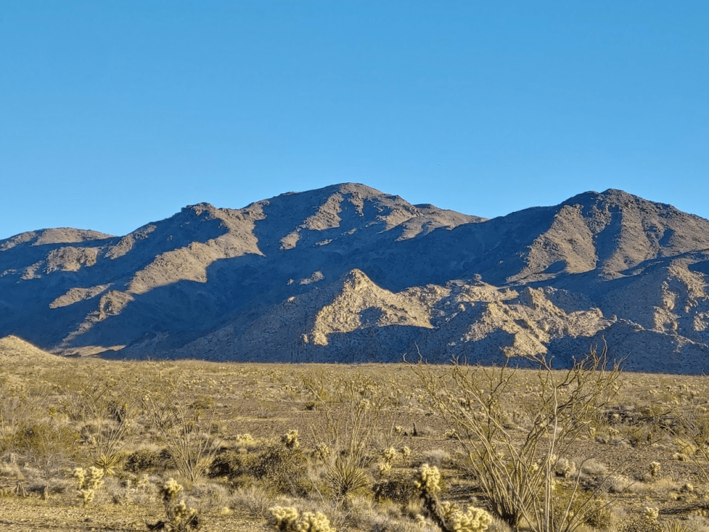
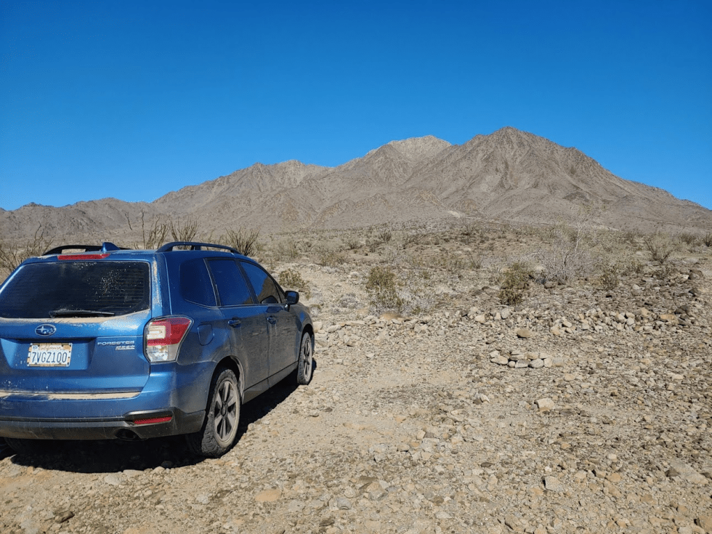
I woke up a little after 5am and quickly got ready and started driving. I had a long day planned. I would be attempting to climb 2 DPS peaks today which is something I had never done before. Many other of the Sierra Club lists are easy to combine multiple peaks in one day, but the DPS peaks are often pretty lengthy climbs and they are generally far apart from each other. The two peaks I had planned for today were Black Butte and Bunch Benchmark. Black Butte (4504 feet) is the highpoint of the Chuckwalla Mountains, and Bunch Benchmark (3446 feet) is the highpoint of the Little Chuckwalla Mountains. The two peaks are often combined due to their proximity to each other, although they each require long, tedious drives on dirt roads to reach. I exited I-10 at the Red Cloud Road off ramp and proceeded down a few dirt roads before turning onto Gas Line Road. I went nearly 8 miles on Gas Line Road before reaching the Bradshaw Trail. I then drove about 7 miles on the Bradshaw Trail before turning left onto a faint road leading towards Black Butte. This road was very rocky and high clearance is definitely required. I drove for about 2 miles until the road really deteriorated. I could have driven a bit further, but I decided to stop here and begin hiking.

I started hiking at 7:40am. This is a much later start than I’m used to due to the lengthy drive to get here. Black Butte stood impressively in front of me.
The sun was already up. It was pretty warm already at this early hour as I needed only my light jacket.
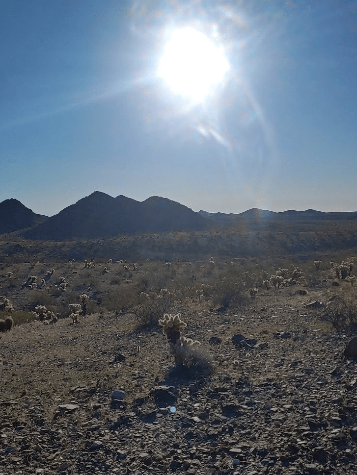
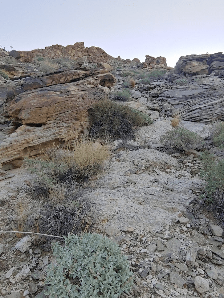
I walked down the remainder of the road for about 2 miles to the base of the mountains. The location felt really remote.

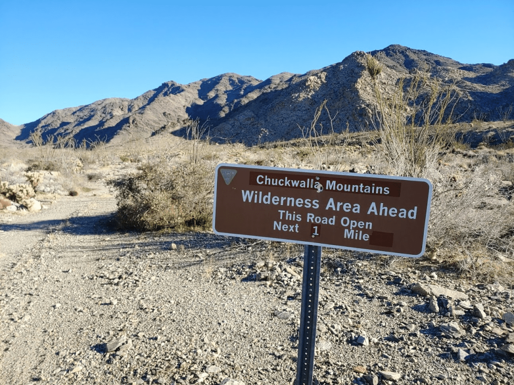
I neared the wilderness boundary.
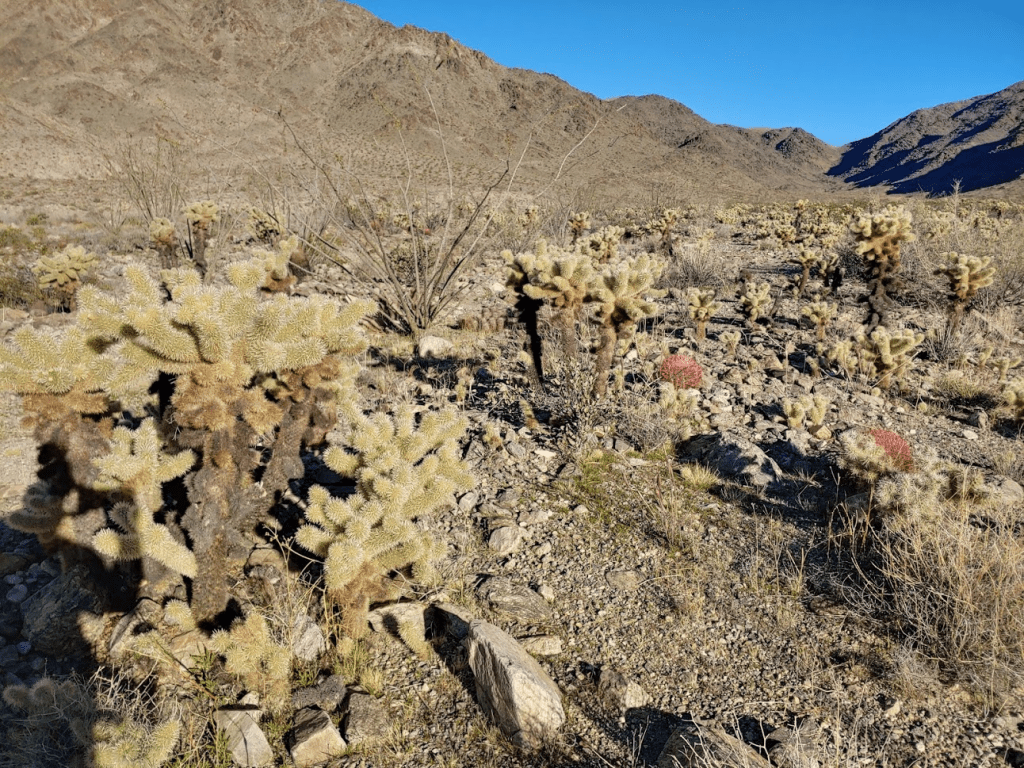
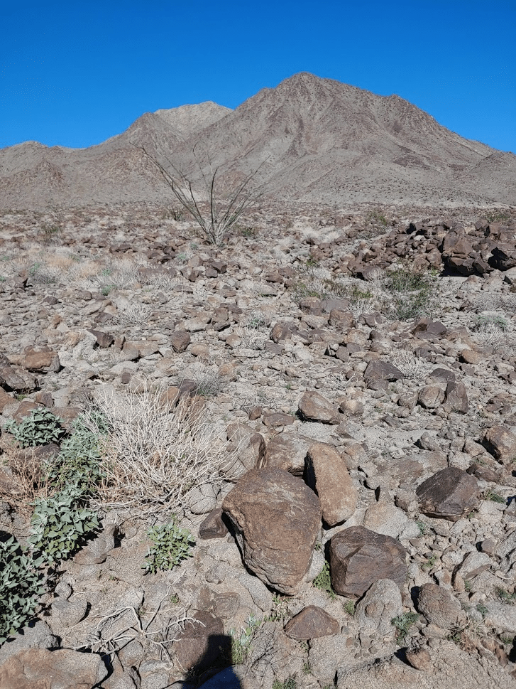
There were tons of teddy bear cholla near the base of the mountains.
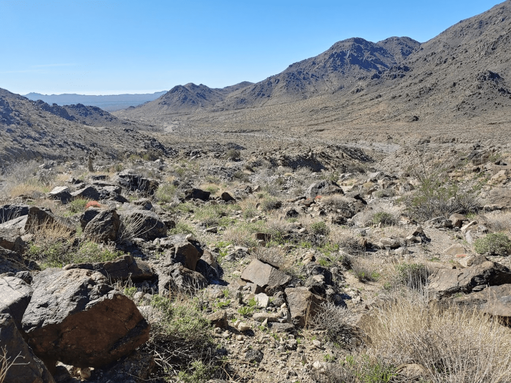
I started hiking up a wide, rocky wash.

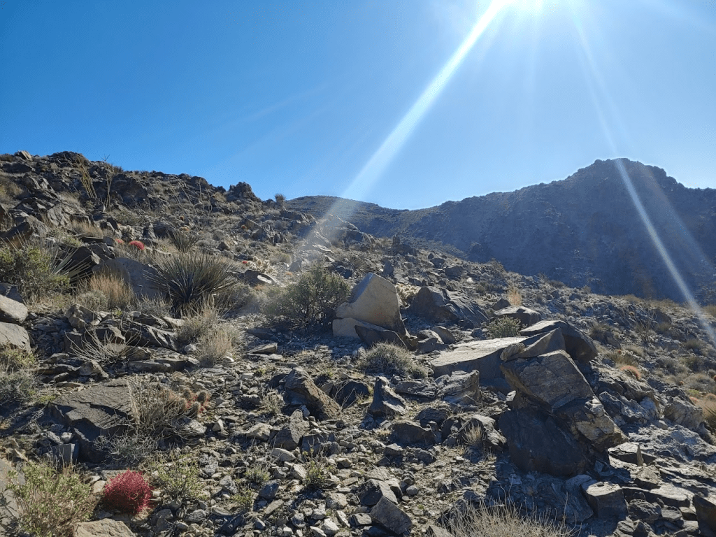
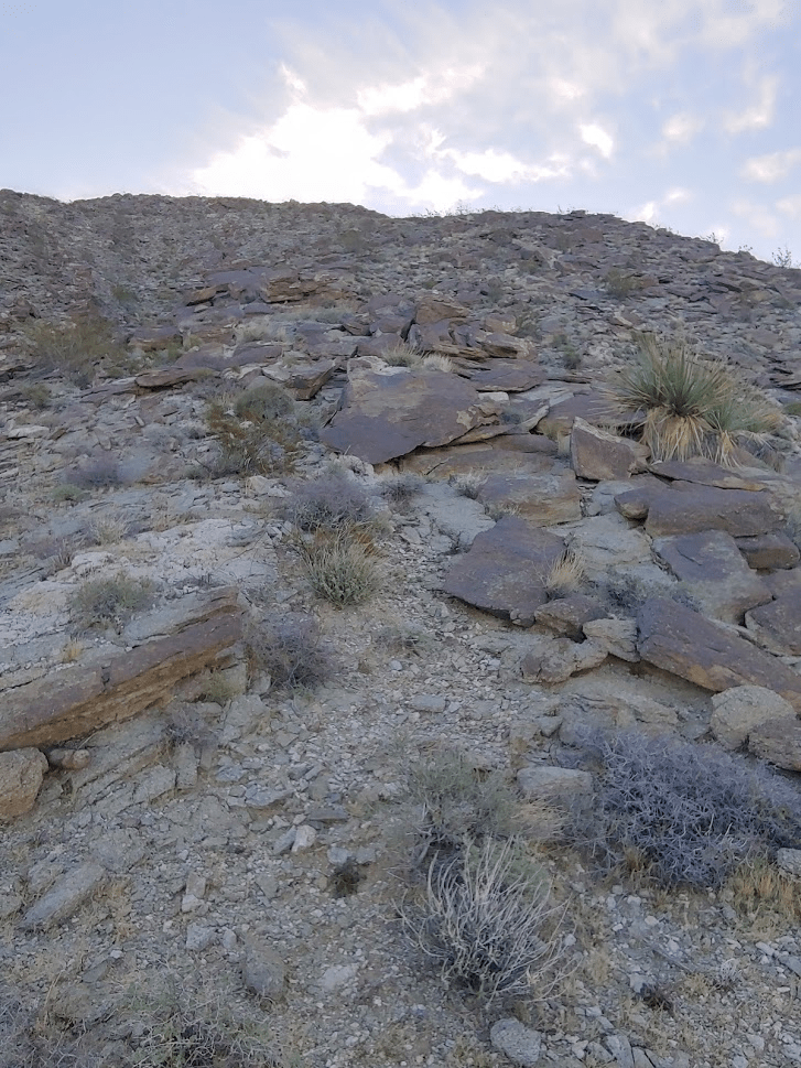
I reached the top of the wash at 8:55am. I had been hiking for 3 miles so far. I was at around 3600 feet so still had nearly 1000 feet to climb. The picture below shows the route I had ascended so far.

I started climbing up the ridge to the summit.
The footing was pretty solid, so I made good time.

I reached the summit at 9:30am. I had been hiking for 3.86 miles.
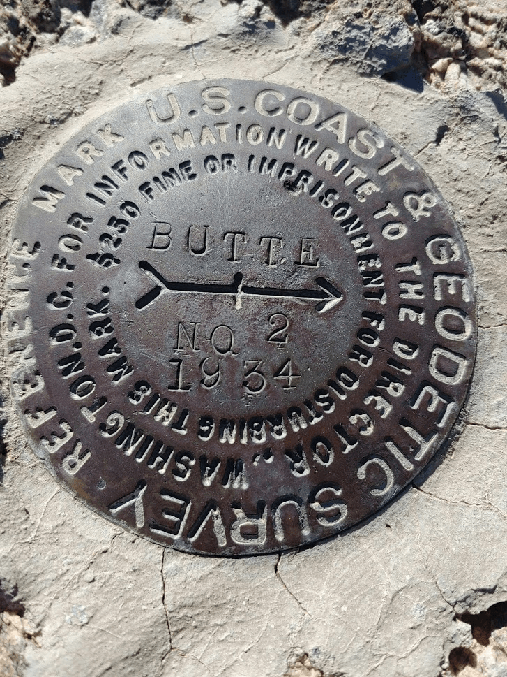
I found reference markers no. 2 and no. 4

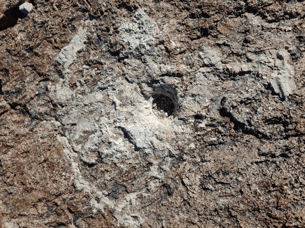
The station benchmark appears to have been removed.
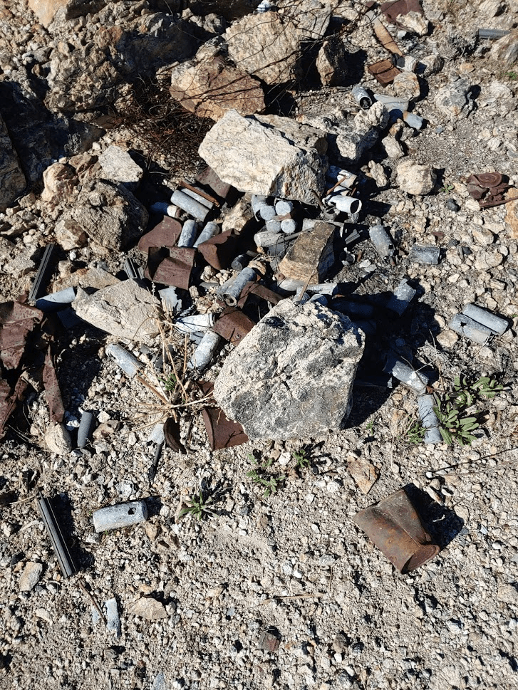
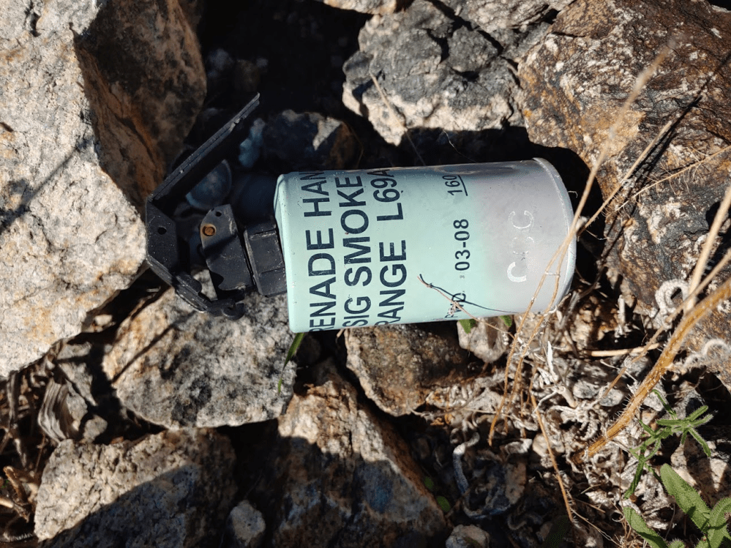
There was lots of old military junk on the summit. This is possibly related to the nearby Chocolate Mountains Aerial Gunnery Range. I heard a few loud booms during my morning hike.
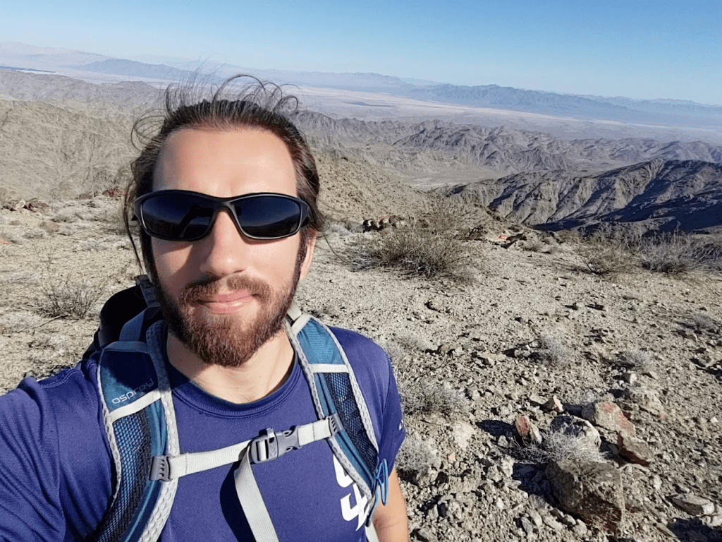
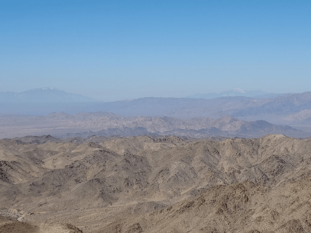
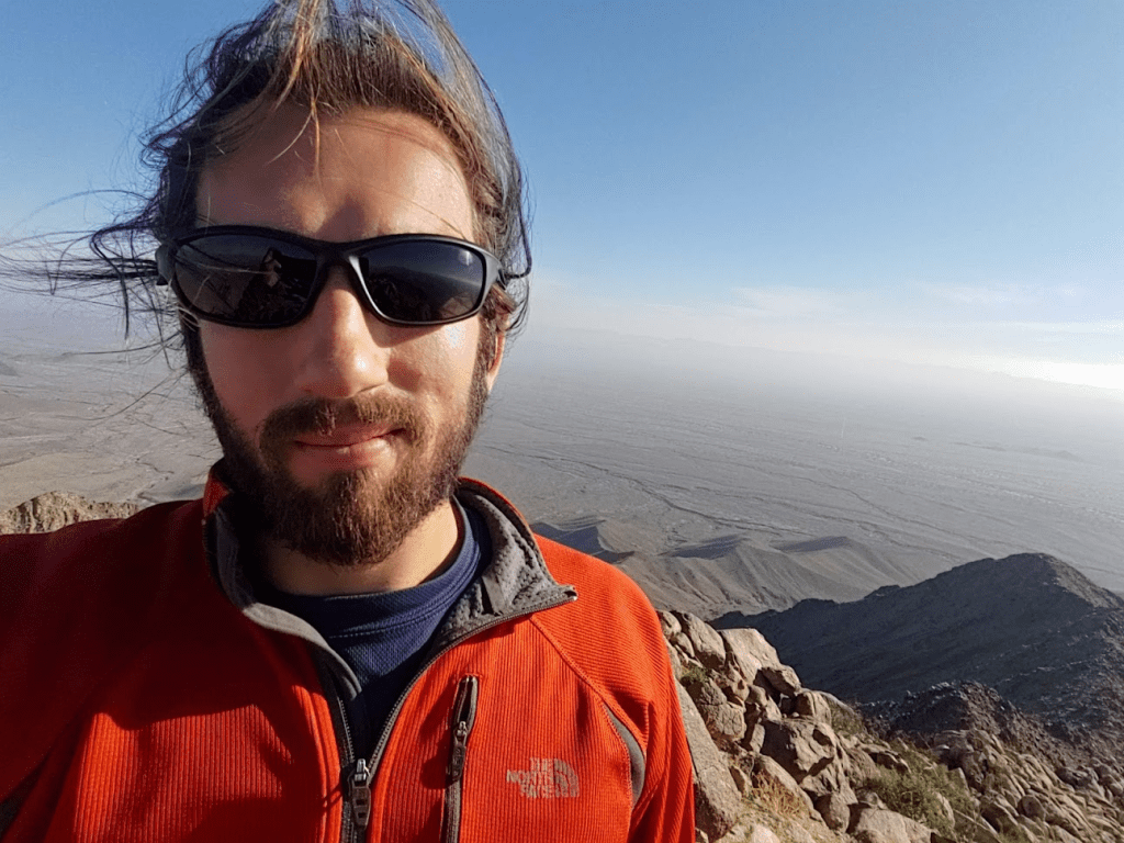
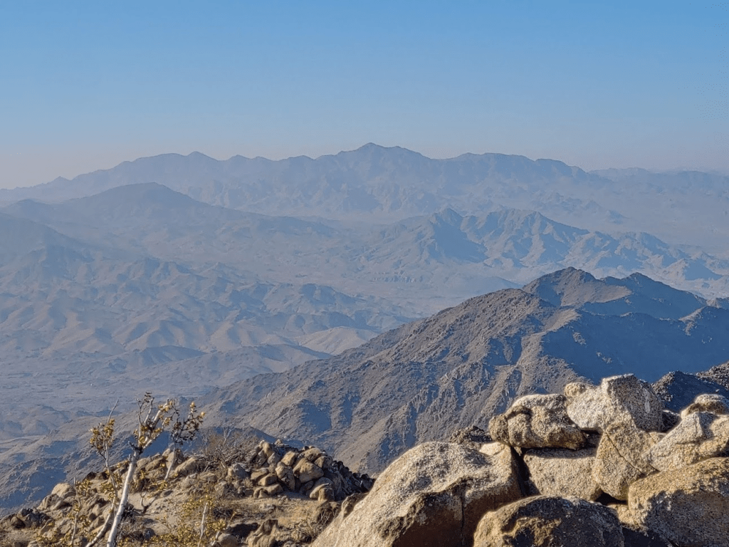
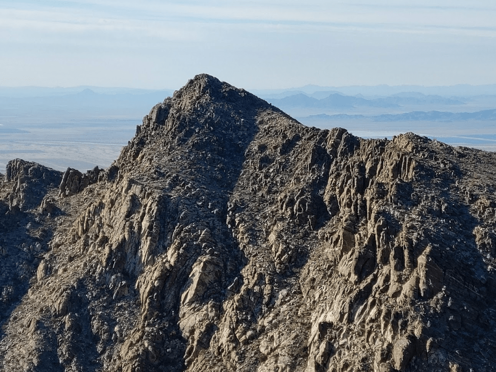
The views were nice despite some haze.

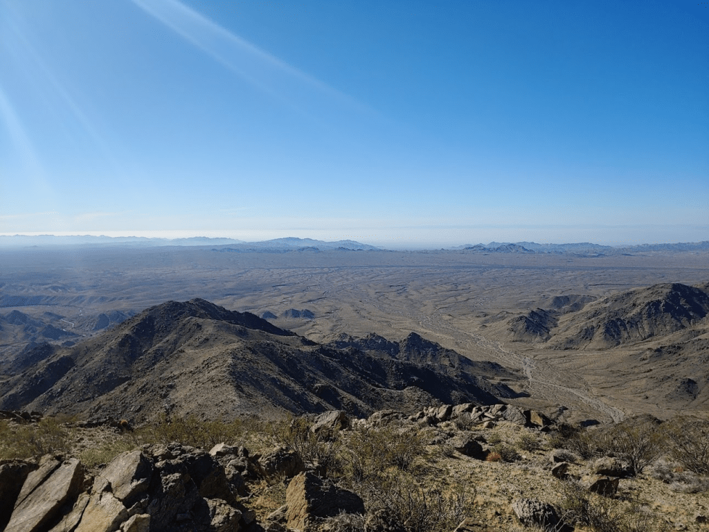
Toro Peak, which I had climbed 7 days prior, is the tall peak in the background of the right side of the below picture.
San Jacinto and San Gorgonio were barely visible through the haze.
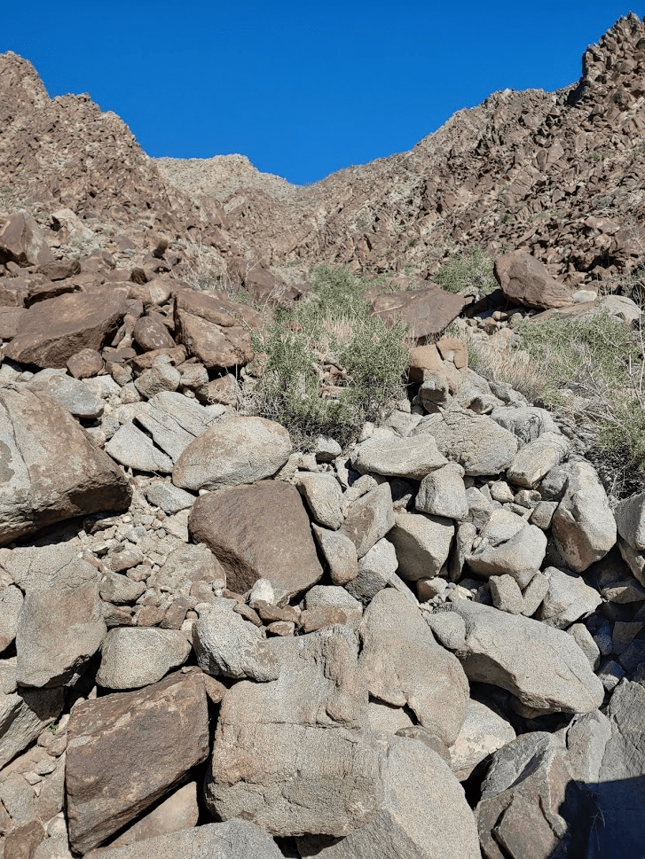
After resting for 30 minutes on the summit I began the descent. I took a different route down. My descent route was the standard DPS route and is a bit more direct than the route I came up. It pretty much follows a steep, narrow canyon all the way down.
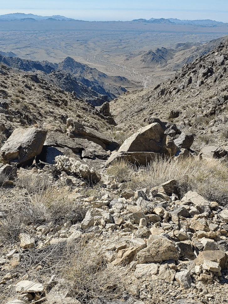
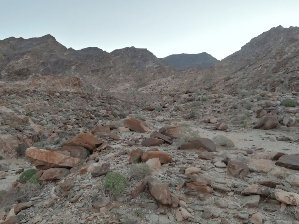
The canyon was very rocky.

It took about an hour to reach the mouth of the canyon.
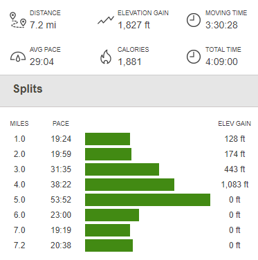
I found the road again and walked back to my car. I reached the car again at 11:48am. Totals for the hike were 7.2 miles, 1827 feet elevation gain, and 4:09:00 total time.

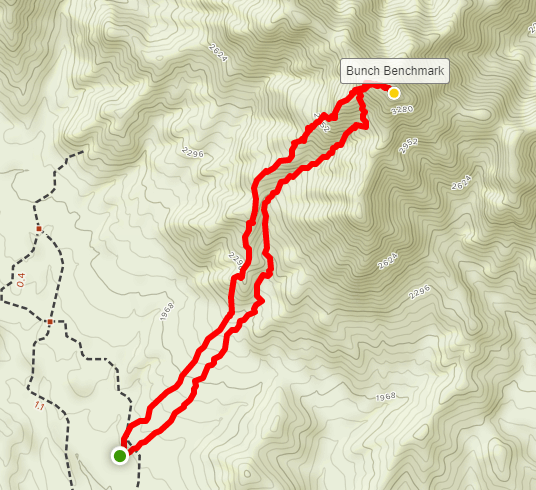
Next up was Bunch Benchmark. I drove back out to the Bradshaw Trail and turned left. I proceeded east on the Bradshaw Trail for about 15 miles to Graham Pass Road. The Bradshaw Trail is well graded, and I could go 20-25 mph for most of it. Immediately after turning onto Graham Pass Road, I turned left onto a faint dirt track and drove about 1.5 miles to the base of the mountain. This road was also in good shape.
I started hiking at 1:28pm from the trailhead around 1800 feet.
I entered a narrow canyon.

The canyon was very rocky and steep. It was slow going.
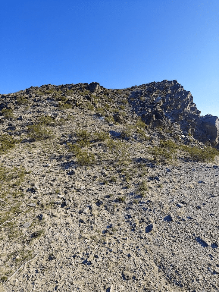
The route becomes very steep near the top.

Finally, I topped out on a ridge just west of the summit. I proceeded carefully along the ridge and reached the summit at 2:35pm. I was only 1.52 miles from the car. Despite the short hike, it was pretty difficult due to how steep it was.
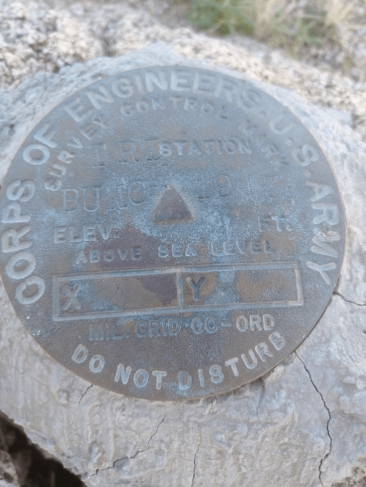
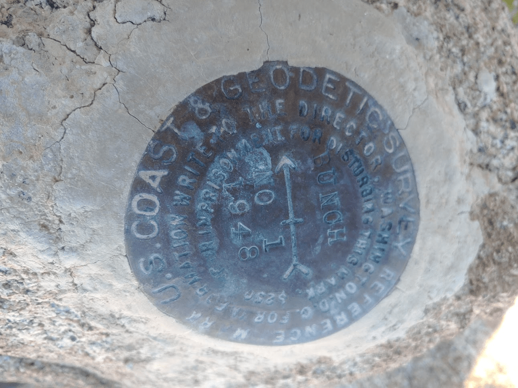
I located the benchmark and 2 reference markers.

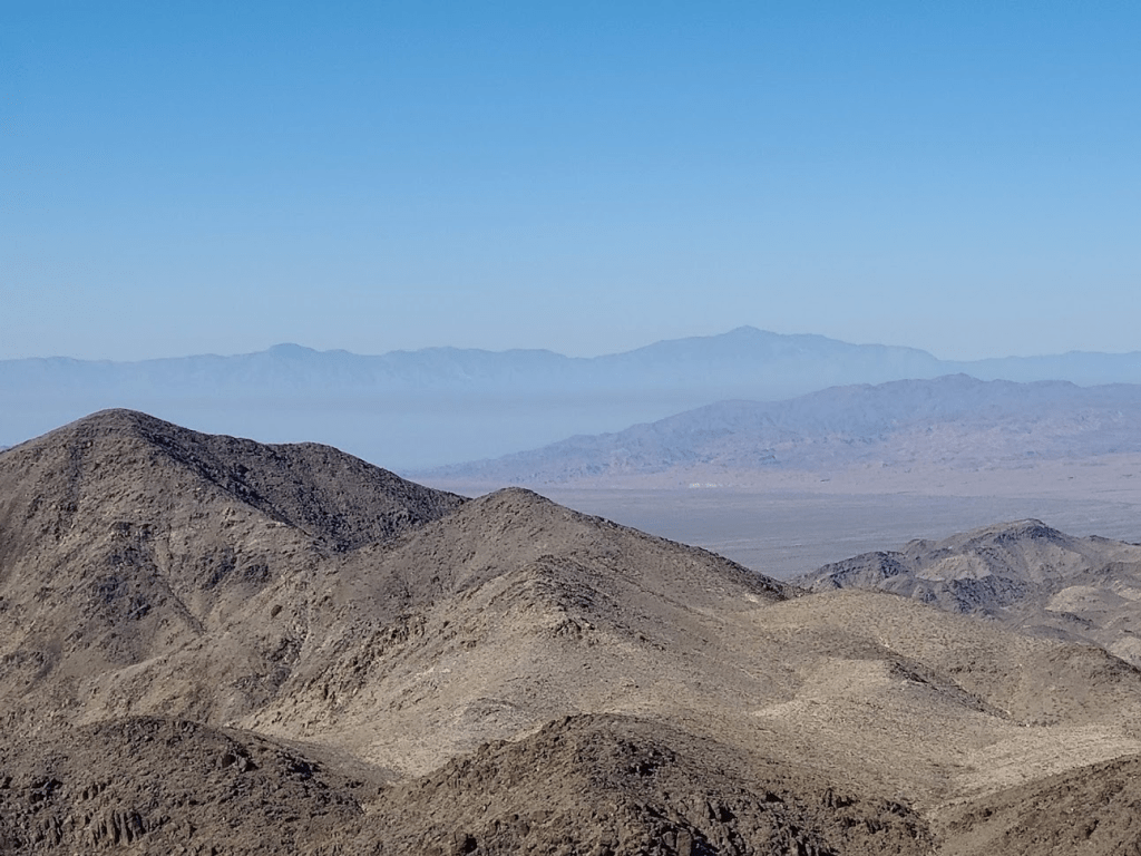
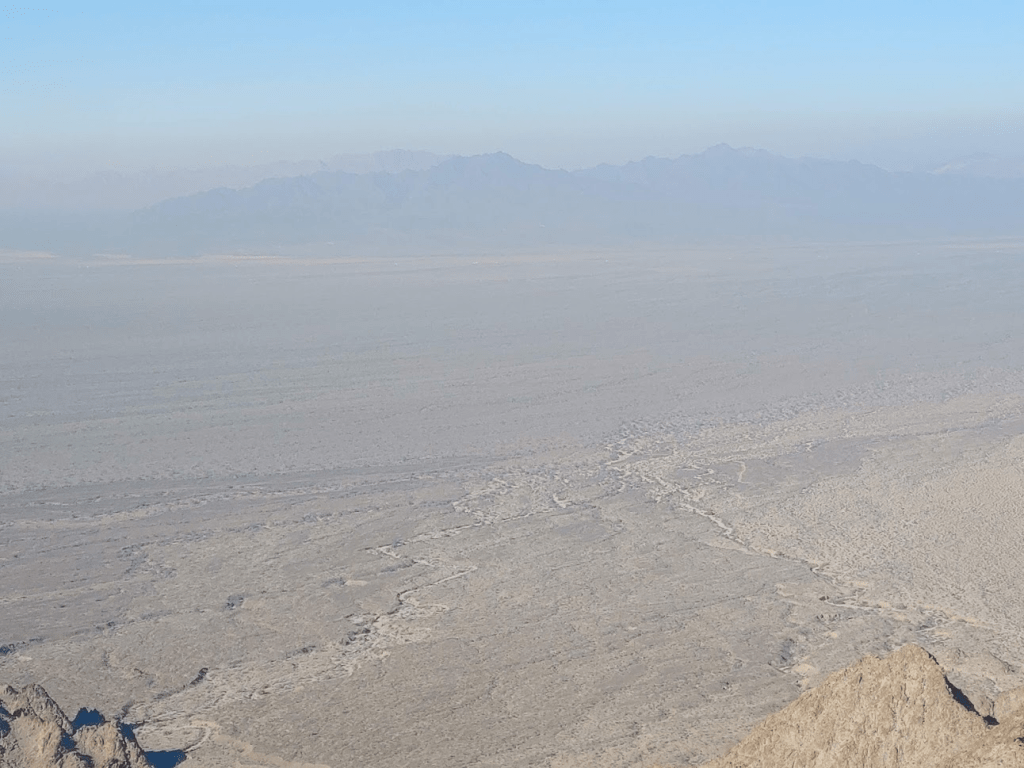
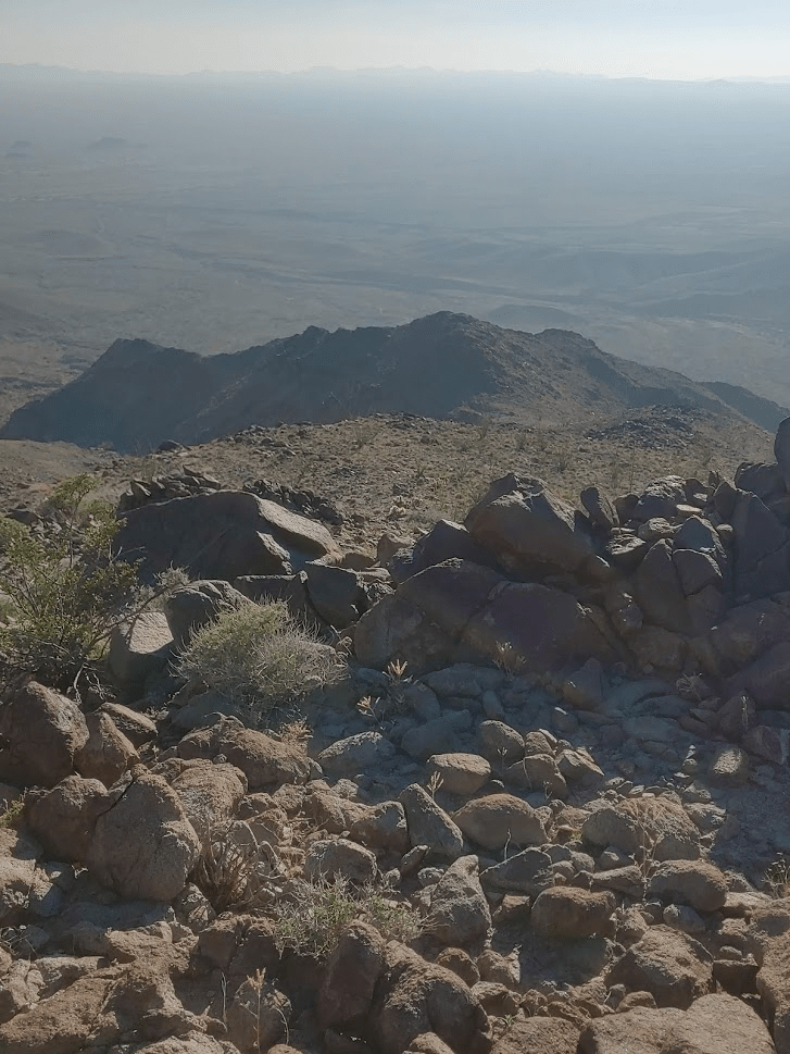
It had gotten considerably hazier since the morning which obscured the views quite a bit.
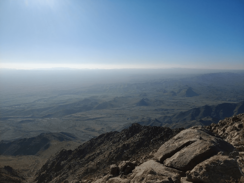
I could see Black Butte a short distance away.
I rested for a little over 30 minutes and began the descent. Instead of taking the canyon back down, I decided to go down the ridge just west of the canyon.

There were a few tricky spots higher up on the ridge, but it eventually widens and becomes a pretty easy descent.
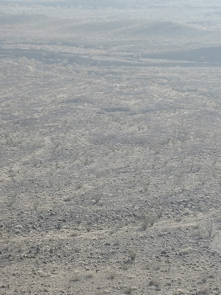
I could see my car in the distance.
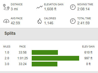
I finally reached the car again at 4:10pm. This hike was 3 miles, 1608 feet elevation gain, and 2:41:59 total time.
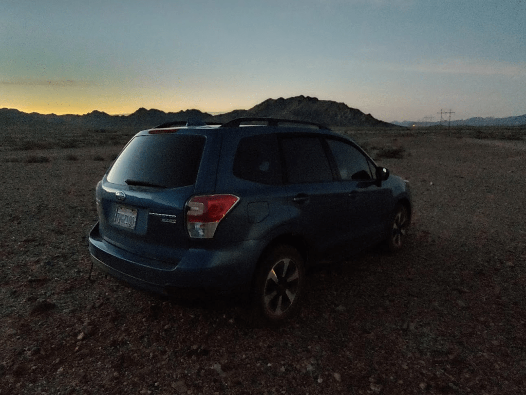
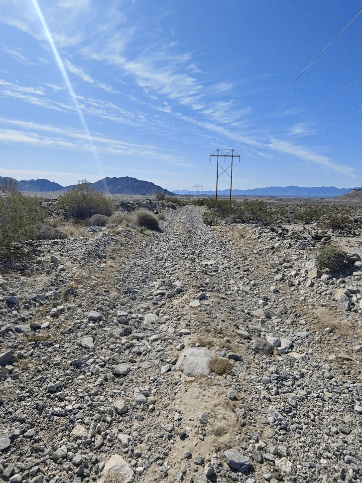
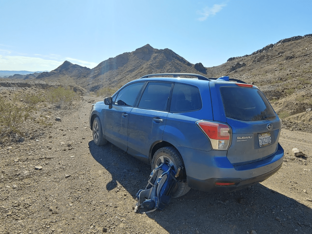
I was pretty exhausted, but I still had a long drive to get back to the freeway. I drove back to Graham Pass Road and turned north to head towards I-10. The first couple miles were pretty rough. The road goes in and out of many washes, so I was glad to have high clearance, AWD, and brand new all-terrain tires. After the first couple miles, Graham Pass turns into a really nice, well graded road that I was able to drive 30 mph on. After about 15 miles from where I had been parked, I finally reached pavement again. I headed east on the freeway to the town of Blythe where I ate at Quiznos and Jack in the Box. There really aren’t many dining options in Blythe. I also filled up on gas and got more ice for the cooler. I then drove about 30 minutes north on Midland Road and then about 4 miles on an okay dirt road to the trailhead for Big Maria Mountains High Point, which would be my objective for the next morning. I was asleep by 8:30.
Day 3
I woke up at 5:15am after a very restful night of sleep despite a full moon. My camping spot just off the power line road worked great.
I started hiking towards Big Maria at 6am with just enough daylight.
I walked about a half mile further up the road and then crossed a half mile of open desert to the mouth of a large canyon.
I proceeded up the canyon for about a mile.

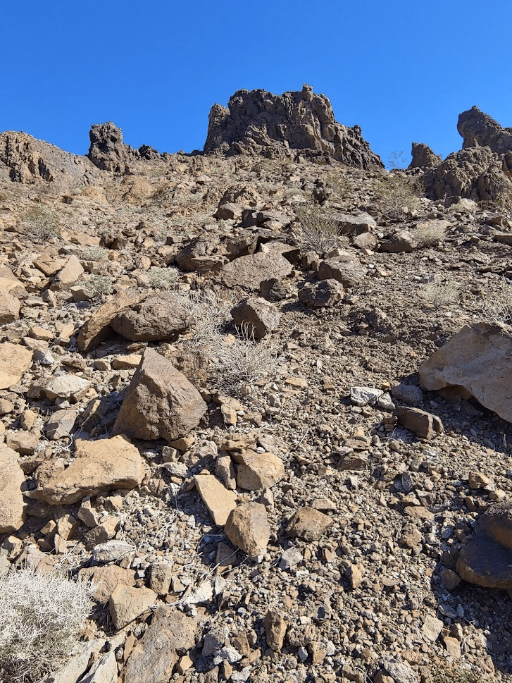
At 2 miles I climbed out of the canyon.
I climbed a steep ridge to a saddle. The footing was very solid here.
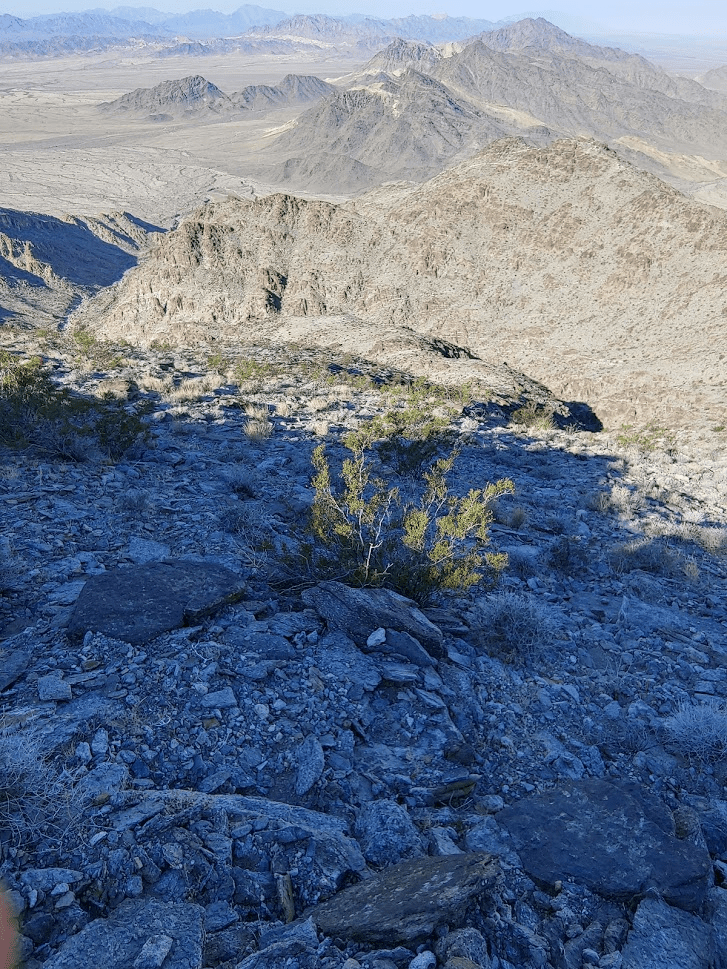
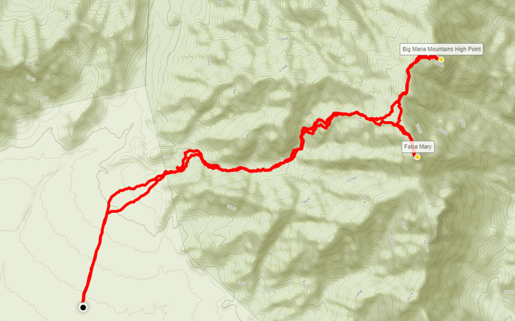
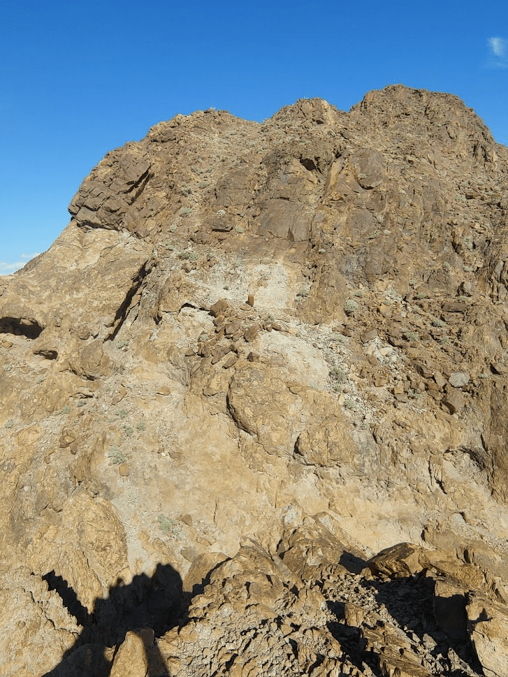
I was at about 3000 feet on the saddle. Big Maria actually has 2 summits. The north summit is the true summit at 3381 feet. The south summit, often referred to as False Maria, is only 1 foot lower. I started towards False Maria first. The 300 foot climb was pretty easy, and I reached the summit at 8am. It was 3 miles of hiking so far.

There was an old beaten up register which I signed. I noticed that someone has signed it just the day before. I rested for just 5 minutes and descended back to the saddle. The climb to the true summit was similar to False Maria.
I reached the summit at 8:36am. I had been hiking for 3.81 miles up to this point.

Oddly, there was no register. There are also no USGS markers on this peak. It was colder than yesterday, and I bundled up against a strong wind. The views were good despite some haze again.


I was very close to the Arizona border, so I had a good view of the Colorado River.

False Maria less than a mile away:
I was very impressed with myself. 3 DPS peaks in a day and a half! I had now completed 24/95 peaks on the list. I enjoyed a nice 35 minute break and began my descent. I had to go slow down the steep portion below the saddle.
At the 5 mile mark I was back in the canyon again.
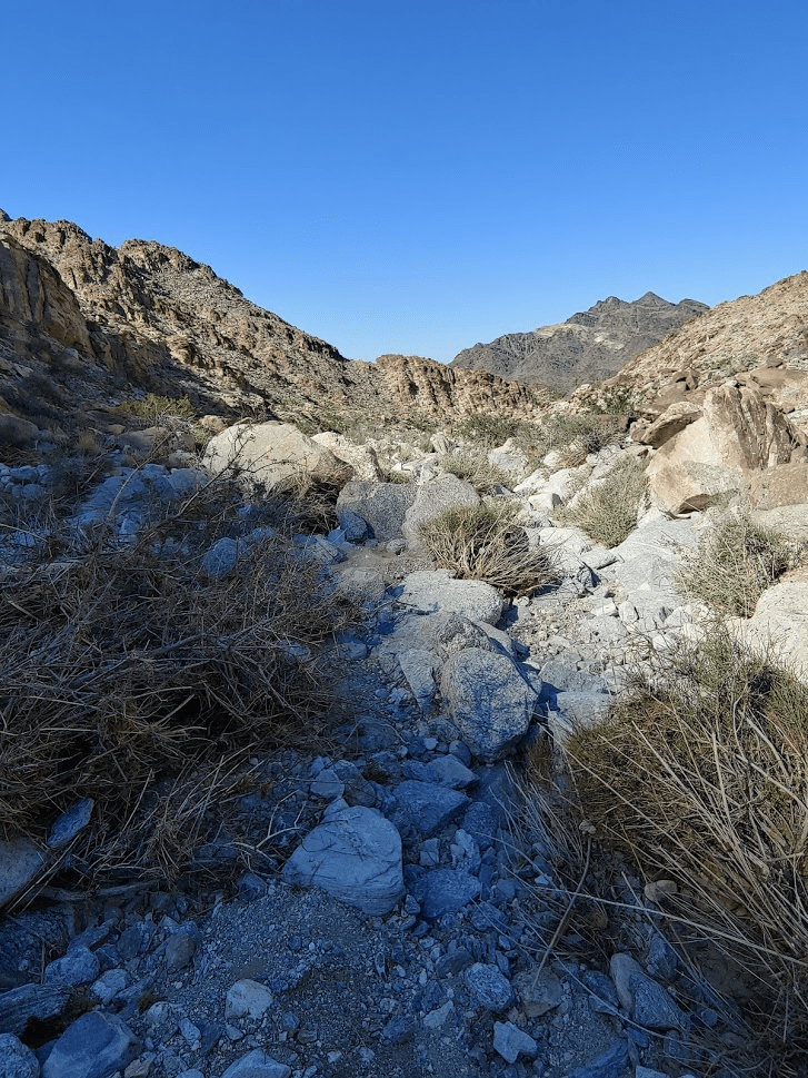
I hiked back out of the canyon and crossed the desert back to the road.
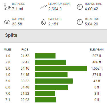
It was just another half mile and then I reached my car once more at 11:05am. Totals for this hike were 7.1 miles, 2664 feet elevation gain, and 5:04:20 total time.
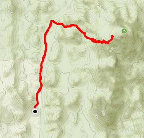
I still had a lot time left in the day, and there are 2 more DPS peaks in the area, Granite Mountains High Point and Palen Mountains High Point. However, both would require extremely long, tedious drives on pretty rough 4WD roads. I decided I wouldn’t have enough time for either hike once I finally reached the trailhead, so I looked for something easier to do. I settled on Palo Verde Peak, a peak about 30 miles south of Blythe in Imperial County. It’s a short hike, but it’s on Andy Zdon’s desert peaks list and it’s on the way home so I thought it would be a good one. It was a fairly long drive. I drove about 30 miles south of Blythe on State Highway 78. I turned right on well graded Milpitas Wash Road and then drove north about 3 miles on another dirt road. I parked a little early to add some distance to the hike.
I was impressed with the scenery. The rocks were a much redder color than the other mountains in the area.
After walking about a mile up the road, the route begins up a narrow wash. I then climbed out of the wash up a very steep talus slope. The rocks were very loose, so it made it extremely tough to make progress. I eventually gained the ridge southwest of the summit. I proceeded a short distance up the ridge until I came to spot where I decided it would be unsafe to proceed. The ridge was very exposed, and I didn’t feel safe trying to climb the rest of the way to the top, especially alone.
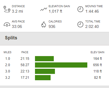
It was a tough decision, but the mountain will always be there another day. I was probably only 100 feet below the summit. I returned the way I came, going very slowly down the steep talus slope. I reached my car once more at 3pm. I totaled 3.2 miles, 1017 feet elevation gain, and 2:02:40 total time on this hike.
I was bummed about not summitting Palo Verde Peak, but I was still very happy with the other 3 hikes this weekend. I took Highway 78 south towards El Centro and the Interstate 8 all the way home to San Diego.
