All week I had originally been planning to climb Monument Hill in the southern end of the Santa Ana Mountains in Riverside County. Monument Hill is a pretty minor peak but it is on the Sierra Club Lower Peaks list. The night before, I found out that the area was closed due to damage from the recent Tenaja Fire. I had to quickly make a new plan, and I decided on climbing Red Hill in Anza Borrego Desert State Park. After putting so many miles on my legs the previous weekend, I was looking for an easier hike to do. Red Hill is a pretty simple cross country affair in the southern portion of Anza Borrego, requiring just over 3 miles of hiking round trip. Red Hill is a peak on the San Diego 100 Peaks List, and probably the easiest summit in Anza Borrego on the list. I started driving around 5:30am and reached the small turnout off Highway S-2 just after 7.

It was another beautiful sunny day in the desert. It was a bit chilly as I got started but the temperature would soon warm up as the sun began to rise.

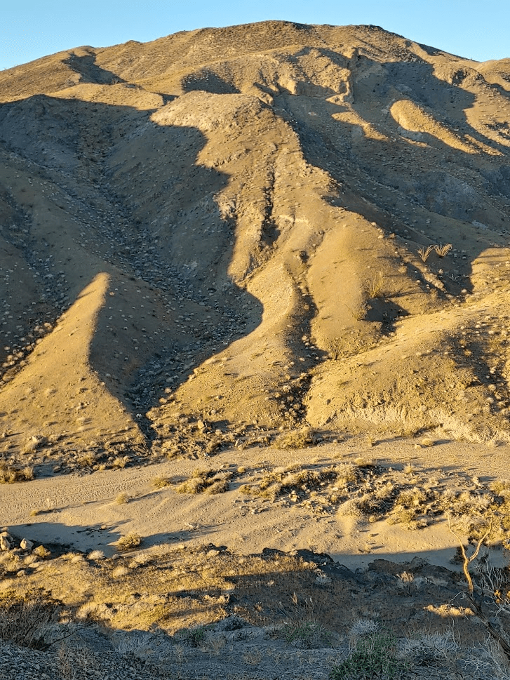
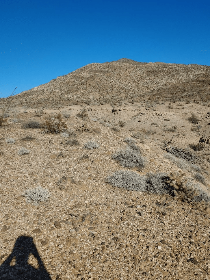
Red Hill was visible from the start.

Since this was such a short hike, I didn’t spend too much time researching the route beforehand. I simply started climbing in a direct line towards the summit, not realizing that the initial foothills are separated from the main peak by a deep wash.
I had to downclimb the foothills to the left to drop down into the wash. I then started climbing again.
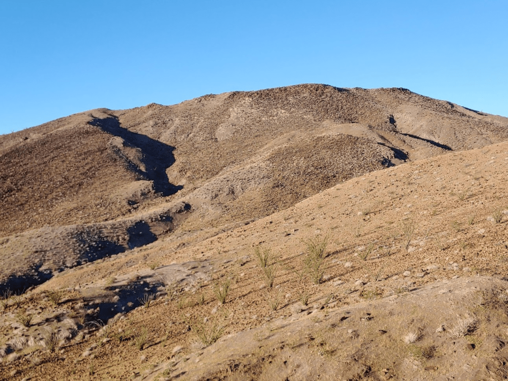
I had to descend a little more after topping out on a small ridge. The final climb was short but steep.
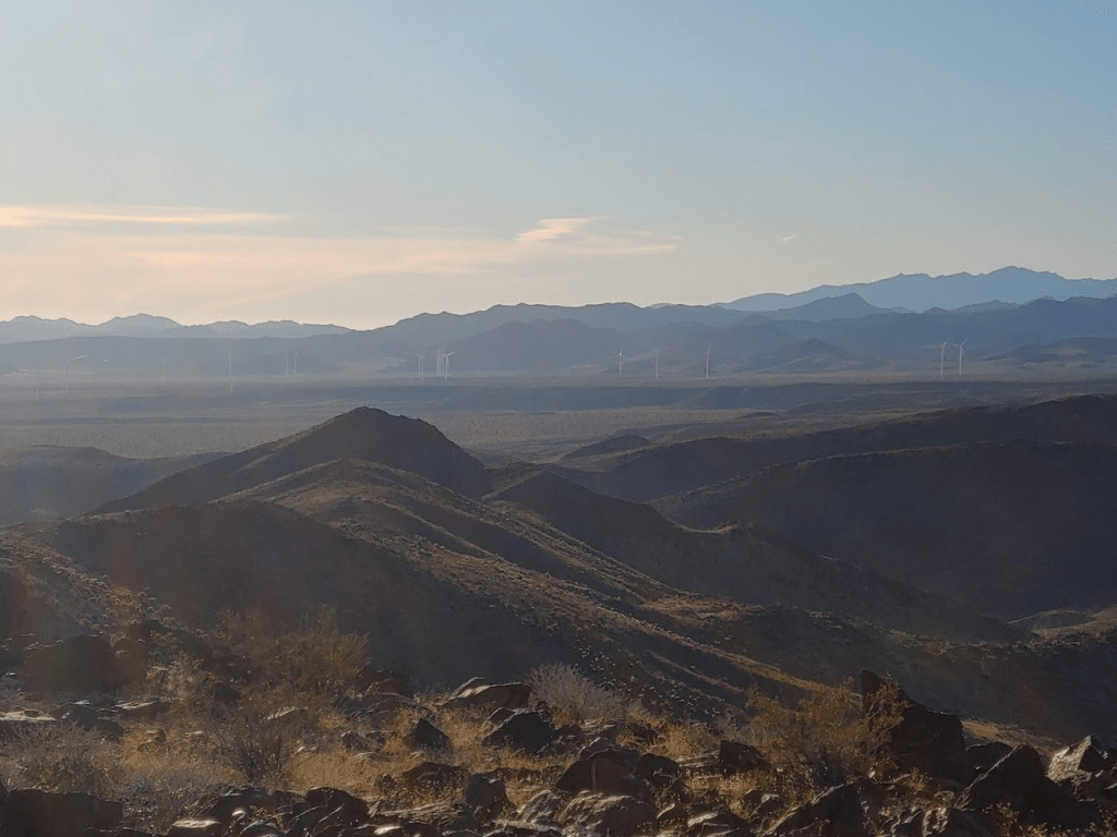
The summit area was wide and flat. The rocks on top had a reddish color to them, hence the name Red Hill. It would have been difficult to determine the highpoint without GPS help.
I reached the top after less than an hour of hiking.

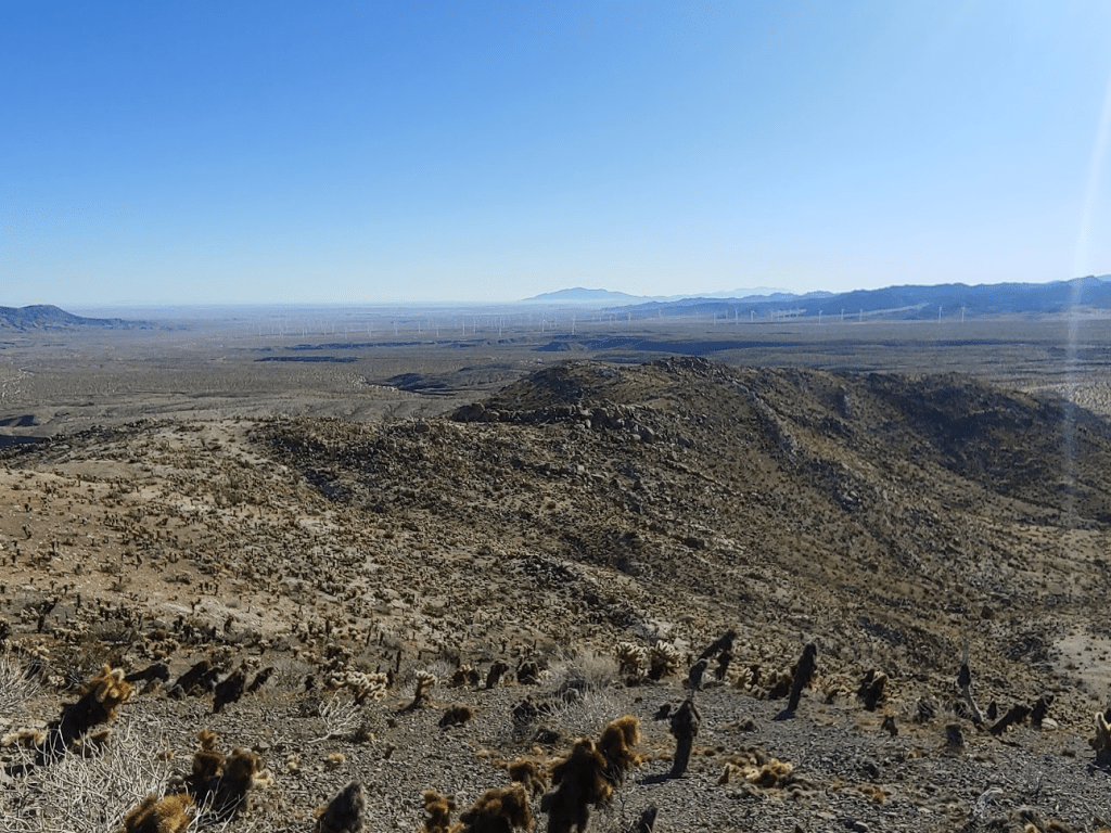
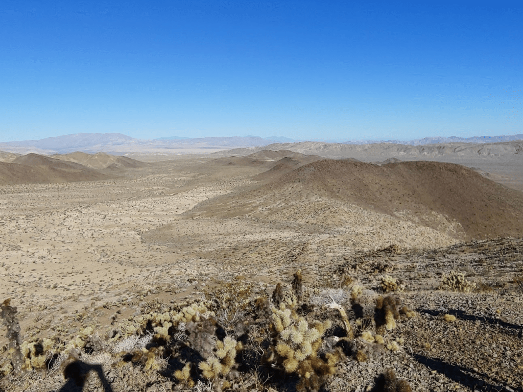
I signed the register and spent some time soaking up the views.


I decided to take a different route on the descent. I started going north off the summit and climbed down the steep slopes back into the wash I had gone around earlier.
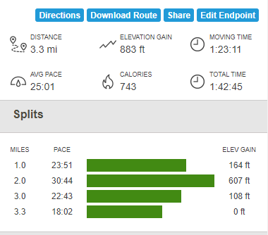
I climbed up the hills on the other side and followed the ridge around back to where my car was parked. The hike was 3.3 miles, 883 feet elevation gain, and 1:42:45 total time.

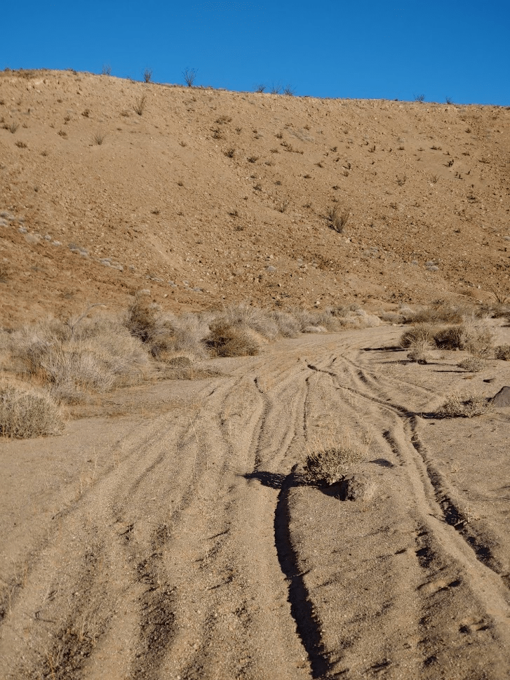
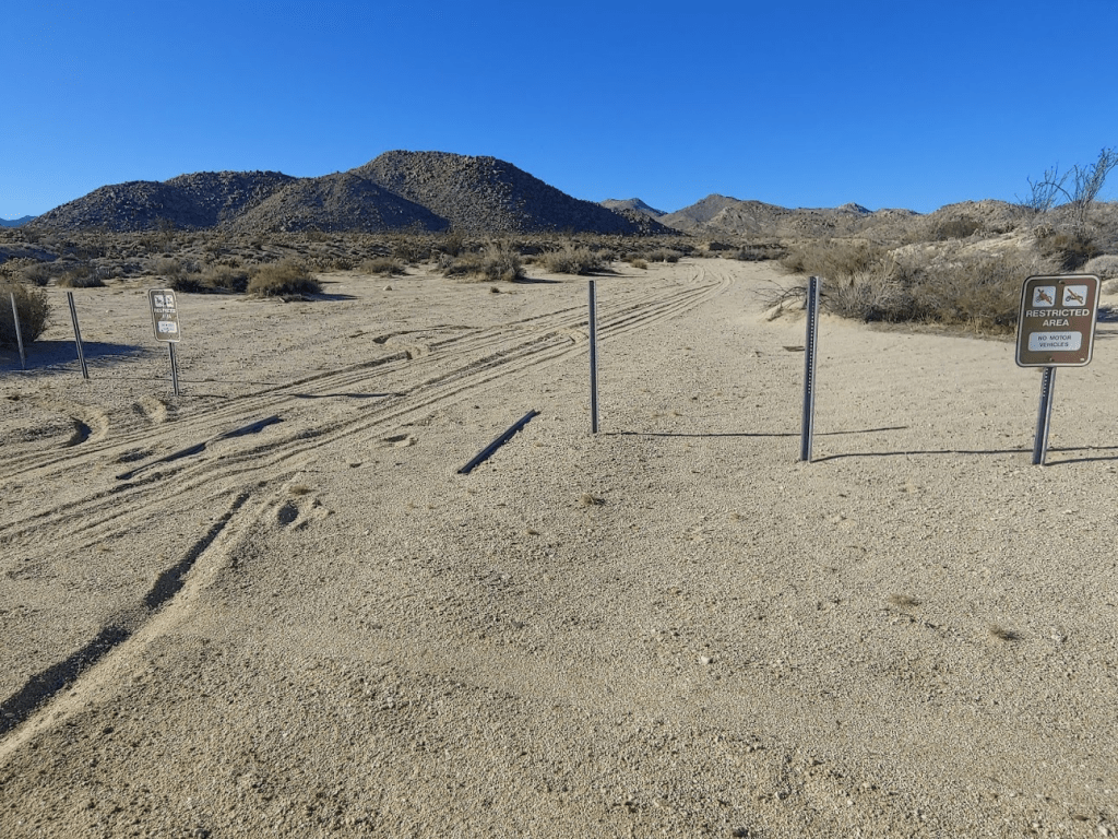
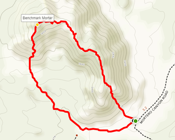
It was still pretty early in the day, so I decided to do a couple more short hikes to some benchmarks in the area. I drove a short distance south on Highway S-2 and turned onto unpaved Mortero Canyon Road. I had been on this road previously in my Honda Accord on 2 separate occasions, so I knew it would be drivable for the first few miles. I had been in the area the previous spring to climb Jacumba Mountain, as well as a loop tagging 4 different San Diego peaks (Piedras Grandes, Indian Hill, Puff Benchmark, and Moan Benchmark). After a few miles I parked and began hiking to Mortero Benchmark. This benchmark lies less than a mile from the road on top of a small hill. I started walking down a sandy wash which was supposed to be blocked to vehicle traffic, but 2 of the barriers had been forcibly removed by someone. There were also bullet holes in the Restricted Area signs.
After walking a short ways, I began up the hill.
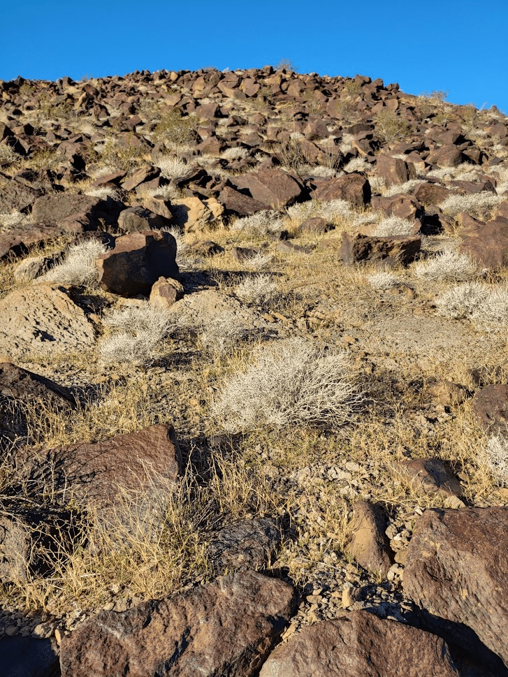
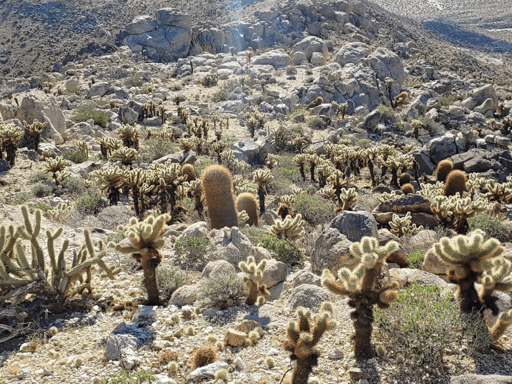
I quickly found out that the hill was absolutely covered in teddy bear cholla. I had to move with extreme caution to avoid getting poked.


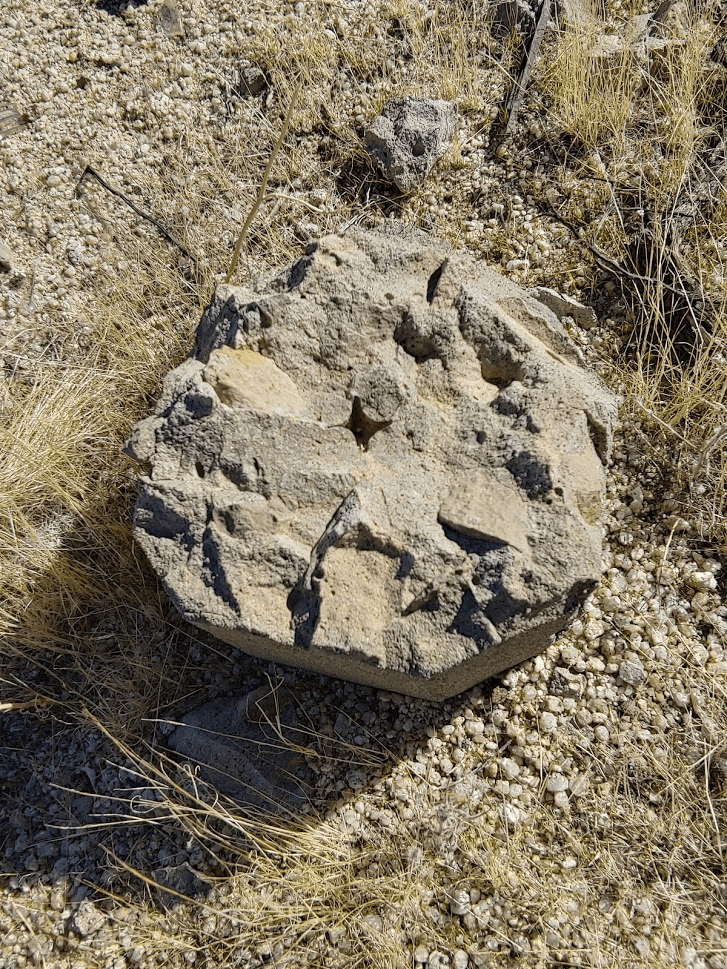
I somehow managed to reach the top without incident. The benchmark was easy to find.

There was also a register and some old survey junk on top.

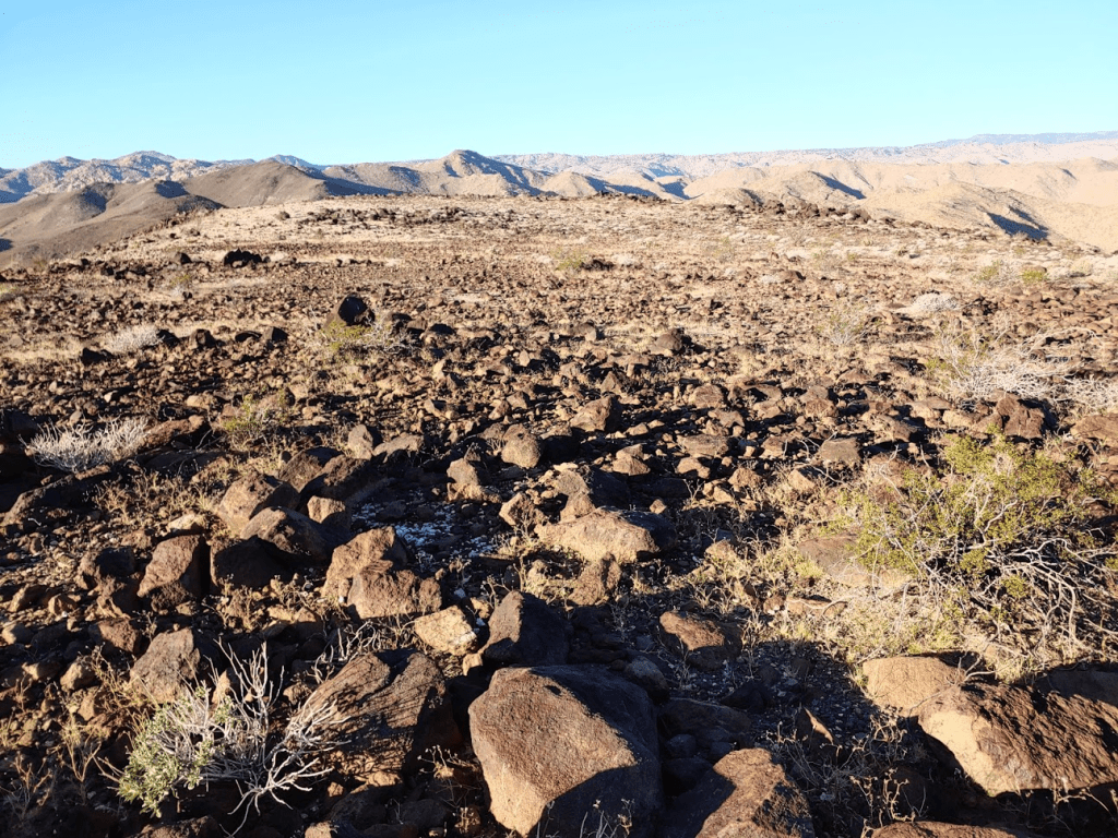
It was getting warmer, but the wind was also picking up. The views were pretty similar to Red Hill.
I took a different route off the hill, hoping to avoid any more dense fields of cholla. I initially stayed high on the ridge to the southeast. There were a few more areas of cholla but not as bad as the ascent route.
The final descent was a steep drop back down to the road. I could see my car from above.

I reached the car again after 1.6 miles, 456 feet elevation gain, and 56:24 total time.

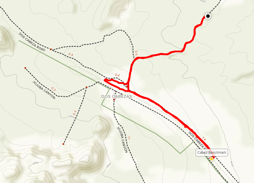
There was another easy to reach benchmark in the area, so I drove a bit further down Mortero Canyon Road and parked once more. The road got really rough at this point. I probably could have continued but I wanted to hike a few extra miles.
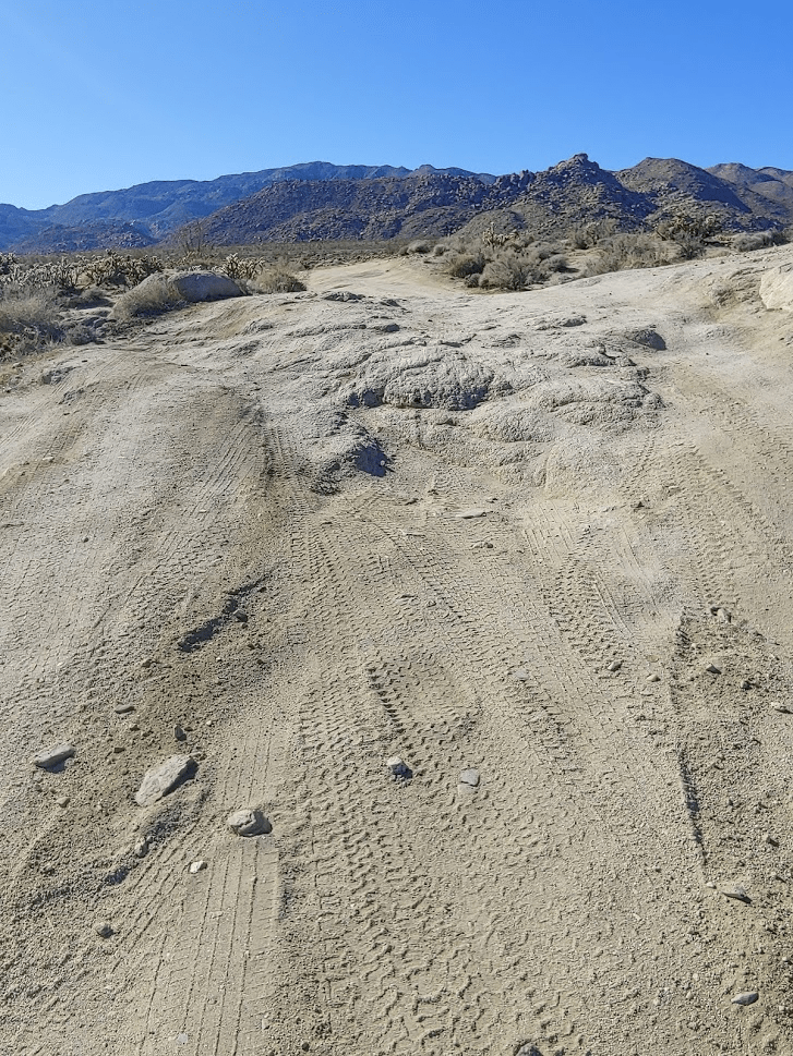
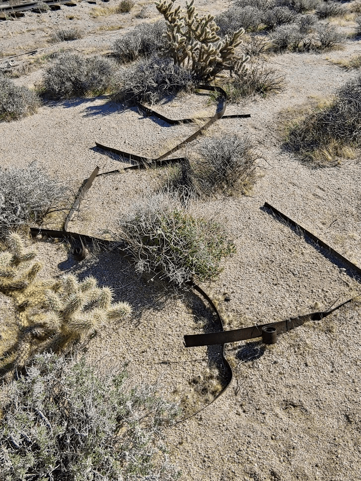
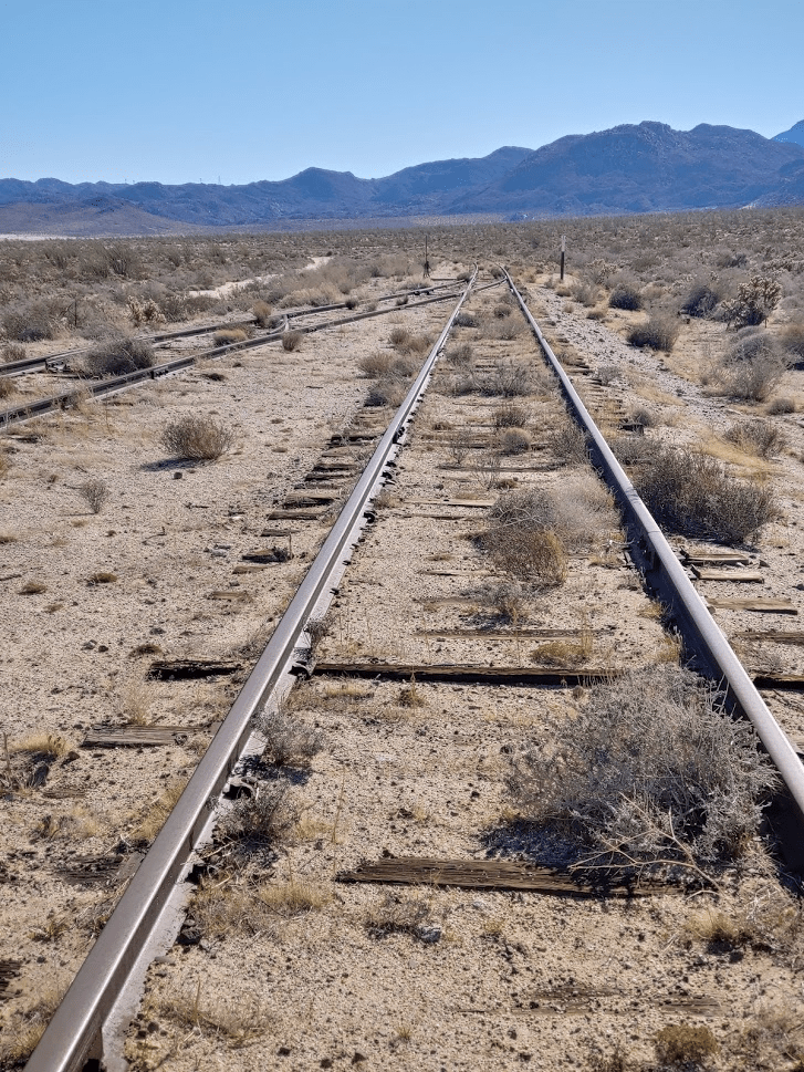
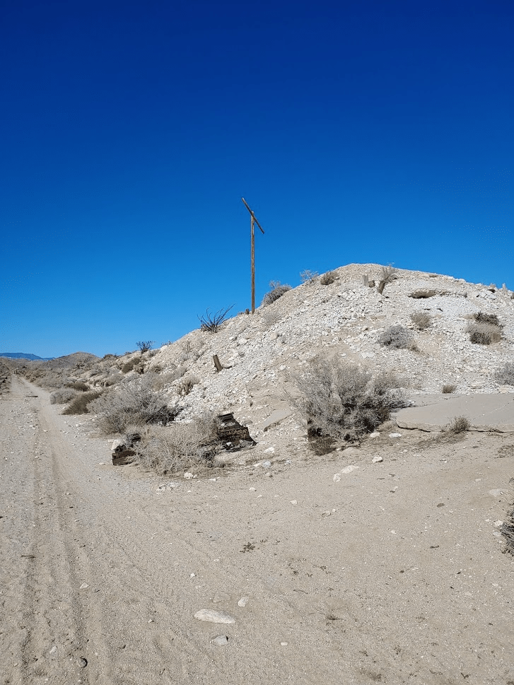
After about a half mile of walking I reached Dos Cabezas, the site of an old station on the San Diego-Arizona and Eastern Railway. Not much remains besides the old water tower.
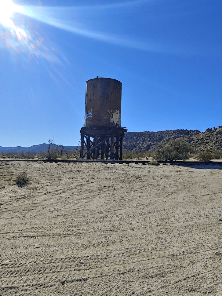
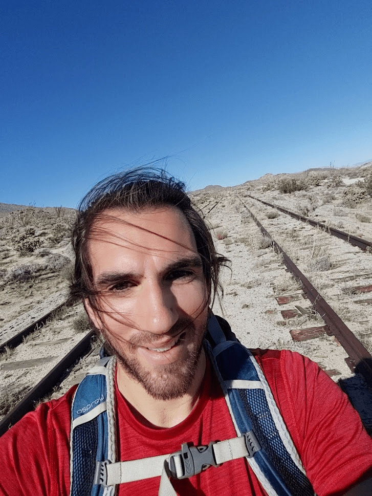
There were about 15 jeeps parked nearby with their drivers hanging out exploring the site. I went left and followed a dirt road which parallels the railroad tracks.
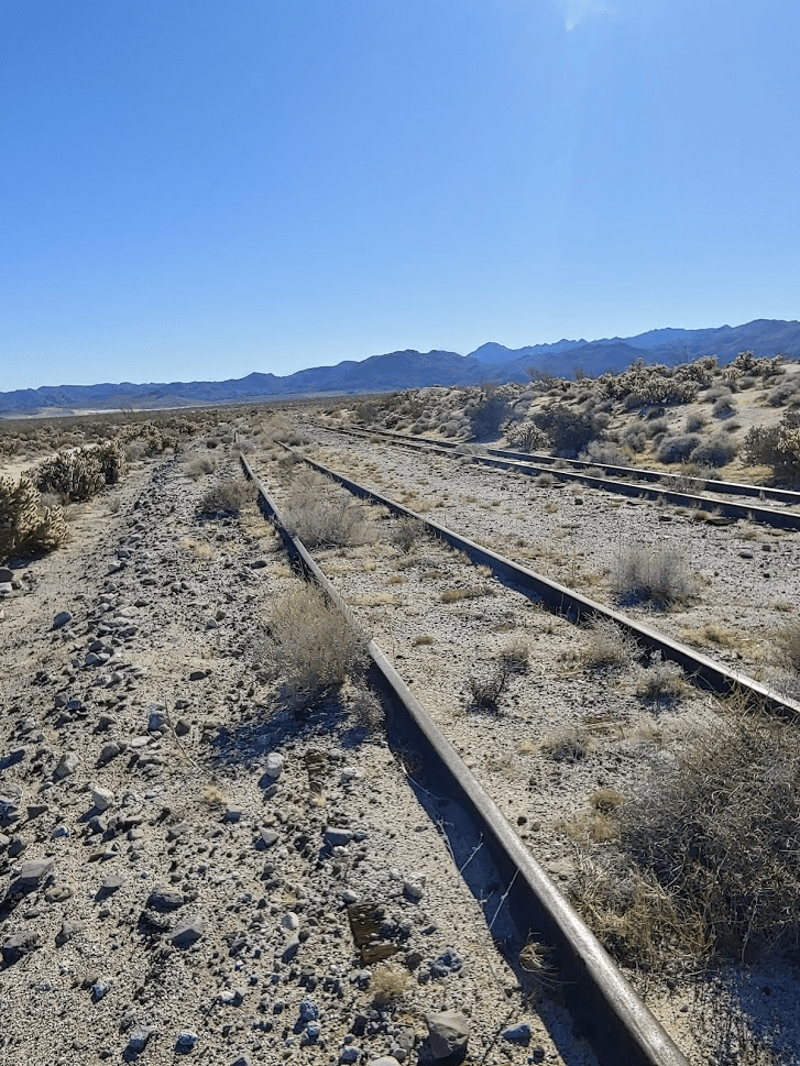
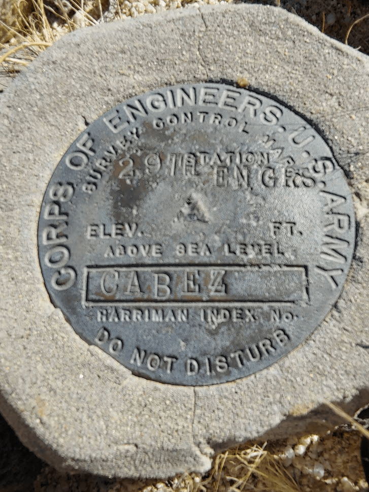
After about another half mile of walking, I crossed the tracks and found the Cabez Benchmark on the other side.
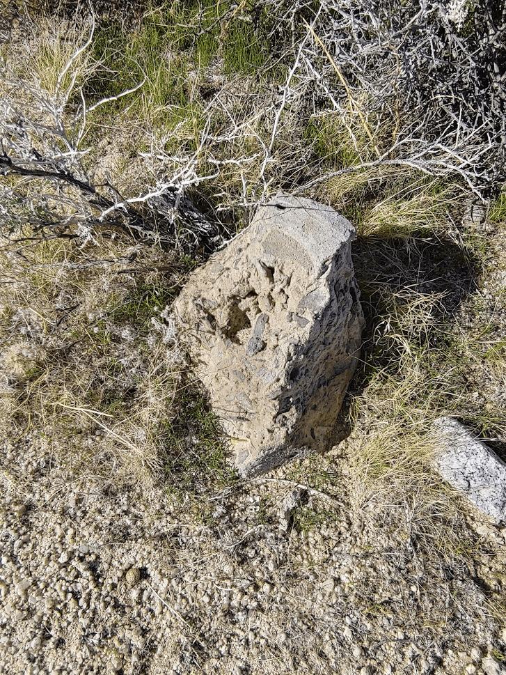
I also found the remains of where the reference markers used to be.
There was also some old survey junk lying around.
The benchmark is located near a track switch.
After taking some pictures I headed back the way I came. I stopped once again at Dos Cabezas. The jeeps were gone so I spent some time looking around.

I walked the final half mile back to the car. This hike covered 2.3 miles, 177 feet elevation gain, and 46:25 total time.

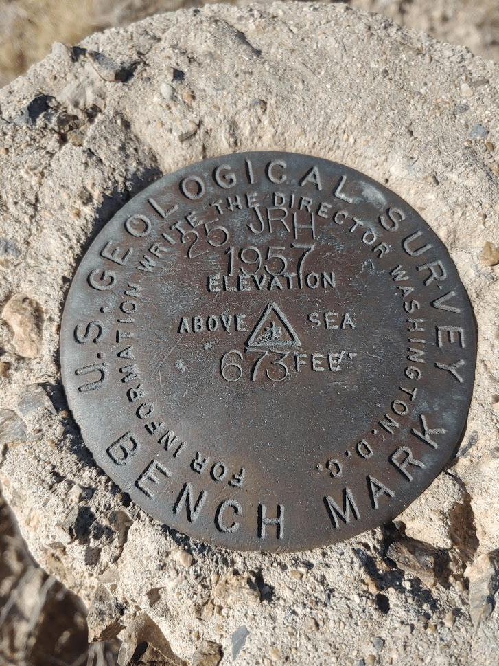
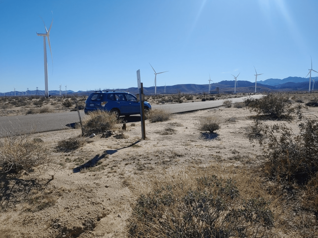
There was one more benchmark in the area I wanted to find, but this one wouldn’t require any hiking. I drove back to Highway S-2 and went south for a few miles towards Ocotillo and Interstate 8. I pulled over and parked right where Dos Cabezas Road begins and found the 673 Benchmark. I realized later that 673 is the elevation at this point.
After I took a few pictures I got back in the car and drove home. It was another successful day of hiking in the desert. It was an easier day than I was used to, but it was needed after the previous weekend. The 3 hikes totaled just over 7 miles.
