Pinto Peak is a 7508 foot peak located east of Towne Pass along Highway 190 just inside the west entrance to Death Valley National Park. It has over 2000 feet of prominence and is included in Andy Zdon’s Desert Summits book. It is part of the Panamint Mountains and is located northwest of Telescope Peak. I left San Diego Friday evening on 12/3 and drove as far as I could before stopping for the night. I parked a couple miles east of Trona Wildrose Road along the road to Ballarat Ghost Town. I woke up early the next day and made the 50 minute drive to Towne Pass. I started hiking at 5:55am from 4947 feet above sea level. It was 44 degrees when I got started.
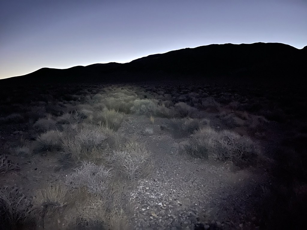
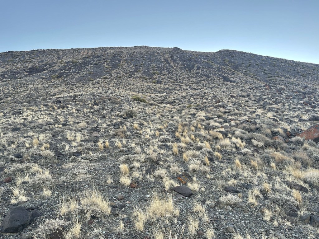
I hiked east across the open desert towards the foot of the mountains. I was able to turn off my headlamp pretty early into the hike.

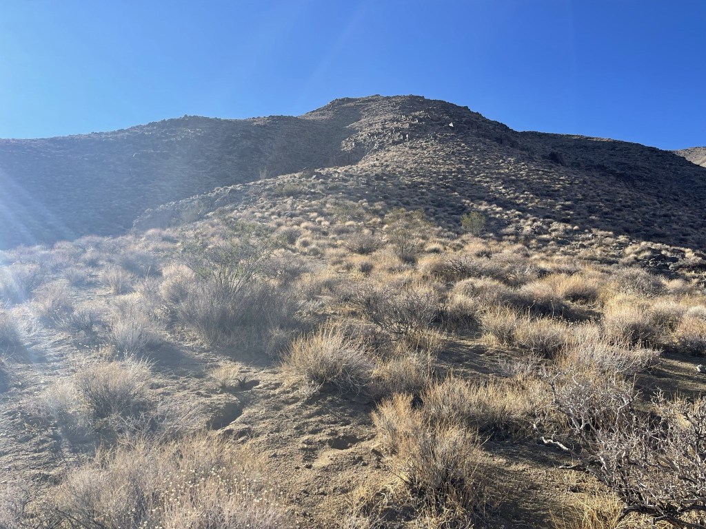
I reached the base of the mountain at 0.9 mile. I scrambled up a short but steep section of loose rock.

Once I reached the top of the steep section I hiked east up the ridge.
I followed the ridge as it curved to the south.
The ridge then turned east again.
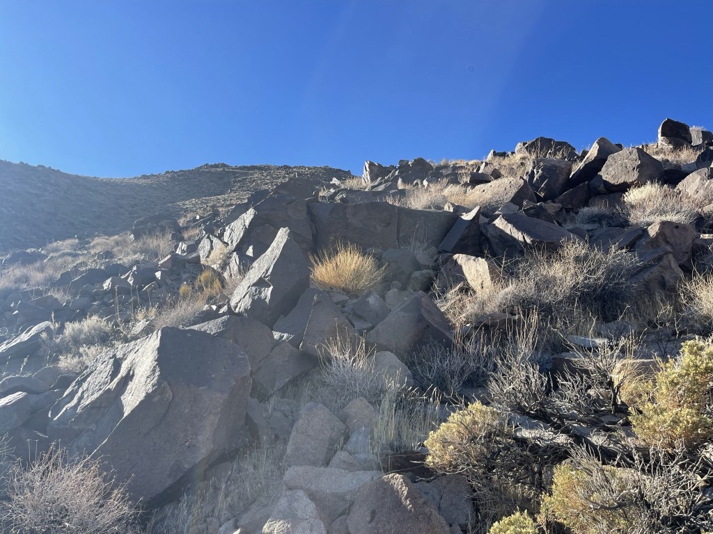
The next section was very steep.
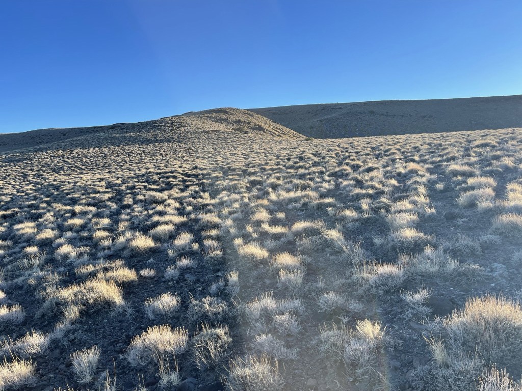
The ground was solid and there was very little brush, so I was able to move quickly.

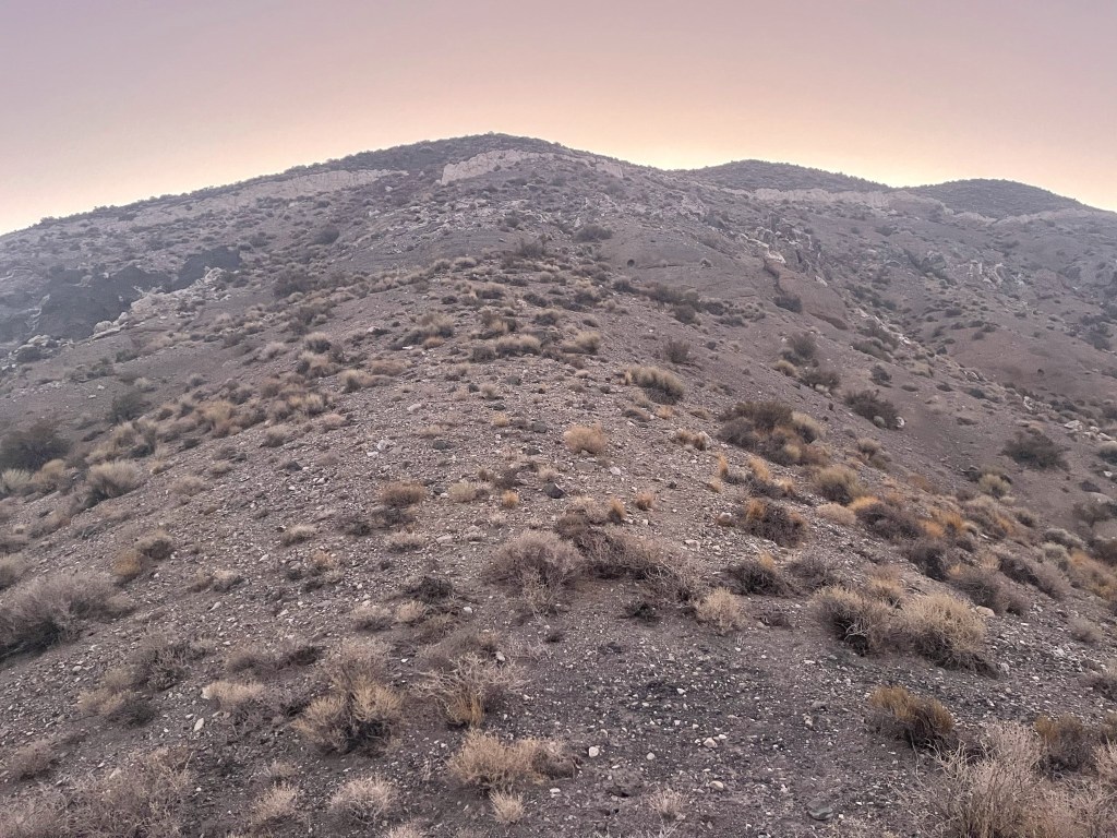
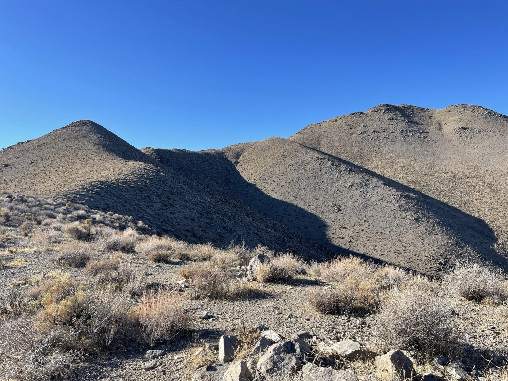
I reached a plateau at the top of the steep section. The rest of the way was relatively gentle.
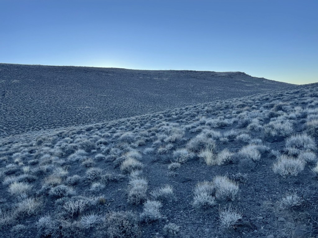
I hiked southeast across the plateau as the sun made its first appearance of the day.

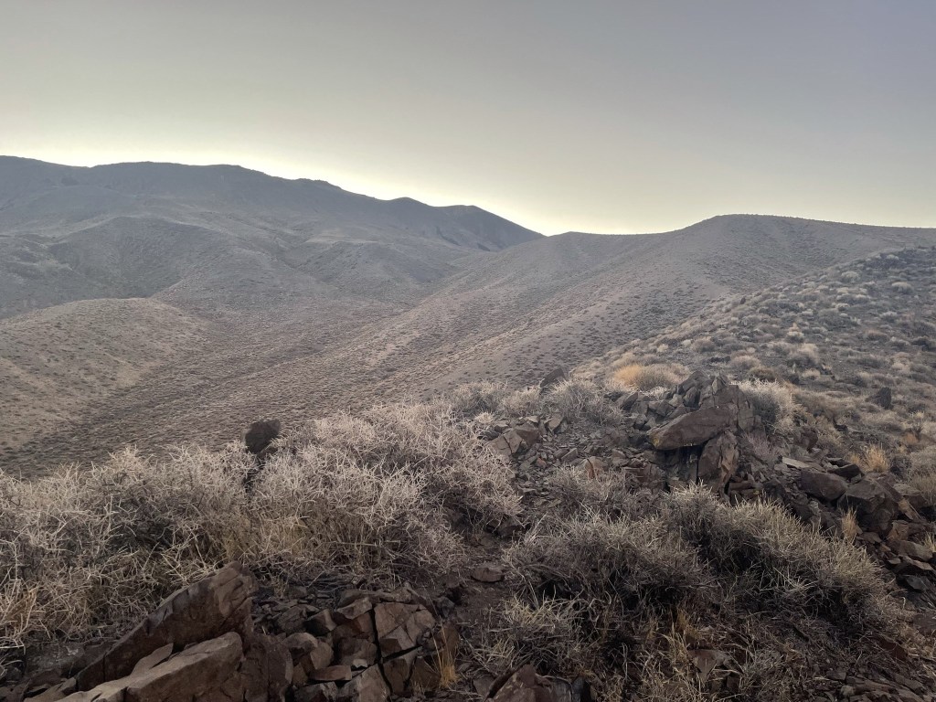
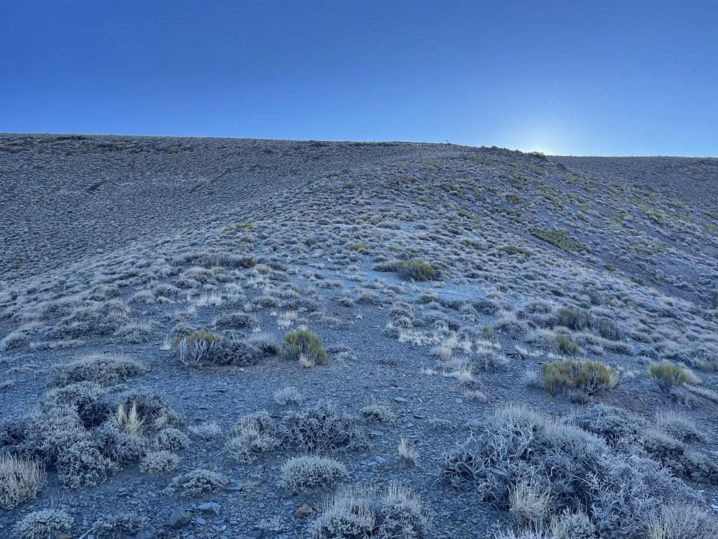
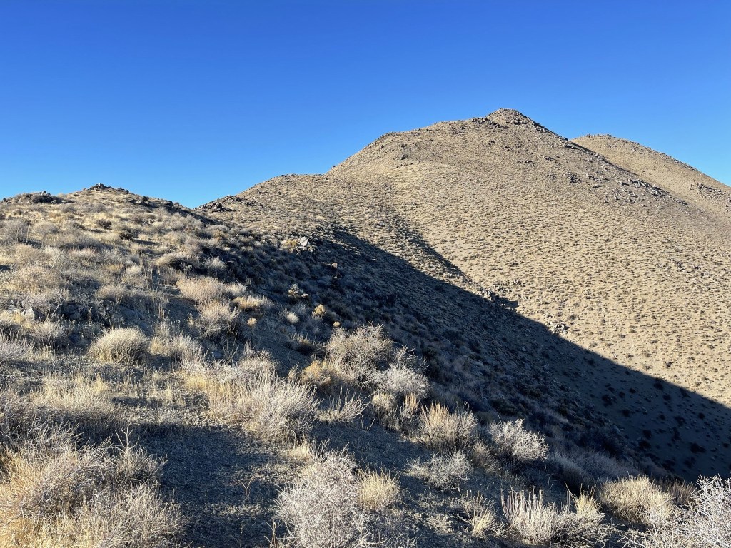
I turned east again and followed the broad ridgeline.
There was one final steep part before the summit.
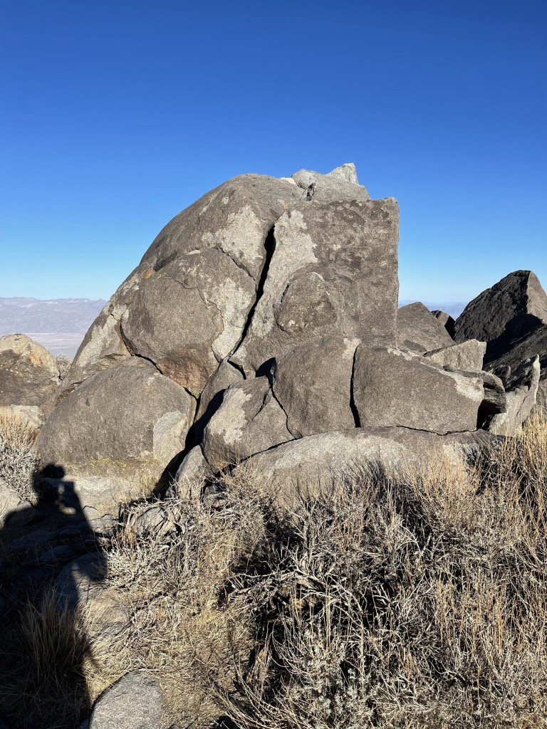
I reached the summit at 8:03am at the 4 mile mark!

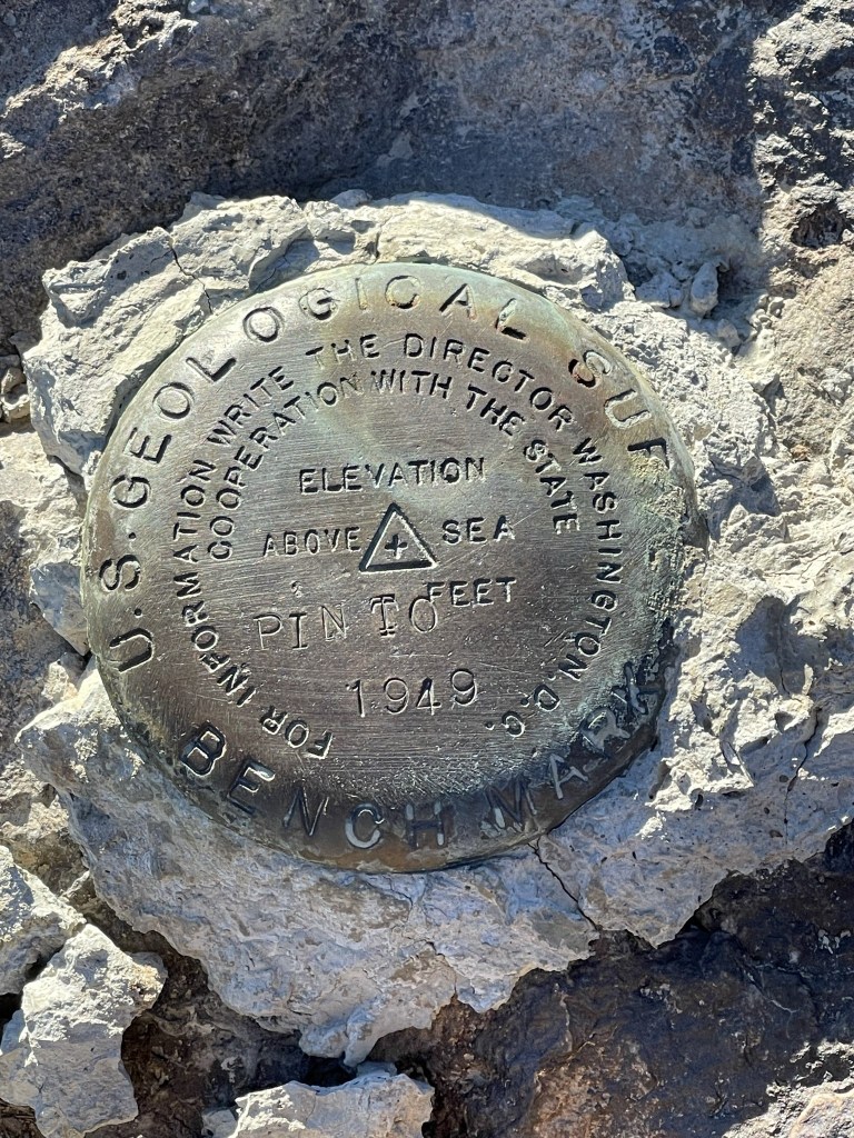
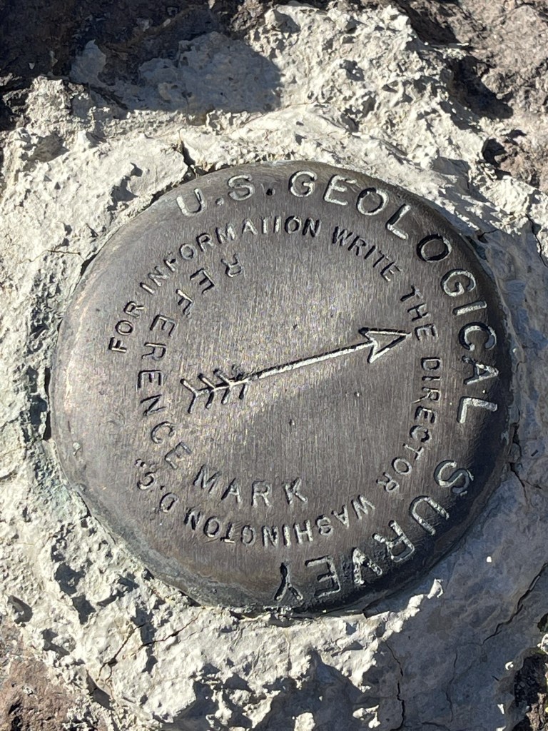
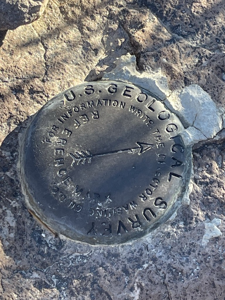
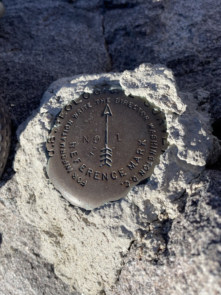
There were 2 register books, neither of which was very full. This is not a popular peak. The book I signed was placed in 2011 and was most recently signed on November 26. I located the benchmark and 2 reference markers.
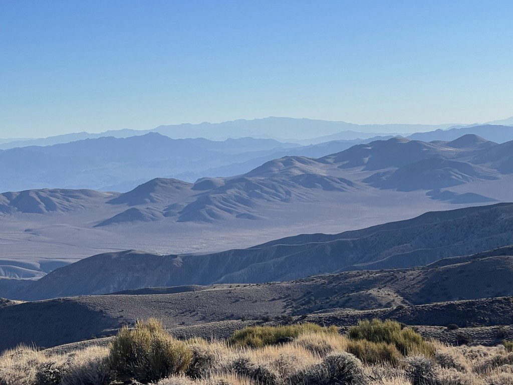
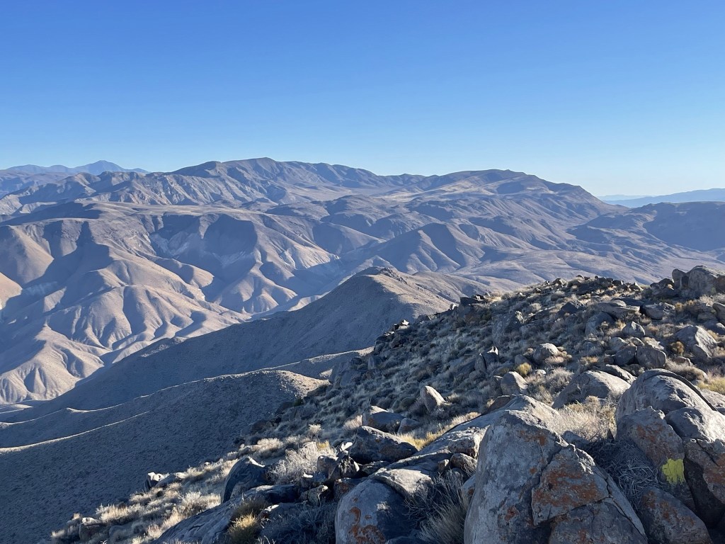
It was a perfectly clear day, so the views were excellent. To the south I could see Telescope Peak.

Mount Charleston to the east:
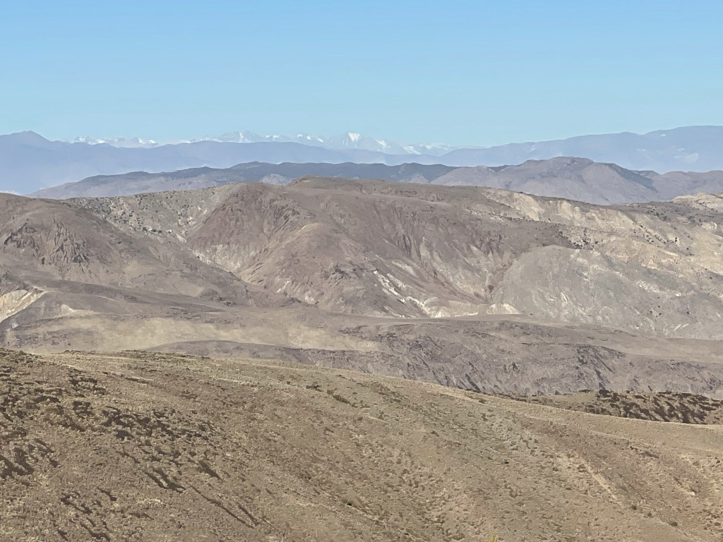
I could see all the way to snow-covered White Mountain Peak far to the north.

The Palisades area of the Sierra Crest was visible to the northwest.
Langley, Whitney, Russell, and Williamson to the west:
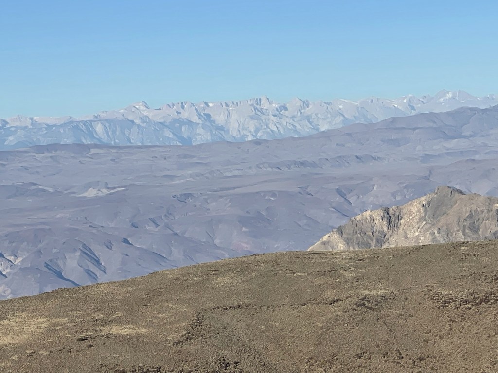
Olancha Peak was visible just south of the Whitney area. It was interesting how the southern Sierra seemed to have very little snow compared to the Palisades area.

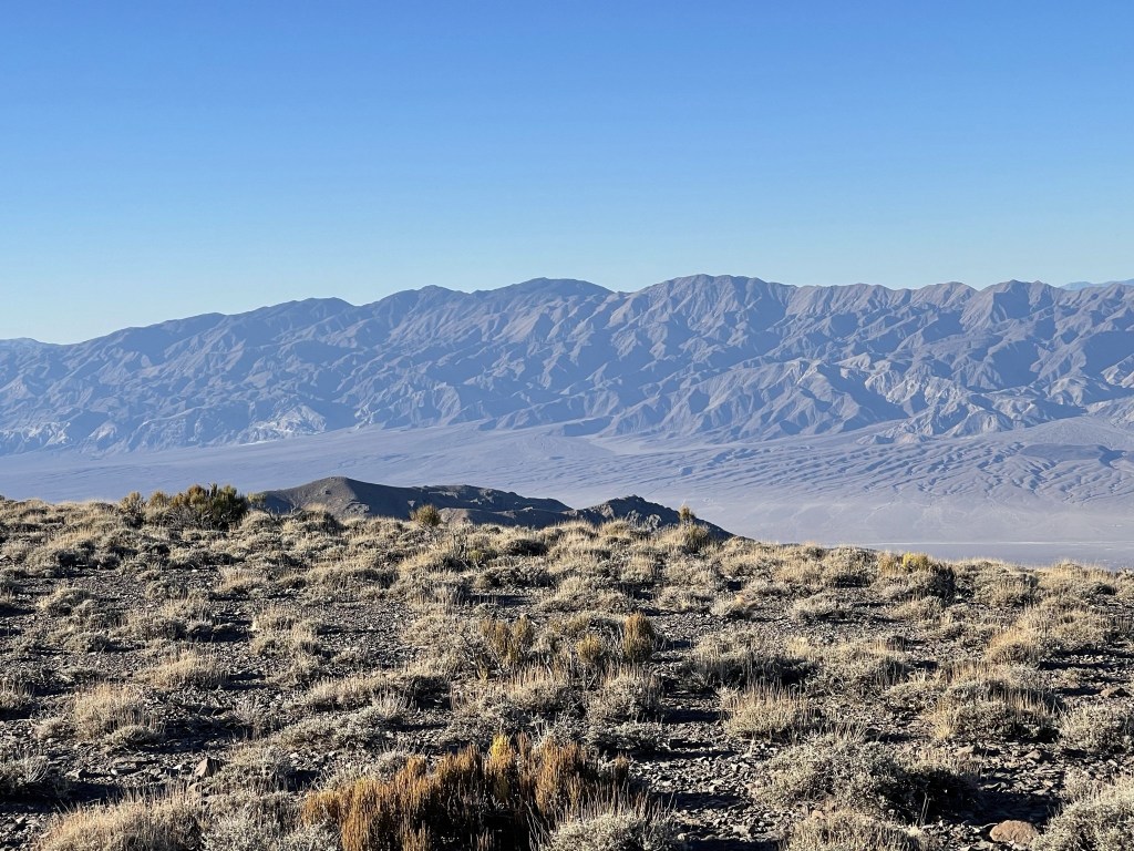
Maturango Peak across Panamint Valley from Telescope:
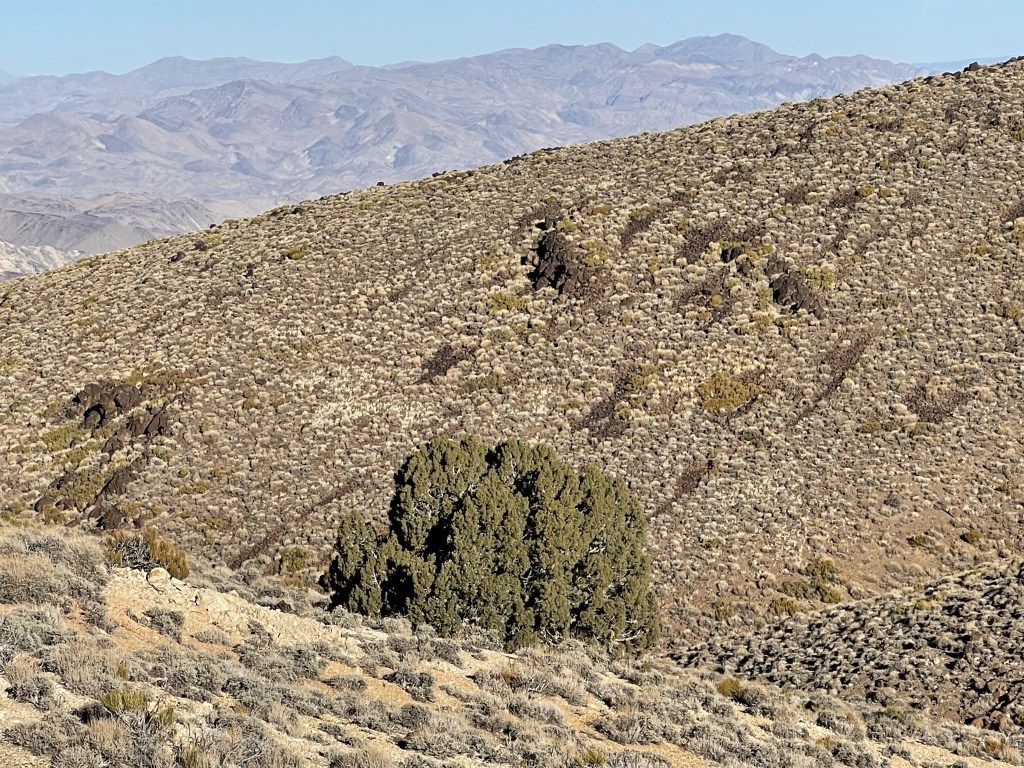
I began descending after a 25 minute break. I noticed a lone juniper on the descent.
I retraced my ascent route and made quick time down the mountain. I could see my car from above.
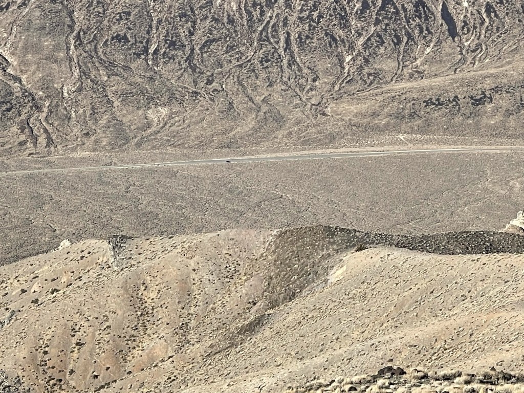
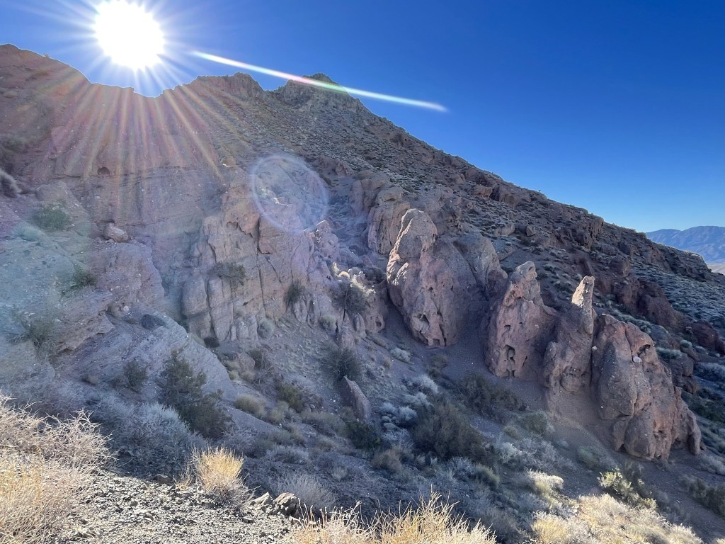
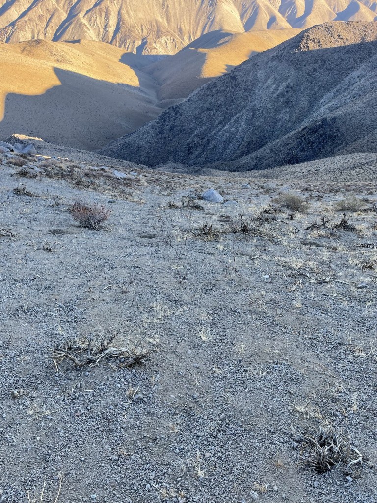
I noticed some cool rock features near the desert floor.
I reached the car at 10:11am. This was definitely one of the easiest desert peaks I have ever climbed. The solid footing, mostly gentle slopes, and lack of brush made for fast hiking. This hike totaled 8.15 miles, 2956 feet elevation gain, and 4:15:45 total time.


Canyon Point
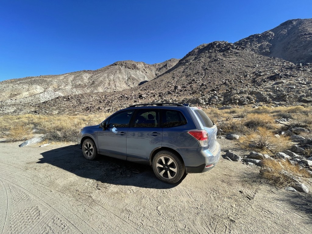
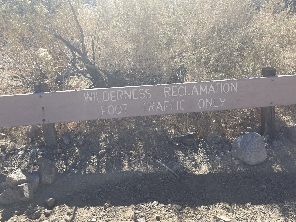
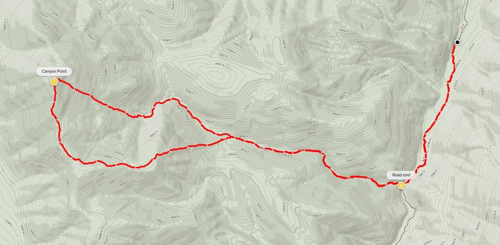
My plan for the afternoon was to climb 5890 foot Canyon Point, a peak with just over 1000 feet of prominence located a few dozen miles north in the Panamint Range. It is included in Andy Zdon’s book as well as the Sierra Club Desert Peaks Section. The drive to the trailhead is substantially more involved than Pinto Peak this morning. From Towne Pass I drove south to Stovepipe Wells, where I followed the DPS directions by driving about 17 miles on Cottonwood Canyon Road to the trailhead. The first ~6 miles were flat, but the road was badly washboarded. The road got rougher for the next 2 miles or so until I reached a small parking area where the road splits. Cottonwood Canyon Road continues to the south and Marble Canyon Road goes to the west. I stayed on Cottonwood Canyon Road and followed it until parking about a mile from the end. The road was better than I expected and was no problem for my Subaru. You’ll definitely want high clearance but 4WD not required. I probably could have driven all the way to the end, but I was getting sick of driving by that point. This area is actually a popular backpacking loop, and Marble Canyon is supposedly a very impressive slot canyon with 100 foot high walls. I started this hike at 12:18pm from 2570 feet above sea level.
I hiked south on Cottonwood Canyon Road.
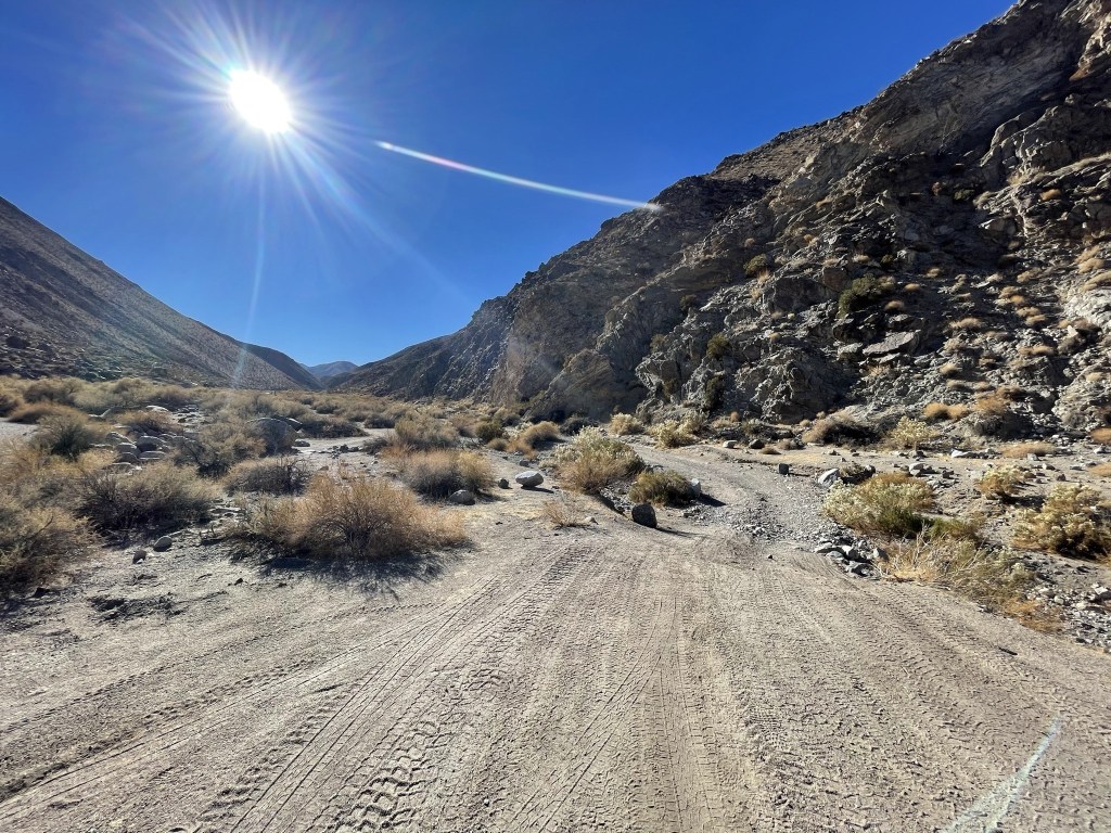
At 1 mile I reached the end of the road.
As the name suggests, the canyon was full of cottonwood trees.

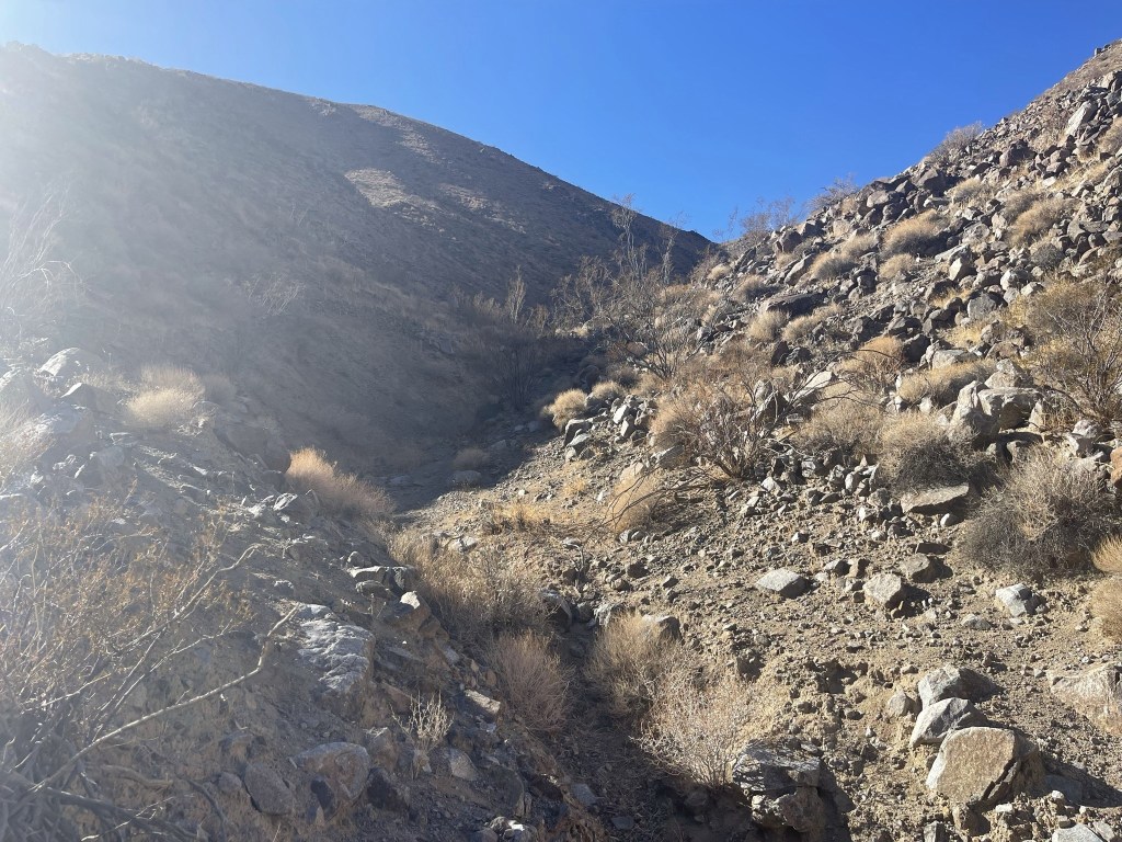
The backpacking loop continues up the canyon and eventually loops around to the north towards Marble Canyon. However, the route to Canyon Point involved ascending a side canyon to the west. I climbed up a steep section of loose rock at the mouth of this side canyon.
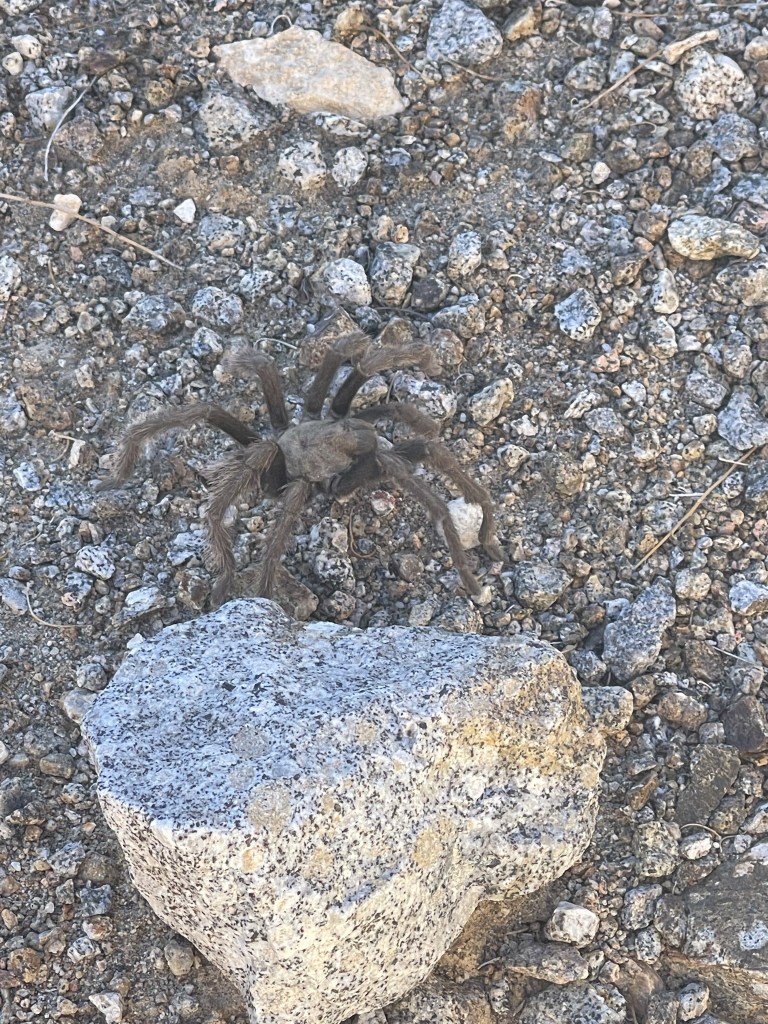
I spotted a large brown tarantula near the beginning of the side canyon.
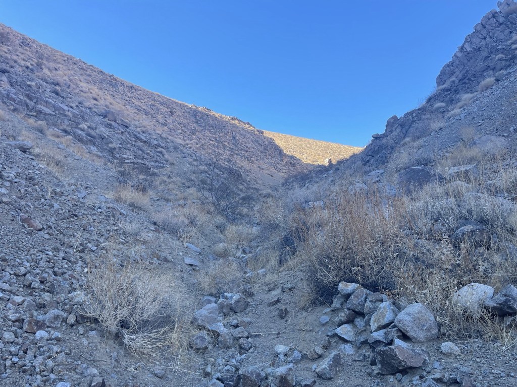
I proceeded west up the side canyon. The grade was gentle and there was minimal brush to deal with.
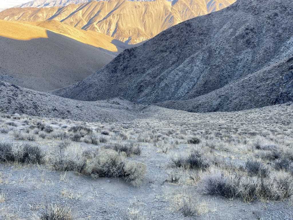
Canyon Point (right center) came into view directly ahead. The route would involve ascending the subpeak on the left and then following the ridge to the summit.

At 2.1 miles I began climbing up the subpeak to the southwest.
There were a few rocky parts, but it was generally pretty easy.
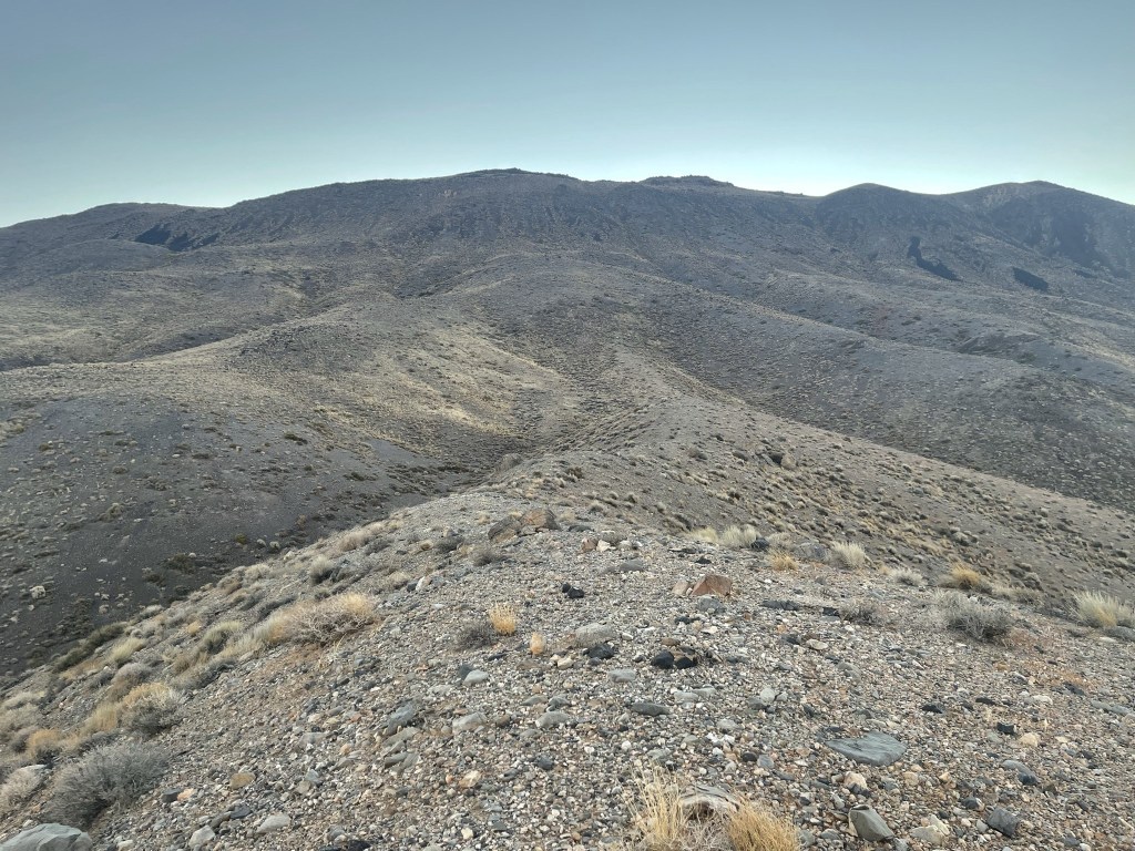
I reached the ridgeline at 2.6 miles at 5000 feet. I had just ascended 1200 feet in 0.5 mile. This sounds like a lot, but similar to this morning’s hike, the terrain was very easy and there was no brush. I had to sidehill around the small prominence pictured below on the left.
Once I was beyond the little bump, it was an easy ridge hike to the summit.
Almost there!

The summit block was easy class 2.
I reached the summit at 2:37pm at 3.7 miles! I signed the register which dated to 1989. The previous entry was from October 28. I located the benchmark and 2 reference markers.


The views were superb once again. To the south I could see Towne Benchmark (left center) and Panamint Butte (right center), with Telescope Peak on the far left. I planned to climb Towne Benchmark and Panamint Butte the next day.
Tucki Mountain to the east:

Dry Mountain (left) and Tin Mountain (right) to the north:

Waucoba Mountain (far left) and White Mountain Peak (far right) to the northwest:

I began the descent after a 30 minute break. The descent route was a lot of fun. Instead of following the ridge south and then east back to the subpeak, I descended directly east off the summit down an extremely sandy slope.
I plunged stepped my way quickly down the sandy slope. I dropped 1500 feet of elevation in about 10 minutes. I descended so fast my ears were popping!
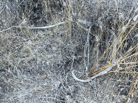
I reached the bottom of the slope at 4.3 miles. I found a snakeskin in some nearby shrubs.
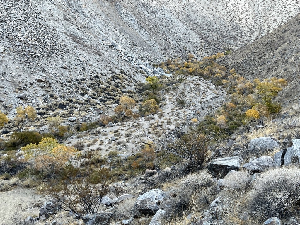
From there I hiked east down the canyon, eventually rejoining my ascent route at 5.1 miles. Near the mouth of the canyon, I got some good pictures of Cottonwood Canyon below:
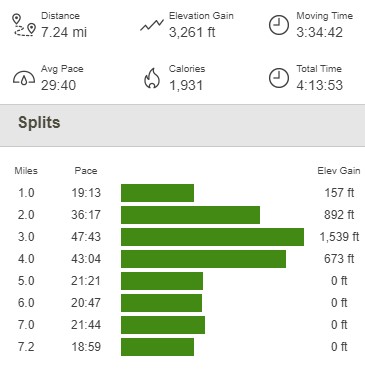
I made it down into Cottonwood Canyon again at 6.2 miles. From there, it was an easy road hike back to the car, which I reached at 4:32pm. This hike totaled 7.24 miles, 3261 feet elevation gain, and 4:13:53 total time.
I was planning to climb Towne Benchmark and Panamint Butte the next day, which starts from the same trailhead as Pinto Peak (Towne Pass). There aren’t any good places to park overnight near the pass, so I simply drove a few miles and parked near the Cottonwood Canyon/Marble Canyon split. I fell asleep early and had an excellent night of sleep.
