Towne Benchmark (7287 feet) and Panamint Butte (6584 feet) are 2 peaks located northwest of Towne Pass in the Panamint Mountains. Both peaks are included in Andy Zdon’s Desert Summits book and Panamint Butte is on the Sierra Club Desert Peaks Section List. Towne Benchmark is also a 2000 foot prominence peak. Panamint Butte can be approached from Panamint Valley to the west, but I decided to combine the 2 peaks into one long hike from Towne Pass on Highway 190. I actually had attempted this exact route in March 2020 but turned back due to weather conditions. I retreated after about a mile due to extremely cold, windy, and foggy conditions. I camped the night before in Cottonwood Canyon after climbing Canyon Point. I woke up early and made the 1 hour drive to Towne Pass. I began hiking at 6:40am from 4966 feet above sea level.

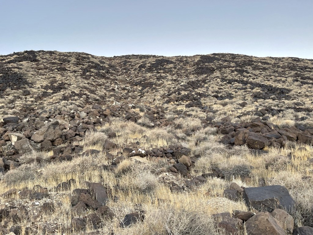
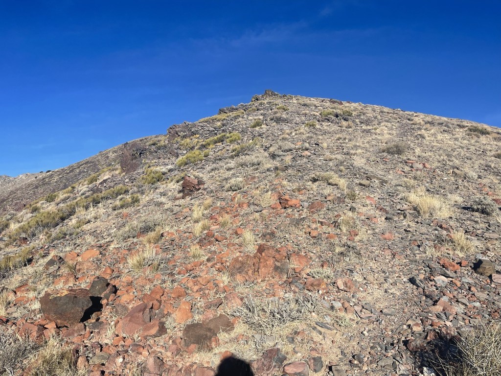
I hiked across the open desert and then ascended the steep, rocky slope to the west.
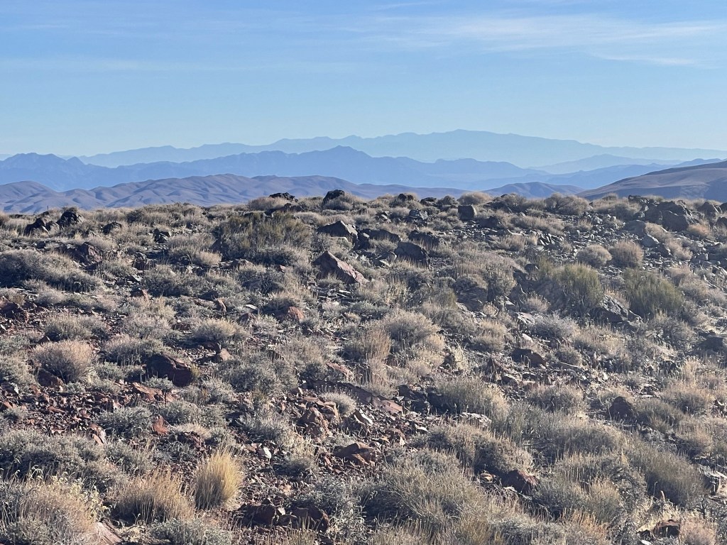
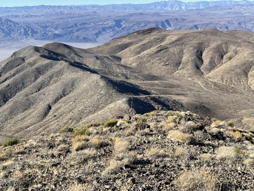
I reached the top of the slope at 0.7 mile and found myself on top of a ridge. Towne Benchmark (far left) was now visible in front of me. My route would involve following the undulating ridgeline on the right all the way to the peak.
I hiked north along the ridgeline. It was pretty windy on top of the ridge, so I bundled up. I was able to follow a vague use trail here and there.
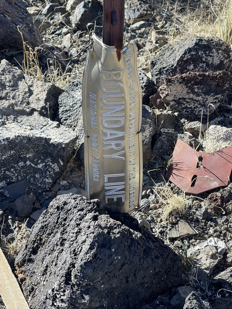
There were a number of survey markers placed at regular intervals along the ridge. The ridge used to mark the park boundary before 1994 when Death Valley was upgraded from National Monument to National Park.
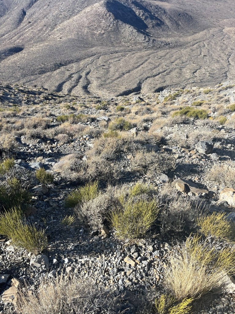
These survey poles were also placed along the ridge.

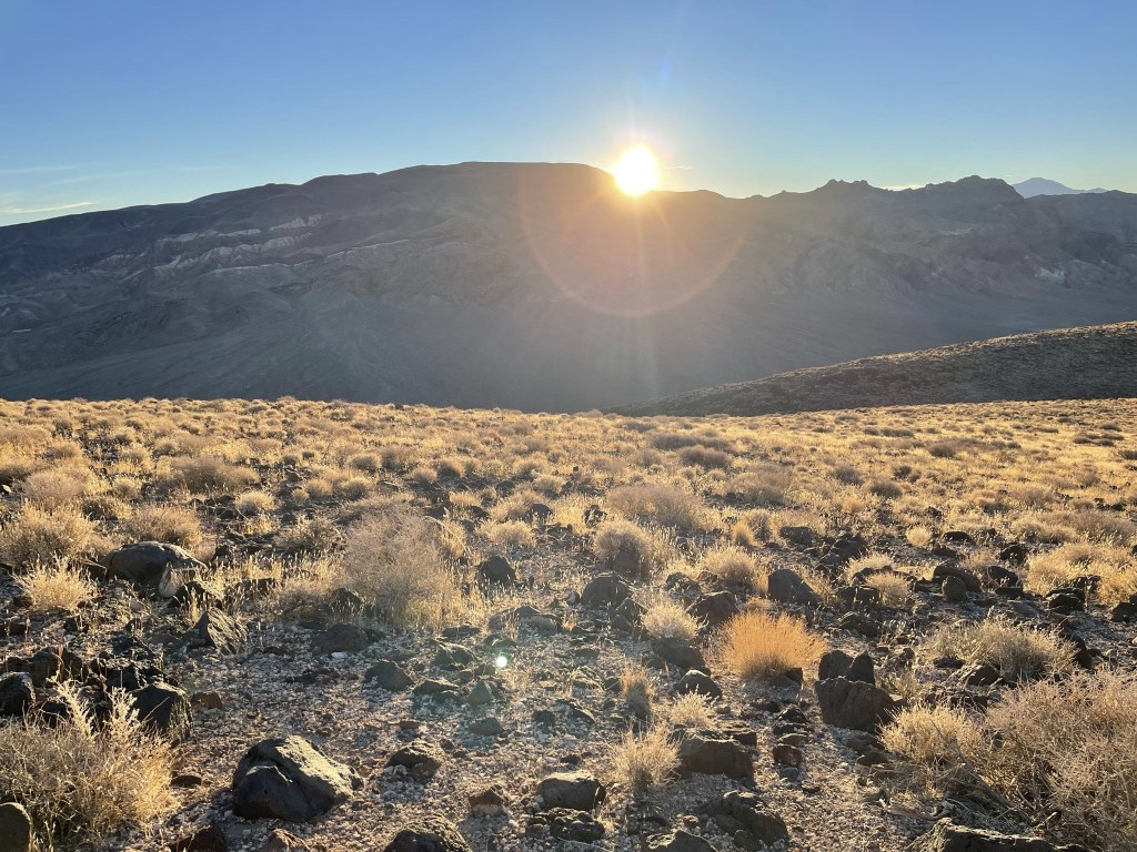
The sun began to rise above Pinto Peak behind me to the east.
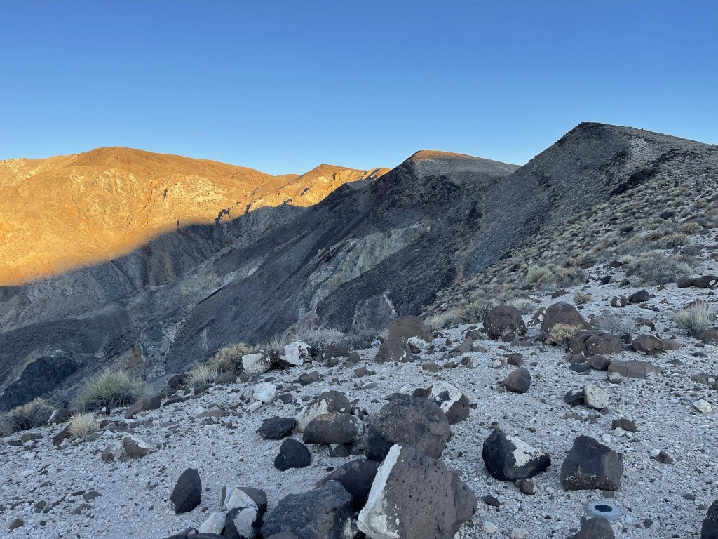
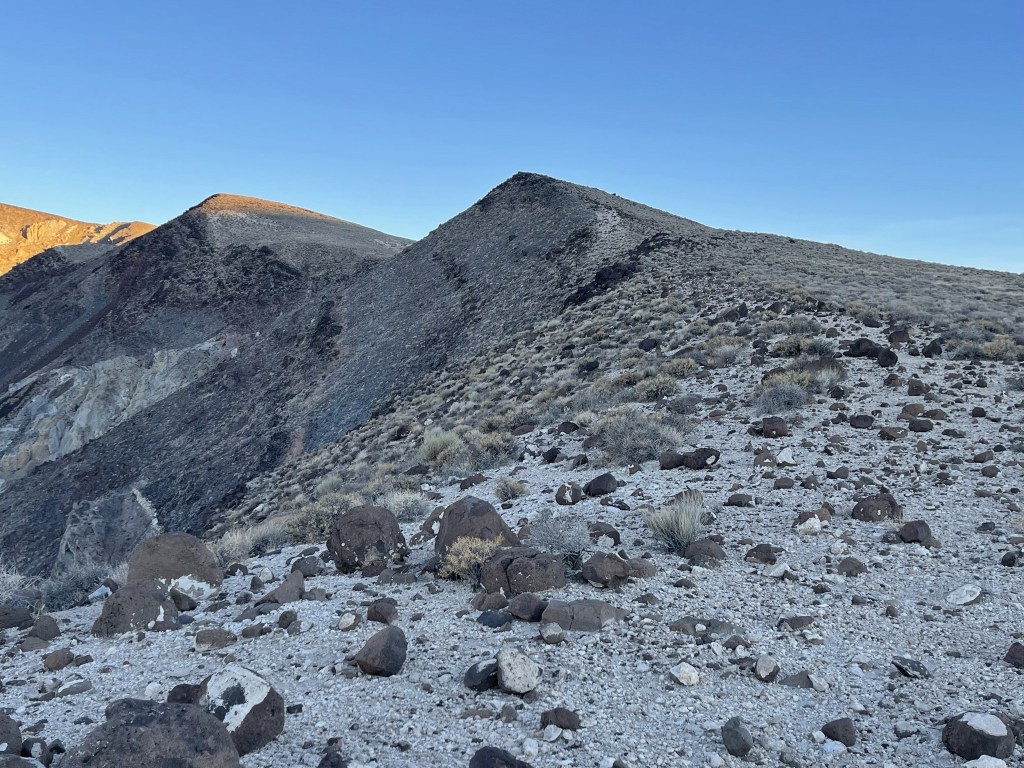
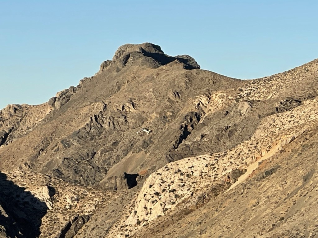
The ridge curved west, then north, then west again. There were a few minor dips, but it was mostly a steady upward climb. I spotted the Albatross plane crash on a hillside south of Towne Benchmark.
I reached Peak 6620 at 8:04 at 2.2 miles. Towne Benchmark was close now.
I descended Peak 6620 to the southwest.

I dropped about 200 feet to a saddle and then turned west and began climbing again.

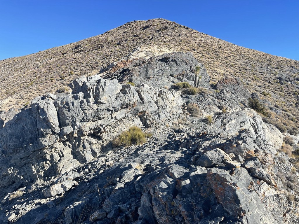
This section was steep.
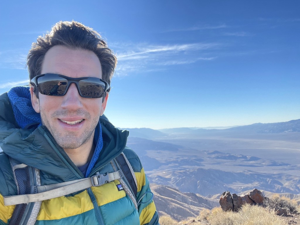
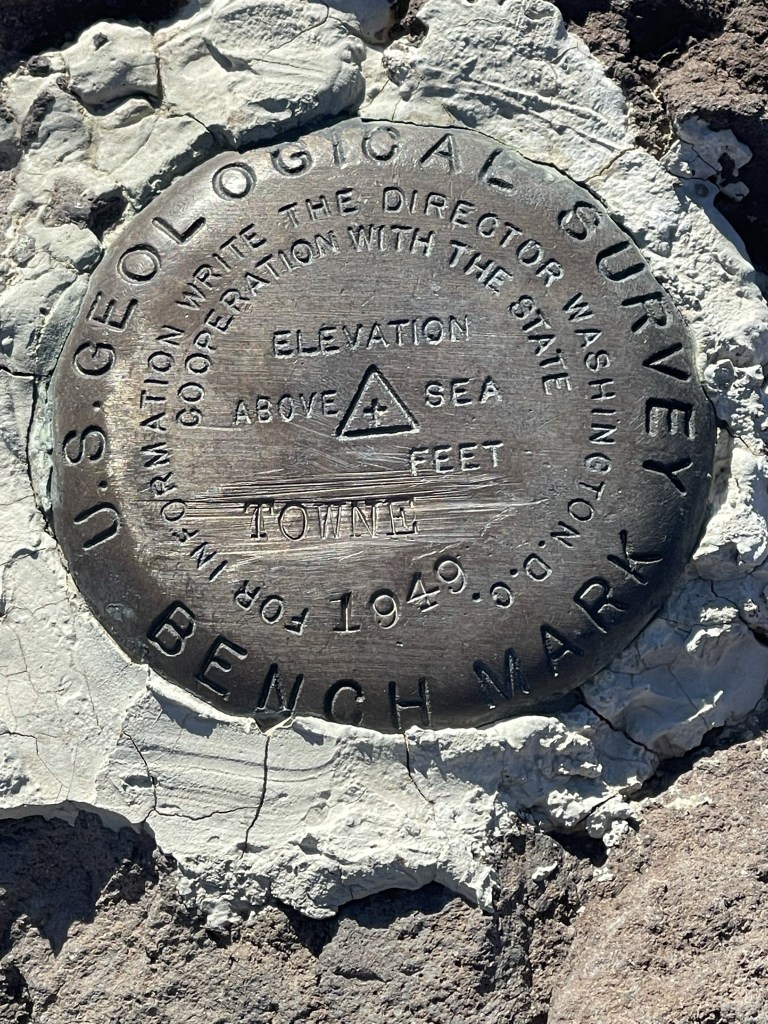
I reached Towne Benchmark at 8:56am at 3.3 miles!
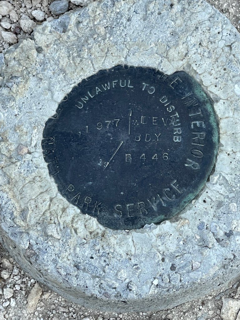
I signed the register which dated to 2012. The previous entry was from December 1. There was an older register book as well. I located the benchmark and 2 reference markers.


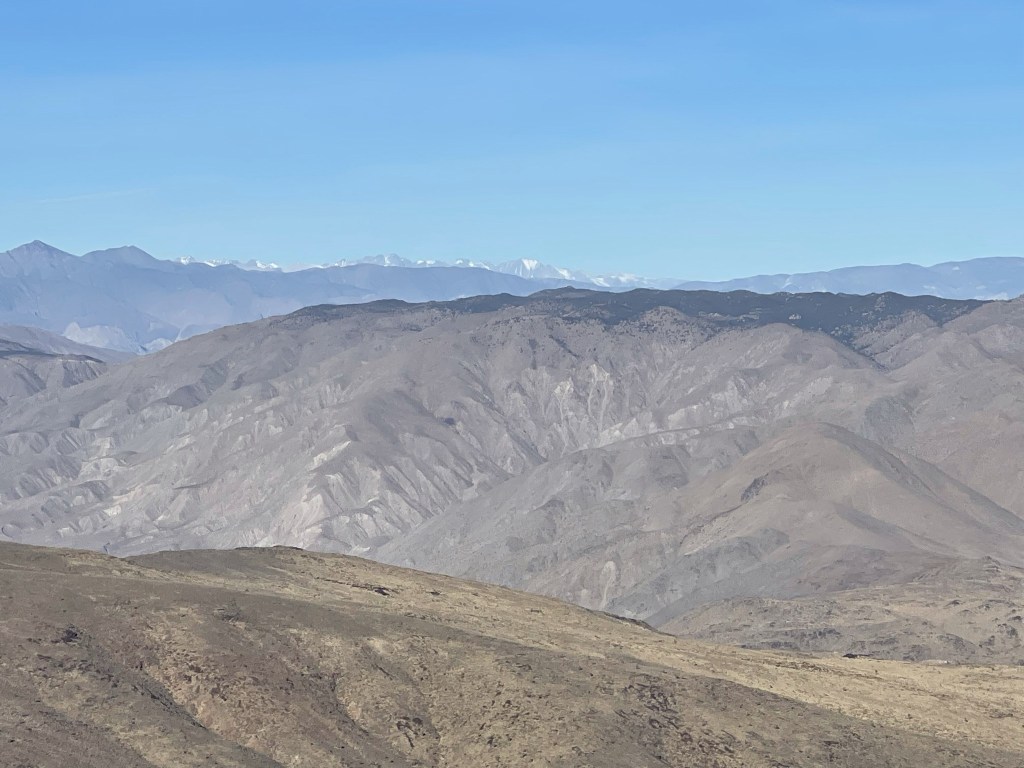
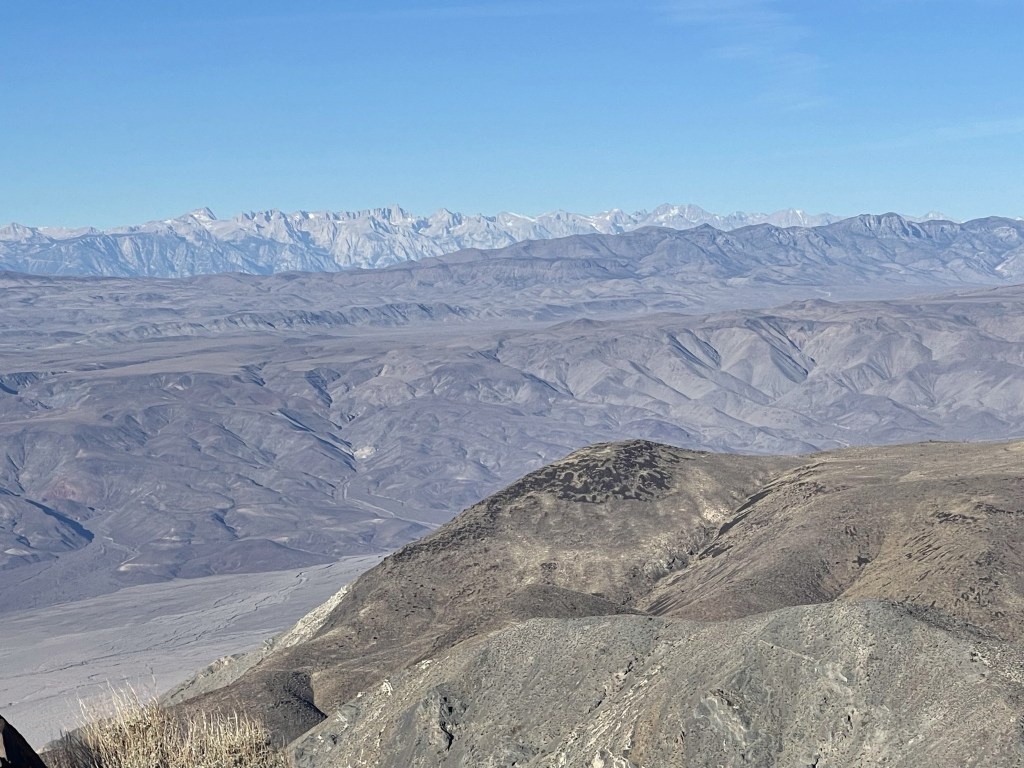
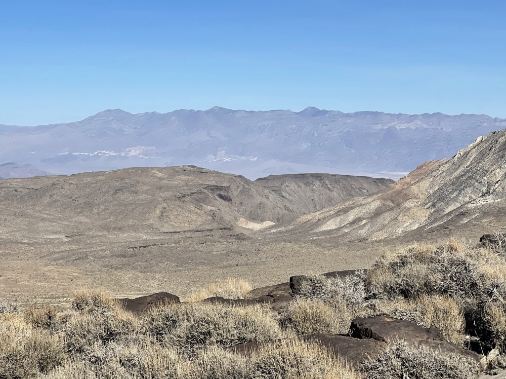
Similar to the previous days, there wasn’t a cloud in the sky, so the views were incredible. I could see the snow-covered High Sierra to the northwest:
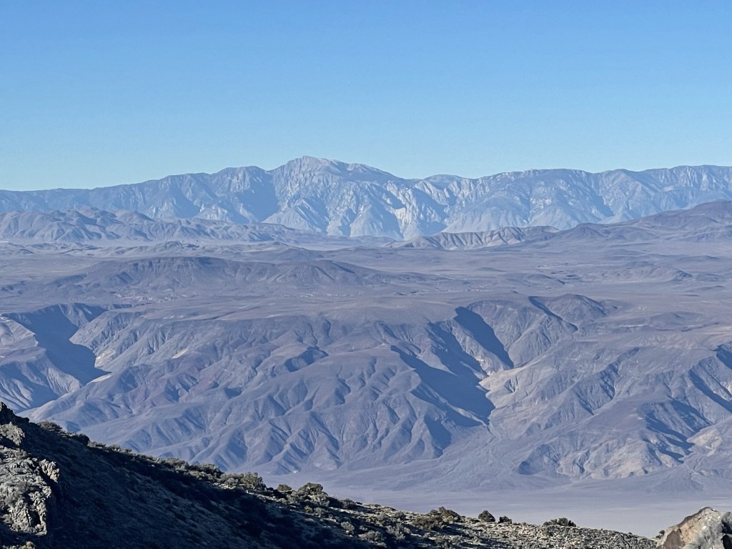
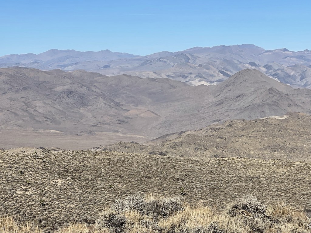
Langley, Whitney, Russell, Barnard, Trojan, Tyndall, Williamson, and Keith (among others) to the west:
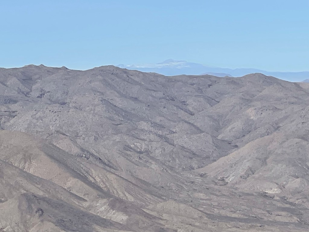
Olancha Peak:
Maturango Peak:
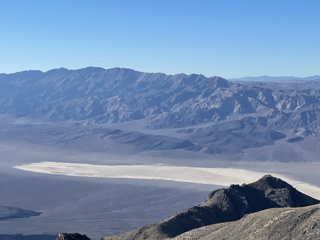
To the south I could see Wildrose Peak, Rogers Peak, Bennett Peak, Telescope Peak, and Sentinel Peak. Pinto Peak, which I climbed the day before, is the flat rounded peak on the left.
Charleston Peak far to the southeast in southern Nevada:
I pressed on after a 15 minute break.
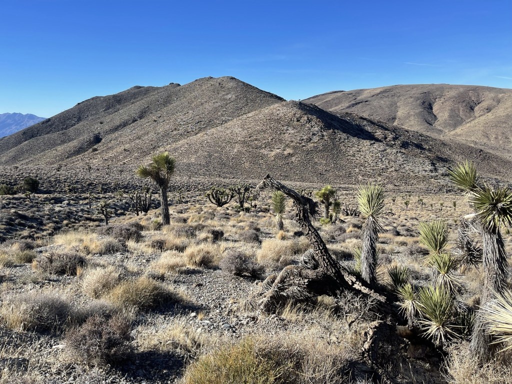
I followed a broad ridge to the northwest. I started to see a few junipers.
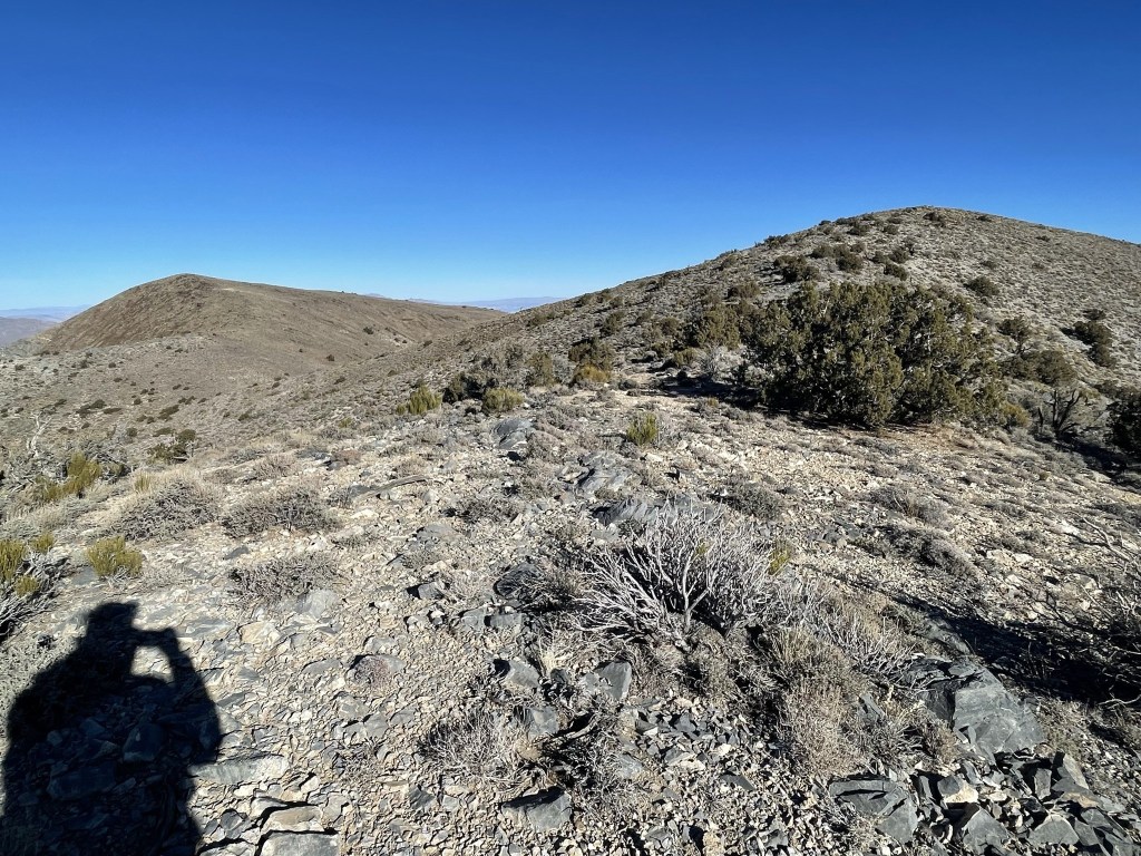
I also started to see a few Joshua trees.

I was still following the old Death Valley boundary.

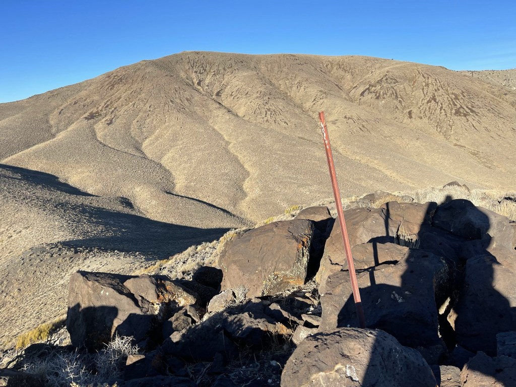
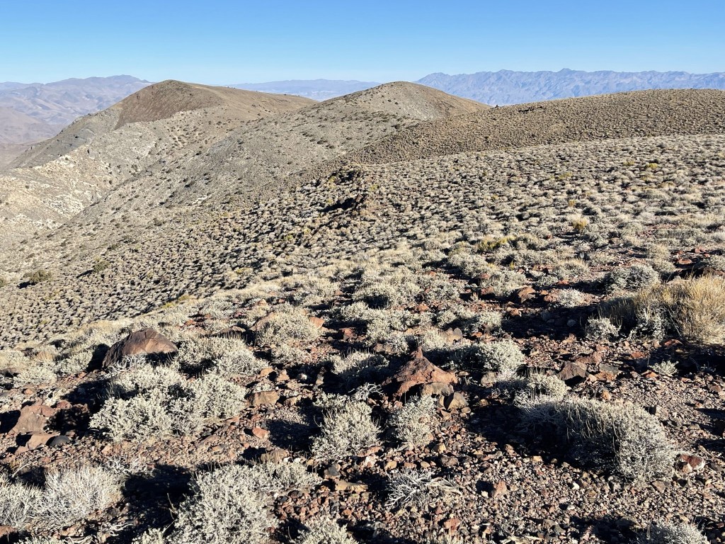
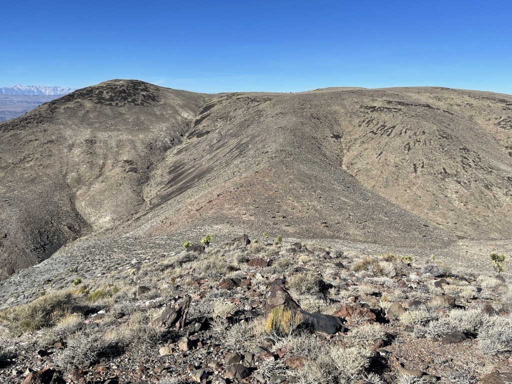
I dropped about 200 feet to a saddle and then climbed up to a Peakbagger peak called Towne North (7280 feet), which I reached at 4.7 miles. Towne North is listed as only 7 feet lower than Towne Benchmark, and there seems to be some uncertainty about which point is actually higher. They looked the same to me when I was out there. I had a good view of Panamint Butte just a mile or so to the west. My route would involve dropping over 1000 feet to a small valley, following the gentle ridgeline to Peak 6500 (left foreground), and then finally descending into the small dip in the center and climbing to Panamint Butte on the far right (foreground).
I made the steep descent southwest from Towne North. I had to go slowly down this part.
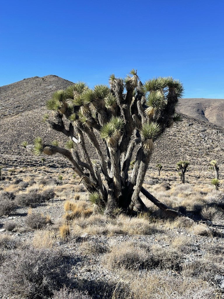
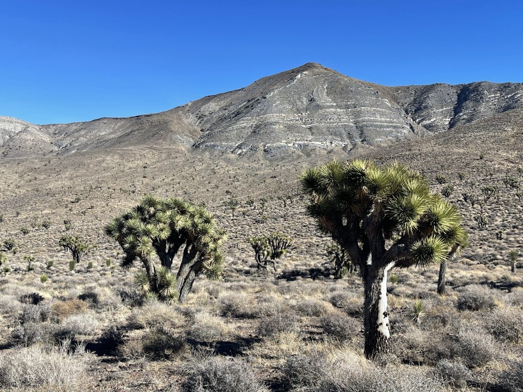
At 5.4 miles I reached the small valley between Towne North and Panamint Butte. I had dropped 1200 feet in 0.7 mile. The valley was full of Joshua trees.
There were some pretty big ones.
I climbed up the gentle ridgeline towards Peak 6500.

I was still following the old boundary.

I reached Peak 6500 at 10:42am at 6.2 miles. Panamint Butte was close now.
I descended 400 feet to a saddle at 6.8 miles.

I then climbed up the gentle slope and reached the summit at 11:22am at 7.5 miles! I signed the register which had been previously signed on March 20. There were actually 2 register books, one from 1985 and one from 1987. The views were fine, but slightly less spectacular than Towne Benchmark due to it being 700 feet lower. I could see Grapevine Peak to the northeast.
Dry Mountain and Tin Mountain to the north:
And White Mountain Peak far to the north:
I began the return hike after a 30 minute break. Rather than hike back over Peak 6500, I set off directly northeast towards Towne North.
I reached the saddle at 8.8 miles at the 5800 foot level. I then began the steep climb of Towne North. This would be the most difficult part of the hike.

It was very steep, but the footing was solid, so I made good progress. I enjoyed scrambling up some of the rocky sections.
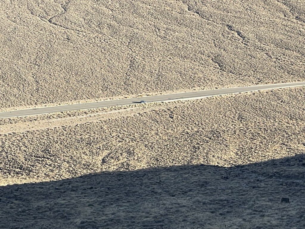
I reached Towne North again at 9.9 miles. From there, it was still a few miles, but the rest of the hike was relatively easy. I bypassed Towne Benchmark and took a more direct route to Peak 6620 on the way back. Soon I was able to see my car again at Towne Pass.
I reached the car at 3:43pm. This hike totaled 14.35 miles, 5709 feet elevation gain, and 9:02:59 total time.