Pilot Rock, at 6234 feet, is the highest point in Petrified Forest National Park. The national park highpoint list was something I was trying to work on as it’s a great way to combine my peakbagging hobby with visiting some of the most beautiful places in the country. I was at 10/63 with my most recent being Channel Islands National Park’s El Montanon. Pilot Rock is located in the northwest corner of the park 8 or so miles from the main park road. There apparently is a much shorter way to hike it from the north, but that involves a difficult 4WD approach and some private property issues. I had no interest in that, plus I thought the idea of hiking all day across the Petrified Forest wilderness sounded pretty cool. I had driven through the park the day before and done many of the popular short hikes, but I was looking forward to this much more. I slept the night before at the Hopi Travel Plaza about 20 miles west of the park. I woke up with the sun and made my way to the park entrance around 6:45am. Unfortunately, the park gates do not open until 8, so I had to sit outside and wait for over an hour. This seemed really dumb to me – I wasn’t the only one waiting for an hour and there were probably 30 cars there by the time the gate finally opened. I parked at the Painted Desert Inn and set off into the wilderness at 8:12am from 5845 feet above sea level.

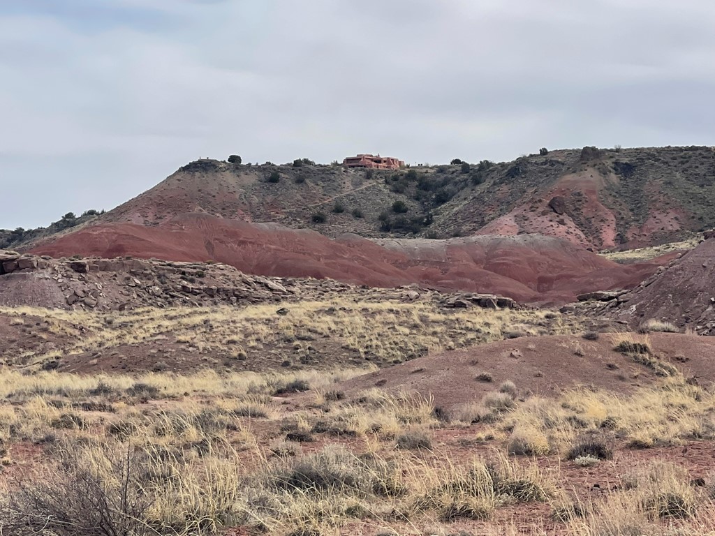
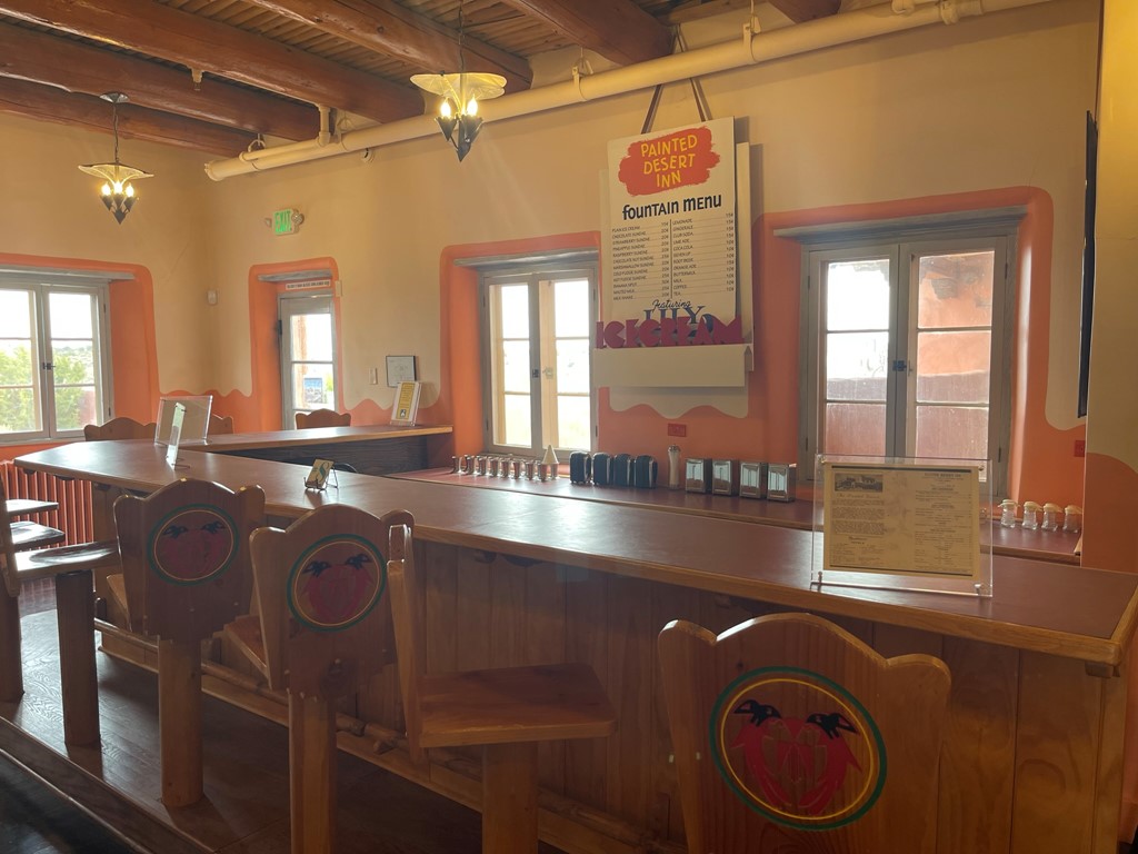
I walked past the Painted Desert Inn, a historic building that used to serve Route 66 travelers.

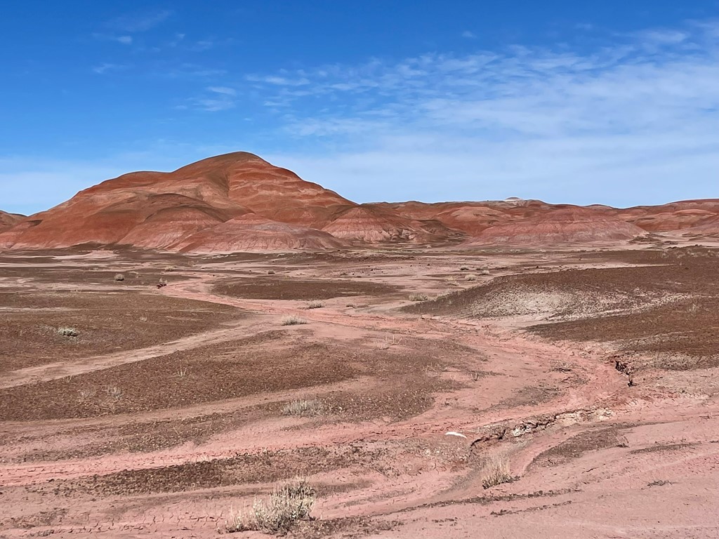
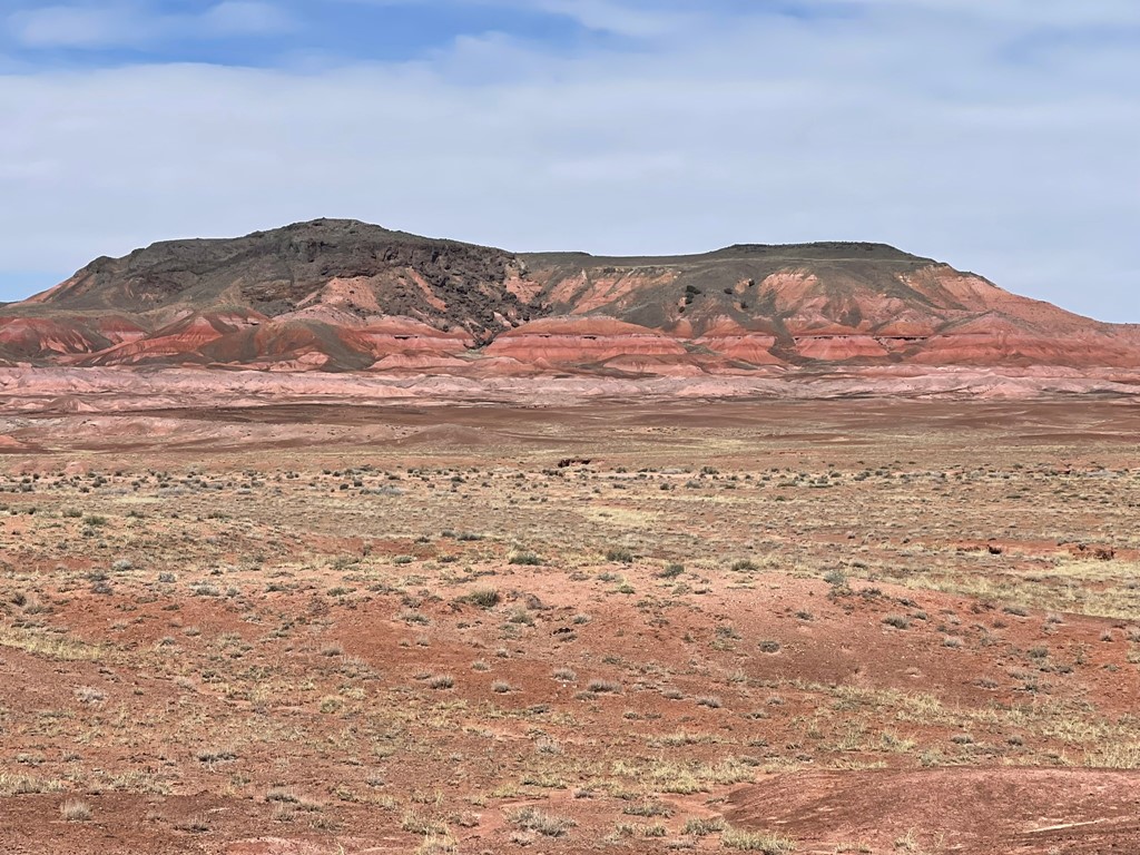
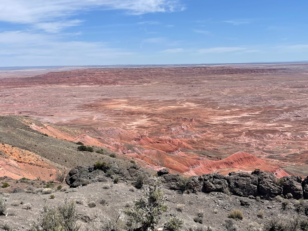
I could see Pilot Rock in the distance across the badlands.

There was a decent trail for the first half mile or so. It descended a couple hundred feet from the rim down into the Painted Desert. I saw 2 backpackers making their way back up to the parking lot.
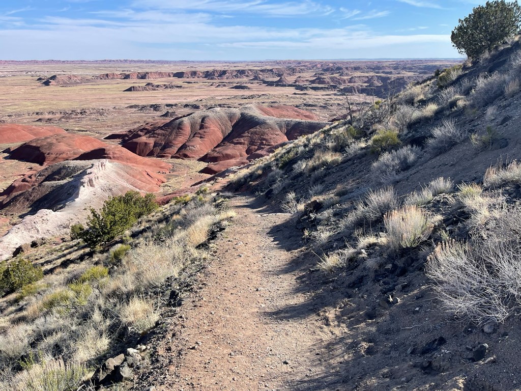
I reached the desert floor and set off to the north.

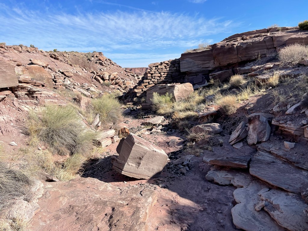
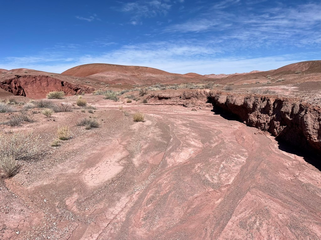
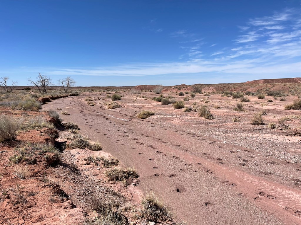
I descended a shallow wash and passed through some kind of manmade rock wall.
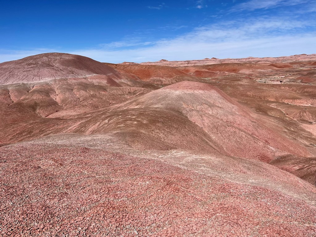
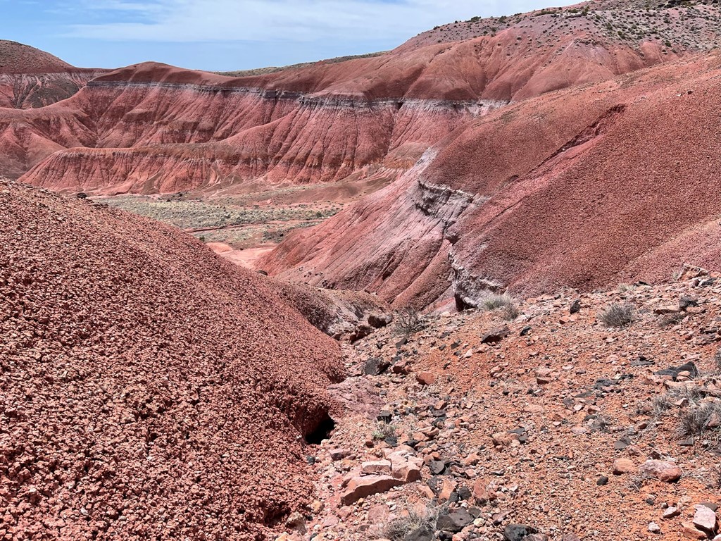
The scenery was very cool.

At 1 mile I saw a tent and then a short while later I saw 2 people walking around taking pictures. I wouldn’t see anyone else until I got close to the parking lot at the end of the day. I wished that I had decided to bring my backpacking gear. I could have simply hiked in a mile, spent the night, and then done the rest of the hike the next day with a daypack. I could have avoided sleeping at a truck stop and also would have been able to start before 8am. At 1.4 miles I crossed Lithodendron Wash.

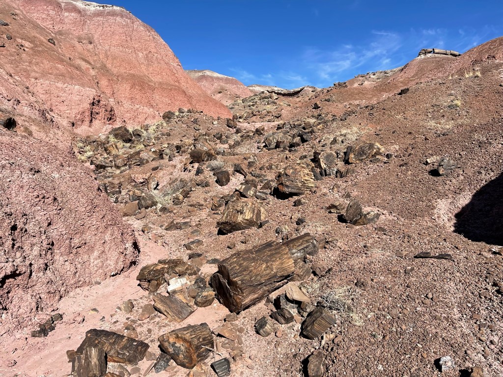
I then climbed up some small hills. There was a lot of petrified wood in this section.
I hiked on top of the hills and then went down the other side. The hills were very crumbly, so the steep parts were difficult. I could see Pilot Rock in the distance again.

The next couple miles involved flat, easy terrain as I proceeded north.
I went up and over another small set of hills.
I dropped into a wash at 4.5 miles as I veered northwest.
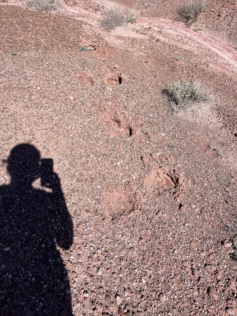
I noticed horse tracks and horse poop everywhere.
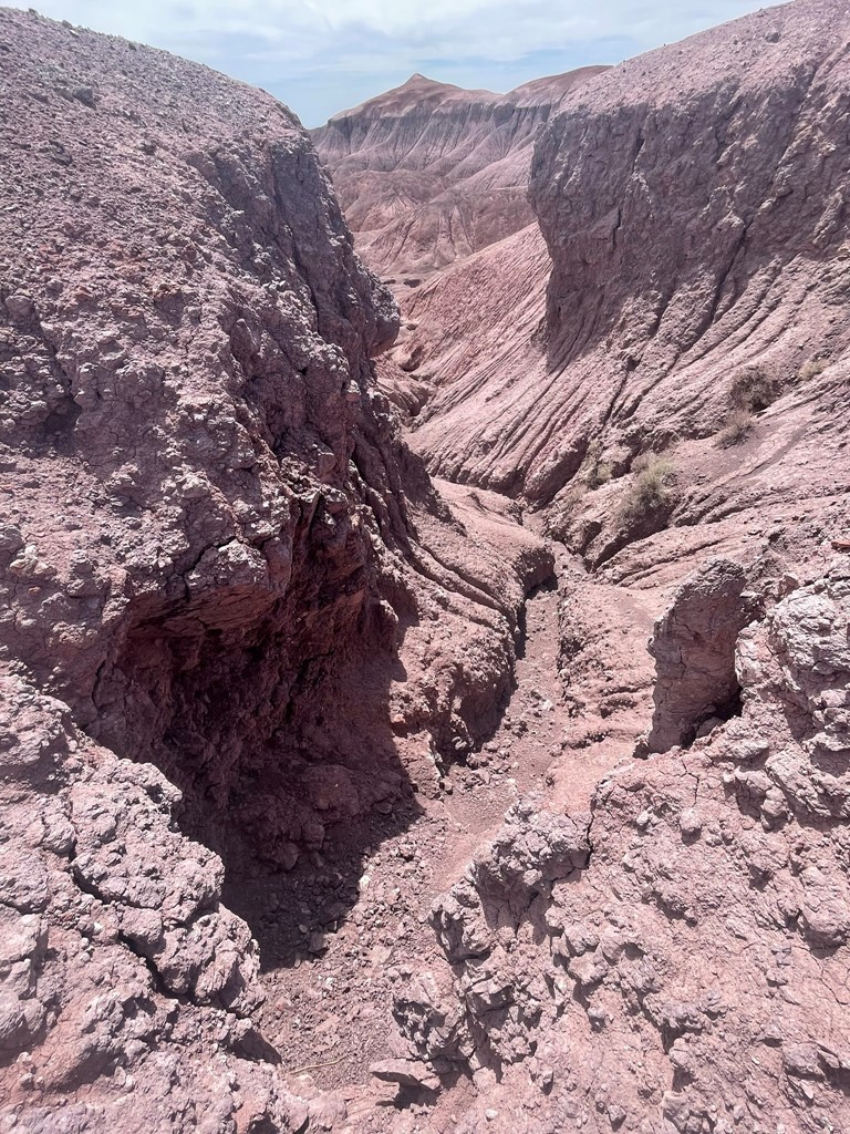
I entered another series of hills, this one much more rugged than the previous. It was a bit of a maze and I eventually had to climb out of a really steep gully. Once I did, I was treated with another excellent view of Pilot Rock.

I hiked on top of the hills for a short way and then reached open desert at 5.5 miles. From there, it was flat, easy hiking to the base of the small peak.
At 6.7 miles I crossed another large wash.
I soon reached the base of the peak.

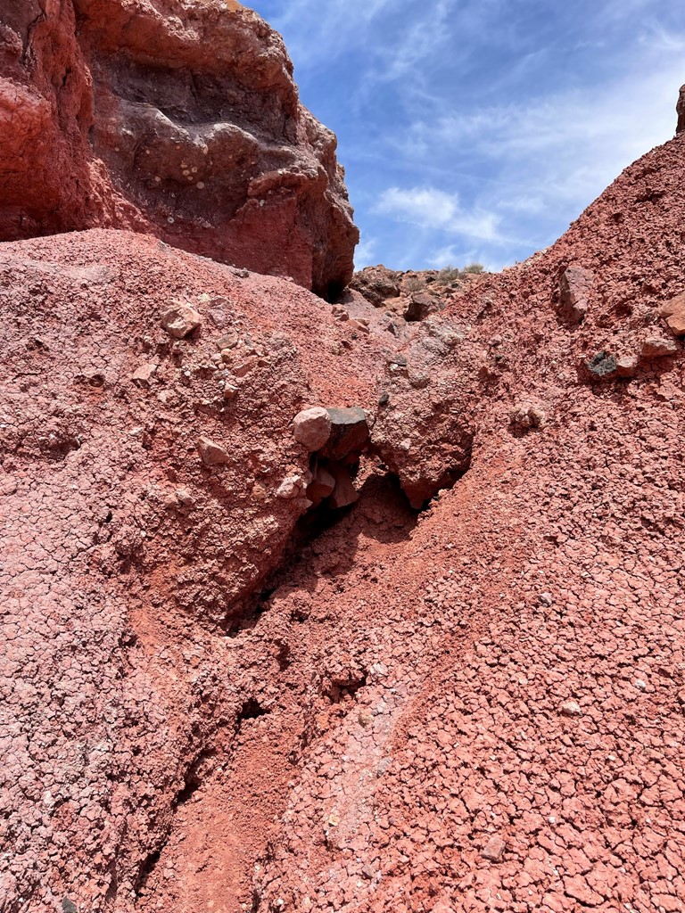
I approached the middle of the butte and then ascended a small gully to the northwest.
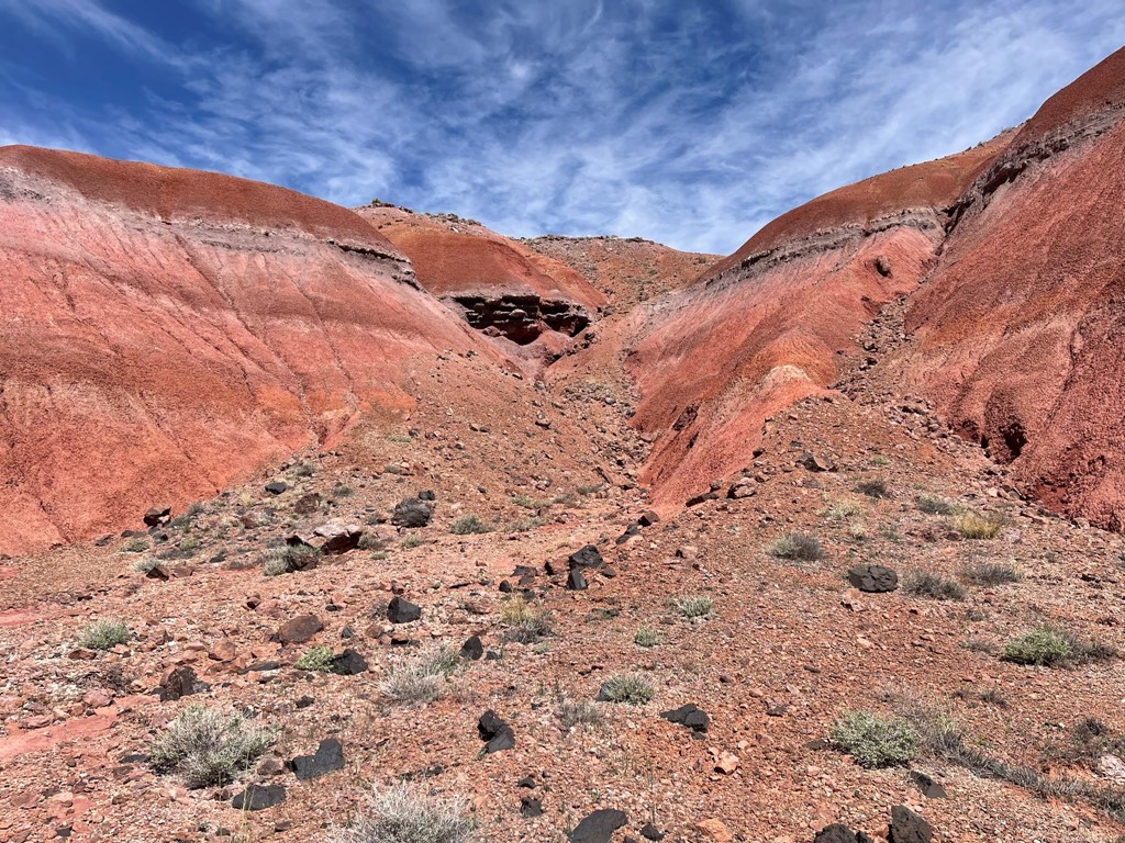
I had to make one difficult move that I would call class 3 due to how crumbly the rock was. It was completely unexposed and a relatively easy move though.
Once I reached the top of the gully, I walked west and then southwest up grassy slopes to the summit.

I reached the summit at 11:20am at 8.5 miles!

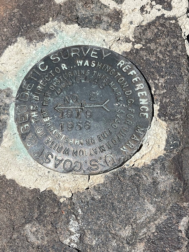
I did not locate a register, but I did find the “Douglas” benchmark and reference marker no. 2

I sat down and enjoyed the views for a while. The Painted Desert stretched for miles in every direction.
There were many unfamiliar buttes and mesas in every direction. To the west I could barely make out the white top of Humphreys Peak. You can barely see it left-center below.

I began the descent after a half hour break.
About halfway back I had some trouble finding the correct gully to descend into the badlands, but I eventually figured it out. I must say that GPS was crucial on this hike due to the convoluted nature of the badlands.
A thin cloud layer developed, and the wind really picked up as the day wore on. As I neared the Painted Desert Inn again, the wind was absolutely howling. It was an effort to keep dust from getting in my eyes.
I reached the car again at 3:06pm. Stats for this hike were 17.3 miles, 1506 feet elevation gain, and 6:52:55 total time.


I spent some time exploring the Painted Desert Inn which I thought was really cool. It’s a historic building with a lot of interesting history.
Once I was done, I packed up and made the 2 hour drive west to Flagstaff. I was planning to climb Kendrick Peak the following day, so I spent the night at the trailhead in Kaibab National Forest.
