Kendrick Peak
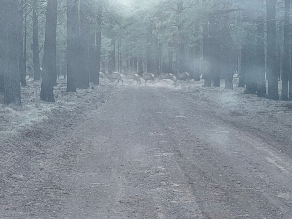
Kendrick Peak is a 10418 foot peak located northwest of Flagstaff, Arizona. It has over 2000 feet of prominence and is the highpoint of Kaibab National Forest. I had driven to the trailhead from Petrified Forest the night before. From US Highway 180 north of Flagstaff, I took an unnamed forest road to Road 171. I went a few miles west on 171 then turned right onto Road 191. The trailhead was a half mile or so north on 191. I initially tried to follow Google Maps directions but found Forest Road 245 to be closed which is why I ended up on the unnamed road just a bit north. I also encountered a locked gate on 171 but was able to drive around it by following tire tracks to the right side. I think the locked gates were just seasonal – there were plenty of other folks driving around back there as well. Just beyond the locked gate on 171 I saw a herd of like 30 elk run across the road! I was pretty excited since I don’t think we have elk in California (at least in Socal and the Eastern Sierra). They just kept coming and coming. The picture below isn’t great since it was taken through my dirty windshield, but it was quite an impressive sight!
After a good night of sleep, I began hiking at 5:41am from 7727 feet above sea level.

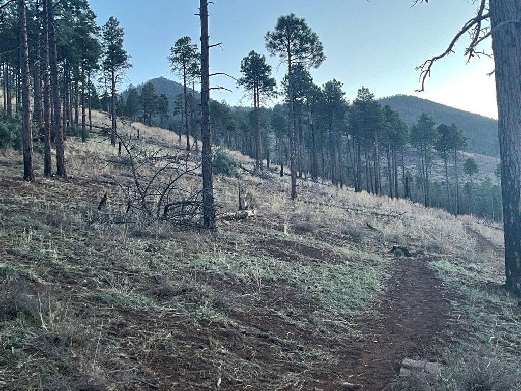
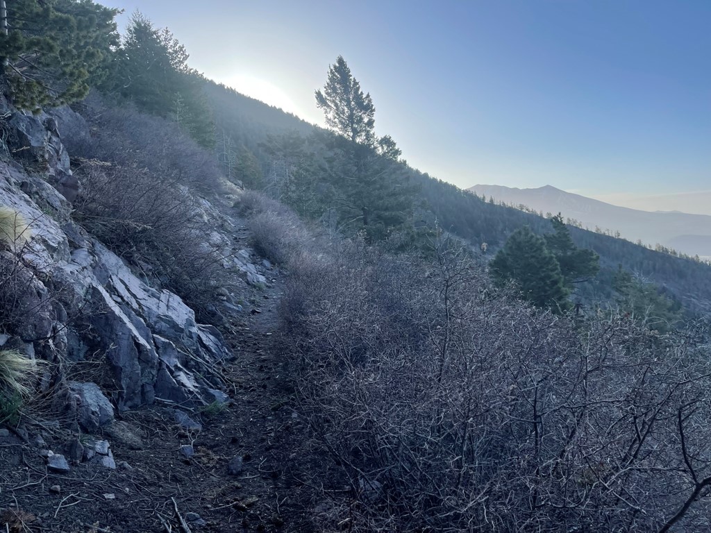
I hiked northeast on the Kendrick Trail in the early morning light. There are a few trails that go to the summit, but I chose the Kendrick Trail since it appeared to be the easiest to reach (and the most popular).

I got my first good look at Kendrick Peak (left) as the sun started to rise. I could even see the fire lookout on the summit.
It was a little chilly in the early morning, but I was comfortable in a fleece jacket.
The trail turned north and began to make switchbacks up the mountain.
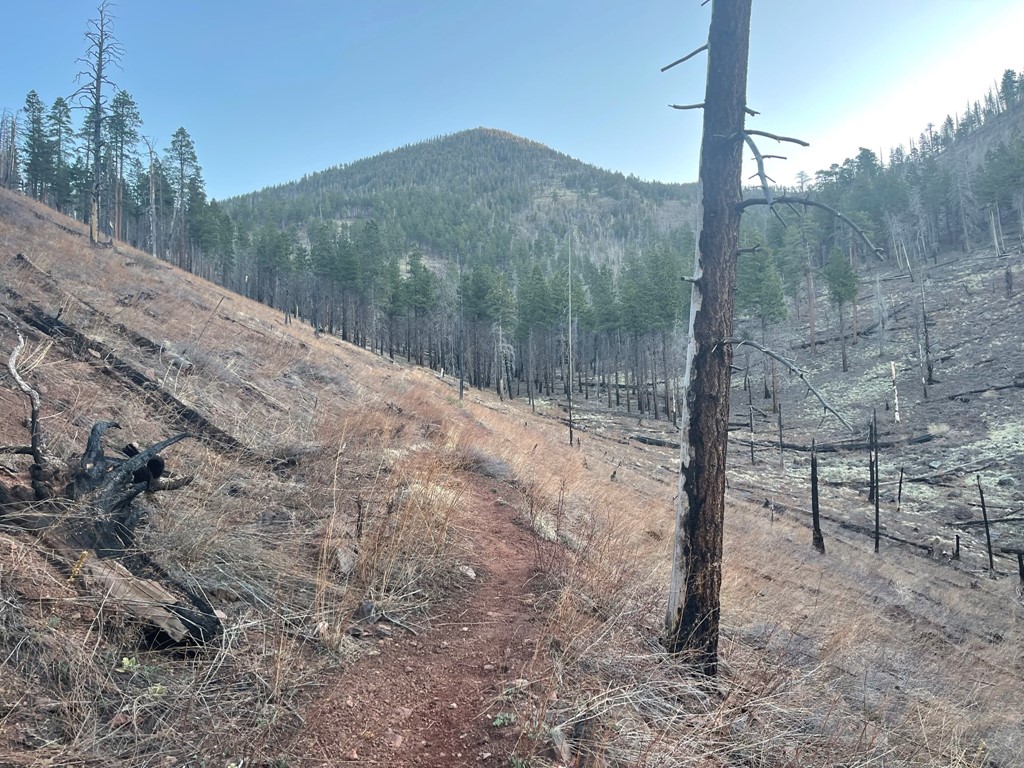
After a few switchbacks, the trail turned northeast again. I could see Humphreys Peak and Agassiz Peak in the distance.
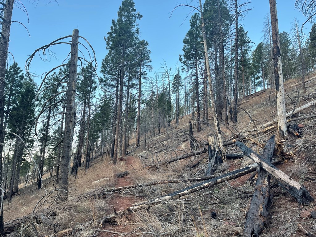
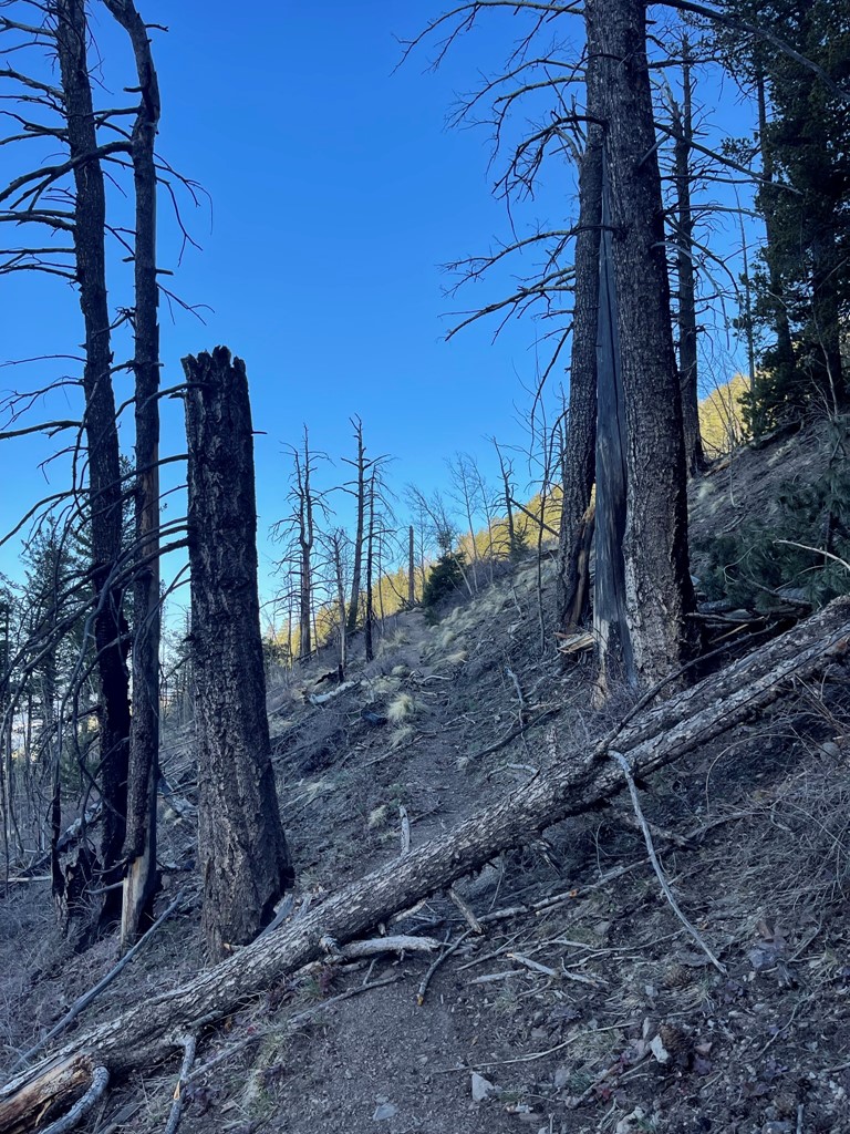
The trail maintained a steady grade from start to finish. There were some burned areas along the trail, as well as some deadfall to climb over.
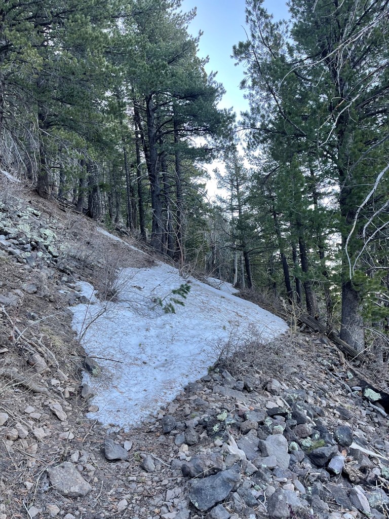
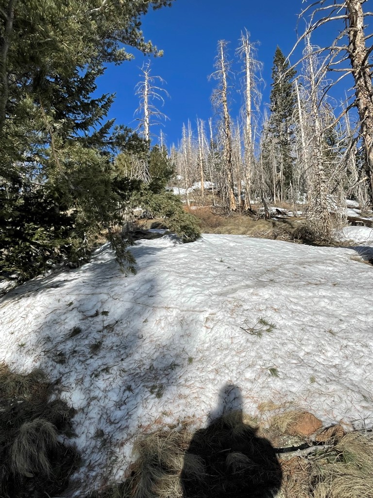
I began to encounter snow patches along the trail around 9400 feet. I was ascending the south side of the mountain so there was very little snow left.
The fire lookout appeared closer as the trail turned to the west.

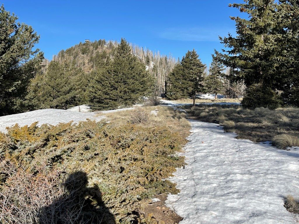
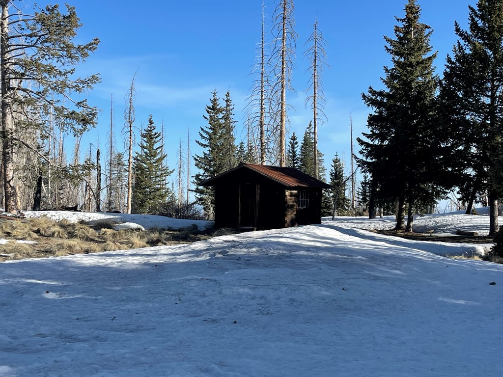
I reached a flat area around 10100 feet.
There was an old cabin that was once used by fire lookouts.
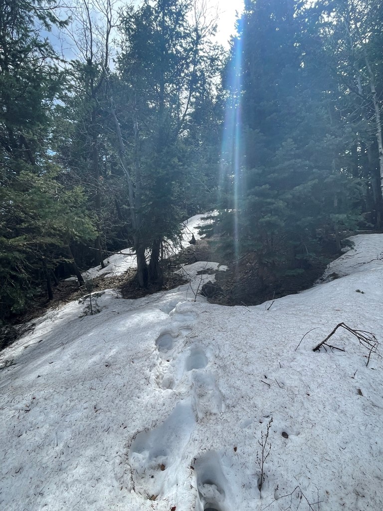
I made my way up the last portion to the summit. There were some large snowdrifts, so the trail was hard to follow. I noticed some fresh footprints in the snow.
I reached the summit at 7:52am at 4.6 miles!
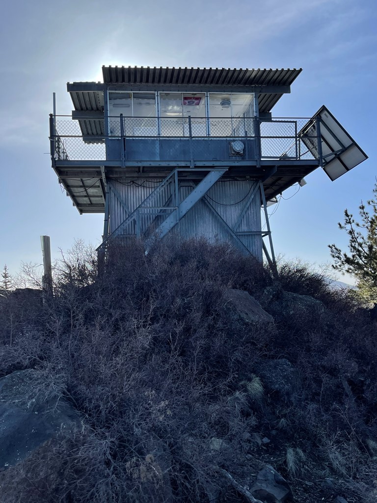
It was not yet fire season, so no one was manning the lookout. I had a great view to the east of the 2 highest mountains in Arizona – Humphreys Peak (left) and Agassiz Peak (right). The ski runs on Agassiz Peak were plainly visible.

To the southwest I could see Bill Williams Mountain (left background) and Sitgreaves Peak (right). I planned to climb Bill Williams Mountain in the afternoon.

It was kind of hazy, but I could even see all the way north to the Grand Canyon. I could just make out the north rim on the opposite side of the canyon.

I began the descent after a 20 minute break.

On the way down a spotted a single deer and then saw about 6 deer a short while later.

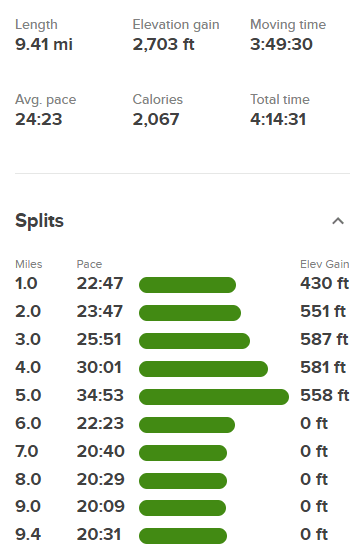
I saw a few hikers and runner with his dog as I neared the trailhead. I reached the car again at 9:56am. Stats for this hike were 9.41 miles, 2703 feet elevation gain, and 4:14:31 total time.

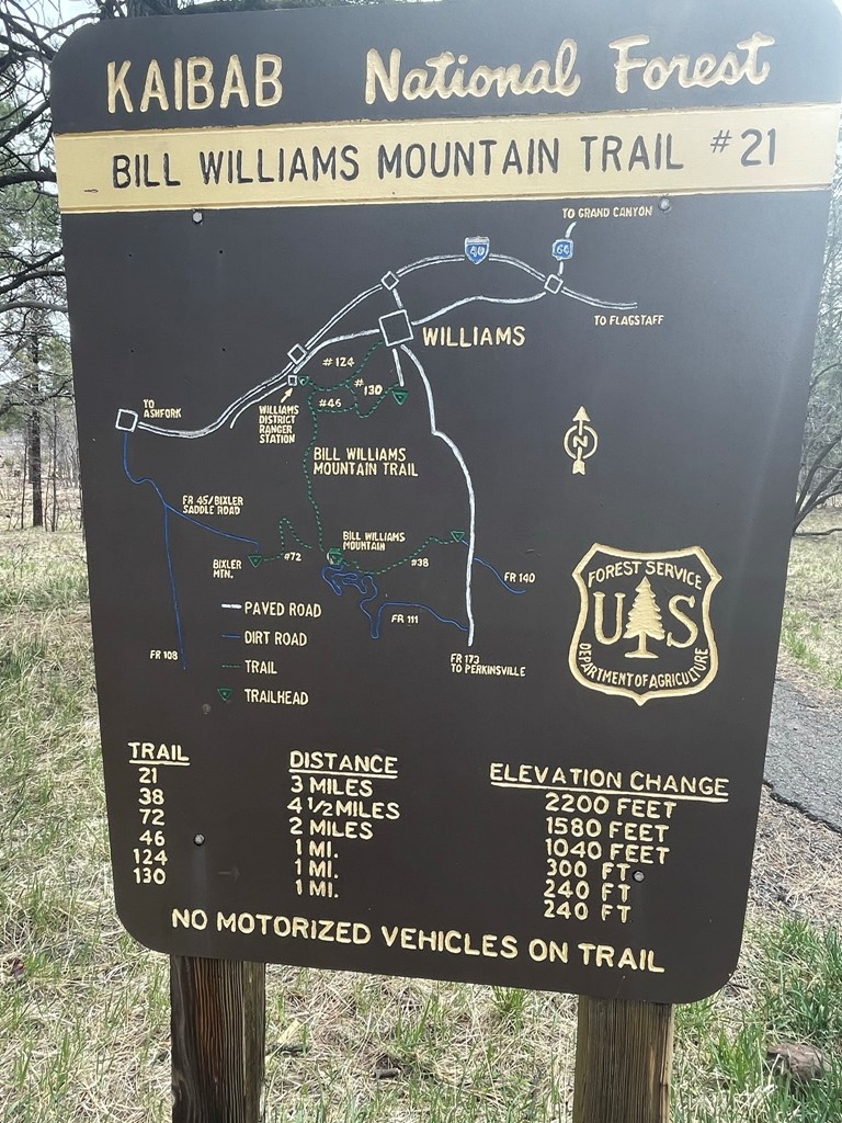
Bill Williams Mountain
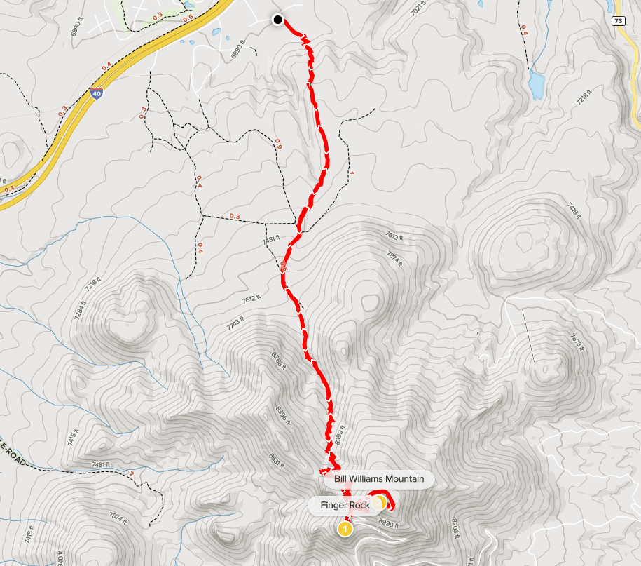
Next up was Bill Williams Mountain, a 9256 foot peak located about 30 miles west of Flagstaff near the town of Williams. Like Kendrick Peak, Bill Williams Mountain has over 2000 feet of prominence which made it a worthy objective for the afternoon. It took me about an hour to make the drive.. The trailhead, which is located just south of I-40 near a USFS ranger station, is called the Clover Springs Loop Trail on Google Maps. I began hiking at 11:50am from 6894 feet above sea level.
I followed the well maintained trail as it led south from the ranger station. I saw a few other hikers on the trail.

The trail initially gained some elevation and then flattened out again. At 0.6 mile I reached a junction with the Clover Springs Trail and continued straight.
I passed a logging operation sign shortly after. At 1.4 miles I crossed a dirt road.

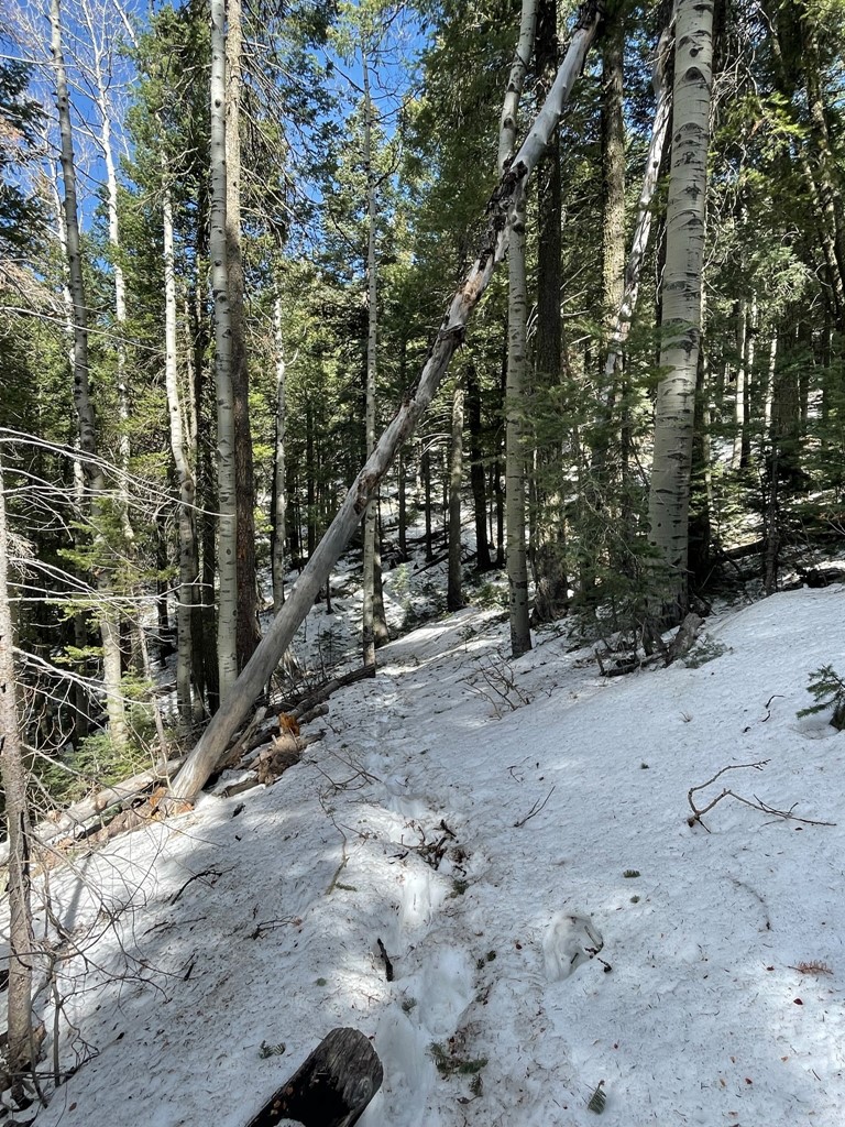
I began to see some snow patches around 7800 feet. Since I was ascending the north side of the mountain, I expected to encounter much more snow than on Kendrick despite the lower elevation.
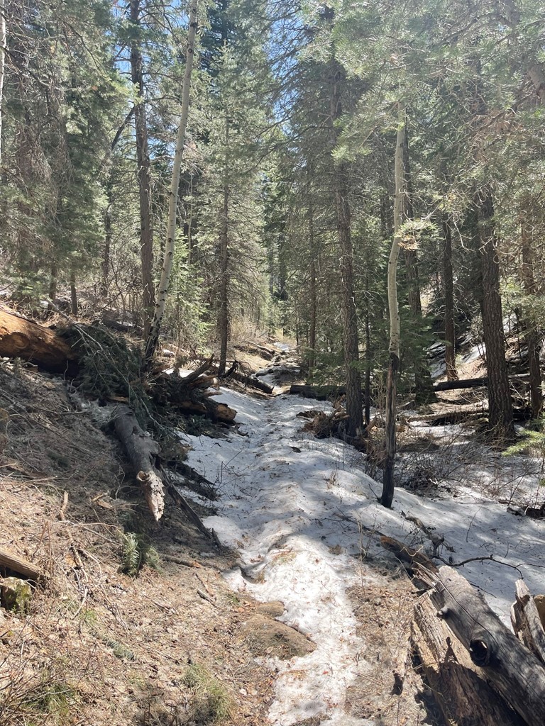
By 8100 feet the trail was completely covered in snow.
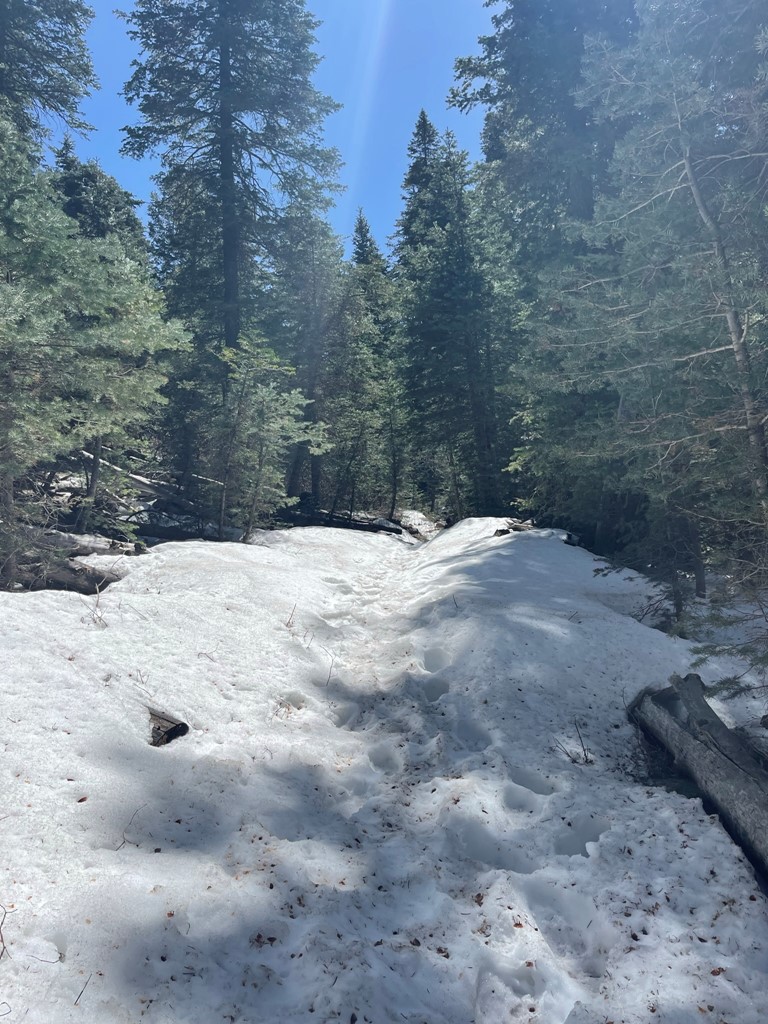
The trail continued south and got steeper as I neared the top. I was able to follow boot tracks through the snow, so it wasn’t too much of a slog. It definitely did slow me down though.

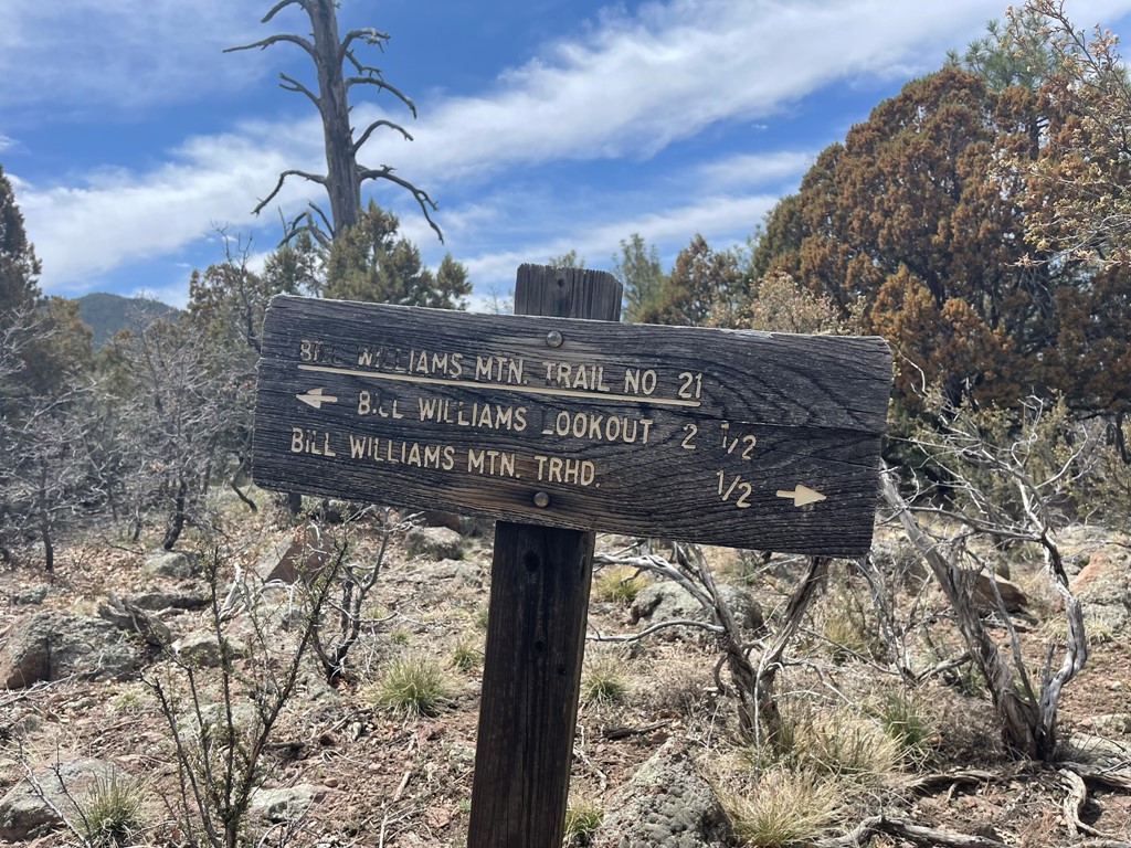
At 3.1 miles I reached a junction with the Bixler Trail and went left.

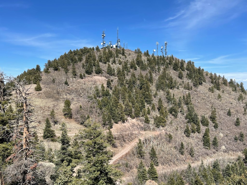
I ran into a forest ranger with his dog shortly after the junction. We chatted briefly about the snow conditions before continuing. The trail made a couple switchbacks and then I reached the road at 3.5 miles. There are comm towers plus another fire lookout on this peak, so a road ascends to the summit from the other side.

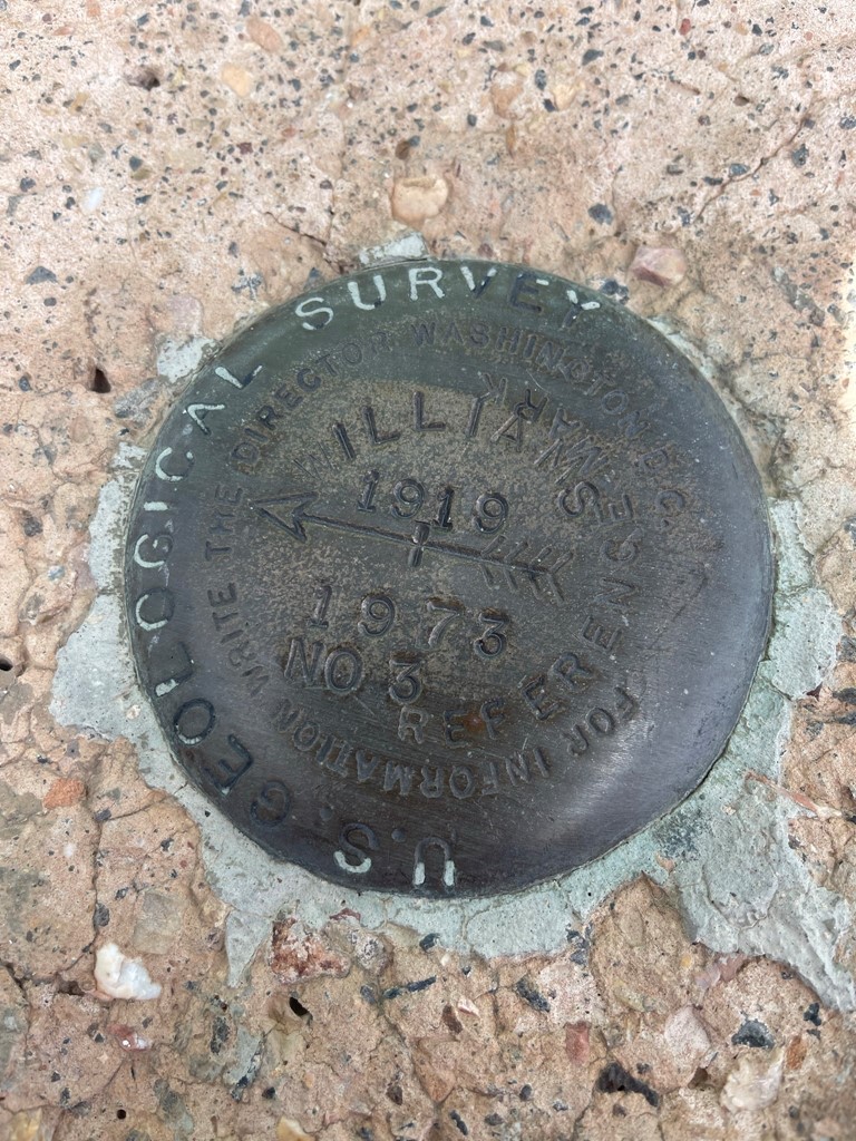
I hiked up the road as it curved around the north side of the peak. I decided to cut one of the switchbacks which was a mistake because I ran into some thorny plants. I made it through that obstacle and reached the summit at 1:56pm at 4.1 miles! I did not locate a register, but I did find reference marker no. 3
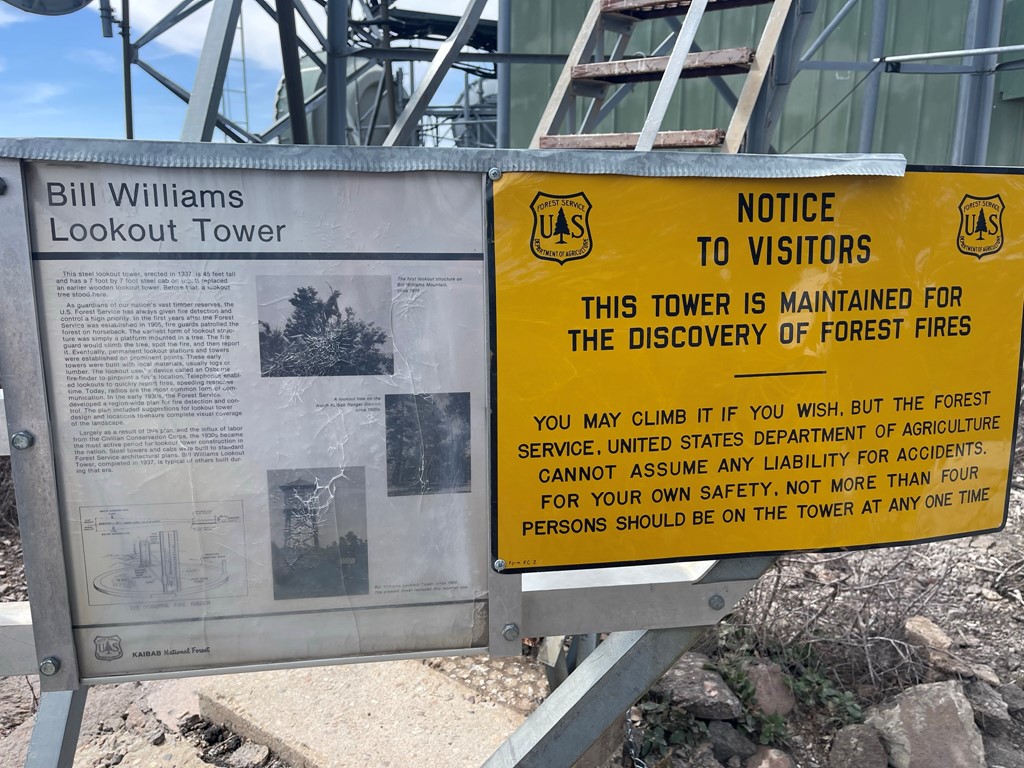
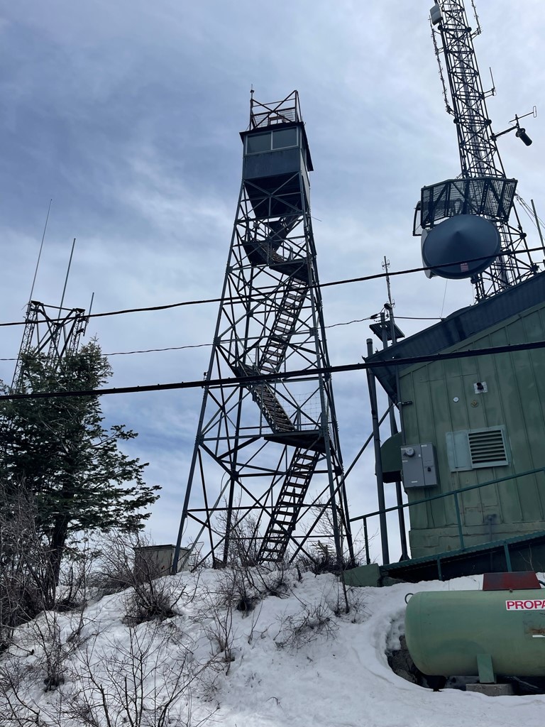
The summit area was ugly due to all the comm equipment. The fire lookout was locked but I did climb up the steps to just below the viewing platform.
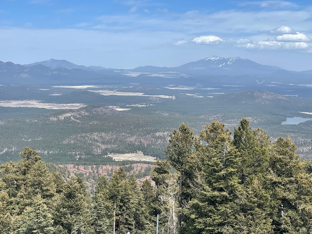
I had a nice view of Kendrick Peak (left) and Humphreys and Agassiz Peaks (right) to the east.
To the southwest I could see a small set of pinnacles known as Finger Rock. I decided to hike over to Finger Rock before heading down.

I hiked back down to where the trail meets the road. I found some footprints in the snow heading south to Finger Rock.
I reached a set of pinnacles and found the tallest one to be unclimbable. I was a bit discouraged but then I looked at the map and found that the summit was actually a little further.
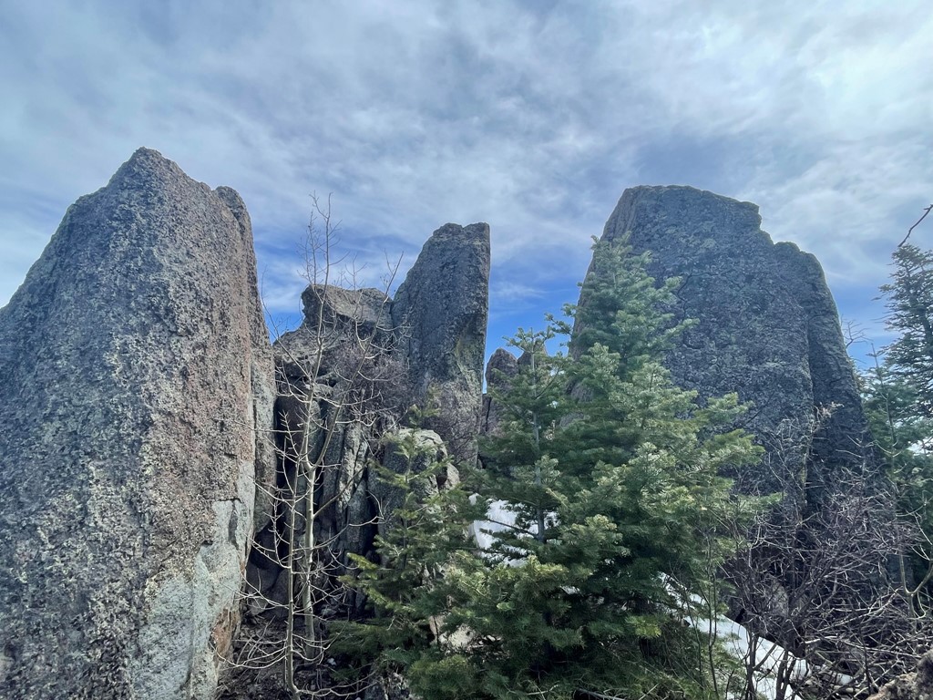
I reached the next set of pinnacles at 4.9 miles and found the 2 highest rocks to both be easily climbable. The highest rock from the first set appeared to be a similar height so it was difficult to tell which one was the true summit.
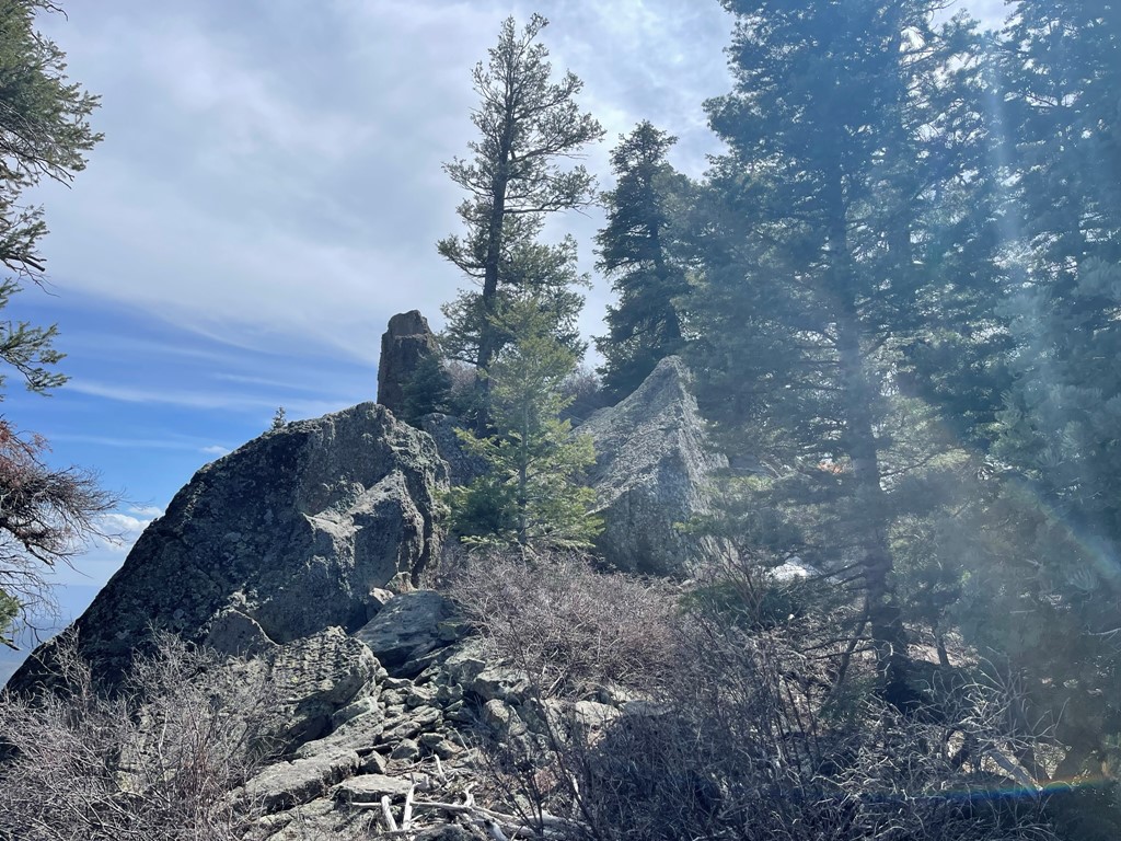
Looking back on Bill Williams Mountain:
I took a short break and then began the descent. Descending through the slushy snow was rather tedious. I saw a runner near the top.
Once I was below the snow, I made good time to the trailhead. I reached the car at 4:27pm. Stats for this hike were 8.57 miles. 2434 feet elevation gain, and 4:35:54 total time.

I was planning to climb Agassiz Peak (among others) the next day, so I drove back to Flagstaff and spent a very cold night at 9000 feet at the Arizona Snowbowl Ski Resort.
