Old Woman Mountain
The Old Woman Mountains are a small desert range in eastern San Bernardino County just south of Mojave National Preserve and I-40. The highpoint of the range (5325 feet) is on the Sierra Club Desert Peaks Section List as well as Andy Zdon’s List of Desert Summits. Old Woman Mountain would be the primary target on day 1 of another short weekend in the desert. It was late March so I knew desert season would be ending in just a few weeks. I left Friday night after work and drove as far as the Sheephole Valley Wilderness east of Twentynine Palms. I parked underneath the same radio tower that I had parked at when I climbed Sheephole Mountain the previous winter.
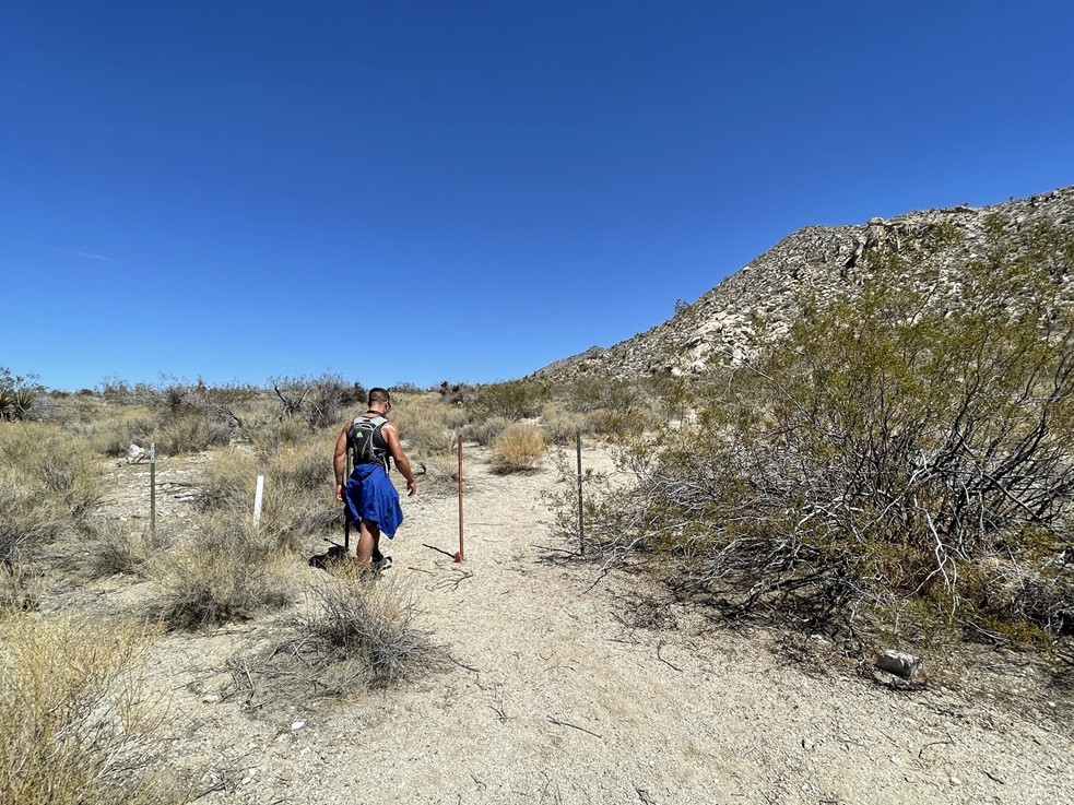
I woke up early the next day to make the rest of the drive to the trailhead. I drove to Amboy where I turned east onto the famous Highway 66. This section of Highway 66, referred to as the National Trails Highway, has mostly fallen into disrepair since it was bypassed by Interstate 40 to the north many years ago. The entire road is actually closed east of Kelbaker Road due to multiple bridge failures. As many peakbaggers have before me, I ignored the closures and drove around the barricades. The bridge failures were easy to go around since there are graded dirt roads that bypass each one of them. I went around a total of 4 bridge failures before turning southeast onto Danby Road. From there I drove a few miles, crossing a railroad track and a pipeline road, before reaching the gated wilderness boundary. Danby Road was in excellent shape and likely passable for a sedan. A few minutes later, my new hiking buddy Stav arrived in his jeep. Stav and I are both working on the DPS List and had been trying to plan a hike together for a few months. We finally found a weekend that works for both of us, and we decided on doing Old Woman since it is one of the few DPS peaks we both still needed that was also a reasonable driving distance for both of us. We began hiking at 7am from 2490 feet above sea level.

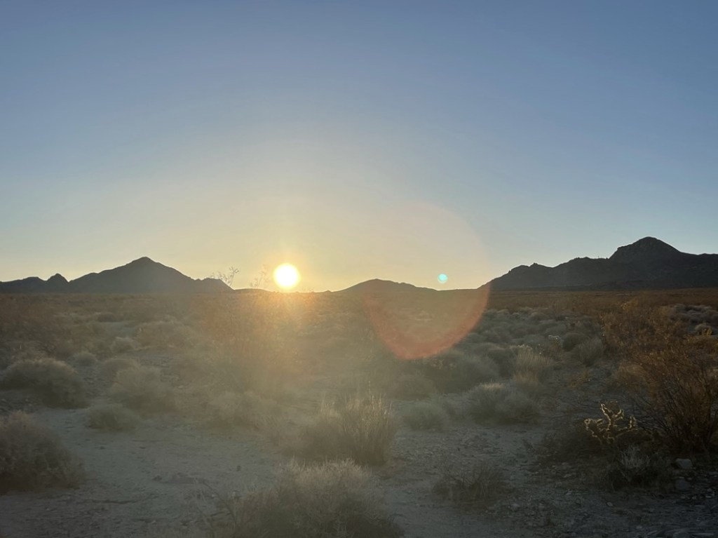
The sun began to rise in the east just as we got started.
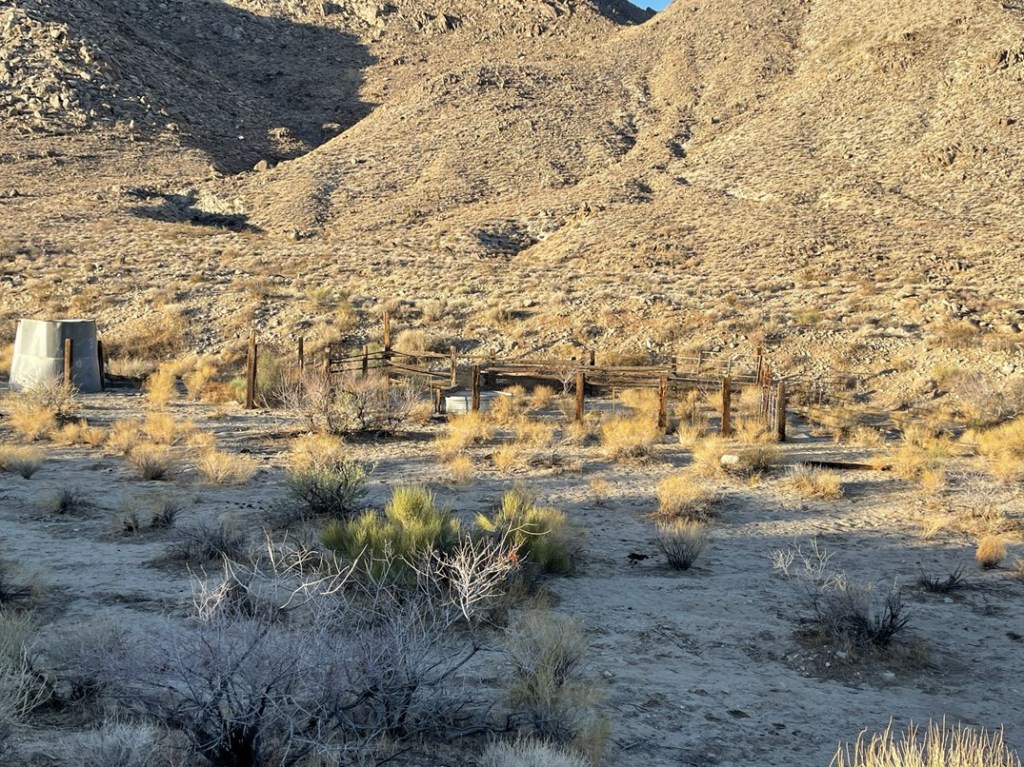
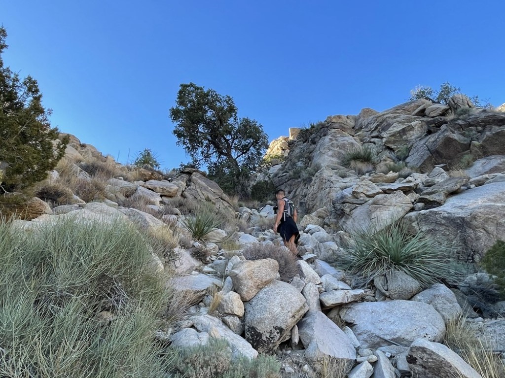
The route began by following the old road past the wilderness boundary towards the small mountain range. At 0.9 mile we saw an old corral off to the right side. We also observed a stone structure a bit further in the distance.
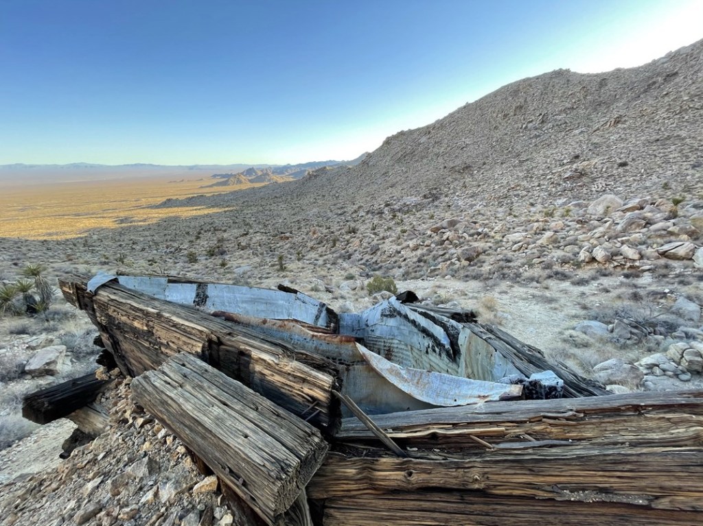
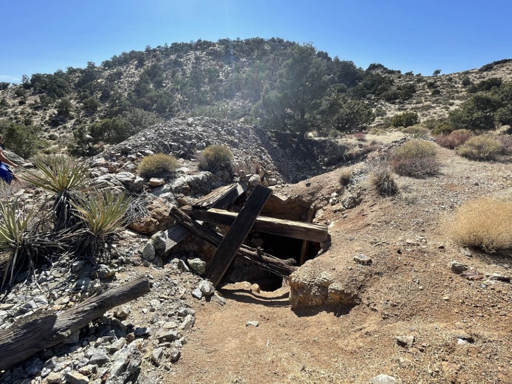
At 1.7 miles we reached the Florence Mine. We took a few pictures before moving on.

It always amazes me how these structures are still standing after not being used for decades.
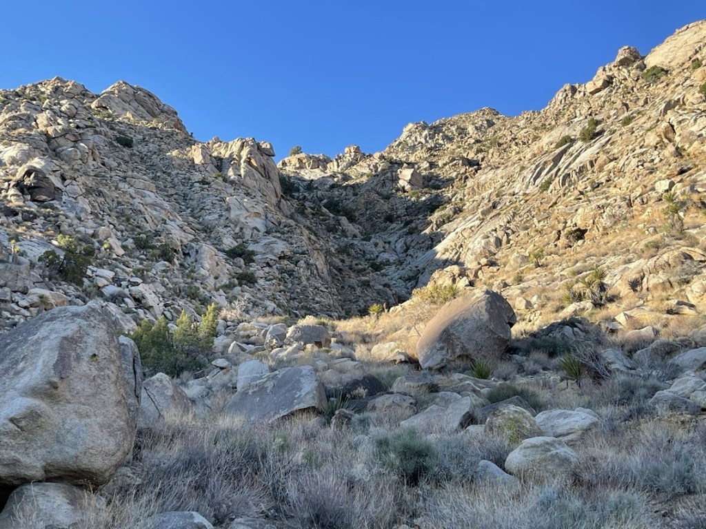
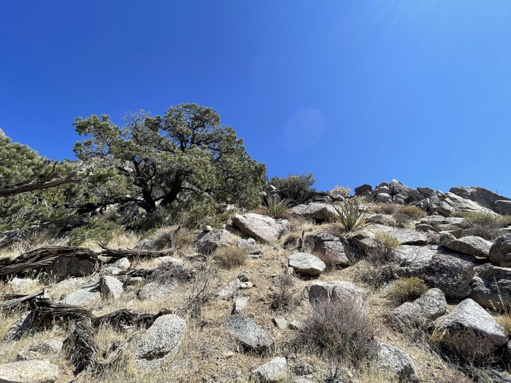
Once we were past the mine, the road ended so it was pretty much straight up the rest of the way. We followed the DPS instructions and began ascending a gully.
We found a mine shaft in one of the hillsides.

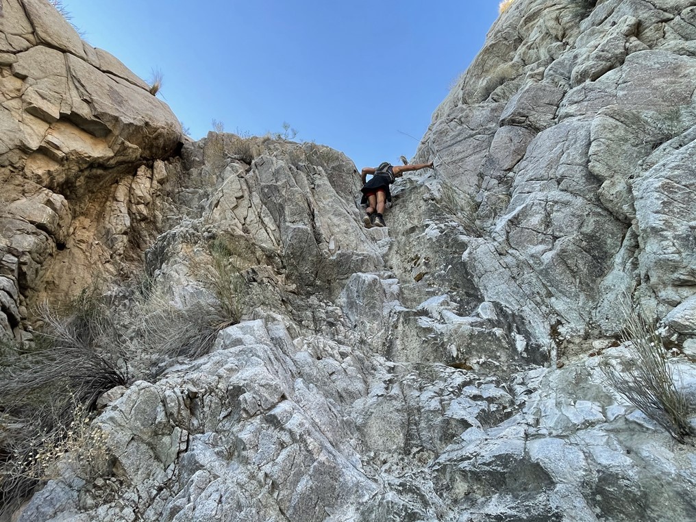
We encountered one class 3 section in the lower part of the gully. On the descent, we discovered that this section can be bypassed with a much easier class 2 route on the climbers left.
We reached a minor saddle at the top of the gully and then had to do some side-hilling into another gully.
We reached the top of the 2nd gully and could finally see the summit pretty close by. The wind was much stronger once we were on top of the ridge.
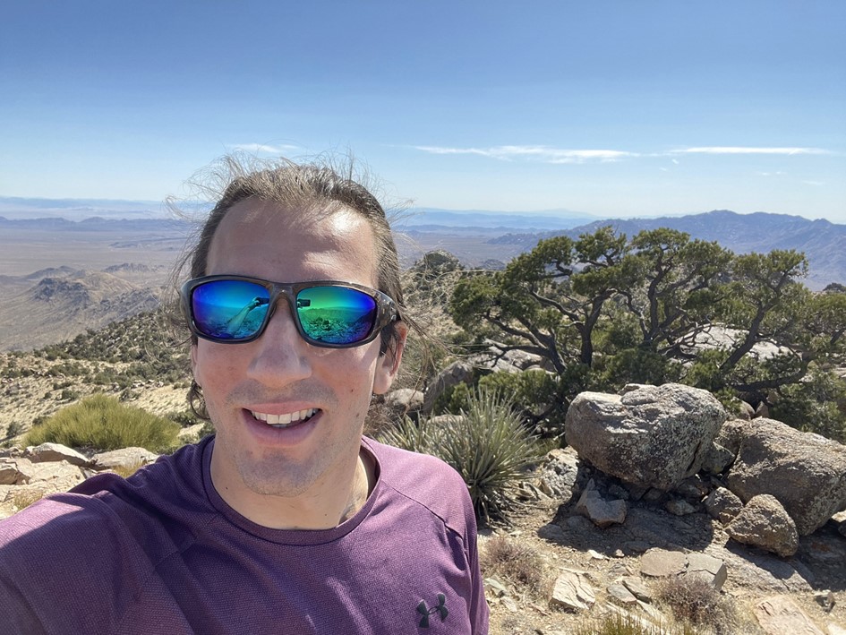
We followed the ridge the rest of the way to the top. We reached the summit at 8:52am at 3.2 miles!
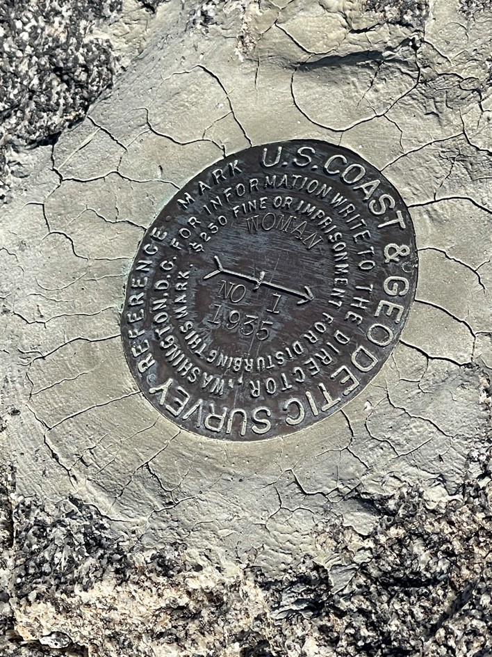
We signed the register which was placed in 1998. The previous ascent was March 13th. I located the “Woman” reference marker no. 1, but did not find any other markers.
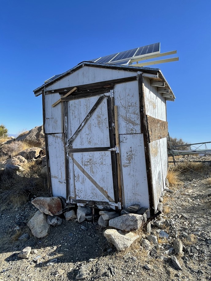
There was also an old building on the summit with solar panels on top. I tried the door, but it wouldn’t budge. We wondered what it had been used for.
With over 2000 feet of prominence, Old Woman Mountain commanded tremendous views. Far to the west we could see San Jacinto.
And San Gorgonio:
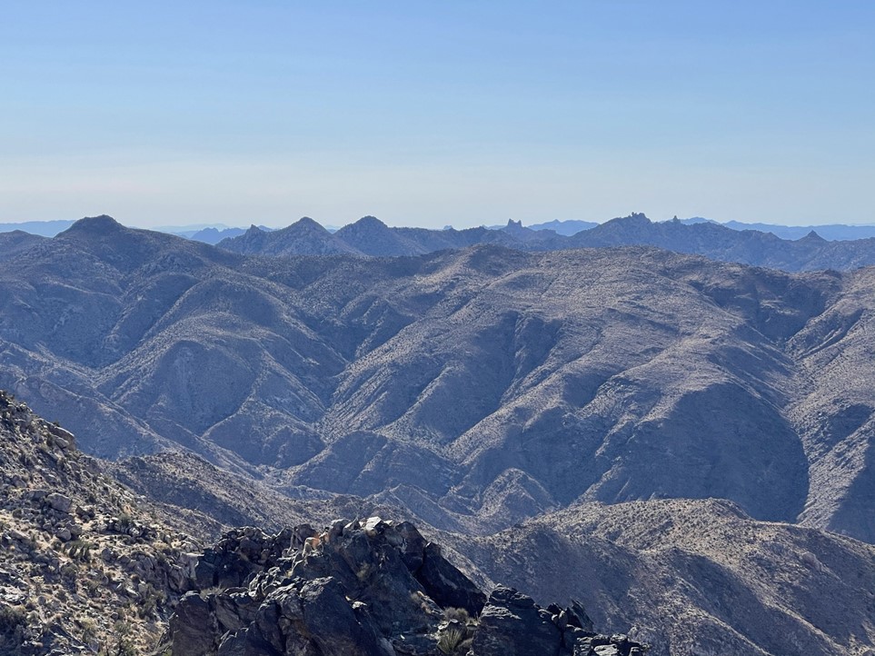
To the northwest we could see Providence Benchmark (left center) and Edgar Peak (right center) in the southern part of Mojave National Preserve.
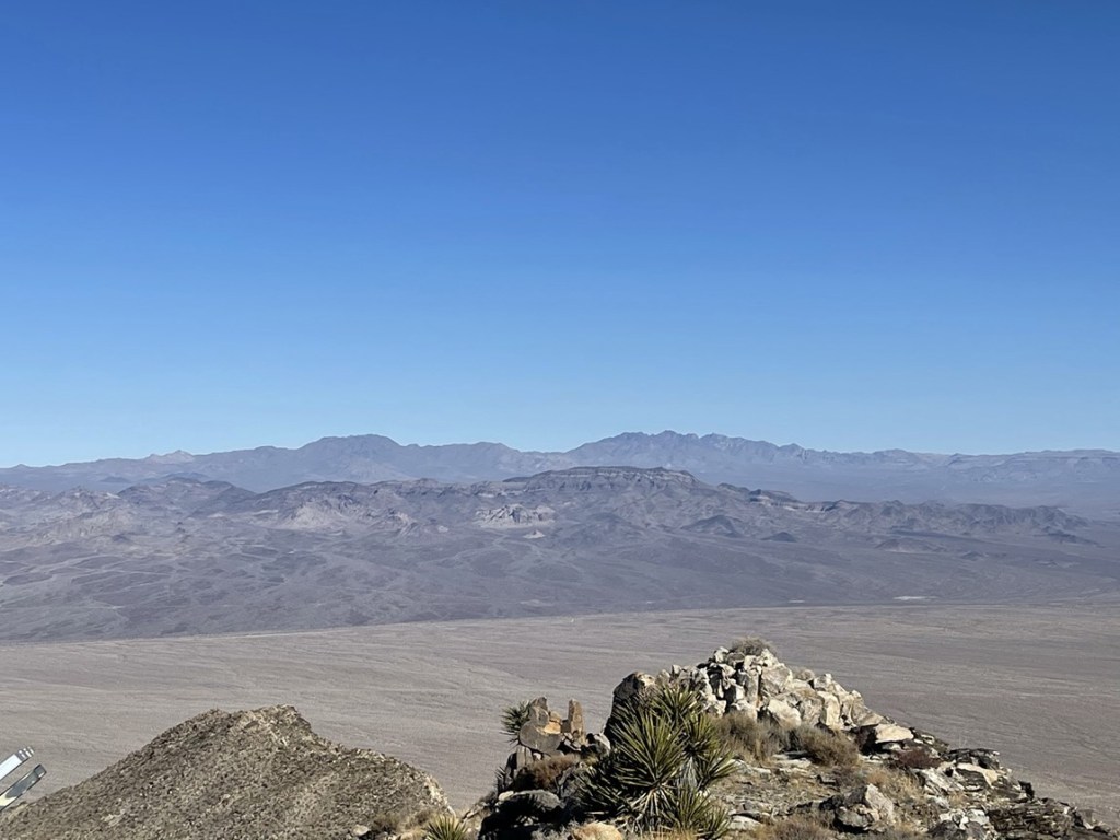
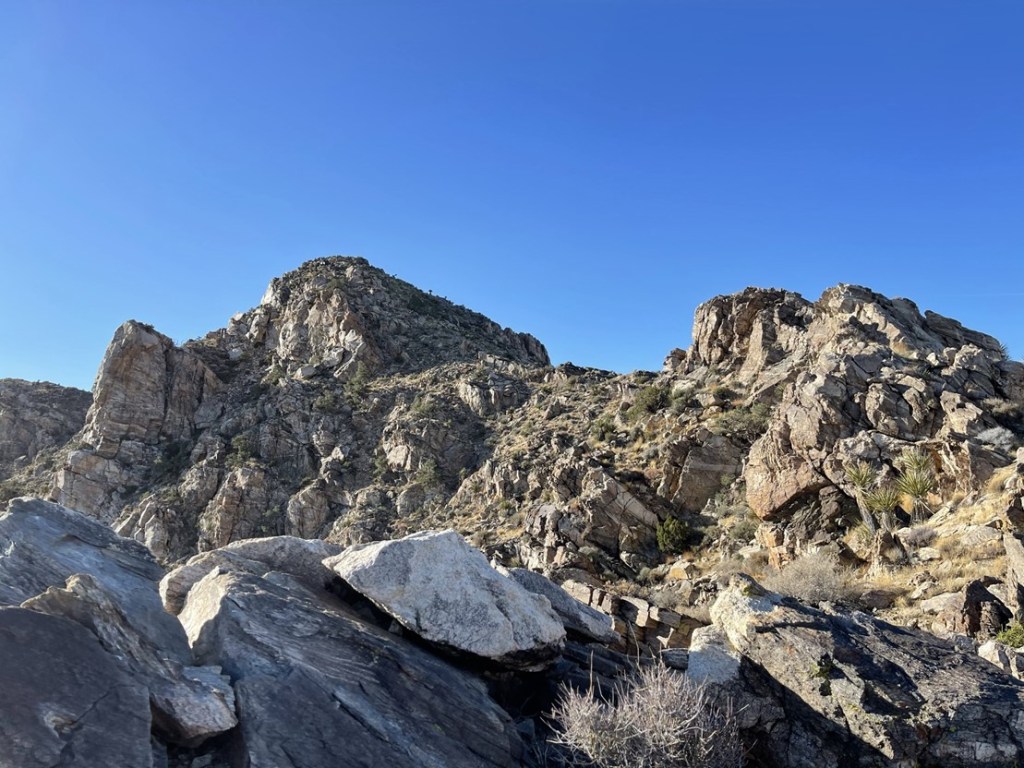
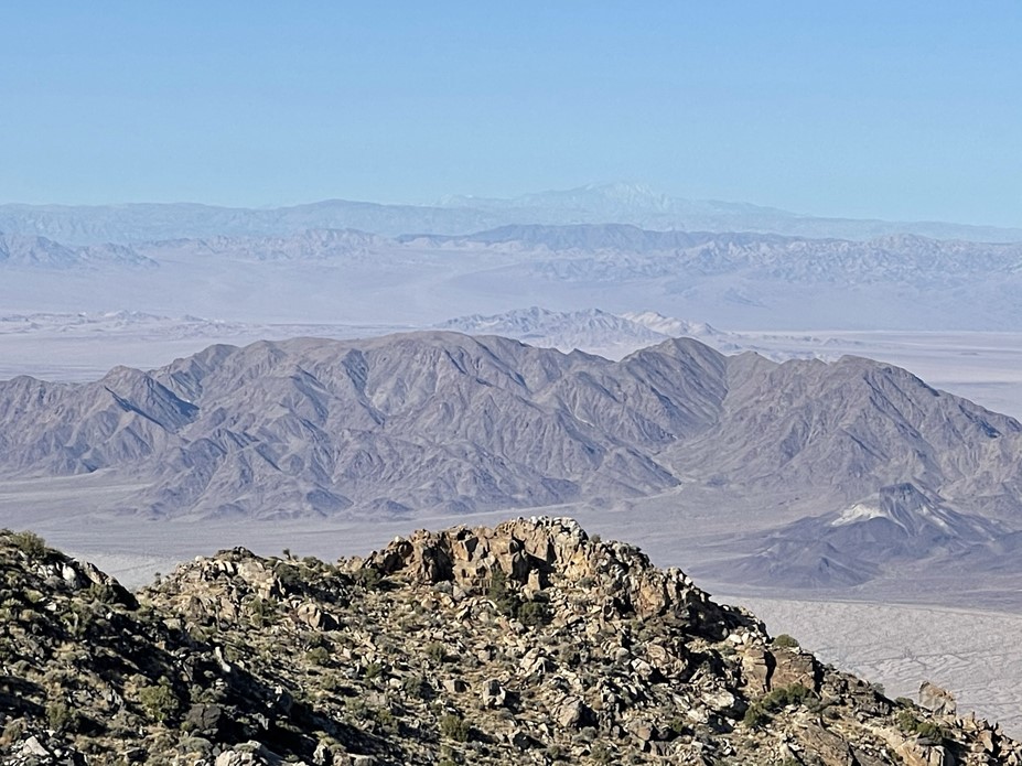
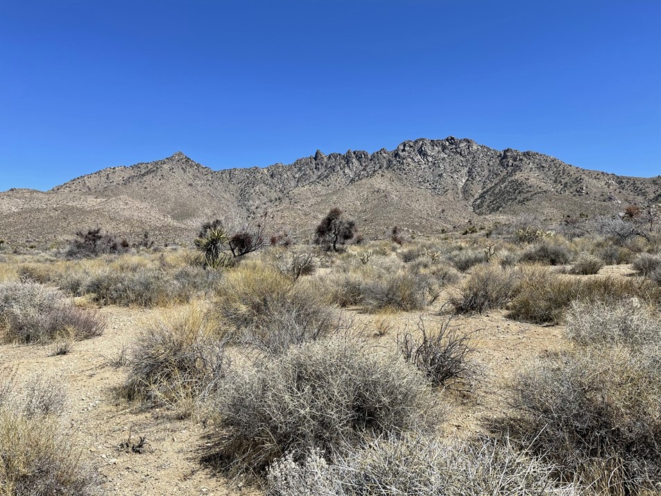
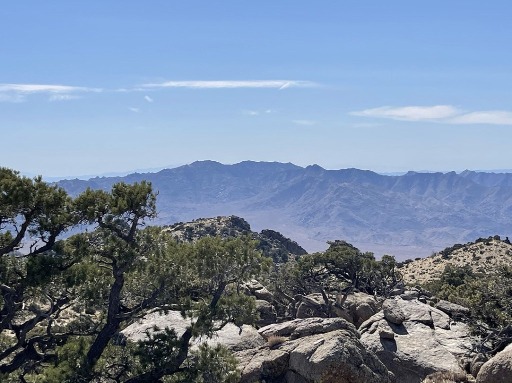
To the south we could see the rest of the Old Woman Mountains.
After a nice break, we began descending the ridge back the way we came.
We followed the same route to get back down. We wandered a little bit while side-hilling between the 2 gullies.
We eventually reached the mine again and then made the short road walk back to our cars. We reached the trailhead once more at 10:55am. This hike totaled 6.44 miles, 2815 feet elevation gain, and 3:53:43 total time.


Providence Benchmark
It was still very early in the day so we discussed what our next move would be. We had previously discussed doing nearby Ship Benchmark or Clipper Mountain. We decided Ship would be too short and Clipper sounded like it had a pretty rough drive in. We instead opted to do Providence Benchmark (6611 feet), which is 2k prominence peak in the Providence Mountains of Mojave National Preserve. We drove back to Route 66 and went east to Essex Road. We bypassed a few more bridge failures in the process. We then drove north on Essex Road to I-40. We passed a Highway Patrol SUV on Essex Road which concerned us a little since we were driving on a closed road but thankfully, we weren’t stopped. We drove west on I-40 and then north on Kelbaker Road. We entered Mojave National Preserve on Kelbaker and then drove about a mile east on a dirt road where we parked. This road was in decent shape, but I’d recommend high clearance for one portion that crosses a wash. We began this hike at 12:31pm from 3814 feet above sea level.

We followed the road for about 0.3 miles to the wilderness boundary. We realized we could have driven up to this point, but we weren’t too upset about adding <1 mile roundtrip to the hike.
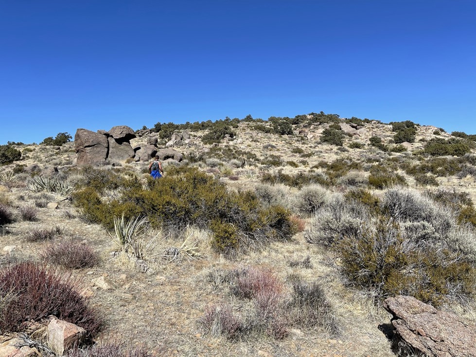
We hiked north across open desert. We had to go up and over a few undulations in the terrain. We eventually rounded the corner of a ridge and the peak came into view in front of us to the east. We realized later that the slope flattens out near the top, so we weren’t actually looking at the true summit from down below.
We proceeded across the desert towards the mountain. We were able to follow a use trail here and there. We also noticed lots of burro poop, so we were on the lookout for any nearby. We soon reached the toe of a ridge that we planned to ascend.
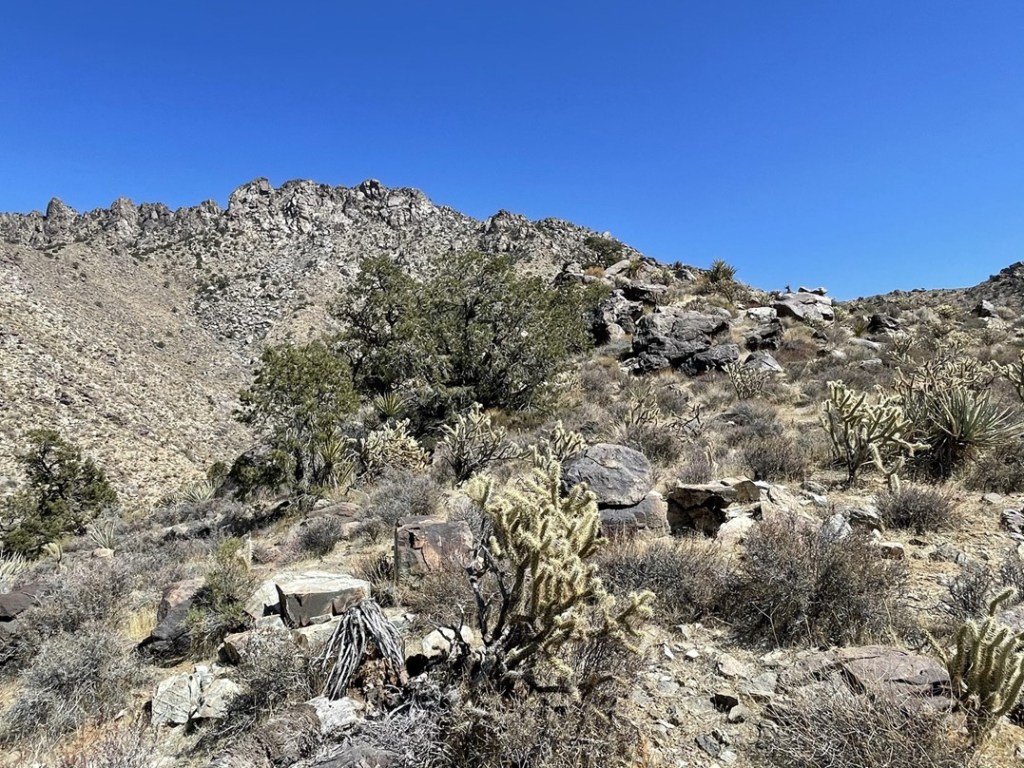
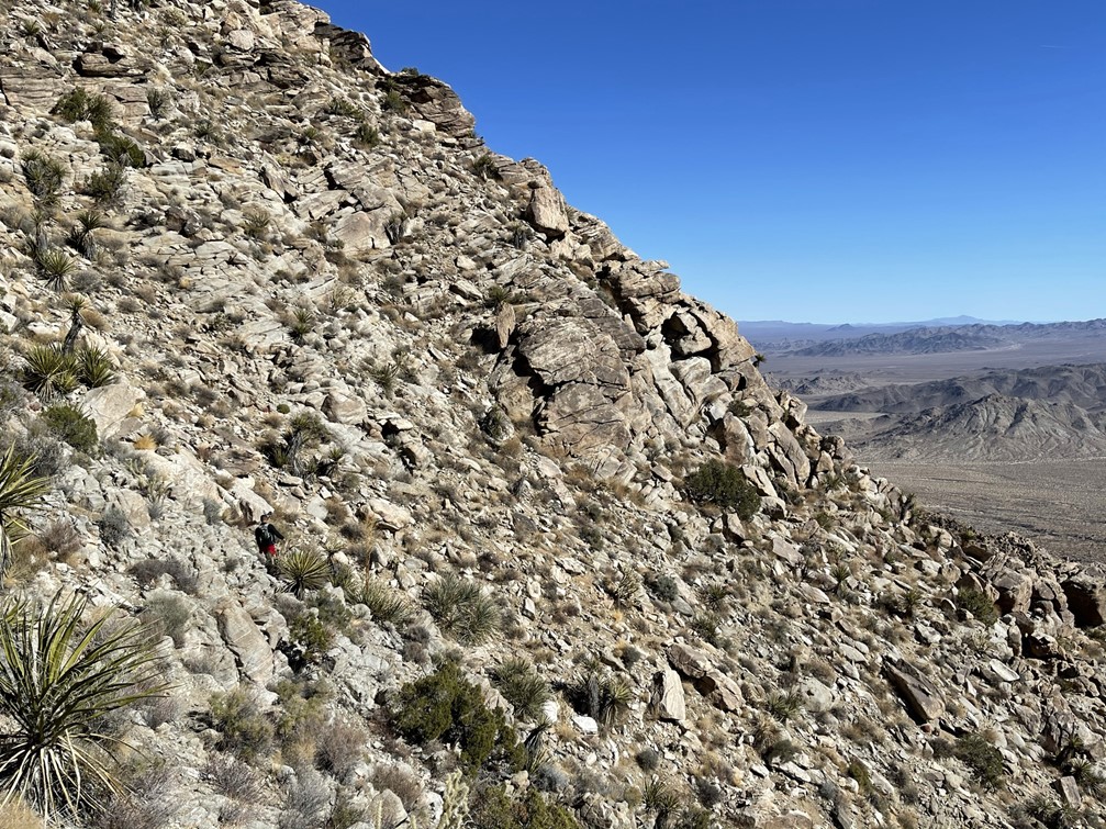
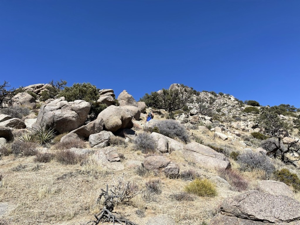
The ridge was steep, but we made good time. It was mostly class 1 with a little class 2 scrambling mixed in.
We were up high enough that there was plenty of pinion pines and juniper on the ridgeline.
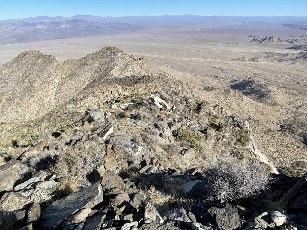
Eventually we topped out and reached a flattish area. We were still about a mile southwest of the summit but there was only a few hundred feet left to climb. We passed to the right of a false summit.

We then passed through a small basin. The true summit was now in view dead ahead.

The final ascent was on a gradual, grassy slope.
We climbed up and reached the summit at 2:52pm at 3.9 miles!
We located the register, and both signed it. I found the benchmark, but no reference markers.

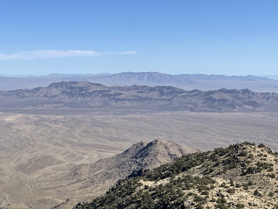
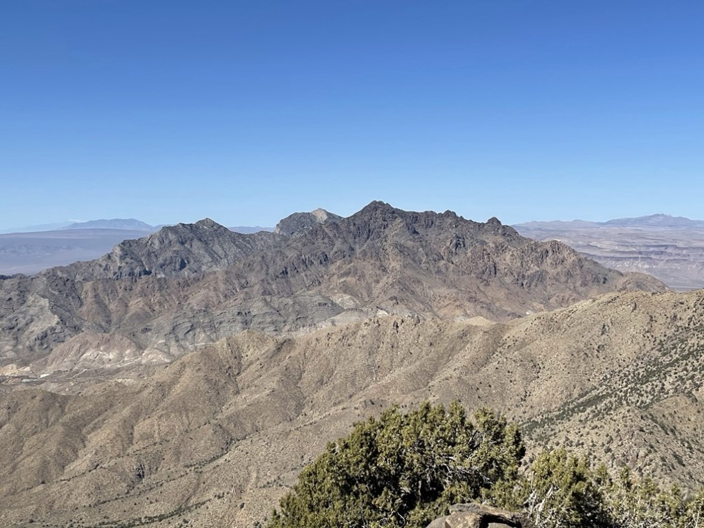
It was a pretty clear day, so the views here were excellent. To the south we could see Old Woman Mountain (center background). Clipper Mountain is in the foreground. The straight line at the base of Clipper is I-40.
To the west we could see Granite Mountain and Silver Peaks. I had climbed both peaks in a single hike in my first trip to Mojave National Preserve in December 2019.
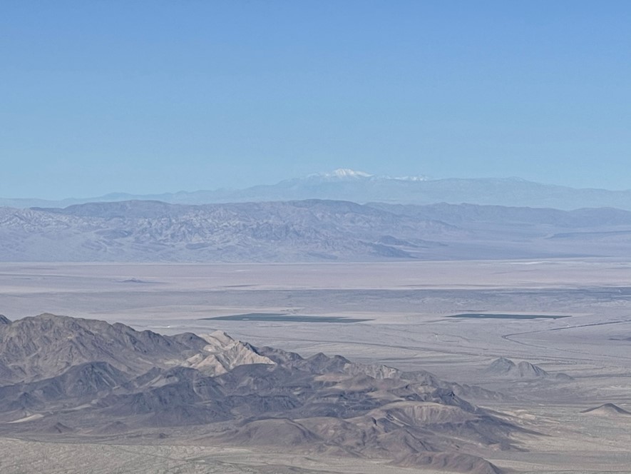
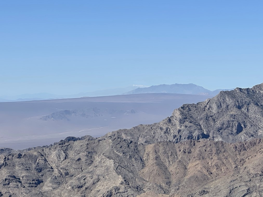
To the north we could see Clark Mountain at the northern end of the preserve. The snow capped peak behind it is Mount Charleston in southern Nevada.
To the east we could see the rest of the Providence Mountains, including Edgar Peak, Mitchell Point, and Fountain Peak. At 7162 feet, Edgar Peak is the highpoint of the range.
We began descending after a lengthy break.

At 4.4 miles we found a random mine that we weren’t expecting.
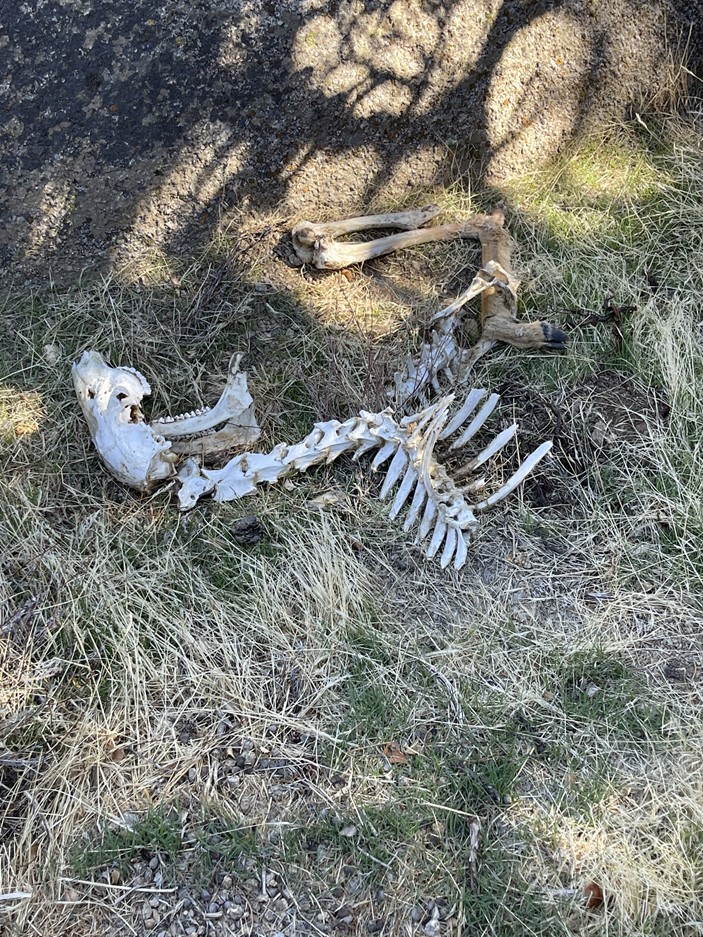
Soon after that we found a dead animal skeleton. It was pretty small, but it had hooves, so I figured it was a baby bighorn shape.
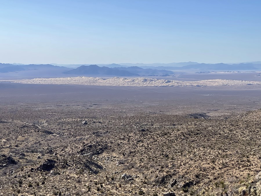
We followed our ascent route down the same ridge we had come up. We had a great view of the Kelso Dunes to the northwest. The Kelso Dunes are one of the main attractions in the preserve. I hiked to the highpoint of the dunes on the same day I climbed Granite and Silver in 2019.
Once we reached the desert floor, we followed an old roadbed for part of the way back. The road continued to the west, so we left it when we needed to head south to get back to the cars. When we reached the dirt road at the wilderness boundary, we stopped and chatted with a group of 4 who were target shooting. They were friendly enough, but they told us some weird story about all this hiking they planned to do the next day. We thanked them for not shooting us and advised them that shooting wasn’t allowed on NPS land. We continued on our way and reached the cars a short time later at 5:25pm. This hike totaled 8.31 miles. 2854 feet elevation gain, and 4:47:02 total time.


Stav and I packed up and said our goodbyes. He was planning to hike in the Ord Mountains near Barstow the next day, and I was planning to do Spectre Peak in Joshua Tree National Park. It took me about an hour and a half to drive to the trailhead on Highway 62. The DPS guide notes a dirt road about 4 miles east of the standard trailhead that has good camping. I found this dirt road and drove about a mile in and spent the night. The camping was indeed good – flat spaces, plus it was quiet and dark (besides the full moon which tried its best to keep me up all night).
