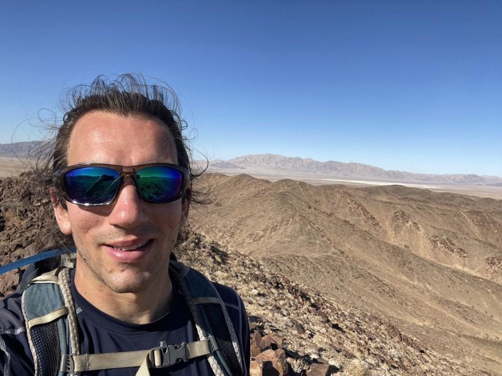
Spectre Peak and Aqua Benchmark
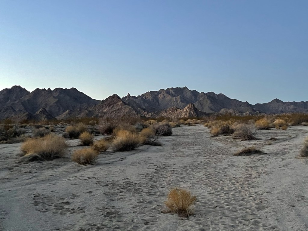
The Coxcomb Mountains are a spectacularly rugged mountain range at the extreme eastern end of Joshua Tree National Park. They were added to the park in 1994 at the same time it was upgraded from National Monument to National Park. The bouldery terrain is much more similar to the nearby Sheephole Mountains than any of the other ranges in the park. There are 3 points of nearly equal height at the upper reaches of the Coxcombs: Spectre Peak (4482 feet), Tensor Point (4419 feet), and Dyadic Point (4360 feet). The names Spectre, Tensor, and Dyadic all refer to some mathematical equation. Spectre Peak is the highest of the 3 and is on the DPS list. Tensor Point, also known as Aqua Benchmark, is the 2nd highest (despite USGS maps showing it as the range high point). Dyadic Point, the lowest of the 3, is a class 4/5 climb, so I would be skipping it this time. I had parked the night before about 4 miles east of the standard trailhead on a dirt road that the DPS guide describes as “good camping.” I woke up early and made the short drive to the trailhead. I was able to park a few dozen feet off the road where the wilderness boundary begins. This made me feel a little better than parking right on the side of the highway. I started hiking at 6:12am from 1724 feet.

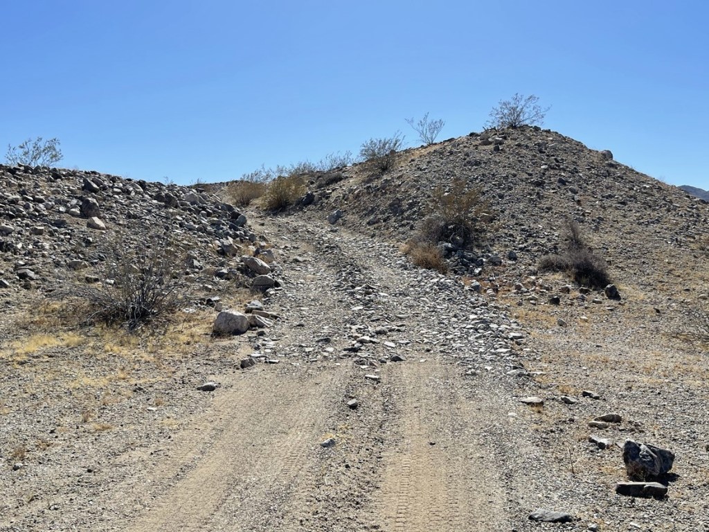
As is the case with a lot of these desert peaks, there used to be a 4WD road that one could drive on to get much closer to the peak. This road, along with many others, was gated off when wilderness boundaries were created or expanded in 1994. The road was very difficult to follow in spots and disappeared altogether here and there. I guess nature had done a lot of work in 27 years!
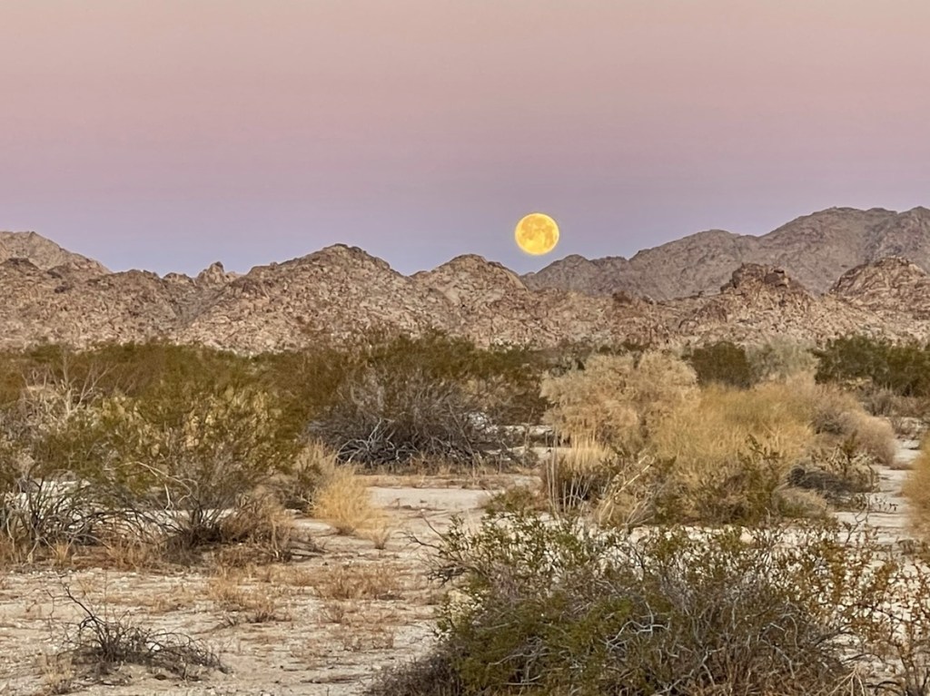
About 20 minutes into the hike, I got quite a show as the moon set on the western horizon at almost the exact same time as the sunrise on the eastern horizon.

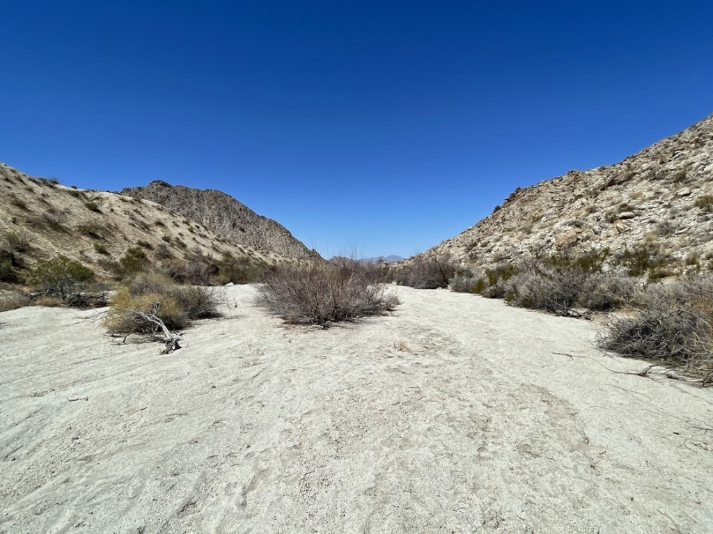
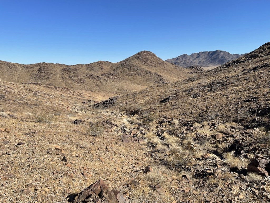
It was quite a long walk to reach the base of the Coxcombs. I hiked due south for about 2 miles before turning to the southeast. Even where the road disappeared, the flat desert terrain was easy to walk through.
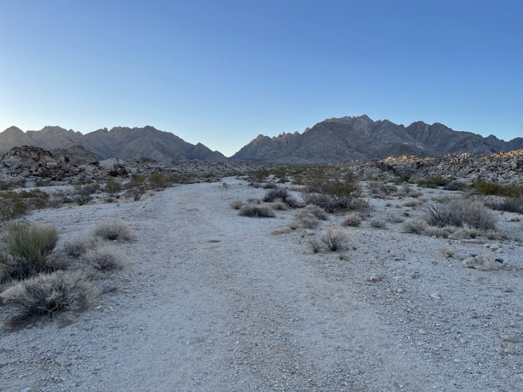
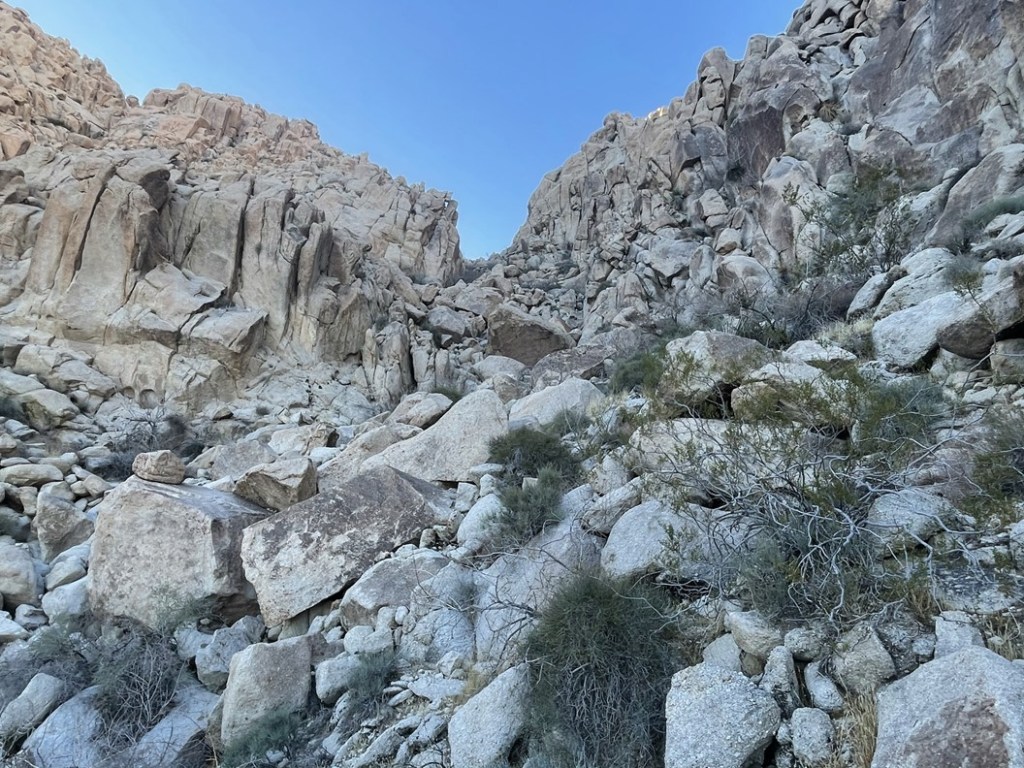
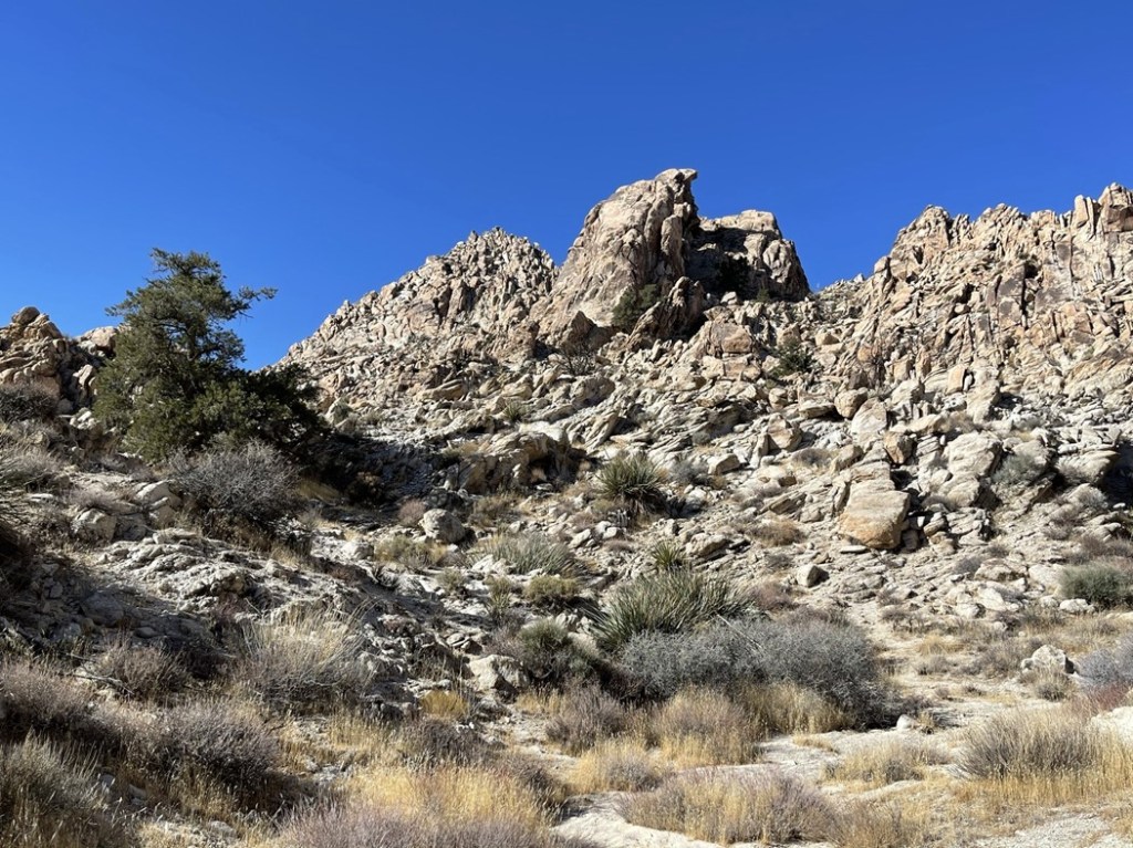
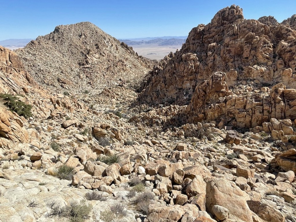
I entered a wide canyon after a few miles. There are 2 possible routes to the summit from this point. Route A continues up the canyon for a ways and then climbs up another canyon from the east. Route B takes a more direct route from the north. The initial ascent gully for Route B is between the 2 wooden posts in the picture below:

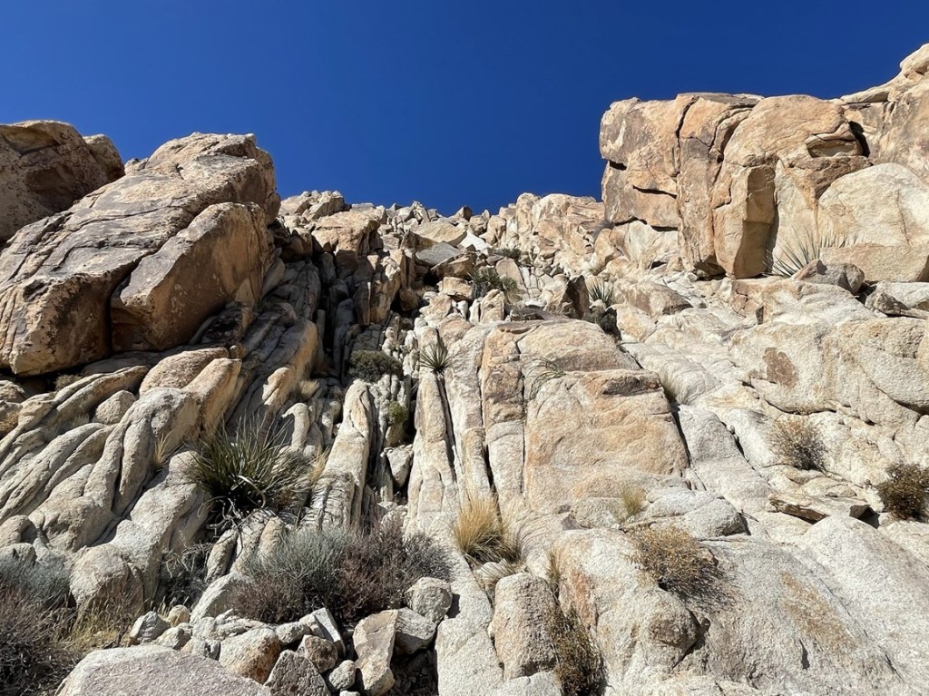
I chose to ascend route B and descend route A. I reached the base of the ascent gully at 4.3 miles. I had already climbed about 1000 feet up to this point.
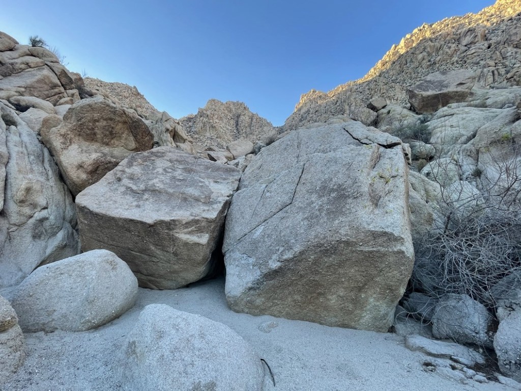
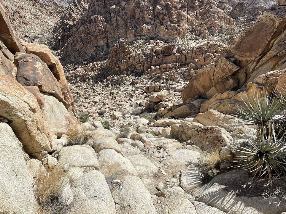
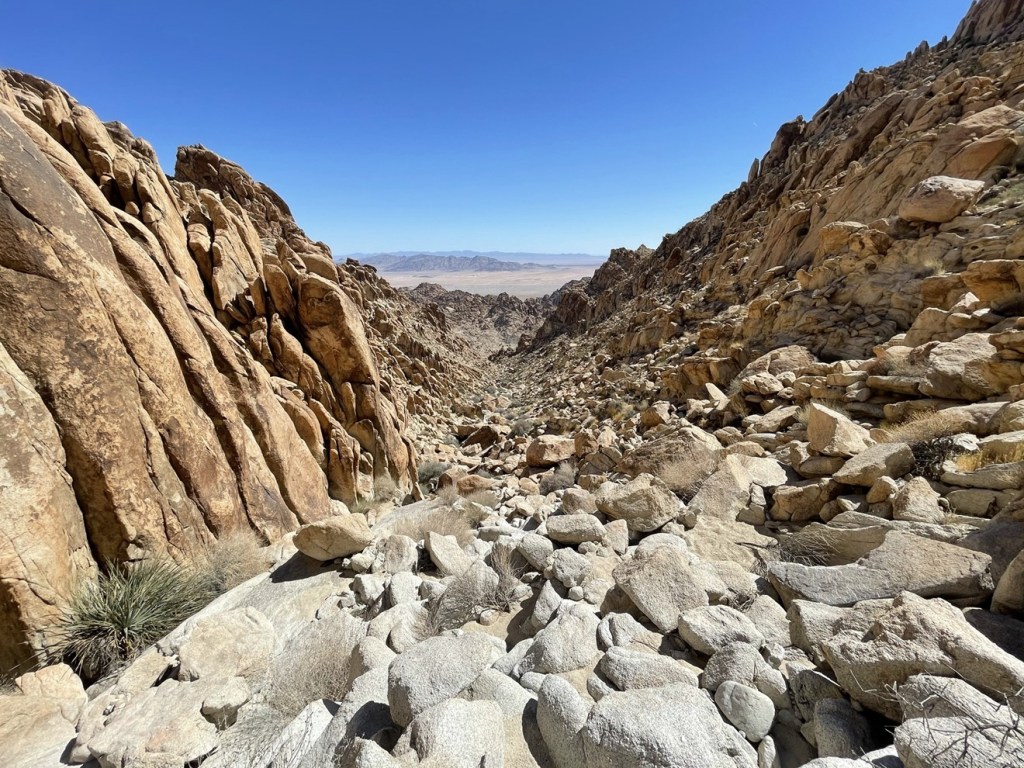
As expected, the wash was very steep and rocky. The large boulders slowed me down, but I found the scrambling to be a lot of fun.
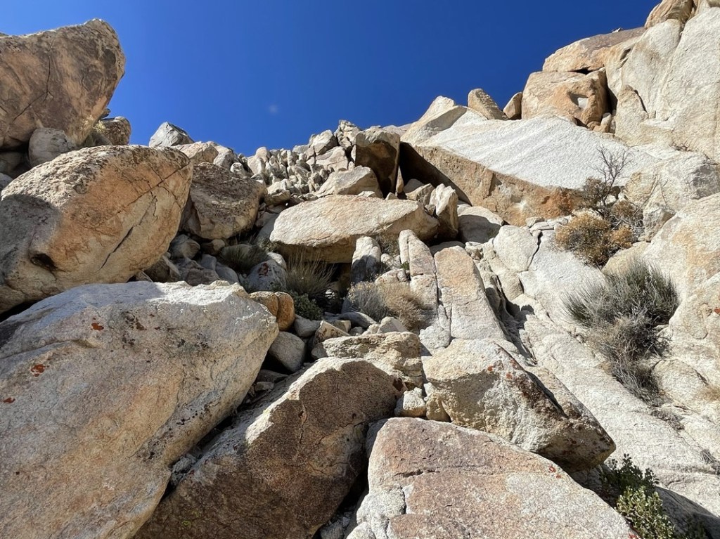
The wash split a few times, but I kept left at most of the forks. At 4.7 miles I reached a flatter area. At 4.9 miles I made a right turn and ascended more rocky terrain.
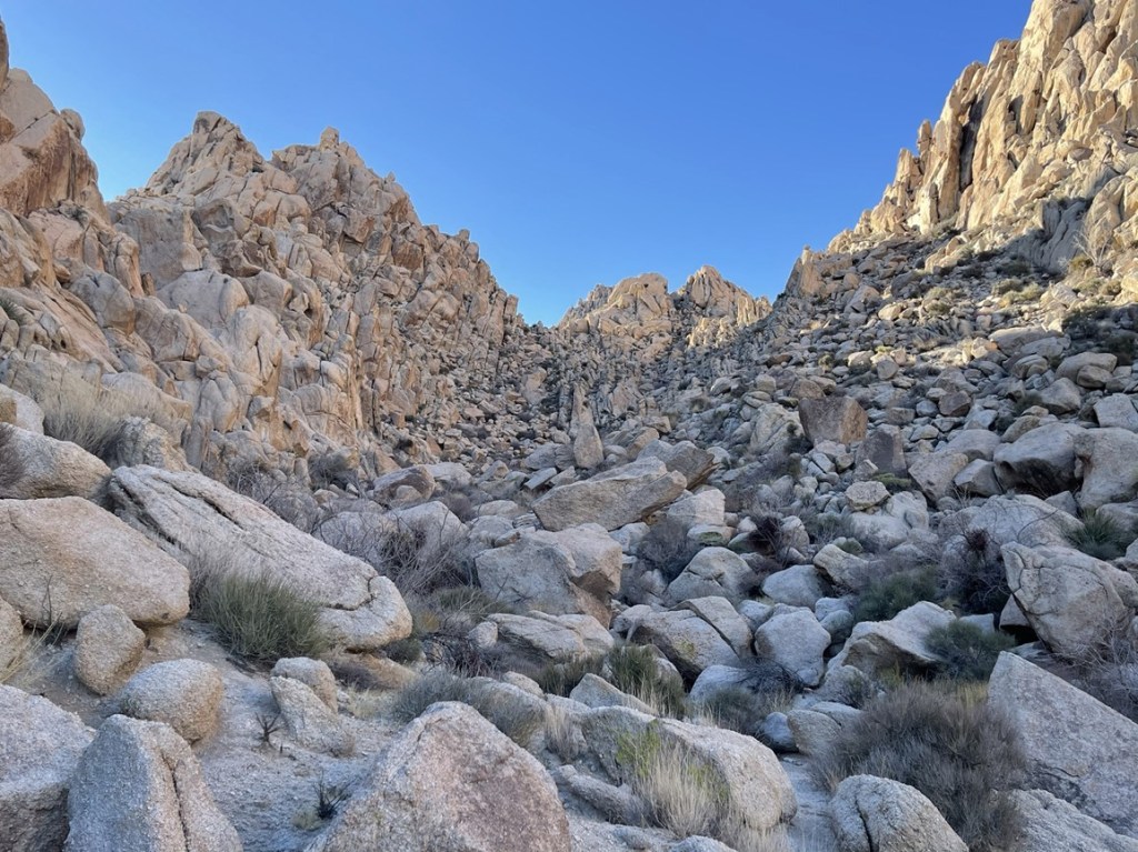
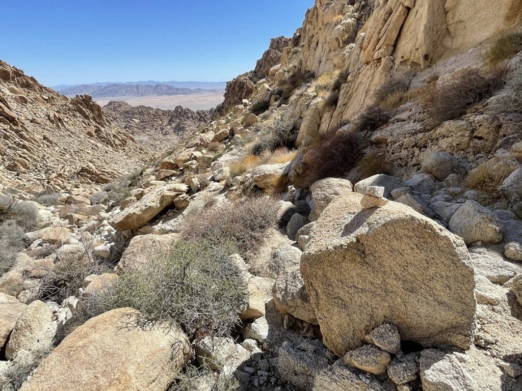
I then descended about 100 feet as I continued south.
I then ascended another steep rocky section after the dip.
I saw single pinion pines here and there.

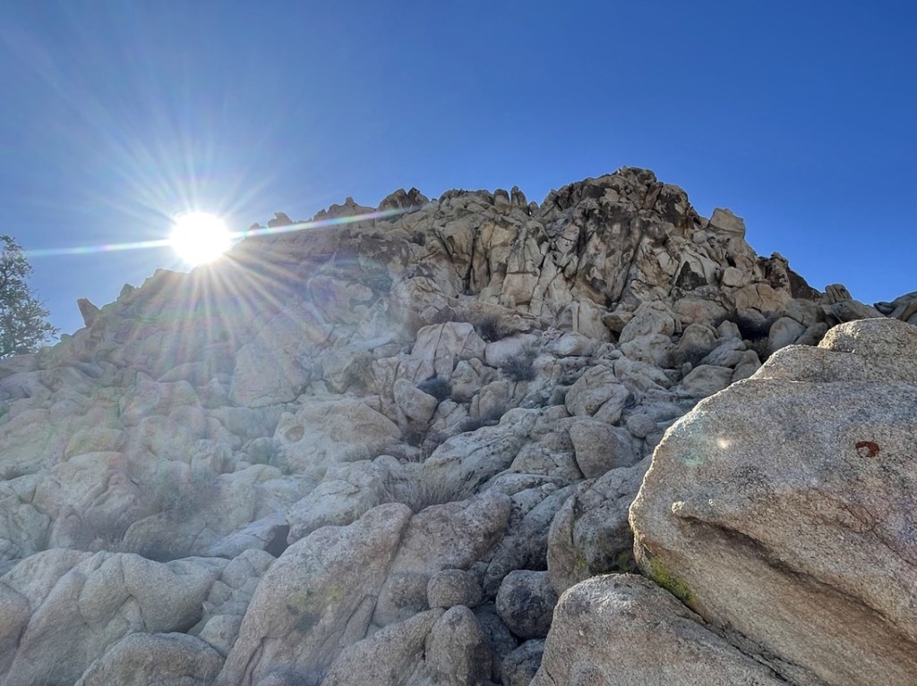
I then reached a saddle just south of Aqua Benchmark. I was only a few hundred feet away now.
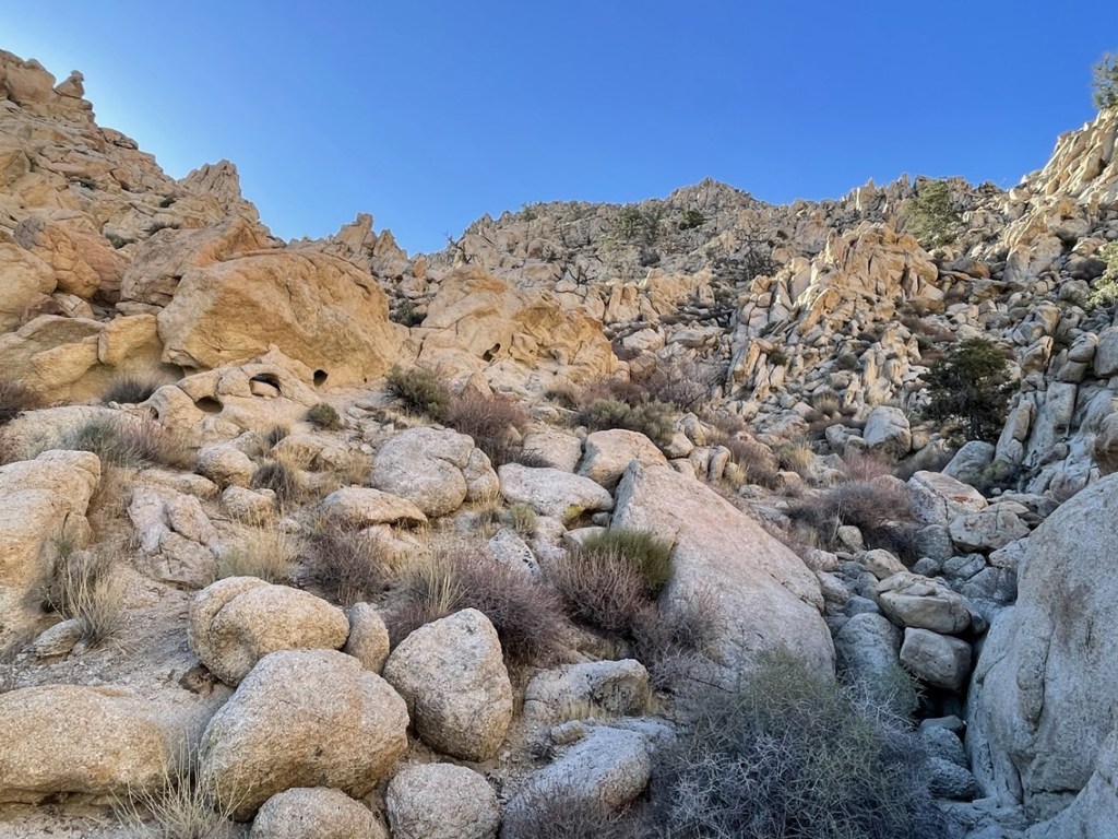
Despite the rugged terrain, I was actually really enjoying the scrambling. I had imagined this peak was going to be similar to Sheephole Mountain, which has some absolutely miserable terrain, but I found the rock here to be stable and just lots of fun to climb on. I was also glad I had done most of the ascent up to this point in the shade. The sun was just beginning to poke out.
I scrambled up the remainder of the class 2 slope and reached the summit of Aqua (Tensor) at 9am at the 5.7 mile mark! I signed the register which had been placed in 2016. The previous ascent was from March 14th. I located the benchmark.
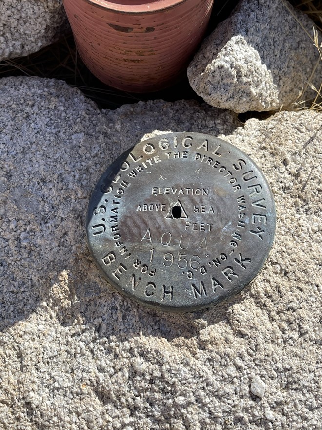
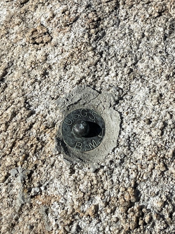
The 2 reference markers appear to have been removed. I found the pins where they used to be.
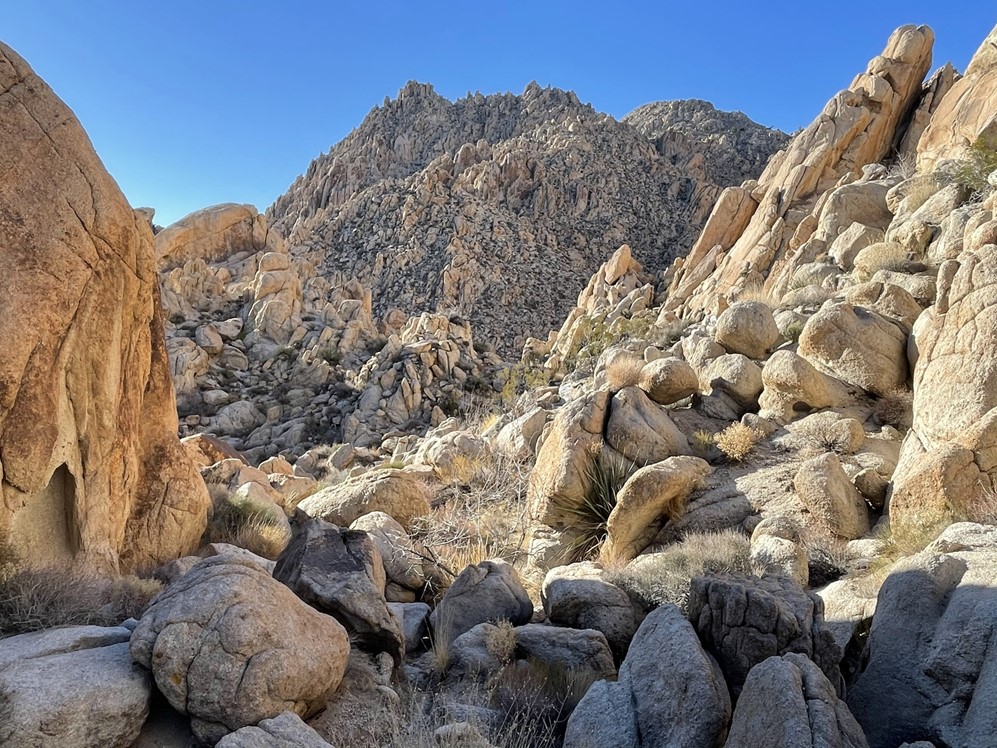
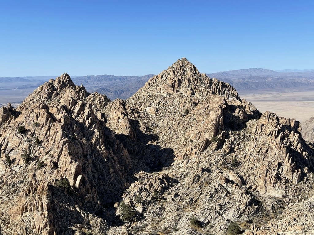
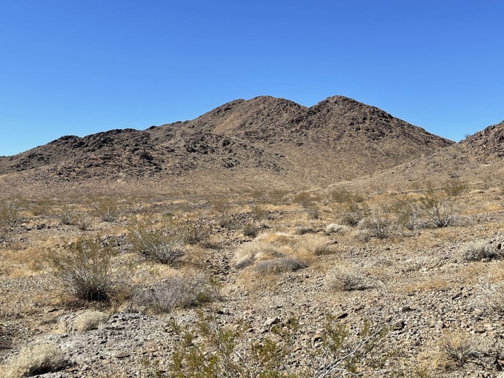
I had a great view of the other 2 pinnacles. Dyadic Point was directly south. Its sheer face certainly looked unclimbable to me (with my limited abilities).

Spectre Peak was to the southwest. It looked a little friendlier than Dyadic.
After a 20 minute break, I pressed onward. I began by descending the southwestern slope of Aqua.

At 6.2 miles I reached the basin below all 3 peaks. I had 400 feet to climb to the top of Spectre.
I then ascended directly up the northeastern slope of Spectre. This was the most technical portion of the hike. It had all been class 2 up to this point, but there was a short section of class 3 about 100 feet below the summit.
I climbed my way carefully to the top. It was tough, but definitely within my comfort zone.
I reached the summit at 9:54am at 6.2 miles!

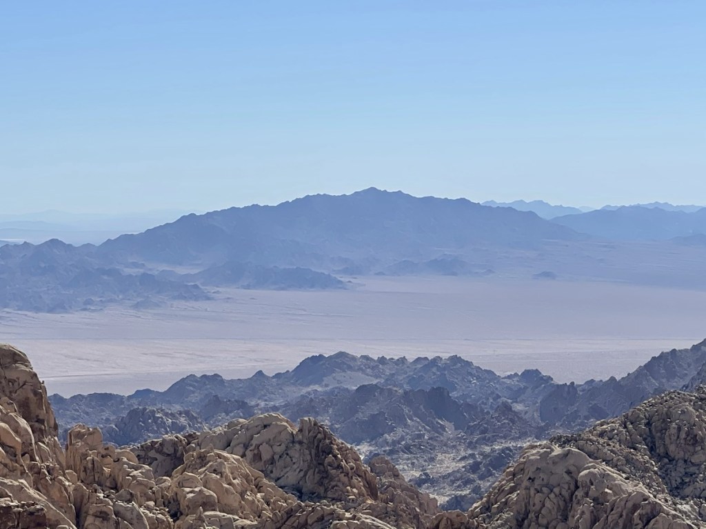
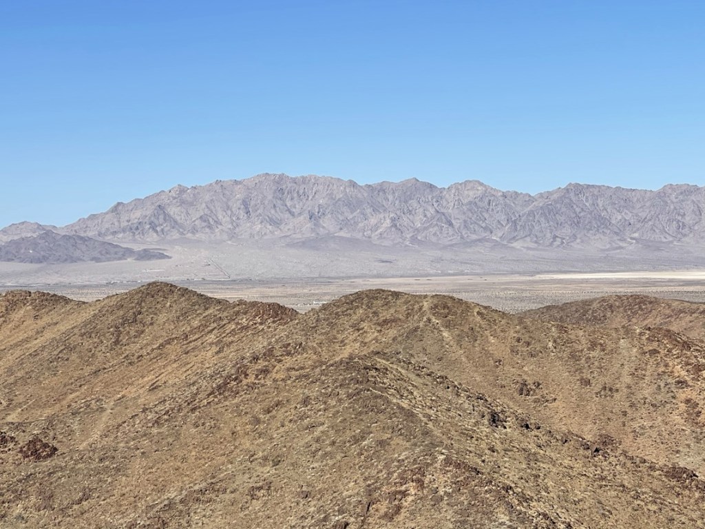
I signed the register which had been placed in 2000. The previous ascent was on March 20th. This peak gets a little more traffic than most of the desert peaks I’ve climbed, likely due to its relative proximity to the inhabited areas of Southern California. It was another clear day, so the views were spectacular. While not as high as the peaks in the western end of the park, Spectre has the pretty cool distinction of being the most prominent peak in Joshua Tree. I recognized many nearby desert peaks, most of which I’ve climbed by this point. I could see Black Butte across I-10 to the south:

Granite Mountain due east:
The Turtle Mountains to the northeast:
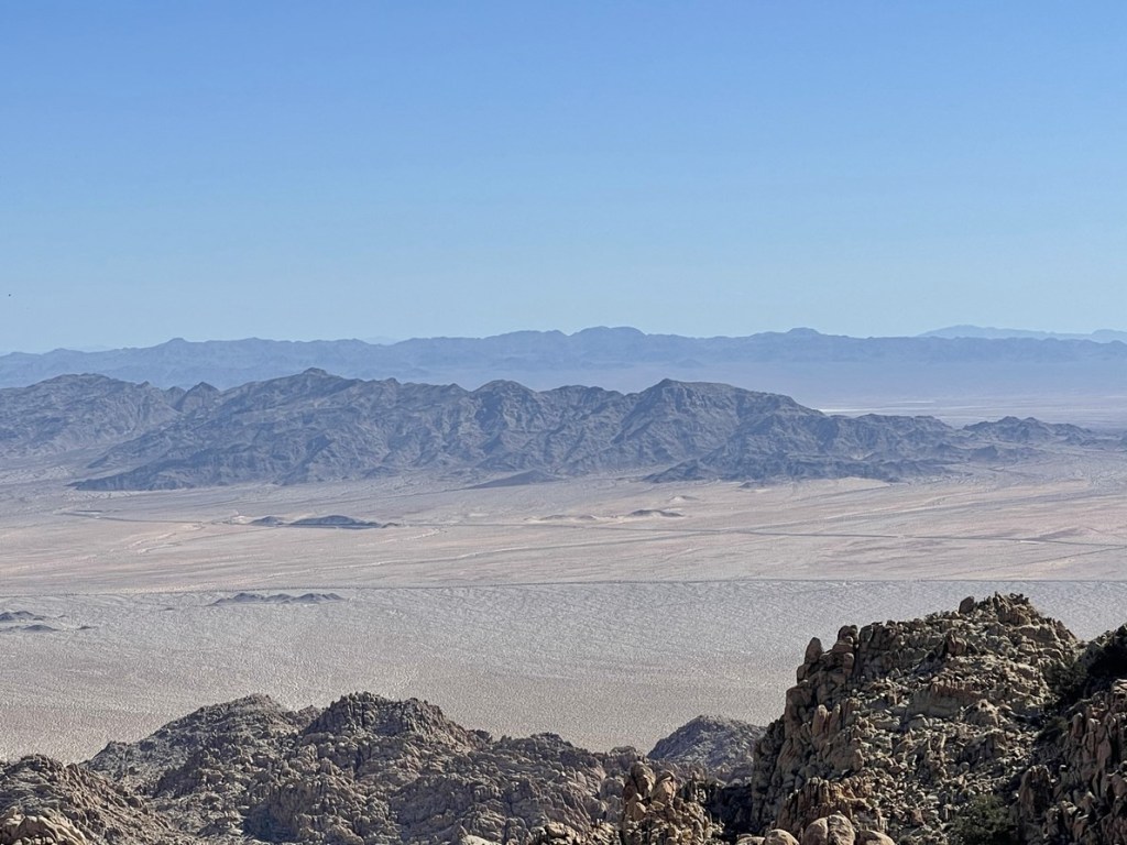
The Old Woman Mountains to the north:

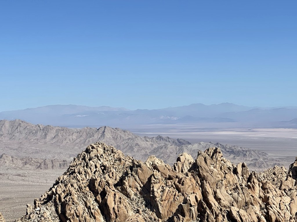
The other Granite Mountain and the Providence Mountains of Mojave National Preserve:
I spent a long time on the summit soaking in the views and enjoying the moment. It was getting very warm, so I was glad that the hard part of the hike was behind me. I began descending a little after 10:30.
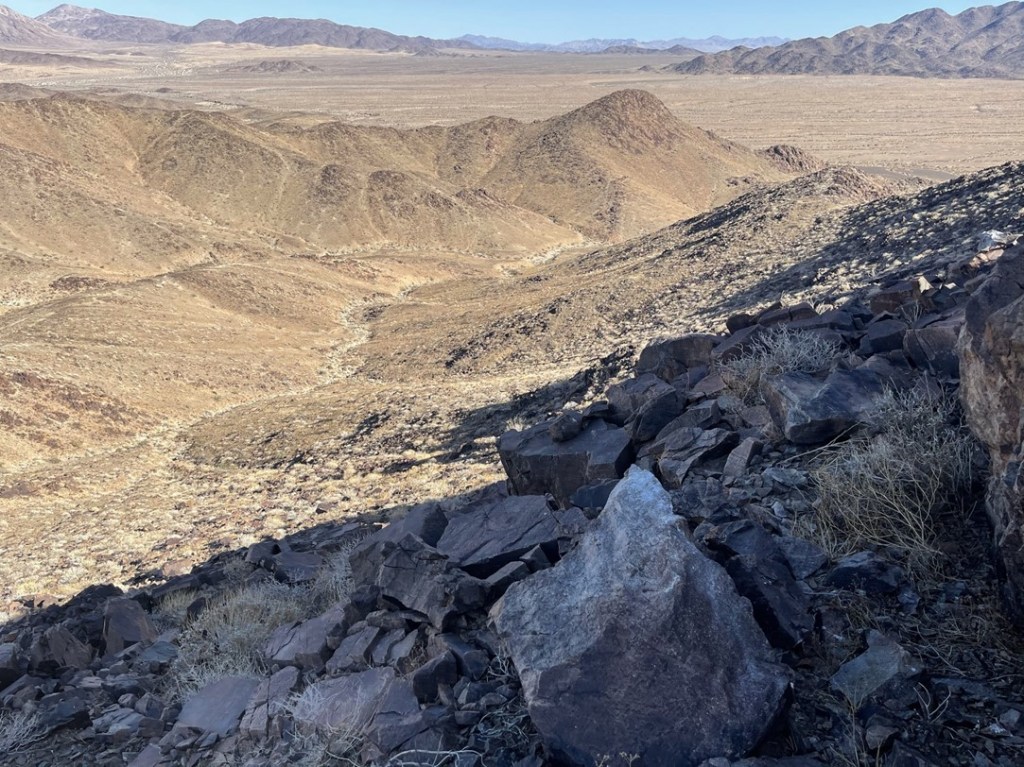
I made my way carefully down the class 3 section. From there, I descended into the basin between the 3 peaks.
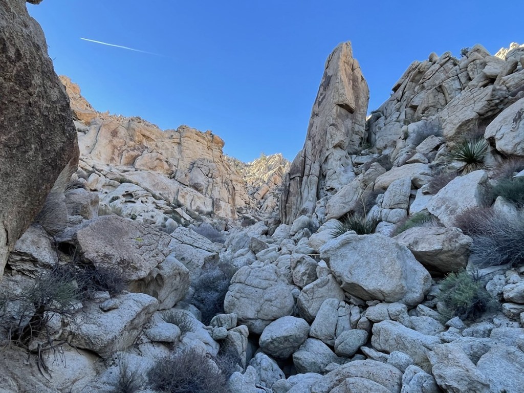
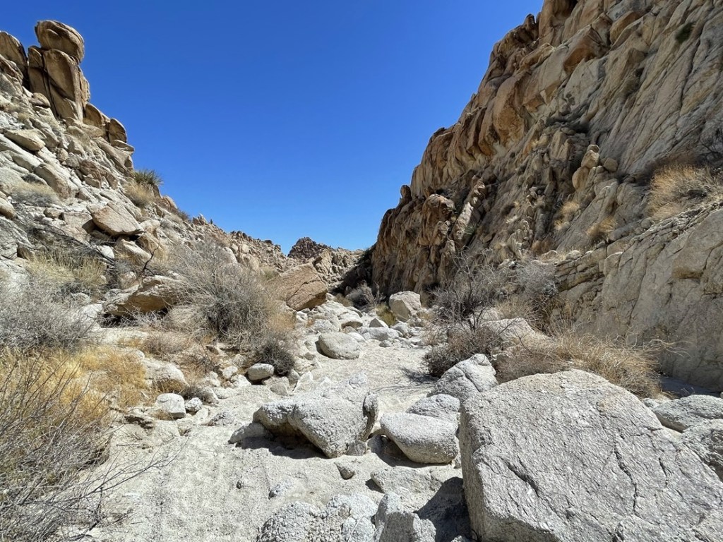
I reached the basin at 6.4 miles. From there, I went northeast between Aqua and Dyadic and began descending down a large wash.
The wash seemed to go on forever. I was able to follow a ducked use trail on the right side of the canyon part of the way down. This was much easier than boulder hopping.
At 7.9 miles I reached the bottom of the canyon. I made a sharp left turn here and ascended a shallow gully.
I went over a small crest and then spilled out into the large canyon I had initially hiked through.
From there, I rejoined the ascent route and walked about 4 miles across easy desert terrain back to the car. I reached the trailhead again at 2:02pm. This hike totaled 13.77 miles, 3117 feet elevation gain, and 7:50:06 total time.
Zoomed in on the actual climbing part of the route:


Humbug Mountain
It was early enough that I had time for one more short hike before calling it a weekend. I settled on doing 2290 foot Humbug Mountain, which is a Zdon peak located about 20 miles west of the Coxcombs. It was on the way home, plus the route looked short and easy so I figured it would be a great way to end the trip. I drove west on Highway 62 until reaching Gold Crown Road. I drove south on this well graded road for a few miles before turning west onto another dirt road. This road was rough as it alternated between very sandy and very rocky. I got sick of almost immediately, so I parked about 2 miles away from where Zdon suggests starting the hike. I wasn’t too concerned though since the route is only about a mile round trip (so 5 total for me). I began hiking at 3:03pm from 1696 feet.

I hiked west along the road. I was glad I had parked where I did because the road was so rough. I could have driven my Subaru further, but it certainly wasn’t worth risking a flat tire (especially alone). Plus, I had time and energy for more than just a one mile hike.
It was in the mid 80s now, so it felt very warm. I left the road at 1.5 miles to begin heading towards the small peak.
I climbed up onto the ridge and ascended towards a false summit. The true summit wasn’t far behind.

I went up the false summit, down the other side, and then up to the true summit. I reached the top at 3:52pm at 2.5 miles!
I signed the register which dated back to 2016. There were only a handful of signatures in the 5 years since it was placed there. Humbug Mountain is a low peak without much prominence, so the views weren’t great. I could see Twentynine Palms Mountain to the west:

And Sheephole Mountain to the northeast:
I began descending around 4:15. Rather than follow the ridge up and over the false summit, I went straight down the eastern slope.
I soon reached a small canyon between Humbug Mountain and another low hill just east of it.
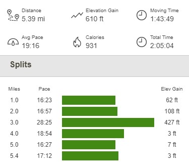
I hiked out to the road and then finally reached the car again at 5:08pm. This hike was a quick 5.39 miles, 610 feet elevation gain, and 2:05:04 total time.

I packed up the car and made the long drive home (including about an hour of stop and go traffic in San Gorgonio Pass). I will certainly be sad when desert season comes to an end in a few weeks!
