Mount Tipton
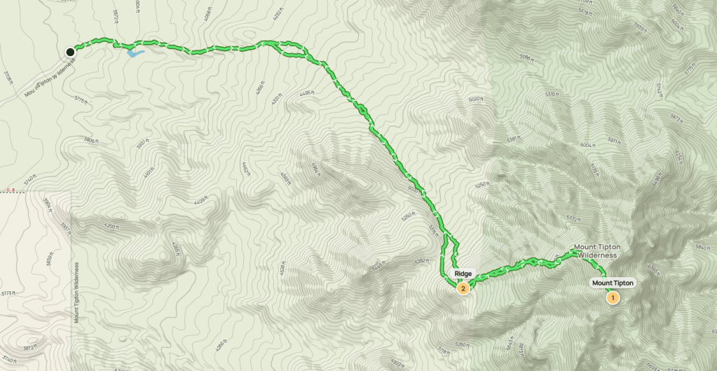
Mount Tipton is a 7148 foot peak located just north of Kingman, Arizona. Mount Tipton has over 3000 feet of prominence and is the high point of the Cerbat Mountains. It is also one of 9 Arizona peaks on the DPS list. Garret and I had driven to the trailhead the night before and camped there. From US-93, we went northeast on Pierce Ferry Road, then east on 7th Street, the south on Inglewood Drive, then east on 5th Street, then northeast on a rough road until we parked. The roads were in good condition up until the final dirt road. The last mile had large rocks in the road, so I decided to park about a quarter mile from the end. We woke up the next morning and drove the rest of the way in Garret’s 4runner. We began hiking at 7:02am from 3755 feet above sea level. It was 34 degrees.
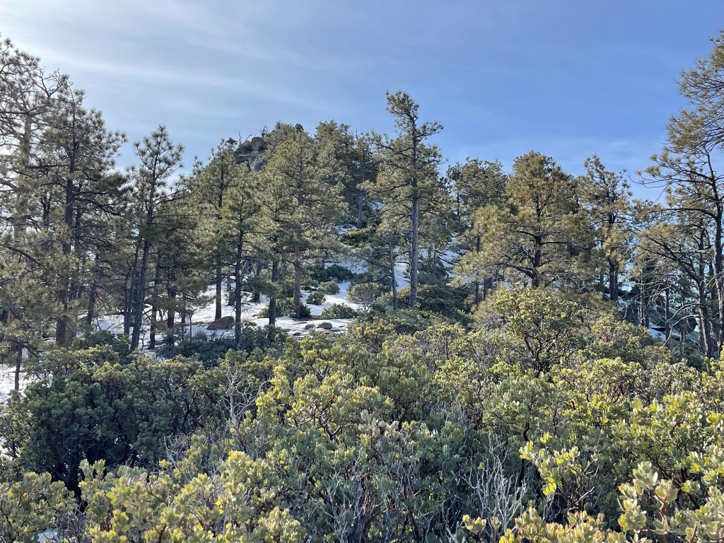
We followed the road as it continued east beyond the gate. We could see a decent amount of snow on Tipton’s upper slopes.

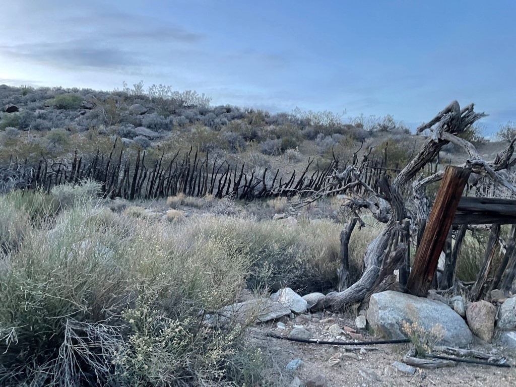
We passed a really beat up old corral.
At 1 mile we left the road and hiked southeast across rolling desert terrain. We then entered a wash heading directly towards the peak.
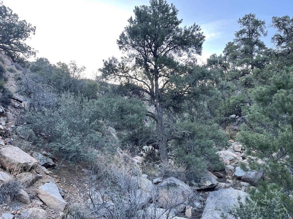
The wash was very brushy which slowed us down. We were surprised to find some tiny snow patches even below 5000 feet.
The wash petered out and we climbed up a steep slope to the main ridge, which we reached at 2.8 miles / 5700 feet.
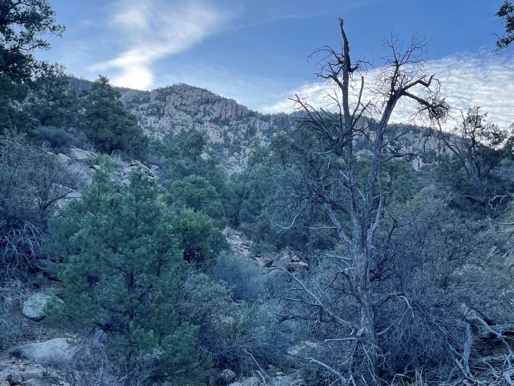
We turned east and began climbing up the ridge. The brush was awful in certain spots.

We curved around to the south as we neared the summit. We encountered more and more snow as we got higher.

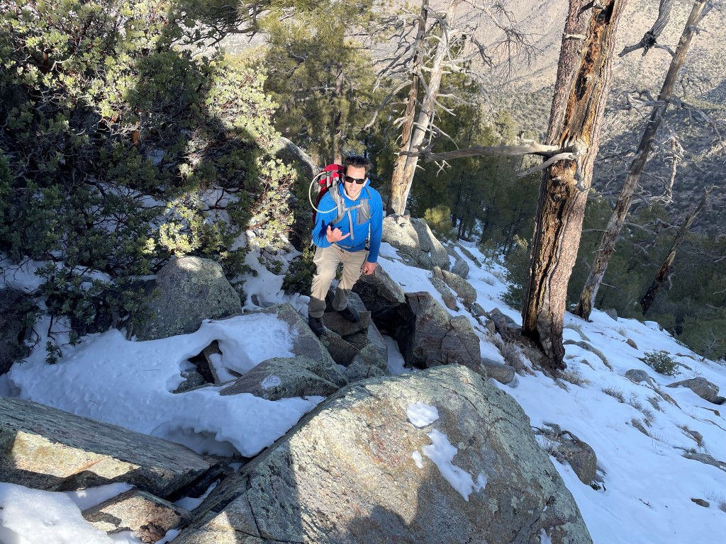
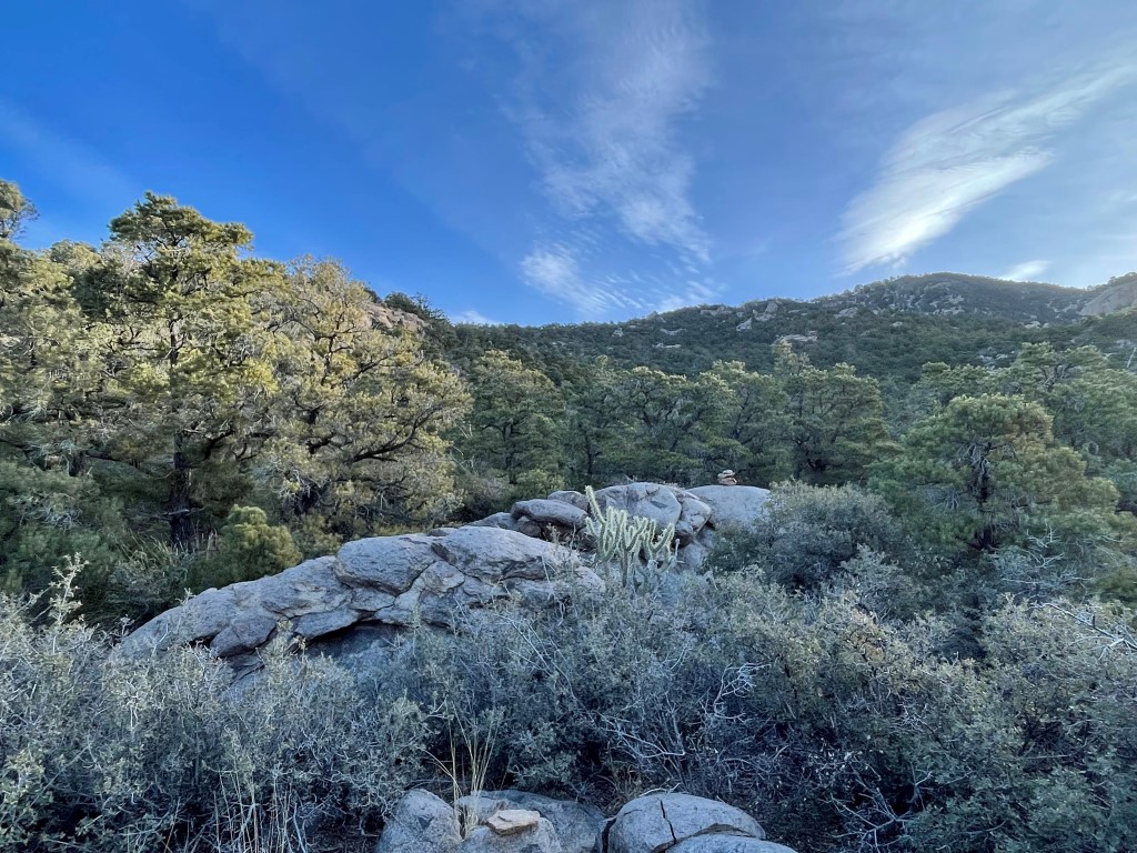
The summit soon came into view. The snow was a few inches deep here, so Garret put microspikes on.
We reached the summit at 9:52am at 3.9 miles!
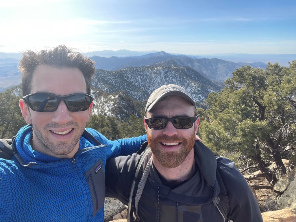
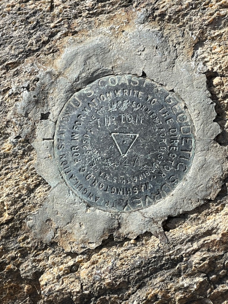
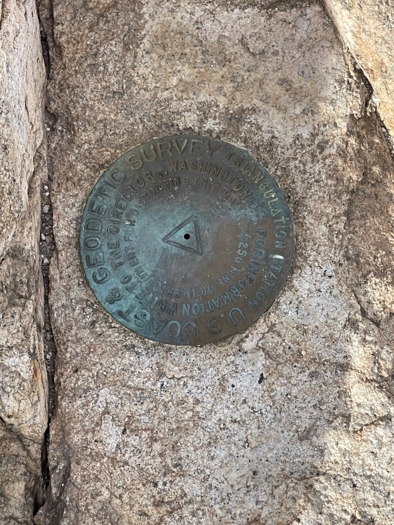
We signed the register which was placed in 1998. The most recent entry was from November. I located the benchmark and 2 reference markers.
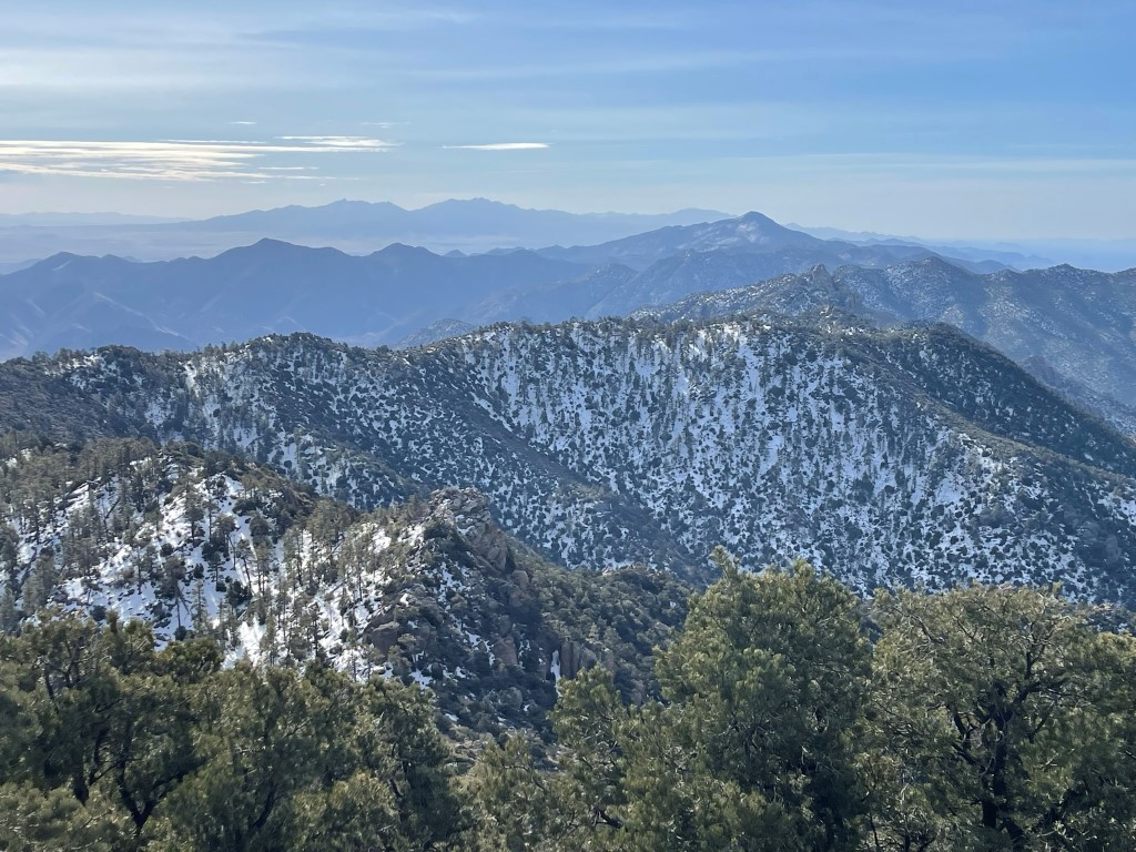
Hualapai Peak (background) to the south:
Our next destination, Spirit Mountain, to the west:

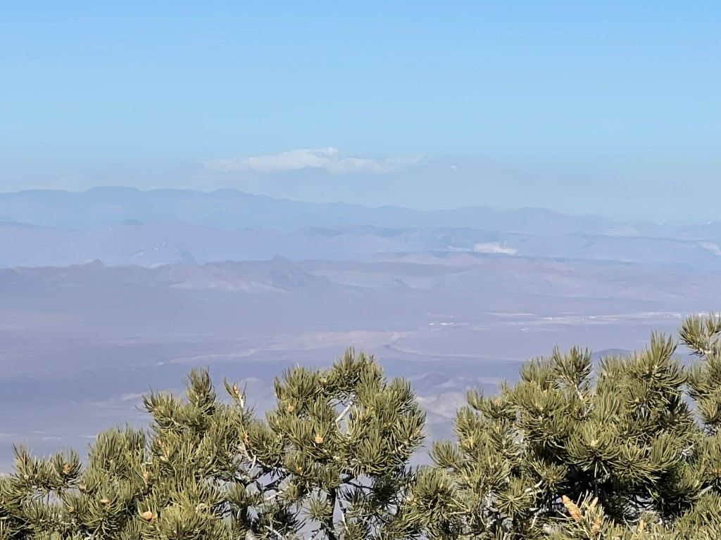
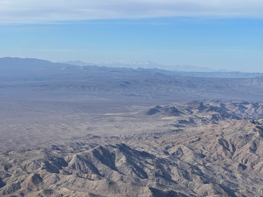
Snow covered Mount Charleston to the northwest:
We retraced our steps to the car, making good time on the descent despite the heavy brush. We agreed this peak has some of the worst brush of any DPS peak we had done.

We reached the car at 12:27pm. Stats for this hike were 7.96 miles, 3356 feet elevation gain, and 5:23:30 total time.

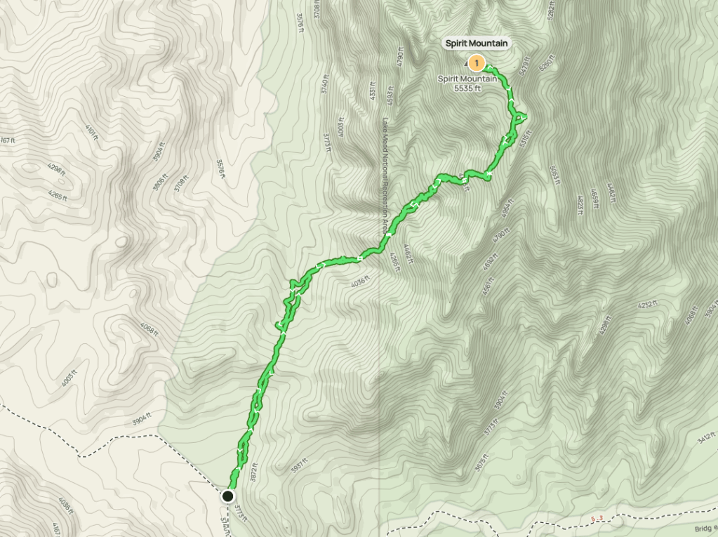
Spirit Mountain
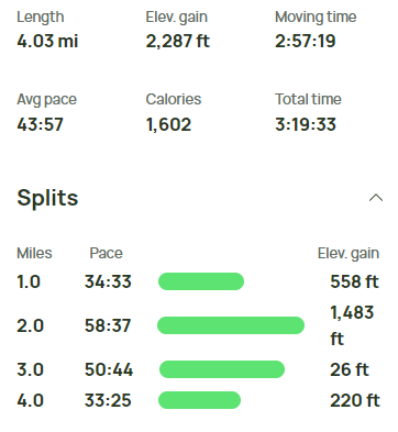
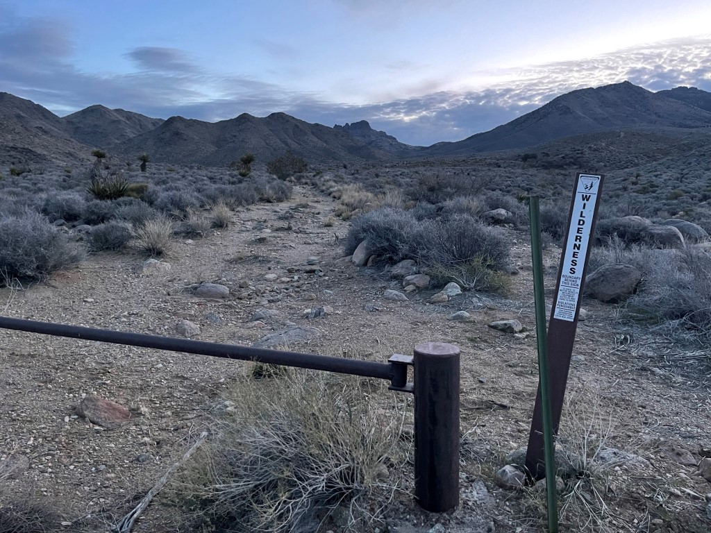
Spirit Mountain is a 5639 foot peak located in Southern Nevada northwest of Laughlin. It took about an hour and a half to drive there from Tipton. From US-95, it is about 6 miles east on Christmas Tree Pass Road to the trailhead. This dirt road is excellent and should be suitable for most cars. Garret also discovered that Christmas Tree Pass Road can also be accessed from State Highway 163 if coming from the east. This would have saved 20 minutes or so, but it ended up not mattering since we had plenty of time. We began hiking at 1:29pm from 3749 feet above sea level. It was 58 degrees.
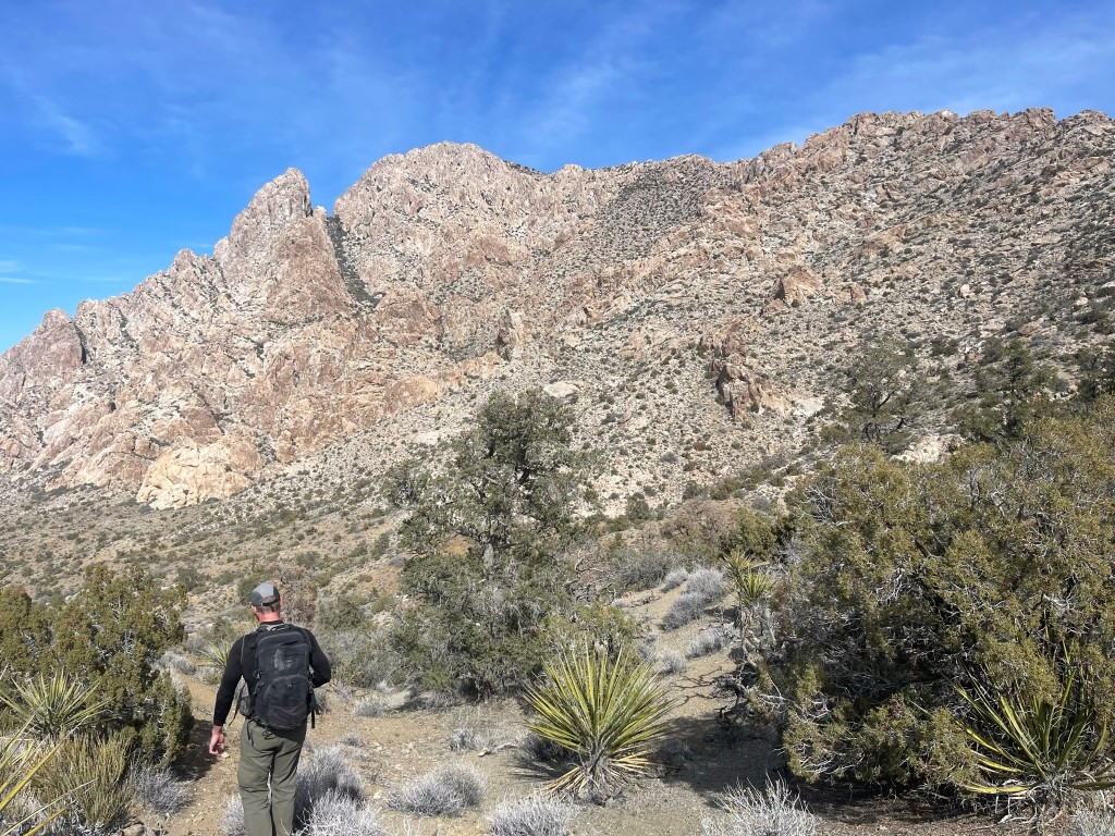
We hiked north on a decent use trail towards the mountain. We went up and down over some rolling terrain on the approach.

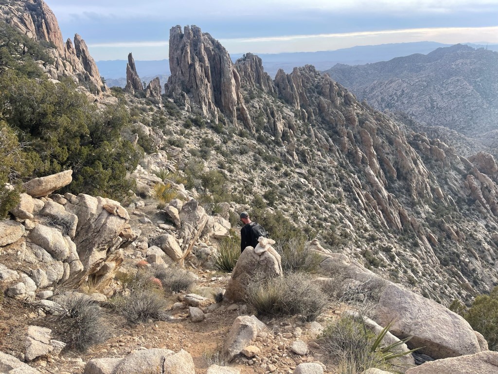
We reached a saddle and had a good look at the peak in front of us. We noted that the detached fin on the left looked like a serious rock climb.

The use trail steepened from this point.

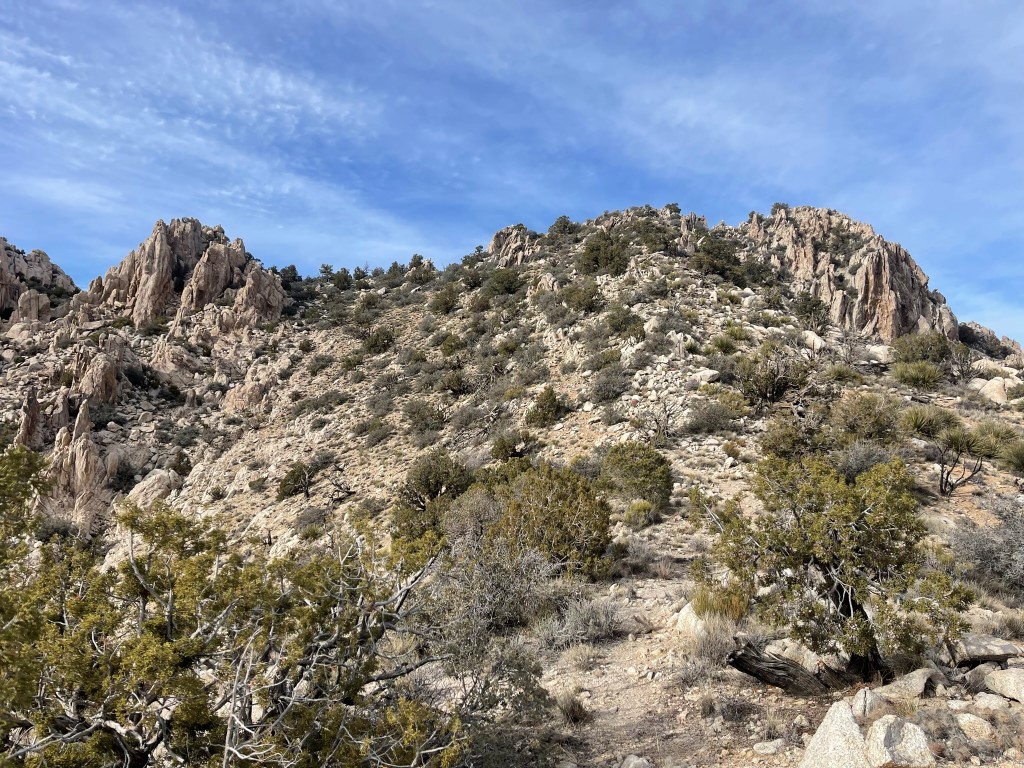
We were impressed with the various rock formations.
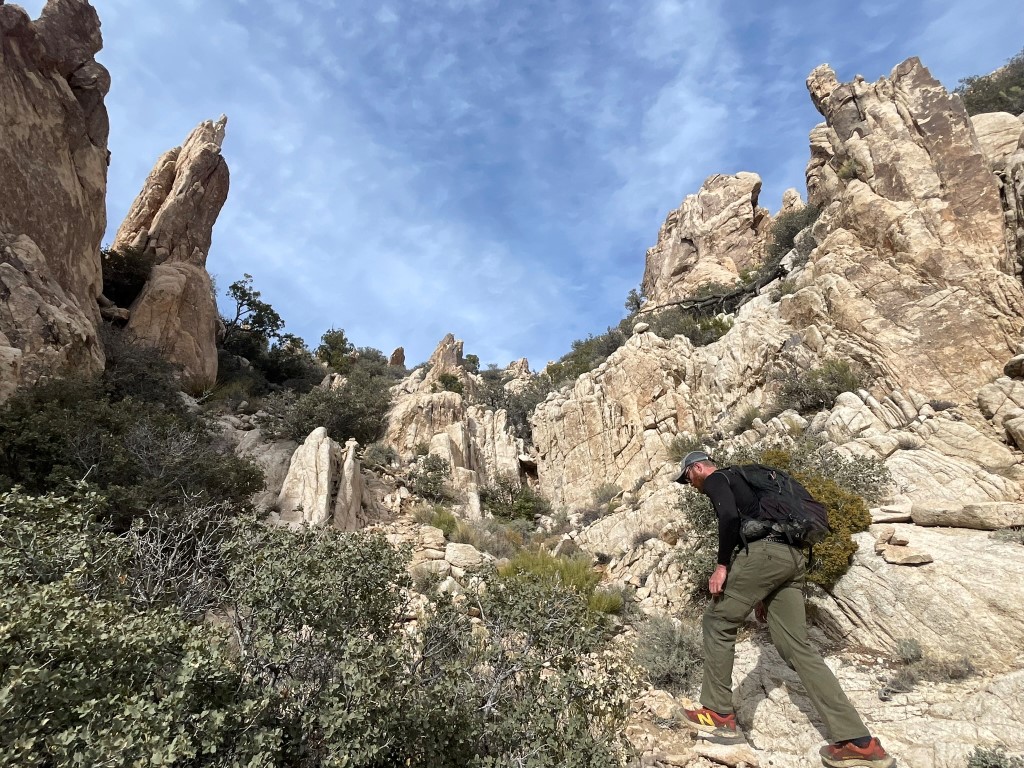
We soon reached the main summit ridge. We hiked north and then curved to the west.
We had to make one easy class 3 downclimb just before the summit. We reached the top at 3pm at 1.92 miles! It was a little breezy on top, so I put my fleece on. We were surprised to not find a register. I did locate the benchmark and 2 reference markers.
The views were quite good from the summit. Mount Charleston to the northwest:
Lake Mead to the north:

The casinos of Laughlin, NV to the southeast:

We began the descent after a nice break. We found an alternate route to the class 3 portion from earlier, but we still had to make a low class 3 downclimb on the new route we found.

From there, we alternated leads as we made good time down the mountain.
We reached the cars at 4:49pm. Stats for this hike were 4.03 miles, 2287 feet elevation gain, and 3:19:33 total time.