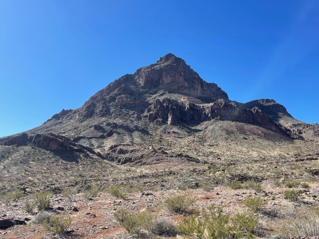
Mopah Point (3530 feet) and Umpah Peak (3553 feet) are a pair of impressive looking desert peaks located in the Turtle Mountains Wilderness of Southeastern California. Umpah is slightly taller, but Mopah is the one that earns a spot on the DPS list, likely due to its higher difficulty. However, the 2 peaks are most often climbed together due to their proximity to each other, and Garret and I were looking forward to making a big day out of it. We had driven to the trailhead the night before and camped. From US-95, we drove 4 miles west on the Heritage Trail and parked at a wide spot in the road. This road was in excellent shape and was easy for my Subaru. We began hiking at 5:34am from 1588 feet above sea level.
We started off across open desert as we hiked west in the dark. We could barely see the outline of Mopah in the distance.

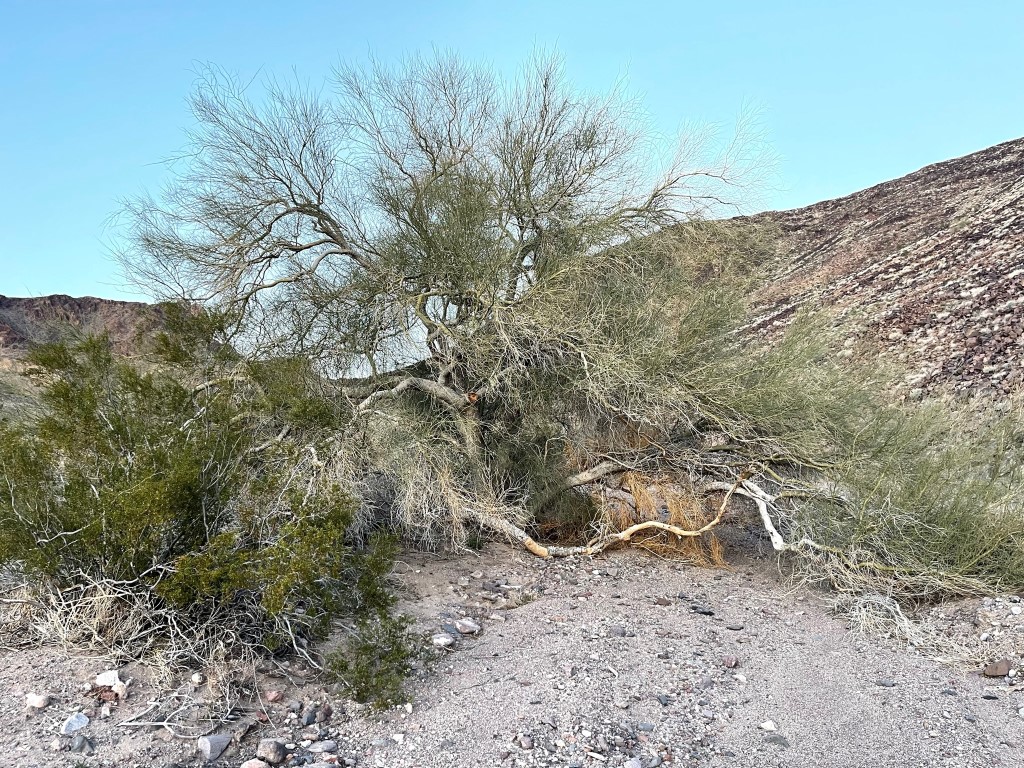
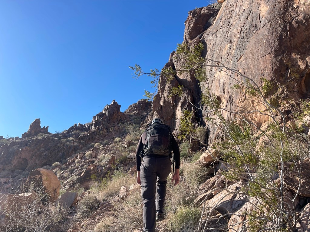
We entered a large wash and continued southwest. We saw a very large palo verde tree.
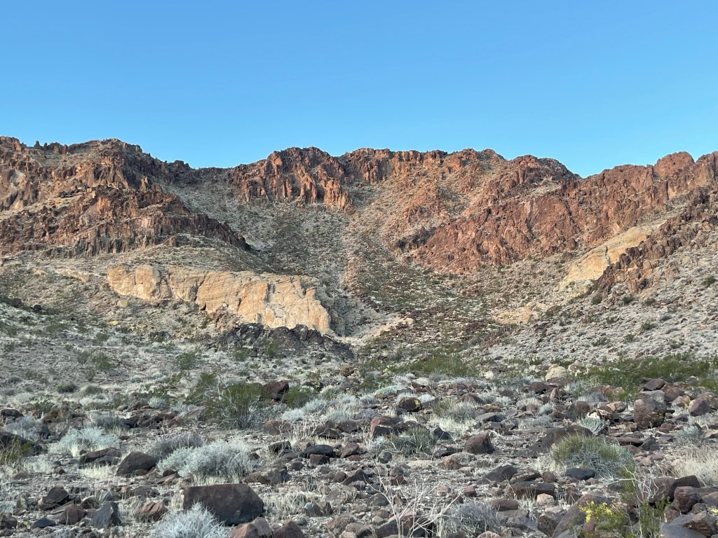
We decided to climb Peak 2657 on the way to Mopah and Umpah. Peak 2657 was directly in between us and the peaks so it didn’t add any additional mileage. Most people stay in the wash and go around it to the north. It was about an 800 foot class 2 climb from the wash.
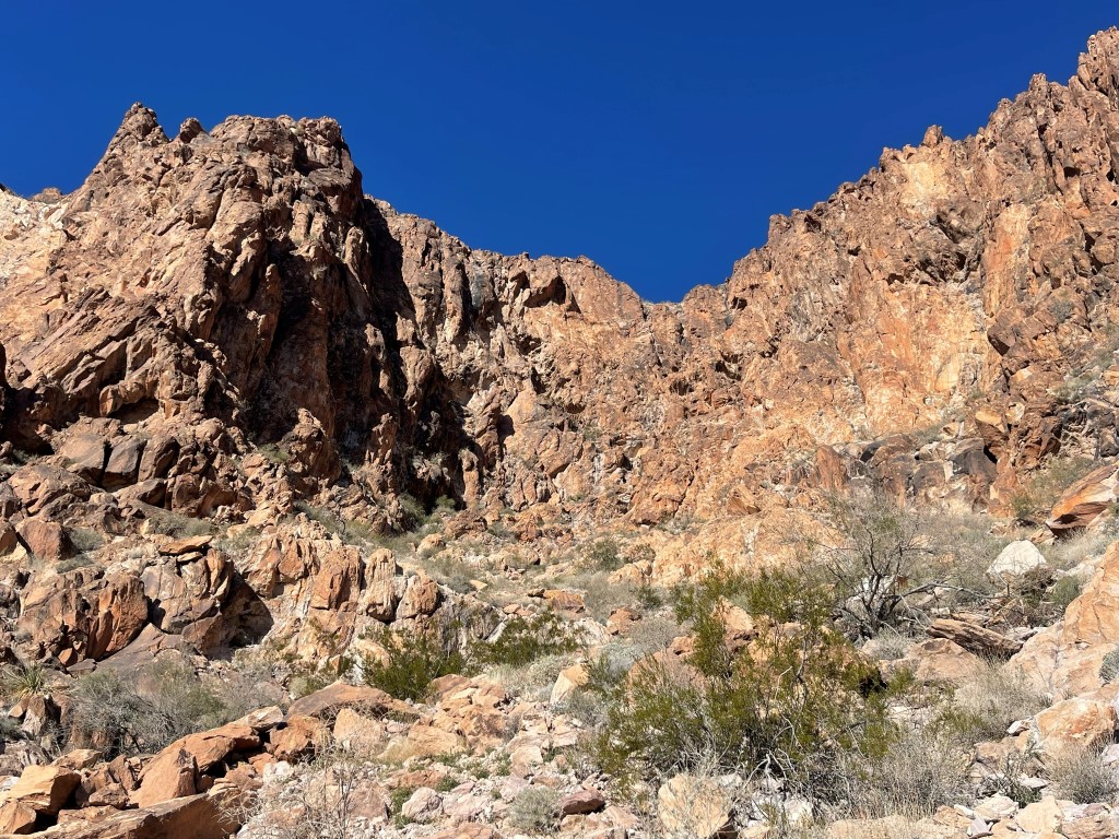
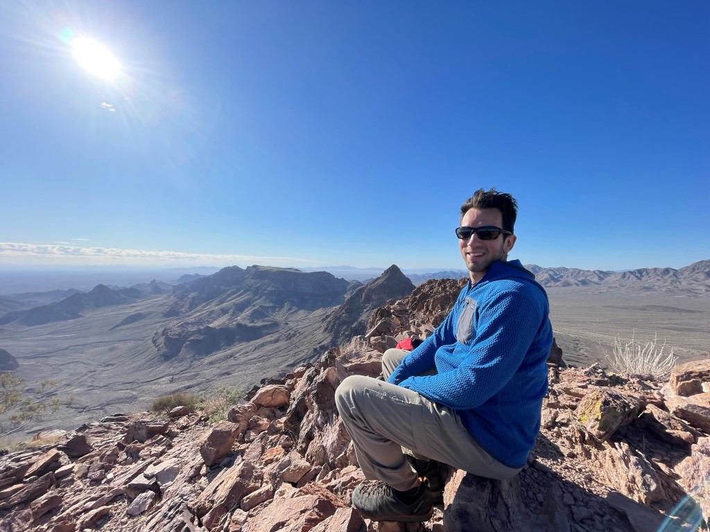
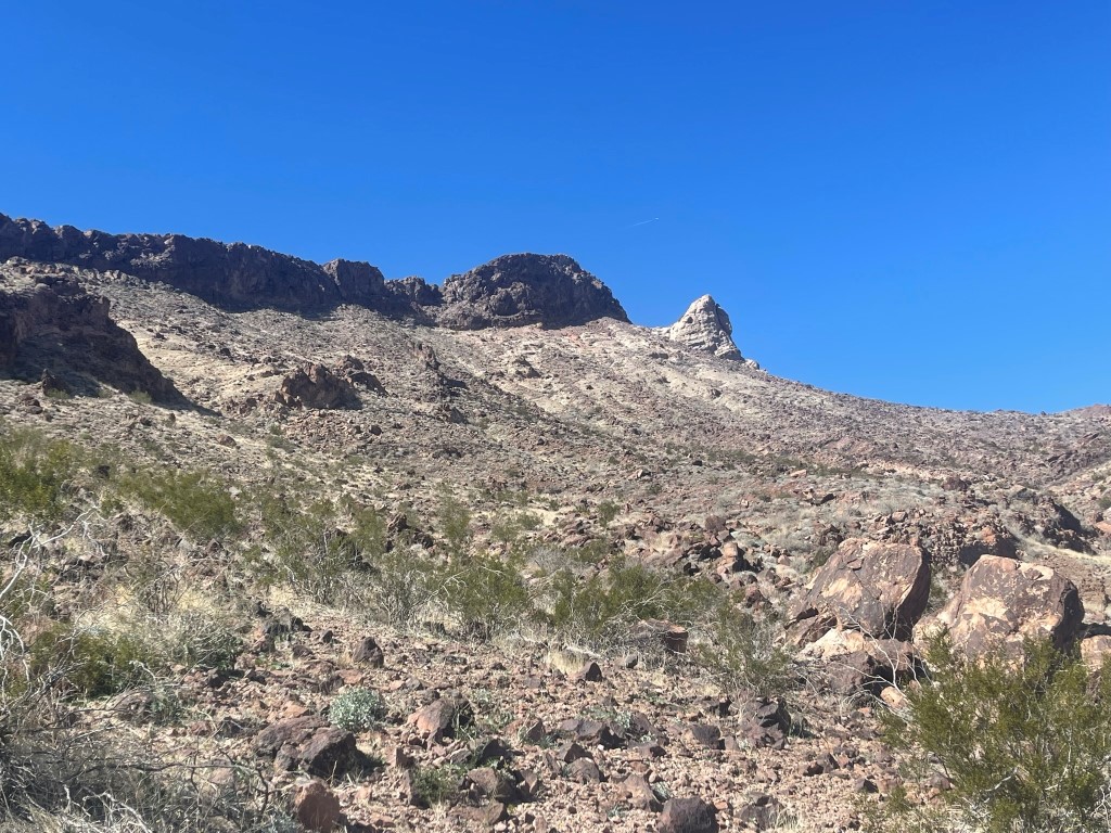
We climbed up the main gully and then went up to the right as we neared the top. We reached the summit at 6:58am at 2.75 miles. We found a tiny register book inside a cigarette case. It was placed in 2020 and most recently signed on January 19. We had an outstanding view of Umpah (left) and Mopah (right).

The sun was coming up behind us. We knew it was going to be a warm day.

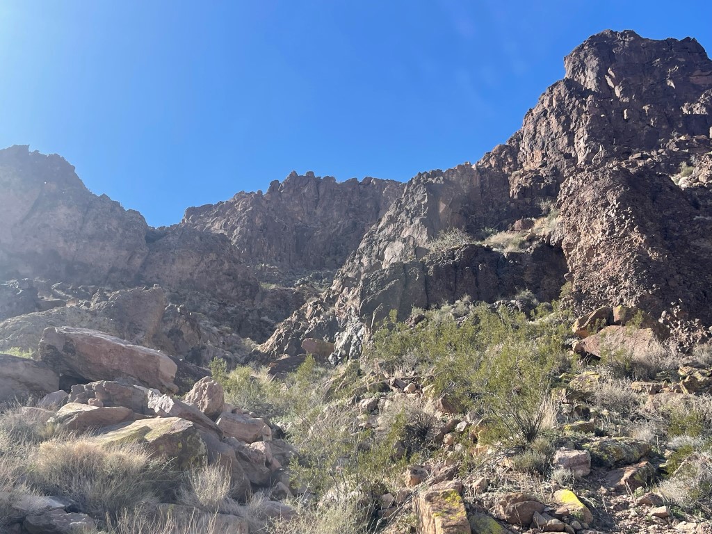
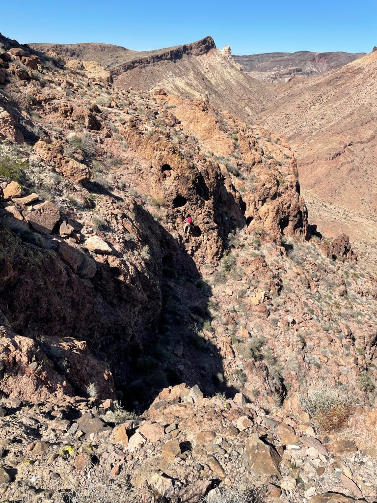
We continued southwest from the summit and descended a narrow gully.

We had to make 2 tricky downclimbs which might be considered high class 3. The first move involved a long step down which Garret had to help me with. Garret is taller than me, so he made quick work of this part. The 2nd move was a downclimb of a rock face with decent holds.
We reached the base of Peak 2657 and continued towards Mopah.
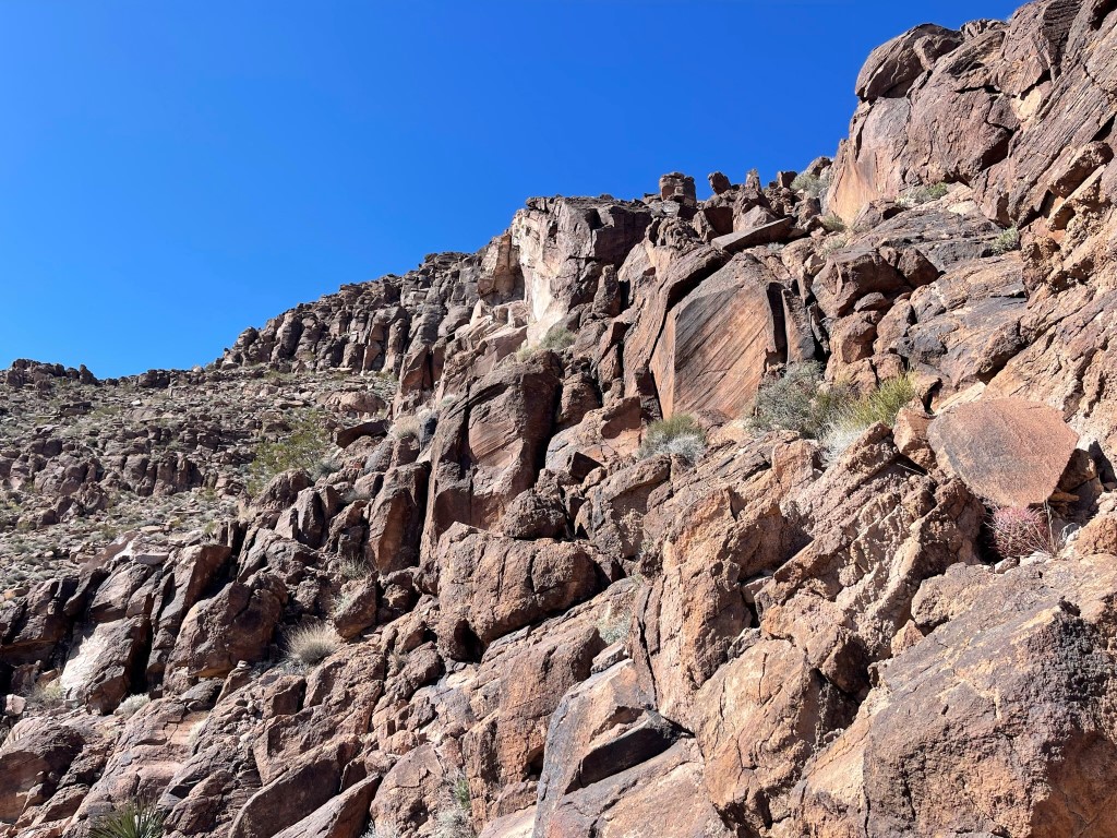
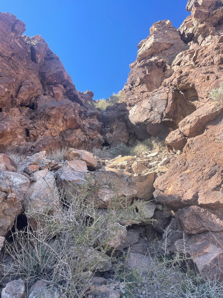
We climbed up steep scree to the base of Mopah and then went south.
We climbed west and then north up a steep gully.
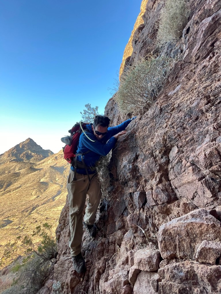
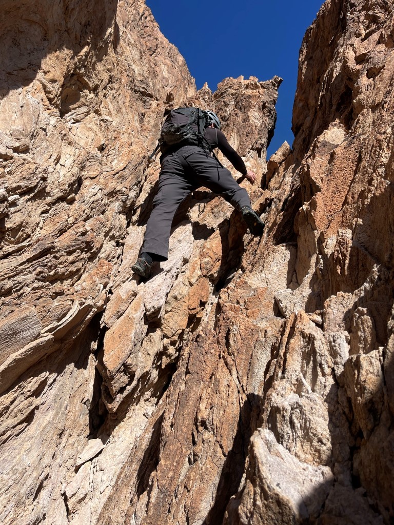
We then climbed up a class 3 crack. At the top of the crack there was a tricky move onto a rock and then a tight squeeze through a small rock window.
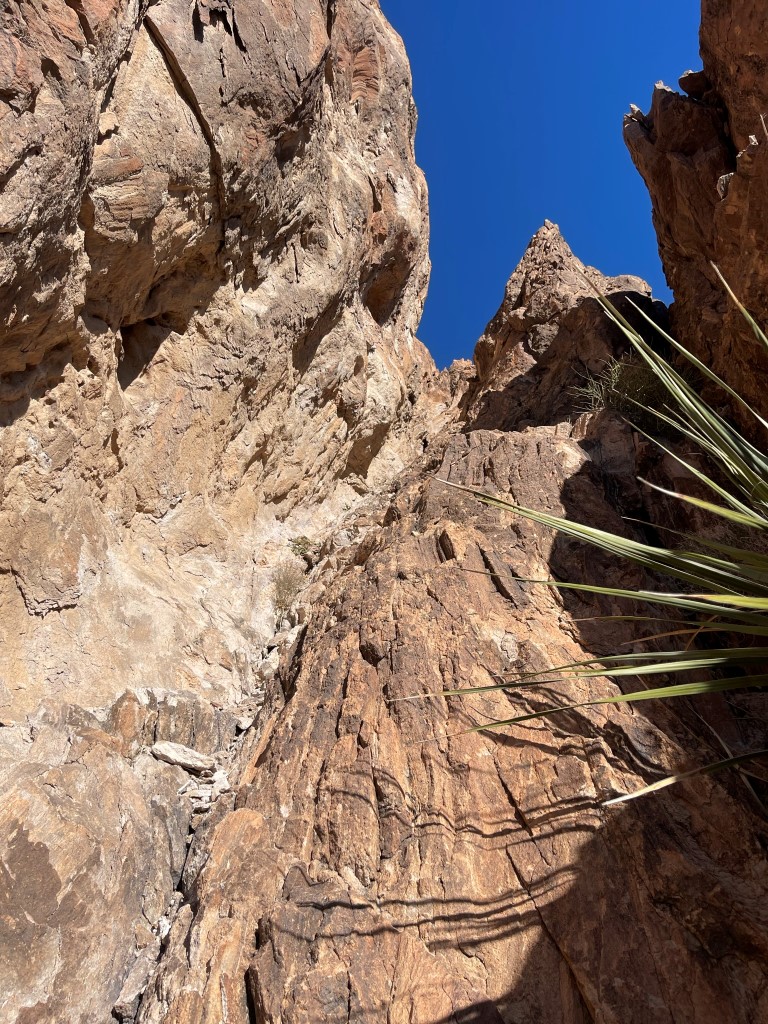
Just beyond the squeeze was the class 4 crux, which involved climbing up a 15 to 20 foot rock face. We found good hand holds and one critical foothold to haul ourselves up.
We hiked along a narrow ledge and then climbed class 2 rock to the summit. We were on top at 8:42am at 4.14 miles!
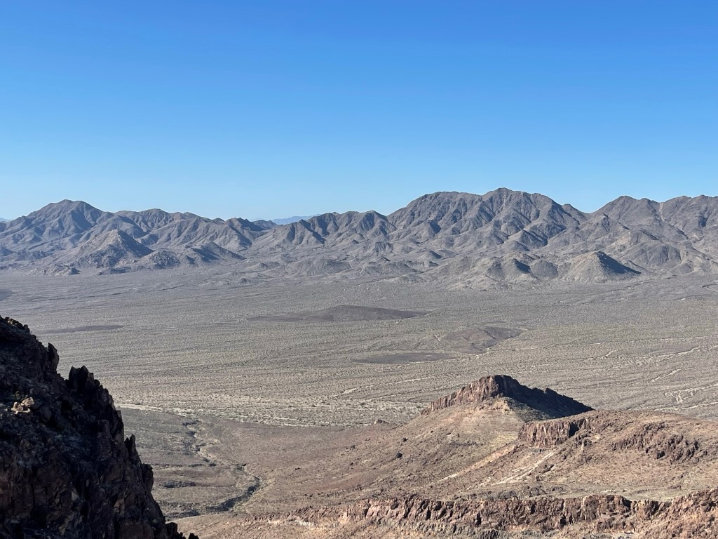
We signed the register which was placed in 1999. The most recent entry was from January 19. The views were good despite the low elevation. Crossman Peak above Lake Havasu to the east:

The Turtle Mountains to the west:
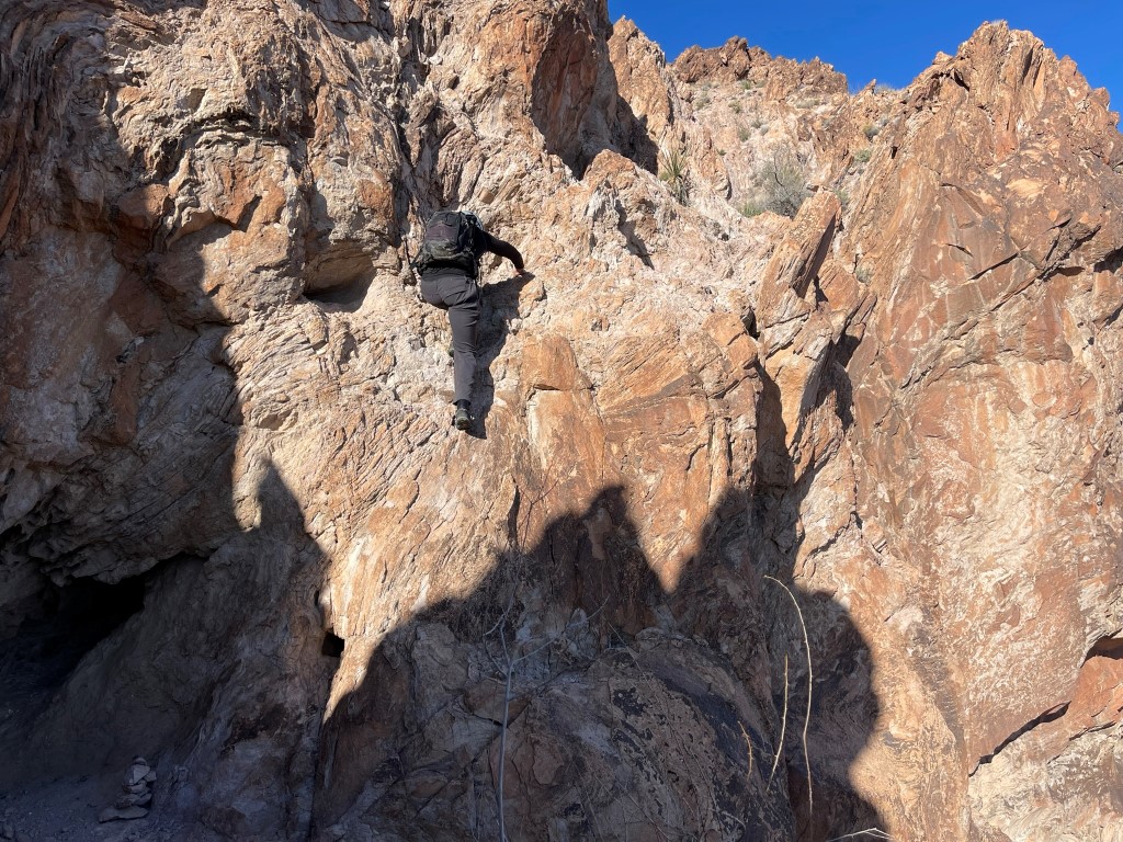
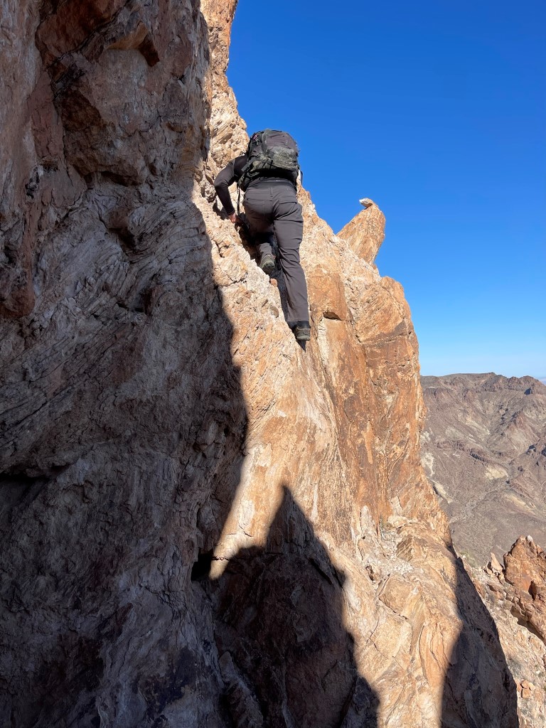
We made our way back down to the class 4 crux. We had brought a rope and harnesses with us in case we needed to rappel this section. We decided to check it out first and see if we felt comfortable descending without the rope. I went first and was able to lower my right foot down to the one good foothold while using the solid handholds. Garret went next:
We then made it through the squeeze and climbed down the class 3 crack. The top of this required some tricky downclimbing.
We climbed down the remainder of the gully and then hiked down a loose scree slope towards Umpah.
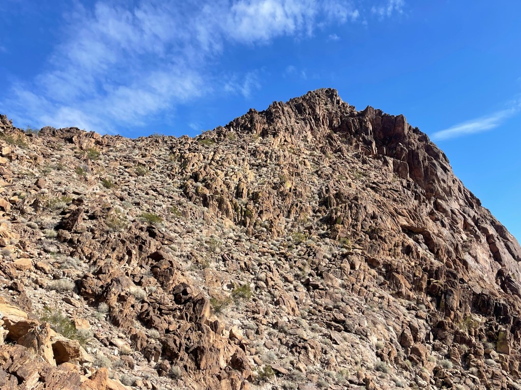
We headed straight for a gully on the northeast side of Umpah.
Initially the gully was pretty straightforward. There were a couple easy class 3 moves we had to make lower in the gully. We then reached a 20 foot high cliff that we had to scramble up. There were plenty of holds but the rock seemed like it could crumble. I would call it sketchy class 3. Garret and I took different routes and met at the top. From there we continued up the gully until we reached a small notch. We then did an uphill traverse to the south side of the peak.
We scrambled up to the summit ridge on class 3 rock from the south. From there it was an easy boulder hop to the summit.
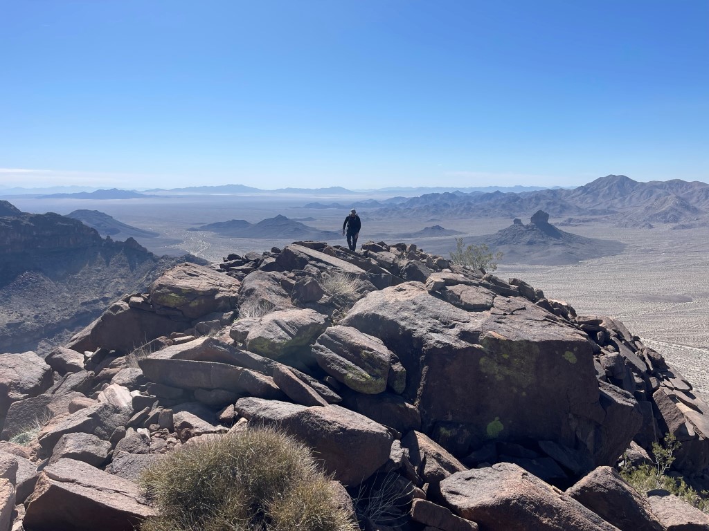
We reached the summit at 10:59am at 5.8 miles! We signed the register which was placed in 2016. It was most recently signed on January 19 by the same climber on Mopah. Looking north at Mopah which is 23 feet lower:

We then climbed back down the traverse, through the notch, and down the gully again. We found a different spot to climb down the class 3 crux. It had a decent sized ramp we were able to take most of the way down with just a few extra steps at the bottom.
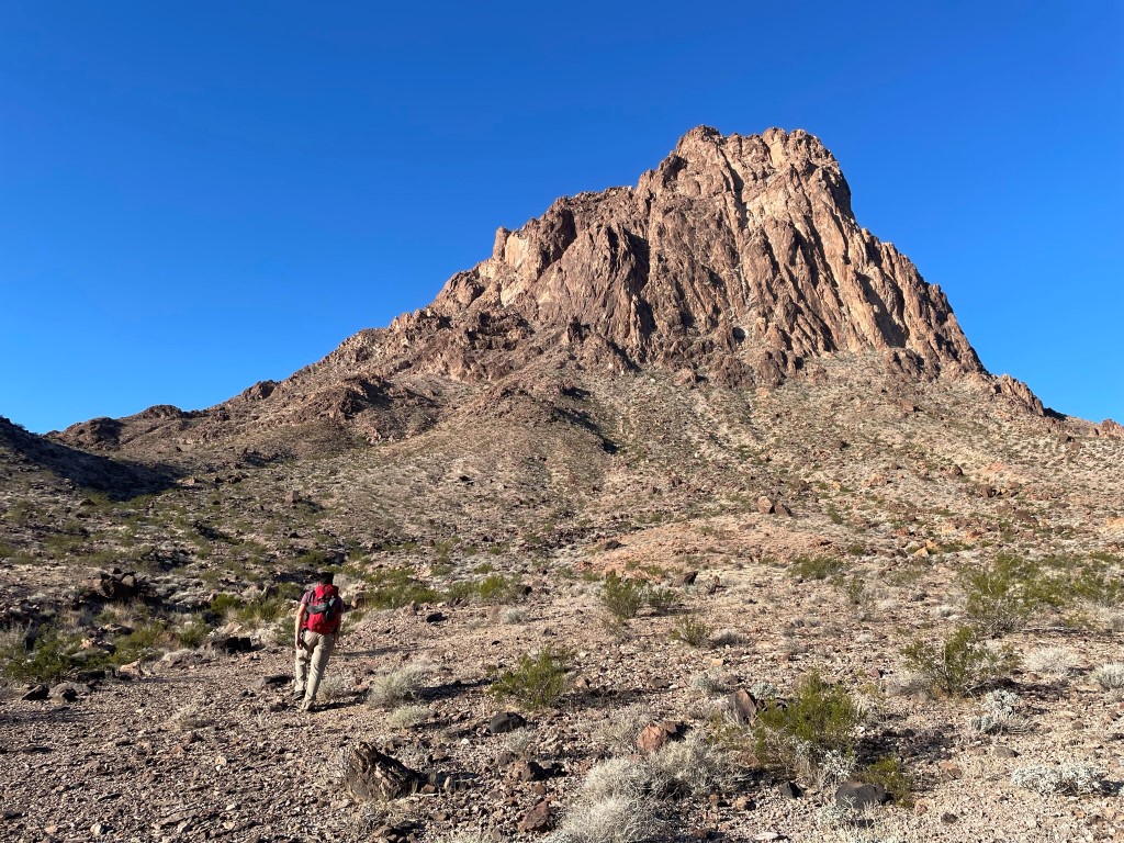
We reached the bottom of the gully and went our separate ways. Garret wanted to get back to the car so he could climb Crossman Peak in Arizona before heading up to Las Vegas for work. I was going to stick around and climb a few bonus peaks before heading home to San Diego. I hiked northwest towards Mopah West (3068 feet).
Mopah West was mostly just a steep slog. Near the top I made a low class 3 move onto the cliff band and then another low class 3 move through a small weakness in the cliff.
It was a short walk to the summit once I was above the cliff band. I reached the top at 1:03pm at 7.24 miles! I did not locate a register, but I did enjoy the view of Mopah and Umpah:

I climbed down through the cliff band and hiked southeast and then east down a wash that seemed like it went on forever.

I headed directly east towards Peak 2553 which would be the final peak of the day.

I hiked directly up the slope to the summit ridge, and then climbed south along the class 2 ridge to the top.
I reached the summit at 2:16pm at 8.95 miles! I had one final good look at the 2 stunning desert peaks.

I climbed down the other side of the peak and reached a large wash at 9.47 miles. From there it was about an hour hike back to the car, which I reached at 4:02pm. Stats for this hike were 12.75 miles, 5180 feet elevation gain, and 10:27:44 total time.


