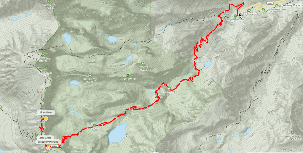
Mount Muir (14012 feet) and Discovery Pinnacle (13753 ft) are 2 minor peaks located along the Sierra Crest just south of Mount Whitney. Neither has the required 300 feet of prominence to be considered an actual peak, although Mount Muir comes close. Despite this, Mount Muir is an SPS peak and is counted among California’s 15 14ers (a list that includes the 11 official 14ers, Mount Muir, and 3 of North Palisade’s subpeaks). The usual route for Mount Muir is the Mount Whitney Trail since the peak is just a few hundred feet off of it. I had slept in my car in the overflow parking lot at Whitney Portal the night before after climbing Thor Peak the previous day. I began hiking at 5:36am from 8322 feet above sea level.
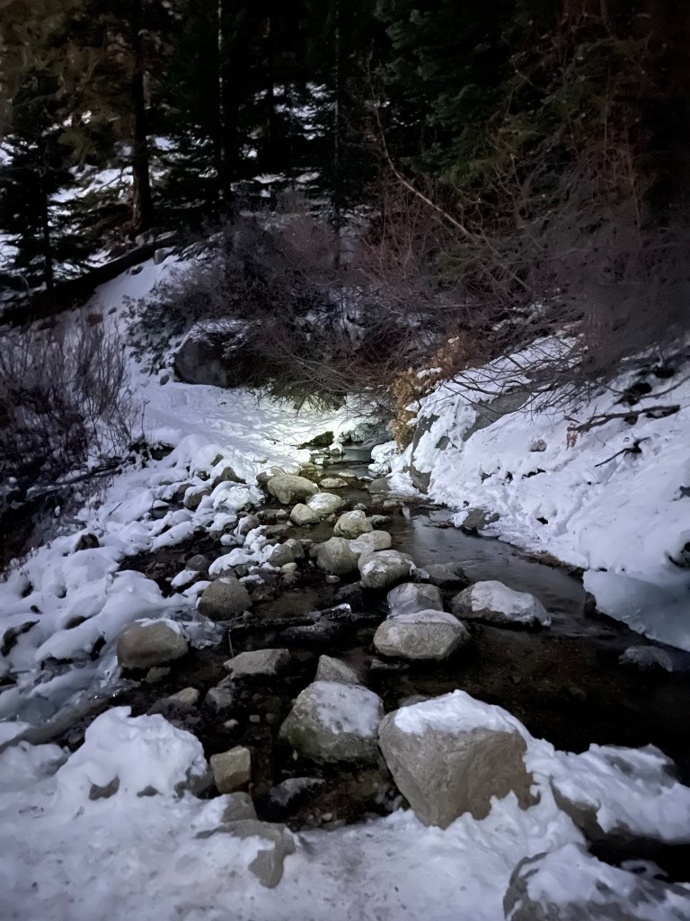
I set off on the Mount Whitney Trail in darkness as the trail made a big switchback northeast and then west. At 0.9 mile I crossed the North Fork Lone Pine Creek. I had taken the North Fork Lone Pine Creek Trail the day before on my approach to Thor Peak.
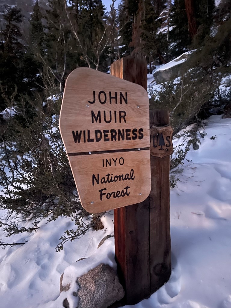
Shortly after that I passed the wilderness sign.
I hiked southwest up many switchbacks and then reached a small meadow just west of Lone Pine Lake. The snow wasn’t too deep yet and the trail was well established by previous hikers (it had been a few weeks since the first big storm of the year).

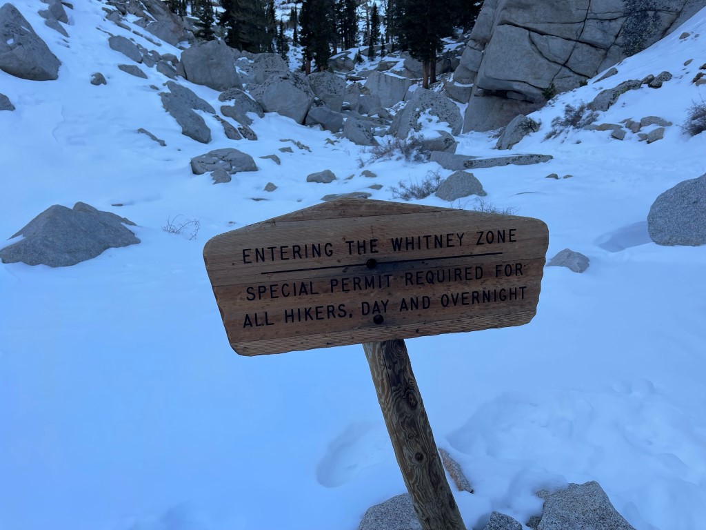
At 3.2 miles I entered the Whitney Zone.
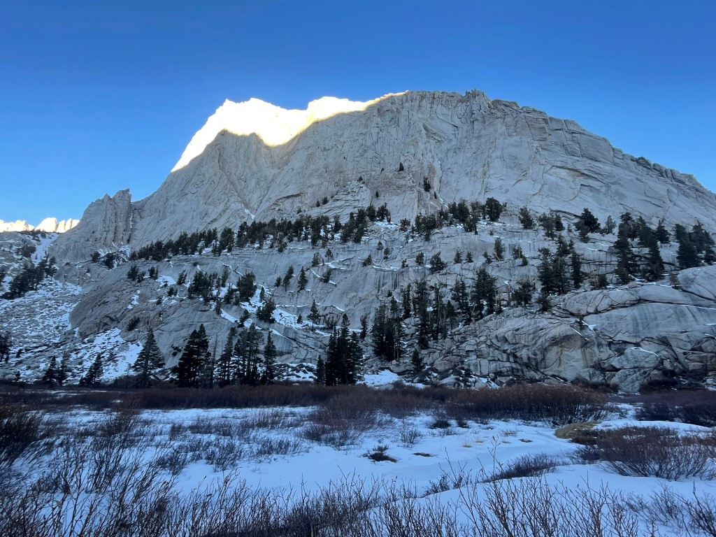
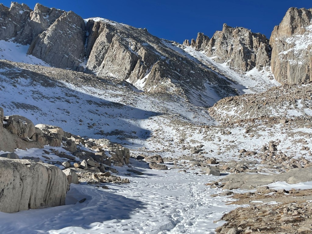
I passed the hulking form of Thor Peak to the north.
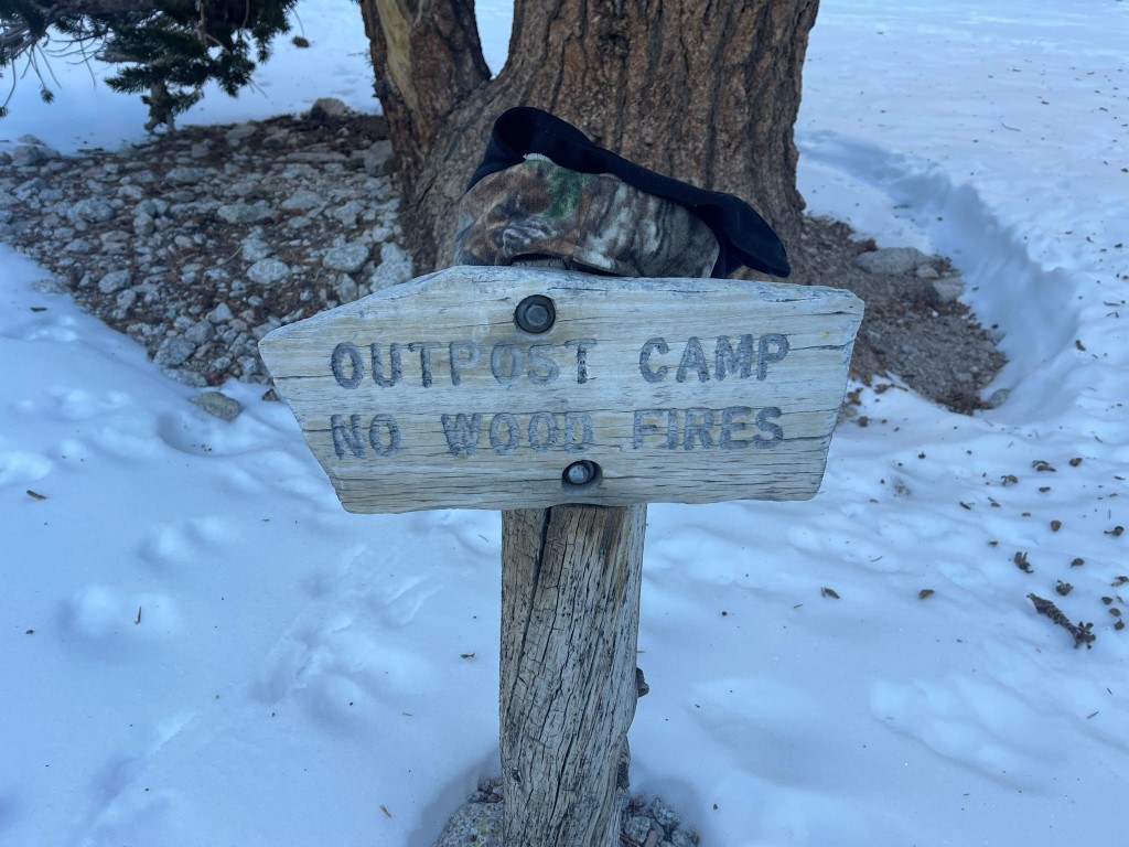
At 4 miles I passed Outpost Camp, the first of 2 popular backpacker campsites for those making 2 day attempts on Mount Whitney. I saw 2 tents set up just off the trail.
At 4.6 miles I reached frozen Mirror Lake, which I could barely see through the trees.

I hiked up switchbacks south of Mirror Lake.
I continued west along the trail with a good view of Mount McAdie rising above Consultation Lake to the south.

At 6.3 miles I reached Trail Camp, the second of the popular campsites. There were no tents set up here.
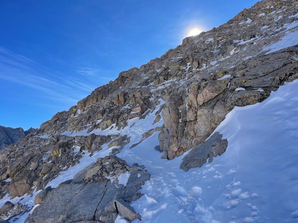
I proceeded to climb up the infamous 99 switchbacks above Trail Camp. The sun finally hit me which was very welcome after hiking in the cold shade all morning.
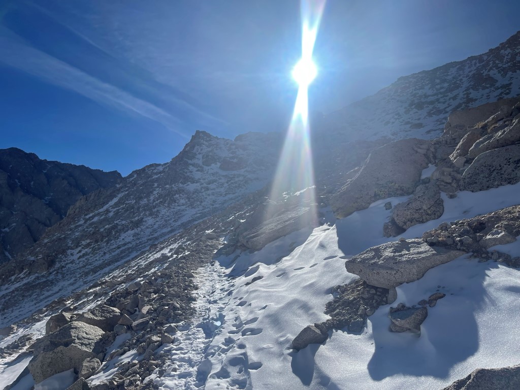
The switchbacks went on forever, which matched up with my recollection of the trail from my first (and only) summit of Mount Whitney in August 2018. I had crampons with me but did not use them since the trail was very well established through the snow. The snow was very dry and not icy at all.
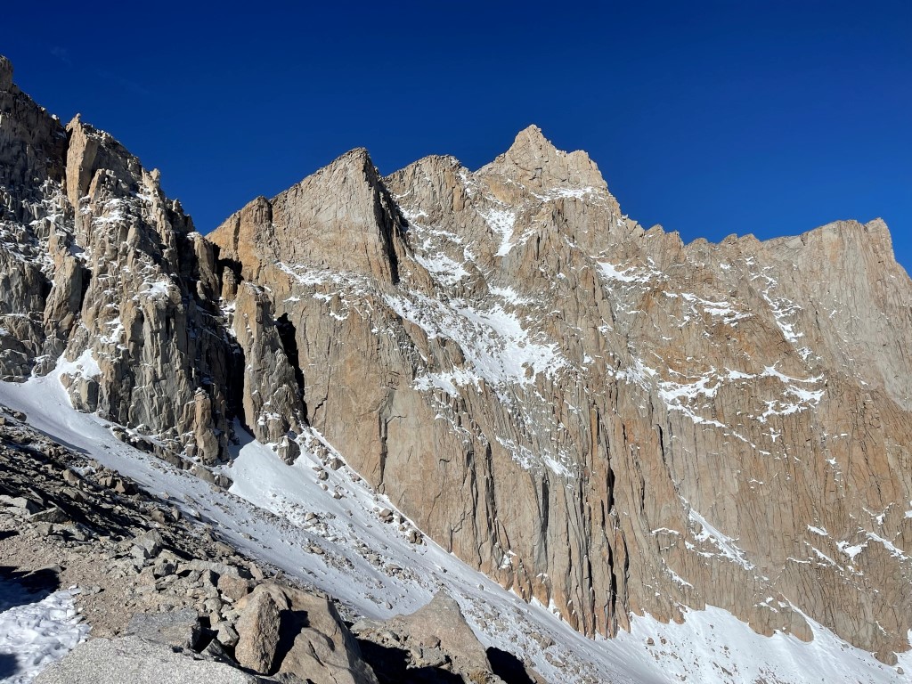
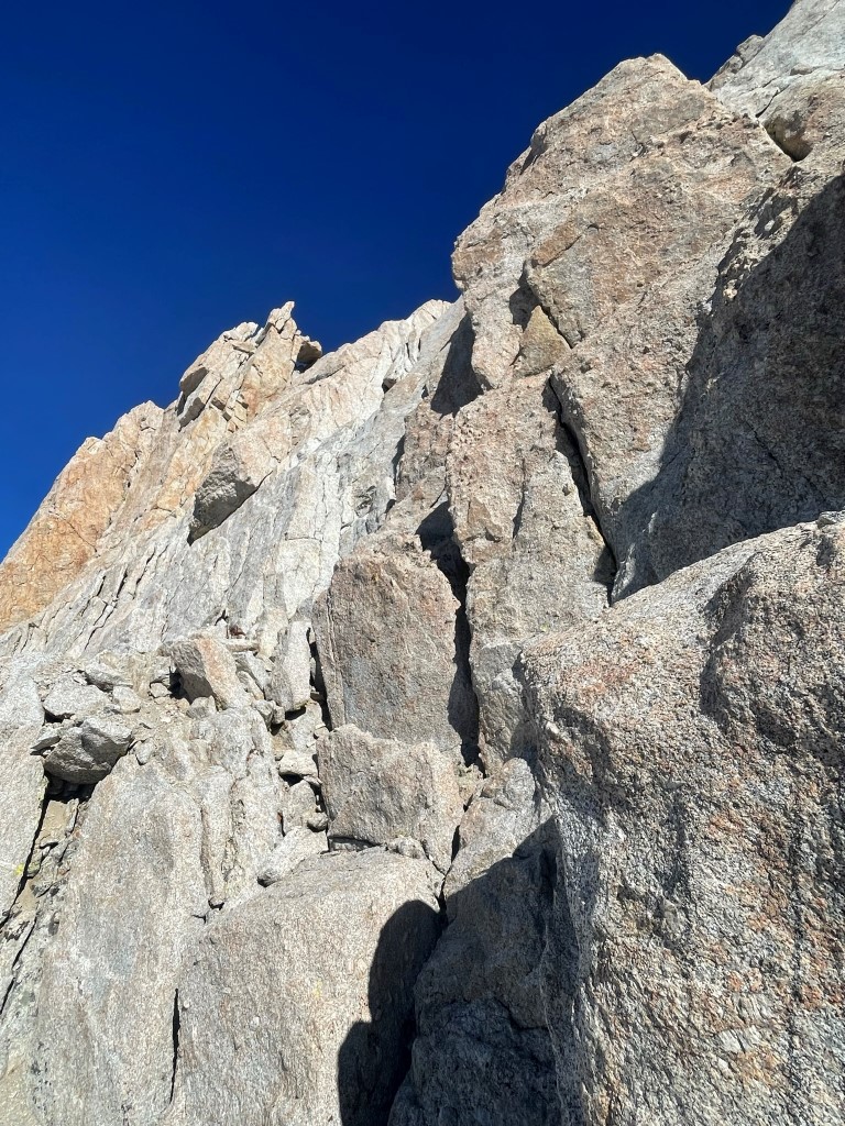
I had a good look at Mount Muir still high above me.
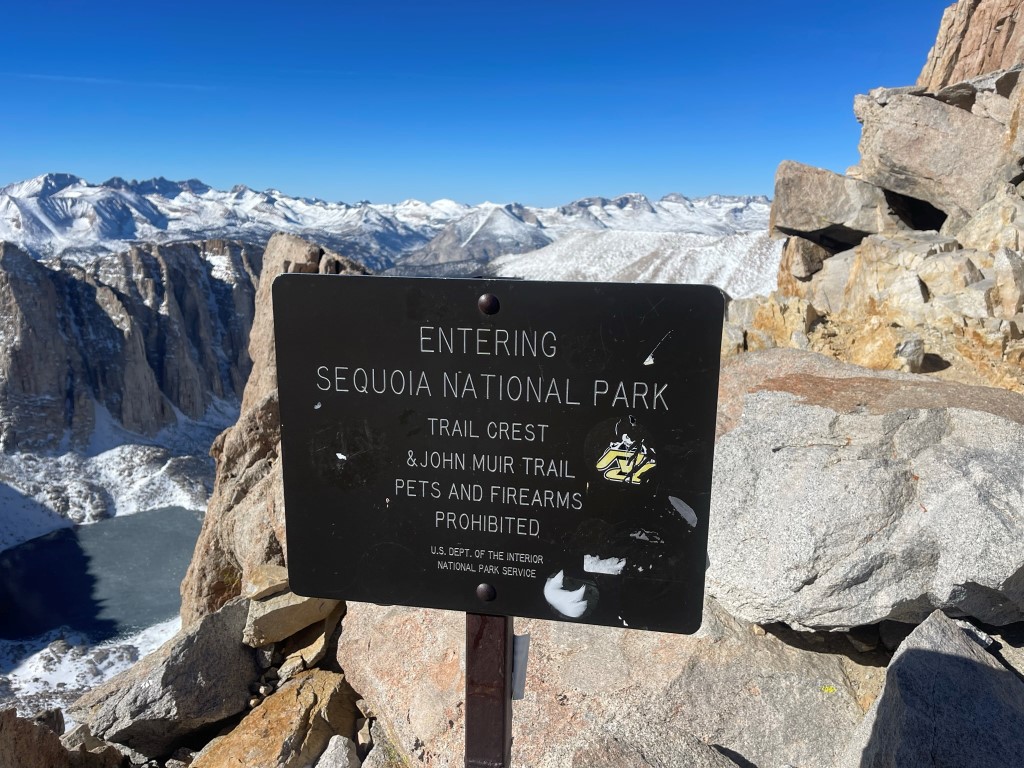
At 8.3 miles I reached Trail Crest which is located at 13600 feet. Trail Crest marks the boundary between Inyo National Forest and Sequoia National Park and is also where the John Muir Trail continues over the crest on its way north to Yosemite.
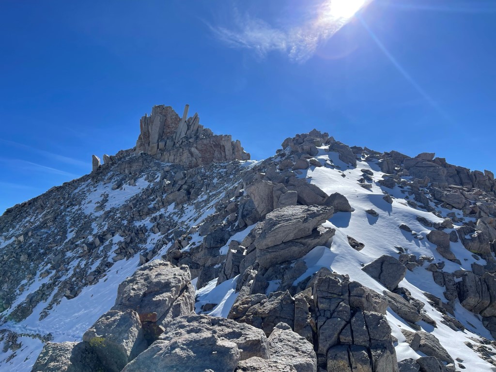
I turned south to make the quick class 2 scramble to Discovery Pinnacle.
There was one part where the narrow ridge was covered with snow. This picture was taken on the descent (hence the footprints already there).
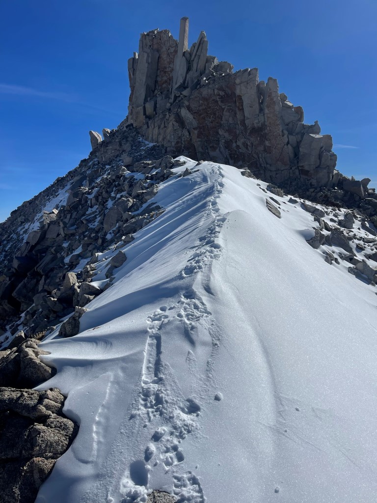
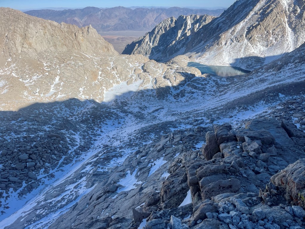
I reached Discovery Pinnacle at 11:10am at 8.4 miles! I did not locate a register. To the southeast I had an excellent view of Mount Mallory, Mount LeConte, and Mount Langley.

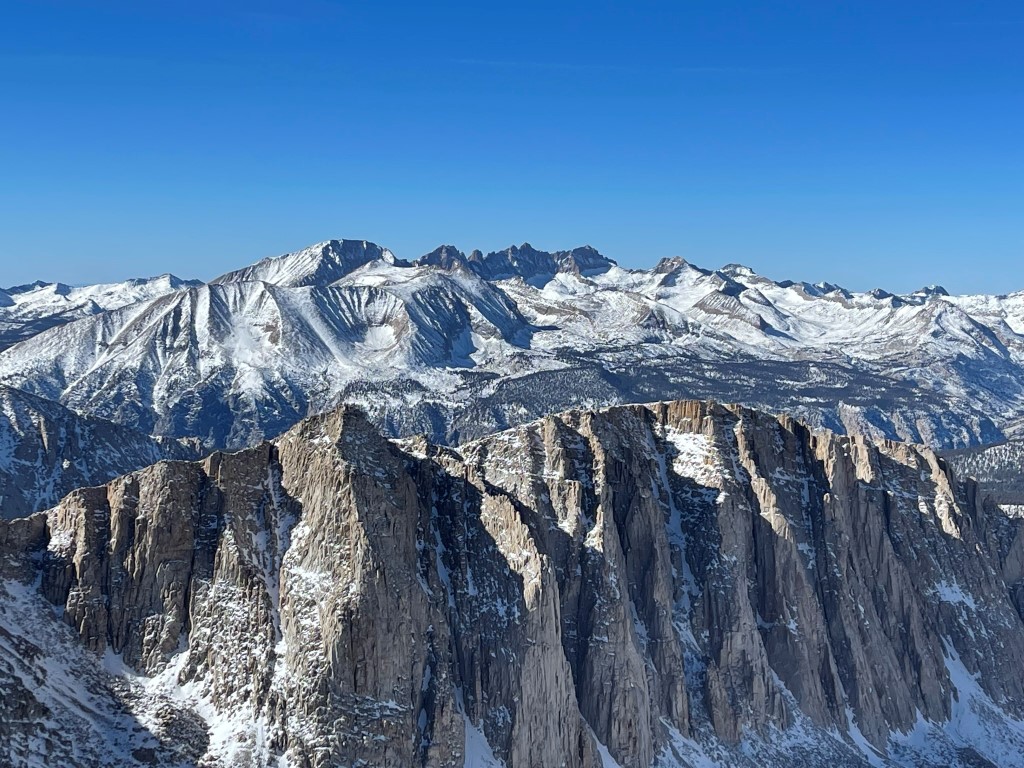
The Kaweahs to the west:
I descended back to Trail Crest and then continued north on the Mount Whitney Trail. Whitney’s summit is about 2 miles from this point. The trail was fairly dry beyond Trail Crest, no doubt due to its west facing aspect. At 9.1 miles I left the trail to climb up a chute to Mount Muir, which was 250 above the trail at this point.

I scrambled up dry class 2 talus to the base of the summit block. I then made 2 or 3 difficult but solid moves to reach the summit. I’d consider it Sierra class 3, but it could also be called easy class 4.
I reached the summit at 12:06pm at 9.2 miles!
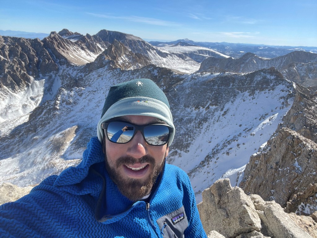
I signed the register which was placed in 2020. The most recent entry was from October 16. There was an icy breeze but otherwise it felt very nice for 14000 feet in late November. Mount Whitney loomed about a mile and a half to the north:

Midway Mountain, Table Mountain, Thunder Mountain, and Mount Brewer to the west:

I began the long descent after a nice break on top.
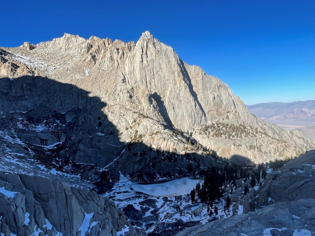
I saw a pair of hikers setting up camp at Trail Camp, and then 2 more groups of backpackers on their way up there a few miles below. I took this really nice picture of Thor Peak above Mirror Lake on the descent.
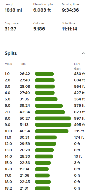
I reached the car at 4:48pm. Stats for this hike were 18.18 miles, 6083 feet elevation gain, and 11:11:14 total time.