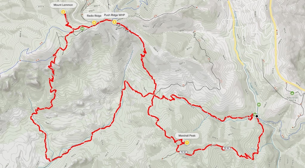
Mount Lemmon, Pusch Ridge Wilderness HighPoint, Radio Ridge, and Marshall Peak
Mount Lemmon, at 9159 feet, is located just north of Tucson and towers 7000 feet over the city and the surrounding desert. It would be the 4th out of 4 ultra-prominent peaks I climbed on my southern Arizona road trip. I had driven up the Mount Lemmon Highway the night before and camped on Incinerator Ridge Road. There are many good dispersed campsites on this road, as well as additional developed campgrounds along the highway. Unfortunately, one can take a paved road all the way to the Mount Lemmon Observatory on the summit. I wanted to hike at least partway to the top, so I drove to the Marshall Gulch Trailhead, which is located just south of Summerhaven, a small town of summer homes located at 7700 feet on the mountain. My plan was to take the Marshall Gulch Trail to the Aspen Trail, which I would then follow to the summit. I began hiking at 6:23am from 7473 feet above sea level. It was 35 degrees as I got started.

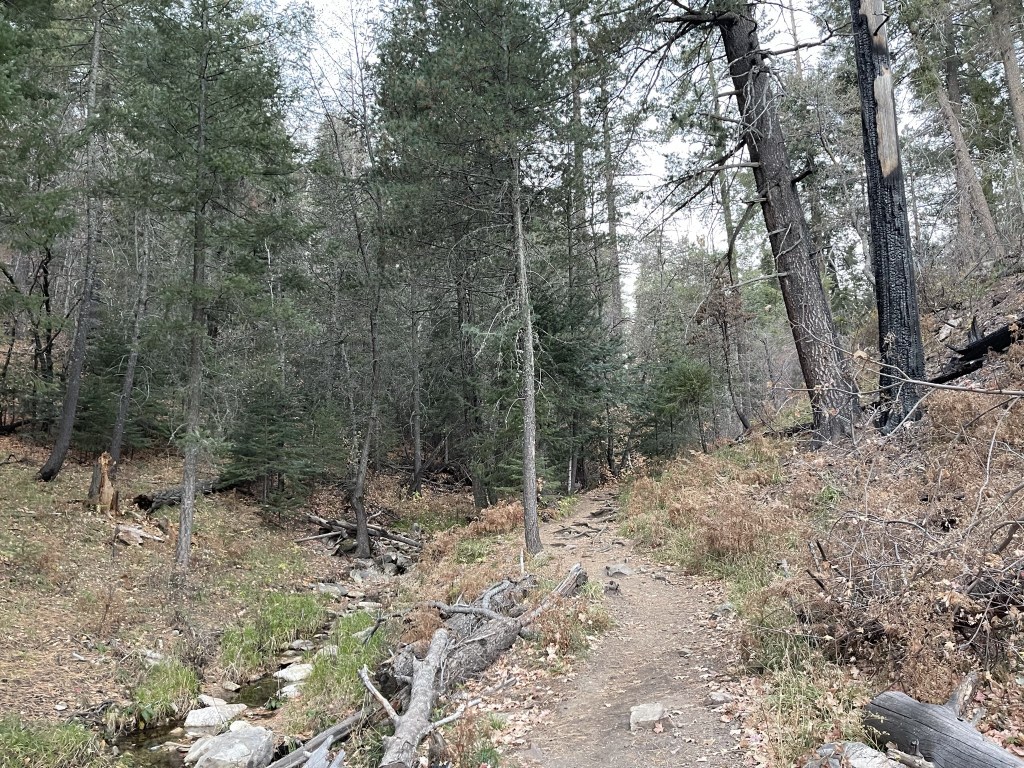
I made it 0.2 mile before I realized I was on the wrong trail and that I had forgotten my sunglasses again. I backtracked to the trailhead, grabbed my shades, and found the correct trail. The Marshall Gulch Trail is fairly obvious, but I got confused in the dark and had set off on a parallel trail that followed the creek.

I crossed to the south side of the creek at 0.8 mile.
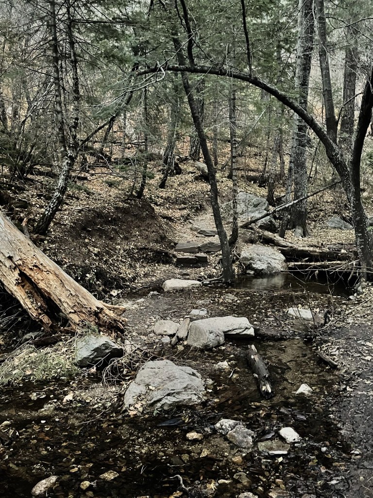
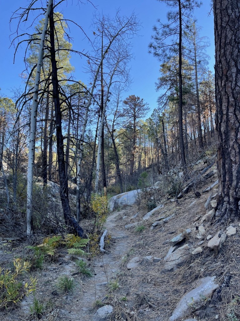
The area was very scenic as the trail followed the creek.
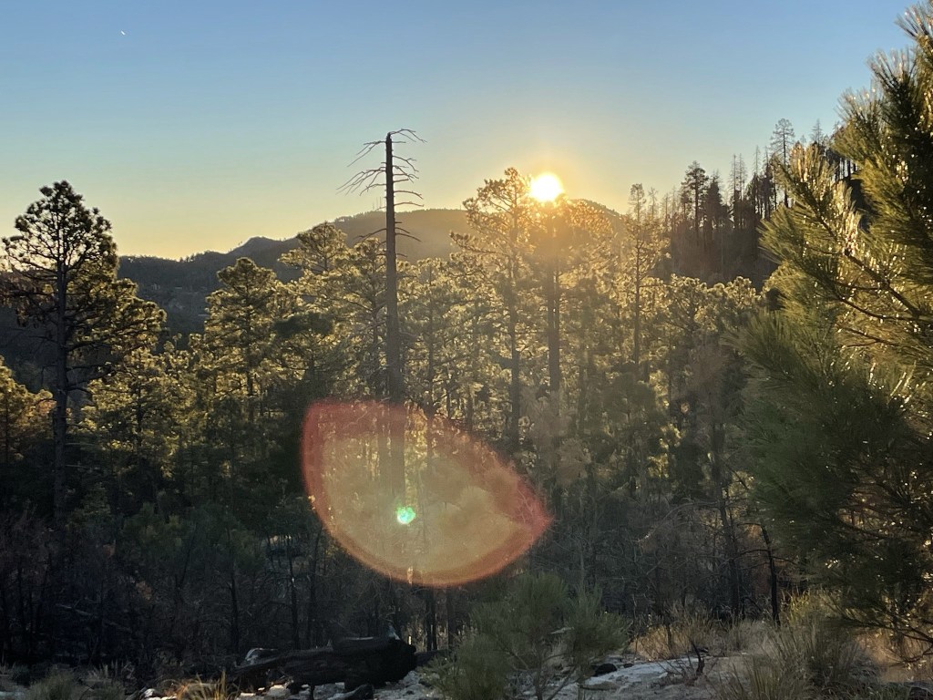
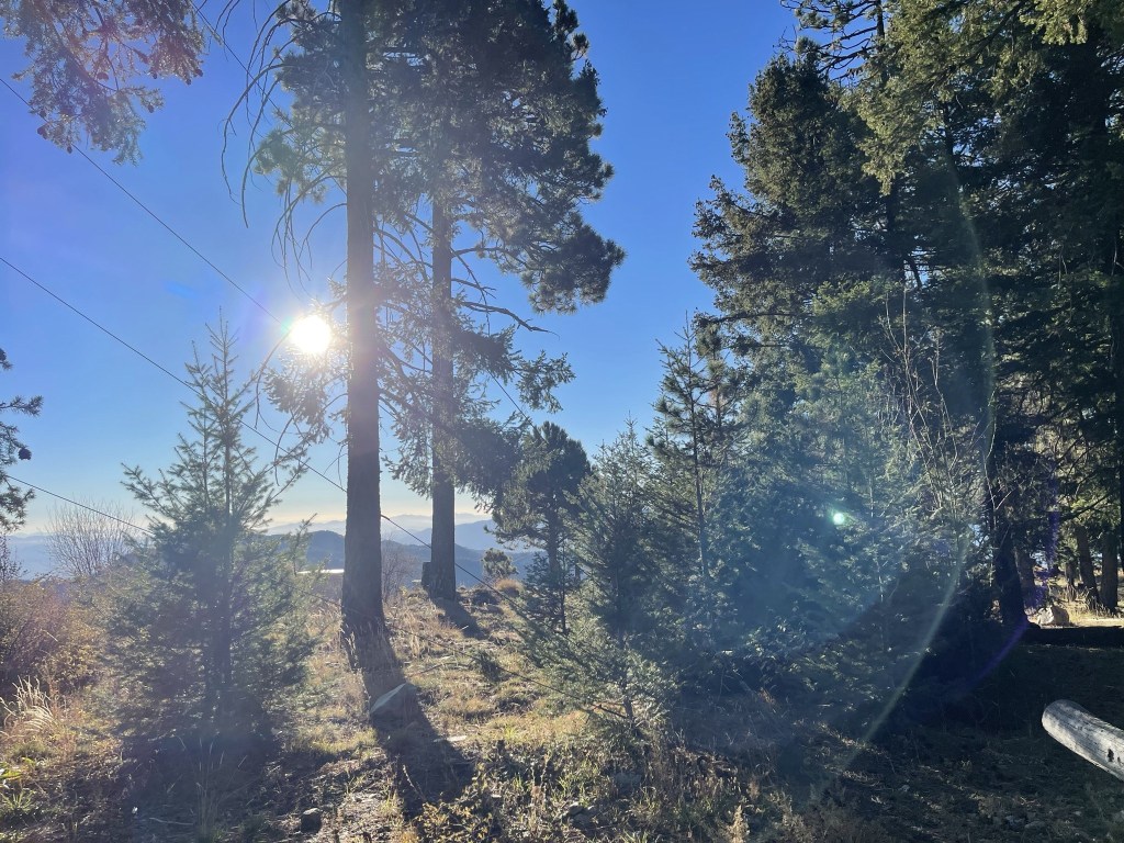
The sun began to rise behind me to the east.
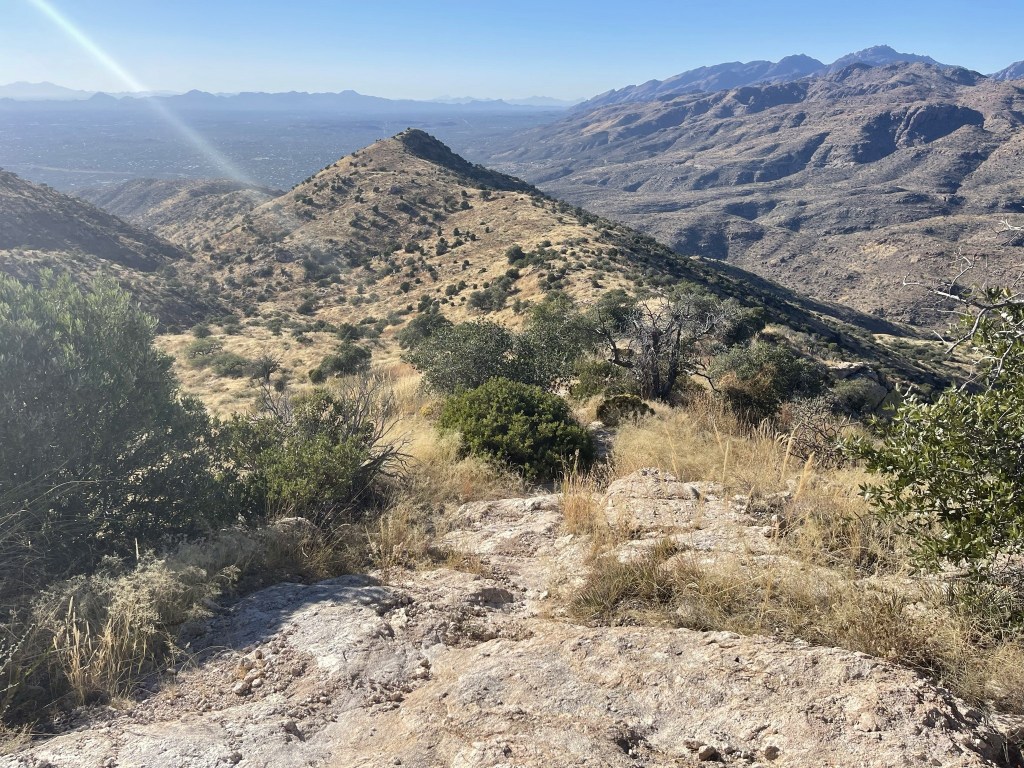
At 1.8 miles I reached a 5 way trail junction.
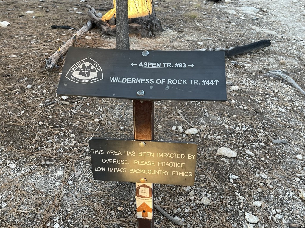
I went north on the Aspen Trail towards Mount Lemmon.

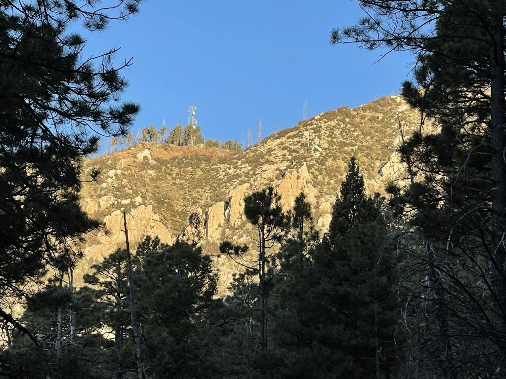
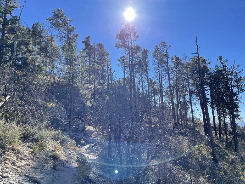
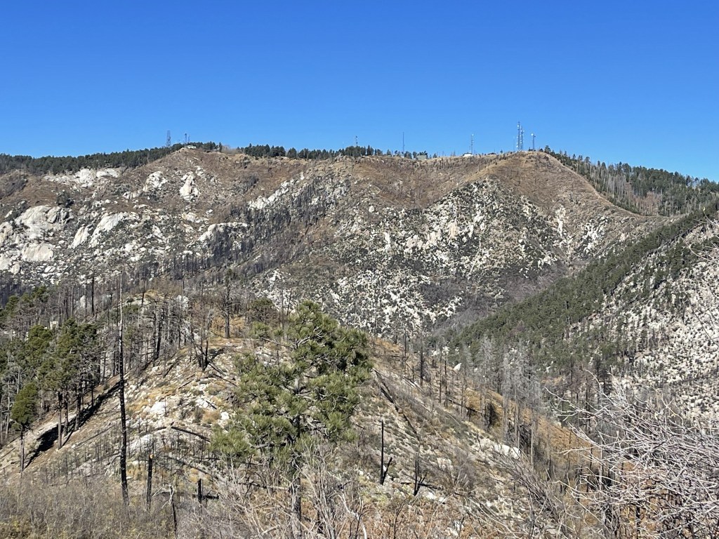
I could see the comm towers on the summit.
I approached the final slope below the summit.

I ascended directly up the steep slope. I realized about halfway that the trail was actually making switchbacks that I hadn’t noticed, but I just continued climbing straight up. I also saw a deer as I neared the top.

I finally reached the summit plateau at 2.9 miles. The Pusch Ridge Wilderness Highpoint (9000 feet) was located behind one of the buildings according to Peakbagger. The highpoint itself was not obvious, and there was no cairn or register to mark the spot.
I turned southwest and hiked past more towers and buildings.
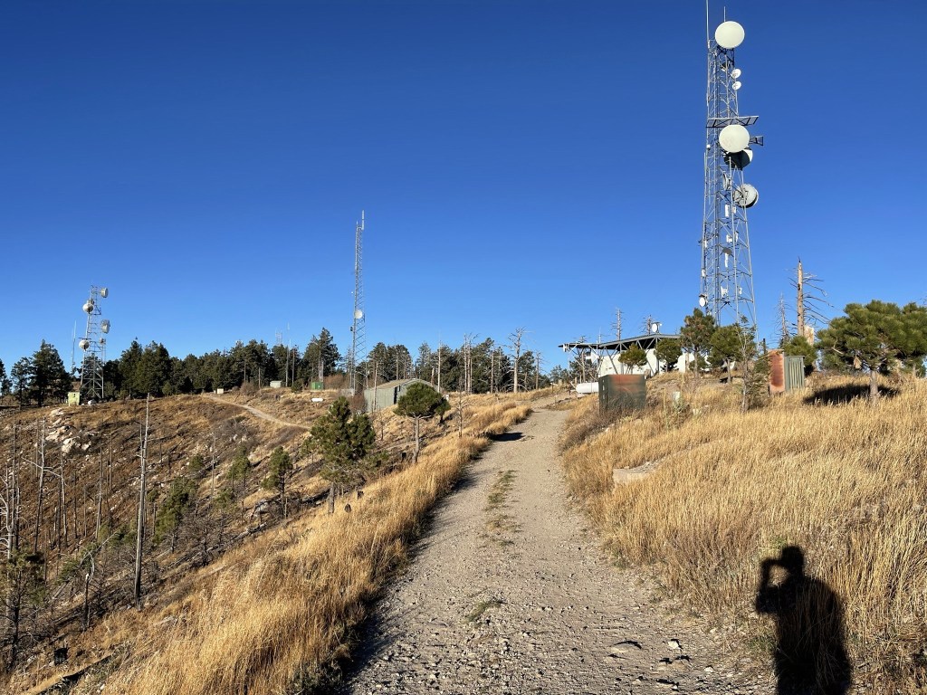
At 3.2 miles I reached a small prominence called Radio Ridge (9040 feet). There wasn’t much to see here, and I had no clue why this “peak” is in the Peakbagger database.
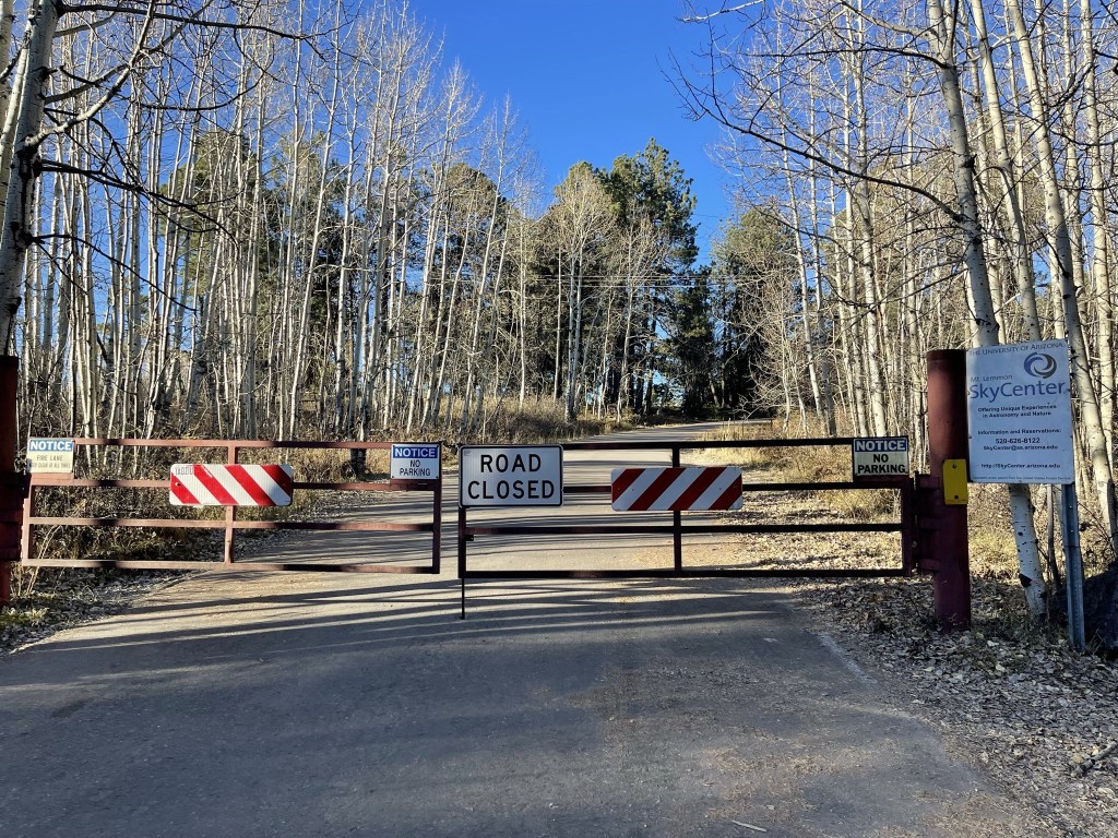
After Radio Ridge I got on the paved road that leads to the summit. I went around a gate at 3.4 miles.
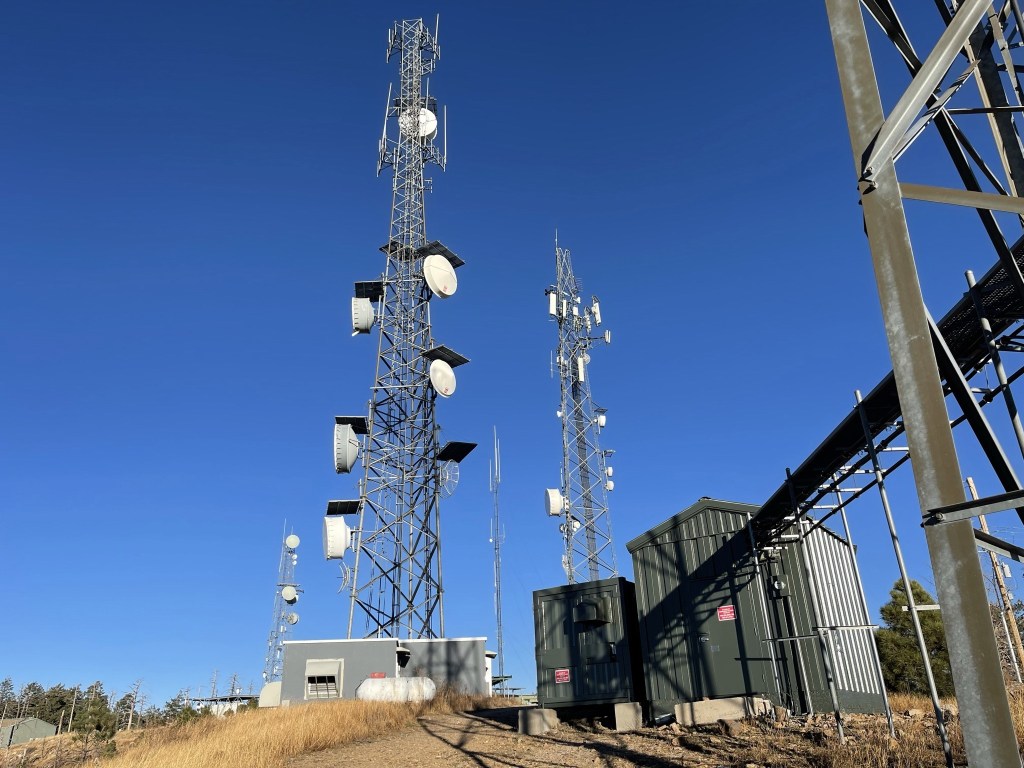
I soon reached the Observatory.
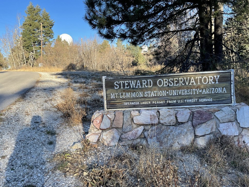
Unfortunately, the actual highpoint was behind a fence where the telescopes and whatnot are located.

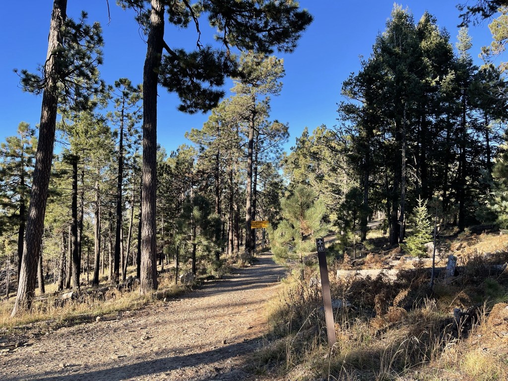
As others have done before me, I found a narrow use trail that led north through the brush along the fence. I found an opening in the fence and went through it. The summit area was flat and full of buildings, so it was difficult to tell where the highest natural ground was. I walked around to a few different spots and called it good. It was 8:08am and I was at 3.7 miles. There was a car parked outside one of the buildings, so I didn’t want to stick around too long. This was definitely the least spectacular ultra-prominent peak I had summited so far. The paved highway and summit buildings/towers are really a bummer. I ran into another person on the use trail as I hiked back to the paved road. He wasn’t dressed like a hiker, but he must have been going to the summit as well. I decided to take a different route down to make a loop hike out of it. I hiked down the road a short way and then went south on the Mount Lemmon Trail.
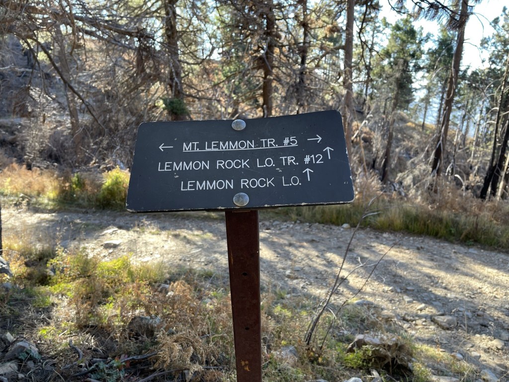
At 4.4 miles I turned left onto the Lemmon Rock Lookout Trail.
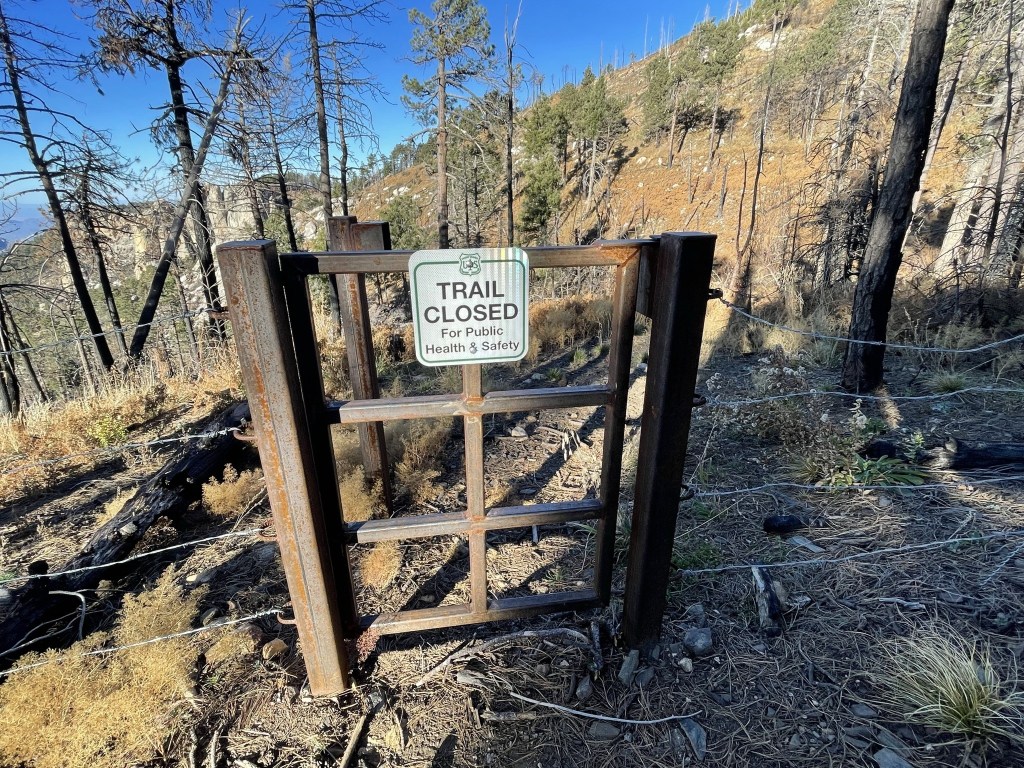
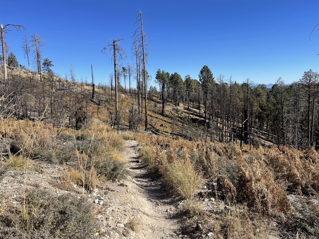
At 4.6 miles I reached a locked gate. Apparently, some of the trails in the area were closed due to recent wildfires, but it was my understanding that the closures weren’t enforced and that people were still hiking the trails.
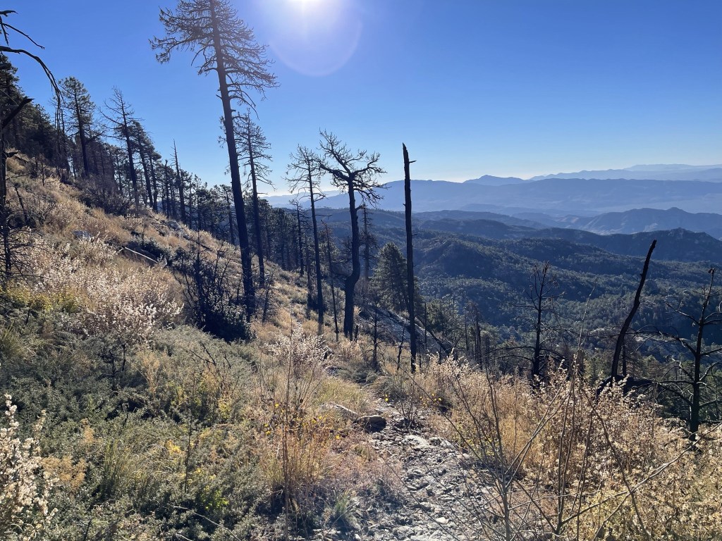
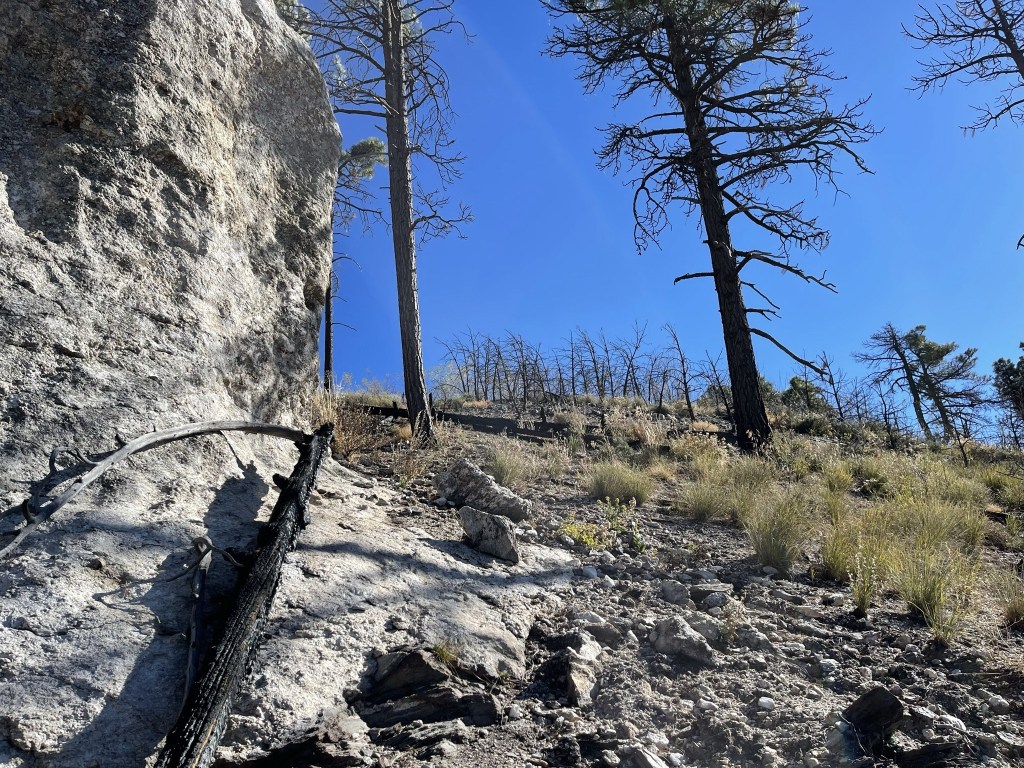
The trail began to descend steeply to the south as it made switchbacks down the burned out slope.
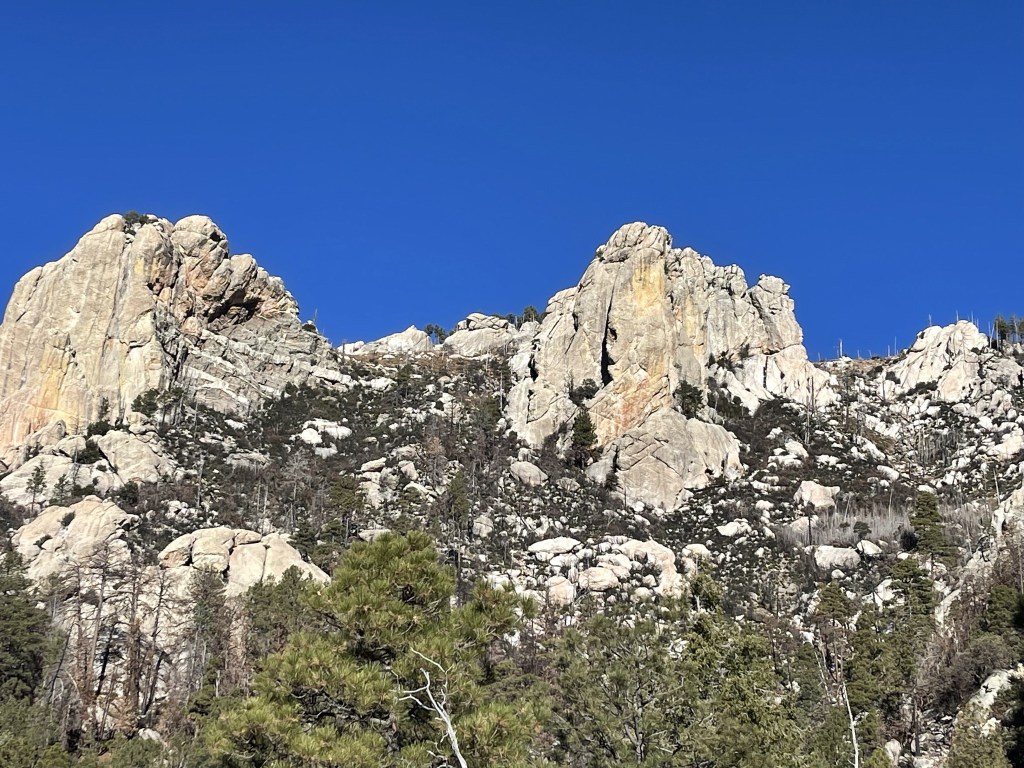
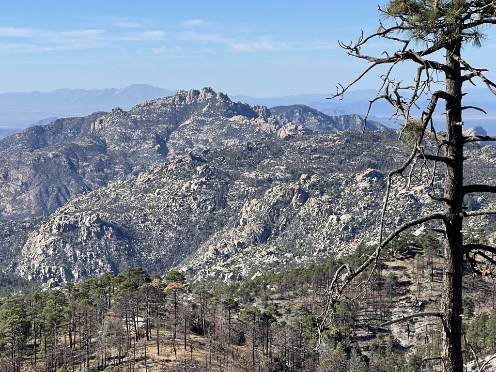
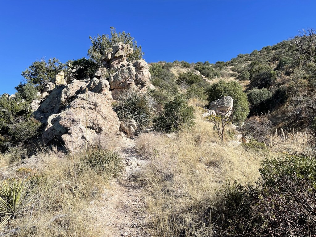
There were some impressive rock formations nearby.

They looked even impressive from below.
There was tons of deadfall on the trail which I assumed is why it was closed. I then crossed Lemmon Creek.

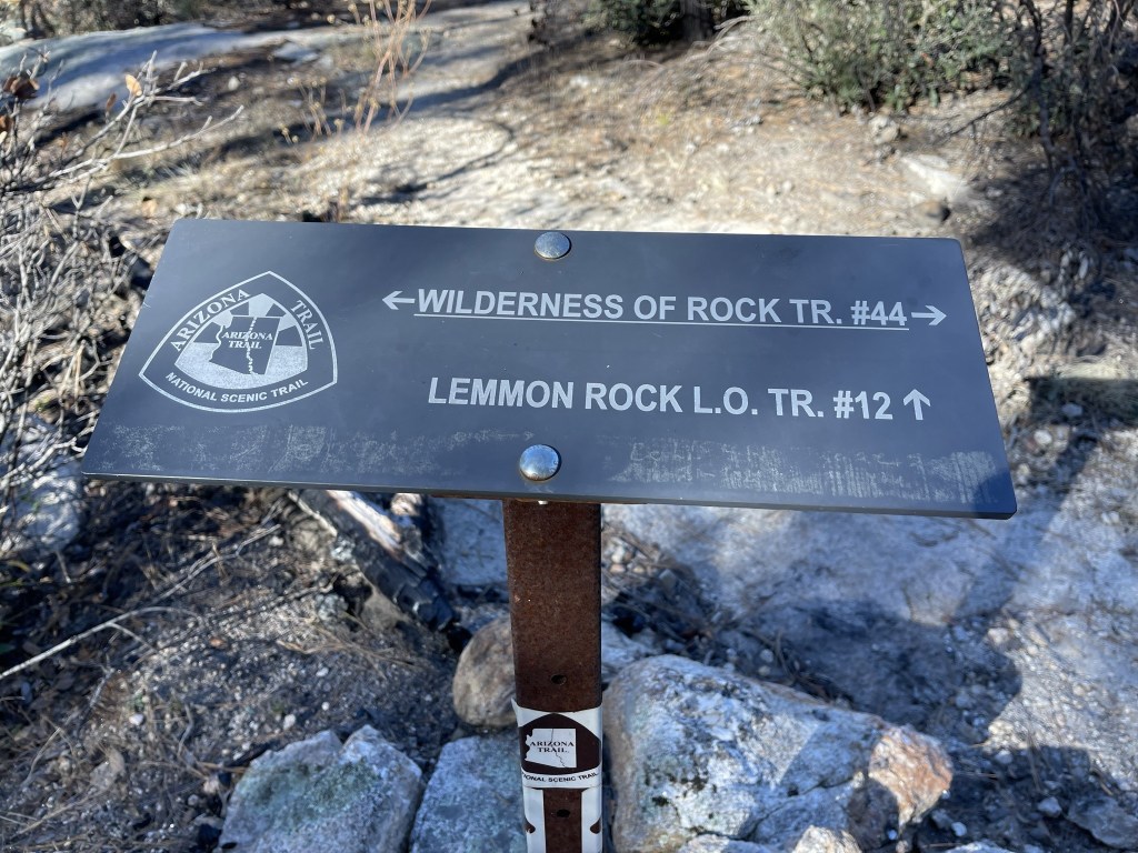
At 6.4 miles I turned left (east) onto the Wilderness of Rocks Trail. I had descended nearly 2000 feet from the summit to this point.
I hiked east as the trail gradually gained elevation.
At 8.1 miles I reached the same 5 way junction from early in the hike. Instead of heading straight back on the Marshall Gulch Trail, I turned right onto the Aspen Trail which would take a longer and more circuitous route back to the trailhead. I also intended to climb Marshall Peak (8280 feet) along the way.
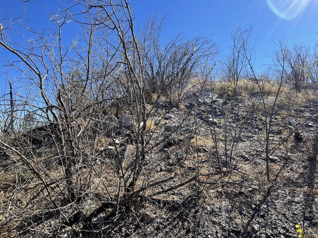
I started to see some other hikers out as I hiked south on the Aspen Trail. I left the trail at 8.8 miles to climb Marshall Peak.
It was a short climb, so I figured it would be a quick up and down. However, the summit area was infested with catclaw so dense that I could not reach the highpoint. Still, I was very close and my head was certainly above the highest ground so I counted the summit anyway. It was 10:26am and I was at 9 miles.
This is looking north at Mount Lemmon:
Cathedral Rock and Mount Kimball to the southwest:
I made my way back down and reached the trail at 9.1 miles.
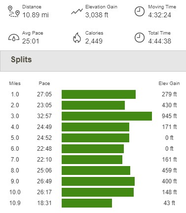
From there it was a quick walk back to the trailhead. I reached the car at 11:08am. This hike totaled 10.89 miles, 3038 feet elevation gain, and 4:44:38 total time.
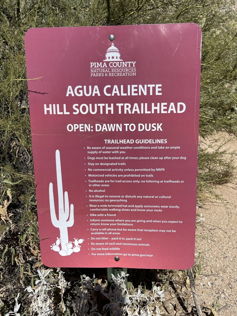
Agua Caliente Hill
I was originally planning to climb nearby Mount Kimball in the afternoon, but I decided that it would be cutting it close with the limited number of daylight hours I had left. Plus, I had a 27+ mile day planned for Sunday so didn’t want to burn out my legs on this day. I instead chose to climb Agua Caliente Hill, a 5369 foot peak with just over 1000 feet of prominence located between Mount Lemmon and Mica Mountain. The trailhead was located in a suburban neighborhood in the northeast part of Tucson. It took me about an hour to make the drive down the Mount Lemmon Highway to the trailhead. I began this hike at 12:33pm at 2912 feet above sea level.
It was 85 degrees as I got started, much warmer than it had been on the upper slopes of Mount Lemmon.
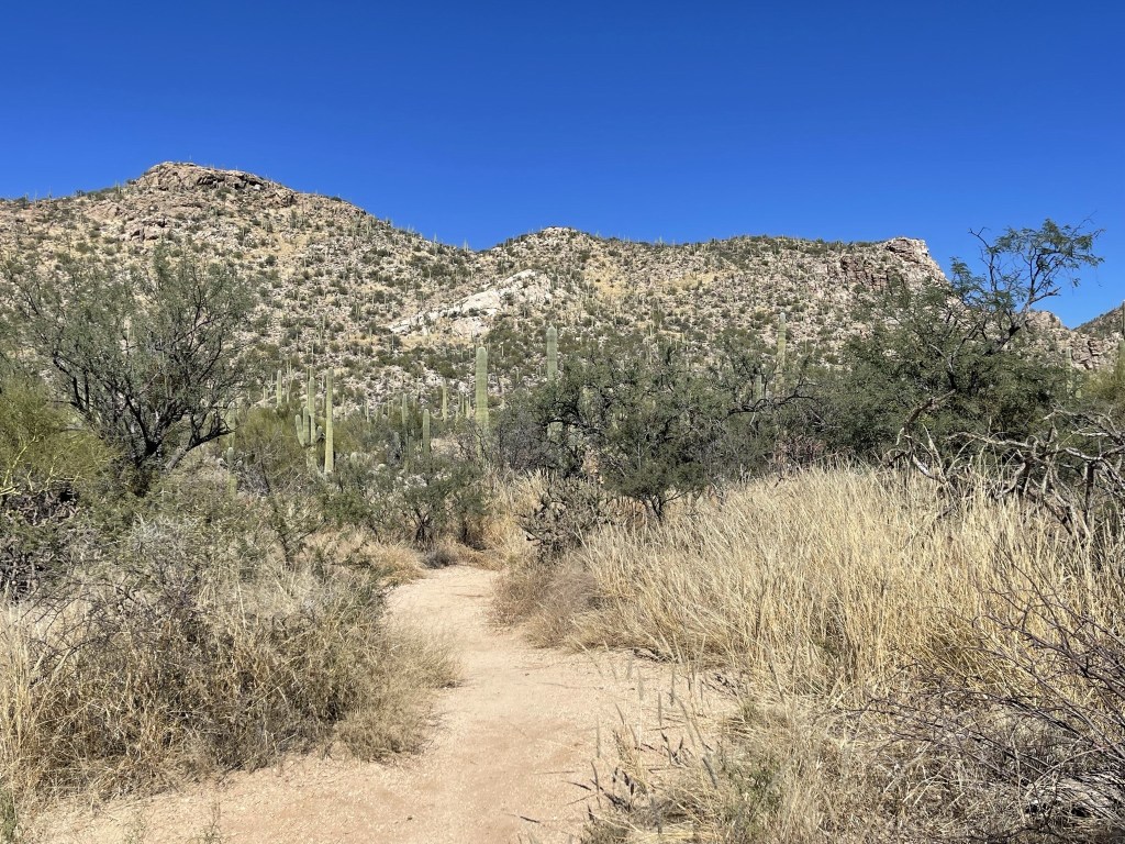
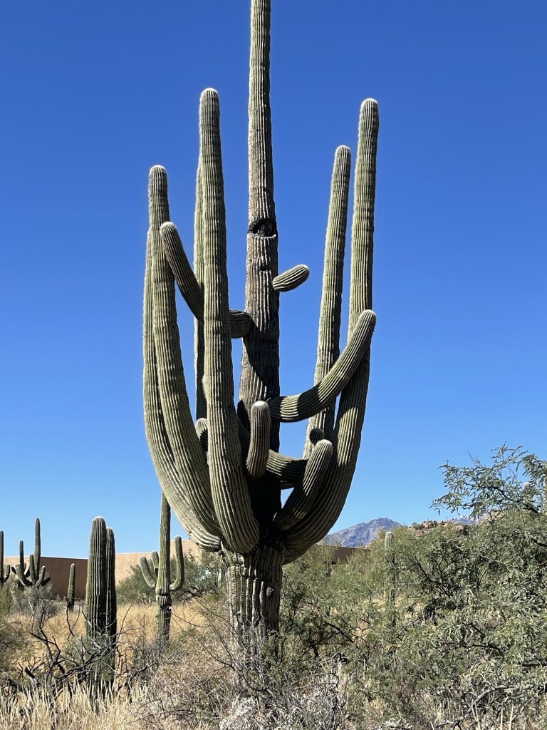
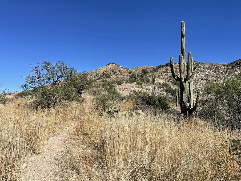
There were many impressive looking saguaro cacti on the lower part of the trail.
I passed a family of four as I hiked up some steps built into the trail. There were only a few other cars in the parking lot, so I didn’t expect to see very many hikers on the trail. I guess the heat was keeping people away.

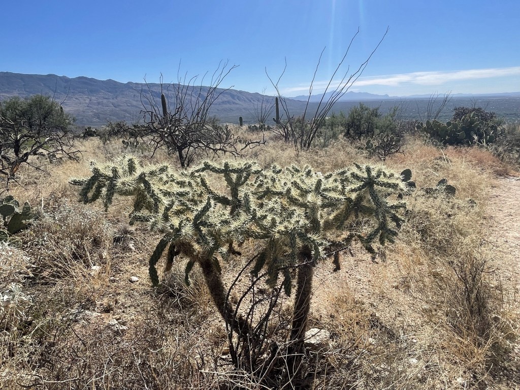
In addition to the saguaros there was the usual desert vegetation like cholla
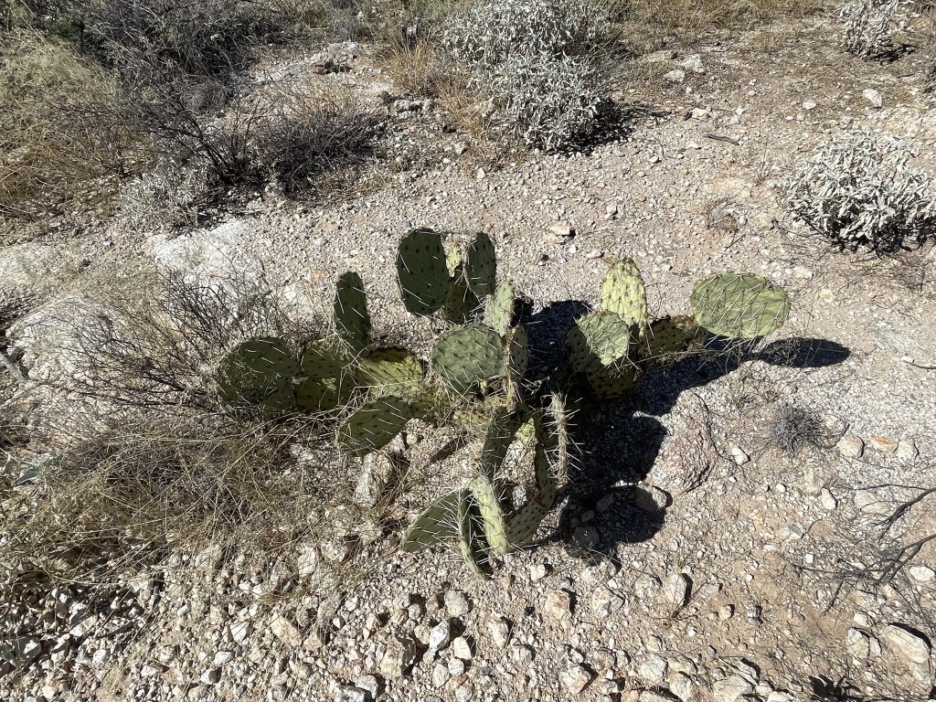
And prickly pear:
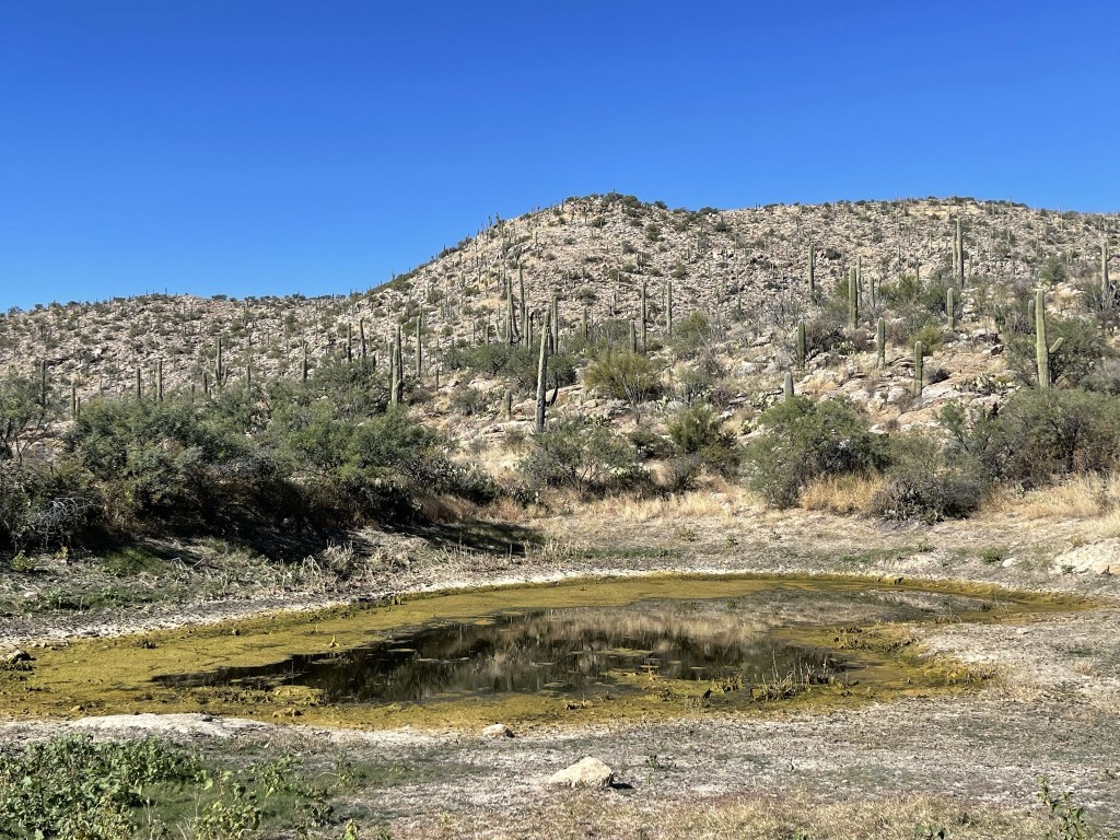
At 1.7 miles I passed a nasty looking pond.
I continued climbing steadily upwards.

At 2.7 miles I reached a trail junction and went right towards Agua Caliente Hill. Someone had left a packet of hot sauce on the trail sign.

The summit now came into view.
I was high enough now that the cacti were replaced by grasses and shrubs.
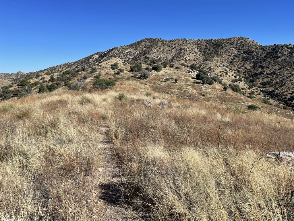
It was a bit cooler now as well.
The trail steepened as I neared the top.

I reached the summit at 2:35pm at 4.5 miles!

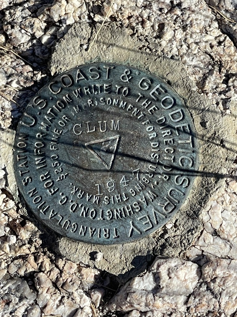
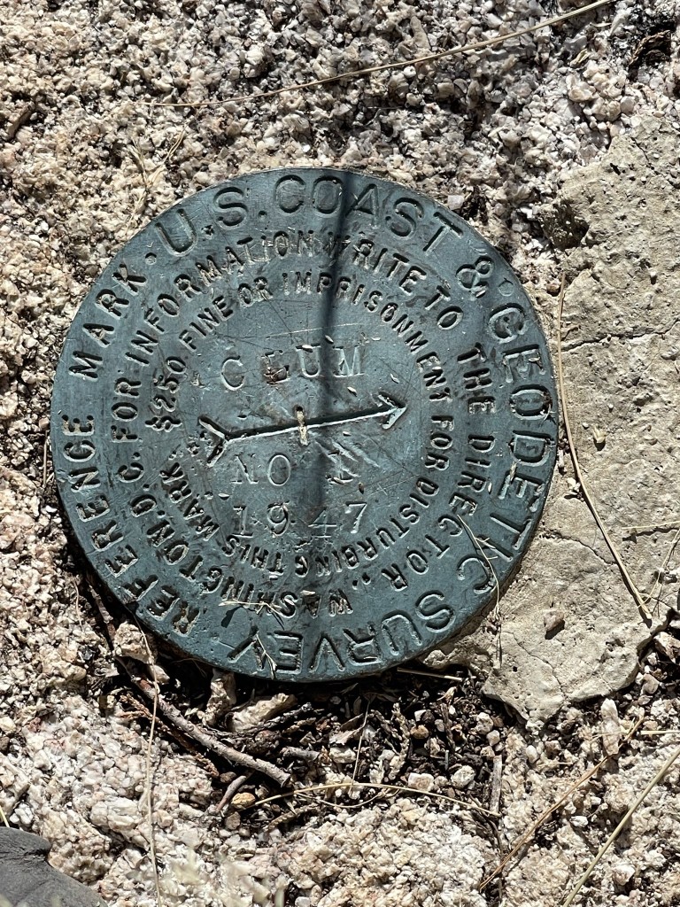
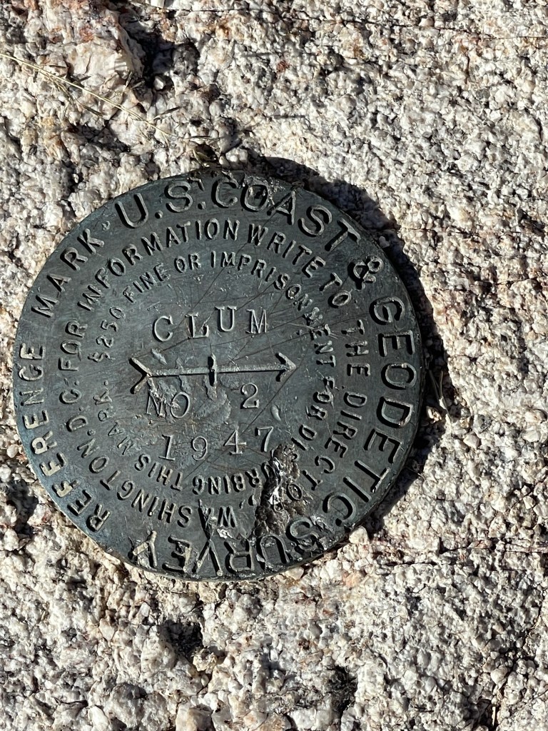
There was no register, but I located the “Clum” benchmark as well as 2 reference markers.
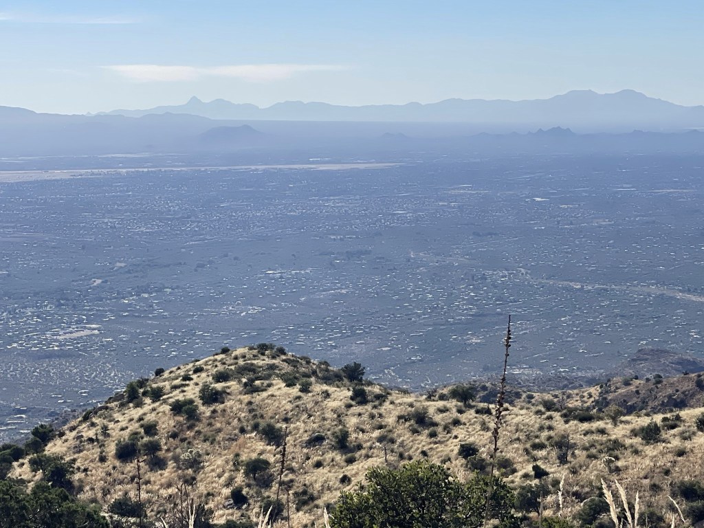
The views were very good for such a low peak. I could see Mount Lemmon to the northwest:

I could see the city of Tucson to the southwest. Baboquivari Peak is the pointy peak on the left.
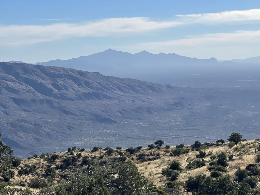
Mount Wrightson to the south:
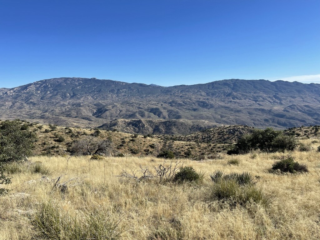
Mica Mountain (left) and Tanque Verde Peak (right) to the southeast:
I began descending after a 25 minute break.
I saw 2 or 3 deer at 7.4 miles. I began to see more people near the trailhead, including a large group with a lot of kids. The sunset over Tucson was very pretty.

I reached the car at 4:38pm. This hike totaled 9.22 miles, 2900 feet elevation gain, and 4:04:45 total time.


I was planning to climb Mica Mountain from the nearby Douglas Spring Trailhead the following day. I had difficulty finding a good place to park for the night. I initially tried to park at the Douglas Spring trailhead, but it is located near a resort and there was constant traffic coming and going. I drove around for a while and eventually found myself heading up the Mount Lemmon Highway again. Luckily, I found an open campsite at one of the developed campgrounds (I think Molino Basin) and had a decent night of sleep.
