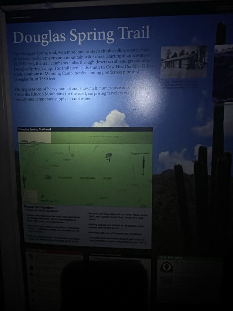
Mica Mountain, located just east of Tucson, is an 8664 foot mountain that is the highpoint of both the Rincon Mountains and Saguaro National Park. There are multiple ways to approach it, but they are all long and/or require a difficult drive to reach the trailhead. I chose to climb it via the easiest drive but the longest hike. The Douglas Spring Trailhead, located in a suburban neighborhood in east Tucson, provides easy, paved access to the northwest corner of the park. Mica Mountain is a 14 mile hike one way from the trailhead on well maintained trails. I had spent the previous night camped at Molino Basin Campground, located on the lower portion of the Mount Lemmon Highway. Shockingly, I was able to find an open campsite when I arrived late Saturday night. I woke up early and made the short drive to the trailhead. I began hiking at 4:52am from 2760 feet above sea level.
It was surprisingly cold as I got started, despite the low elevation. My car was showing 37 degrees, which is about the same temperature I had been experiencing the previous mornings at much higher elevations. There seemed to be a pocket of cold air near the trailhead because it warmed up very quickly. This was slightly annoying since I had to dress warm and then carry my warm clothing in my pack the rest of the day.
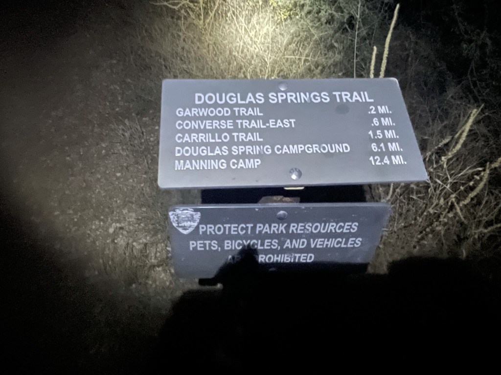
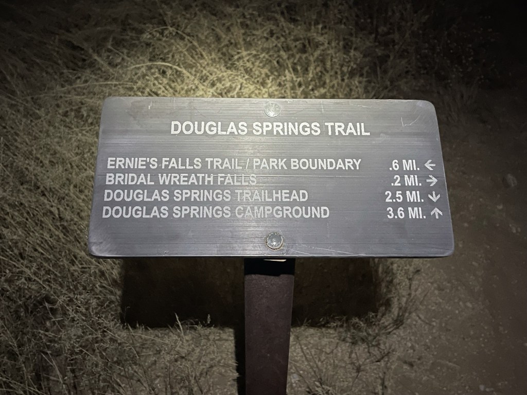
I hiked east on the Douglas Spring Trail. I passed a number of junctions with trails heading south, but I stayed left at each of them.
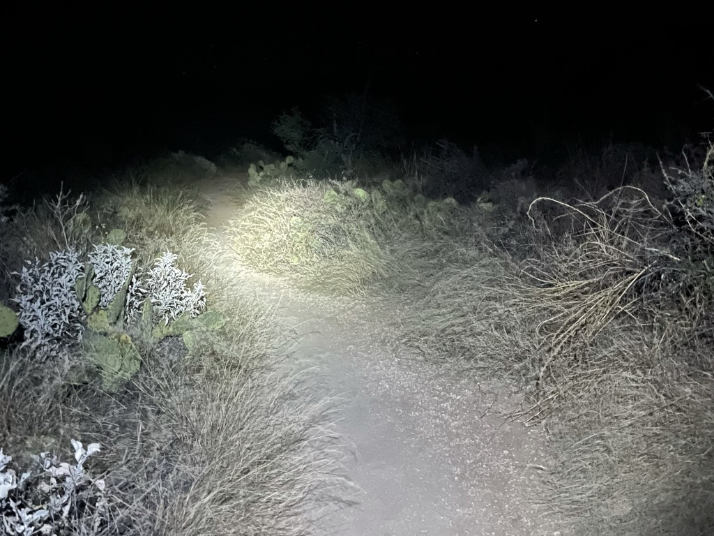
I hiked for quite a while in darkness. I noticed a single headlamp coming up the trail behind me. I figured there was another hiker out getting an early start.
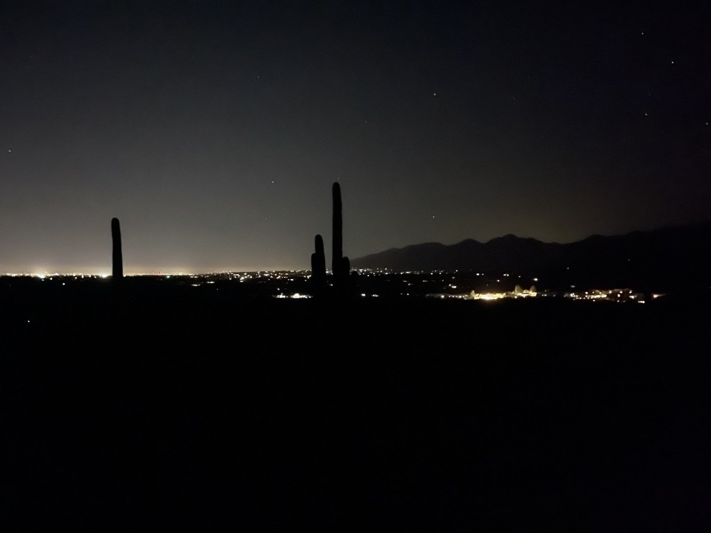
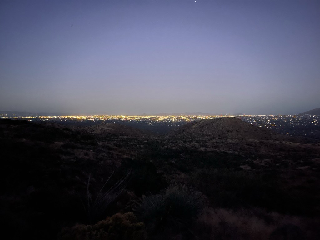
I turned around every now and then to look at the city lights behind me.
The trail started to gain elevation after 0.75 mile.

The hiker finally caught up to me at 2.1 miles. He was moving very fast. At 2.7 miles I passed a 4 way junction and continued straight.
I turned off my headlamp around 6:20am. The city lights looked even more impressive as I climbed higher.
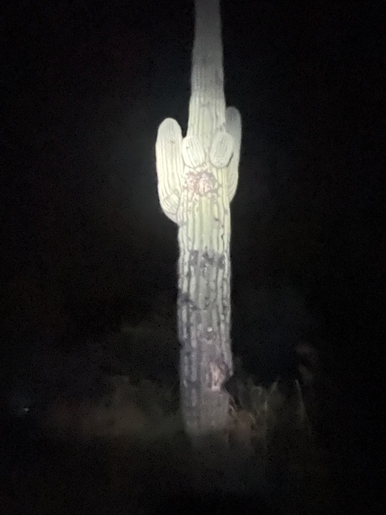
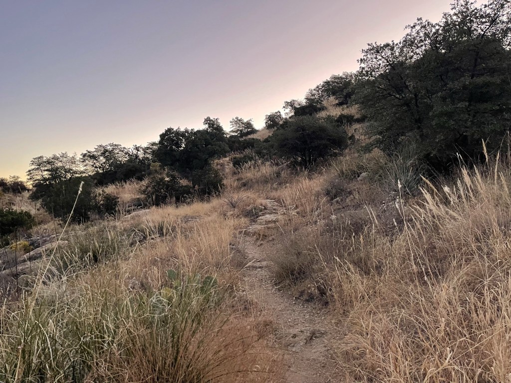
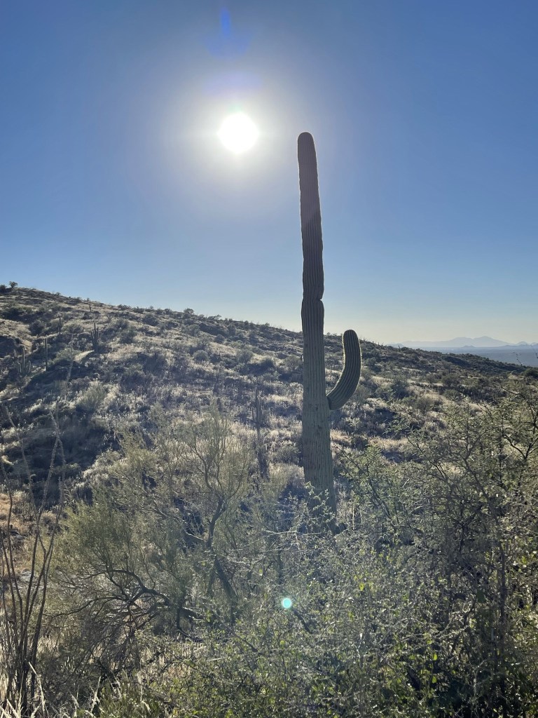
I was already high enough that the vegetation had shifted from cacti to shrubs and grasses.
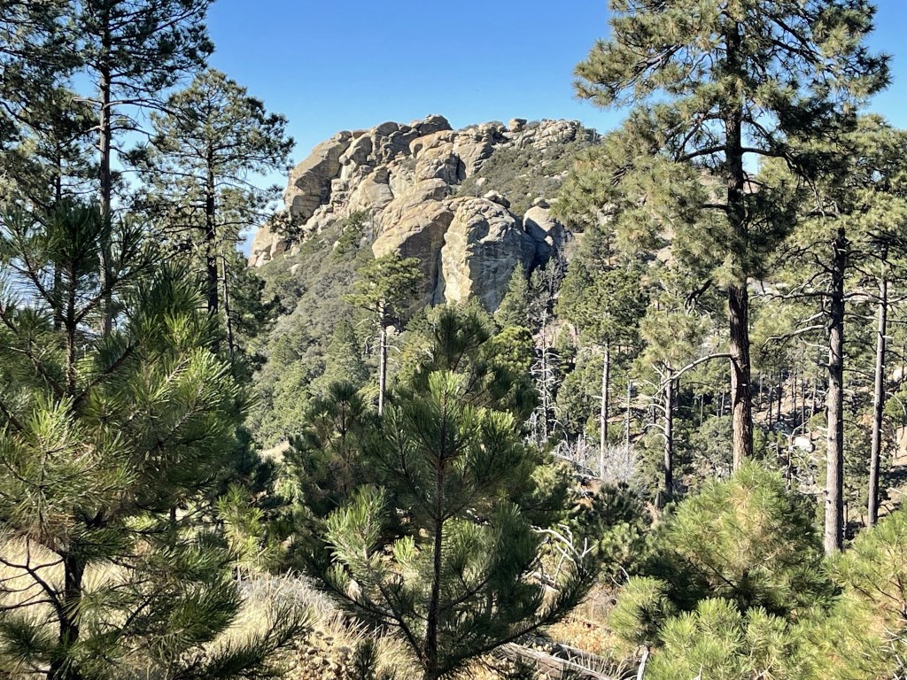
I got passed by 2 separate runners, one heading in each direction. The one going the same way as I was mentioned there might be more runners coming from behind. He mumbled something about some kind of event, but I didn’t fully catch what he was saying. I never did see any more runners though. I got my first good look at Mica Mountain, still many miles away. The prominent rock feature is known as Helens Dome. The actual summit of Mica is further to the left (east).

At 6.6 miles I reached Douglas Spring Campground.

There was a bathroom and a few numbered sites.

There were a few campers up and about already. I proceeded through the campground and continued on the trail.

I crossed over the creek just beyond the campground. There was some standing water in it that looked pretty nasty. I think the creek is pretty dry most of the year.
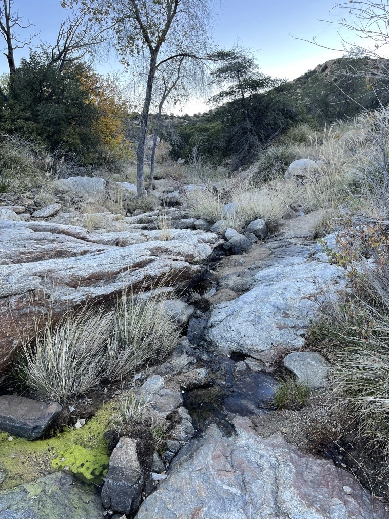
The trail shifted south past the campground. The brush was much thicker and higher.
The trail was also much steeper beyond the campground.

I started to see some pine trees around the 6000 foot level.

I reached Cow Head Saddle at 9 miles.
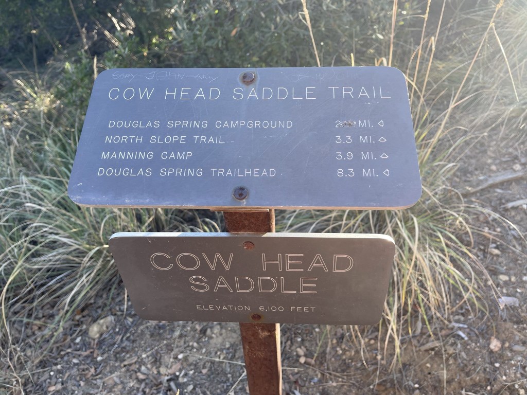
I turned east (left) here onto the Cow Head Saddle Trail.

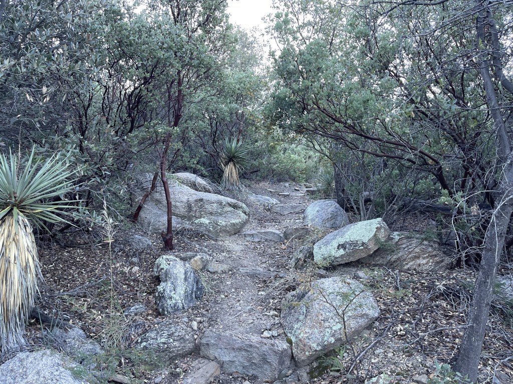
The trail remained steep beyond the saddle.

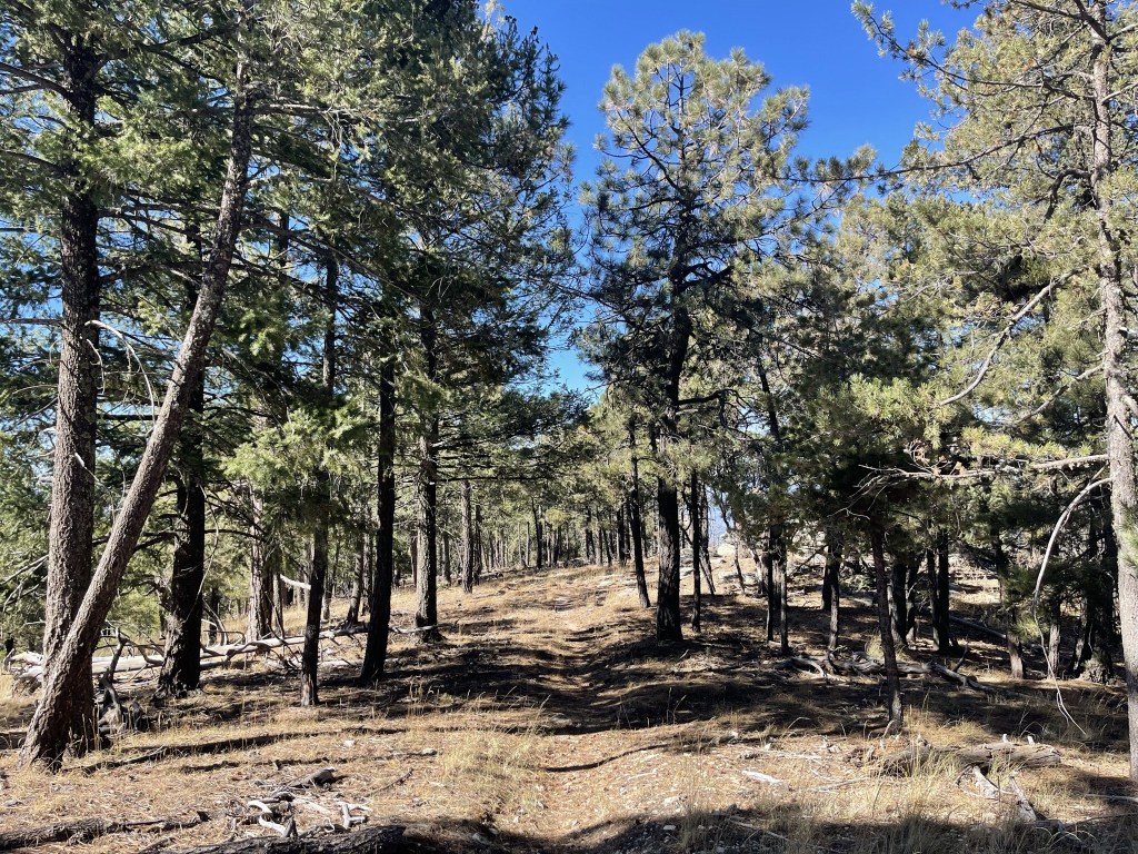
The terrain was now fully forested as I approached the 8000 foot level.

It was quite a shift from the cactus covered terrain I had started out in. The temperature was a little warm but was quite pleasant.

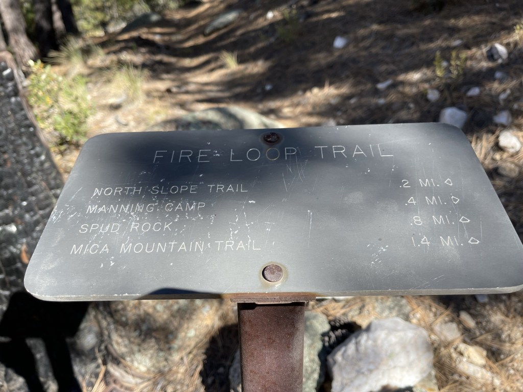
At 12.4 miles I passed a junction with the North Slope Trail but kept going. At 12.5 miles I turned left onto the Fire Loop Trail.
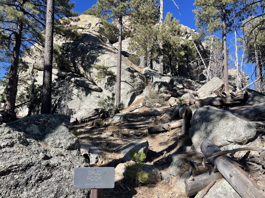
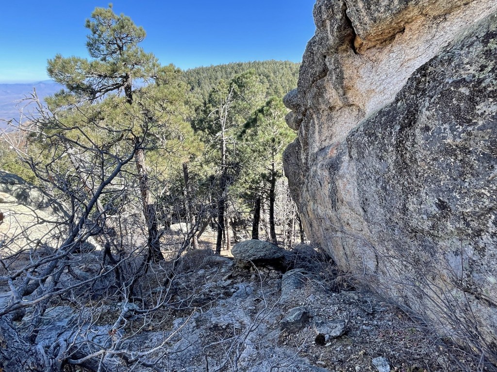
I continued hiking east. I passed Spud Rock at 13.2 miles. Spud Rock (8613 feet) is only 50 feet lower than Mica Mountain, but since it is a rock outcropping with no trees on it, the views are far superior. I planned to visit Spud Rock on my way back.

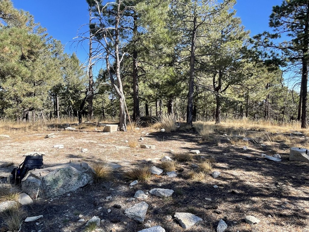
The trail made a minor dip after Spud Rock and then climbed again towards Mica. I finally reached Mica Mountain at 10:47am at 13.7 miles! The summit is unspectacular – it is located on a large flat area with a lot of trees. It is only a few dozen feet south of the trail.
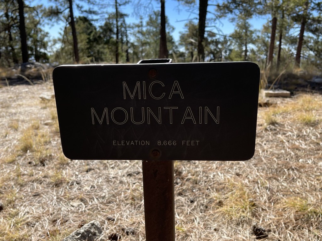
I signed the register which had been placed in December 2020. The previous entry was from November 5. There were many entries from every month of the year, and there was an older book as well. I located one marker.
The views were nonexistent due to tree cover.
I took a very short break and then started hiking back towards Spud Rock. I intended to take a longer break on Spud Rock so I could soak in the views.
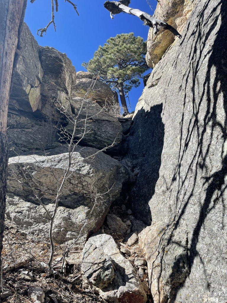
I left the trail at 14.3 miles to climb Spud Rock.
I approached from the southeast. It was a fairly easy class 2 climb of less than 100 feet.
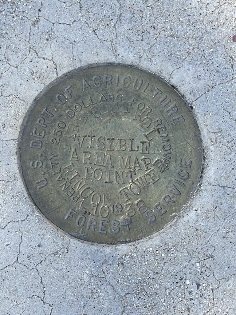
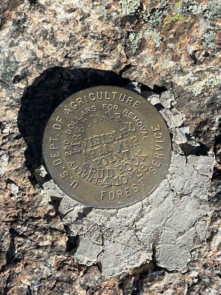
I reached Spud Rock at 11:11am at 14.4 miles! There was no register, but I located 2 markers.

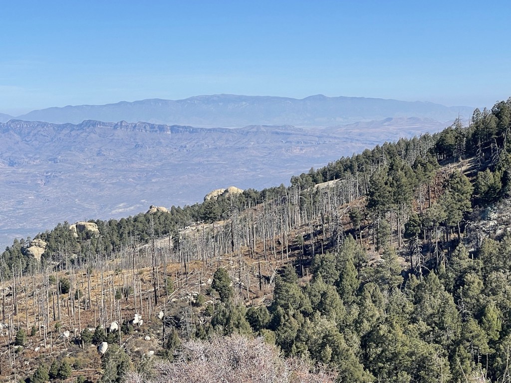
The views were excellent. I could see Mount Lemmon to the northwest:

Tucson to the west:

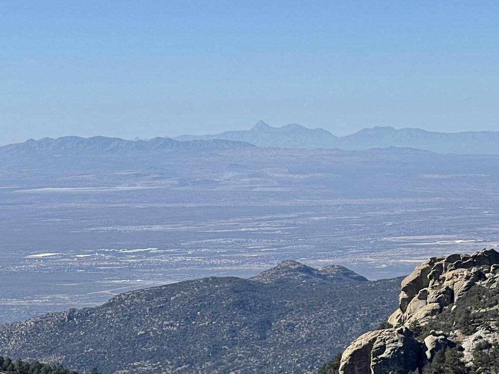
Baboquivari Peak to the southwest:
Mount Wrightson to the south:
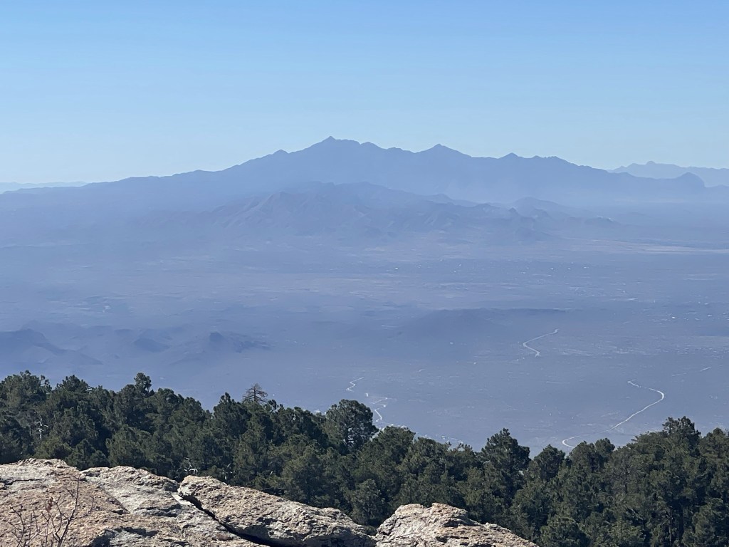
Rincon Peak (foreground) and Miller Peak (background) also to the south:
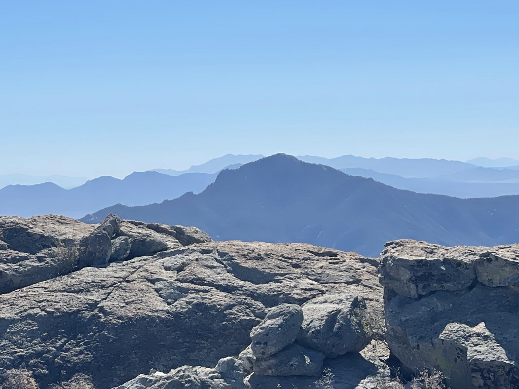
Chiricahua Peak to the southeast:

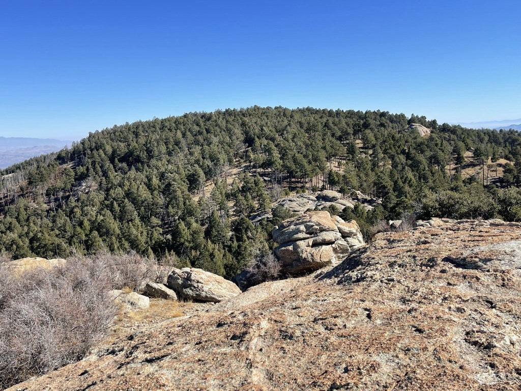
Mica Mountain less than a mile to the east:
And Mount Graham much further east:
I began descending after a 20 minute break. I took a slightly different route back to the trail, but it was still class 2.
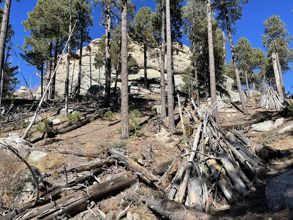
I reached the trail again at 14.5 miles. I noticed some log piles near Spud Rock. I think they are stacked up like that for fire prevention.
I began the long hike back to the trailhead. I got a good picture of Helens Dome as I passed by it.
I retraced my steps back over Cow Head Saddle and past Douglas Spring Campground. I enjoyed the desert scenery as I neared the trailhead.
It was a long, exhausting day but I was excited to have reached my 9th national park highpoint.

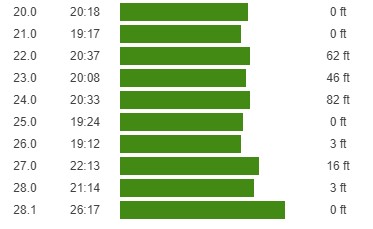
I reached the car again at 4:37pm. This hike totaled 28.09 miles, 6549 feet elevation gain, and 11:45:10 total time.


What a great trip! I really enjoyed my 5 day trip through southern Arizona. I packed up and made the long drive back home to San Diego.
