Webb Peak
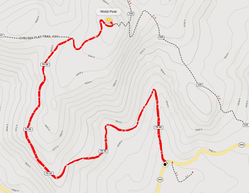
Mount Graham is the highest mountain in southern Arizona at 10720 feet. With 6320 feet of prominence, it is the most prominent peak in the state of Arizona and 20th overall in the contiguous United States. My plan was to climb Mount Graham as well as 2 other nearby peaks over 10000 feet – Webb Peak (10030 ft) and Heliograph Peak (10022 ft). I had driven up Highway 366 as far as Arcadia Campground the night before. I woke up early and made the drive to Webb Peak. The highway is paved to Shannon Campground and then the final 7 miles are well graded dirt. I parked on the side of the road and began hiking at 6:21am from 9420 feet.

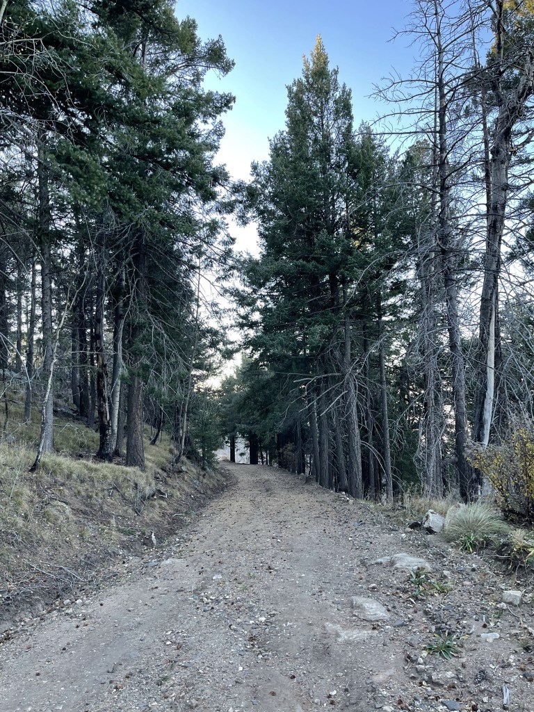
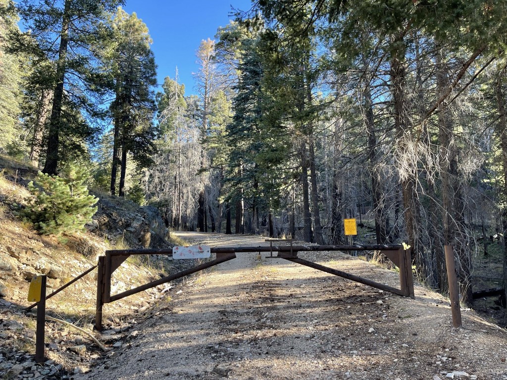
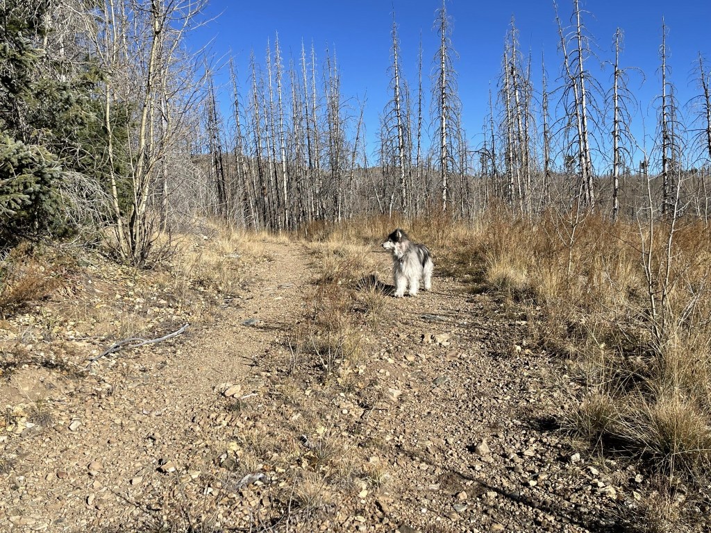
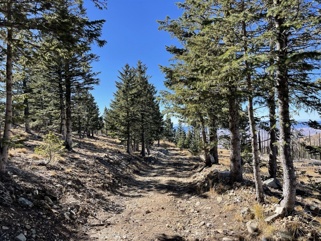
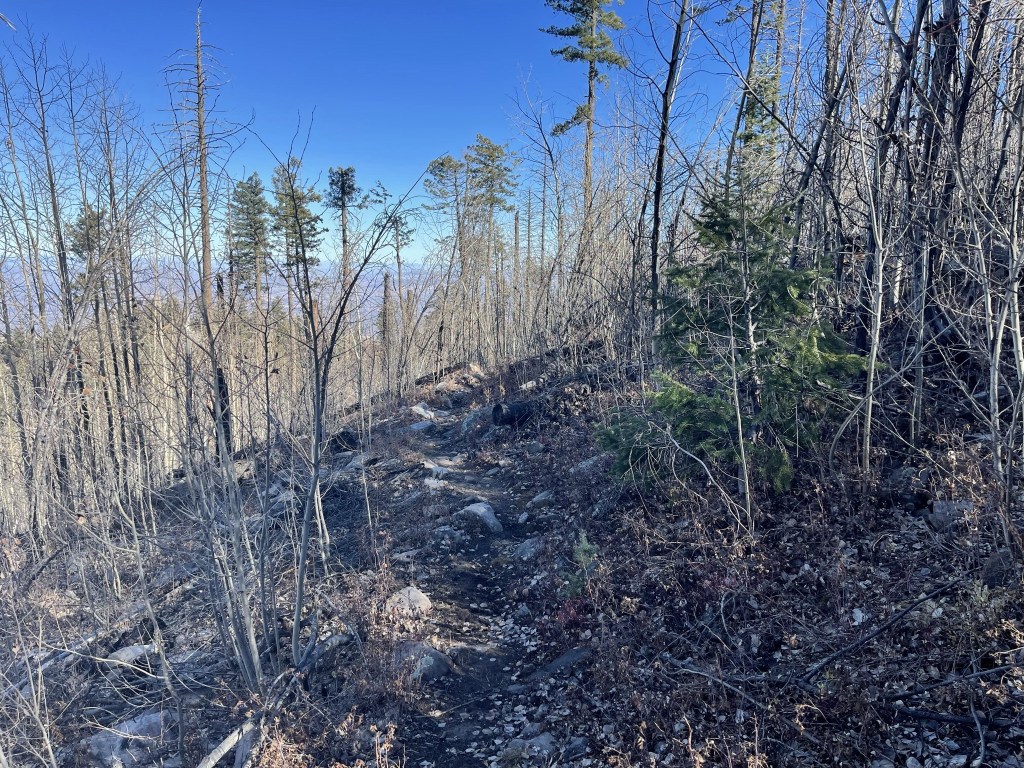
The hike to Webb Peak is easy. It’s less than 2 miles one way on a dirt road. I soon passed through a locked gate.

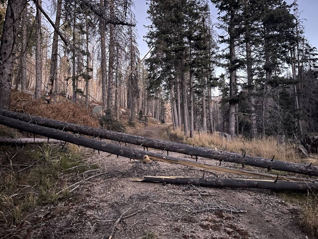
It was very cold so early in the morning at this high elevation. My car had shown 34 degrees when I started. The road clearly hadn’t been used in some time as there were a few downed trees blocking the way.
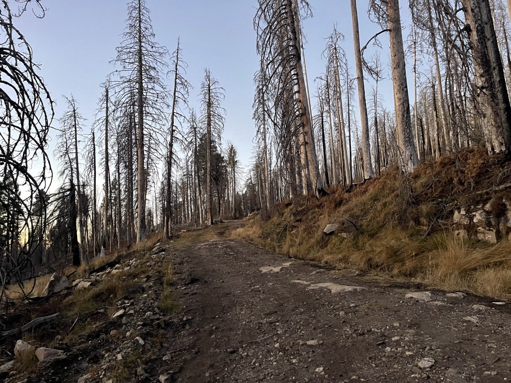
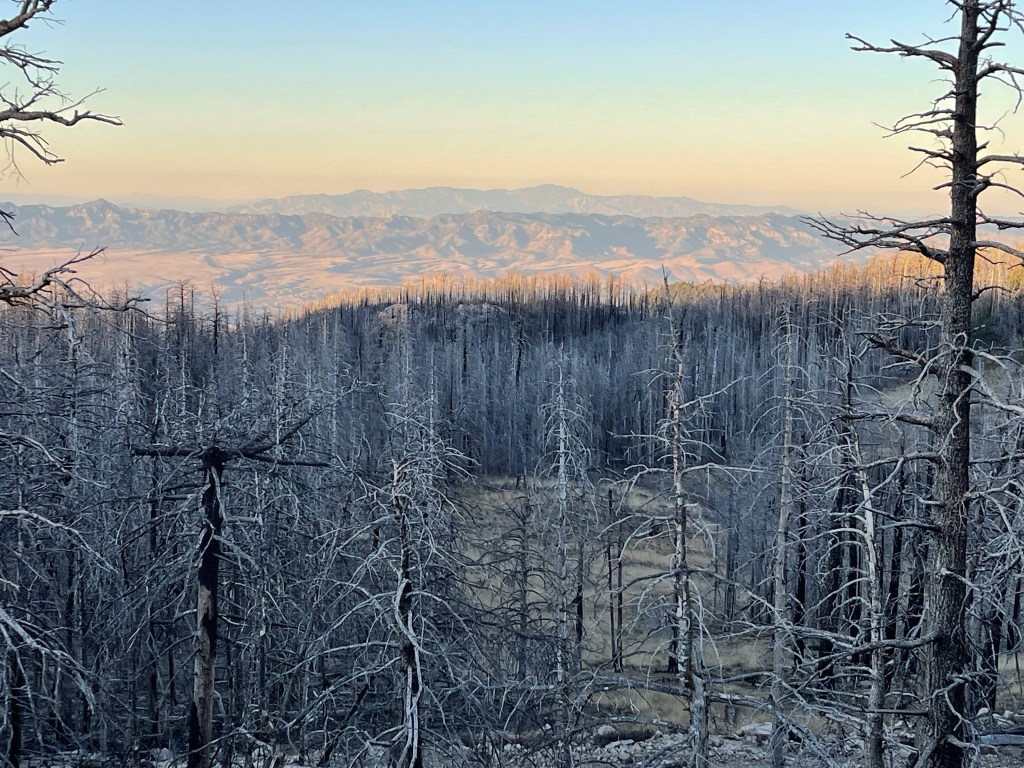
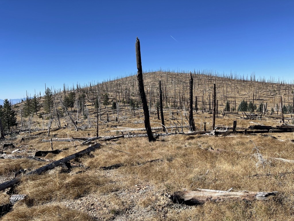
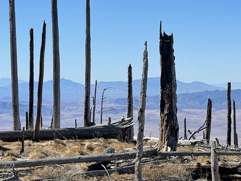
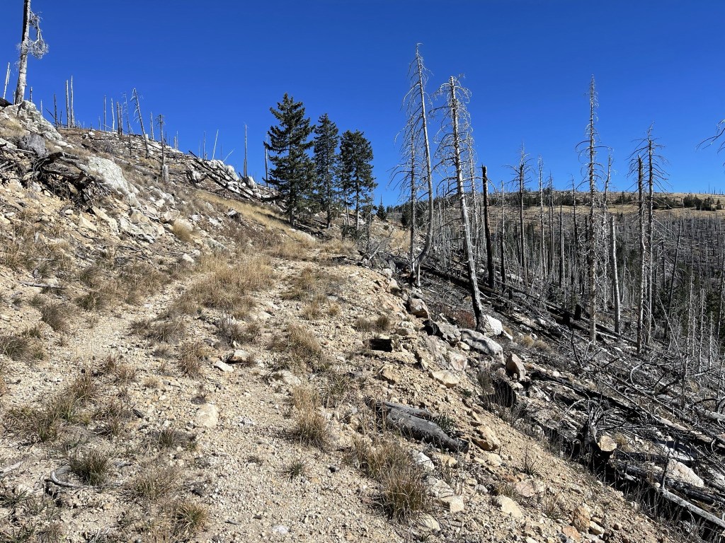
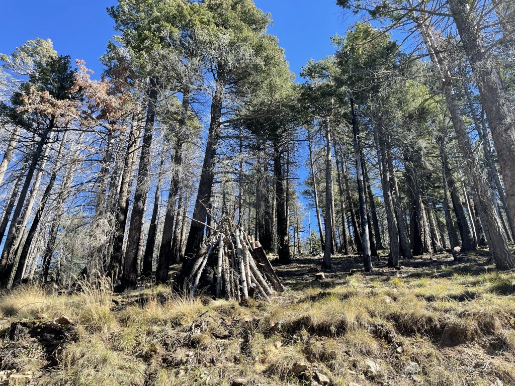
Most of the trees were dead and burned.
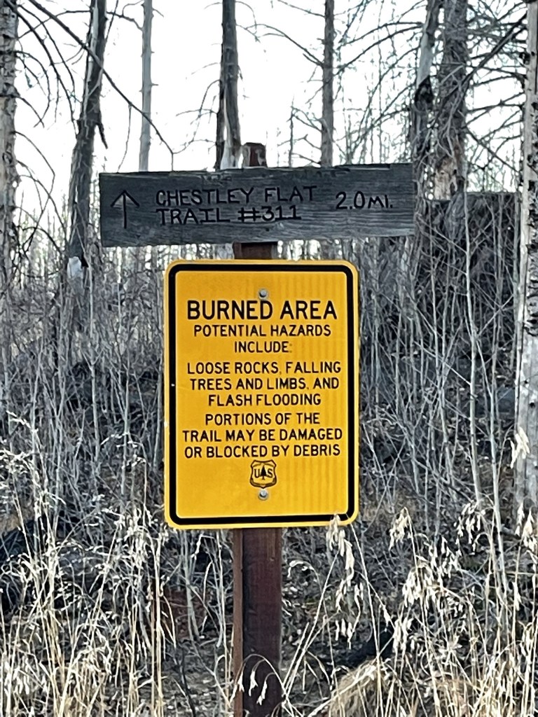
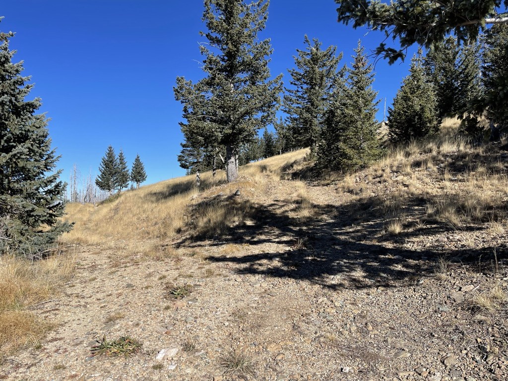
The road made a few zigzags as it gradually gained elevation towards the peak. I also saw a few deer along the way. At 1.5 miles I reached a junction for the Chestley Flat Trail, but I stayed on the road.
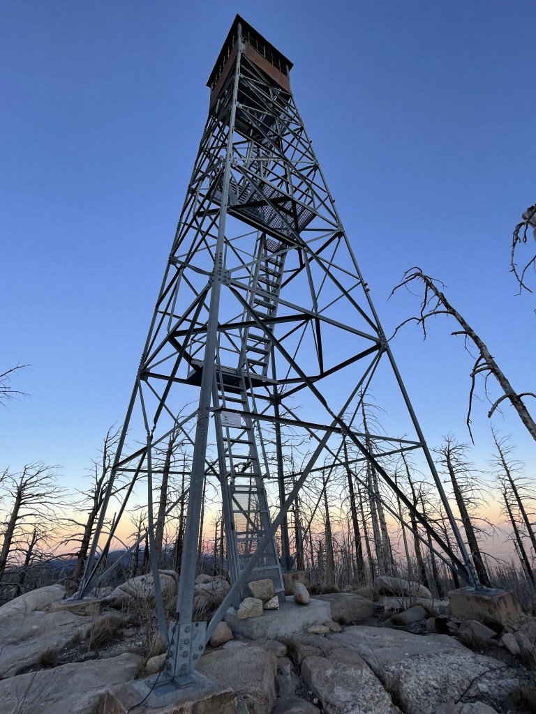
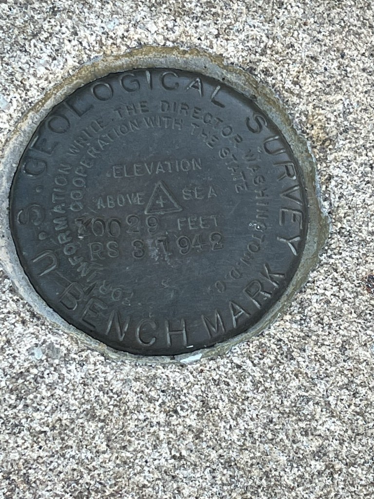
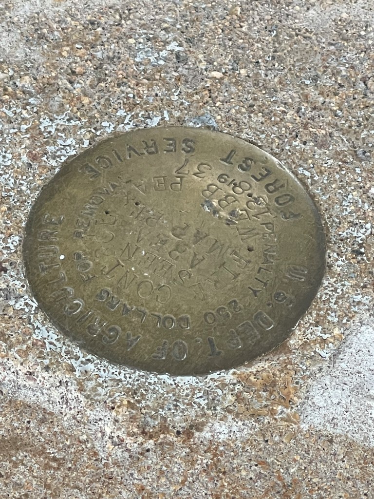
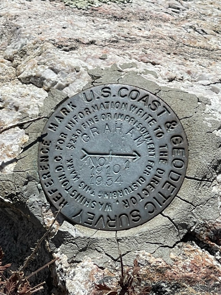
I reached the summit at 6:58am at 1.8 miles! There was a fire lookout on top.
I located 2 separate markers on the summit.
I could see Mount Lemmon to the west.
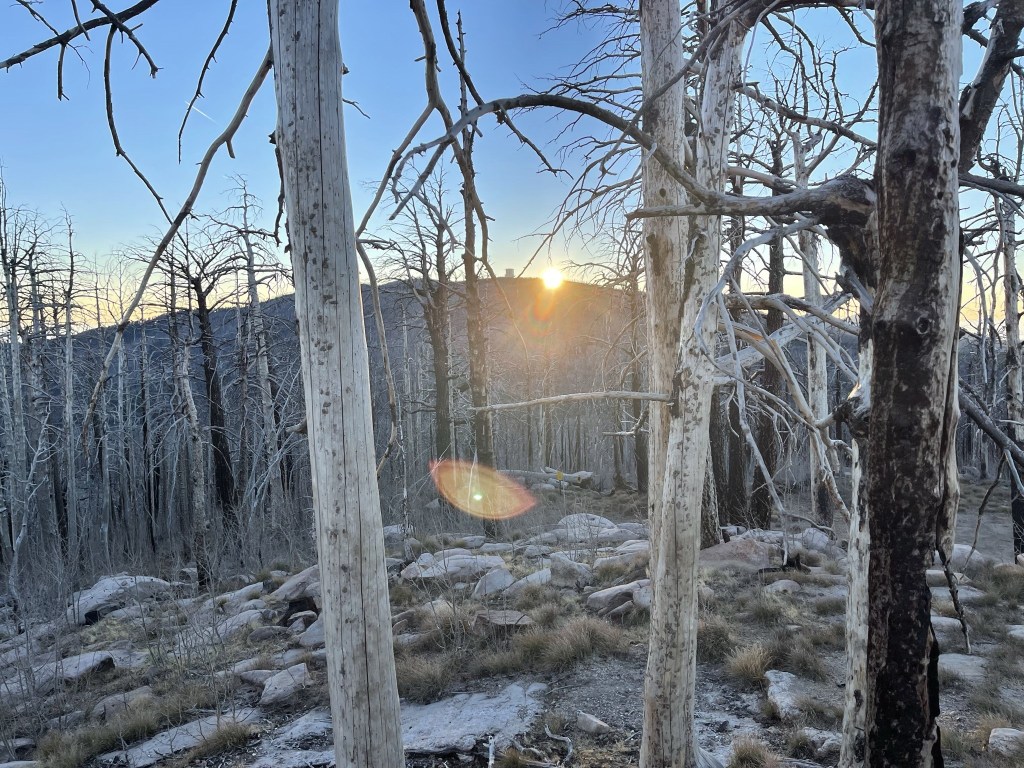
The sun was peaking up over Mount Graham to the east.
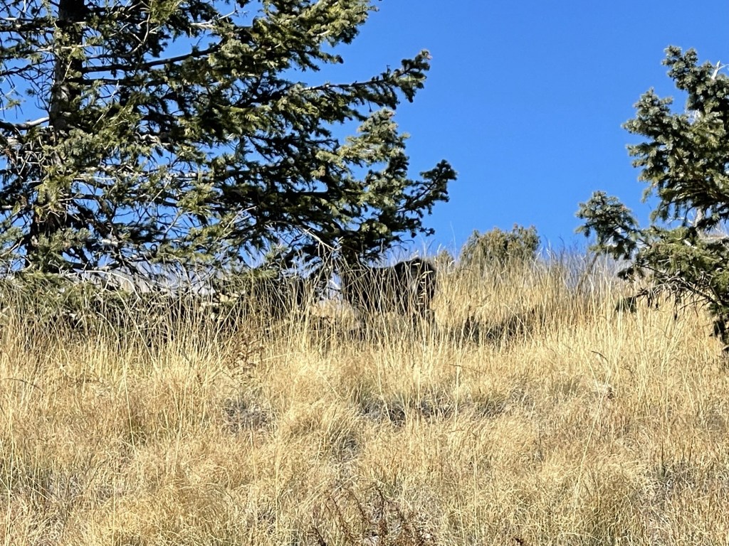
I retraced my steps down the road back to the car. At 3.1 miles I saw a buck in the middle of the road, but he ran off before I could get a picture.
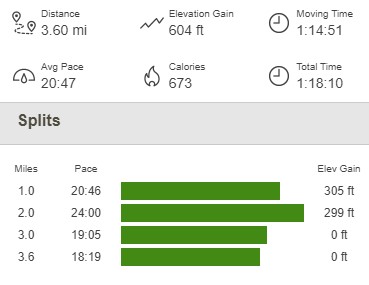
I reached the car at 7:39am. This hike totaled 3.6 miles, 604 feet elevation gain, and 1:18:10 total time.
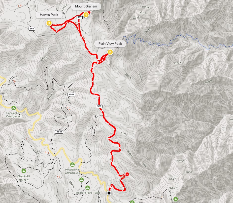
Mount Graham, Hawk Peak, and Plain View Peak
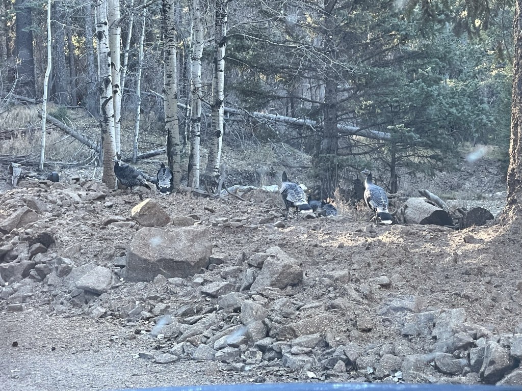
Next up was Mount Graham itself. I drove back the way I came down Highway 366. I saw something like 20 turkeys along the way.
I parked on the side of the road right where the pavement begins and also where the forest road that heads to Mount Graham starts. I began this hike at 8:19am from 9170 feet above sea level. I soon passed through a locked gate.
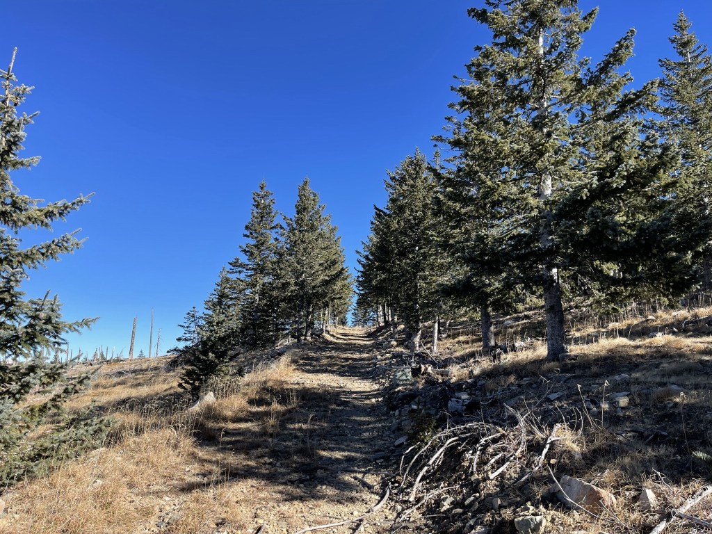
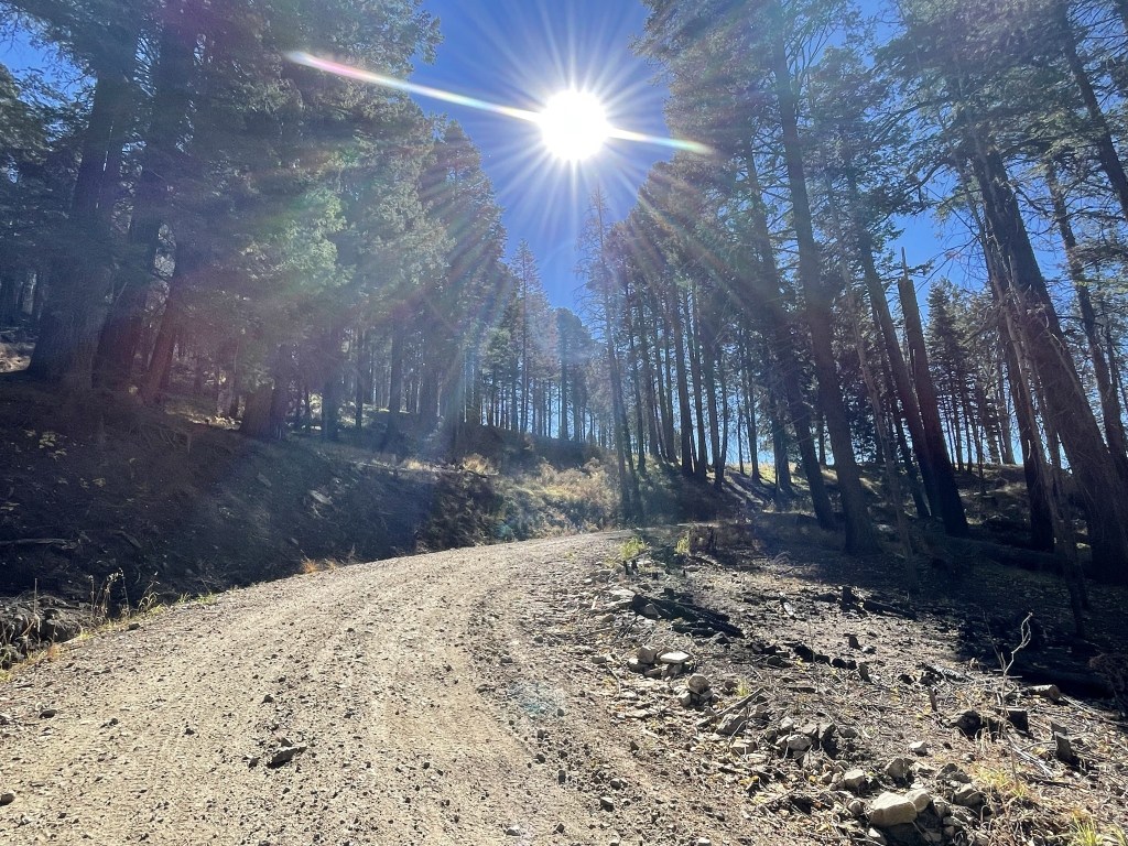
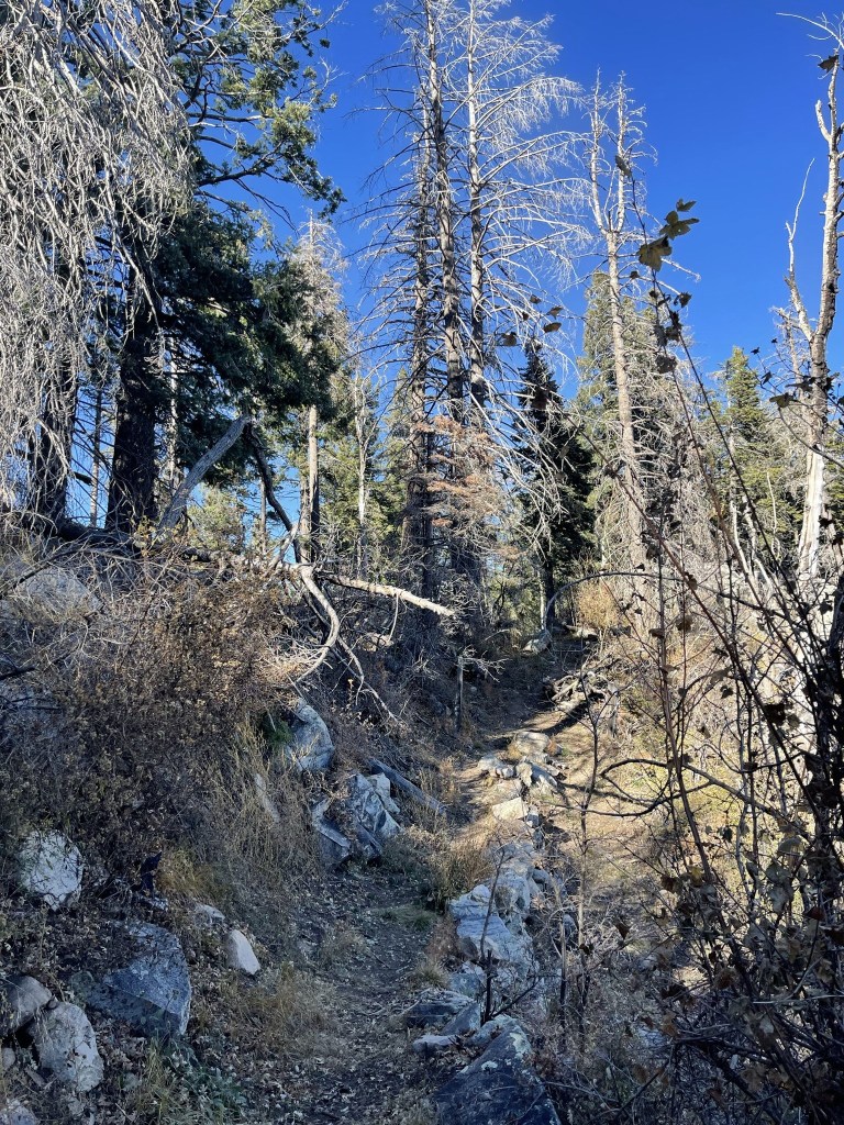
I hiked north up the road. The road was in pretty bad shape – many downed trees and the middle was very overgrown.
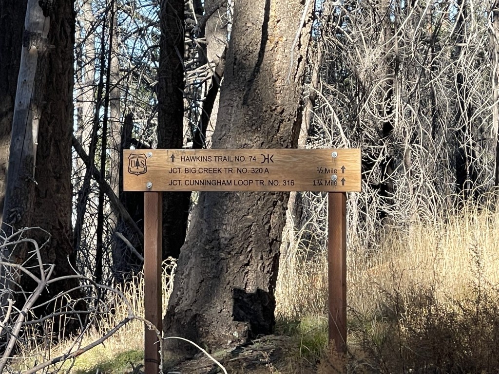
At 1.4 miles I reached a junction with the Hawkins Trail. I continued on the road.
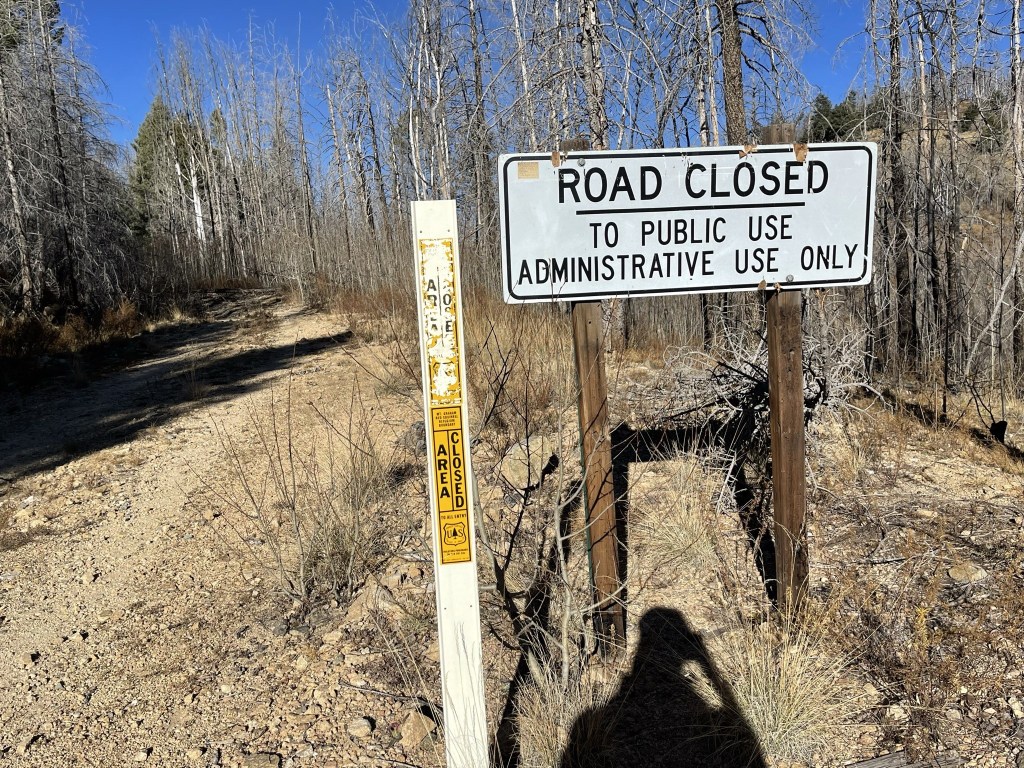
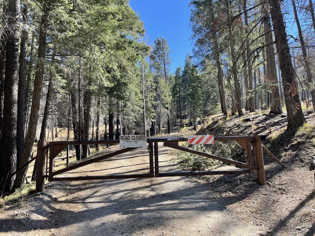
At 2 miles I reached a road closed sign. The upper part of the mountain apparently is closed to protect habitat for the rare Graham Mountain Red Squirrel. Most hikers ignore the closure and continue up the to the peak. I’m not sure how a few hikers impact squirrel habitat anyway.
At 2.1 miles I came across a dog walking down the road in my direction. I waited for the owner to appear, but they never did. This dog appeared to just be wandering around on its own. I was very confused since this was a very remote area far from civilization. There were no homes nearby as far as I knew, and I never saw signs of other hikers that day. The only thing I could think of was that it belonged to someone staying at Shannon Campground, and they had let it loose to do whatever. That seemed a little farfetched though since the campground was a few miles away. I was a little uneasy since the dog stood its ground and I had no clue whether it was friendly or not. I walked a short distance off the road to give it a wide berth. It looked at me and then kept walking in the direction it had been going.
As I kept hiking, I noticed the dog had changed direction and was now following me. I wondered if it was going to catch up with me and hike with me to the peak. However, it eventually disappeared from sight, and I didn’t see it again.

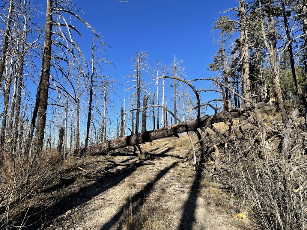
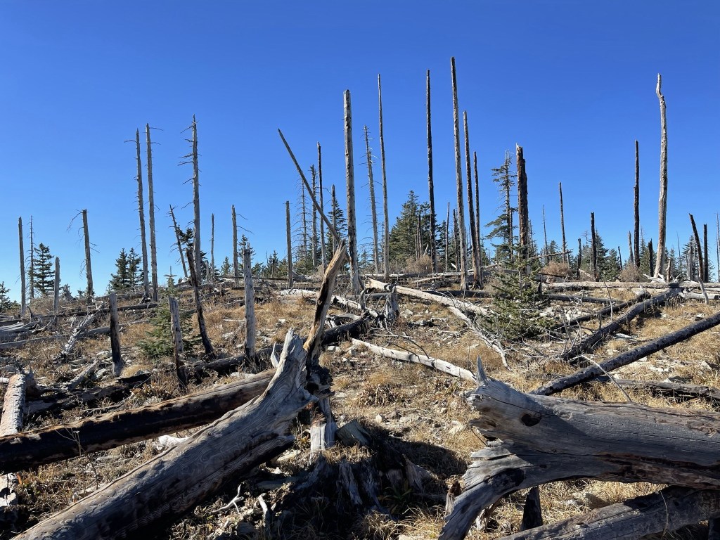
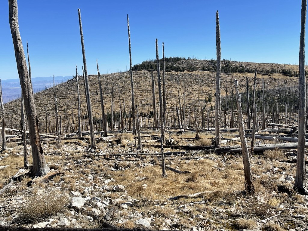
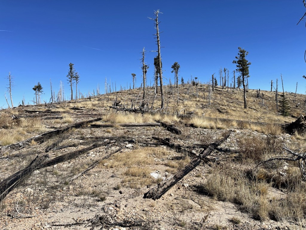
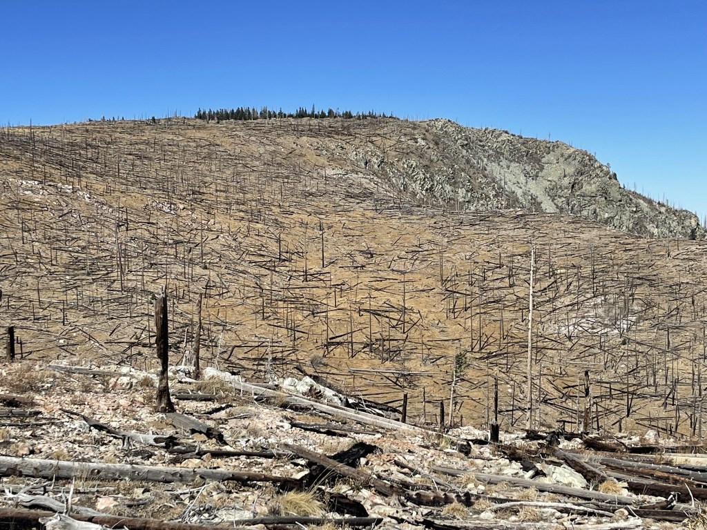
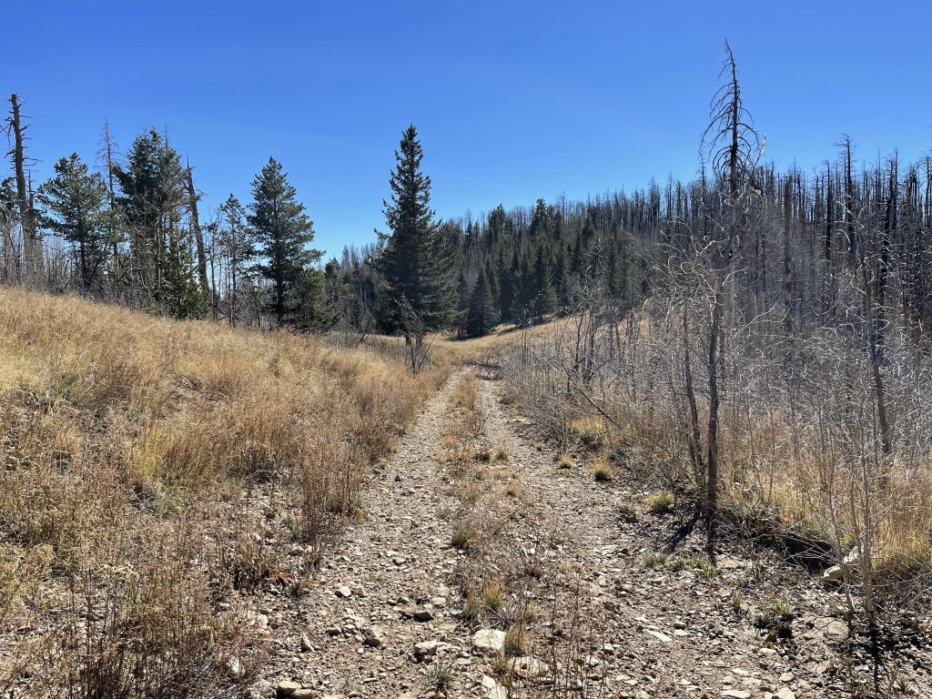
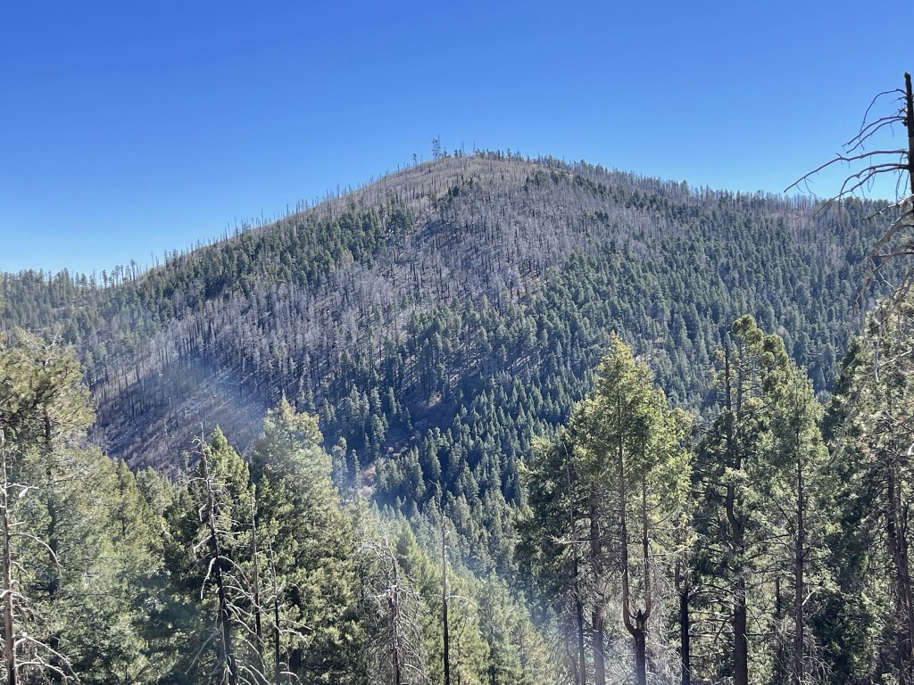
I continued north as I hiked through a tree graveyard. This entire area had burned extensively in a recent fire.

I saw a few deer in the distance as I neared the summit. At 4.3 miles I reached a fork and went right towards the peak.
The road curved around the north side of the peak.
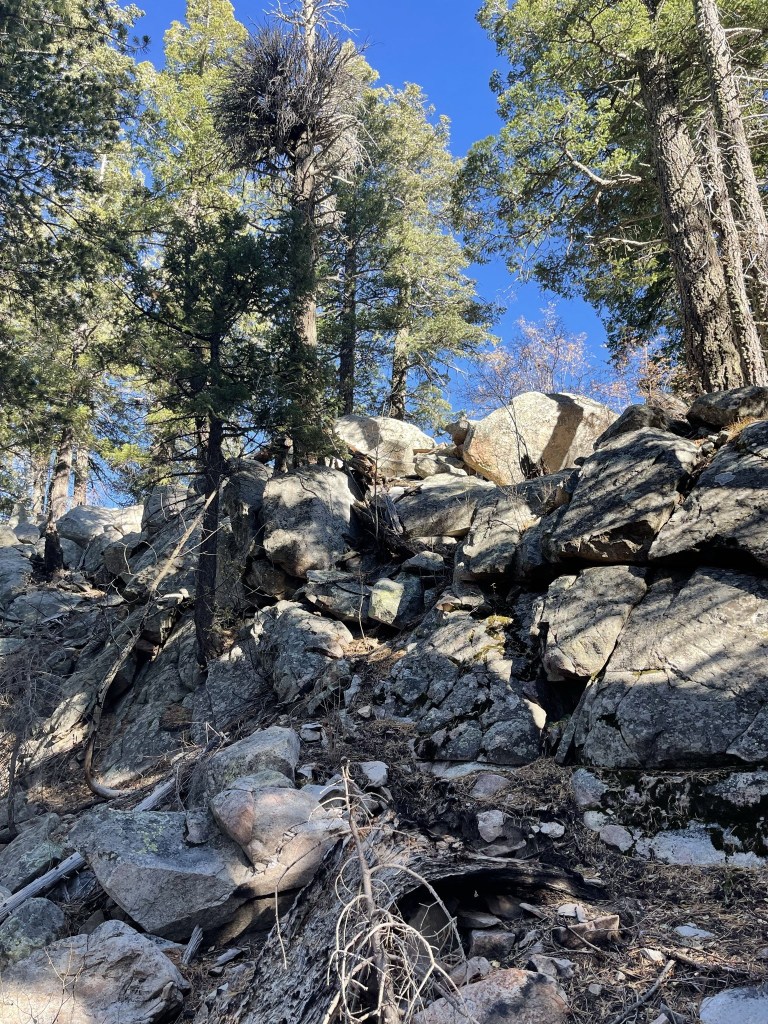
The road ended so I hiked cross country for a short distance to the peak.
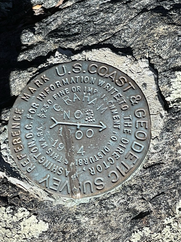
I reached the summit at 10:02am at 4.9 miles! I located 2 reference markers but no benchmark.
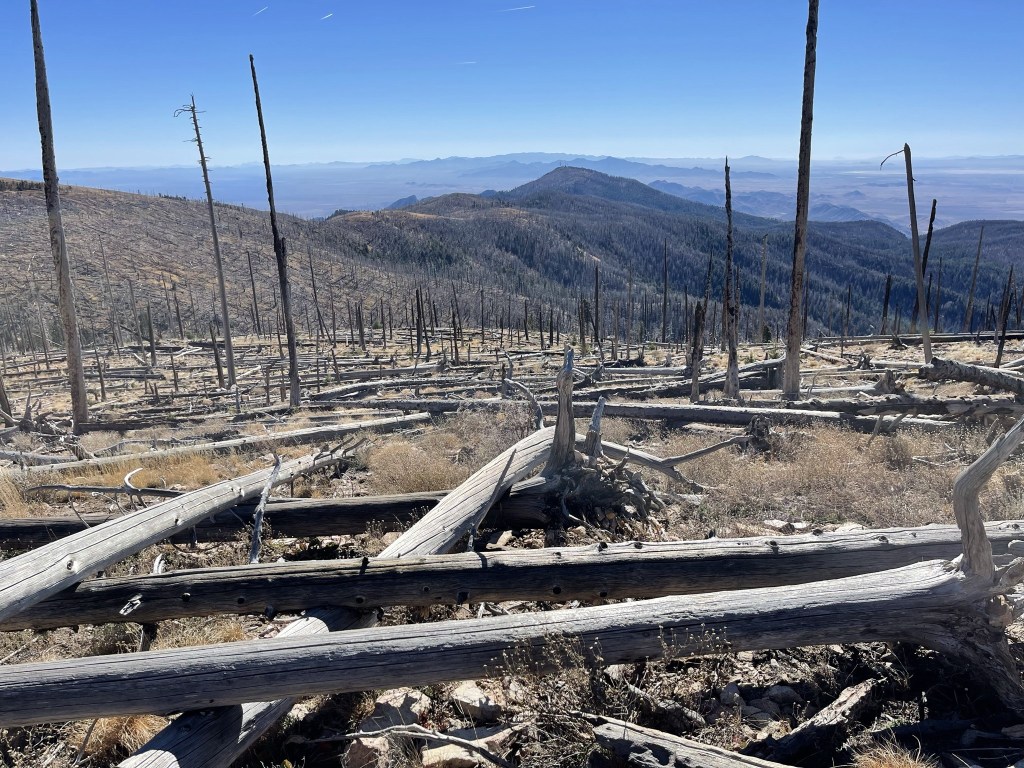
Similar to Chiricahua the day before, the views were disappointing for a peak with so much prominence. The summit was too broad and flat to see very far, plus the trees blocked the view anyway.

I took a short break and then hiked back down to the road.
I left the road at 5.1 miles to make the short hike over to 10627 foot Hawk Peak, which is a minor subpeak of Mount Graham.

The terrain was easy besides the large amount of deadfall to climb over. I descended a couple hundred feet to a saddle at 10450 feet.
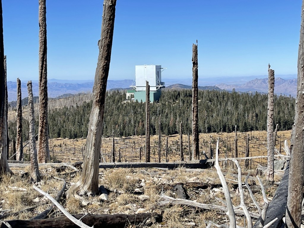
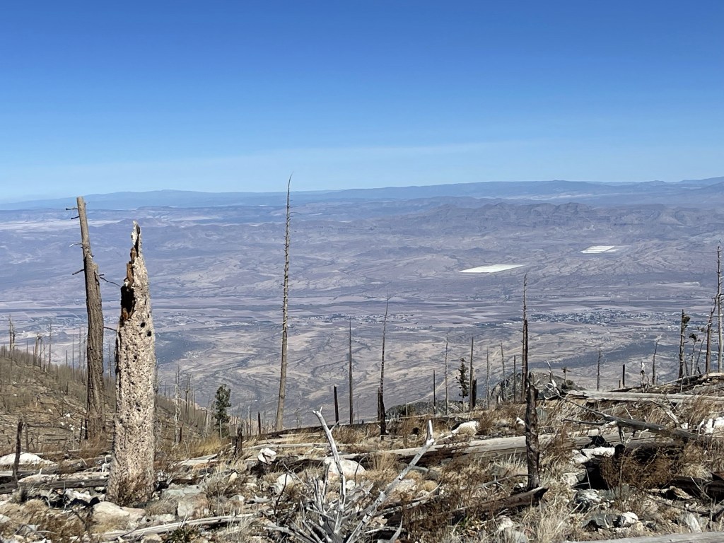
I reached the summit at 10:35am at 5.8 miles. I could see the Mount Graham International Observatory very close to the west.
Looking back at Mount Graham to the east:
Rincon Peak and Mica Mountain to the southwest:
I descended to the southeast after a short break.
I reached the road again at 6 miles. The road went uphill for the next half mile to the turnoff for Graham.
I passed the Graham turnoff at 6.6 miles and then started gradually going downhill. I spotted another deer at 7.2 miles.
Just after seeing the deer, I left the road to climb another bonus peak called Plain View Peak (10370 ft).
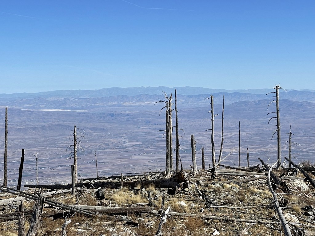
The peak was a short climb from the road. I reached the summit at 11:19am at 7.4 miles. The views were decent. This is looking back at Graham:
Baldy Peak and Escudilla Mountain to the north:
Whitewater Baldy in New Mexico to the northeast:
I hiked back to the road, which I reached at 7.6 miles. From there, I followed the road back to the car.
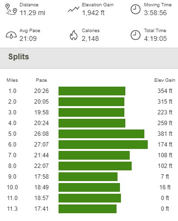
I reached the car at 12:38pm. This hike totaled 11.29 miles, 1942 feet elevation gain, and 4:19:05 total time.
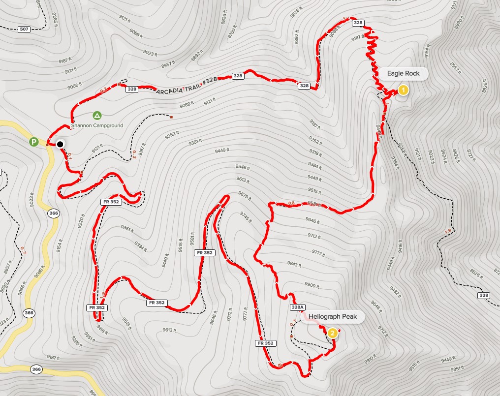
Heliograph Peak and Eagle Rock
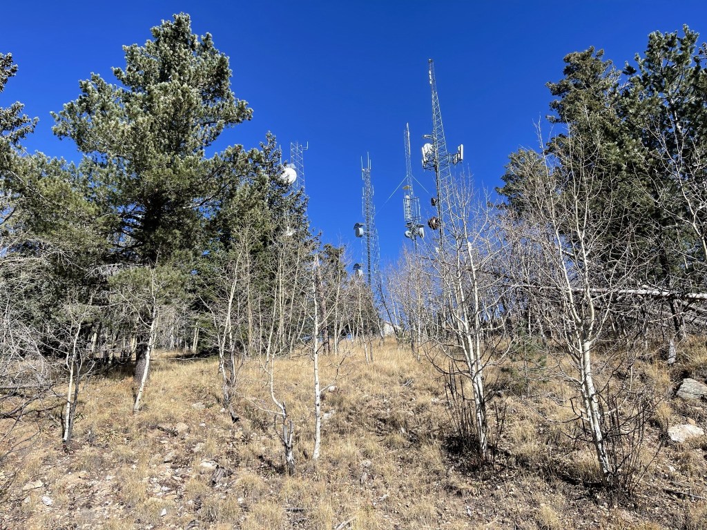
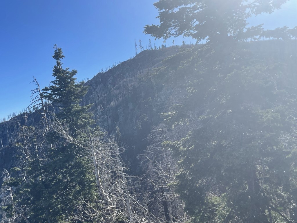
The last hike for the day would be Heliograph Peak (10022 ft). Unfortunately, this would be another road hike. The starting point was very close to where I was parked for Mount Graham, so I just drove down the highway a short way and then parked at a turnout where the dirt road to Heliograph began. I started this hike at 1:06pm from 9098 feet above sea level. I could already see the comm towers on top of its summit.
I proceeded around the locked gate.
The road was very similar to the 2 previous hikes I had already done this day.
I noticed many piles of dead logs.
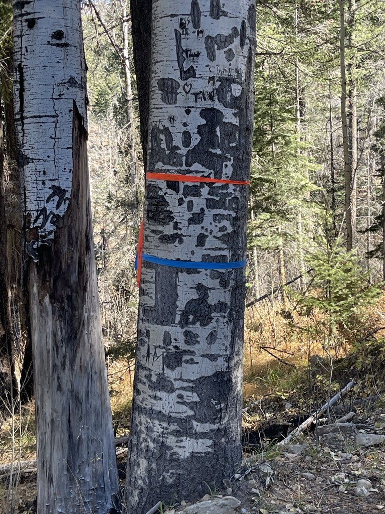
And also a lot of blue and pink tape on the trees.
I took a small shortcut through the brush as I neared the summit.
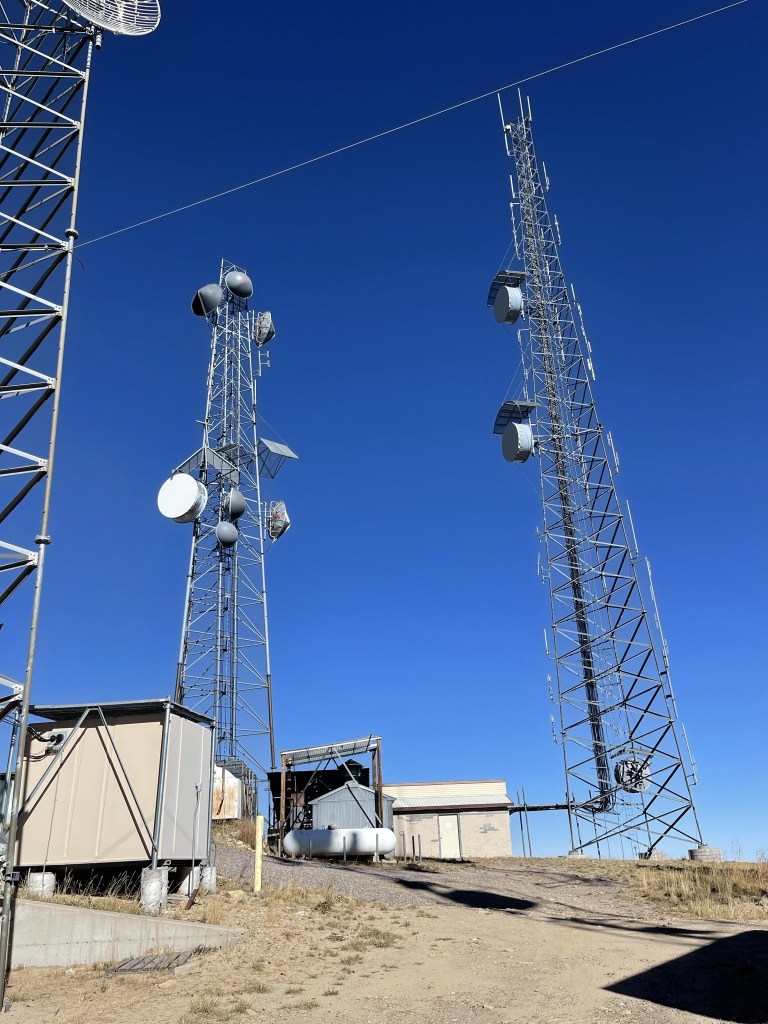
I walked past the comm towers on the summit.
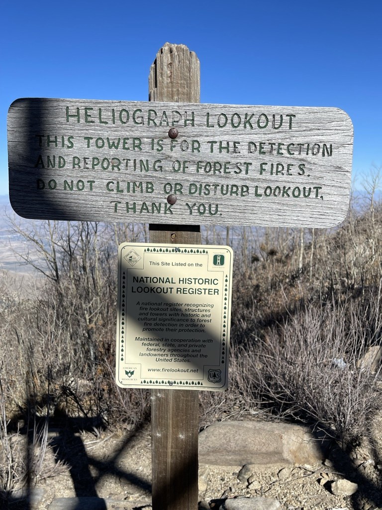
I reached the summit at 1:56pm at 2.1 miles. There was a fire lookout up here as well.
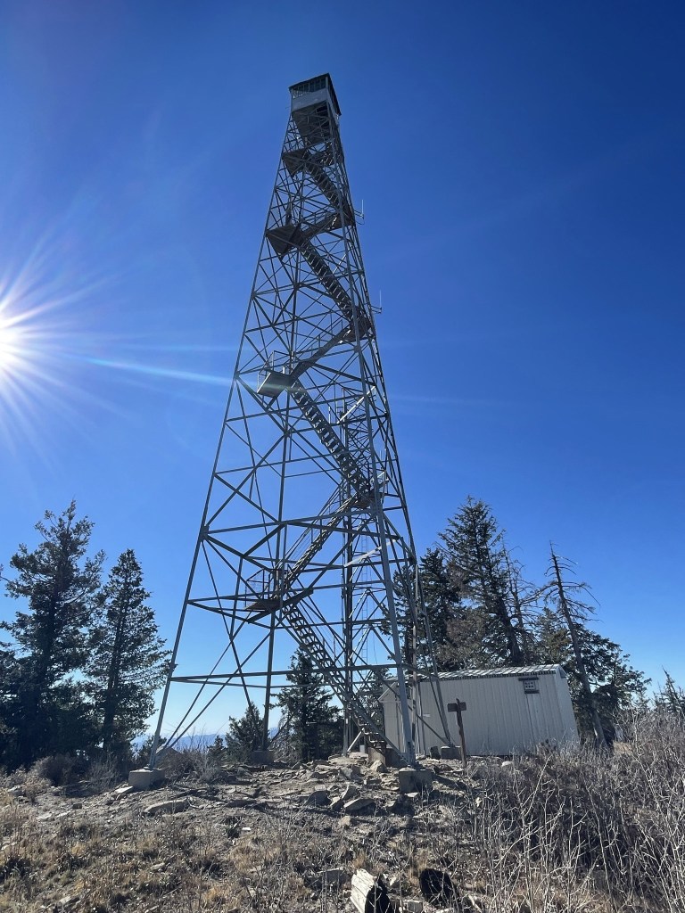
I had a good view of Mount Graham (right), Hawk Peak (center), and the observatory (left center).
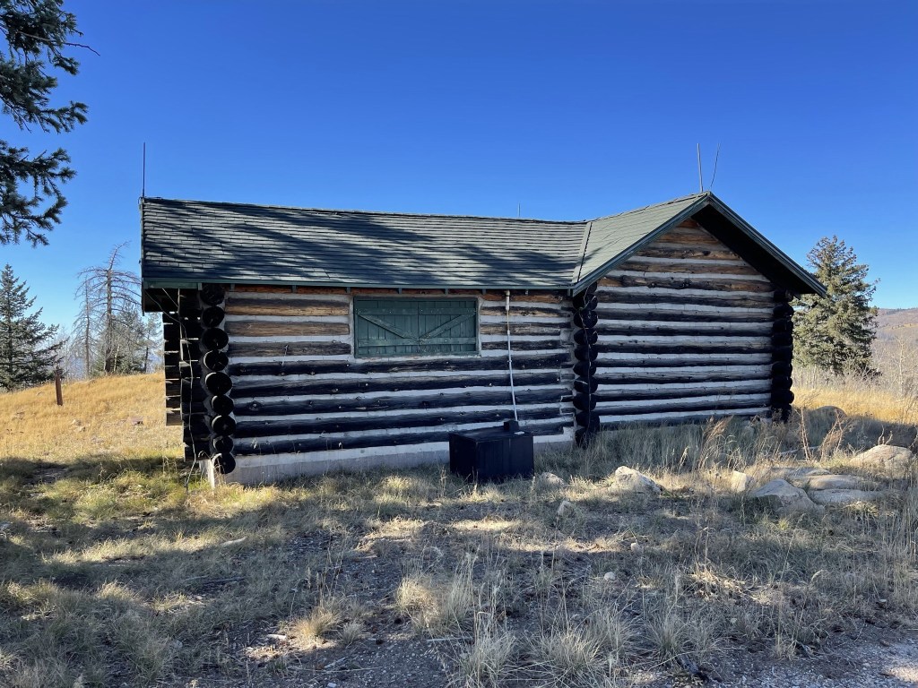
I continued on after a short break. I decided to make a loop hike out of it by taking a connector trail north to the Arcadia Trail, climbing Eagle Rock, and then taking the Arcadia Trail to Shannon Campground. I hiked past a log cabin beneath the summit. I imagine this is where the fire lookout volunteers spend the night.
I hiked north down the narrow trail. It was actually nice to finally not be on a dirt road.
At 3.1 miles I reached the Arcadia Trail, which actually leads all the way from Shannon Campground down to Arcadia Campground, where I had spent the previous night.
I left the trail shortly after to climb to Eagle Rock, which involved some fun class 2 scrambling.
I reached Eagle Rock at 2:40pm at 3.2 miles!

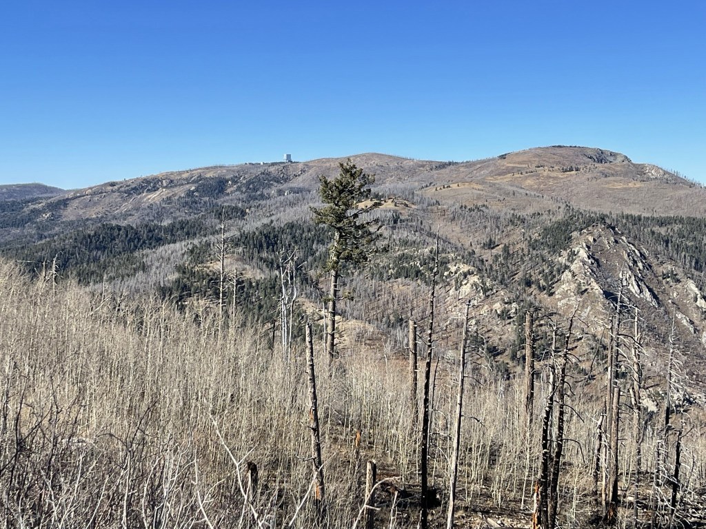
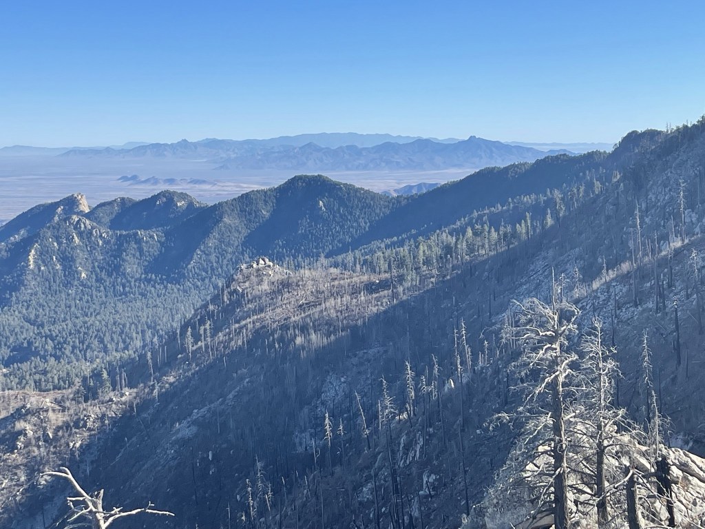
I could see the towers atop Heliograph Peak.
I also had a good view of Chiricahua Peak to the southeast, with Dos Cabezas Peaks in the foreground.
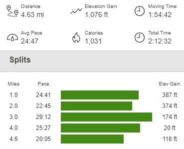
I then returned to the trail, hiked through Shannon Campground, and returned to the car at 3:19pm. This hike totaled 4.63 miles, 1076 feet elevation gain, and 2:12:32 total time.
I packed up and made the long drive back to Tucson. I was planning to climb Mount Lemmon the following day, so I drove up the Mount Lemmon Highway and found a nice spot to spend the night on Incinerator Ridge Road.
