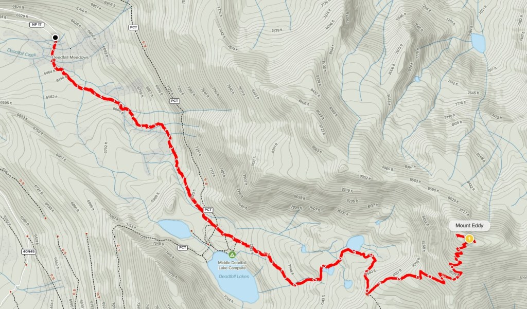
Mount Eddy
Mount Eddy is a 9025 foot mountain in Northern California. It is the high point of both the Klamath Mountains and Trinity County. It has the odd distinction of being the highest mountain in the country west of interstate 5. It is also 1 of only 57 mountains in the contiguous United States with at least 5000 feet of prominence (usually called an ultra-prominent peak). Despite all this, it is often overshadowed by its massive neighbor to the east – Mount Shasta. Mount Eddy isn’t far from I-5 so I thought it would be a perfect pit stop on my way north into Oregon. I had driven nearly the whole way from Yosemite the previous day, stopping about 20 minutes short of the trailhead on Forest Road 42N17 in Shasta-Trinity National Forest. I slept in a little and then drove the rest of the way to the Deadfall Meadow Trailhead and began hiking at 6:54am at 6433 feet above sea level. There were 2 other cars parked there when I arrived.

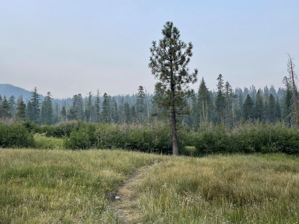
It was pretty smoky as I got started. The temperature was pretty warm for so early in the morning that I didn’t need a jacket.
I crossed a few small creeks early on in the hike.
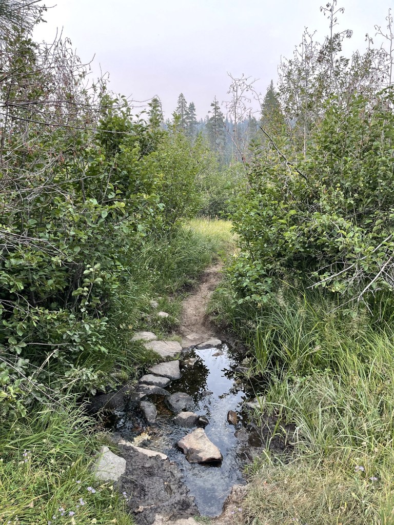
There were numerous muddy spots on the trail as well.

I entered the woods and began gaining elevation.

I crossed another small creek.

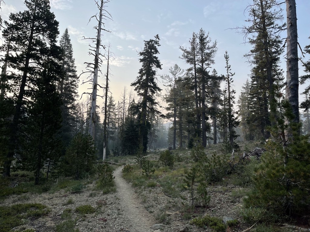
The forest was beautiful despite the hazy conditions.
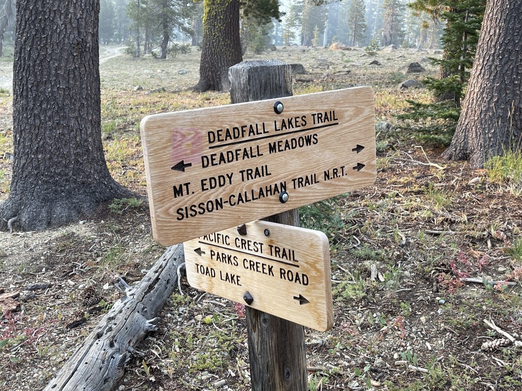
At 1.6 miles the trail crossed the PCT. I continued straight towards Mount Eddy.
At 2.1 miles I spotted a couple deer off to the right.

The sun made its first appearance as I continued to steadily gain elevation.

At 2.3 miles I passed a hiker on his way down. He had summited the day before and spent the night camped nearby. He said the smoke had been much worse the previous day. At 2.4 miles I reached a lake at 7740 feet.

I spotted dozens of little frogs in the lake.
At 2.6 miles I reached another lake that was quite a bit larger than the first. Mount Eddy towered 1300 feet above the lake.
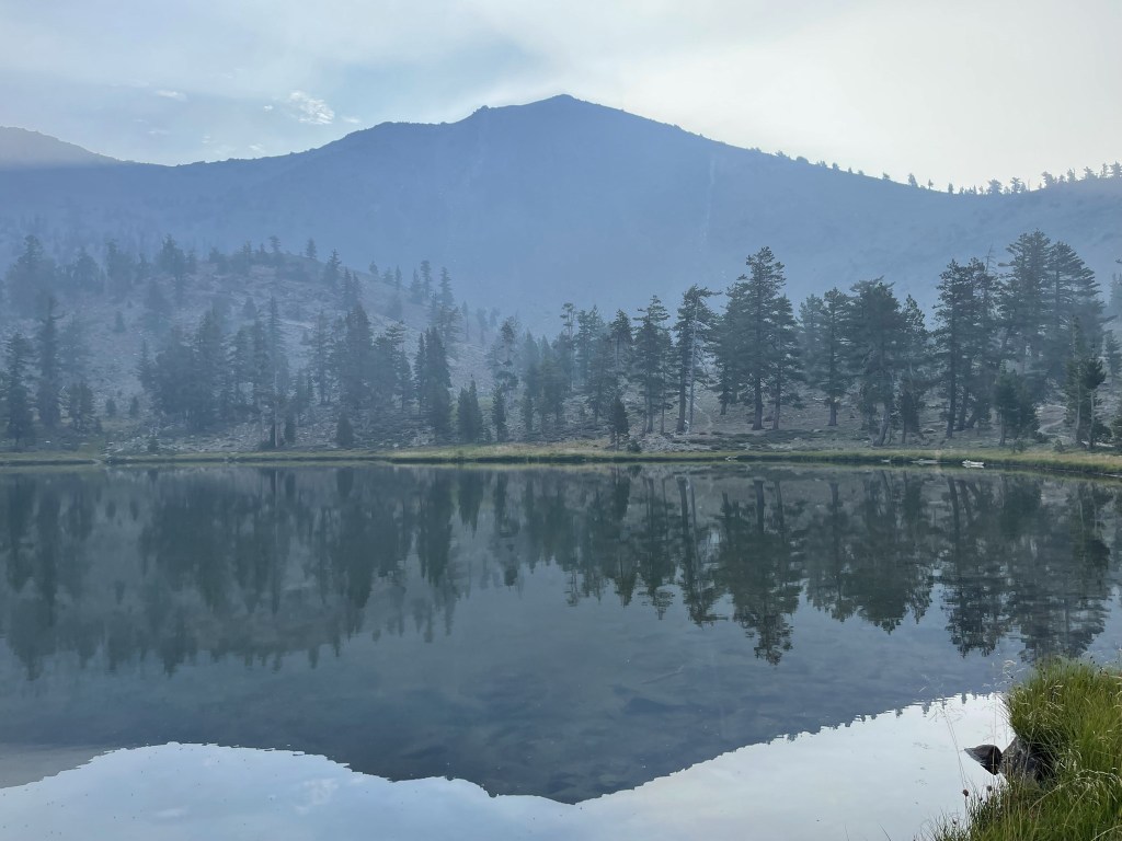
The lake was quite scenic.

The trail made its way south past the lake and then reached a junction at 3 miles. I went left towards the Mount Eddy summit.

The trail was pretty steep the rest of the way – it gained 1000 feet in 1.1 mile to the summit.

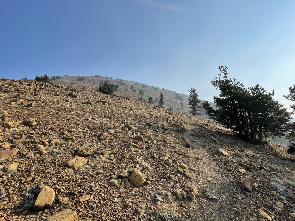
The trees thinned out as I climbed higher. I realized that the tree line was substantially lower than what I’m used to this far north.
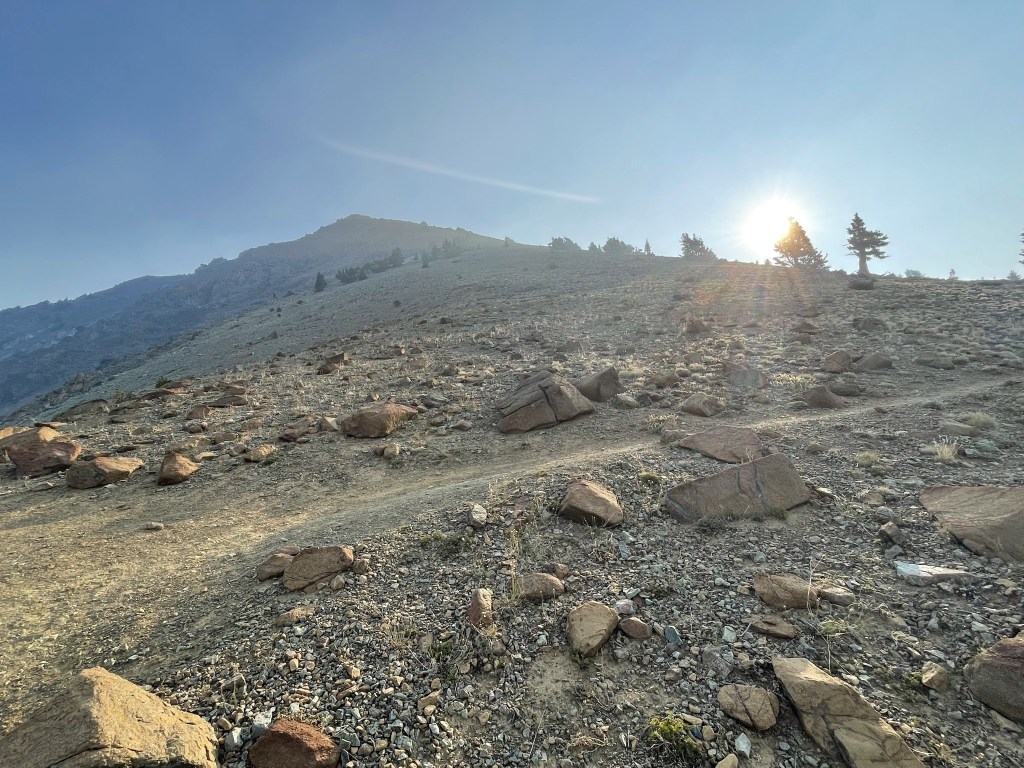
The trail made many switchbacks as it neared the top.
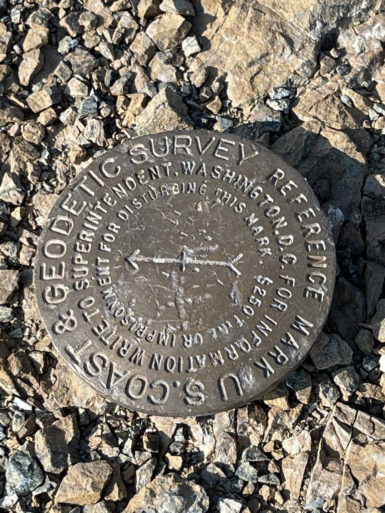
I reached the summit at 8:54am at 4.1 miles! There were 3 register books located on top. All 3 were completely full but I managed to find a blank spot in one of them to sign my name. I think the previous entry was from August 8, but I definitely could have missed a more recent one. I located one reference marker.
The views were disappointing because of the smoke. I was able to see the silhouette of Mount Shasta to the east – my first look at the massive volcano that I hoped to climb at the end of my trip.

There were many flat spots and wind shelters on the summit that would make for good campsites. There were also the foundations of an old fire lookout.

I could see the lakes I had passed on my way up.

I began the descent after a 30 minute break on top.

I retraced my steps back to the trailhead.

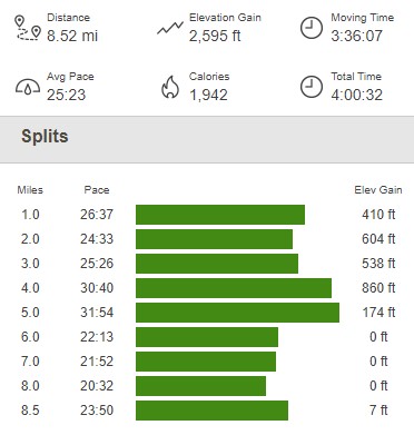
When I was about a mile from the trailhead, 2 guys called out and waved at me from a nearby hillside. They appeared to be a work crew of some sort. I thought they were a trail crew at first, but I don’t think there was another trail up on the hillside. I passed 2 more hikers near the trailhead. I was a bit surprised I hadn’t seen more people out on a Sunday, but perhaps the smoky conditions were keeping people away. I reached the car again at 10:55am. This hike totaled 8.52 miles, 2595 feet elevation gain, and 4:00:32 total time.
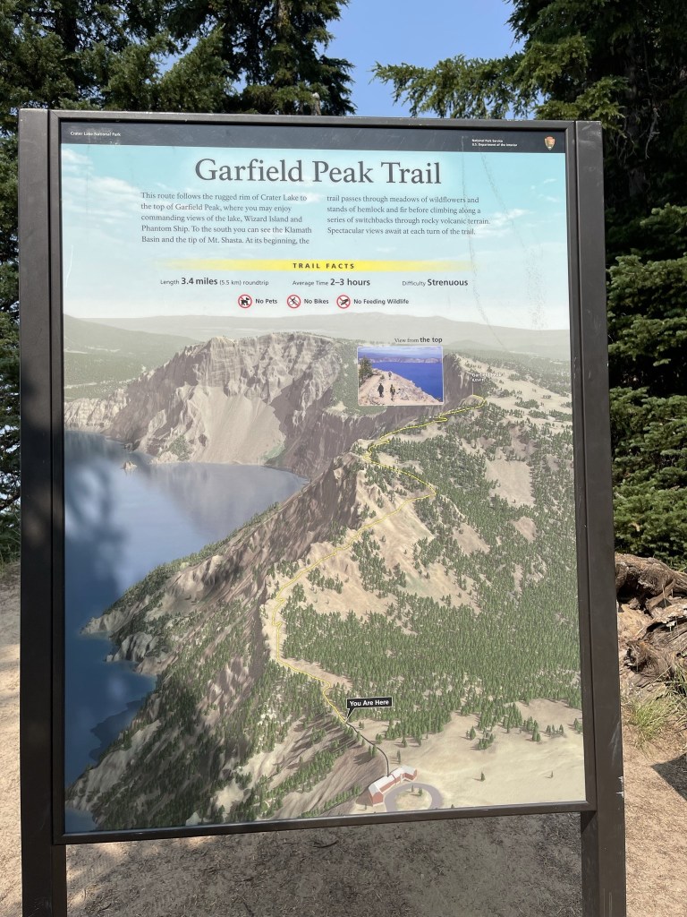
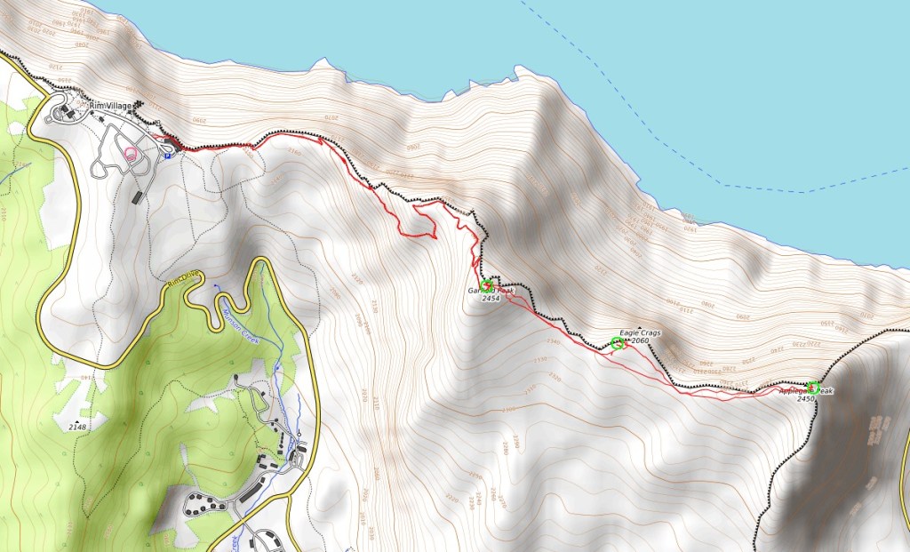
Garfield Peak, Dyar Rock, and Applegate Peak
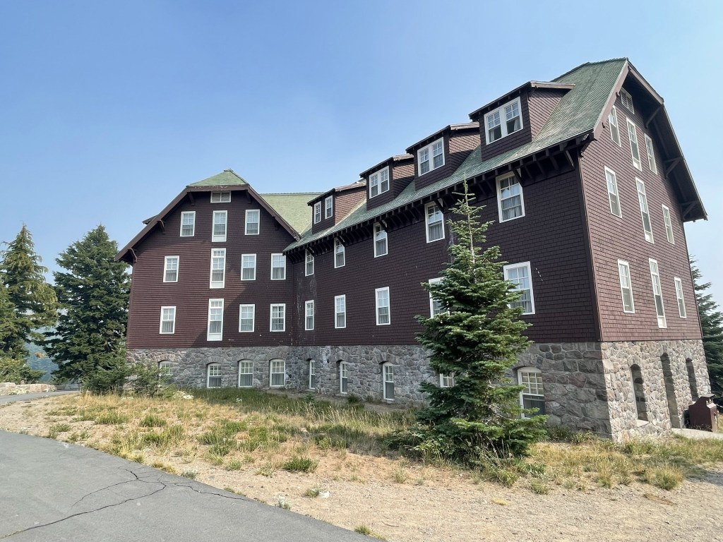
I packed up and drove north on I-5 into Oregon. My plan for the afternoon was to climb Brown Mountain, a 2000 foot prominence peak located in Klamath County. Unfortunately, the smoke was so dense in southern Oregon that I decided to skip Brown Mountain. Even more depressing was that I was planning to climb nearby Mount McLoughlin the next day, but I decided to skip that one too due to the smoke as well. I was really looking forward to McLoughlin since it is the southern-most 9000 foot volcano in Oregon. Instead, I fast forwarded a few days in my itinerary to hopefully escape to less smoky conditions in central Oregon. The forecast looked more favorable for Diamond Peak the next day, so I decided to head there and make a stop in Crater Lake National Park along the way. I drove in through the south entrance and parked near the Crater Lake Lodge. My plan was to do a quick climb of 3 peaks along the southern rim of the lake: Garfield Peak (8054 feet), Dyar Rock (7840 feet), and Applegate Peak (8126 feet). I began this hike at 3:37pm from 7106 feet above sea level. I left the parking lot and walked east on a paved path behind the lodge.
I could see the lake below, but I could barely make out Wizard Island and the peaks on the far side of the rim.

At 0.3 mile I reached the end of the pavement at the official trailhead.
From there the trail headed east, gaining elevation as it followed the rim of the crater.

There were some cool rock features along the rim.
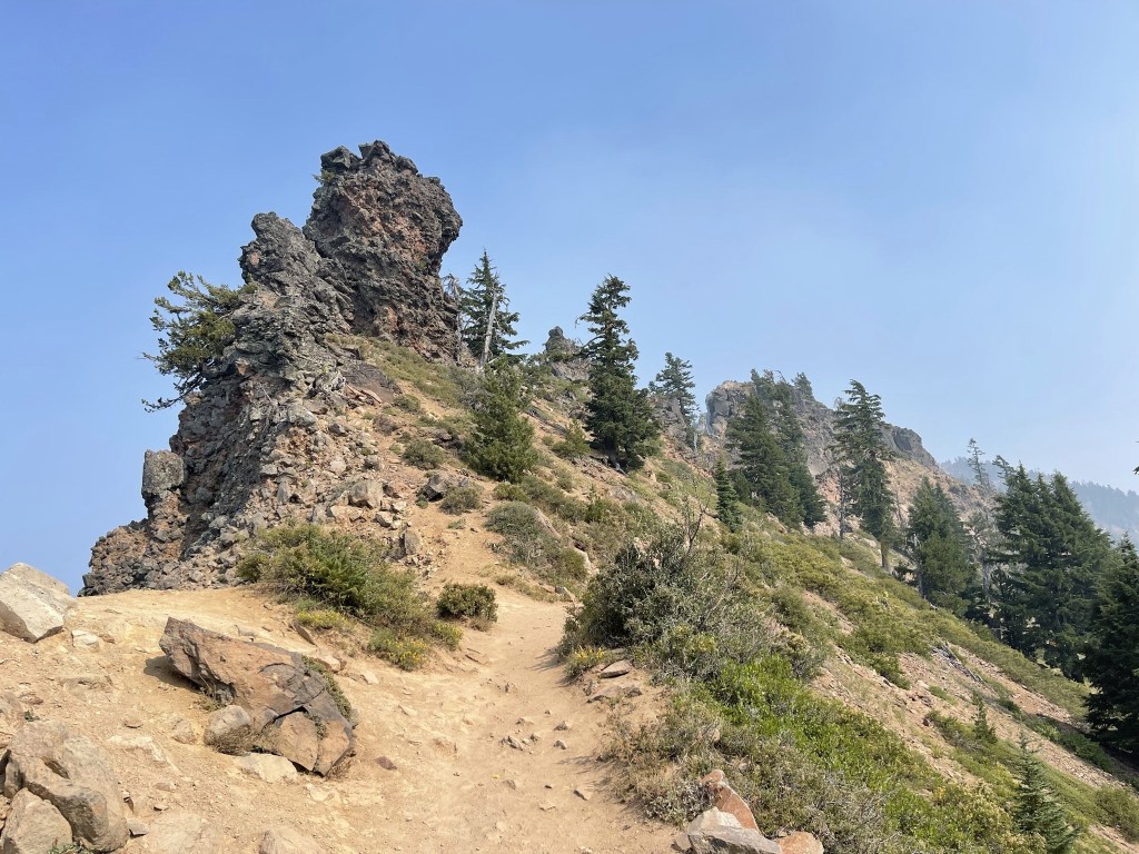
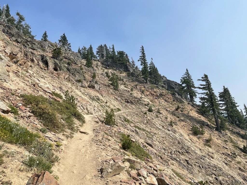
The terrain got rockier as I climbed higher. The trail made a few switchbacks as it approached Garfield Peak.
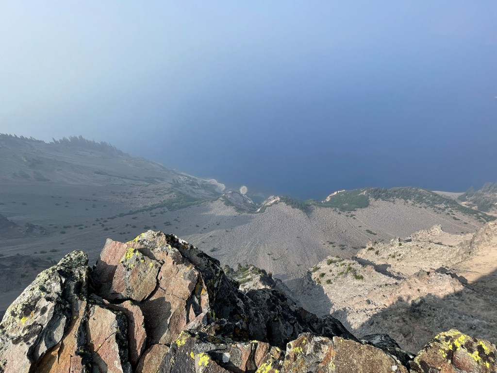
I reached Garfield Peak at 4:23pm at 1.8 miles! The smoke seemed to be even worse now than when I started. I could see the lake directly below me, but I couldn’t see the surrounding crater rim at all.

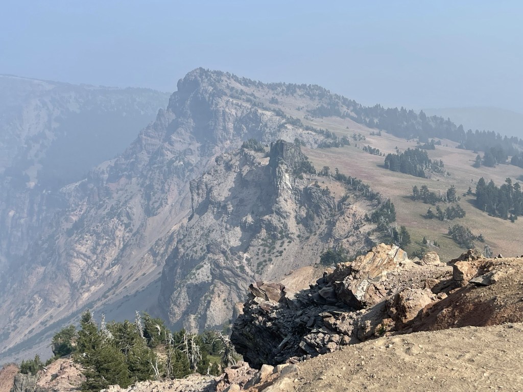
I could see my next 2 destinations to the east: Dyar Rock is the small dark rock sticking up from the rim in the center, and Applegate Peak is the much larger peak right above it.
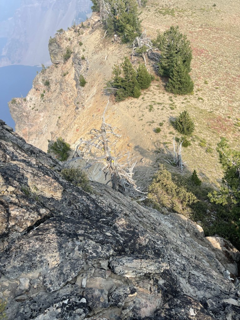
There was no more trail beyond Garfield Peak, so I descended the eastern side of Garfield Peak down a rocky slope.

I crossed a rolling meadow and soon approached Dyar Rock.

I tried to approach Dyar Rock from the southeast, but I was unable to ascend from that side. I looped around to the east side of the rock and found a class 3 ledge system I was able to climb up. It was a little tricky but thankfully I was never right up against the crater rim.

I reached the summit of Dyar Rock at 4:52pm at 2.4 miles. My knees were shaking a little since it was a 1700 foot drop straight below to the surface of the lake!
I climbed carefully down the ledges to continue to Applegate Peak.
I crossed another rolling meadow area along the rim on the approach to Applegate.

The final push to the peak was pretty steep. I reached the summit at 5:20pm at 3.1 miles!

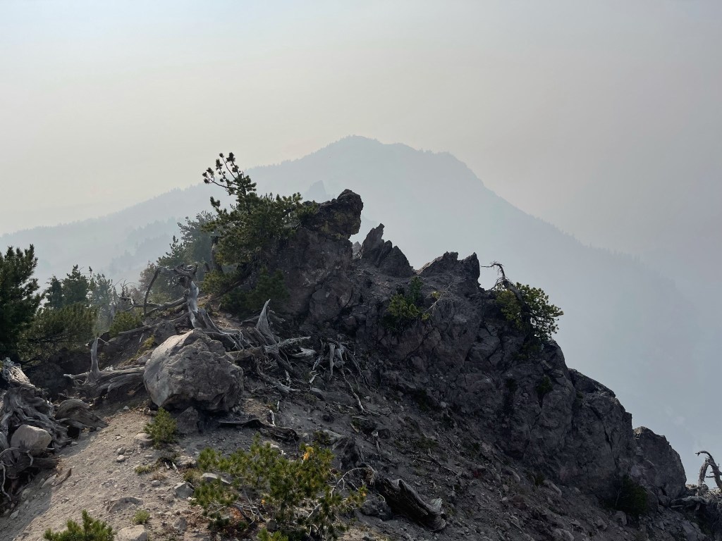
Looking back at Garfield Peak through the smoke:
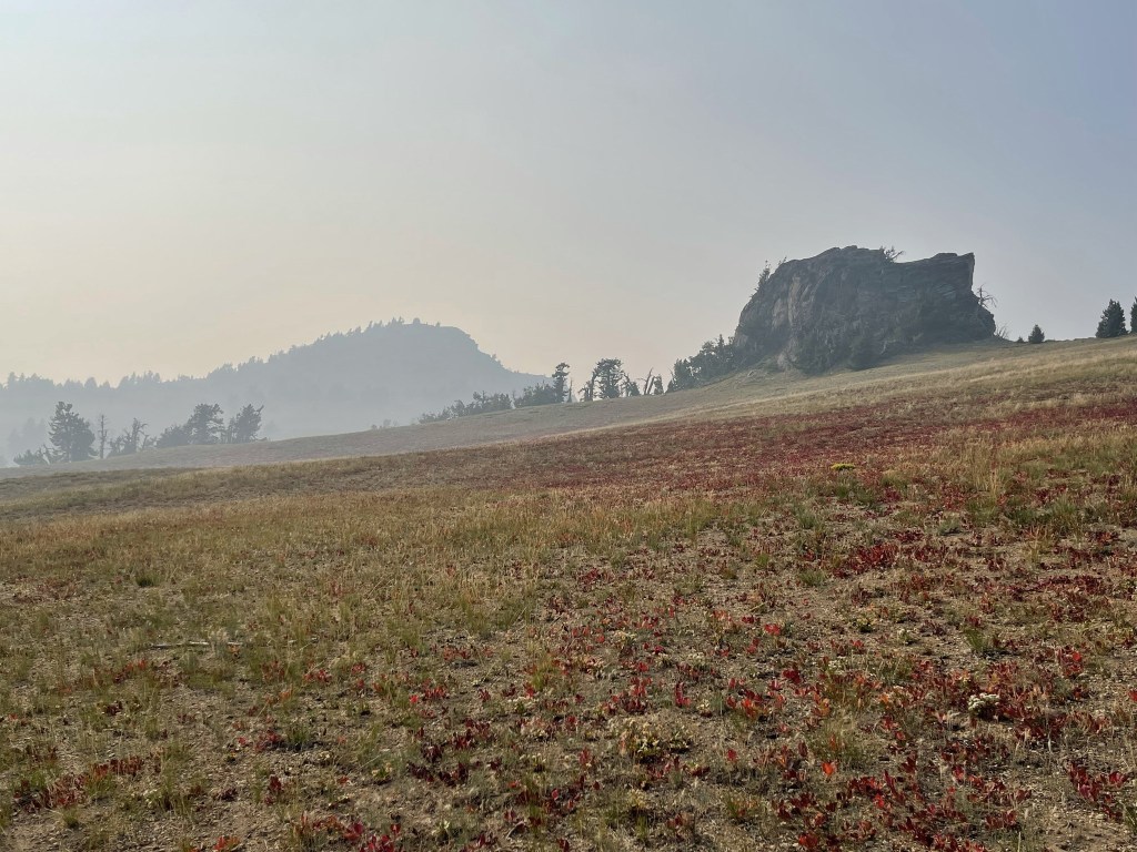
I took a short rest and then started my return to the trailhead. Garfield Peak is left-center and Dyar Rock is on the right:
The re-ascent to Garfield was very steep. Once at the summit of Garfield, it was an easy hike back along the trail. I saw a young buck near the parking lot. As I’ve seen in other national parks, the deer kept its distance but was not very afraid of me.

I reached the car again at 6:52pm. This hike totaled 6.2 miles, 2152 feet elevation gain, and 3:16:00 total time. Posting my Peakbagger track below since I accidentally deleted my Alltrails one:
I packed up and drove north around the west side of the lake and then exited the park. I recalled my first visit to Crater Lake 3 years ago where I had basically the same views/experience. It was very smoky that year as well, but I do remember it clearing up throughout the day I was there. Anyway, I reached the Rockpile Trailhead in Williamette National Forest after 20+ miles of dirt roads and had a very good night of sleep.
