Diamond Peak
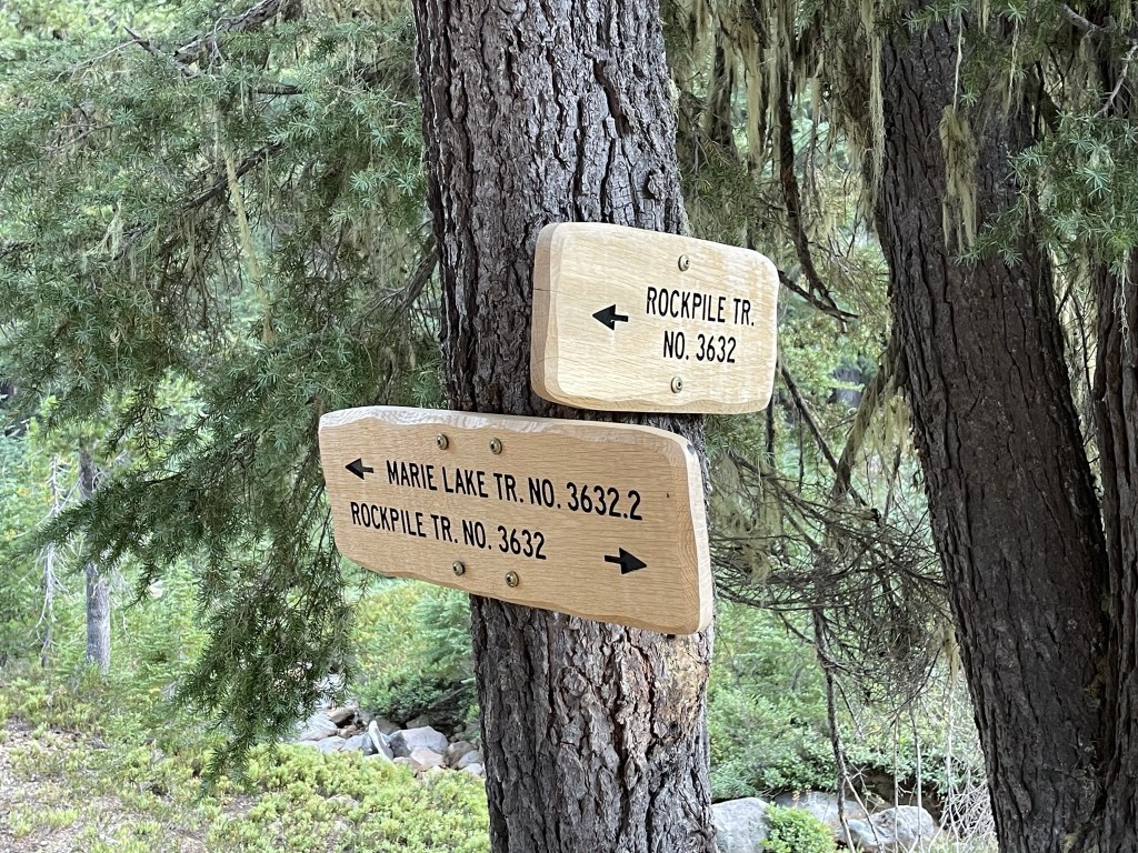
Diamond Peak is an 8744 foot Cascade volcano located in Williamette National Forest in Central Oregon. While not as high as other volcanoes in the region, it is the highest peak between Mount Thielsen and Mount Bachelor, plus it commands over 3000 feet of prominence. I had driven to the Rockpile Trailhead the night before. This is a long drive that requires over 20 miles of dirt roads from Highway 138 to the south. I would recommend following Google Maps directions, but it is important to remember how to get back out since there is no cell service at the trailhead. I started hiking at 5:49am from 5194 feet above sea level.
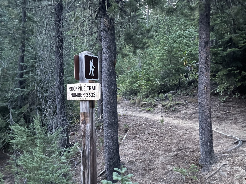
At 0.2 mile I reached a permit station. I filled out the free self-issued permit and put it in my pack.

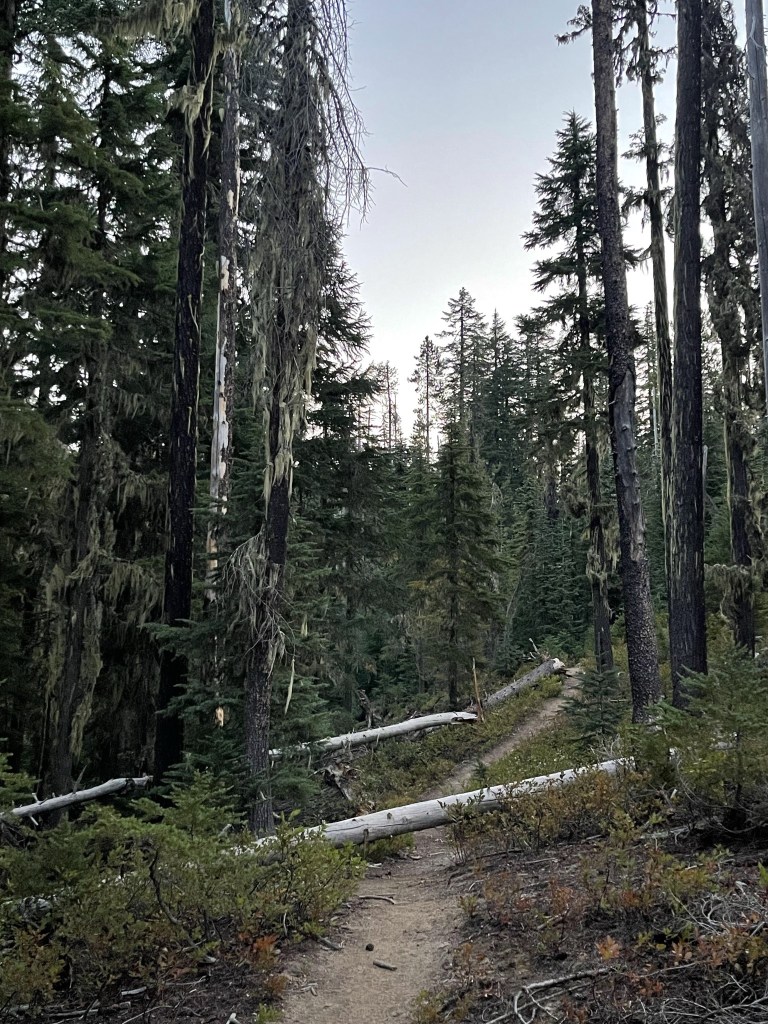
I hiked east through a beautiful pine forest.
At 0.5 mile I entered the Diamond Peak Wilderness.

At 1 mile I reached a trail junction and continued straight on the Rockpile Trail. Don’t be tempted by the Diamond Peak Trail – it just heads north from here, skirting around the western side of the mountain.

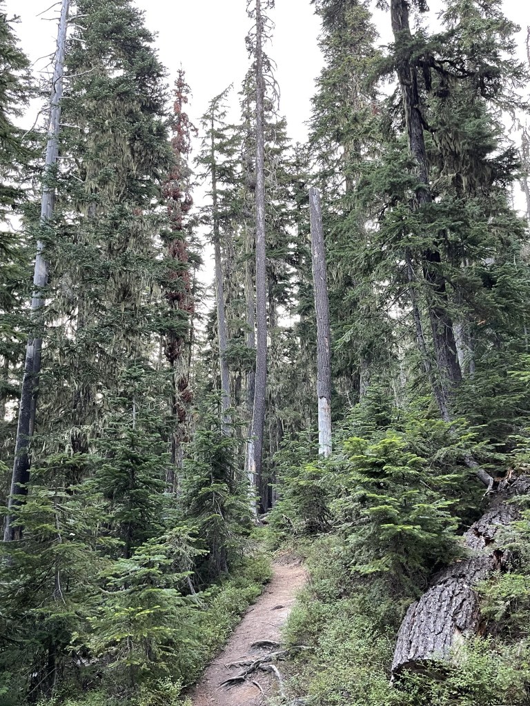
The trail continued east and then curved to the northeast.
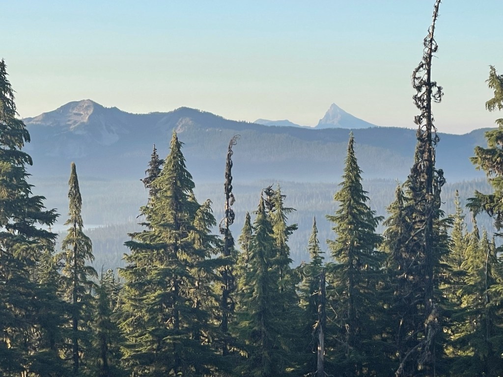
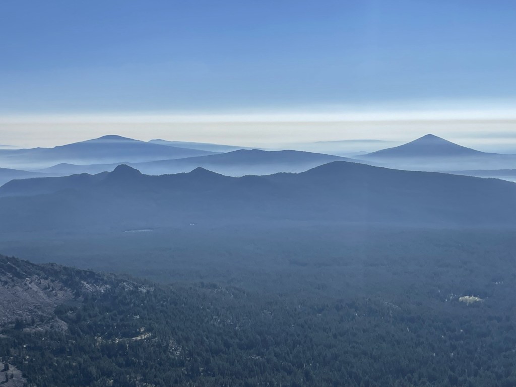
At one point there is an opening in the trees, and I had a great view to the south towards Mount Thielsen. These were the clearest skies I would have the entire trip.
I reached another trail junction at 2.4 miles. You could continue east here on the Rockpile Trail to the PCT, and then head north on the PCT until you reach the Diamond Peak Climbers Trail. This route is pretty circuitous, so instead I took the trail towards Marie Lake. The Marie Lake option is much shorter but requires about a mile of cross country between the lake and the climbers trail.
I reached Marie Lake a short while later at 2.6 miles. The elevation at the lake is 6031 feet.
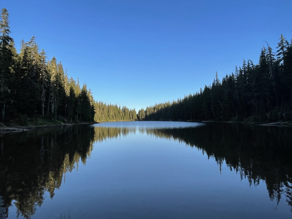
The trail ended here so I proceeded north through the woods. I could see Diamond Peak still high above me in the distance.

I went over some rolling terrain and then climbed steeply as I continued north.
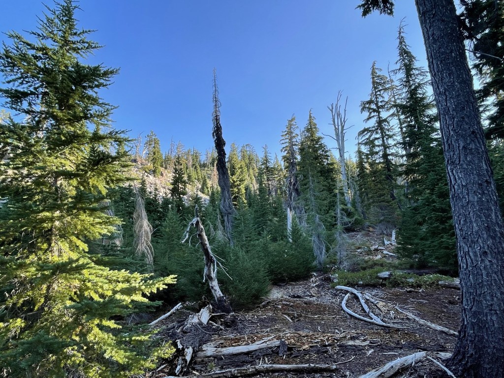
At 3.7 miles I picked up the climbers trail. I still had about 2000 feet to climb from this point.

The trees began to thin out as I climbed above 7300 feet.
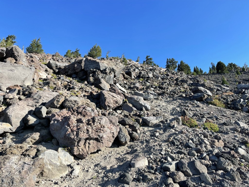
The trail became rockier and more difficult to follow. There were numerous braids that split apart and came back together further up.

I climbed above the tree line around 8000 feet as I approached a false summit.

I reached the 8439 foot false summit at 4.6 miles. Still about 0.4 mile and 300 feet to go from here!

Interestingly, I found a reference marker on the false summit.

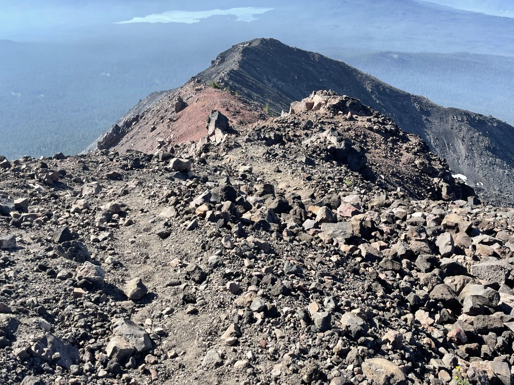
I hiked directly north along the ridge. There were a few gendarmes blocking the way which I generally stayed to the right (east) of.

Almost there!

I reached the summit at 9:07am at 5 miles!

I had an excellent view to the north which included the 2nd, 3rd , and 4th highest mountains in Oregon. From left to right: Mount Jefferson (2nd), North Sister (4th), and South Sister (3rd).

A slightly different north view: North Sister, South Sister, Broken Top, and Mount Bachelor.

Western view:
It was starting to look smokier to the south.

Eastern view:

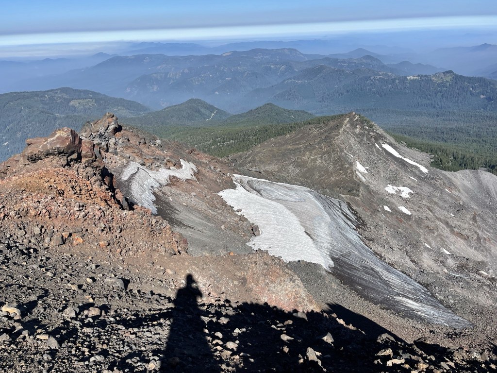
I could see snowfields on the north-facing slopes.
I began descending after a lengthy break. I hiked south along the same ridge I had ascended.
I reached the false summit again at 5.3 miles. From there I made the steep descent back down the trail. It alternated between loose rock and sand, so I was able to plunge step down parts of it, but I also fell on my butt more than once.

At 6.3 miles I ran into 3 other hikers on their way up. They were the only others I would see all day. I left the trail shortly after to head south towards Marie Lake. I picked a line slightly east of my ascent route in order to pass by a small unnamed lake I saw on the topo map. I reached this lake at 6.8 miles. The water looked kind of murky.

I continued on and reached Marie Lake at 7.4 miles. I had some extra time, so I decided to visit 2 minor peaks just off the trail on my way down. These required short off-trail scrambles.

I reached Point 6310 at 8.1 miles and Diamond Rockpile at 8.4 miles.

I had an excellent view of Diamond Peak from the Rockpile.

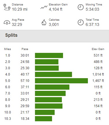
I returned to the trail and hiked the remaining miles back to the trailhead. I reached the car at 12:26pm. This hike totaled 10.29 miles, 4104 feet elevation gain, and 6:37:13 total time.

Paulina Peak
I packed up and drove east, hoping to escape the national forest towards Highway 58 and eventually get to Highway 97. I drove a few miles on rapidly deteriorating dirt roads past Summit Lake before the road became so rough that I decided to turn around. I was very frustrated since I probably wasted 30-40 minutes by the time I had backtracked to the west. Thankfully I remembered how to navigate the maze of dirt roads to eventually escape south to Highway 138. It’s worth taking note of your drive in when accessing this area since there are dozens of roads going every direction and no cell service. I took Highway 138 to Highway 97 and drove north all the way to Bend. I had gotten the idea in my head that I was going to drive all the way to Eastern Oregon to climb Sacajawea Peak as a replacement for some of the peaks I had to skip in the southern part of the state. By the time I got to Bend it was already 4pm and I still had a 6.5 hour drive to get there. I decided that I wasn’t up for that much additional driving so I would just stay in central Oregon for the next few days. It was pretty late in the day already, so I settled on doing nearby 7984 foot Paulina Peak. Paulina Peak is a 3k prominence peak located in Newberry National Volcanic Monument within Deschutes National Forest. It took me about 40 minutes to drive to the trailhead on Forest Road NF-500. I began this hike at 5:21pm from 6541 feet above sea level.
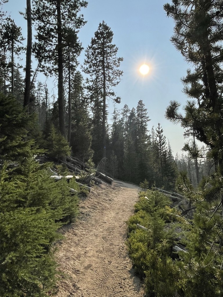
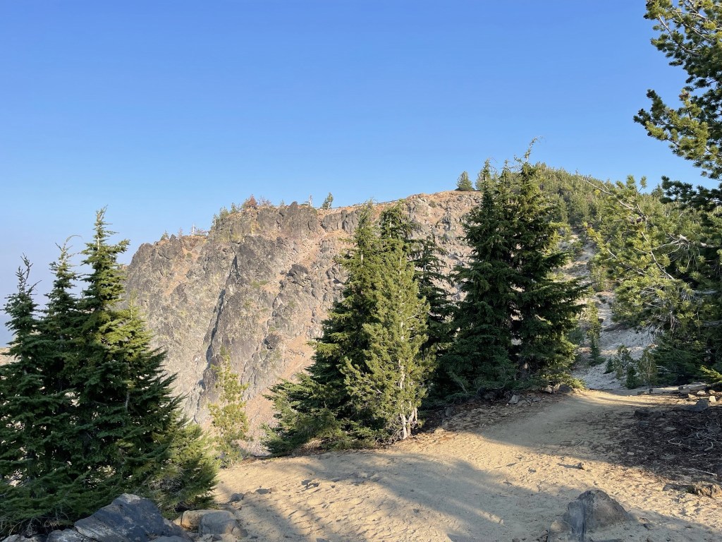
The trail wound its way southeast through the forest. One could also follow Forest Road NF-500 all the way to the summit, but the trail is more direct and undoubtably more scenic.
At 1 mile I got a nice view of the peak to the east.
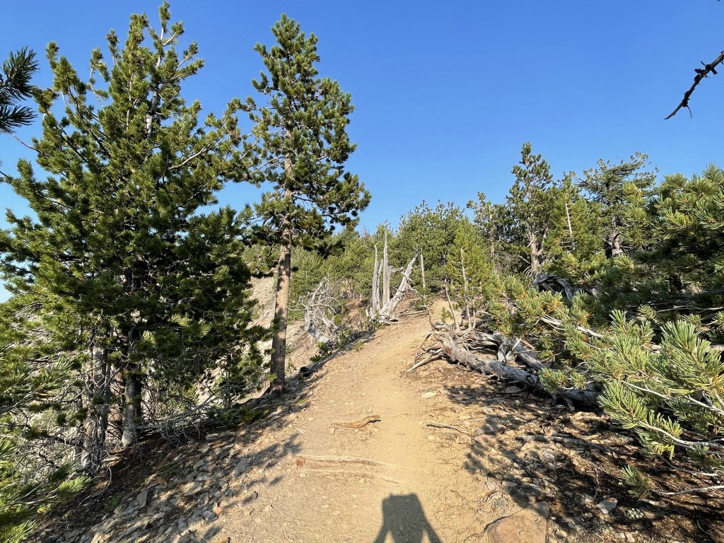
The trees got smaller as I neared the summit.
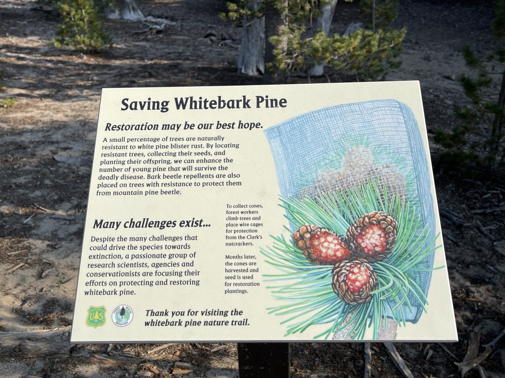
There were a few interpretive signs about whitebark pine along the trail. Whitebark pine is a tree line species in this part of the country, similar to the related limber pine and bristlecone pine found in more southern regions.
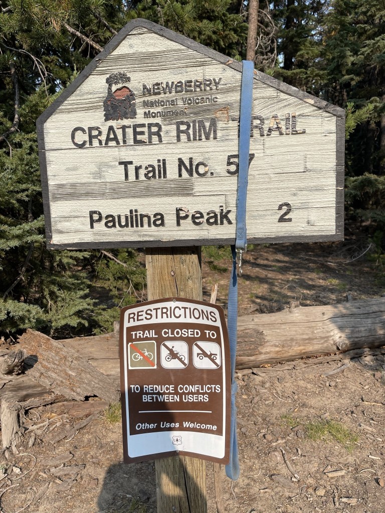
At 1.7 miles I reached a junction with the Crater Rim Trail. I continued straight towards the Paulina Peak summit.

The summit was now close.
I reached the top at 6:20pm at 2.1 miles. There was a small parking lot and a bathroom on the summit.

I explored the summit area for a bit. The smoke was pretty bad so I could barely see Paulina Lake below to the north.

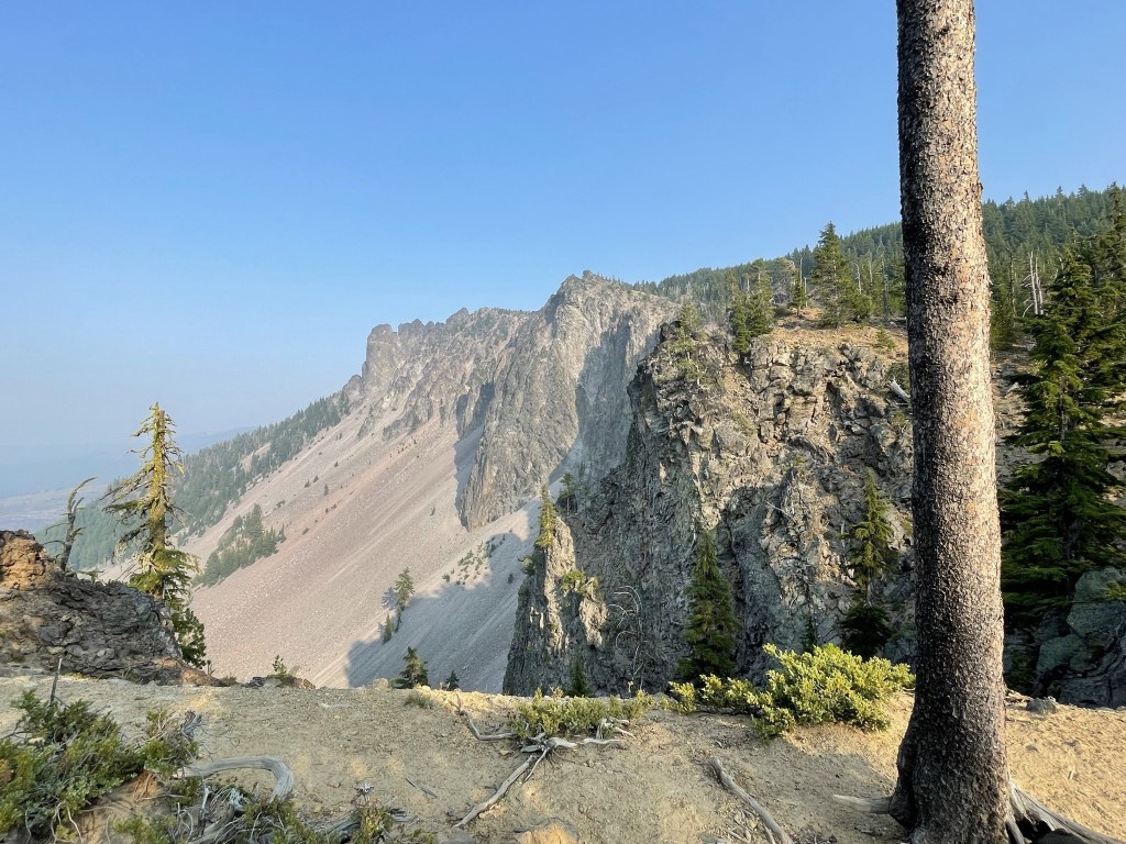
I could see some lava flow off to the east.

I descended along the same trail back to the trailhead.

I reached the car at 7:27pm. This hike totaled 4.35 miles, 1437 feet elevation gain, and 2:05:40 total time.

I packed up and made the 1 hour 15 minute drive to the Maiden Peak Trailhead. I had a great night of sleep.
