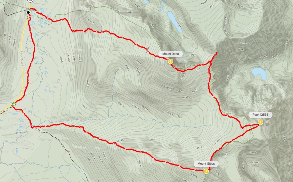
Mount Dana is a 13057 foot peak located on the eastern border of Yosemite National Park near Tioga Pass. It is the 2nd highest peak in Yosemite after Mount Lyell and the northern-most 13er in the Sierra. It can be reached via a short but steep trail that starts at the Yosemite east entrance station. Mount Gibbs is a 12773 foot peak located a mile or so south of Dana. The two peaks are often combined into one long day. I had Friday off work, so I left San Diego after work on Thursday to drive part of the way up. I stopped for the night at Fossil Falls Campground, which lies just off Highway 395 between Inyokern and Olancha. I had camped here the previous summer on another trip and had liked it for its convenient access from the highway. I woke up early on Friday and drove about 3 hours to the east entrance of Yosemite which is located at 9943 feet along Highway 120. Day use reservations are needed to enter the park at this time due to Covid (to keep crowds down). I managed to secure a reservation for Thursday, which was perfect since they are good for 3 days. There wasn’t anyone manning the entrance station this early, so I filled out the self-registration card before proceeding. I parked at a small lot on the north side of the highway just past the entrance. I started hiking at 7:29am from 10000 feet. I began by crossing the highway where I found the trail heading east.
At 0.3 mile I passed a small unnamed lake on the left side.

Shortly after that I passed a small pond.
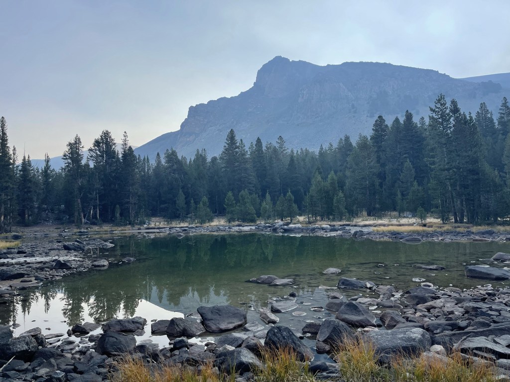
I proceeded east past the lakes.
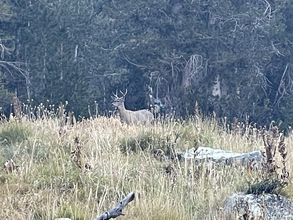
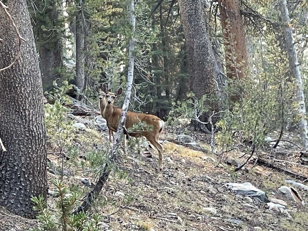
At 0.9 mile I spotted a buck off to the left.
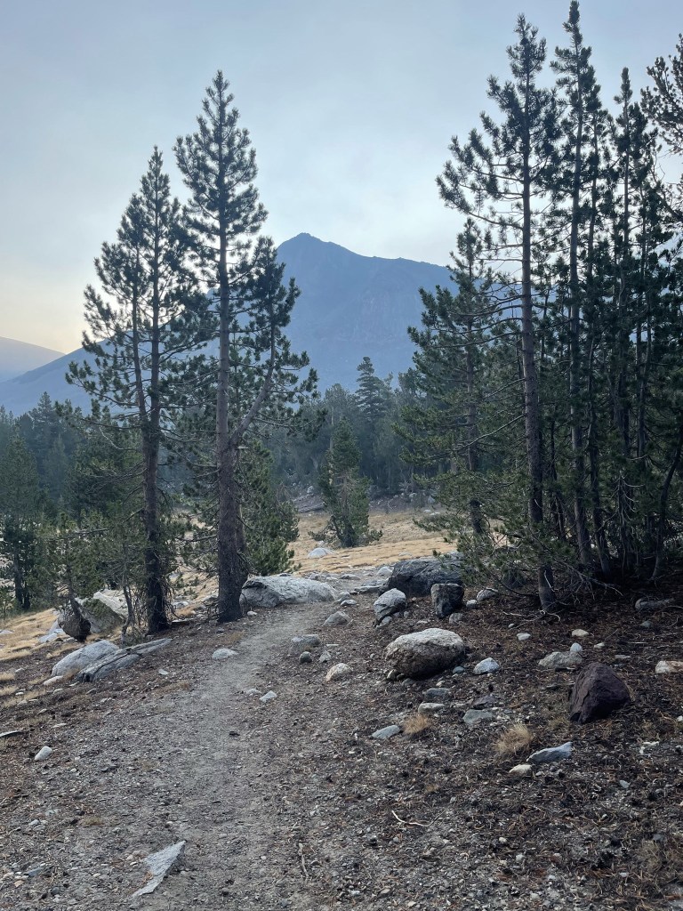
The trail began to get steeper.

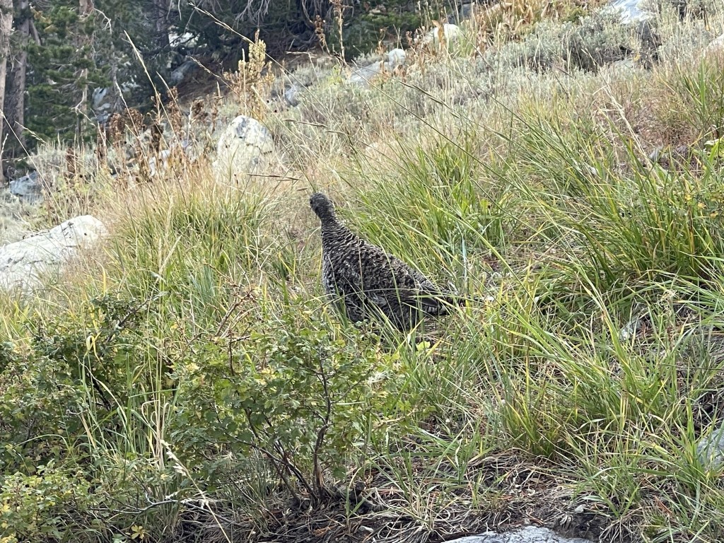
At 1 mile I saw a large bird. I’m not sure what these are but I find them all over the Sierra. They’ve been aggressive in the past, so I gave it a wide berth.
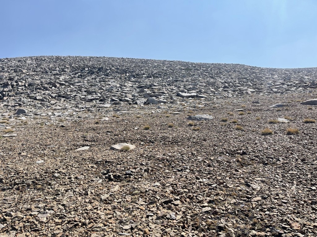
I hiked above the tree line around 10900 feet.
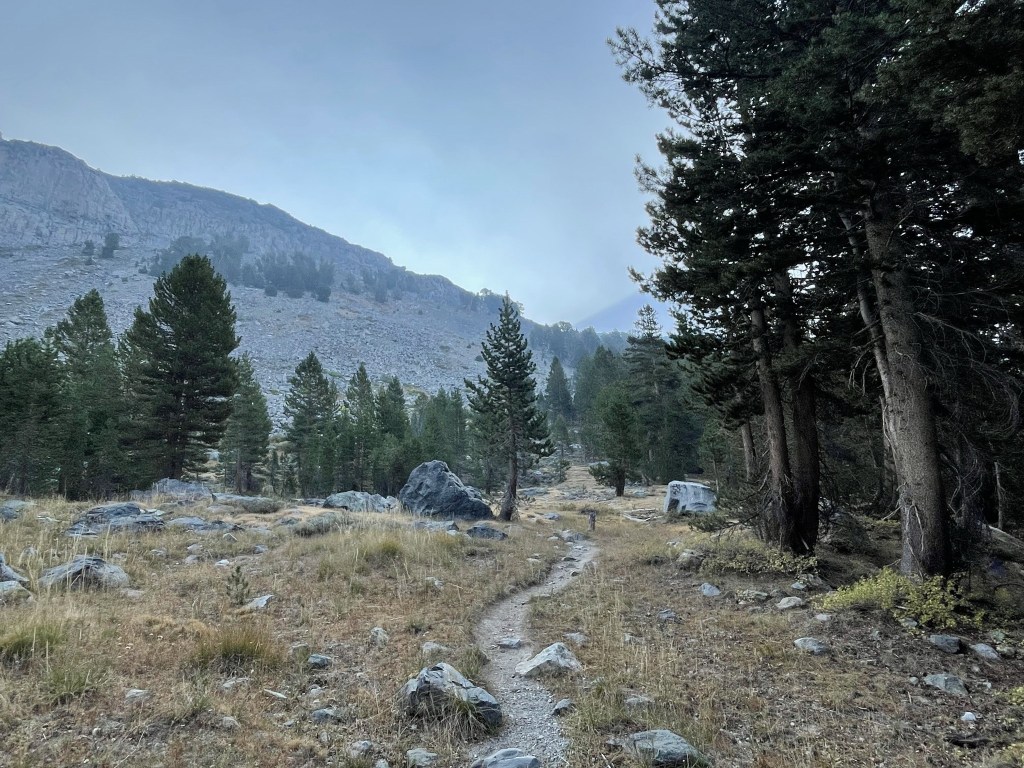
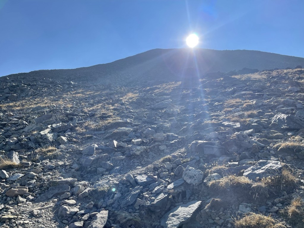
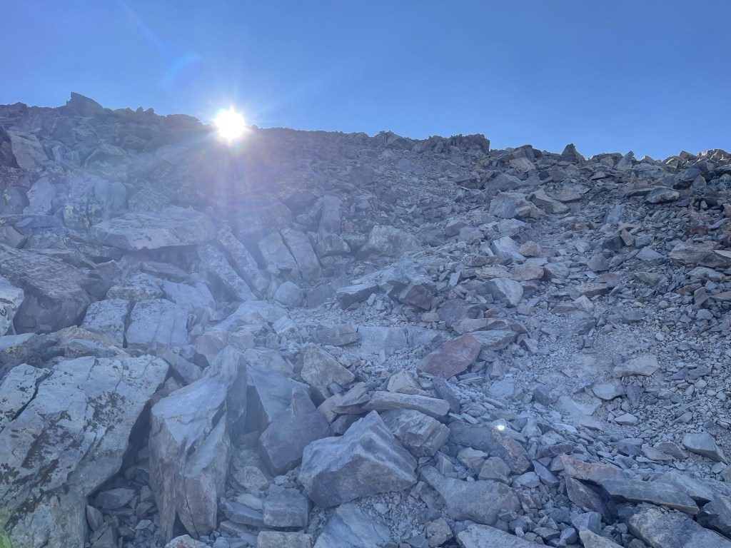
I continued climbing up the steep trail as the sun made its first appearance.

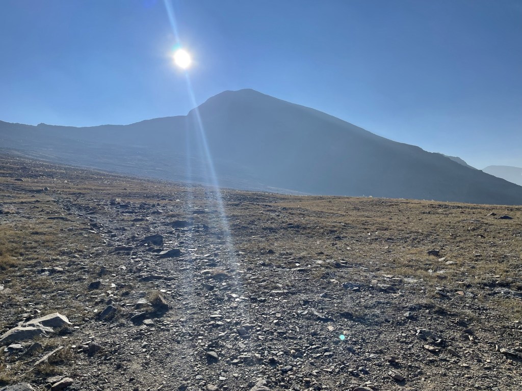
At 1.8 miles I reached a crest and Mount Dana came into full view. I had about 1400 feet to climb from here.
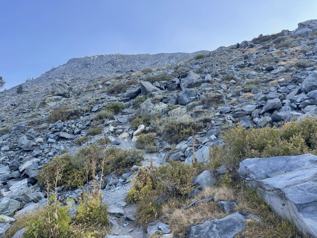
The trail got much steeper again around 12000 feet.
I was actually surprised at how well maintained the trail was. This was definitely the easiest 13er I had ever climbed.
I could see the trail behind me. I noticed 2 hikers making their way up, but they never did catch up to me.

Almost there!
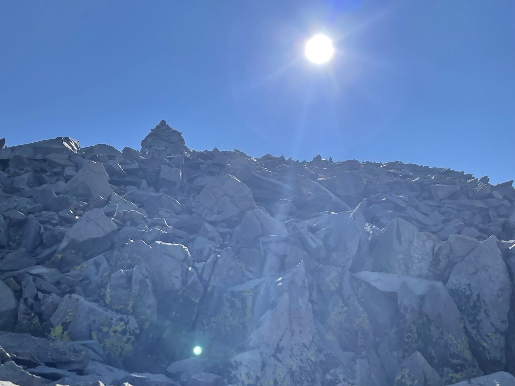
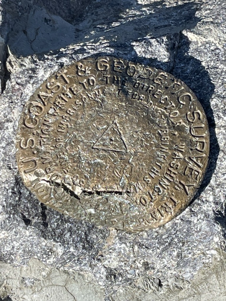
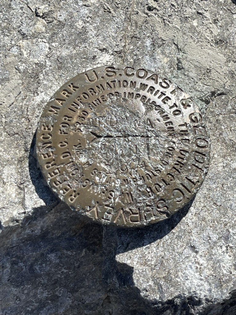
I reached the summit at 9:40am at 2.8 miles! I located a benchmark and one reference marker. Both were pretty beat up. I did not find a register.
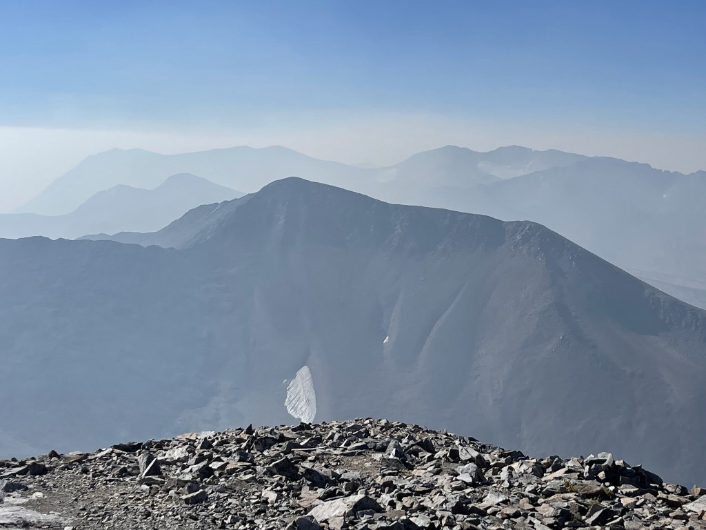
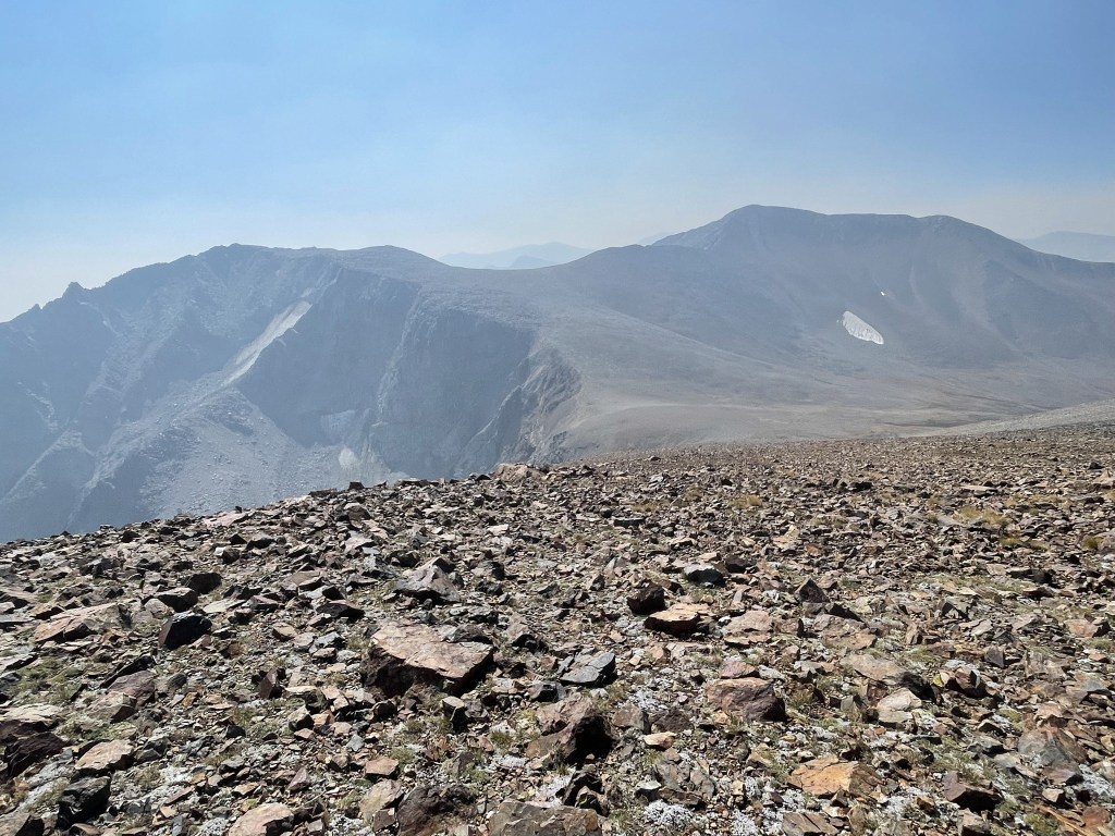
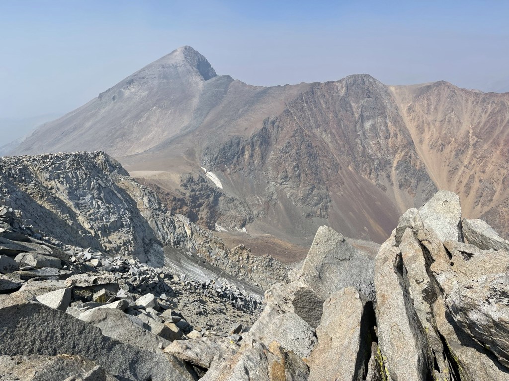
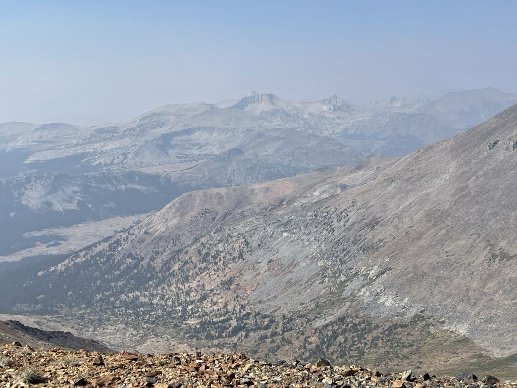
The views were almost non-existent due to smoke. I think the smoke was coming from the multiple fires currently burning in Sequoia National Park, but I’m not 100% sure. To the south I could see my next objective, Mount Gibbs (foreground). Beyond Gibbs I could see Koip Peak and Kuna Peak (right background).
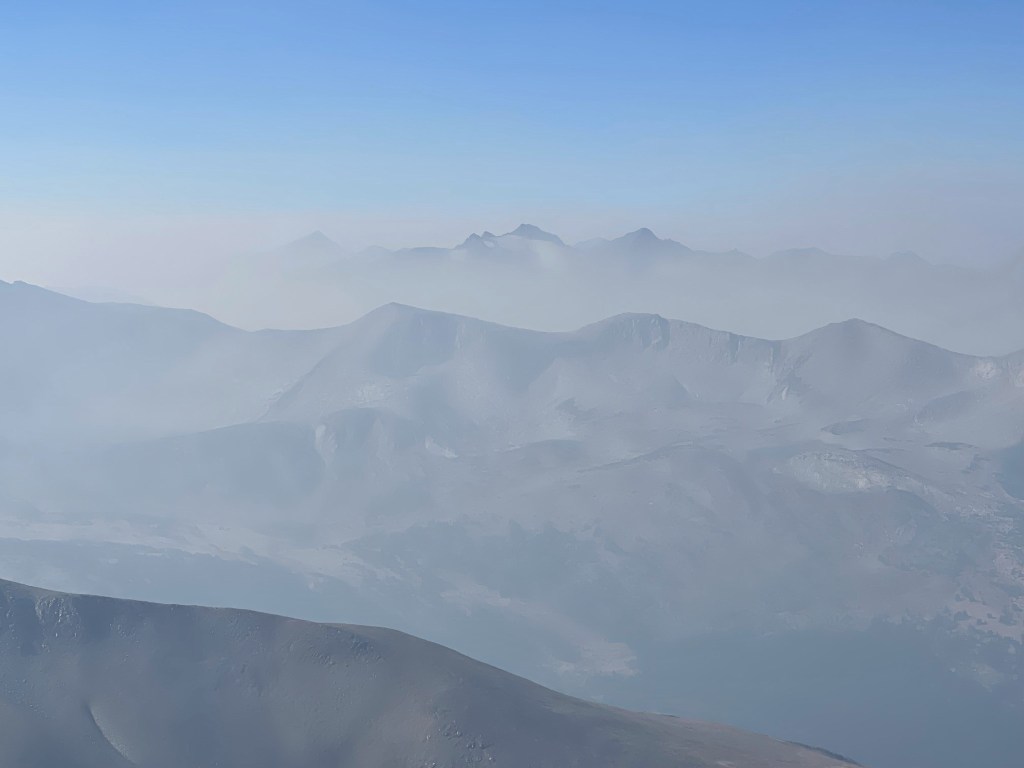
To the southwest I could see Mount Lyell (left) and Mount Maclure (right).
I saw a large bird flying near the summit. Golden eagle perhaps?

I began descending the east slope of Dana after a 20 minute break. There were 2 additional Peakbagger peaks I wanted to climb on my way to Gibbs. The first was Dana Plateau High Point (12440 feet).
The Dana Plateau lies northeast of the summit, and the high point was just a short detour from my main route.
I turned north towards the plateau.
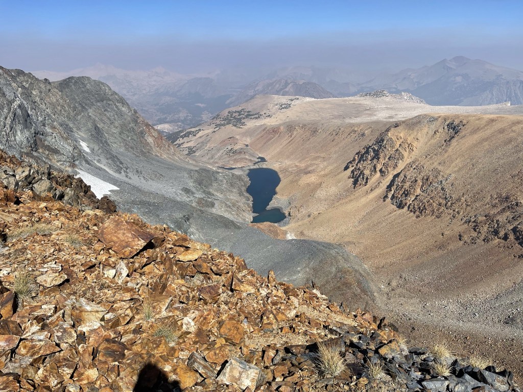
I could see Dana Lake down below.
The ridge narrowed as I approached the peak.
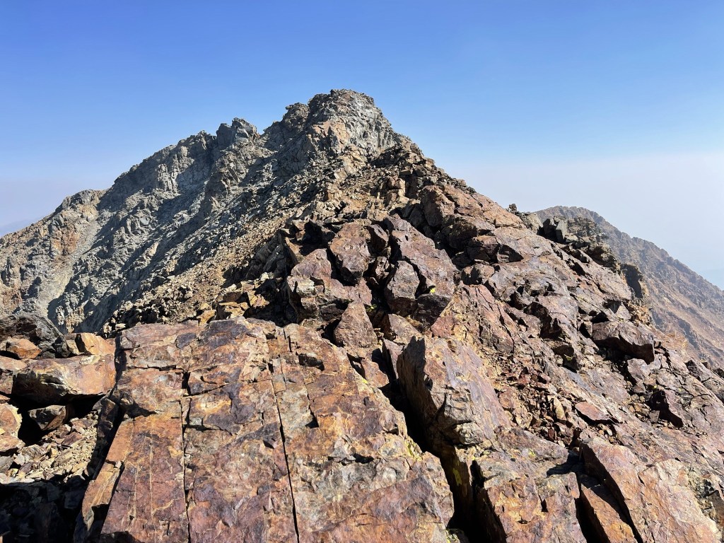
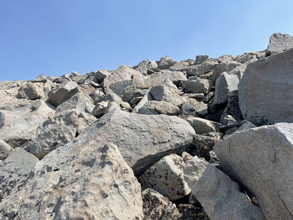
I had just assumed the peak would be an easy walk-up, so I was surprised to find myself doing some class 2-3 climbing along the ridge. I stayed below the ridge on the left side initially and then climbed back up on top of it.

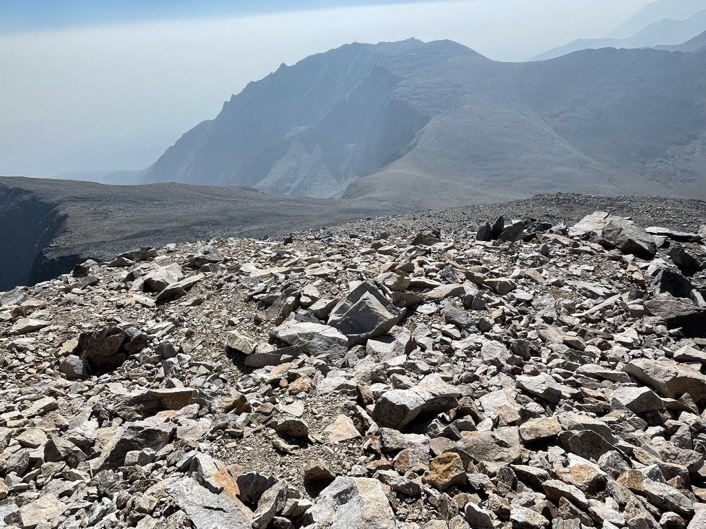
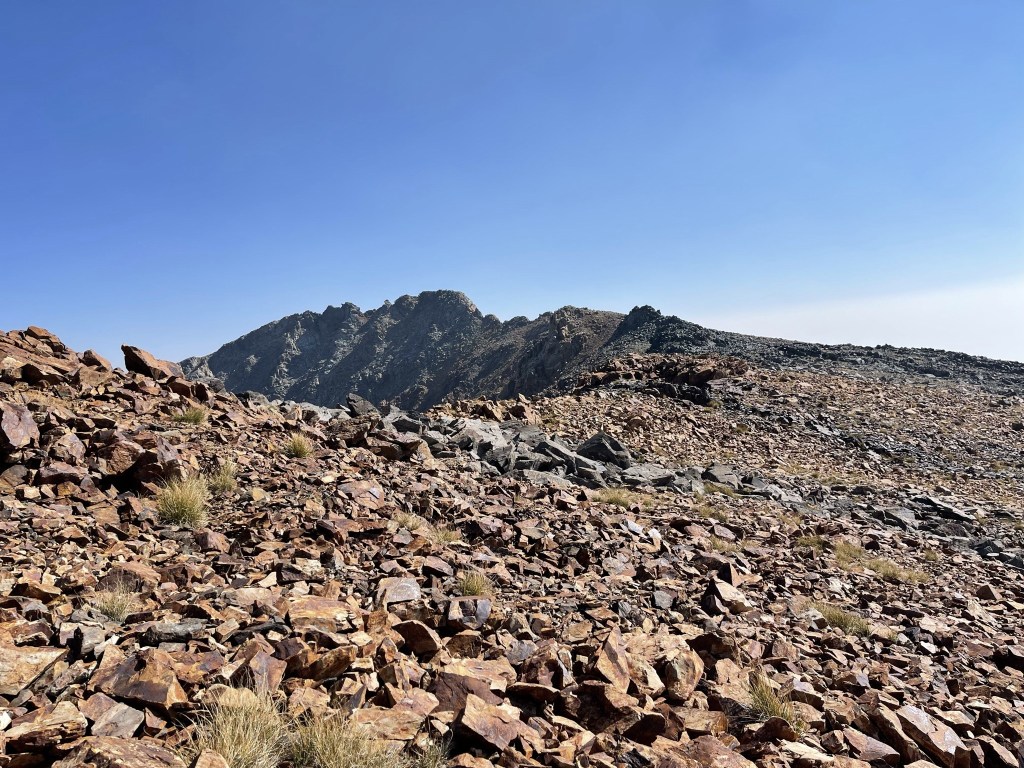
At 3.8 miles I reached the Peakbagger coordinates for the peak, but it turned out to be a false summit. There were a series of pinnacles beyond where I was standing that were definitely higher. The pinnacles appeared to be class 4-5 climbs, so this was as far as I went. I was a bit disappointed, but I had an nice view of the impressive north face of Dana which partially made up for this useless detour.

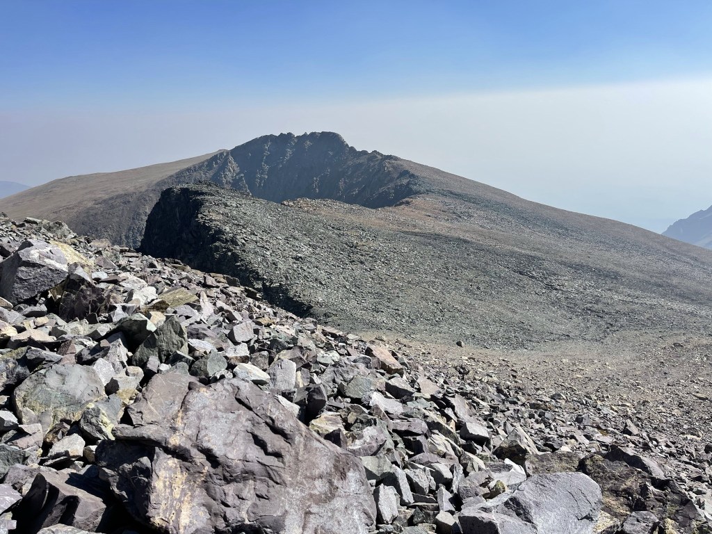
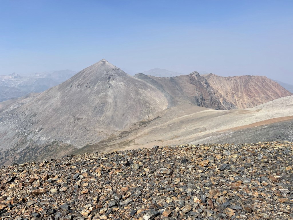
I turned around and began hiking southeast. My next objective was Peak 12565 (left). Mount Gibbs is on the right.
I found some kind of device tied to a rock.

At 4.7 miles I reached the saddle between Dana and Gibbs at 11666 feet.

I turned directly east towards Peak 12565.
The terrain became rockier towards the top.
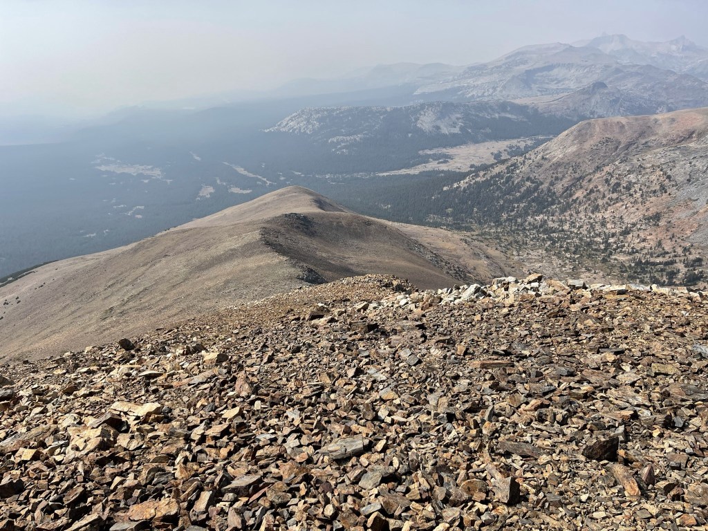
I reached the top at 12:29pm at 5.7 miles! I had an excellent view of Mount Dana and the Dana Plateau to the northwest.
After a short break I continued towards Gibbs.

I reached a saddle along the ridge at 6.2 miles at 12236 feet.

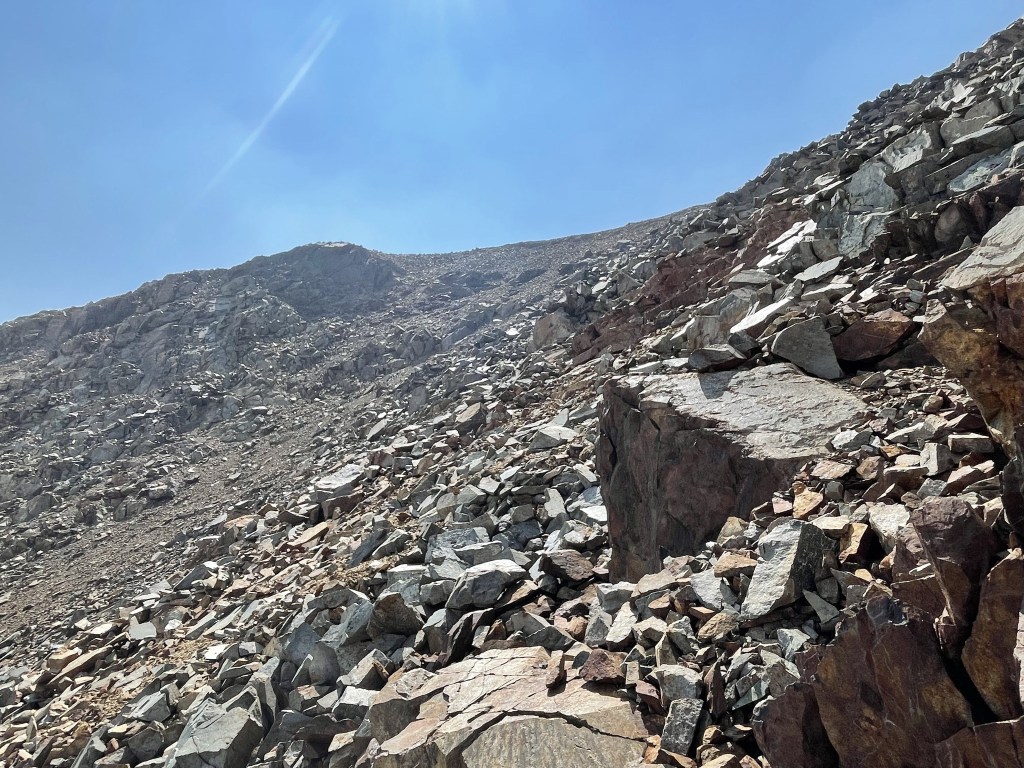
The route was steep beyond the saddle. I followed a vague use trail at times.

The rock was loose towards the top which made it difficult. I didn’t encounter anything above class 2.
I reached the summit at 1:51pm at 7 miles!

I signed the register which had been placed in 2014. The previous entry was from 2 days prior. Reading through the entries indicated that most combine Dana and Gibbs together, but some had climbed Gibbs alone. There was also an older waterlogged register. I had an excellent view of Dana to the north.
To the northwest I could see Mount Conness, which I planned to climb the next day.
I couldn’t see anything else due to the dense smoke. After a nice break I began descending down the west ridge.
The ridge was solid, so I was able to go down quickly.

Dana was visible to the north as I descended below the tree line.
I continued descending as I entered the forest.

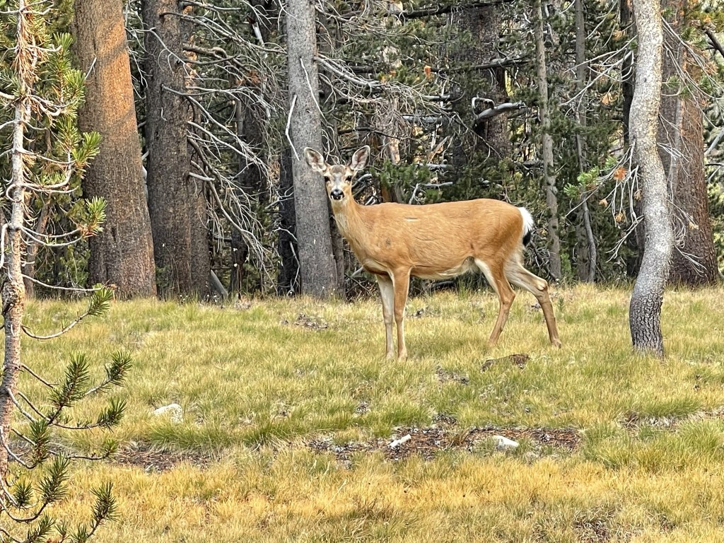
At 9.7 miles I saw 2 deer.
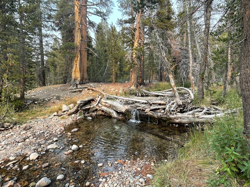
I reached the Mono Pass trail at 10.1 miles. I crossed the Dana Fork of the Toulumne River a short while later.
I saw one more deer at 10.4 miles.
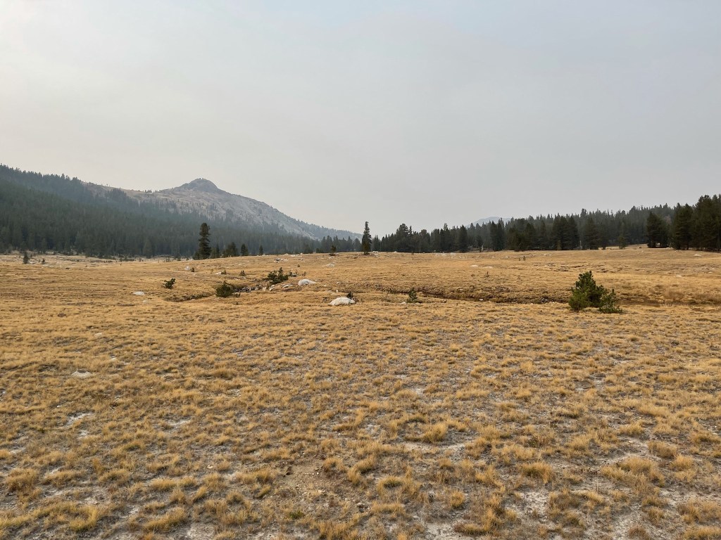
At 10.6 miles I reached the Mono Pass Trailhead parking lot. I was about a mile and a half south of where I started. I hiked north through alternating forest and meadows as I paralleled Highway 120 on my left. An orange sun began to set in the west.

I hiked a little bit away from the highway so I wasn’t right next to it as I proceeded through Dana Meadows.
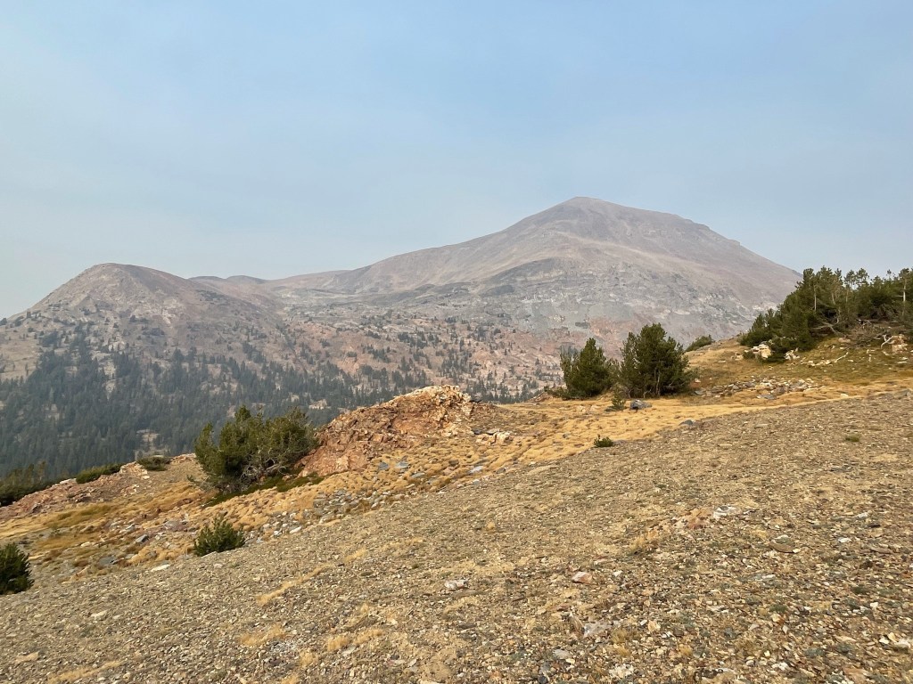
I passed a few more small lakes as I neared Tioga Pass. Mount Dana is the peak sticking up in the center.

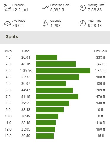
I reached the car at 4:58pm. This hike totaled 12.21 miles, 5092 feet elevation gain, and 9:28:48 total time.
I was planning to hike more in Yosemite the next day, so I wanted to camp nearby outside the park. I ended up finding a nice spot in Inyo National Forest just south of Mono Lake.
