Clouds Rest
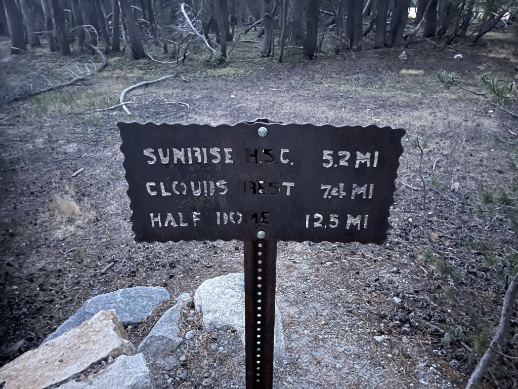
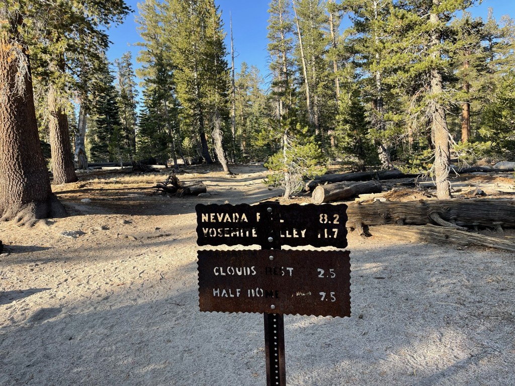
Clouds Rest is a 9926 foot mountain that rises over 5000 feet above Yosemite Valley. Along with Half Dome, it is one of the iconic locations in Yosemite National Park and an extremely popular hike. Unlike Half Dome, the standard route does not require a permit, so it is an excellent backup option if you are unsuccessful in the lottery. The easiest route to Clouds Rest begins from Tenaya Lake along Highway 120. I woke up early from my campsite just outside the park near Mono Lake and made the 45 minute drive to the trailhead. The parking lot was under construction, so I parked along the side of the road. I began hiking at 6:18am from 8148 feet.
It was 35 degrees as I got started so it felt quite chilly. I crossed a bridge almost immediately.
After the bridge I reached a T intersection. I turned right onto the Clouds Rest Trail.
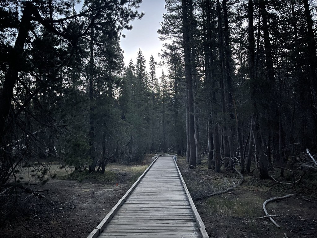
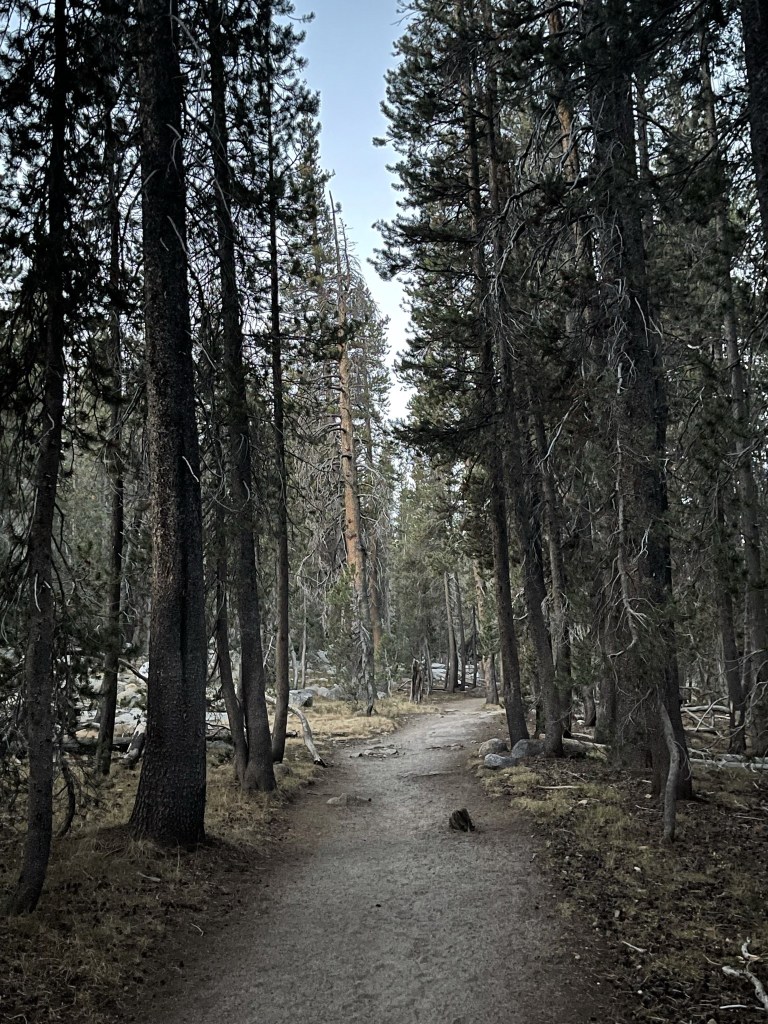
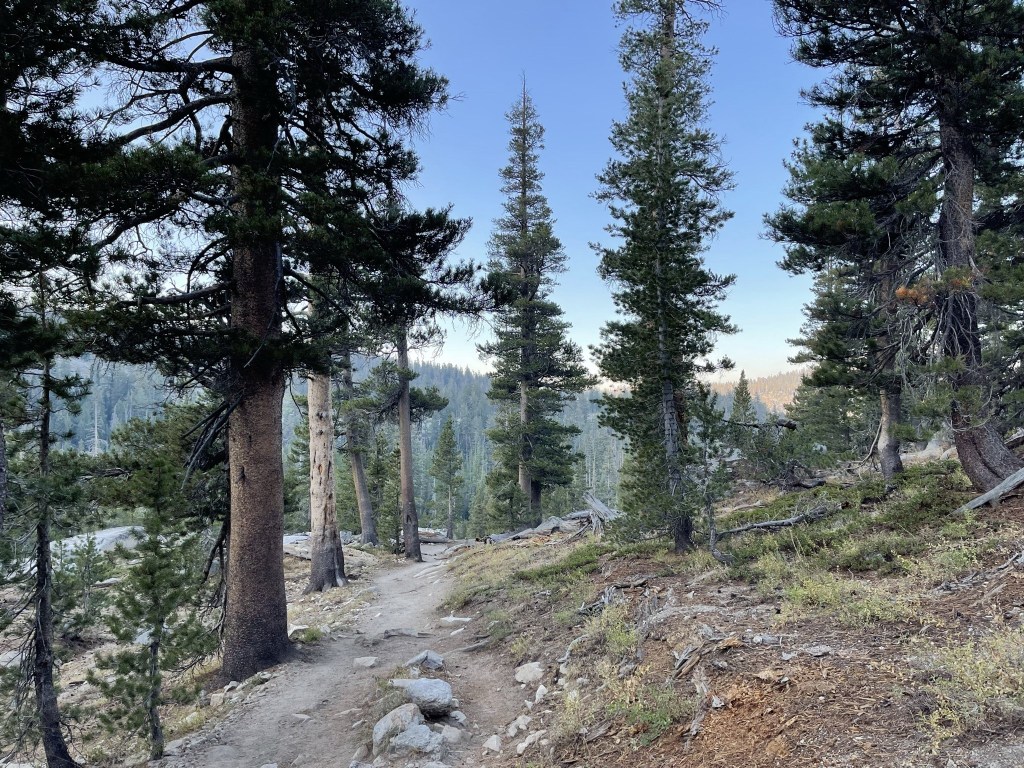
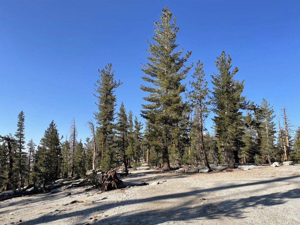
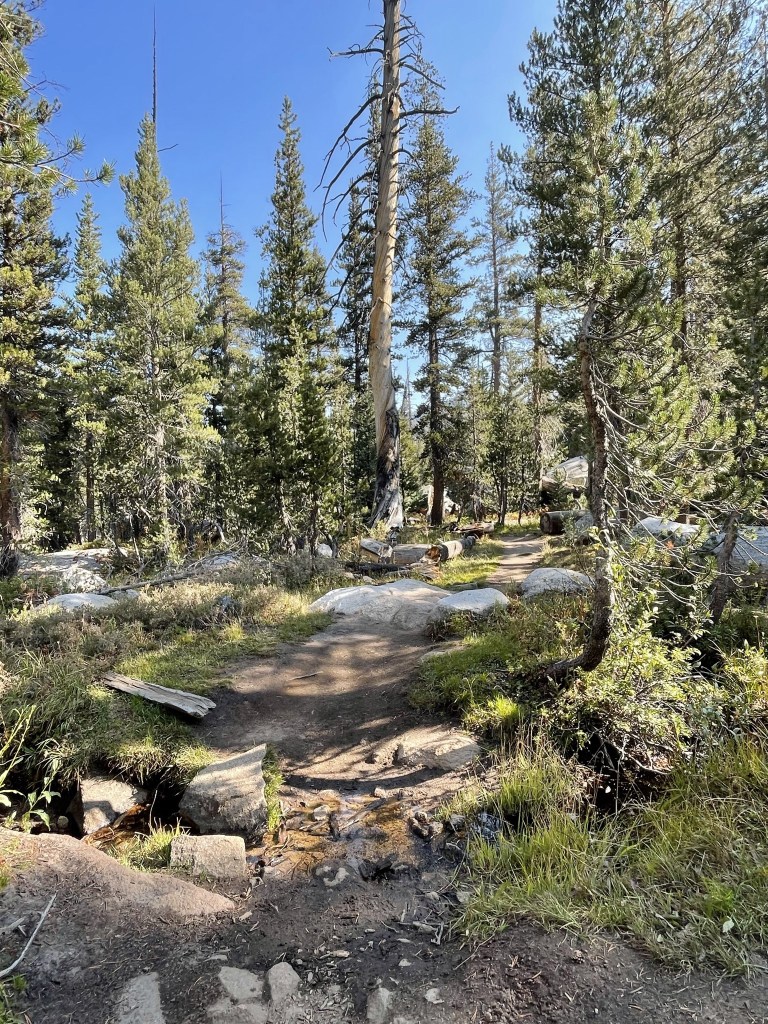
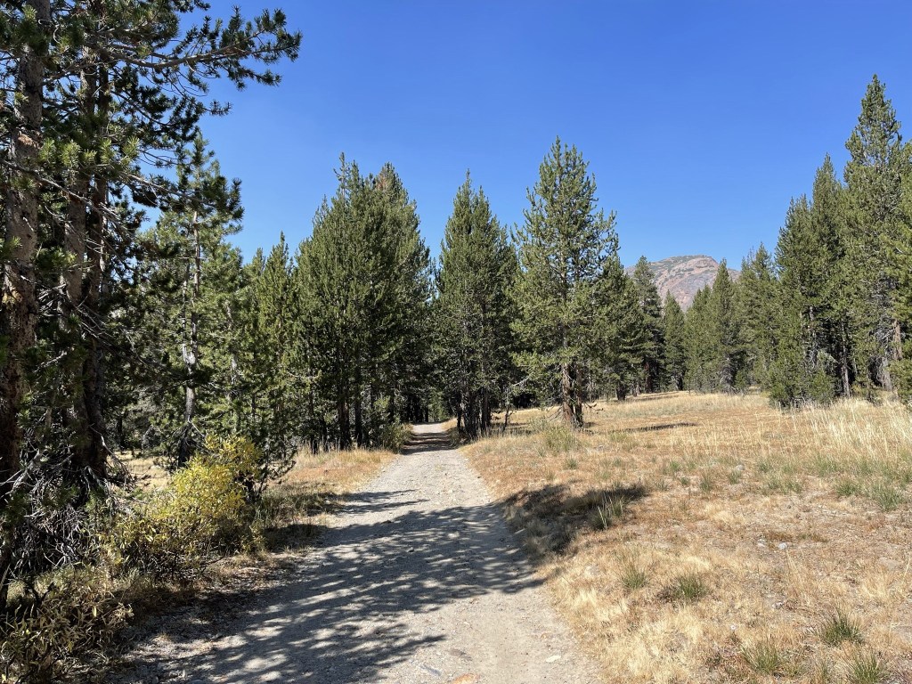
I hiked south through tall pine trees.
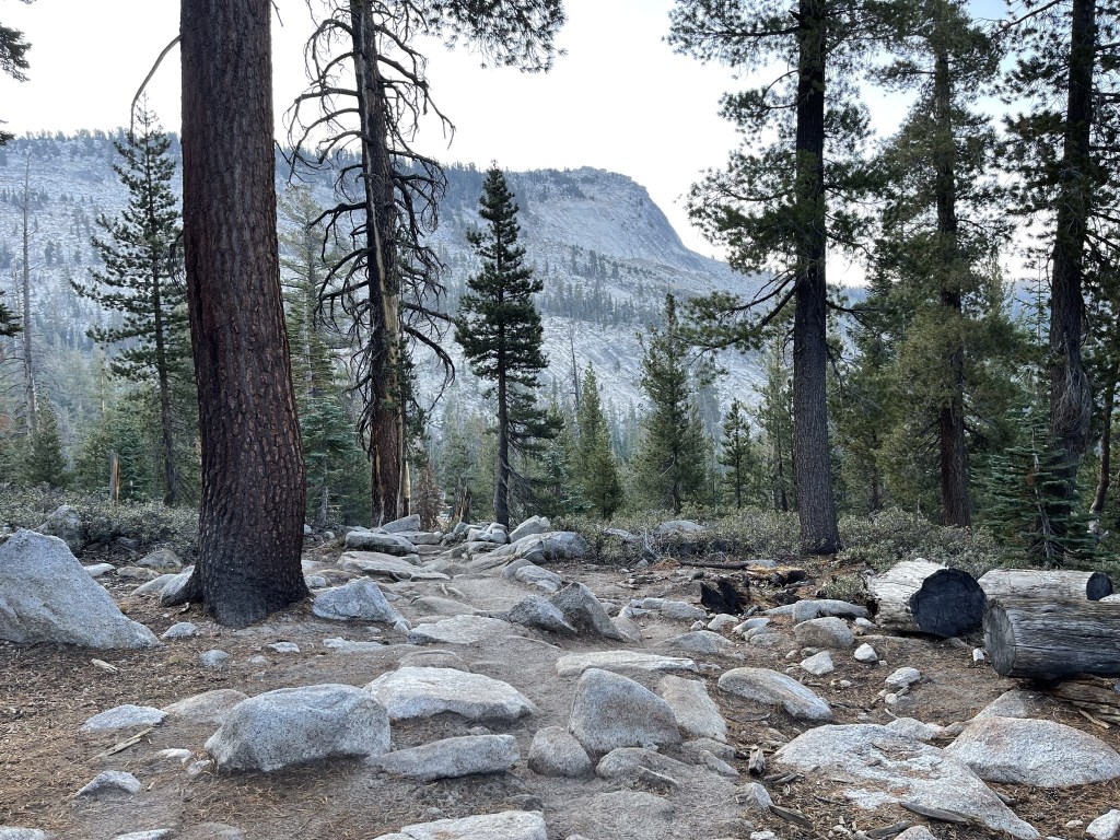
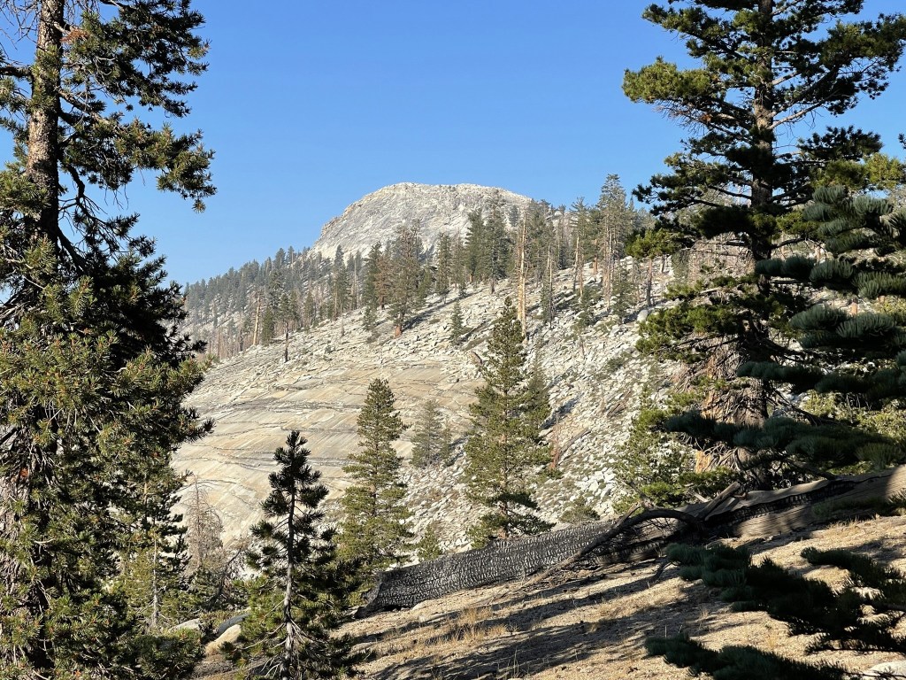
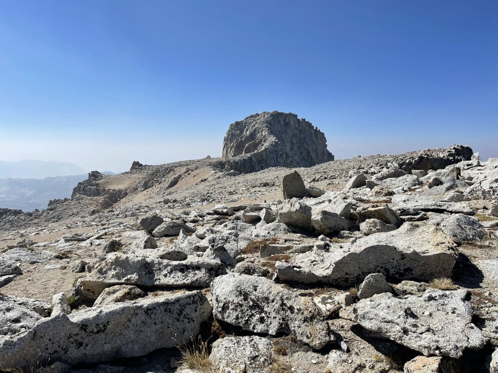
I reached an opening in the trees and got my first glimpse of Clouds Rest in the distance.

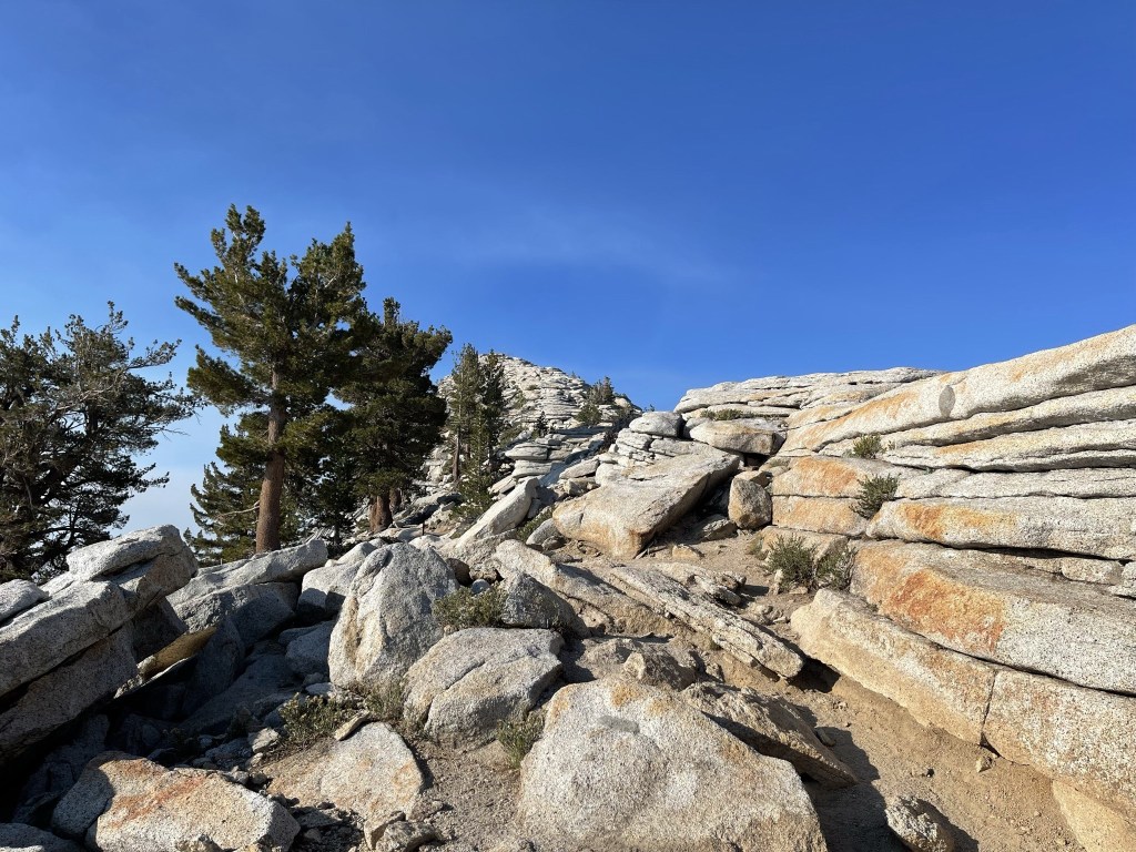
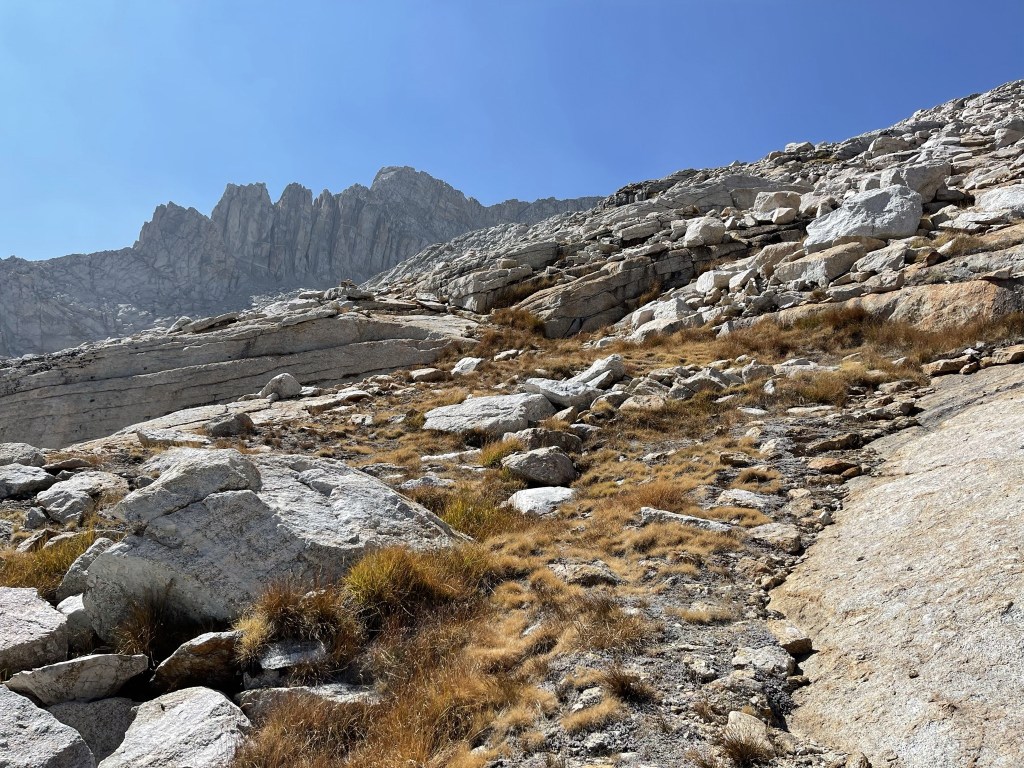
At 1.8 miles the trail got steeper and began to switchback its way up the slope.
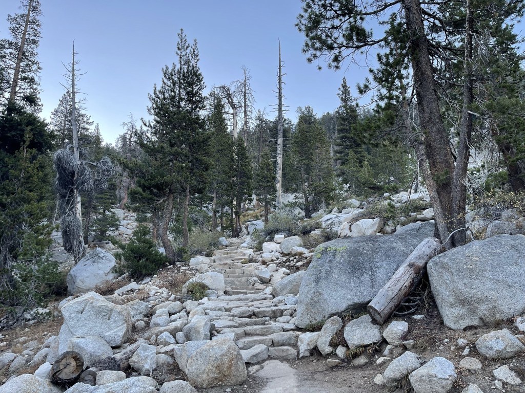
Stone steps were built into the ground. I passed 2 hikers during this section. They would be the only 2 I would see on the ascent (besides some campers further up).
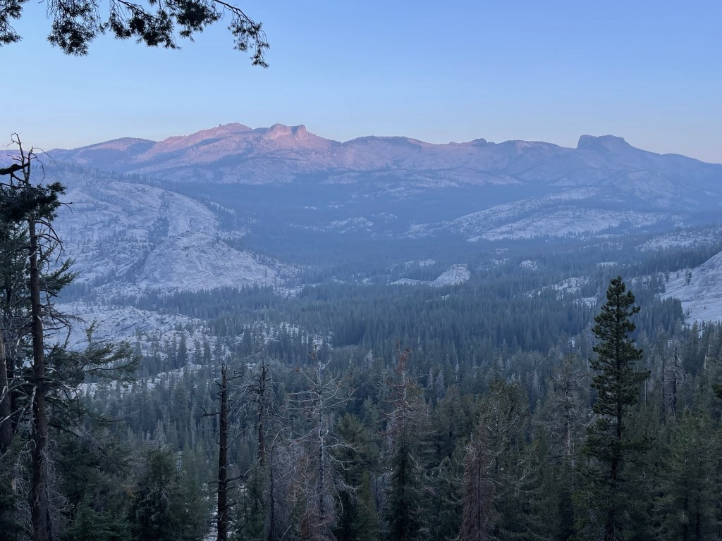
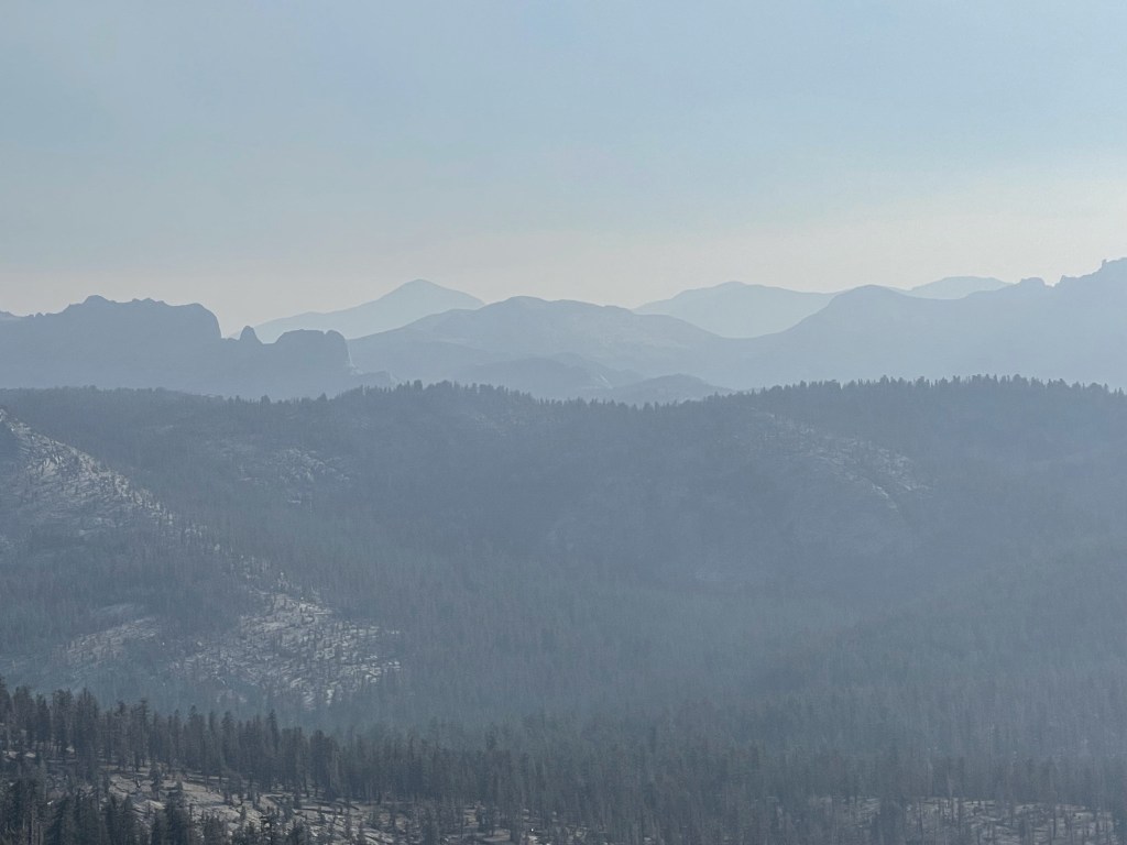
The morning glow from the sun began to hit the mountains behind me. Mount Hoffman and Toulumne Peak are pictured below.
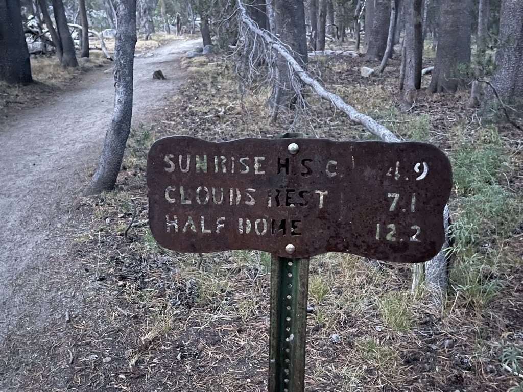
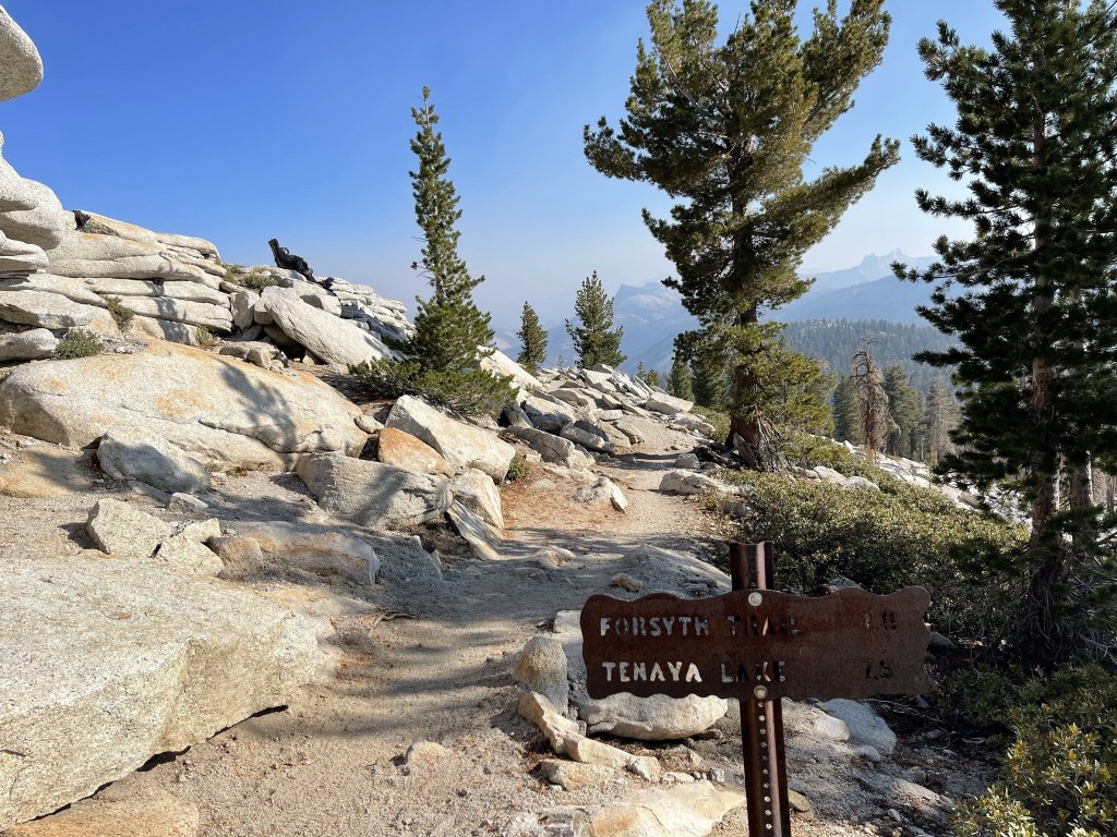
At 2.6 miles I reached a junction with the Sunrise Lakes Trail. I went right to continue on the Clouds Rest Trail.
Sunrise Mountain came into view in front of me.
The trail made a slight descent over the next mile or so.
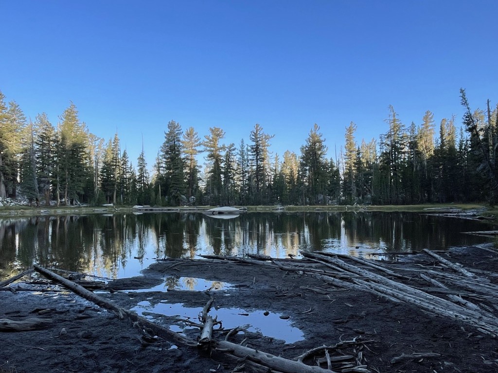
At 3.6 miles I passed a small pond. I saw someone filtering water from the pond and also heard voices from some campers nearby.
I continued south past the pond. The trail began to ascend again around 4.3 miles.
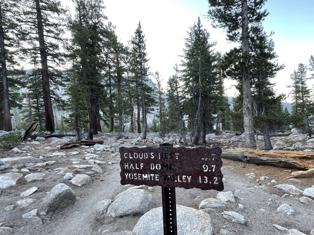
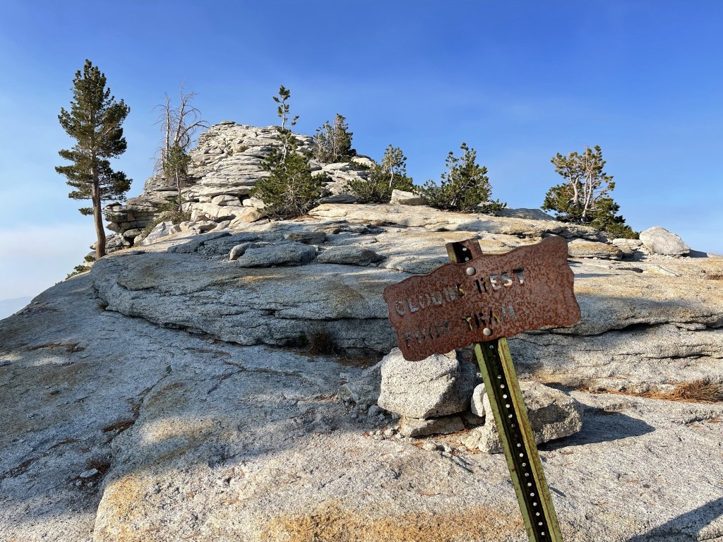
I reached a final trail junction at 4.7 miles. I went right towards Clouds Rest. I noted the actual distance was much closer than the 2.5 miles indicated on the sign (closer to 1.5 miles).
Clouds Rest was now much closer.
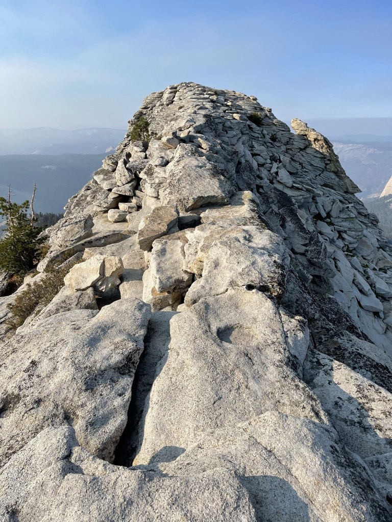
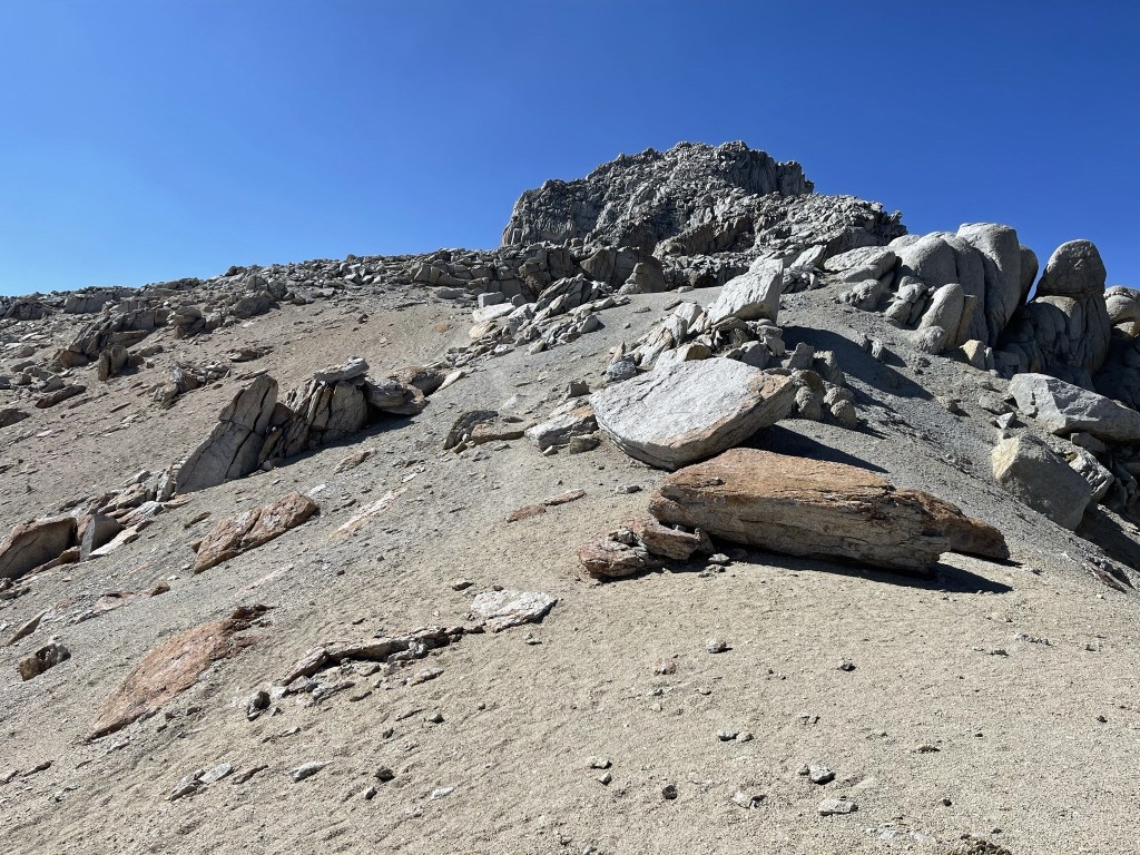
The trail got steeper as I neared the summit.
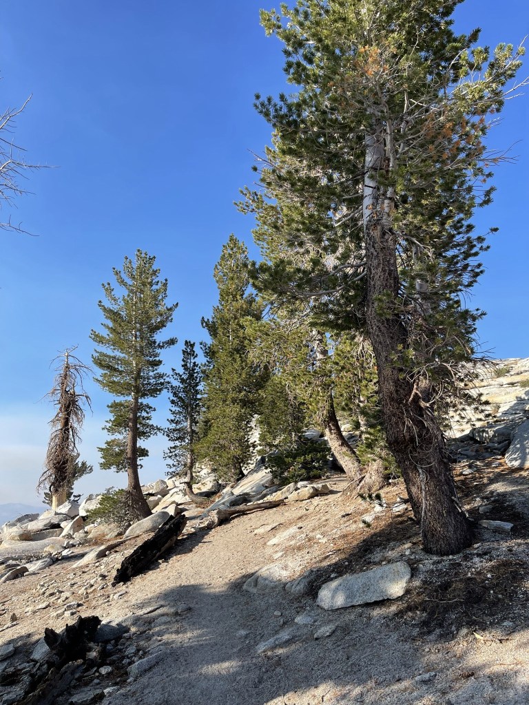
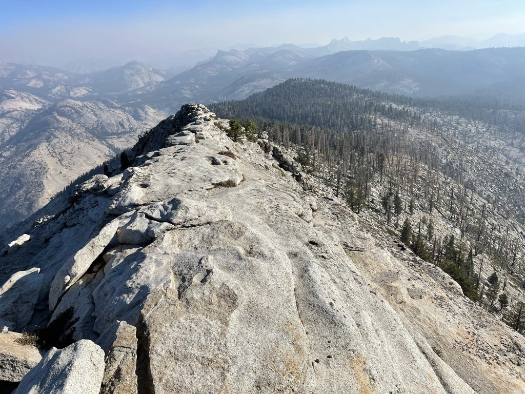
The path narrowed as I hiked onto the ridge leading to the summit.
I was very close now!
I climbed up onto the trail leading to the summit. There is another trail that goes around the east side of the summit and continues to Half Dome.
Almost there!
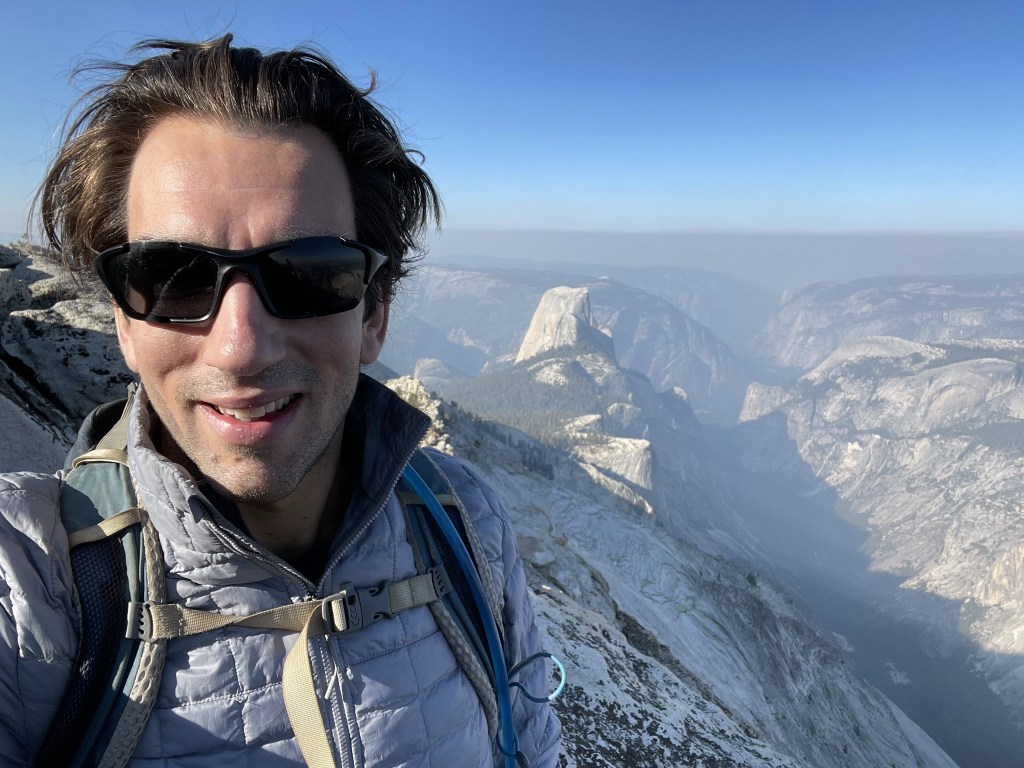
I reached the summit at 8:49am at 6.3 miles!
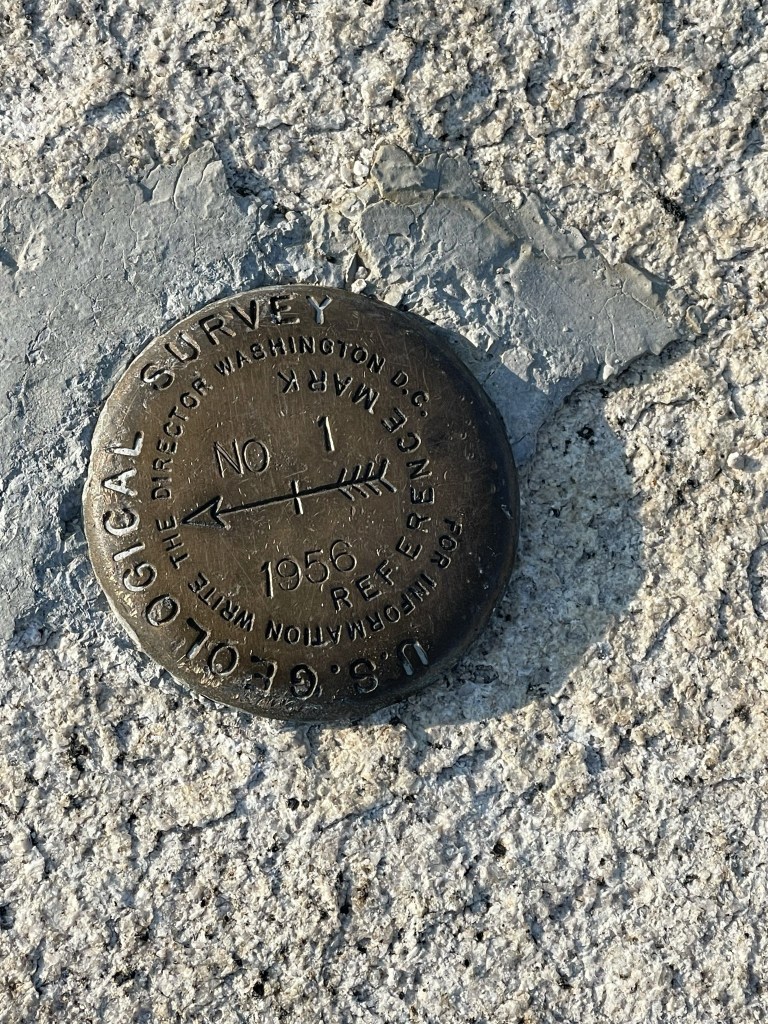
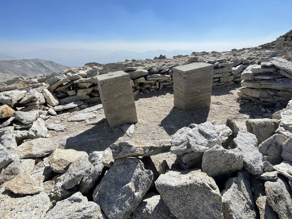
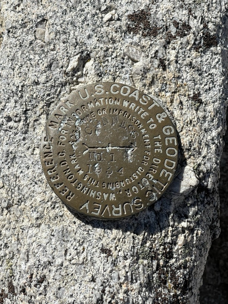
I found 2 reference markers and a pin where the benchmark used to be.

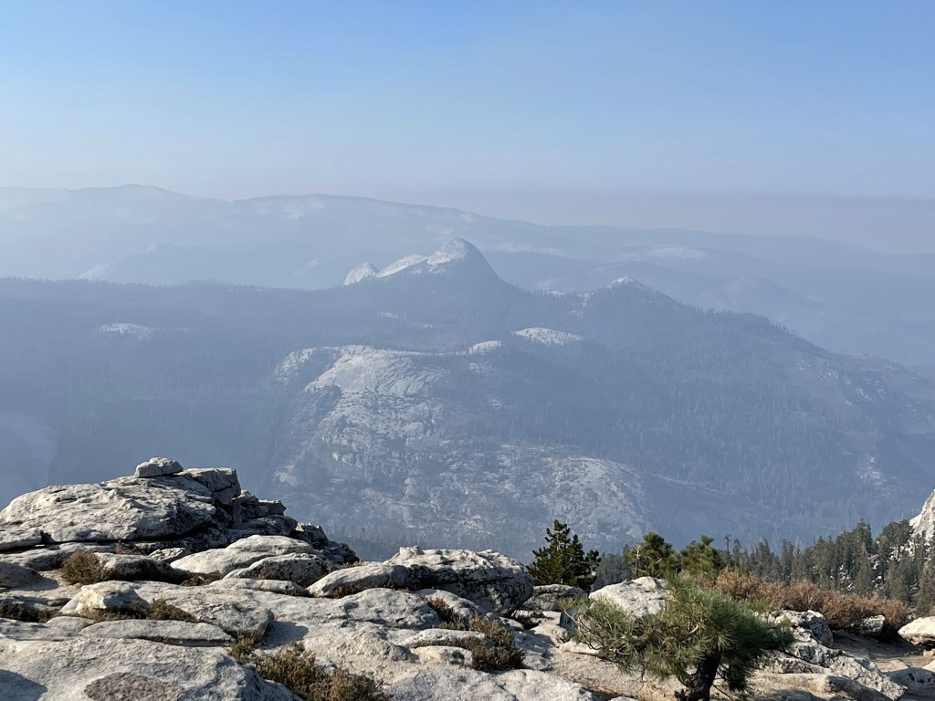
It was cold and windy on the summit, so I had to bundle up. I had the entire summit to myself which must be pretty rare for such a popular hike. The smoke was much better than the previous day but still impacted the views from the summit. The view of Yosemite Valley was stunning.
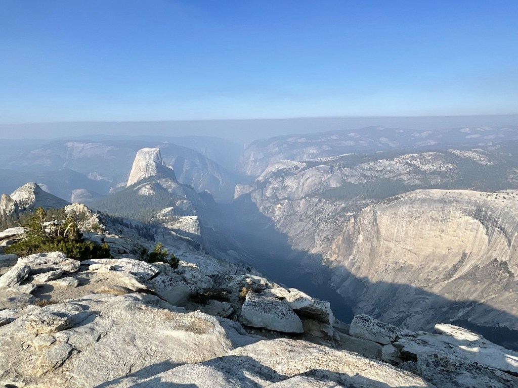
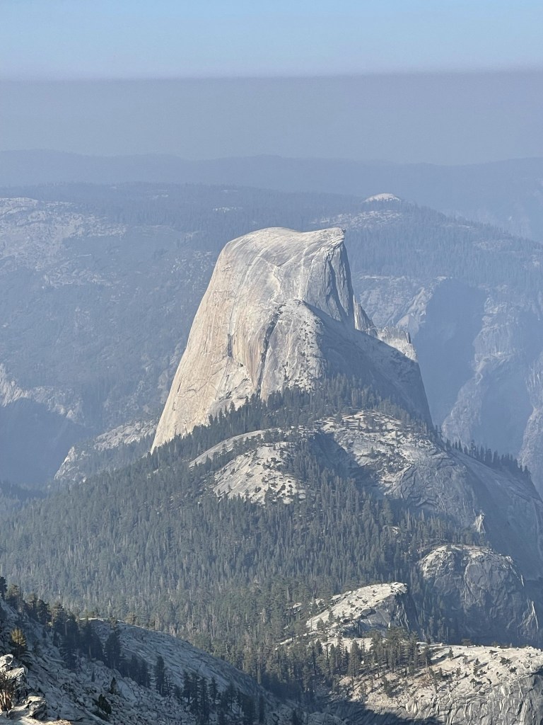
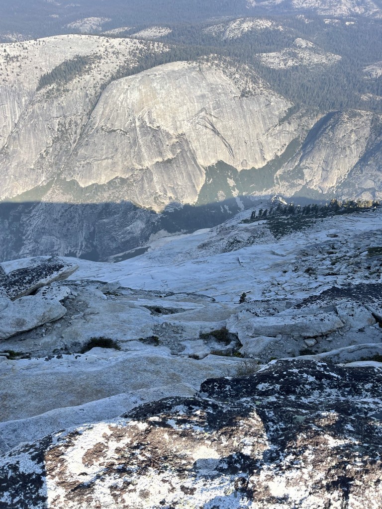
Half Dome looked magnificent.
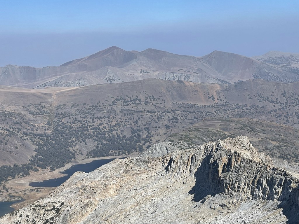
To the northeast I could see Mount Dana (left center) and Mount Gibbs (right center).
To the south I could see Mount Starr King.
I could barely see Lyell and other peaks to the east through the smoke, but my pictures did not turn out well. I began descending after a 20 minute break.
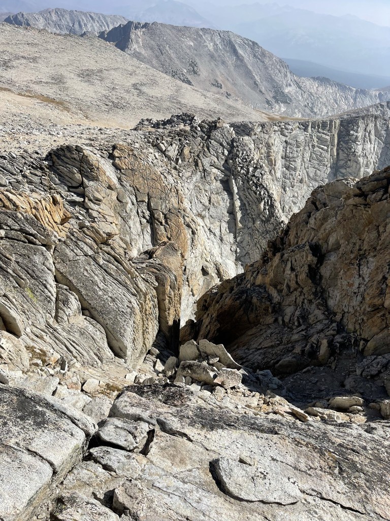
It was a 5000 foot drop off on the left side.
I saw the 2 hikers from before as I got back on the main trail.
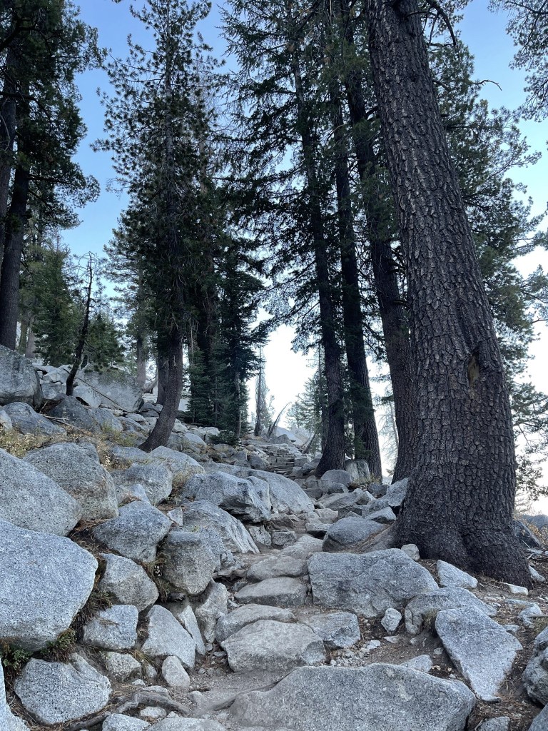
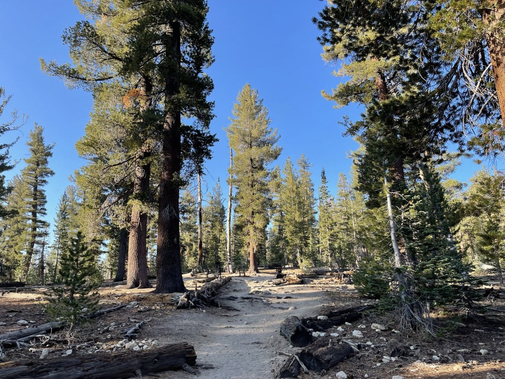
It was pretty easy going on the well maintained trail back to the trailhead.

The trail began to get very crowded. I must have passed around 100 hikers on my way back. It was annoying having to constantly answer “How early did you start?”
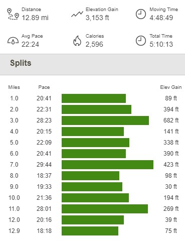
I made it back to the car at 11:28am. This hike totaled 12.89 miles, 3153 feet elevation gain, and 5:10:13 total time.

Mount Conness
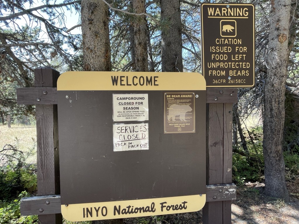
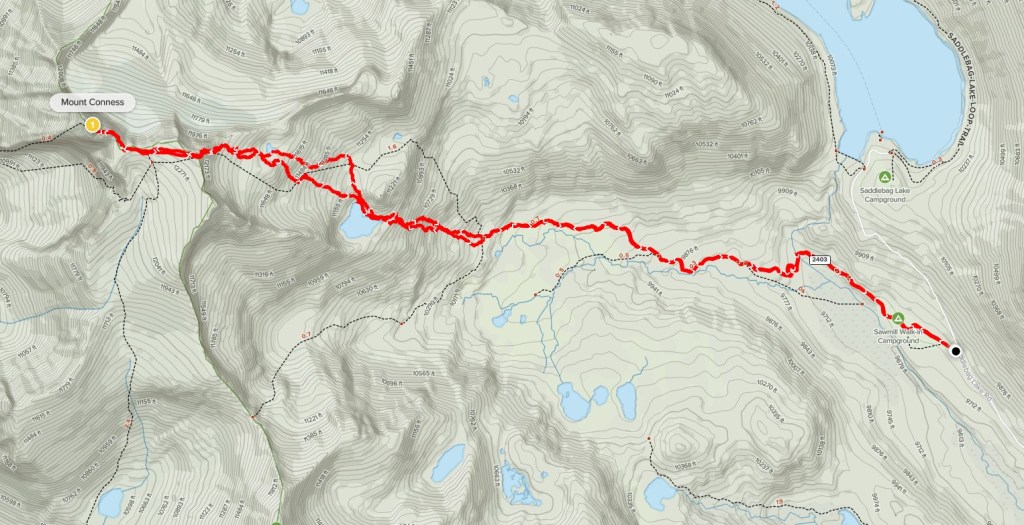
My plan for the afternoon was to climb Mount Conness, a 12590 foot peak not too far away. Conness, like Mount Dana, is on the eastern border of Yosemite. It has the cool distinction of being the highest peak in the Sierra north of Tioga Pass and Highway 120. There are multiple ways to approach Mount Conness, but I chose the shortest route which begins near Saddlebag Lake in Inyo National Forest. It took me about 45 minutes to make the drive to the trailhead, which begins at Sawmill Campground. The campground, which was closed for the season, has about 10-15 walk-in sites. The lot had a sign indicating that parking was for campers only, but that didn’t seem to apply since the campground was closed. I began this hike at 12:20pm from 9703 feet.
I hiked west on a dirt road towards the campground.
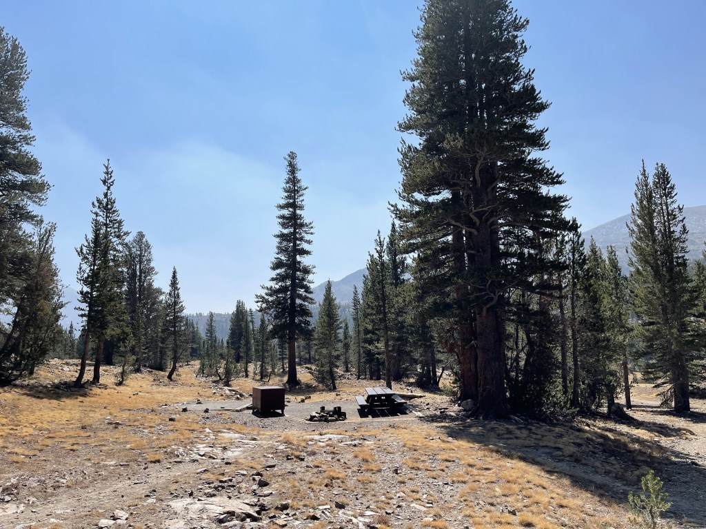
I arrived at the campground after a short distance. The sites were beautiful.
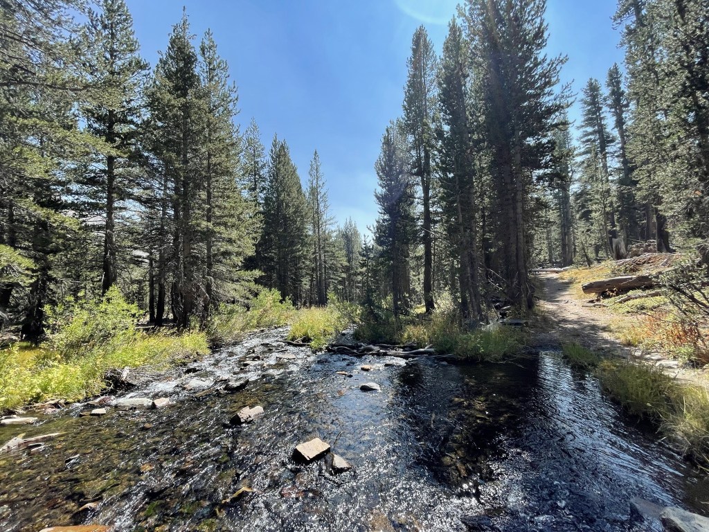
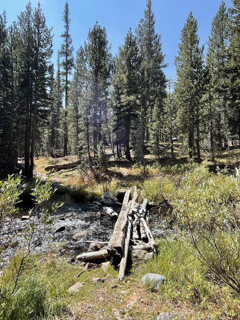
I crossed Lee Vining Creek at 0.7 mile.
There was a log footbridge across the water.
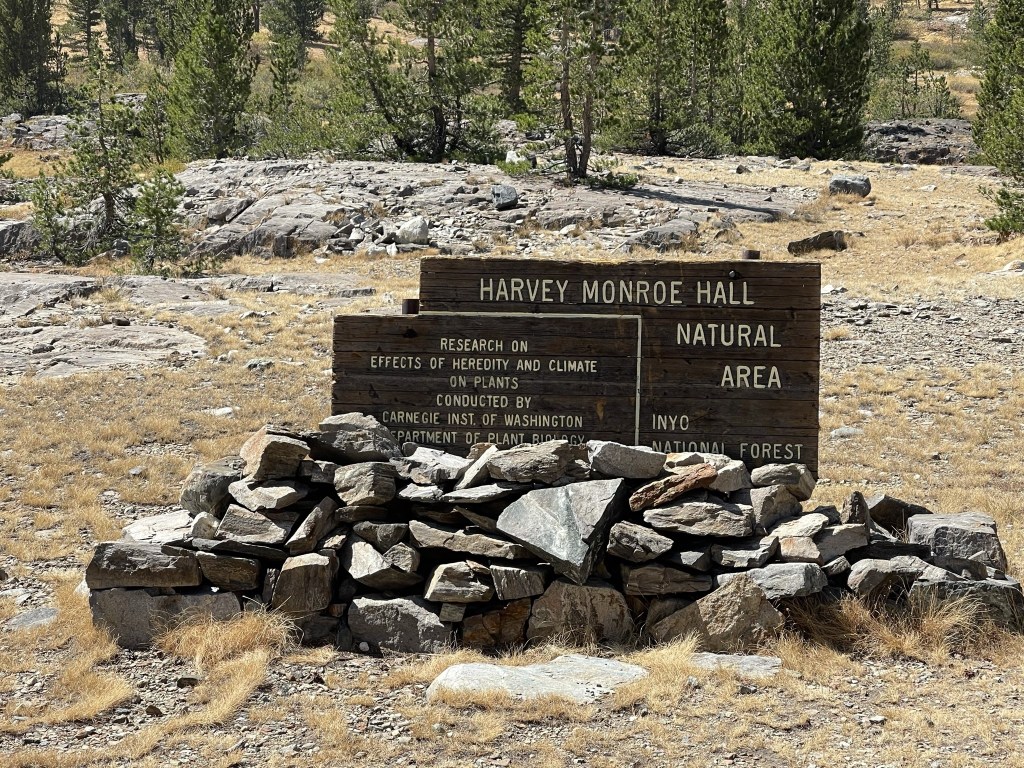
At 1 mile I reached a sign indicating I was in the Harvey Monroe Hall Natural Area.
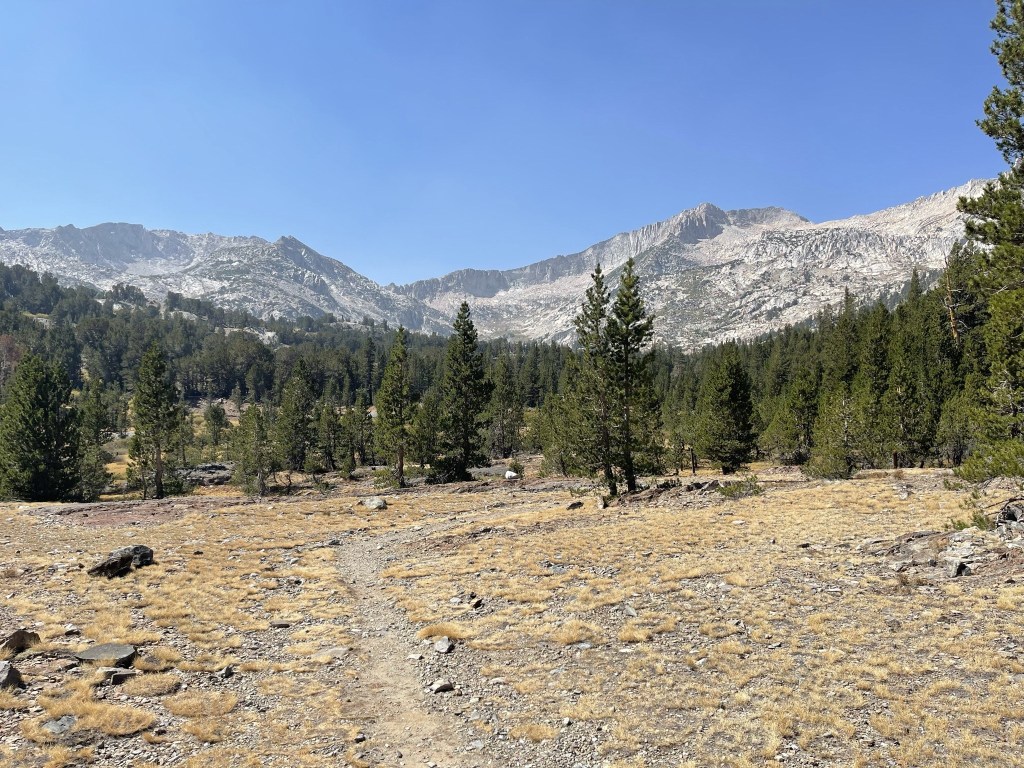
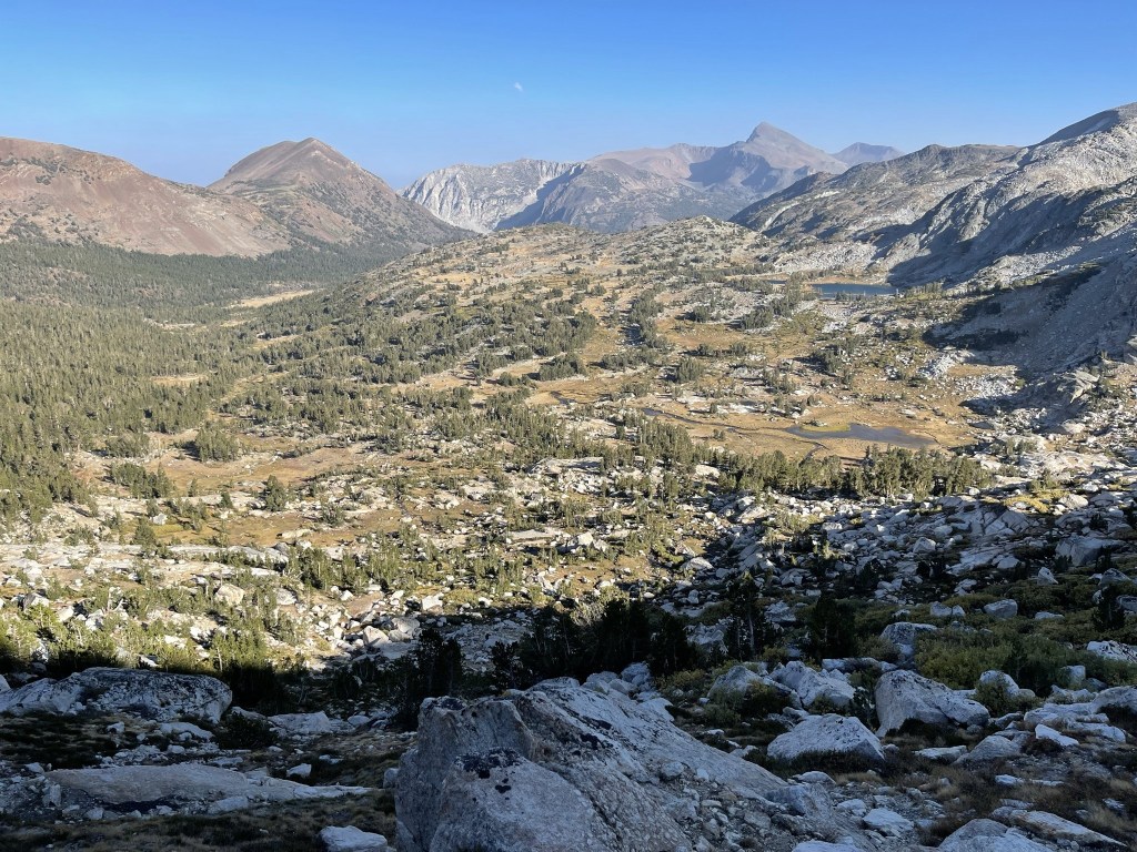
The scenery was gorgeous. Mount Conness is on the right (summit not visible).
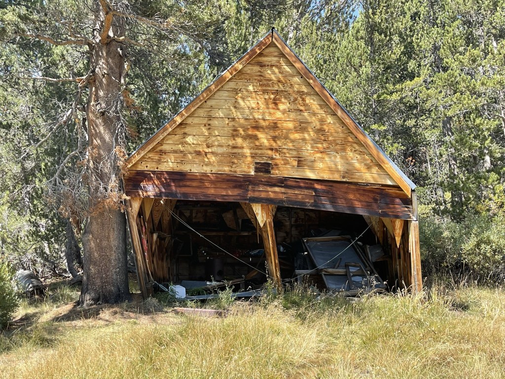
I passed an old shed a short while later.
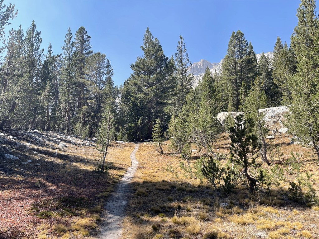
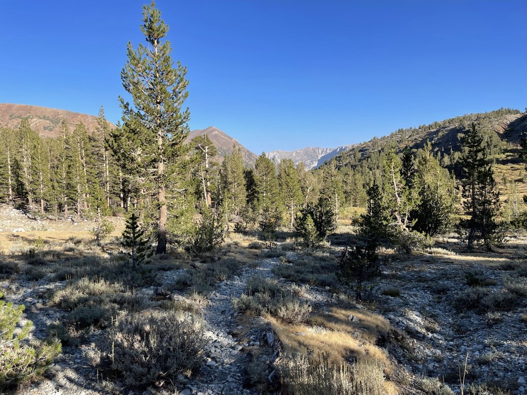
The trail was pretty level for the first 2 miles.
I soon reached a beautiful meadow.
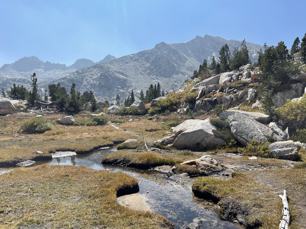
At 2.2 miles I left the trail to begin the climb to Conness. I had about 2300 feet to climb from this point.

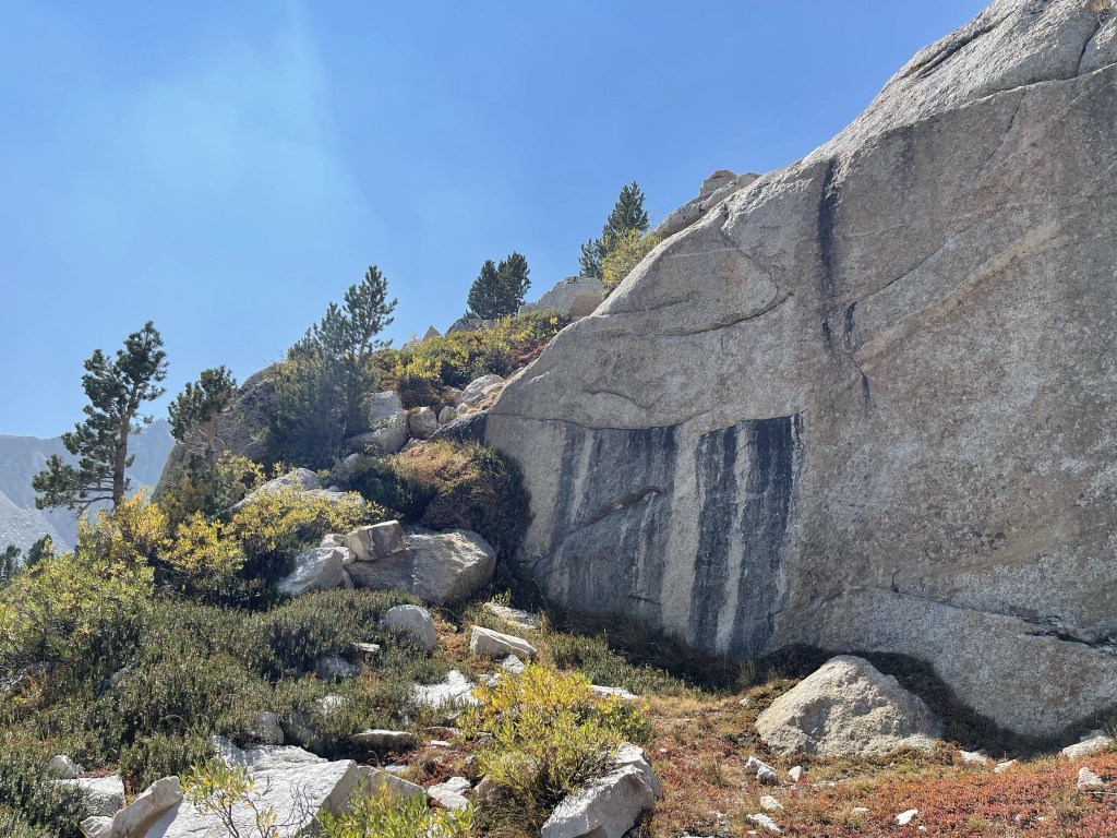
The initial slope was a little tedious with brush and large boulders.
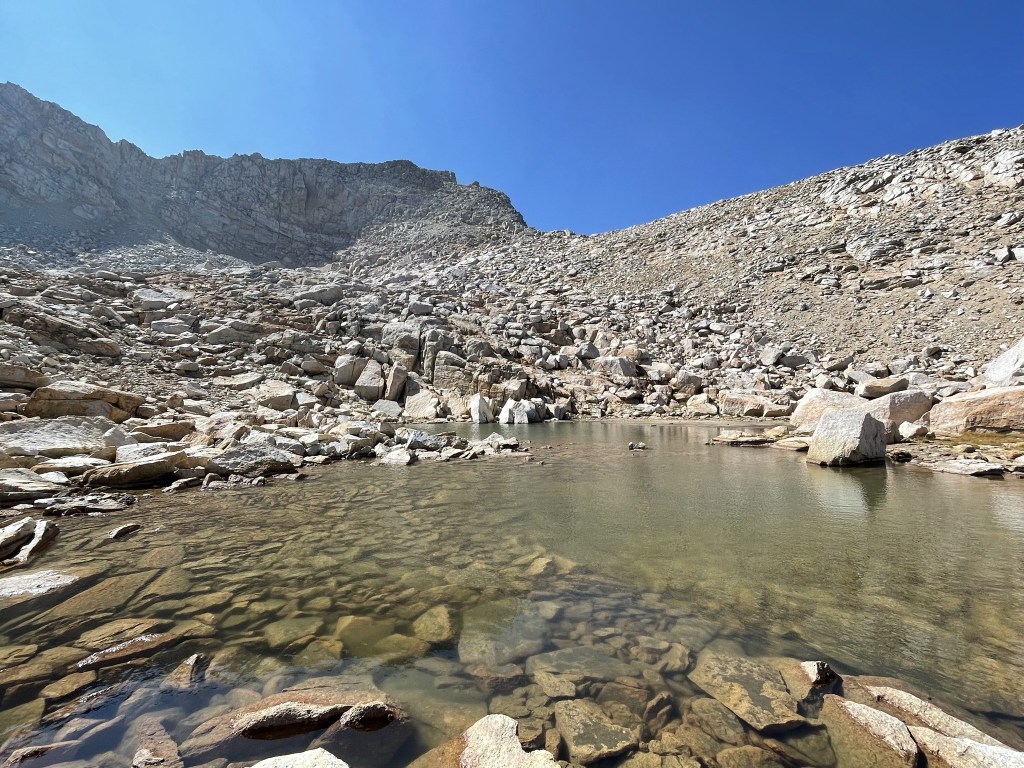
At 2.7 miles I reached Alpine Lake at just over 11000 feet.
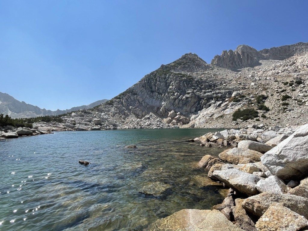
The lake was absolutely gorgeous.

I skirted around the northern shore of the lake and then began climbing the rocky slope to the north.
The terrain was solid, so the climbing wasn’t too tedious. I soon turned west again.
At 3.3 miles I reached a small pond at 11735 feet.
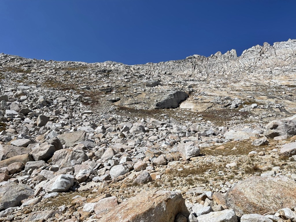
I continued climbing above the pond, following vague use trails at times.
I ran into 2 pairs of hikers on their way down. They all indicated that the wind was insane on the summit.
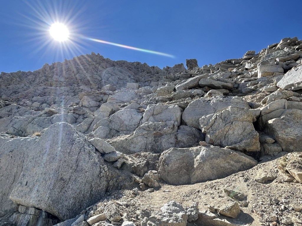
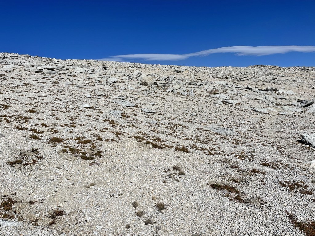
At 3.7 miles I reached a plateau at 12384 feet. It was indeed very windy up here. The summit finally came into view.
I made my way across the plateau. I saw more hikers on their way down.
I found a wind shelter with some stone blocks.
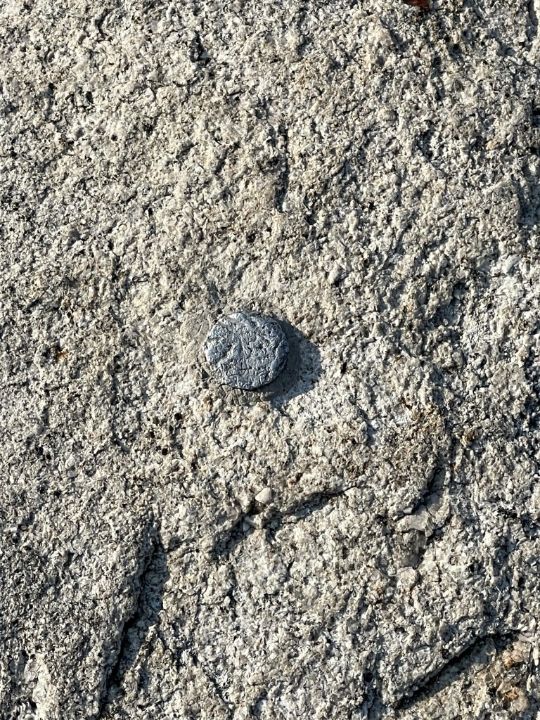
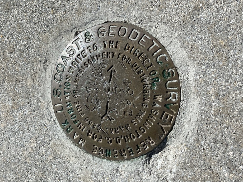
Oddly, I found a reference marker on one of the blocks. I don’t usually find them so far away from the summit.
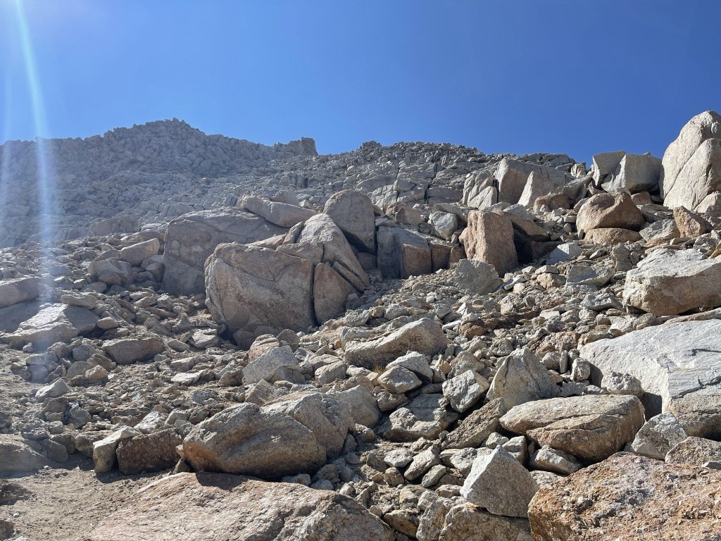
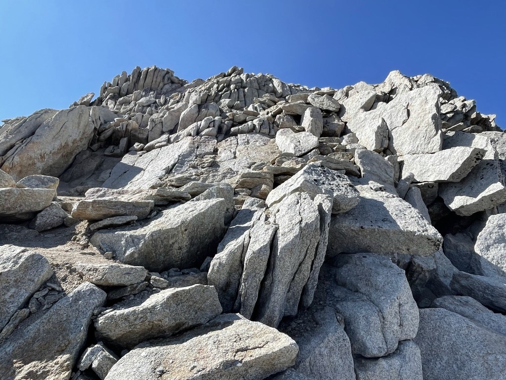
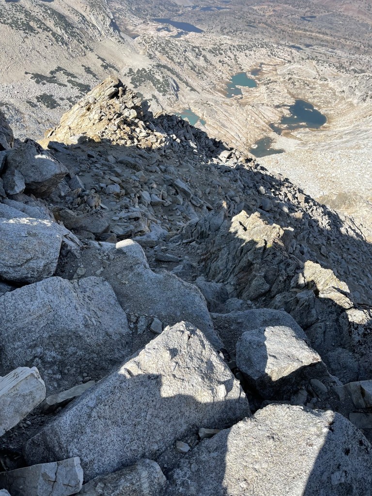
I began climbing up the narrow ridge to the summit.

It was mostly exposed class 1 with some class 2 moves mixed in. There was quite a drop off on both sides.
I reached the summit at 3:01pm at 4.2 miles!
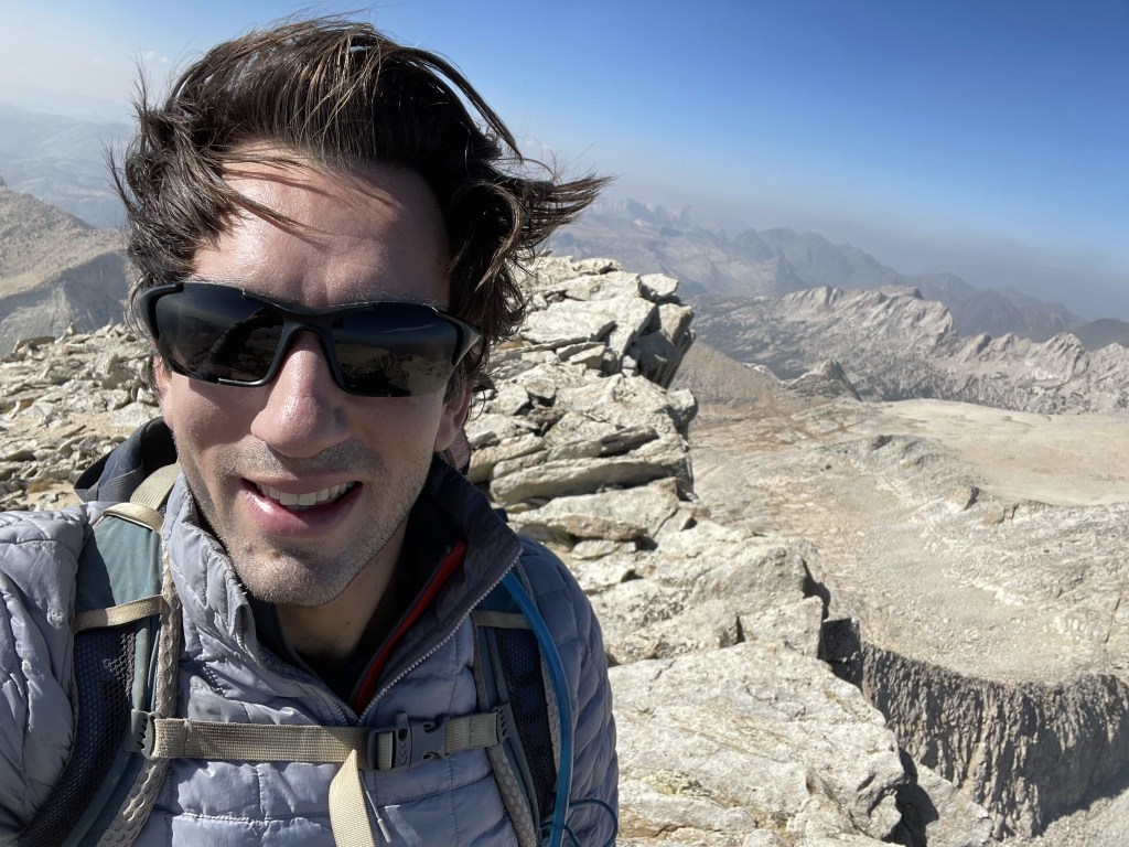
Another hiker joined me on top soon after I made it up. This was a busy mountain! I suppose the easy access, high trailhead, and relatively straightforward route make this a popular climb. I signed the register which had been placed in 2018. The register had many entries and there were older books as well. I located another reference marker but did not find the benchmark.
The views were the best I had all weekend. To the north I could see Matterhorn Peak.
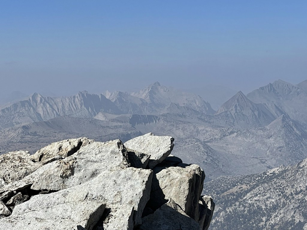
To the east I could see Mount Warren.
Mount Dana and Mount Gibbs to the southeast.
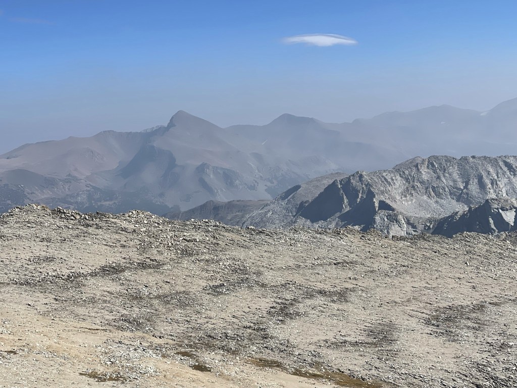
It was definitely smokier to the south.

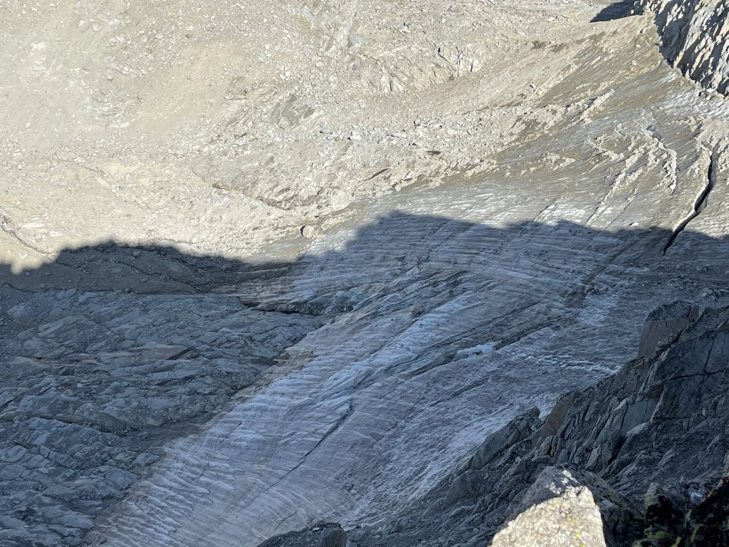
Directly below me on the north side I could see the Conness Glacier.
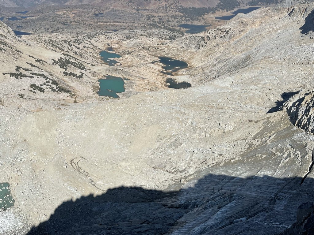
The Conness Lakes are fed by the glacier.
I began the descent after a 20 minute break.

Again, climbing along the ridge was easy but a little scary.
I ran into more hikers on their way up still. I was really surprised at how popular this peak was. I proceeded east across the plateau.
I reached the other side of the plateau at 4.6 miles. I then began the steep descent down to Alpine Lake.
I made good time down the rocky slopes as I approached the lake.

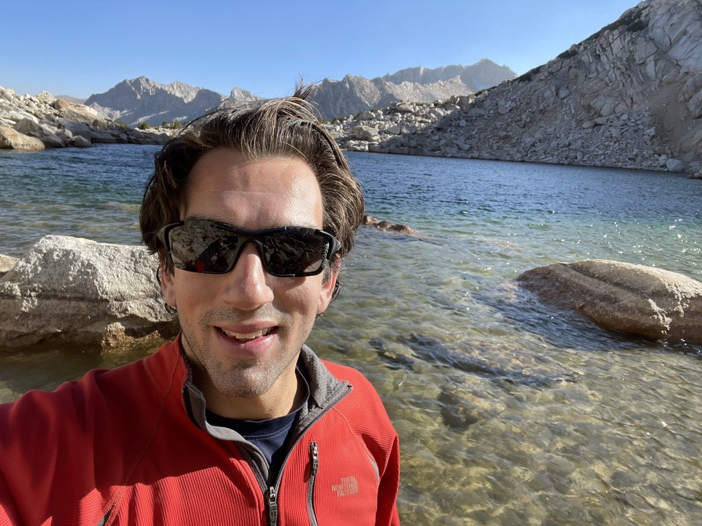
I reached the lake once more at 5.5 miles. I took a short break here to put my feet in the water.
I then climbed back down the slope below the lake towards the trail.
I reached the trail again at 6.1 miles.
I reached the car again at 5:41pm. This hike totaled 8.27 miles, 3071 feet elevation gain, and 5:21:20 total time.

I packed up and made the long drive to the Red Lake Trailhead near Big Pine. I was planning to climb Split Mountain the next day, but unfortunately I did not make it to the summit. I turned around at 11600 feet due to time. I had only been hiking for about 4 hours but figured I had another 3 hours to the top. With the descent and the long drive home I figured I wouldn’t get home until after midnight. I was concerned about staying awake while driving and also didn’t want to feel awful at work the next day. One thing I will note is that the drive to the Red Lake Trailhead was a nightmare. I tried the Tinemaha Campground shortcut suggested on Summitpost but ran into a locked gate. I wasn’t 100% sure I was even on the correct road as it was difficult to navigate in the dark. I drove all the way back to Big Pine and took the long and arduous McMurray Meadows Road to the trailhead. This road starts out fine but the last 4 or so miles were very difficult in my Subaru. The road was rocky, narrow, and steep, but thankfully I made it there and back okay. The worst part about failing on Split Mountain is the thought of having to drive that road again in the future.
