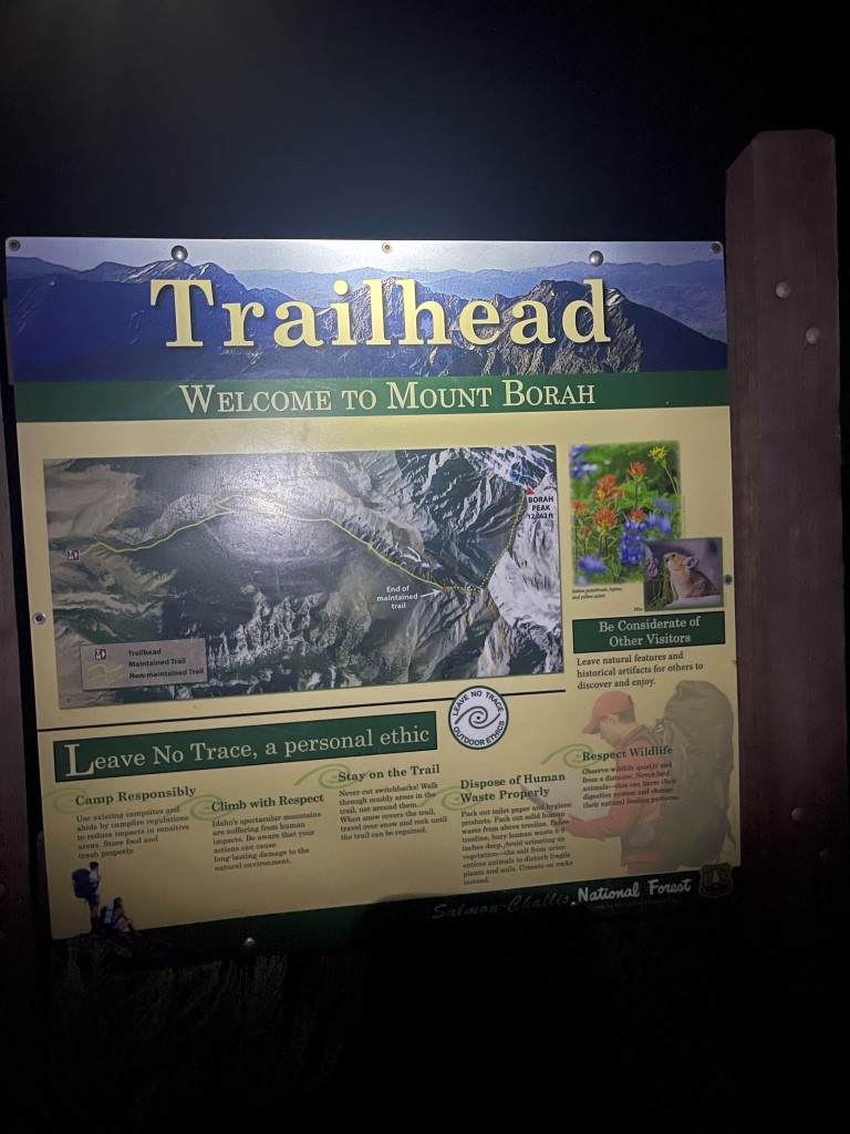
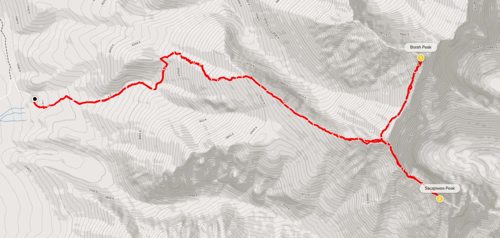
Mount Borah (12662 feet) is the highest and most prominent peak in the state of Idaho. It is also the highest point within the Lost River Range which is part of the Rocky Mountains. The main route to the summit starts on the western side of the range and ascends over 5000 feet in a little over 4 miles. The trailhead is located about 3 miles east of US Highway 93 on Birch Creek Road. This road is well graded and should be passable for any car. I arrived the night before and slept in the rental car at the campground located at the trailhead. The campground was pretty busy, which was no surprise given that this was a Saturday night. I was woken up a time or two during the night by groups leaving early to get pre-dawn starts. I woke up at a reasonable time and hit the trail at 4:55am from 7362 feet above sea level.
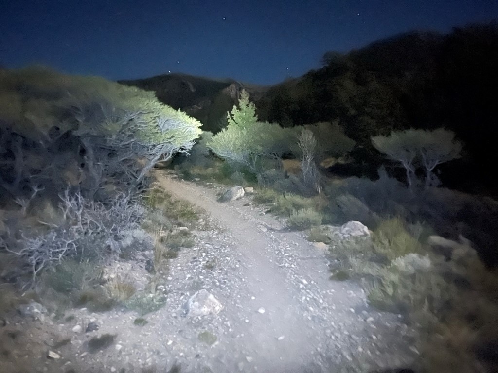
I hiked east along the trail by the light of my headlamp. The moon was nearly full which helped. There were many other groups I had to pass on my way up which was annoying as usual.
The trail made a left turn to the north and then turned east again. The next section was comprised of very short switchbacks which ascended very steeply up the mountain.
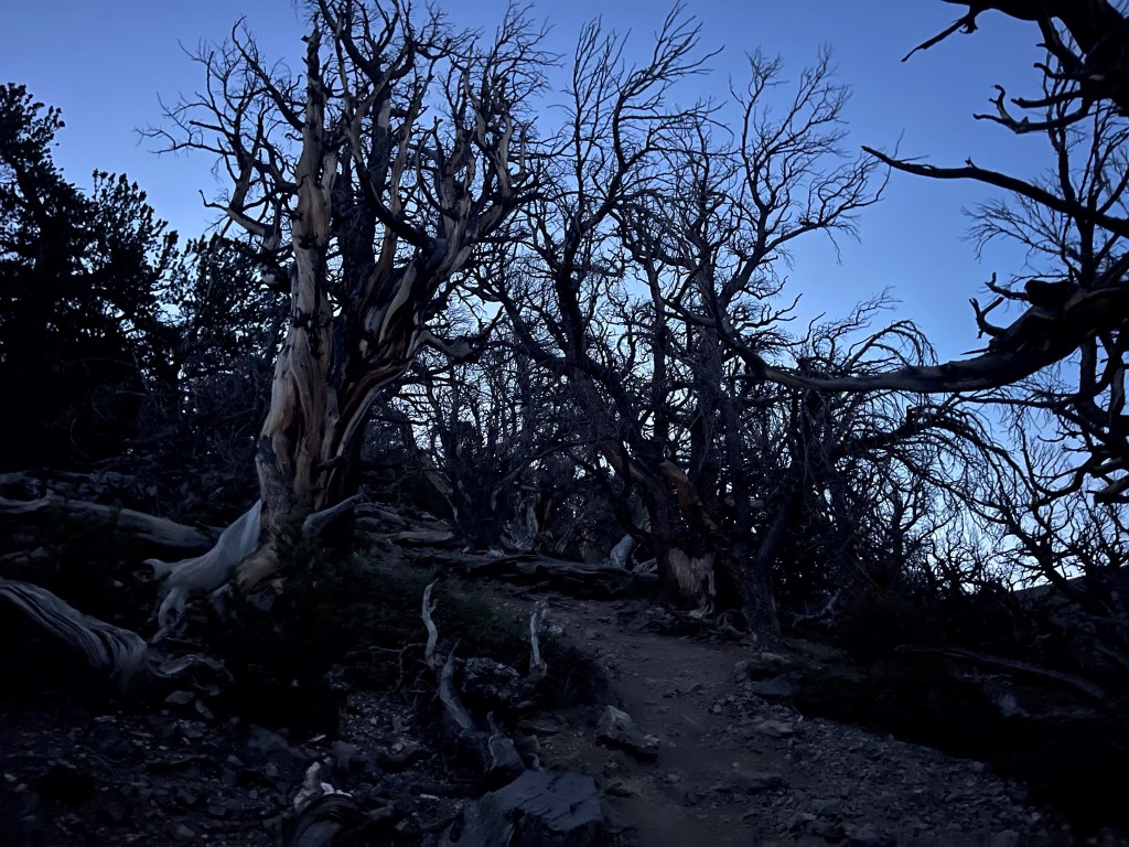
It wasn’t long before the trees thinned out at just under 10000 feet.

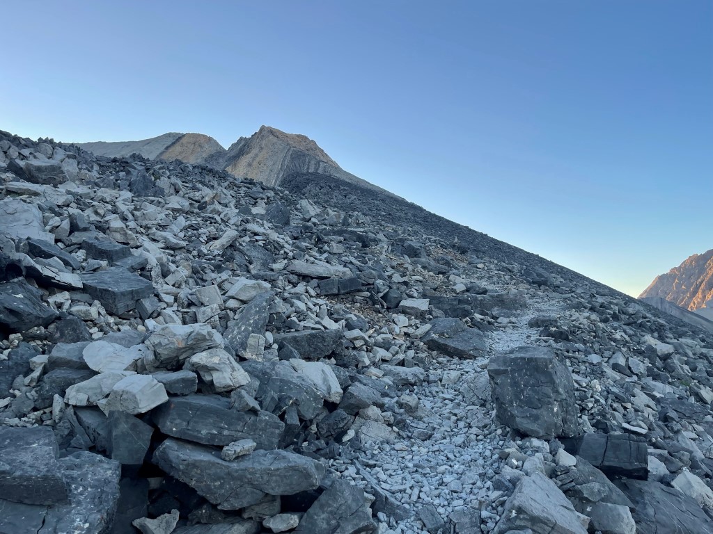
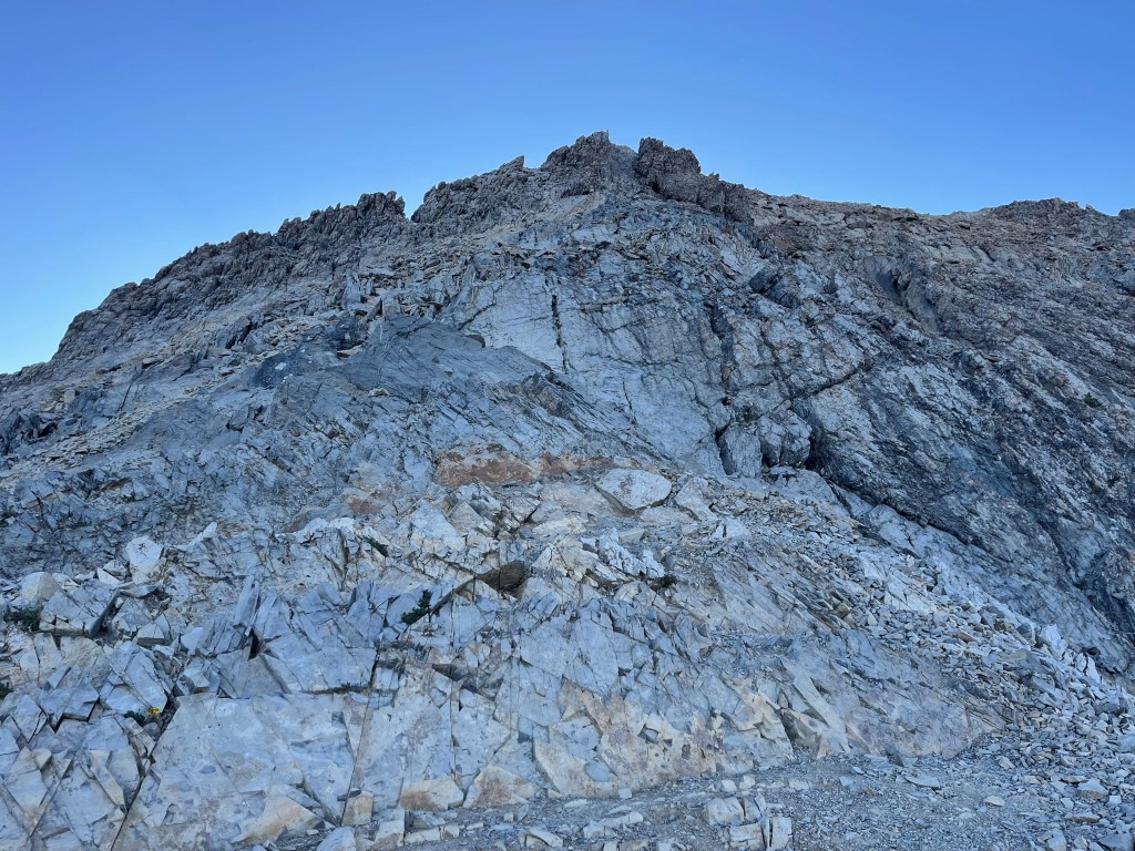
At 2.2 miles I got my first good look at Mount Borah still 2400 feet above me.

The trail continued up the ridge.
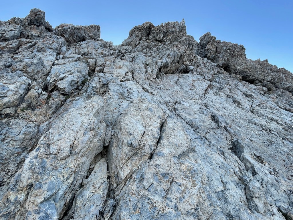
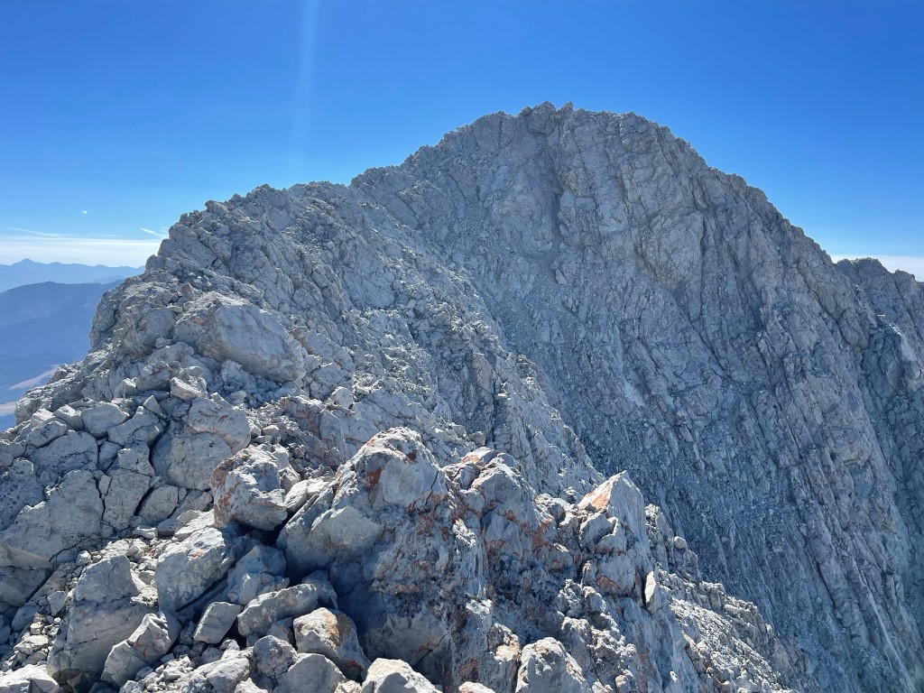
I passed more groups on the way up and then reached Chickenout Ridge at 11500 feet. Chickenout Ridge is a short section of class 2-3 scrambling which must be climbed in order to reach the main north-south ridge of the Lost River Range.
Chickenout Ridge was pretty mild, especially compared to some of the High Sierra peaks I had done recently. The difficulty on super popular peaks like this is typically overblown, so I wasn’t surprised. It was still a fun scramble over pretty solid rock.
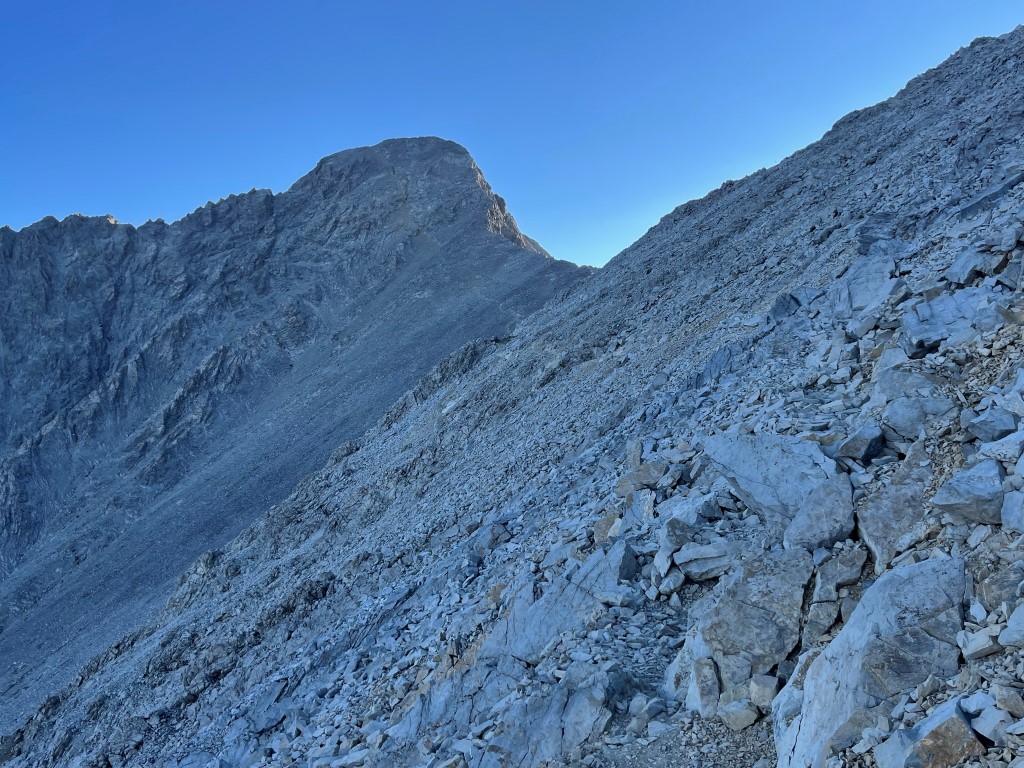
At 3.4 miles I reached the main north-south ridge at 11750 feet. I turned left towards Borah. The trail mainly stuck to the west side of the ridge the rest of the way up.
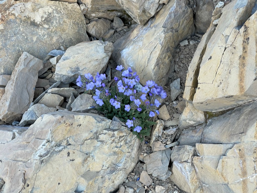
I saw some pretty purple flowers.
I crossed a saddle with a small snowfield on the eastern side.
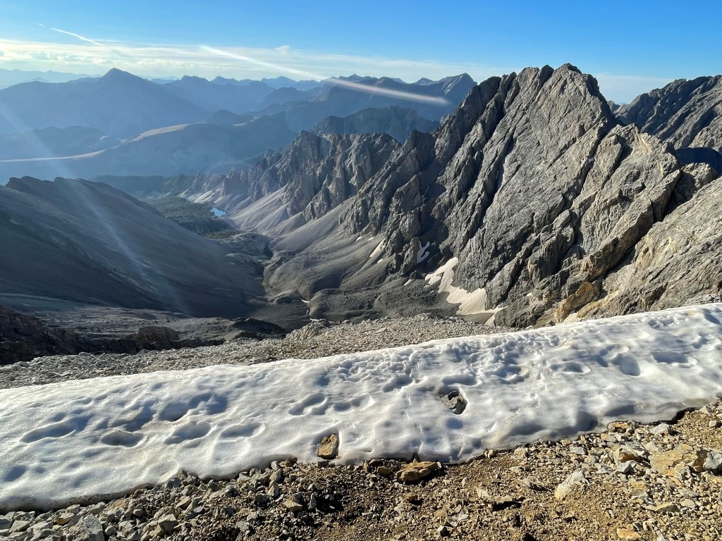
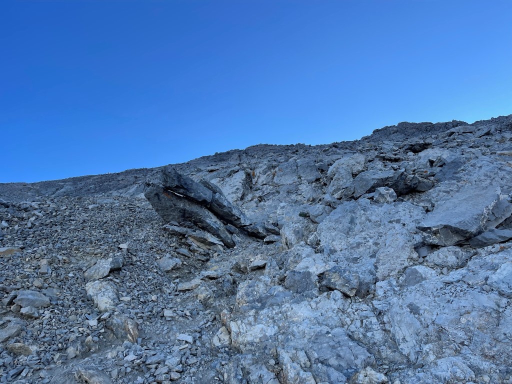
I climbed the rest of the way up from there. The trail kind of disappeared near the top but it was an easy scramble.
I reached the summit at 8:23am at 4.1 miles!
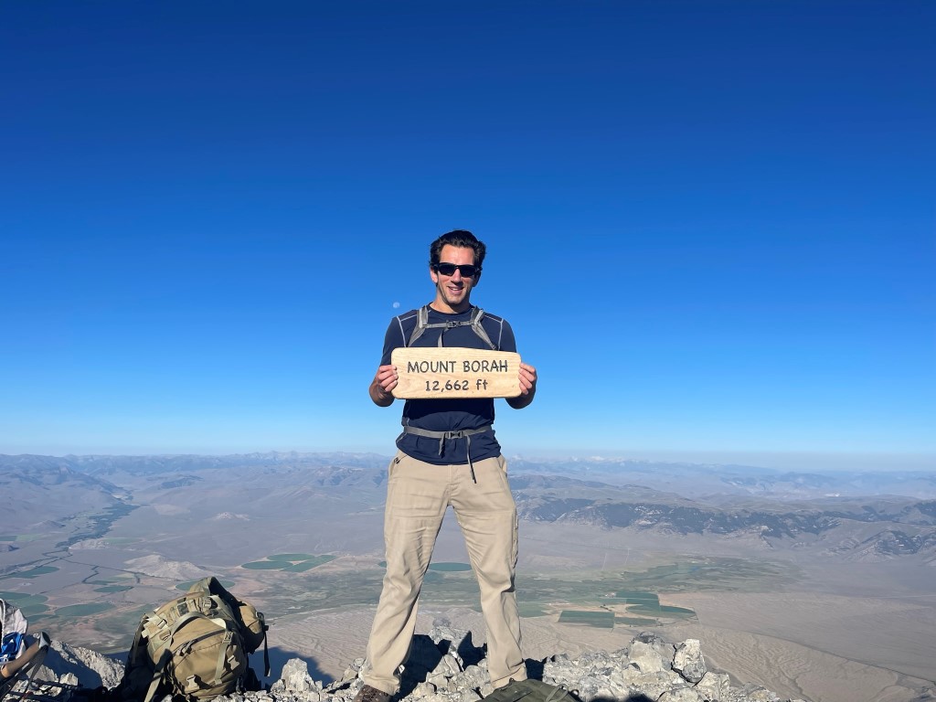
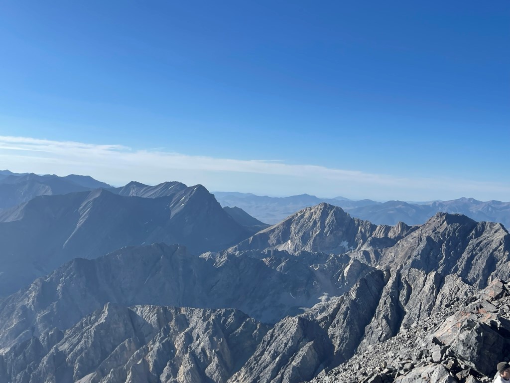
I passed so many people on the way up I had hoped to have some solitude on top, but unfortunately the summit was so crowded I could barely move around. I found out that I was the 2nd party to summit that day, but the 1st party was a group of 24. They were all men and young boys, so I assumed they were boy scouts or something like that. Apparently they had started hiking around midnight, which seemed absolutely insane to me. I signed the register which was very full. It was a perfectly clear day, so the views were excellent. To the west I could see the Pioneer Mountains including Hyndman Peak:
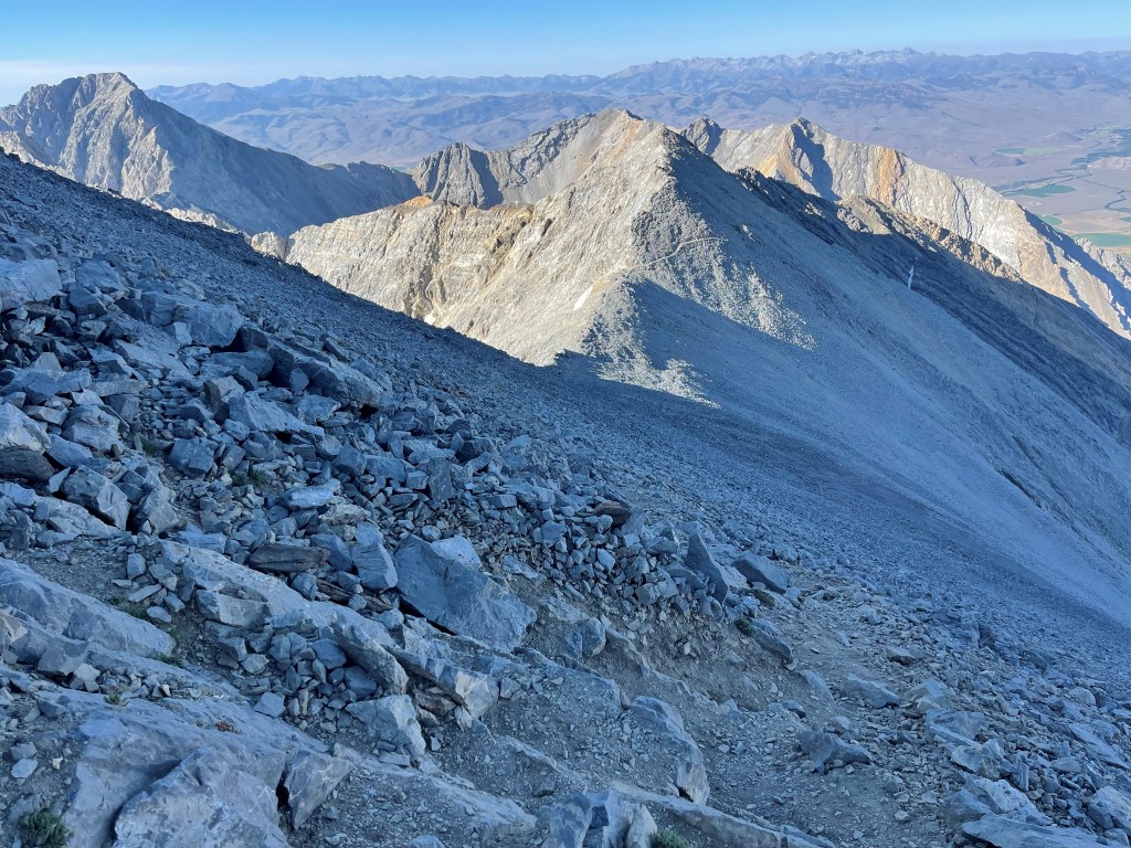
Looking north along the crest of the Lost River Range:
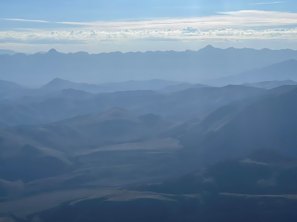
Bell Mountain (left) and Diamond Peak (right) to the east:
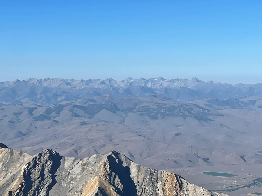
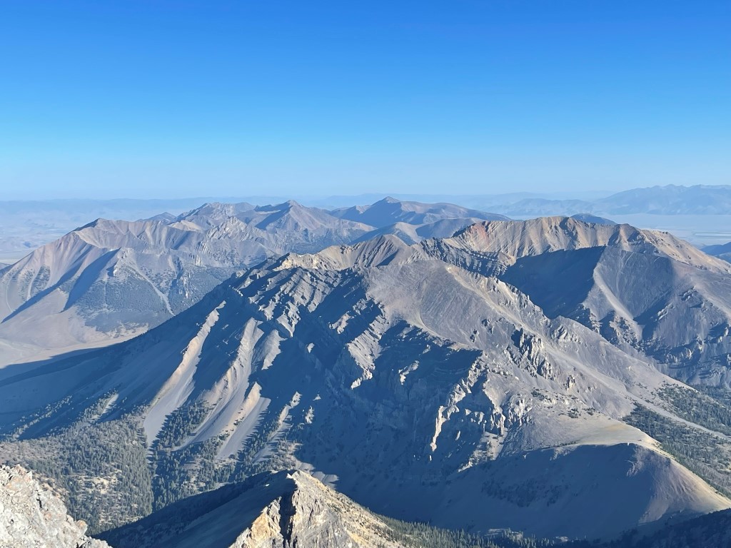
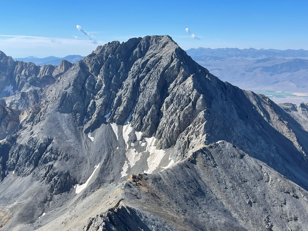
Looking south towards the other high peaks of the Lost River Range: Mount Church, Leatherman Peak, Mount Idaho
I started descending after a short break.
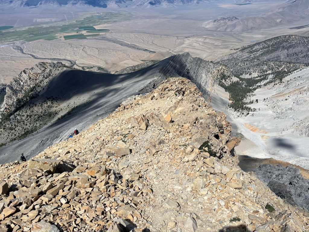
At 4.9 miles I reached the top of Chickenout Ridge. I was happy with how quickly I was moving so I decided to make a side trip to Sacajawea Peak (11936 feet), which is the next peak to the south along the crest of the range. I couldn’t find a lot of information on Sacajawea, only that the ridge traverse had at least one class 4 pitch. I began by hiking along a narrow ledge which led southeast away from Chickenout Ridge.

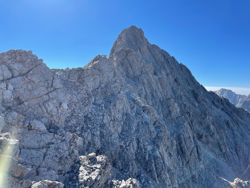
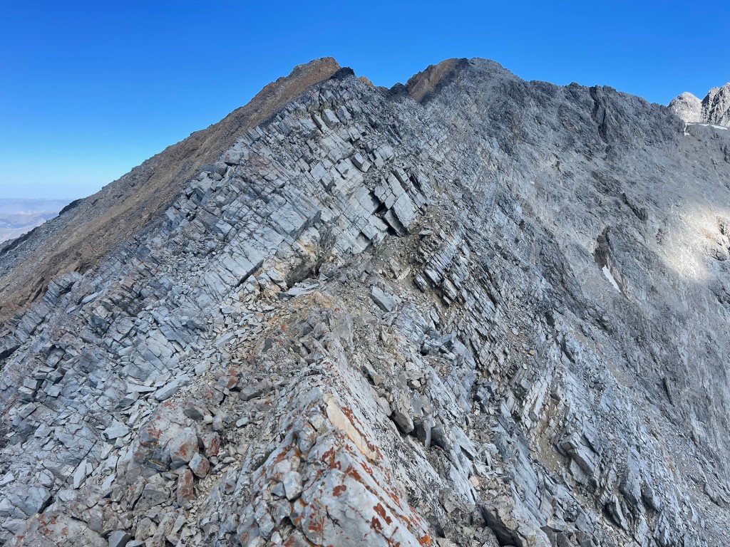
I crossed a steep chute or 2 and then climbed up onto the ridge. The route looked rather intimidating from here.
I slowly began climbing down to the saddle between the 2 peaks. This part was mostly class 2 with perhaps a couple easy class 3 moves here and there. There was definitely some exposure though which kept my heartrate up.
I reached the saddle at 5.3 miles at 11491 feet. I then began carefully climbing to Sacajawea.
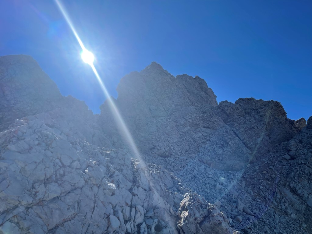
The climbing became more difficult and more exposed past the saddle. There were multiple class 3 pitches and a few parts with lots of air underneath me. I climbed up one pitch which I might consider easy class 4. Further up I climbed up another pitch which was definitely class 4. Thankfully, this pitch didn’t have a ton of exposure, but a fall would obviously still be bad.
The climbing eased up once I was above the class 4 crux. It wasn’t far to the summit from there.
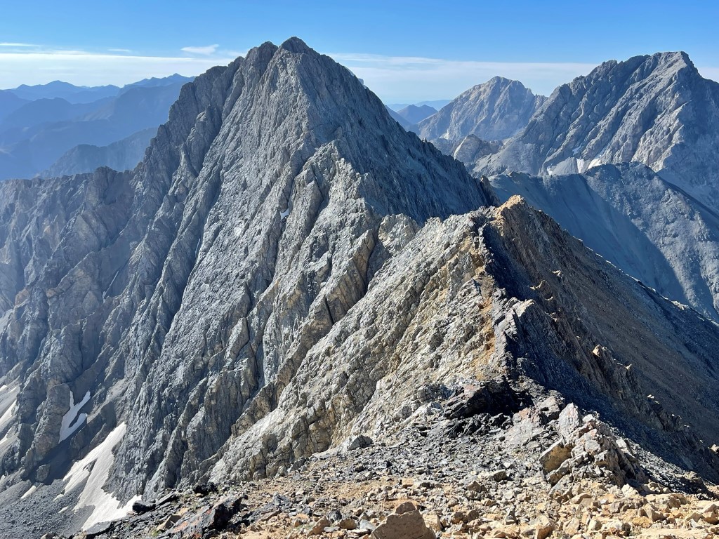
I reached the summit at 11:16am at 5.9 miles! There was no register or survey markers. I had an excellent view looking back at Mount Borah to the north:
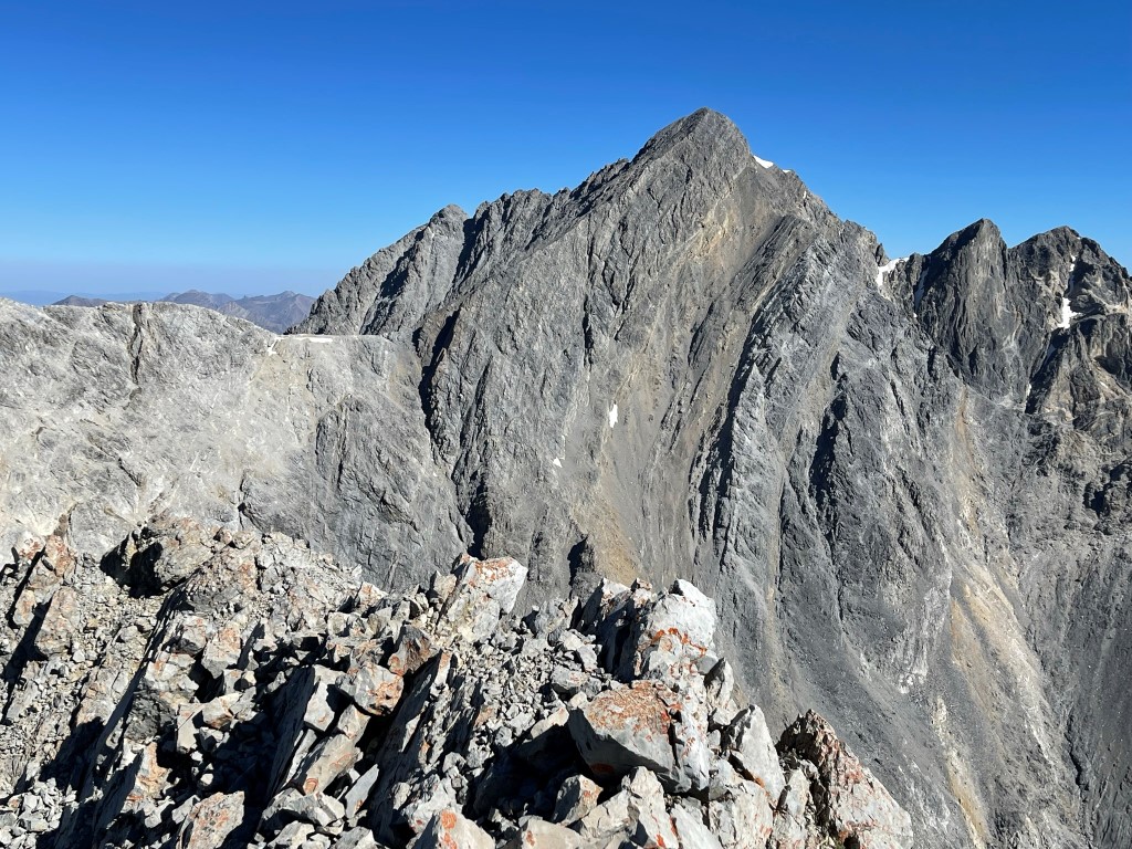
Mount Idaho is the next peak to the south:
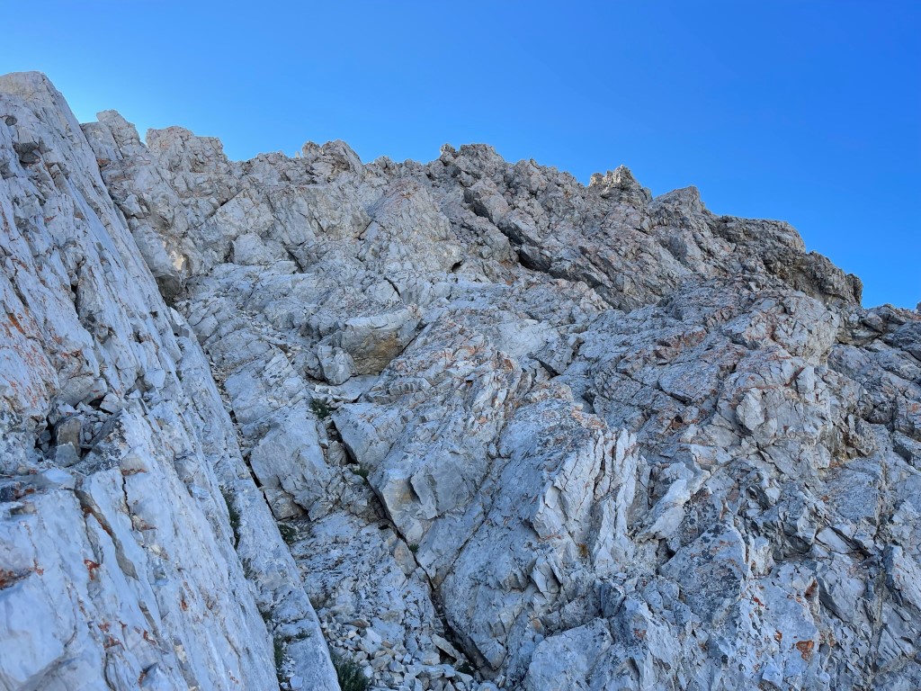
After a nice break I reversed my route along the ridge. This is at the top of the class 4 crux looking down:
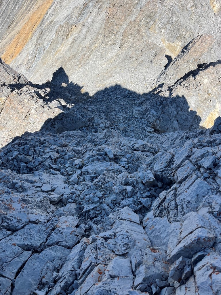
Downclimbing the class 4 crux wasn’t easy, but thankfully I managed it without any issue. I made my way carefully along the ridge.
I reached the trail again at 6.4 miles. The entire traverse (to Sacajawea and back) had taken about 2.5 hours. I then re-joined the crowds descending Chickenout Ridge.
I made good time down the trail and reached the car at 1:40pm. Stats for this hike were 9.86 miles, 6083 feet elevation gain, and 8:45:40 total time.

I packed up and made the long 6.5 hour drive to Seven Devils Campground in western Idaho. My plan for the next day was to climb She Devil and He Devil. Despite the long drive, it was insanely beautiful and I found the route to be very enjoyable.
