She Devil (9400 ft) and He Devil (9400 ft) are 2 separate peaks located in western Idaho near the Snake River and the Oregon border. Neither has been officially surveyed, but both peaks are within the same 9400 ft contour on topographic maps. Whichever one is higher has 5200 feet of prominence and is one of only 57 ultra-prominent peaks in the contiguous United States. The lower one has a mere 600 feet of prominence from the saddle between the two. Peakbagger lists the same elevation for each peak, but has She Devil on all of the prominence and elevation based lists. Anyway, I planned to climb both of them via a loop hike through the Seven Devils Wilderness. I had driven to Seven Devils Campground the night before and slept in the rental car. The campground is about 17 miles from US Highway 95 on good dirt roads. Google Maps will get you there no problem. I began this hike at 4:48am from 7533 feet above sea level. The trailhead for Sheep Lake is located on the southwest corner of the campground loop road. It was a bit tricky to find in the dark.
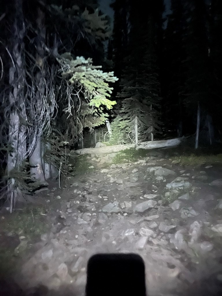
I followed the Sheep Lake Trail through the darkness as it ascended steeply from the campground. I could see the Tower of Babel in the distance.
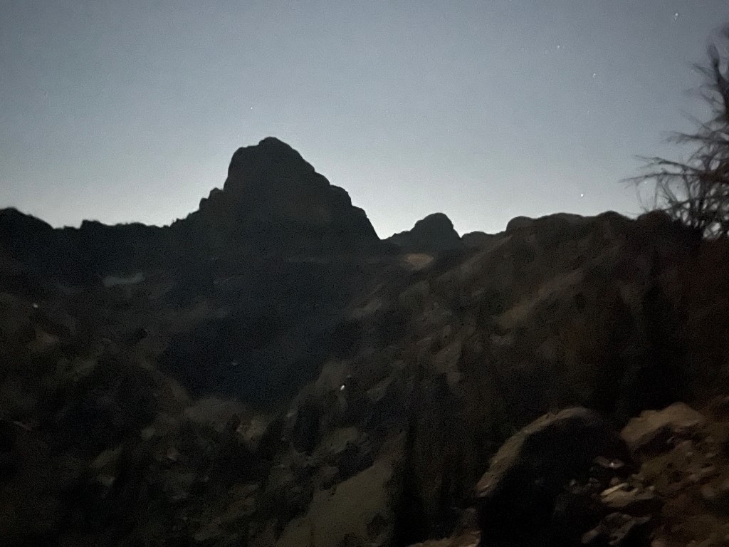
The trail was rugged and difficult to follow in the dark (despite the nearly full moon). At 1.2 miles I left the trail and hiked south along a ridge.
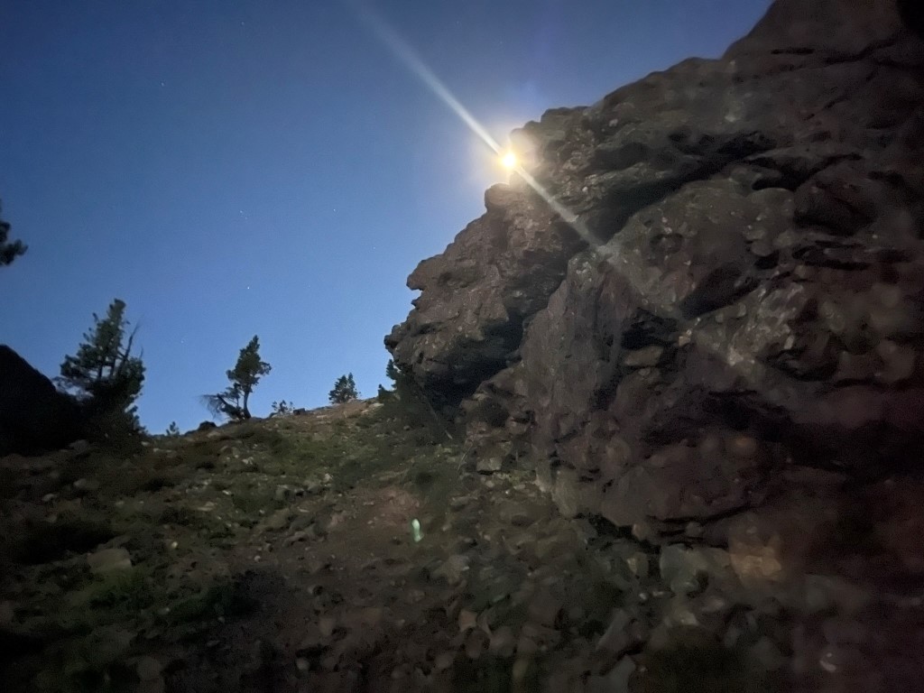
I crossed over the top of the ridge and descended briefly down the other side. I then side hilled to the south along the western side of the Tower of Babel. I wanted to climb the Tower of Babel but decided to skip it since I was in a bit of a rush (I needed to get back to Boise for a flight later that day).
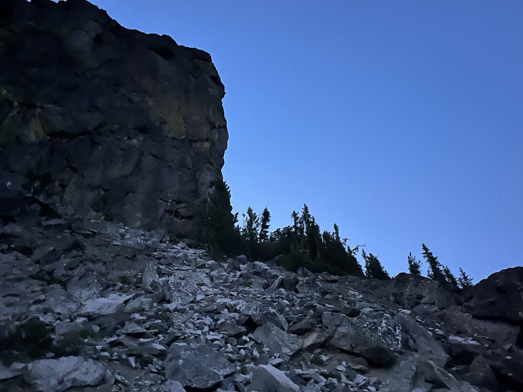
I climbed up some loose talus and reached the ridge southwest of the Tower of Babel. From left to right, I could see Mount Baal, She Devil, and He Devil in front of me.

I descended to a minor saddle between the Tower of Babel and Mount Baal.

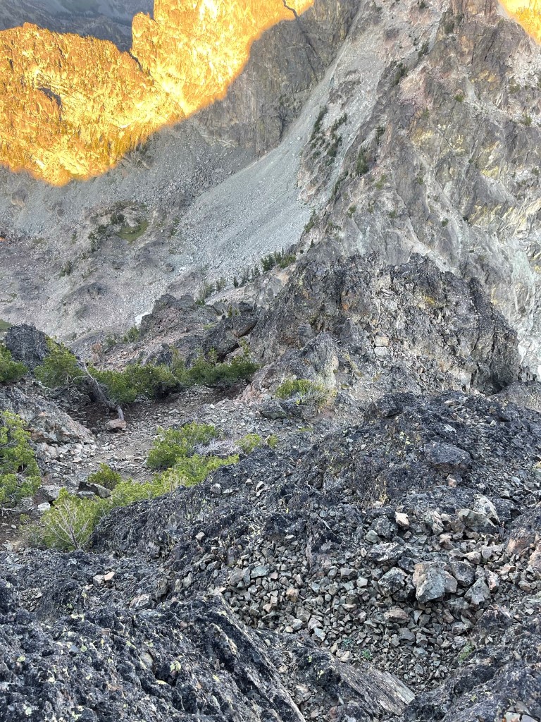
I then climbed up class 2 slopes to the summit of Mount Baal. I reached the top at 6:40 at 2.5 miles! I was unable to sign the register which just consisted of bits of scrap paper in a metal pipe. To the east I had an excellent view of the sunrise to the right of the Tower of Babel.

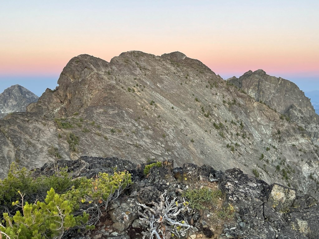
To the west was She Devil with He Devil behind it and to the right:
I descended to the saddle between Mount Baal and She Devil.
I stayed to the right of the ridge and did an ascending traverse towards the summit. I soon regained the ridge, where it was an easy walk to the top.
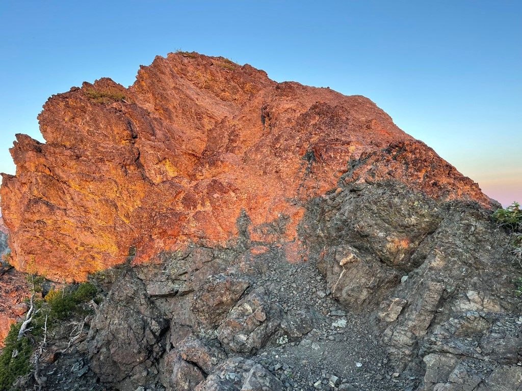
I reached the summit of She Devil at 7:08am at 3 miles! I signed the register which had been placed in 2008. The most recent entry was from the day before. He Devil loomed in front of me still to the west:
I didn’t wait long before continuing. The traverse between She Devil and He Devil would be the crux of the day and I wasn’t sure how long it would take me. The distance is very short but there was reported to be multiple pitches of class 4 on He Devil’s east face. I descended down the western side of She Devil to the saddle.
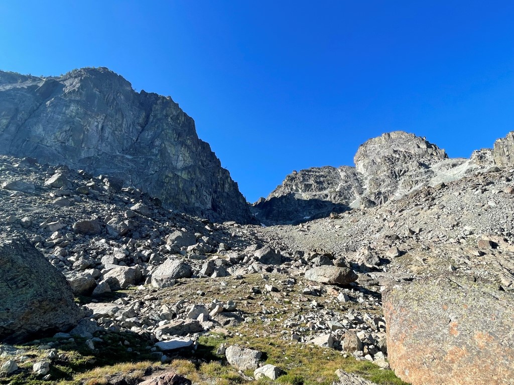
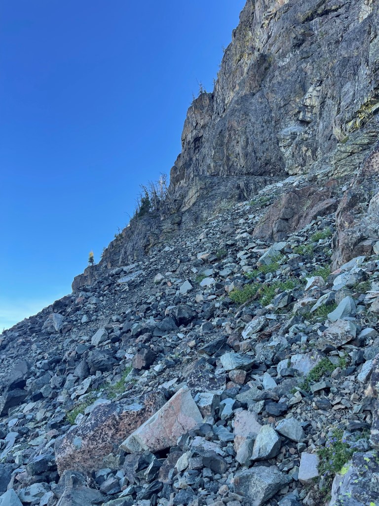
The descent to the saddle required a few class 3 moves as well as a few sections of loose scree. I reached the saddle at 3.3 miles at 8819 feet.

He Devils’ east face was as difficult as advertised. I encountered 3 or 4 pretty stiff class 4 pitches – maybe even low class 5, not sure.
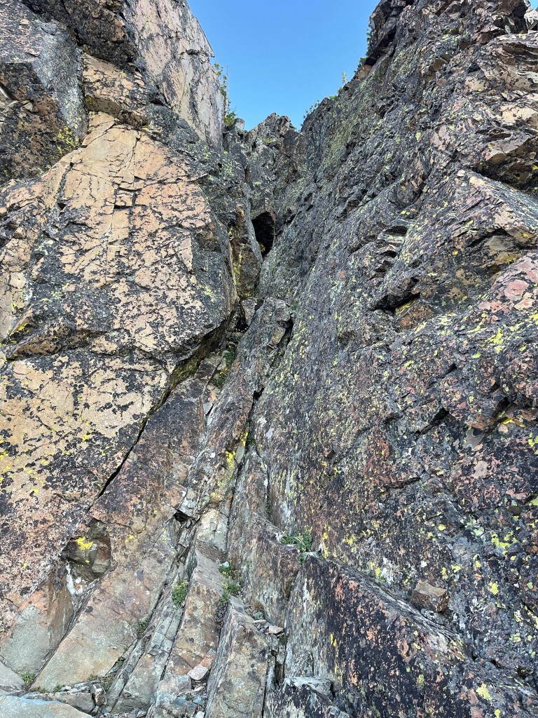
Thankfully the route finding was simple enough. Also, there wasn’t any insane exposure on the toughest moves.

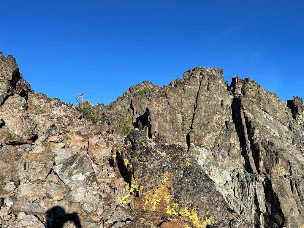
The climbing eased up as I neared the top.
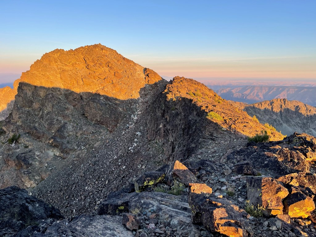
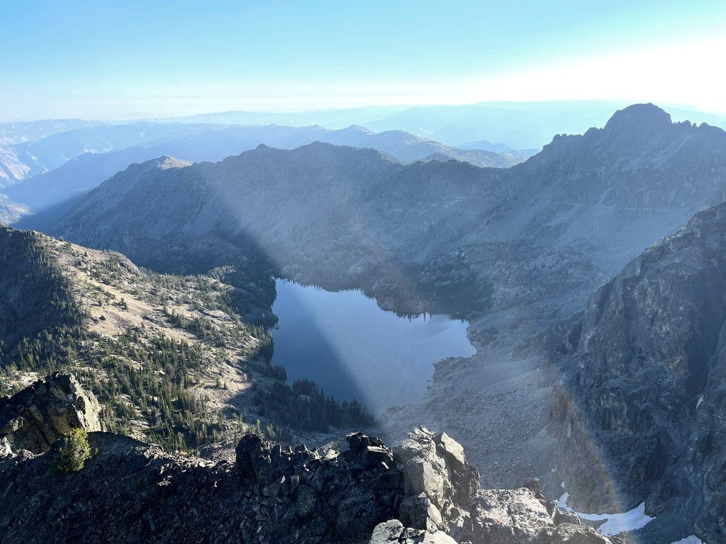
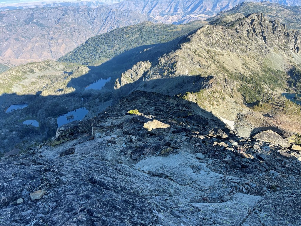
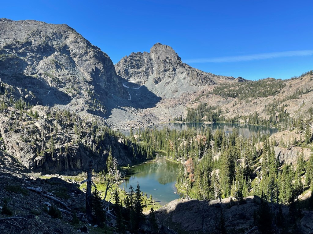
I reached the summit at 8:08am at 3.7 miles! There were 2 competing high points about 3 minutes apart, so I visited both of them. The register was located on the southwestern point. The register was placed in 2019 and most recently signed 2 days before. To the east I could see the Tower of Babel, She Devil, and the Ogre:

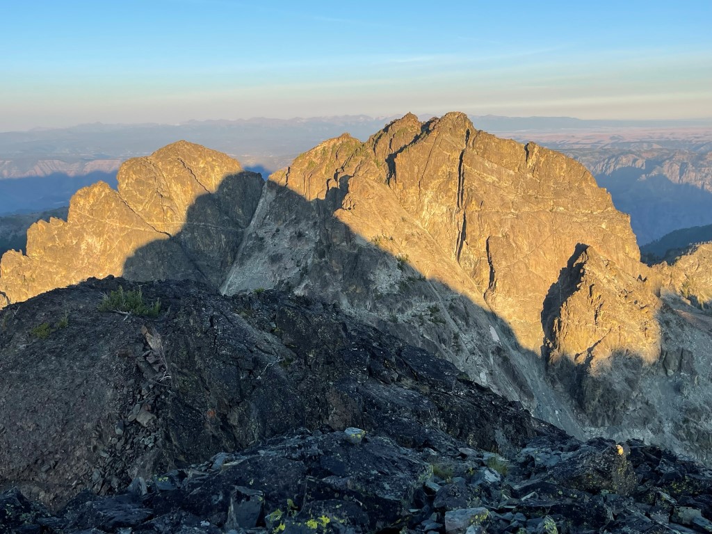
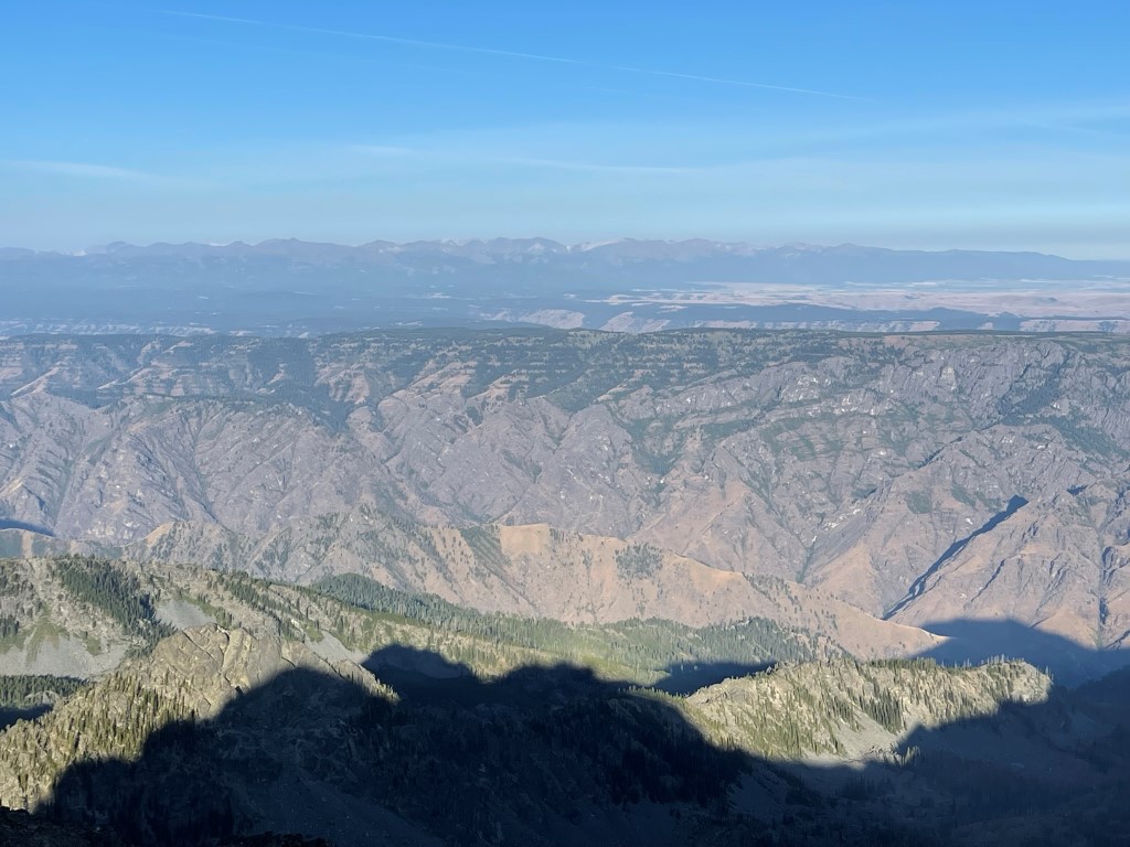
To the west I could see Sacajawea Peak in Oregon. This is a different Sacajawea Peak than the one I had just climbed the day before near Mount Borah. Idaho and Oregon are divided by the Snake River in this region. The Snake River sits at the bottom of Hells Canyon which you can see part of in the picture below. He Devil rises over 8000 feet above the river which makes Hells Canyon the deepest canyon in North America (according to Summitpost).
Sheep Lake to the northeast:
I had made good time on the traverse, so I was no longer concerned about running out of time to get to Boise for my flight. I then descended the northwest ridge of He Devil, which is the standard ascent route. This is the only reason I was comfortable attempting the traverse from She Devil to He Devil (since I knew I wouldn’t have to downclimb the class 4 sections).
There was actually a decent use trail on the ridge. Eventually I climbed down off the ridge and hiked northeast across a talus field towards Sheep Lake. There was a large snowfield on He Devil’s north face.

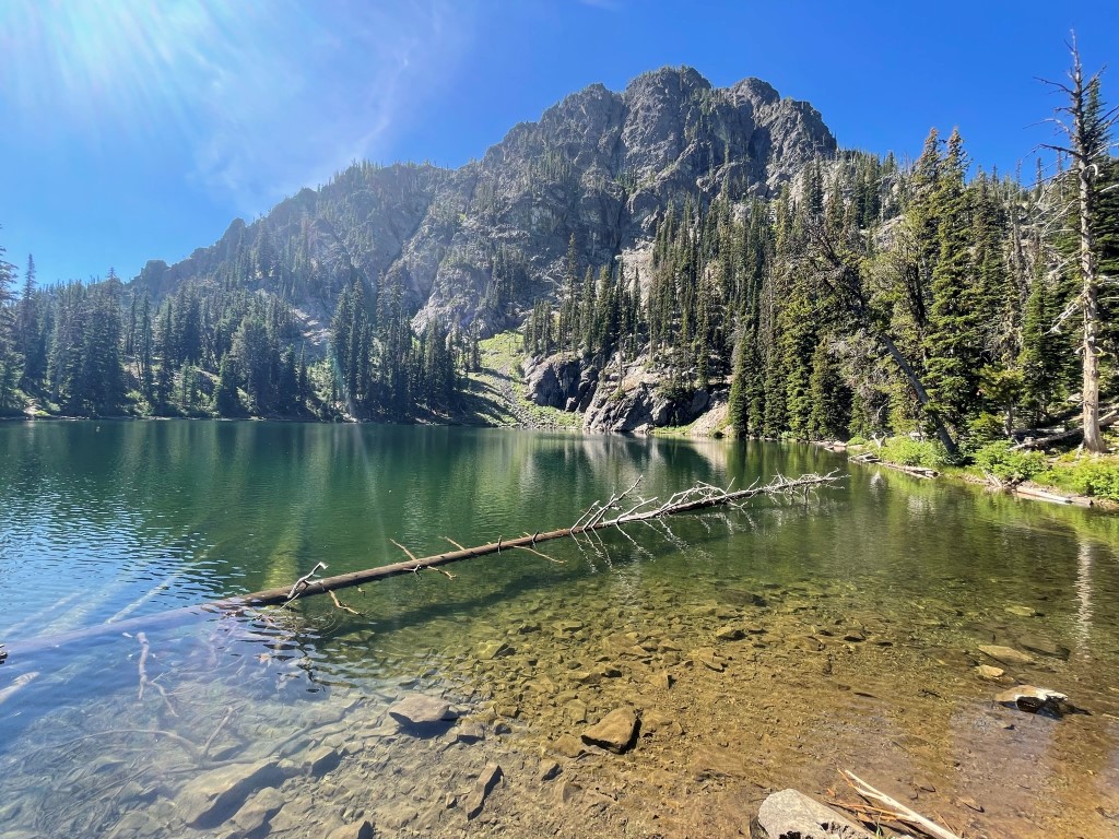
I crossed the talus field and went up and over a small ridge. I descended the other side and reached the Sheep Lake Trail at 4.9 miles. I hiked down to the lake and took a lengthy break near the water.
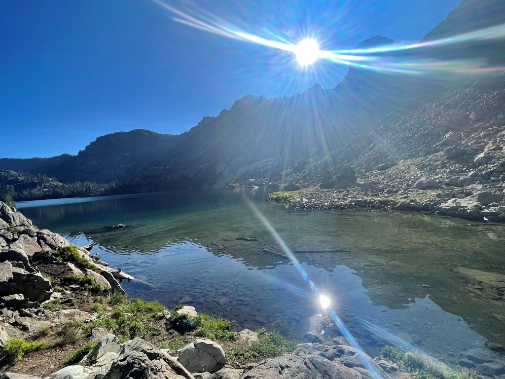
The lake was beautiful.

I turned around and had a nice view of She Devil and He Devil behind me.
I soaked my feet in the water for a little while and enjoyed the nice weather. I then began the hike back to Seven Devils Campground. I ran into a couple of backpackers on the far side of the lake. The trail climbed northeast away from the lake.
I took one last look at She Devil and He devil rising above Sheep Lake.
I reached the top of the pass and then descended the other side as I rejoined my ascent route. I made a small detour on the way down to visit Seven Devils Lake which was very close to the campground.
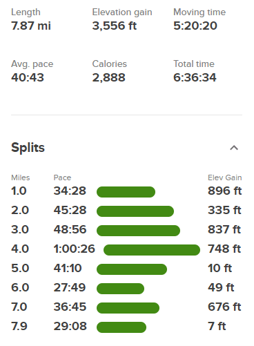
From there it was a short walk back to the car which I reached at 11:25am. Stats for this hike were 7.87 miles, 3556 feet elevation gain, and 6:36:34 total time.

I packed up and made the 4 hour drive back to Boise for my flight home. It was an incredible 4 days in Idaho!
