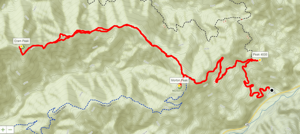
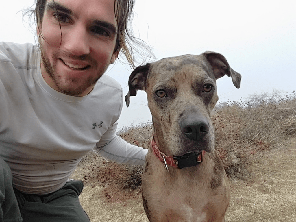
At 4:45am Stella and I were on the road and driving north towards the San Bernardino mountains. I was excited to return to the large mountain range which lies northeast of the Inland Empire. I had only been hiking in the San Bernardinos twice, back in June 2018 to climb 11,503 foot San Gorgonio Mountain and in October 2018 to climb 10,649 foot San Bernardino Peak. San Gorgonio is the highest mountain in all of southern California and the 2 peaks are undoubtably the most well known peaks in the range. Since the mountains had already received a decent amount of snowfall this year at higher elevations, my goal today would be a few lower peaks. I had a few ideas of peaks to climb throughout the week, but I finally settled on Keller, Slide and Mill Peaks the night before. Keller and Slide are both well over 7000 feet so I was concerned there would be too much snow, but I thought I would drive up there and take a look. I started up State Route 130 and reached the little mountain town of Running Springs. There were some huge snowbanks throughout town which reminded me of back home in the Midwest. I noticed most of the mountainsides were covered in snow and it looked like most of the dirt roads required to get to the trailhead were closed, so I decided to drive back down to lower elevations. My next idea was to drive back down CA-130 where I could climb Harrison Mountain and McKinley Mountain. Both would require hikes of about 4-5 miles so I thought I could make a good day out of climbing these 2 lower peaks. I reached the dirt turnout where the route for Harrison begins and finally got out of the car and began hiking at 7am.

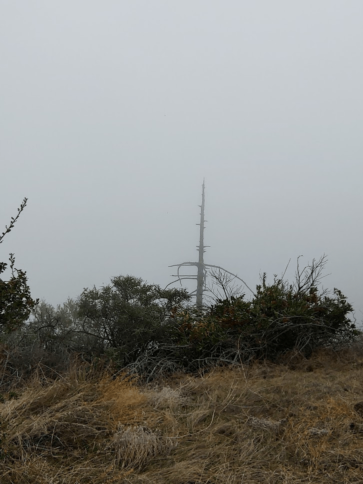
It was a very cold morning, so I even put Stella’s sweater on as we began. Harrison Mountain was already visible at the start of the hike.
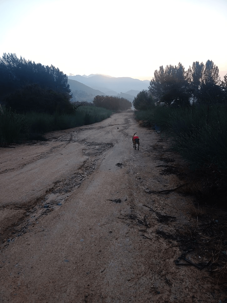
The route starts off on a dirt road called Old City Creek Road for a short way.
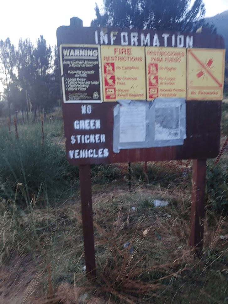
We passed an information board with a few notices on it.
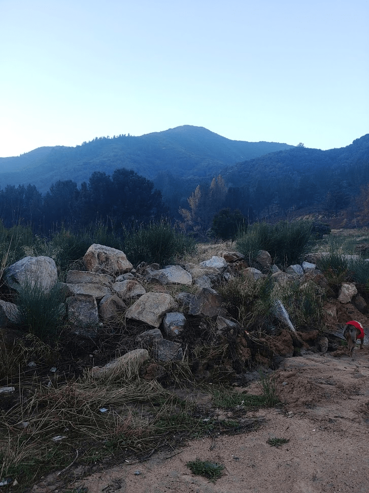
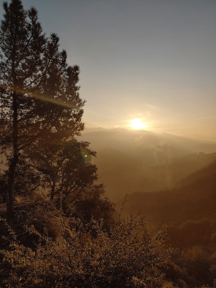
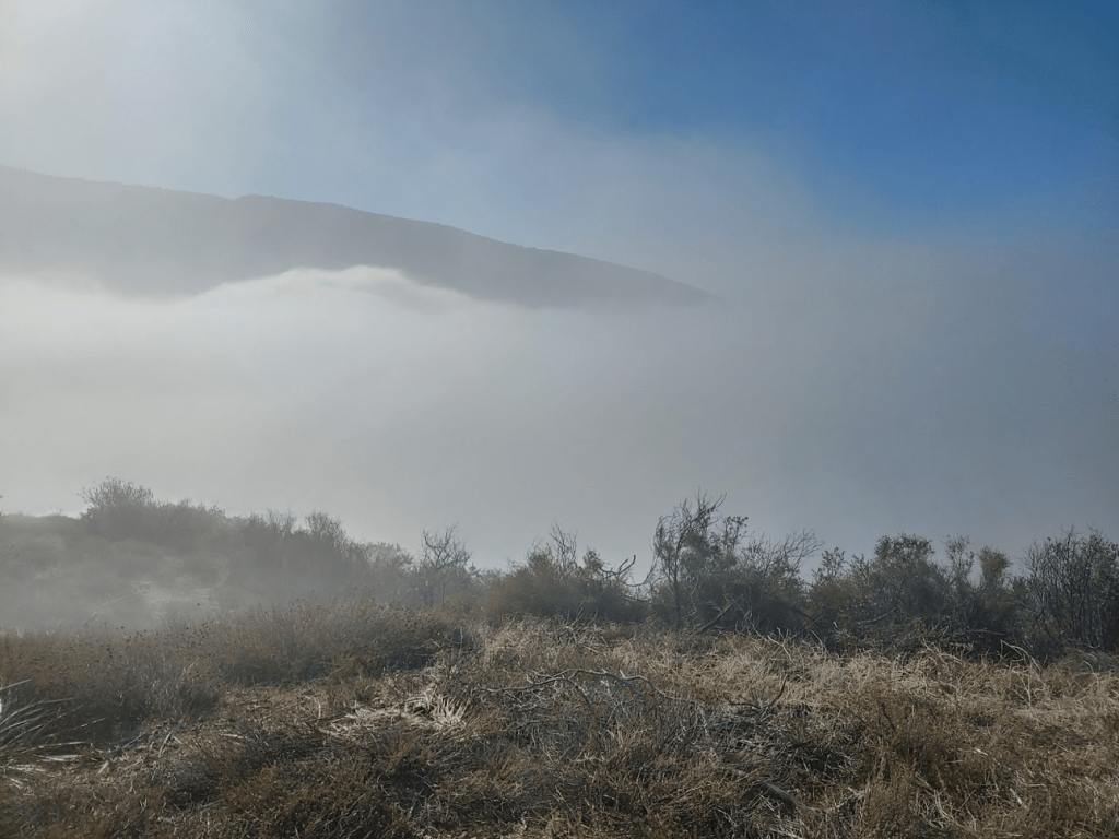
To the east the sun was rising over a layer of low clouds.
I looked back down on the highway a few times and noticed a long line of cars heading up into the mountains. CA-130 is the highway up to Big Bear so I imagine it’s always very busy on the weekends with people heading up to ski for the weekend.

The use trail is fairly well defined for the first mile or so. It was pretty steep in a few places but not too bad.

As we continued up the trail the brush started to worsen. There were a few times I really had to crouch low to get through the brush and even had to take my backpack off a few times. After about 1.2 miles the brush was getting so dense and our progress really started to slow down. We were over halfway to the top at this point, so we pressed on. It finally got to the point where the brush was impenetrable, so I checked my GPS and found we were slightly off-route. Temporarily relieved, we backtracked a short way and then started on the correct route again. The brush converged on us again almost immediately. It was so thick that I took my backpack off and crawled a short distance to see if I could push through. I made a little progress but now the trail had completely disappeared. I once more checked my GPS and found I was on the correct route. I couldn’t believe others had used this route so out of curiosity I decided to check Peakbagger for any recent reports that had mentioned the thick brush. I found someone had posted a report just the day prior mentioning the same difficulties I was faced with. The hiker had theorized that the Thanksgiving snow storm had dumped so much snow on the mountain that it collapsed the canopy over the trail. It seemed that the hiker had reached pretty much the exact location I was at and turned around. After reading that I decided we had no choice but to turn around. I made fairly good time back to the car. As I was descending, I noticed some fog rolling in.
We reached the car around 8:20am. I clocked 2.2 miles, 801 feet elevation gain, and 1:18:43 total time on our attempt on Harrison. I was disappointed at the lost time and wasted miles, but it was still early, and I had a lot of energy left. I made the decision to try for 2 more peaks called Morton Peak and Cram Peak, which can be climbed together in about a 10 mile hike. It was about a 30 minute drive to the trailhead just off State Route 38. I parked at the small dirt turnout where Forest Road 1N12 begins. There were 5 mountain bikers getting ready to ride up the road when I arrived. One could drive up this road to a gate where the road to Morton Peak begins. This would save about 2.5 miles round trip, but I decided to begin hiking here.

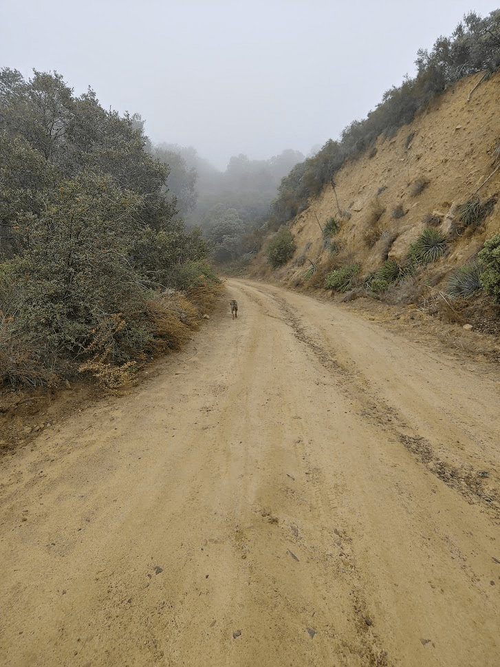
It was very foggy at the start of the hike. The road is fairly wide, and I certainly could have driven my Subaru on it, but I was glad to be hiking it.
There were a few other people out and about. We passed someone riding a dirt bike on their way down, and a runner passed us on her way up. As we were nearing the 2nd gate, we took a slight detour to climb Peak 4030 just a short way off the trail. There is a pretty nice use trail to the top of this small bump. We were getting near the top of the fog level and I could tell we would be above it soon.
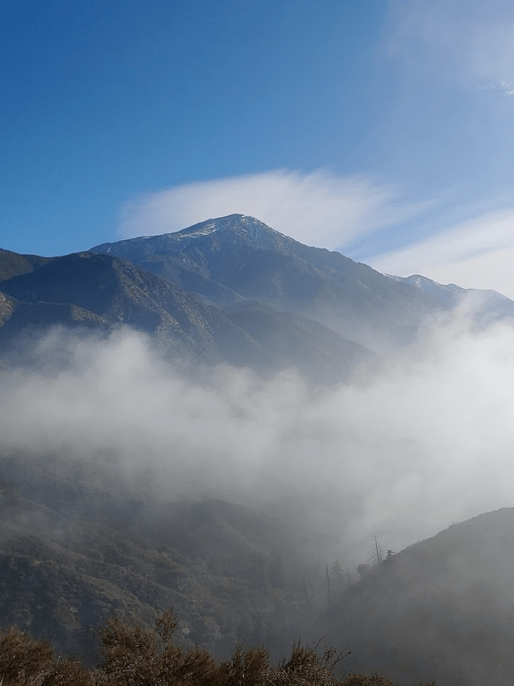
Snow capped San Bernardino Peak lay just a short distance to the east.
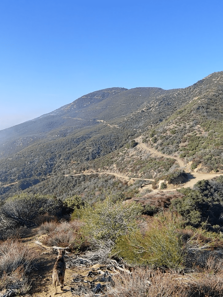
Looking back to the west we could see the road snaking up to the top of Morton Peak.
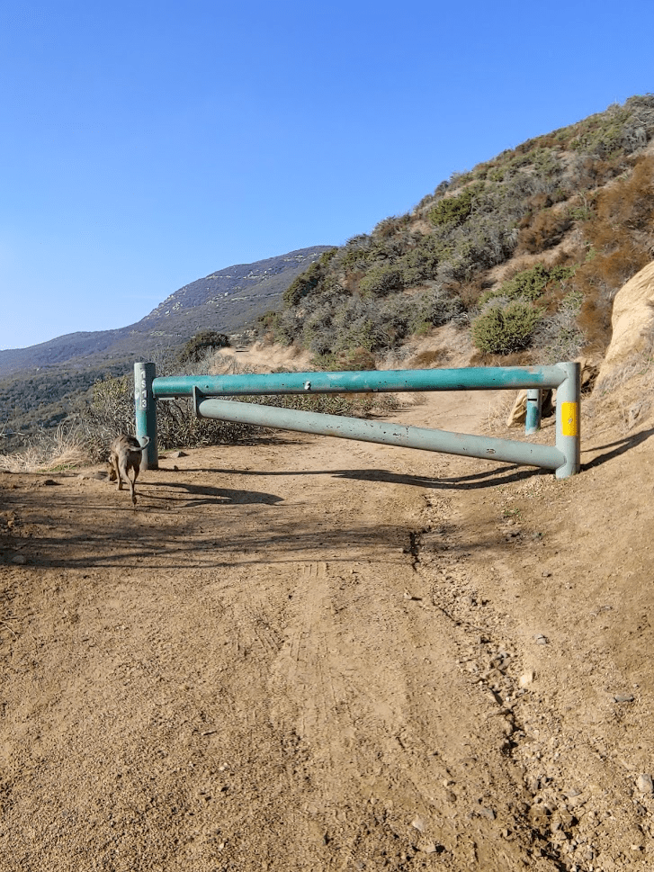
After we were done on Peak 4030, we proceeded through the 2nd gate. It sounds like this gate is always closed.
After passing through the gate we passed a woman and her dog coming down. Stella said hi as we continued on our way up. We got our first view of the lookout tower on top of Morton as we rounded a corner.

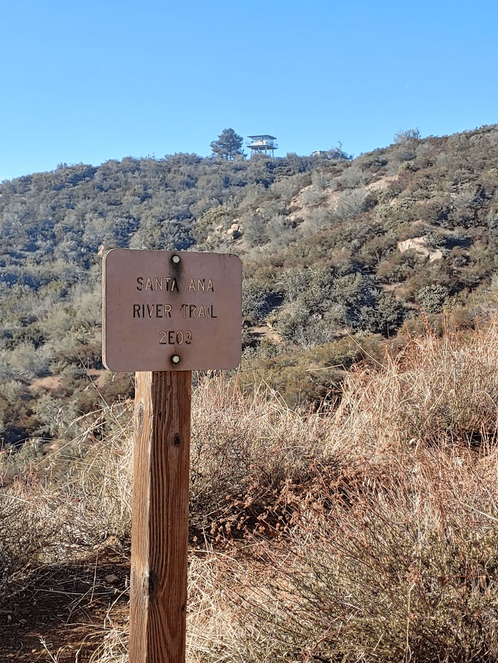
We passed a junction for the Santa Ana River Trail. I could see the mountain bikers had taken this trail.
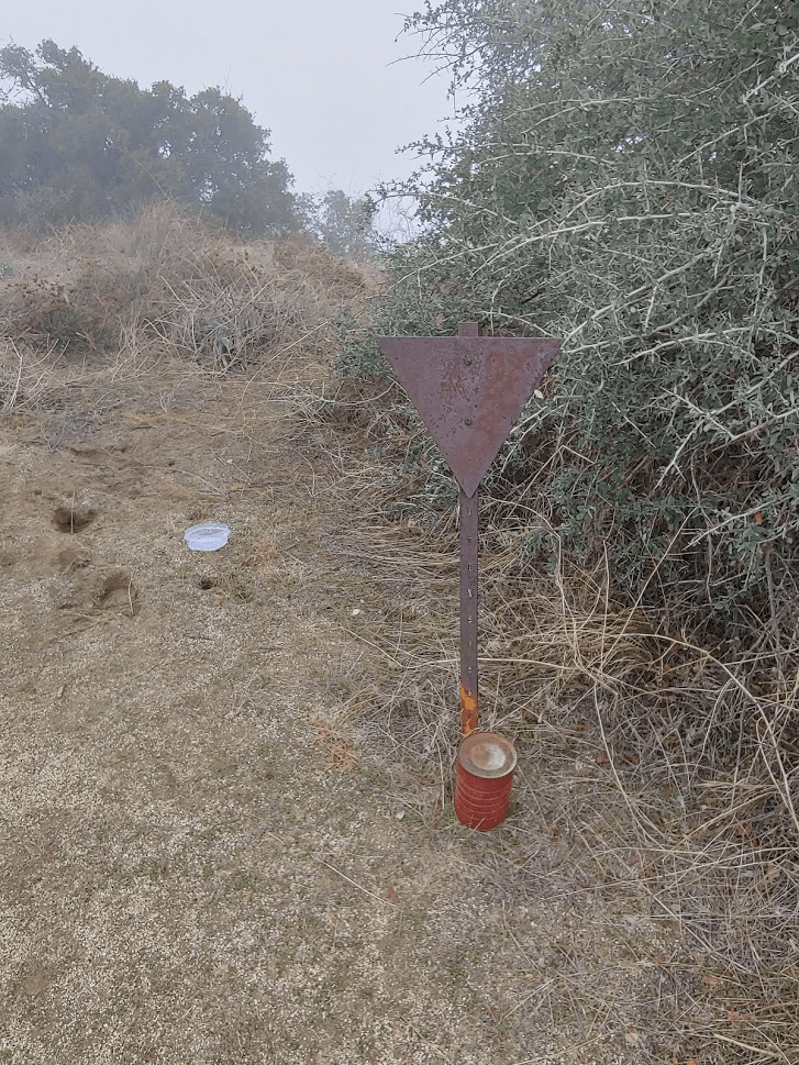
Finally, at 9:52am we reached the summit of Morton Peak (4624 feet). We had been hiking for 2.8 miles.

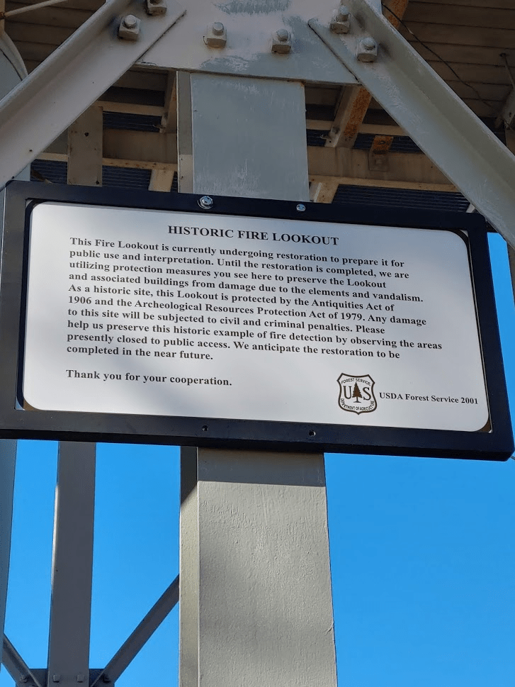
There was a sign on the lookout indicating it was closed for restoration.
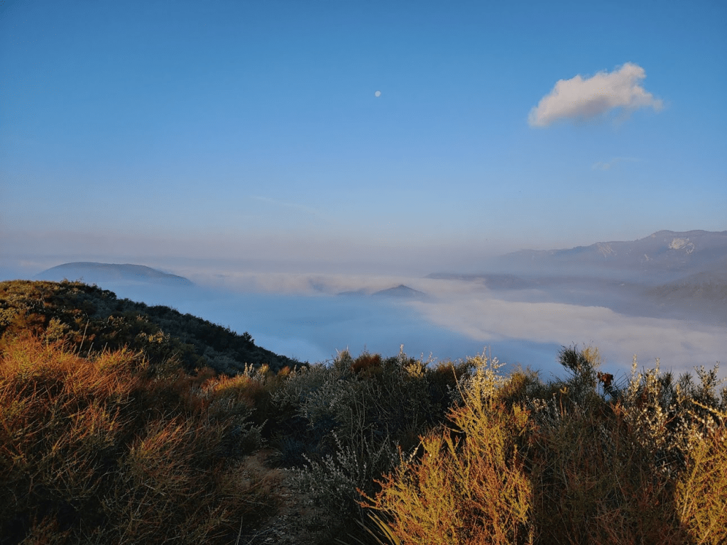
We were now well above the fog layer.

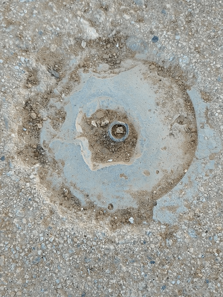
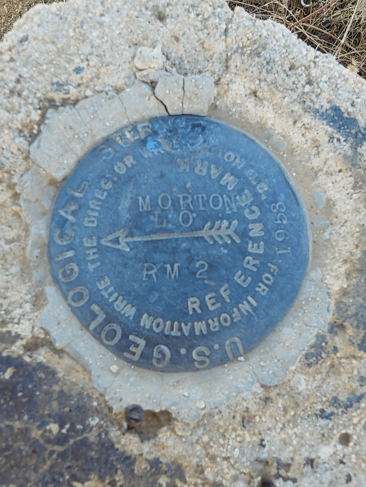
The USGS triangulation benchmark was missing, but we found where it used to be on the concrete foundation directly beneath the tower.
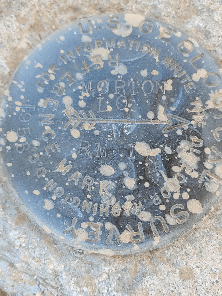
We did locate 2 reference marks.
San Bernardino once more looked impressive to the east. San Gorgonio could be seen peeking out behind it.

San Jacinto could be even be seen sticking up above the clouds many miles to the southeast.

After resting for just under 15 minutes we descended from the summit to continue on towards Cram Peak. We headed down the road a short way and located the use trail to Cram which branches off to the northwest.

The use trail was fairly easy to follow although we did lose it a few times. It got brushy in a few spots, but it was nothing after our experience on Harrison earlier that morning.

Cram is about 500 feet lower than Morton. The trail from Morton descends most of that distance right off the bat and then has a few ups and downs as you follow the ridge line to Cram. Every now and then the trail seemed to follow an extremely old road that had been graded into the side of the hills. Finally, after 5.34 miles of hiking we reached the summit of Cram (4162 feet) at 11:05am. It had taken us about an hour to reach from Morton. We found an old survey pole and a register at the summit.
There were no views to be had on Cram as we had descended into the clouds once more.
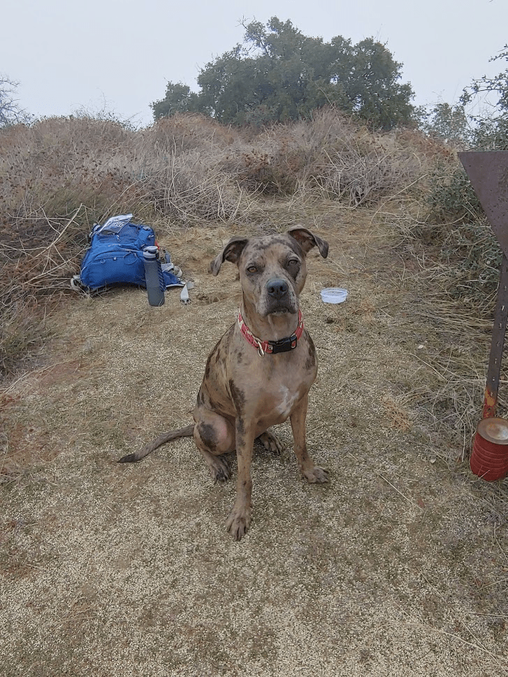
Stella and I took a nice 25 minute break as we both rehydrated and refueled.
At 11:30 we began our return. We regained the 500 feet of elevation as we returned nearly to the summit of Morton once more. It took about an hour to reach the road again. From there it was another hour back to the car. Stella was very tired once we were done.
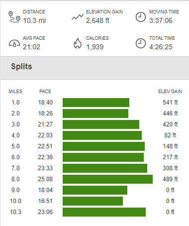
Total stats for the hike were 10.3 miles, 2648 feet elevation gain, and 4:26:25 total time.