I took a few days off work in mid-November to make a trip to southern Arizona to climb a series of peaks that had been on my radar for some time. There are a cluster of 4 “ultras” in the area that I planned to climb in 4 consecutive days. Ultras are peaks with over 5000 feet of prominence. Of the 57 ultras in the contiguous United States, I had climbed 13 so far (most recently Mount Shasta in August). On the 5th day I planned to climb Mica Mountain, which is a 4k prominence peak and the highpoint of Saguaro National Park. I left Tuesday evening after work and drove about 5.5 hours to a BLM campground on S Cattle Tank Road about 30 miles northwest of Tucson. The campground was nice and conveniently located only 12 miles from I-10, but unfortunately, I didn’t get much sleep due to constant noises on the top of my car. The same thing had happened to me the previous spring while parked outside of Pinnacles National Park in central California. I wasn’t sure if it was birds landing on the roof, rodents crawling on it, or something more sinister. Whatever it was, it was noisy enough to keep me up most of the night. I eventually drove closer to the freeway and just parked on the side of the road. I got some sleep there but still not very much.
Miller Peak and Coronado Peak
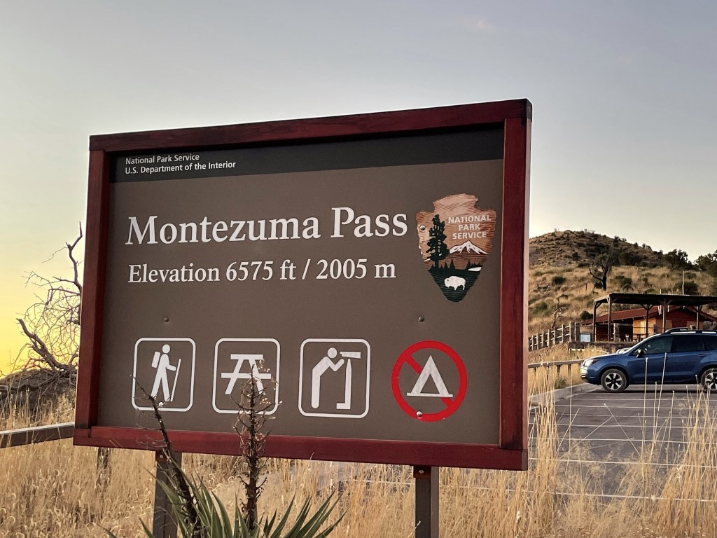
My primary objective for day 1 was Miller Peak, a 9466 foot peak located just a few miles north of the Mexican border. I woke up early and drove about 2 hours to Montezuma Pass in Coronado National Memorial. The final 2 miles to the pass are unpaved but the road is well graded and should be okay for any vehicle. There was a large parking lot at the pass, and only 1 other vehicle there when I arrived. I began hiking at 6:35am from 6554 feet above sea level.
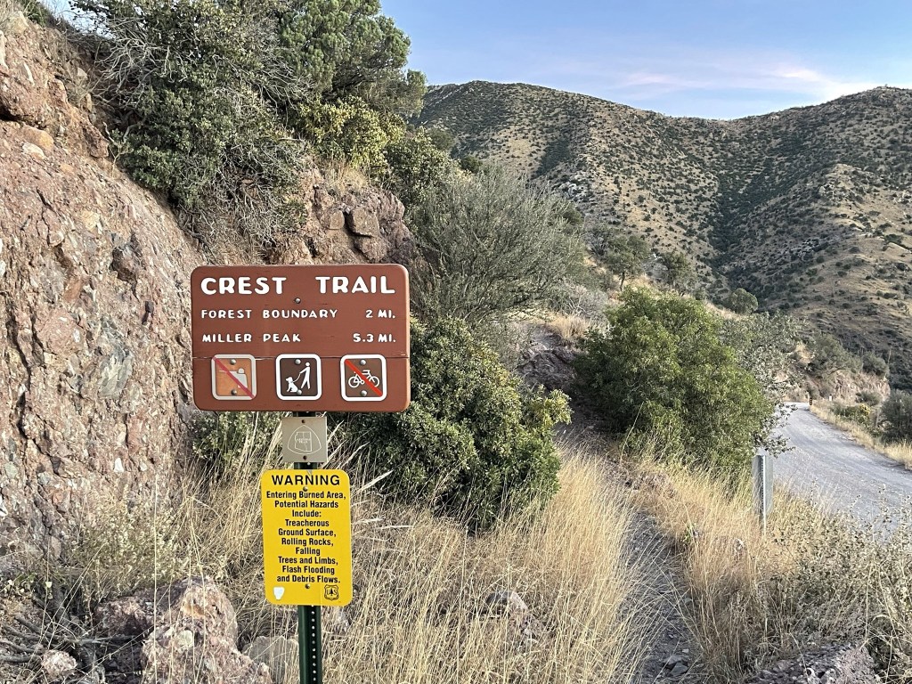
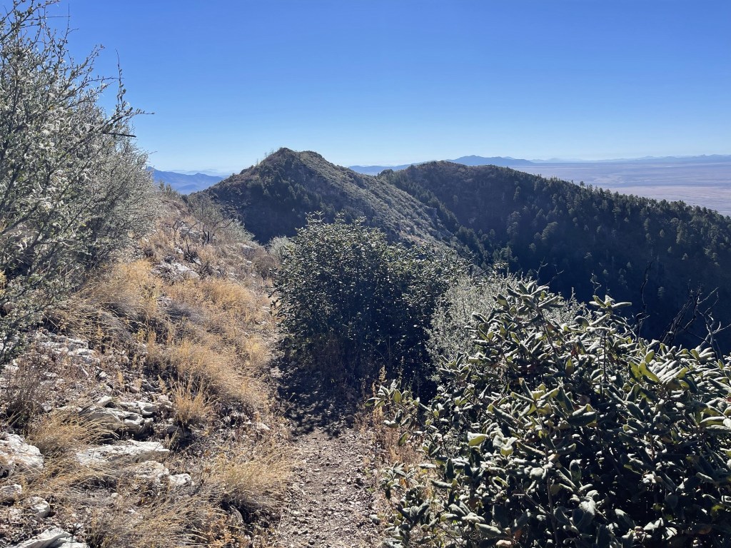
The hike would follow the well maintained Crest Trail for 5 miles (not 5.3) to Miller Peak.
I made my way north on the Crest Trail.
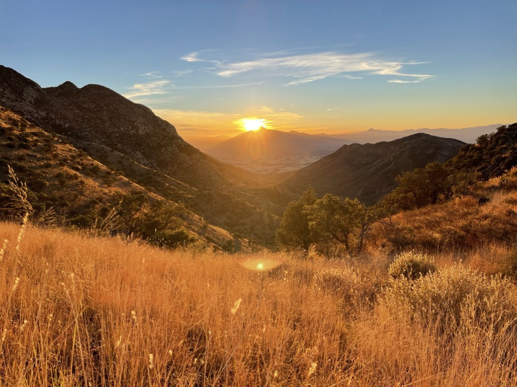
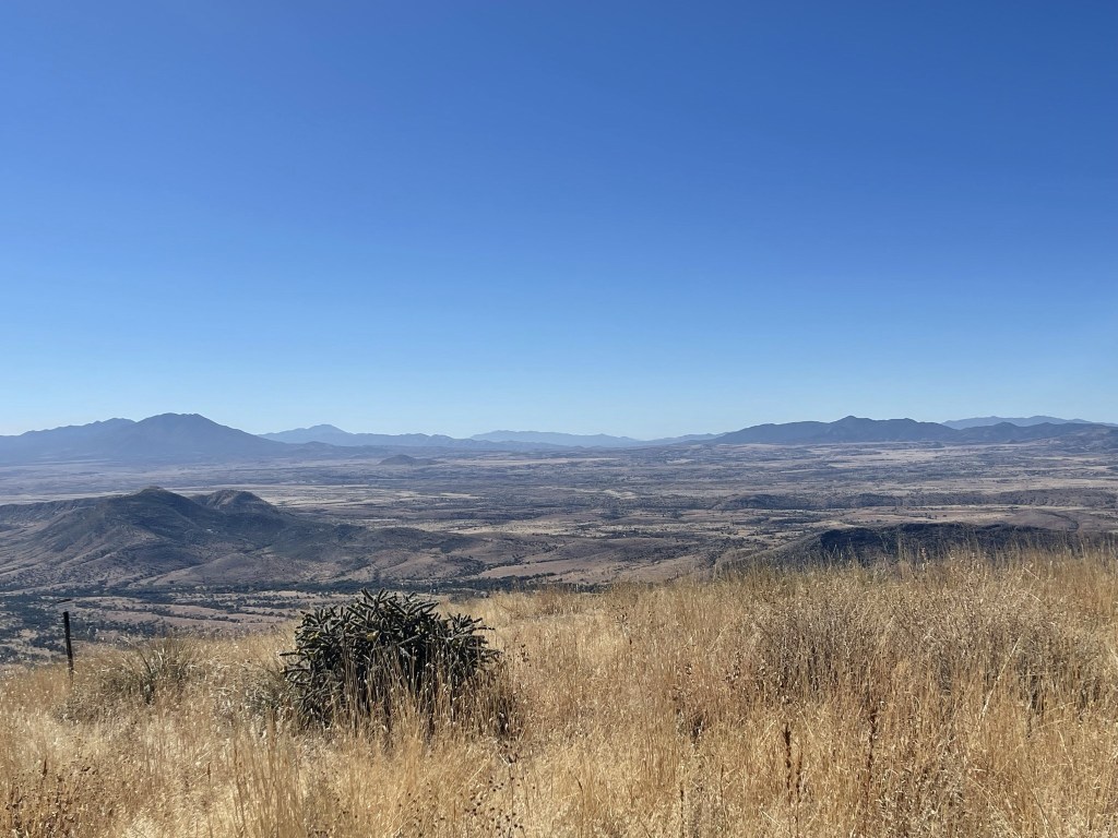
The sun began to rise to the east over Cerro San Jose, a Mexican peak located just on the other side of the border. The border fence is the straight black line in the picture below.

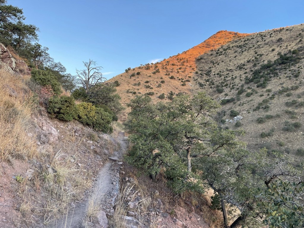
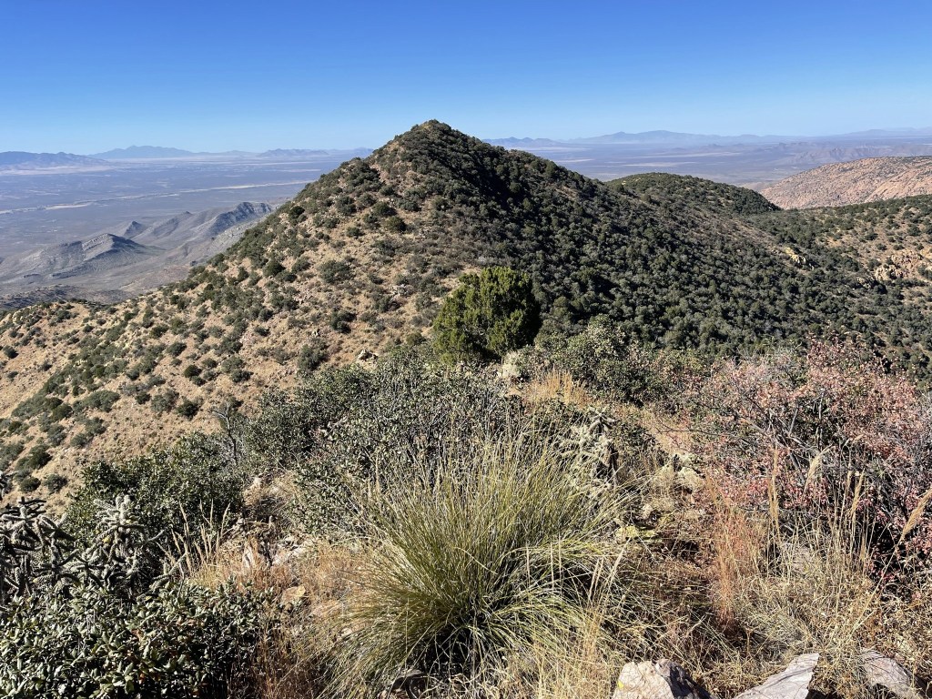
The morning sun lit up the terrain in front of me.

It was very beautiful!
At 1.6 miles I saw a massive insect in the middle of the trail. It was the size of a small rodent. I skirted around it and quickly moved on.

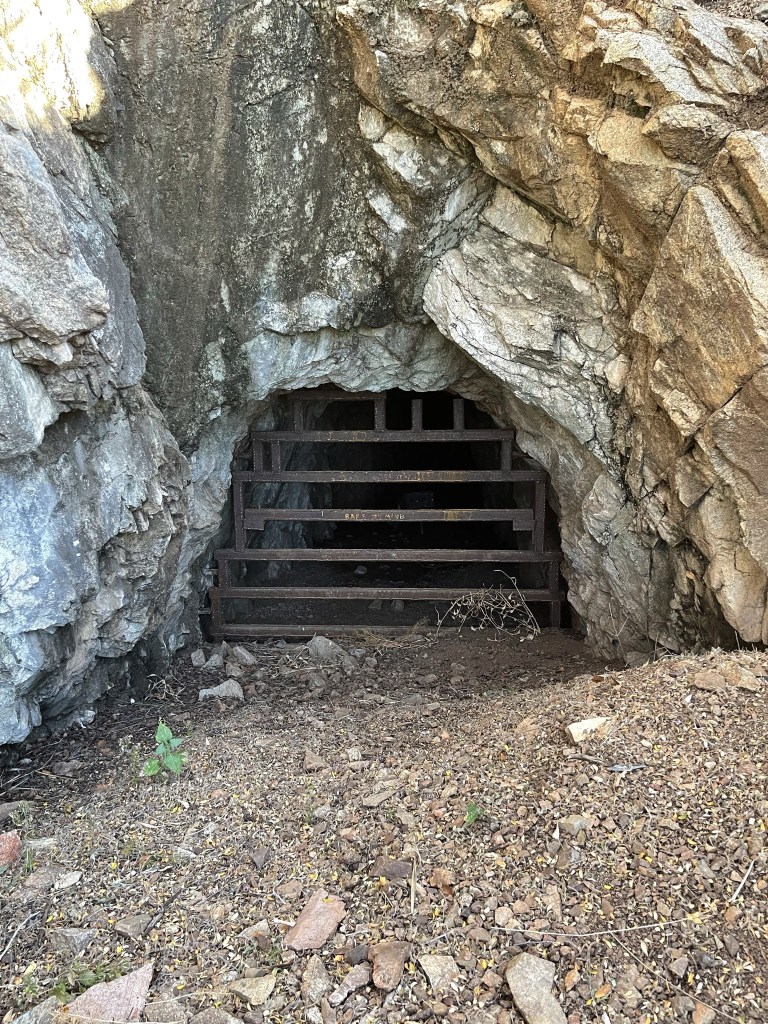
At 1.7 miles I passed a mine shaft covered up by a metal grate.

I passed another mine shaft at 1.9 miles.
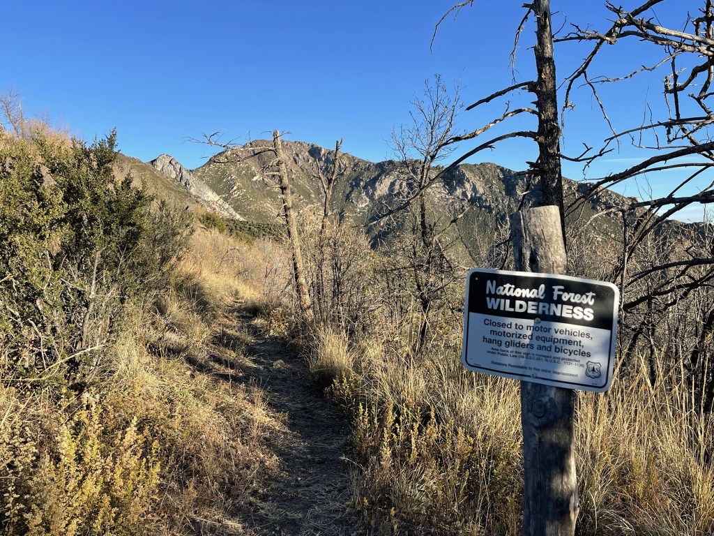
At 2.1 miles I crossed the boundary into the Miller Peak Wilderness of Coronado National Forest.
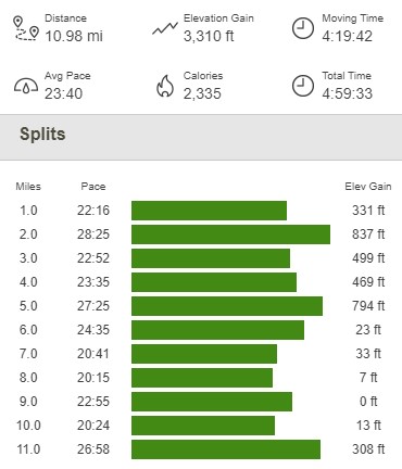
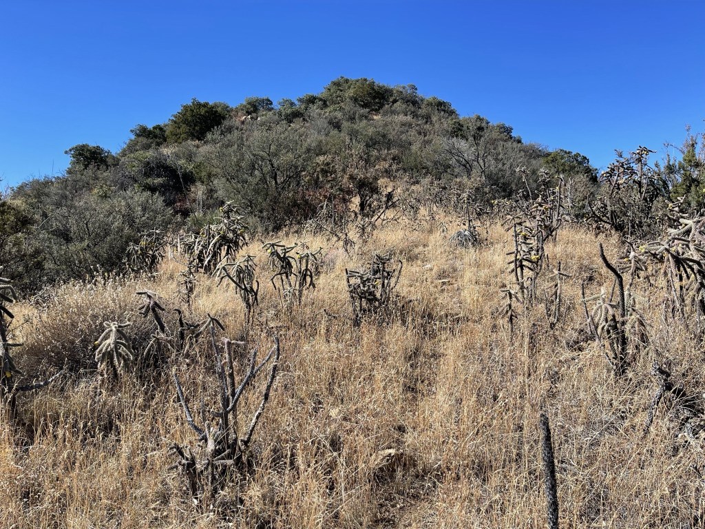
I got my first good look at Miller Peak, still a few miles to the north.

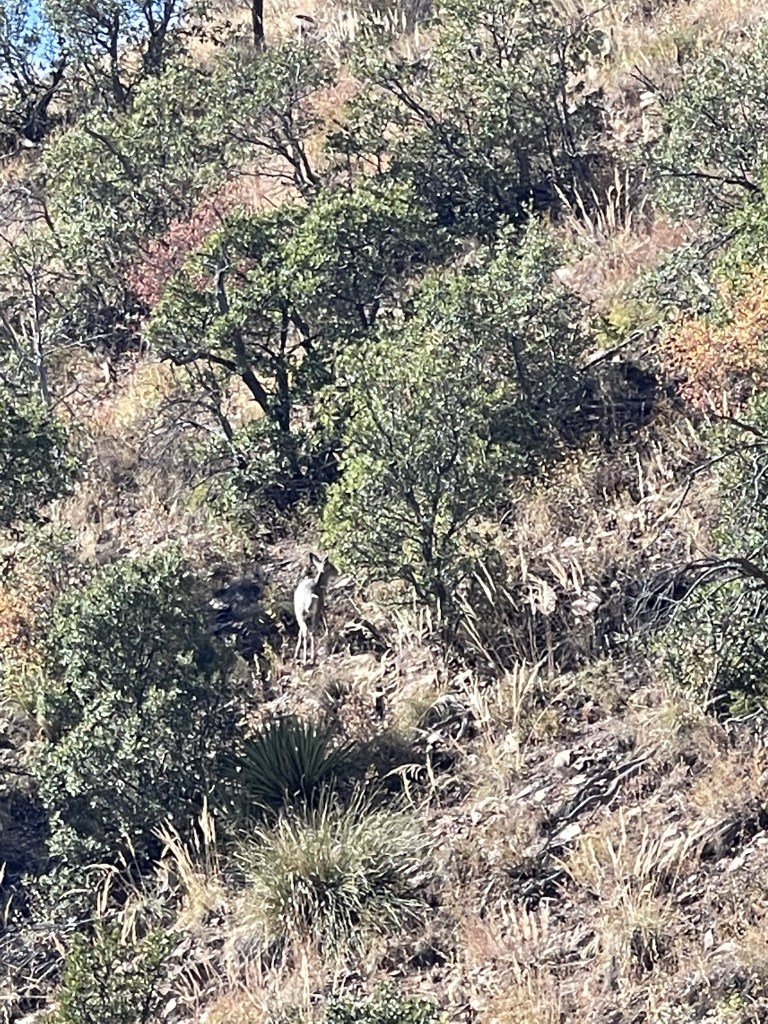
At 2.2 miles I saw 2 animals running down the slope to my right. I was confused because they looked like deer but were very different than the deer I’m used to seeing in California. They were more gray than brown and had bushy white tails. I actually thought for a second that they were overgrown foxes. I saw dozens more of these deer throughout the week.

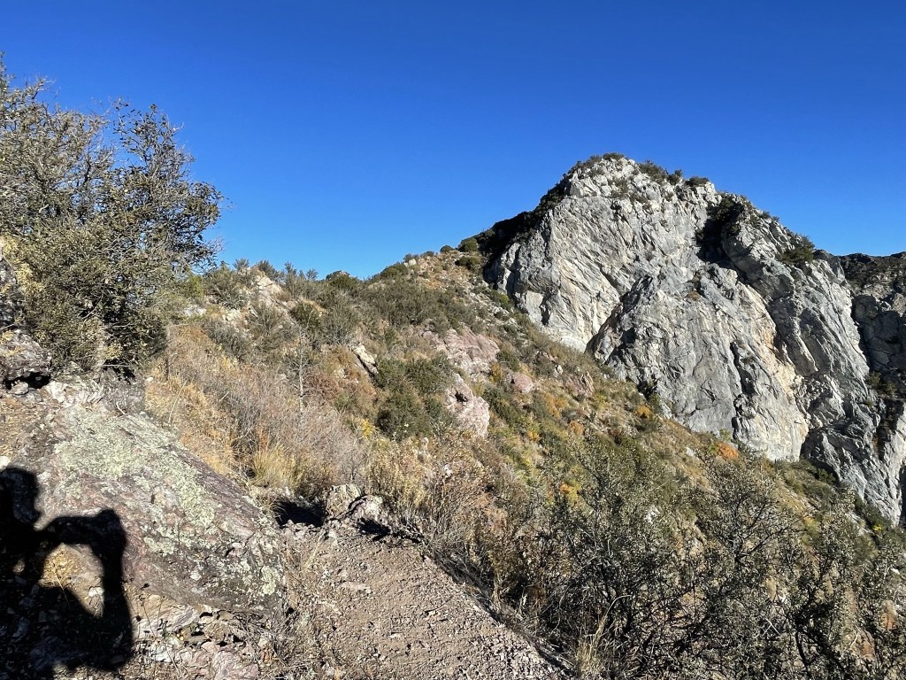
The trail went near a large rock feature.
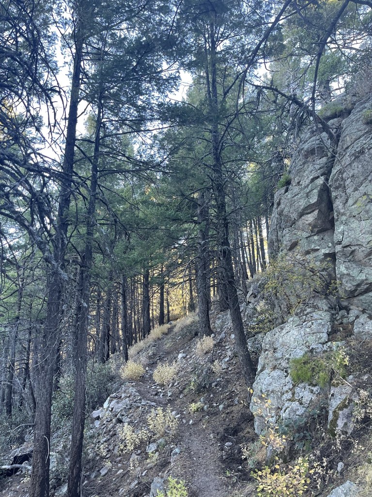
The trail then crossed to the left side of the ridge where it was much more wooded.
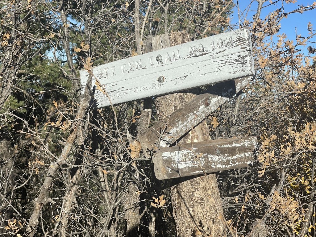
At 3.9 miles I passed a junction for the Lutz Canyon Trail.
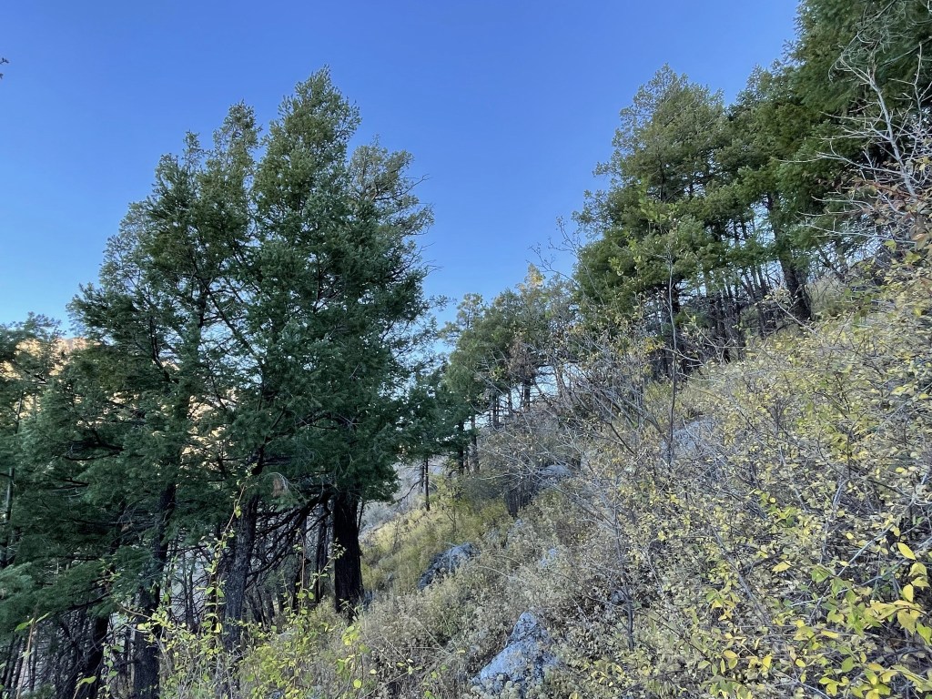
The forest was getting much denser.
At 4.3 miles I passed a group of 4 who were also heading north. They were all pretty young – 2 teenage boys and a younger boy and girl. They were wearing camouflage and seemed very uneasy by my presence. They stepped off the trail to let me pass and nodded at me as I went by. It took me a minute to realize that they were definitely border crossers. I knew this was a possibility beforehand due to the proximity of the peak to the border and warning signs at the trailhead.

At 4.5 miles I reached the junction for the Miller Peak Trail. I was close now.

It was a short hike from there up a few switchbacks to the summit.

I reached the summit at 8:41am at 4.9 miles! It was breezy on top, so I had to bundle up.

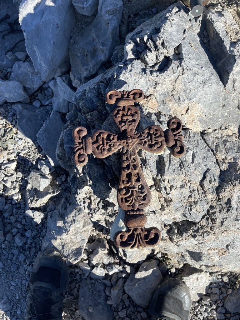
There was no register but there was a jar with ash inside. Perhaps the register had burned? There was also some kind of cross on the summit.
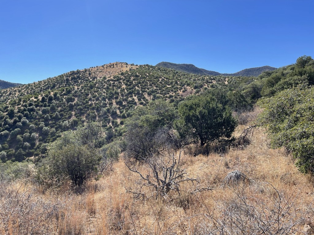
It was a perfectly clear day, so the views were excellent. I could see Mount Wrightson to the northwest:

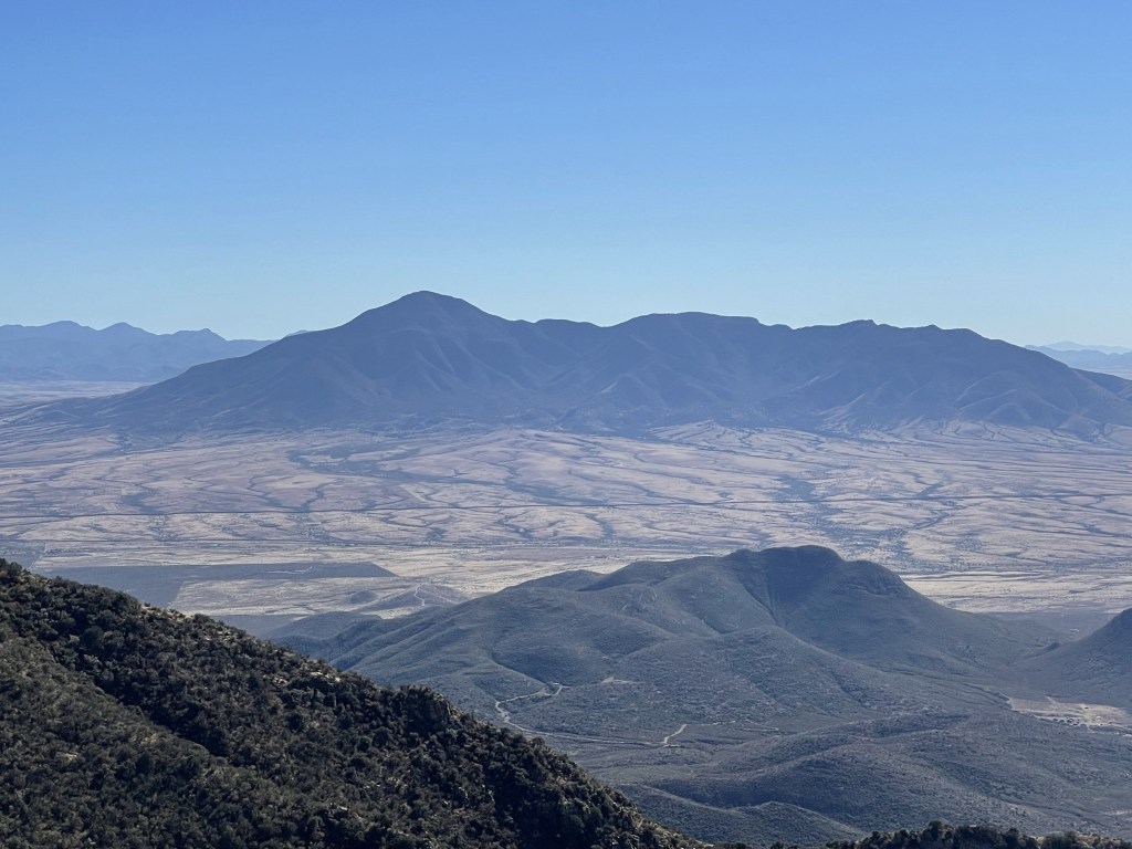
Mount Lemmon and Mica Mountain to the north:
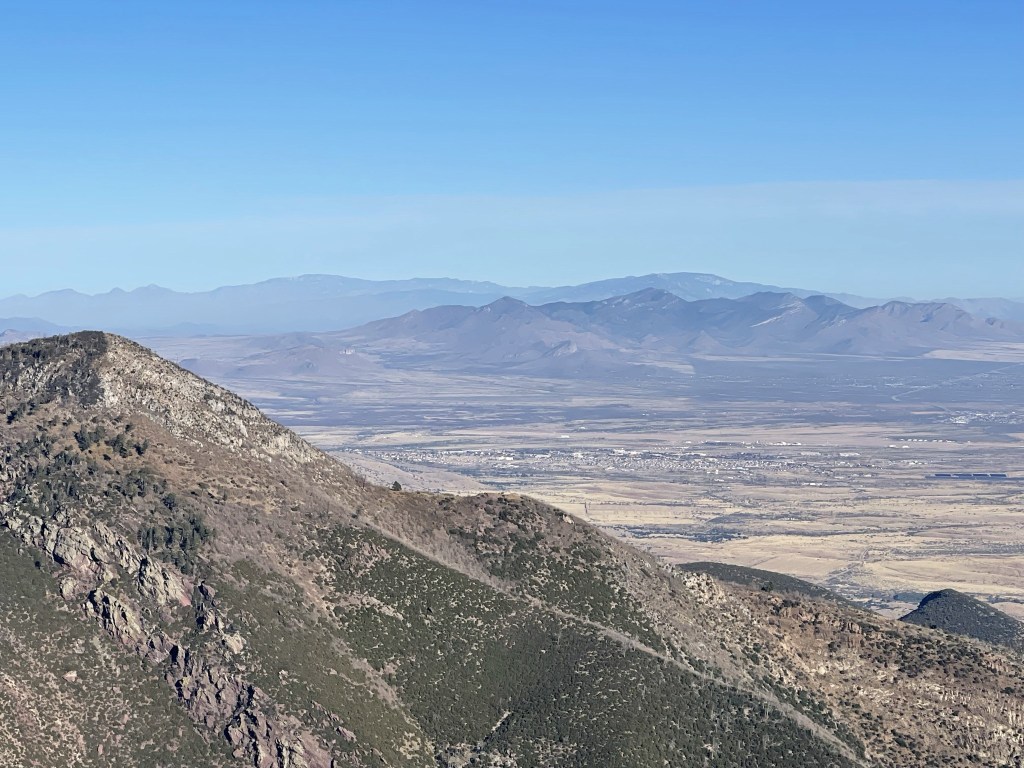
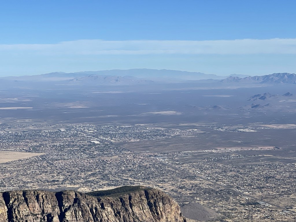
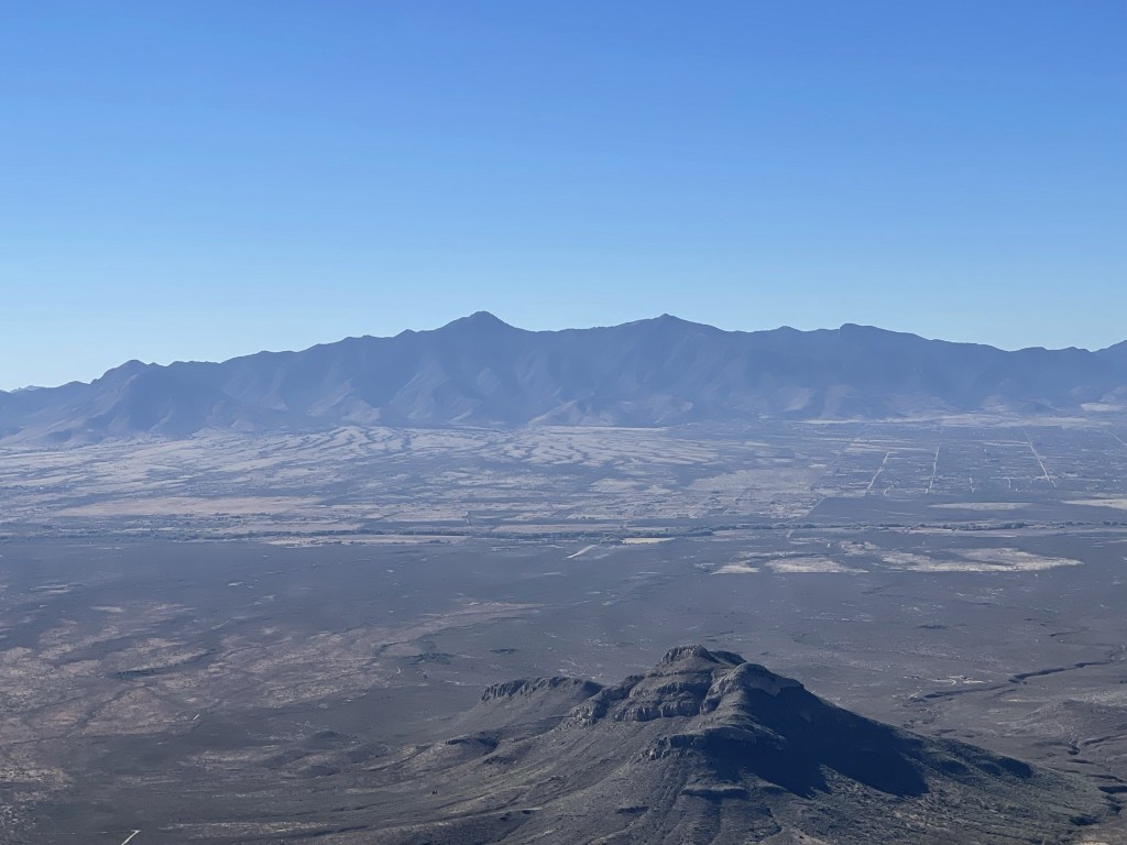
Mount Graham to the northeast with the town of Sierra Vista in the foreground:
Chiricahua Peak to the east:

Just as I was about to begin descending, I saw the 4 border crossers again. They were clearly not up there to enjoy the views as they appeared to be headed over the peak and down the other side in the direction of Sierra Vista. I offered them water which the younger boy and girl accepted. The two older boys declined but all four thanked me profusely. The little girl even blew me a kiss. I thought about them a lot during the rest of the hike. I really hoped they made it to wherever they were going. Thankfully they appeared to be in good condition and didn’t seem lost or dehydrated (I would have called 911 otherwise). They must have crossed the border overnight and were trying to get to Sierra Vista before they ran out of daylight where hopefully someone would meet them. Anyway, I made my descent back towards the Crest Trail.

I reached the Crest Trail again at 5.4 miles. From there I retraced my steps south back to Montezuma Pass.
I saw a few more deer on the return hike.
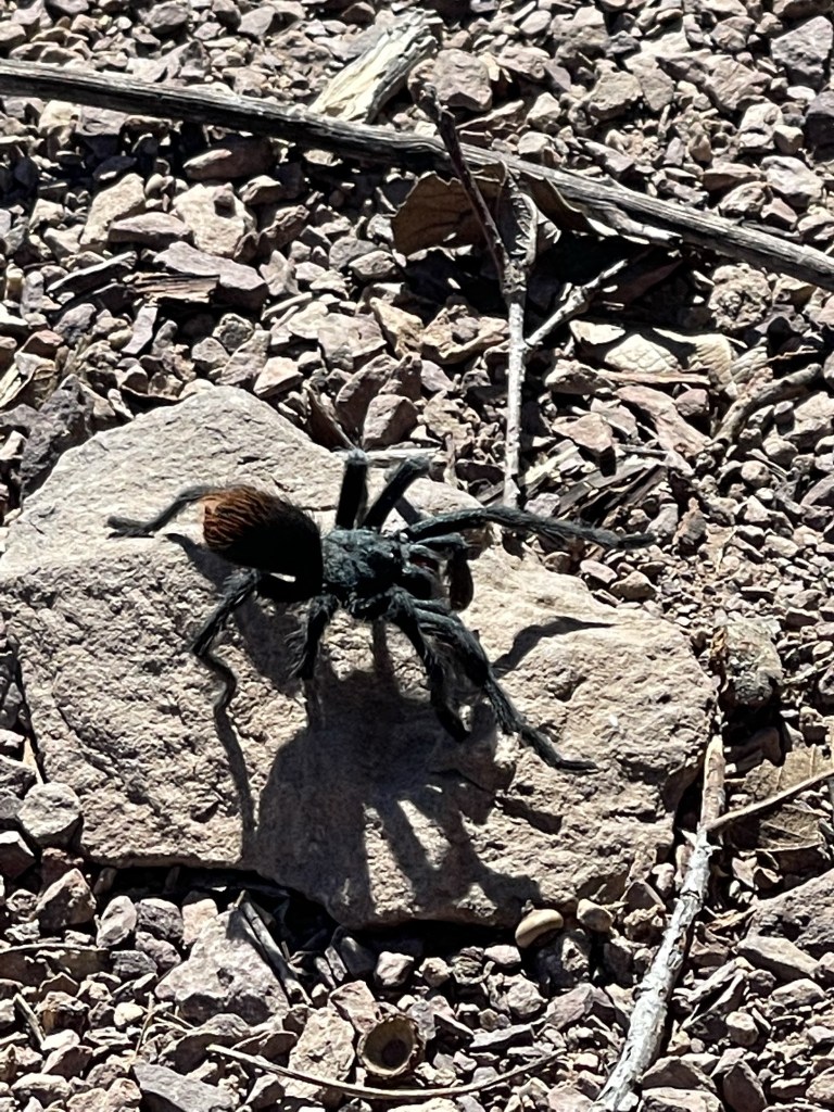
I also nearly stepped on a tarantula!
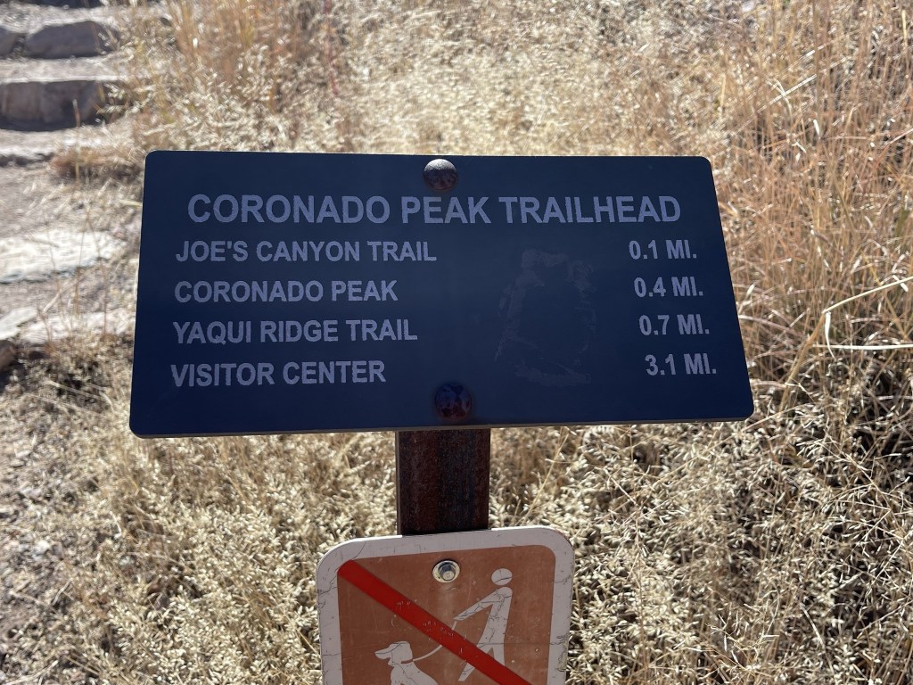
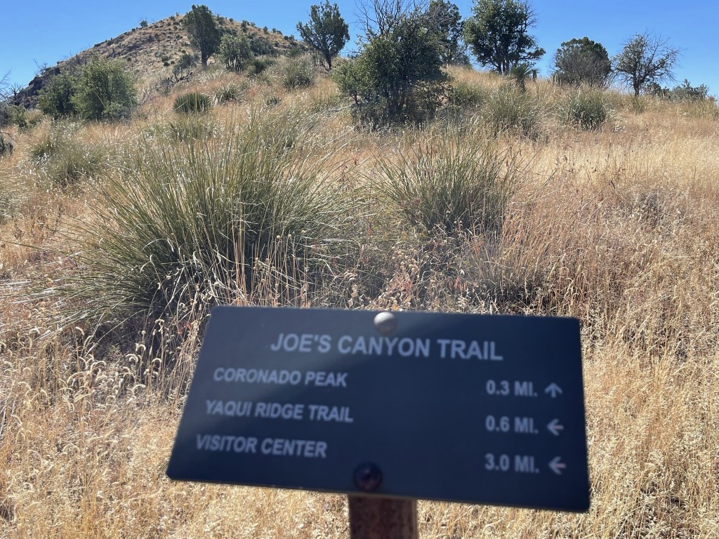
I passed a hiker near the trailhead who had started his hike from the visitor center and had taken the Joe’s Canyon Trail to the Pass. He was only planning to hike to the park boundary about 2 miles up before turning around. I reached the parking lot once more at 10 miles. I decided to add on a quick bonus peak called Coronado Peak, a small 6864 foot peak located less than a half mile to the south.
The well maintained trail had stone steps built into it.

At 10.1 miles I reached a trail junction and went right towards the peak. The Yaqui Ridge Trail goes to the border in just a few miles where the southern terminus of the Arizona Trail is located. The Arizona Trail is a long distance trail that goes from the state’s southern border with Mexico to the northern border with Utah.
I made my way south up the trail. There were many interpretive signs along the way, most of them discussing the 1540 expedition of Francisco Vazquez de Coronado, for whom the park was named after.

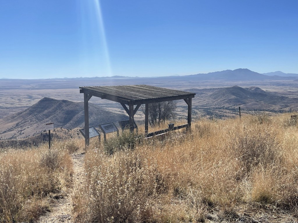
I reached the summit at 11:13am at 10.4 miles. There was a small shelter located on top. I found a register which was pretty full, but I managed to sign my name on a blank space towards the back.
Miller Peak looked impressive to the north.

The border fence was plainly visible. Cerro San Jose is the peak on the right.
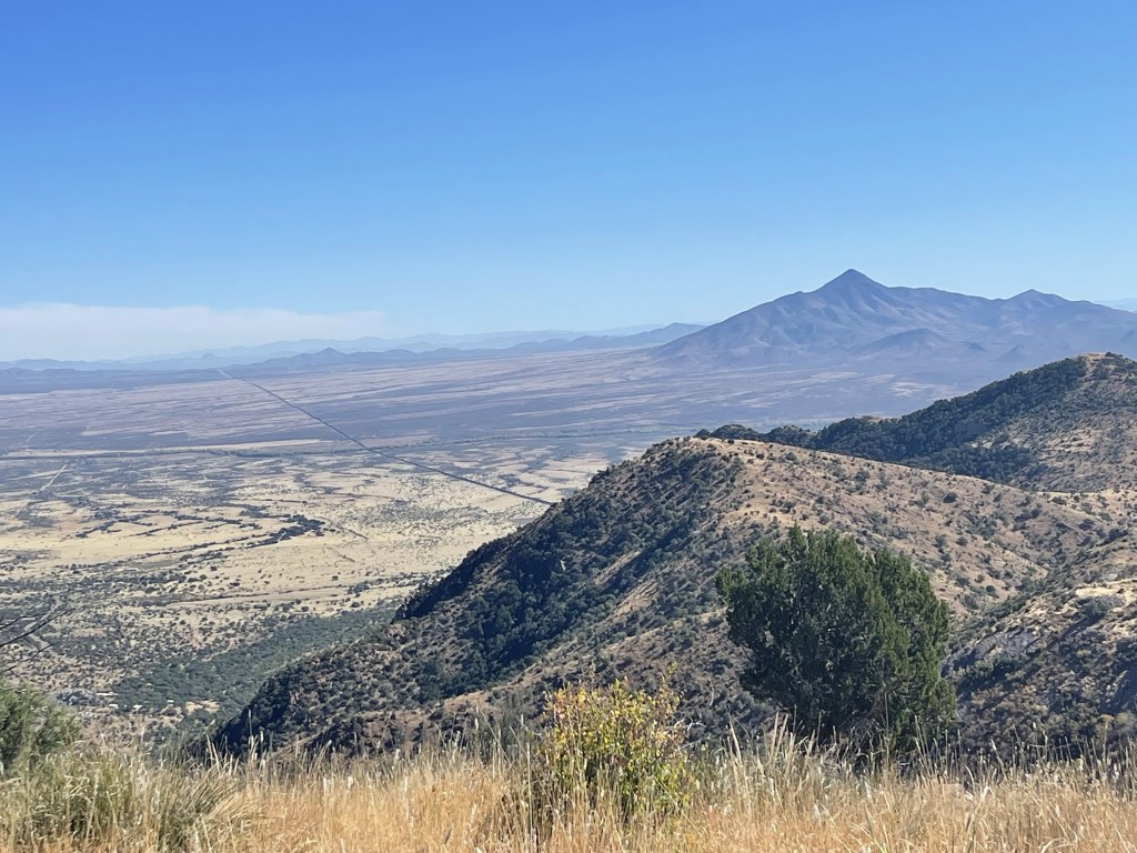
I enjoyed the view south into Mexico.
I retraced my steps back to the parking lot and reached the car again at 11:34am. This hike totaled 10.98 miles, 3310 feet elevation gain, and 4:59:33 total time.

Fissure Peak and Mount Ballard
I still had the whole afternoon in front of me, so I decided to climb Fissure Peak (7375 ft) and Mount Ballard (7370 ft). The peaks were on the way to Chiricahua Peak which I planned to climb the next day, plus Fissure is a 2k prominence peak. From Highway 80, I drove north from the quaint little town of Bisbee through the Mule Pass Tunnel. I then turned right onto N Old Divide Road and drove a short way to a small parking area above the tunnel. I had a little trouble finding this trailhead, since the GPS tracks I had downloaded appeared to start from inside the tunnel. It took me a little effort to realize that there was a way to get above the tunnel. I began hiking at 12:42pm from 6036 feet above sea level. I hiked west on a wide trail for a short way before turning south onto a narrow trail that headed up to the peaks.
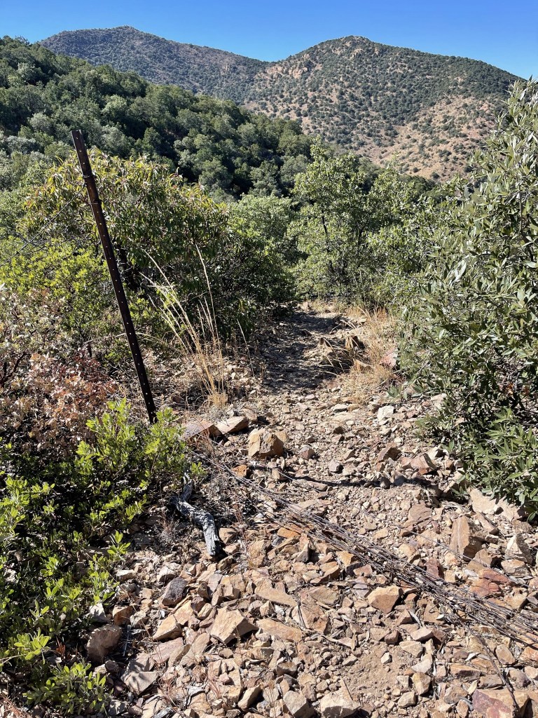
The trail was narrow and paralleled a barbed wire fence.

At 0.6 mile the trail crossed over the fence and then crossed back to the other side a short distance later.
The trail was fairly steep. There was quite a bit of cholla near the top.

I reached the summit of Mount Ballard at 1:38pm at 1.7 miles. There wasn’t much of a view due to high brush. I did find this on the summit:

Fissure Peak was a half mile northwest:
There wasn’t much of a trail between the 2 peaks. I followed the ridgeline to the saddle at 2 miles. I had dropped about 200 feet.
I had to dodge the barbed wire fence plus tons of cholla on the way to Fissure.

I reached Fissure Peak at 2:02pm at 2.2 miles! I signed the register which had been placed in 2016. The previous entry was from 10/29. The views were pretty good from the summit. I could see Cerro San Jose across the border to the south:
Miller Peak to the west:
I took a nice break and then started the hike down. This is looking back at Mount Ballard across the saddle:

At one point I slipped and landed on some cholla. I got needles stuck in my hand and my leg which were very painful to remove. I bypassed Mount Ballard as I returned down the narrow trail back to the car.

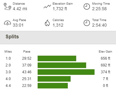
I reached the car once more at 3:37pm. This hike totaled 4.42 miles, 1732 feet elevation gain, and 2:54:40 total time.

I packed up and drove east to the Chiricahua Mountains. I spent the night at Sycamore Campground in Coronado National Forest. I was so tired from hardly sleeping the night before that I fell asleep around 7:30pm and had an excellent night of sleep.
