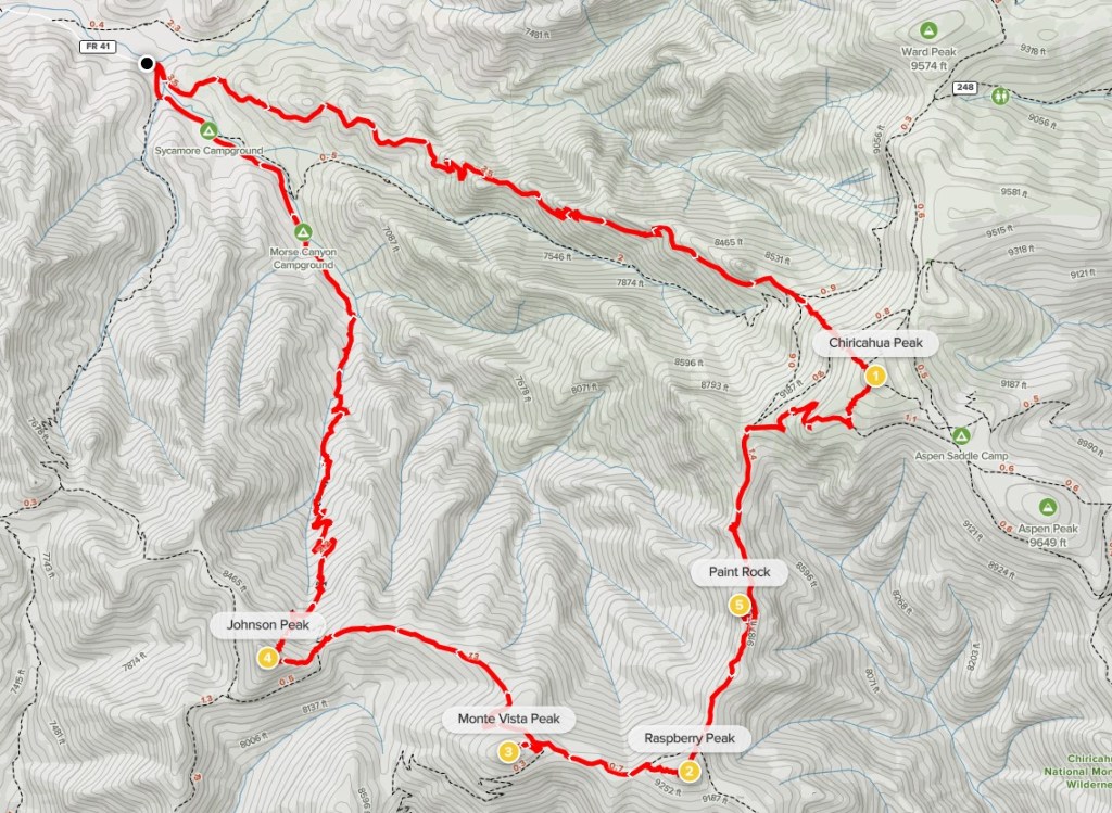
Chiricahua Peak, Paint Rock, Raspberry Peak, Monte Vista Peak, and Johnson Peak
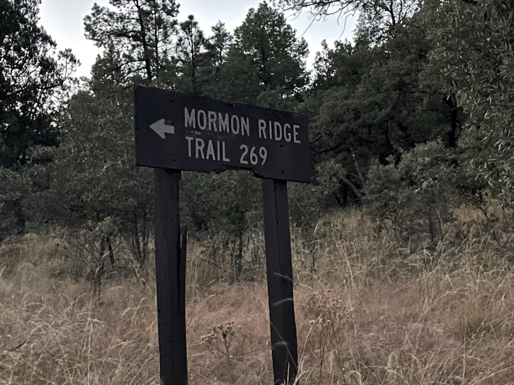
Chiricahua Peak is a 9759 foot mountain located in southeastern Arizona. With over 5000 feet of prominence, it towers over the surrounding desert. I had driven to Sycamore Campground the night before, which is located at the end of E Turkey Creek Road in the Chiricahua Mountains. The road is well graded for most of the way. It narrows and gets a little bumpy for the last couple miles but still should be okay for any vehicle. I planned to do a loop hike, starting up the Mormon Ridge Trail to the peak, and then hiking south and west along the Crest Trail tagging 4 other peaks along the way. Finally, I would descend the Morse Canyon Trail back to the road which I would hike a few miles on back to my car. I drove about a quarter mile from the campground to the Mormon Ridge Trailhead. There isn’t any parking at the trailhead, but the road is wide enough to just park on the side. I started hiking at 6:19am from 6176 feet above sea level.
I could hear turkeys gobbling as I got started. I had seen some on the drive in the night before as well.
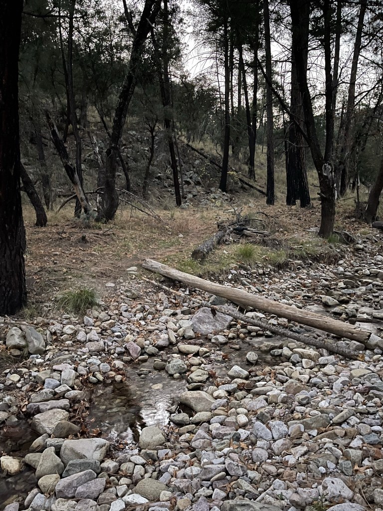
I immediately crossed over West Turkey Creek. There was a flash of light and I noticed something tied to a nearby tree. I think it was a motion activated trail camera.
I made it a short way up the trail before I realized I forgot my sunglasses. I backtracked to the car and started the hike over at 0.3 mile. I crossed the creek once more and got my picture taken again. I then headed east up the trail.
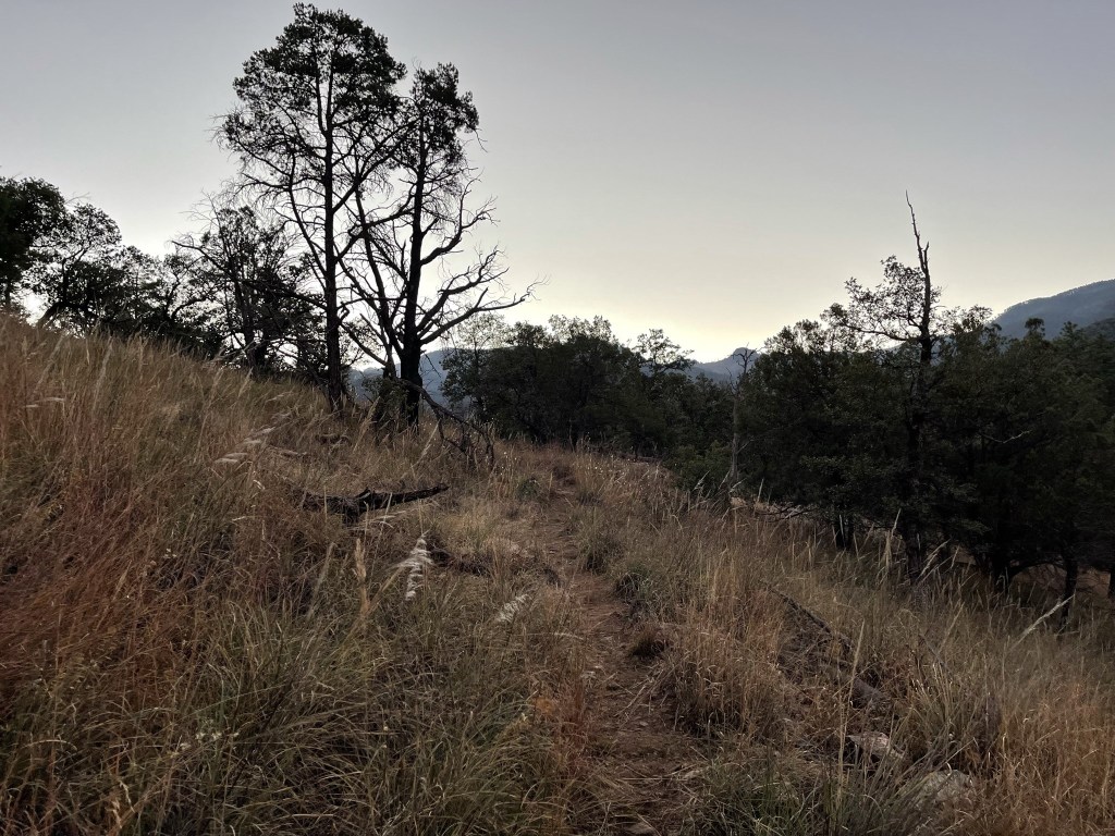
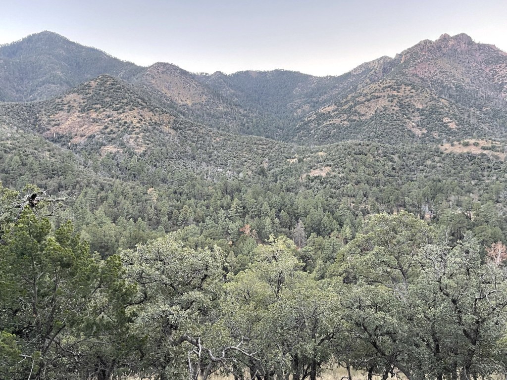
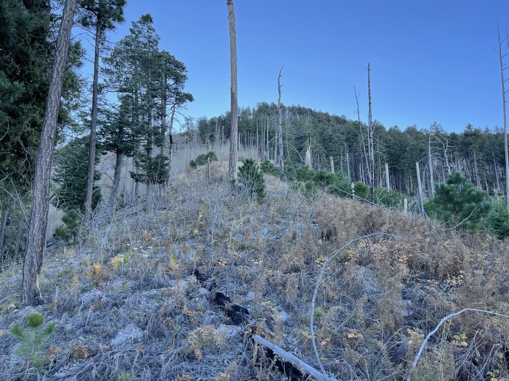
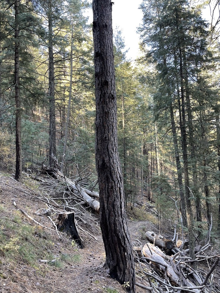
The views were nice along the ridge.
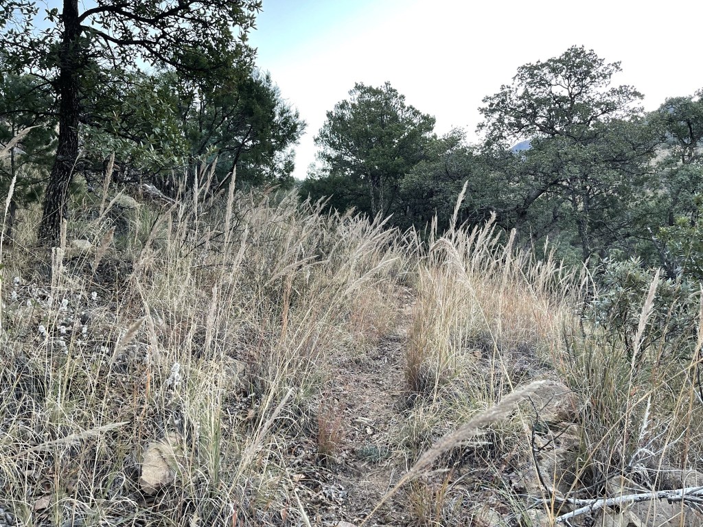
There was a lot of tall yellow grass along the trail.
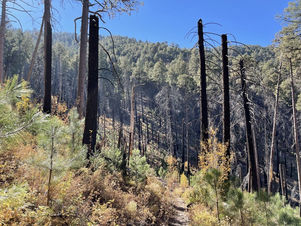
At 1.3 miles I spooked a couple of deer that ran off when I got close. At 2 miles a gigantic bird flew right across the trail in front of me and off into the distance. It was so large I thought it was a turkey at first. It was clearly a bird of prey though, so I thought it might have been a golden eagle. The trail then crossed over to the left side of the ridge where there were some pretty fall colors.

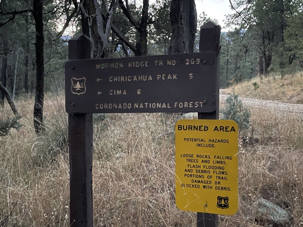
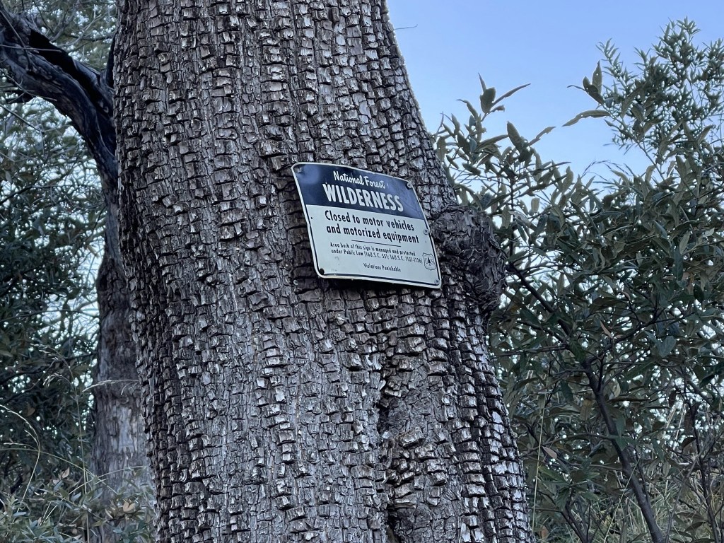
At 2.3 miles I passed a wilderness sign.
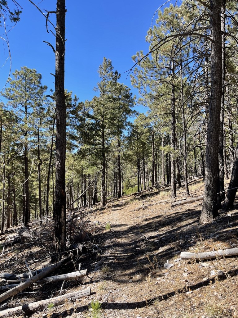
I continued east up the trail, steadily gaining elevation towards the crest.

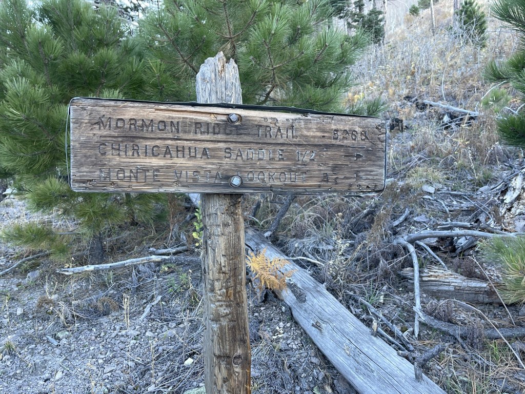
At 3.9 miles I reached Mormon Saddle at 8773 feet.
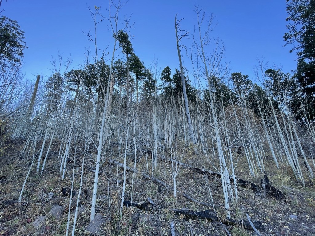
I was about 1000 feet below Chiricahua Peak at this point. I could have gone right towards Chiricahua Saddle and then taken the Crest Trail to the summit trail from there. Instead, I decided to head cross country straight up the slope in front of me.
I hiked up through a forest of aspens.
At 4.2 miles I crossed the Crest Trail but continued up the steep slope. There was a lot of deadfall to climb over.
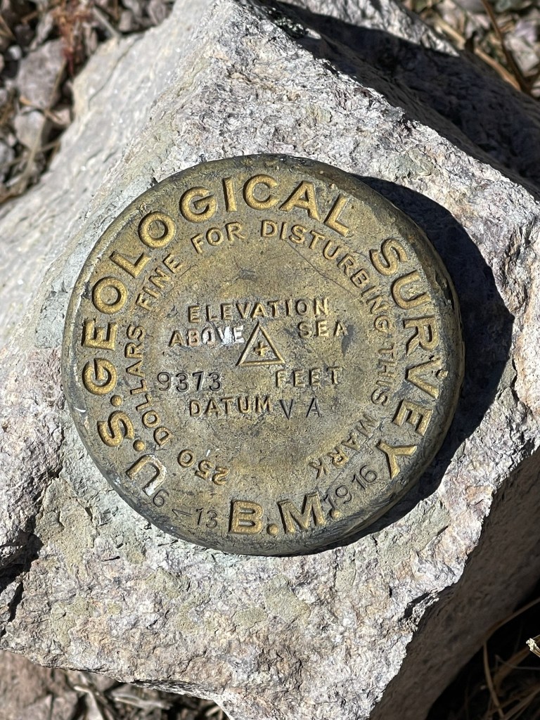
I intersected the Chiricahua Peak Trail just below the summit. I reached the top at 9:05am at 4.5 miles! There was no register, but I did locate a benchmark.

There were no views due to the flat summit and tree cover. It was probably the most disappointing view I had seen so far on an ultra-prominent peak.

After a short break I hiked down the forested slope to the south.
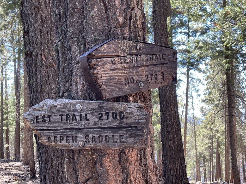
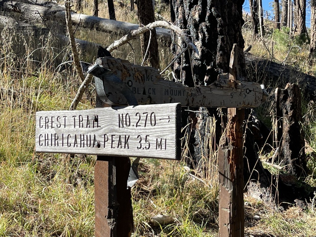
I reached the Crest Trail at 4.8 miles. I followed the trail west to Chiricahua Saddle where I went left to remain on the Crest Trail.
I could see my next objective, Paint Rock (9375 ft), pretty close in front of me.

Paint Rock was an impressive rock formation along the crest.
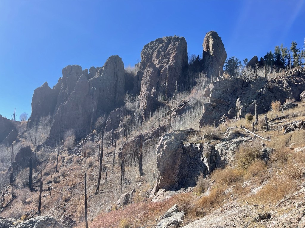
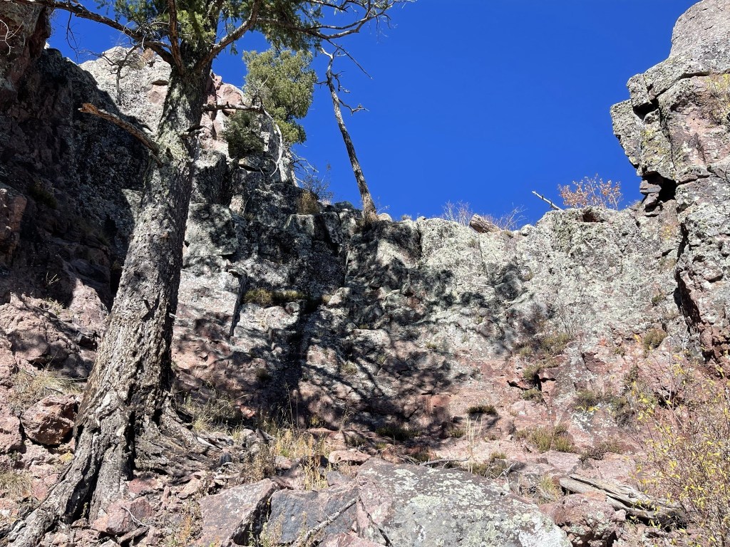
Based on previous trip reports I knew the easiest approach was from the southeast. I left the trail at 6.4 miles.

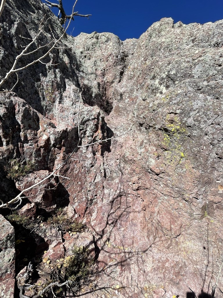
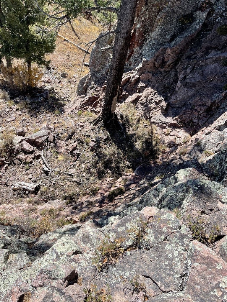
I climbed up a class 3/4 section about 15 or 20 feet high. I didn’t investigate thoroughly but this section might be avoidable by climbing either to the left or right.
I then climbed up a shorter class 3 section.
From there it was a short walk to the summit, which I reached at 10:22am at 6.5 miles!
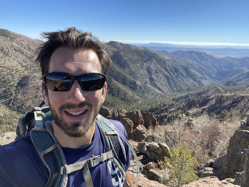
I signed the register which dated to 2018. There weren’t many entries and the most recent was from nearly a year prior on 11/18/20. This was by far the best peak of the day. The scrambling was fun, and the views were excellent. I had a good perspective of Chiricahua Peak just a mile or so north:
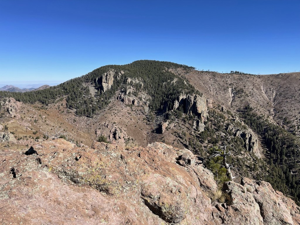
To the southeast I could see into New Mexico, including the Animas Mountains (left background).
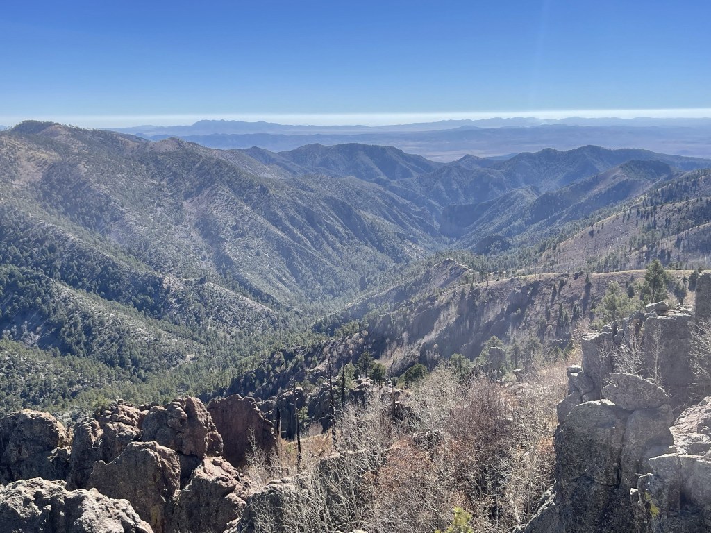
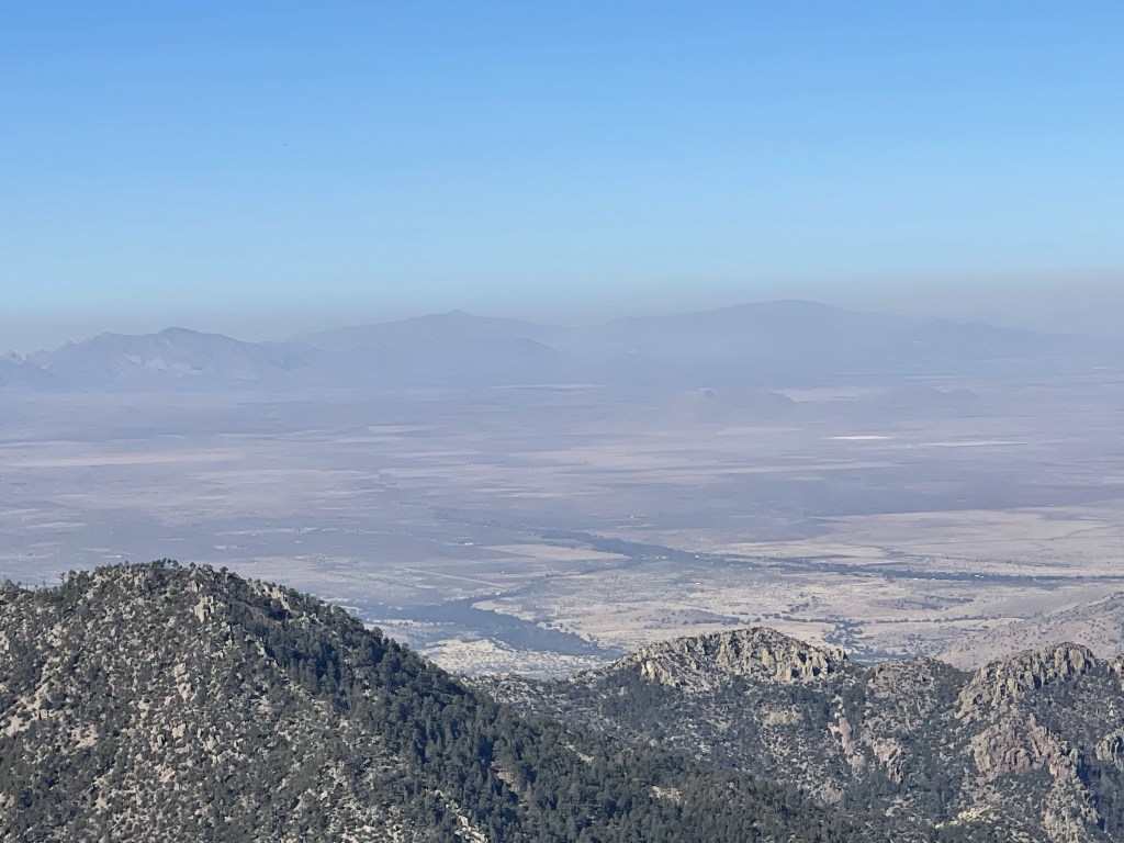
To the south I could see my next 2 objectives along the crest, Raspberry Peak and Monte Vista Peak. The peaks in the distance are in Mexico.
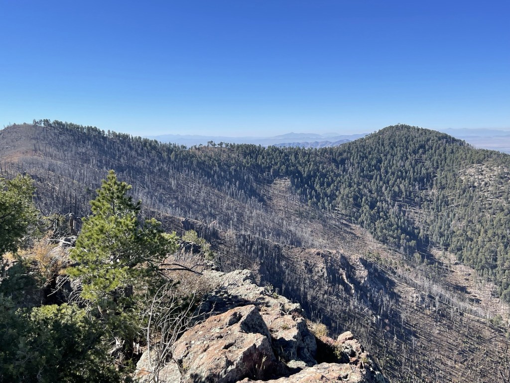
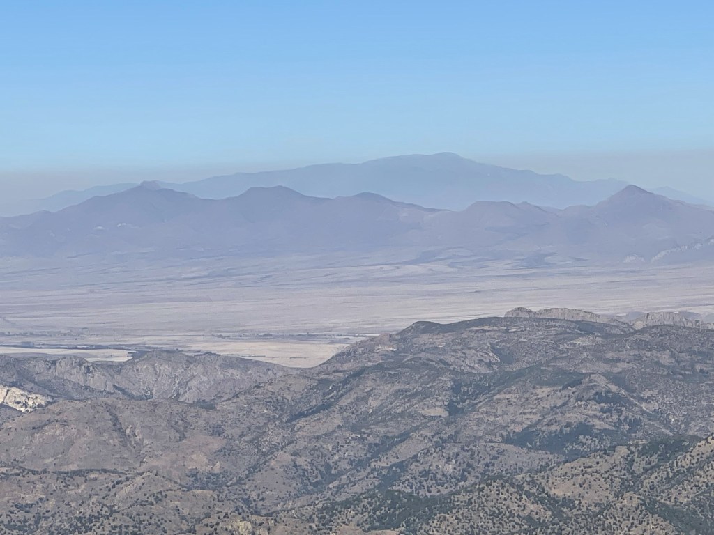
It was a bit hazy to the west, but I could still see Mica Mountain and Mount Lemmon:
And Mount Graham to the northwest:
I continued on after a nice break. I climbed carefully down the class 3 sections.
I reached the trail again at 6.7 miles. I saw a few deer at 6.9 miles.

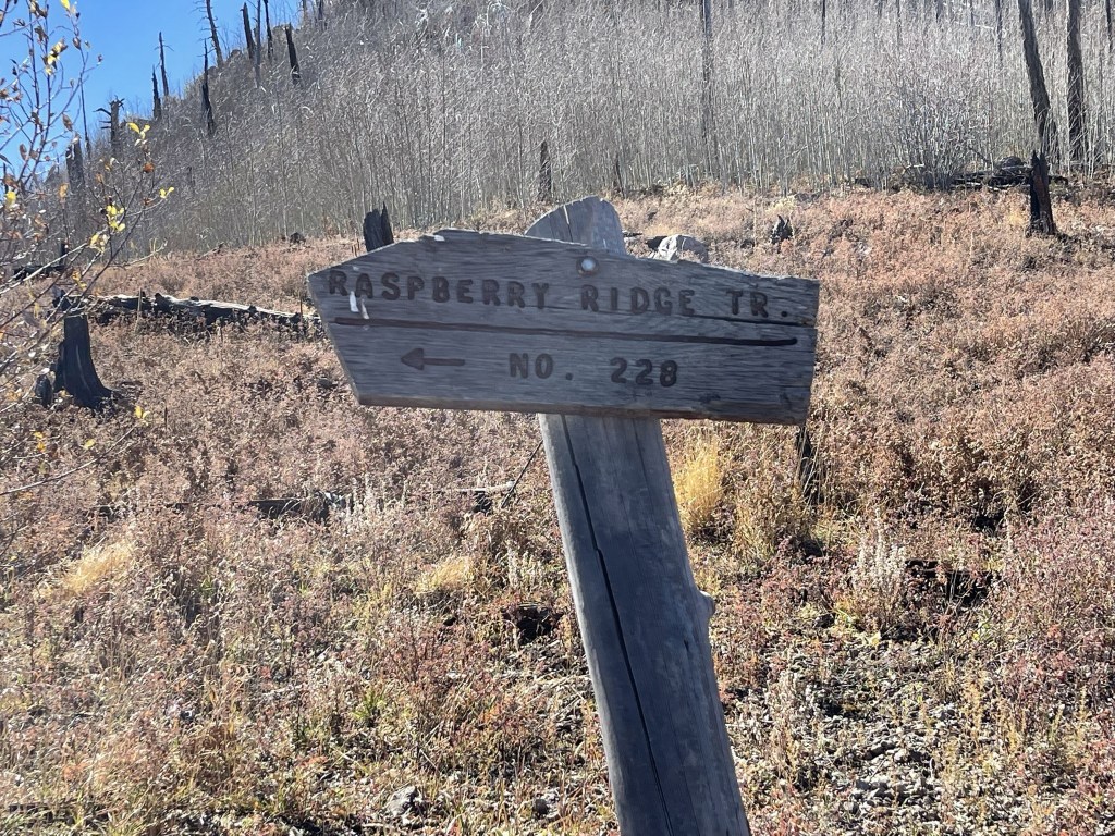
At 7.2 miles I reached a junction with the Raspberry Ridge Trail. I left the trail here to climb to Raspberry Peak (9400 ft).
I had to fight through brush to reach this peak.

I reached the summit at 11:12am at 7.4 miles. There wasn’t much of a view, but I could see Chiricahua Peak to the north.

I then hiked west back down to the trail.

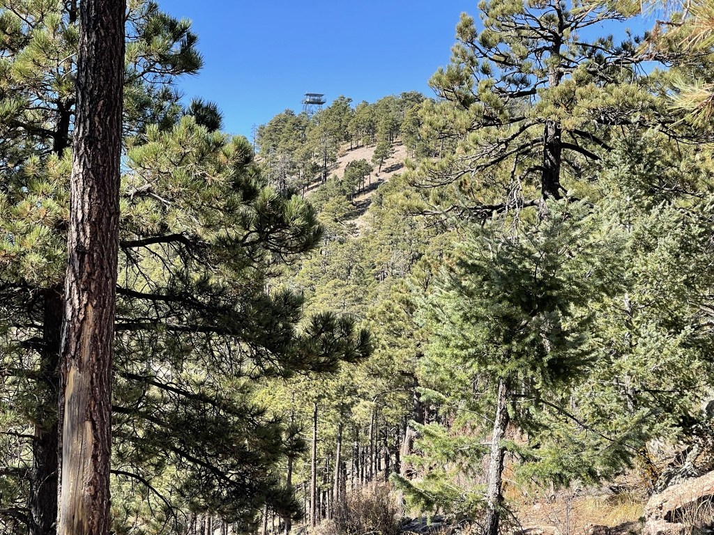
I reached the trail at 7.6 miles. My next objective was Monte Vista Peak (9375 ft), which has a fire lookout on its summit.
I reached a junction with the Monte Vista Trail at 8.1 miles.
I followed the trail for a short distance to the lookout, which I reached at 11:46am at 8.3 miles!


There were 2 other hikers on the summit, the first I had seen all day. There was no register, but I did locate a benchmark.
I then returned to the trail and continued to my final objective of the day, Johnson Peak (8890 ft).
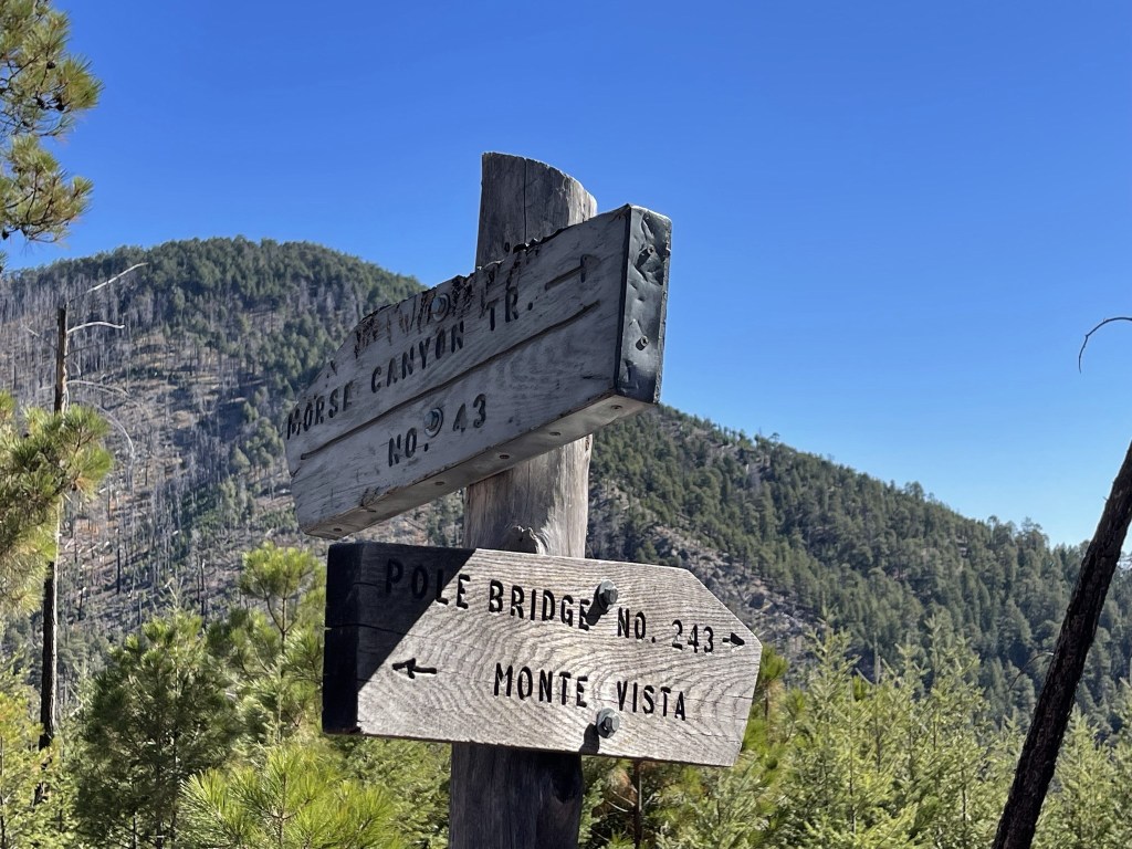
I reached a junction for the Morse Canyon Trail, which would be my descent route, at 9.8 miles. I left the trail once more to climb southwest to Johnson Peak.
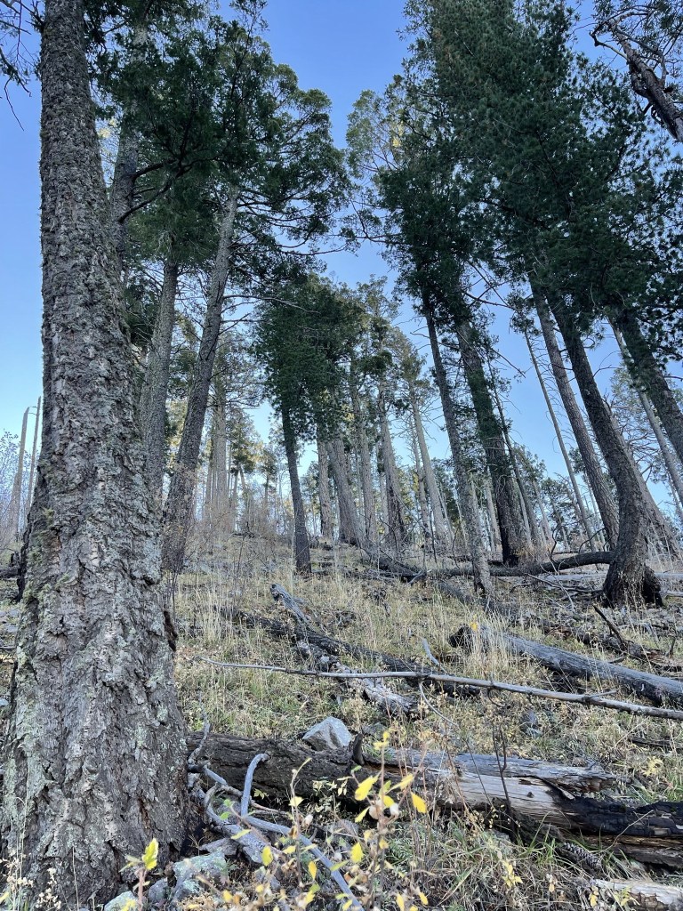
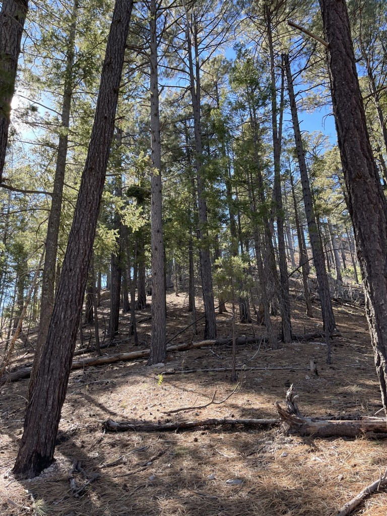
I hiked up the forested ridgeline.
The ridge bent to the west. There was a barbed wire fence along the ridge that I had to be careful to avoid.
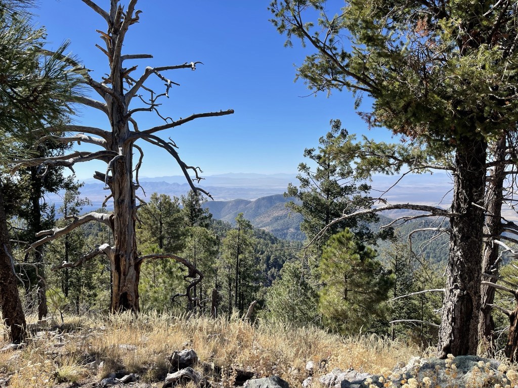
I reached the summit at 12:40pm at 10.1 miles. Views were limited due to tree cover.
I took a short break and then began the descent. I climbed down the steep slope to the north to take a more direct route back to the trail. This ended up being a mistake – the slope was so steep that I still slipped and fell a number of times.

I reached the Morse Canyon Trail at 10.4 miles.
I descended the trail as it made many switchbacks down the canyon. I passed a lady with her dog who had also been to the fire lookout on Monte Vista Peak.
I reached the Morse Canyon Trailhead at 12.5 miles.

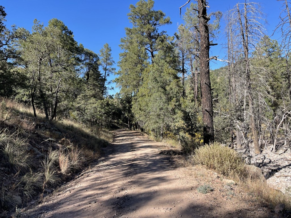
I still had a few miles to go so I hiked down the road, eventually going past Sycamore Campground where I had spent the previous night. The road was fairly busy with traffic and other campers.
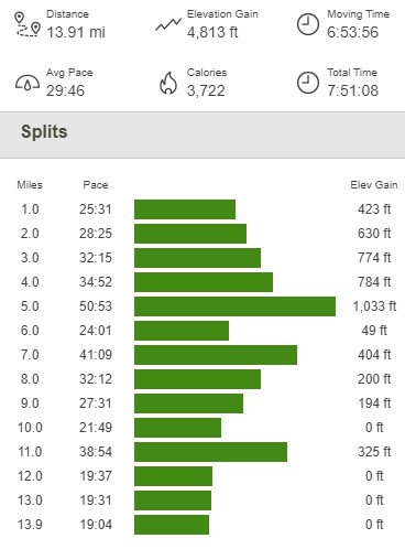
I finally reached my car at the Mormon Ridge Trailhead at 2:11pm. This hike totaled 13.91 miles, 4813 feet elevation gain, and 7:51:08 total time.
Chiricahua National Monument
I still had a couple hours of daylight left so I decided to head to nearby Chiricahua National Monument for a quick hike. I didn’t know much about the monument, but it was on the way to Mount Graham where I intended to hike the following day. It took me about 45 minutes to drive to the main entrance, which was unmanned so I was able to get in without paying. I drove a couple miles in and parked at the trailhead for the Natural Bridge Trail. This hike would be about 2 miles one way and would end at a viewpoint for an impressive natural bridge. I began this hike at 3:11pm from 5519 feet above sea level.
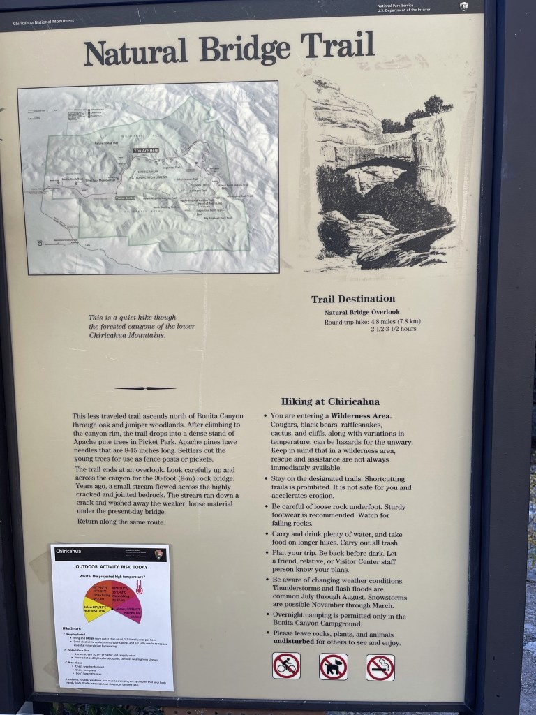
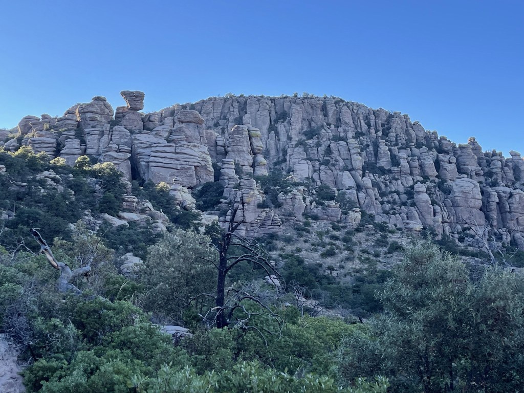
Chiricahua National Monument is known for its impressive rock formations and hoodoos, similar to certain Utah parks like Bryce Canyon and Cedar Breaks.

The trail steadily gained elevation for the first mile.

The scenery was quite impressive.

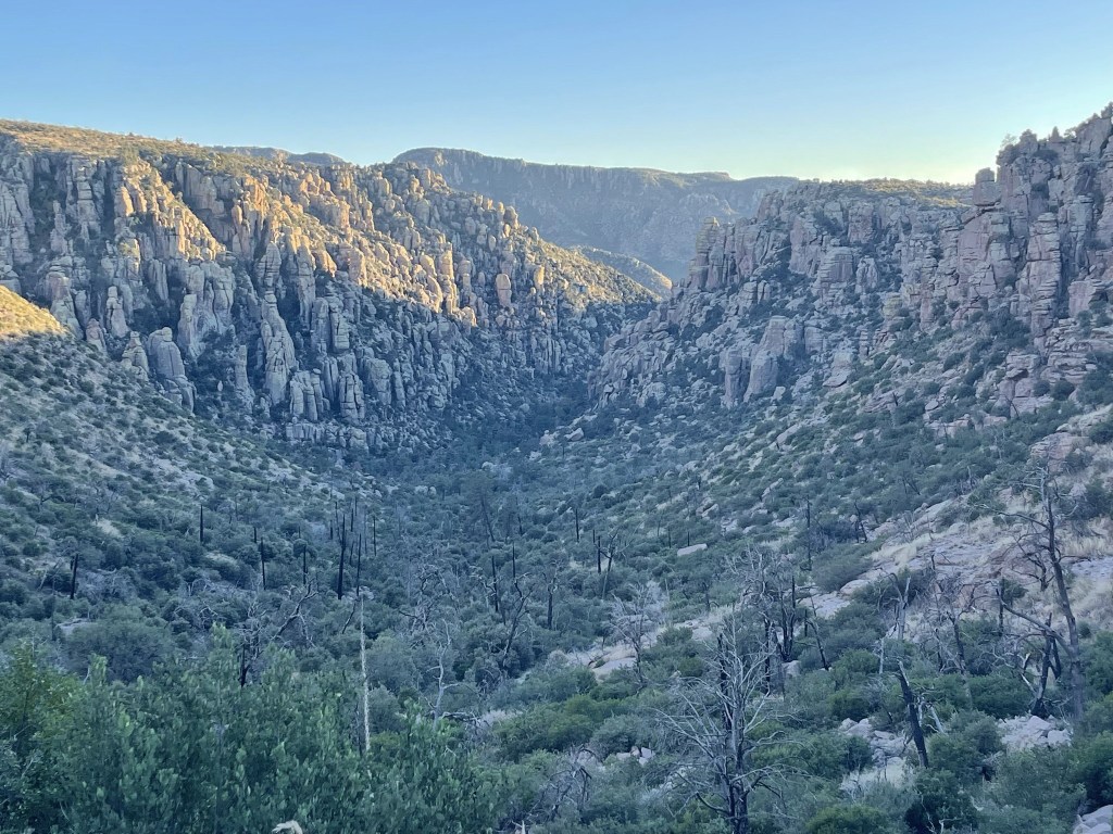
At 0.9 mile I reached the rim of the small canyon I had been hiking up. I had gained about 500 feet to this point.

The trail now headed downhill as it winded its way south and then southeast through pretty desert scenery.
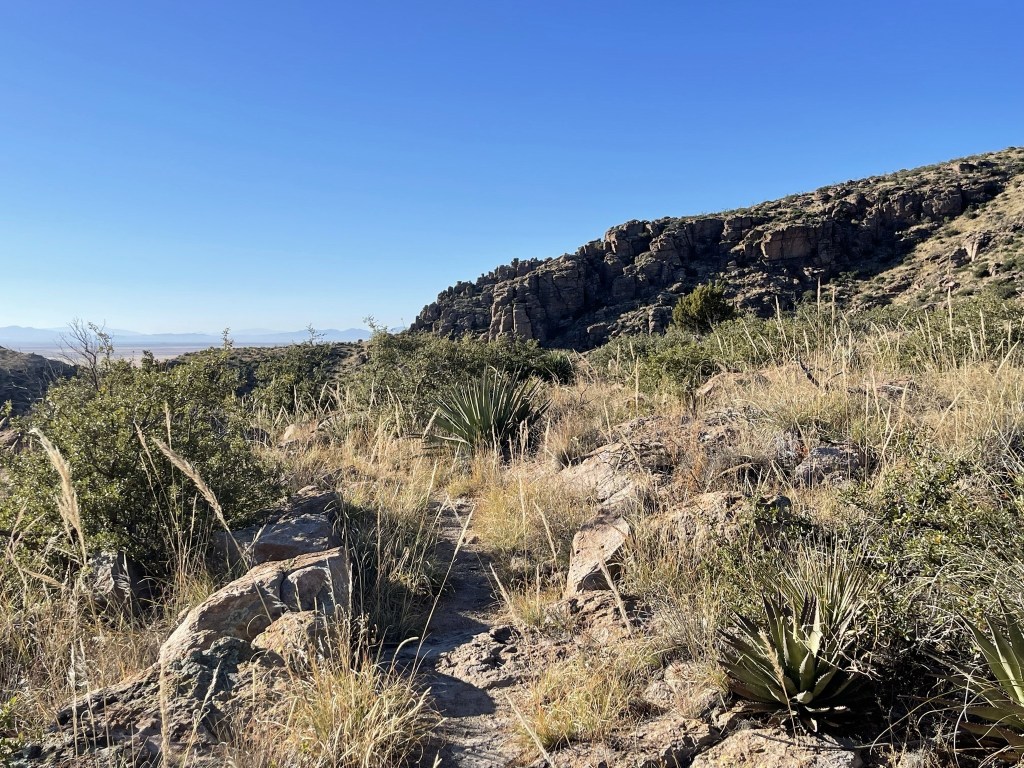
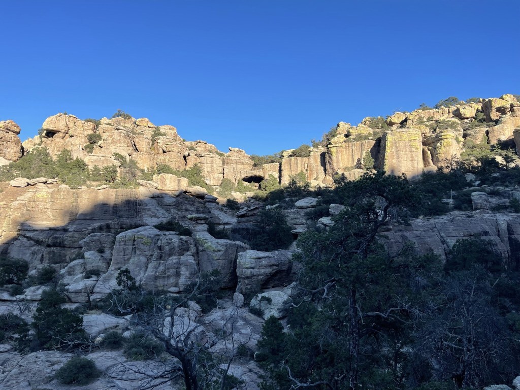
There were more impressive rock features.
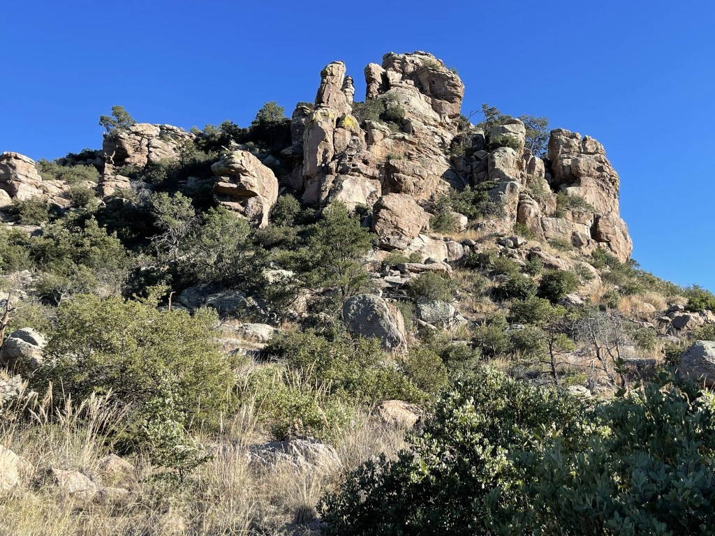
And many more hoodoos.
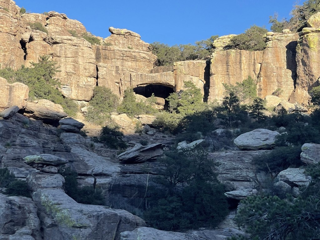
I reached the end of the trail at 2.4 miles.

I could see the bridge in the distance. Apparently, there used to be a stream running below it (otherwise it would be called an arch).
Close up:
I took a short break and then retraced my steps back to the trailhead. I decided that this little park is an underrated gem and is certainly worth a visit if you are in the area.
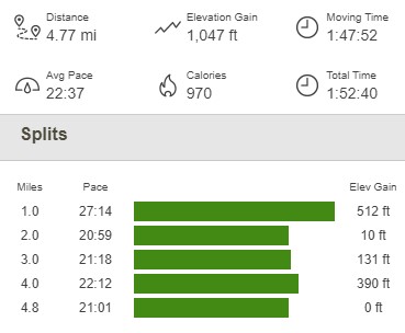
I reached the car at 5:04pm. This hike totaled 4.77 miles, 1047 feet elevation gain, and 1:52:40 total time.
I wished I had more time to explore the park, but I was out of daylight and still had a 2 hour drive to Mount Graham. I ended up staying the night at Arcadia Campground, which is located just off Highway 366 at around 6000 feet on the road to Mount Graham. I had the whole campground to myself.
