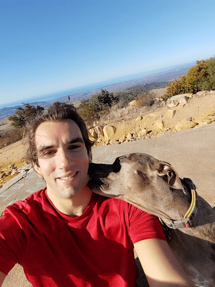
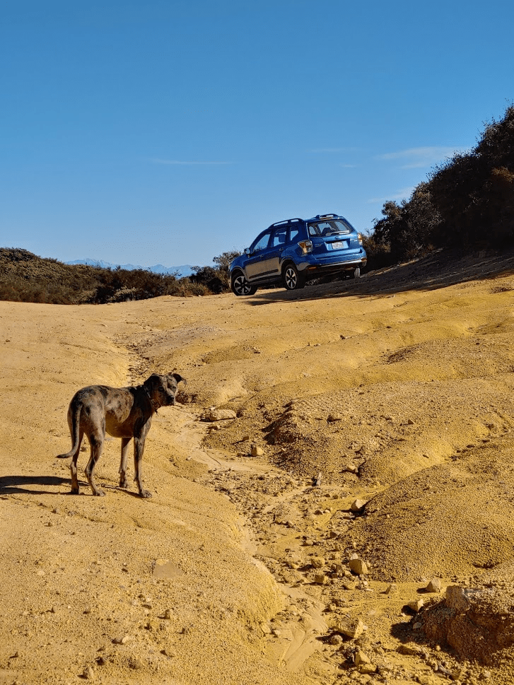
My alarm went off at 4:30am and I quickly got ready and was out the door at 5. Today my main goal would be Margarita Peak, a peak on the southern end of the Santa Ana Mountains just north of Camp Pendleton. This peak is part of the Sierra Club Lower Peaks Committee, a list of 84 peaks in southern California which are under 5000 feet of elevation. I chose this peak today since it is relatively close, and I was hoping to be back in town by 1:00pm to watch the Wisconsin Badgers game. I also brought along my dog Stella, our first adventure together in my new Subaru Forester. Stella, not typically a morning dog, excitedly got out of bed once she realized she was coming with me. I exited I-15 in Wildomar on Clinton Keith Road and continued for a few miles before turning right onto Tenaja Road. It took me about an hour and half total to reach the end of the pavement on Tenaja Road, where I turned left onto Margarita Road. This road is a little rough but probably drivable in just about any car. Nonetheless, I was much more comfortable in my new Forester than I would have been in my old Honda Accord. I parked about 2 miles from the trailhead since I wanted to add a few miles onto my hike. At 6:48am, I was ready to go and began my hike.

The sunrise to the east was impressive as I began.

The road dipped a little at the beginning and then continues fairly level for a while. Stella led the way as we made quick time for the first 2 miles.
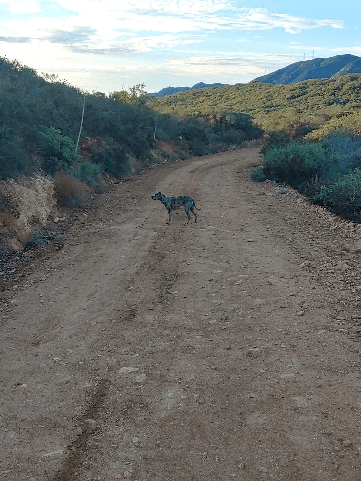
Margarita peak was fairly obvious for most of the approach.
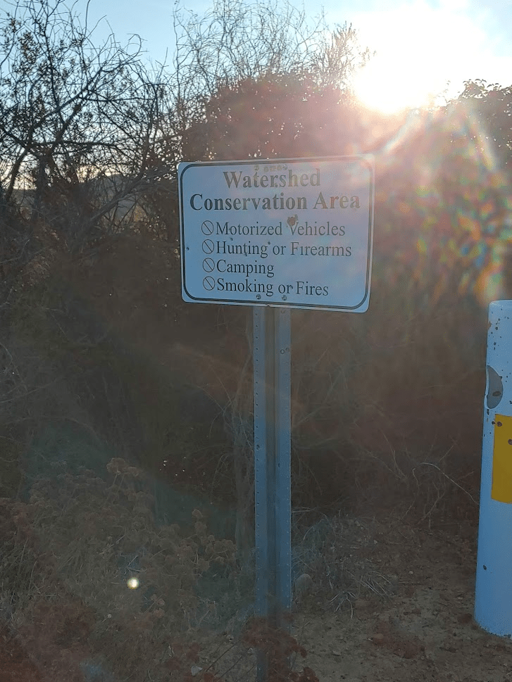
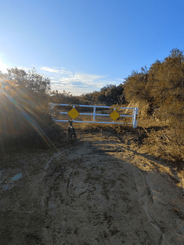
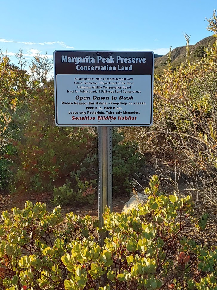
After about 2 miles, we reached the Margarita Peak trailhead. The road turns right here and goes off to the north, while the trail to the peak goes left. There is room for a few cars to park here. The trailhead is marked by a gate blocking any vehicular traffic and this sign:
Stella investigated the gate and decided to lead the way.
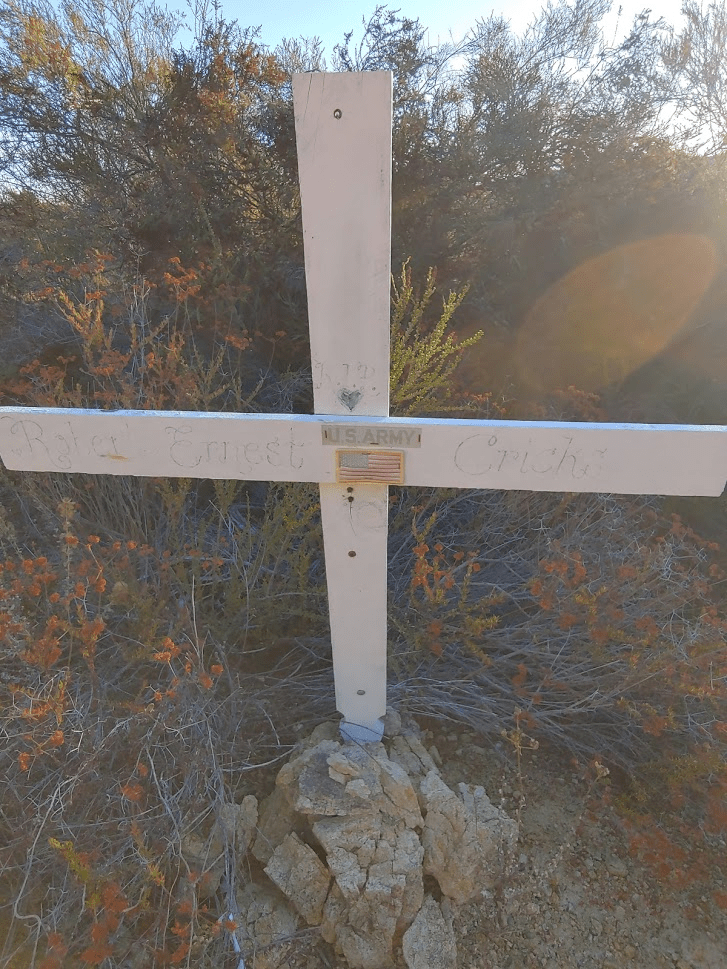
Immediately after passing through the gate, we found 2 crosses sticking out of the ground, one of which had a US Army sticker and an American flag on it.

Shortly after this, we found a sign indicating we were now in the Margarita Peak Preserve.
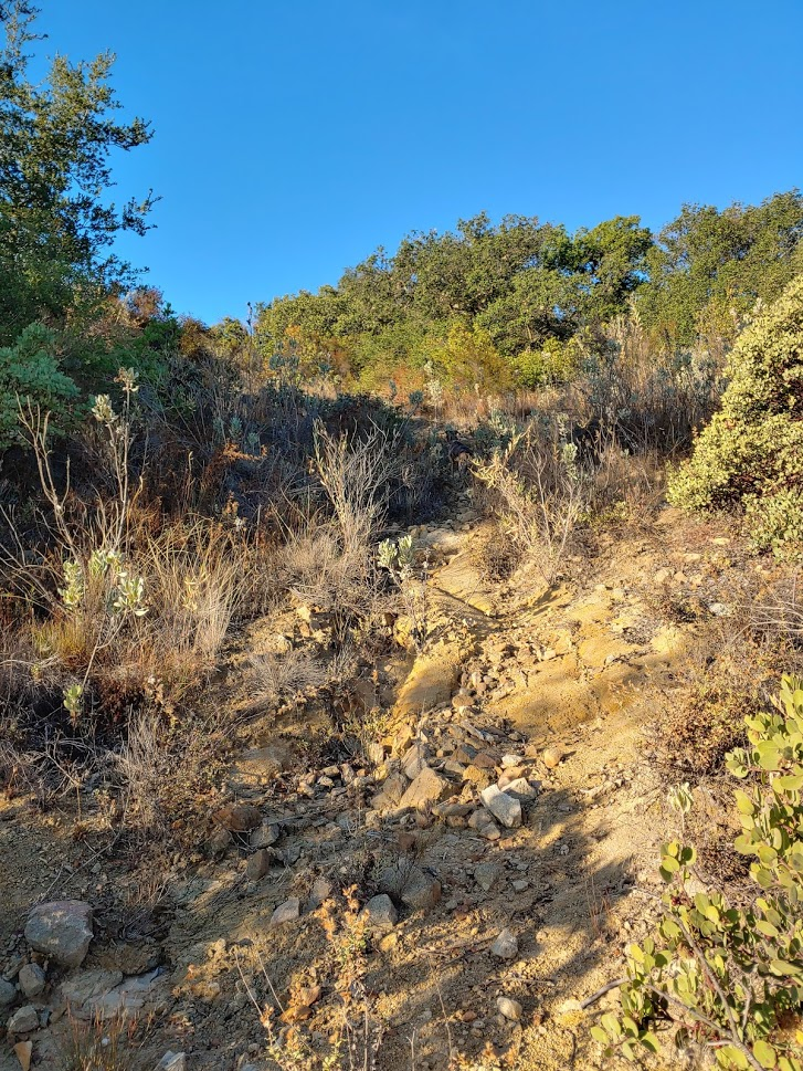
Here the unmaintained trail turns to the right and heads steeply up the eastern slope. This is a no-nonsense approach, gaining around 600 feet of elevation in about a half mile. The trail was overgrown and hard to follow in spots, but we were able to make pretty good progress up to the peak.
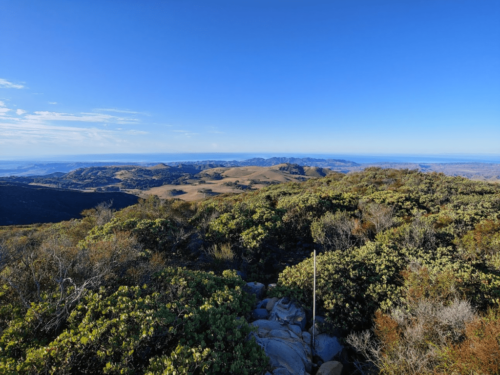
After 2.61 miles of hiking, we reached the summit at 7:45am! Elevation at the summit is 3189 feet. We did not find a benchmark or register, but there was this old survey pole sticking out of the ground.

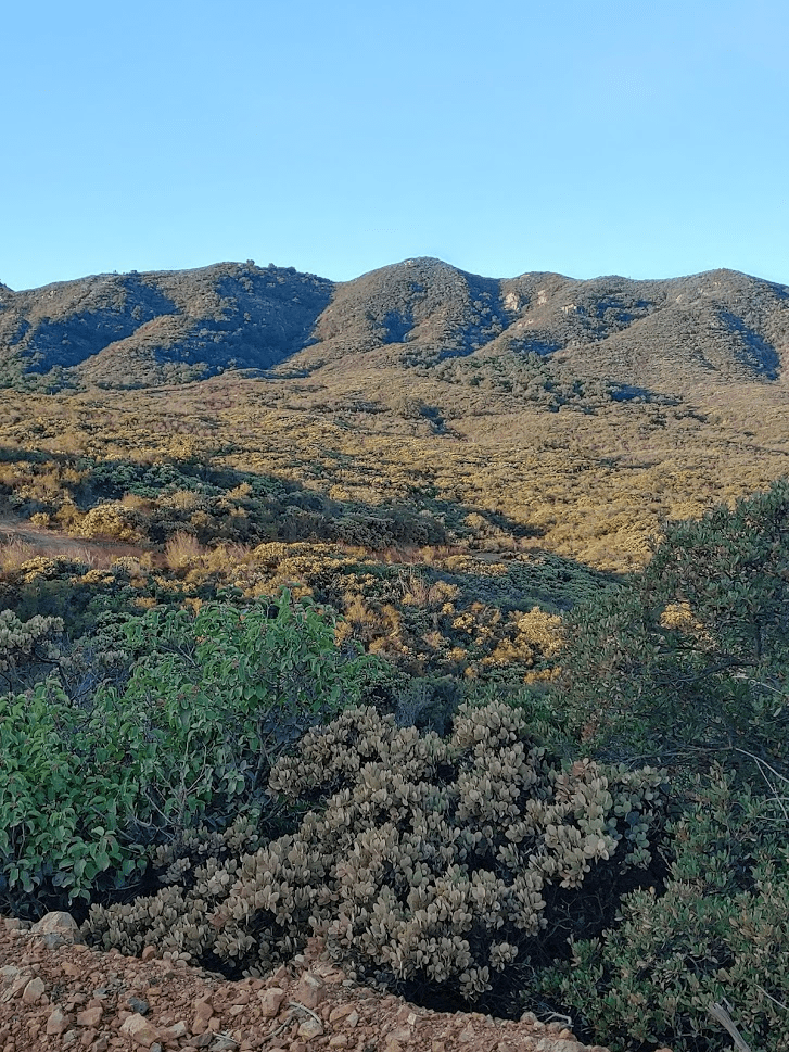
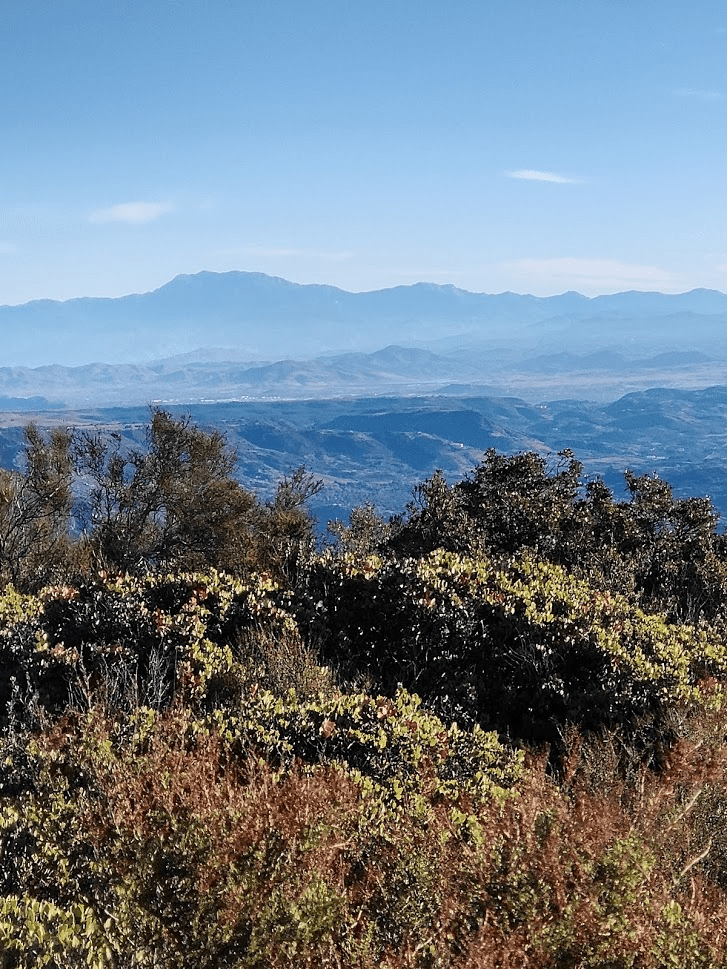
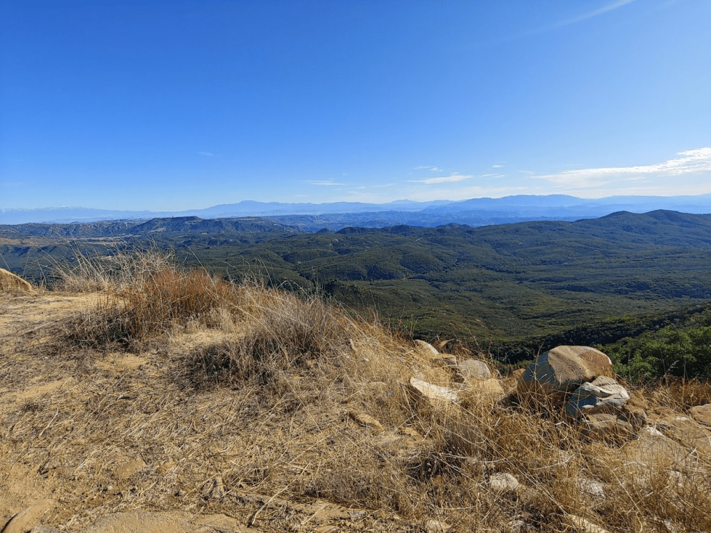
The views were amazing on such a clear day. Most of the peaks I climb are not this close to the ocean, so the views to the west were especially stunning.
To the north were the higher peaks of the Santa Anas and the even higher peaks of the San Gabriels. Santiago Peak is in the foreground and Mount Baldy is behind. We had our first winter storm in Southern California a few days prior, which had dumped a decent amount snow on the upper slopes of the higher peaks in the area.

Snow capped San Gorgonio was very prominent to the northeast.

To the east was San Jacinto. The slightly lower bump to the right of the main peak is Tahquitz, a peak I had climbed just 6 days prior.
To the southeast was Toro Peak and some of the peaks in northern San Diego County.
We took just a short 10 minute break and started heading back down again, Stella leading the way once more.

We made good time down the trail. Even where the route finding was a bit difficult, Stella seemed to know where to go. I’m guessing she could tell which way we came from based on our scent. We reached the trailhead once more back at the road. Instead of returning to the car, we decided to continue north up the road to the remains of an old lookout tower I had seen on the map. It was about 2.5 miles from the Margarita Peak trailhead to the lookout. The last few tenths of a mile the road turns into a hardcore 4WD road. It appeared undriveable to me, but I did notice some tire tracks on the way up.

At 9:02am we reached the lookout after 5.91 miles of hiking. The elevation here is 3080 feet, about 100 feet lower than Margarita Peak.
The “lookout” was nothing more than a concrete foundation and what appeared to be the remains of an old bunker. This bunker was filled with trash and there were tons of broken glass near it, so I made sure to keep Stella away. I get the feeling that this is a popular spot for certain folks to drink and party.

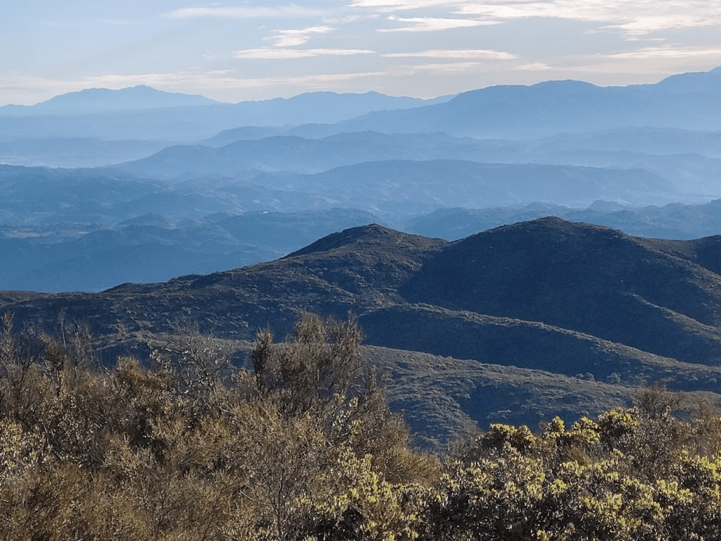
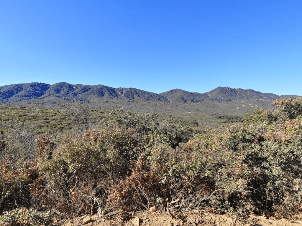
The views here were very similar, except the slightly higher Margarita Peak blocks much of the view to the south. Once more I really enjoyed the views of the ocean to the west, with Catalina Island standing out impressively.
Pictured below are San Gorgonio (left), San Jacinto (left center), Toro (right center), and Palomar (right).
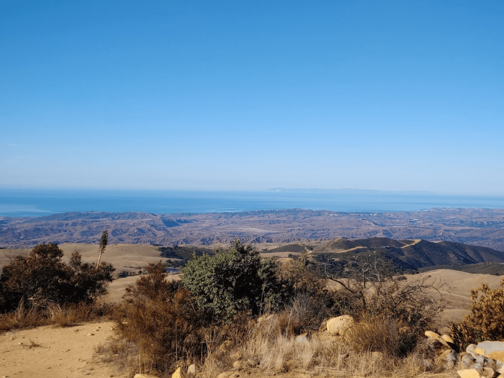
We hung out for about 15 minutes and then started back towards the car. I knew we needed to hike pretty quickly if we were going to make it back in time for the Badger game. It was about 2.5 miles back to the Margarita Peak trailhead, and then another 2 miles to the car. On my way back I began to see some other people out and about finally. I passed a group of 5 mountain bikers, and then a couple pulled off to the side of the road in their SUV. As I neared my car, I looked back one last time and took this picture which shows the 2 destinations pretty well. Margarita Peak is the bump which appears the highest on the left. The lookout is on the middle bump in the cluster of 3 bumps to the far right. The road is also clearly visible running across the base of the small range.
We reached the car just after 10:15am. It was the perfect distance for Stella, as she just started to look tired about a quarter mile from the car.
We ended up making it back in time for the Badger game, and they would beat Purdue 45-24. Total stats for the day were 10.2 miles, 1759 feet elevation gain, and 3:39:33 total time.


