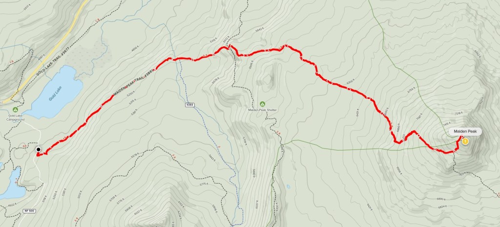
Maiden Peak
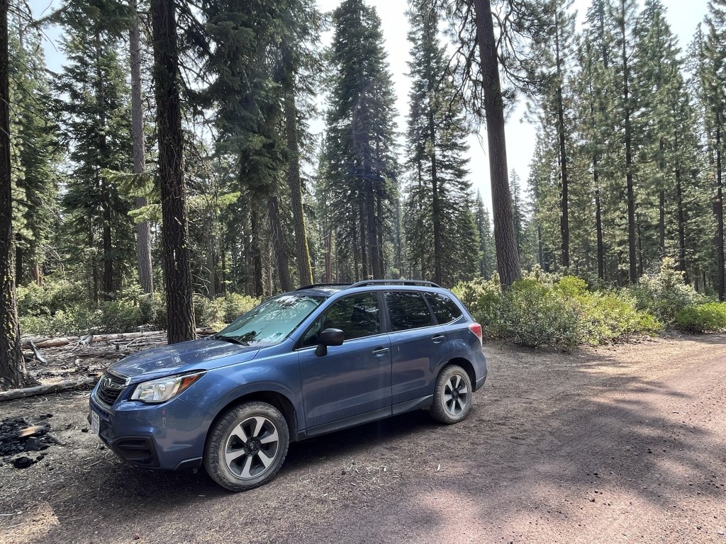
Maiden Peak is a 7818 foot shield volcano in Central Oregon. Half of the mountain is in Williamette National Forest while the other half is in Deschutes National Forest. I would be taking the western route to the summit which is primarily in Williamette National Forest. I had driven to the trailhead the night before on Forest Road NF-500. This road, which is passable for a sedan, is accessed from Highway 58 near Odell Lake. It had rained overnight and was a very chilly 50 degree morning. I began hiking at 6:43am from 4993 feet above sea level.

It was very cloudy and drizzly as I got started. I was concerned I would have no views on the summit.

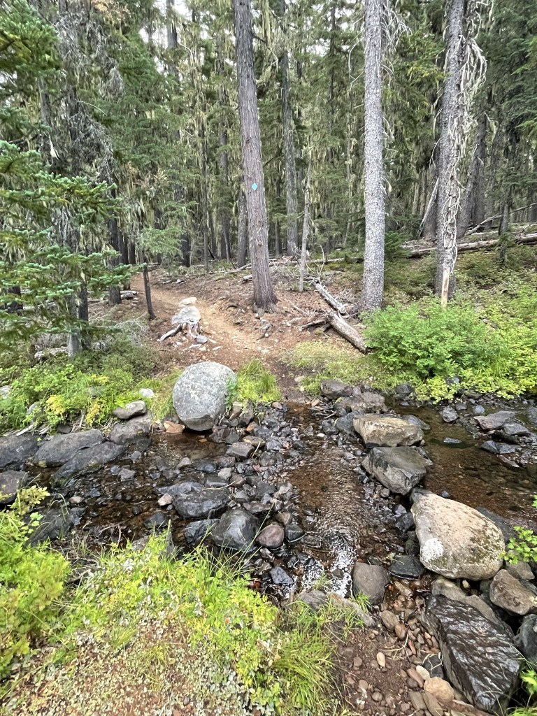
At 1.8 miles I crossed Skyline Creek.
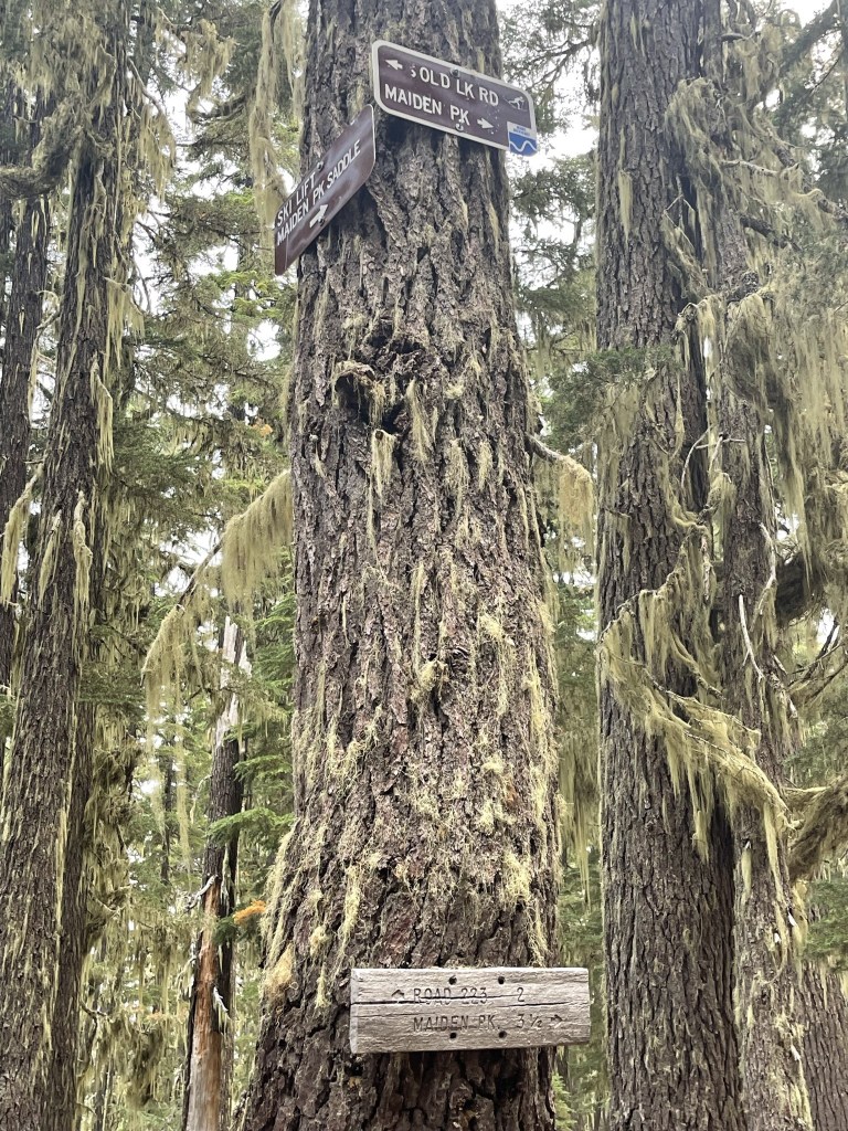
At 1.9 miles I passed a trail junction with the Skyline Bike Trail. I continued straight.
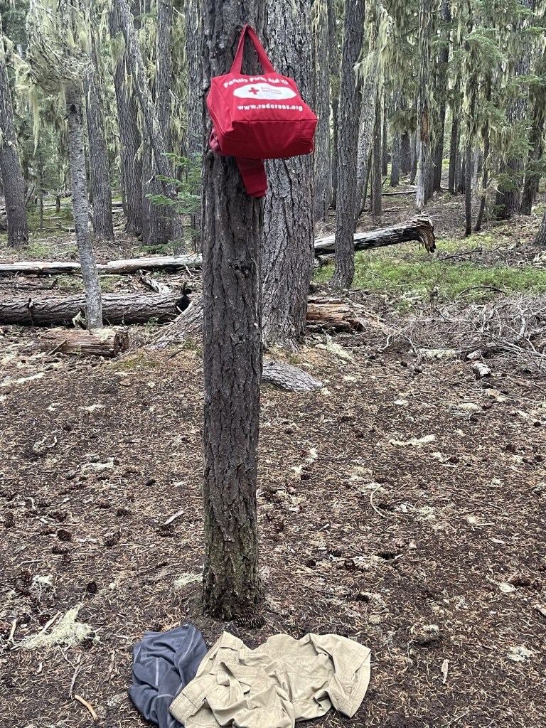
There was a first aid kit and someone’s clothes at this junction.
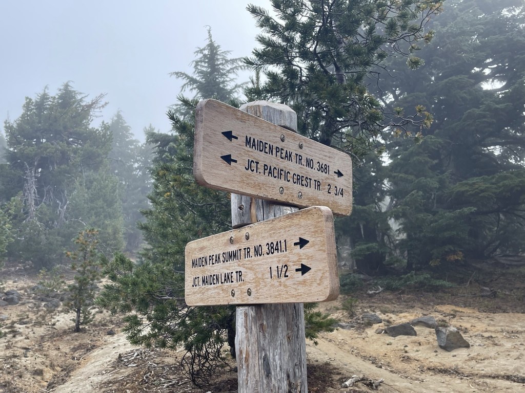
At 2.5 miles I reached a junction with the PCT. I continued straight towards Maiden Peak.

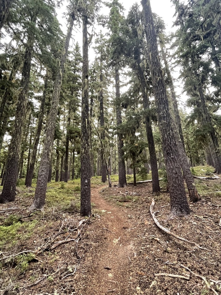
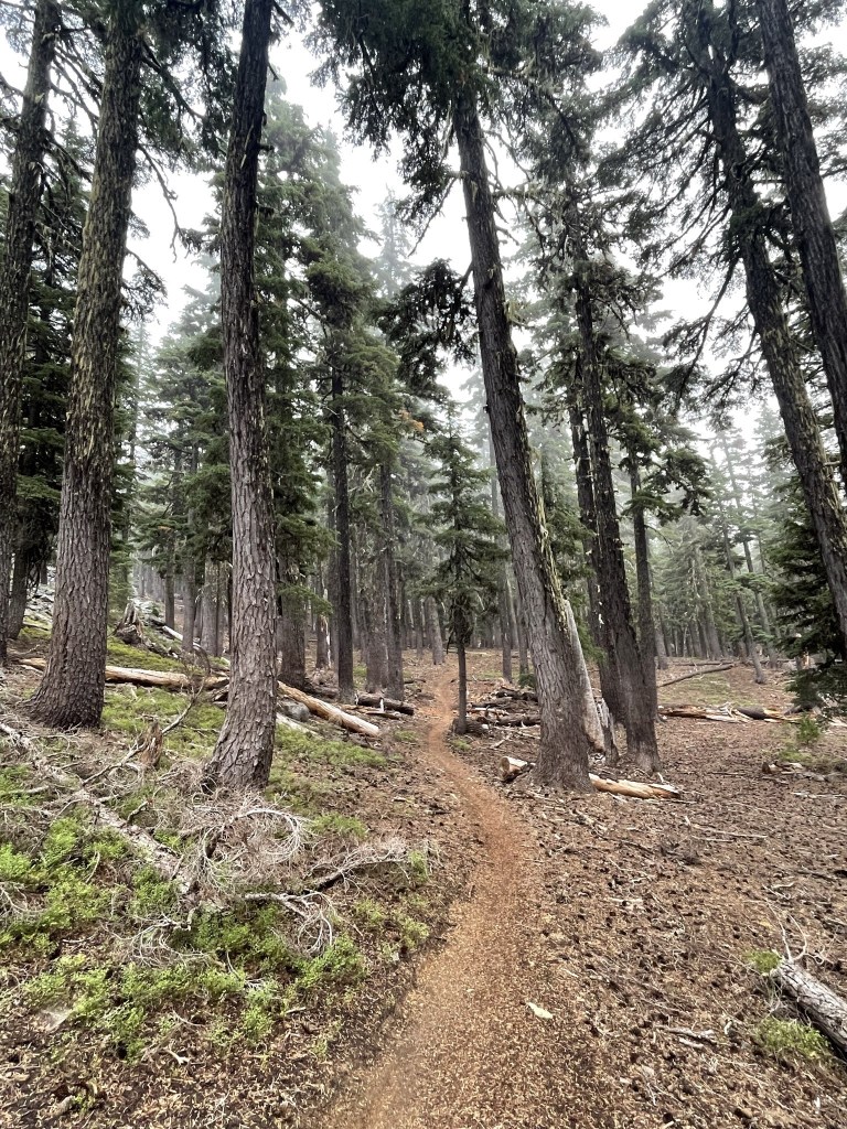
I continued gradually gaining elevation through the forest.
At 3.4 miles I passed a sign for another trail junction, but I honestly didn’t see any trail left or right.

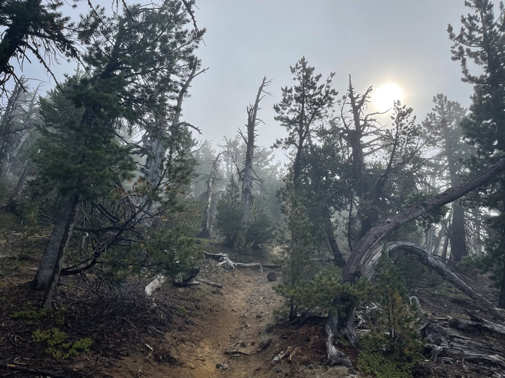
The trail got steeper as I moved forward. It was also starting to get damp and foggy as I ascended into the cloud layer.
At 5.5 miles I reached one last junction before the top. This is where the east and west side Maiden Peak trails meet up. I turned north (left) here towards the summit.
I hiked north through the fog. The sun was trying to fight through the cloud layer.
I reached the summit at 9:07am at 5.8 miles. I located reference marker #2. There was no register.

A rock pile with some old survey junk marked the summit. There apparently used to be an old fire lookout up here as well.
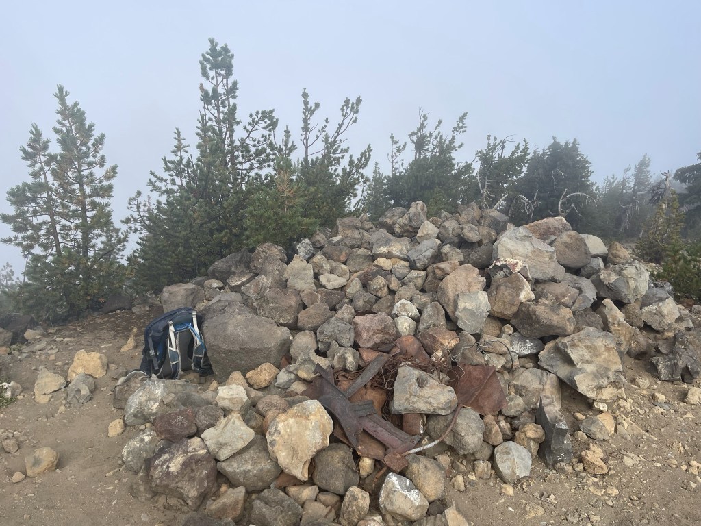
Views were nonexistent due to the dense fog.

It was windy and freezing cold on top, so I didn’t stay long. As I began my descent, I passed 2 hikers wearing shorts and T shirts. I thought they were crazy until they passed me 15 minutes later running down the mountain.

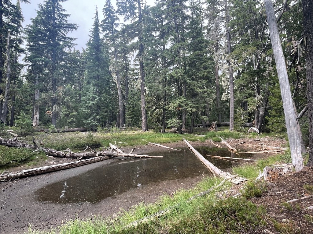
At 8.1 miles I passed a small pond I hadn’t noticed on my way up.
I saw a southbound thru hiker when I crossed the PCT at 9.2 miles. The rest of the hike was uneventful. I reached the car once more at 11:38am.

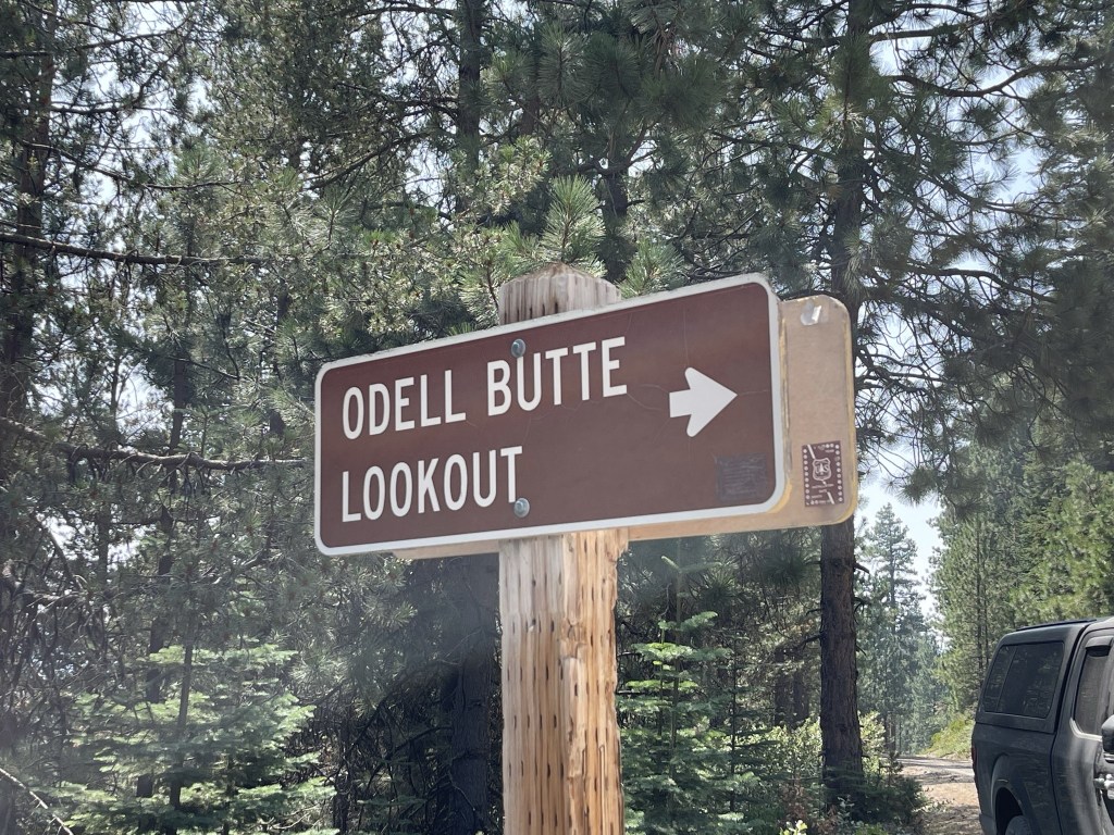
Odell Butte
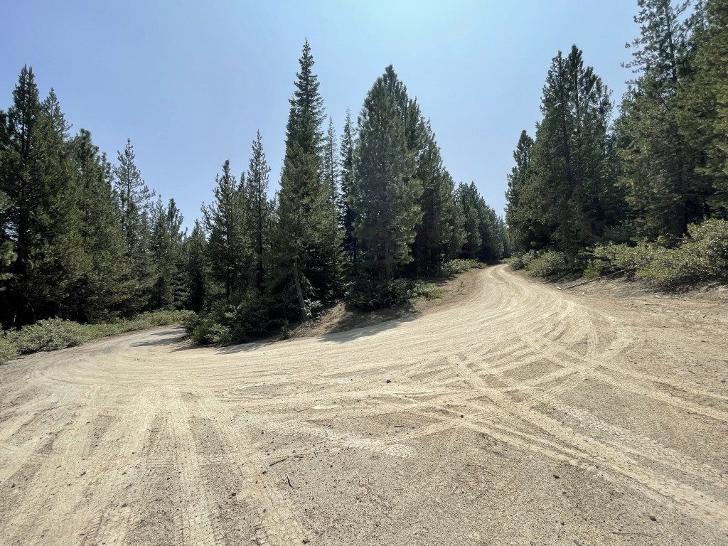
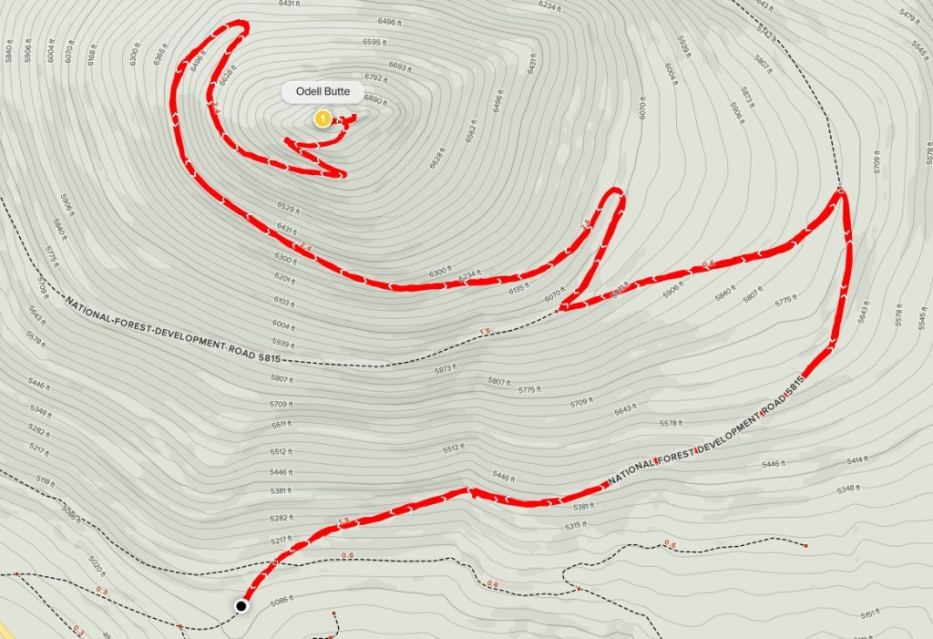
I drove back to Highway 58 and stopped in Crescent Lake Junction for a quick lunch at a deli. I drove a few more miles to Forest Road NF-5815 which goes to the summit of Odell Butte in about 5.5 miles. Odell Butte, which is located in Deschutes National Forest, is a cone shaped volcano with just over 2000 feet of prominence. The whole mountain is heavily forested and there is an active fire lookout on the summit. I drove about a half mile up the road and parked. I began this hike at 1:18pm from 5122 feet above sea level.
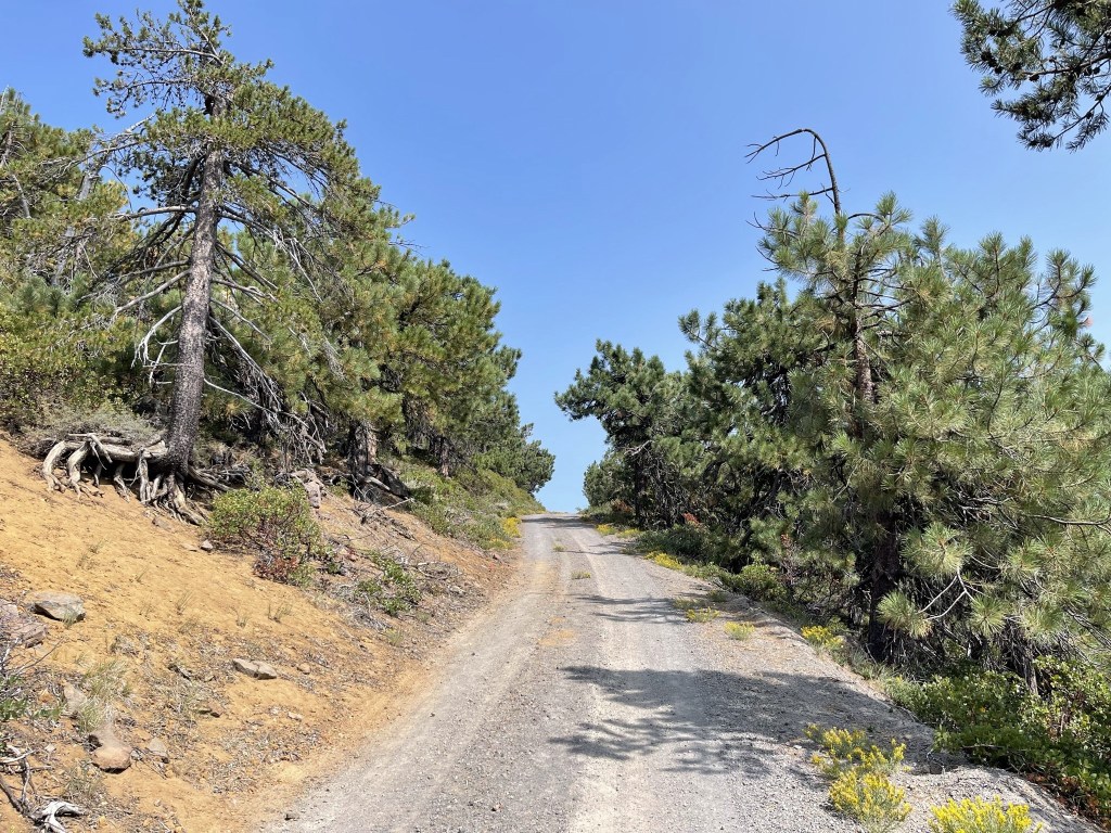
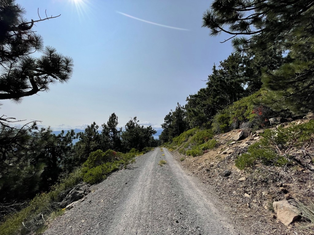
I hiked northeast up the forest road. The road was in great shape so I definitely could have driven further, but I wanted to hike.

The skies were blue which was a welcome change from the morning. At 1.7 miles I reached a hairpin turn in the road. 2 motorcycle trails continued north past this point, but I stayed on the road heading west.
At 2.3 miles I reached a T intersection and turned right. I noticed a truck parked here.
I reached another hairpin turn at 2.6 miles and curved back to the west again. I then passed 2 runners heading down the mountain (presumably the owners of the truck).

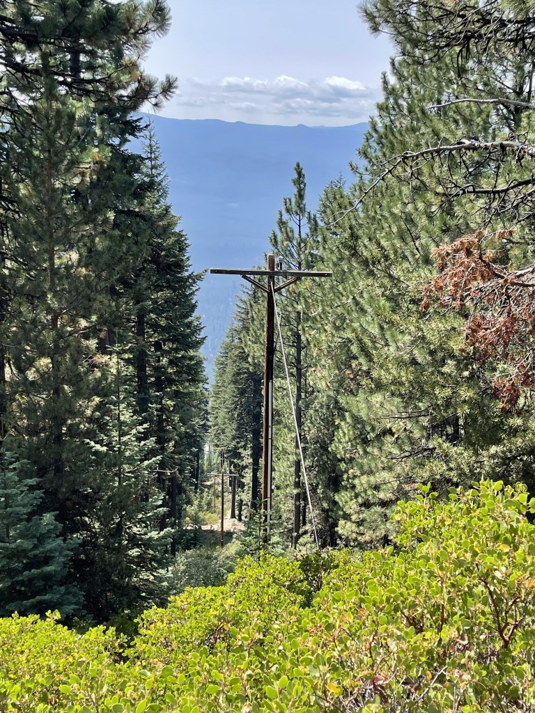
At 3.6 miles I passed some power lines heading up the mountain, likely towards the lookout tower.
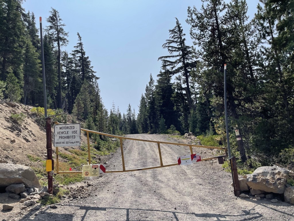
I reached another hairpin turn back to the east at 4 miles. There was a locked gate at this point.
The road made a few more switchbacks near the top.
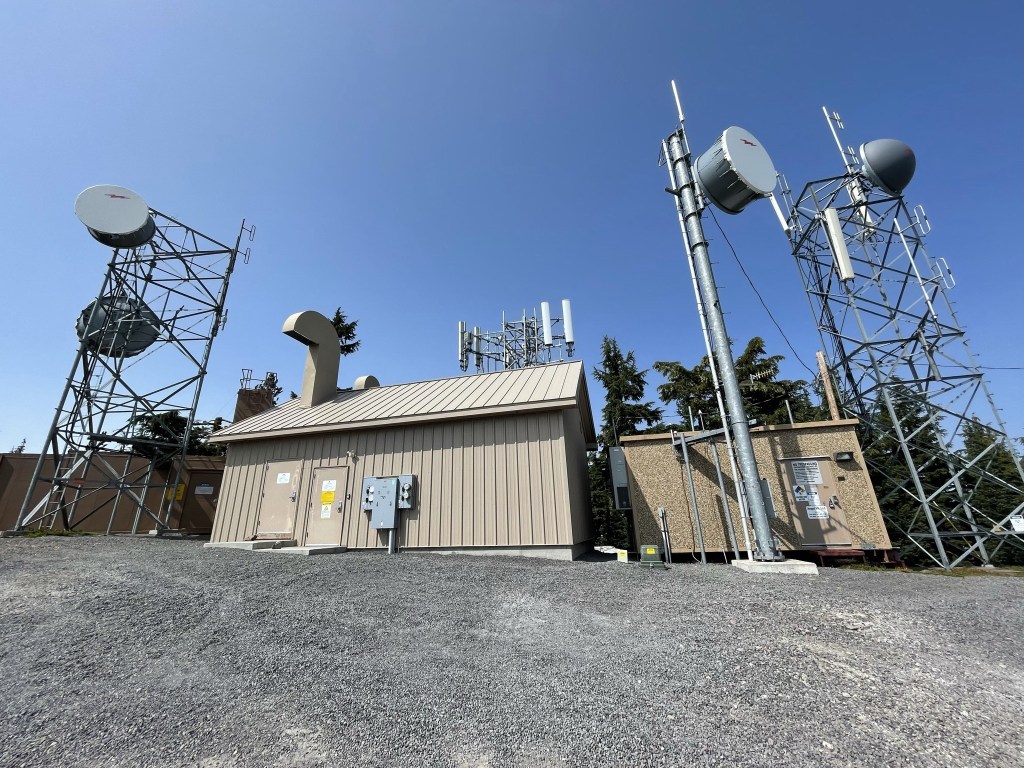
I went past some comm towers just below the summit.
I reached the fire lookout shortly after. There were 2 cars parked there so it appeared the lookout was manned today. There was a “No Visitors” sign on the stairs, probably due to Covid.
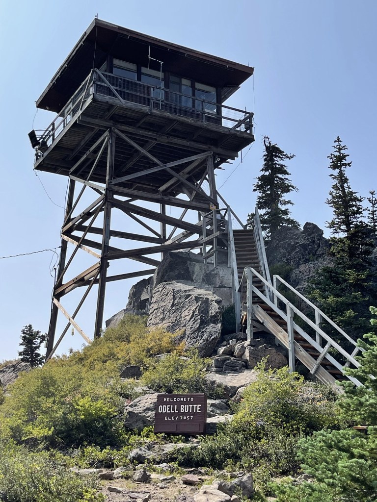
I climbed up the pile of rocks behind the tower and reached the summit at 3:04pm at 4.8 miles. I located the benchmark near the highest rock.

I found reference marker #1 underneath the tower itself.

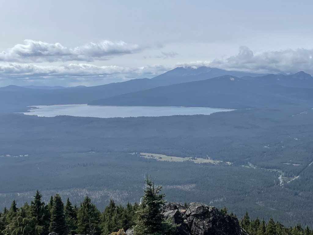
I had an excellent view of Diamond Peak and Crescent Lake to the west.
To the north I saw Hamner Butte, a very similar looking peak to Odell Butte.

I could see Cowhorn Mountain to the southwest.

Unfortunately, it wasn’t clear enough to see north to Mount Bachelor or the Three Sisters. It was very cold and windy on top, so I didn’t stay too long. I began the descent just after 3:30pm.
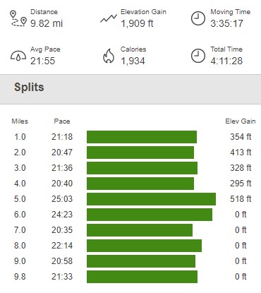
I passed a lady with her dog who were hiking up to the tower from the locked gate. I didn’t see anyone else on the way down. I reached the car again at 5:30pm. This hike totaled 9.82 miles, 1909 feet elevation gain, and 4:11:28 total time.
I was planning to climb Mount Bachelor the next morning, so I drove north through Deschutes National Forest and parked just off Forest Road NF-45 for the night.
