Mount Bachelor
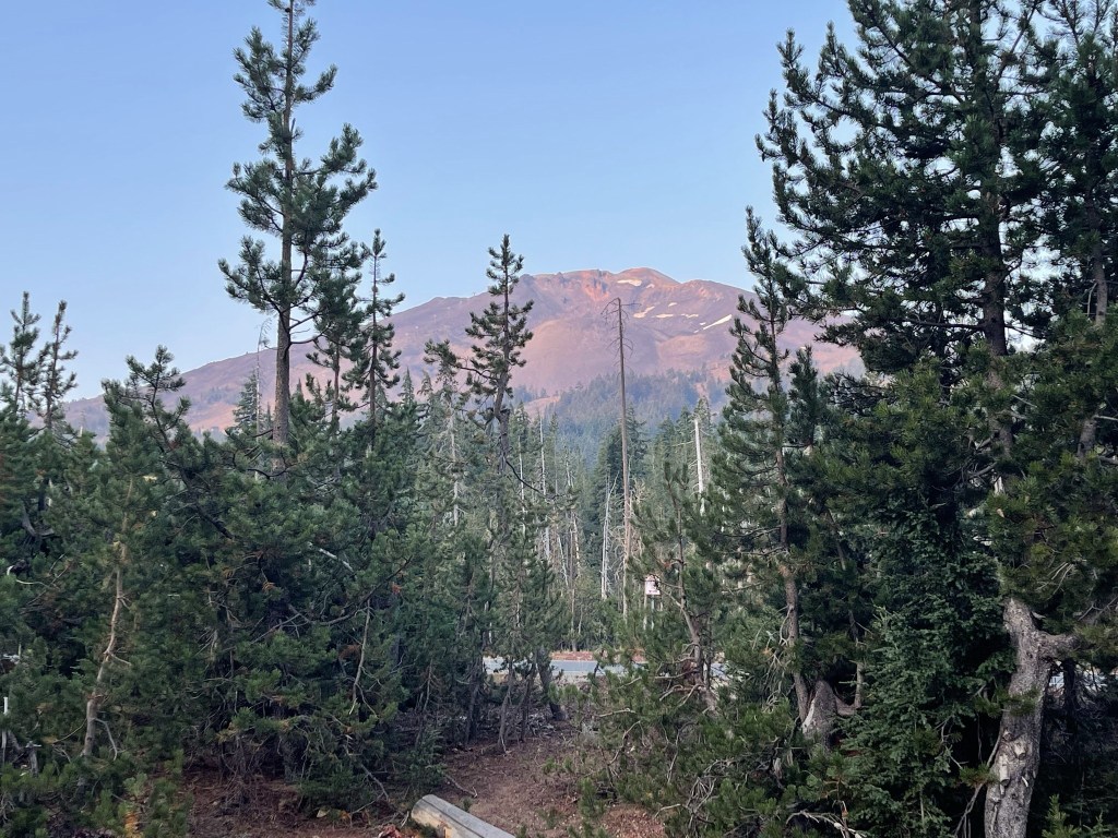
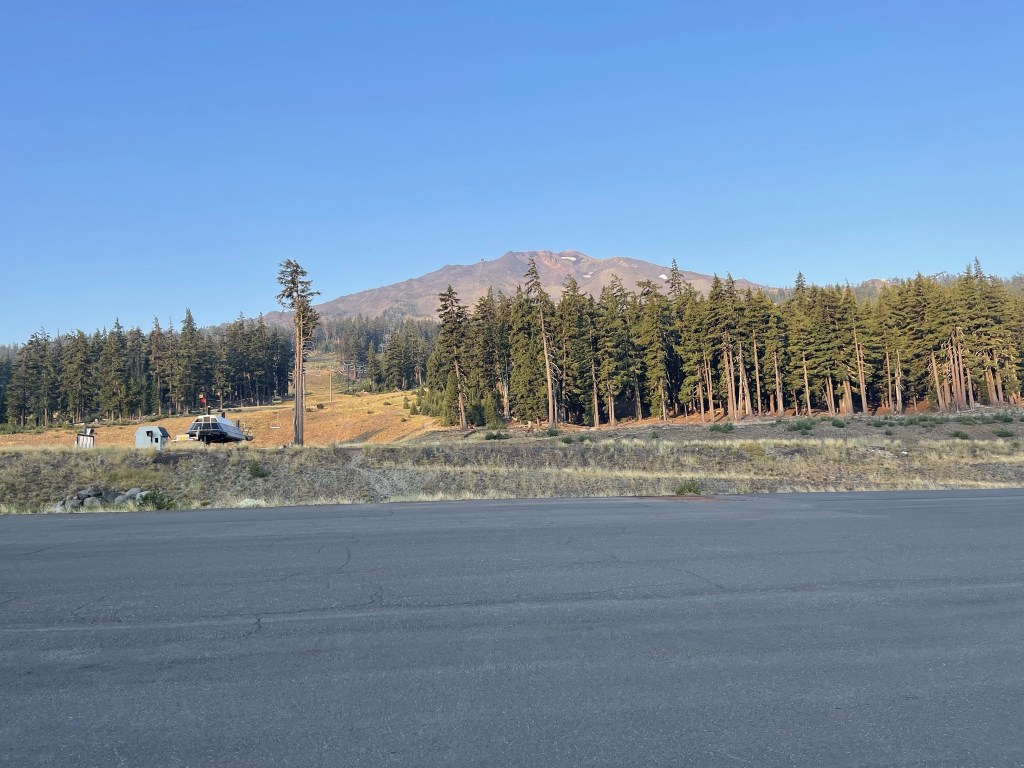
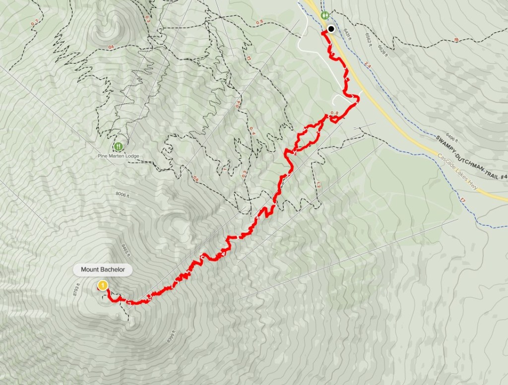
Mount Bachelor is a 9065 foot volcano in Deschutes National Forest. It apparently used to be called Bachelor Butte, but the ski resort that developed the north side of the mountain got the name changed to make it sound more exciting. The name Bachelor comes from its proximity to the Three Sisters. There are many ski runs and service roads on the north side that can be used to ascend the mountain. There is also a nice trail that switchbacks up the northeast side that I planned to take. I had spent a very cold night camped nearby just off Forest Road NF-45. It was 34 degrees when I woke up which was a bit of a shock for me in the middle of August. I made the short drive to the Dutchman Flat Sno-Park, a large parking lot located on the north side of the Cascade Lakes National Scenic Byway. I began this hike at 6:42am from 6369 feet above sea level. I could see Mount Bachelor about 2700 feet above me on the other side of the highway.
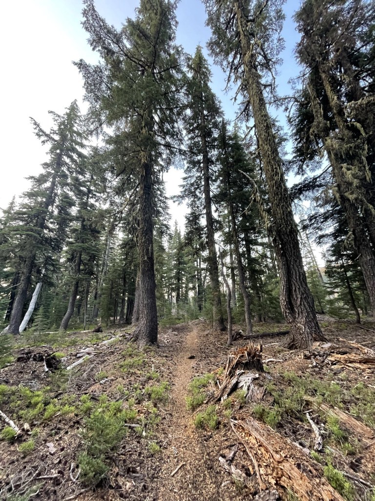
I ran across the highway and picked up a narrow trail running parallel to the road. I went south here.
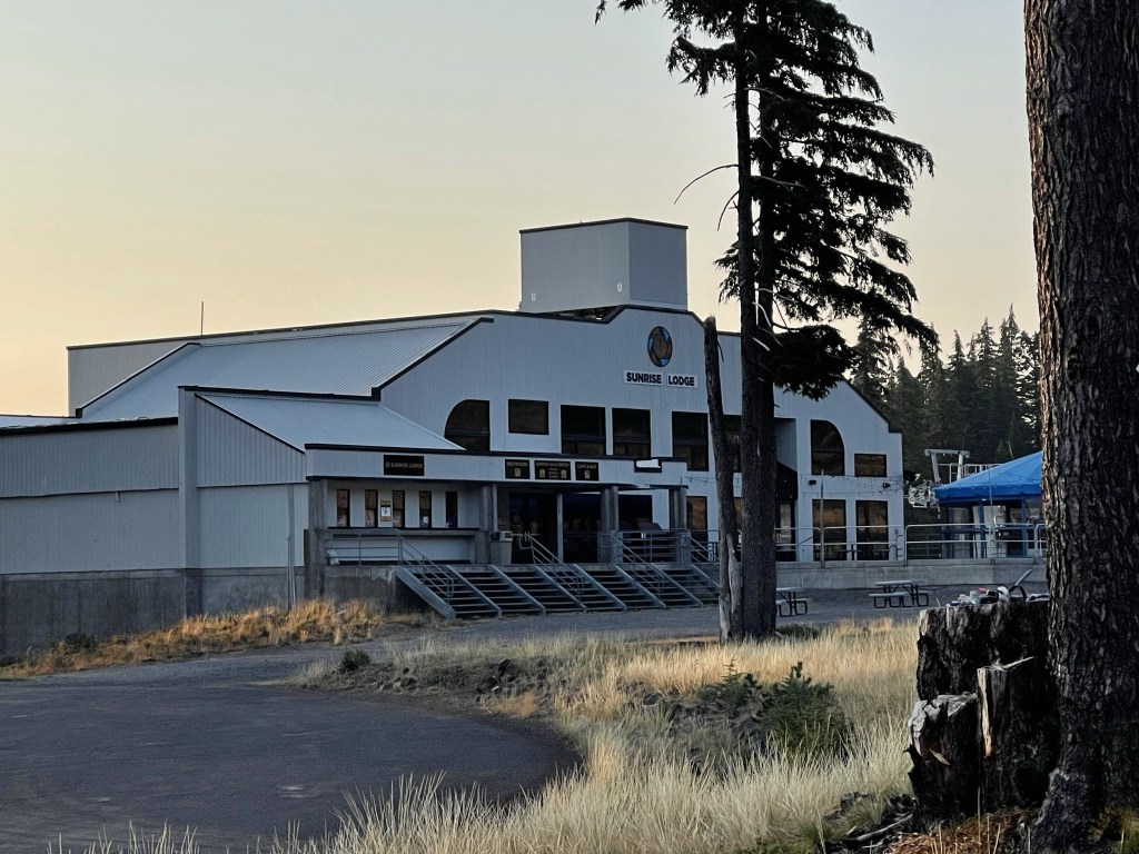
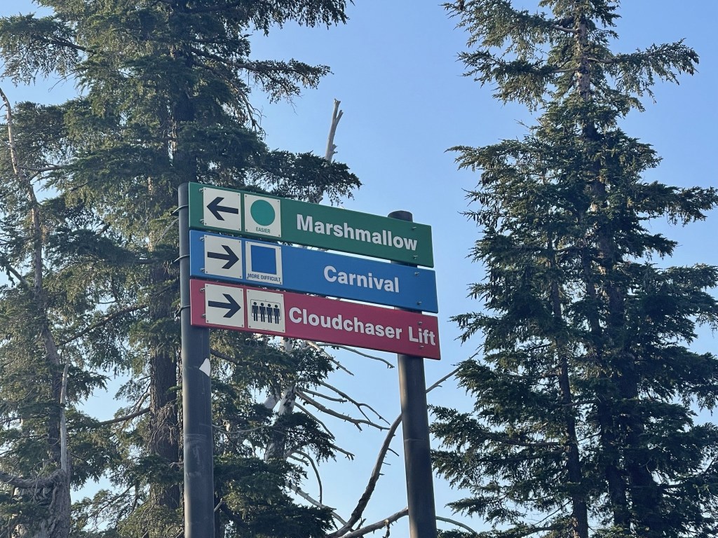
At 0.7 mile I reached the large parking lot for the Sunrise Ski Lodge.
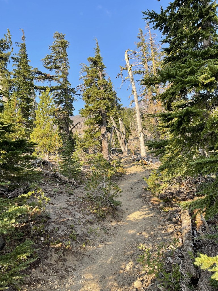
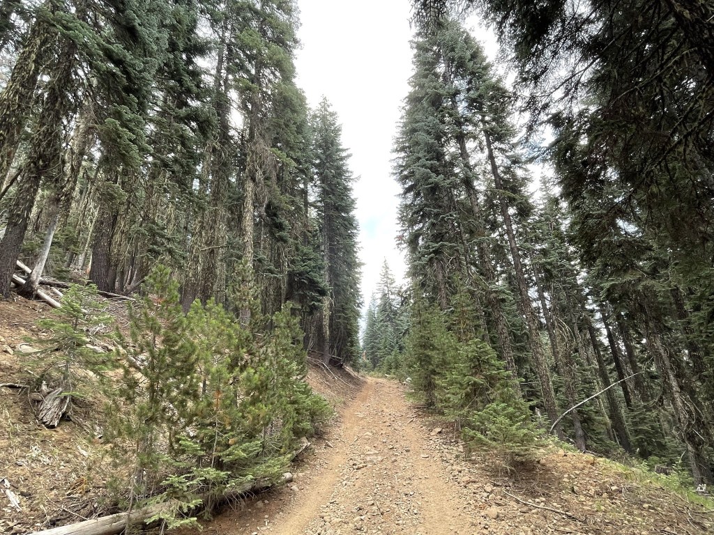
I entered the forest beyond the parking lot and hiked southwest.
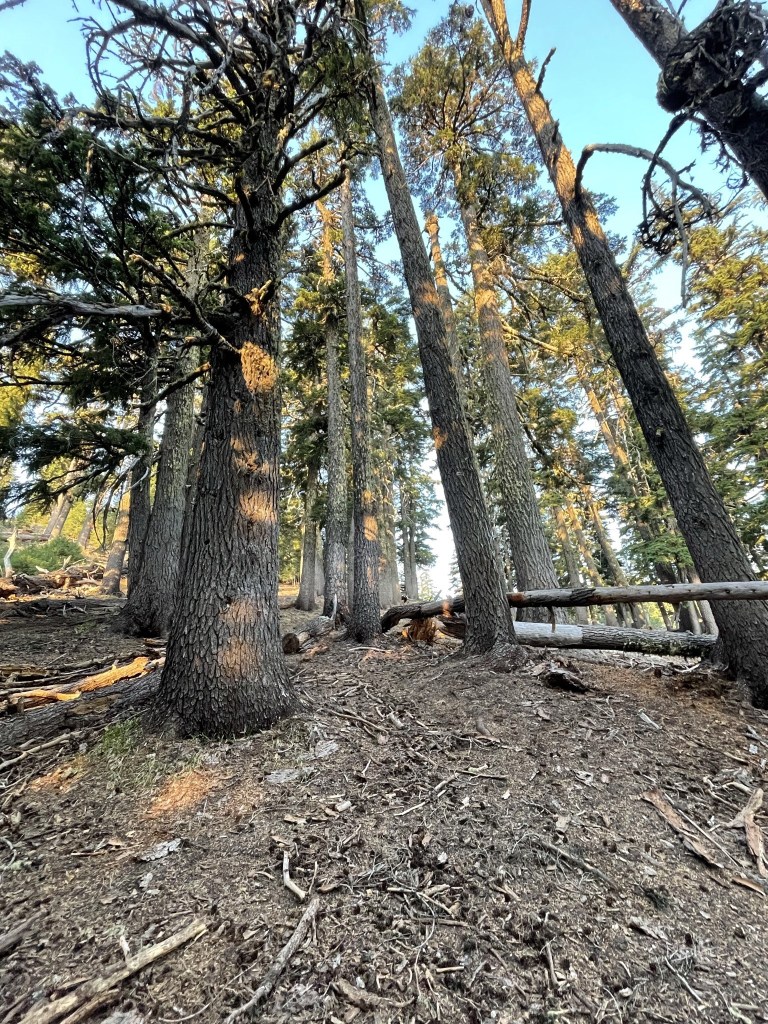
I passed through a clearing in the trees.

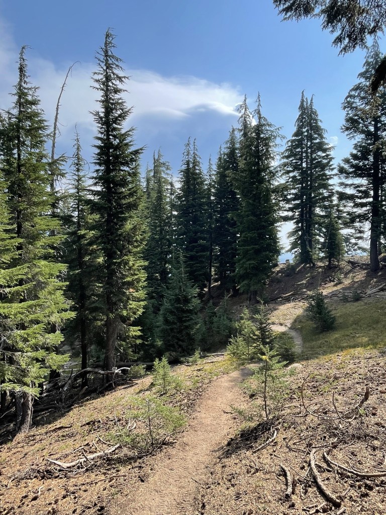
I entered the forest again and picked up the trail at 1.2 miles.
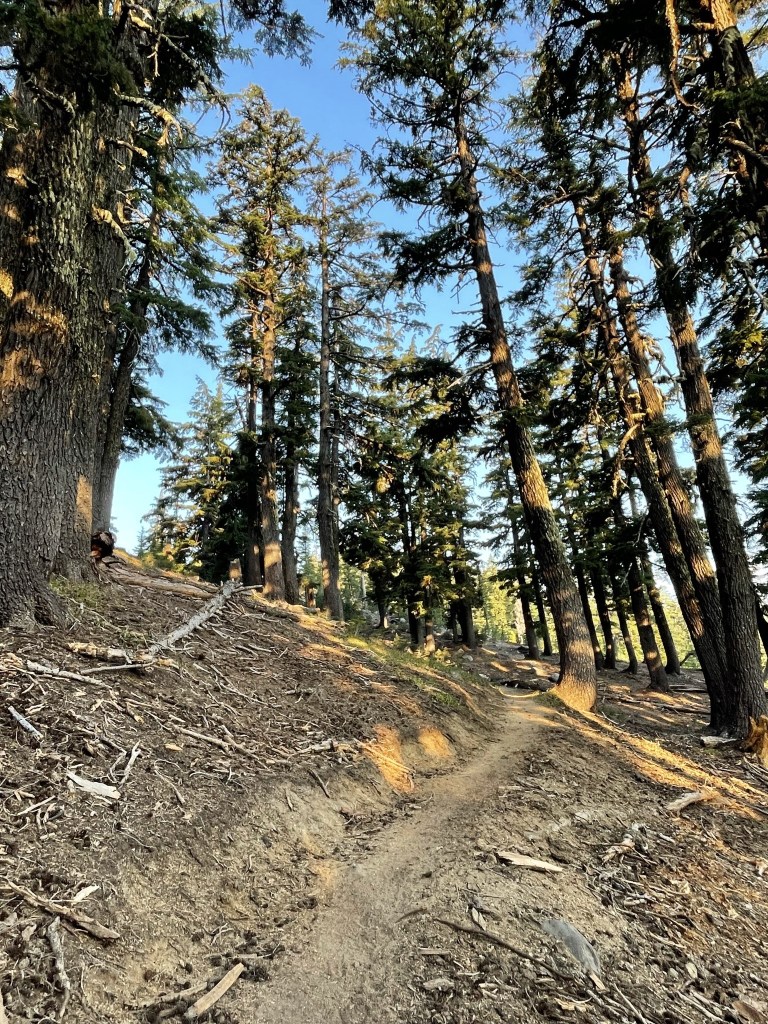
At 1.5 miles I passed under the ski lift.

At 1.6 miles I crossed a service road.
I continued southwest with the ski lift in sight.
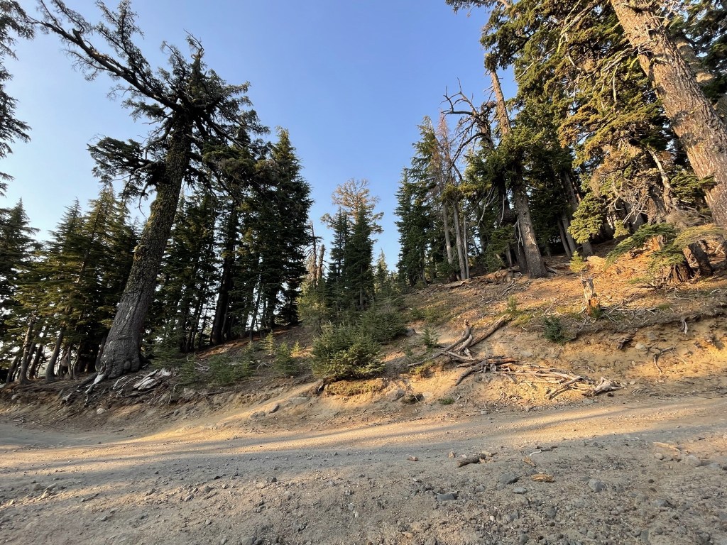
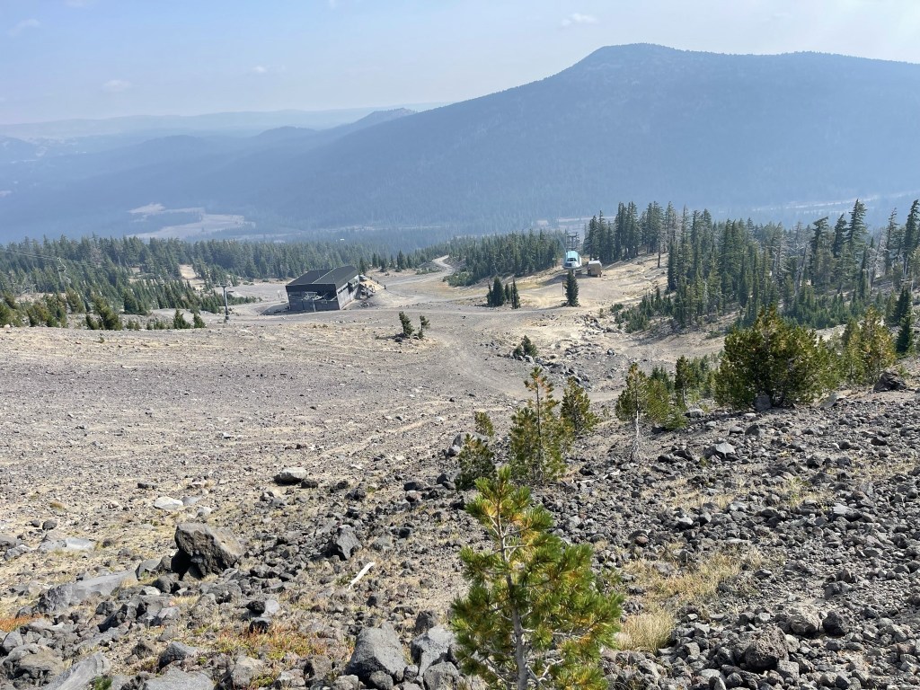
At 1.9 miles I reached the Summit Lift Station. Another ski lift goes nearly to the top from here.
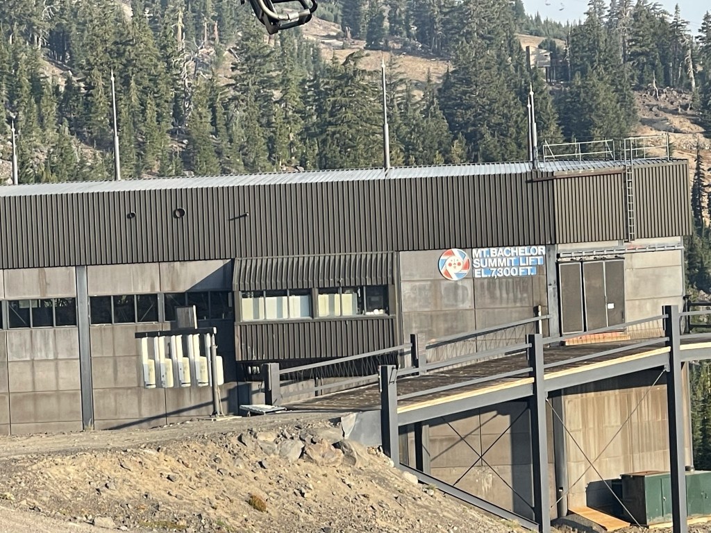
There were also a variety of ski runs nearby.
I followed the trail past the Summit Lift. I saw 2 hikers near the lift station. I figured they would be coming up the trail behind me, but I never did see them again.

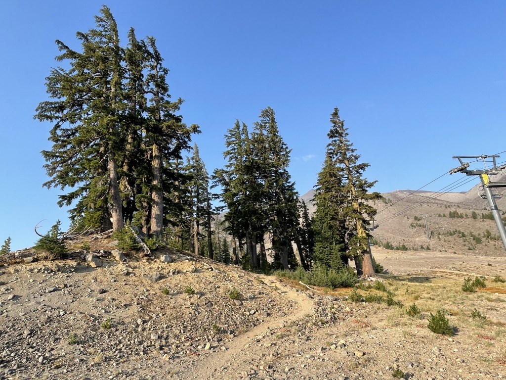
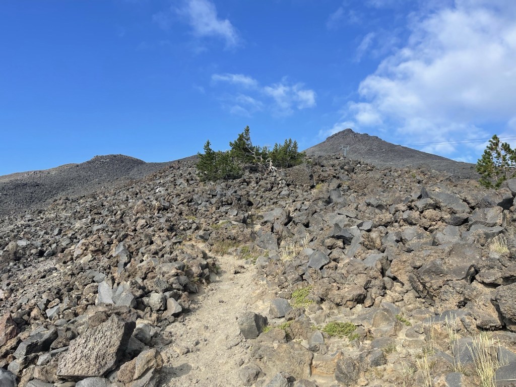
The trail continued steeply towards the summit in a southwestern direction.
The trees began to thin out.
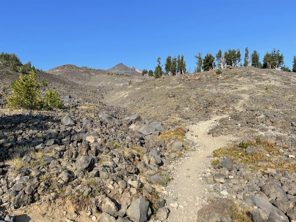
The trail became rockier but was still easy enough to follow.
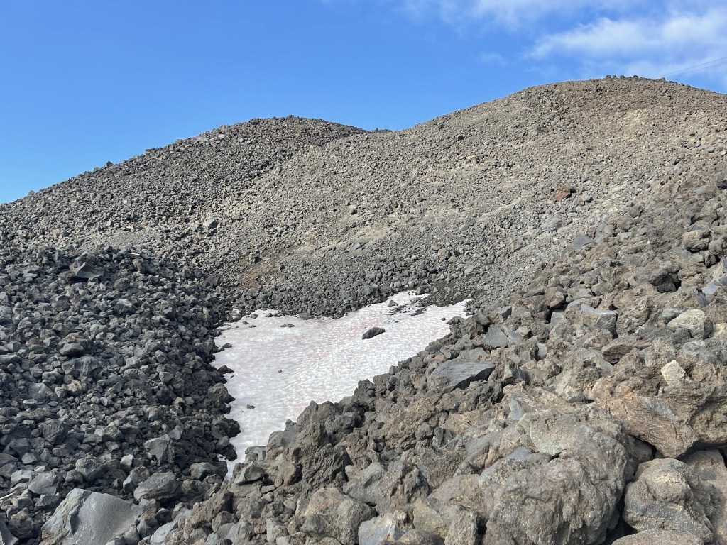
As I ascended, I saw a couple trucks down at the Summit Ski Lift, likely maintenance workers. I passed the tree line and began to see snow patches above 8100 feet.
At 3.2 miles I passed a hiker on his way down just below the top of the lift.
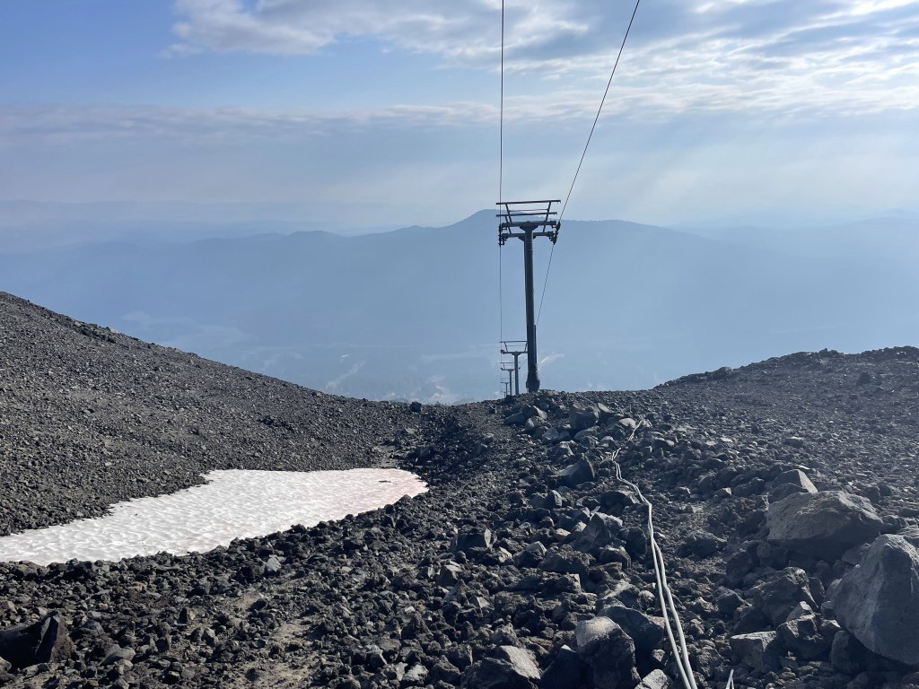
I reached the top of the lift at 3.4 miles. It was a bit sad to me how overdeveloped this area is. It is such a beautiful mountain but all of the manmade buildings, roads, ski lifts, etc really tarnish the landscape.

I was only about 100 feet below the summit here.

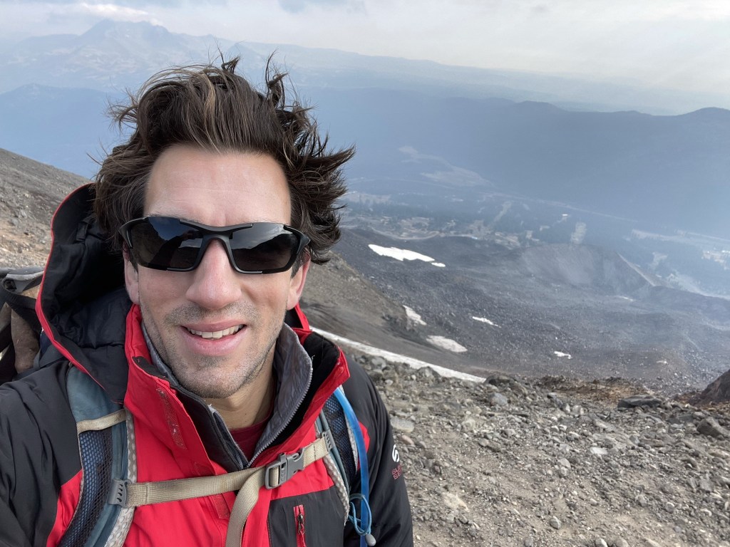
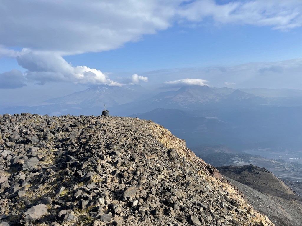
I reached the summit at 8:38am at 3.6 miles.
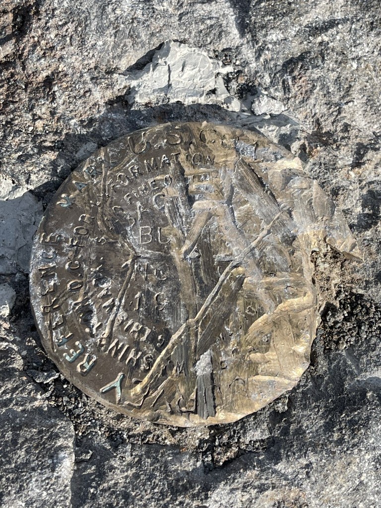
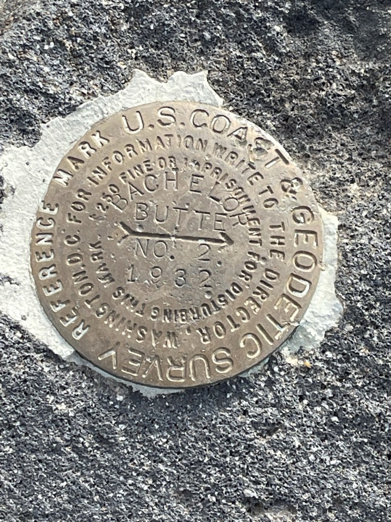
I located 2 markers on the summit, one of which was pretty badly scratched. I did not locate a register (none of the Oregon peaks seem to have one).
The smoke and haze had gotten considerably worse during my ascent. I could still make out South Sister and Broken Top just a few miles north.
Close up:

I couldn’t see anything the other directions. Presumably one would be able to see south towards Diamond Peak and Mount Thielsen. I didn’t stay too long because the wind was insane, and it was extremely cold. I began descending just before 9.

I ran into a number of hikers and runners on my way down. Of course, the runners were wearing shorts despite how cold it was. I was bit surprised to see this many people on the mountain on a Wednesday.

I reached the Summit Lift again at 5.5 miles.
I saw more maintenance vehicles and even a USFS trail crew as I descended. It really was a busy mountain.
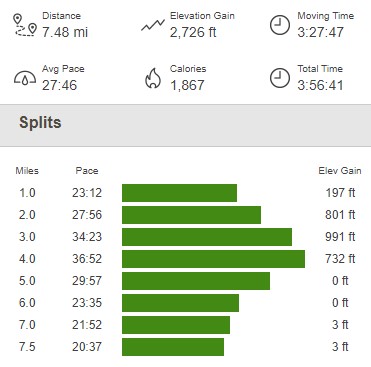
I followed my same route down and reached the car at 10:39am. This hike totaled 7.48 miles, 2726 feet elevation gain, and 3:56:41 total time.
Cultus Mountain
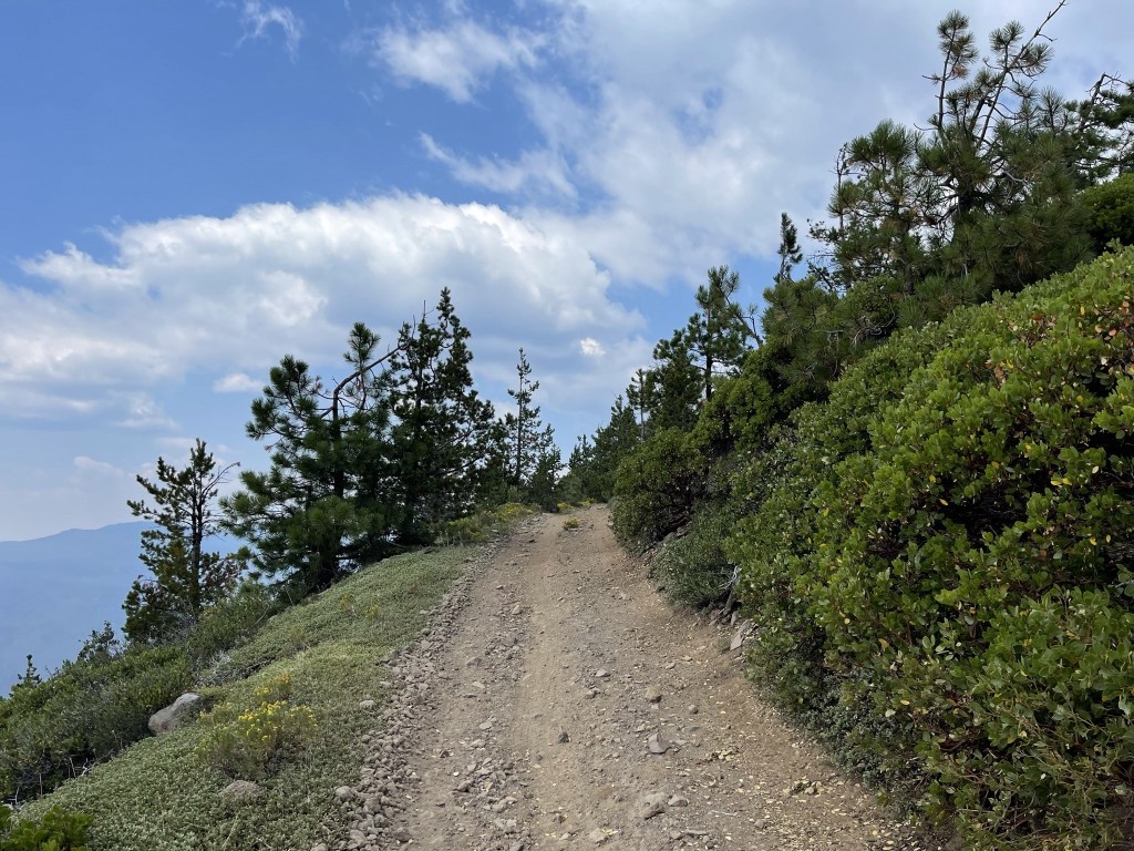
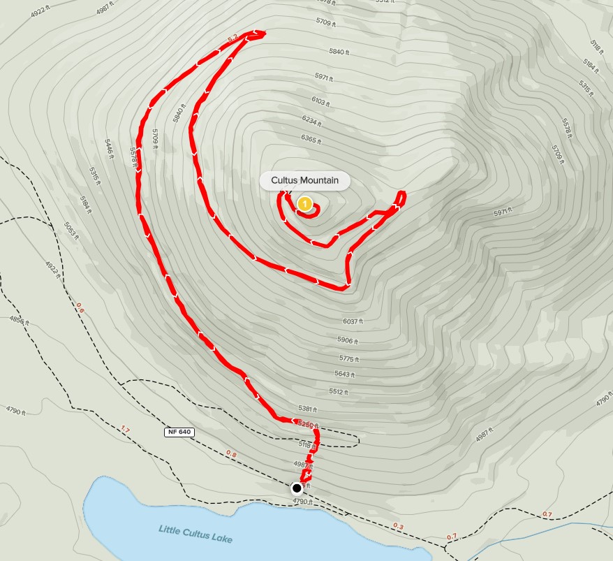
Next up for the day was 6759 foot Cultus Mountain. Cultus Mountain misses out on being a 2k prominence peak by less than 200 feet, but it does make the Oregon Top 100 peaks by prominence list. Similar to Odell Butte the day before, there is a dirt road that leads to the summit. I drove south on Cascade Lakes National Scenic Byway, and then right on NF-4635, left on NF-4630, and right on NF-640. The first 2 forest roads are bumpy but passable for most cars. NF-640 got pretty rough almost immediately so I parked sooner than I would have liked. I began this hike at 11:51am from 4870 feet. A family of 4 on bikes passed me as I was getting ready. They would be the only others I would see on the mountain. I decided to cut the first 2 switchbacks and head straight up the side of the mountain.

I crossed the road at 0.2 mile and kept going up the slope. I reached the road again at 0.3 mile.

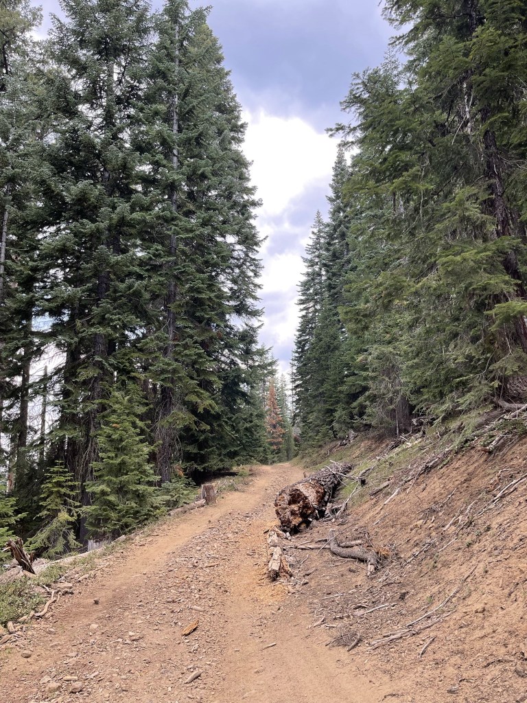
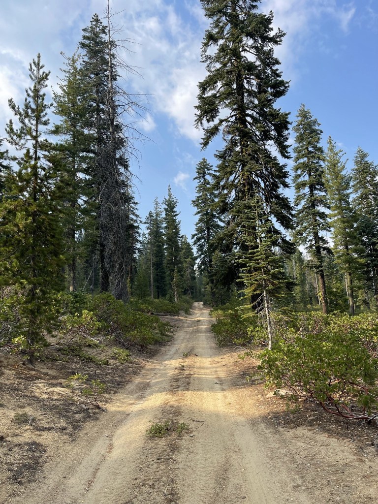
I hiked northwest up the road. It definitely felt more remote and wilder than my road hike to Odell Butte the day before.
At 2 miles I reached a hairpin turn and curved to the southeast.

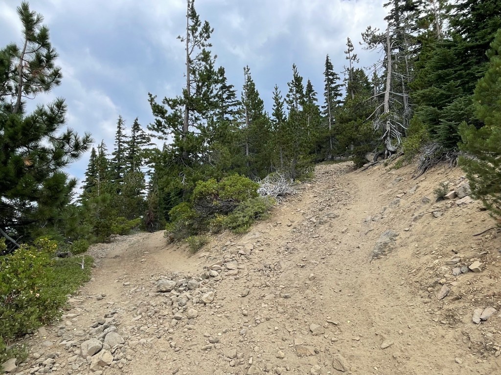
The road was pretty rough. High clearance and 4WD required for this one. If you passed a car going the other way, it would be very difficult to get around each other. One of you would likely need to back up quite a long ways.
I made good time up the road.

I reached another hairpin turn at 3.7 miles.
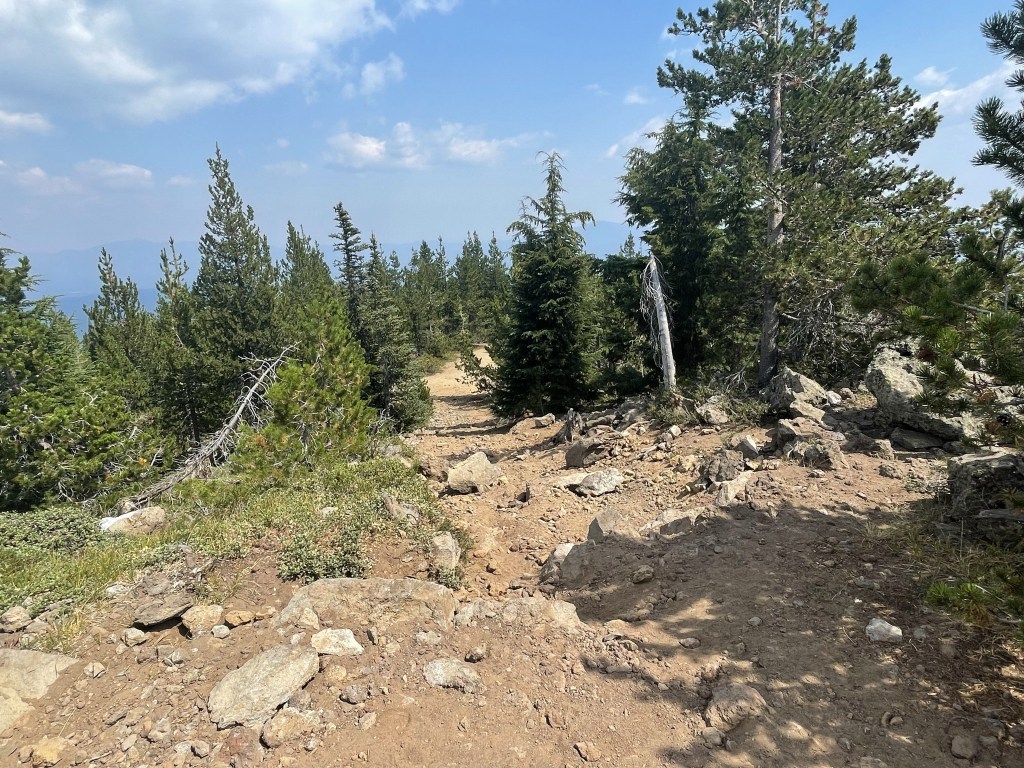
I reached a fork at 4.2 miles and went right. The two forks would rejoin a short distance up the mountain.
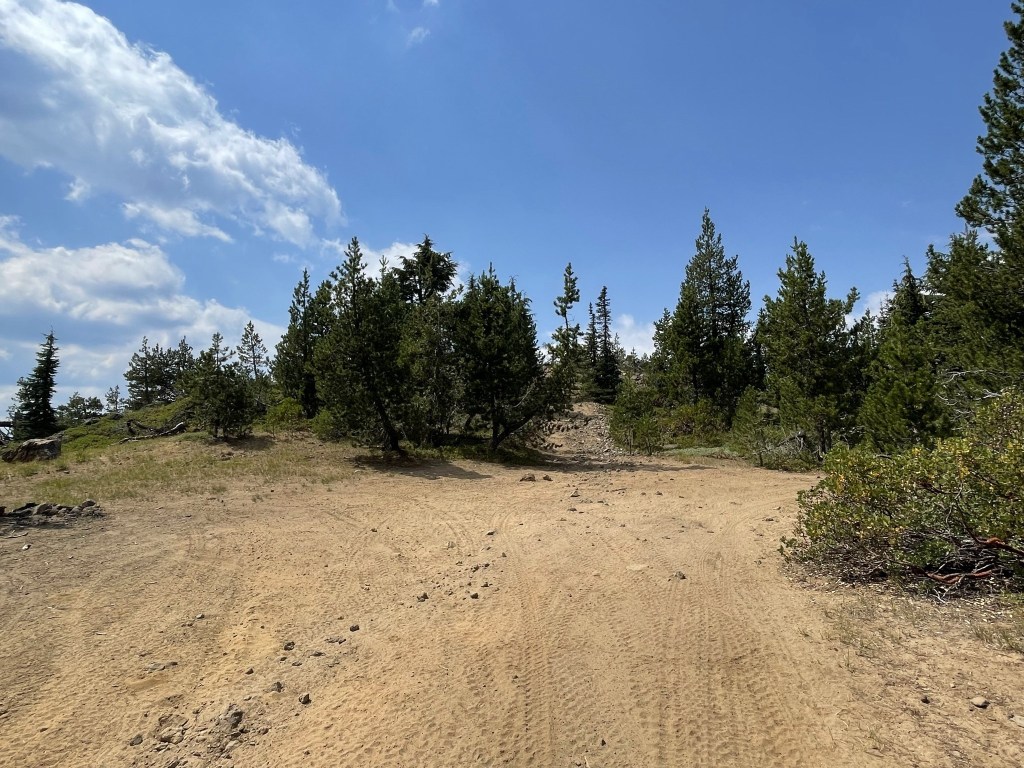
I reached a parking area just below the summit.
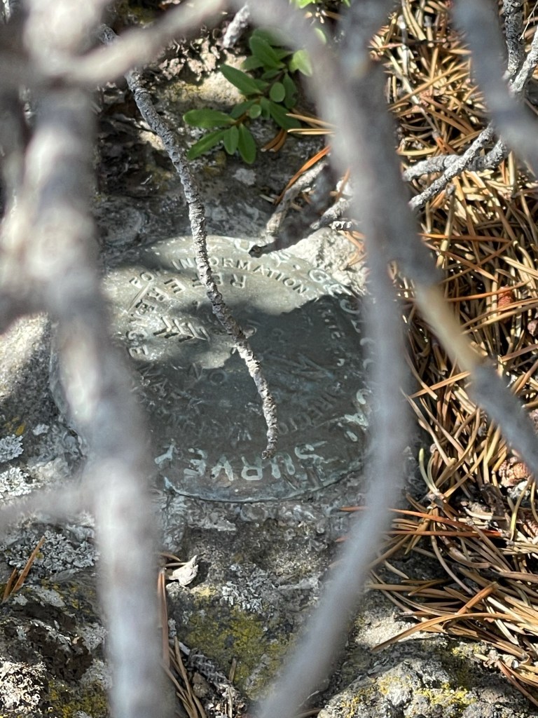
I reached the summit at 1:36pm at 4.5 miles! I was able to locate a reference marker under a bush.
The views were pretty limited due to haze/smoke.
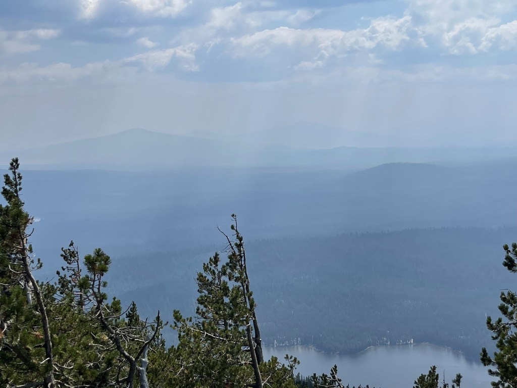
I could barely see Mount Bachelor to the northeast.

I began descending just before 2pm.
I followed the road back down the mountain.

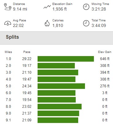
I took the same shortcut to cut the final 2 switchbacks. I reached the car again at 3:35pm. A truck drove by me as I was packing up. This hike totaled 9.14 miles, 1936 feet elevation gain, and 3:44:09 total time.
Hamner Butte
My final hike for the day would be 7098 foot Hamner Butte, a 2k prominence peak located south of Cultus Mountain near Odell Butte. I drove nearly all the way up the mountain on decent dirt roads. The network of roads was a maze, but I was able to follow a helpful driving track on Peakbagger to get close to the summit (Forest Road 4678 is the one you want). I began this hike at 4:51pm from 6171 feet.

I didn’t quite drive to the end of the road, so I had a little road hiking to do.
At 0.5 mile I left the road. I definitely could have driven to this point.

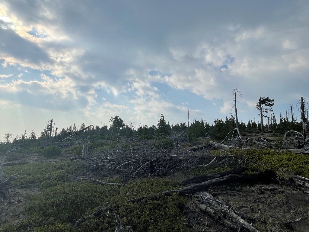
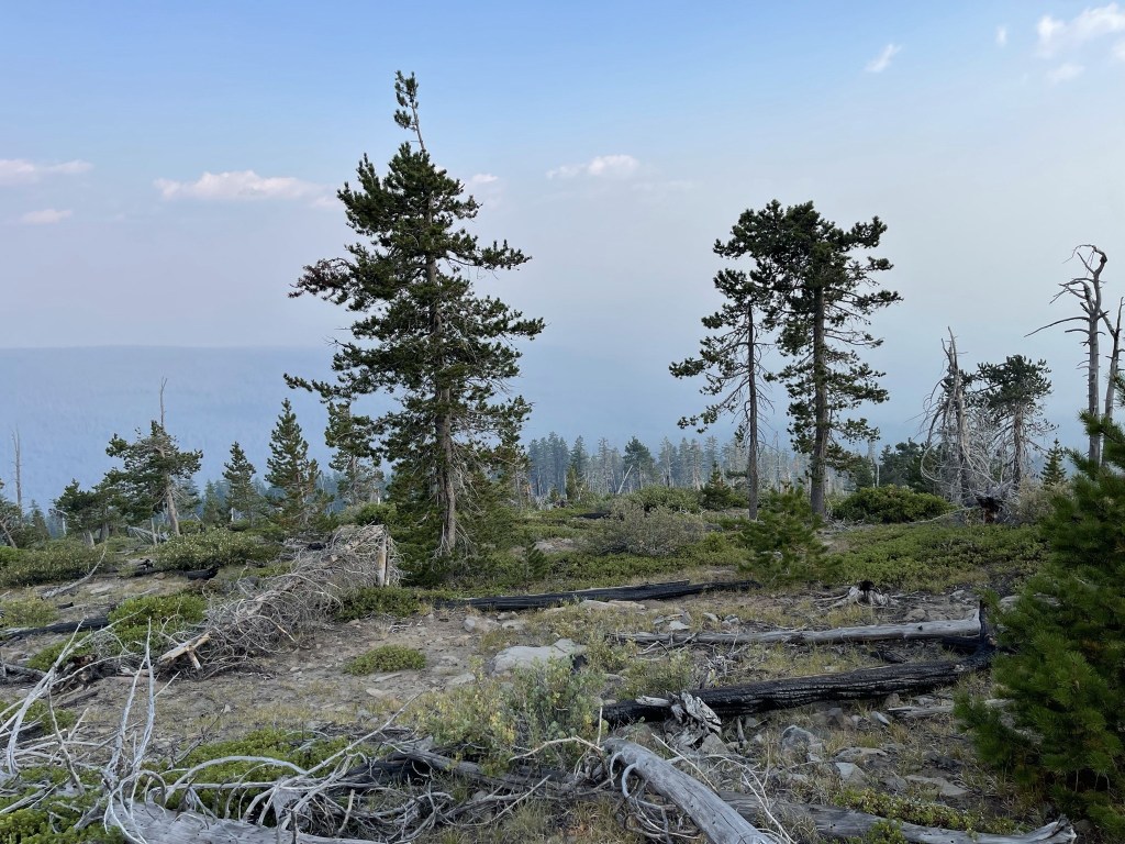
I hiked west up the forested slope, dodging deadfall and low brush along the way.
The trees cleared about halfway up, and the brush became thicker. I had to pick my line carefully to avoid heavy bushwacking.
I soon reached the summit plateau.
The summit rocks are located on the southwest side of the plateau.
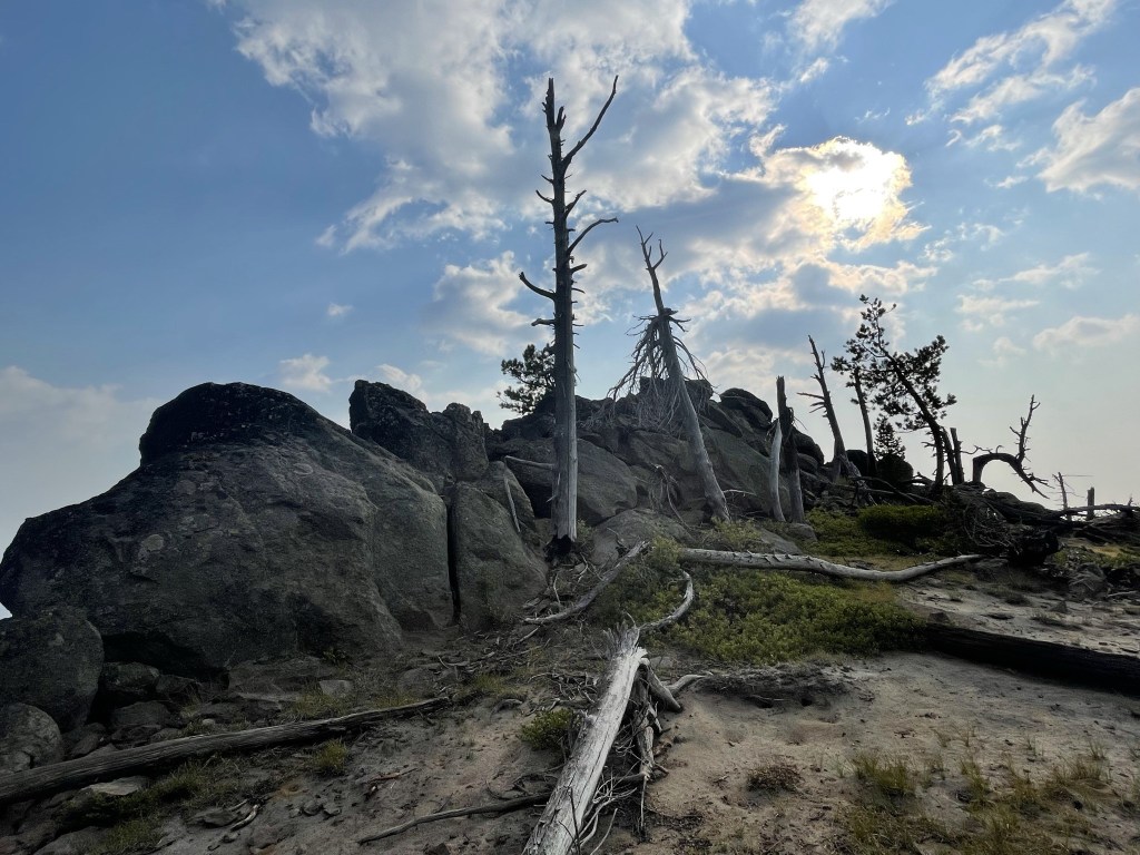
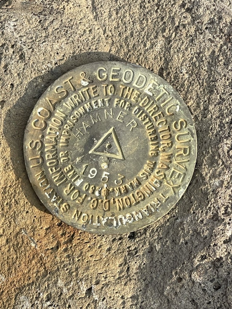
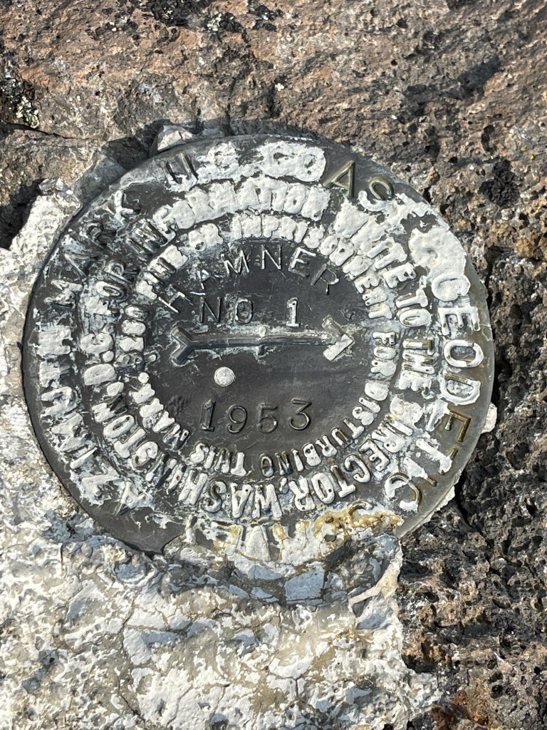
The summit rocks required a minor scramble to reach the top. I was on the summit at 5:31pm at 1.1 mile. I located a benchmark and reference marker no 1
There was a large orange barrel on the summit.

Views were nonexistent due to heavy smoke. It was much worse here than it was on Bachelor and Cultus further north. I began descending after a short break.
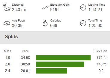
I circled around the summit plateau and then took a similar route down. I reached the car at 6:16pm. This hike totaled 2.43 miles, 919 feet elevation gain, and 1:25:30 total time.

I packed up drove back out to the Cascade Lakes National Scenic Byway. I had a permit to climb South Sister the next day, so I wanted to camp nearby. I found a nice spot to park for the night on Forest Road NF-4025.
