Day 1
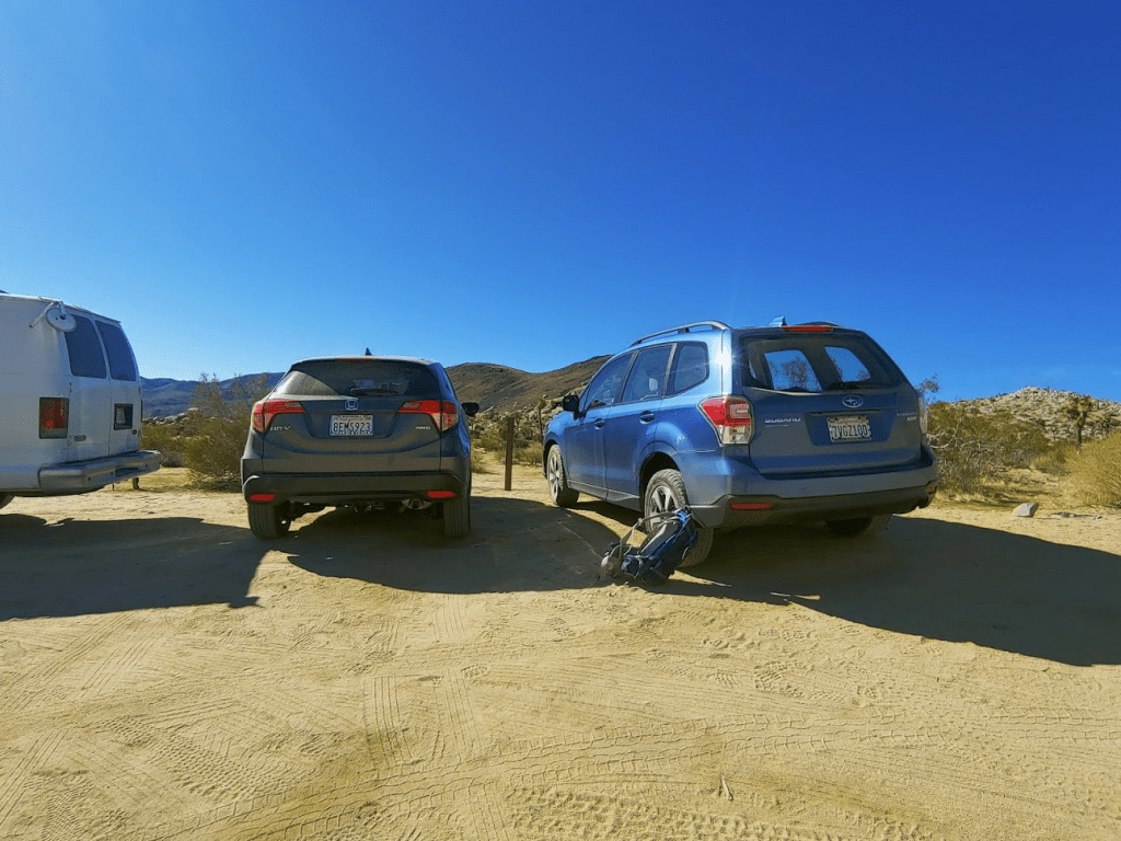
Now that football season was over, it was time to head off on another weekend trip to the desert. This time, I decided to head out to Joshua Tree to climb some peaks in the park and surrounding areas. I wrapped up work a little early on Friday and hit the road around 4:45pm. To avoid Friday rush hour traffic, I went through Julian and Borrego Springs, and then took Box Canyon Road from Mecca to the south entrance of Joshua Tree National Park. I arrived at Cottonwood Campground just a few miles from the entrance at 8:30pm where I would spend the night at site B28. Despite being a Friday evening, only about 75% of the sites were full, so I was able to snag a spot (and I avoided paying since I arrived after hours). I imagine all of the other campgrounds were full, but Cottonwood is about an hour drive from the main tourist attractions, making it the least popular campground. I had a pretty good night of sleep in the back of the Subaru.
Day 2
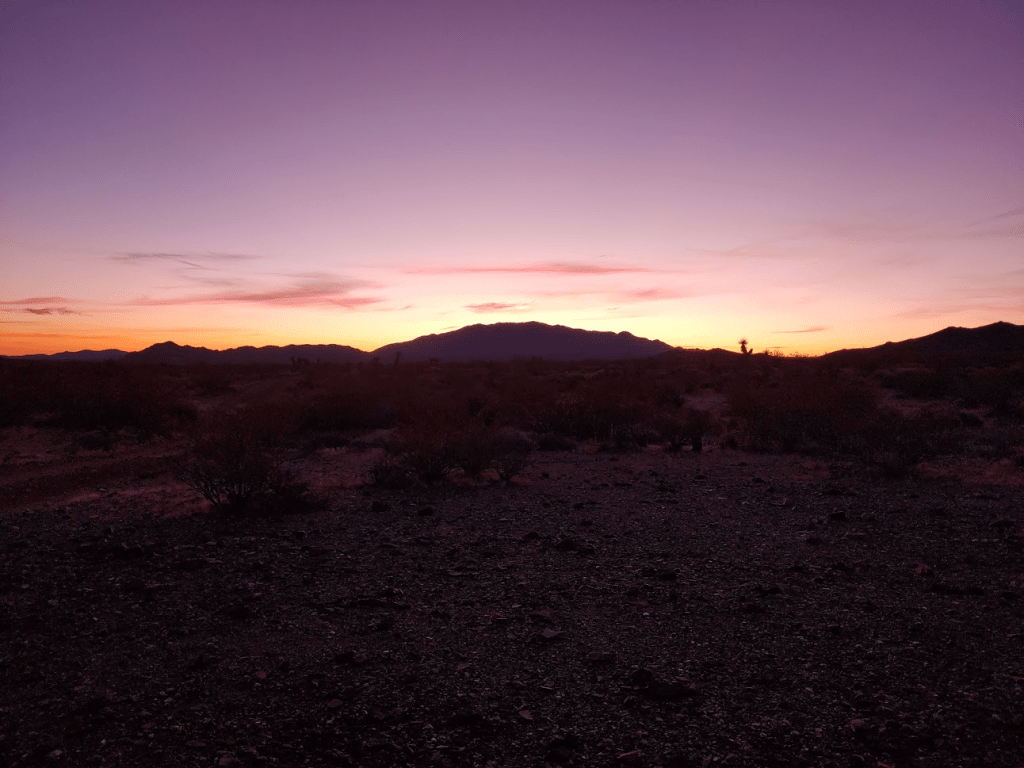
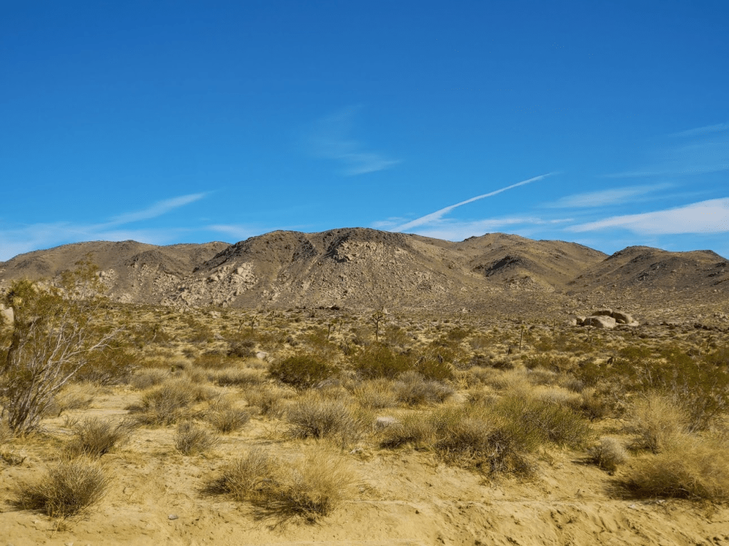
I woke up at 5:15am, quickly got ready and was off by 5:45. Directly across the main road from the campground, there is a dirt road that heads west. I followed this well maintained road for a mile to a fork. The right fork was gated, and the left fork becomes unmaintained Pinkham Canyon Road. I drove down this road for 3-4 miles before parking in a clearing off to the side. The road was in decent shape, but high clearance is necessary for a few portions. The first signs of daylight were beginning to appear over Eagle Mountain to the east.
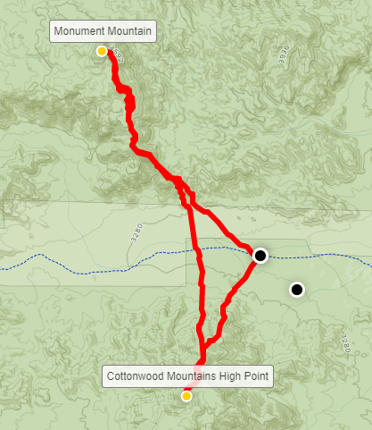
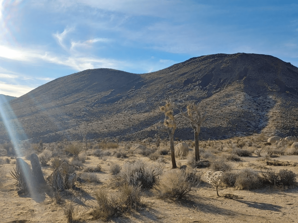
My plan for the morning would be to climb Monument Mountain (4834 ft) and Cottonwood Mountains High Point (4493 ft). Monument Mountain is about 3 miles north of Pinkham Canyon Road and Cottonwood is about 2 miles south, making it about a 10 mile hike to summit both peaks. Monument Mountain has over 1000 feet of prominence and is on both the Sierra Club Lower Peaks list and Andy Zdon’s Desert Peaks list. Cottonwood isn’t on any list and isn’t especially notable except for being a range high point. I began hiking from the road around 3100 feet at 6:30am.

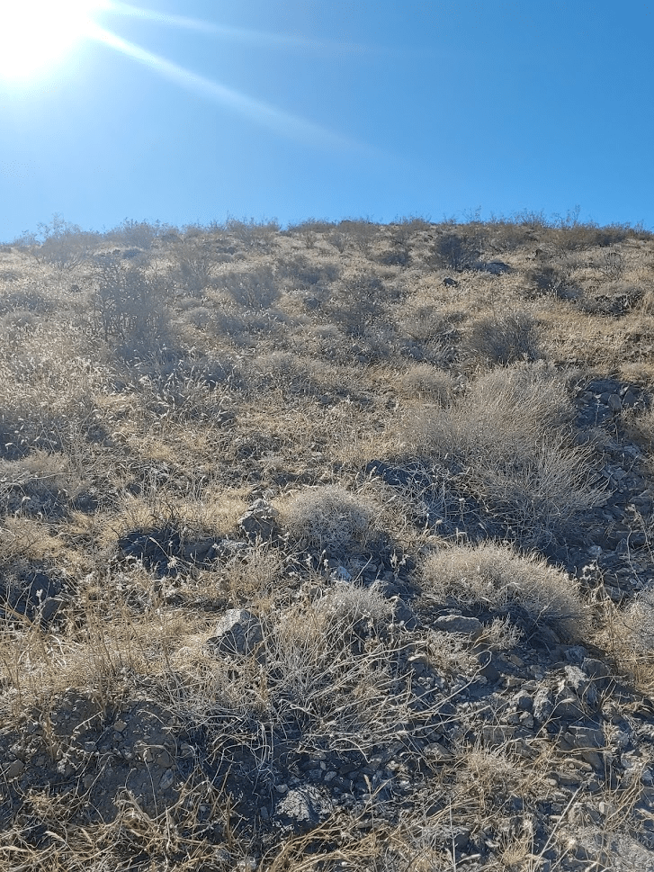
It was chilly so early in the morning, but I could tell it was going to be a beautiful day. After walking across about a half mile of flat desert, I began hiking up the slopes of Monument.

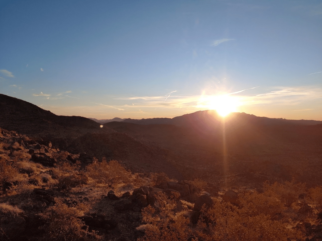
Around 7, the sun began to rise over Eagle Mountain.
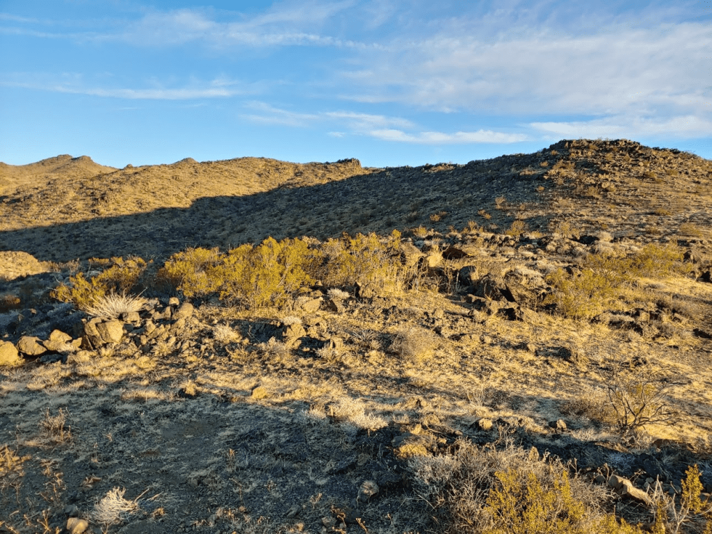
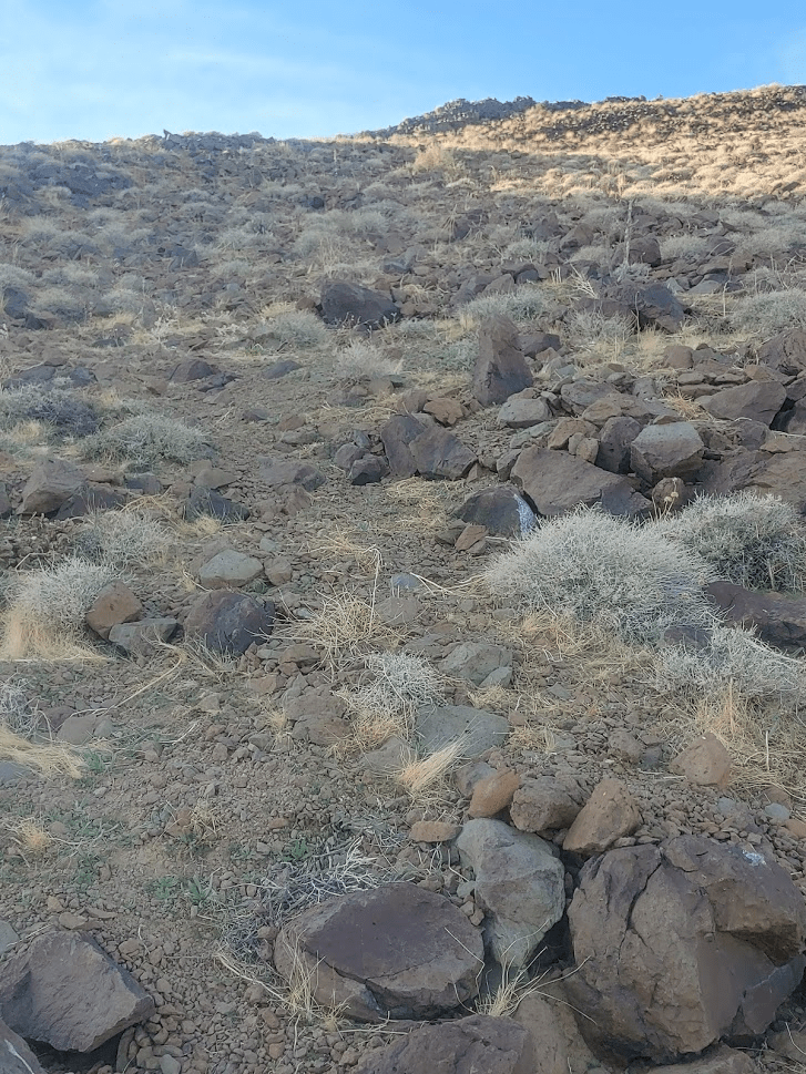
The slopes were fairly gentle, and the footing was solid, so I made good progress up the southeast ridge.
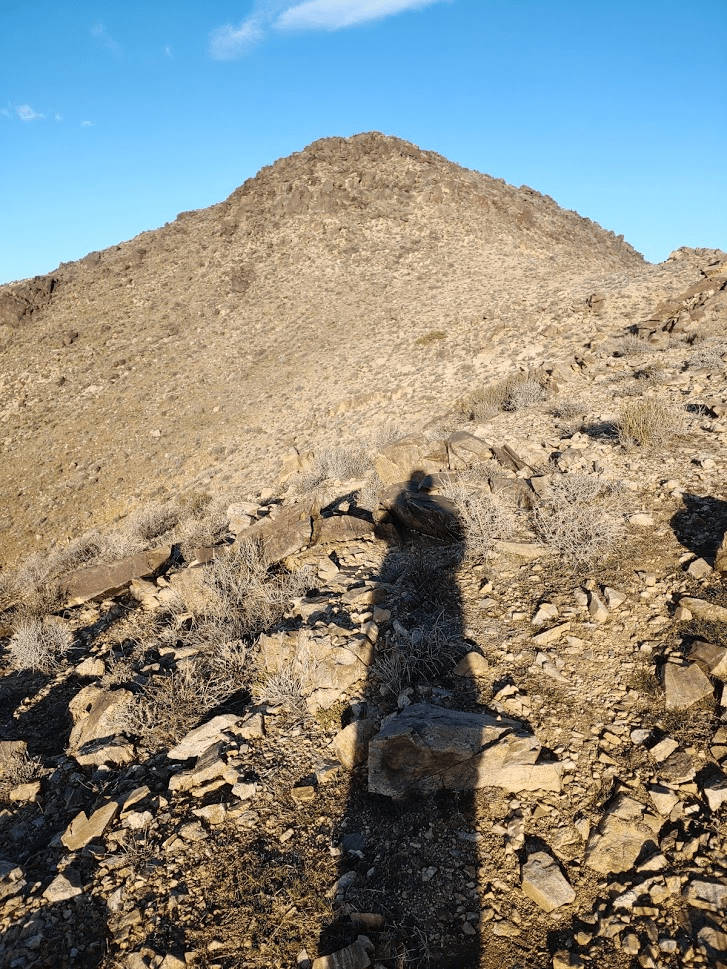
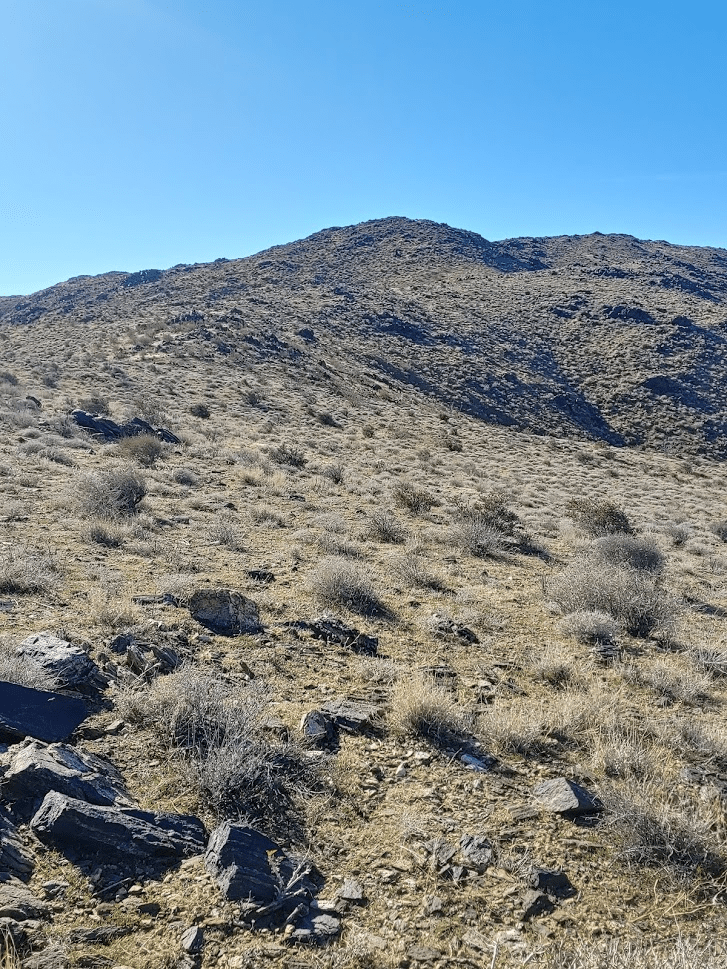
Before long the round pointed summit came into view.
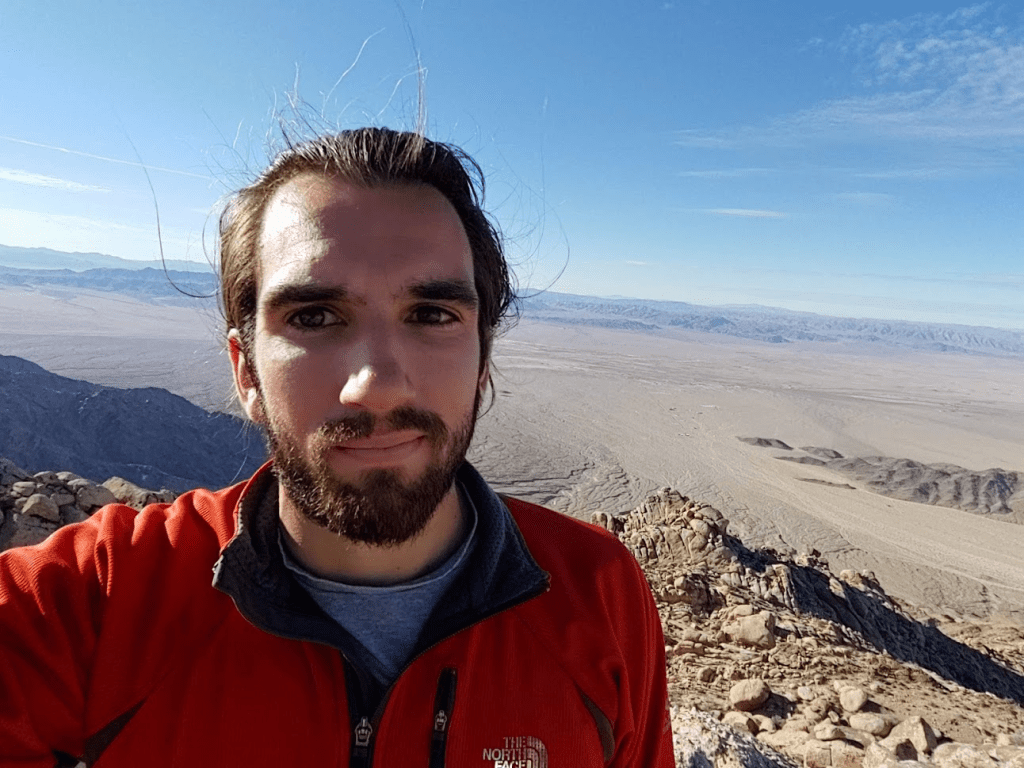
After 3.39 miles of hiking I reached the summit at 7:56am. It was some of the easiest desert hiking I had ever done.
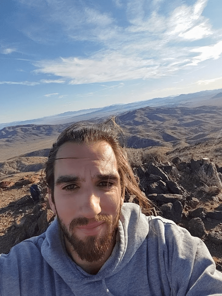
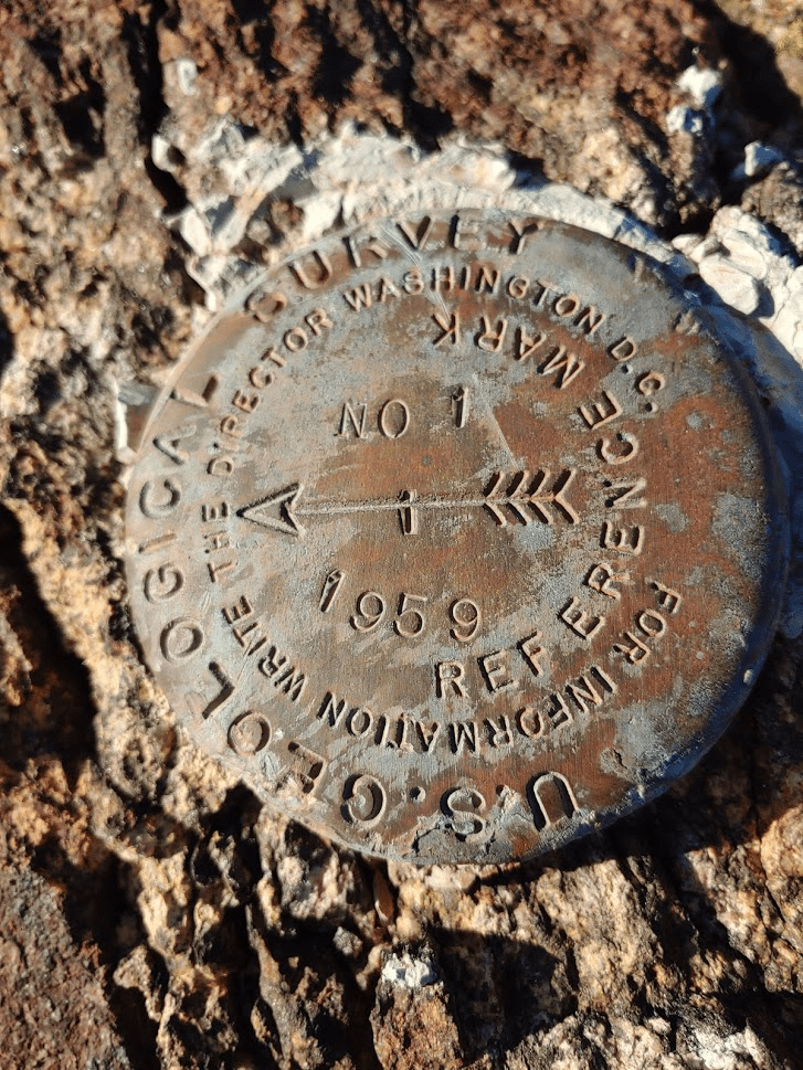
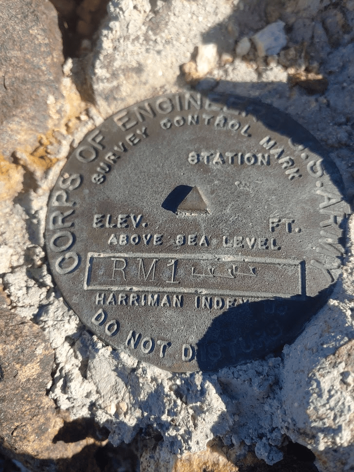
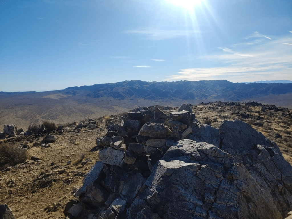
I signed the register and located the benchmark plus 2 reference markers.


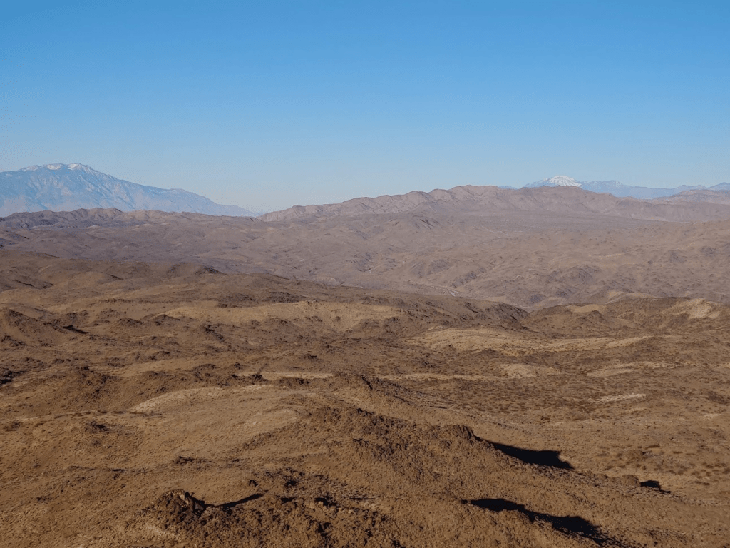
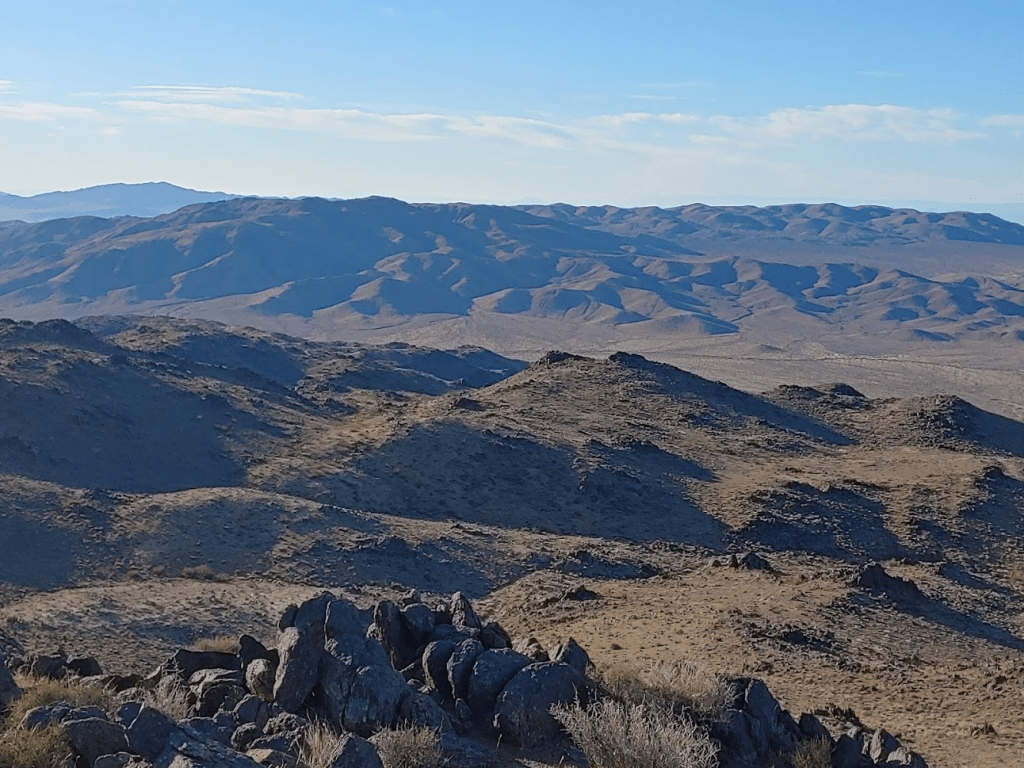
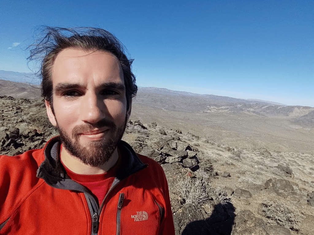
It was a very clear day, so I had excellent views all around. Snow-capped San Jacinto and San Gorgonio were visible to the west.
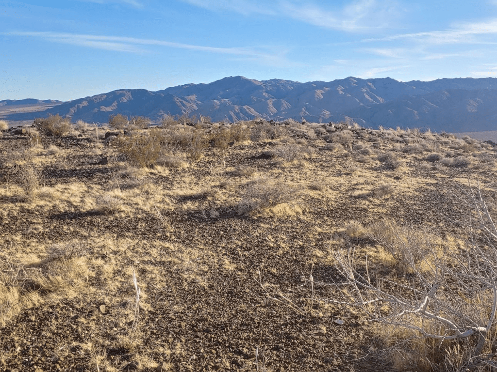
To the north and east I had a good view of the many desert ranges of Joshua Tree.
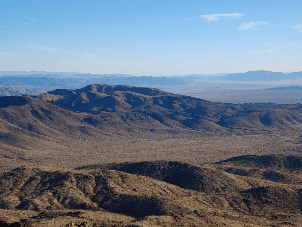
To the south was my next objective, the Cottonwood Mountains.
After resting for 20 minutes on the summit, I began the descent. I took the same route down, which again was very easy due to the solid footing on this mountain. It took an hour to reach the base of the mountain once more. I had been debating returning to the car to grab more water and my trekking poles which I had forgotten, but I decided against it. The 2 liters of water I had would be fine and I could live without the poles. By taking a direct route between the 2 mountains I probably saved myself about a mile. The Cottonwood Mountains were about a mile away.
It took 10 minutes to reach Pinkham Canyon Road again. My car was about a half mile to the east.

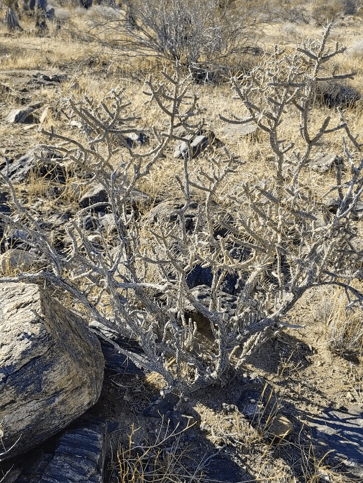
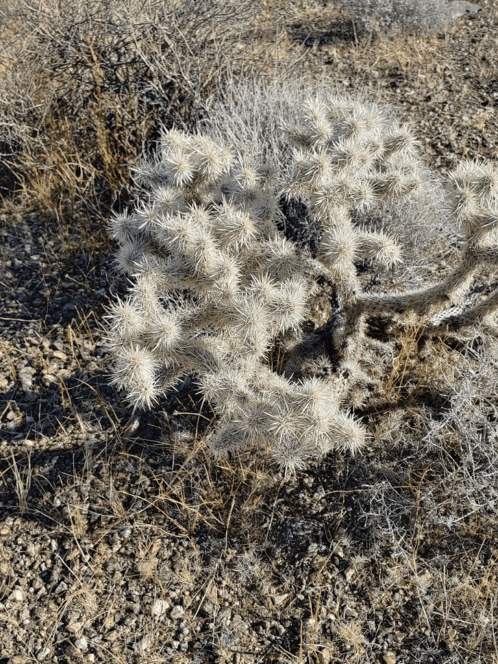
I saw quite a few jackrabbits while crossing the desert plain. There were also many varieties of cholla, but thankfully no teddy bear cholla.
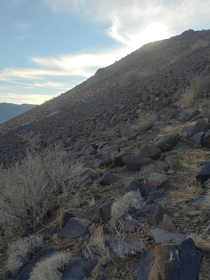
It took 13 minutes to reach the base of the Cottonwoods from the road.
The terrain was even easier than on Monument.
At 10:17am I stood on the highpoint of the Cottonwood Mountains. I had been hiking for 8.15 miles.
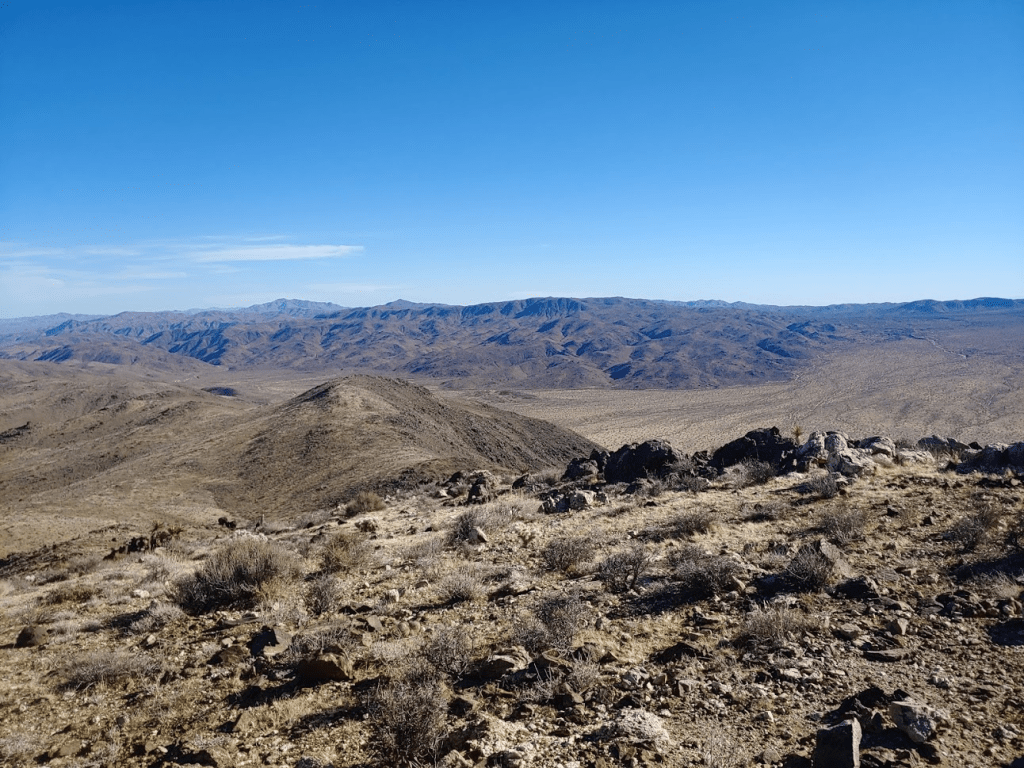
There were no USGS markers on this peak. I signed the register and soaked up the views. I had an excellent view of Monument Mountain a few miles to the north. Its conical summit is very distinctive.

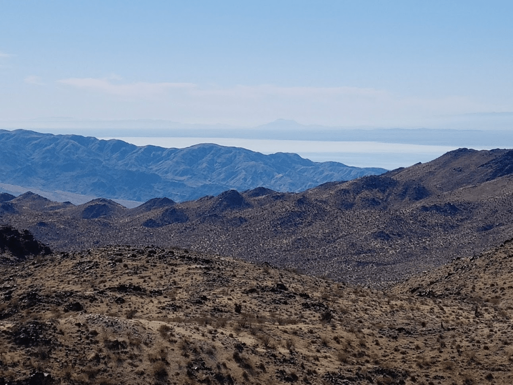
The views were very similar to Monument, except I could glimpse the Salton Sea to the south.
I rested for about 30 minutes on the summit before beginning my descent. It was definitely getting warm now.

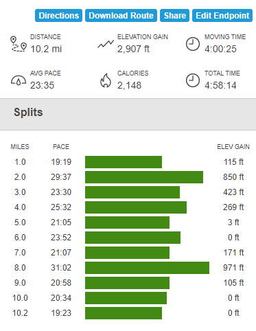
I made quick time down the mountain. I descended a different ridge than I came up to aim more directly at my car. I reached my car once more at 11:27am. I clocked 10.2 miles, 2907 feet of elevation gain, and 4:58:14 total time on the hike.
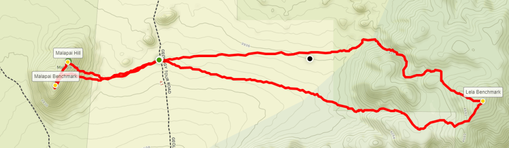
I was impressed with how quickly I was able to summit the 2 peaks. I decided I had enough time to summit 2 more peaks, Lela Benchmark (4720 ft) and Malapai Hill (4280 ft). It took about an hour and a half to make the drive, taking Pinto Basin Road all the way to Park Boulevard, and then turning left onto Geology Tour Road and proceeding down the excellent dirt road for 4-5 miles to a small parking area. Geology Tour Road eventually deteriorates into a 4WD road, but any car could make it to this point.
This hike would be similar to my morning hike; the 2 peaks lay on opposite sides of the road which make for a nice hike when combined. Lela Benchmark is a small peak on the western portion of the Hexie Mountains. It is about 2 miles from the road and is another one of Andy Zdon’s desert summits. Malapai Hill is a Sierra Club Lower Peak and is only about 1 mile from the road. I decided to climb Lela first, so I started heading east across the desert at 1:09pm.
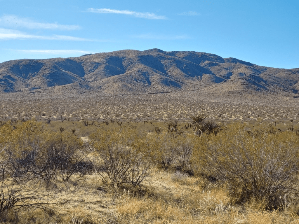
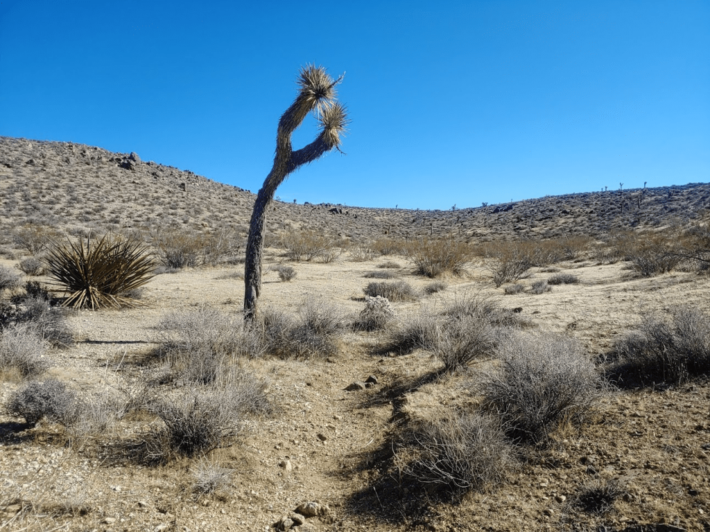
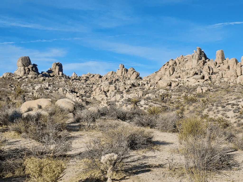
Many Joshua trees dotted the landscape. I was happy to see the peculiar trees again, since there aren’t any in the lower eastern half of the park where I was in the morning.

I hiked up a drainage on the western side of the peak.

After the drainage, it flattens out into a plateau below the summit.
I reached the summit at 2:06pm. I had been hiking for 2.3 miles.
I did not find the benchmark, only one reference marker could be located.
I had an excellent view of the entire park since Lela is pretty much right in the middle of it.
Malapai Hill lay a few miles to the west.

I rested for 30 minutes on the summit before beginning my descent. I hiked down a different gully than the one I came up. This one was slightly to the north and was definitely rockier which provided a nice challenge.

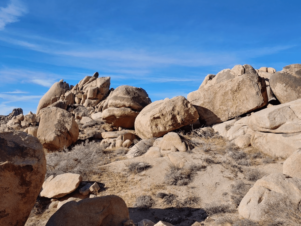
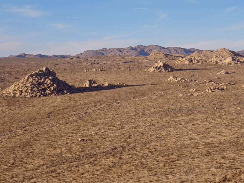
At the bottom were some cool rock formations.
At 3:30 I reached the road once again. I stopped briefly at my car to grab my poles which I had again forgotten. I started hiking towards Malapai Hill which is just a short distance from the road.
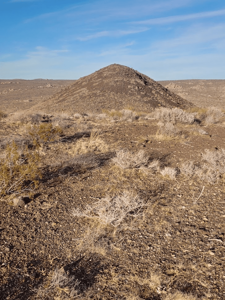
Interesting, Malapai Hill is composed of black basalt, which makes it unlike other formations in the park. It was a short climb but pretty steep. I was glad to have my poles.
Sections of it had some pretty loose rock.
I hiked up to the saddle between the 2 summits. I went over to the slightly lower south summit first. Apparently, there used to be a benchmark on this summit, but it has either been removed or is impossible to find.
The true summit lay just a short distance to the north.
It took just about 5 minutes to hike over to the true summit. It was now 4pm and I had been hiking for 5.71 miles. I had an excellent view of Lela Benchmark to the east.
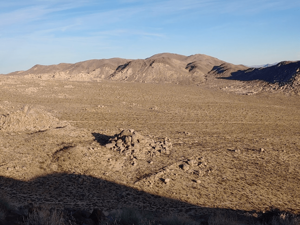
Malapai Hill is about 500 feet lower than Lela, so the views were similar but not quite as good. The fading daylight was starting to cast shadows across the desert.
I stayed on the summit for 30 minutes as I watched the sun beginning to set behind Lost Horse Mountain.

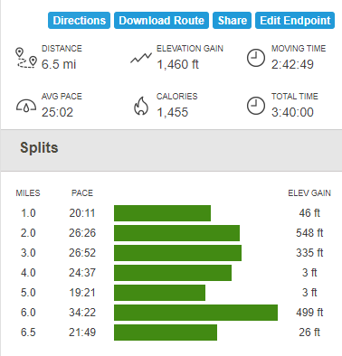
I started hiking down at 4:30pm. It took less than a half hour to reach my car again. Totals for my afternoon hike were 6.5 miles, 1460 feet elevation gain, and 3:40:00 total time.
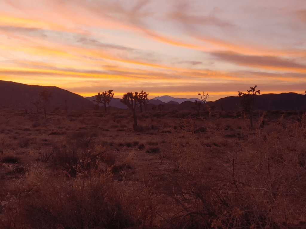
It had been a nice long day of hiking, and I was exhausted and hungry. I started driving towards Twentynine Palms, but I purposely drove slowly to admire the incredible desert sunset. It was one of the best I had ever seen.
I made it to Twentynine Palms and had dinner at a cheap Mexican restaurant called Las Palmas.

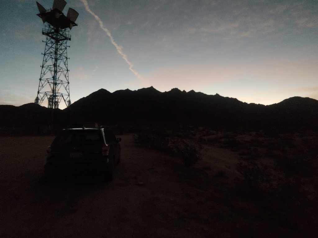
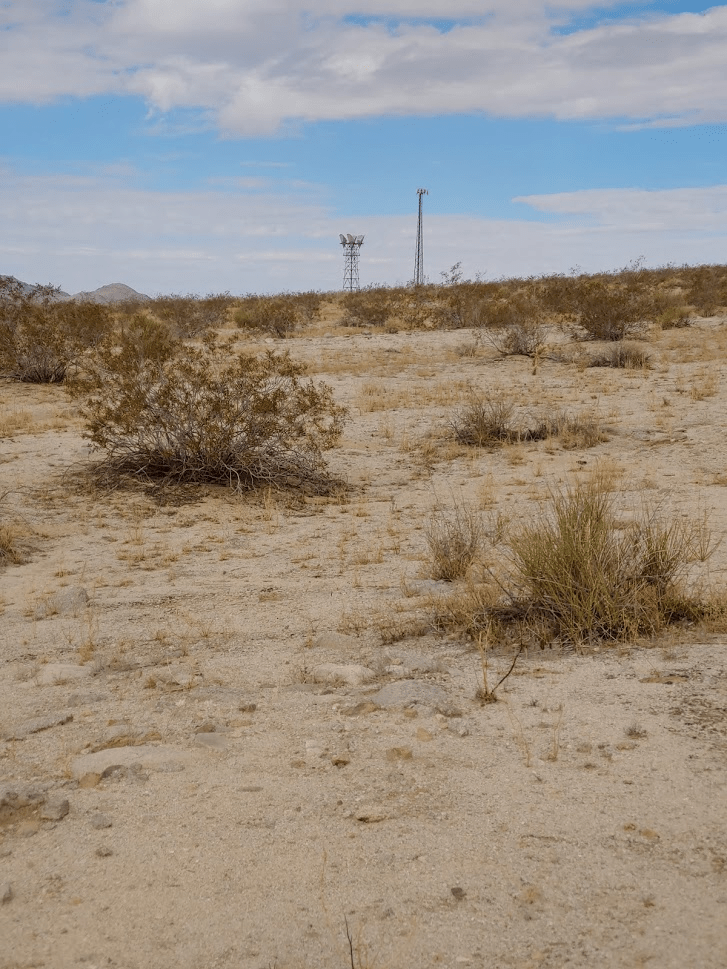
The food was decent especially for how cheap it was. I also got a foot long at Subway since I was still hungry, and I also filled up on gas and got some ice for the cooler. I actually had a reservation at Jumbo Rocks, one of the popular campgrounds in the middle of the park, but I decided to forgo it and instead camp near my destination for the following day, Sheep Hole Mountains High Point. The Sheep Hole Mountains are located outside the park, about 30 miles east of Twentynine Palms. I turned onto a dirt road off of Amboy Road and drove towards a microwave relay station. I parked just off the dirt road before reaching the station where I spent a very restful night in the back of my car again.
Day 3
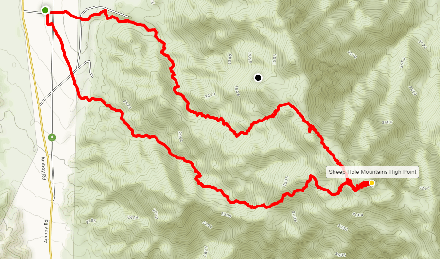
I woke up at 5:30am and quickly got ready. This morning’s hike was going to be a tough one and was certainly the one I was most excited about for the weekend. Sheep Hole Mountains High Point (4613 ft) is on the Sierra Club Desert Peaks list, as well as Andy Zdon’s desert peaks list. It has over 2000 feet of prominence and is the highest point within the federally designated Sheep Hole Valley Wilderness. The Sheep Hole Mountains are extremely rugged, and the route to the high point, while short in terms of mileage, is notorious for having very difficult terrain. I drove over to the microwave relay station where there is a large parking area to begin my hike. I started at 6:15am with just enough daylight.
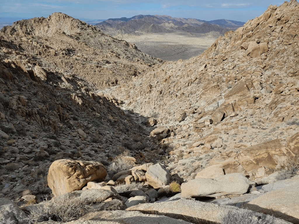
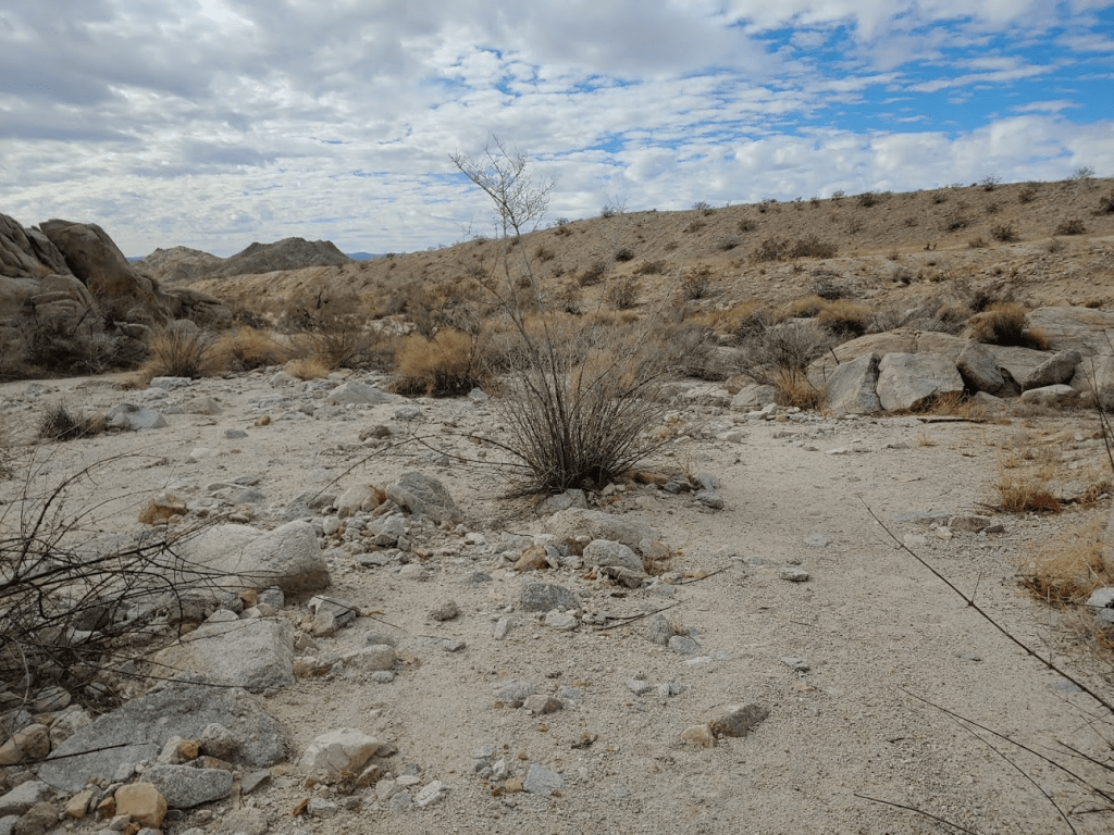
I walked a short distance across open desert to a wash at the base of the mountain. I dropped into the wash and started up a large canyon on the northwest side.

The canyon was very rocky from the start, and progress was slow.
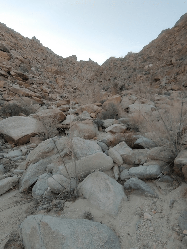
There were several dry falls to climb up.

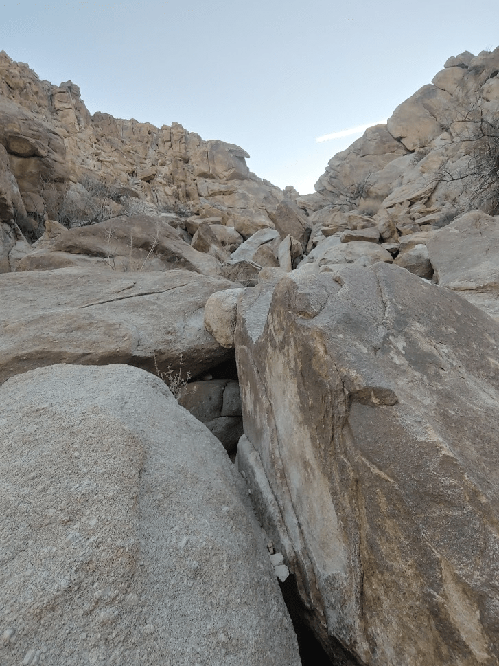
The boulders became larger as I went higher. Some serious scrambling was required.
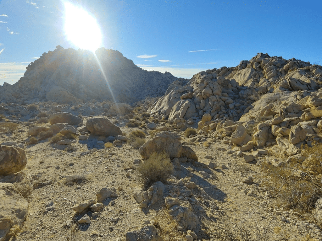
GPS was critical here. There were many side canyons that branch off every which way. It would be easy to get lost here. Eventually I climbed out of the canyon to a small plateau where the sun was beginning to poke out.
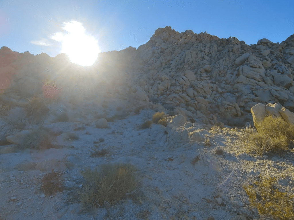
I hiked around on the side of a ridge and eventually emerged onto another plateau just below the summit.
I was only about 300 feet below the summit, but the hard part was just beginning.

Many of the boulders leading up to the summit were the size of cars, and it required scrambling over, around, and even under many of the larger ones.
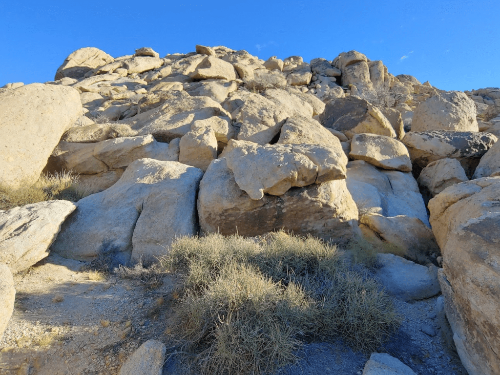
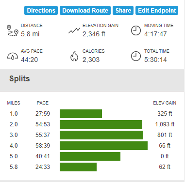
The summit block was a class 3 friction slab. I knew I could climb up it, but I was nervous about climbing back down. I found a ledge which could be downclimbed from the other side which made me feel a lot better. I finally reached the summit at 8:40am. It had taken nearly 2 ½ hours to go just 2.88 miles.
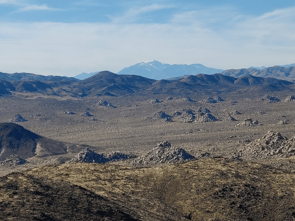
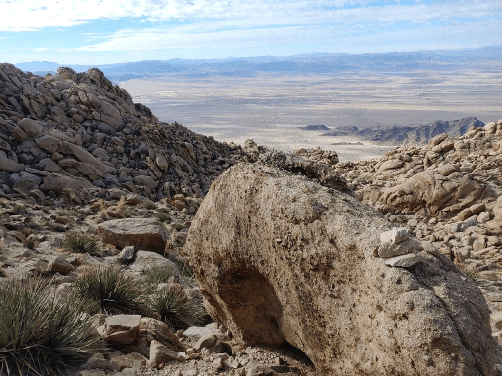
The views were spectacular in every direction. The Granite and Providence Mountains of Mojave National Preserve were visible to the north.

The jagged Coxcomb Mountains were visible a short distance to the southeast.

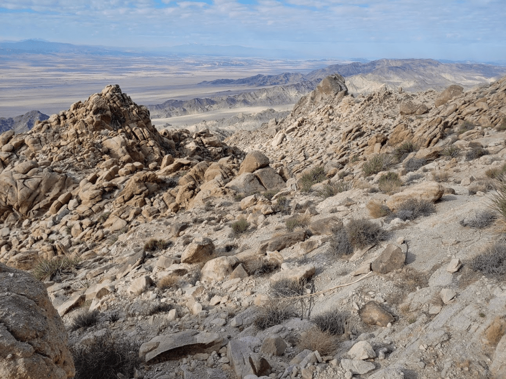
Many of the ranges of Joshua Tree were visible to the south and southwest.

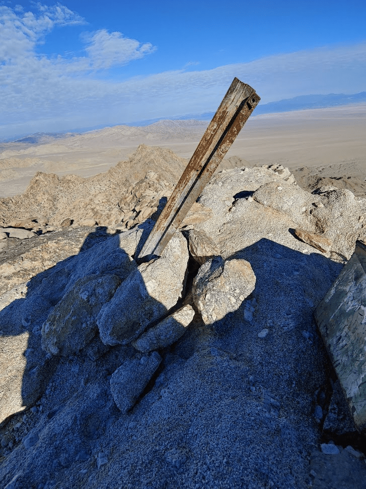
There are no USGS markers on the summit, just an old survey pole.
I signed the register which was kept inside an ammo container.

I rested for about 35 minutes before beginning my descent. I was able to climb down from the summit block using the ledge I had found earlier with no problem. Descending the 300 or so feet down to the plateau was just as difficult as coming up. A few class 3 moves were required to get around the large boulders.

I decided to take a different route down the mountain. After reaching the plateau again I started to head west.
I hiked down some rocky slopes.
I proceeded down a canyon on the right side. So far, the descent route was easier than the ascent route. Still a lot of scrambling and boulder hopping though.
About halfway down I was able to see the microwave relay tower where my car was parked.

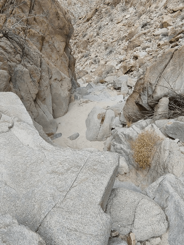
There were some really tricky sections in the lower half of the canyon, with some dry falls that needed to be climbed around.
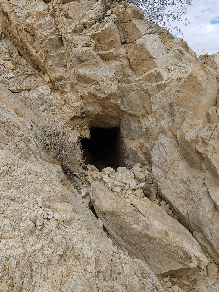
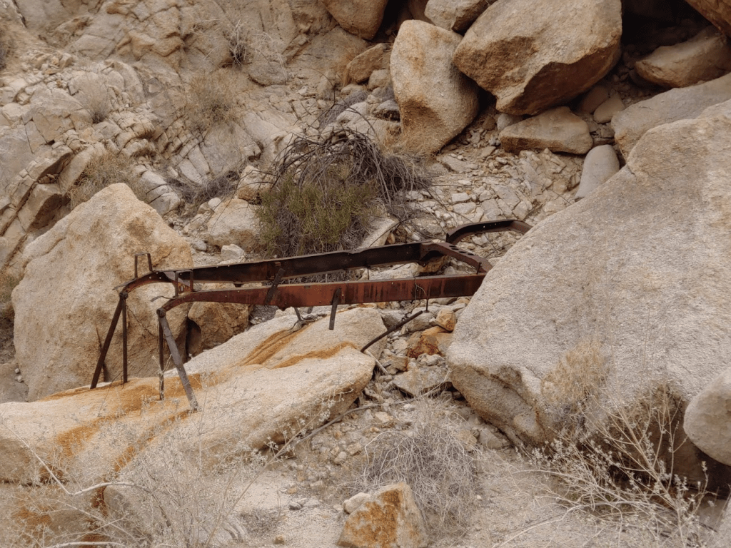
Towards the bottom I saw a mine shaft and some old rusty mining equipment.
I finally reached the wash at the mouth of the canyon at 11:32am.
I climbed out of the wash and started walking back to the car.
I finally reached the car again at 11:47. What a hike! The terrain was as difficult as advertised, and I felt a real sense of accomplishment. It was actually a lot of fun, and I never felt unsafe even on the class 3 sections. Totals for the hike were 5.8 miles, 2346 feet elevation gain, and 5:30:14 total time.
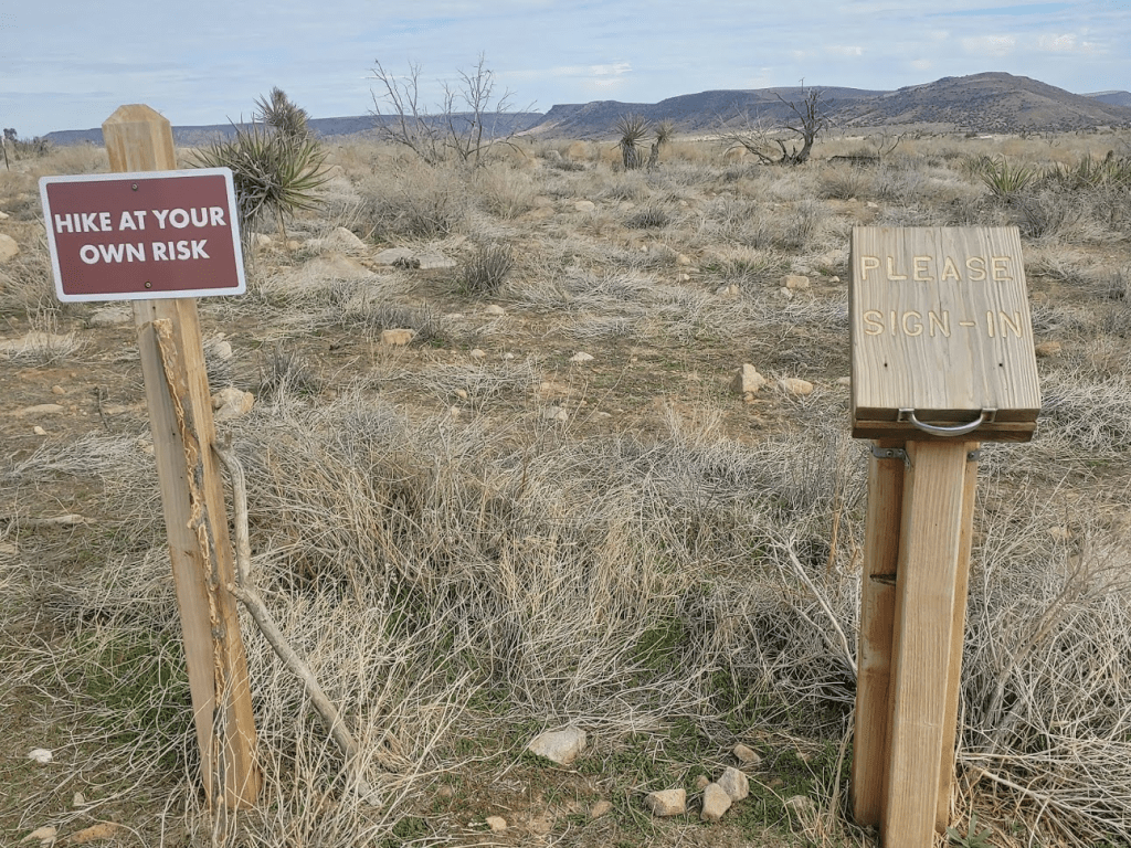
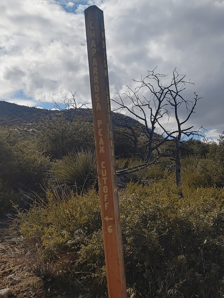
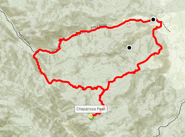
I was pretty exhausted at this point, but I had one more hike in me still. I had been considering doing Mount Mel and Keys Peak back inside the park, but that would require about a 9 mile hike on unfamiliar terrain. I wasn’t sure I had the energy, not to mention the daylight left to do all that. Instead I decided to do Chaparrosa Peak (5541 ft), which is a small mountain near Pioneertown about 15 miles northwest of Yucca Valley. The hike would be all on trail which would be a welcome relief after Sheep Hole. It could be done as a 6 or 7.5 mile hike depending on the route. Chaparrosa is on Zdon’s list as well as the Sierra Club Hundred Peaks section (peaks over 5000 ft). It took about an hour and a half to drive to the trailhead at the Pioneertown Mountains Preserve, which has a large parking area and even a small ranger station. The trail to Chaparrosa Peak begins in the overflow parking lot, where there is a sign-in sheet. I started hiking at 1:20pm.

It’s a pretty well-groomed trail.

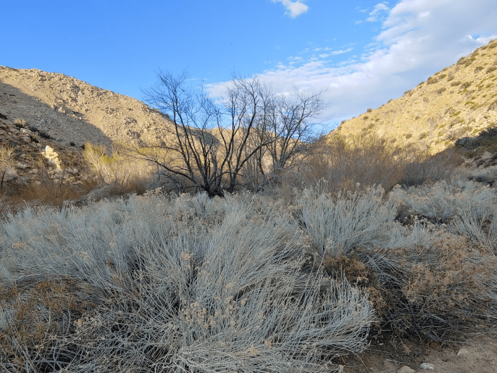
The scenery was quite a bit greener than your typical desert hike. Chaparrosa is pretty far west and might even be considered a foothill of the San Bernardino Mountains.

There were a few gates which had to be hiked around.

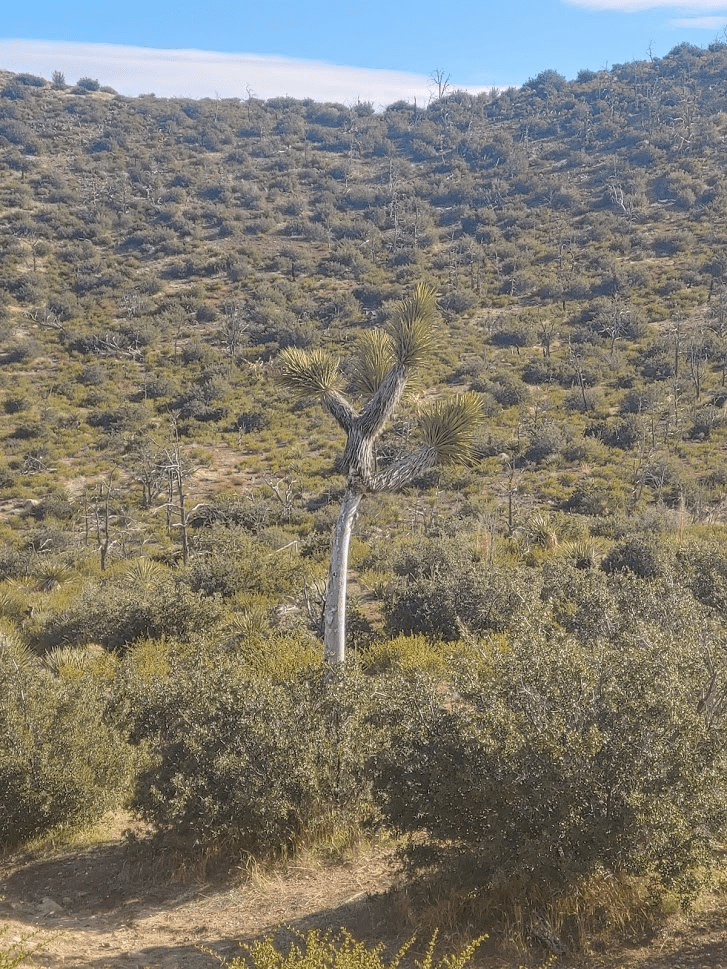
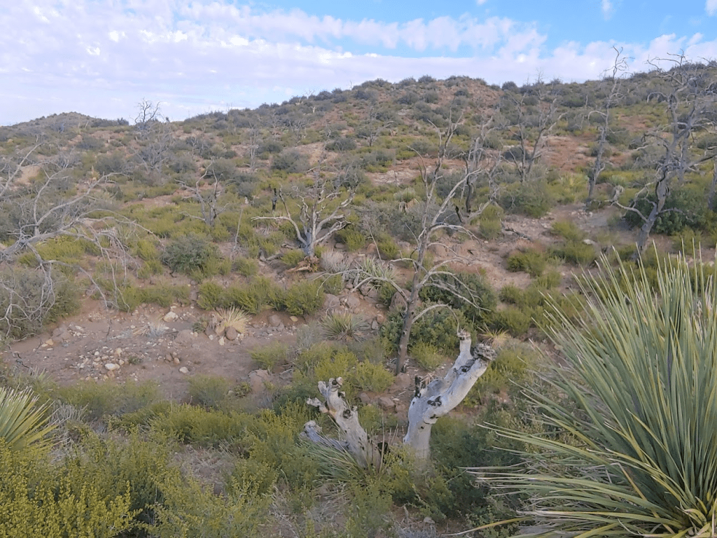
Most of the elevation gain occurs in the first half of the trail. The second half flattens out among some rolling hills. I noticed a few Joshua trees which looked like they were hanging on for dear life. This must be the very edge of their range.
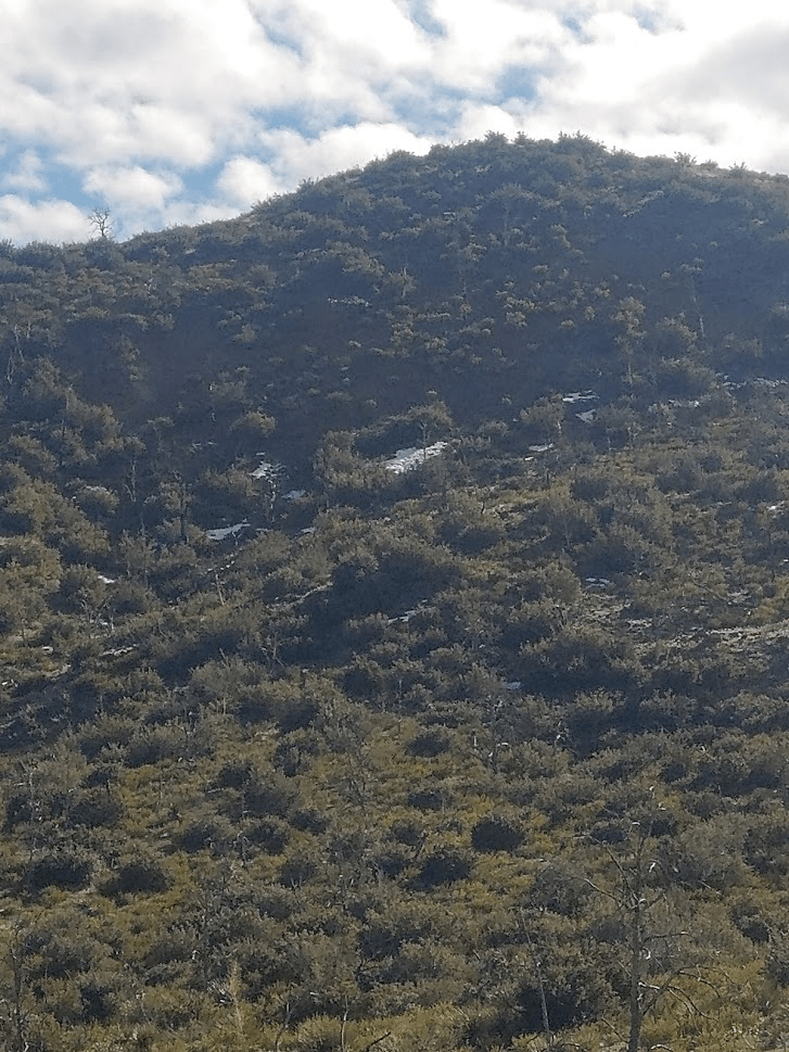
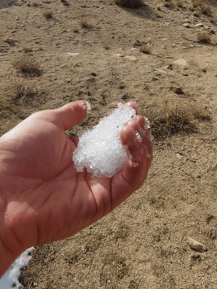
I noticed a few small patches of snow on some north facing slopes.
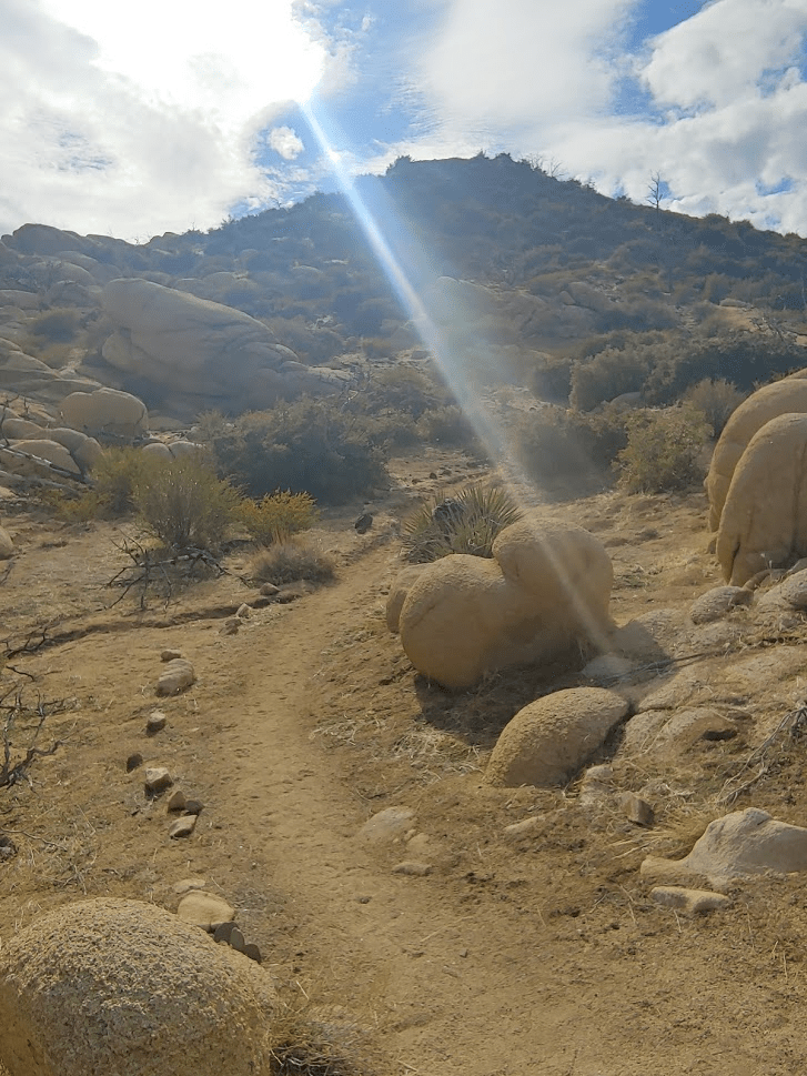
A spur trail branches off towards the summit from the main loop.
The summit was close.
Found some more snow!
I reached the summit at 2:22pm. It took just over an hour from the trailhead.
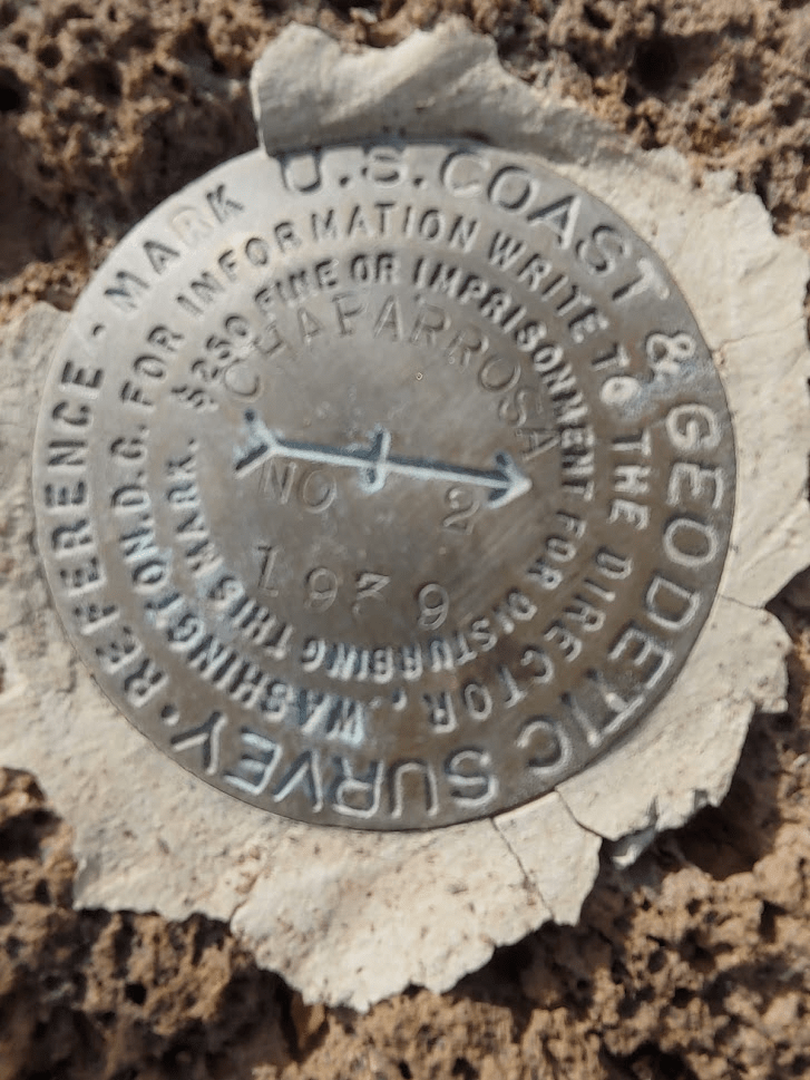
I found the benchmark and reference marker number 2. I could not find reference marker number 1.

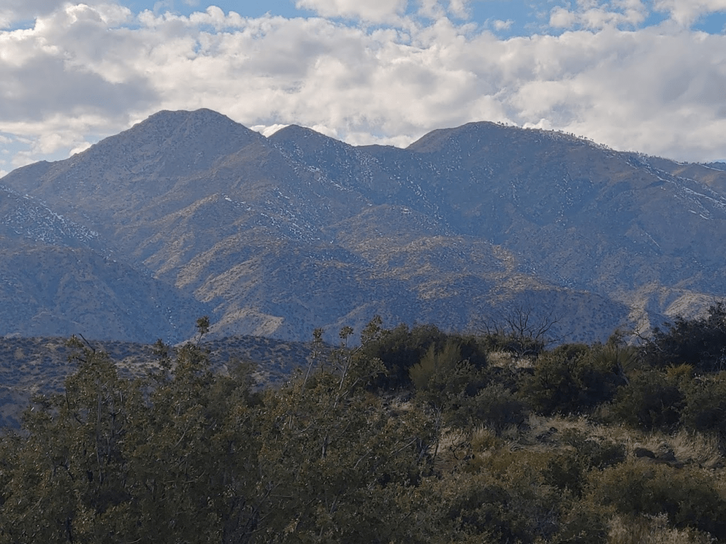
San Jacinto was hidden for most of the hike, and I didn’t realize how close I was to it until I could finally see it from the summit. From here the north face looked absolutely monstrous. It always blows my mind how large that mountain is. The summit was partially obscured by clouds.
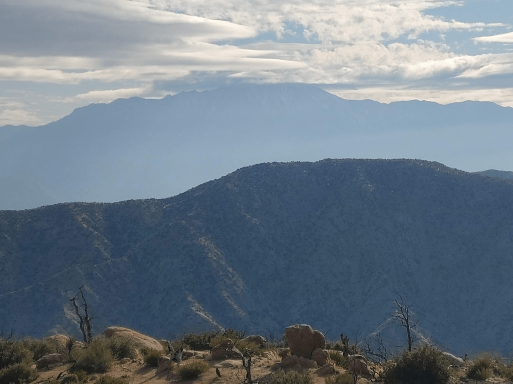
San Gorgonio was not visible behind its own foothills which had some snow on them.
A thin layer of haze made it difficult to see very far across the Mojave Desert to the north and east.

I could just make out the Sheep Hole Mountains through the haze to the east.

I rested for 30 minutes and then began my descent. I decided to complete the rest of the loop instead of returning directly to the trailhead. This probably added 1.5 miles to the hike.
I noticed some burned trees in the area.
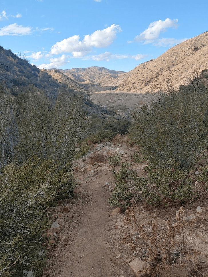
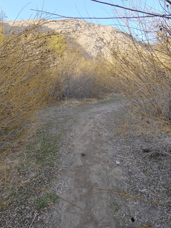
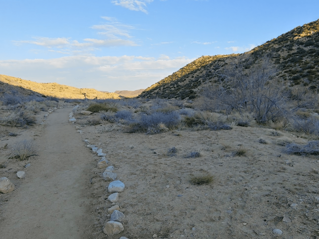
The trail then descends a drainage down into Pipes Canyon.
By now my feet were really starting to hurt. I was wearing brand new hiking boots and I hadn’t gotten a chance to break them in before the weekend. All the miles the last 2 days were pretty rough on my feet. Thankfully the last few miles through Pipes Canyon were pretty flat.

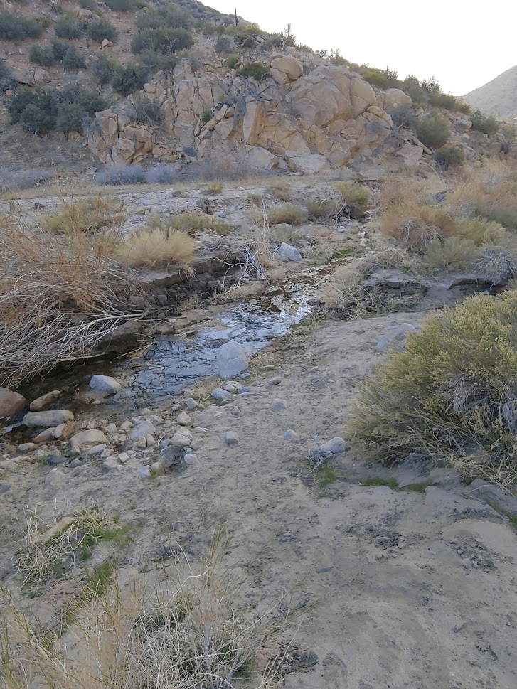
Pipes Canyon must be a major drainage for the San Bernardino Mountains. I was surprised by the amount of vegetation.
The trail crosses a creek a couple times.
By the last mile or so my feet were aching so bad. I found myself wishing I had taken the short route down, but in the end, I didn’t regret taking the scenic route through Pipes Canyon.
I finally reached the gate which marked the end of the trail.
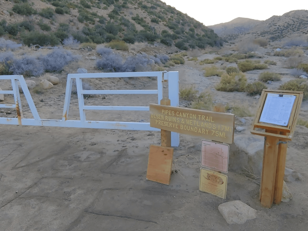
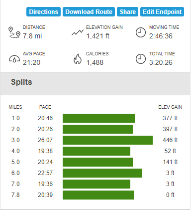
I reached the car finally at 4:40pm. Totals for the hike were 7.8 miles, 1421 feet elevation gain, and 3:2026 total time.
It was a relief to take my boots off at the end of the hike. I think I will really love them once they have been broken in properly. I certainly appreciated their excellent traction while scrambling up Sheep Hole Mountain earlier that day. It was about a 3 hour drive home to San Diego. I slept like a rock after another great weekend of desert adventures!
