Heart Bar Peak
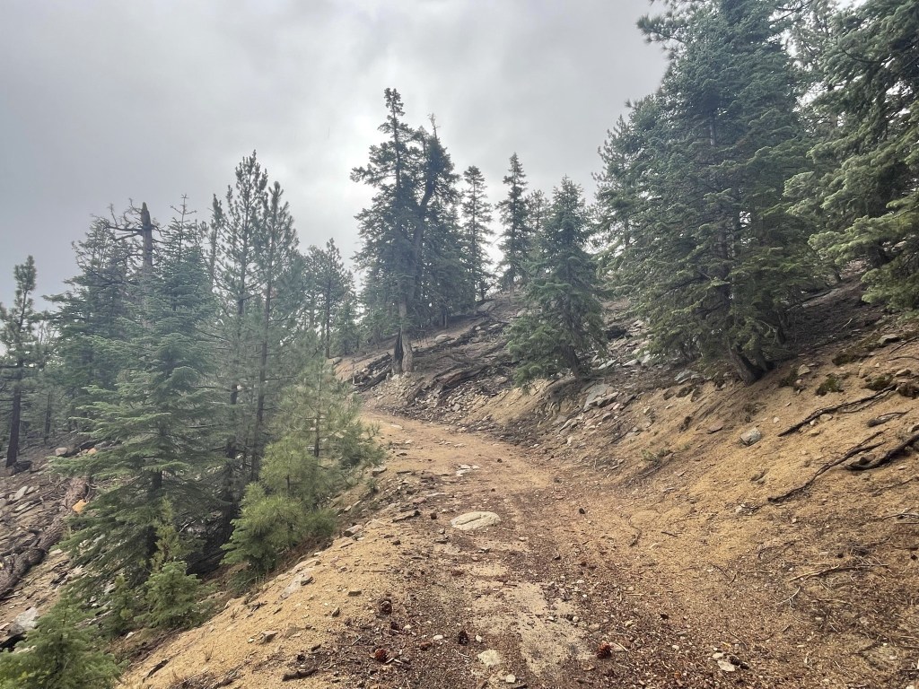
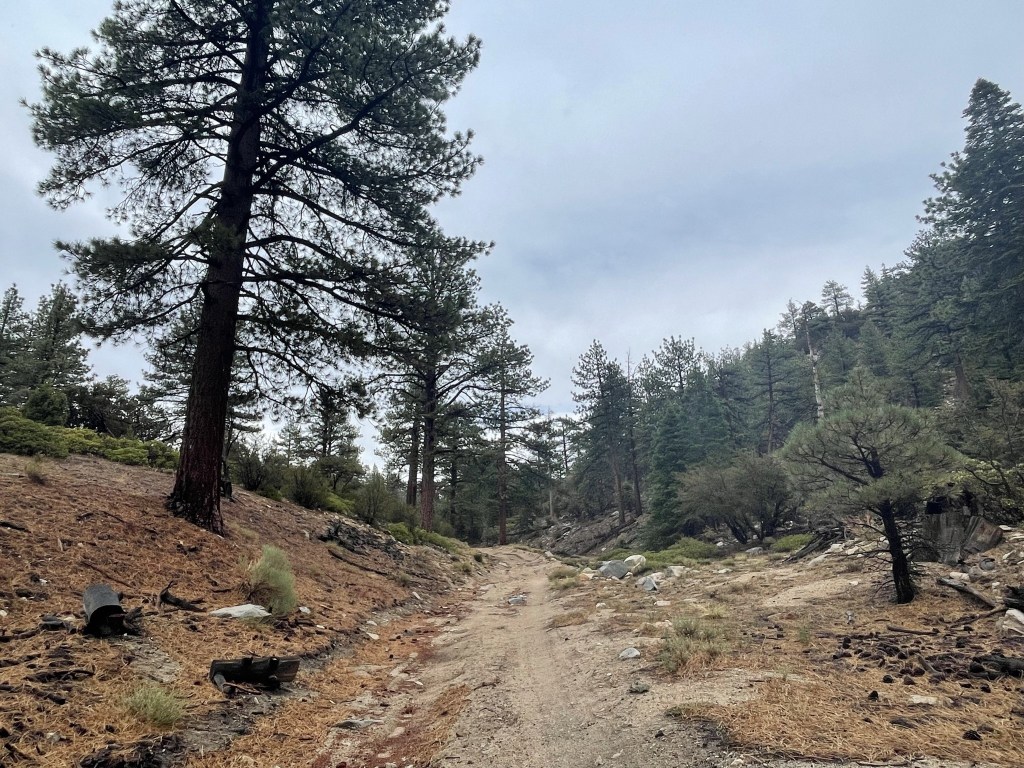
I had originally been planning a 3 day trip to the Sierra for this weekend, but a high chance of thunderstorms on Friday and Saturday caused me to change my plans. I decided to instead spend a short 2 day trip in the San Bernardino Mountains to climb some more HPS peaks in the area. I left San Diego at 7am on Saturday and made the 2.5 hour drive to the mountains. First up for the day was 8332 foot Heart Bar Peak, which lies just south of Highway 38 on the way to Big Bear Lake. From the highway, I drove a few miles past the turnoff for Heart Bar Campground, turned right onto a rough jeep trail, and then parked immediately. I began hiking on the jeep road at 9:56am from 7290 feet above sea level.
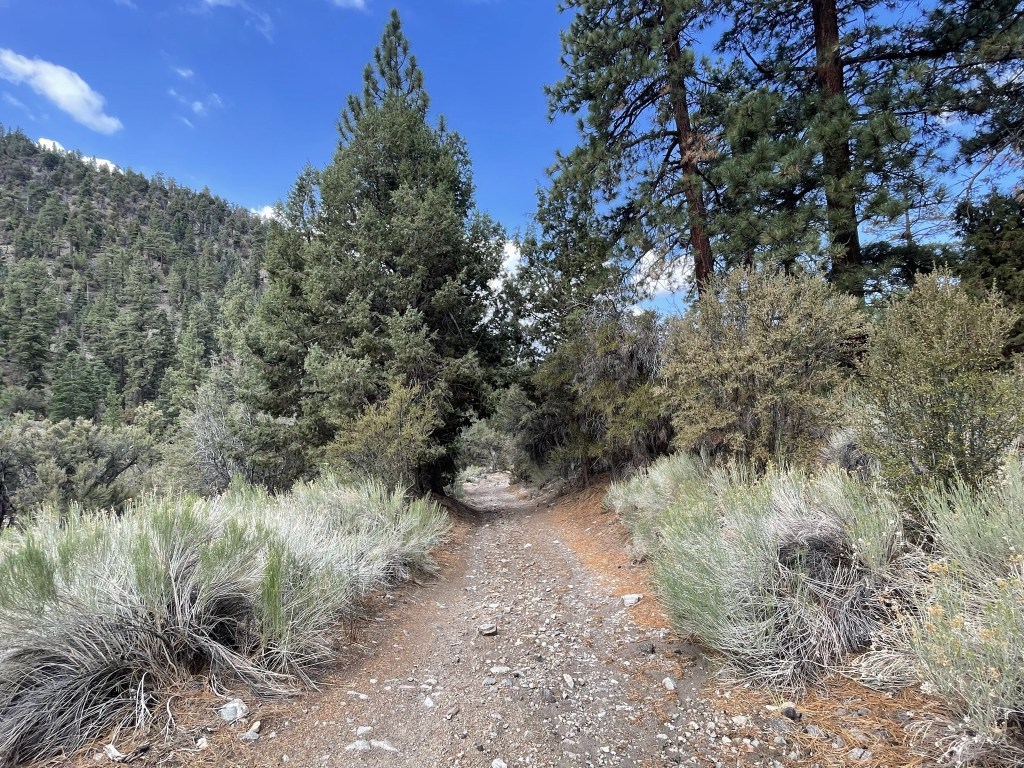
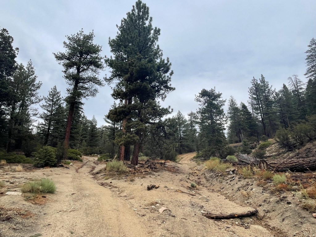
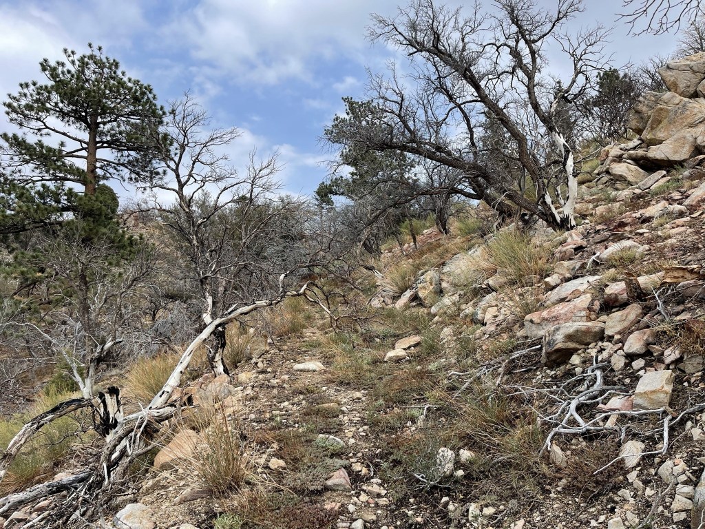
I followed the road west until it made a hairpin turn back to the east. Many peakbaggers stay on this road as it meanders up the hillside nearly all the way to the summit. I instead decided to hike straight up the ridge to the peak. I left the road at 0.2 mile and began the steep ascent.

The initial ascent up the ridge was very steep. The ground was covered in loose pine needles which made it slippery.

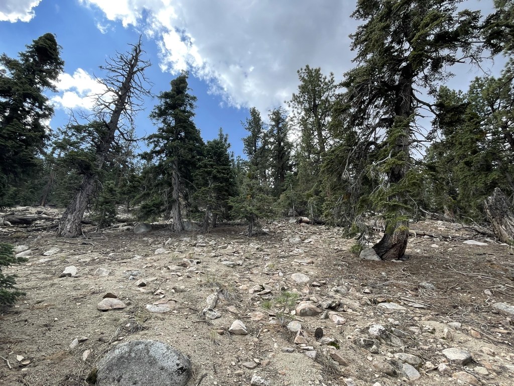
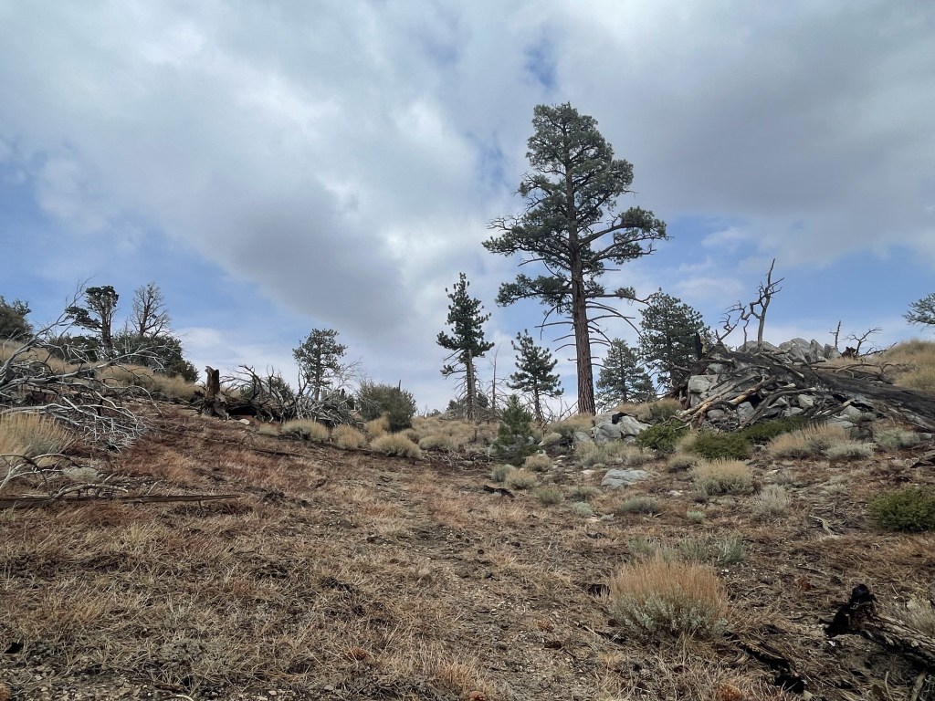
About 1/3 of the way up, the grade lessened, and I found some cairns I was able to follow.
Near the peak I crossed over the road again. The road is reportedly extremely rough and would be very difficult to drive up this far (most people walk it).
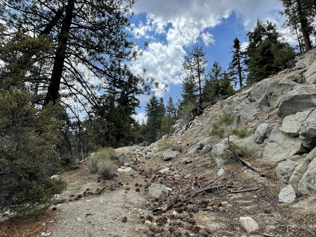
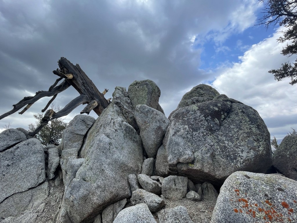
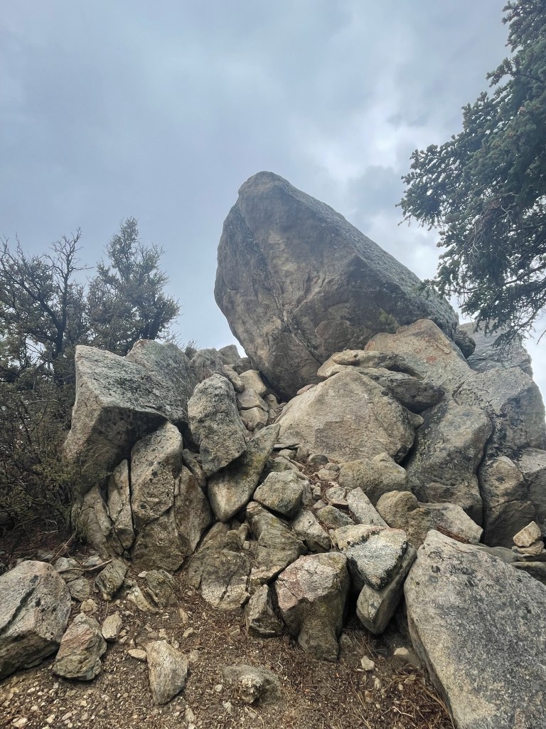
I continued past the road and soon reached the summit, which required an easy rock scramble.
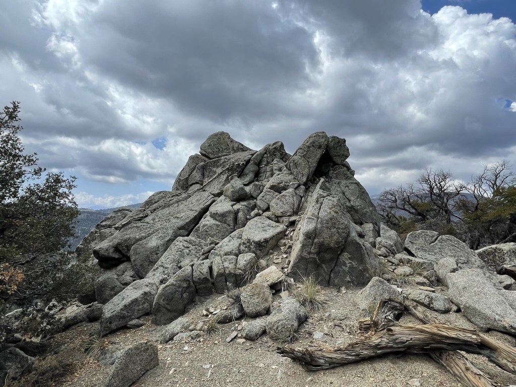
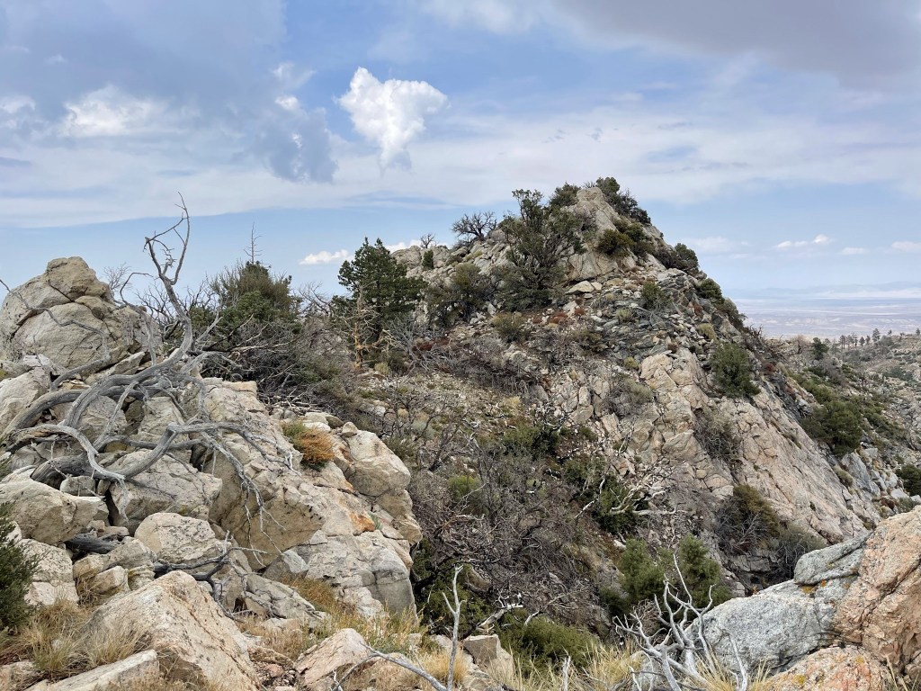
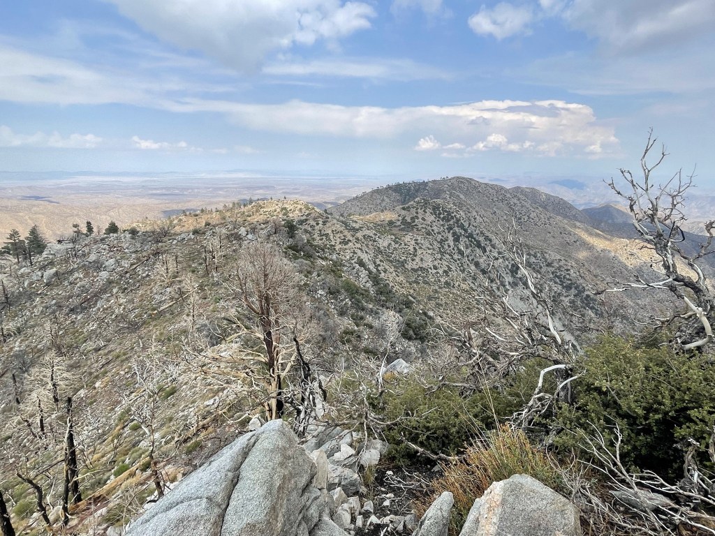
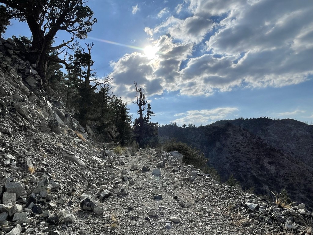
I reached the summit at 10:40am at 0.7 mile. I did not locate a register. To the south I could see San Gorgonio (left center) and Grinnell Mountain (center).

Before heading back down I decided to explore another pile of rocks to the northeast that I thought might be higher.
I found a register tucked into the rocks, so I figured this was the true summit. The register dated to 2018 and was most recently signed on July 17. There was also an older register book that dated back to 1992. Once I was done there, I retraced my steps down the ridge.
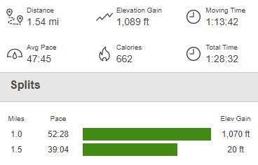
I made it back to the car 11:25am. This hike totaled 1.54 miles, 1089 feet elevation gain, and 1:28:32 total time.

Wysup Peak and Three Sisters
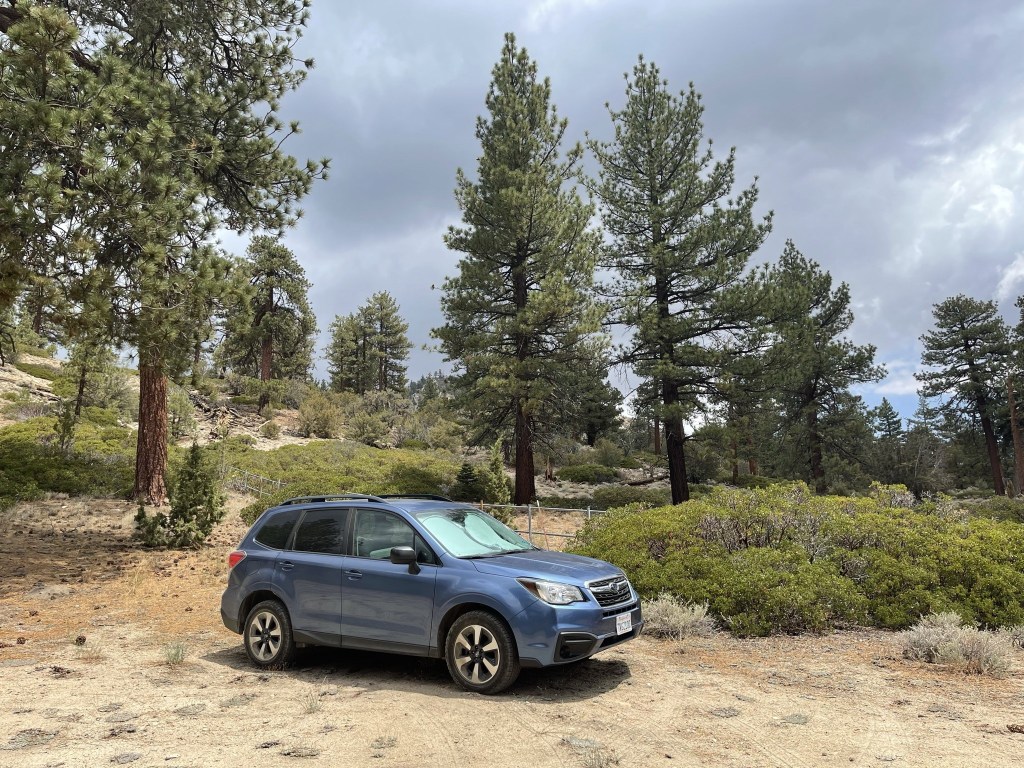
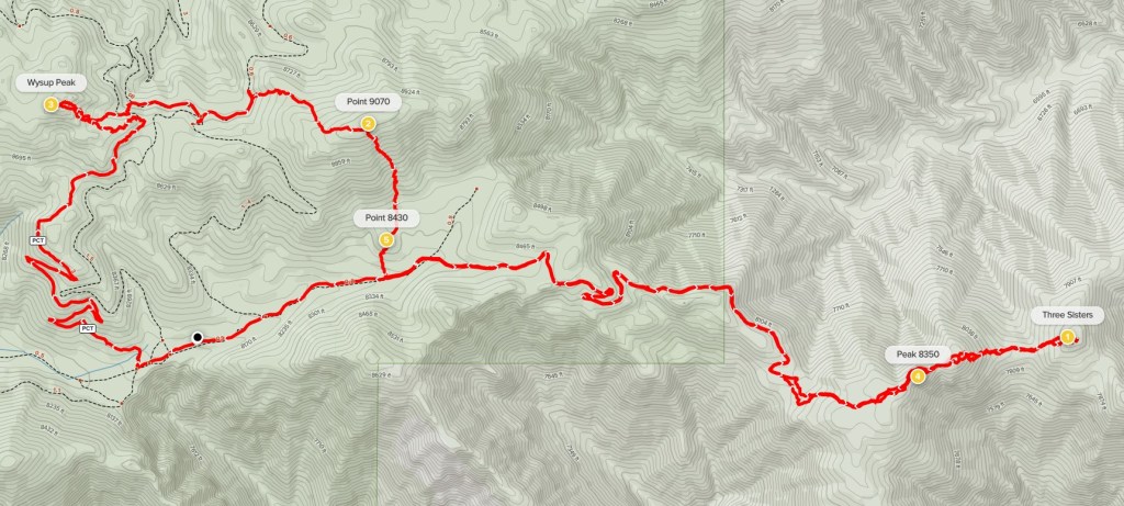
Next up were 2 more HPS peaks in the area: Wysup Peak (8990 feet) and Three Sisters (8100 feet). I drove a few miles west on Highway 38 and then turned left onto Forest Road 1N02. I went past Heart Bar Campground and then drove about 4 miles east to Coon Creek Jumpoff where the road is gated and locked. The road was a little bumpy but should be okay for a passenger car. I started this hike at 12:09pm from 8124 feet above sea level.
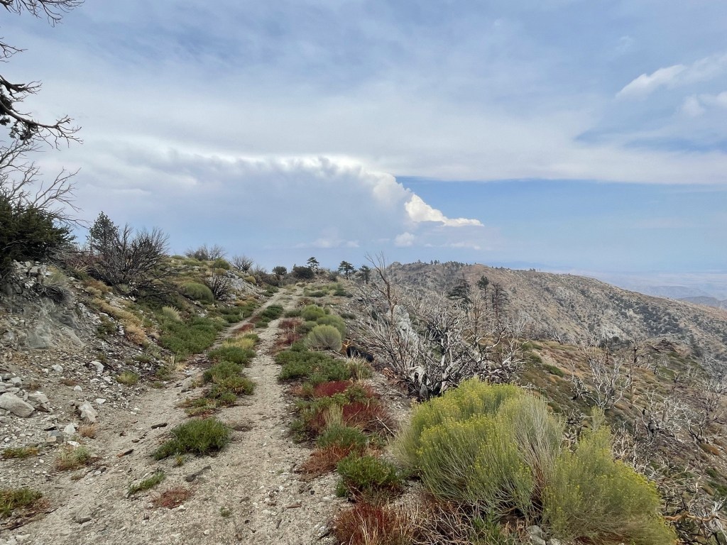
This is the usual starting point for Three Sisters. The standard hike is to follow the road past the gate for 3.5 miles and then proceed cross country for about a half mile to the peak. Wysup Peak is typically accessed from the north, but it was only about 2 miles away along the PCT, so I decided to combine the 2 peaks into one hike. I backtracked a short way along the road and reached the PCT at 0.2 mile.

The trail made a few switchbacks up the hillside. The sky was starting to darken, and I felt a few sprinkles.

It started to rain a little heavier and I heard some thunder in the distance. At 2 miles I left the PCT and started hiking west towards the peak.

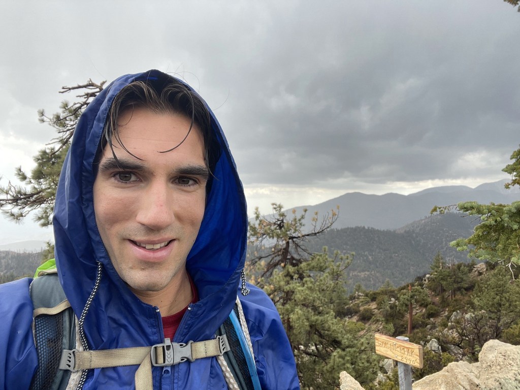
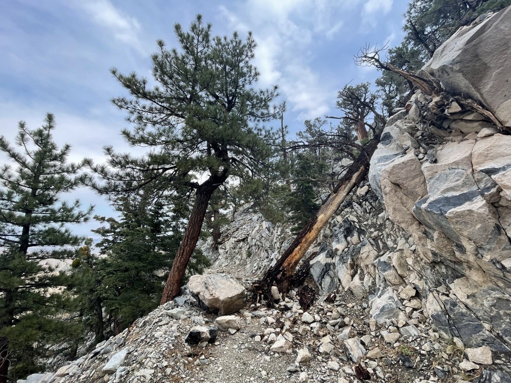
Soon it started hailing and the thunder was getting louder. Lightning flashes followed after that, so I decided to hunker down and wait out the storm. I wasn’t too concerned since I didn’t see any ground strikes, plus I was in a densely wooded area nowhere near the tree line. However, I knew that the rocky summit of Wysup Peak would be pretty exposed, and I thought it best to wait just below the top for the storm to abate. I found a large rock overhang that I was able to sit underneath and stay relatively dry. After about 20 minutes, the lightning stopped so I decided to continue. There was still some thunder and rain, but the worst appeared to be over.

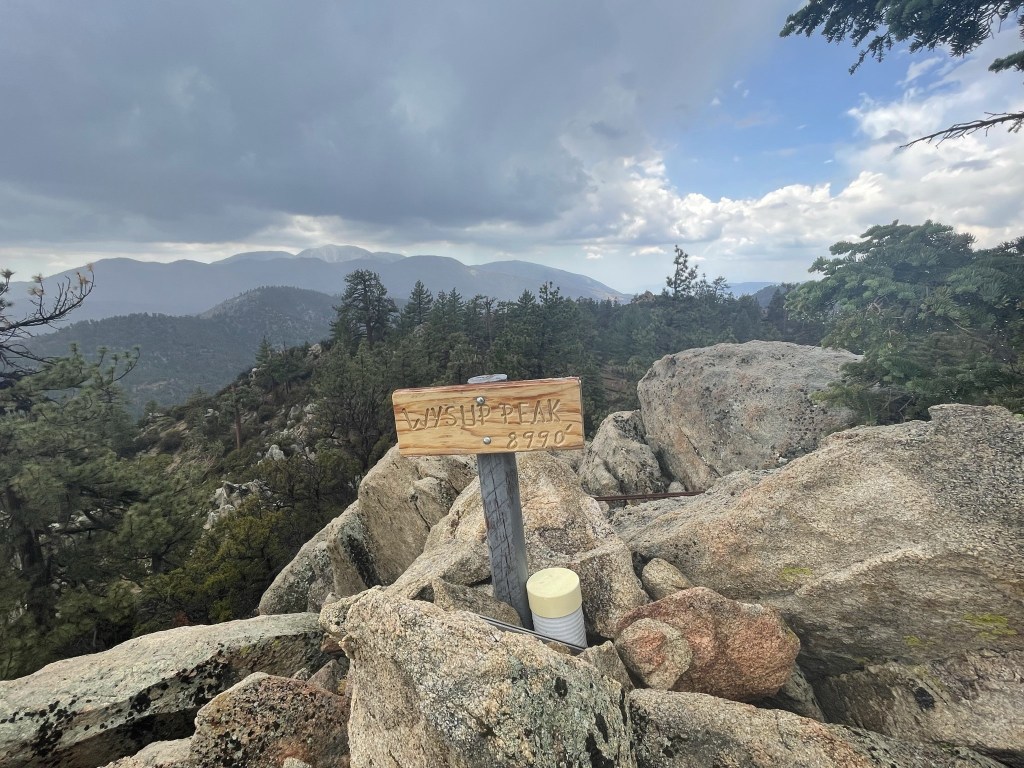
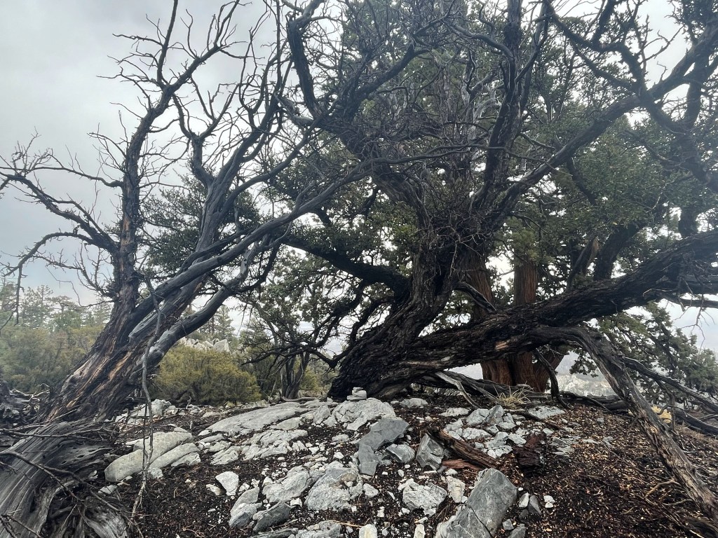
I scrambled up the rocky summit.
I reached the summit at 1:38pm at 2.5 miles!
I signed the register which dated to 2019. The previous entry was from July 29. There was a cool sign on the summit.
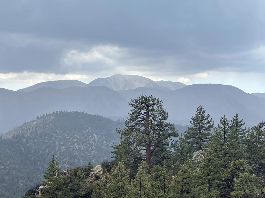
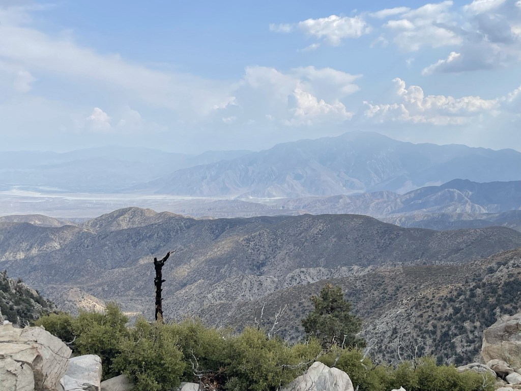
San Gorgonio looked impressive to the south. I was glad I wasn’t up there in this storm.
I could see Sugarloaf Peak to the northwest.

I climbed down from the summit and made my way east towards the PCT again. I crossed over the PCT and reached a 4WD road at 2.8 miles. I had noticed a 4WD road on the map that seemed to go back down towards Forest Road 1N02, but slightly east of the PCT which would put me closer to Three Sisters. It was still raining pretty good.
I walked on the road for about a half mile before it turned north and I realized it was not the correct road. I decided to head south cross country to get back on track.
I climbed up a forested hill and went up and over spot elevation 9070. A small cairn marked the spot.
I then descended south from Point 9070. The south-facing hillside was much brushier which was a pain.
On the way down I climbed up a small hill with spot elevation 8430. A much larger cairn was present here.

I descended from the hill and finally reached Forest Road 1N02 again at 4.4 miles. I was about a half mile east of where I started.
I started hiking east towards Three Sisters. It stopped raining finally so I was able to take off my rain jacket. At 4.5 miles I went right at a fork.
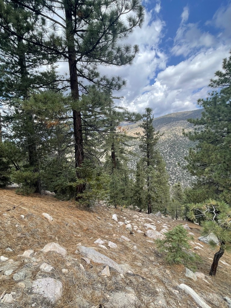
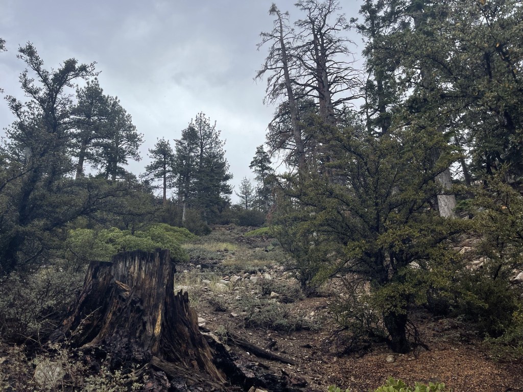
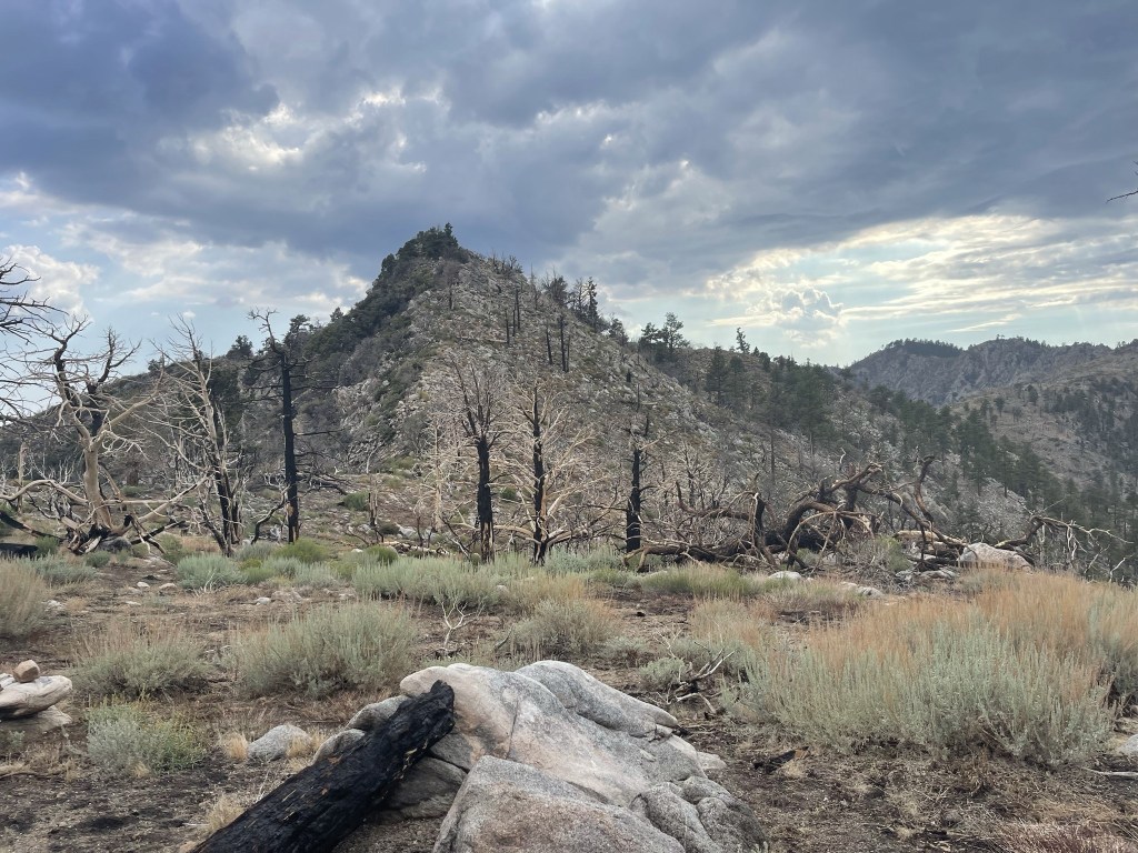
The trees started to thin out as I hiked east. The area appeared to have burned at some point in the recent past, plus I was moving towards the eastern edge of the mountain range which is a transition zone between mountains and desert.
At 5.6 miles I hiked past what I think is a small weather station.

The road deteriorated as I went further. There were numerous boulders and fallen trees blocking the way.
The road was very overgrown when I neared the end of it.
At 6.3 miles the road faded, and I proceeded cross country.
I found the old road bed again a short way up the hill, but it was barely distinguishable from the surrounding terrain. It quickly faded again and turned into a single track trail. I climbed up a ridge as I neared an unnamed peak of elevation 8350.
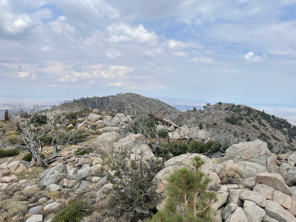
I reached the top of Peak 8350 at 3:44pm at 6.8 miles. I had a good view of San Gorgonio to the west:
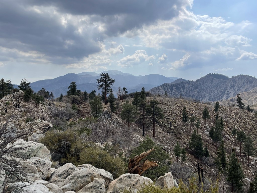
East: the ridge continuing to Three Sisters
After a short break I climbed down to the saddle and then made the steep ascent to Three Sisters.

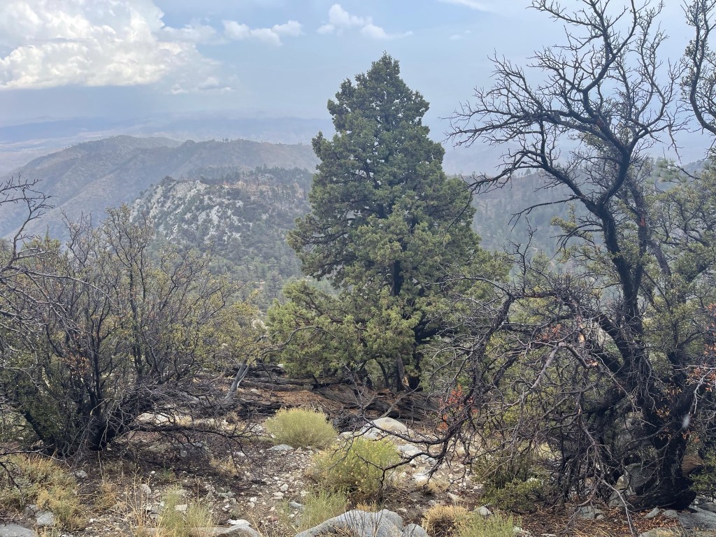
I reached the top at 4:08pm at 7.3 miles! While I was on the summit, I figured out that I was not actually standing on Three Sisters. I read some old trip reports and learned that the 3 peaks are located about a mile east, but the HPS summit was moved to this peak in 2001 due to private property concerns. I located a register can but unfortunately it was jammed shut so I was unable to sign it. It was still pretty cloudy which obscured the views somewhat. I could see San Jacinto to the south.
And the real Three Sisters to the east:
To the north I could see additional foothills as well as the Ord Mountains in the distance.

I took a nice break and then began retracing my steps. I was able to sidehill around Peak 8350 this time.
I reached the road again at 8.5 miles.
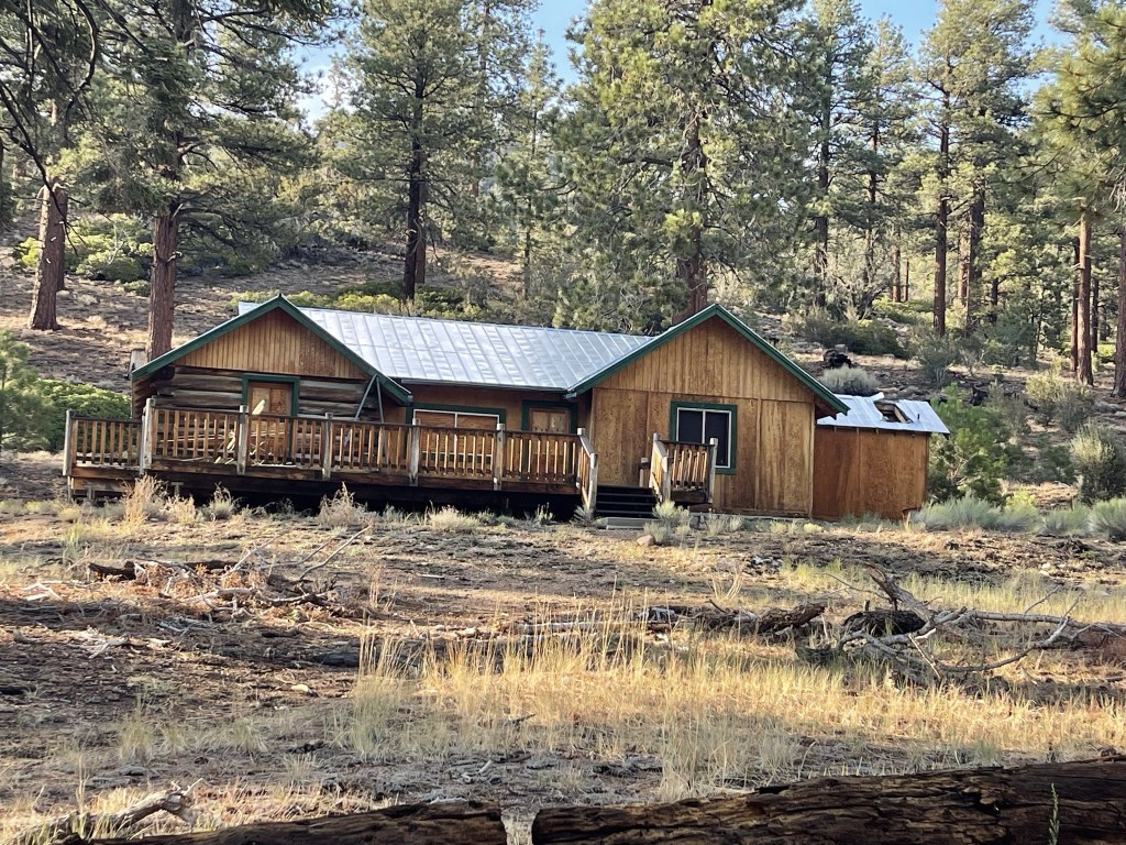
From there it was an easy walk back to the car. I passed by an old log cabin near the end.
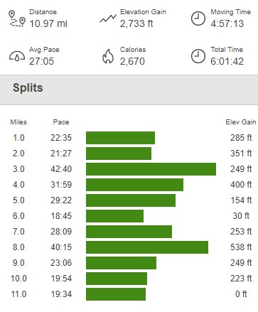
I reached the car once more at 6:11pm. This hike totaled 10.97 miles, 2733 feet elevation gain, and 6:01:42 total time.
I packed up and drove to the Fish Creek Trailhead, where I planned to start from the next day. It was a long 11 mile dirt road drive – 4 miles back towards Heart Bar Campground, and then 7 miles south on Forest Road 1N05. Again, the roads were bumpy but you could probably make it in a sedan. I arrived at about 7:45pm, relaxed for a bit, and then went to sleep early.
