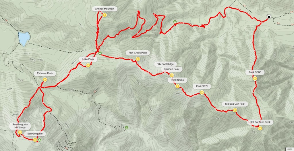
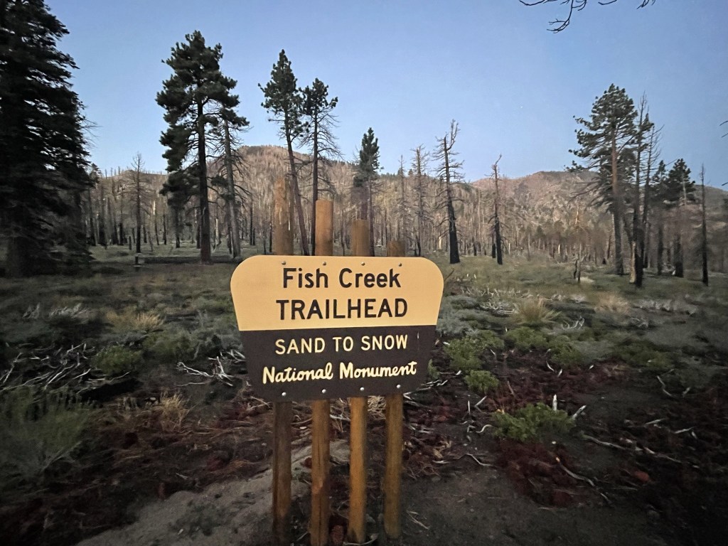
My plan for the day was to climb 3 peaks on the north side of San Gorgonio: Grinnell Mountain (10284 feet), Lake Peak (10161 feet), and Ten Thousand Foot Ridge (10094 feet). The 3 peaks lie within the San Gorgonio Wilderness; a wilderness permit is needed as of September 2020. The permit was easy to obtain on the San Gorgonio Wilderness Association website. There were ample permits available for every trailhead except for Vivian Creek (by far the most popular route up San Gorgonio). I secured my permit for the Fish Creek Trailhead, and I had driven in and slept there the night before. There is a long and bumpy 7 mile dirt road to reach the trailhead from Highway 38, but the road is in good shape and likely okay for a passenger car. I began hiking at 5:38am from 8080 feet above sea level.
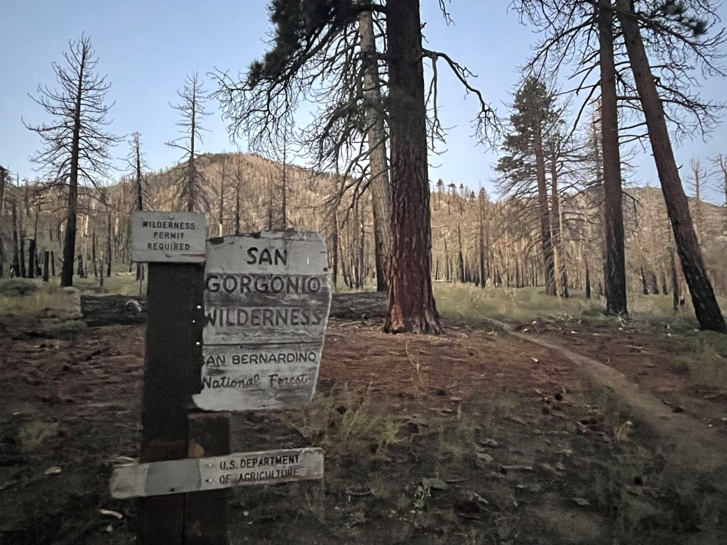
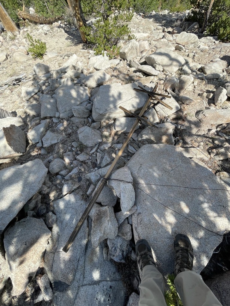
I passed the wilderness sign right away.
The easiest way to do this hike would be to simply hike 5 miles up the trail to Fish Creek Saddle. The 3 peaks are all a short climb from the saddle. Instead, I decided to climb directly up a ridge to Hell for Sure Peak (9920 feet), and then do the full Ten Thousand Foot Ridge traverse over to Fish Creek Saddle, climbing 6 other Peakbagger peaks along the way. I left the trail at 0.2 mile.
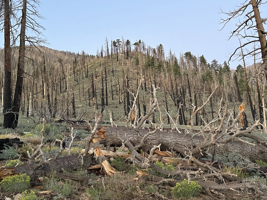
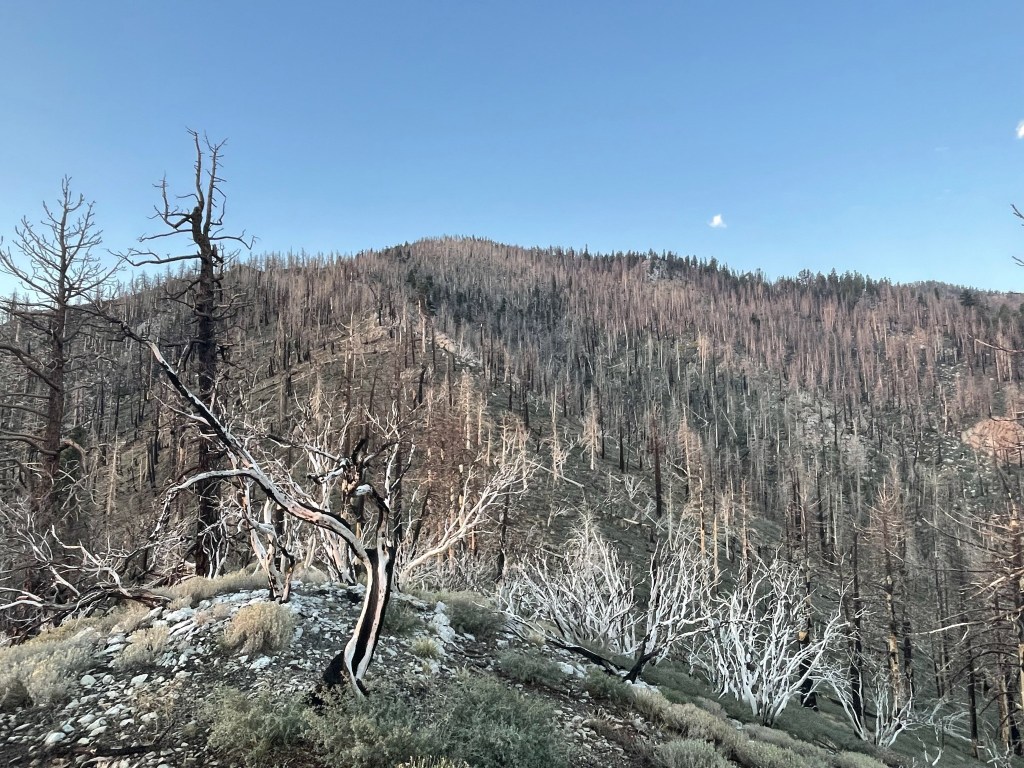
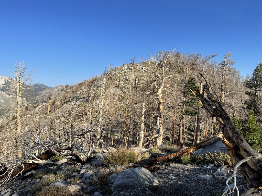
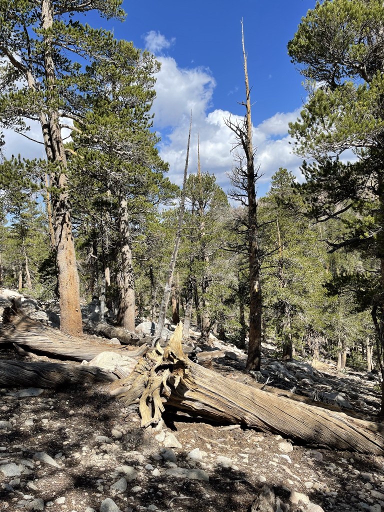
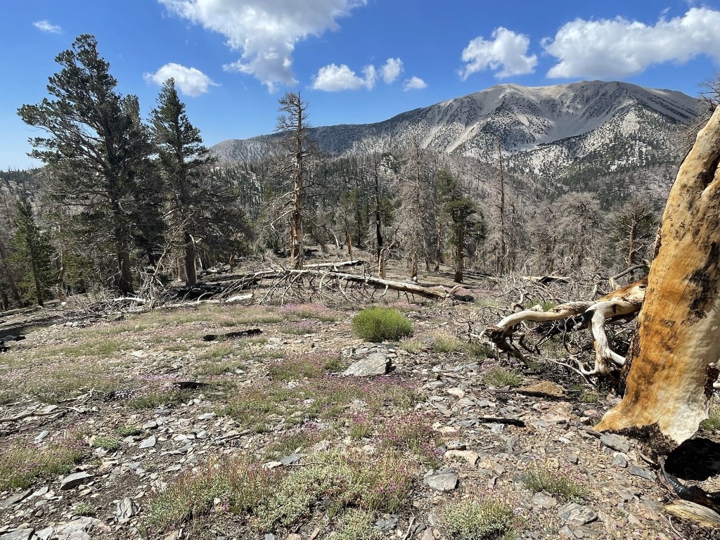
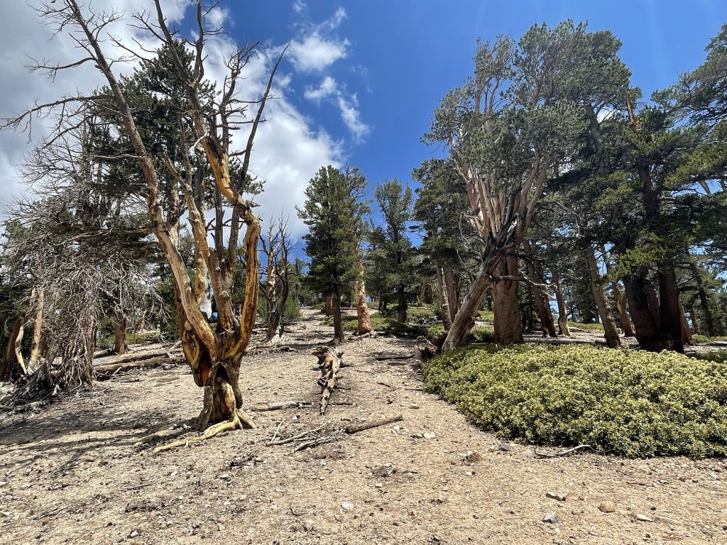
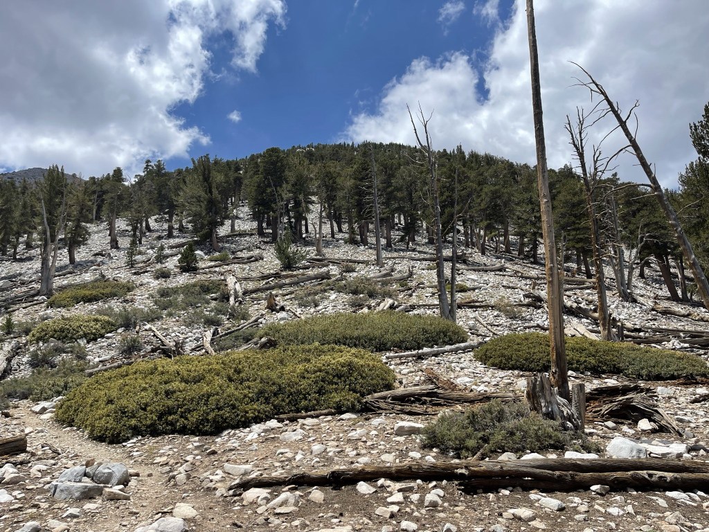
Unfortunately, the north side of the San Gorgonio Wilderness burned pretty badly in the 2015 Lake Fire.
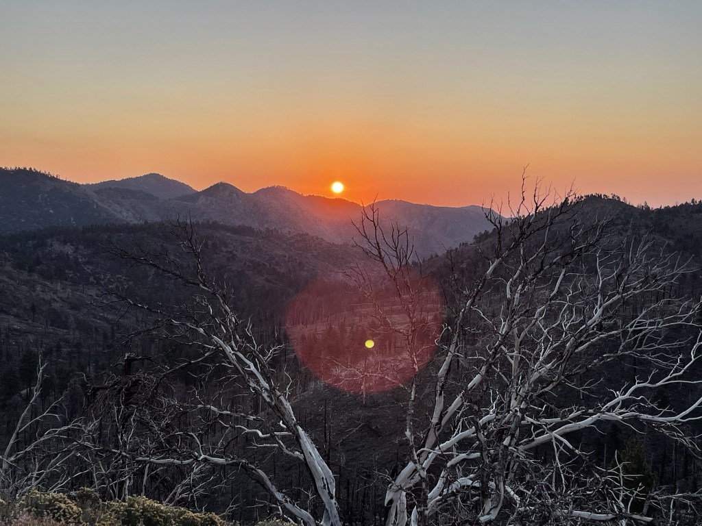
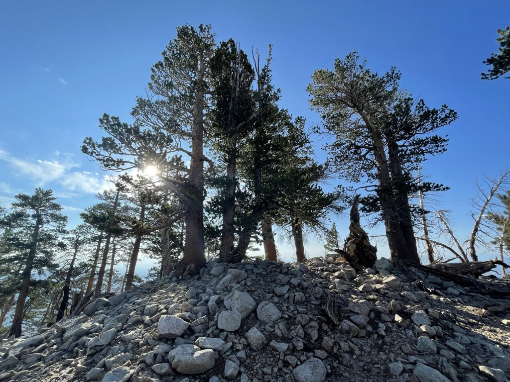
It was steep going up the ridge. There was some brush to contend with, but it was mostly ankle high and spaced out well enough. At 6am, the sun appeared above the distant ridges to the east.
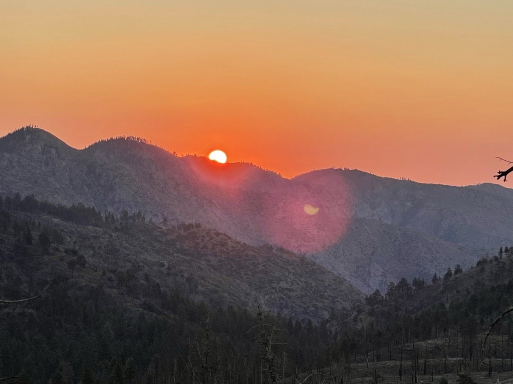
I stopped to admire it for a little while.
At 1.2 miles I reached Peak 9580, a small prominence on the ridge leading up to Hell for Sure Peak.

I descended to a minor saddle and then began the final climb to Hell for Sure Peak.

I reached Hell for Sure Peak at 7:30am at 2.1 miles. I had ascended nearly 2000 feet already. I signed the register which had previously been signed on July 23. The earliest entries were difficult to read but I think it was placed in 2003.
I then turned northwest to begin the full traverse of Ten Thousand Foot Ridge. There were 6 peaks I would climb along the way to Fish Creek Saddle, each with a minor 100-300 foot drop in between.
I reached Tea Bag Can Peak (9884 feet) at 2.6 miles. I had a great view of San Gorgonio.
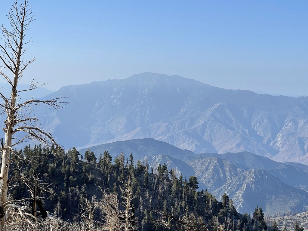
San Jacinto also looked impressive much further away.
I reached Peak 9971 at 3.5 miles and Peak 10055 at 3.8 miles. There was a can on Peak 10055 but no register inside. I spotted 2 deer in between the 2 peaks but they were too quick for me to get a photo.

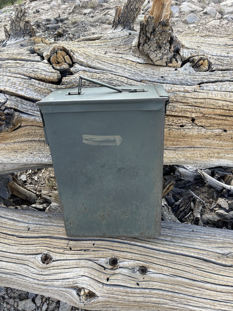
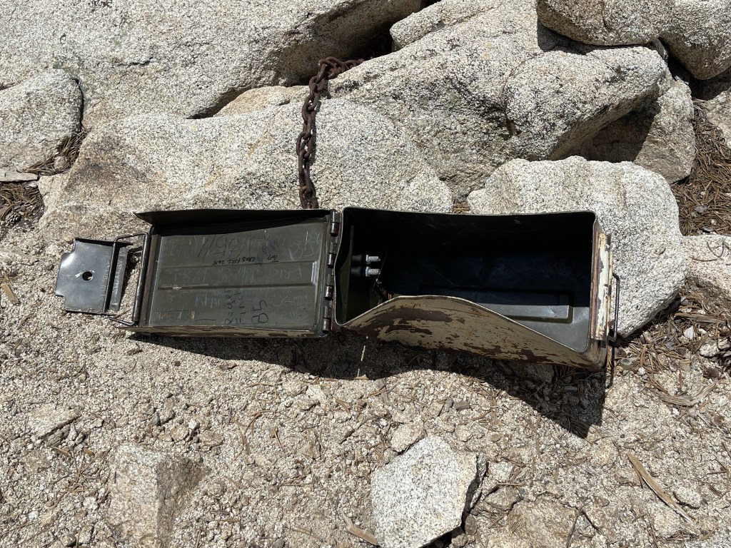
I continued on and reached Carmen Peak (10075 feet) at 4 miles. There was a register inside a large ammo container. It was placed in 2008 and most recently signed on July 25. The first entry indicated that the peak was named for someone’s mother who had passed away.
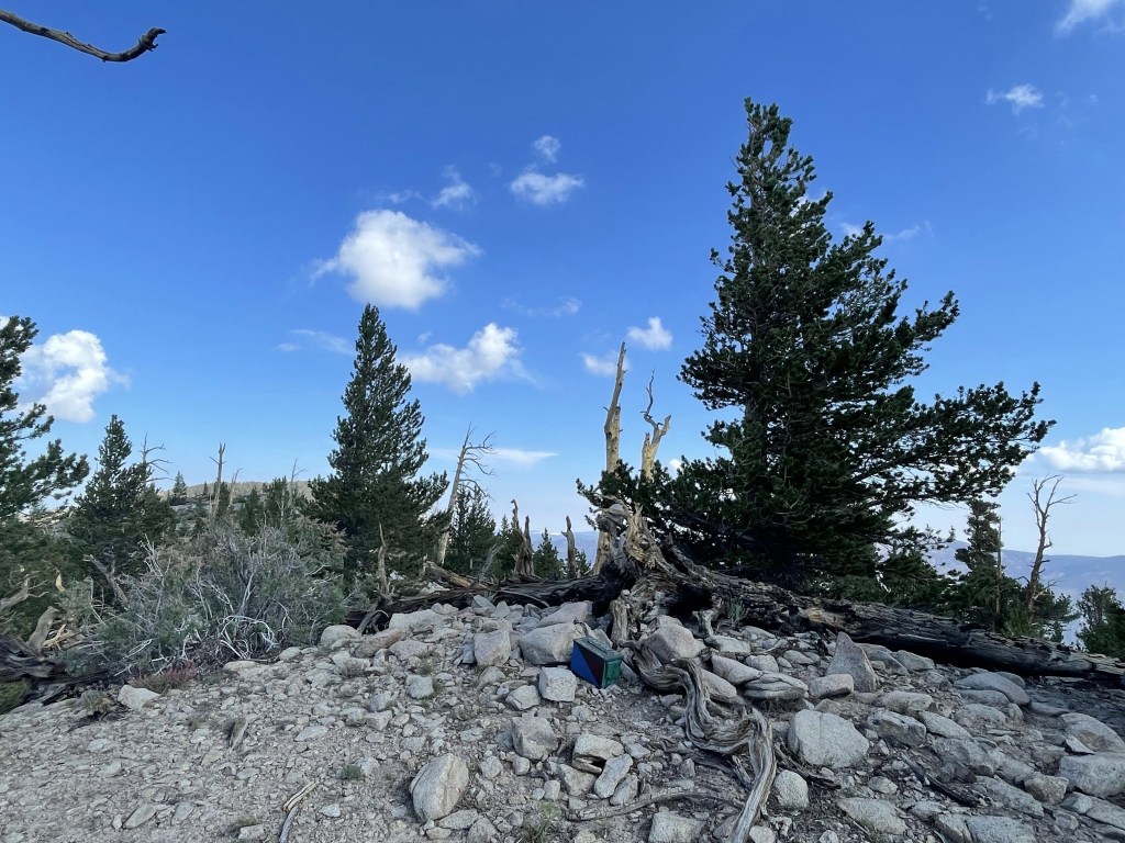
From Carmen it was a very short hike to Ten Thousand Foot Ridge, which I reached at 4.2 miles. This one had a massive container with just a tiny memo pad for a register inside. It was placed in 2020 and most recently signed on July 25.
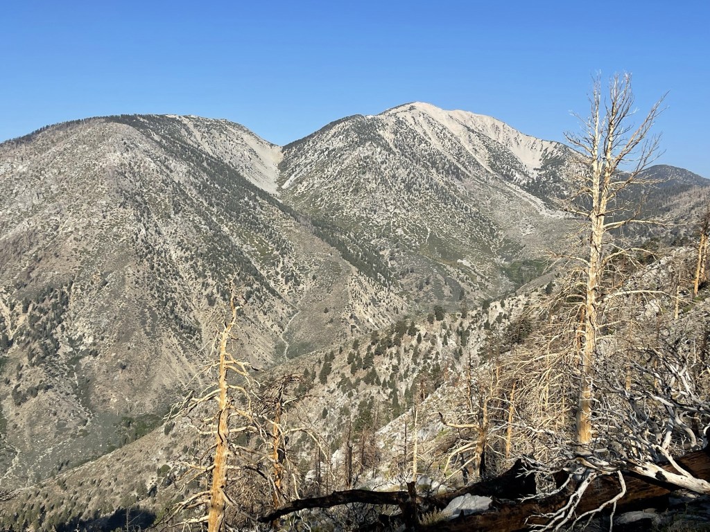
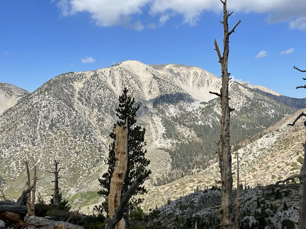
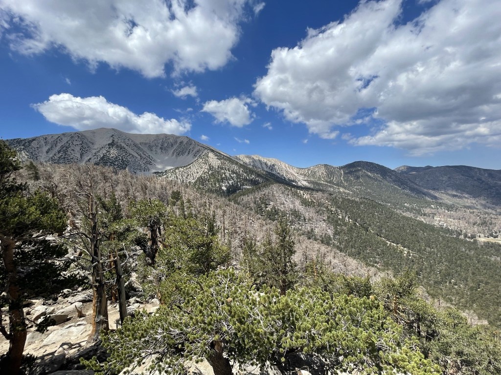
The views were pretty nice. San Gorgonio looked more impressive as I got closer to it.
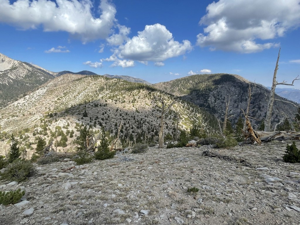
I then descended to another saddle as I approached the other 2 HPS peaks for the day: Lake Peak (left) and Grinnell Mountain (right).
At 4.8 miles I reached Fish Creek Peak (9942 feet). I found some old survey junk on this peak.
From there I did some side hilling to Fish Creek Saddle.
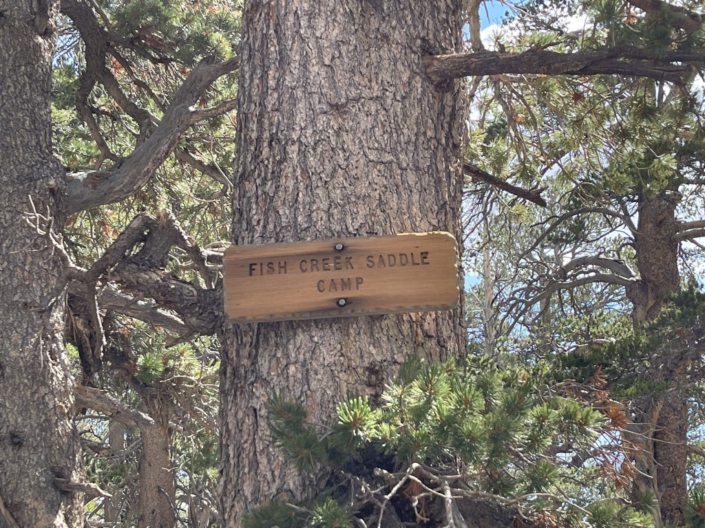
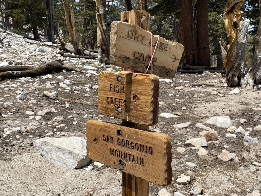
At 5.5 miles I finally reached Fish Creek Saddle at 9818 feet. This is where the trail comes up from the Fish Creek Trailhead. There was a tent and a few hammocks off to the side, but the owners were not present at the time (possibly on their way to San Gorgonio).
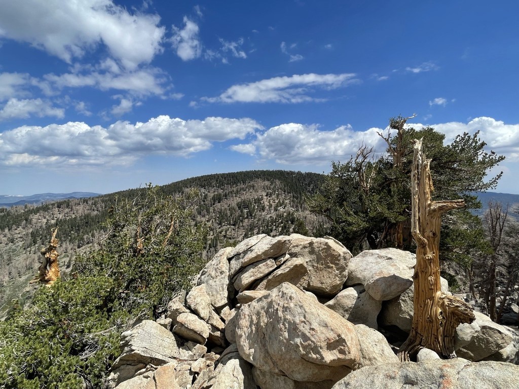
I began hiking directly north towards Grinnell Mountain.

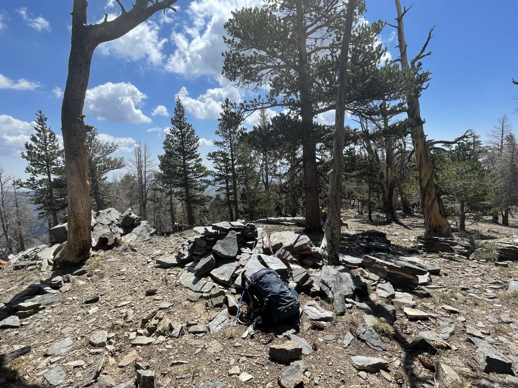
The summit area was very flat, so it was difficult to tell where the actual high point was. I reached the top at 6.3 miles and checked out a few different rock piles. I did not locate a register and the views were limited due to tree cover.
After a short break I retraced my steps back towards the saddle.
I reached the saddle at 7 miles and then climbed southwest towards Lake Peak. The summit of Lake required some very minor scrambling.

I reached the summit at 7.3 miles. I located a container but there was no register inside. I decided this was the best peak of the day so far since the views were not obscured by trees. From left to right: San Gorgonio, Jepson Peak, Little Charlton Peak, Charlton Peak, Anderson Peak, Shields Peak, and Alto Diablo.
Grinnell Mountain to the south:
From the summit I descended directly west and picked up the Fish Creek Trail at 7.5 miles.
I reached Mine Shaft Saddle at 8.3 miles and then climbed north towards another Peakbagger peak called Zahniser Peak (10056 feet).
I reached the summit of Zahniser at 8.4 miles and once again found an empty ammo container with no register inside. Is someone out here stealing registers?
I returned back down to Mine Shaft Saddle, which I reached at 8.5 miles. The elevation at the saddle was 9942 feet.
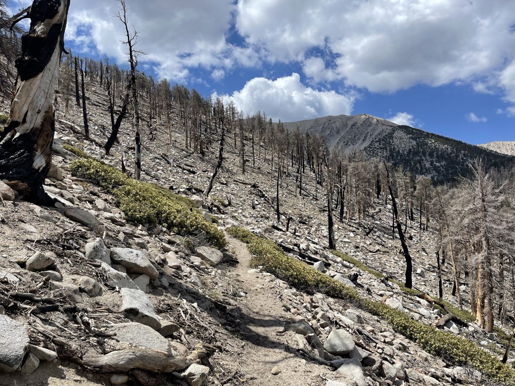
It was just after 12, so it was pretty early in the day and I was feeling great so I decided to climb San Gorgonio since I was so close. From Mine Shaft Saddle, the trail makes its way around to the east side of the mountain and then switchbacks up to the summit plateau in about 3.5 miles. Instead, I thought it would be fun to try an off trail route to the peak. There was a ridge that appeared to lead all the way up to the summit plateau from the saddle, and the terrain definitely looked climbable. I began climbing up what I’m calling the northwest shoulder of San Gorgonio. It would be a 1500 foot climb in 1.5 mile.
It was steep, but the terrain was solid, so it was much easier than the Sierra slogs I had gotten used to in the past couple months.

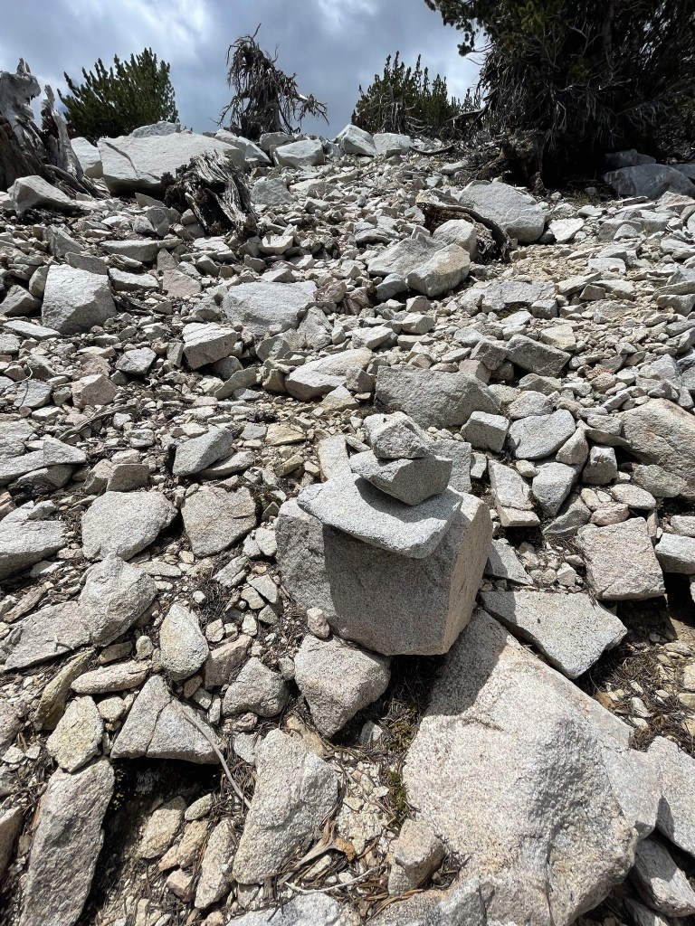
I noted a few cairns here and there. Apparently, I wasn’t the first person with this idea.
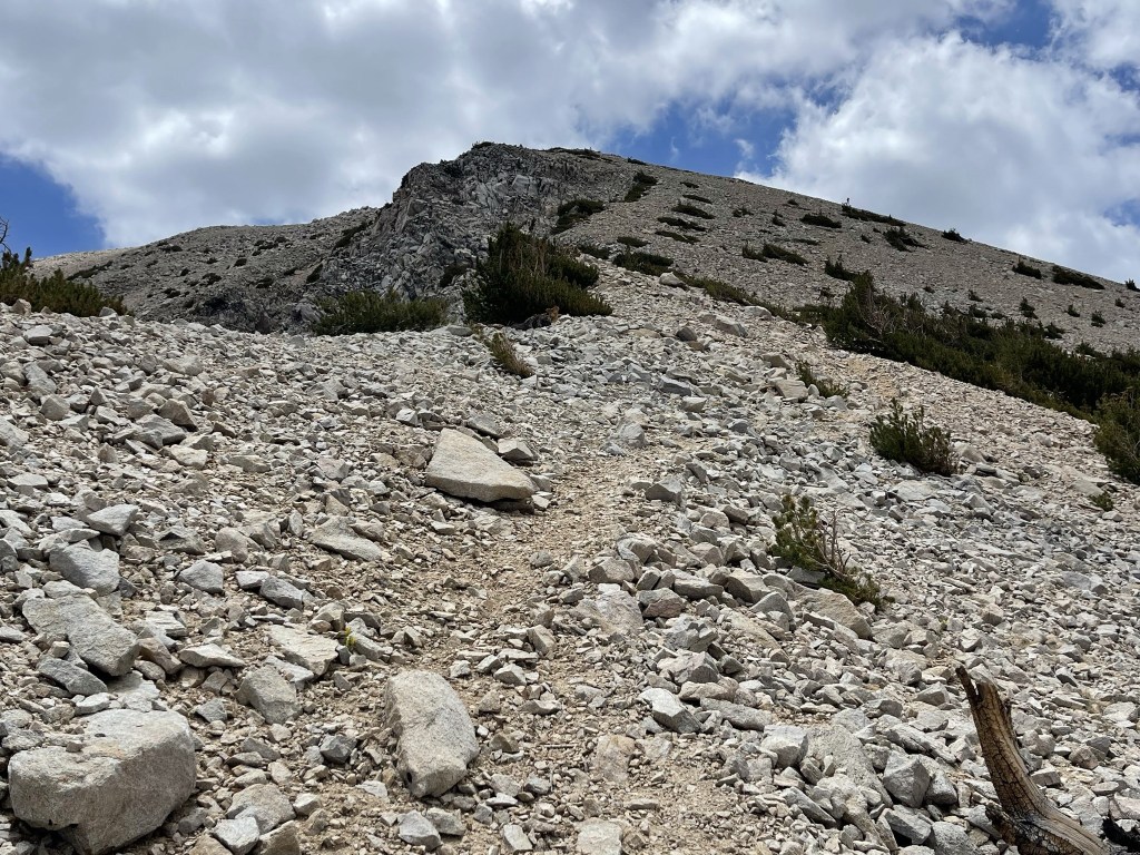
The summit appeared closer as I climbed higher. I could even see people on the top.
I reached a gendarme on the ridge at the 10800 foot level, but it was easy to bypass on the right side. I found a vague use trail as I continued up the ridge.
I climbed higher and higher. Despite being above 11000 feet now, I was making good progress up the mountain. It felt easy to me after my recent hikes in the Sierra.
At 9.4 miles I reached a Peakbagger Peak called San Gorgonio Mountain-Northwest Slope (11400 feet). It apparently is a drainage basin high point (not really sure what that means). San Gorgonio itself was now very close.

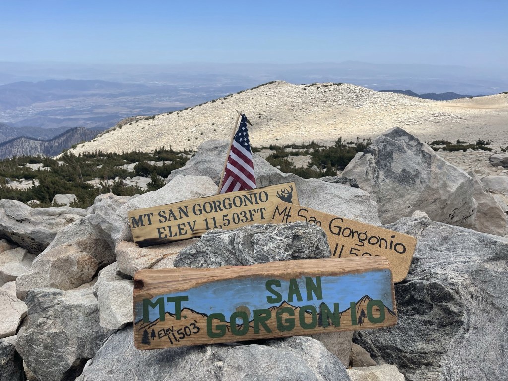
I followed the summit trail for the last quarter mile. I reached the 11499 foot summit at 1:19pm at the 10 mile mark!
It was my second time standing on top of the highest mountain in Southern California. I had climbed it via the standard Vivian Creek Trail in June 2018. It occurred to me that I had just climbed it by an almost entirely off trail route (just a minor section of trail between Lake Peak and Mine Shaft Saddle), which was pretty cool.
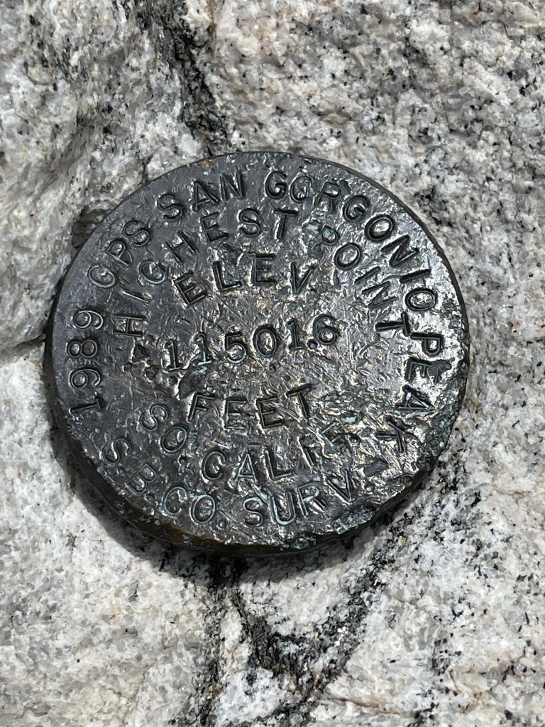
Once again there was a container but no register inside, but that really didn’t surprise me on such a popular peak. Dozens of people summit San Gorgonio every day in the summer, and there were 15-20 people on top when I was there. I located one benchmark.
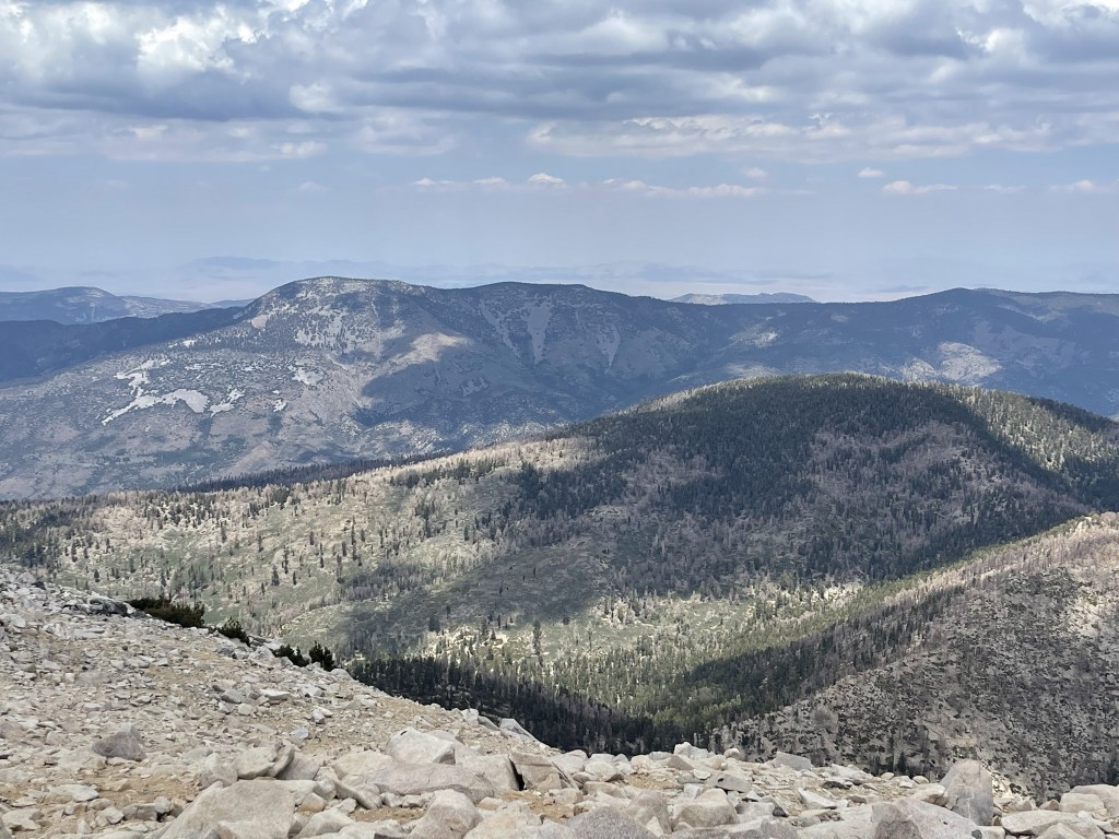
San Gorgonio is the 7th most prominent mountain in the contiguous United States, so it commands tremendous views in every direction. Unfortunately, clouds and haze obscured the views somewhat. To the north I could see Sugarloaf Peak (left) and Grinnell Mountain (right foreground).
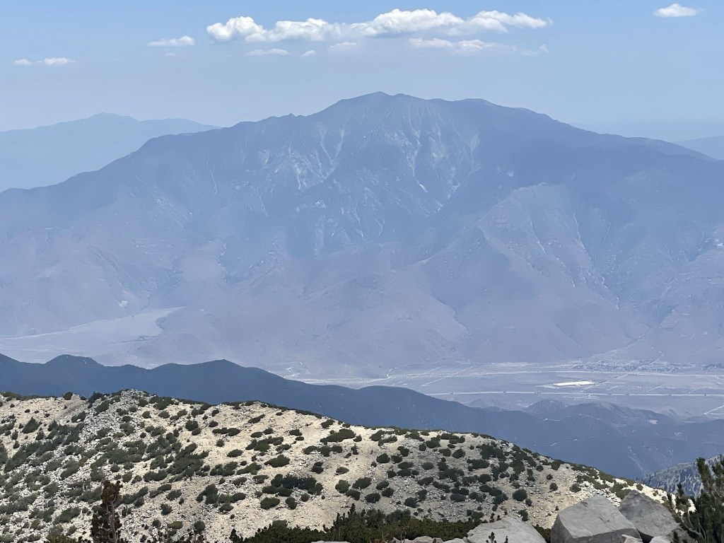
The most impressive sight was the north face of San Jacinto, which towers 10000 feet above San Gorgonio Pass.
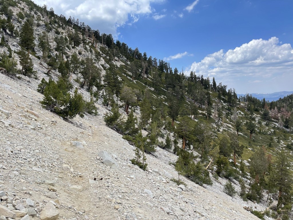
I began the descent after a 30 minute break. Rather than retrace my steps down the northwest shoulder, I decided to descend directly down the north ridge.
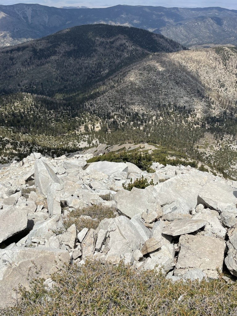
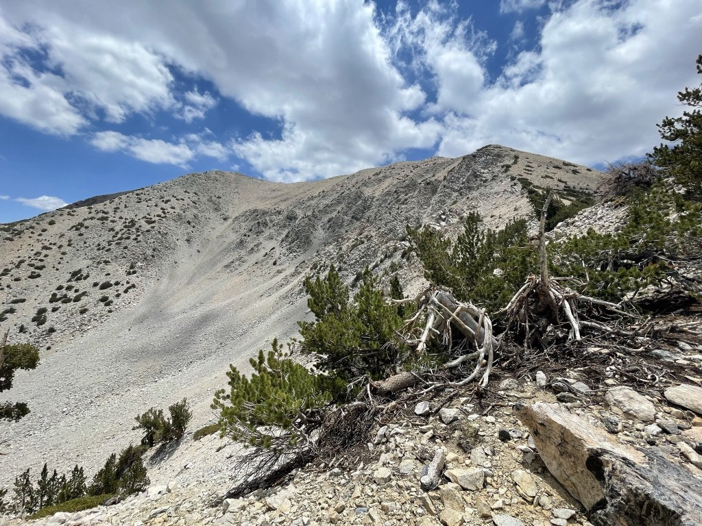
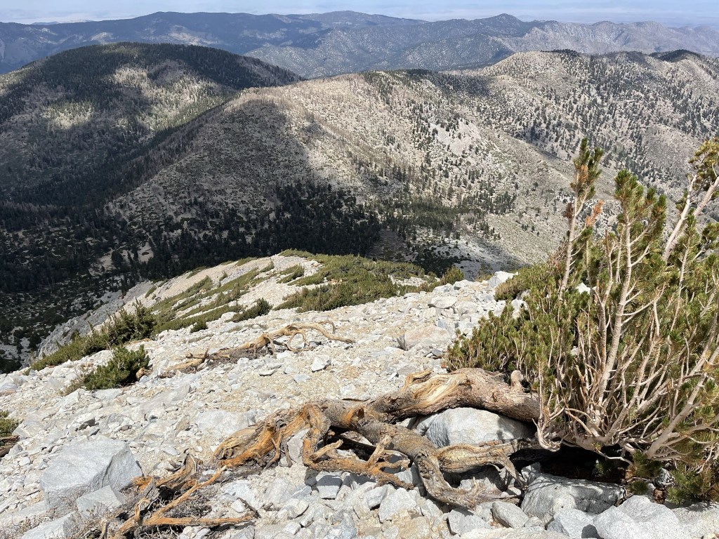
The north ridge was slightly steeper and a little rougher than the northwest shoulder, but I still made good time on the descent. Below is a good picture of the northwest shoulder taken from my descent route on the north ridge.

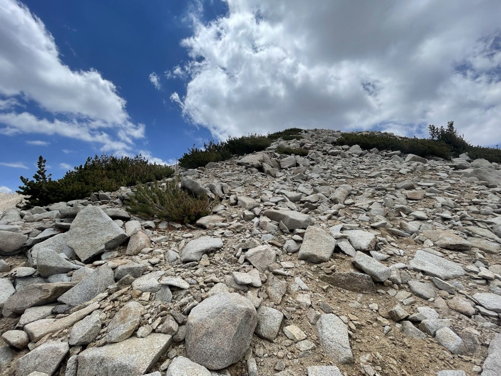
I made my way carefully down the steep ridge.
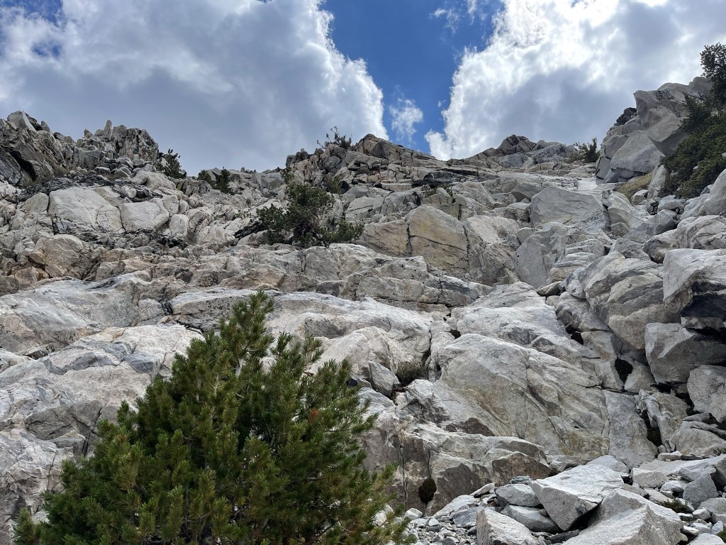
I angled too far to the left once I got near the bottom and encountered some class 3 downclimbing. I think if I had descended in more of a straight line the terrain would have been easier.
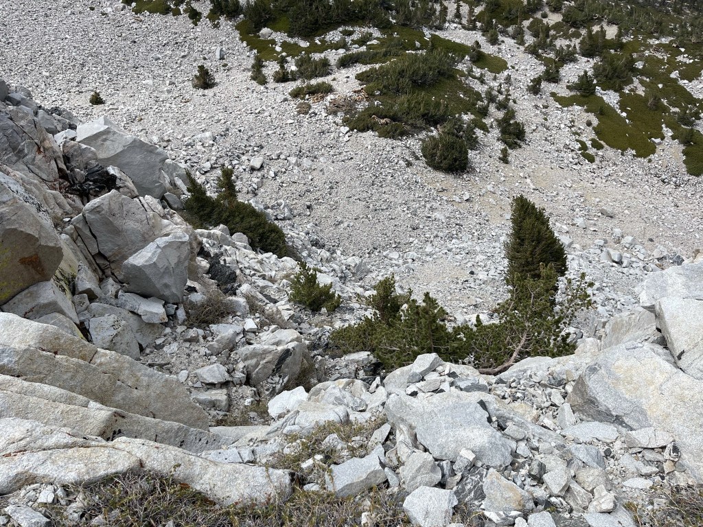
This is looking back up at the class 3 section I downclimbed:
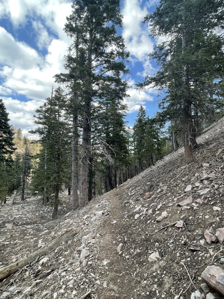
I finally reached the trail again at 10.8 miles. It actually felt nice to be able to hike mindlessly on a trail after so much cross country hiking.
I went past Mine Shaft Saddle and reached Fish Creek Saddle for the 3rd time today at 12.3 miles. From there it was a 5 mile descent on a well graded trail back to the trailhead.
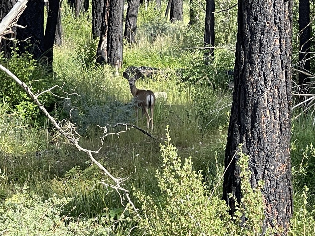
I spotted a few deer at 16.4 miles near Fish Creek Meadow.
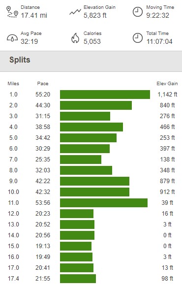
I reached the car finally at 4:46pm. This hike totaled 17.41 miles, 5823 feet elevation gain, and 11:07:04 total time.