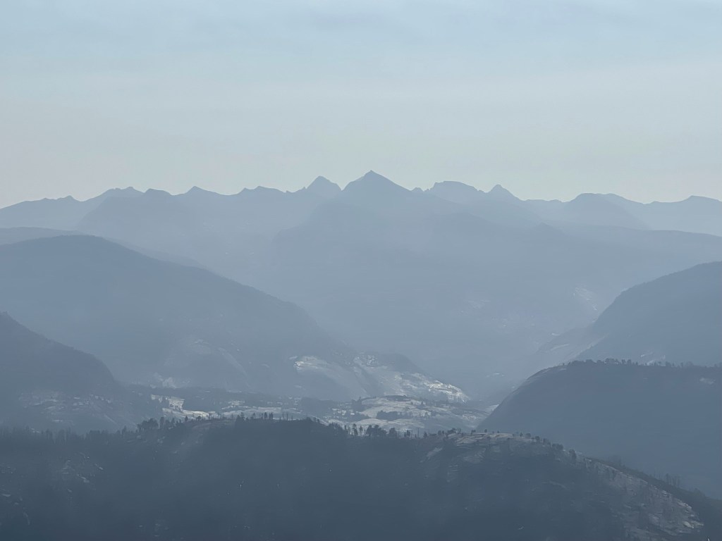
Half Dome (8840 feet) is a famous granite dome that rises 5000 feet above Yosemite Valley. It is an iconic feature of Yosemite National Park and is a very popular hiking destination. The final 400 foot ascent up the dome itself is aided by 2 steel cables which are fixed into the side of the dome each summer. A permit must be obtained by hikers intending to summit via the cables. The permits are awarded by lottery, and I was lucky enough to get one this year for August 14. I had planned a full 10 day road trip around this date, with Half Dome being the first hike I would do on my way up to Northern California and Oregon. I left San Diego on Friday August 13 and made the 7 hour drive to Lone Sequoia Campground in Sierra National Forest. The campground is located about an hour away from the south entrance of Yosemite so I figured it would be a good place to spend the night. I was surprised to find it completely empty when I arrived, which seemed weird for a Friday night in a campground so close to a national park. I parked in one of the spots and had a good, but short, night of sleep.
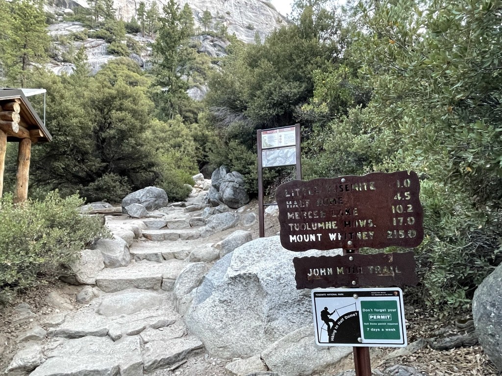
I wanted to get a super early start on Half Dome to beat the crowds and because I had another long drive ahead of me for the afternoon. I woke up at 3am and made the 1 hour drive to the Yosemite Valley Trailhead parking lot. I started hiking at 5:07am from 4010 feet.
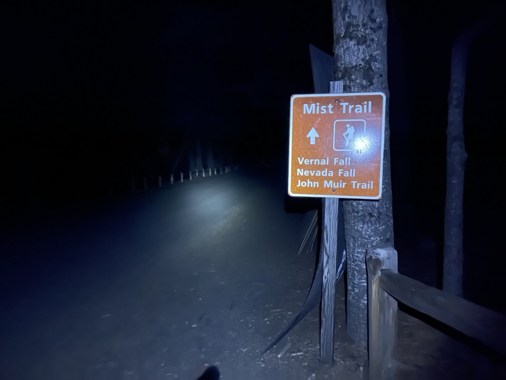
I hiked along the Valley Loop Trail. At 0.6 mile I crossed a bridge over the Merced River, and then I turned right onto the Mist Trail.

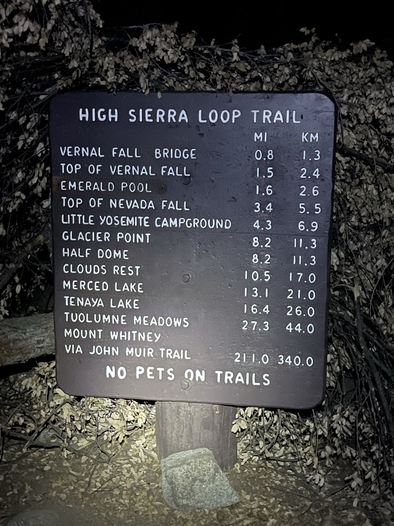
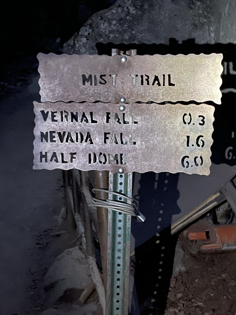
A little over 8 miles to Half Dome from here! (actually I found it to be a bit less than that)
I hiked east on the Mist Trail as it started to gain elevation. The first part of this trail is paved. I started passing other groups of hikers who also were getting an early start on their hike to Half Dome. At 1.5 miles I crossed the Merced River again on the Vernal Fall Footbridge. I reached a junction with the John Muir Trail a bit later and continued straight on the Mist Trail.
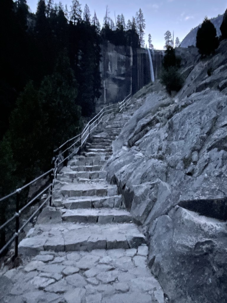
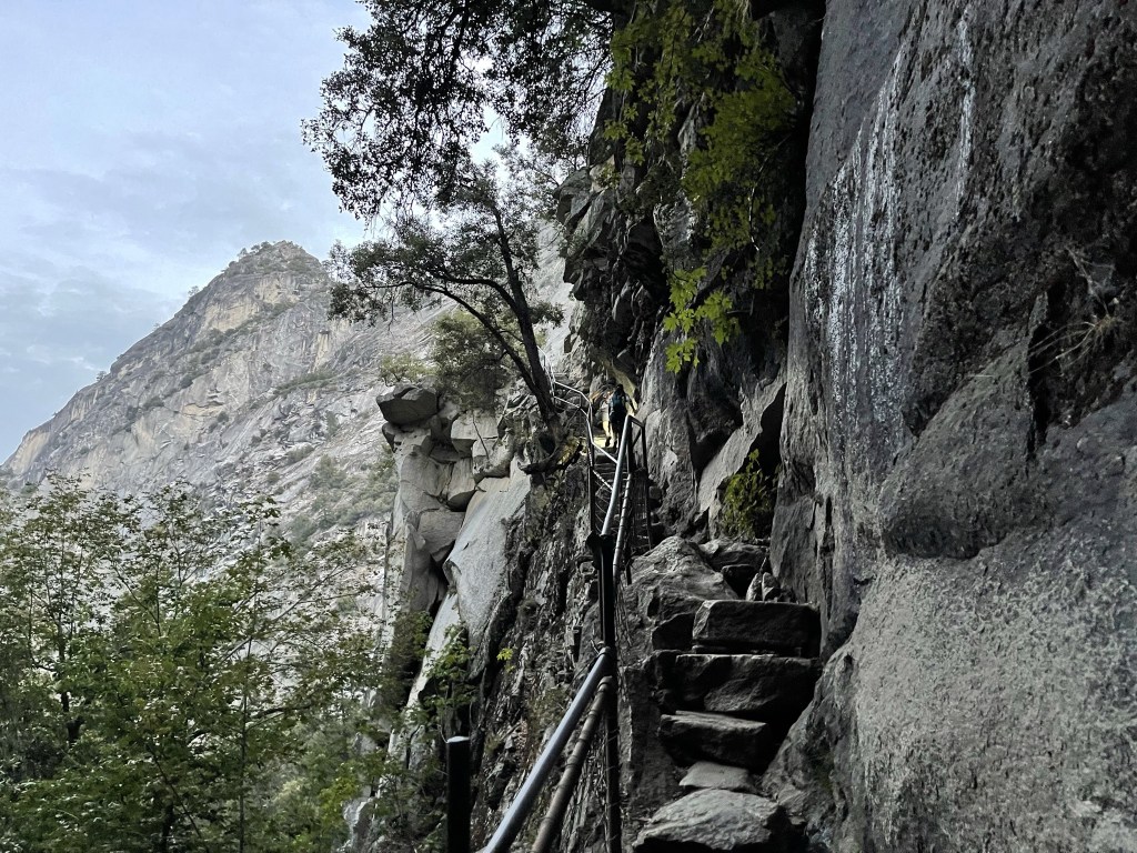
There were stairs built into the trail on the approach to Vernal Fall.
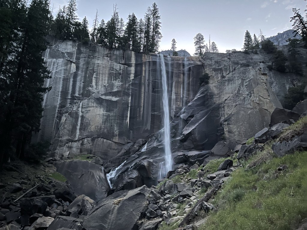
At 2 miles I reached Vernal Fall, the first of two waterfalls that the trail goes by. The fall is 317 feet tall.
I hiked up a narrow set of stairs to get above the fall.
At 2.3 miles I reached Emerald Pool.

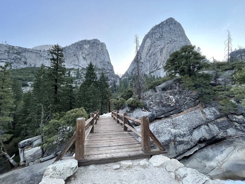
At 2.4 miles I passed another trail junction and continued straight on the Mist Trail again. I then crossed the river once more and got my first view of Half Dome (you can barely see it sticking out on the left). The peak in the center is Mount Broderick and the peak on the right is Liberty Cap.
I proceeded through the woods beyond the bridge. The bugs were annoying in this section.
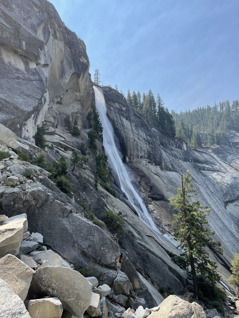
At 3.1 miles I reached Nevada Fall, which is 594 feet high.

I climbed some steep steps and reached another intersection with the John Muir Trail at 3.4 miles. There was a restroom located at this junction.
I hiked northeast on the John Muir Trail as the sun made its first appearance.

There was a minor downhill section as I neared Little Yosemite Valley, which is a popular backcountry campground. I reached the valley at 4 miles.
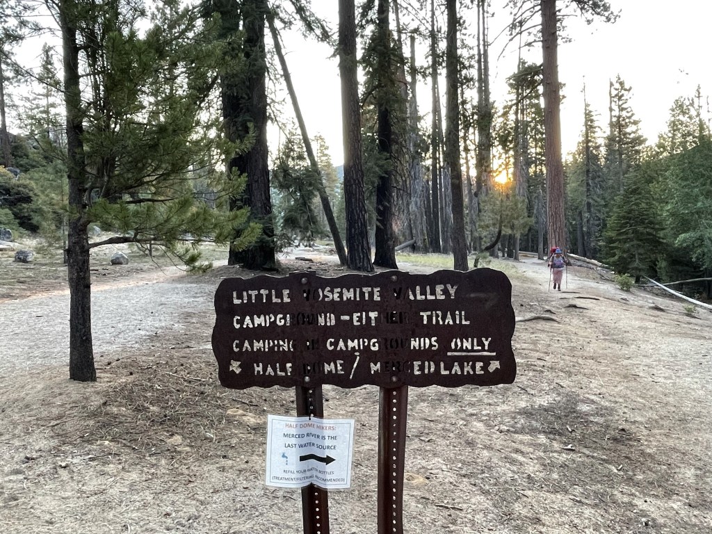
From Little Yosemite Valley I continued northeast on the John Muir Trail towards Half Dome.
The trail turned north and made a few switchbacks.
I didn’t see any other hikers for the next few miles. At 5.9 miles I reached a final trail junction before the summit. Here the John Muir Trail heads off into the High Sierra and eventually reaches the summit of Mount Whitney over 200 miles to the south. I went left onto the Half Dome summit trail.

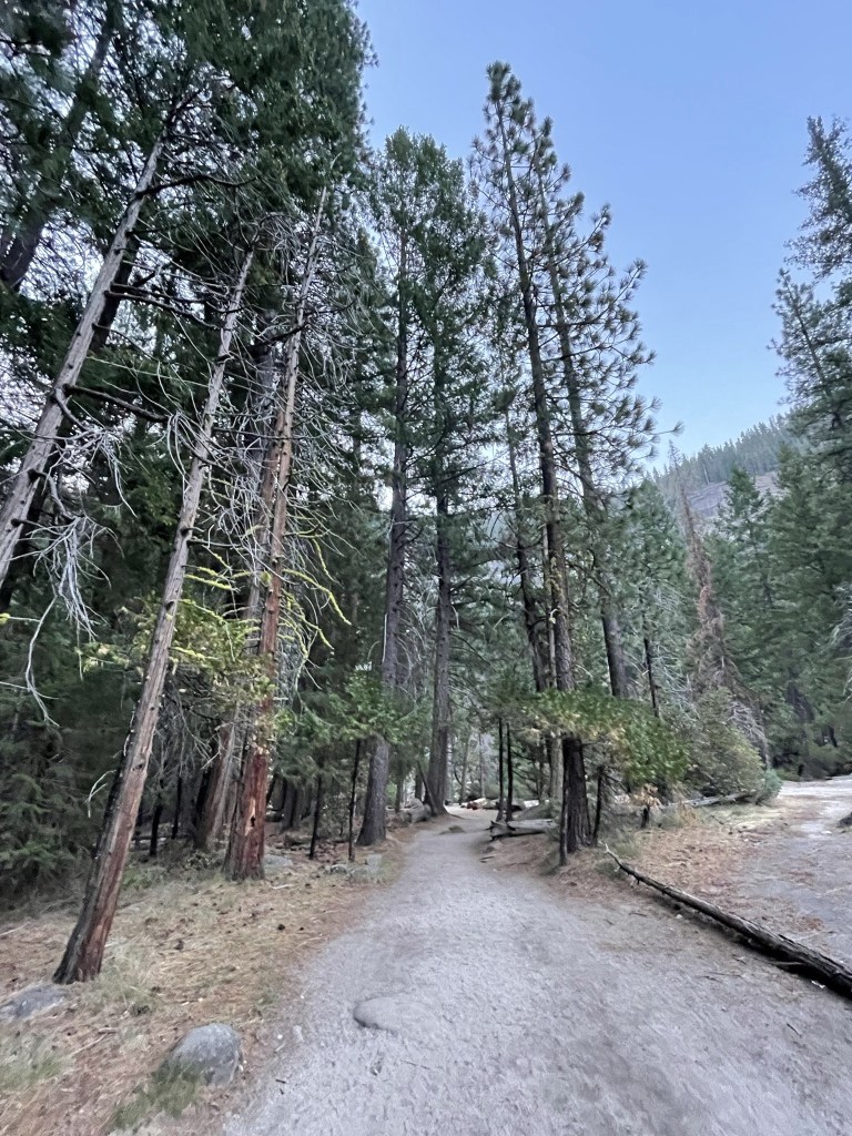
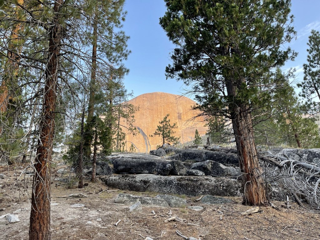
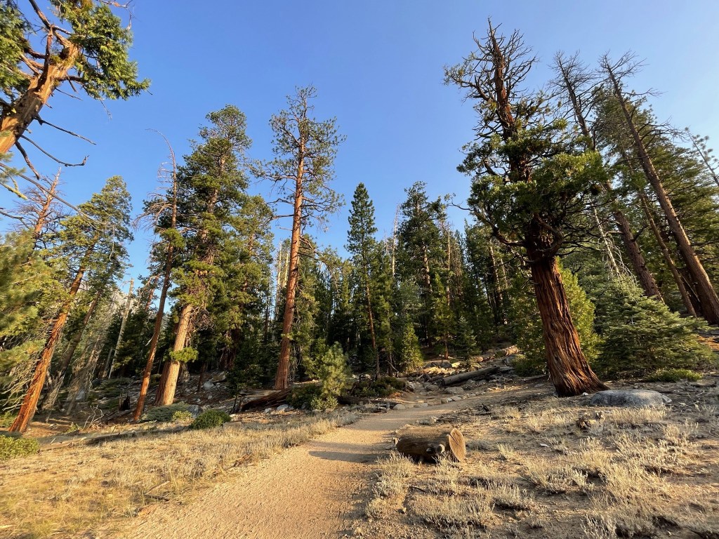
I continued north through a beautiful pine forest, steadily gaining elevation.

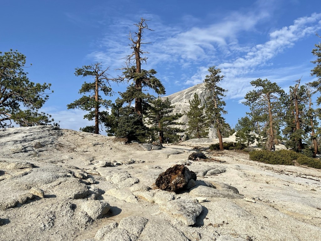
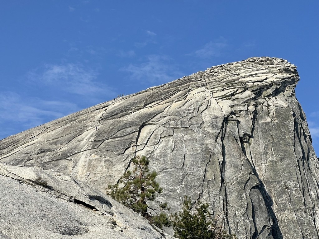
Half Dome appeared closer and closer as I climbed higher.

Then trail eventually curves to the southwest for the final approach.
At 7.4 miles I arrived at the base of the Subdome. This is the point where the permit is required to travel beyond, so I was surprised to not see a ranger standing guard.
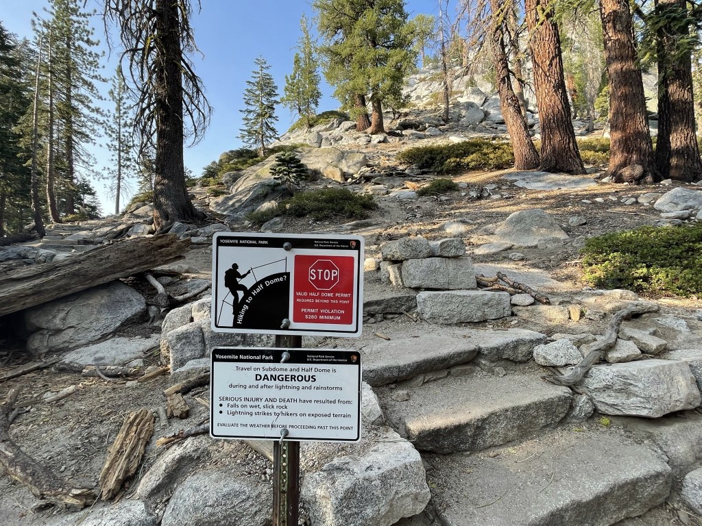
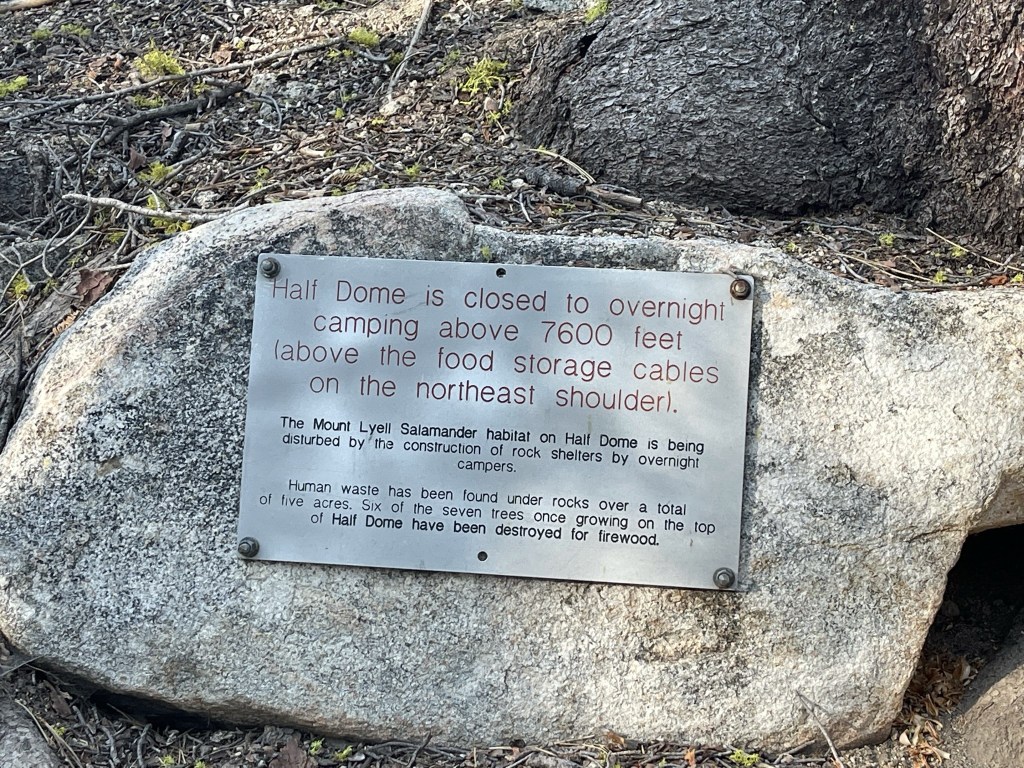
A nice reminder of how awful humans can be:
It’s a steep climb up the Subdome.
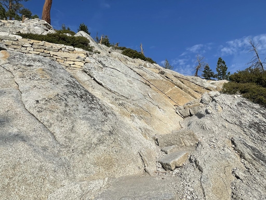
The trail was narrow and made many switchbacks.

I could see climbers on the cables heading up to the top.
At 7.7 miles I reached the top of the Subdome at 8377 feet.

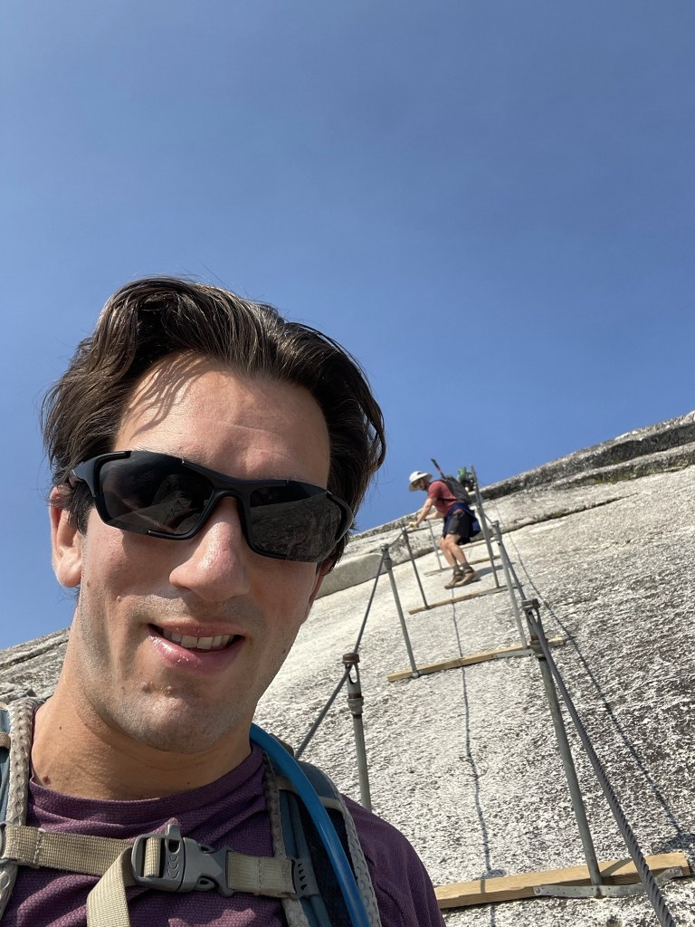
I passed this sign at the base of the cables.

I began climbing up the cables. The cables are attached to poles which are placed in holes in the rock. There are also wooden planks fixed to the poles which are useful to rest on.

The hardest part of the cables was waiting behind slower people. I immediately caught up to the hikers in front of me. I had to wait as they rested for a minute or 2 after every couple steps. This was tiring for my arms and hands more than anything, but the wooden planks were definitely helpful to rest on. This would be a nightmare later in the day when the route is much more crowded.

Don’t look down!
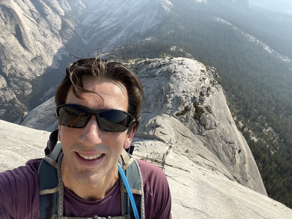
The grade flattened out a little near the top. The hikers in front of me let me pass at this point which was nice. I reached the top at 8:57am at 7.9 miles!
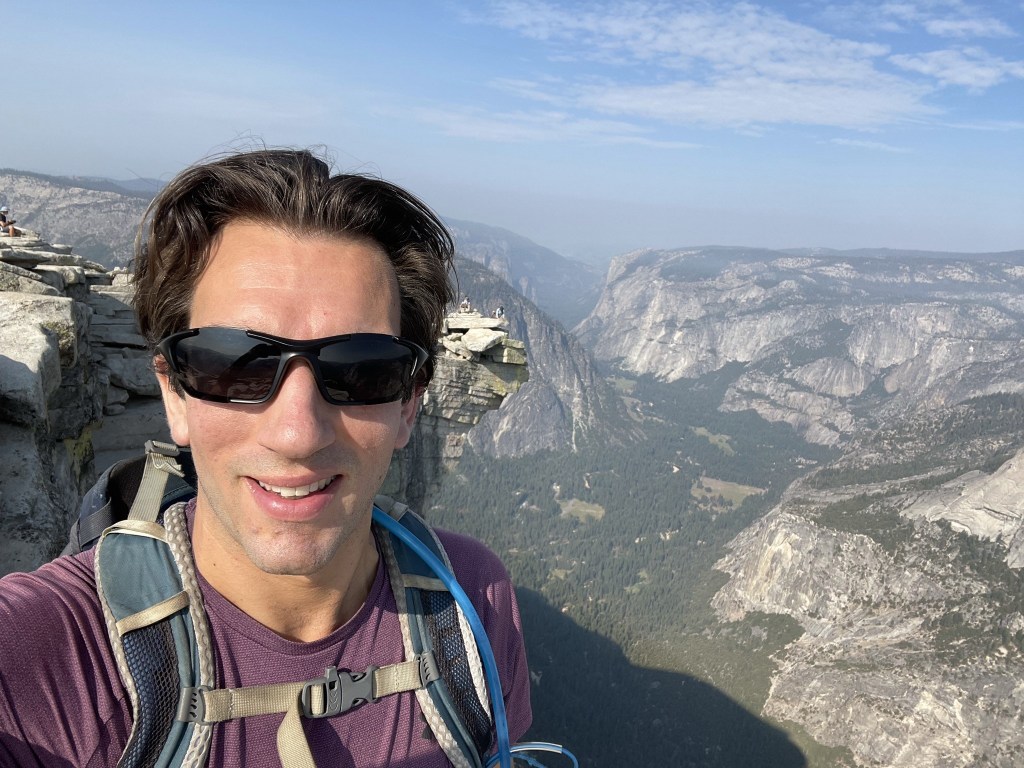
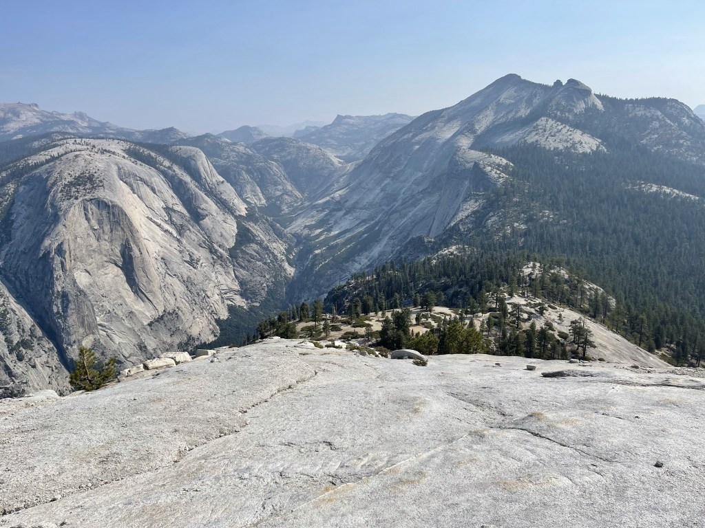
There were quite a few hikers on the summit to no surprise. I found a nice spot to sit, have a snack, and enjoy the views. This is looking west down the valley:

And this is looking the other way (northeast). Clouds Rest is upper right.
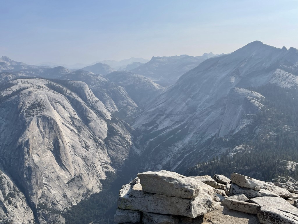
Further to the east I could see Mount Lyell, a 13er which is the highest point within the national park.
To the south I could see Mount Starr King.

It’s a long ways down to the valley (about 5000 feet)!

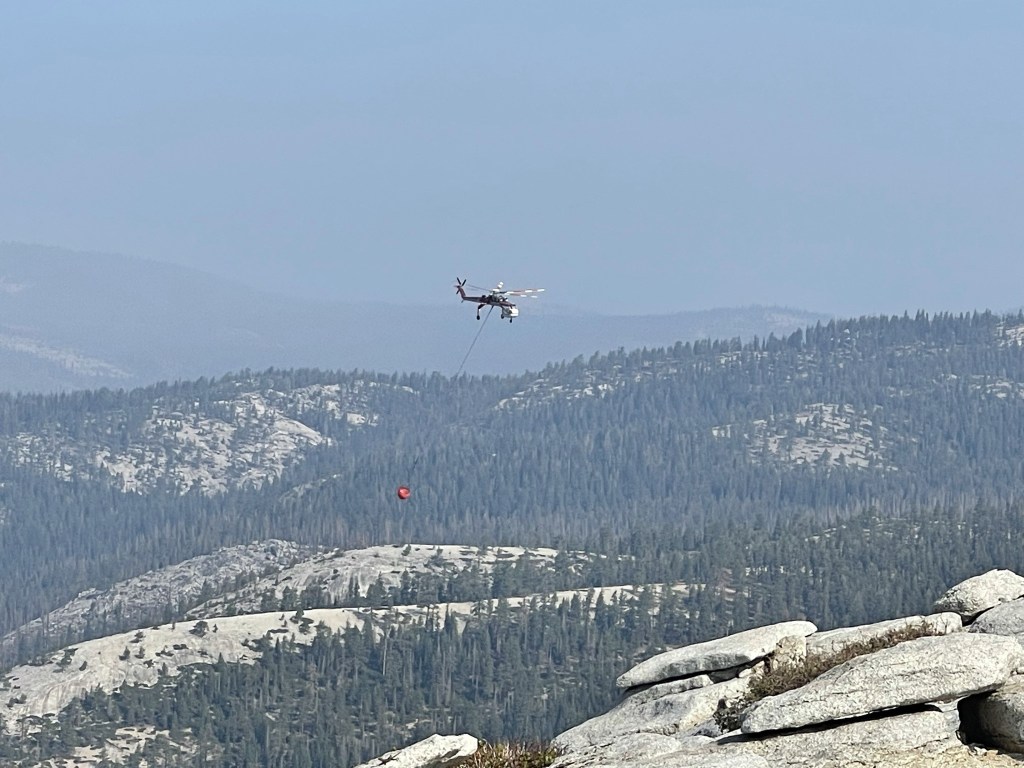
While on the summit I saw what I thought was a fire helicopter making a water drop. I didn’t see any smoke nearby but figured it wasn’t a good sign.
I explored the summit area for a while and then began the descent at 9:35am.

The cables were definitely scarier to descend, but still not too bad. There was no one else going down so I was able to go my own speed. I had to be careful when passing people on their way up though.
I reached the Subdome again at 8.7 miles.
I made my way down the Subdome steps.

There was still no ranger checking permits at the base of the Subdome. From there I retraced my steps back to the trailhead. It got very warm as the day wore on and as I descended to lower elevation. The trail also got more and more crowded as I neared the trailhead. The permit system keeps the Half Dome trail from getting too crowded, but the Mist Trail leading to the 2 waterfalls was extremely busy. I stopped to take a short break at both falls and took some more pictures since they looked better in full daylight. I reached Nevada Fall at 13.3 miles.
And I reached Vernal Fall at 14.4 miles.

There were quite a few people swimming in the pool at the bottom of the fall, as well as Emerald Pool (despite signs saying this was prohibited). I also saw a man laying on the ground being assisted by SAR. I didn’t see any obvious injuries, so I imagine it was just heat exhaustion/dehydration. I reached the trailhead once more at 1:06pm. This hike totaled ~16.5 miles, 5351 feet elevation gain, and ~7:59:00 total time. Note that I didn’t turn on my recorder right away, so I had to approximate the mileage and time.


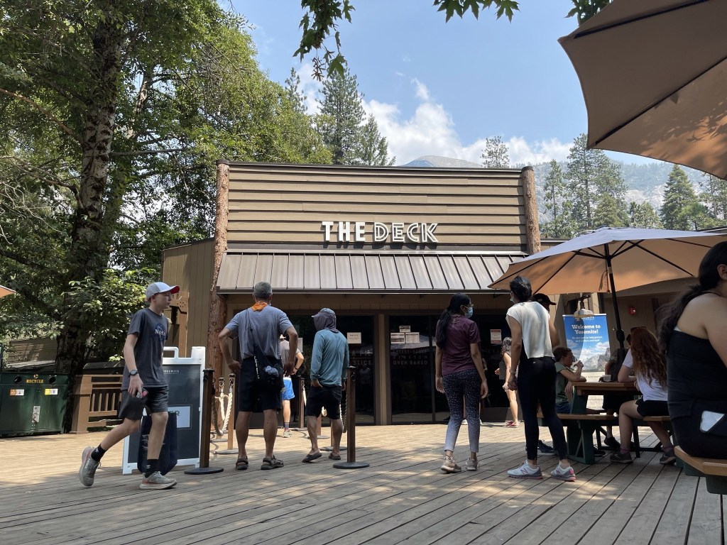
After my hike I drove over to Curry Village and met my buddy Michael for lunch at the Pizza Deck. Michael is another Peakbagger from San Diego who had joined me in March to climb Square Top in Anza Borrego. He was working a seasonal position as a park ranger in Yosemite, so we were able to meet up for an hour before I left the park. We ordered the “Half Dome” pizza which was basically a meat lovers pizza. It was very satisfying after a long hike.
I was planning to climb Mount Eddy in Northern California the next day, so I said goodbye to Michael and made the 7.5 hour drive. I found a nice spot to park for the night on Forest Road 42N17 in Shasta-Trinity National Forest about 20 minutes short of the trailhead. Despite a very warm night, I had an excellent night of sleep.
