For this weekend I decided to make another day trip out to Anza Borrego Desert State Park to bag some more peaks on the San Diego County list. It had been pretty rainy on Saturday, so I waited until Sunday to do any hiking. I still had a few more peaks to climb in the southern part of the park. I had already made 2 trips out to that area this winter to climb Stage Benchmark in December and Red Hill in January. My plan this day was to climb False Sombrero (3463 feet) and Diablo Benchmark (2440 feet). False Sombrero is only a 2 mile hike from the end of North Indian Canyon Road, but the road sounded pretty rough according to some of the reports I read. I was prepared to have to park before reaching the end of the road and walk the remaining miles to the base of the peak. My plan was to also do Diablo was contingent on how close to False Sombrero I would be able to get. Diablo would be about a 10 or 11 mile hike, so I was really hoping to limit the miles I would have to do for False Sombrero.
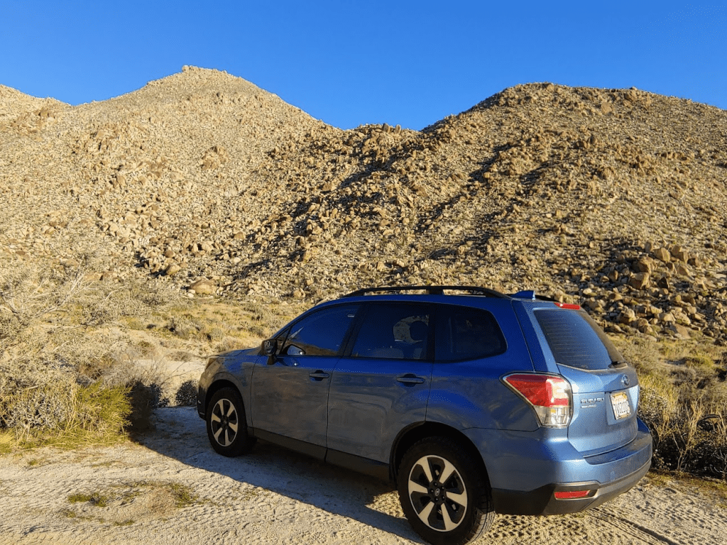
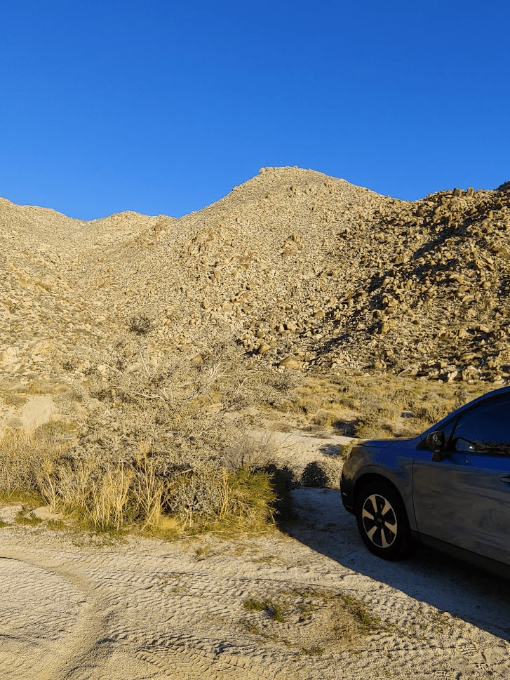
I woke up at 4:30am and hit the road at 5. I made the long 90 mile drive east on I-8 to Ocotillo and then north on County Highway S-2 for about 18 miles to Indian Canyon. The first mile or so was pretty rocky and I had to drive slowly. After that, the road smooths out and I was able to drive pretty fast. At about 2.5 miles from pavement, the road forks to South Indian Canyon and North Indian Canyon. South Indian Canyon leads to the actual Sombrero Peak, which is a much more notable peak. Sombrero is one of the few peaks in Anza Borrego on the Sierra Club Desert Peaks Section List (as well as Zdon’s list and the SD County list). It is about 800 feet higher than False Sombrero and just a few miles to the south. I had climbed Sombrero in January 2019, using the western approach from McCain Valley. Anyway, I went right and drove another 2 or so miles to the end of North Indian Canyon Road. I couldn’t believe how easy the dirt road was. It must have been improved recently, since most of the reports I read made it sound so rough. There was a camper parked at the end of the road, but it was still pretty early so I didn’t see anyone out and about. I began hiking at 7:10am from about 2000 feet above sea level.
The sun was already fairly high in the sky.

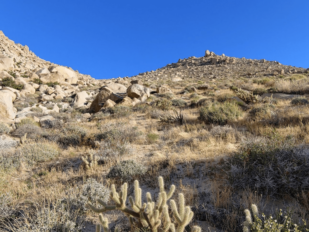
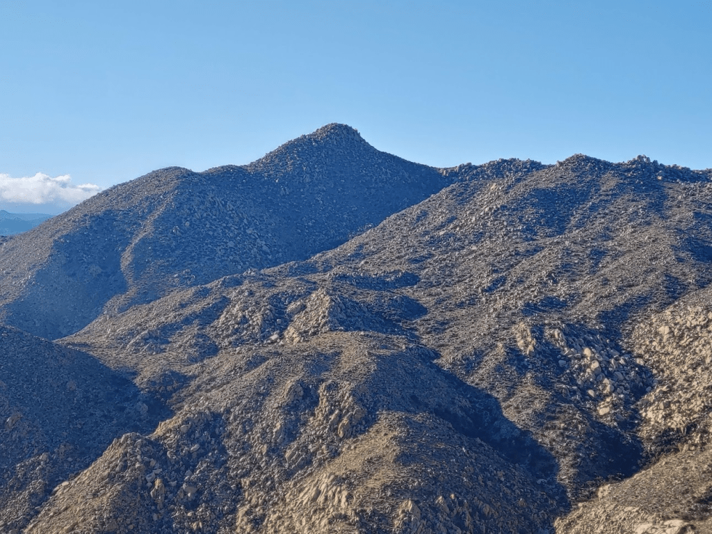
False Sombrero was visible directly above me.
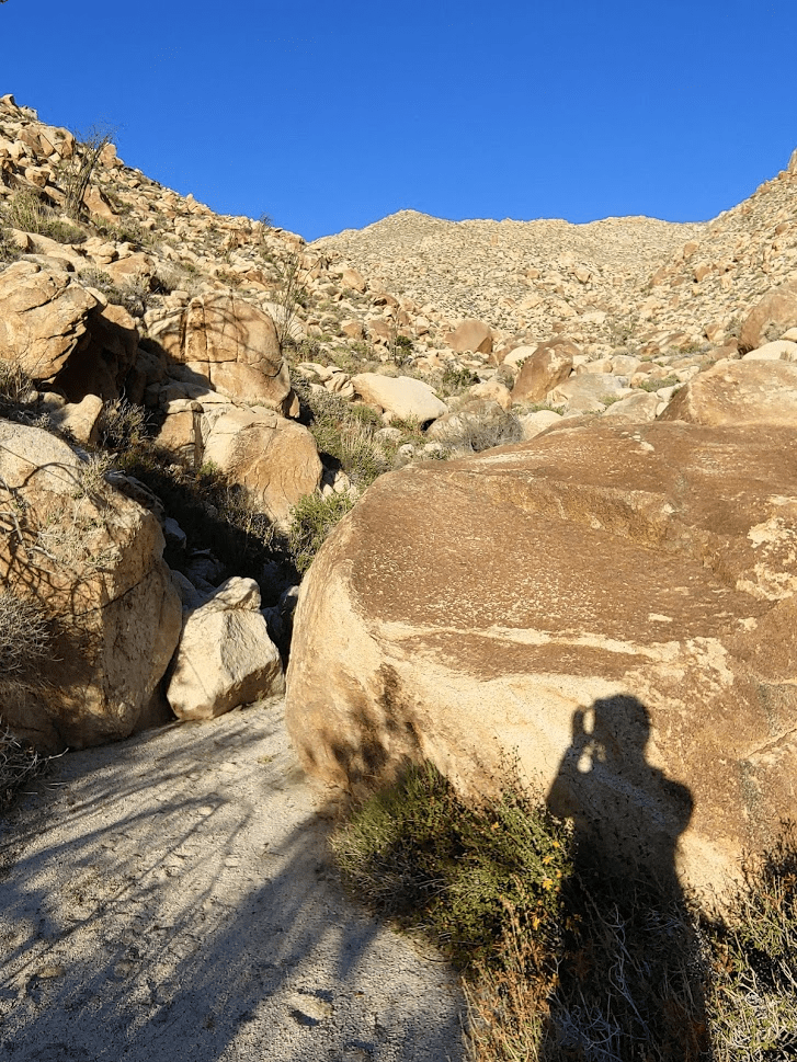
I started hiking up a steep, rocky gully.
The route up to False Sombrero may be short, but it is very steep.

The route becomes very sandy about 2/3 of the way up. Walking uphill on loose sand was very difficult!
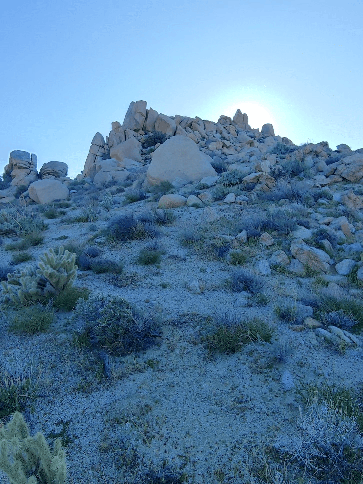
I reached a saddle just below the summit. I turned right and scrambled up the final rocky portion.
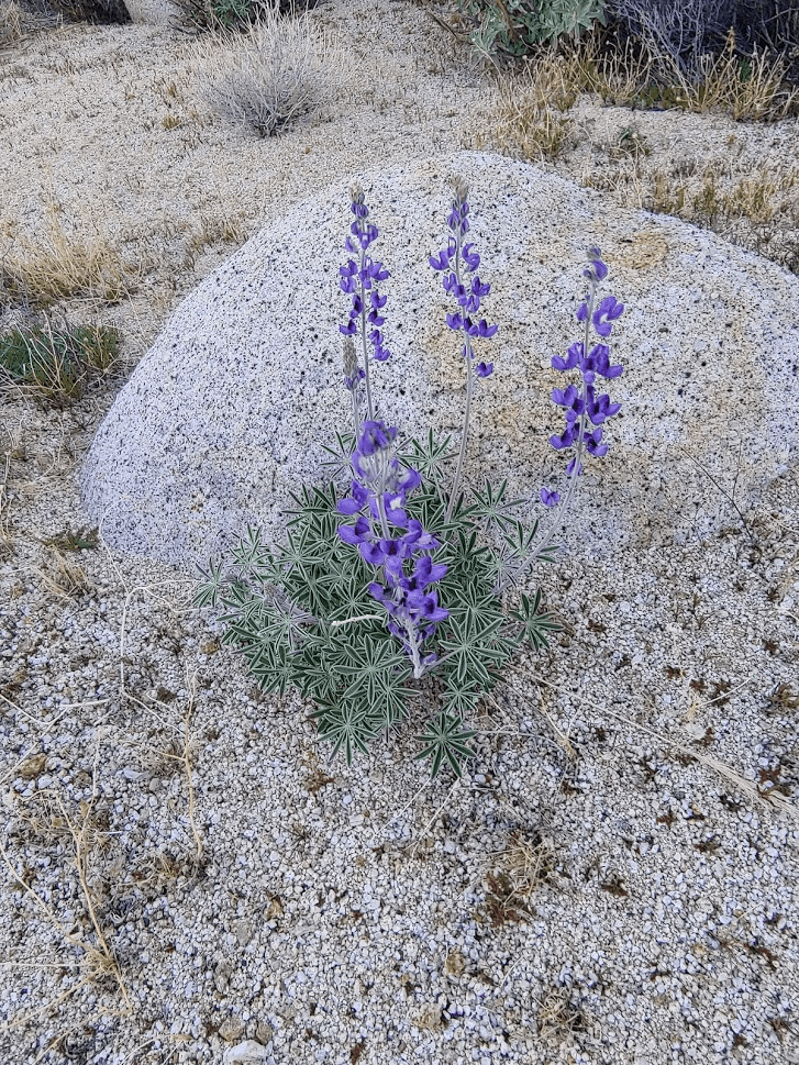
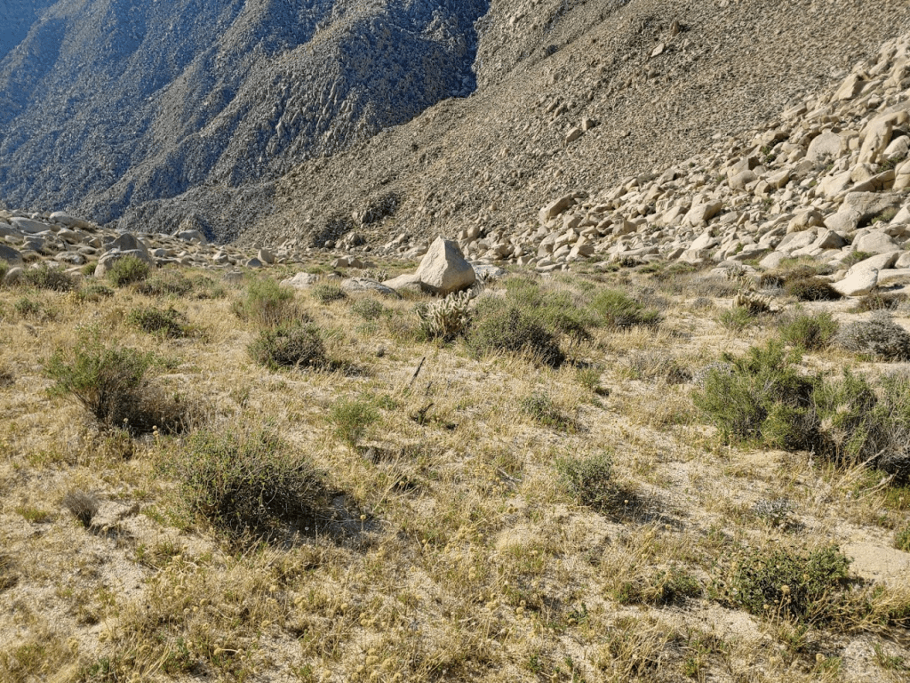
I noticed a few wildflowers already blooming. Since this winter has been so dry, there definitely won’t be a super bloom this year.
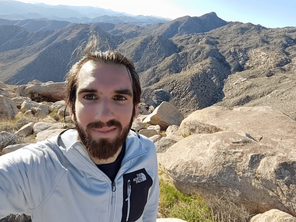
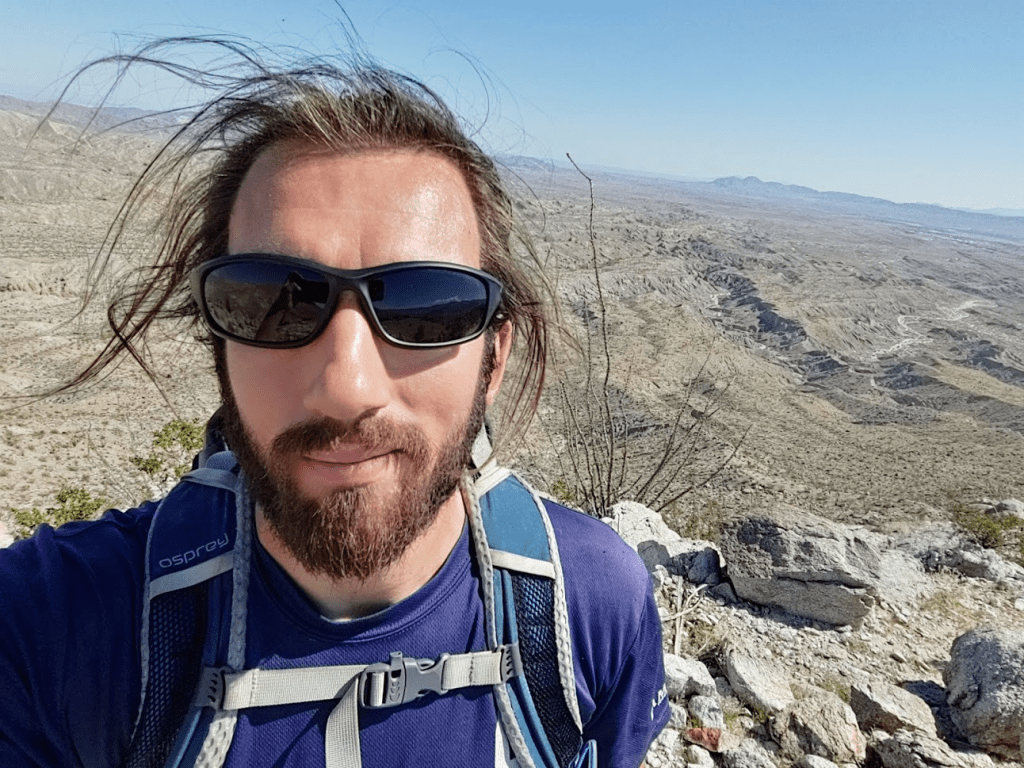
I reached the summit at 8am! It was only 0.9 miles so far, but over 1300 feet of elevation gain!
Sombrero Peak looked impressive a short distance to the south.
Looking back down on Indian Valley:
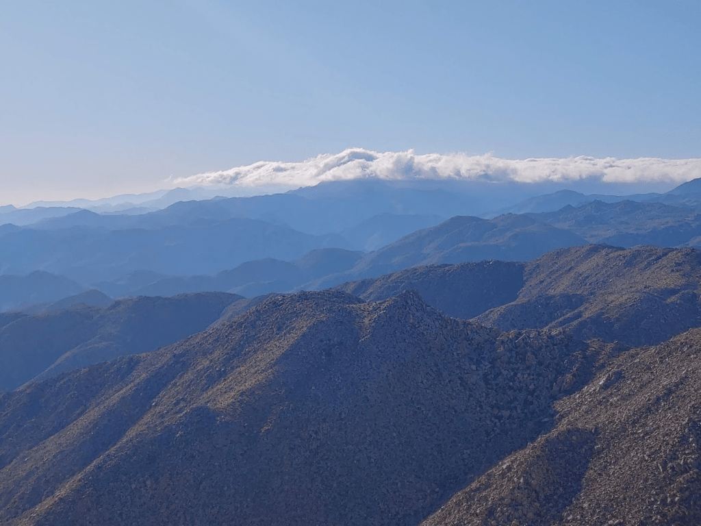
It was still pretty cloudy over the Laguna Mountains.
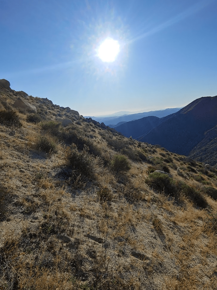
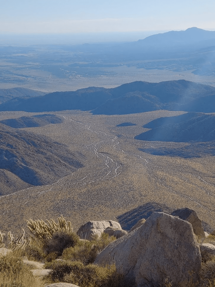
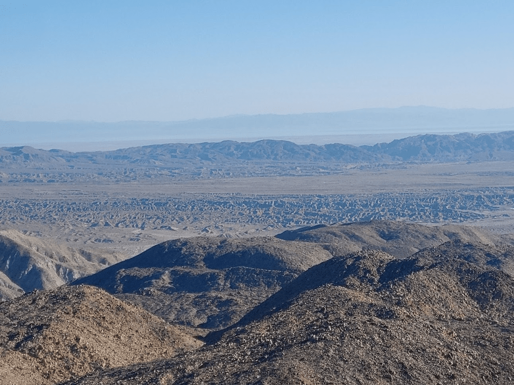
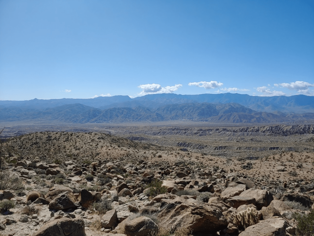
The view east towards the Carrizo Badlands was impressive.
I enjoyed the views for about 20 minutes and then began the descent. I went down the same route I came up. The sandy section was a lot of fun. What took me 20 minutes to climb up took only about 5 minutes to descend!
Once back in the gully I could see my car and the camper parked at the end of the road.

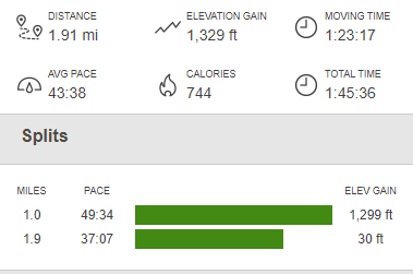
I made it back to the car just before 9am. The hike totaled 1.91 miles, 1329 feet elevation gain, and 1:45:36 total time.

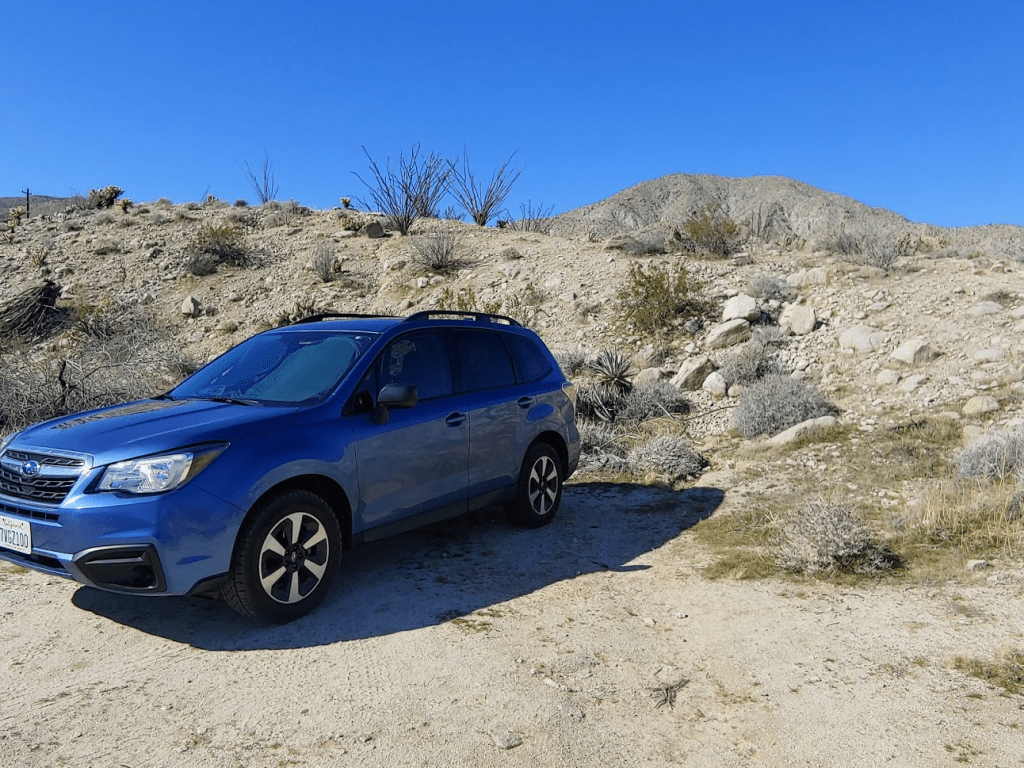
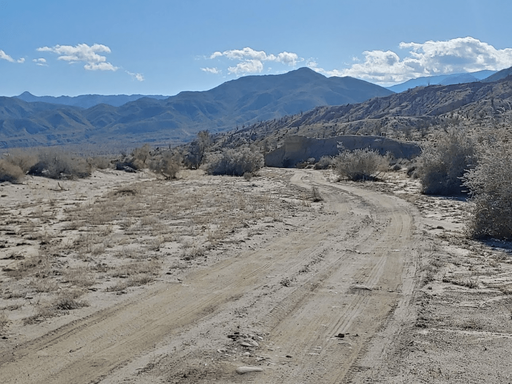
Everything had gone according to plan so far, so I knew I had plenty of time still for Diablo. I drove back out to Highway S-2 and then went just 5 miles north to a small turnout on the west side of the road. This is the exact same parking spot I used for my December ascent of Stage Benchmark.
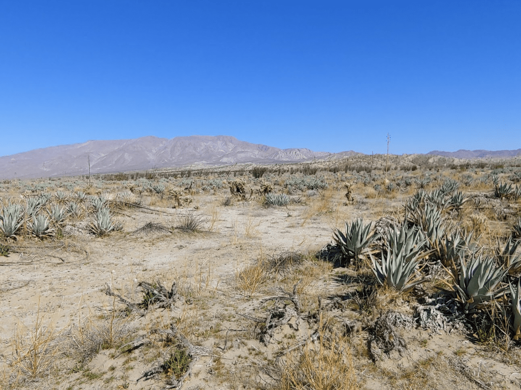
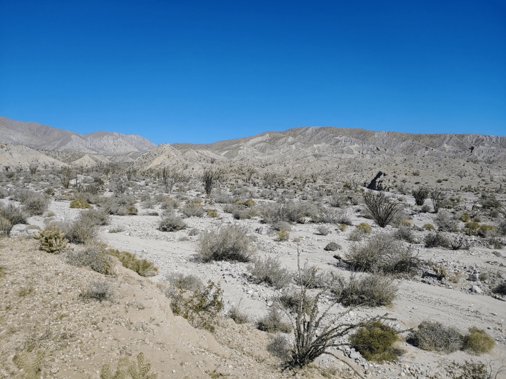
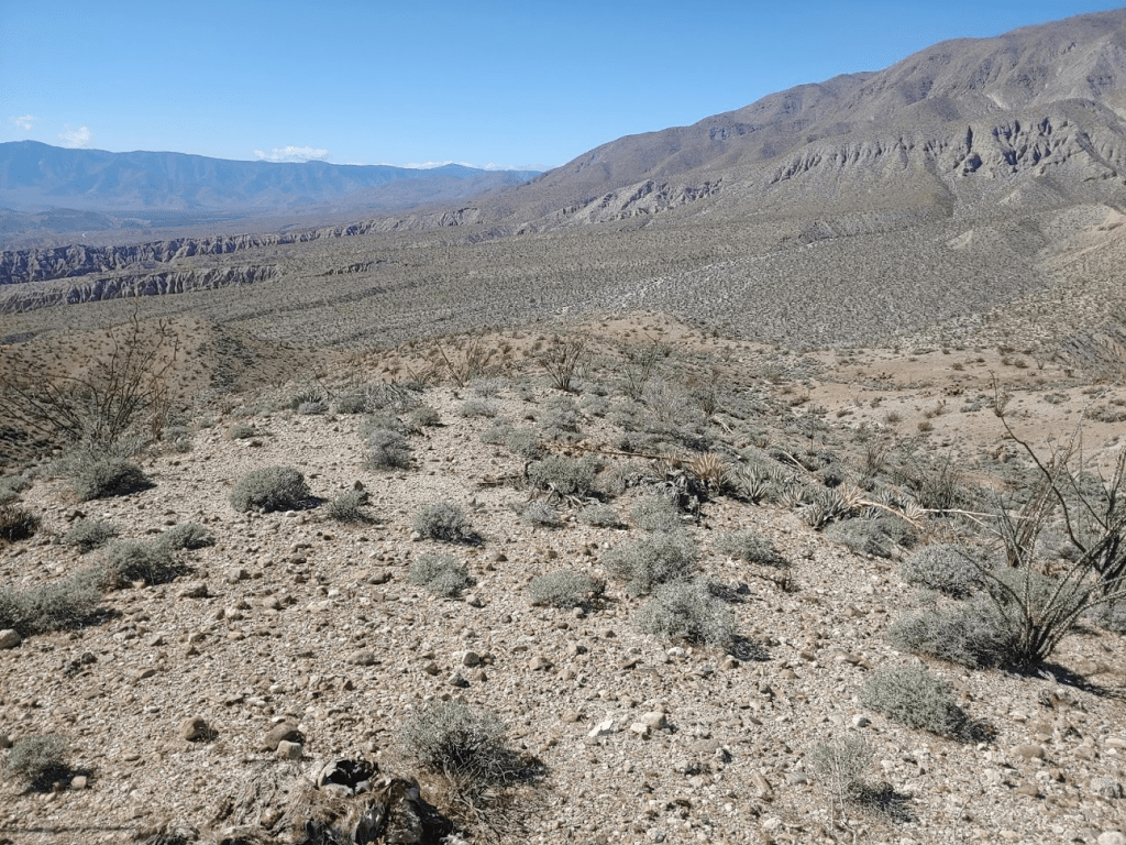
This hike would have a lot of relatively flat miles. It would be about the same elevation gain as False Sombrero, but over 5 times the total mileage. Diablo Benchmark is a foothill to the southeast of the very large Whale Peak (5349 feet). I climbed Whale Peak in December 2018. In the picture below, Whale Peak is the very large mountain on the left side. Diablo is one of the small foothills right-center.
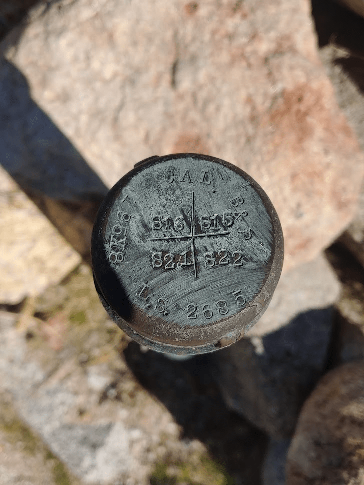
The usual route follows a large flat wash called June Wash north to the base of the peak. I decided to hike slightly to the west of the wash across open desert. One of the GPS tracks I had downloaded had coordinates for 3 “section markers” that I intended to find along the way. I’m not really sure what they are, but they were fun to locate while hiking towards my main objective. I found the first one at the 1.19 mile mark.
I entered a dense field of teddy bear cholla between the 1st and 2nd markers. I really had to go slow to avoid stepping on any “land mines”

I located the 2nd one at 1.81 miles.
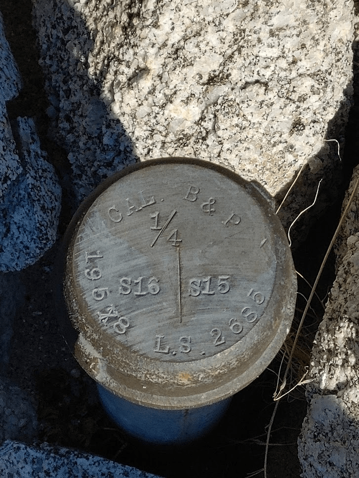
And the 3rd one at 2.43 miles

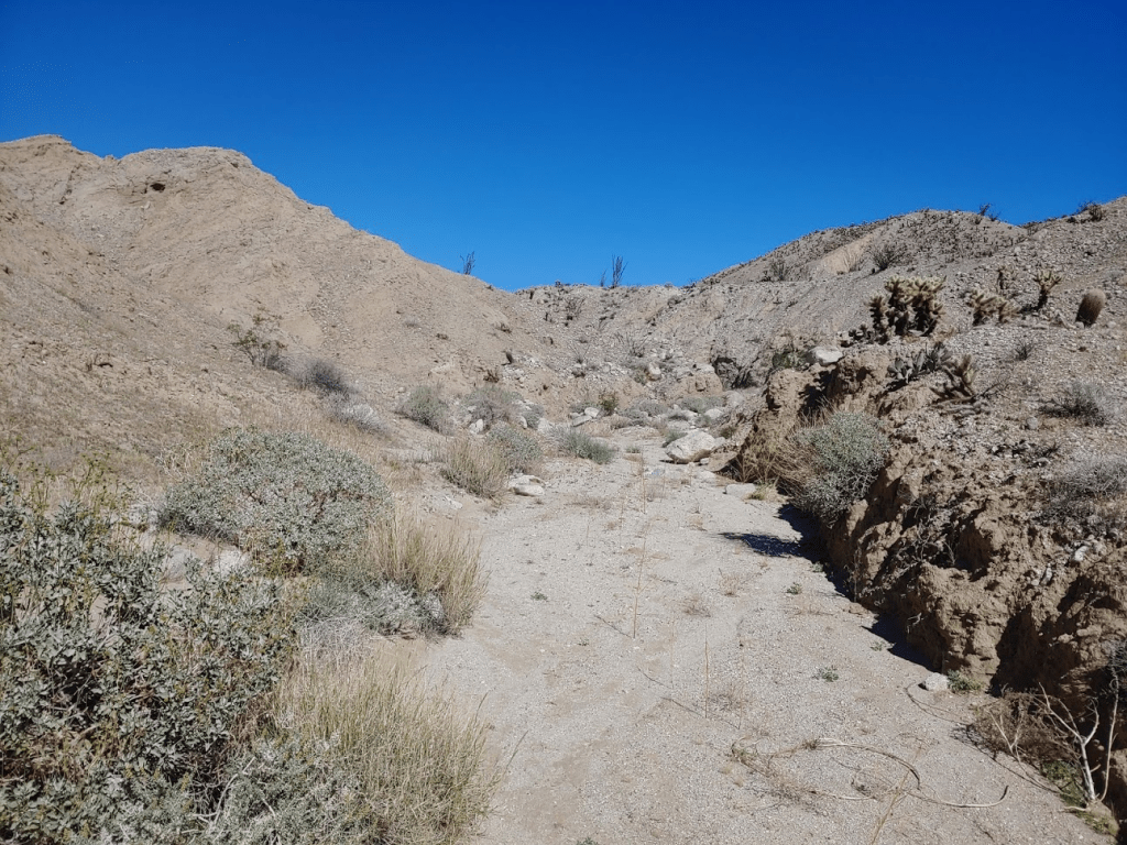
After the 3rd one I started walking through some very rugged hills (badlands).

The badlands were a maze. It would have been very difficult to stay on track without GPS.
Eventually the route joins June Wash. Diablo was close ahead.
The wash eventually forks. I went right at the fork and continued towards the peak.

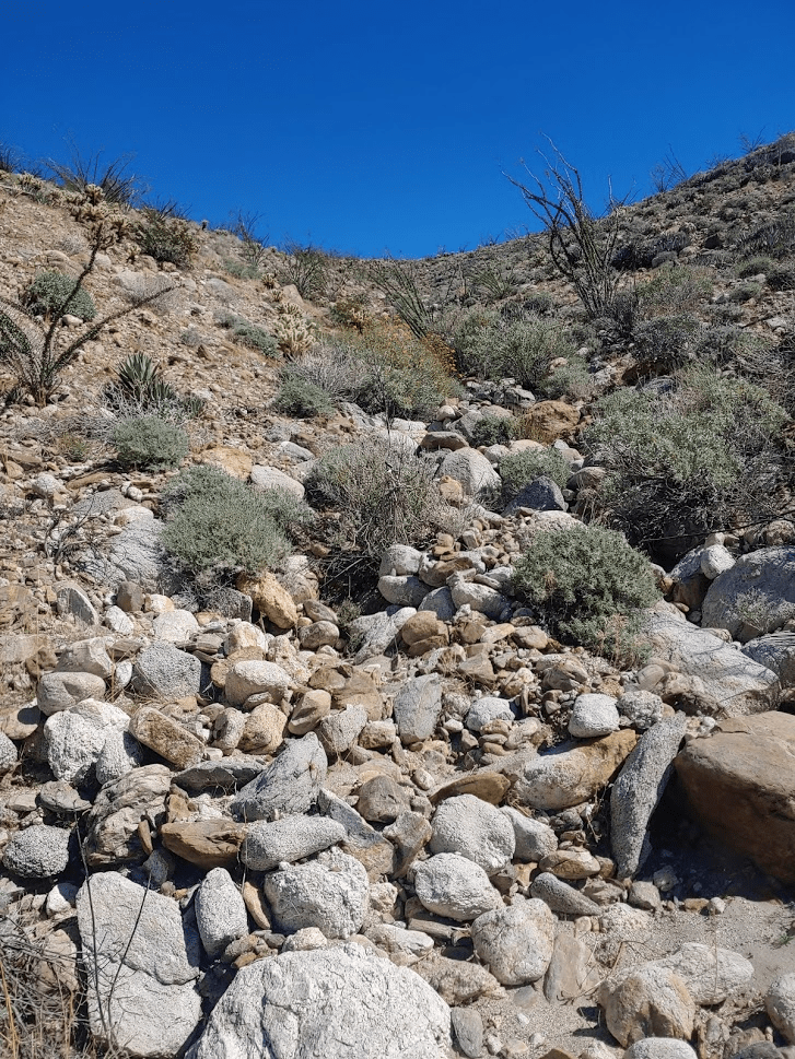
I exited the wash at 4.84 miles and climbed up a steep gully.
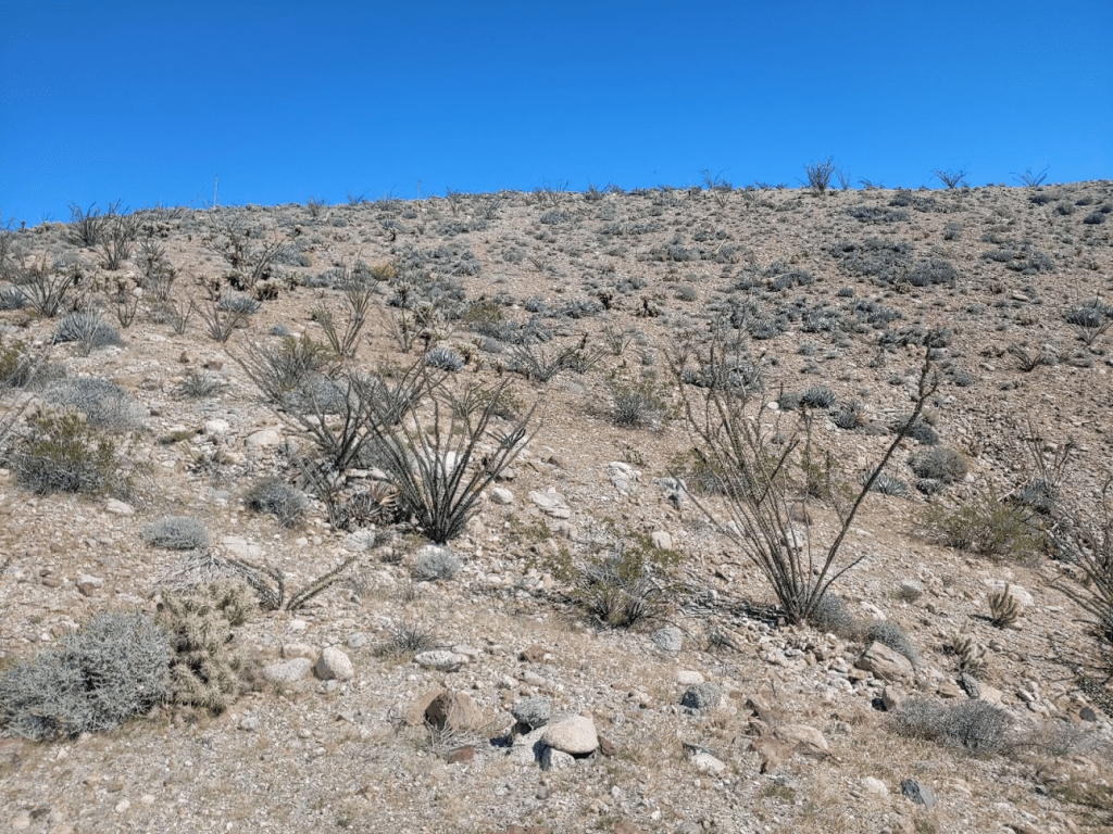
I reached the top of the gully. The summit was a short distance away up a broad ridge.
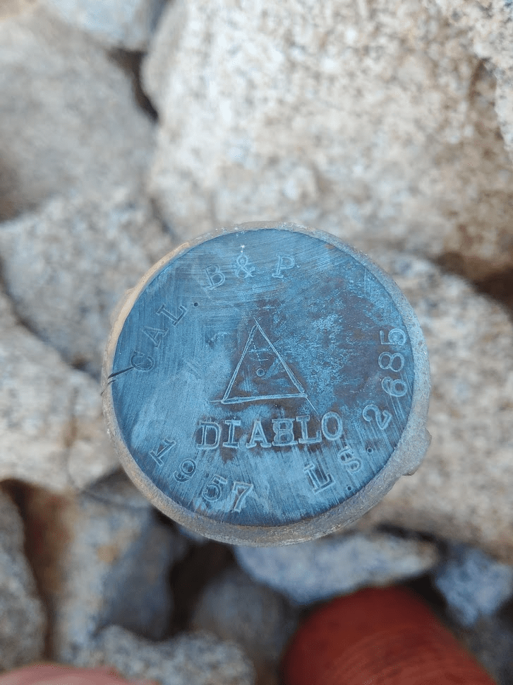
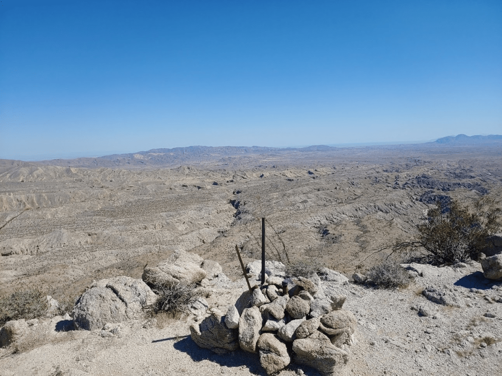
I reached the highpoint of the peak, but I realized that the actual benchmark was located about 100 feet south along the ridge. I reached the benchmark at 12:07pm. I had been hiking for 5.48 miles.
I was glad to finally reach the summit.
It was turning into a very hot day, especially for February. It was probably mid to upper 70s. The view south across the Carrizo Badlands was impressive.
Looking west, I noticed the clouds were clearing over the Lagunas.
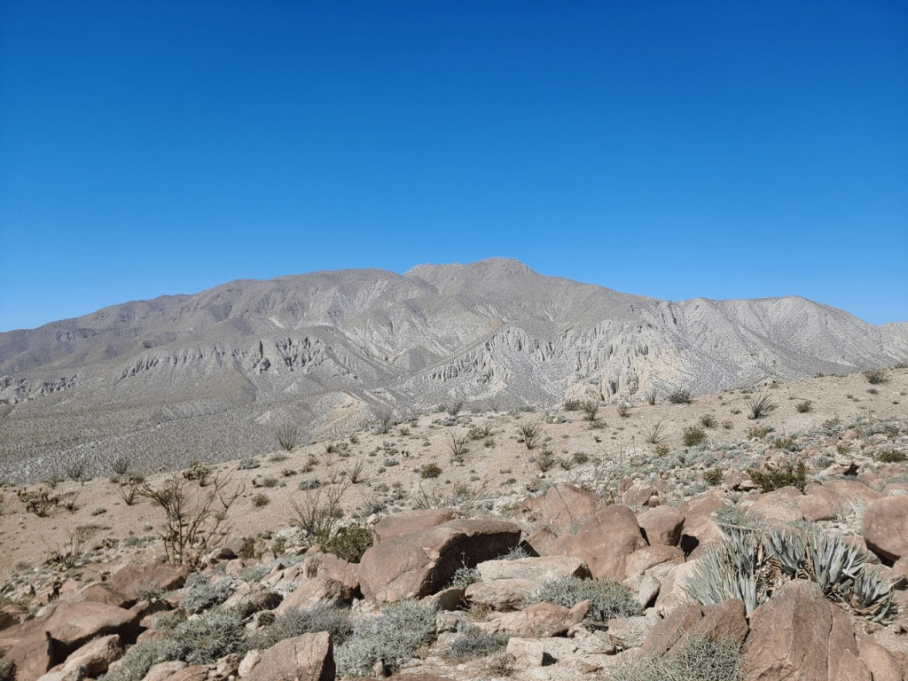
Whale Peak loomed impressively over me to the north.
I was able to make out Sombrero Peak and the windmills of McCain Valley.

I located the register near the benchmark. There were 2 inside the jar, with the newest one placed in 2018. I had some snacks and drank tons of water. After about 35 minutes on the summit, I began the descent.
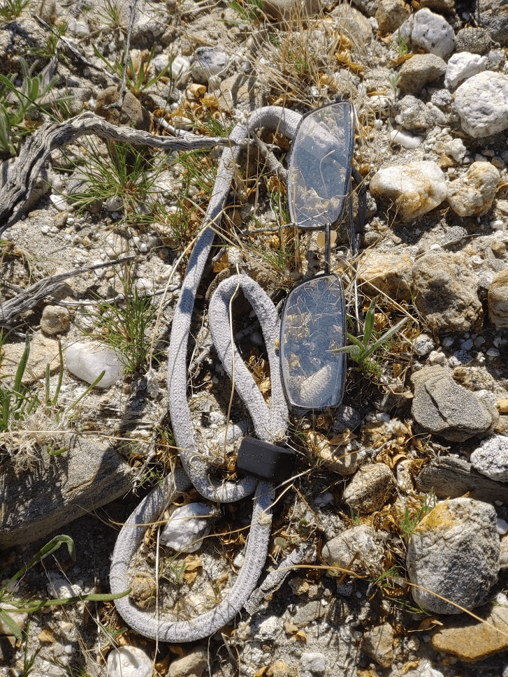
A short distance from the summit, I found a pair of eyeglasses in the sand. Very random!
I went directly west off the summit and climbed down back into June Wash.
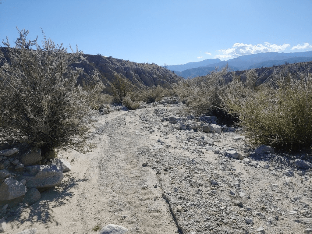
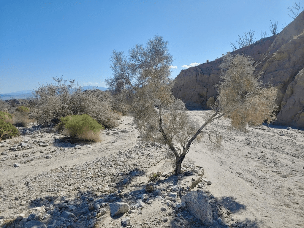
I followed June Wash the rest of the way back to the highway. The wash was wide and very sandy. There were many smoke trees in the wash.
The heat was beginning to get intense. Eventually, there are some jeep tracks in the wash.
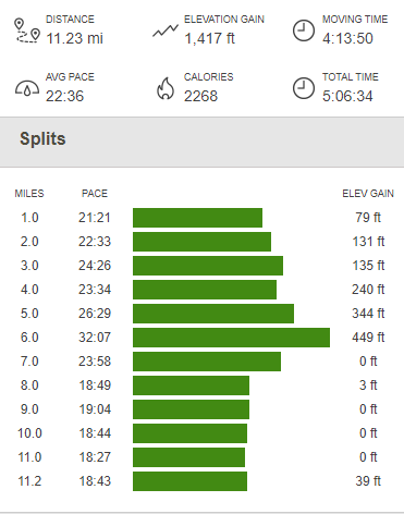
I reached the car again at 2:46pm. It had taken me just over 2 hours to descend. Totals for this hike were 11.23 miles, 1417 feet elevation gain, and 5:06:34 total time.