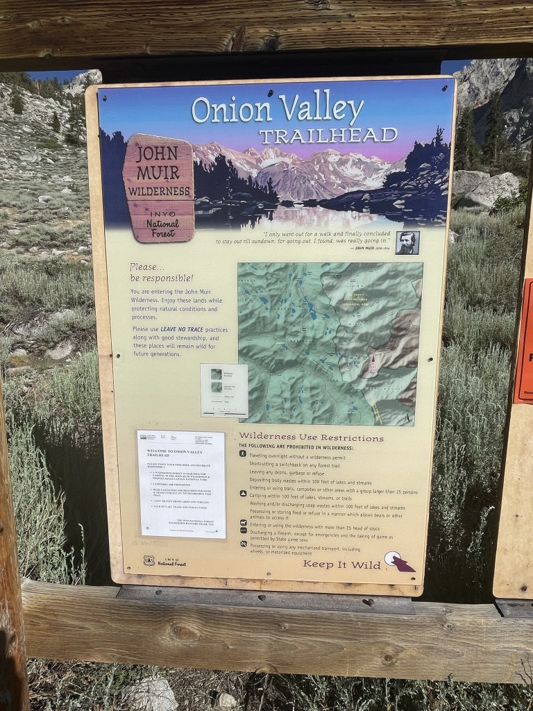
It was such a low snow year in California that much of the High Sierra was already snow free. This of course is very concerning from a wildfire perspective, especially after how bad they were the previous year. I decided to take advantage of the dry conditions and make a quick weekend trip to the Onion Valley area to climb a few more SPS peaks. I left San Diego at 3:30am and arrived at Onion Valley just after 8:30. Onion Valley, which sits at 9200 feet, is a popular trailhead in the Eastern Sierra 13 miles west of Independence. It contains a small campground, a large hiker parking lot, and an equestrian staging area. My plan for the day was to climb Dragon Peak (12927 feet) and Kearsarge Peak (12615 feet). Both peaks are located northwest of the trailhead and can each be done as a half day hike or combined into one long day. The parking lot was full when I arrived, so I had to park down the road a short way. I began hiking at 8:45am from 9070 feet.

I walked up the road and reached the trailhead at 0.2 mile.
The trail went west a short way and then made a sharp turn to the north. The weather was absolutely gorgeous – mid 70s, no wind, and not a cloud in the sky.
I reached a trail junction at 0.6 mile. I went right towards the Golden Trout Lakes.

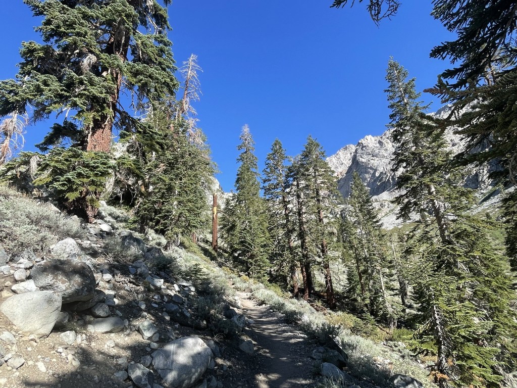
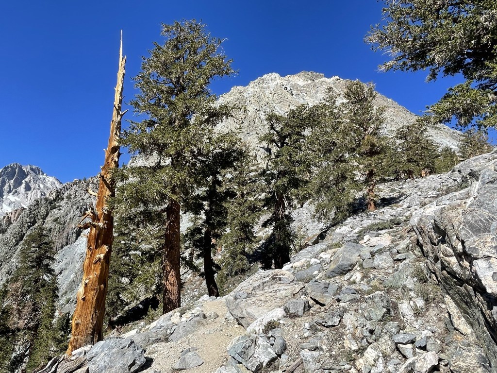
The trail got much steeper after the junction. I passed a few groups of hikers and backpackers along the way.
I crossed a creek and then spotted a waterfall above me.
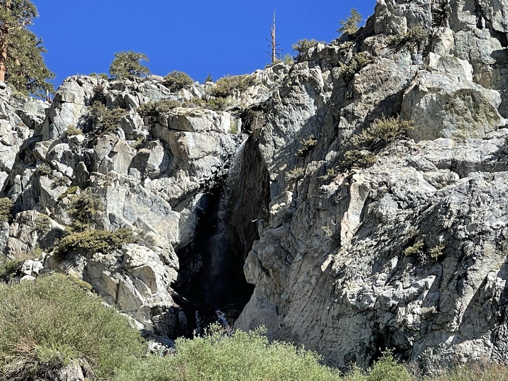
The trail went north and then bent to the west. I crossed the creek again just above the waterfall. The scenery was really stunning.
The trail paralleled the creek for the next mile or so as it continued to gain elevation.

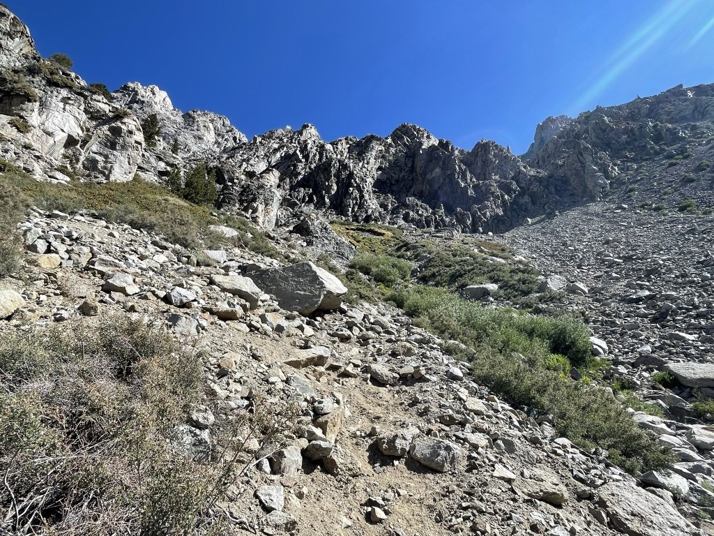
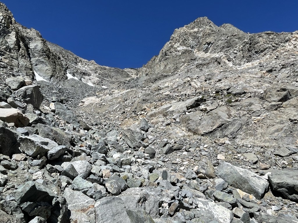
At 1.8 miles the trail faded as I crossed a boulder field.
At 2 miles I reached a large meadow.
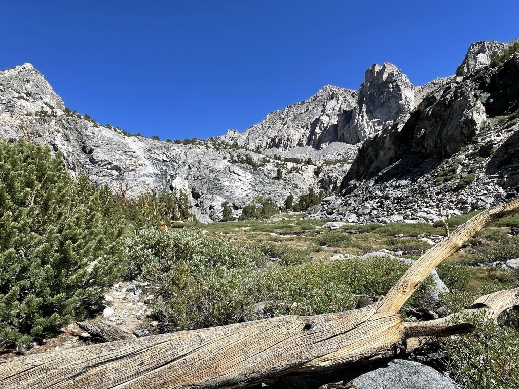
The trail splits here into a south and north spur. The south spur leads to Golden Trout Lake, and the north spur leads to 2 unnamed lakes. I took the north spur as I proceeded across the meadow.
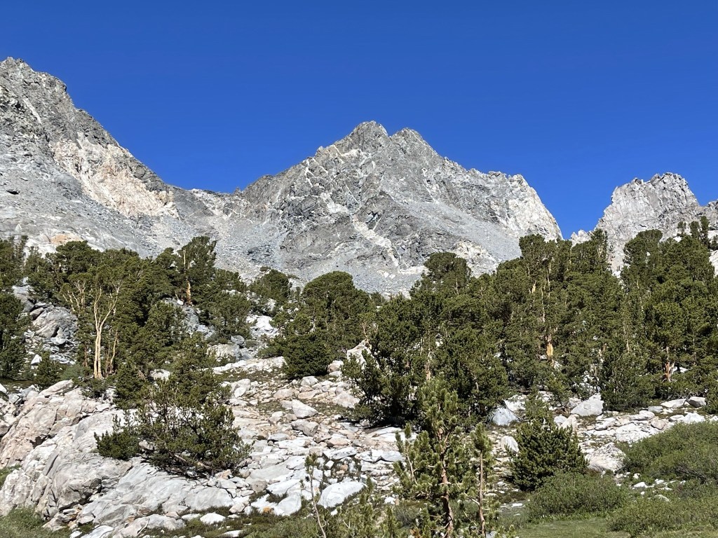
The trail climbed above the meadow to the north and then turned west again. I got my first look at Dragon Peak.
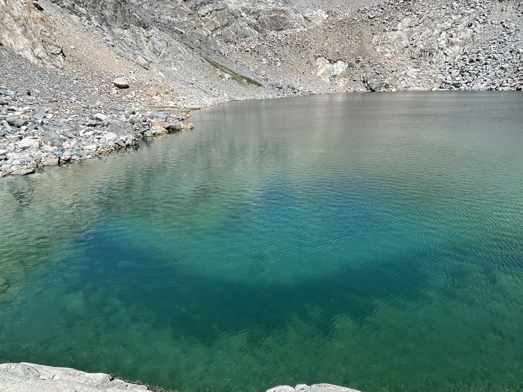
I reached the first lake at 2.6 miles. The lake is pretty small and sits just below the tree line. I saw 2 people sitting on the edge of the lake flying a drone.
I walked around the south side of the lake along the rocky shoreline.
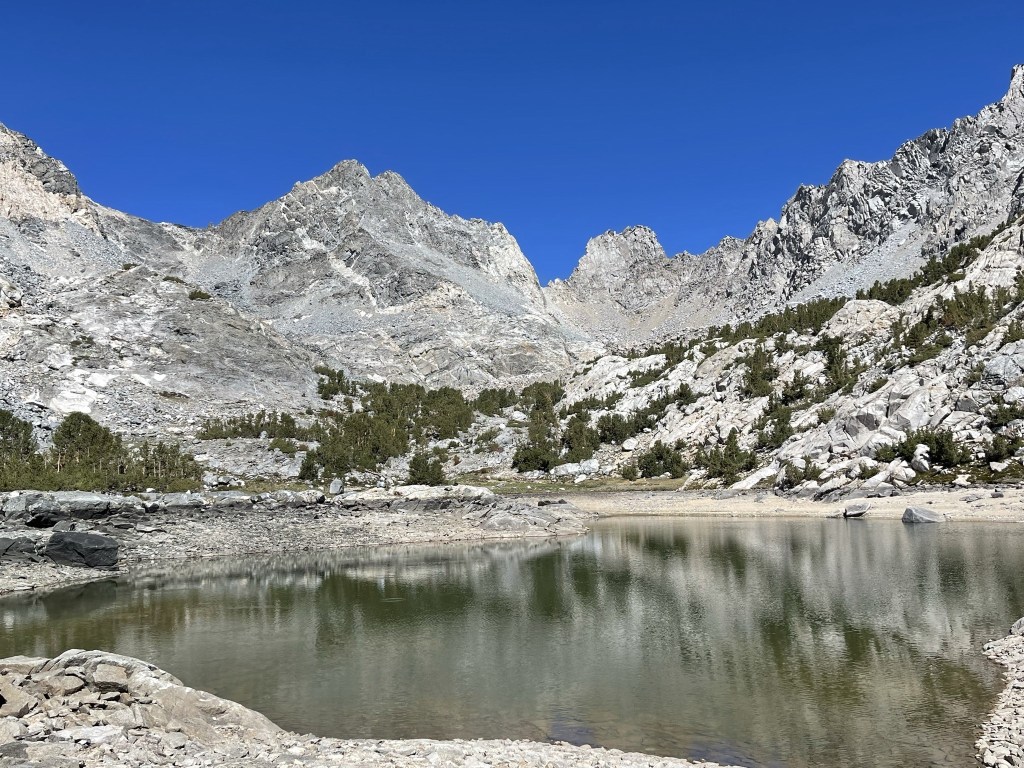
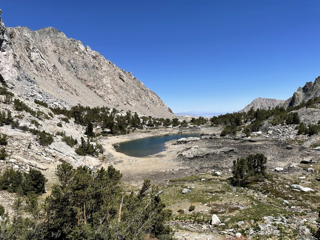
I reached the second lake at 2.9 miles. At 11405 feet, the lake is just above the tree line. Dragon Peak rises about 1500 feet above the western side of the lake.

I hiked around the southern side of the lake. The water was so clear I could even see fish in it (perhaps 8-10 inches).
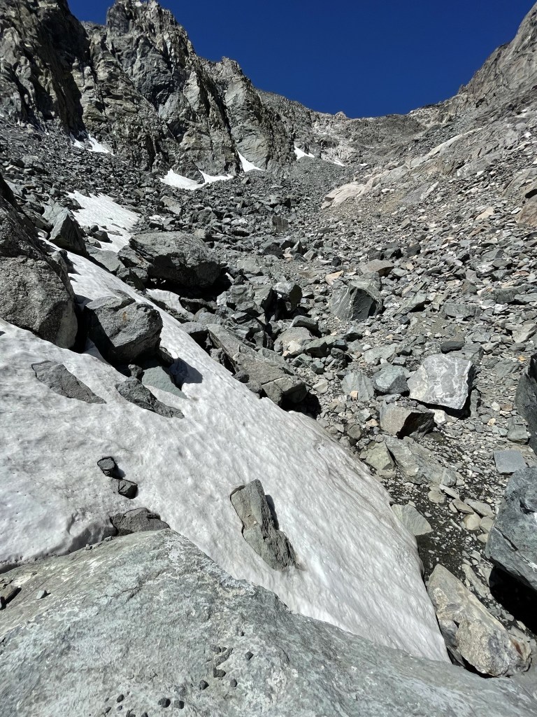
I reached the western shore of the lake at 3.1 miles. There is a steep chute that leads from the lake up to Dragon Pass just south of the peak.
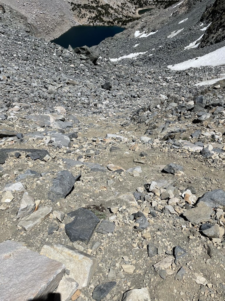
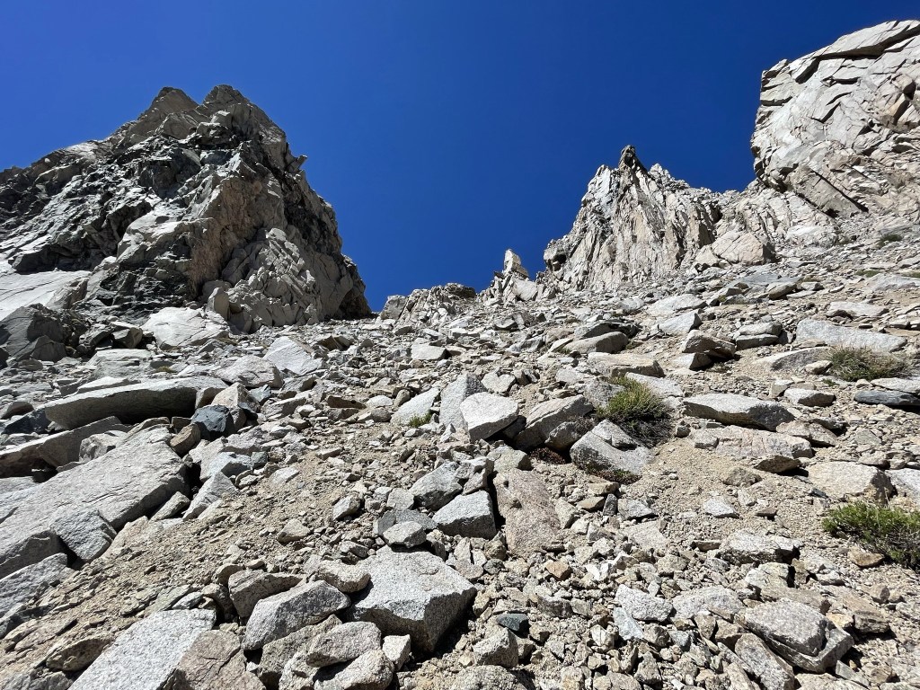
I began hiking up the chute towards the pass. There was some lingering snow in the chute, but it was avoidable.
I made my way slowly but surely up the chute. It’s not easy going from sea level to over 12000 feet in one day!

Thankfully, the chute was comprised of medium sized talus which was much easier to climb up than sand. There was a sandy use trail in spots, but I avoided it on my way up.
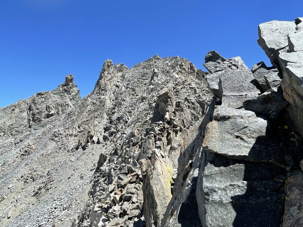
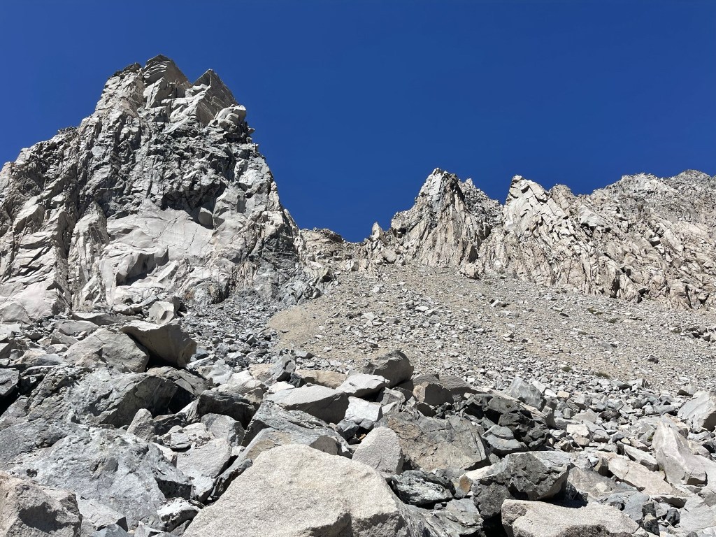
The chute narrowed and got steeper towards the top.
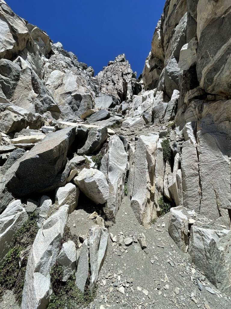
Eventually I reached a section that was beyond my climbing ability just below the pass. I was surprised to hear voices above me on the ridgeline.

I managed to find a class 3 route up to the pass just a little ways to the south. I reached Dragon Pass at 3.9 miles at 12621 feet. The two hikers I had heard talking appeared on top of the ridge just as I climbed up. They were coming down from Dragon Peak and appeared to be heading south along the ridge towards Mount Gould. We chatted briefly and then I turned north towards the peak.
The traverse along the ridge was a lot of fun. Careful route finding was required.
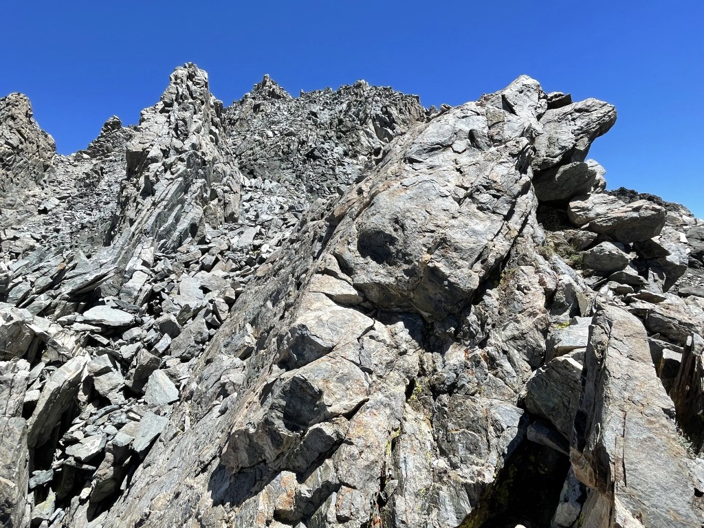
A few class 3 moves were required to proceed. I generally stayed just below the ridge on either the left or right side.
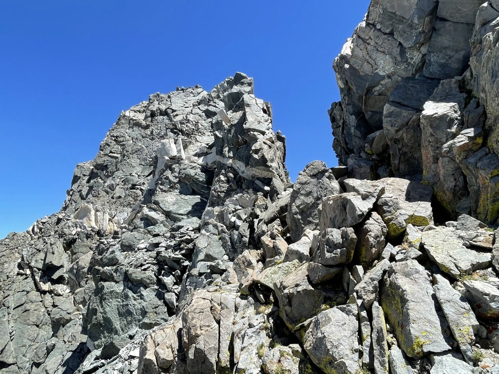
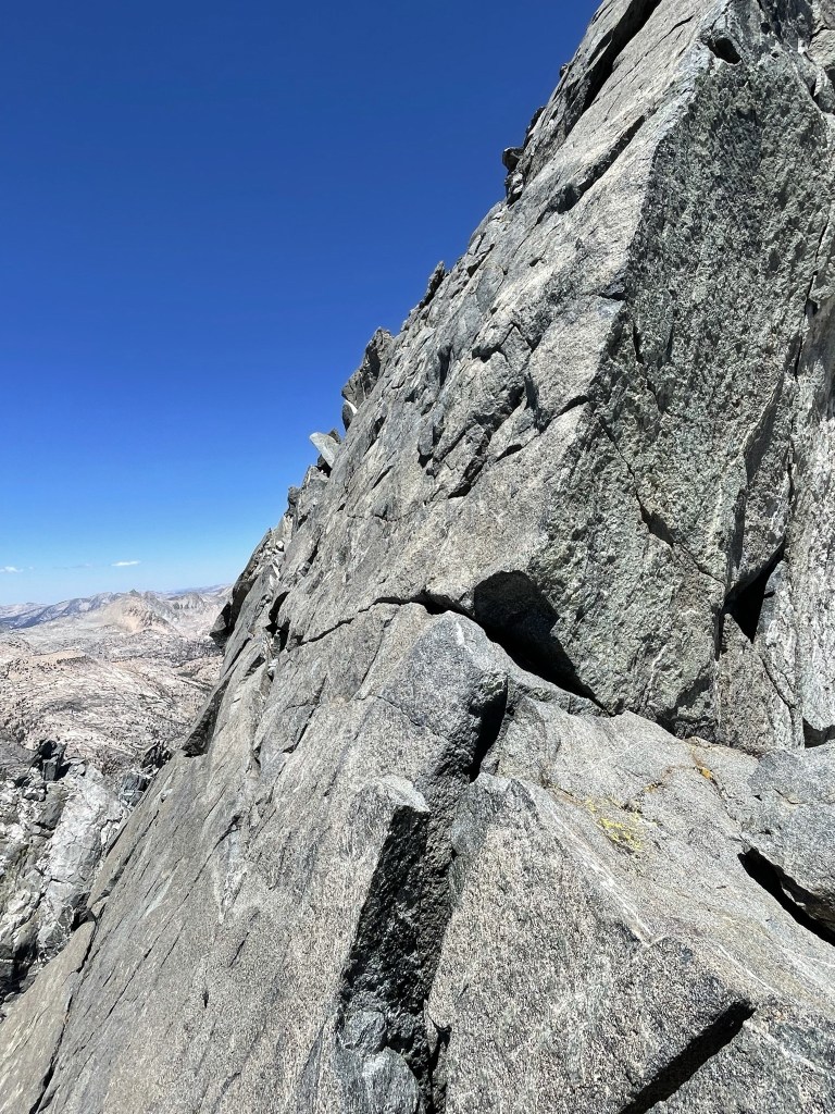
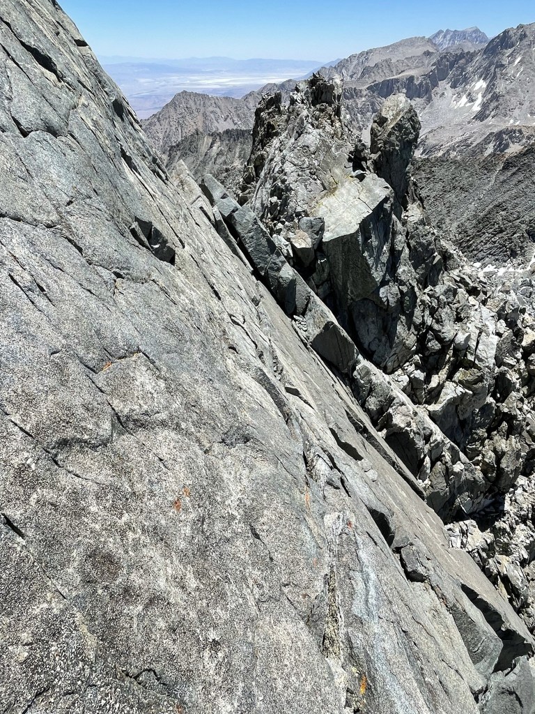
Eventually I reached a narrow ledge just below the summit. I had read about this infamous ledge and was ready for it. It is completely non-technical and is a psychological barrier more than anything. Basically, it is a 3-4 inch wide ledge that slopes downward into the rock. The rock slab itself is sloped perhaps 60 degrees so you can lean against it, plus there are decent hand holds along the way. The entire thing took about 20 seconds to traverse. I won’t lie – my knees were shaking a little, but it really wasn’t difficult at all.
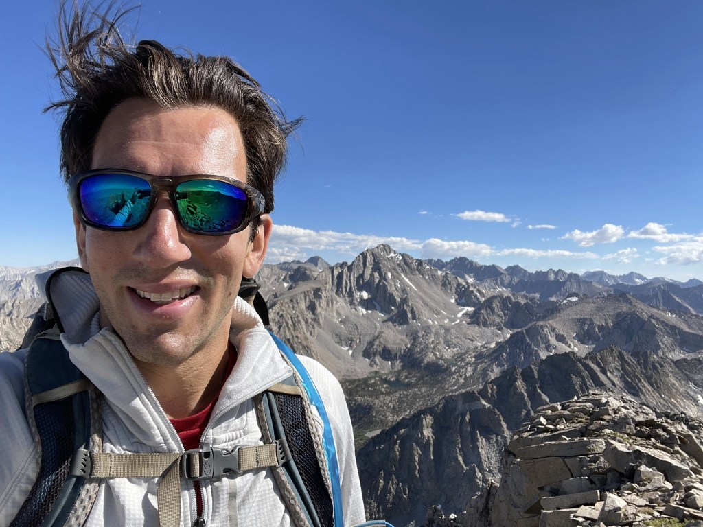
Once I was on the other side of the ledge, it was a short scramble to the top. I reached the summit at 12:12pm at 4.2 miles!
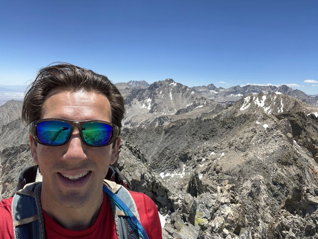
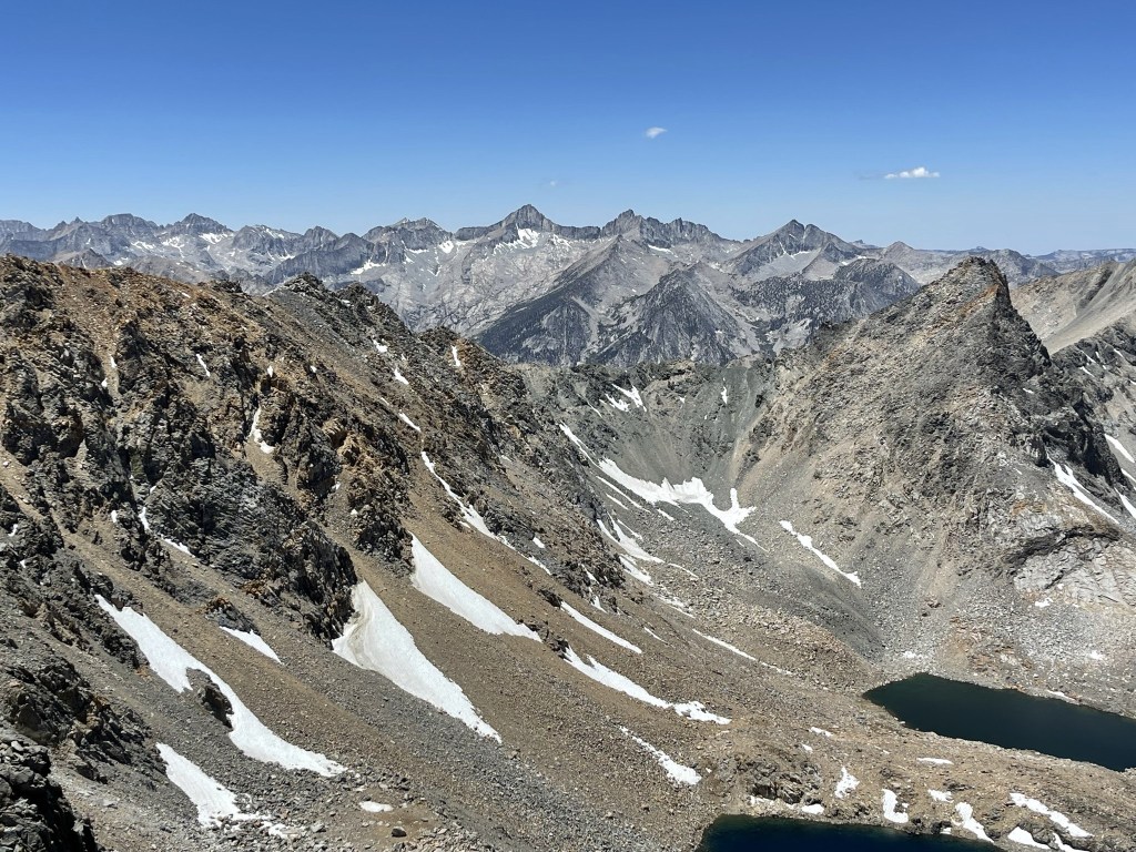
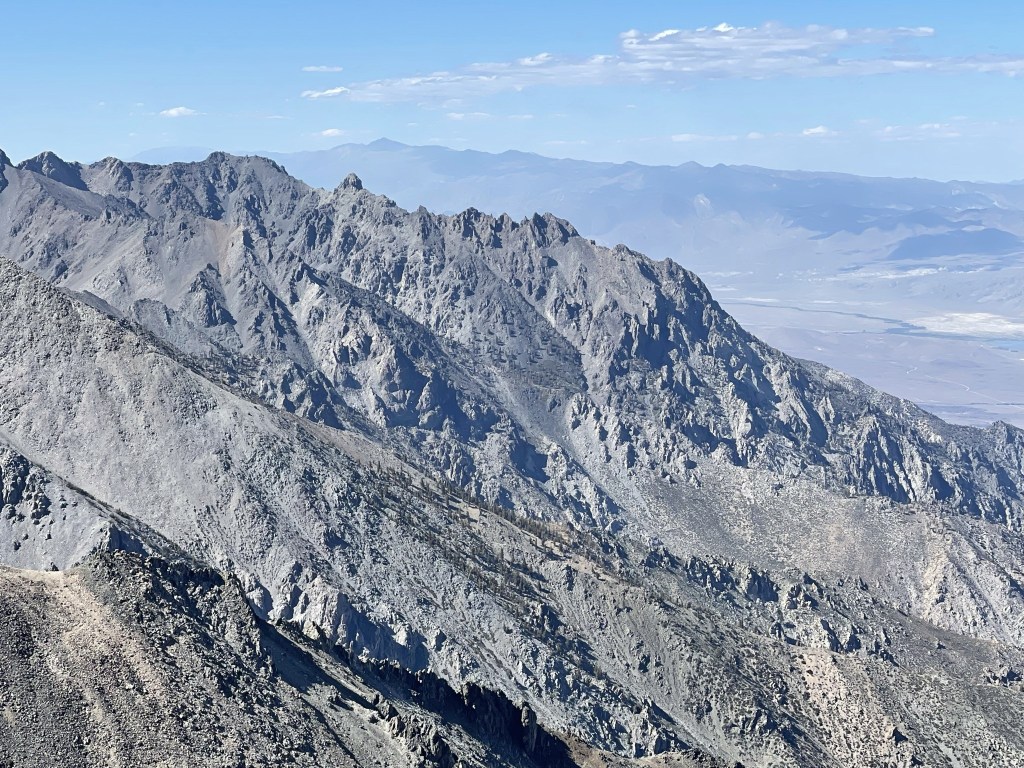
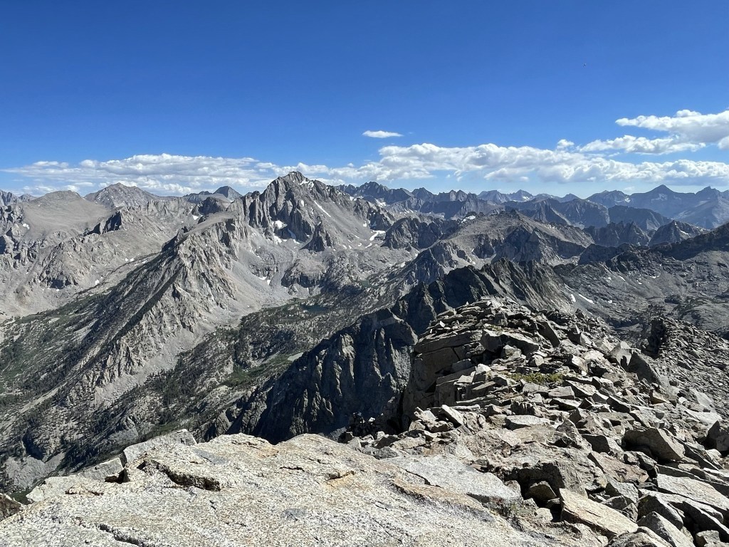
I signed the register which dated back to 2006. I was surprised to find 6 entries for today’s date. Since I had only seen 2 other hikers, I wondered if they were part of a larger group that I hadn’t seen, or if there had been 2 separate groups. It was a perfectly clear day, so the views were spectacular. To the south I was able to identify Mount Williamson (left), University Peak (left center), and Junction Peak (center), among others. At 14379 feet, Mount Williamson is the 2nd highest mountain in California.
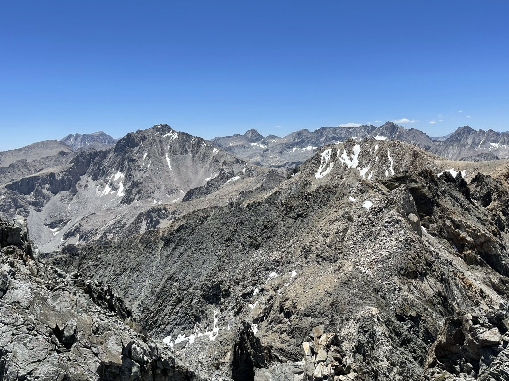
I planned to climb University the next day. Here is a close up of University’s north face, which would be my ascent route:
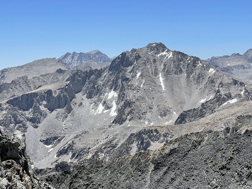
Looking southwest:
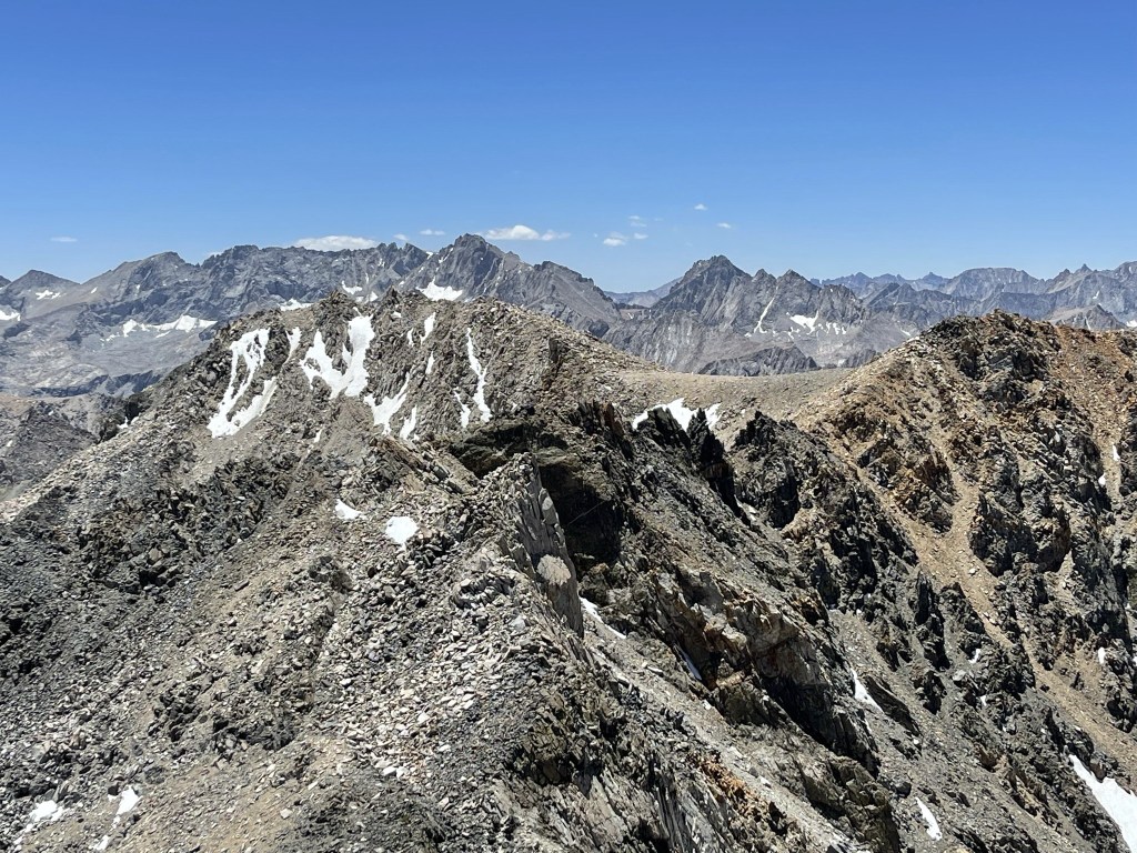
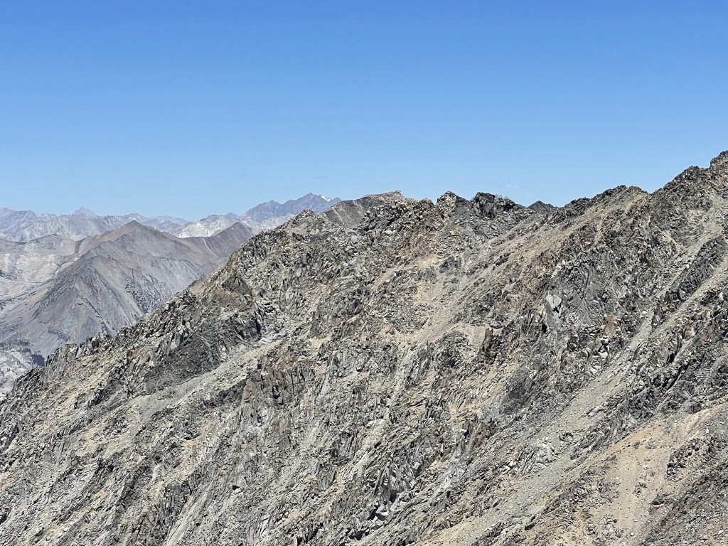
Looking west:
Looking northwest:
To the north I could see North Palisade in the distance. At 14249 feet, North Palisade is California’s 4th highest peak.
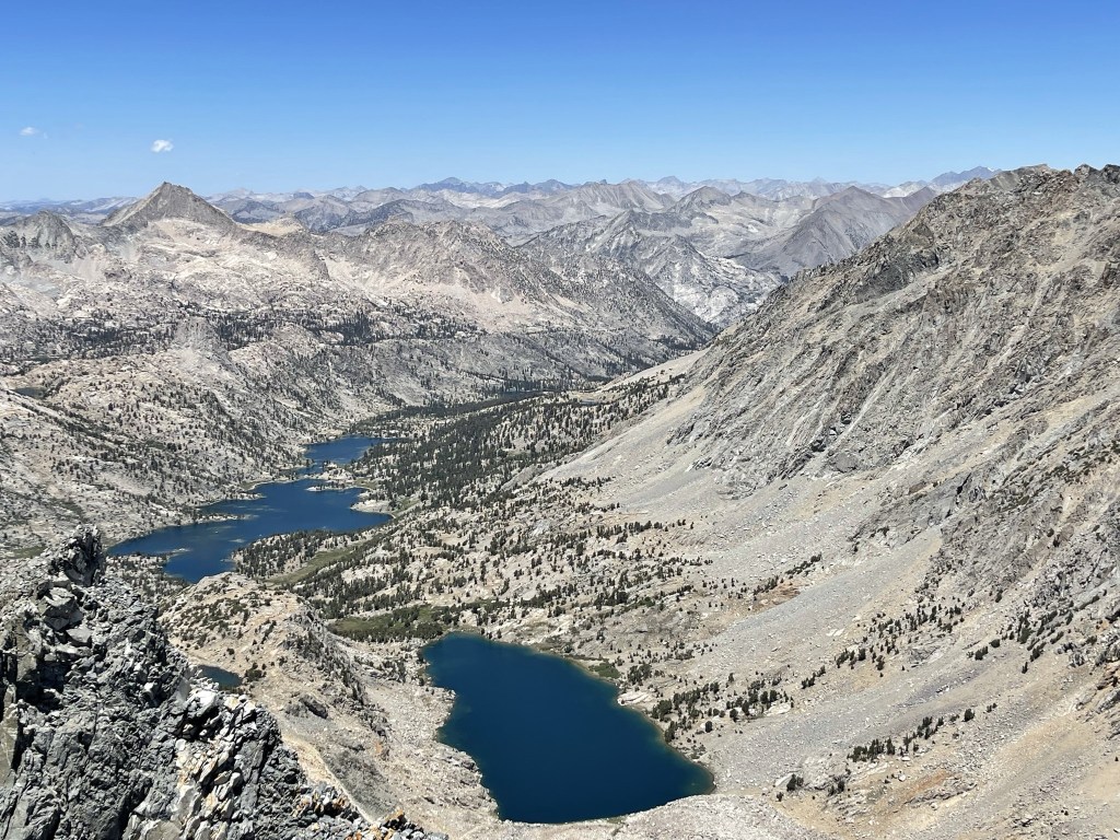
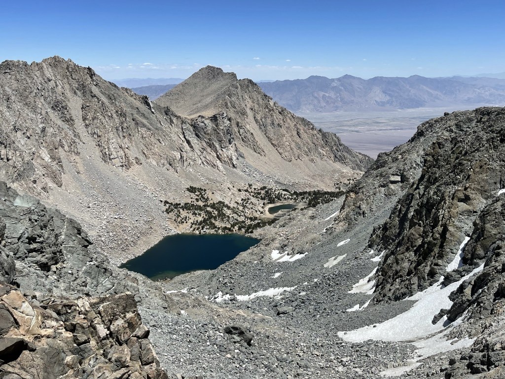
Down below I could see the 2 unnamed lakes I had hiked past.

I began descending after a 35 minute break. I carefully made my way across the ledge again. It was probably a little scarier going down.
I proceeded south along the ridge towards Dragon Pass again.

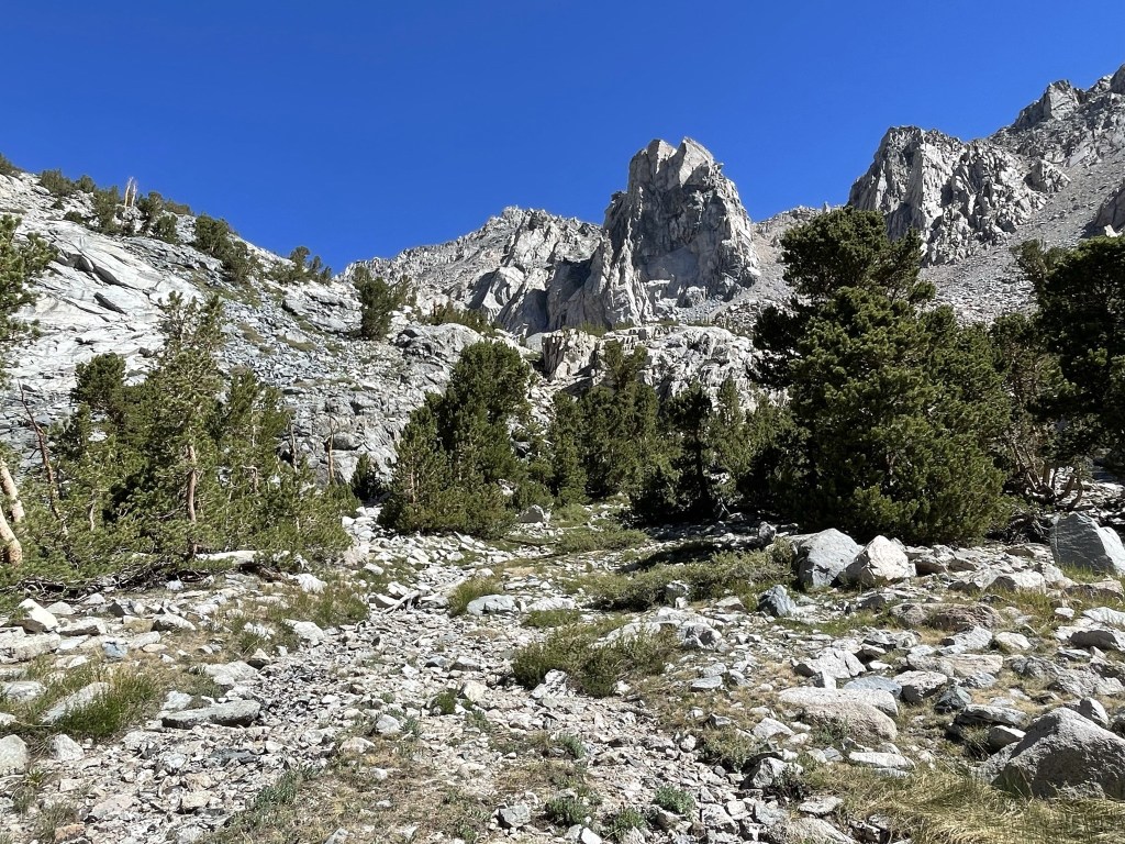
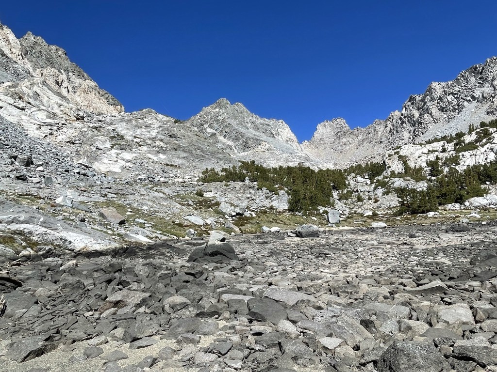
I climbed back down the chute towards the lakes. Kearsarge Peak, my next destination, is the peak in the center.
I followed the sandy use trail that I had avoided on the ascent as much as I could. I heard running water from snowmelt underneath my feet as I descended. I also saw some bighorn scat.
I reached the upper lake again at 5.3 miles.

I hiked around the southern shore of the upper lake and then reached the lower lake at 5.7 miles. This time, I went around the northern side.
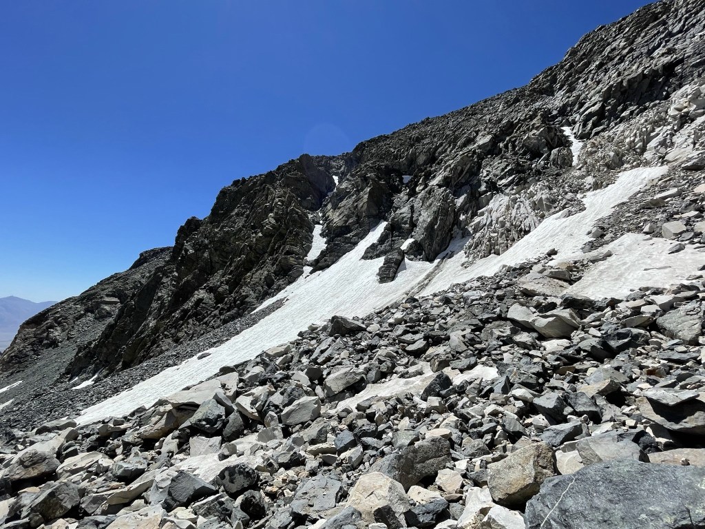
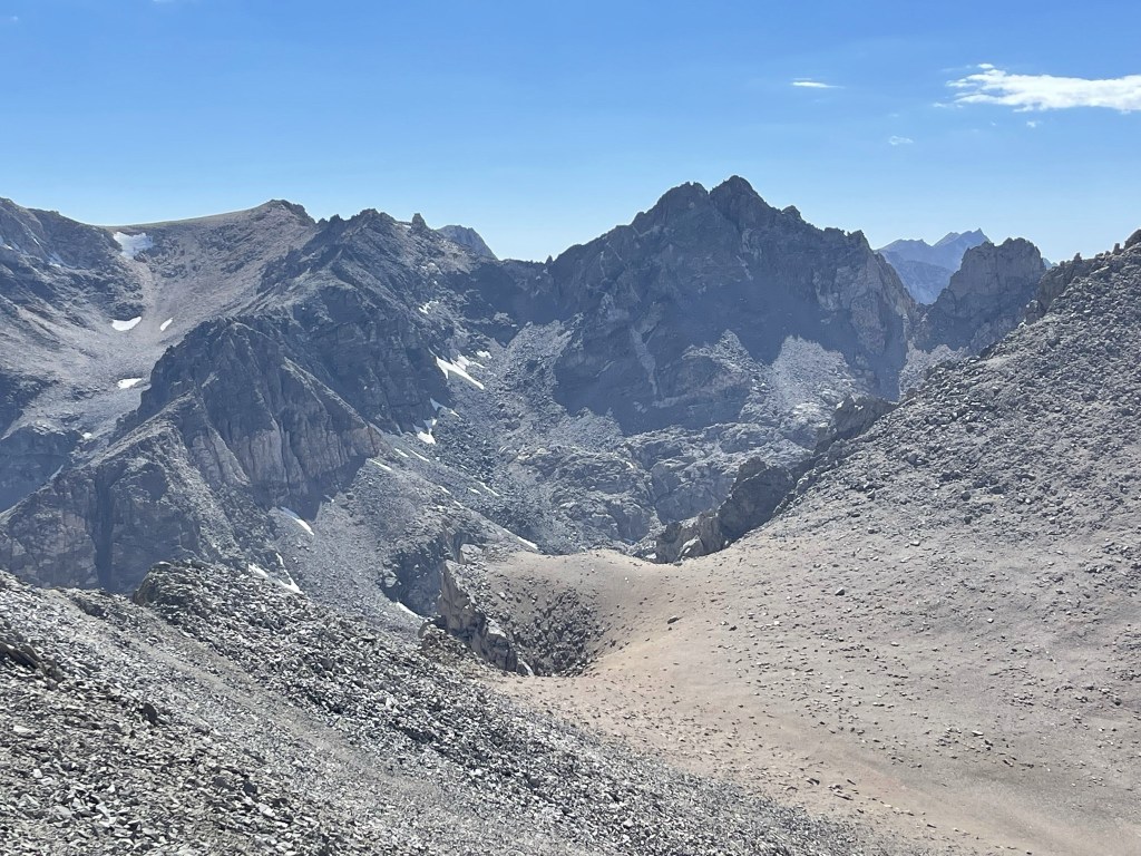
Once I was around the lower lake, I turned north towards Lilley Pass. The pass is the low spot in the center below:
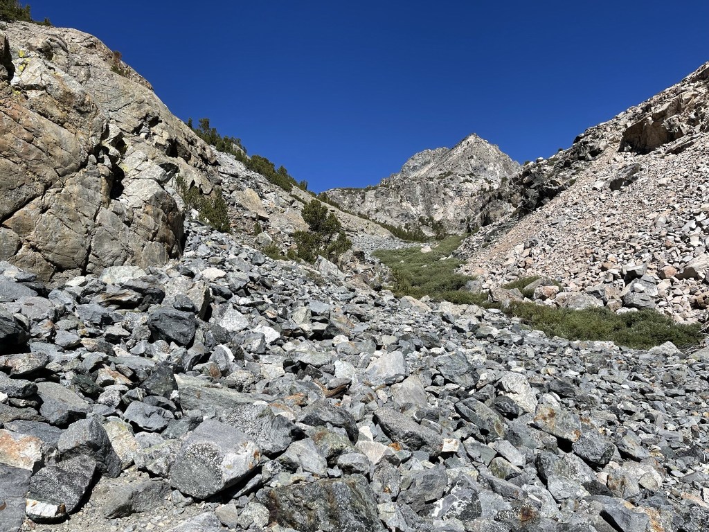
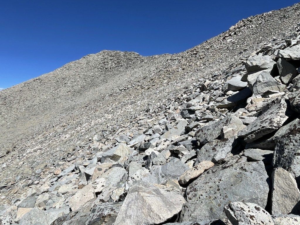
The chute leading up to Lilley Pass was steeper and sandier than the chute leading to Dragon Pass.
The chute narrowed and got even steeper towards the top. I was really starting to feel the altitude now, plus I was exhausted from already climbing Dragon Peak earlier in the day.

At 6.4 miles I reached Lilley Pass 12031 feet. I turned east towards Kearsarge Peak.

The route was straightforward from here. I simply followed a straight line towards the summit, gradually gaining elevation along the way.
The side hilling was a little tedious.
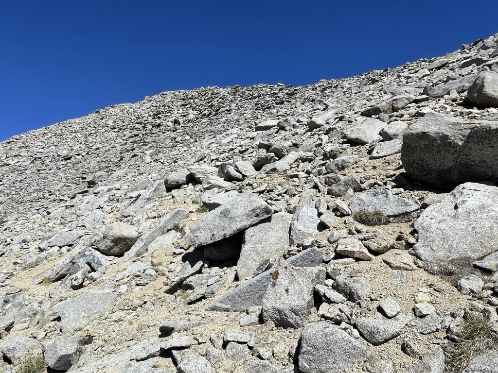
Eventually I gained the ridge southwest of the summit.
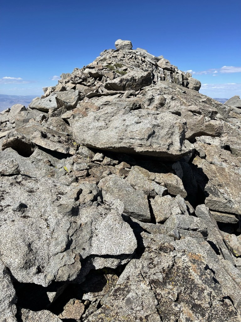
From there it was an easy scramble to the top (nothing above class 2). I reached the summit at 3:59pm at 7 miles!
It was windy on the summit, so I put my jacket on for the first time all day. I signed the register which dated back to 2006. The previous entry was from June 7. The views were excellent, but not quite as good as Dragon Peak. To the north I could see White Mountain Peak in the distance:
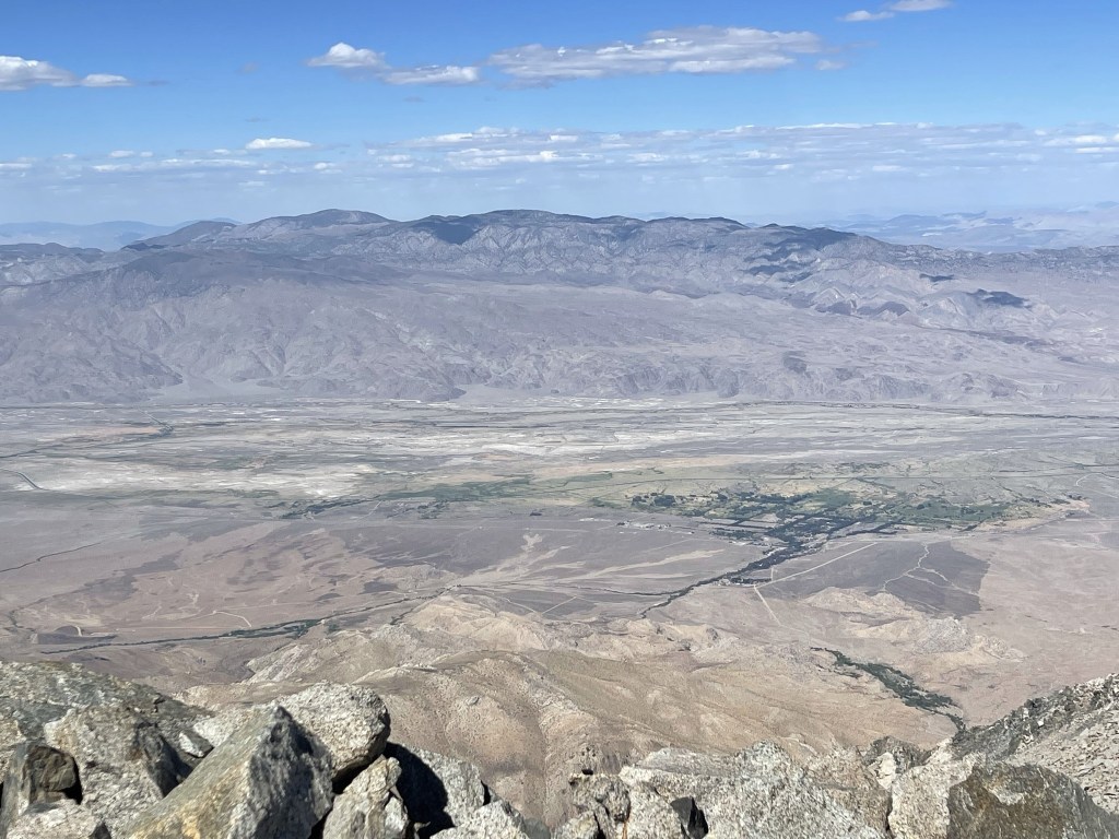
To the east I could see Waucoba Mountain with the town of Independence in the foreground.
To the southeast I could see Mount Inyo, Keynot Peak and New York Butte. Telescope Peak could also be seen off in the distance (far right).
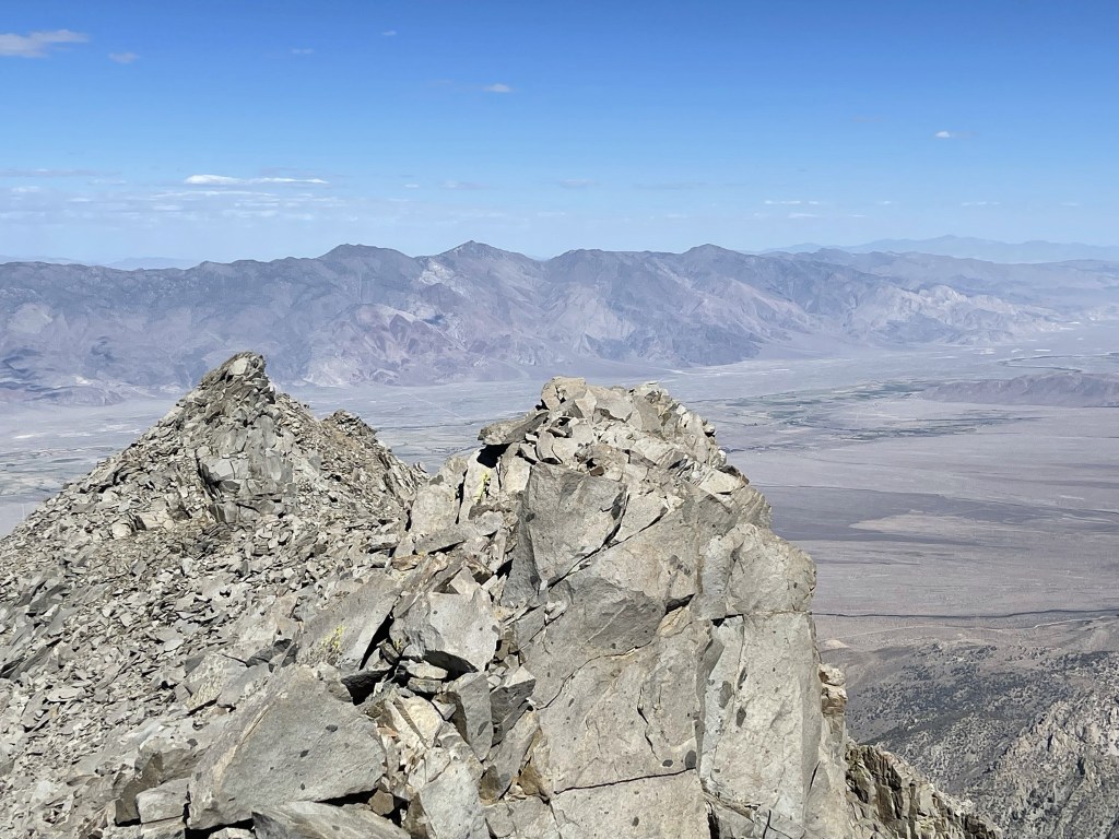
The southwest view was of course spectacular. University Peak (left center) stood tall above Onion Valley.
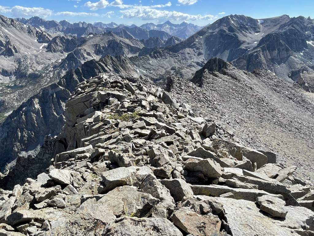
Dragon Peak was just a few miles directly west:
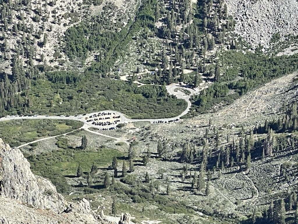
Down below I could see the trailhead and campground:
I began descending just after 4:30. I followed the ridge instead of side hilling back to Lilley Pass.
I chose to descend an alternate chute slightly east of the one I had climbed to Lilley Pass. Other climbers had recommended this as a descent route since it is sandier than the other one. I reached the top of the chute at 7.3 miles.

I made pretty good time down the chute. It definitely would be awful to ascend due to how sandy it is.

I reached the trail again at 7.8 miles. From there it was about 2.5 miles and 2000 feet back down to the trailhead. The sun was starting to get low in the sky behind me.

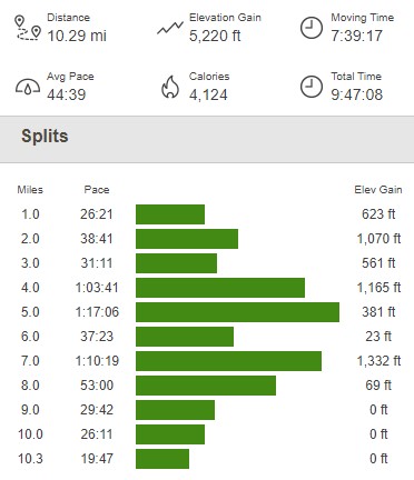
I reached the car once more at 6:32pm. This hike totaled 10.29 miles, 5220 feet elevation gain, and 9:47:08 total time.

I was planning to hike from the same trailhead the next day, so I was thankful I didn’t have any driving to do after such an exhausting day. I had a relaxing evening and a good night of sleep.
