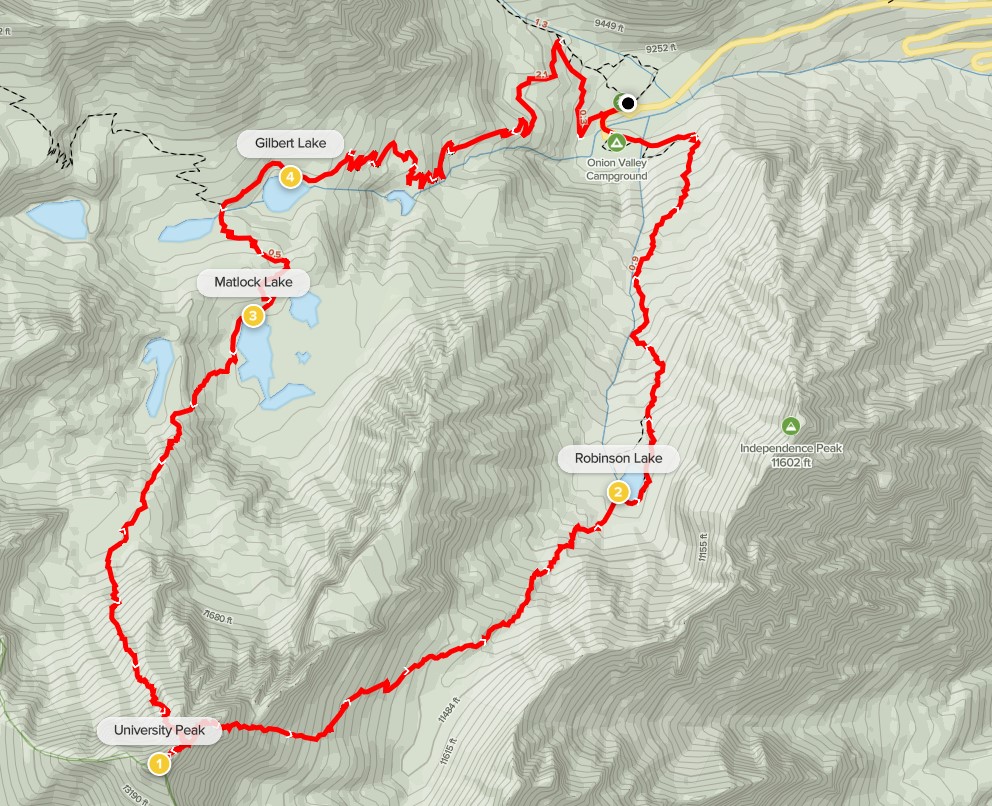
University Peak is a 13589 foot peak located in the Onion Valley area west of Independence. It has over 1000 feet of prominence and is the highest peak in the immediate vicinity. There are a few routes up to its lofty summit, so I decided to make a loop by ascending the north face and descending the east slope. Both routes would be steep class 2 with a little class 3 mixed in. I also hoped to add on 11742 foot Independence Peak on the way back if I had time and energy. I had slept in my car at the trailhead after climbing Dragon and Kearsarge Peaks the previous day. I woke up at 4:30am and quickly got ready. I began this hike at 5:06am from 9174 feet above sea level.

Just as I had done the previous day, I hiked up the trail as it went west and then turned north.
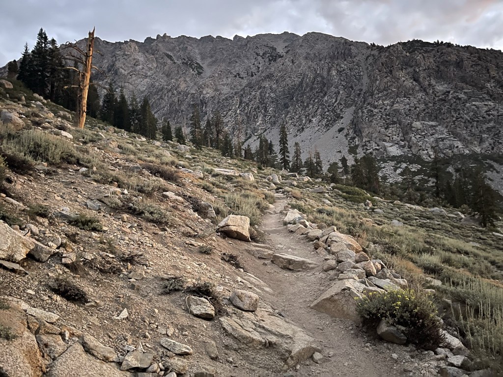
It looked like it was going to be another gorgeous day. I was comfortable in short sleeves even so early in the morning. At 0.5 mile I reached a trail junction. This time I went left on the Kearsarge Pass Trail.

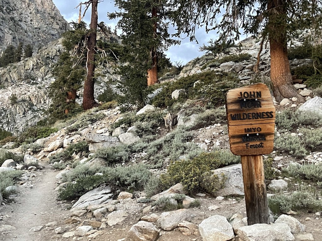
After the junction the trail went back south. At 0.8 mile I entered the John Muir Wilderness.
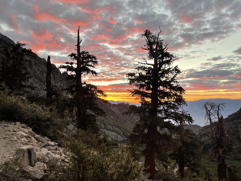
The eastern sky was beginning to light up.
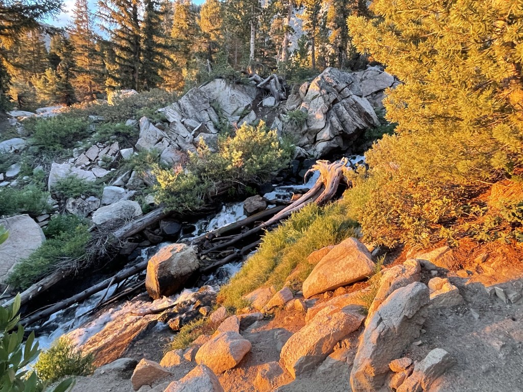
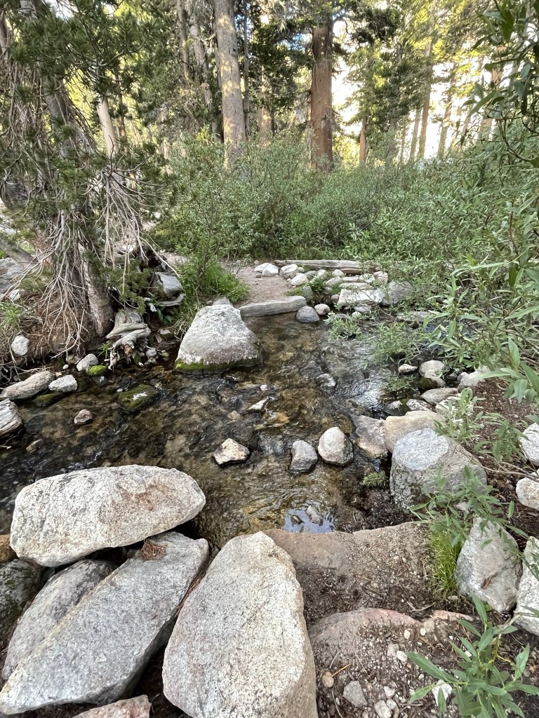
The trail turned west and then followed Independence Creek for the next mile or so. The mosquitos were so bad near the creek I could barely stop to take a picture.
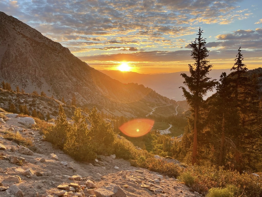
At 5:38am the sun rose above the Inyo Mountains to the east.
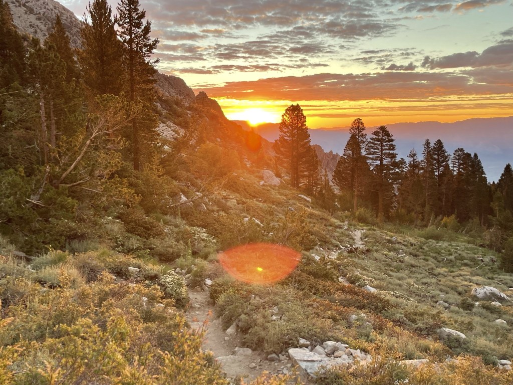
The morning sun lit up the mountains in front of me, including University Peak which was now visible.
The sunrise was really pretty.
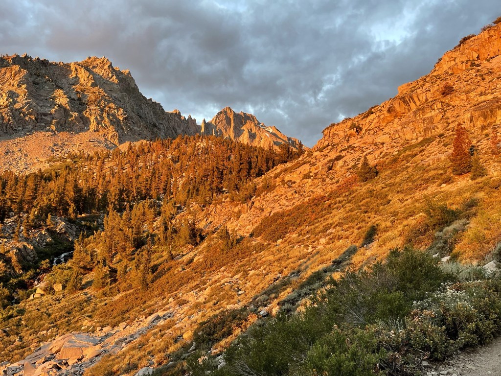
University Peak looked pretty formidable.

At 1.6 miles I reached Little Pothole Lake.

The trail continued west as it made a few switchbacks above Little Pothole Lake.
I noticed horse poop all over the trail. At 2.4 miles I reached Gilbert Lake.
I continued above Gilbert Lake. At 2.6 miles I reached the turnoff for Matlock Lake.

I crossed to the south side of the creek.
I hiked south as the trail went by the eastern edge of Flower Lake (didn’t get a great look at this lake through the trees).

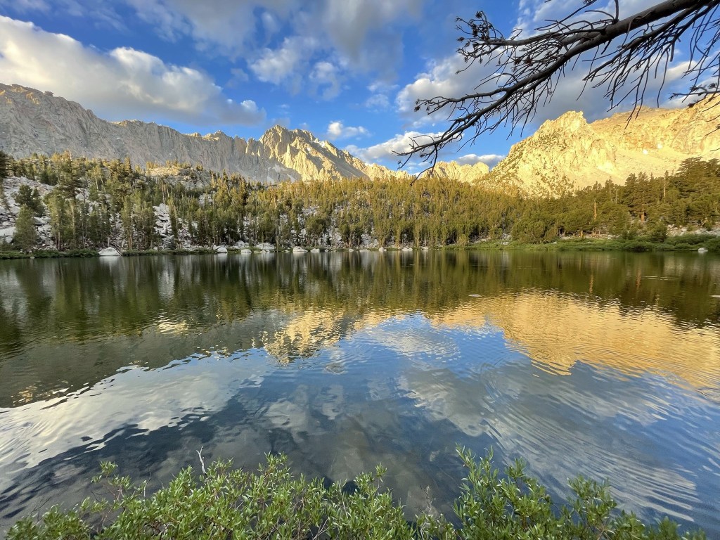
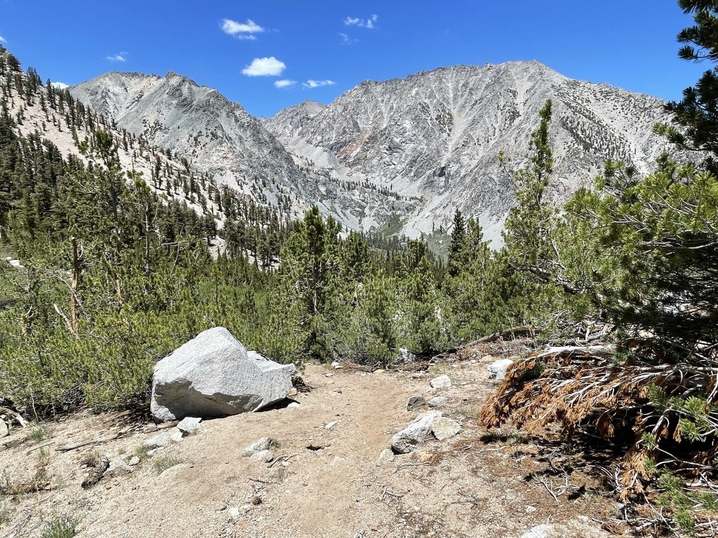
I saw a few tents near Flower Lake and a few more as I neared Matlock Lake. I reached Matlock Lake at 3.2 miles. University Peak loomed large above the lake.

I hiked around the western shore of the lake. The trail ended here around 10500 feet, which meant I still needed to ascend about 3000 feet to University. I climbed the slope above Matlock Lake to the southwest.

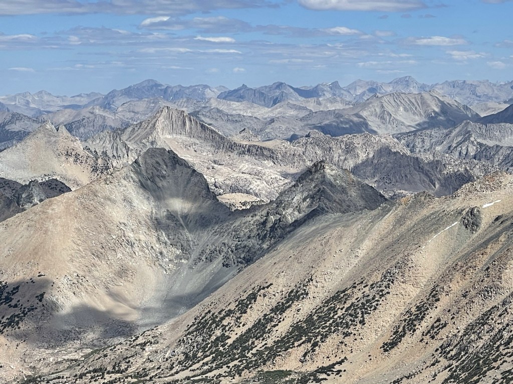
Looking behind me, I had a great view of Matlock Lake (left), Slim Lake (right), and an unnamed lake (top left).

I turned south and continued up a series of slabs. I passed near Bench Lake to the west but did not get a great look at it through the trees.
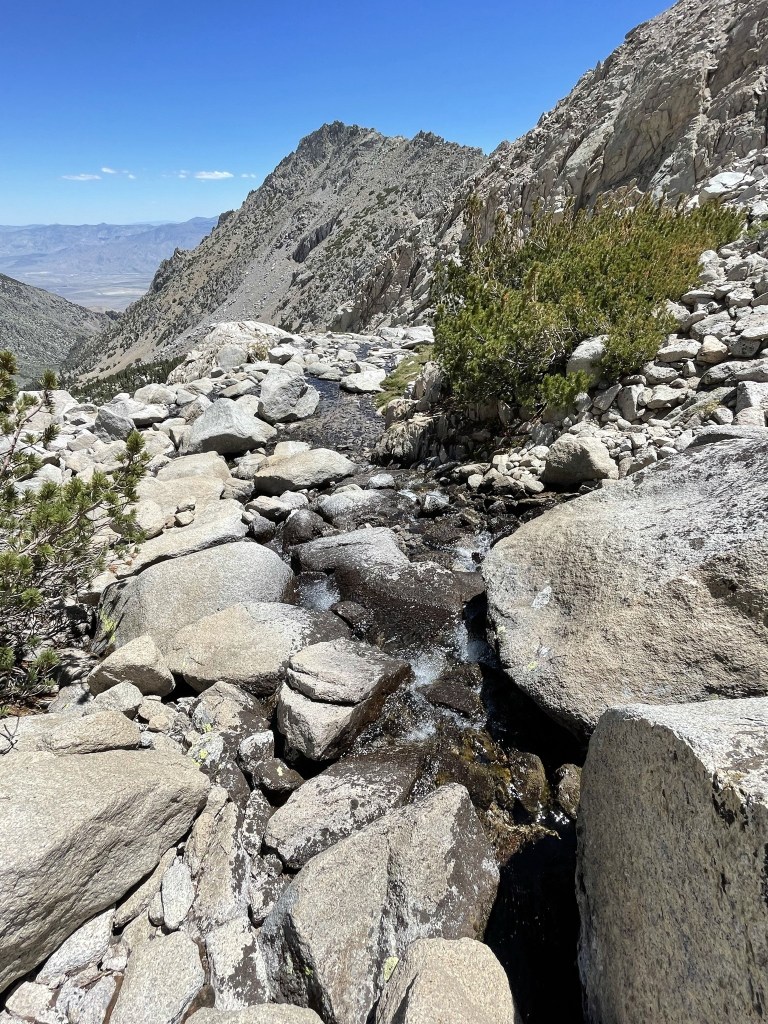
At 4.1 miles I reached an unnamed lake at 11393 feet. This is the final chance to get water before the descent.

I hiked around to the southern edge of the lake and then began the ascent of the north face.
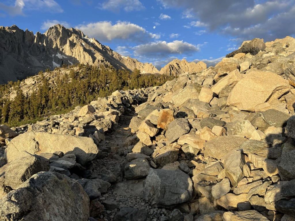
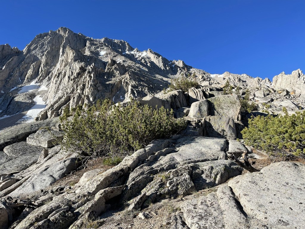
The lower part of the face was made up of medium sized talus. It got steeper as I ascended.
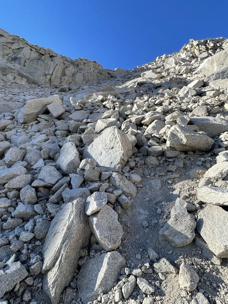
After a really steep part, the grade lessened slightly.
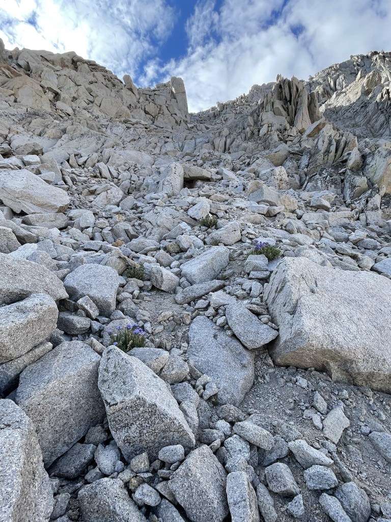
I noticed some pretty purple flowers.

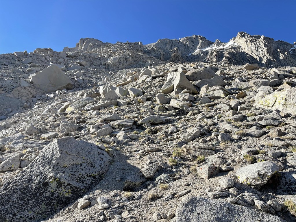
I continued in a southeasterly direction, making my way slowly but surely up the steep face. I had to stop every couple steps to catch my breath.
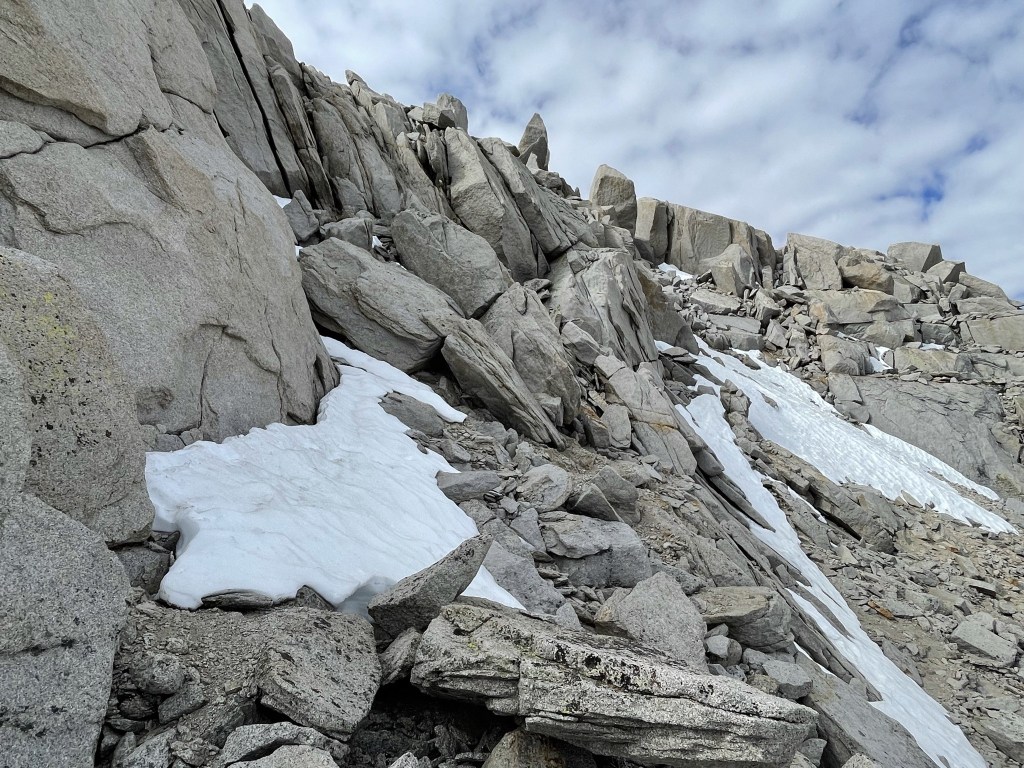
There were a few snow patches as I climbed higher.

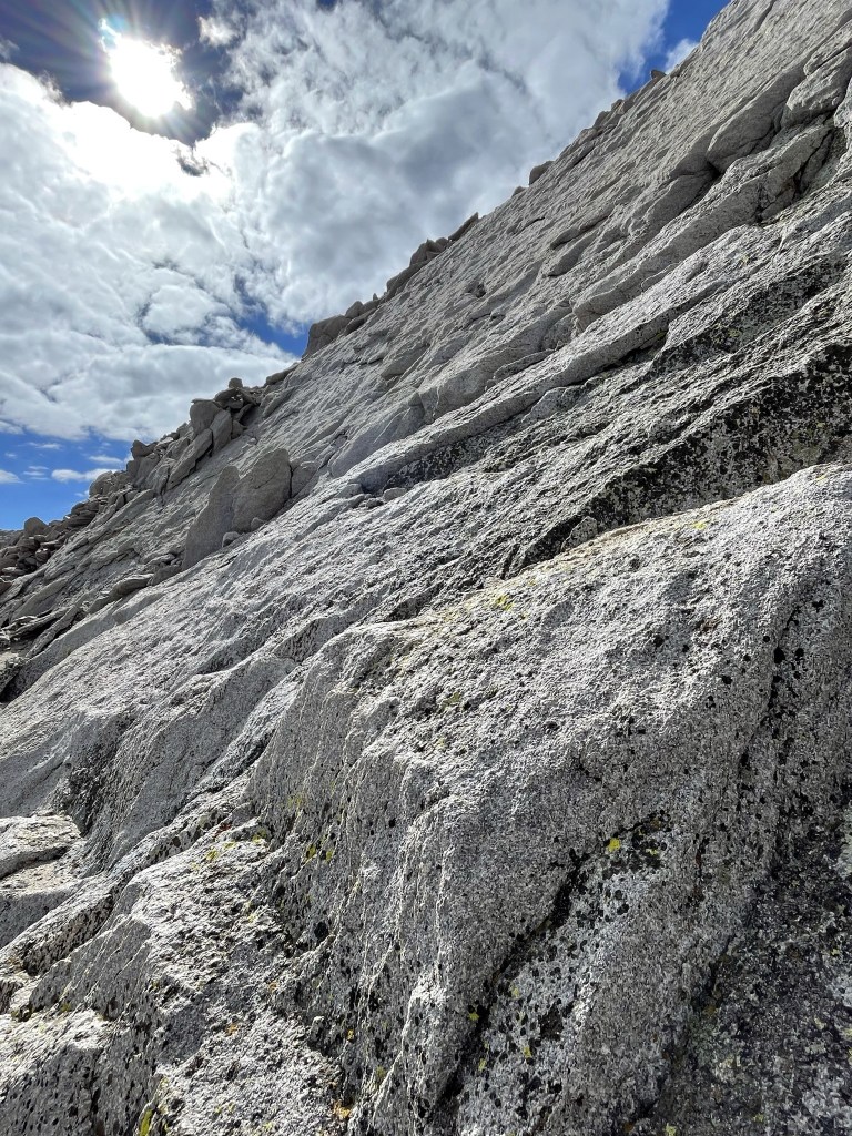
I encountered some steep slabs just below the ridge. Some class 3 climbing was required to proceed.
At 5.1 miles I gained the ridge northeast of the summit. I was only about 100 feet below the top.

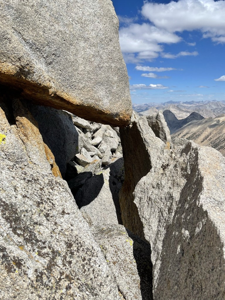
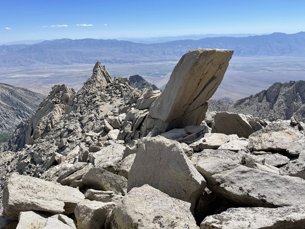
I climbed along the ridge to the southwest. At one point I had to duck through a talus window.
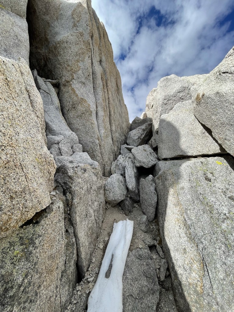
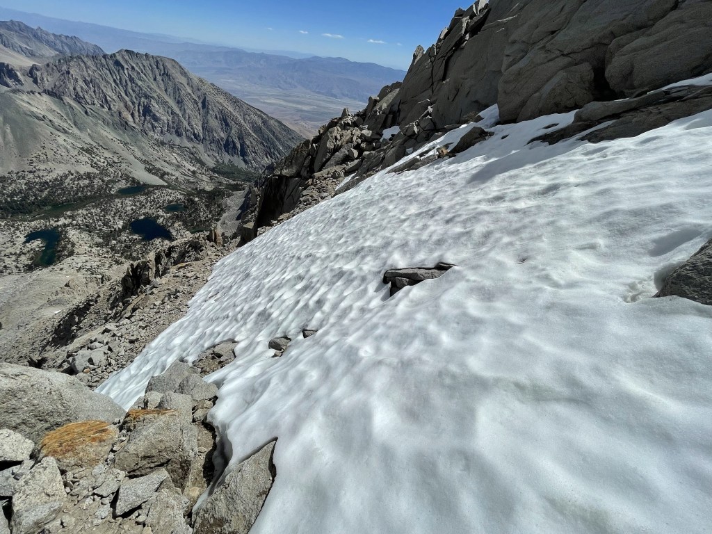
I dropped below the ridge on the right side. There was a large snowfield blocking the way, so I detoured back up onto the ridge. This required a difficult (class 3+) move.
I dropped back down below the ridge one final time and then ascended the final chimney to the summit.
I climbed up and reached the summit at 9:28am at 5.3 miles!

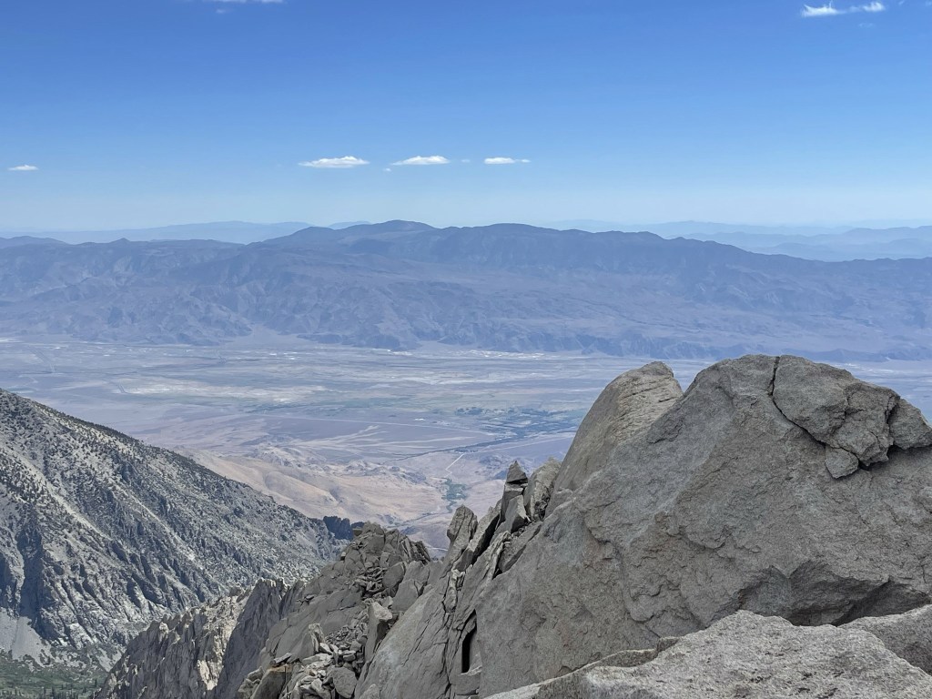
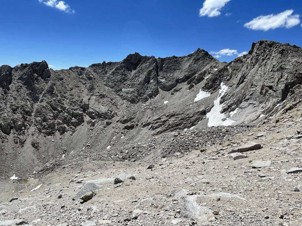
The ammo box containing the register was missing its top so unfortunately the register was pretty damp, but I still managed to sign it. There were a few register books – the newer one dated to 2012 and was most recently signed on June 19. I paged through one of the older ones and was surprised to find an entry from the previous day by another solo hiker from San Diego. It was a little cloudy, but the views were still spectacular. To the south I could see Mount Williamson (left), Mount Keith (center), and Mount Tyndall (right). Williamson and Tyndall are both 14ers while Keith is just under 14000.
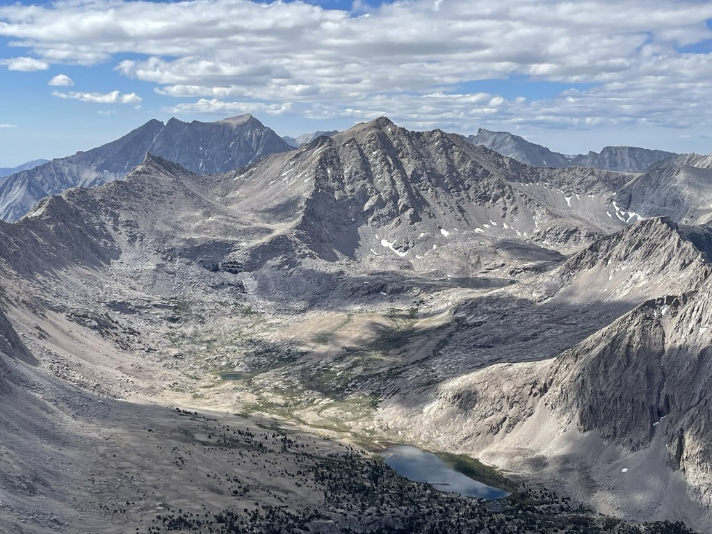
I could see Junction Peak to the southwest:
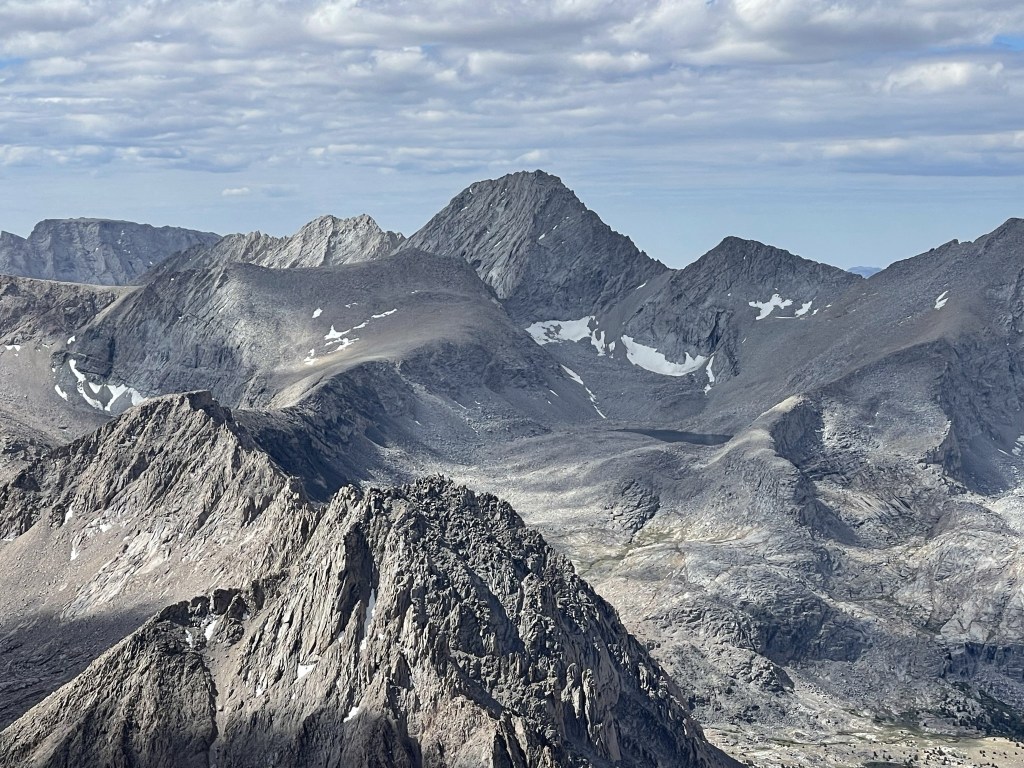
More high peaks a little further west:
South Guard, Mount Brewer, and North Guard (I think):
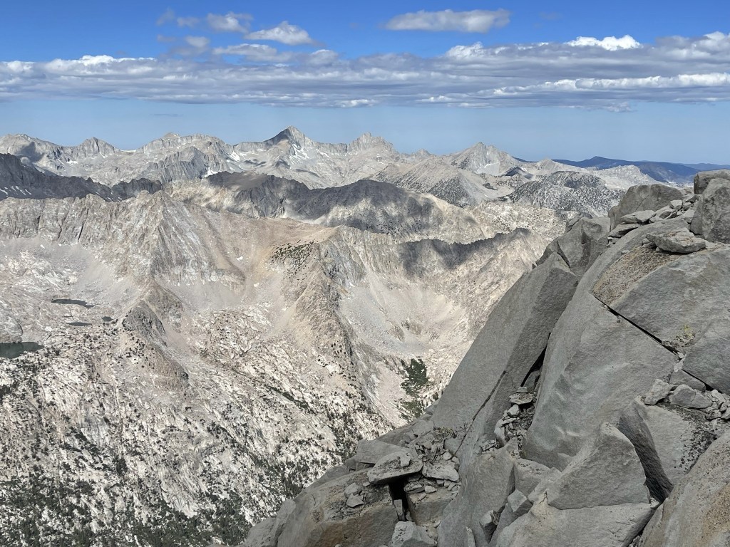
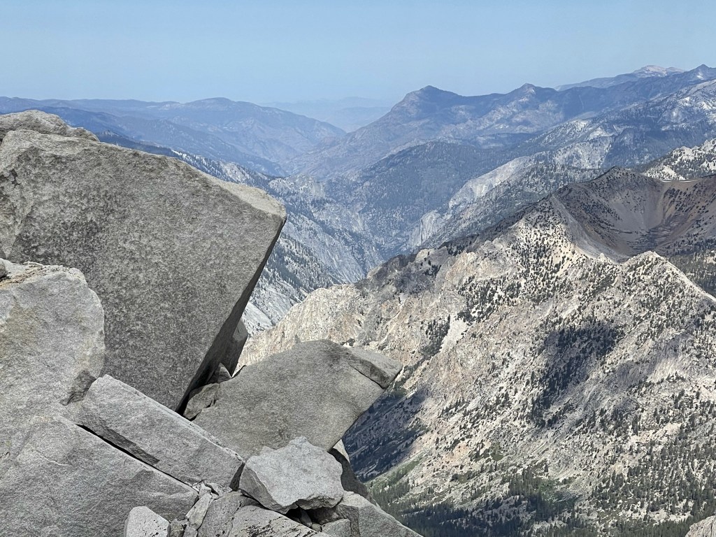
I could see Kings Canyon directly west. The summit of University lies on the Sierra Crest which divides Inyo National Forest and Kings Canyon National Park (as well as Inyo and Tulare Counties).
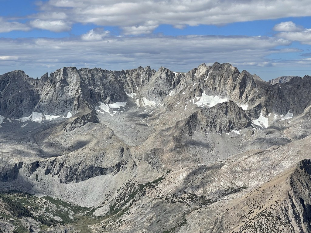
Looking northwest:
To the north I could see North Palisade, Middle Palisade, and Mount Pinchot:

White Mountain Peak to the northeast:

Waucoba Mountain and countless desert ranges to the east:
I spent about 40 minutes on the summit enjoying the views and perfect weather. I felt pretty awesome as this was one of the toughest mountains I had ever climbed. I began descending just after 10am. I climbed back down the narrow chimney.

I decided to cross the snowfield below the summit rather than repeat the awkward climbing I had done to get around it. I hadn’t realized before that the snow actually didn’t extend all the way to the edge so there was a narrow dry ledge at the bottom to catch me if I slipped. I was able to kick steps into the snow, so I made it across without any difficulty.
I proceeded back through the talus window and then climbed down the ridge.
I had to do a slight downclimb to the west and then climbed back up to the ridge at the top of the chute I would descend to the east.

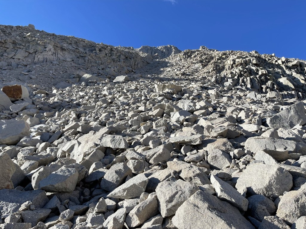
I began descending the steep eastern slope of University. The chute I was in was really a mess. It was steep and full of loose scree and rocks.
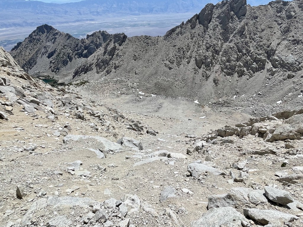
About halfway down, the chute became sandier so I was able to surf down large sections of it. This would be a terrible ascent route.
Eventually I turned northeast and made a direct line towards Robinson Lake. This involved endless side hilling through bouldery terrain.

Finally, I could see Robinson Lake from above. Independence Peak is above on the right.

I was able to follow a vague use trail in spots as I neared the lake. There was also a small creek flowing into the lake caused by snowmelt.
I reached Robinson Lake at 7.3 miles at 10553 feet.

I made the decision to skip Independence Peak and just return to the car. I was very exhausted from the last 2 days and Independence would be another 1500 foot climb up scree and talus slopes. Plus, I had a long drive home and wasn’t really in the mood to get back after 10. I decided to take a longer break at the lake and really enjoy the scenery one last time. I took off my shoes and socks and walked around in the lake. The water was so cold I couldn’t keep my feet in for longer than 30 seconds. I was covered in a thick layer of sand and dust from the descent, so it felt nice to wash my arms and legs. I even laid down on the grass and closed my eyes for 10 minutes. I had kind of a zen moment as I laid there with the sun shining on me and all I could hear were birds and running water. I finally got moving again around 12:30. I hiked around the eastern shore of the lake and picked up the trail that leads back down to Onion Valley. There were a few groups of people hanging out near the lake, including some fishermen.

The Robinson Lake trail descended steeply back to Onion Valley. It was getting very warm in the afternoon sun.
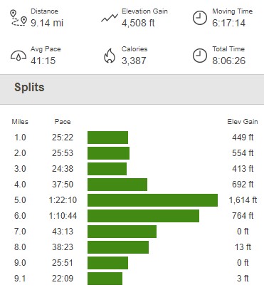
I reached the car again at 1:12pm. This hike totaled 9.14 miles, 4508 feet elevation gain, and 8:06:26 total time.
What a fantastic weekend! The Eastern Sierra is really a magical place, and I felt lucky to live so close.
