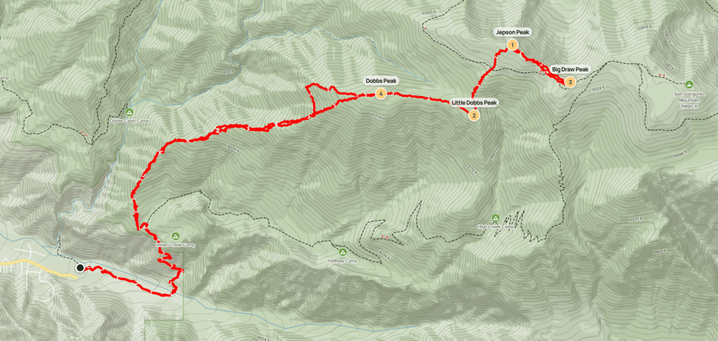
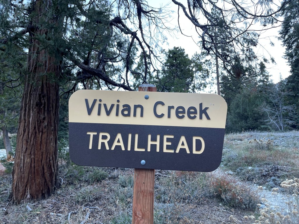
Dobbs Peak (10459 ft), Little Dobbs Peak (10520 ft), Jepson Peak (11205 ft), and Big Draw Peak (11171 ft) are 4 peaks in the San Gorgonio Wilderness of the San Bernardino Mountains. I planned to climb the 4 of them on the first day of a quick 2 day trip to the area. Jepson and Big Draw are on the crest of the range, so they can be accessed from any side. Dobbs and Little Dobbs are on the southern side of the range, so they are usually accessed from the Vivian Creek Trailhead. I woke up early Friday morning and made the quick 2 hour drive to the Vivian Creek Trailhead, which is also the most popular trailhead for attempts on San Gorgonio itself. The actual trailhead was closed for the season, so I parked at the Big Falls Trailhead about 0.2 mile away. I began hiking at 7:20am from 5989 feet above sea level. It was 33 degrees.
I walked through the picnic area and onto the official trail. I hiked past some cabins and then crossed Mill Creek, which did not have any running water.

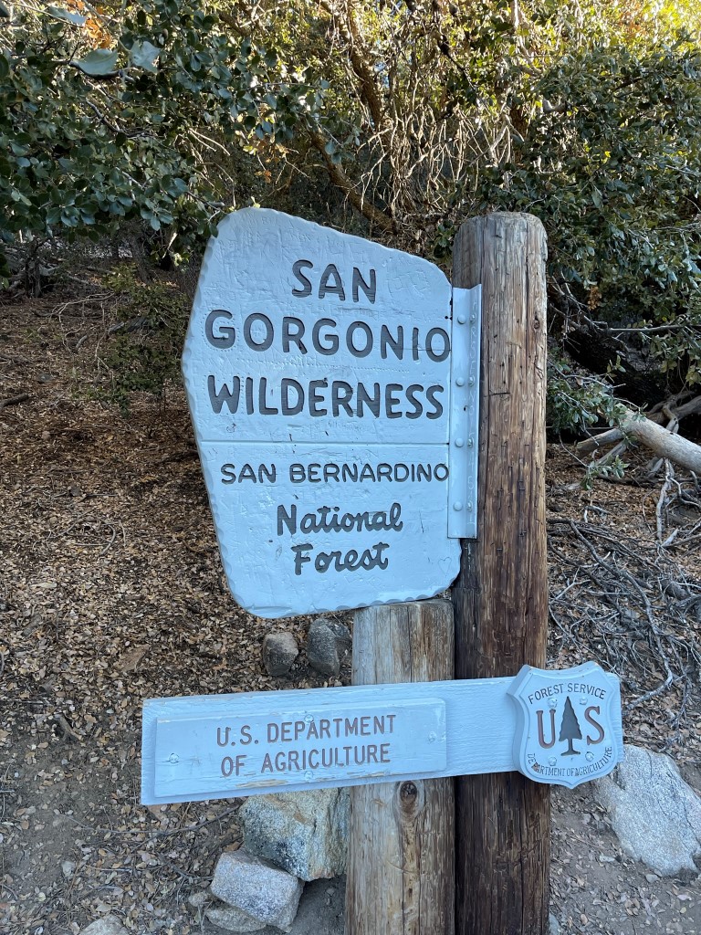
I found the trail on the north side of the creek. This part of the trail is relatively steep until Vivian Creek Camp. I reached the wilderness sign at 1.5 miles.
There had been some icy patches down below, but the trail was pretty dry up to this point. At 1.6 miles / 7100 ft I left the trail in the vicinity of Vivian Creek Camp. My plan was to follow the ridge north and then east directly to Dobbs Peak.
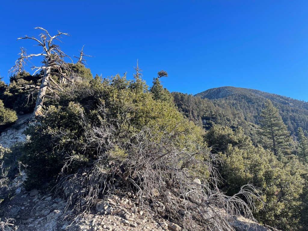
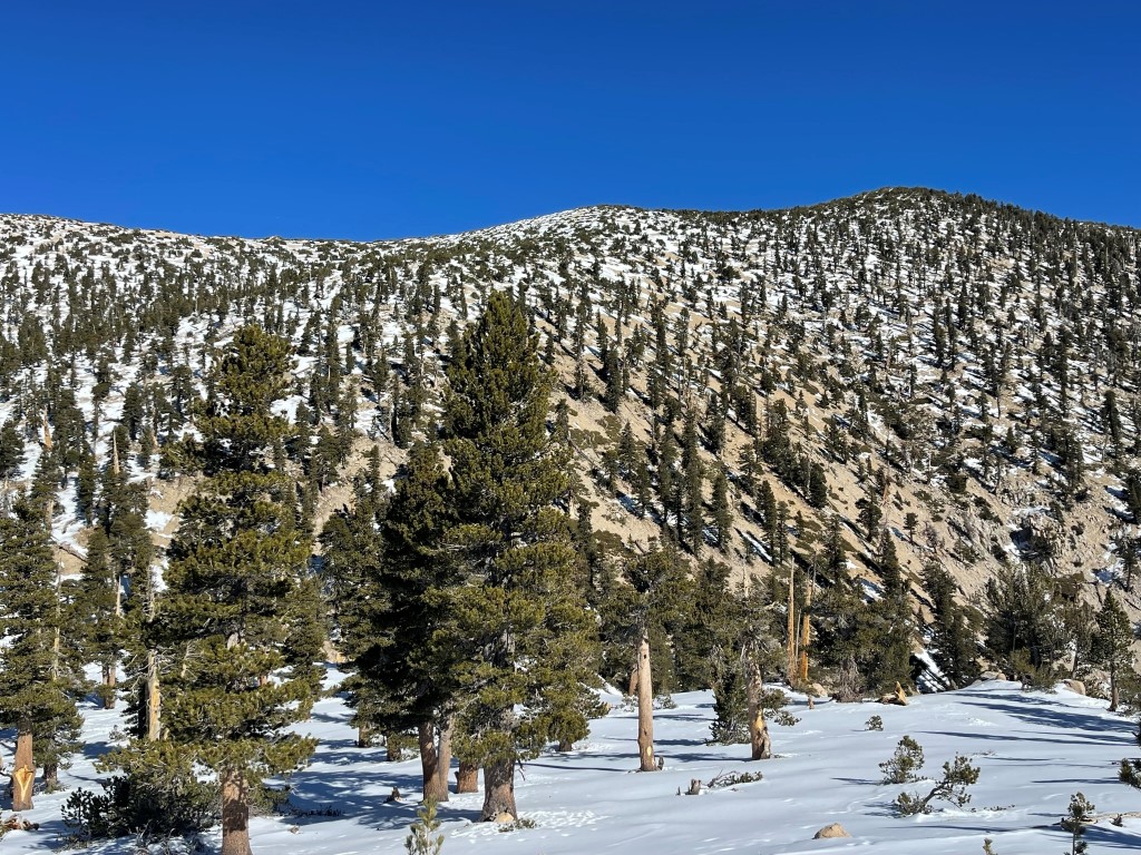
It was now starting to feel pretty warm in the sun, so I shed some layers. I made decent time up the ridge – thankfully there was a vague use trail at times, and it was not overly brushy. I encountered more and more snow as I climbed higher.
There was complete snow coverage starting around 9000 feet. The snow was hard packed and very icy, so I put on my crampons.

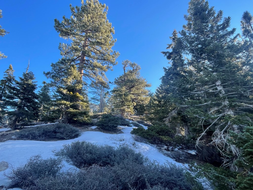
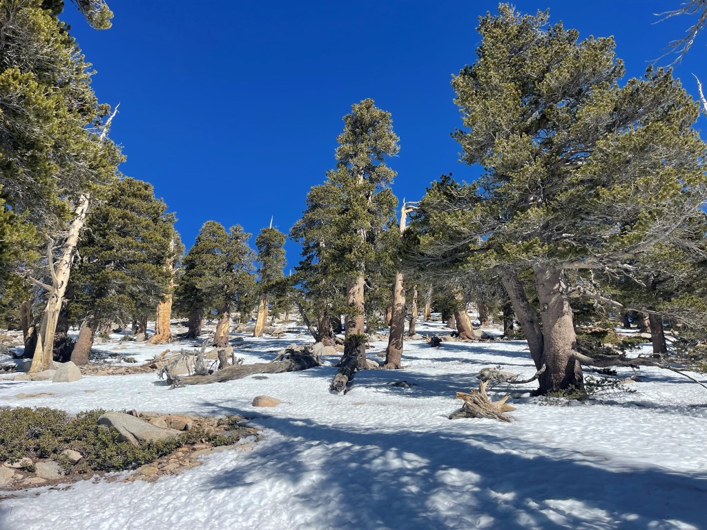
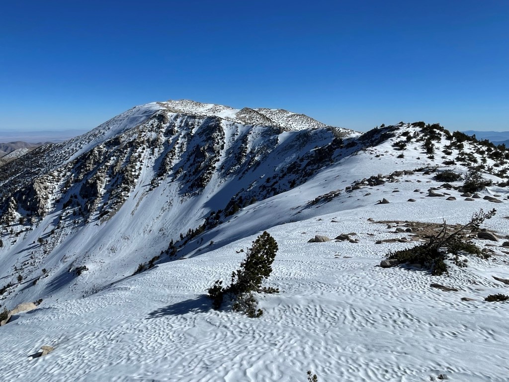
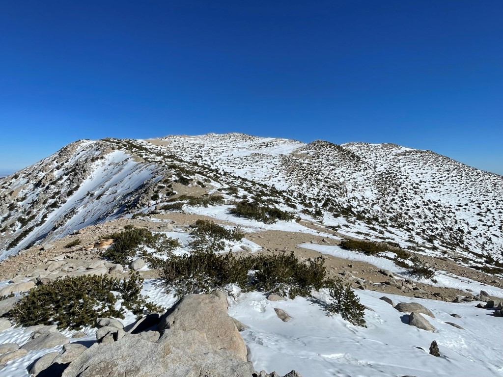
I took off my crampons as the top of the ridge dried up around 9700 feet. I didn’t realize it at the time, but I accidentally left behind one of my poles as I got moving again. I don’t normally use poles, but I had been using just one for balance on the icy terrain. I soon made it up to the broad summit of Dobbs at 10:38am at 4.3 miles! I signed the register which had been placed on October 22. I was the first to sign it since then. I had a nice view of Jepson and San Gorgonio ahead:
I continued east to Little Dobbs. It was a very pleasant walk along the flat ridge.
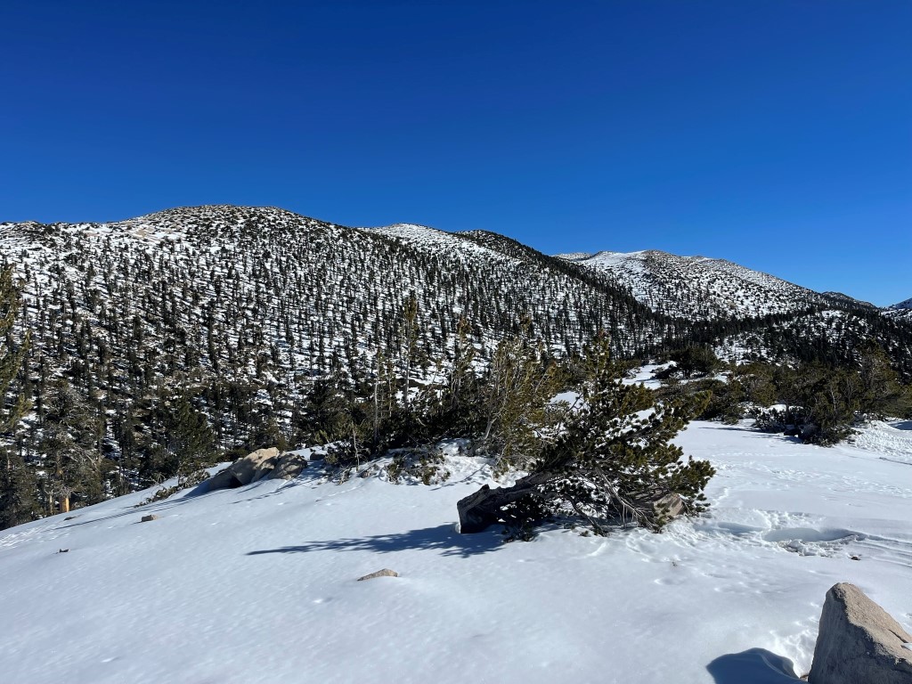
I reached Little Dobbs at 11:12am at 5 miles. Little Dobbs is actually 71 feet higher than Dobbs Peak. I signed the register which had been placed in 1977. The most recent entry was from September 18. I then turned north towards Jepson.
I put my crampons back on and climbed up the steep slope to Jepson.
I reached Jepson at 12pm at 5.7 miles!

I located an open ammo container that was filled with frozen snow. I chipped away at it briefly with my ice axe, but I did not find a register inside. San Gorgonio looked majestic to the east:
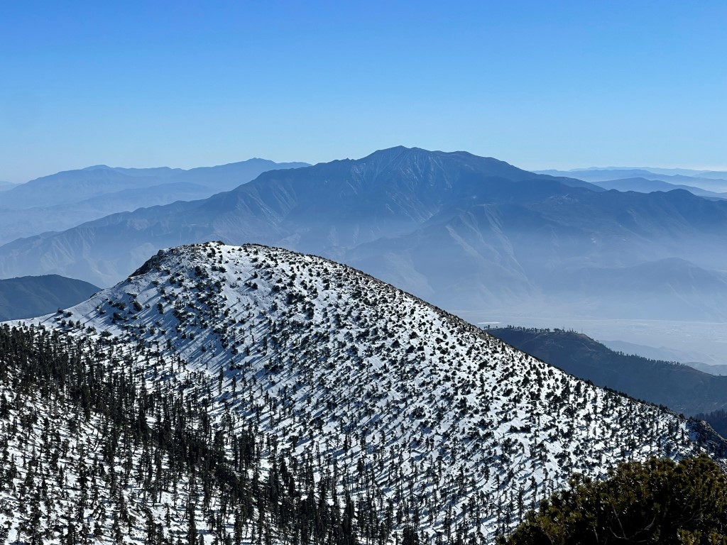
To the west I could see San Bernardino Peak, Anderson Peak, and Shields Peak with Mount Baldy in the distance:
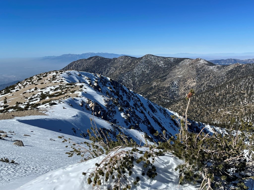
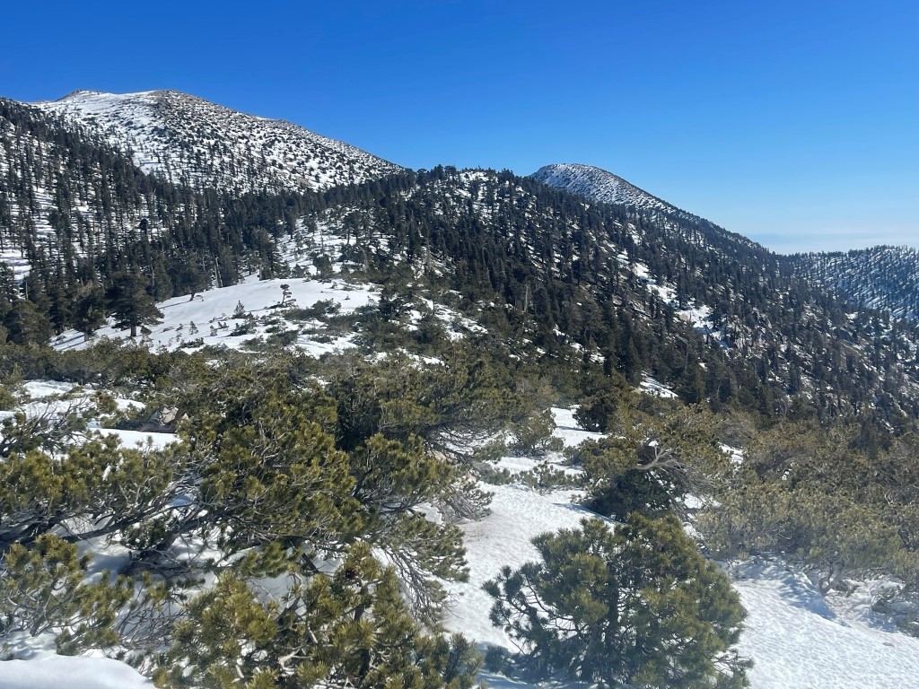
I continued east along the ridge to Big Draw Peak. The snow wasn’t too deep even above 11000 feet, but there were some drifts that were a couple feet deep.

I reached the summit at 12:31pm at 6.4 miles! San Gorgonio was now very close:
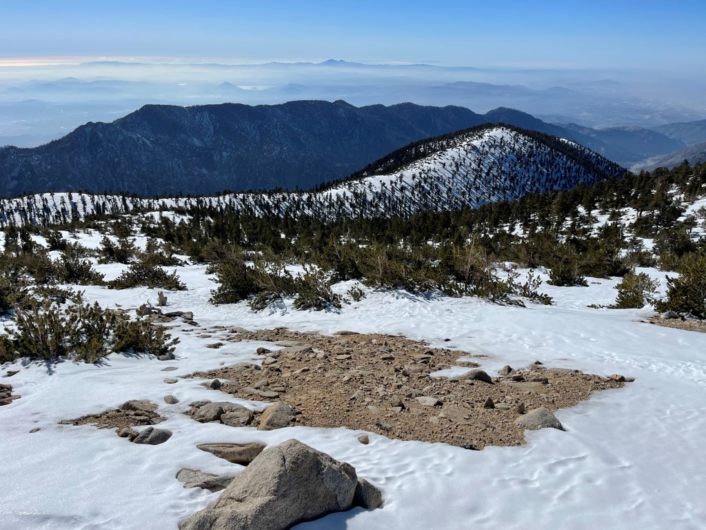
San Jacinto to the south:
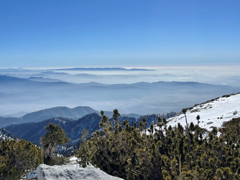
Palomar Mountain rising above the cloud layer to the south:
By this time, I had realized that I was missing one of my poles. My original intent was to pick up the trail (which passes very close to Big Draw Peak) and descend that way. I chose instead to reverse my ascent route in the hope of finding my pole on the way down. Luckily, I had noted the elevation where I had removed my crampons on the way up to Dobbs, and I was 99% sure that is where I had left it.
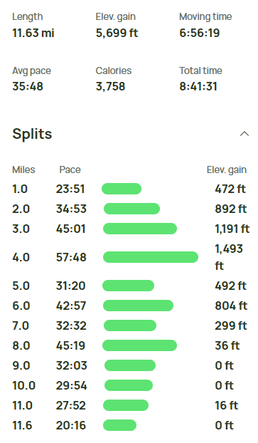
I retraced my steps to Jepson, Little Dobbs, and Dobbs. I made a wrong turn on the way down from Dobbs and ended up on the wrong ridge. I had to traverse south along a brush infested slope to regain the correct ridge. I located the spot I had removed my crampons and thankfully found my pole. From there, I made good time back to the trailhead. I reached the car at 4:53pm. Stats were ~13 miles, 5700 feet elevation gain, and 9 hours 33 minutes. Note that my GPS randomly shutoff on the descent from Jepson to Dobbs so there is some mileage and time missing from the info below.