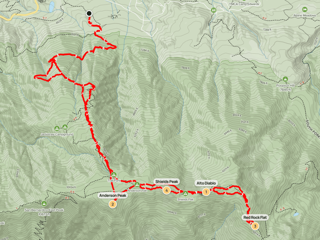
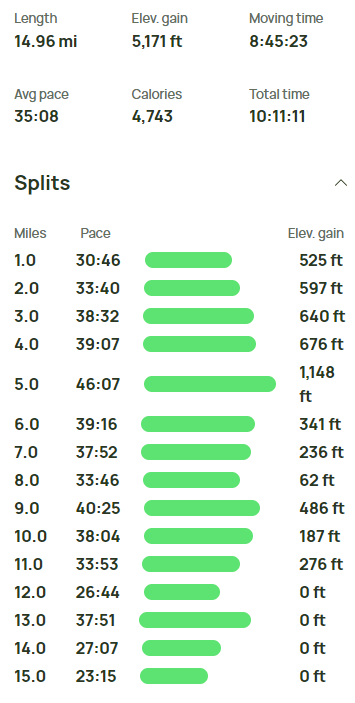
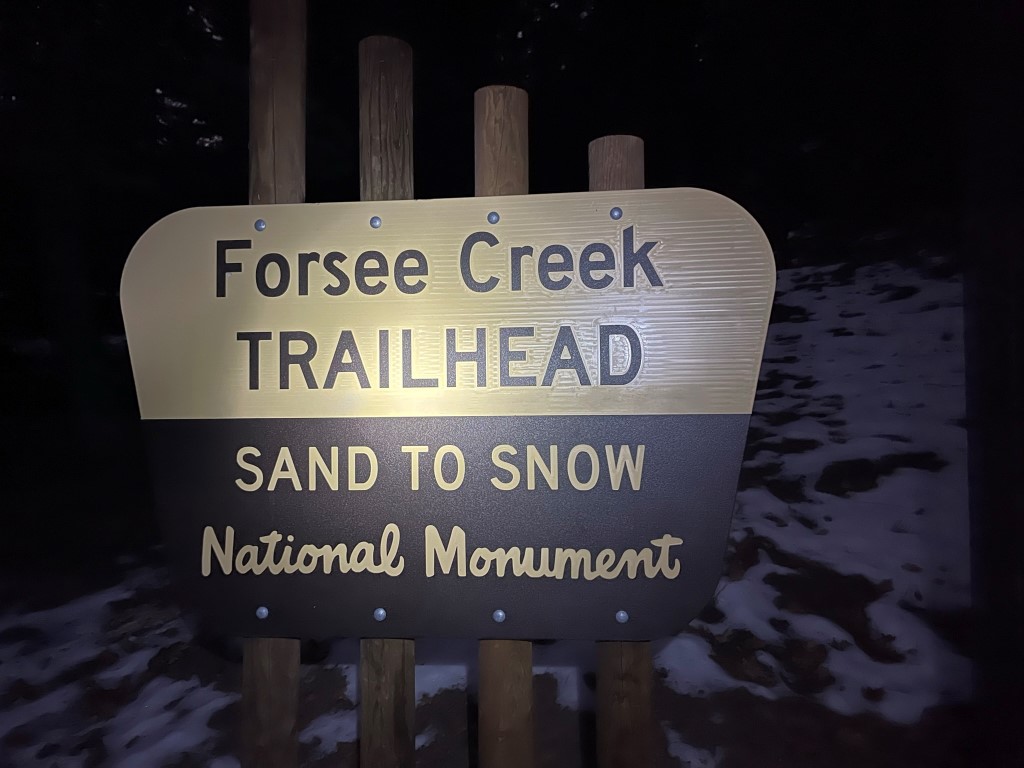
Anderson Peak (10840 ft), Shields Peak (10680 ft) and Alto Diablo (10563 ft) are 3 peaks on the San Bernardino Divide located northwest of San Gorgonio. I planned to climb the 3 of them from the Forsee Creek Trailhead on the 2nd day of a quick 2 day trip in the area. I had driven in the night before and slept in my car at the trailhead. The trailhead is located 0.4 mile from Jenks Lake Road on a dirt road which requires high clearance, although it is possible to park at the beginning of the dirt road if necessary. I began hiking at 6:04am from 6709 feet above sea level. It was 31 degrees.
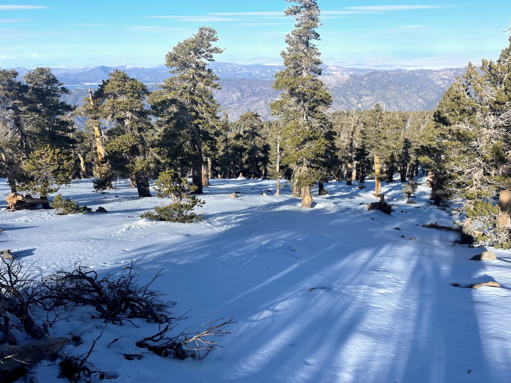
I hiked south by the light of the moon. There was patchy snow from the start.
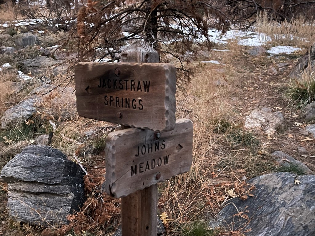
At 0.5 miles I went left at a junction.
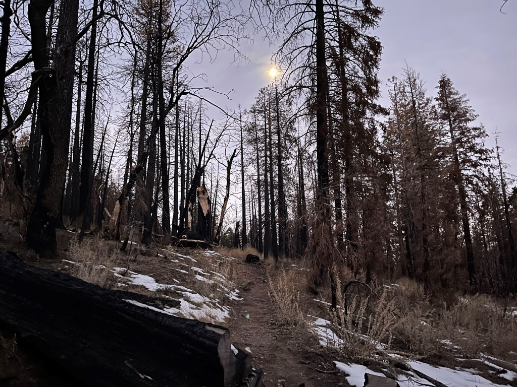
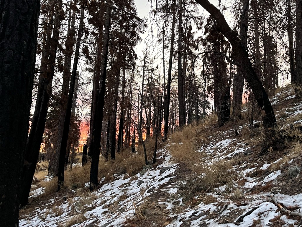
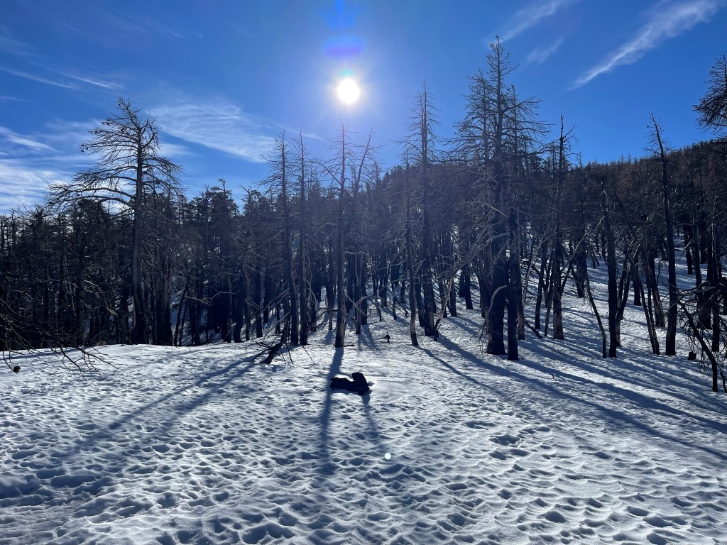
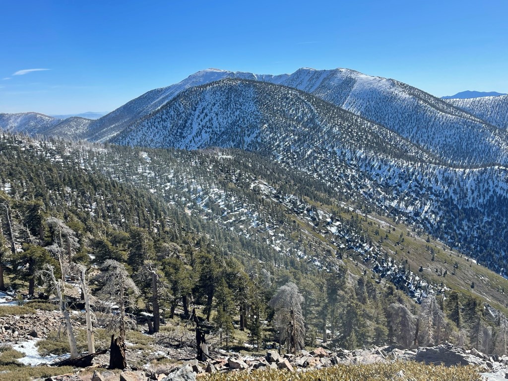
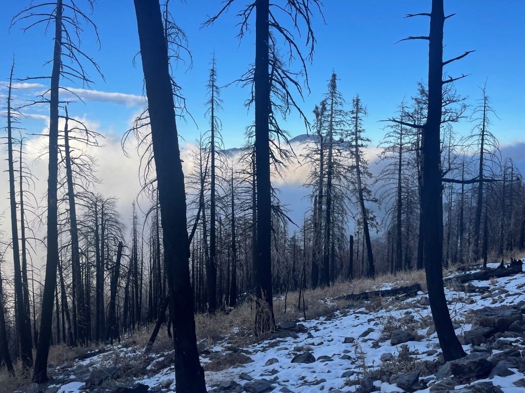
Basically the entire north side of the San Gorgonio Wilderness was burnt to a crisp by the 2015 Lake Fire. It made me sad walking through all the dead forest. The sun was beginning to rise in the east.
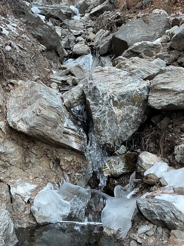
I passed a partially frozen creek.
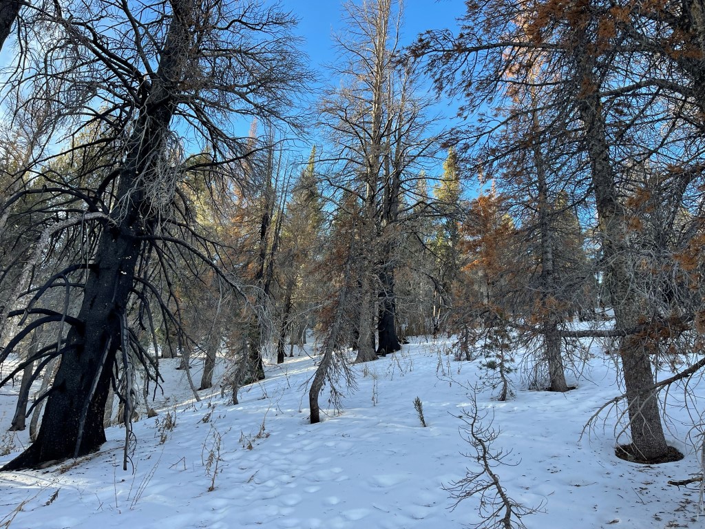
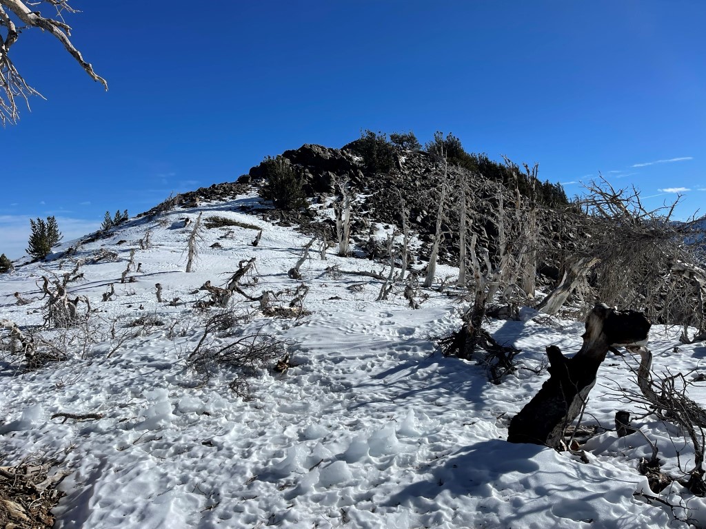
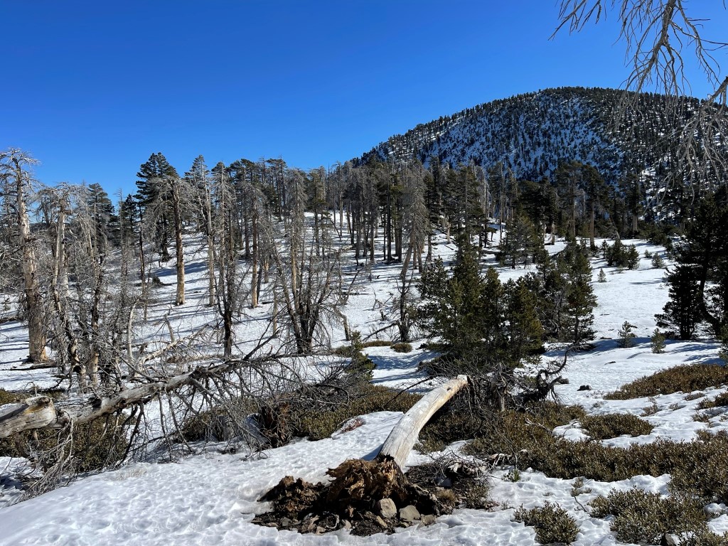
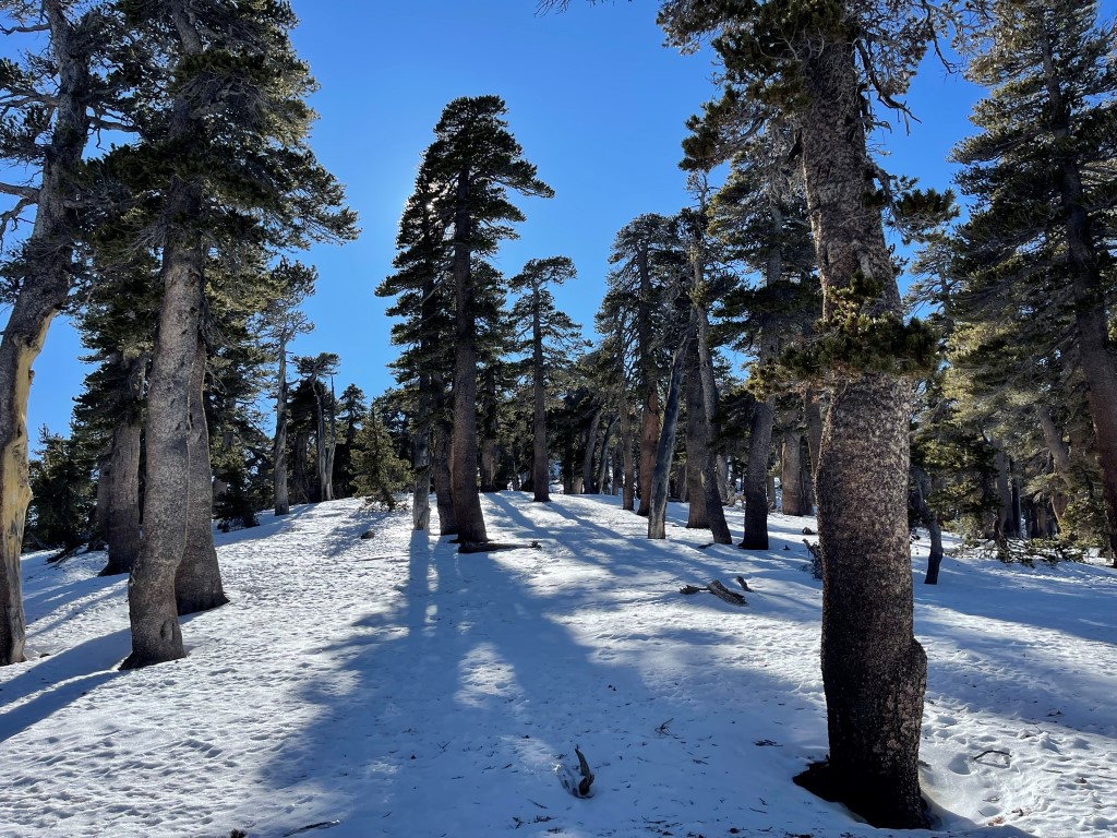
The trail made a couple long switchbacks as it gradually gained elevation up the slope. The trail was unnecessarily gentle, so it was frustrating how slowly I was gaining elevation. As soon as the hillside had full snow coverage, I put my crampons on and went south straight up the slope. This was at 3.5 miles / 8800 feet.
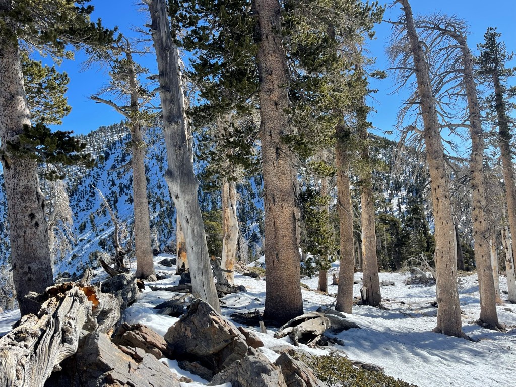
It wasn’t too steep, so I made good time up the icy slope. There was really no reason the trail had to take such a meandering route. Similar to yesterday, the snow was hard packed which made it good for crampons.
As I neared the ridgeline, I turned east towards Shields Peak. It was very windy on the ridge which made it feel much colder than it had the previous day.
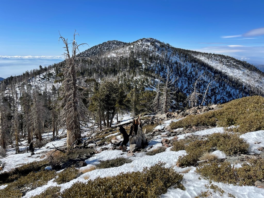
I reached the summit of Shields at 10:17am at 6 miles! I located an open ammo container that was filled with icy snow. There was a beat up cover of an old register book inside, but the pages all seemed to be gone. I could see Alto Diablo to the east along the ridge in front of me.
I descended the east side of Shields Peak and then climbed up Alto Diablo.
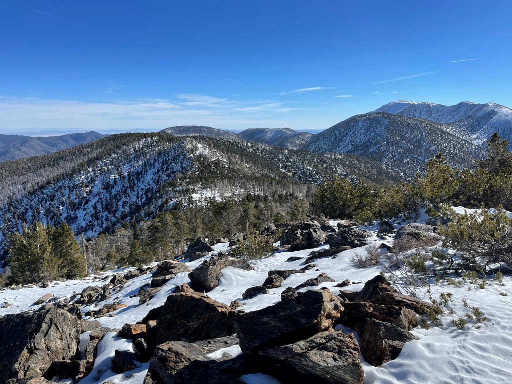
I reached Alto Diablo at 10:49am at 6.6 miles! Once again, the ammo container was wide open. There was actually a container holding the register inside, but it was completely frozen to the bottom of the ammo container. San Gorgonio was visible above Charlton Peak to the southeast:
I decided to continue southeast along the ridge to a minor little peak called Red Rock Flat (10116 ft). I took off my crampons and descended a few hundred feet along the ridge.
I reached Red Rock Flat at 11:41am at 7.7 miles. This insignificant summit just consisted of a pile of rocks with barely over 30 feet of prominence. I did not find a register. Trees blocked most of the view. This is looking southeast towards Charlton Peak:
I then retraced my steps back to the northwest.
I had to nearly reclimb Alto Diablo. Shields Peak was easier to bypass on the north side. I put my crampons back on since the hard snow was so icy. After getting around Shields, I climbed southwest to Anderson Peak.
I reached Anderson Peak at 1:48pm at 10.4 miles!
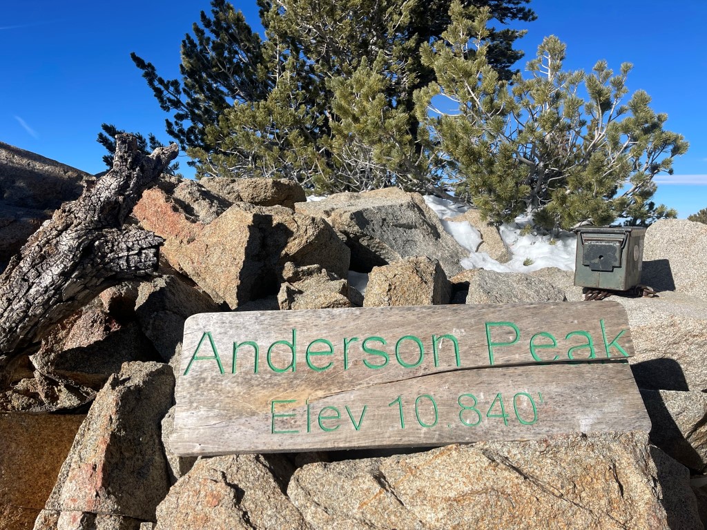
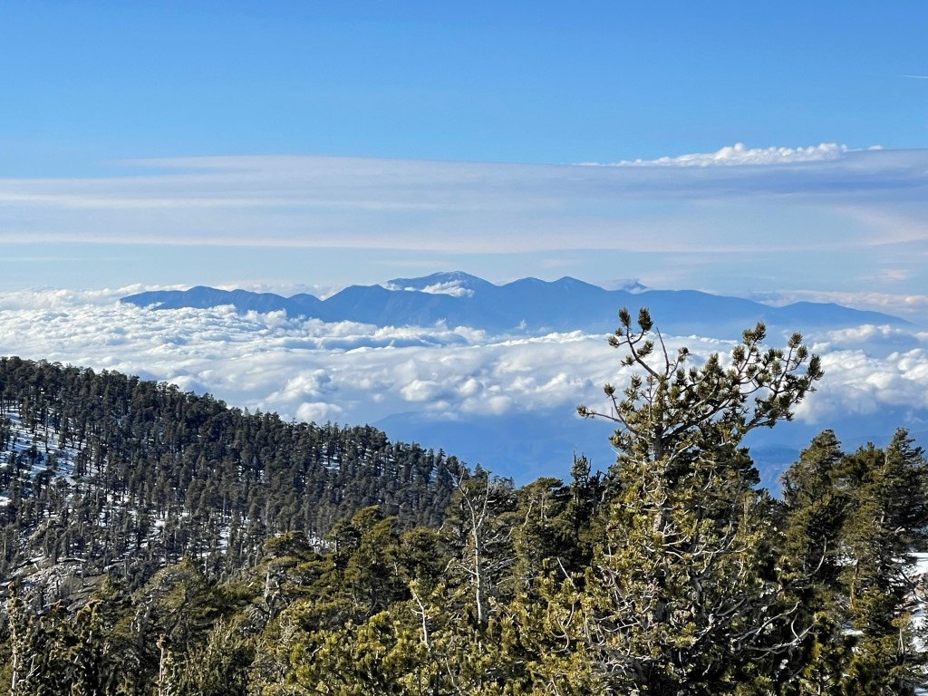
I was surprised to find the ammo container was actually shut properly and contained a dry register inside. It had been placed on June 18 and was most recently signed on December 4. Mount Baldy to the west:
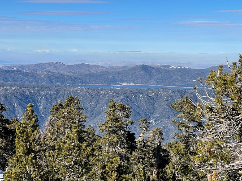
Big Bear Lake to the north:
A pair of hikers joined me on the summit just as I was getting ready to descend. They had started from the same trailhead and were only climbing Anderson. I considered continuing to San Bernardino East Peak, but I decided it was too late in the day and I was fairly exhausted already. I then descended north directly down the icy slope.
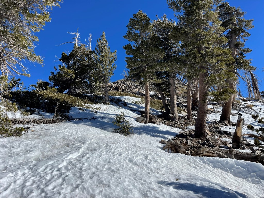
I picked up the trail once more at 12.3 miles / 8600 feet. I cut one more switchback a bit further down and then took my crampons off for good. Some fog had moved into the valley below.
I reached the car at 4:15pm. Stats for this hike were 14.96 miles, 5171 feet elevation gain, and 10:11:11 total time.